
My sincere apologies that it has taken so long to get back to New Zealand. Some of the delay was the result of another trip in Central America (which will likely be the subject of another blog) but we also ran into some technical issues (ran out of blog memory!) and, after unsuccessfully trying to migrate to some other more affordable hosting options, we finally had to bite the bullet and upgrade our WordPress account .
One minor note, I have started listing both the dates and days of the week we are in each place. I’ve done this after reading so many blogs and watching so many videos where you have no idea what time of year it is, which can make a difference (particularly with weather). Similarly, the day of the week sometimes has some bearing how busy and active (or not busy and active) a place is.
One final note: According to my WordPress counter, this segment of the blog is over 10,000 words and could take an hour or more to read. (Sorry, not sorry!) I considered breaking it up into smaller segments but, in the end, decided that you can decide when you’ve had enough and come back to it later if need be.
So, with that said, back to New Zealand. Last time I wrote, we were leaving Christchurch on the South Island and catching a flight for Wellington on the North Island…
Wellington (Tuesday March 5th to Wednesday March 6th)
Wellington sits near the North Island’s southernmost point on the Cook Strait. The area around Wellington has been occupied by various Maori groups since the 12th century. European settlement of the area began in 1839 and in 1840 Wellington was declared a city. In 1865 Wellington was declared the capital of New Zealand replacing Auckland, which had been the capital since 1841. (It was felt that a more central location for the capital was necessary.)
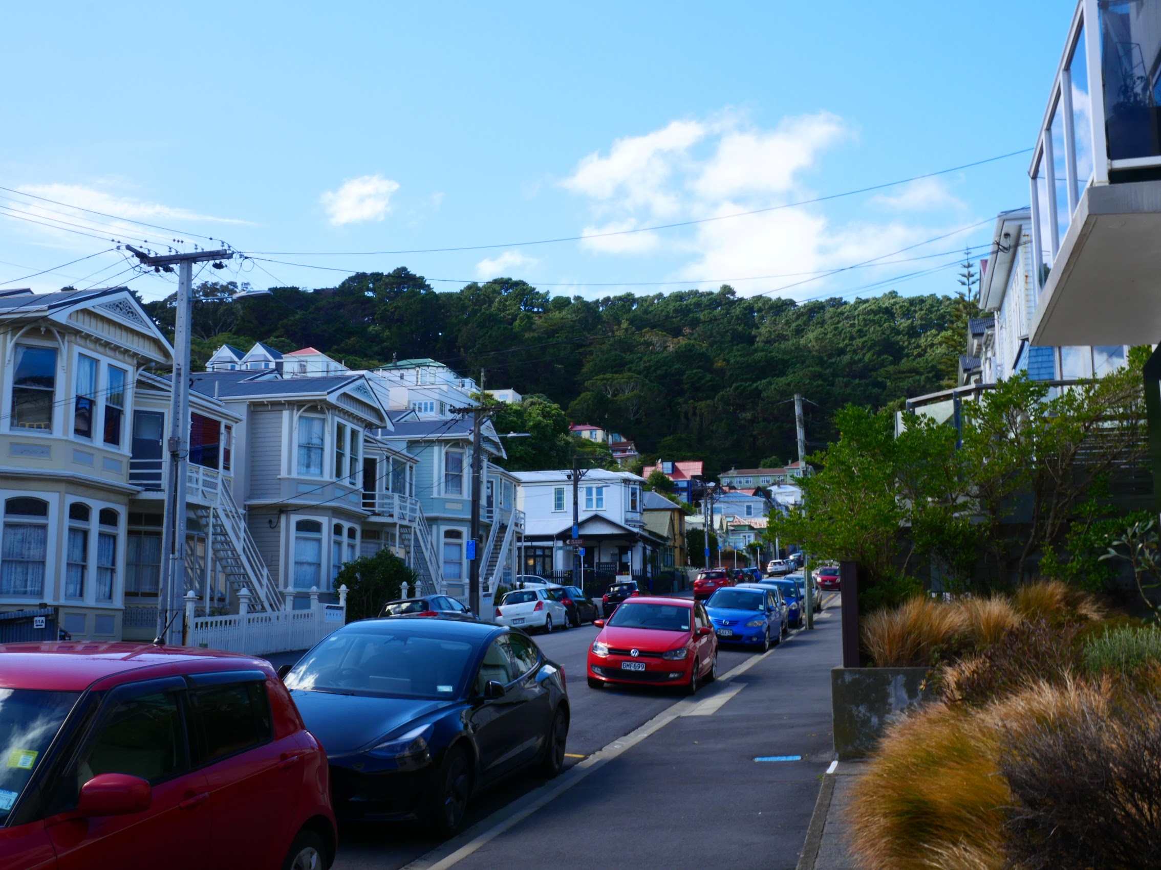
With a population of 220,000, Wellington is New Zealand’s 2nd largest city (behind Auckland). Wellington is a very compact city which, in addition to a vibrant downtown, encompasses a waterfront promenade, sandy beaches, a working harbor and colorful wooden houses in surrounding hills which make it somewhat reminiscent of San Francisco in the United States.
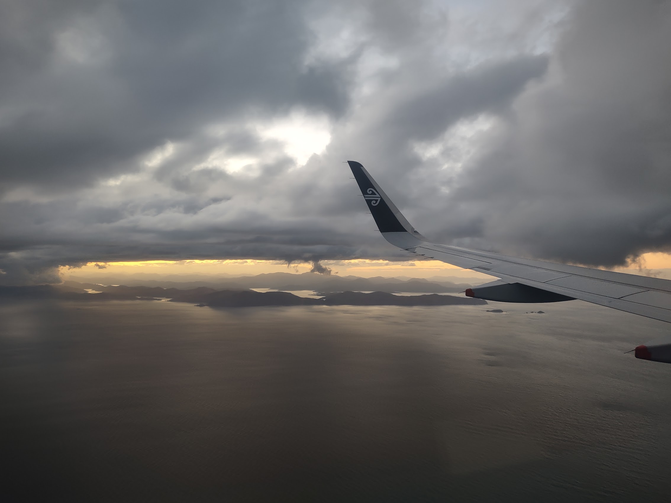
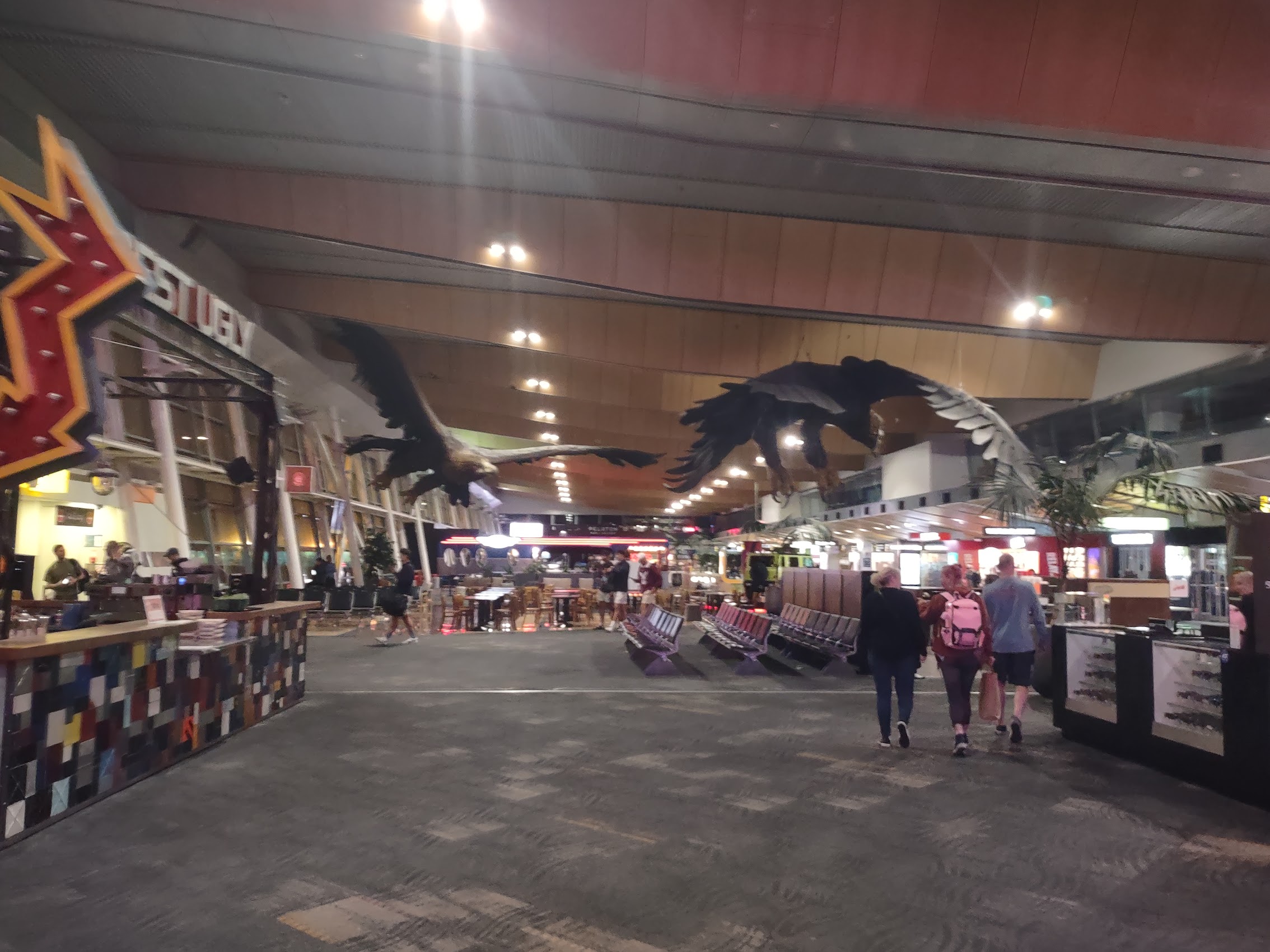
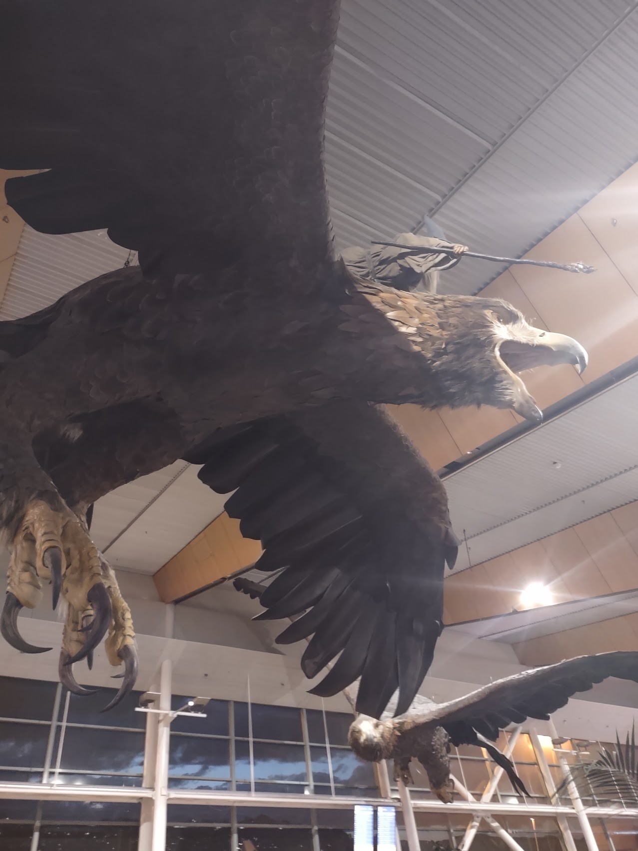
We took off from Christchurch International Airport on New Zealand’s South Island at about 7:30 PM on March 5, 2024 and arrived in Wellington about an hour later. We were greeted in the Wellington Airport by a flight of large eagles circling the terminal with Gandalf the Grey riding on the back of one of them, a reminder that, amongst it’s other claims to fame, New Zealand has in recent years become known as the place where The Lord of the Rings and Hobbit movies were filmed.
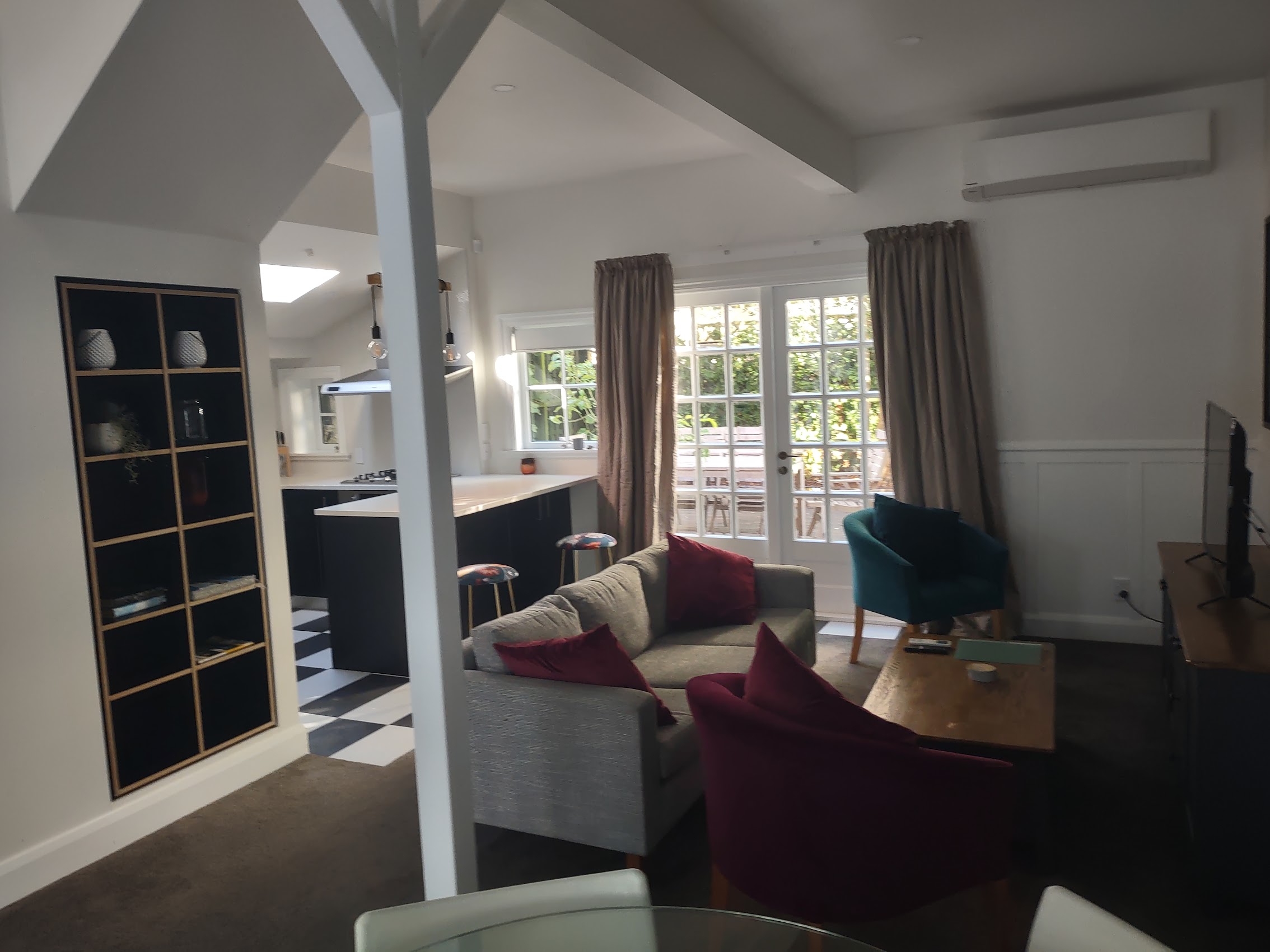
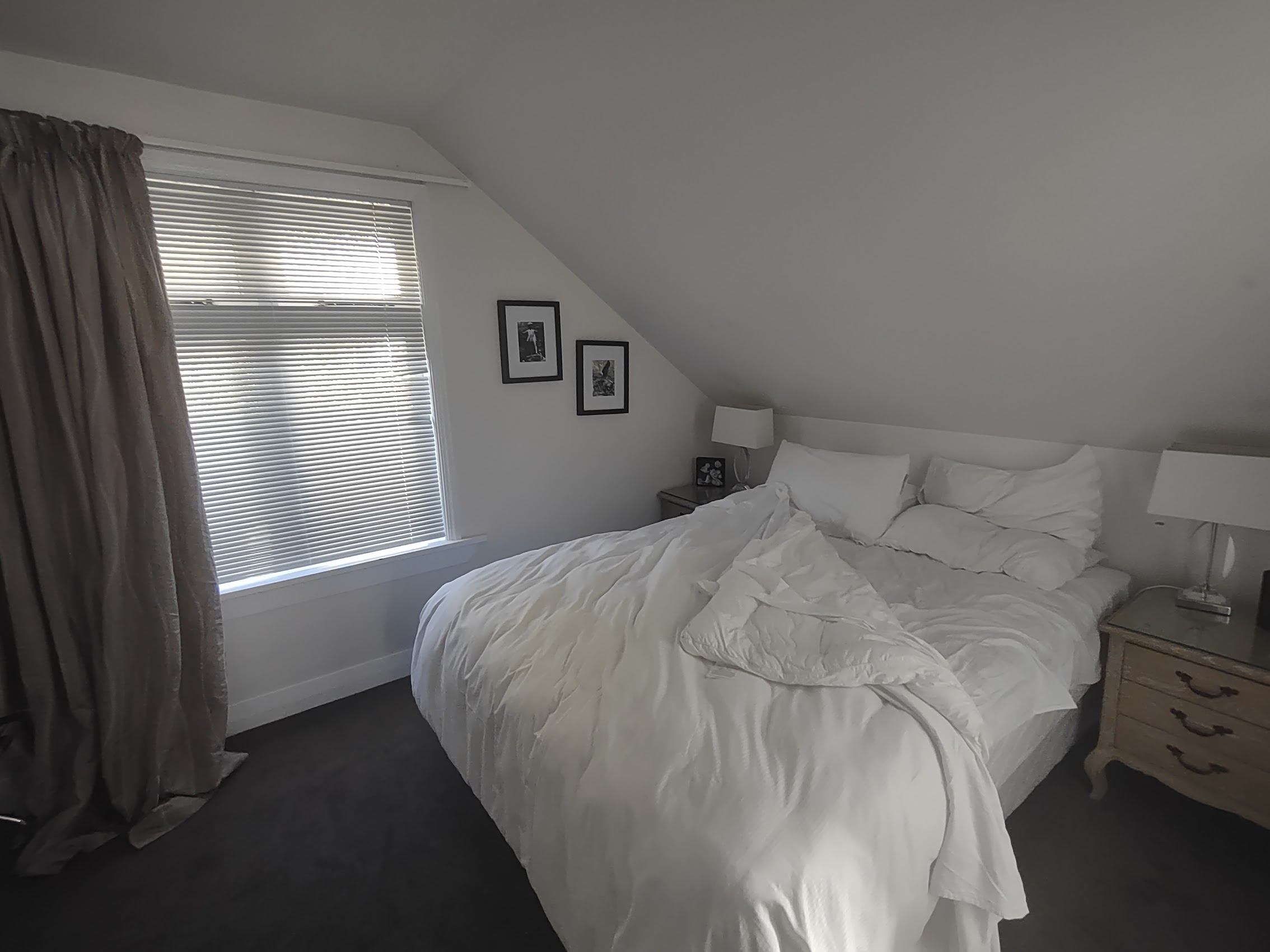
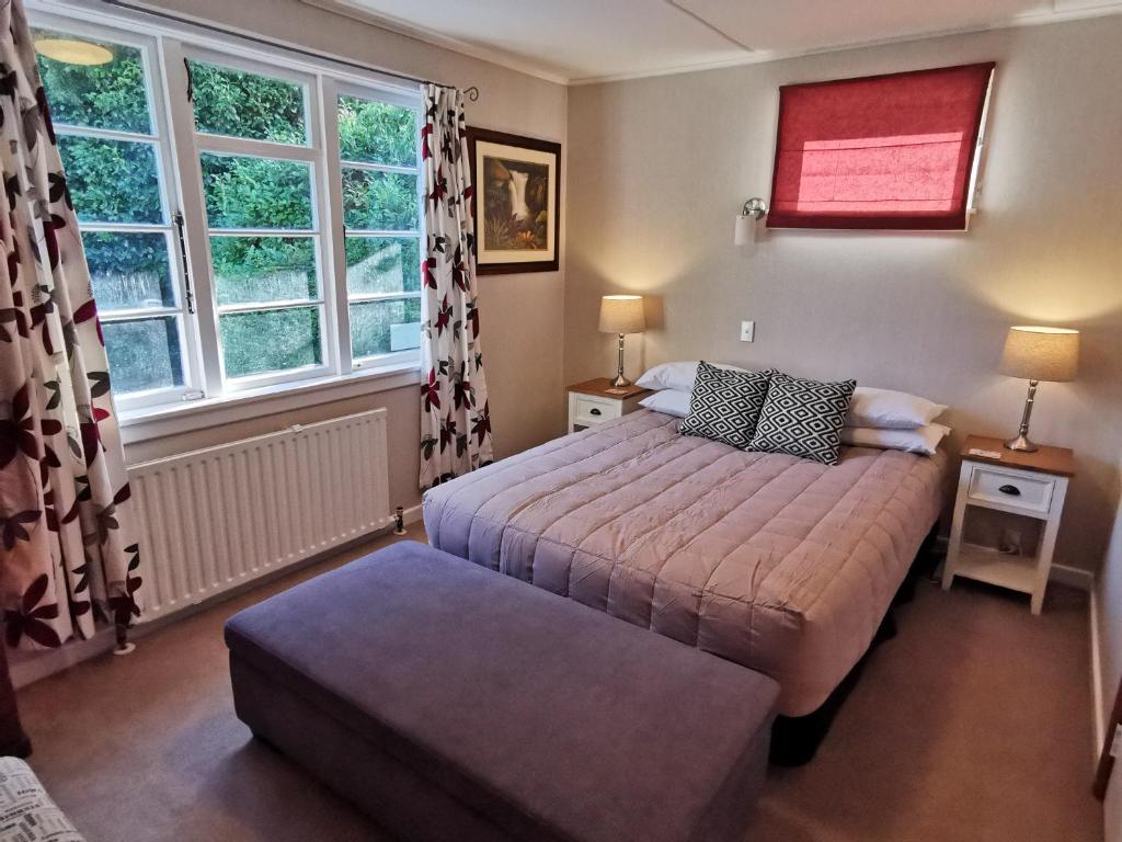
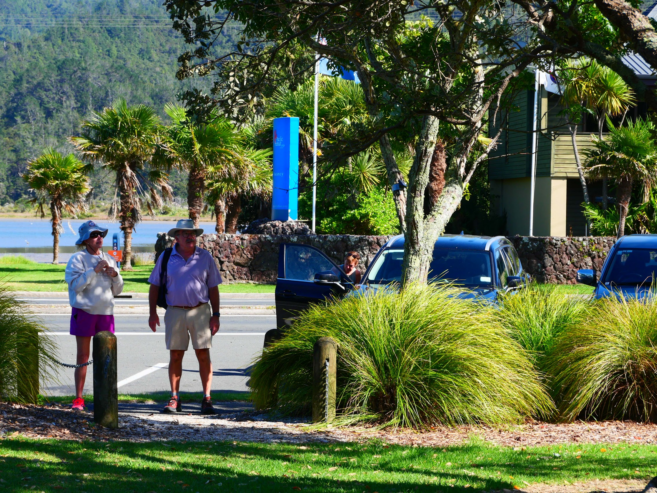
We picked up our rental car (another big SUV) and made the relatively short drive from the airport to our stay in Mount Victoria, a residential neighborhood on a slope just east of the city center. We arrived around 9:00 PM and did little more than unpack our toiletries and PJs before going to bed. Our stay was a nice little Victorian house with matching master bedroom suites but, as is usually the case with one-night stays, we were really just passing through and didn’t get the chance to enjoy it much other than sleeping and actually didn’t get a good look at the place until the next morning as we were leaving.
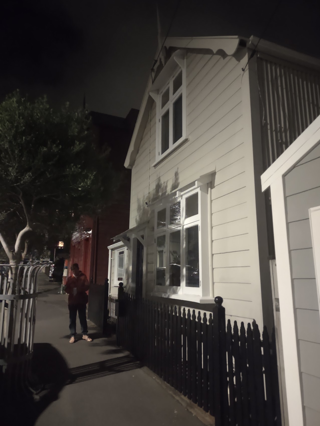
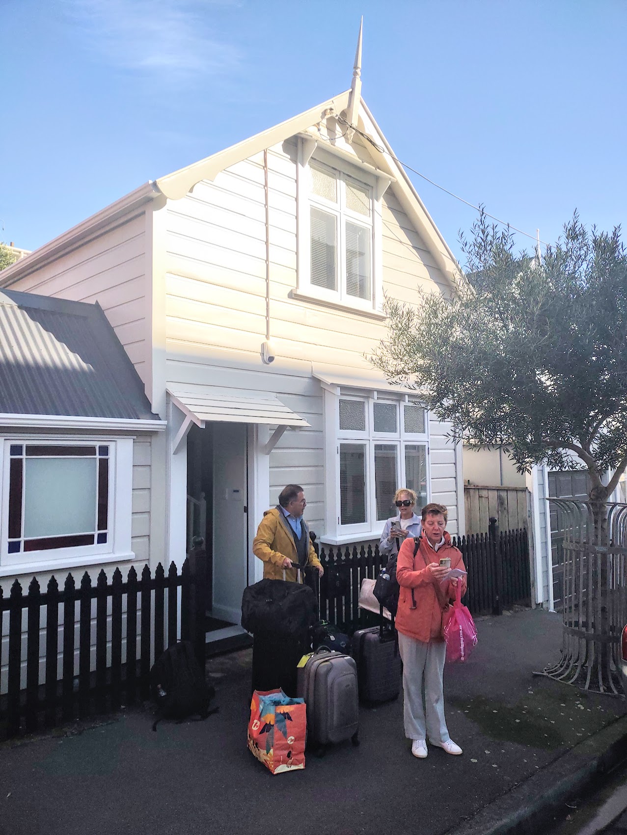
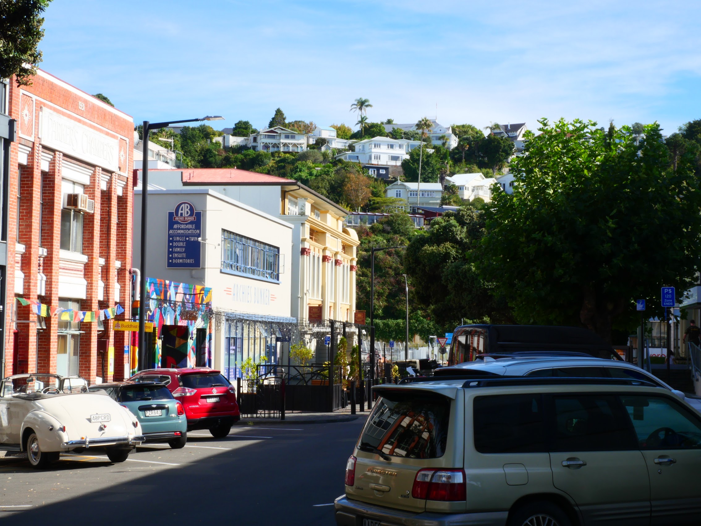
We were out fairly early as we did want to see a bit of Wellington before getting on the road again. Our host advised us that it was OK to leave our car in the spot we had parked in the night before and so, unburdened by luggage, we walked down the hill through Mount Victoria, Wellington’s oldest residential neighborhood which is full of beautiful old Victorian and Edwardian wooden houses with a little Art Deco and some modern ones thrown in for good measure.
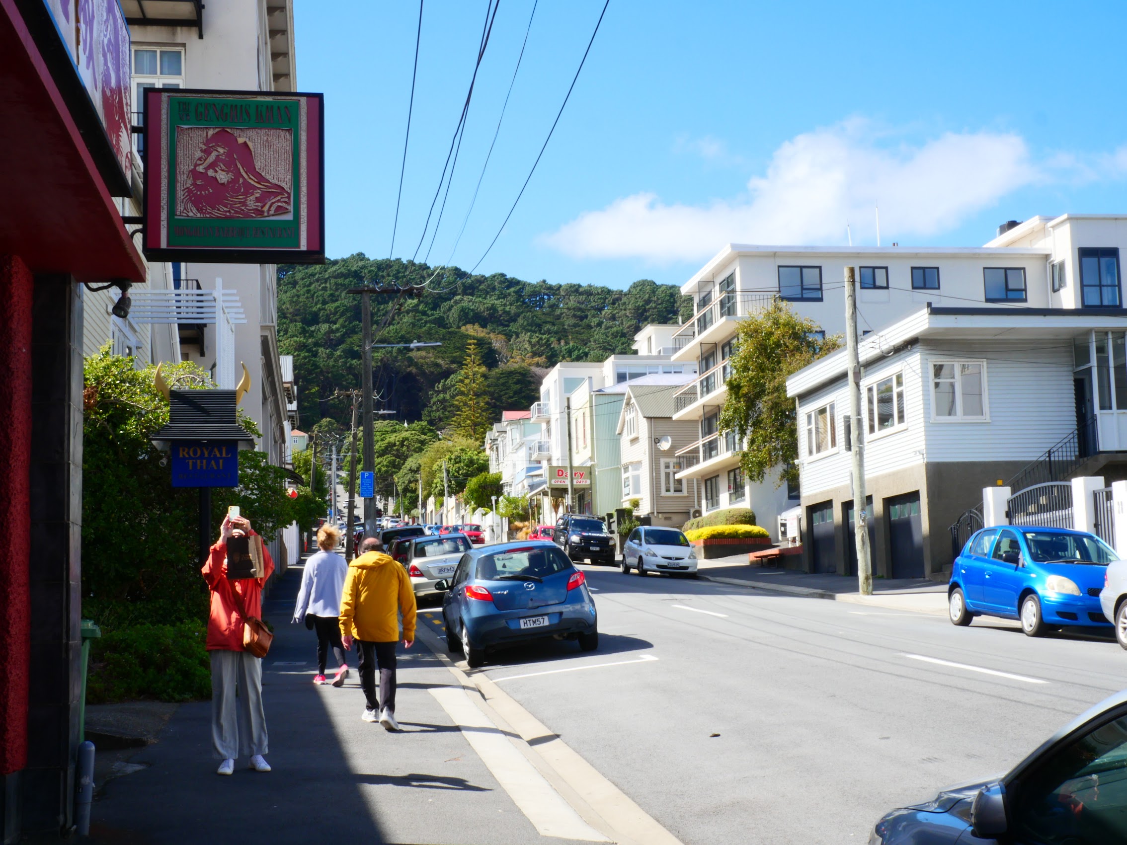
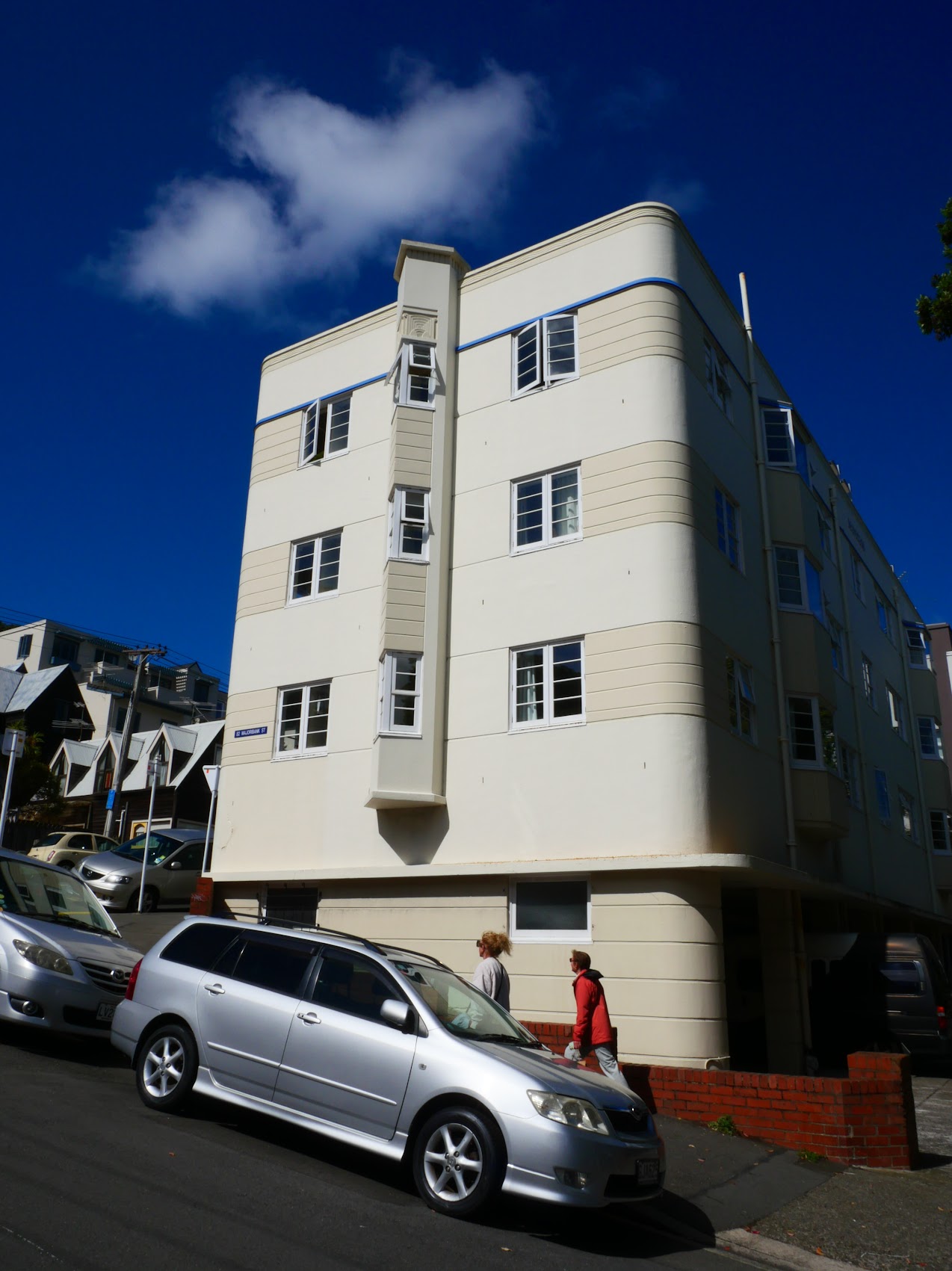

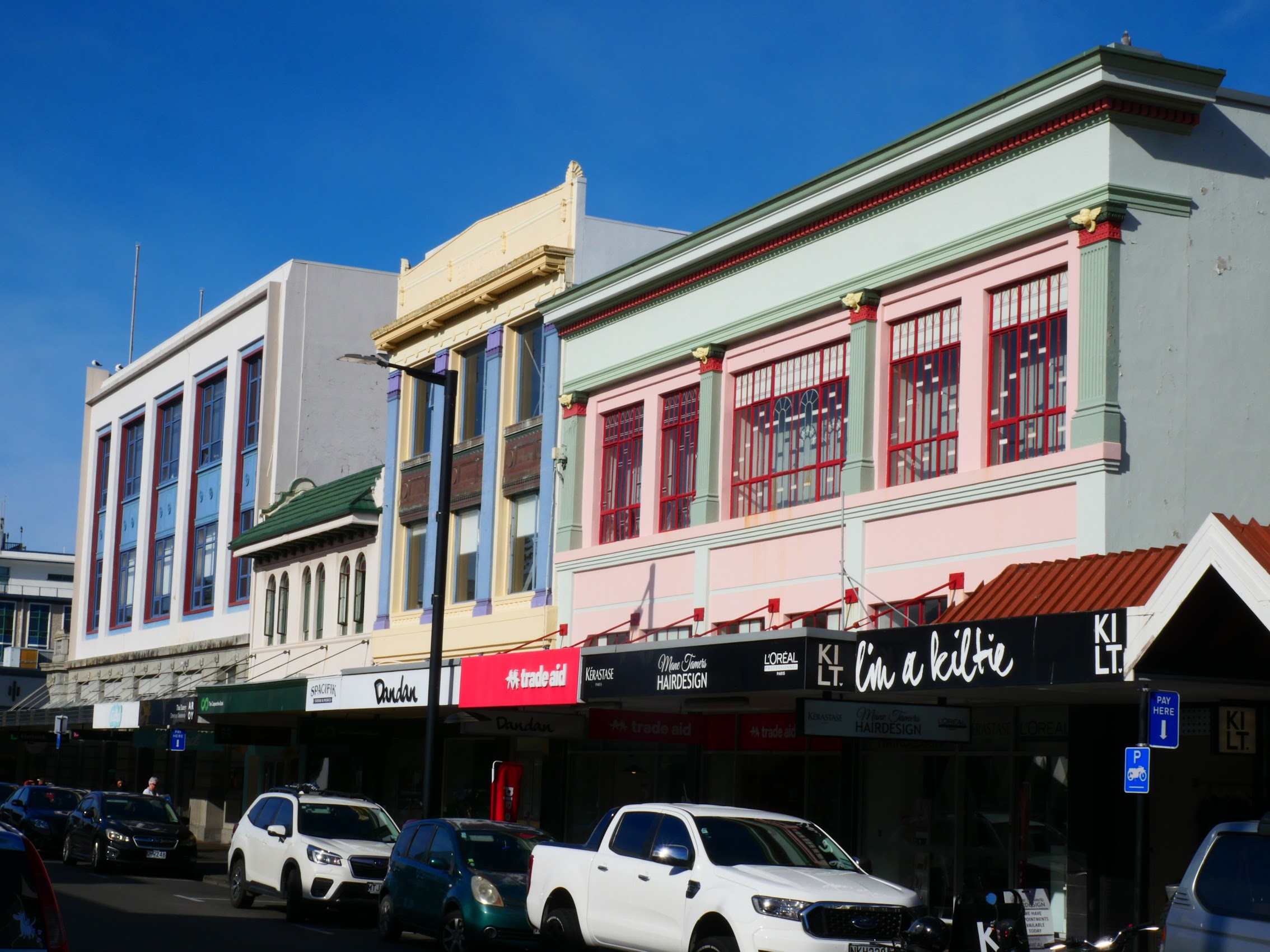
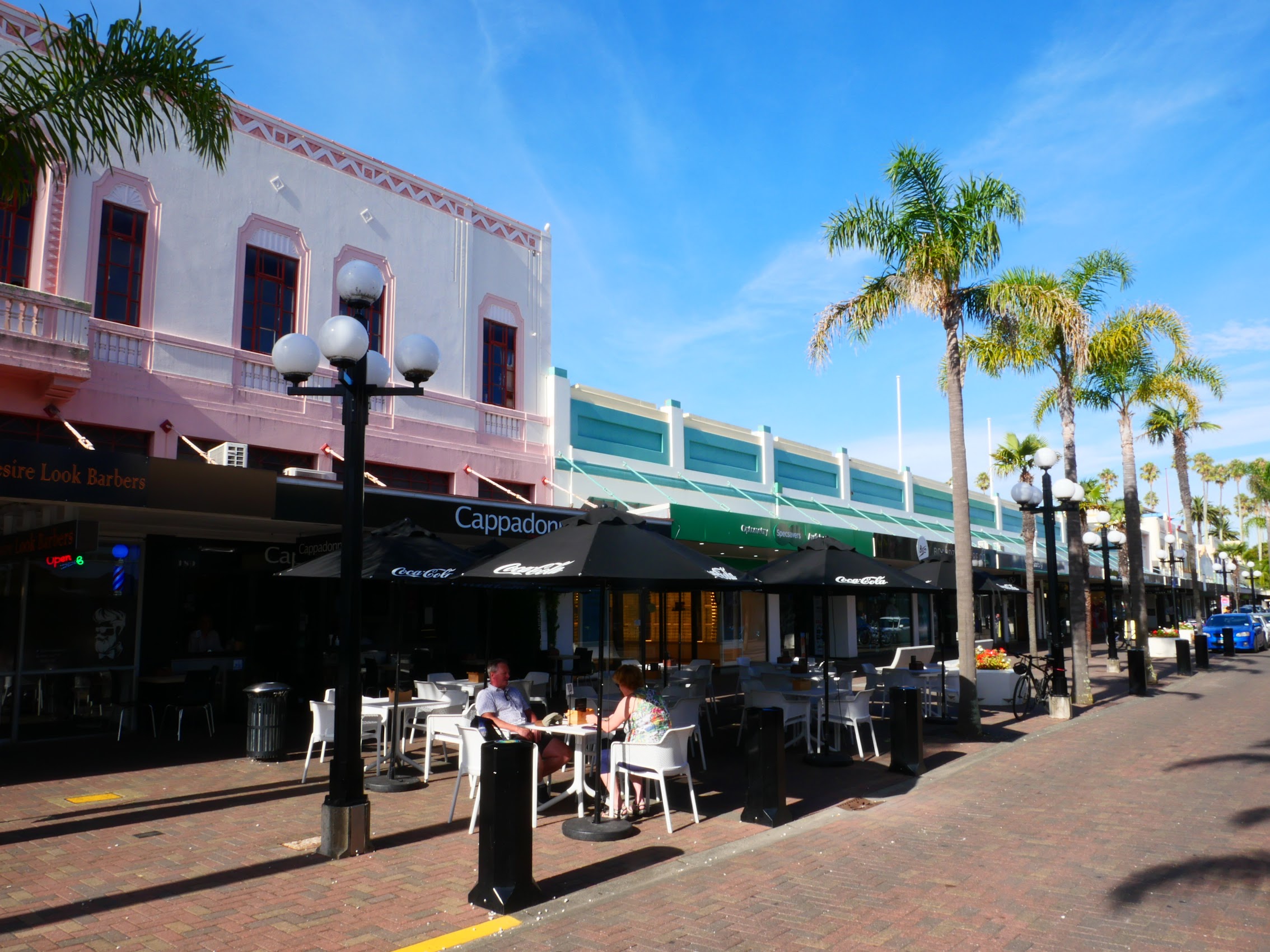
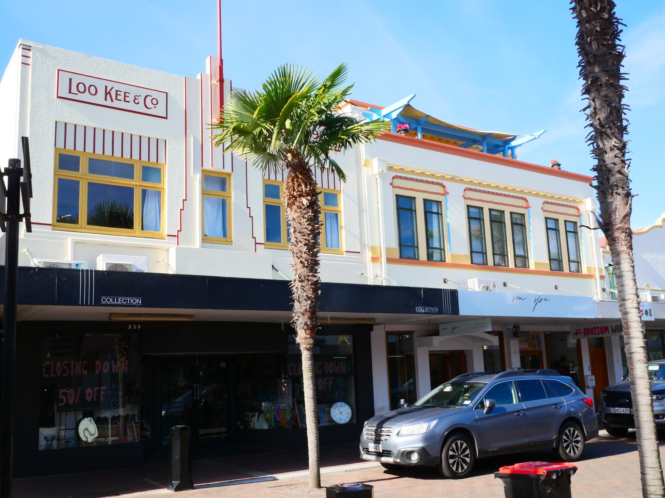
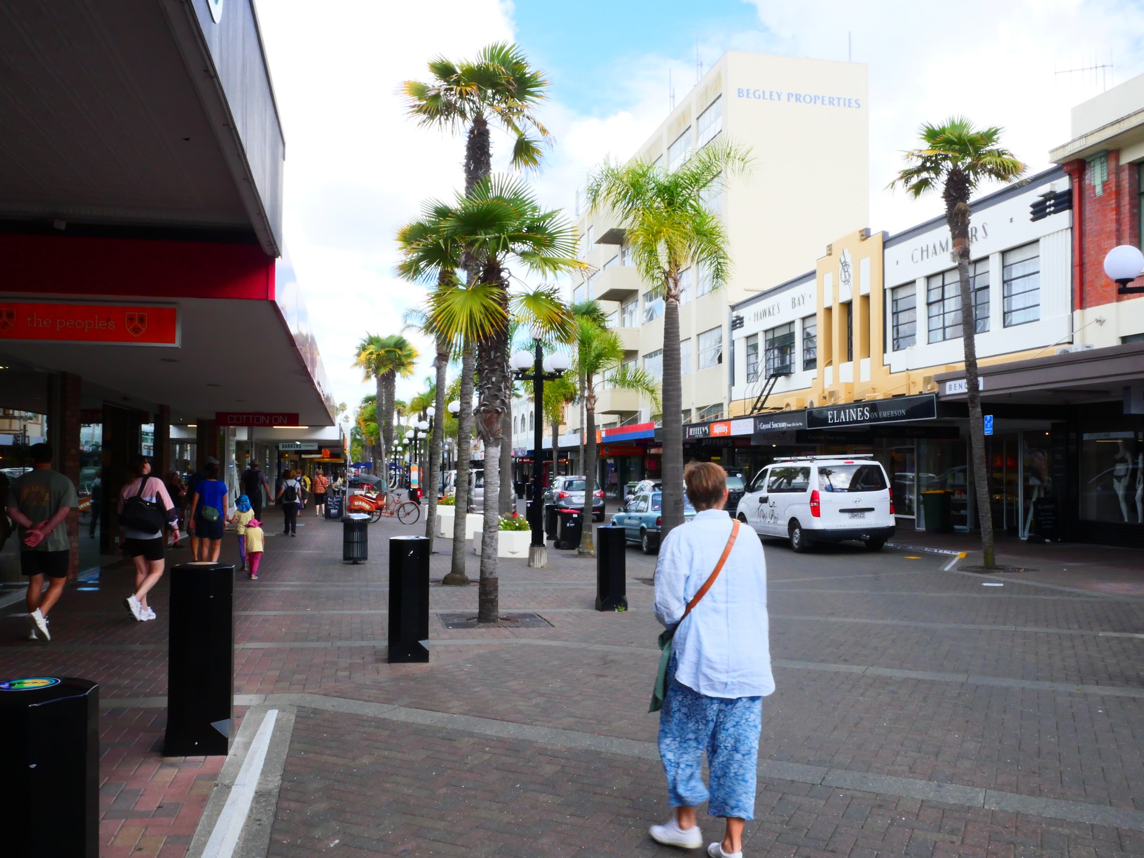
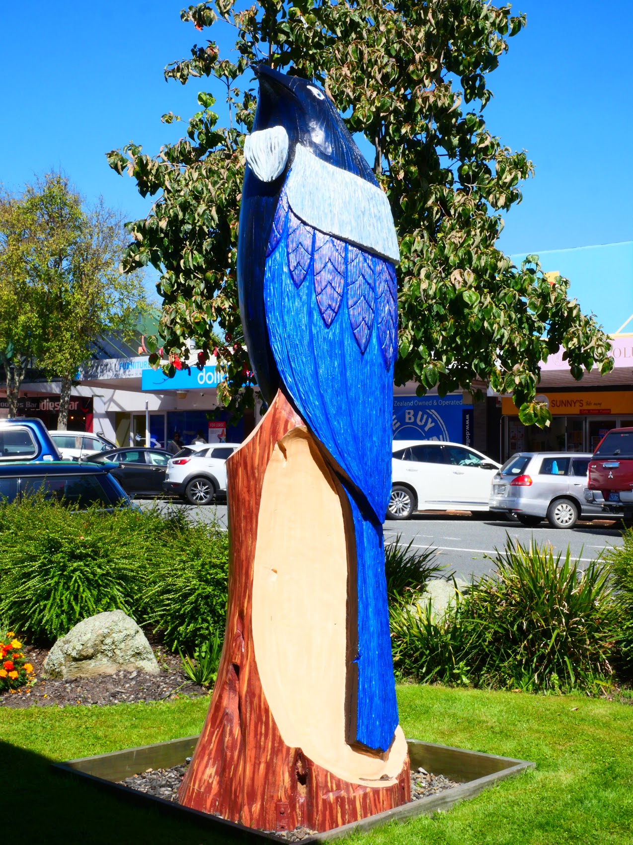
Beyond our Mount Victoria neighborhood, we found an interesting mix of older nineteenth-century and twentieth century art deco buildings along with some nice newer ones. The scale of this area was low – mostly two- and three-story buildings and very much had the feel of some of the cool little towns we had visited on the South Islands with wide sidewalks, interesting paving, street furniture, and sculptures.
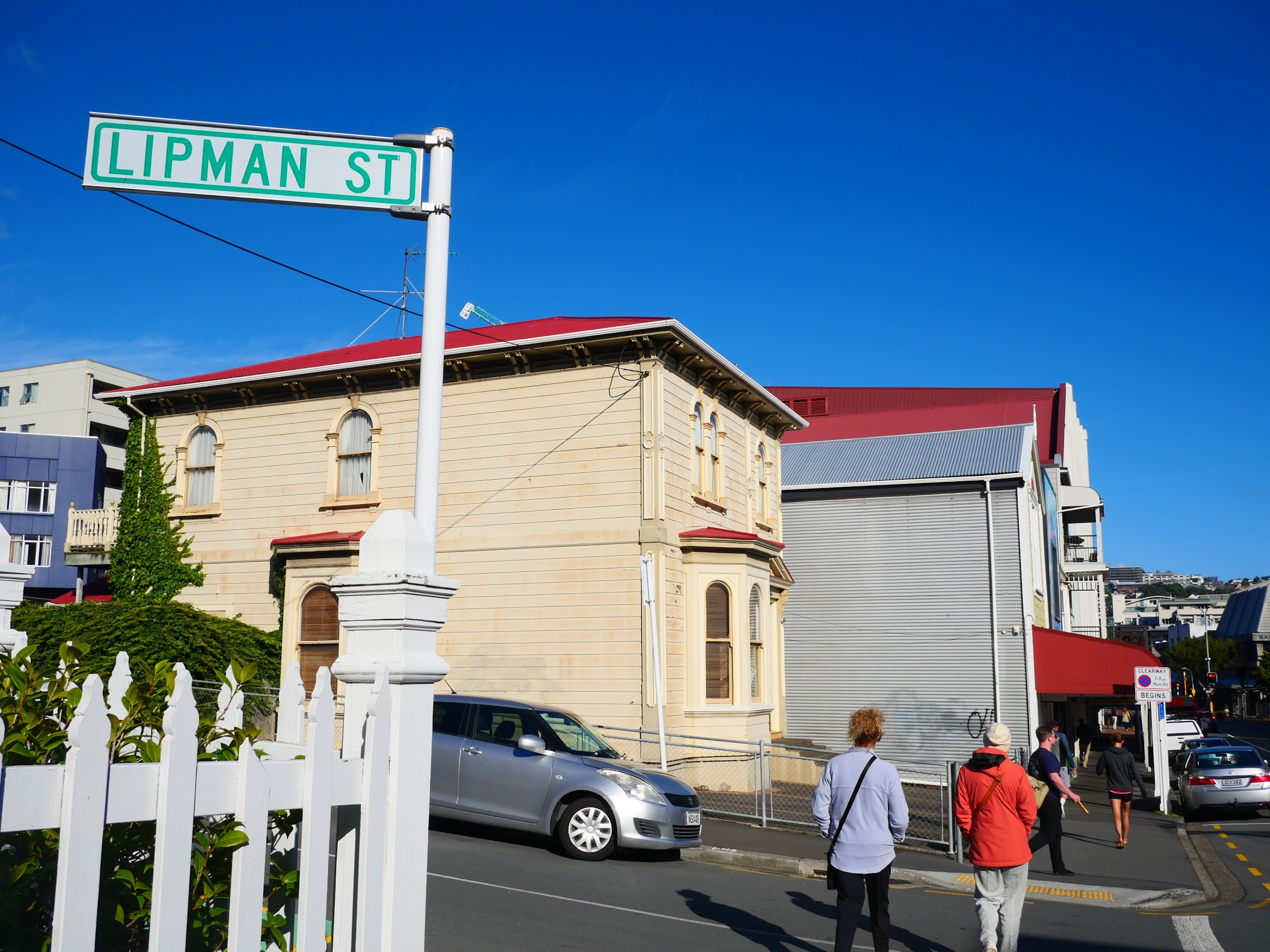
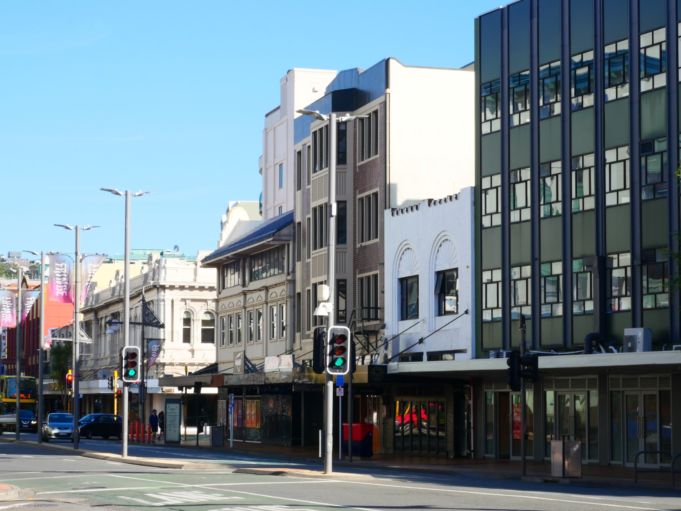
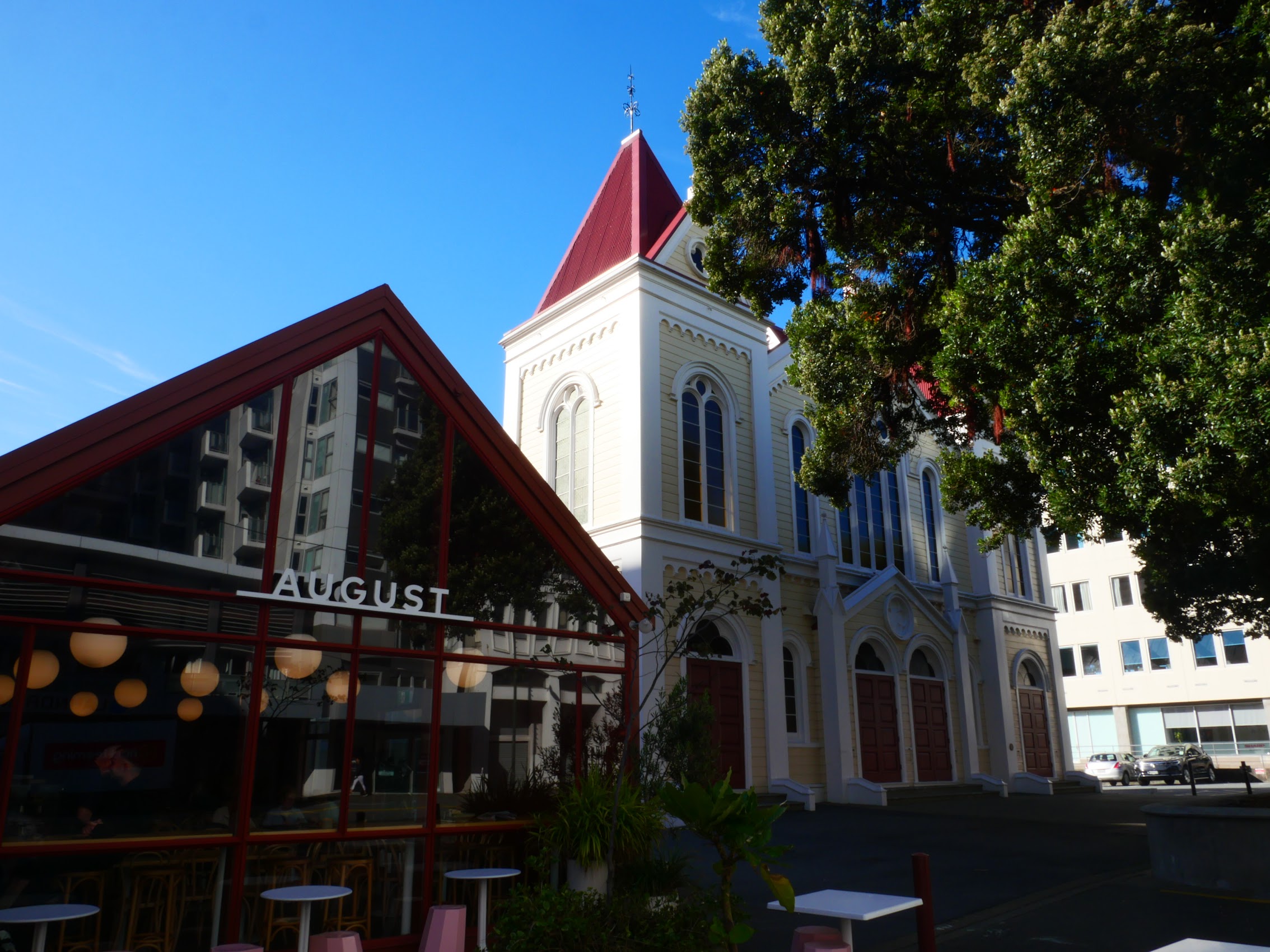
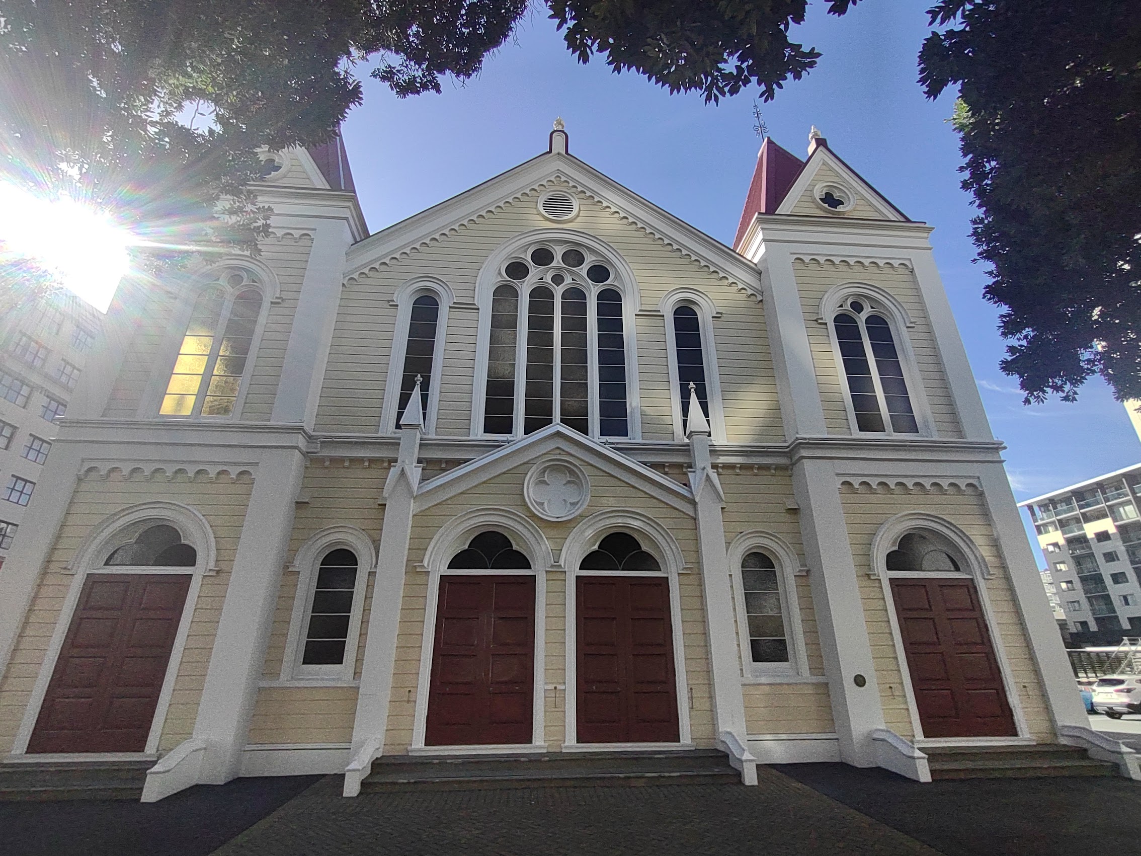
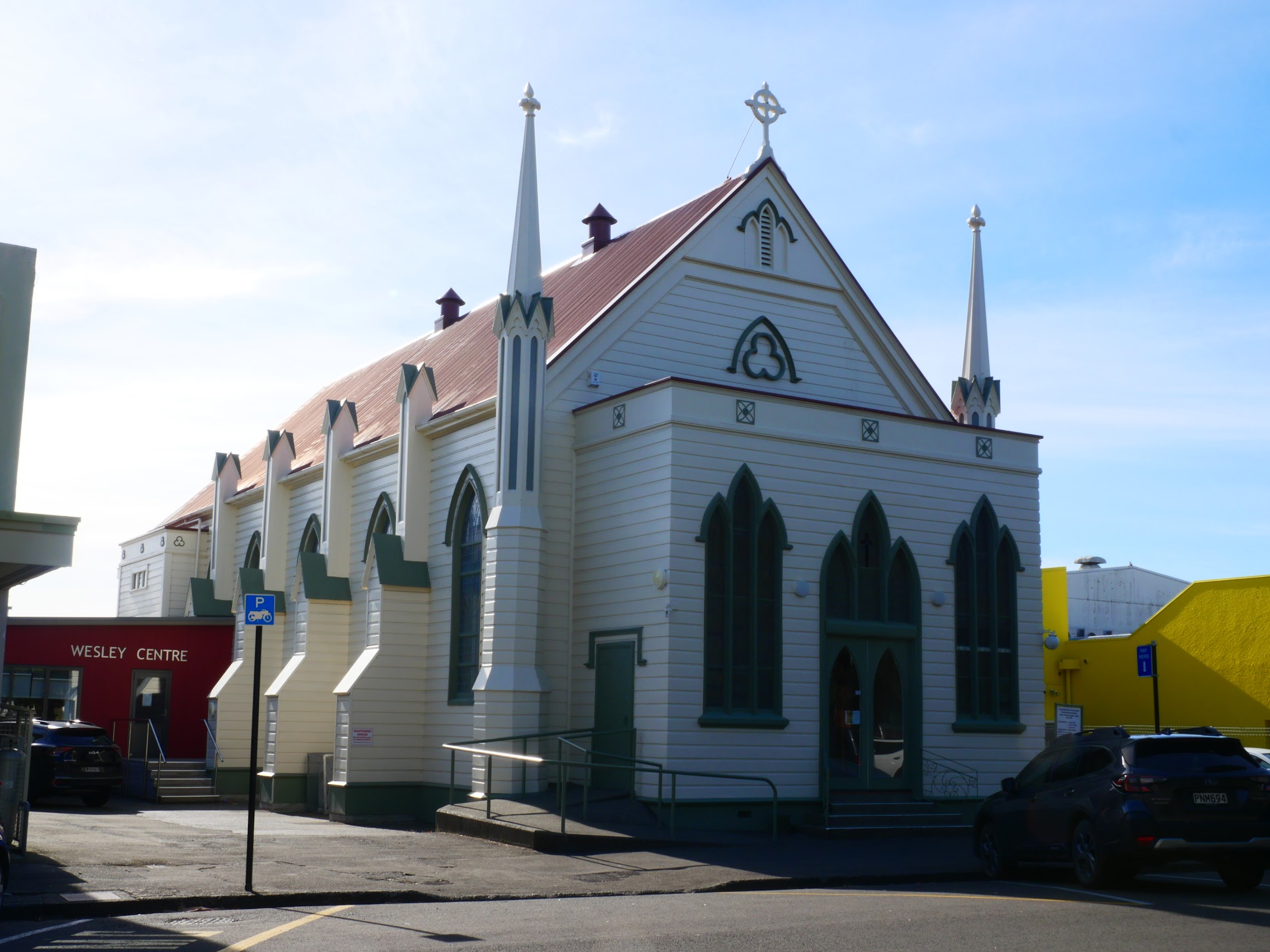
Looking for a place to have some breakfast, we turned south away from the waterfront. After a bit of wandering, we stopped at the August Eatery located next to the beautiful historic Wesley Methodist Church. This part of the town center had more mid-rise buildings which were, again, a mix of old and new.

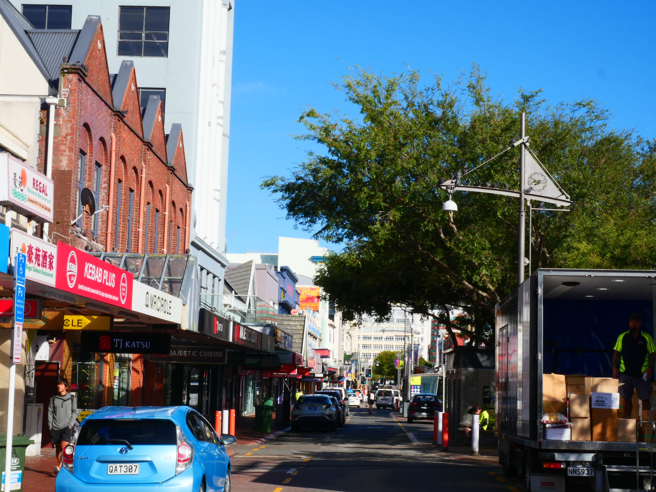
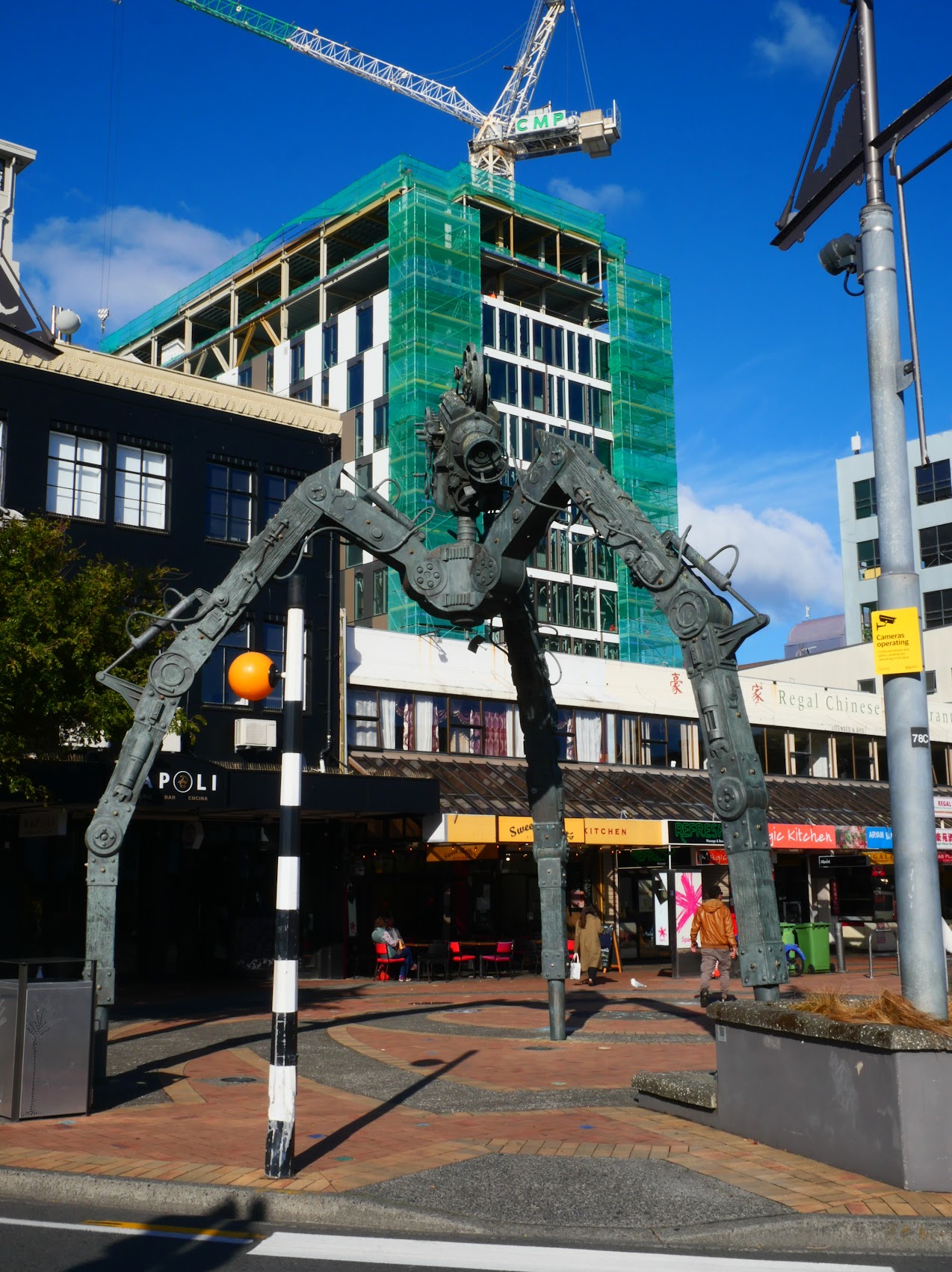
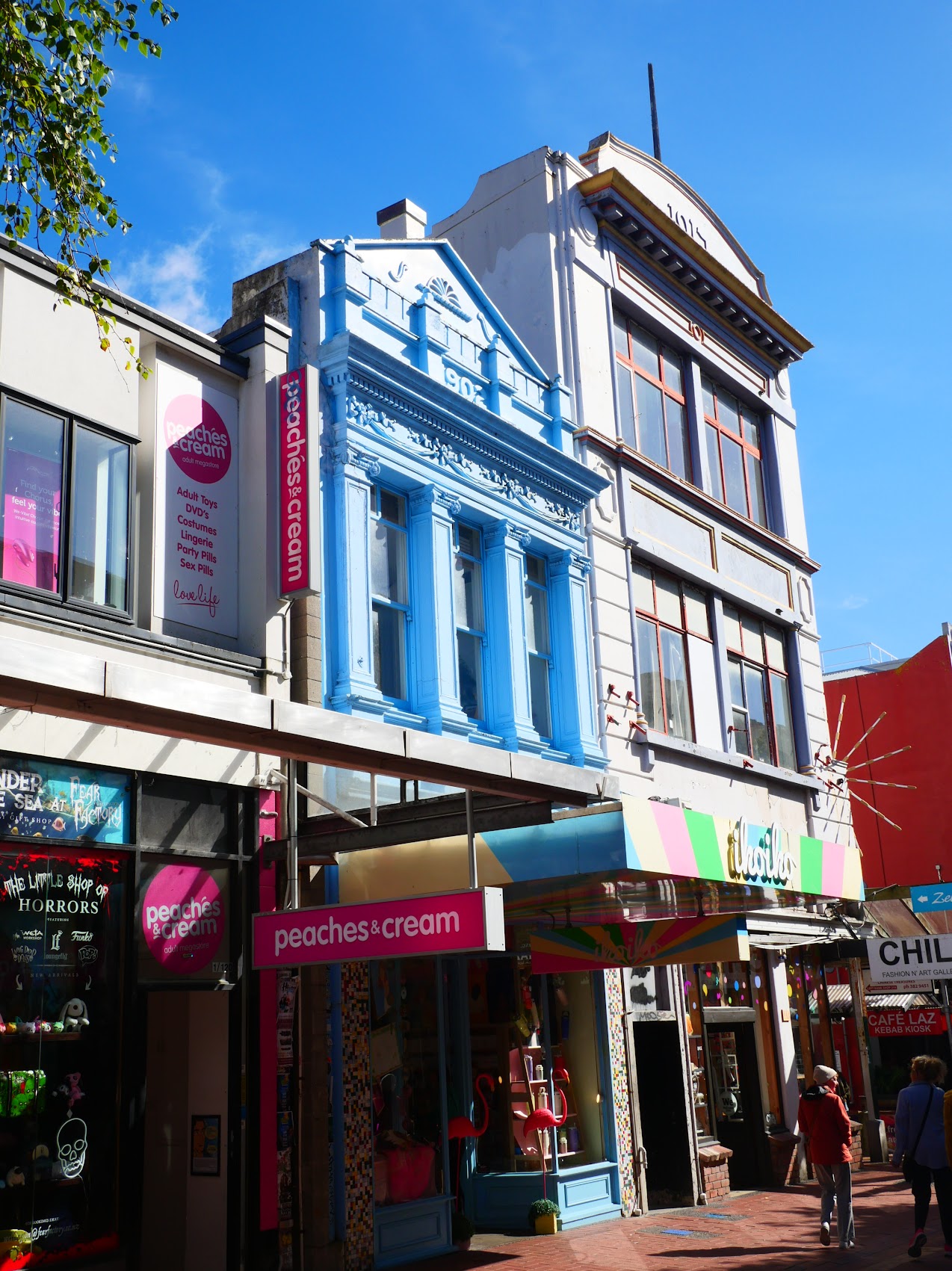
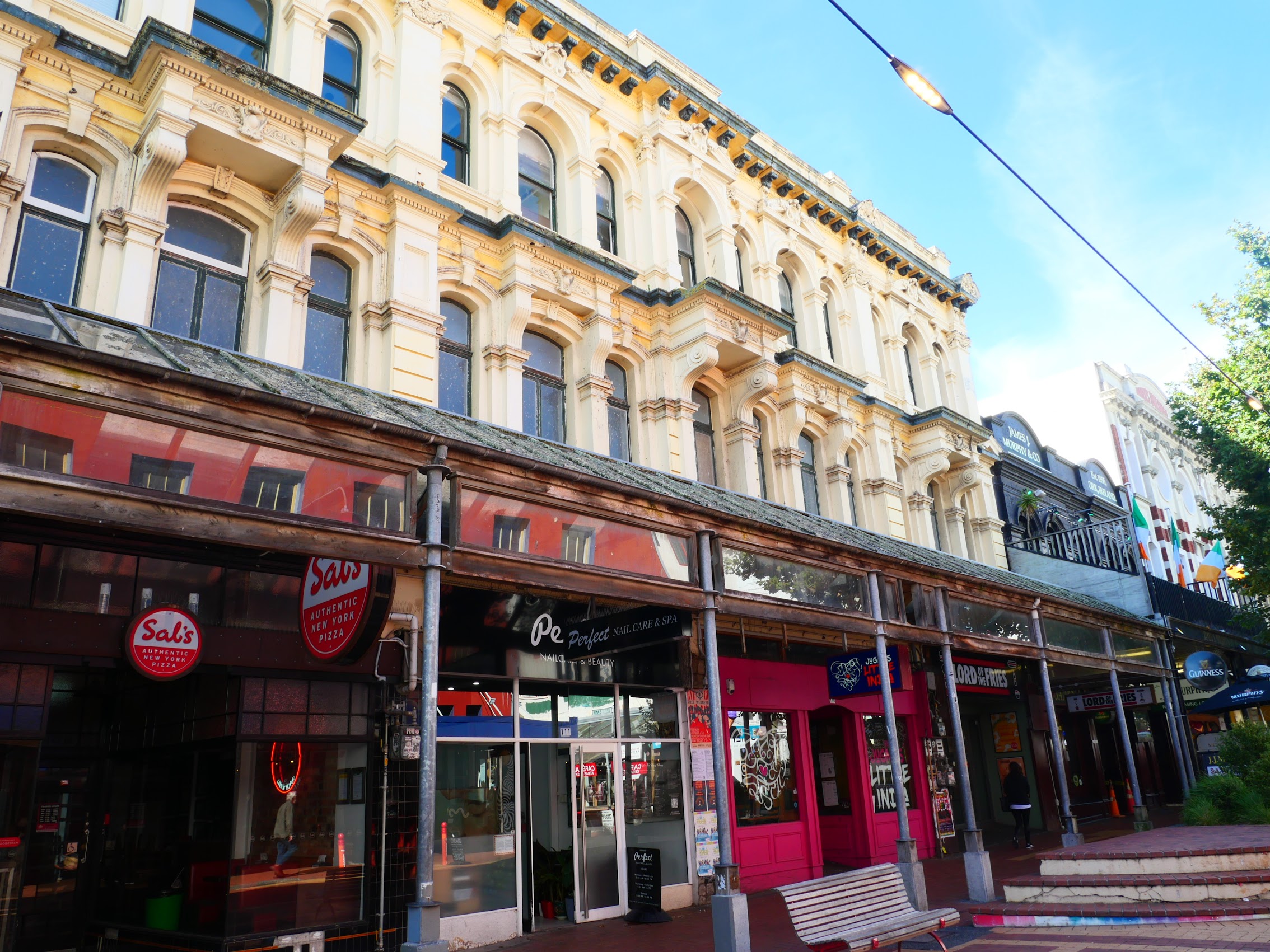
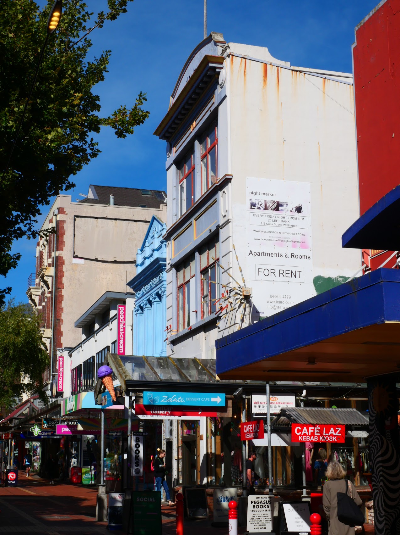
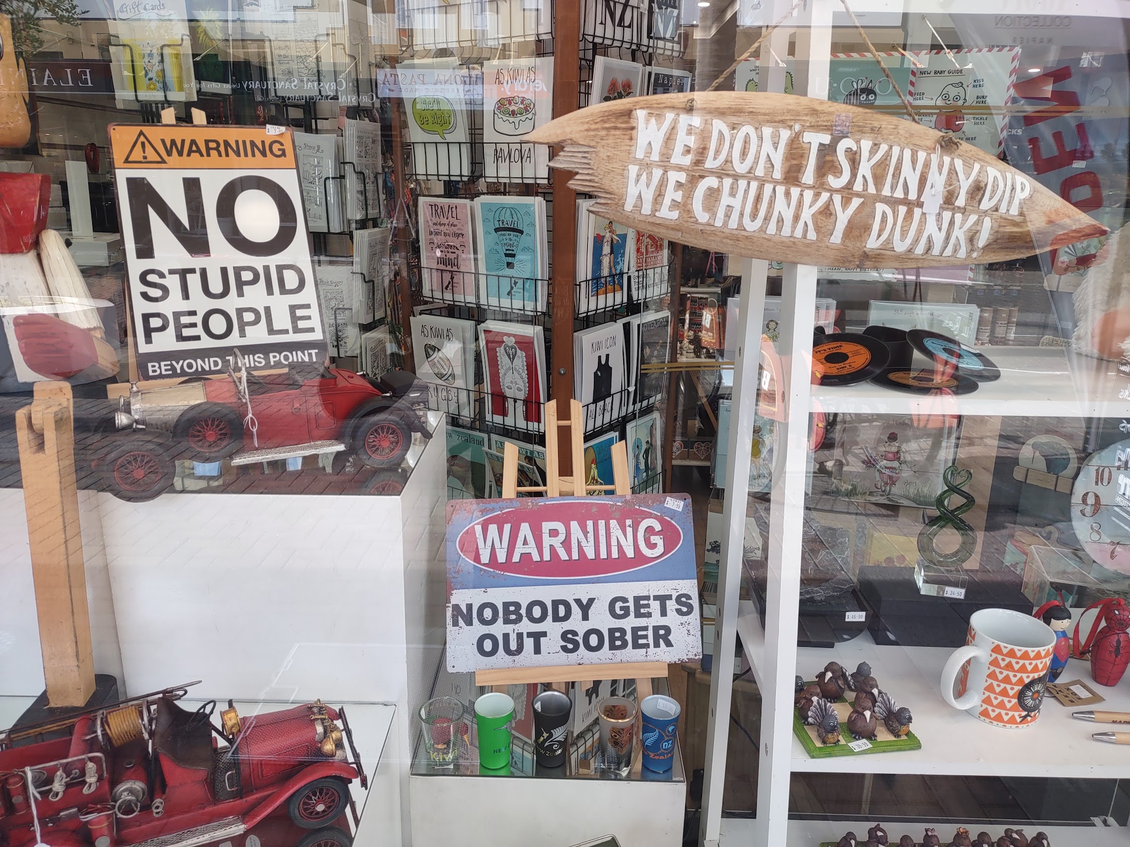
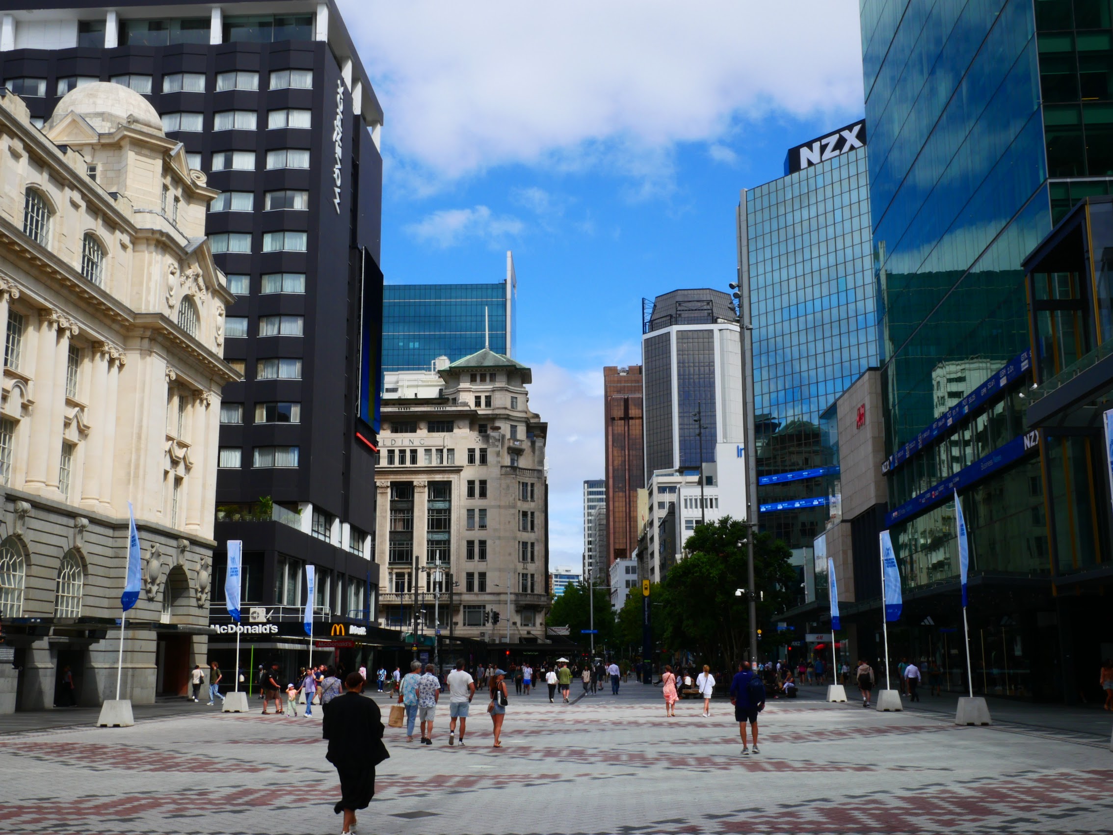
From there we proceeded to Cuba Street, Wellington’s de facto Arts district, known for its bohemian nature, scores of cafés, restaurants, music venues, record shops, book stores, heritage architecture of various styles, and a general “quirkiness” that has made it one of the city’s most popular tourist destinations. At this hour and day (10:30 AM on a Wednesday), there were not many other people about, but most of the shops were open and we took our time, taking it all in, as we gradually made our way down to the Wellington waterfront.

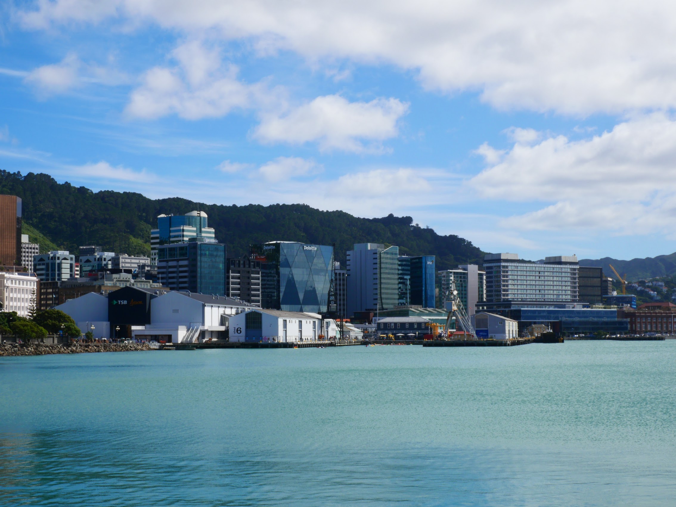
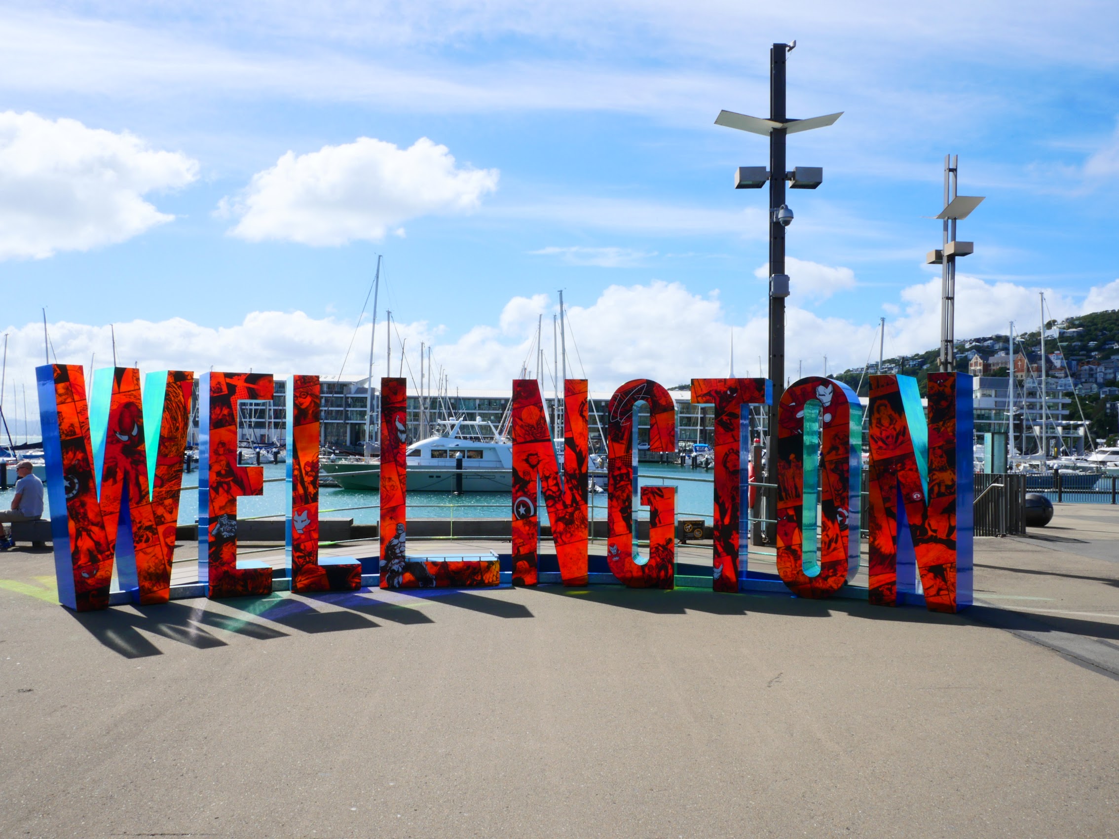
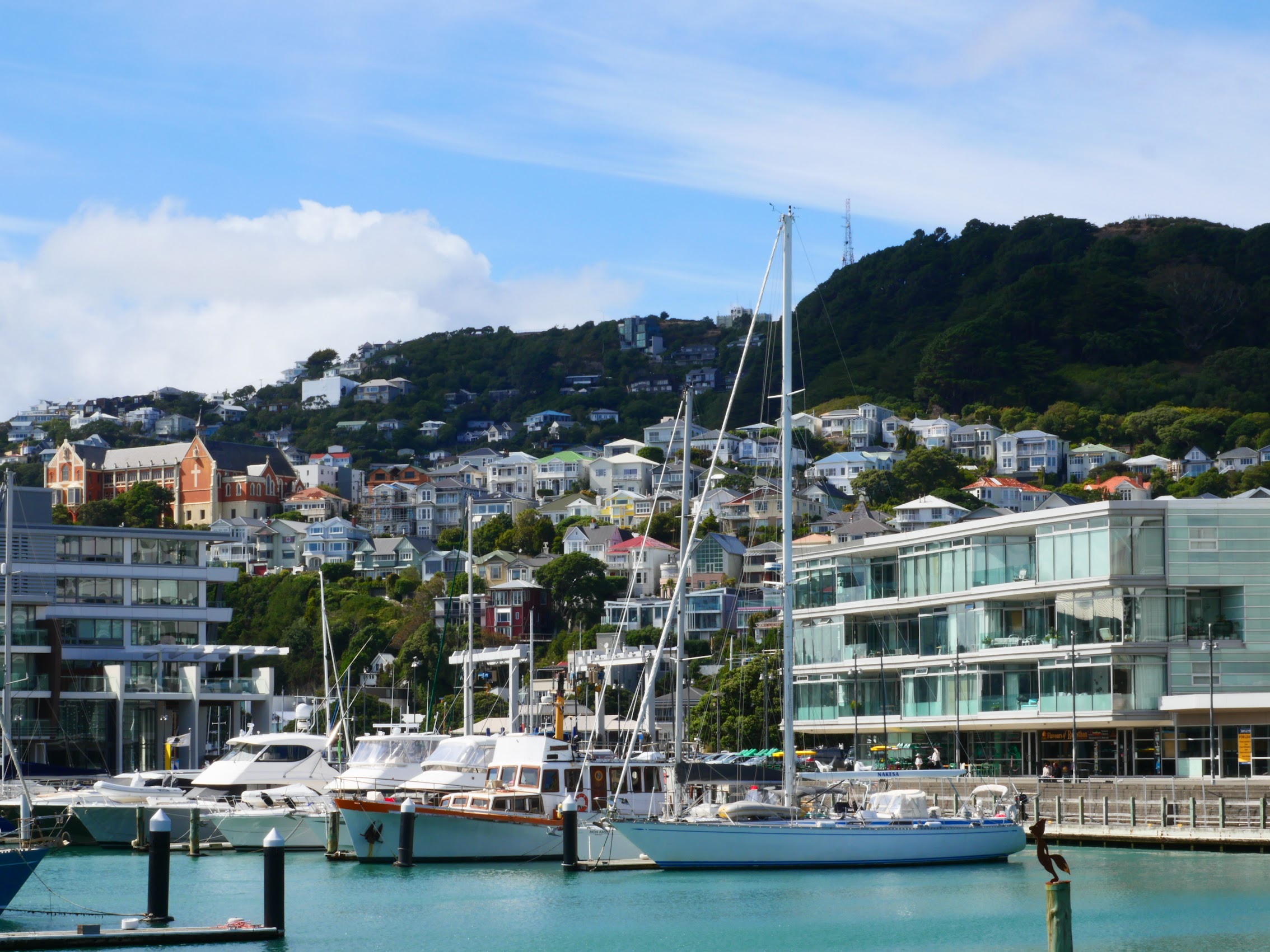
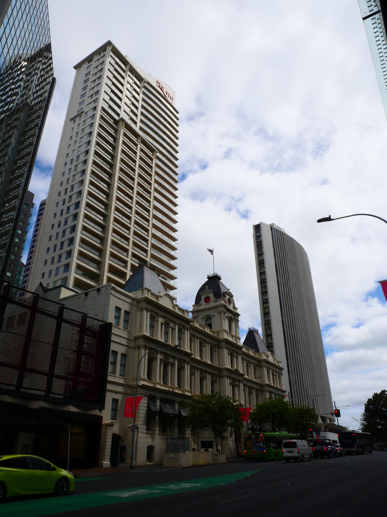
From the waterfront, there were fantastic views of the city fringing Wellington Harbor including views of Wellington Central, the city’s business center with its newer office towers to the north, the ferry terminal and port facilities beyond, and the Clyde Quay wharf and marina to the east with Mount Victoria looming behind.
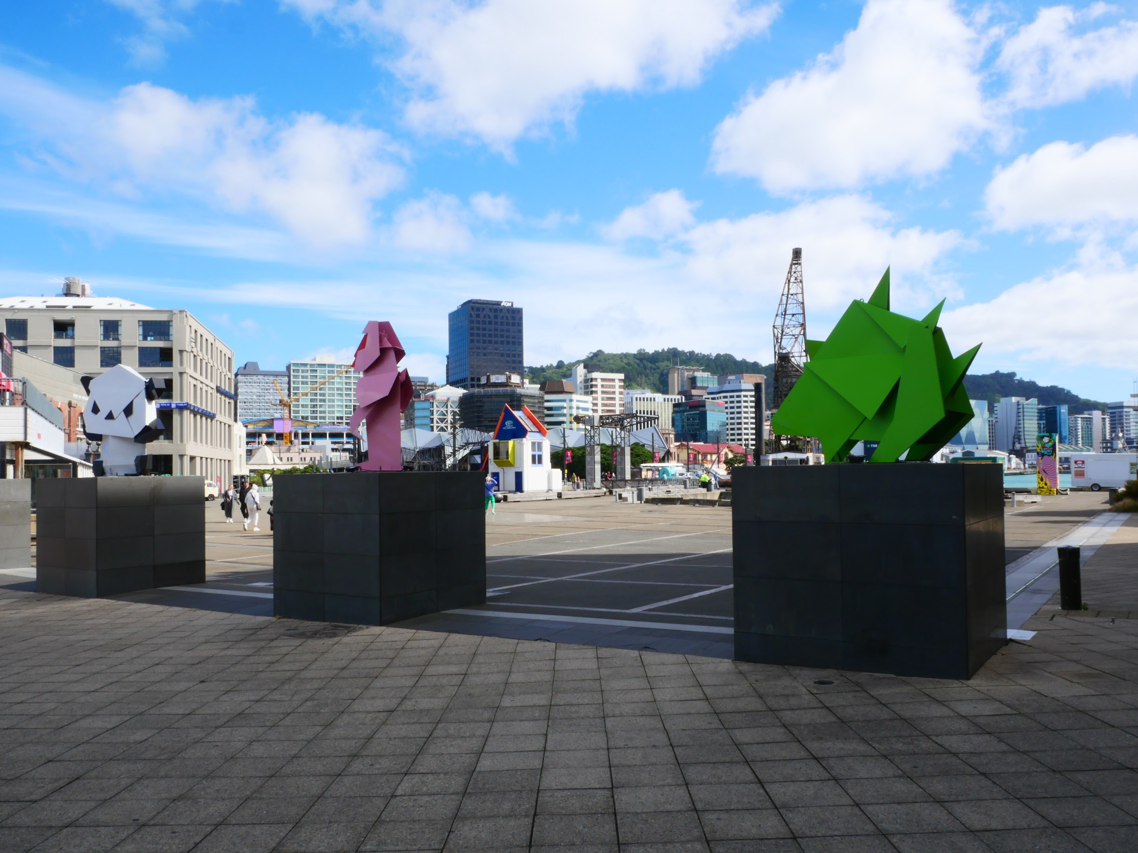
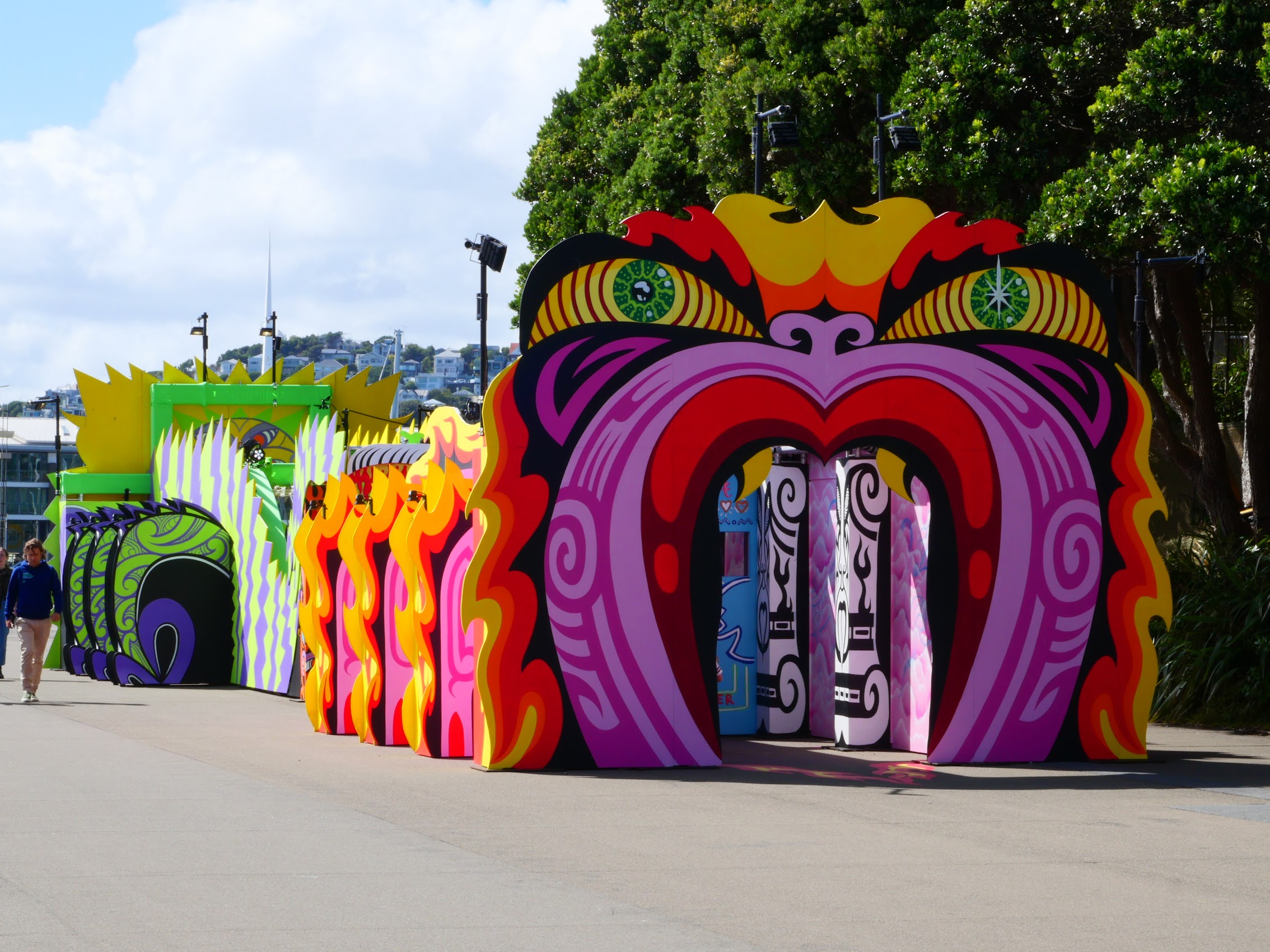
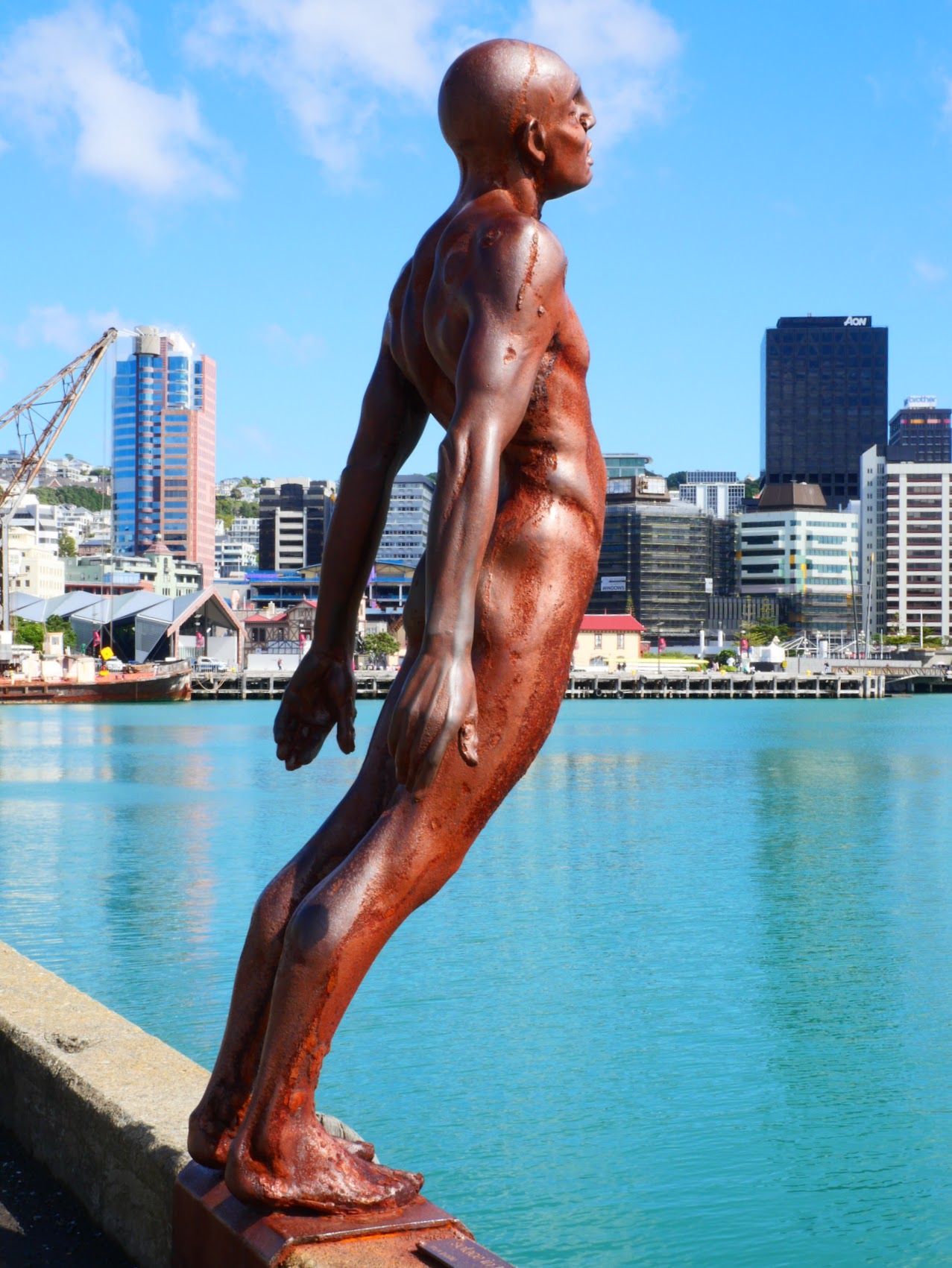
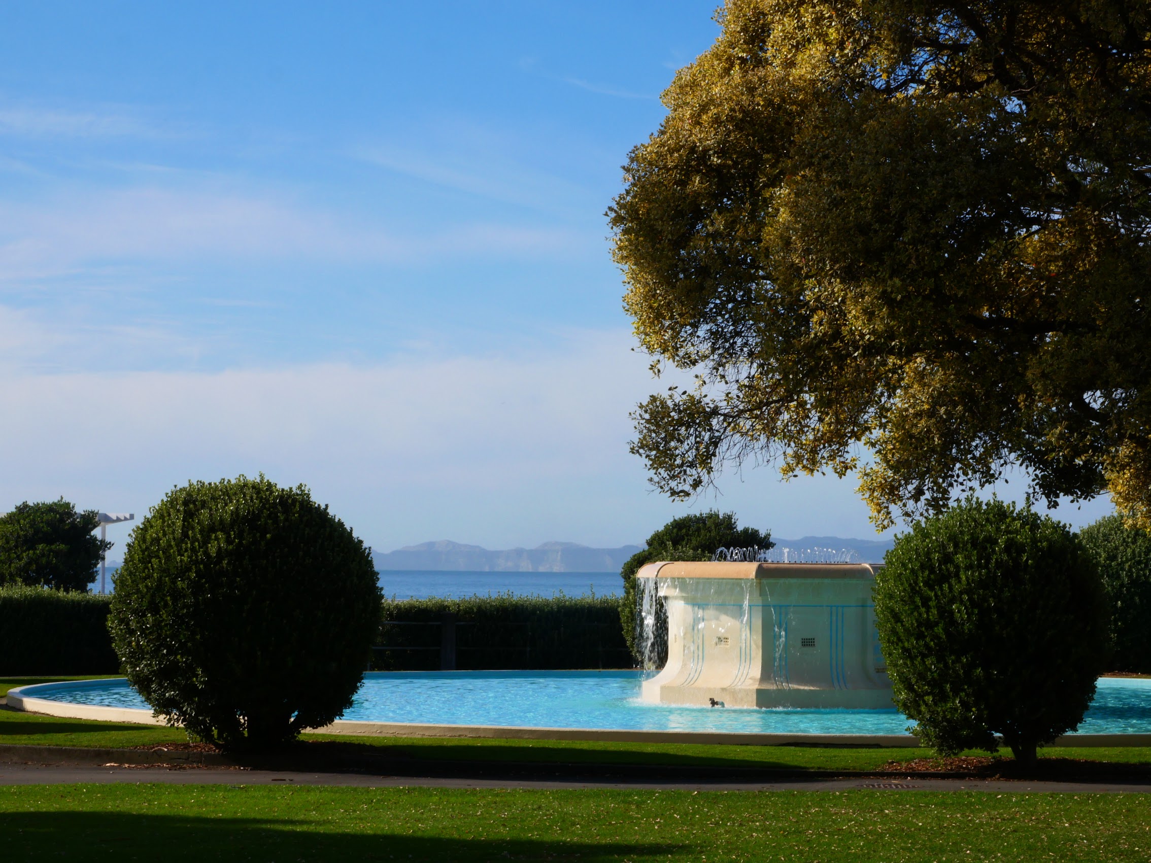
There was a pedestrian promenade of sorts which meandered along the waterfront past various viewpoints, sculptures, statues, a funhouse for kids, and other attractions before finally depositing us at the Museum of New Zealand Te Papa Tongarewa which is, honestly, a bit of a Modernist monstrosity (looks like too many chefs or perhaps too many ingredients!). While didn’t have time to take in the museum in its entirety, we did visit the Museum gift shop which was itself enormous and full of many interesting handcrafted souvenir items.


A Hobbit’s Hike
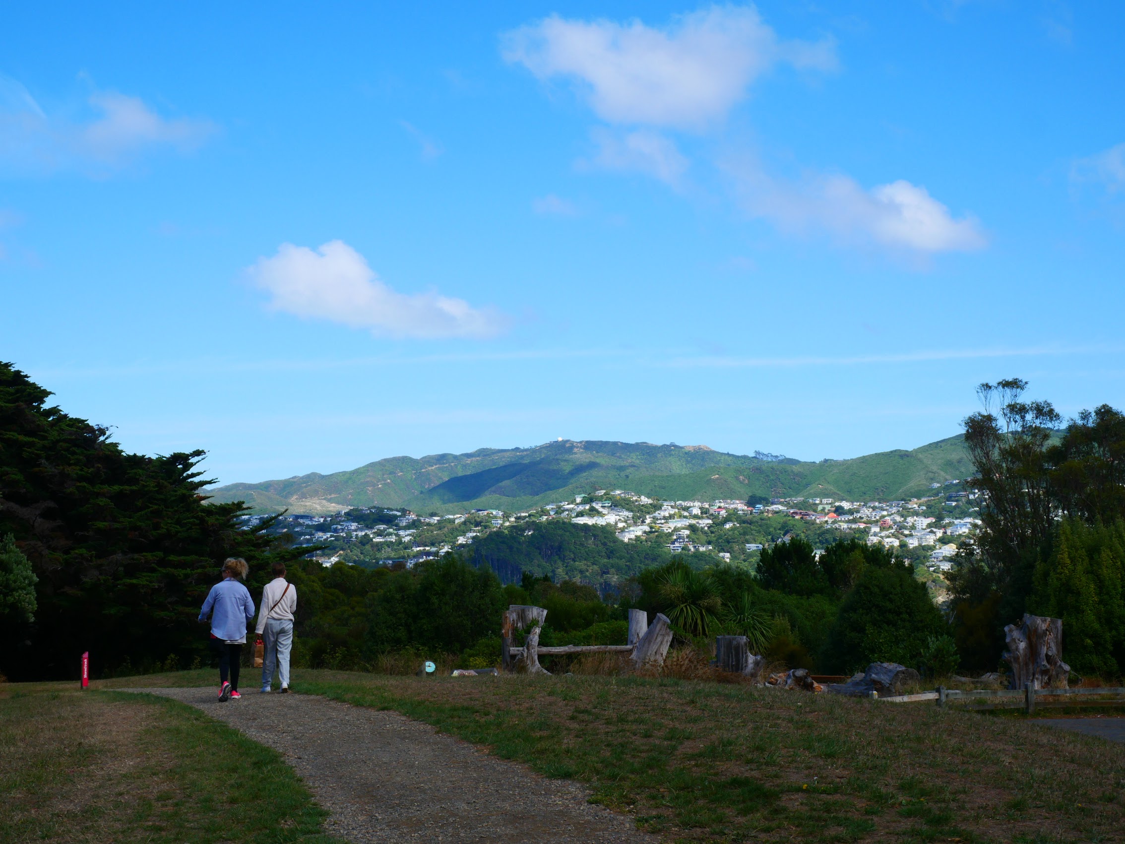
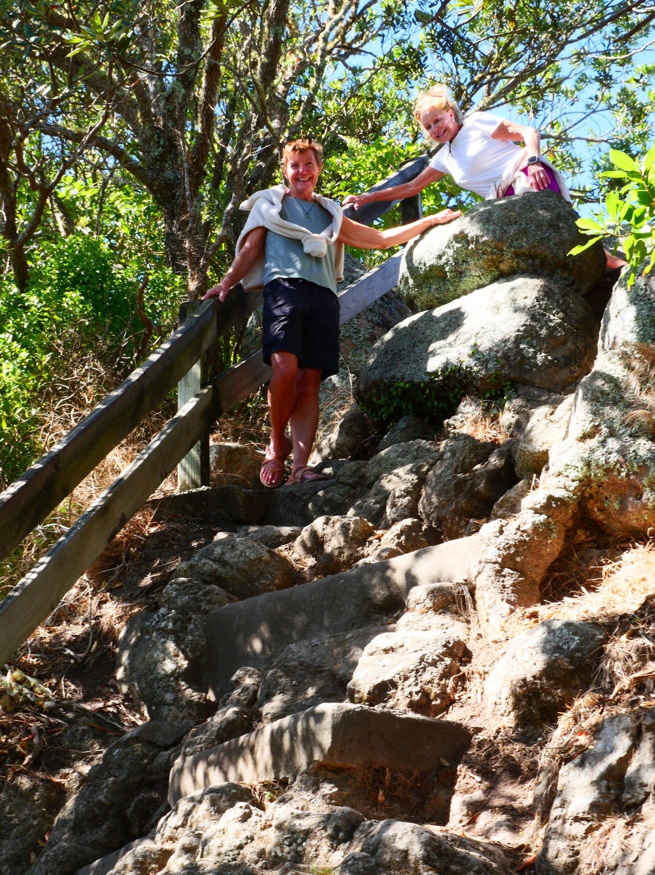
As we left the Museum, Colleen advised us that she had a very special walk planned to complete our visit to Wellington and so we let her take the lead. We backtracked past our place in the Mount Victoria neighborhood and continued up the wooded hillside. As we made our way along paths which twisted back and forth along the steep slope, our guide pointed out various spots where scenes from The Lord of the Rings movie were filmed including one spot called “Frodo’s Reading Tree” and another where the Hobbits hid from the Black Riders. (Sorry non-LOTR fans)
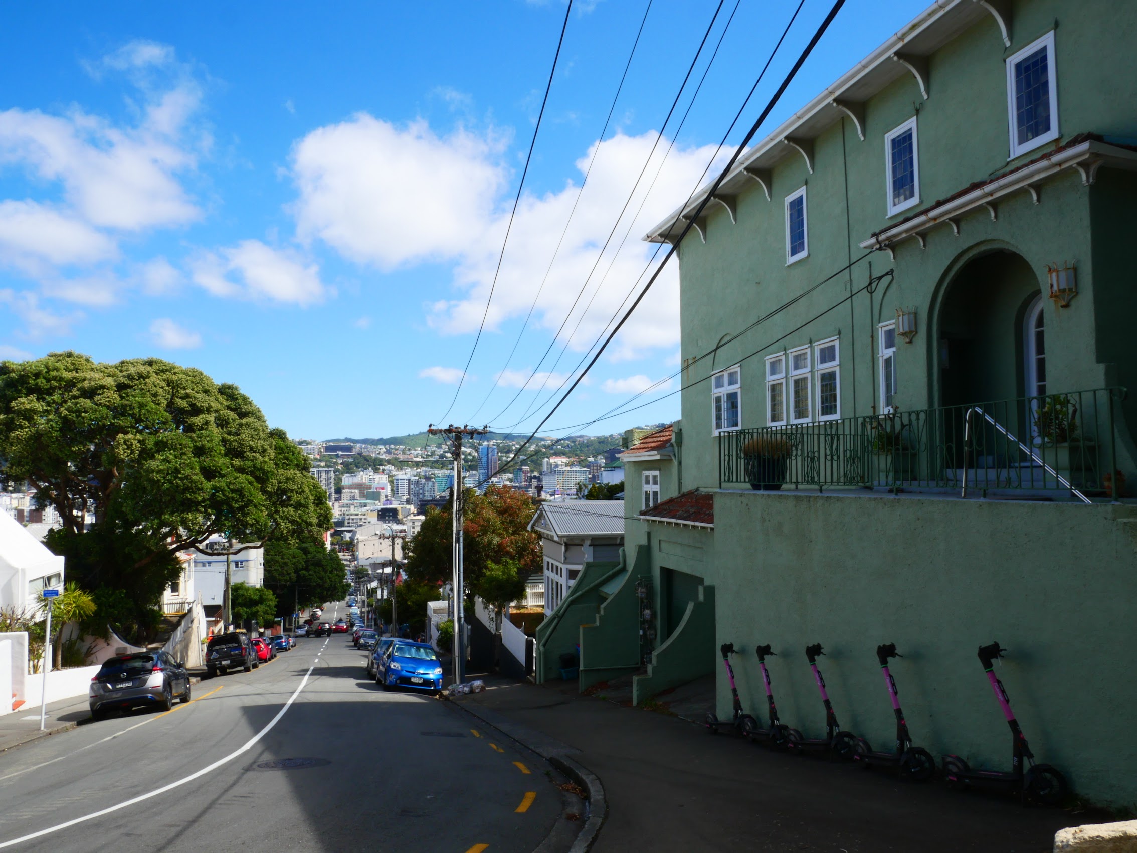
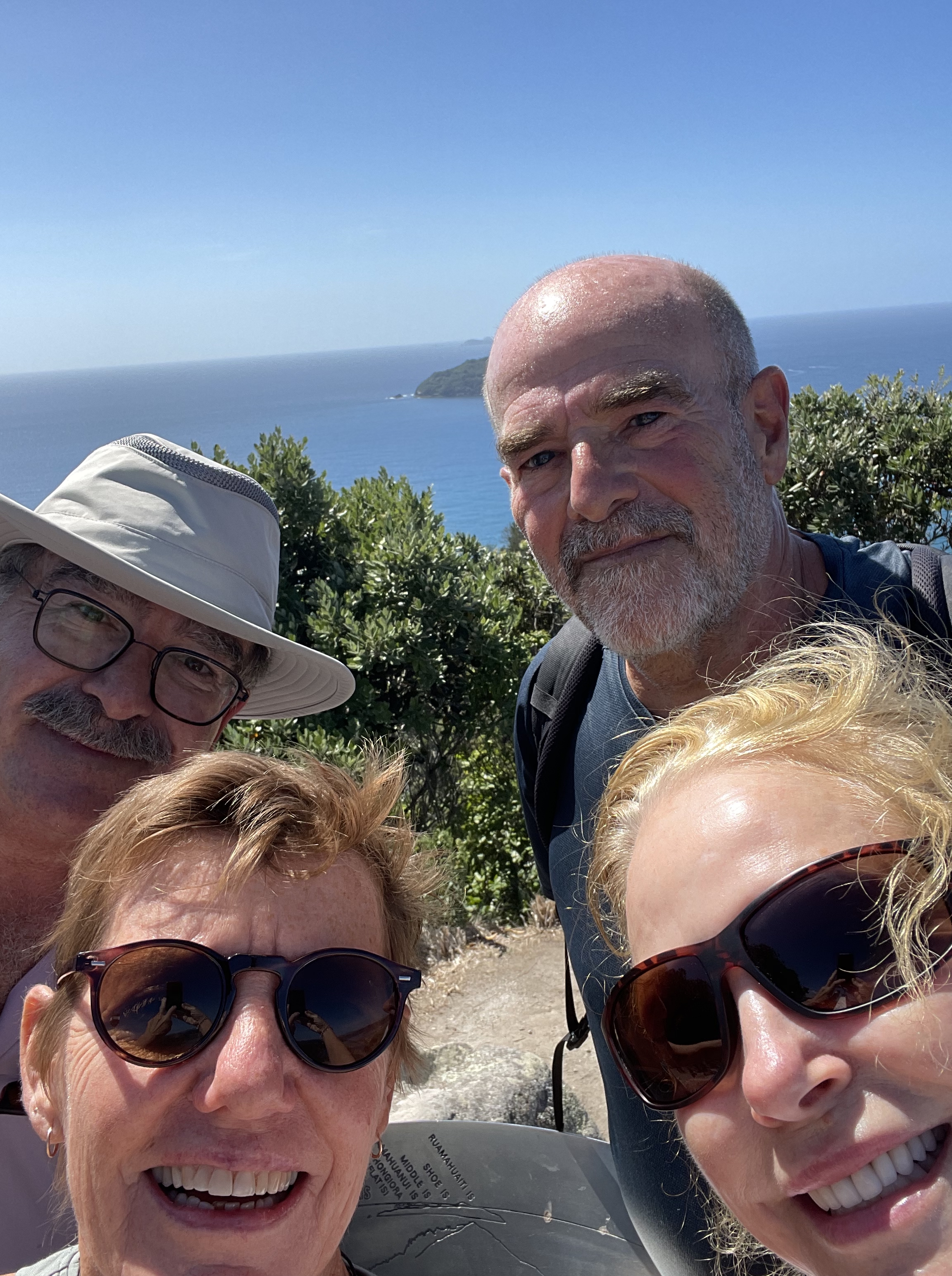
We eventually emerged from the forest to find ourselves at the Mount Victoria Lookout which afforded some nice views of the surrounding area including (of particular interest to Denny who is a bit of an aerophile) Wellington International Airport, which was on the other side of the ridge.

Having felt like we had given Wellington a pretty good go for just a half-day tour, we made our way back down from Mount Victoria and hit the road for our next destination, the town of Napier in Hawke’s Bay, about 200 miles northeast of Wellington.
Napier (Wednesday March 6th to Friday March 8th)
With a population of about 67,000, Napier is the largest city on Hawkes Bay, a region known for its beaches and wineries. (Sounded like our kind of place!) Similar to Wellington, the area was inhabited by various Māori tribes from the 13th century and was purchased by the Crown in 1851.
Napier is the nexus of the largest wool centre in the Southern Hemisphere, and is the primary export seaport for northeastern New Zealand, which is the largest producer of apples, pears, and stone fruit in New Zealand. The Hawke’s Bay wine region is now the second largest in New Zealand and grapes grown there are sent through the Port of Napier for export. Large amounts of sheep’s wool, frozen meat, wood pulp, and timber also pass through Napier.
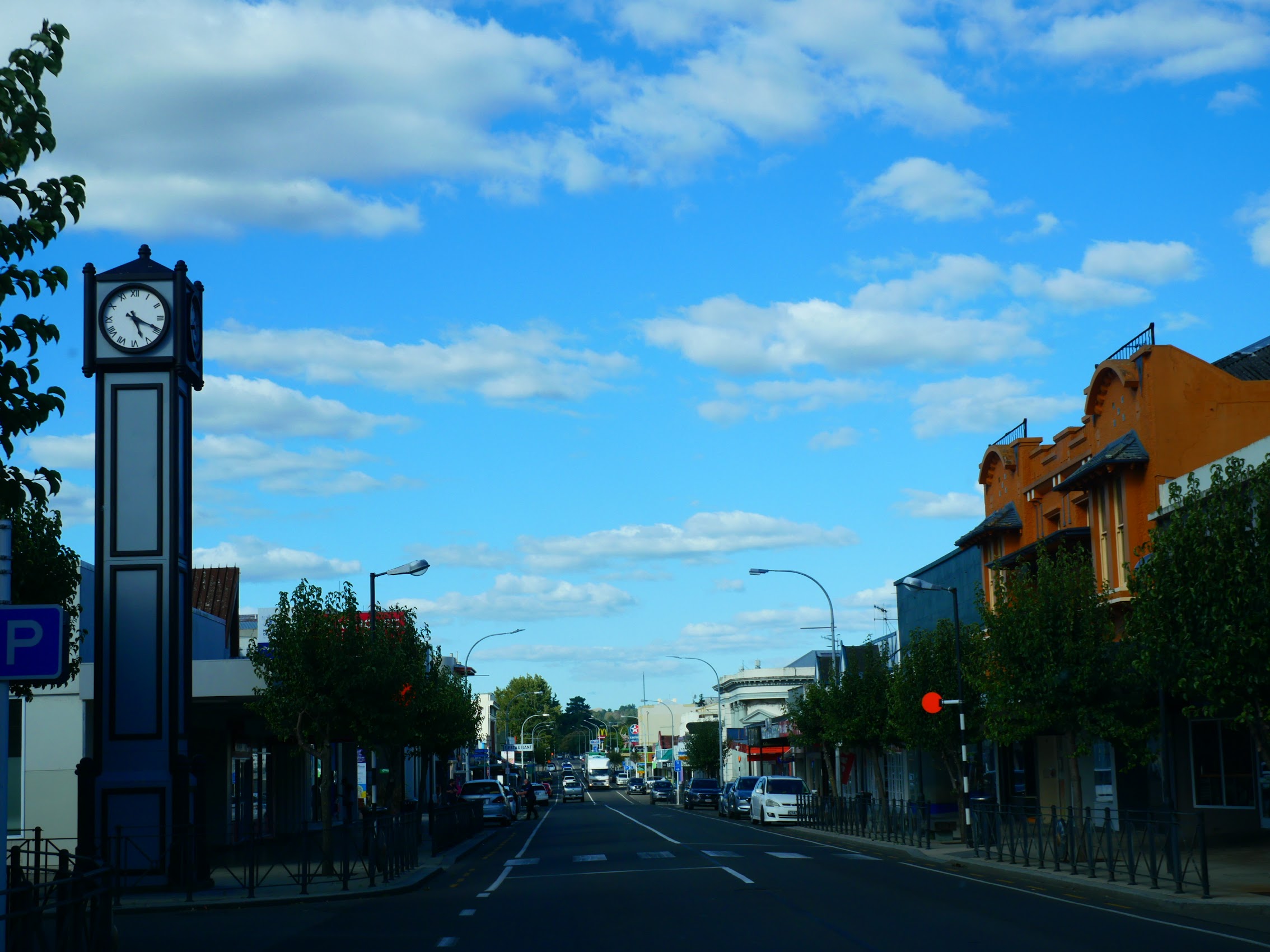
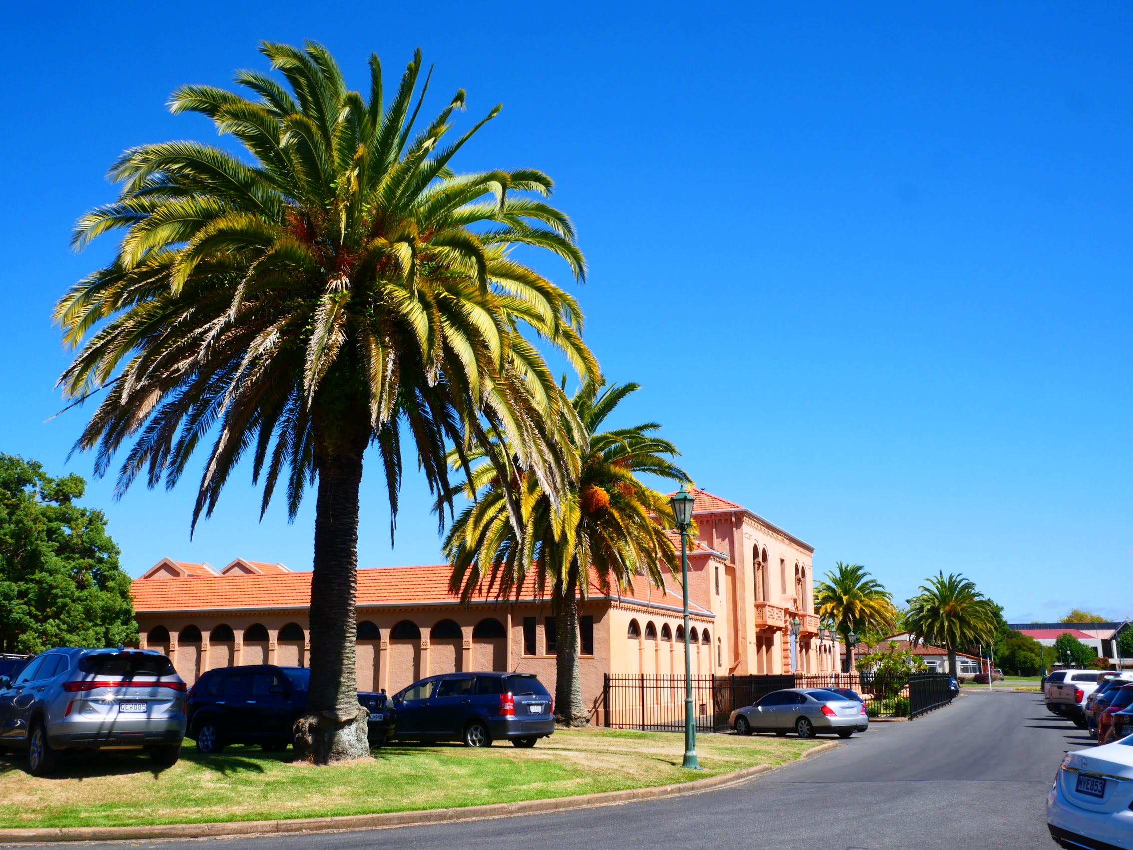
Perhaps the most interesting thing about Napier (at least to me) is its unique concentration of 1930s Art Deco and, to a lesser extent, Spanish Mission style architecture, built after much of the city was razed in the 1931 Hawke’s Bay earthquake which has led to its (self) proclamation as the “Art Deco Capital of the World”. (More about that later.)
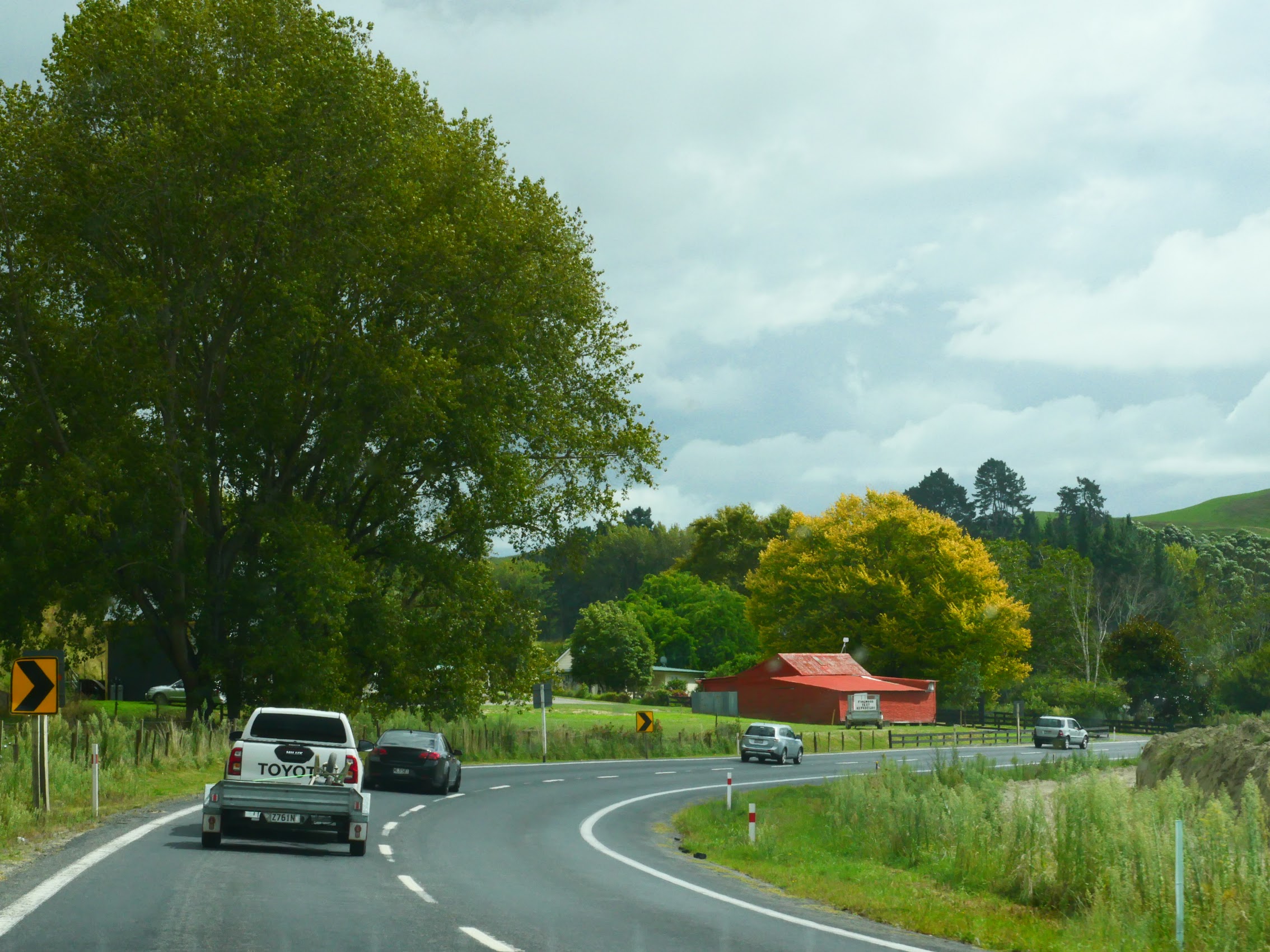
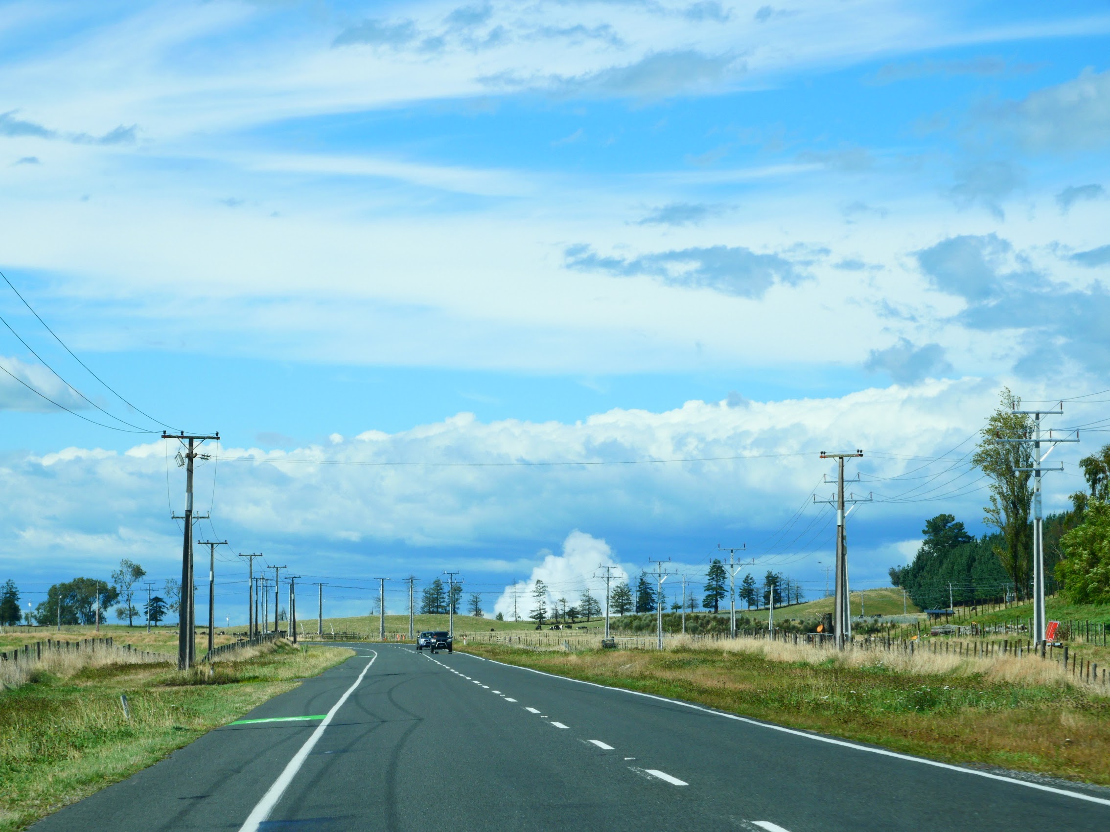
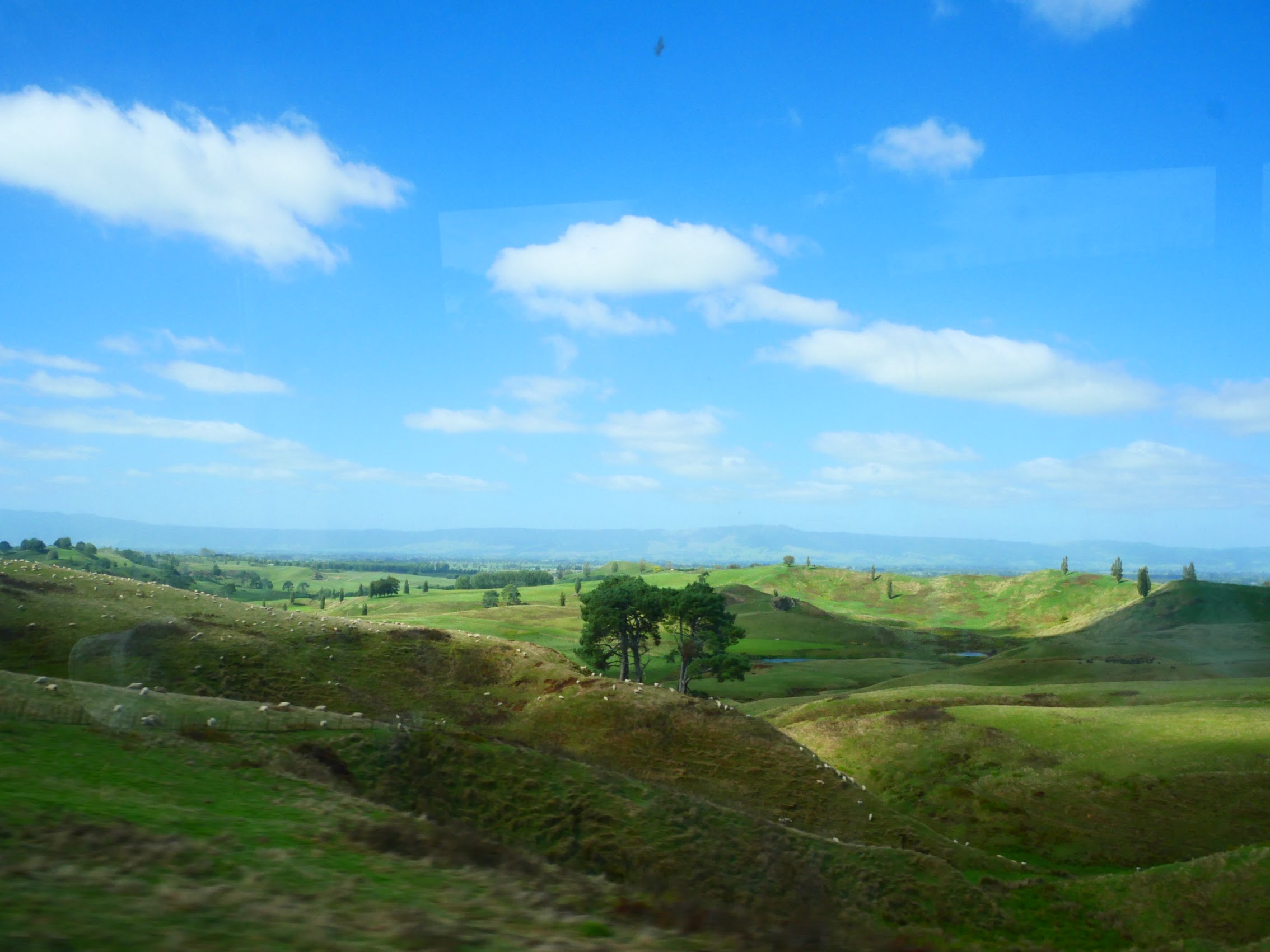
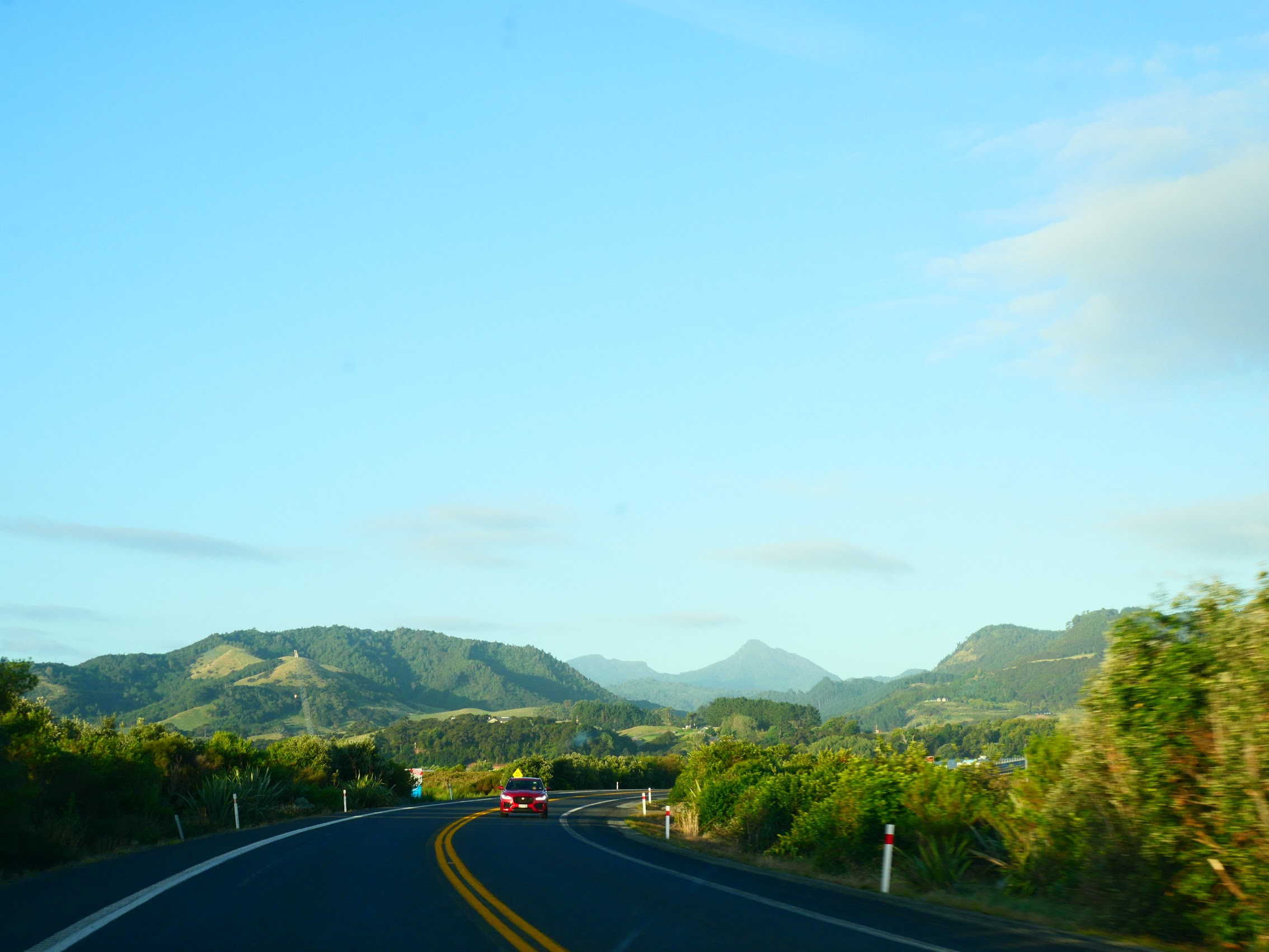
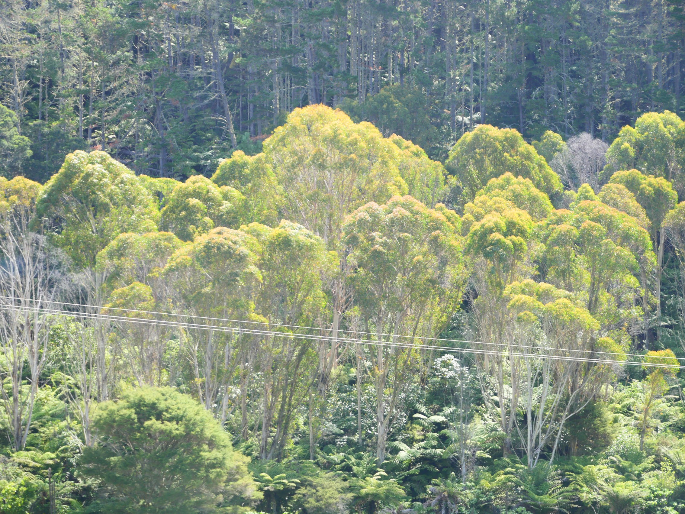
Our drive from Wellington to Napier started up the west coast of the North Island on Highway 1 (which was a real four-lane divided highway) but after about an hour we were back on the two- (sometimes three-) lane highways we had grown accustomed to. The road wound through wide valleys with farms stretching off into the distance between foothills and higher ridges (some capped with wind turbines), and, every now and then, we passed through another small town.
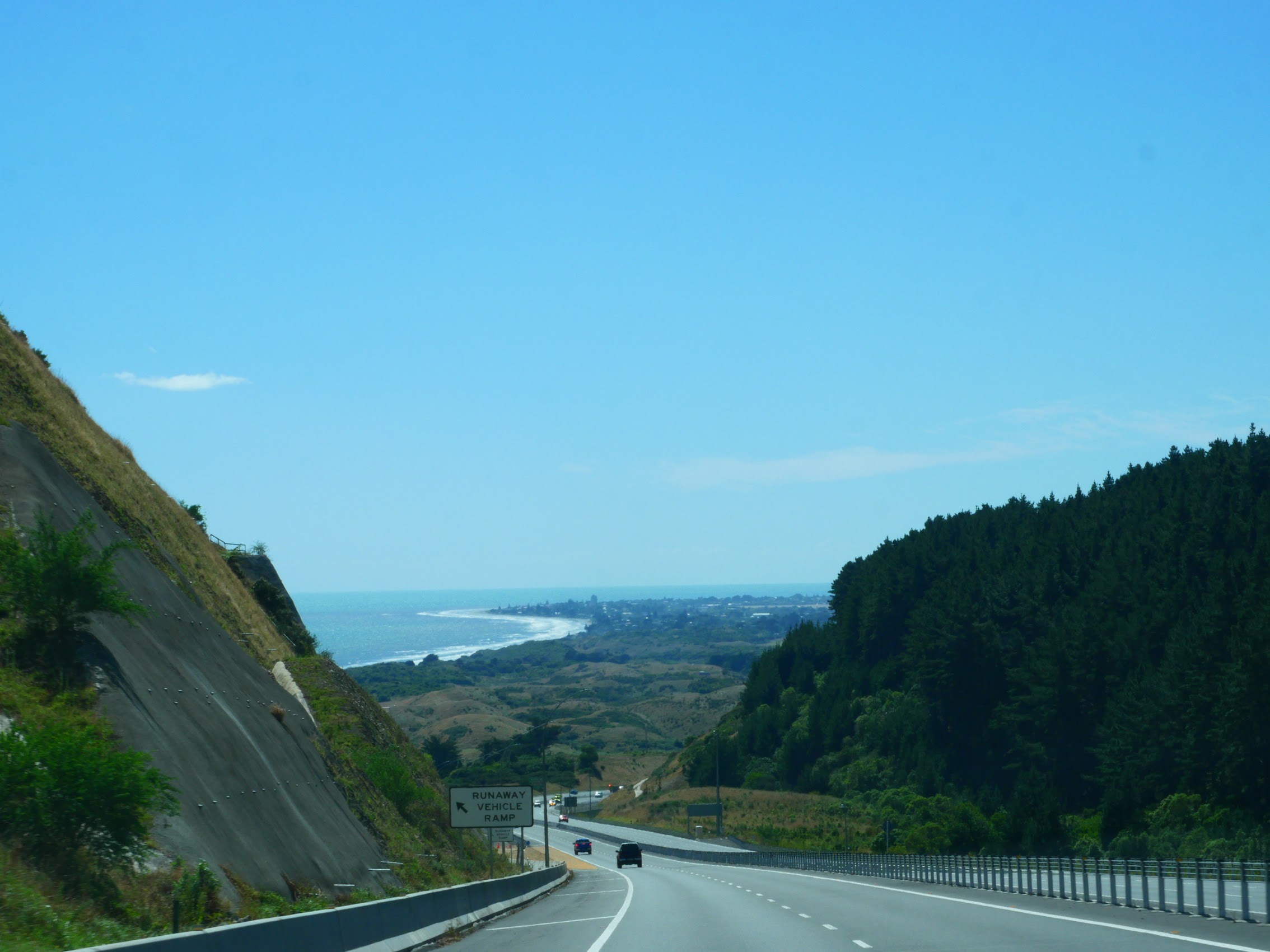

While not as dramatic as what we had seen on the South Island, the scenery was beautiful, perhaps more so because of the warm sunny weather which was a welcome relief from what we had experienced over our last few days on the South Island. After about 5-1/2 hours of driving (not bad for what Google Maps estimated to be 4-1/2 hours) we arrived at our stay in Napier for the next 2 days, the Beachfront Villa.
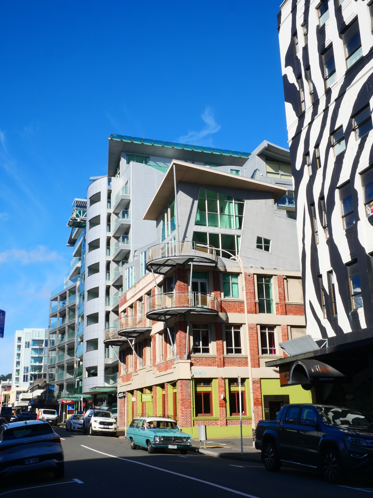
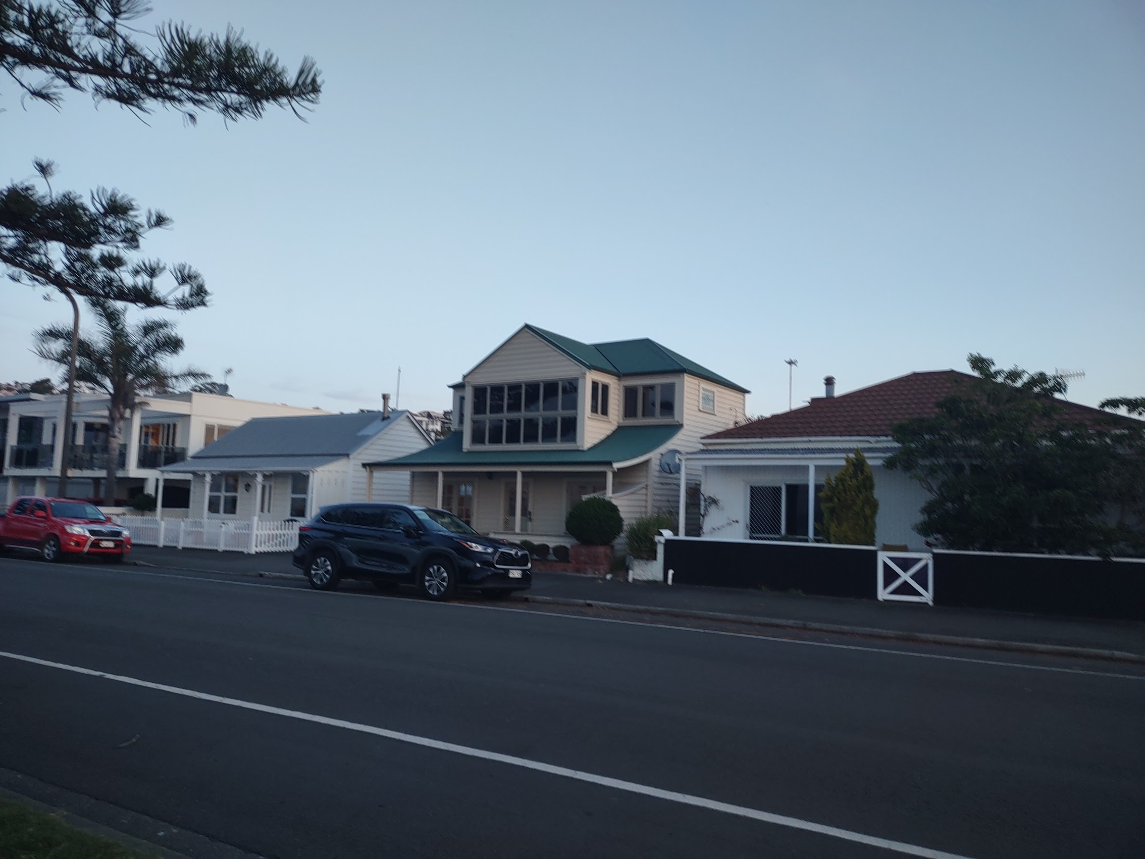
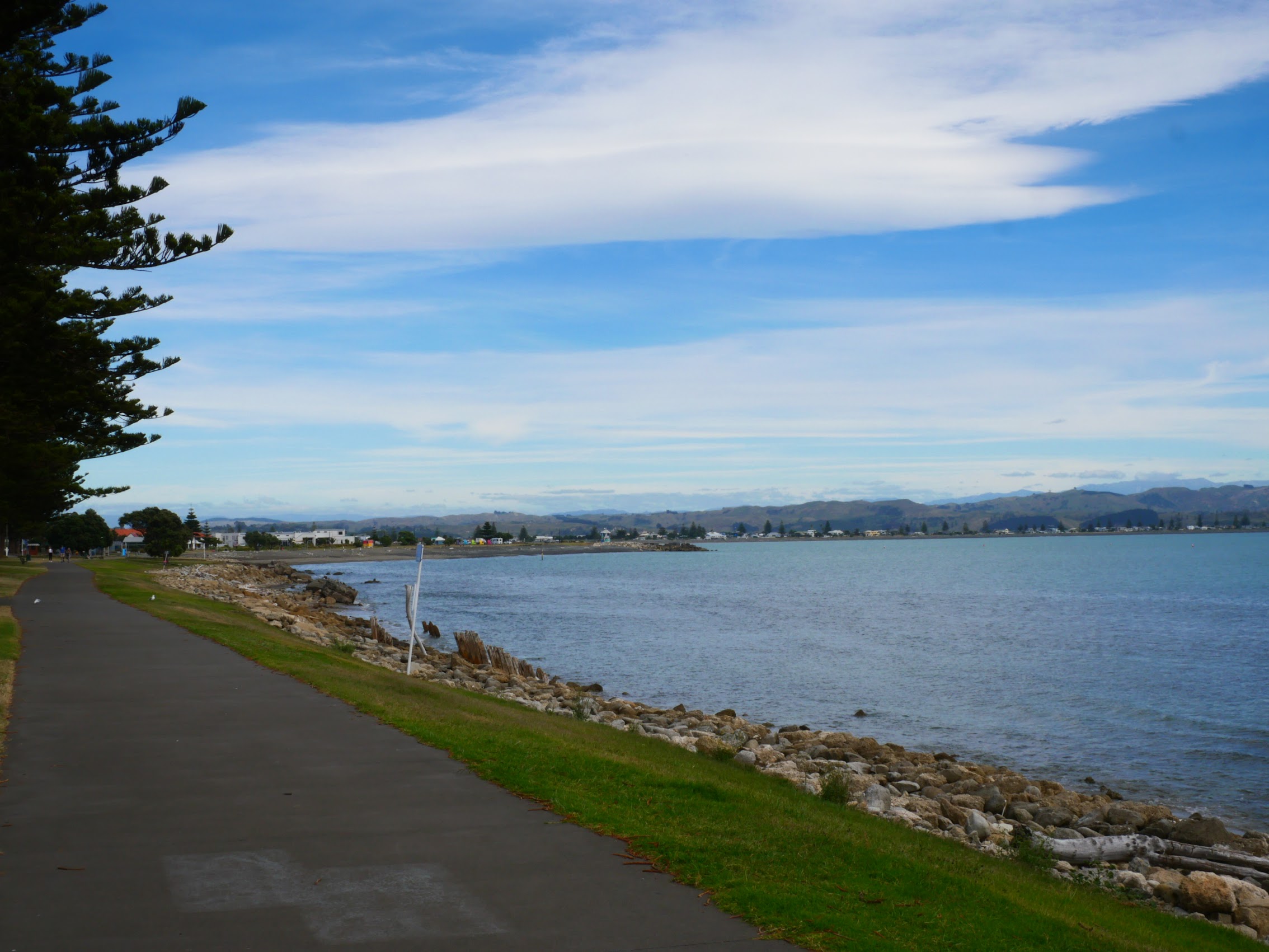
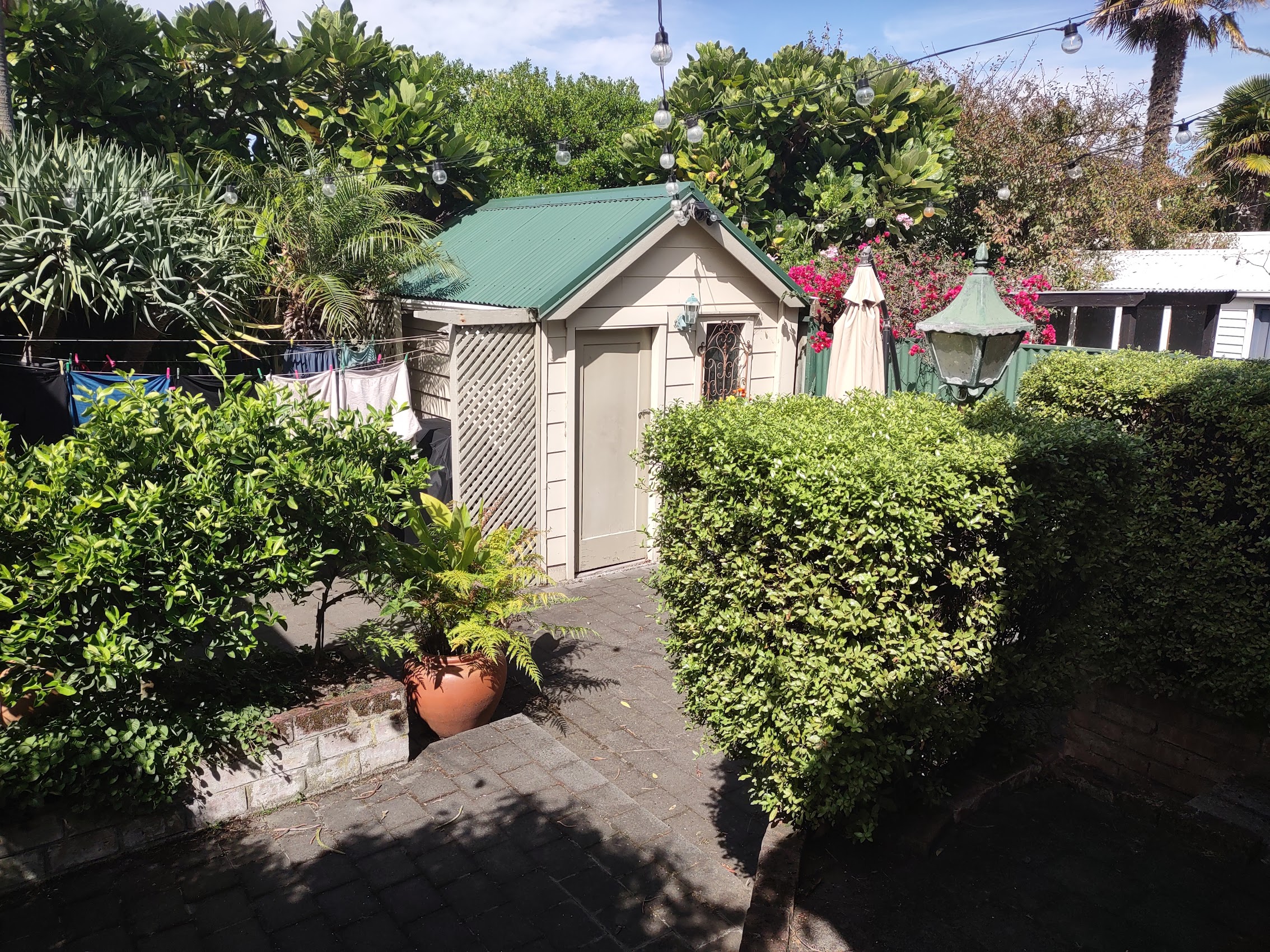
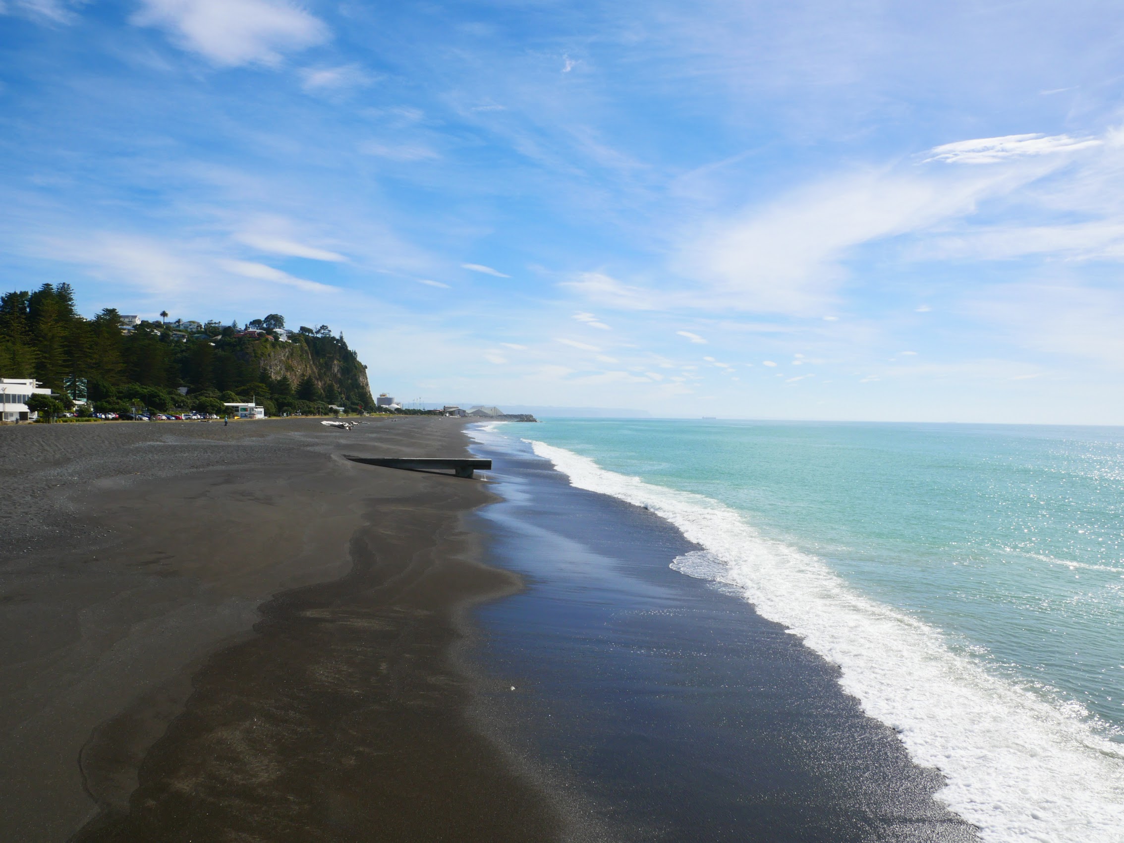
The Beachfront Villa was located directly on Hawkes Bay (only 100 feet away!) on Hardinge Beach on the north side of the Napier peninsula. It was a nice quiet neighborhood, only two blocks deep, which ran from the current port of Napier to the old port which is full of funky old industrial buildings, many of which have been transformed into condos or restaurants, and which is becoming a destination in its own right. Our neighborhood was separated from the town center by a hilly promontory called Bluff Hill but (as I confirmed the next morning) it was only about a 30-minute walk into town.
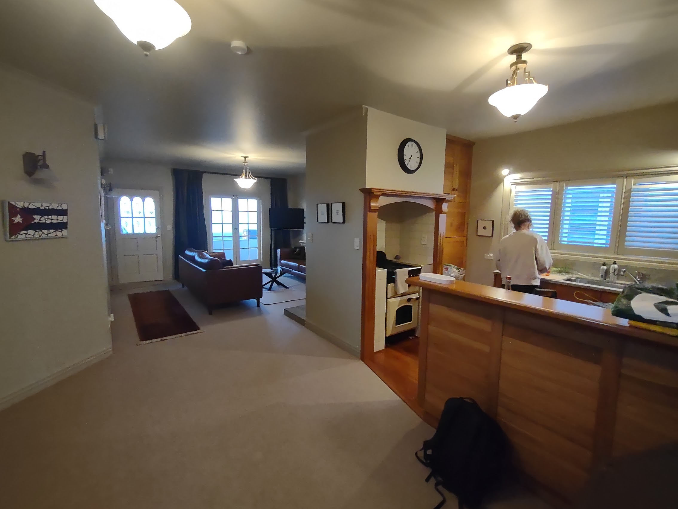
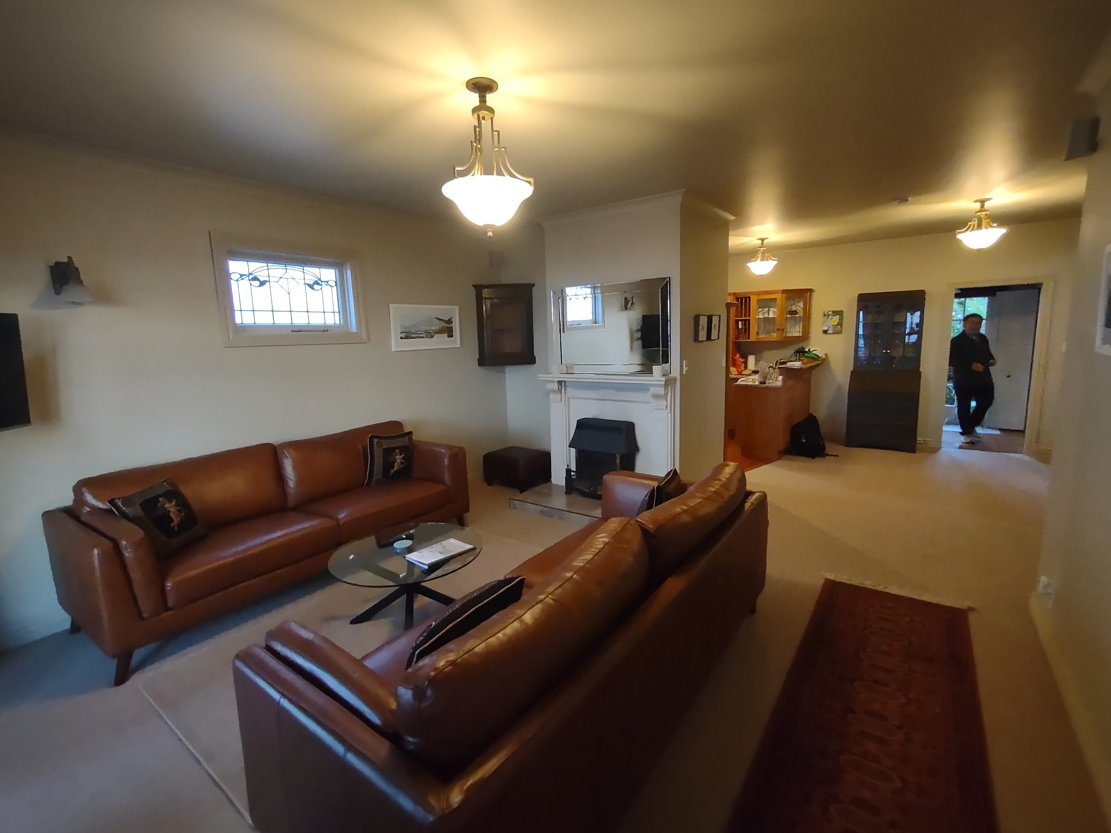
Our stay, the Beachfront Villa was small 2-story 2-bedroom 2-bath cottage with a small backyard with wonderful views of Hawkes Bay from a small front porch and the second floor bedrooms. The place had been recently (and very well) renovated with nice furnishings and was quite cozy. At $183 per couple per night, it was one of our most expensive stays in New Zealand but, given the quality, comfort, and location, well worth it! (I had a chat with a neighbor (Pete) who advised that Hardinge Road was voted the most desirable street to live on in New Zealand!)

We finished our first day in Napier with some amazing tasty (and healthy) nachos which Wendy prepared. After dinner we finished watching The Fellowship of the Ring (one down, two to go not counting The Hobbit).
Napier Architecture
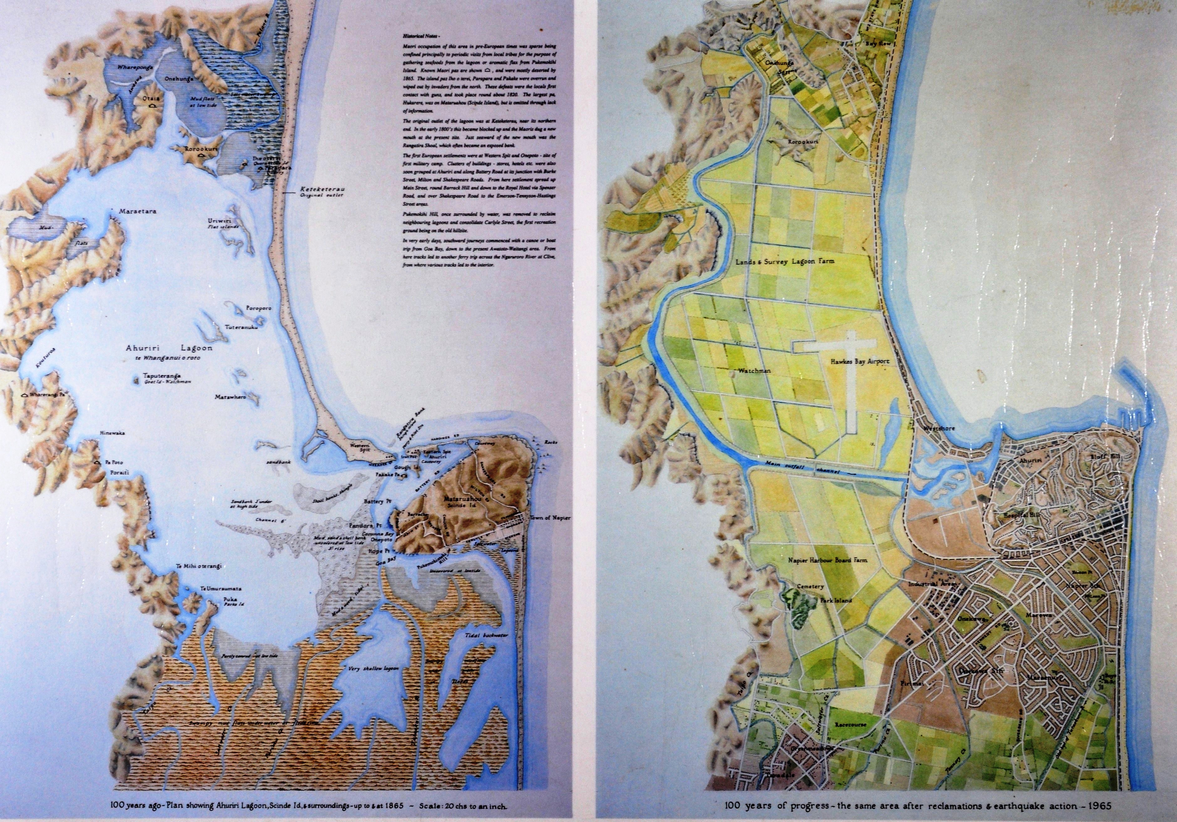
As I mentioned earlier, I had a particular architectural interest in the city of Napier which was all but destroyed by a magnitude 7.8 earthquake in 1931 (the epicenter was just 15 kilometers north of Napier) and an ensuing 36-hour fire in central Napier. It was the worst natural disaster in the history of New Zealand killing 256 people. But it is what happened after the earthquake which was of particular interest to me as an Architect, and what I learned was pretty amazing.

The earthquake was caused by movement along a buried fault line between the Australian and Pacific tectonic plates almost directly under Napier which not only devasted Napier and the nearby town of Hastings but also raised the elevation of Napier and its surrounding area by 6 feet or more. As a result, over 5,000 acres of “new” land were raised above sea level including the large Ahuriri Lagoon which had existed northwest of Napier prior to the earthquake. (The former lagoon is now the site of Hawks Bay Airport.) Debris from landslides and demolished buildings was placed on the newly upraised foreshore, and covered with soil to create a broad garden esplanade along Napier’s Marine Parade.
Napier threw itself into reconstruction with the goal of becoming the most modern town in the world. In order to forestall haphazard growth, a temporary shopping center (dubbed “Tin Town”) was built at Clive Square, a park near the city center, and was used for several years while the city center was being rebuilt. Napier’s new town center boasted many improvements, including wider streets and some of New Zealand’s earliest underground power and telephone lines.
The loss of life caused by the collapse of so many buildings shocked the country, so engineers studied the building damage to identify the most dangerous defects in design and construction. A Buildings Regulations Committee developed guidelines to ensure the new buildings were safer (their recommendations were the forerunner of building codes now used throughout New Zealand).
With the potential for future earthquakes in mind, new buildings were generally kept to two or three stories, and most were constructed of reinforced concrete. (The majority of the buildings in Napier which collapsed during the earthquake were constructed of brick or were wood frame structures which were consumed in the subsequent fire.)
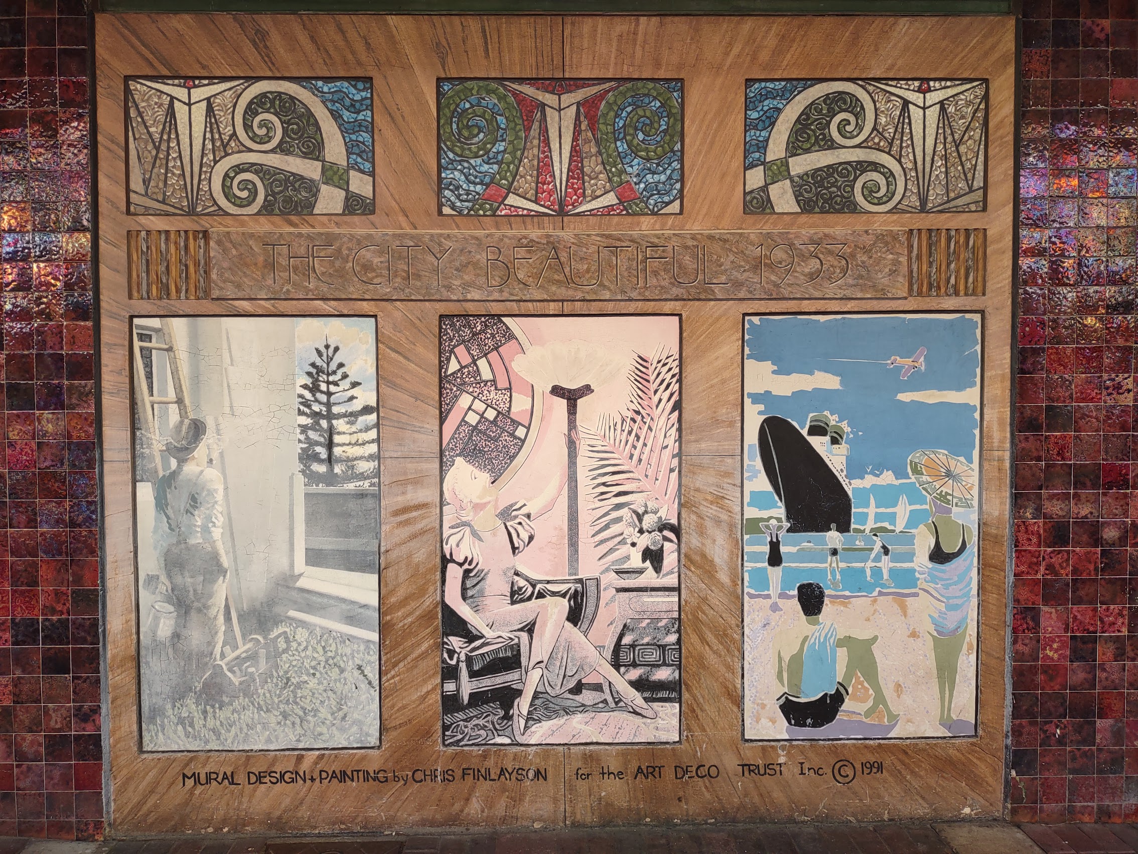
Reinforced concrete construction not only proved to be economical (this was all going on during the Great Depression) but was also well suited to the angular, streamlined look of the Art Deco style which was all the rage at that time. The façades were decorated with Art Deco’s signature geometric designs and intricate patterns — including some that mimicked Māori motifs. According to the Napier city website, “Art Deco expressed all the vigor and optimism of the roaring twenties, and the idealism and escapism of the grim thirties.”
One hundred and eleven new buildings were constructed in the downtown area between 1931 and 1933. Four rival architectural practices joined to share resources and ideas for the redesign and reconstruction of Napier and, although the majority of these buildings were Art Deco, there were also many Spanish Mission Style buildings and even a few which reflect the influence of the early work of American architect Frank Lloyd Wright.
Napier today is said to have the highest concentration of Art Deco buildings anywhere (an assertion disputed by Miami, Florida and others) and claims to be the Art Deco Capital of the World (an assertion which, for whatever reason, does not appear to be disputed).
And so, with visions of Art Deco dancing in my head, I asked Colleen to give me a lift into town on our first morning in Napier so that I could take a bit of an architectural tour before the wine tour we had scheduled for that afternoon.
Downtown Napier
[Deep Dive Warning! Following is a pretty detailed review of the buildings and architecture of downtown Napier. Be forewarned that it may be a bit much for some non-architects. (Maybe even for some architects!) Feel free to skip ahead]
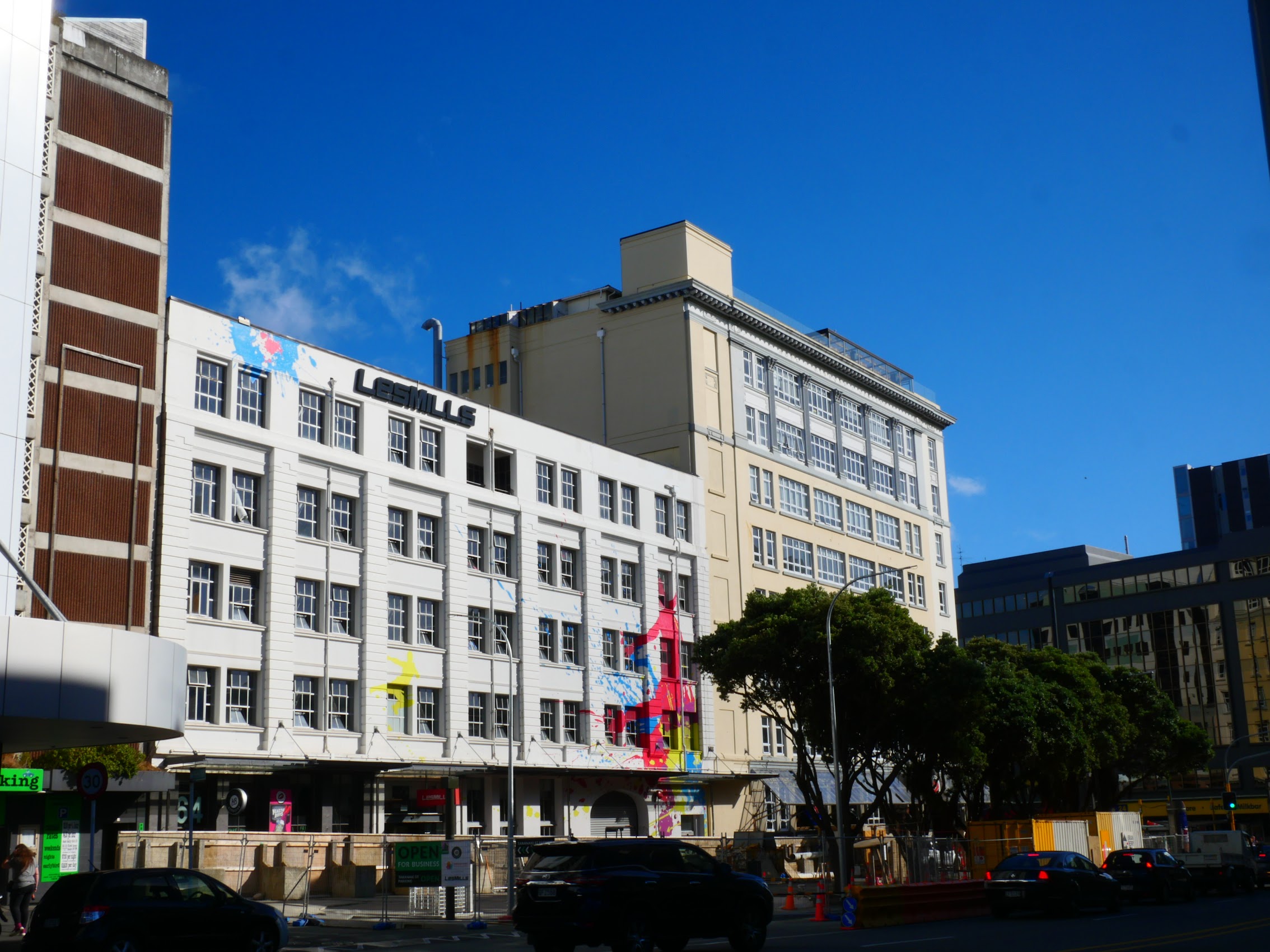
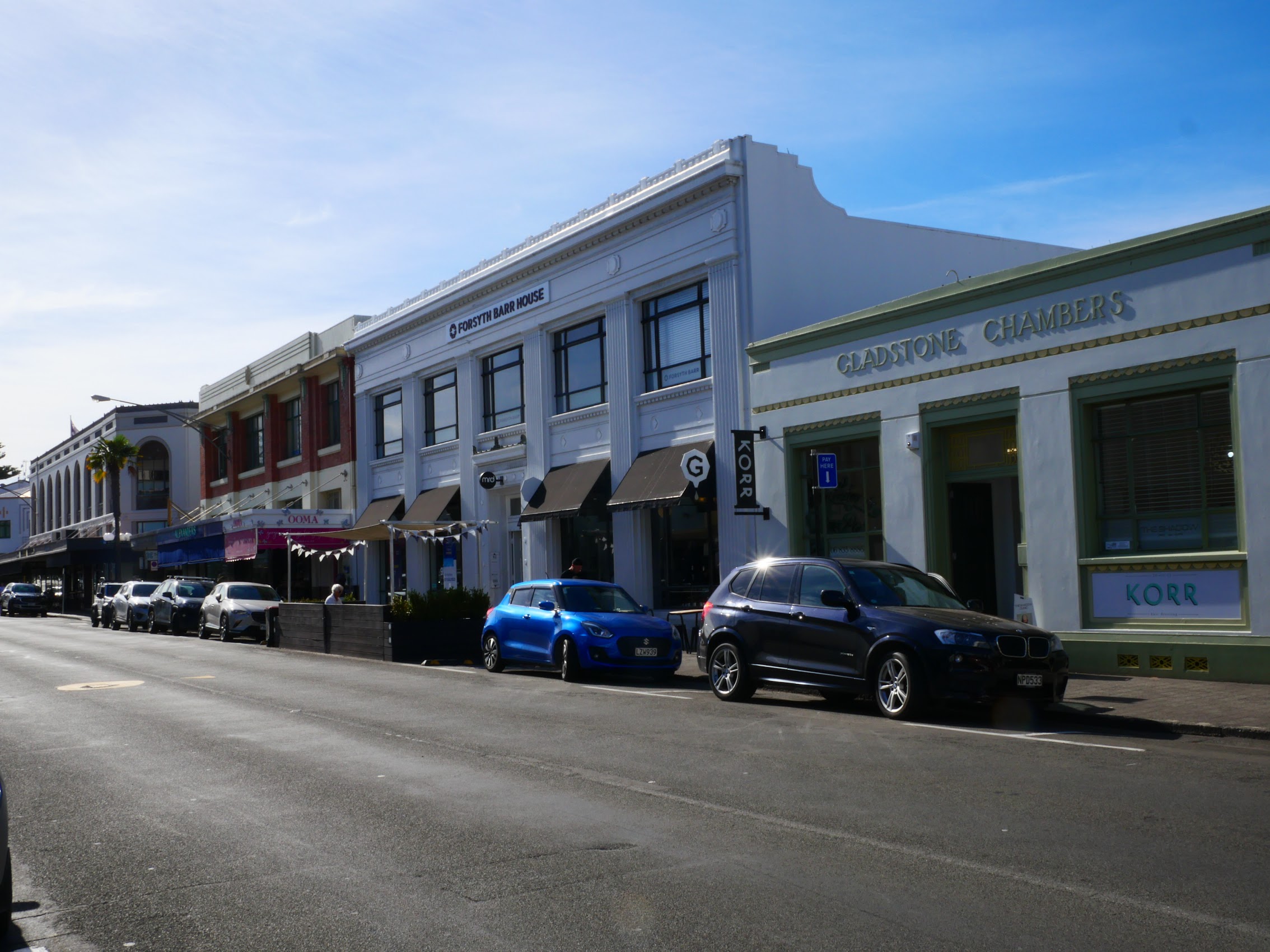
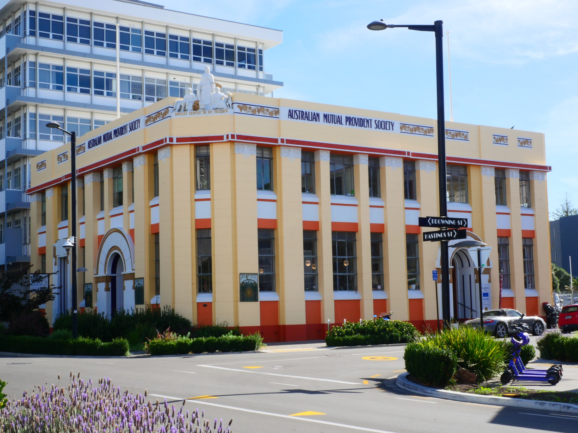
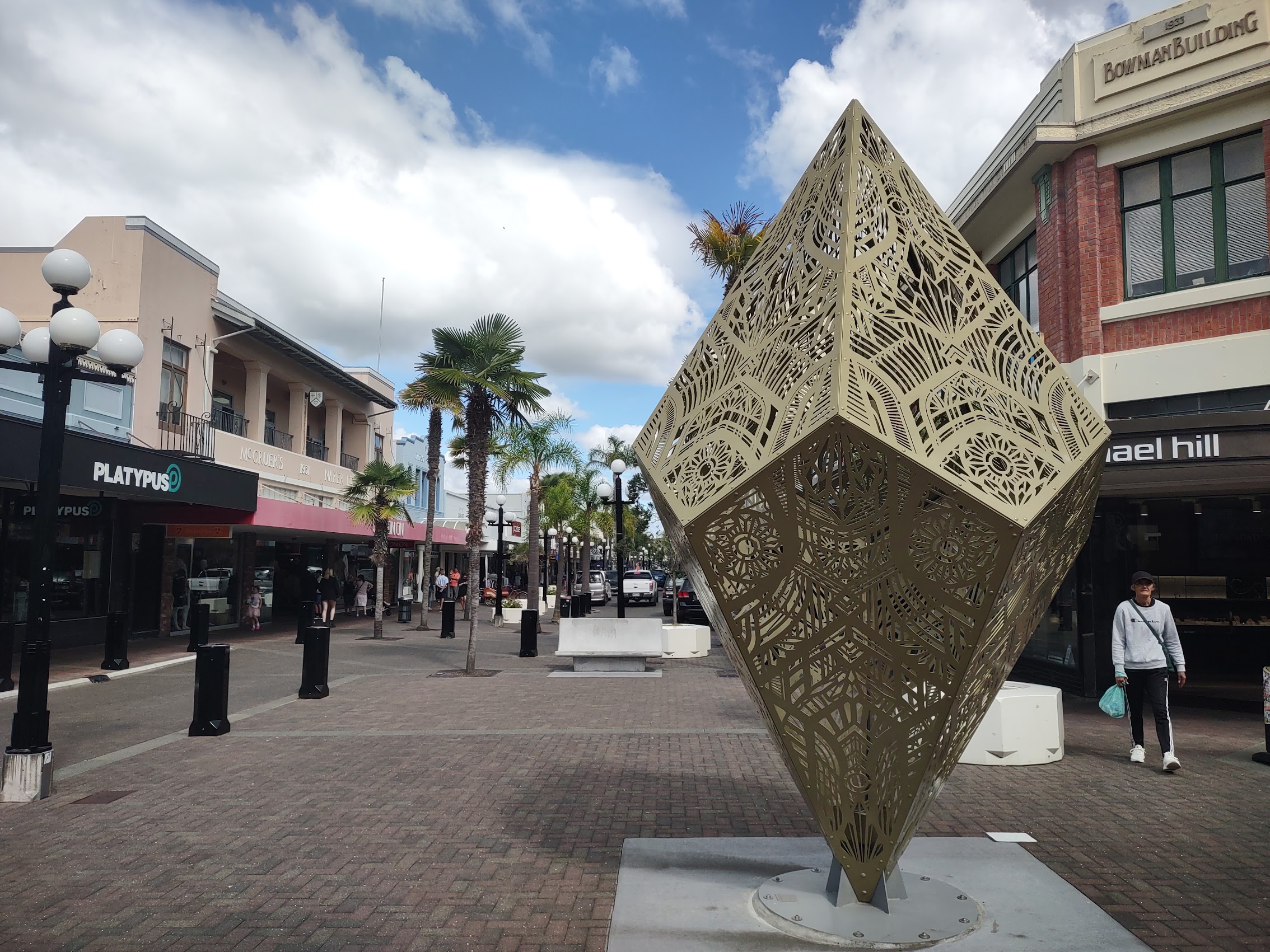
Downtown Napier was not exactly what I had imagined. As expected, there are areas of it (whole blocks) where all of the buildings are Art Deco designs, but there was more variety than I anticipated and there were some very interesting newer buildings as well as a few very nice old ones which had somehow survived the events of 1931.
While there are Art Deco buildings located throughout the city, the largest concentration of them is in the old central shopping district, an area of about six square blocks, where virtually every structure is of Art Deco or Spanish Mission Style design (or something between the two). But, despite the pervasive application of the Art Deco style, there is still quite a range in the level and detail of decoration as well as a variety of color schemes which provides for a fair amount of variety from building to building.
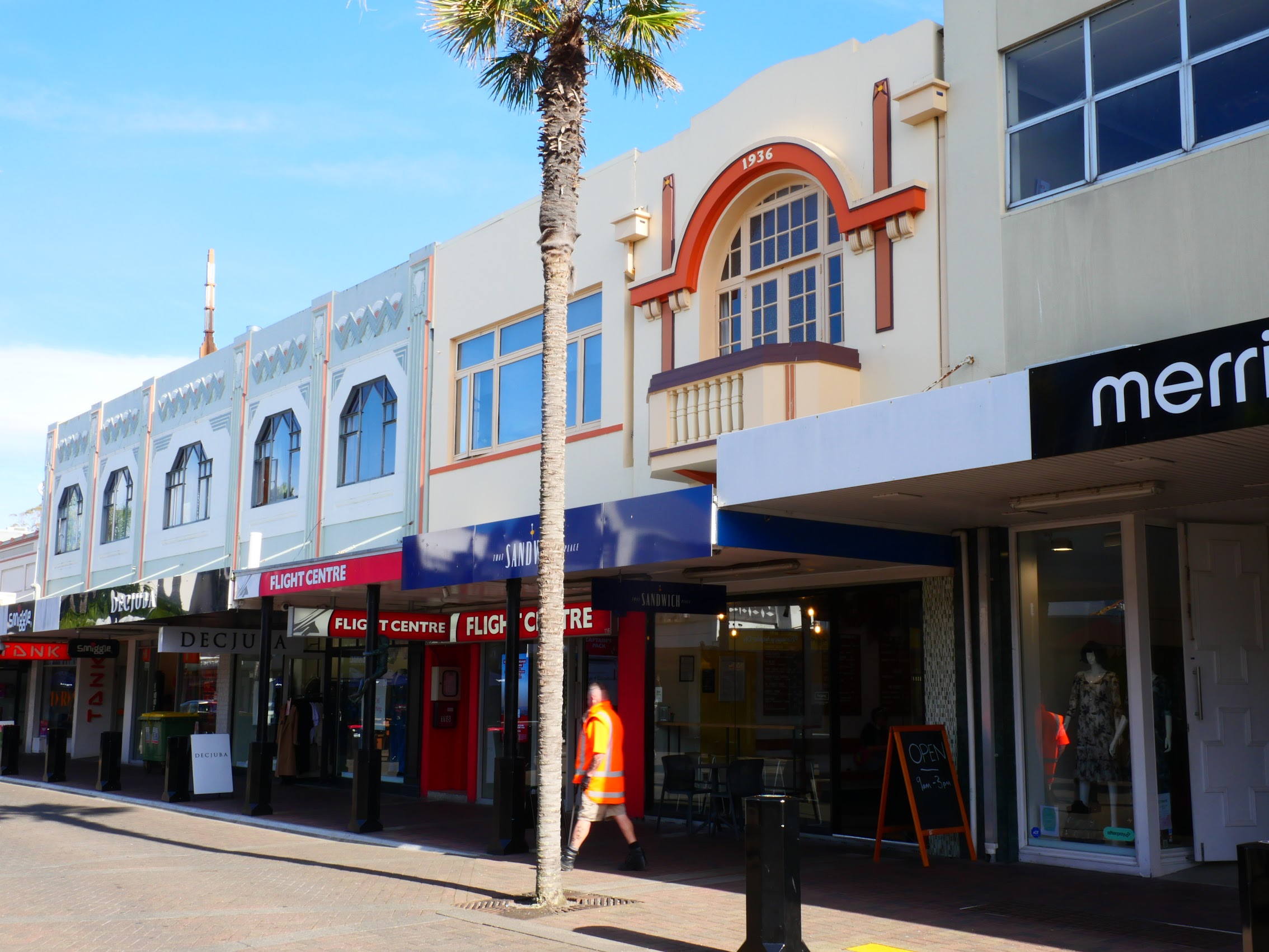
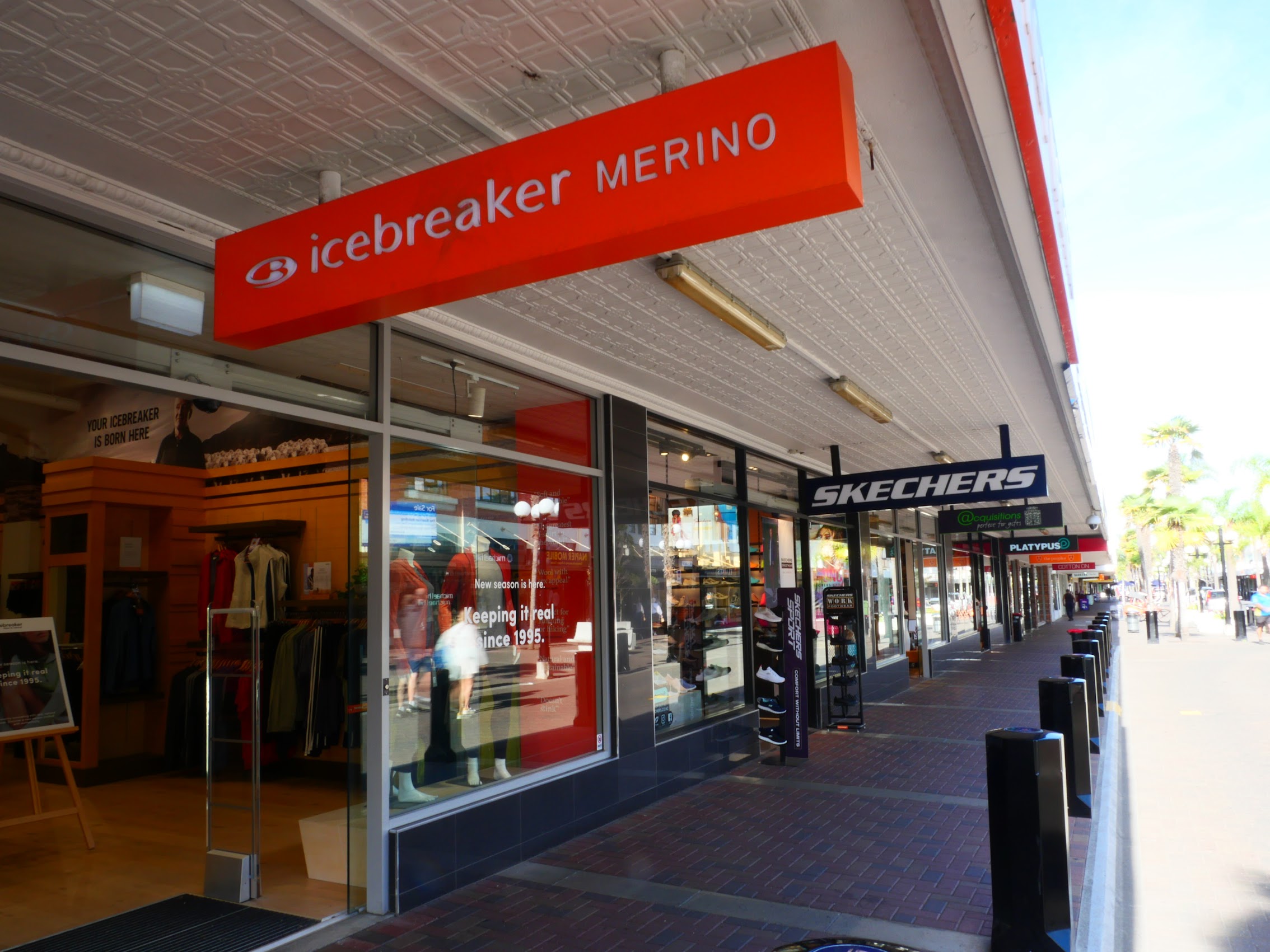
Unfortunately, as the majority of buildings in this area are retail stores, the original street level facades of many (but not all) have been given over to the necessities of modern merchandising and mostly replaced with glass store fronts. And, while it does appear that the original designs provided for suspended canopies to protect shoppers from the sun and rain, these two have been updated for merchandising and advertising purposes. But, despite these modernizations, the upper floors of these buildings appear to be relatively untouched and well maintained and still lend a pretty unique feel to the district.

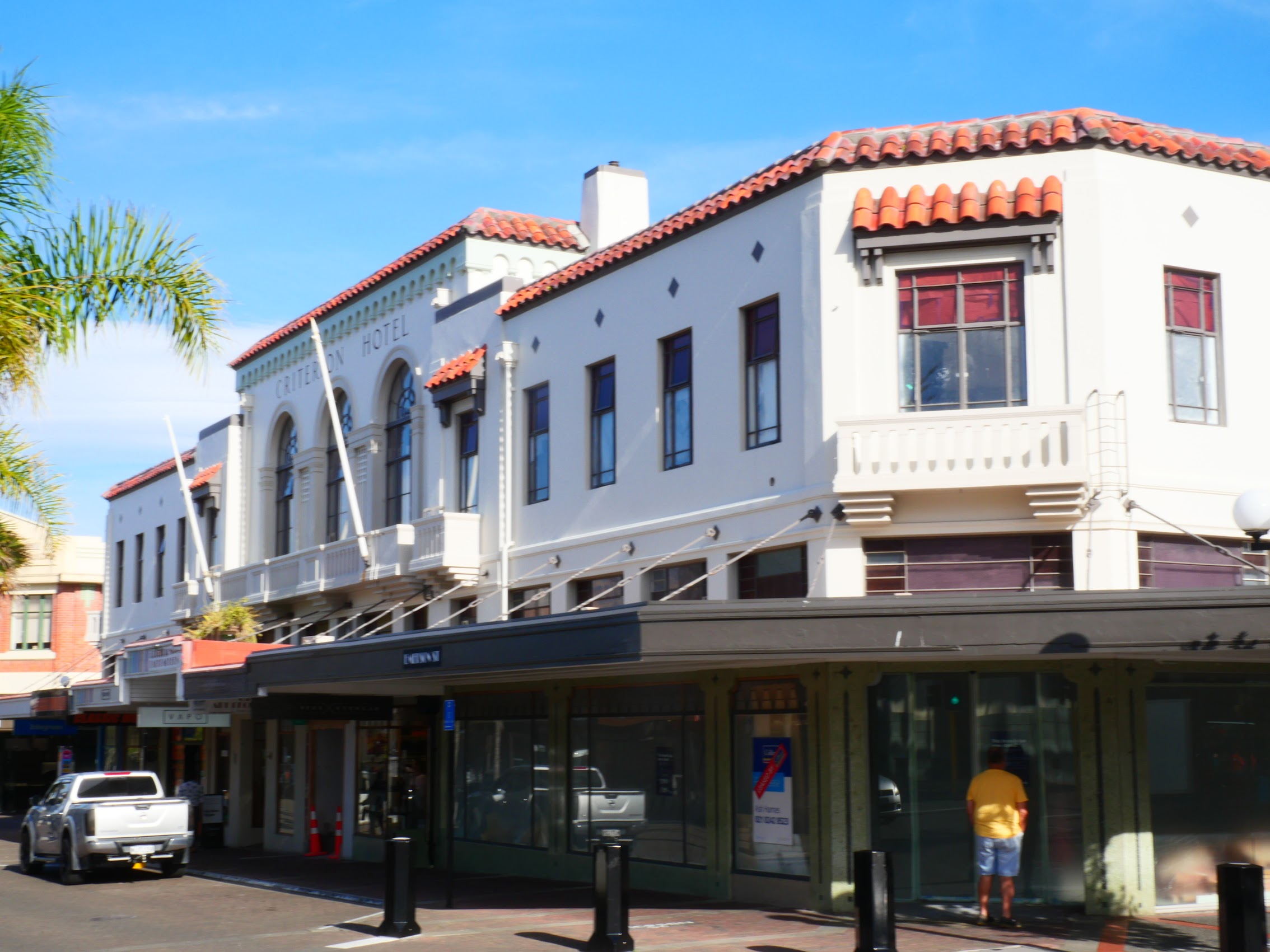
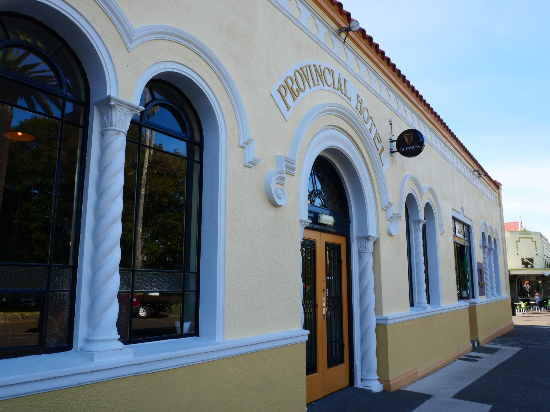
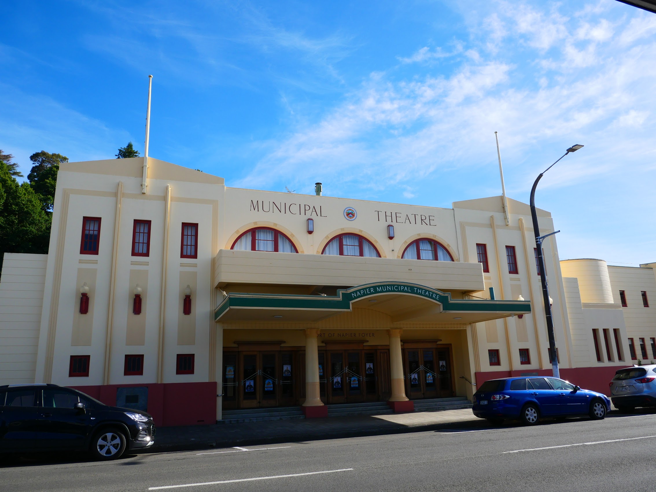
Outside of the central shopping district, there are a number of noteworthy Art Deco structures which have seen little alteration since their original construction. These include the Provincial Hotel (1932), the Napier Municipal Theater (1938), and many other more pedestrian but still beautiful buildings.

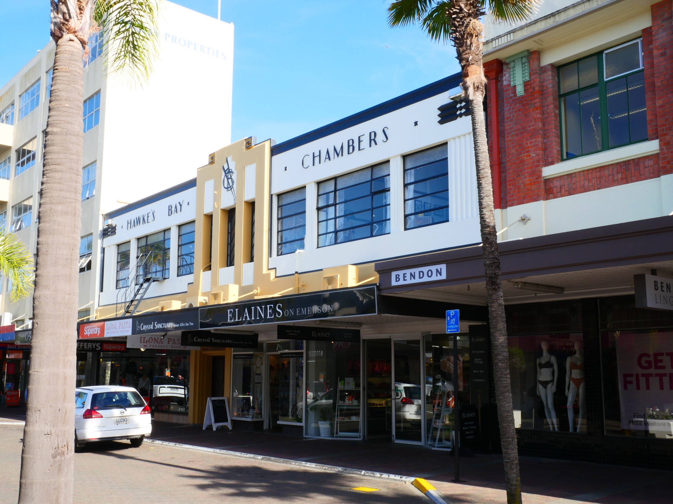
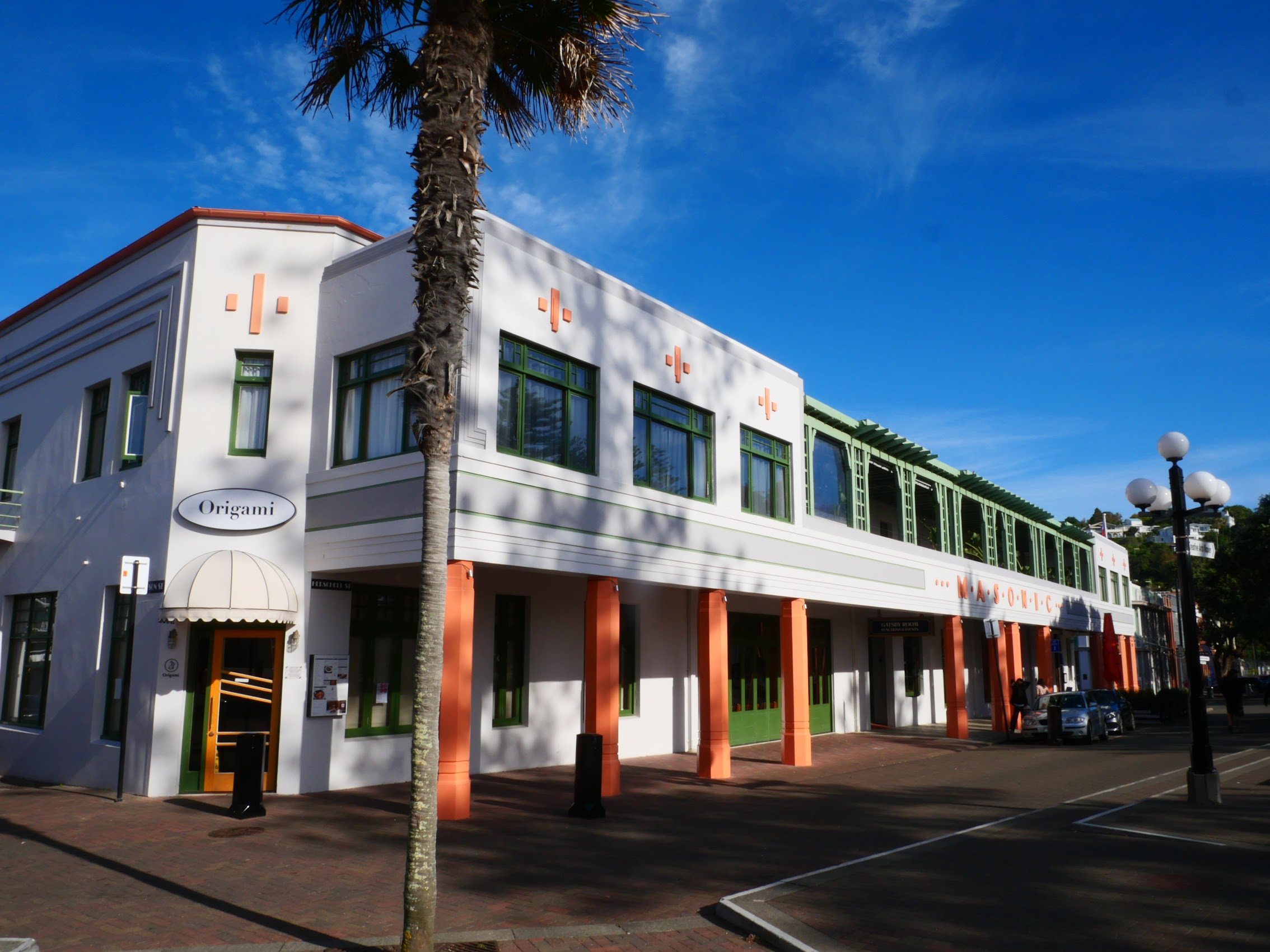
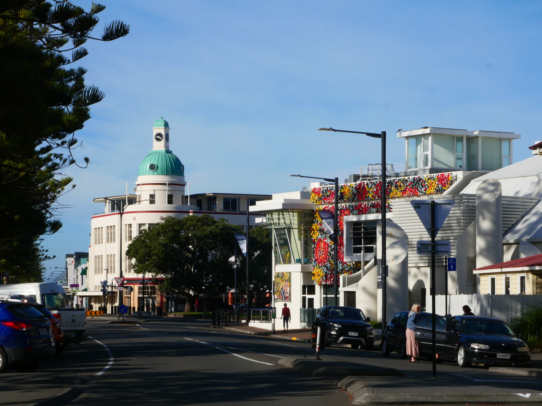
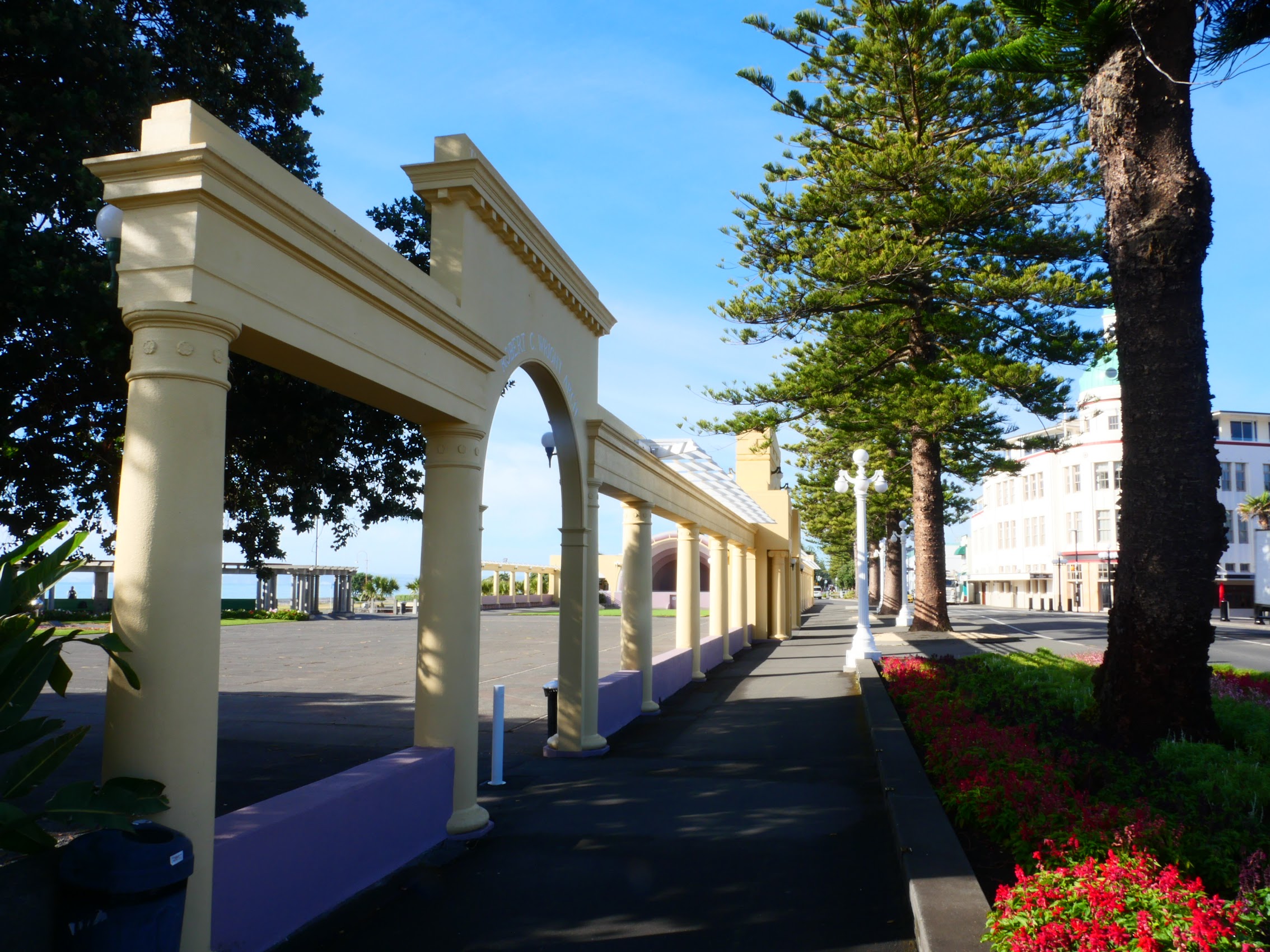
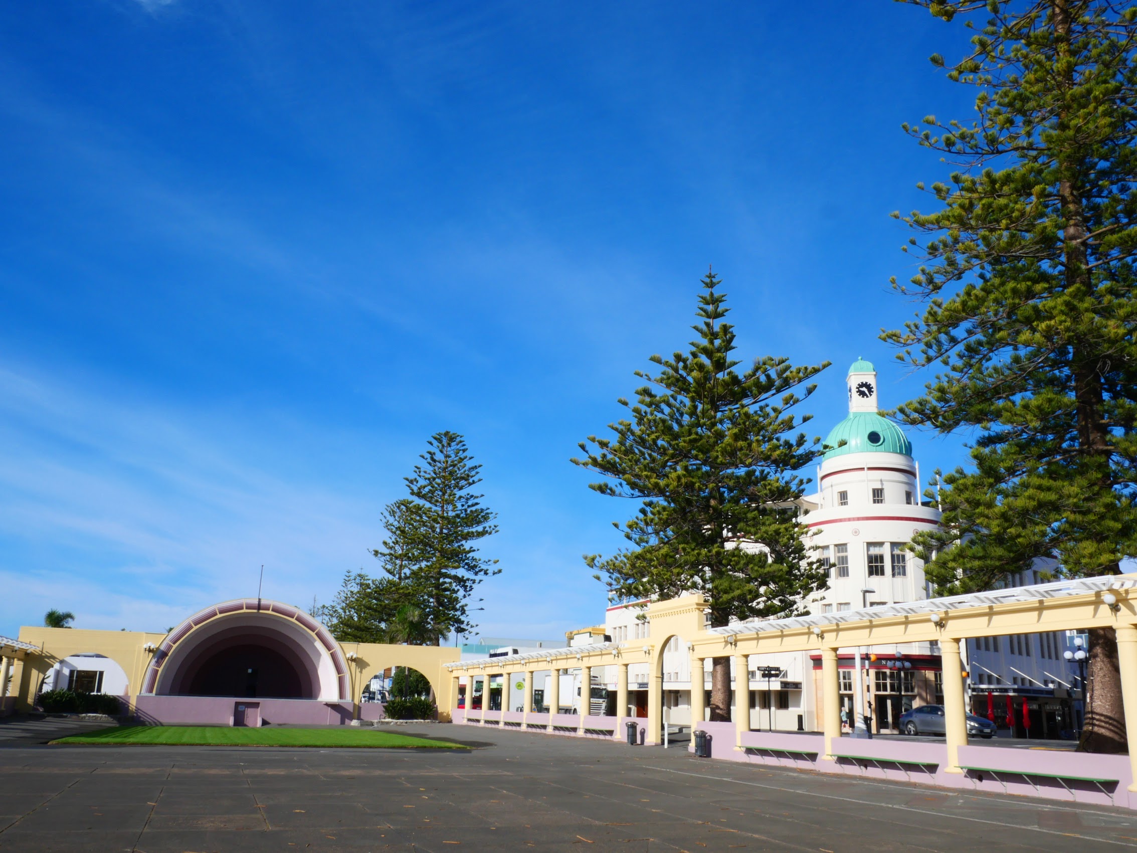
Some of the most interesting and noteworthy buildings in Napier, both old and new, are located on the Town side of Marine Parade, a 3-kilometer-long stretch of seafront connecting the city of Napier and the ocean. These include the iconic Dome (1935), which was originally the home of Temperance General Insurance, a company that emerged during the prohibition era in the early 1900s. The nearby Masonic Hotel (1932), a beautifully maintained Art Deco design, is where Queen Elizabeth II and Prince Philip stayed while in Napier in January 1954 on Her Majesty’s Coronation Tour of New Zealand.
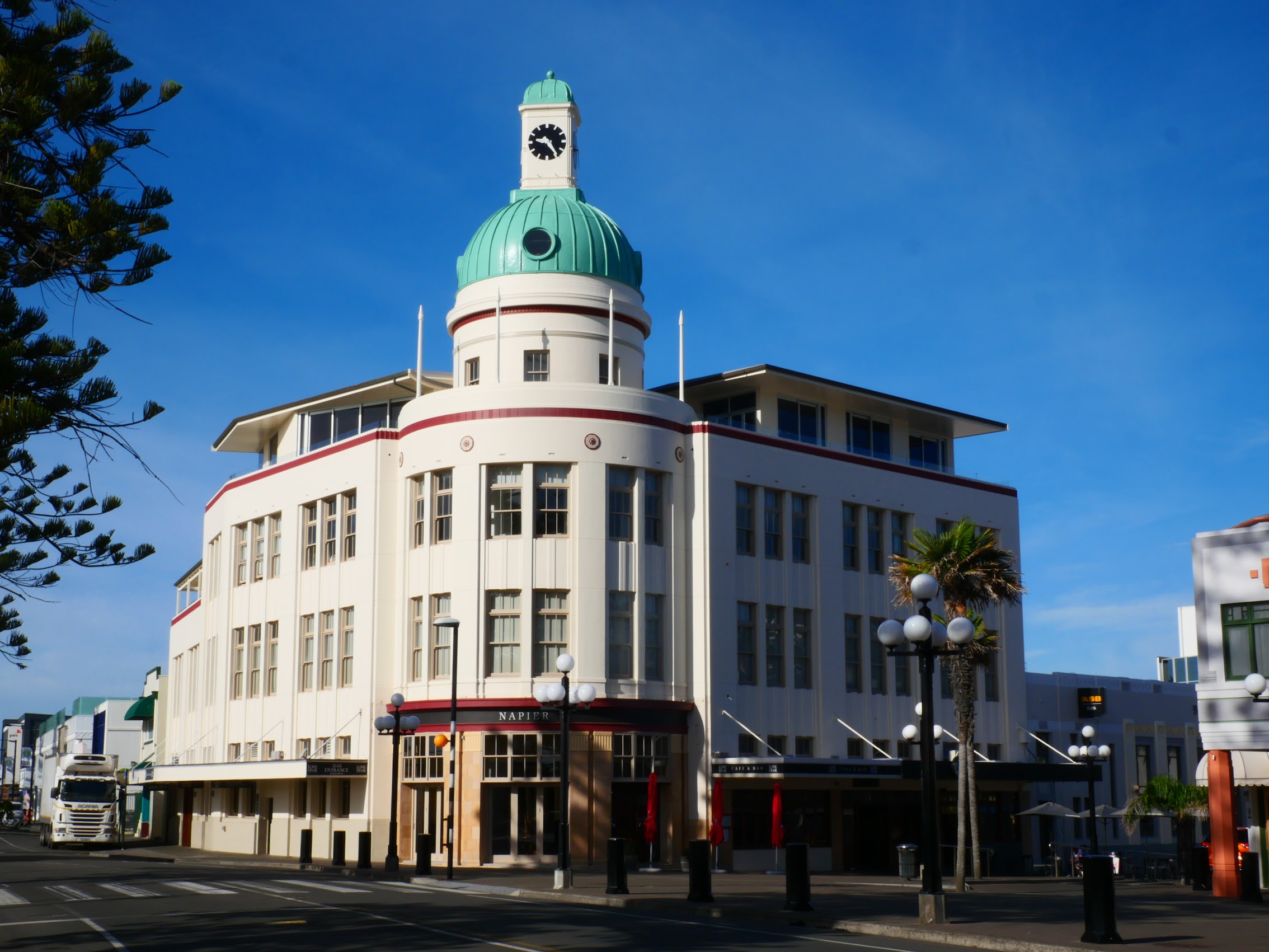
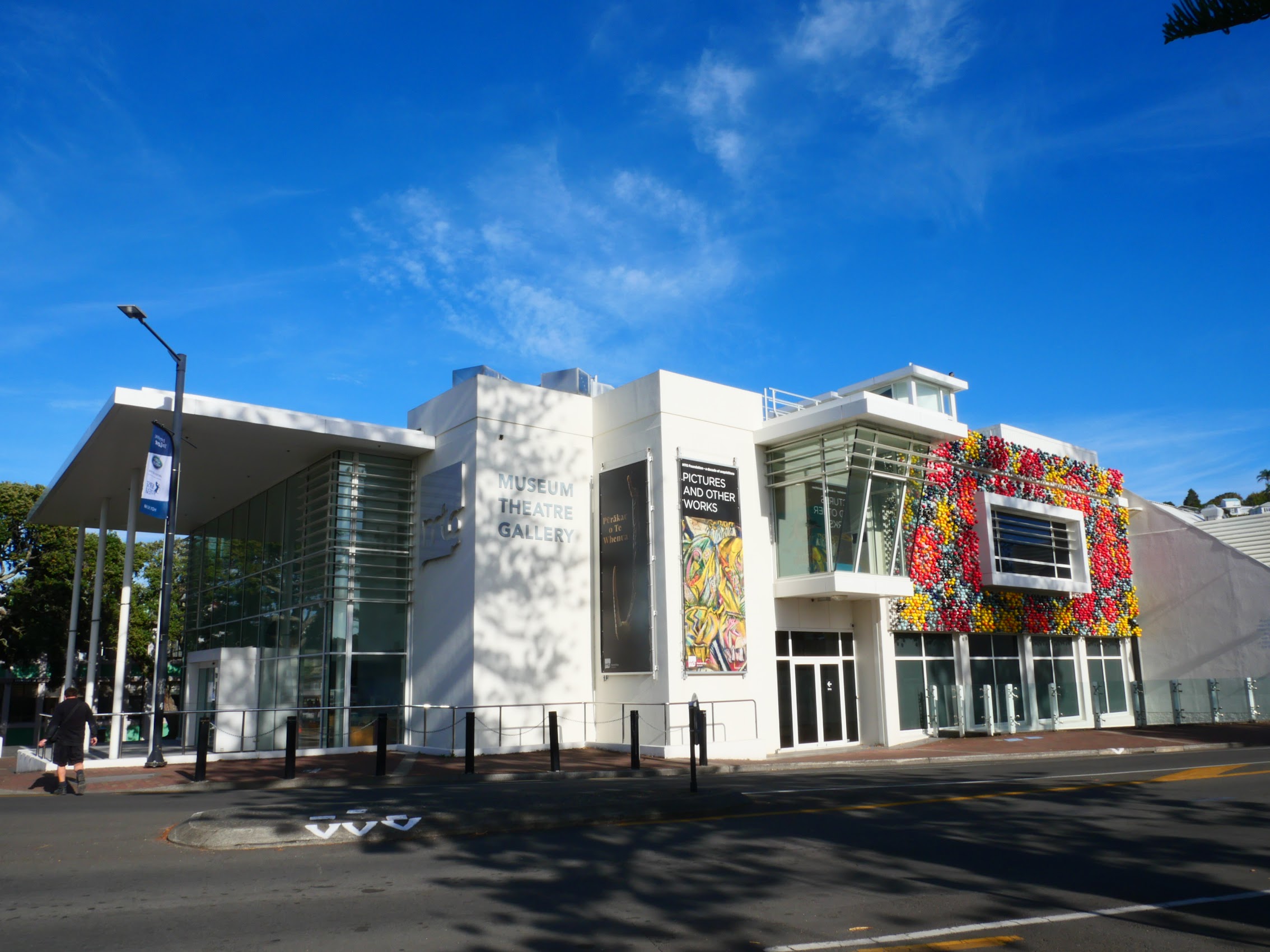
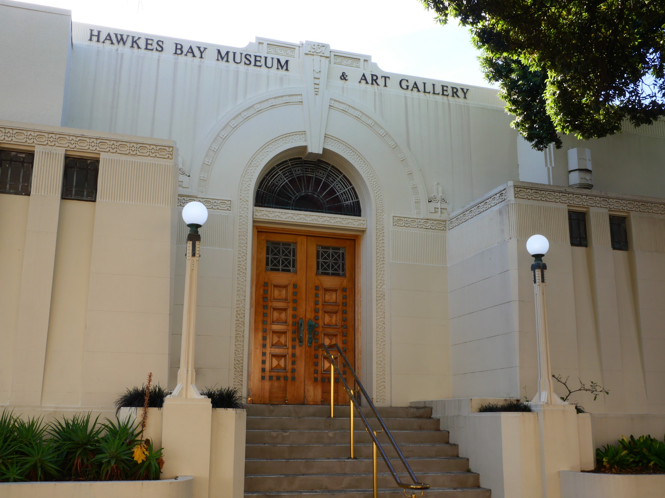
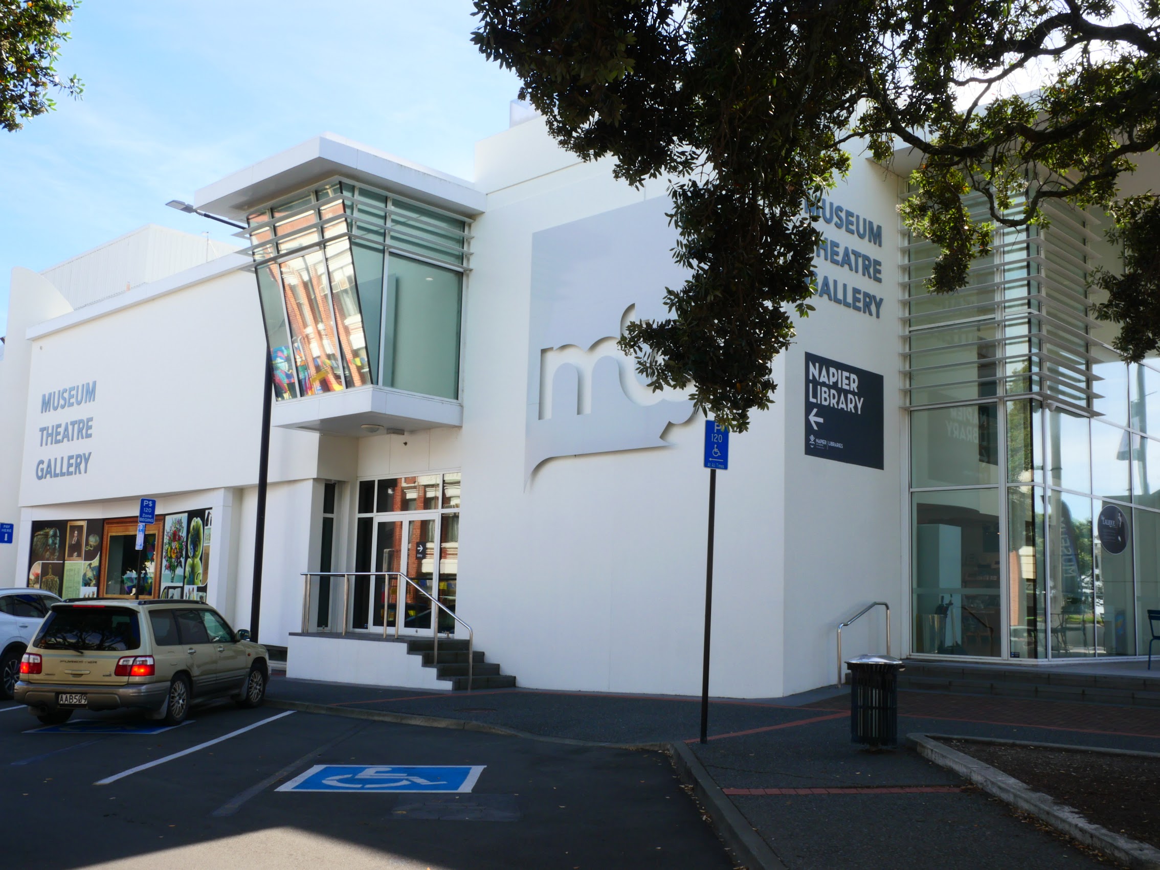
For me, probably the most interesting building in town was the MTG (Museum/Theater/Gallery) Hawke’s Bay, which is actually three buildings. These include the 1937 Hawke’s Bay Museum and Art Gallery (an art deco masterpiece), The MTG Century Theatre, a modernist concert hall designed by leading Hawke’s Bay architect Guy Natusch, and a 2013 project designed by architect Richard Daniels which is ostensibly a gallery addition, but which also unifies the three buildings into one beautiful and striking facility which, together with the Dome and Masonic Hotel create an amazing entranceway to the downtown Napier shopping district.

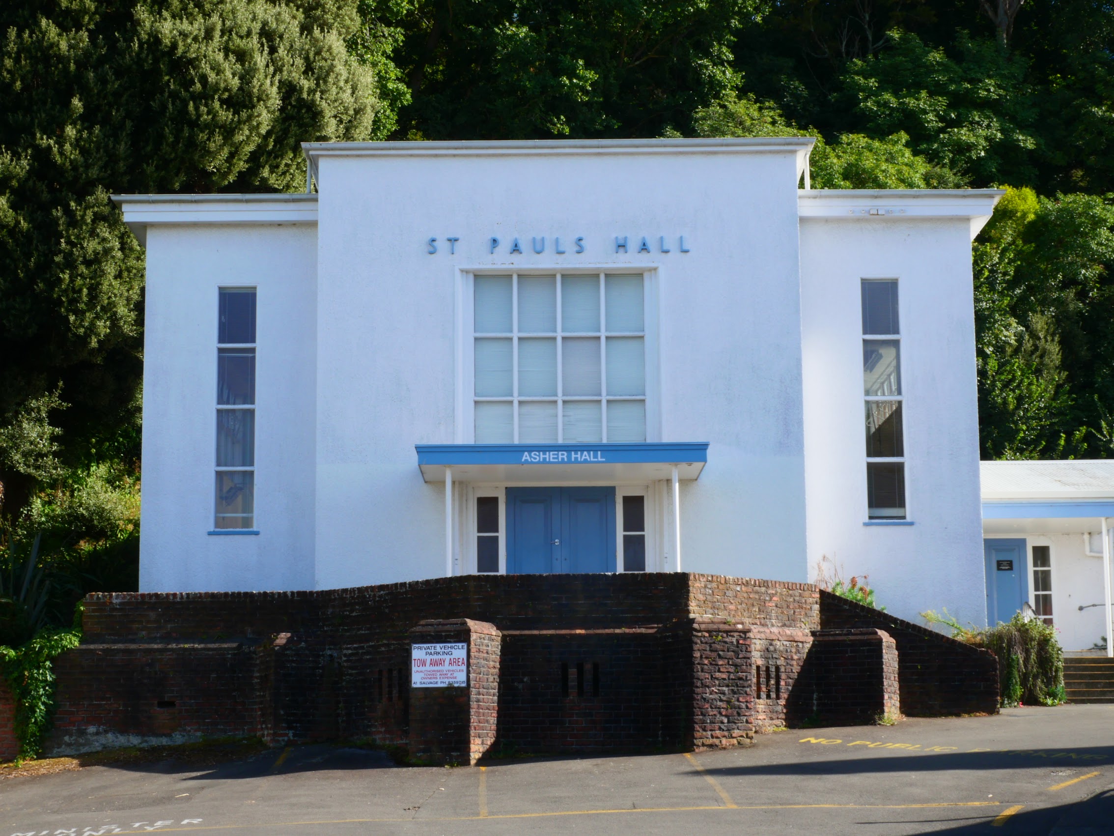
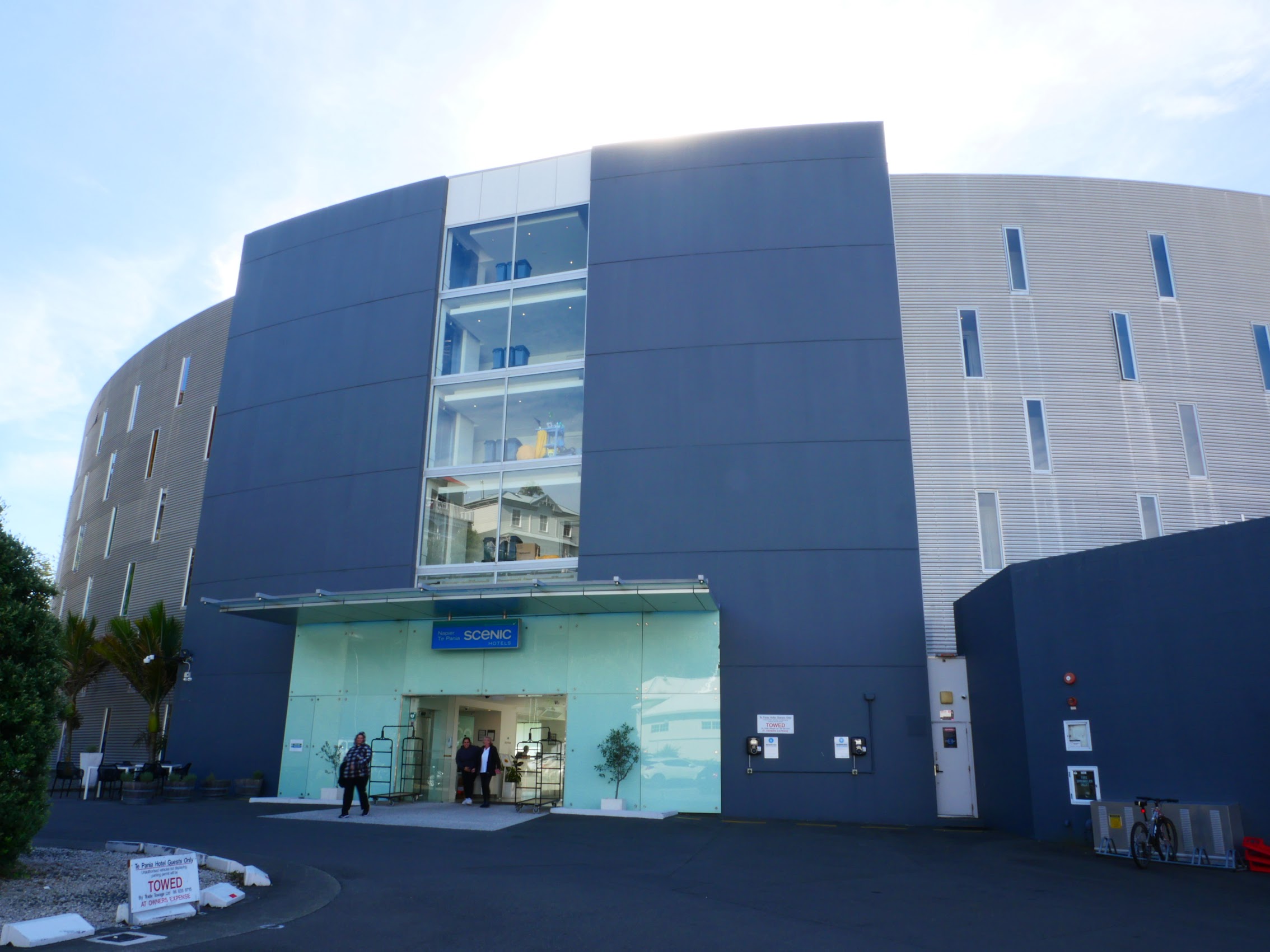
In addition to the MTG, there were some other interesting newer buildings, including St. Paul’s Hall (1952) a church hall which appears to have been inspired by Frank Lloyd Wright’s Unity Temple and the Hotel Te Pania, a Post-Modern design reminiscent of the work of Philadelphia architect Robert Venturi.
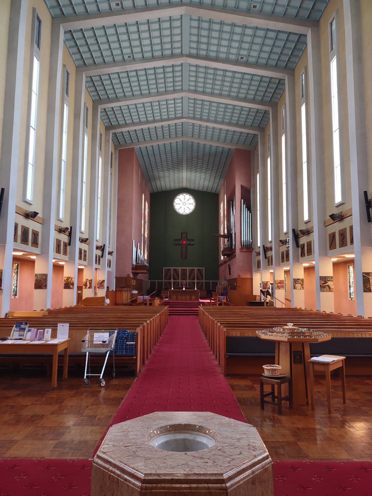
Of particular note was the “new” St. John’s Cathedral, located on the northern edge of downtown Napier. The original church, which was completed in 1890, was destroyed in the 1931 earthquake with a temporary facility serving its congregation for over 30 years before a permanent replacement was constructed in 1965. The Cathedral is arguably one of the most interesting and beautiful structures in Napier representing a bit of a fusion between Art Deco and Modernist design.
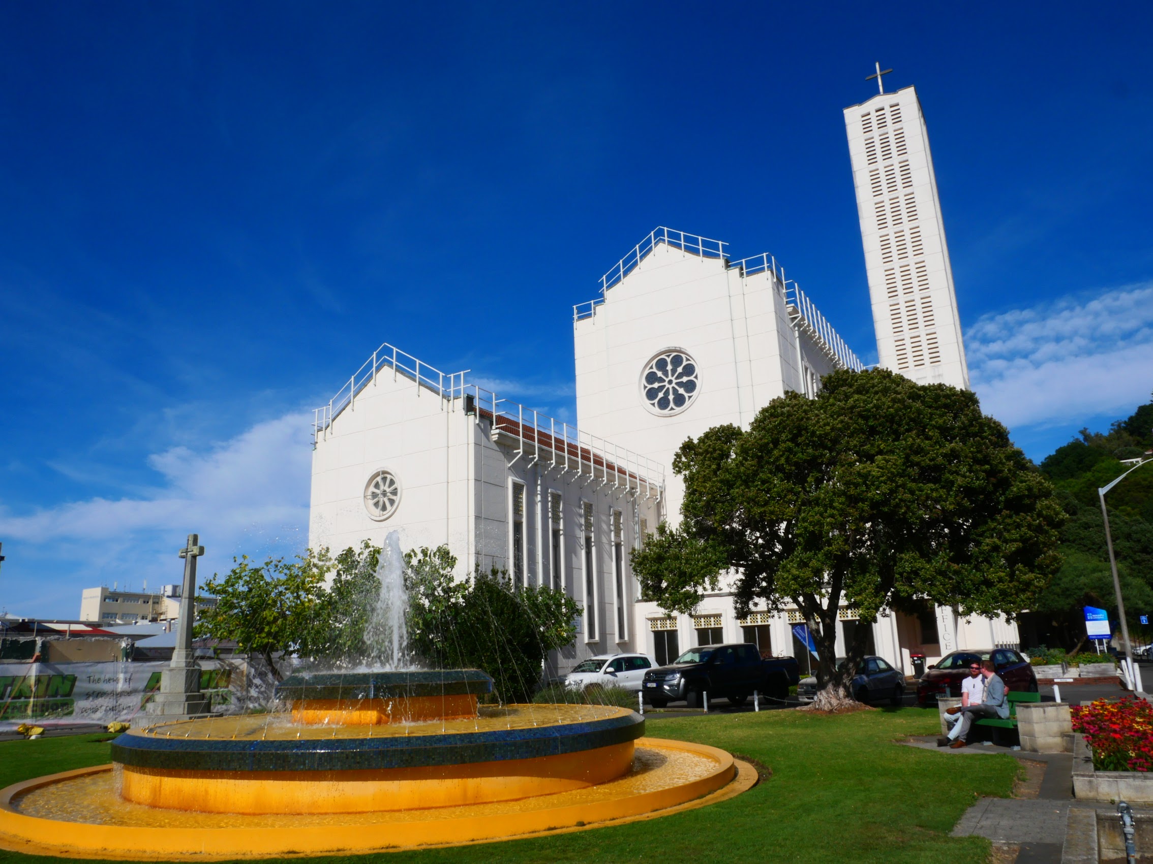
(Unfortunate footnote: I just read that the building has been determined to be structurally deficient with $15M in structural work required. The church, which typically has no more than 50 congregants and cannot afford the cost of repair is apparently looking to sell to a private entity with the notion of turning the sanctuary into an office building? https://www.stuff.co.nz/nz-news/350443638/napiers-earthquake-prone-cathedral-may-be-sold-turned-offices )
Survivors
As I alluded to earlier, there are also a variety of notable structures which predated and somehow survived the 1931 earthquake and subsequent fire. These include the Trinity Methodist Church (1876), a wood-framed structure which was the only church in central Napier to survive the earthquake and the subsequent fire. Apparently (and miraculously?), the wind direction changed just before the fire reached the church.
The Hawke’s Bay Club (1906) is another wood-framed structure that was relatively unscathed and served as a headquarters for emergency workers following the disaster.
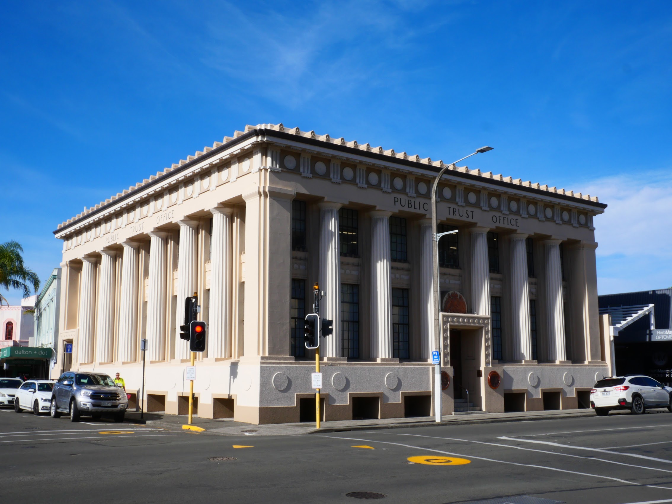
The Public Trust Building (1922), a Neoclassical Greek Doric temple design, suffered damage but survived the 1931 earthquake and fire due at least in part to its then-innovative fire-proof construction.
The County Hotel Building (1909) was originally constructed in 1909 for the Hawke’s Bay County. It is now the only example of Victorian-Edwardian classical style that survived the devastating 1931 Napier earthquake and really is a pretty unique building. (Oddly reminiscent of early post-modern Michael Graves though it predates him by decades.)

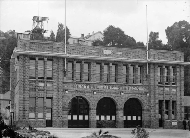
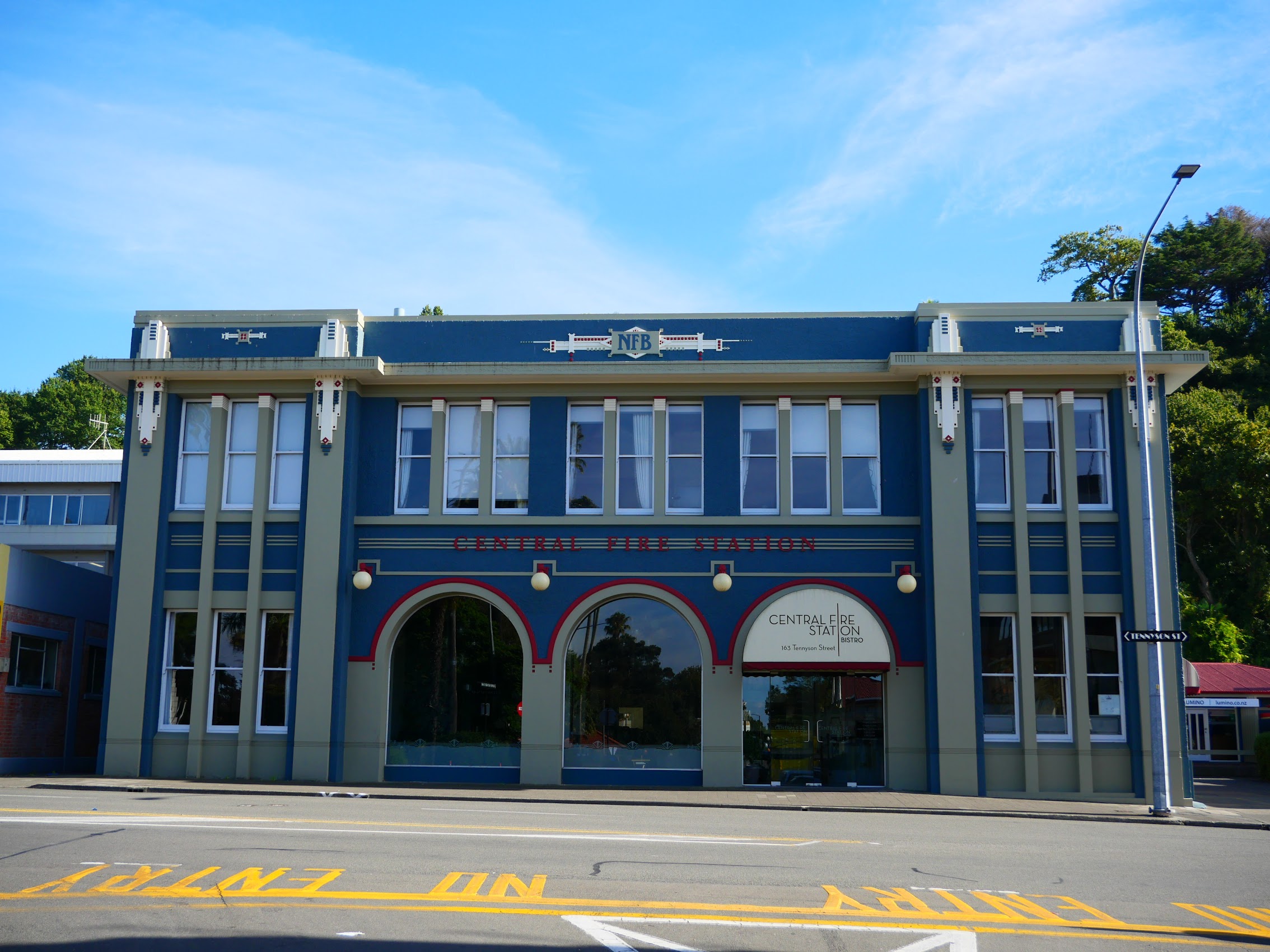
Interestingly, the Napier Central Fire Station (1923) designed by Napier architect Louis Hay survived the earthquake and fire but was partially demolished and reconstructed thereafter for other reasons: the front façade was rebuilt back from the road to allow for street widening. The new façade mimicked the design of the original brick façade but was elaborated upon in the Art Deco style. It served the city until 1969, when it was converted to offices and later became a bistro, the Central Fire Station Bistro, in 2019.
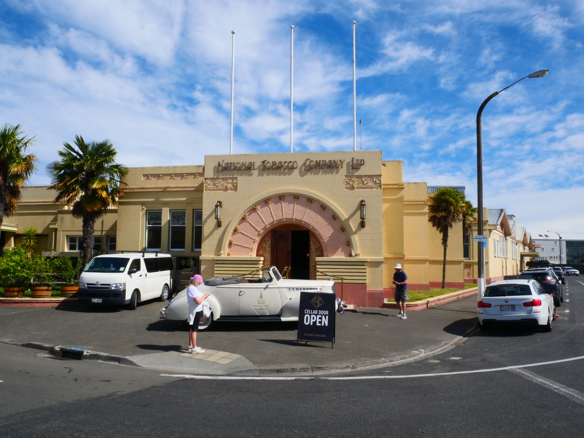
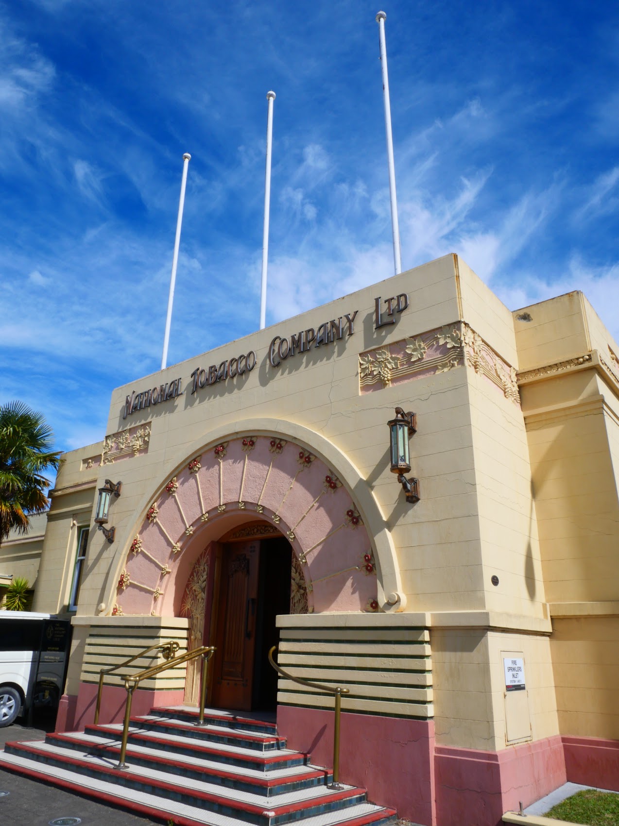
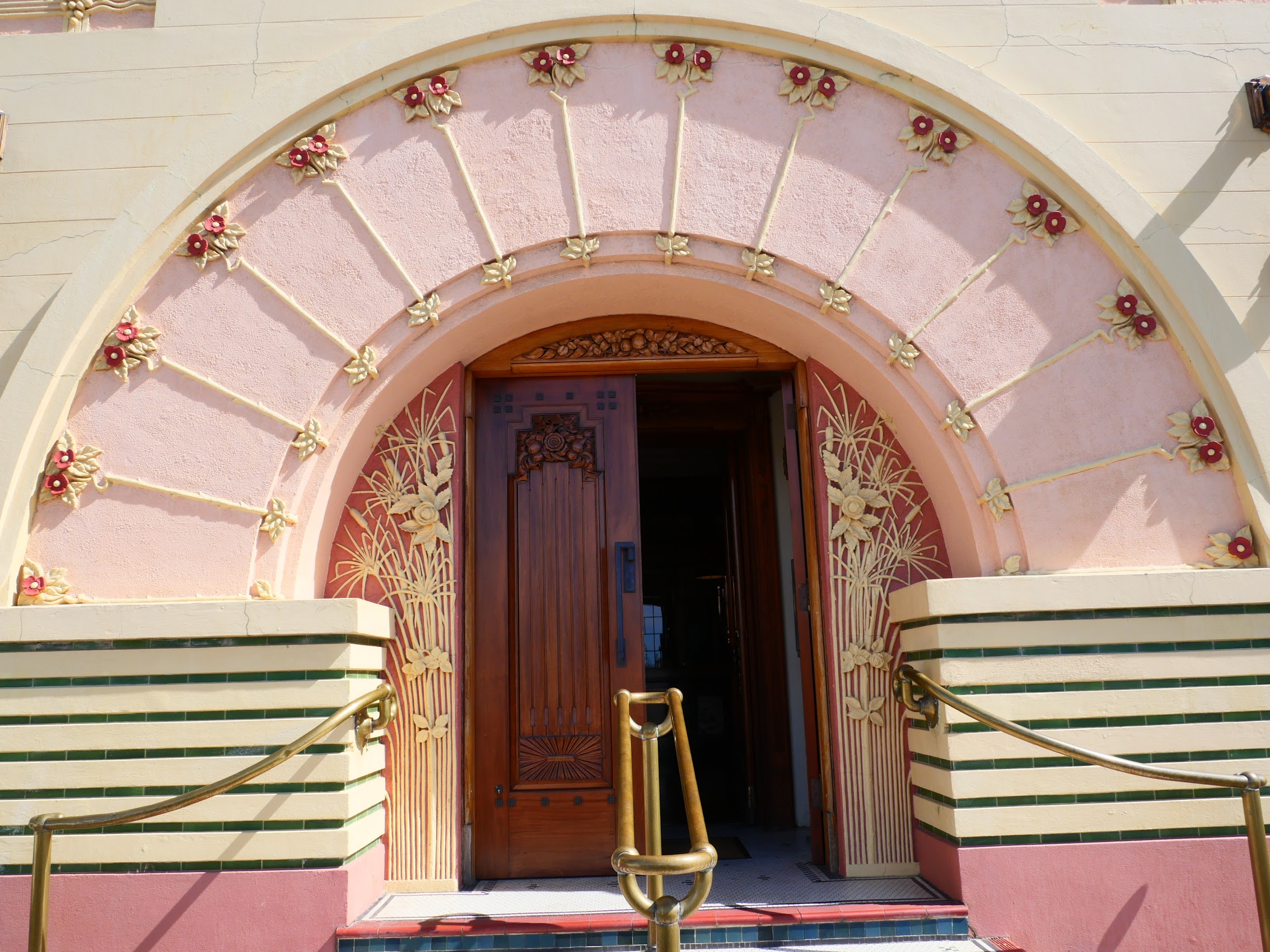
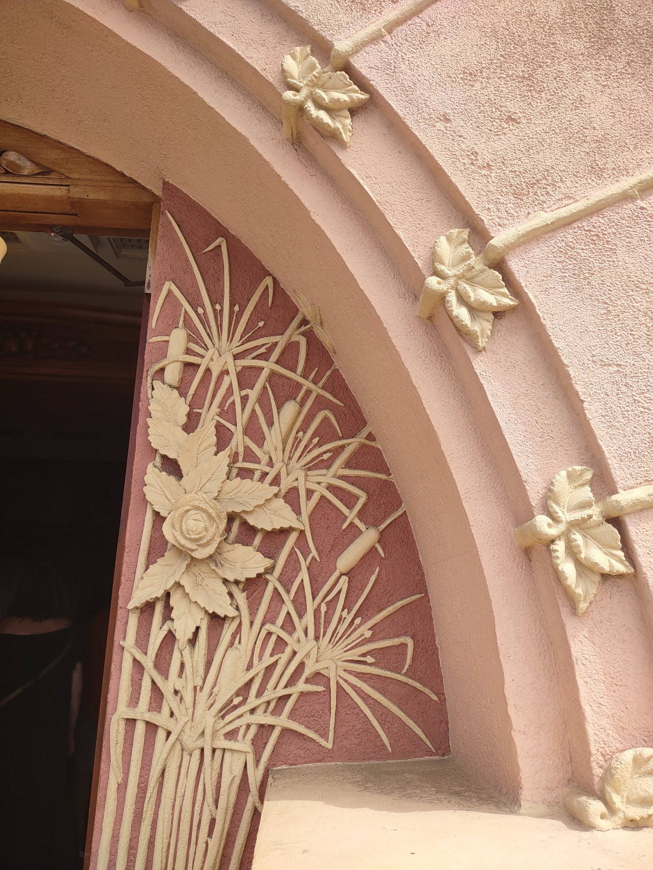
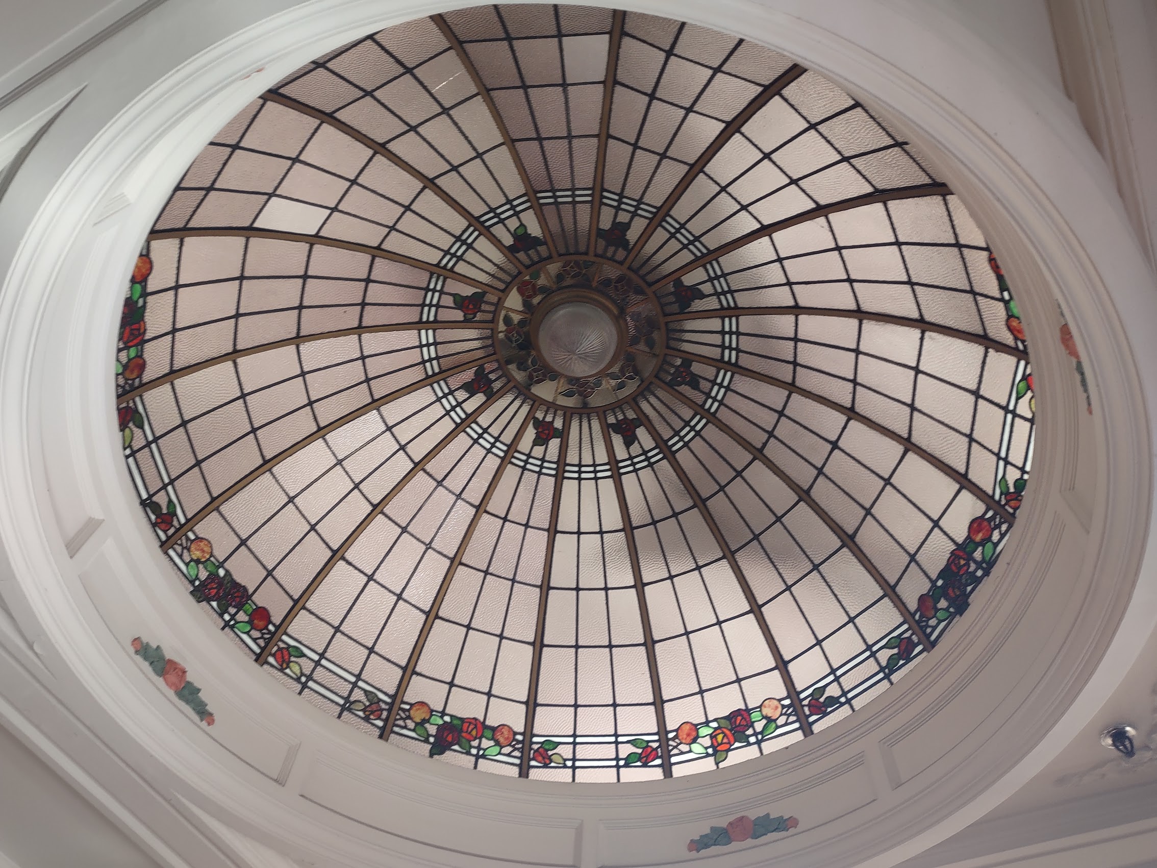
Probably the most beautiful and iconic Art Deco building we saw in Napier was the National Tobacco Company building (1931) – which isn’t in downtown Napier but rather in the old port area near the neighborhood where we were staying. The building now houses a restaurant and the National Distillery Company where we did a gin tasting as part of our wine tour later that day (see more below).

The Walk Home
After spending a couple of hours in downtown Napier, it was time for me to decide on a route home. Rather than take the shorter (but much steeper) route over Bluff Hill, I elected to take the longer (but flatter) walk around the Bluff. And so, I proceeded out of town up Marine Parade along the oceanside foreshore.
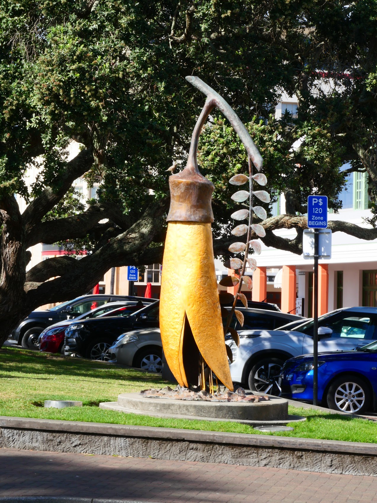
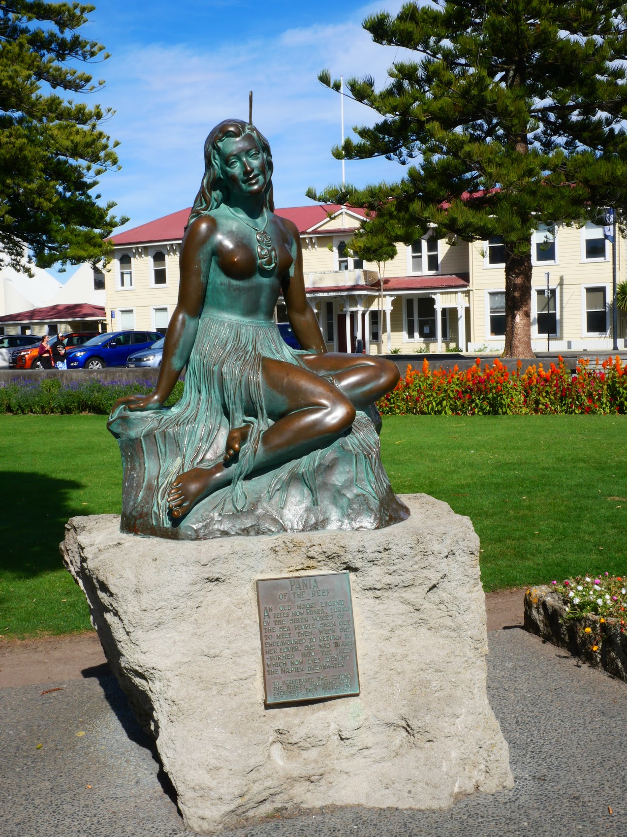
This area, between Marine Parade and Napier Beach is a promenade which features an Art Deco colonnade and band shell, parks and gardens, a visitor’s center, spa and other recreational facilities. There are also a number of sculptures including Pania of the Reef, a legendary Māori maiden who had a story similar to Hans Christina Anderson’s Little Mermaid. (The statue was in fact reminiscent of the Little Mermaid statue in Copenhagen, but without the fish tail.)
The walk offers views of the beautiful carpenter gothic houses on Bluff Hill and along the way I came across the Napier War Memorial Hall, a 1957 International Style sbuilding, designed by local architect Guy Natusch (Grandson of the founder of Natusch & Sons, who were one of the four firms involved in Napier’s reconstruction.)


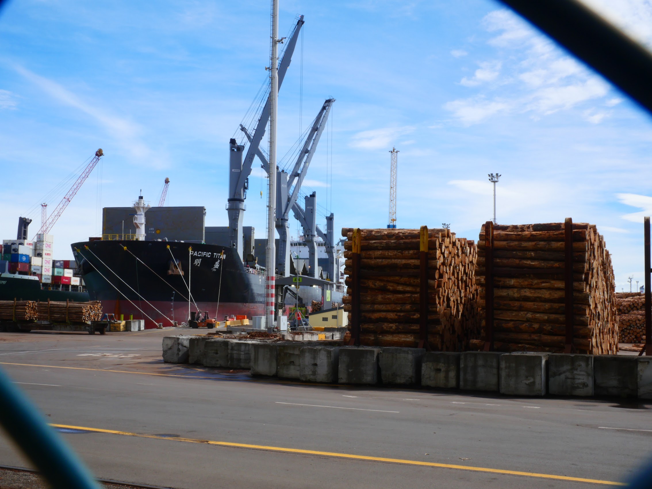
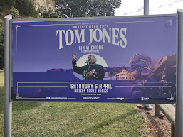
As I rounded the Bluff, I passed the new Port of Napier where there was quite a bit of activity going on, mostly loading timber which was coming in via a rail line and then being loaded onto ships. Near home I came across a billboard advising that Tom Jones (who I didn’t realize is still alive) was coming to Napier on April 6th. (Odd random fact for the day, but according to Colleen of interest to some readers.). Thirty minutes after leaving town I arrived back at our place on Hardinge Road, just in time to get ready for our afternoon wine tasting adventure.
A Wine Tasting Tour
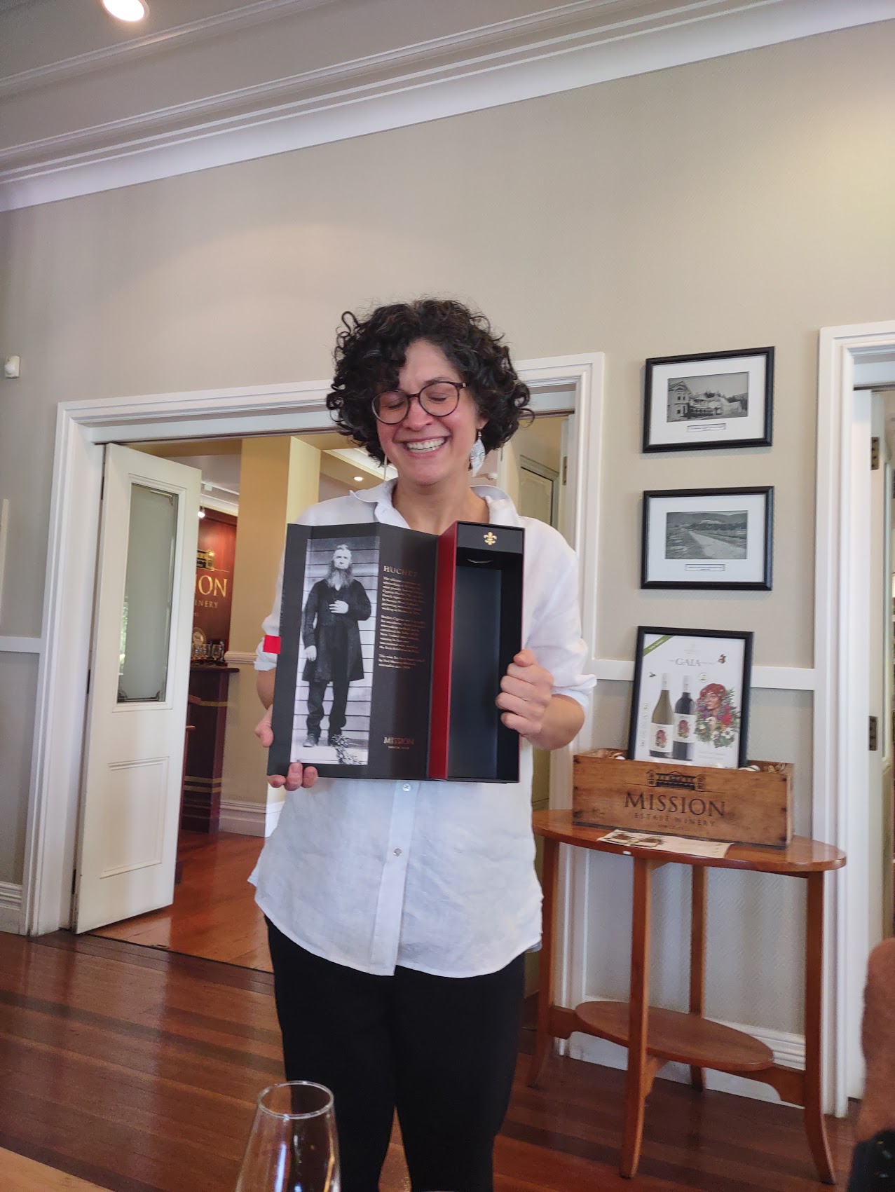
One of the excursions we had booked in advance of our trip (by consensus) was a wine (and gin) tasting tour. The Hawke’s Bay wine region is New Zealand’s oldest and second-largest wine-production region, so we were pretty excited at the prospect of tasting some good New Zealand wine and gin. The tour we booked included pick-up and drop-off from our place and, after picking up some other participants, we proceeded to our first stop, the Mission Estate Winery, located only 15 minutes away on the west side of Napier.
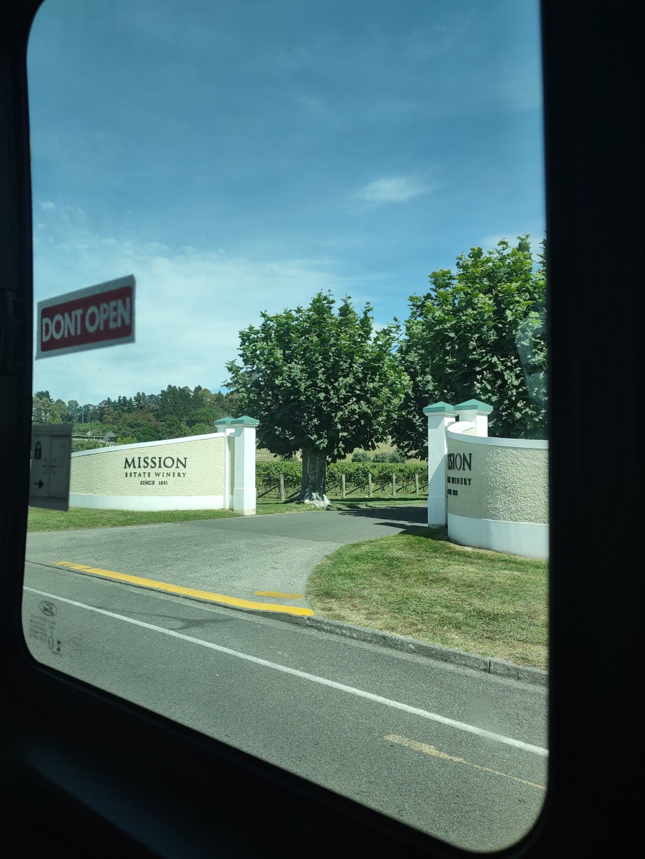
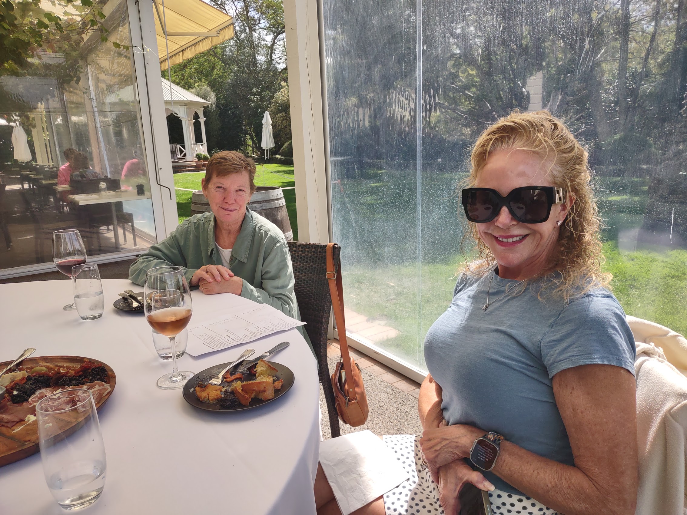
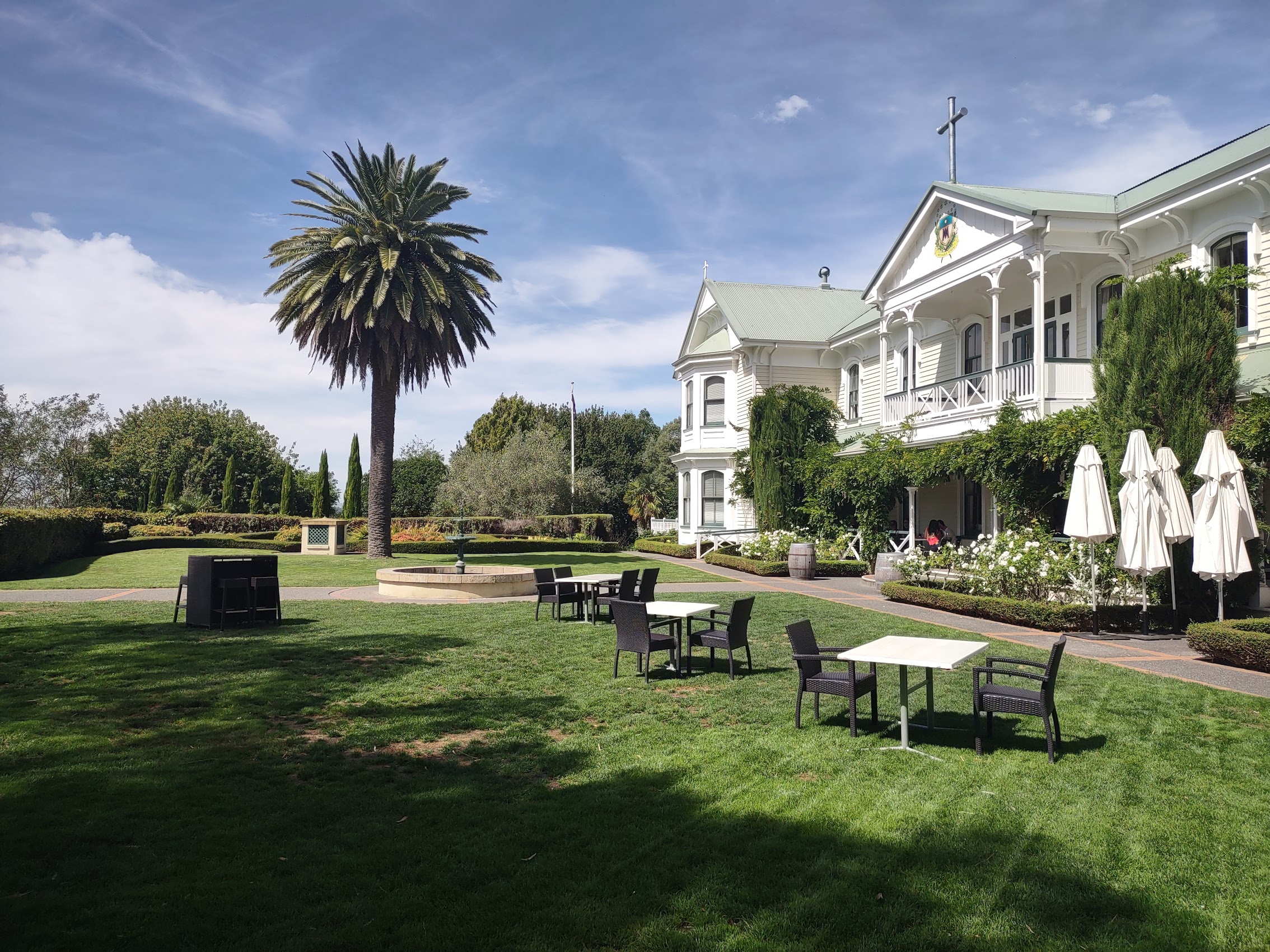
Mission Estate is New Zealand’s oldest surviving winemaking concern and is one of the largest wineries in the Hawke’s Bay region. Our tour began with a delicious lunch of bread, meat, and cheeses, served on the porch of the La Gran Maison estate house overlooking the vineyard accompanied (of course) with some very good wine.
Over lunch we learned a bit more about the winery which was established in 1851 by French Catholic Marist missionaries for producing sacramental wine. The winery was originally located south of Napier but disastrous flooding in 1909 prompted the mission to move its operations north to its current Taradale location where it had acquired 800 acres of land and vineyards were already planted. As part of this relocation, the two-story La Gran Maison (then the order’s enormous seminary building) was sawn into 11 separate pieces and transported 5 kilometres to its current location using logs and traction engines, a feat that took two days.

The 1931 Hawke’s Bay earthquake caused extensive damage to the mission estate, including the loss of nine lives when the stone chapel was destroyed. After the earthquake, the building was restored and continued to serve as the center for winemaking and as a seminary. The monks left the estate in 1982 when the winery transitioned into secular ownership, now being 100% New Zealand owned and operated.
Following lunch we proceeded with our wine tasting. I’ll just say up front that we don’t consider ourselves wine experts, but we do know what we like and, as Colleen doesn’t really care for white wine, we usually drink reds if we are drinking wine together. The Mission Estate tasting included a number of red wines featuring Cabernets, Merlot, and Syrah blends as well as a number of very tasty and aromatic white wines (which Colleen bravely sampled). We were particularly surprised by their Gaia Project Rose, a 50% Syrah 50% Pinot Grigio blend which even Colleen liked.
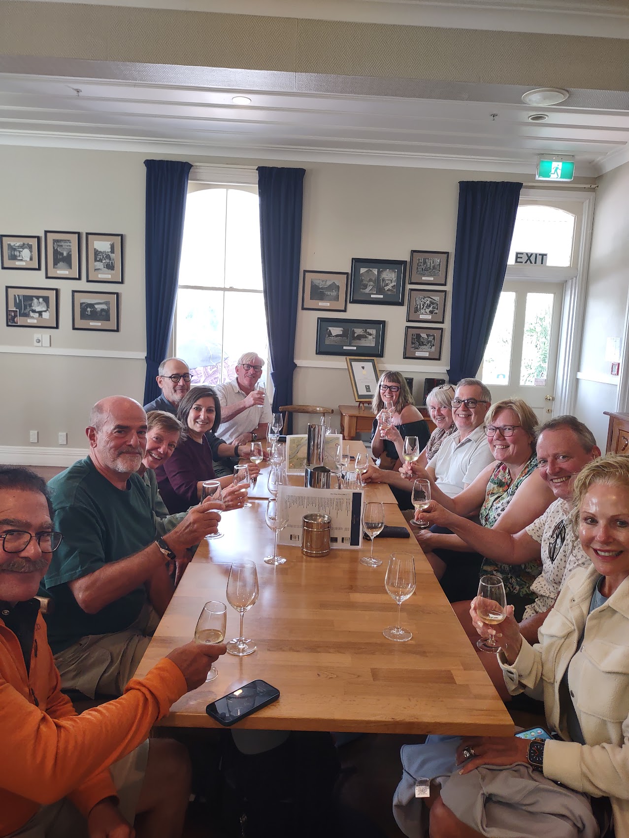
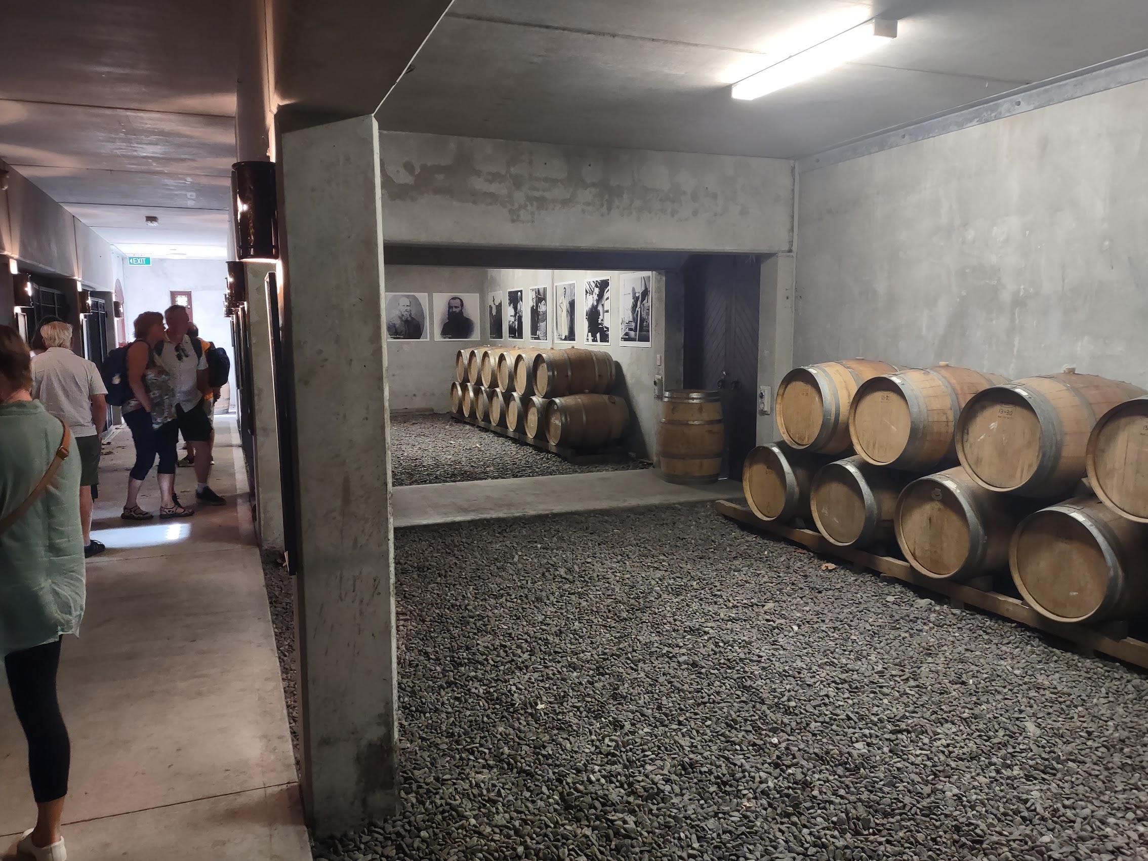
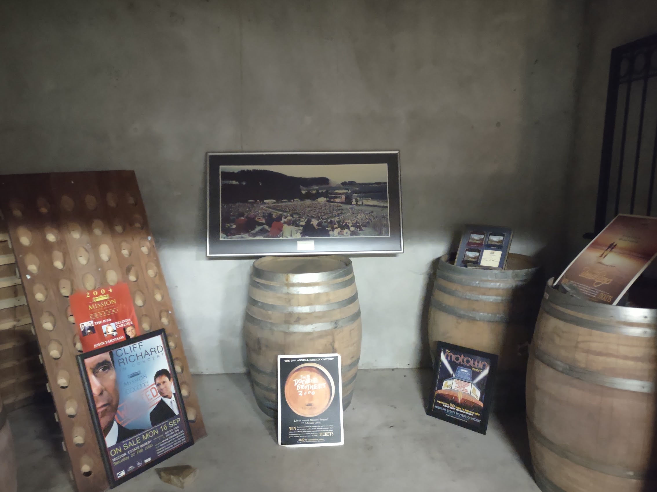
Our tasting concluded with a little time to explore the grounds as well as the basement of the cellars of the estate house which had some interesting displays and photos from the Marist days. On our way out, we were compelled to purchase a couple of bottles of their wine for later reference.

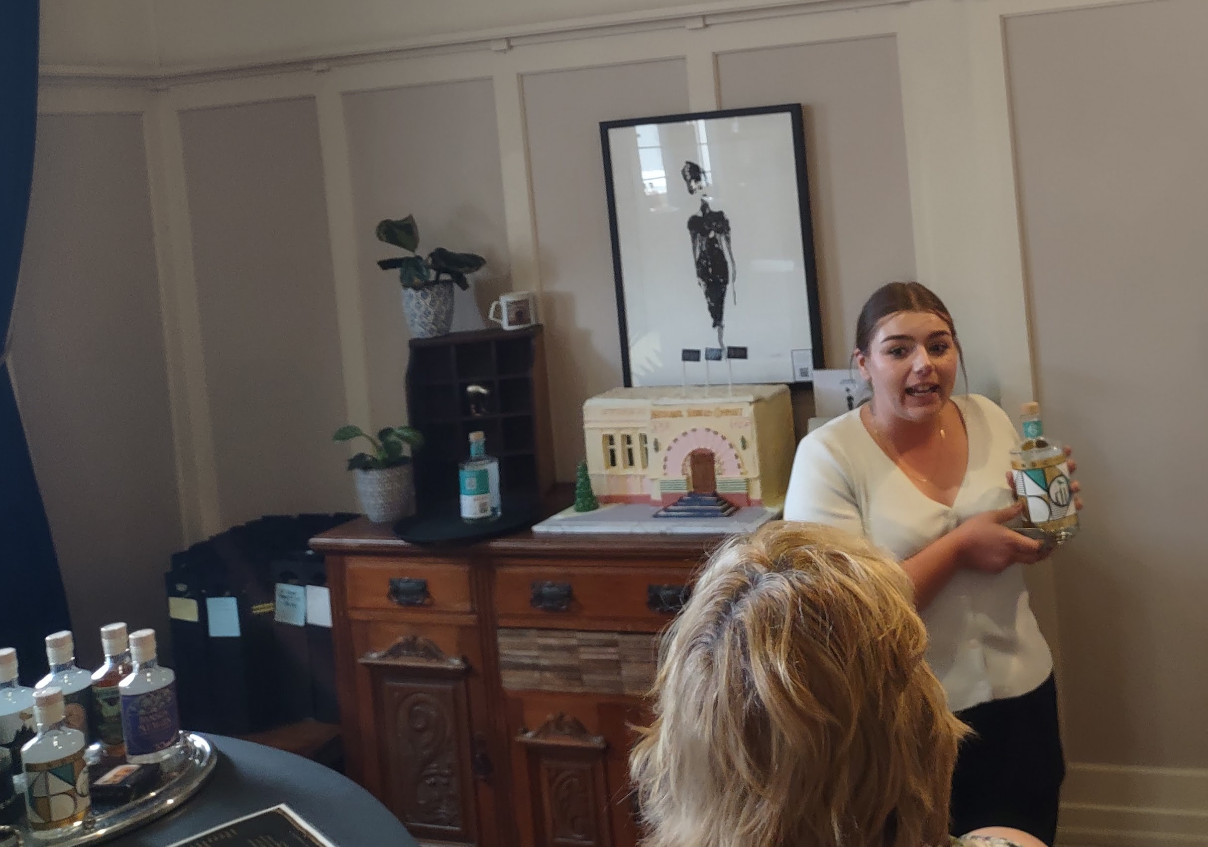
From Mission Estate we headed north to the old seaport section of Napier for a gin tasting at the National Gin Distillery located in the historic National Tobacco Company Building. As I mentioned earlier, the National Tobacco Company Building is arguably the most beautiful and interesting building in Napier. It was also designed by architect Louis Hay, and to my eye is really a blend of Art Deco and the more decorative Art Nouveau style which preceded it.


The gin tasting was a bit overwhelmed by the building tour, but we did manage to taste some and were surprised at how good some of them were (without tonic!). We were again compelled to purchase a bottle of infused gin which came in a handy travel-friendly size.

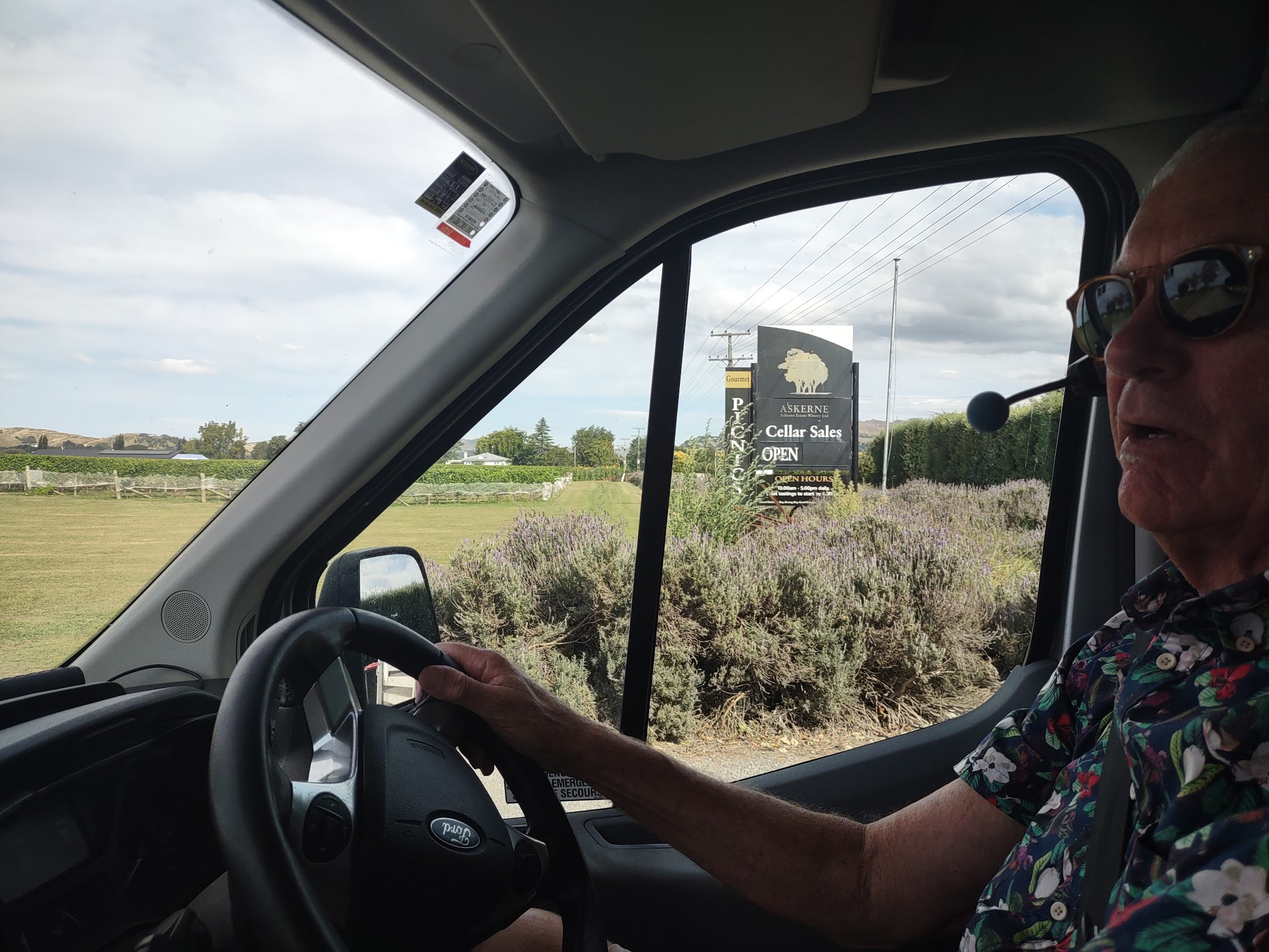
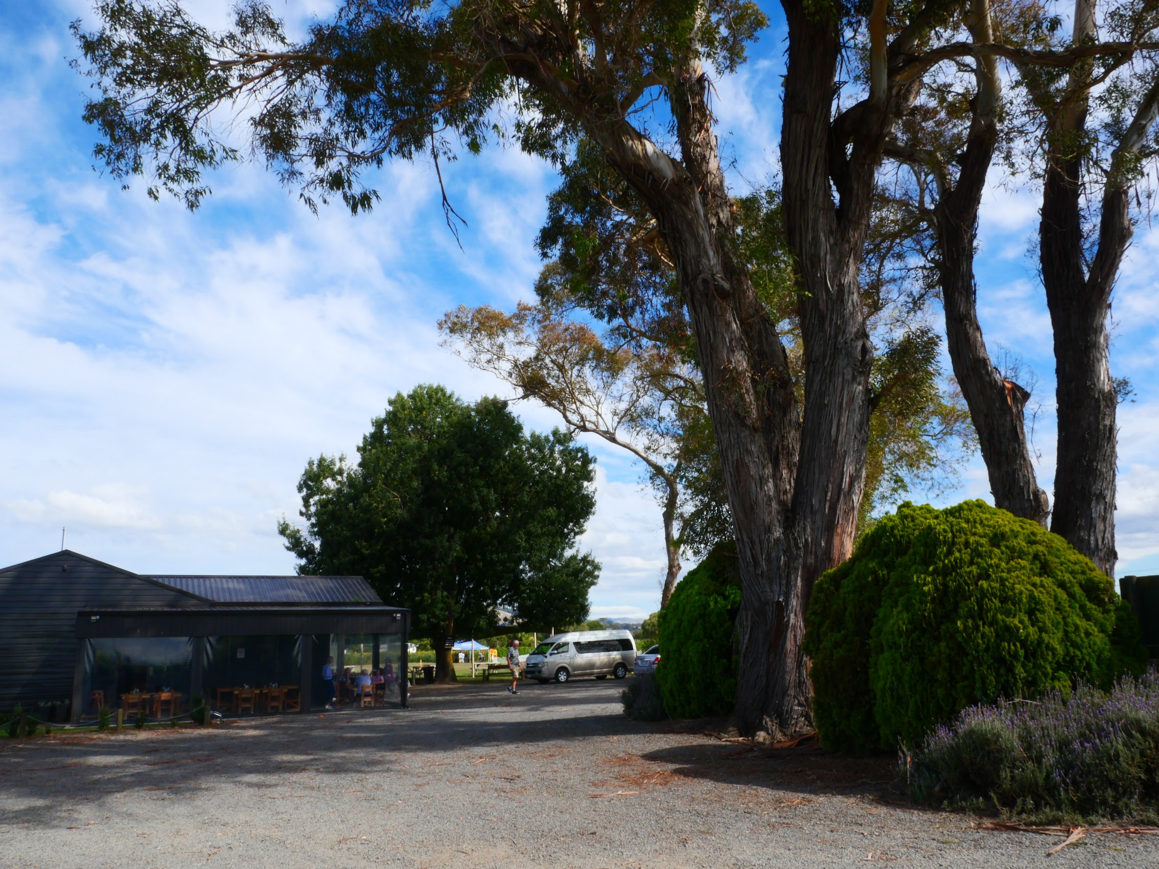
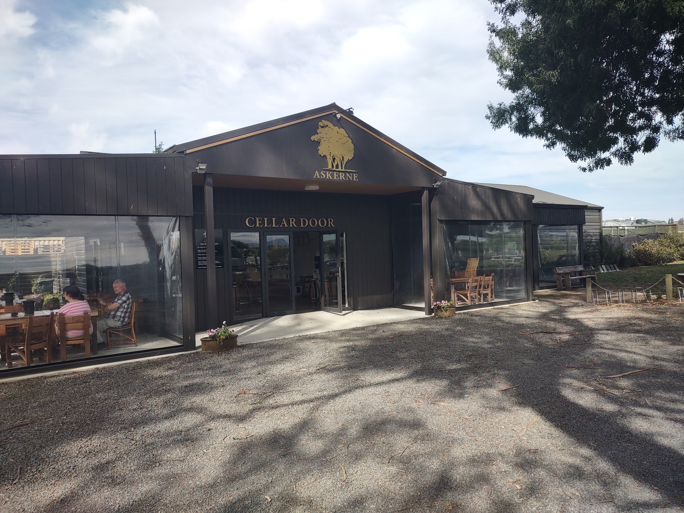
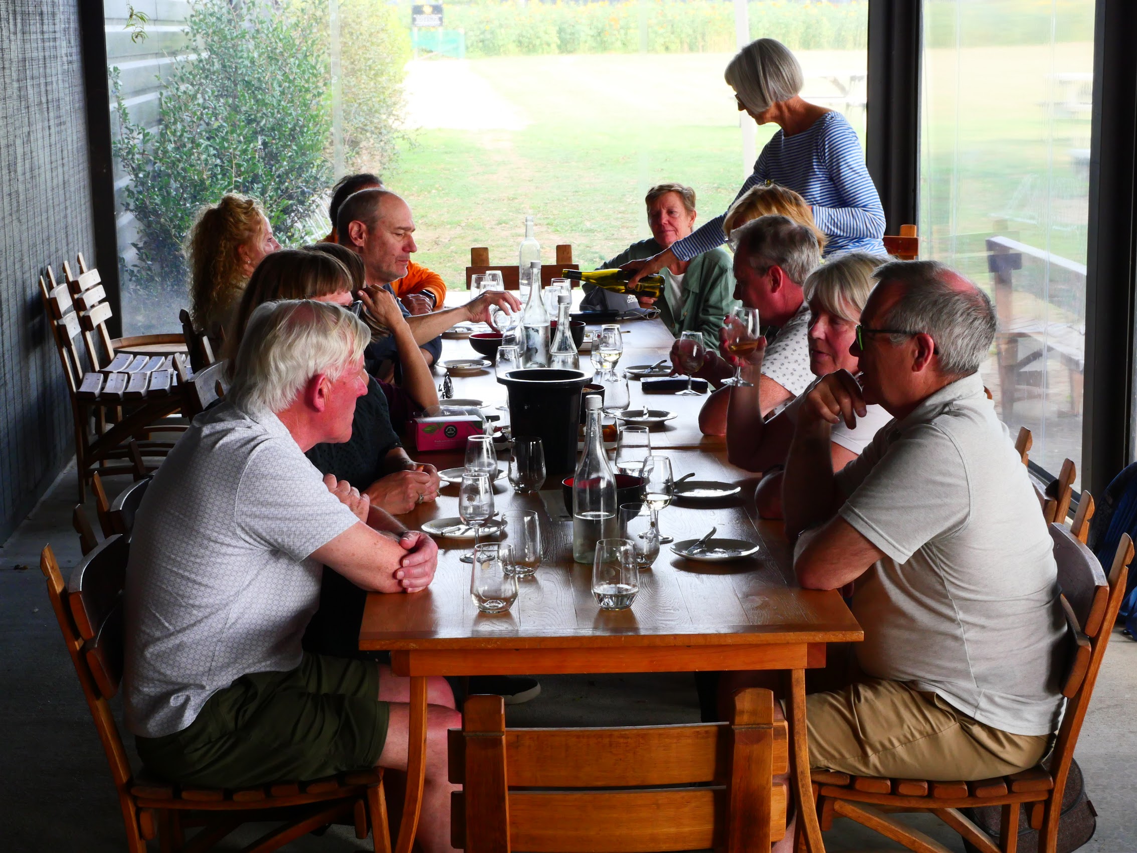
The last stop on our wine-tasting tour was the Askerne Estate Winery, a small boutique family-owned business that was established in 1993 by John and Kathryn Loughlin, who remain the owners today. (Kathryn hosted our wine tasting.) Askerne has a single 50 acre vineyard (by comparison, Mission Estate is over 800 acres), much of which is old Tuki Tuki River bed that was reclaimed from the river following the 1931 Napier Earthquake. The site has six different soils, predominantly river silts, sands and gravels. Askerne vineyard is located approximately three kilometres from the coast and the maritime influences on its climate is reflected in their wines.

Askerne is well known for its aromatic white wines and Chardonnay, but has also had significant success with red and dessert wines. Of particular note during our tasting was the Askerne Estate CSM, a red wine made from Carménère, Shiraz/Syrah, and Mourvedre (hence the name CSM and, yes, we bought a bottle of that as well.) While both of the vineyards we visited were wonderful, it was interesting to see the contrast between the two in terms of scale and personality.

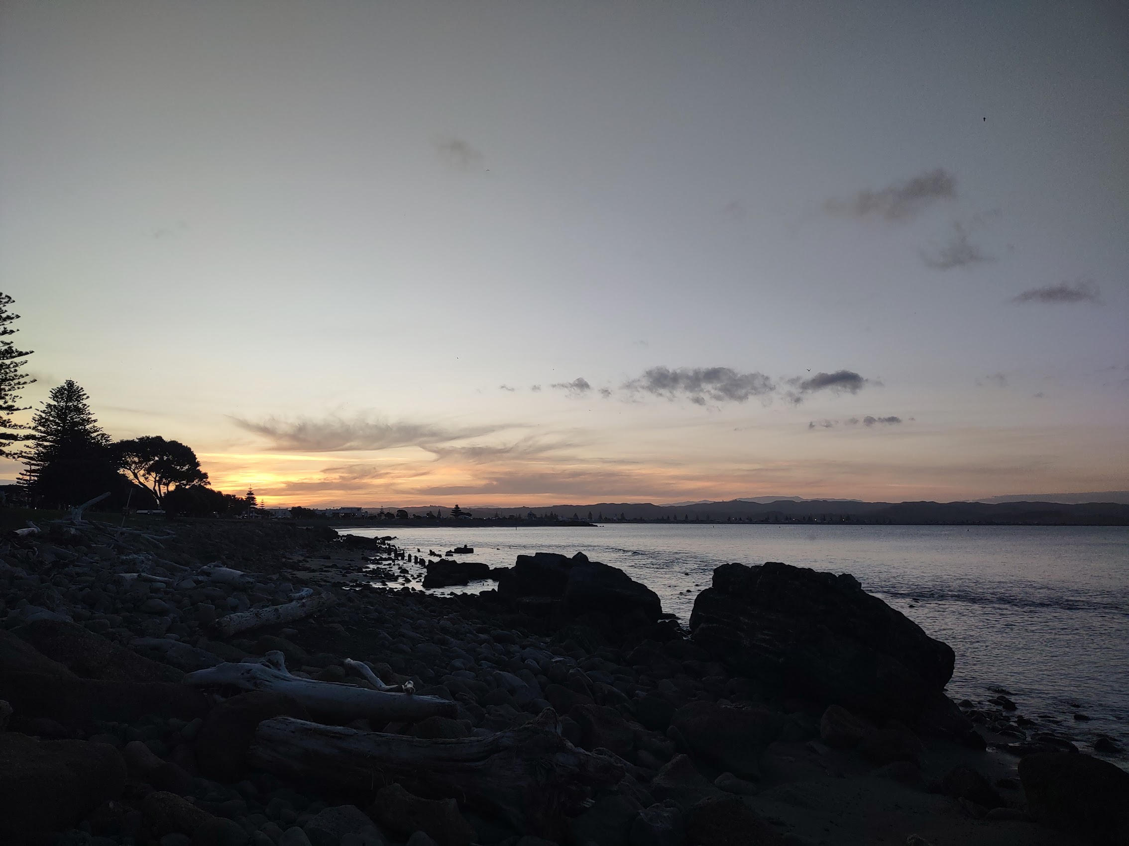
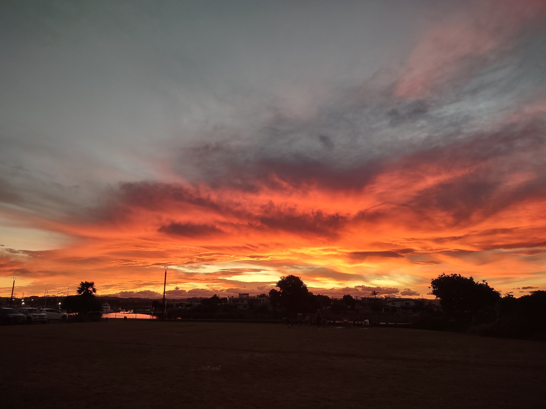
From Askerne, we were shuttled back to our stay to freshen up a bit before dinner. We made our way down Hardinge Road toward the old seaport to the sight of a really incredible sunset over Hawke’s Bay. We capped what had been a very good day with a wonderful dinner at a place called Milk & Honey, which someone had spotted earlier in the day, that included some very delicious Hawke’s Bay oysters.

Morning Shopping in Napier (Papa’s Got a Brand New Bag!)
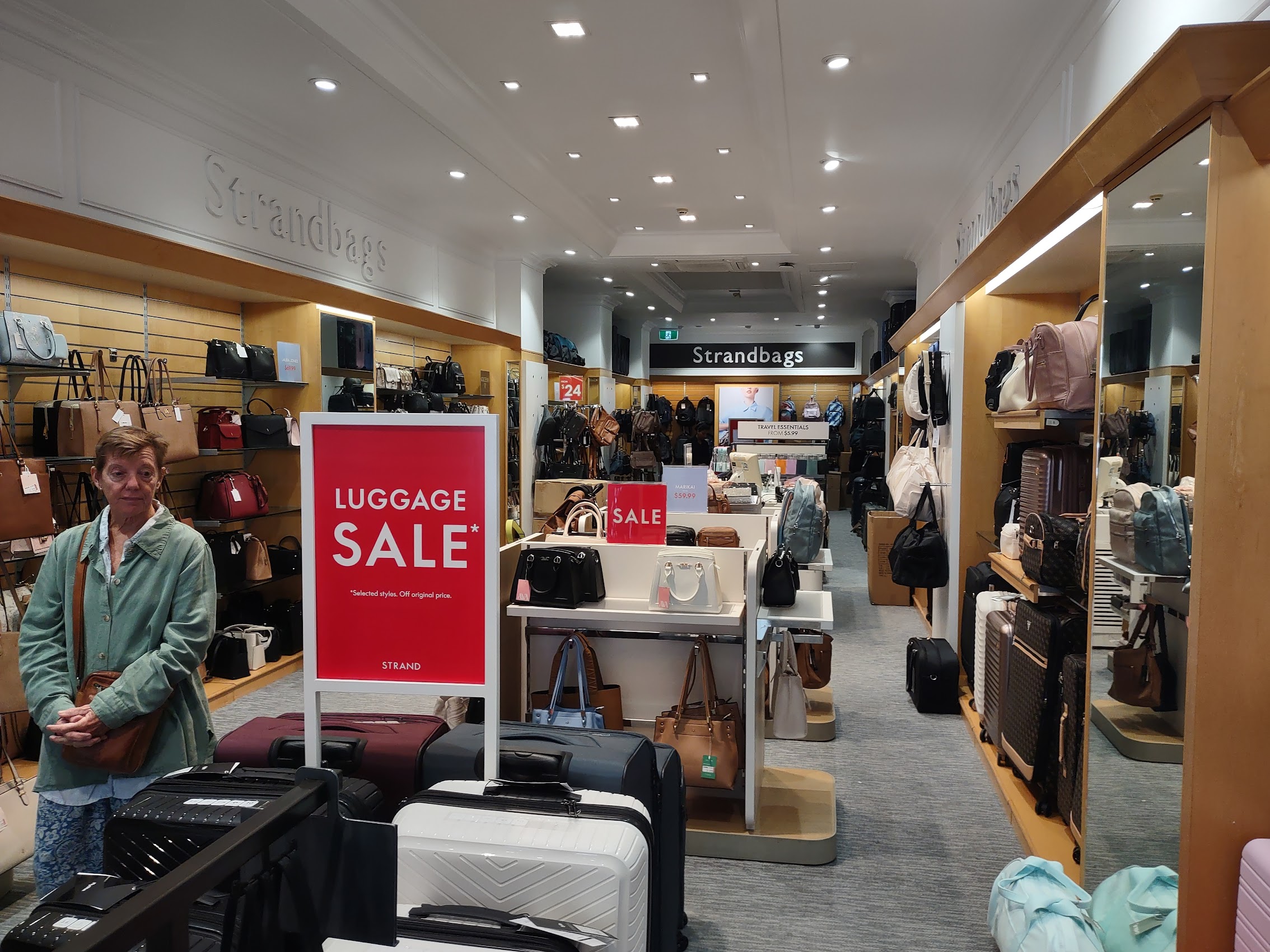
Before hitting the road for our next destination, we stopped in the Napier town center so that others could get a closer look at it and to take care of a couple of necessary shopping errands. At the top of my list was to find a replacement rolling bag as the zipper was beginning to fail on the one I had been using for many years of travel. I had spotted a pretty good luggage store during my tour of the town center the day before and we returned there to see what we could find.
After looking at a number of options, I went for one from a company called Antler, which we had never heard of (Antler is a high-end British luggage manufacturer better known outside the U.S.) which was super light, appeared super strong and well-constructed, came with a lifetime warranty (which seemed likely to be more beneficial as Antler has many more locations around the world than many U.S. manufacturers) and was on sale!.
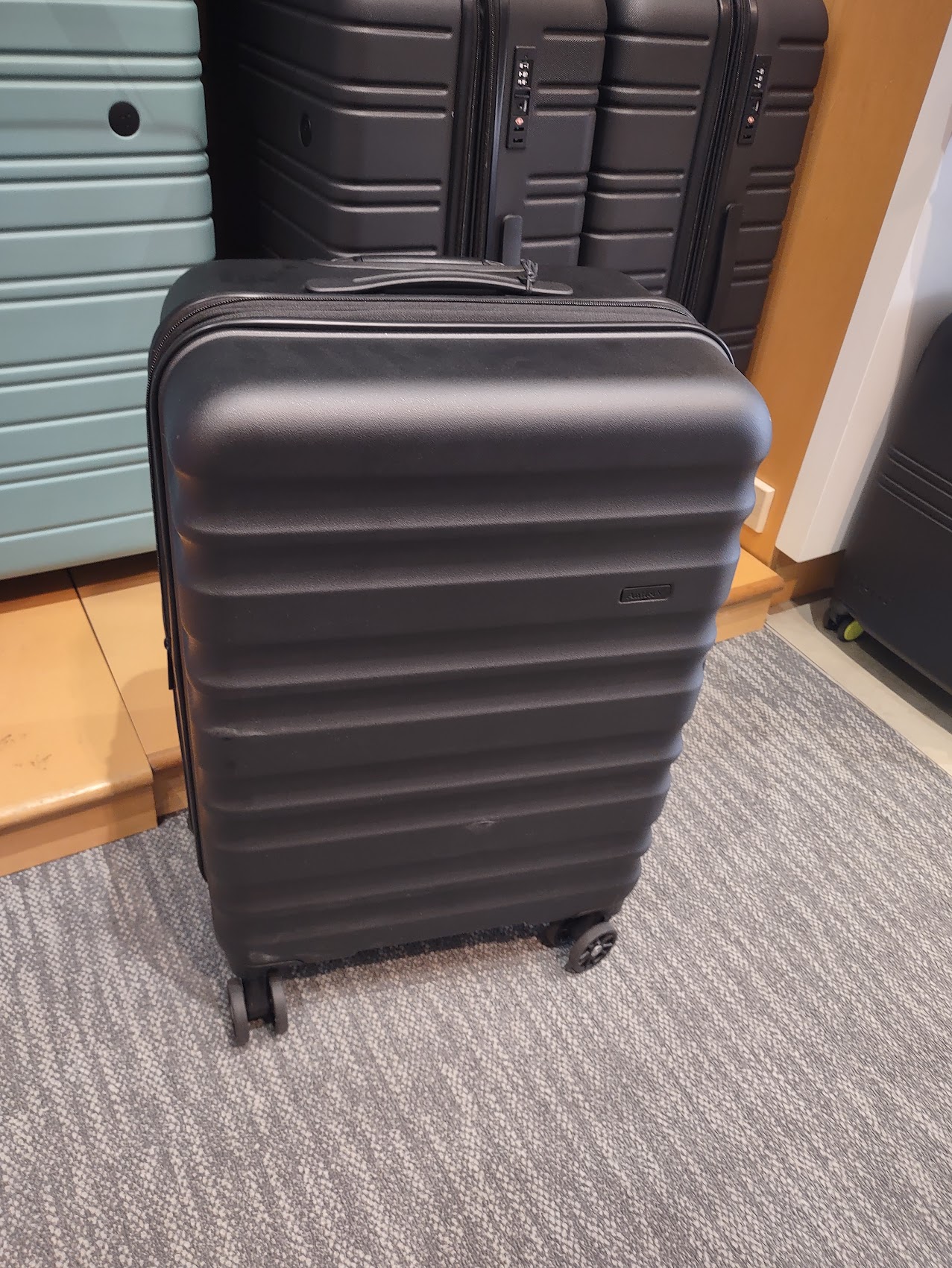
Based on our more recent experiences flying in this part of the world, when we did fly, it had proven cheaper to check bags than to carry them on, so I opted for a larger bag in the hope of making packing easier. (The larger bag also made life easier in the moment as I was able to put my old bag inside it rather than having to transfer all of the contents from old to new!)
We left my new bag for later pick-up and continued strolling and shopping and we did make one particularly note-worthy purchase. I had for some time been looking for a nice piece of coral jewelry for Colleen (it turns out coral is the gemstone for 35th wedding anniversaries, which we had celebrated in August). We came across a shop which hand-made necklaces and bracelets and had them make a necklace of beautiful red coral beads in a style selected by Colleen. We continued our strolling and shopping while the shop owner made it then picked it and my new rolling bag up on our way out of Napier which proved to be yet another cool (but maybe not so little) town in New Zealand.
Rotorua (Friday March 8th to Saturday March 9th)
With a population of almost 80,000 people (just a bit larger than Napier), Rotorua, a town set on its namesake lake is known for being a literal hotspot of geothermal activity. This beautifully peaceful lake has a violent history. One of several large volcanoes in the Rotorua region, its underlying magma chamber collapsed after a massive eruption around 200,000 years ago. The collapse created a circular caldera about 16 kilometres wide, which filled with water to form the North Island’s second largest lake.
While all of this was of some interest to us, we had selected Rotorua as a destination because it is also home to a living Māori village and the New Zealand Māori Arts and Crafts Institute, with traditional wood carving and weaving schools. Our hope was to get close to and learn more about the Maori culture in New Zealand.
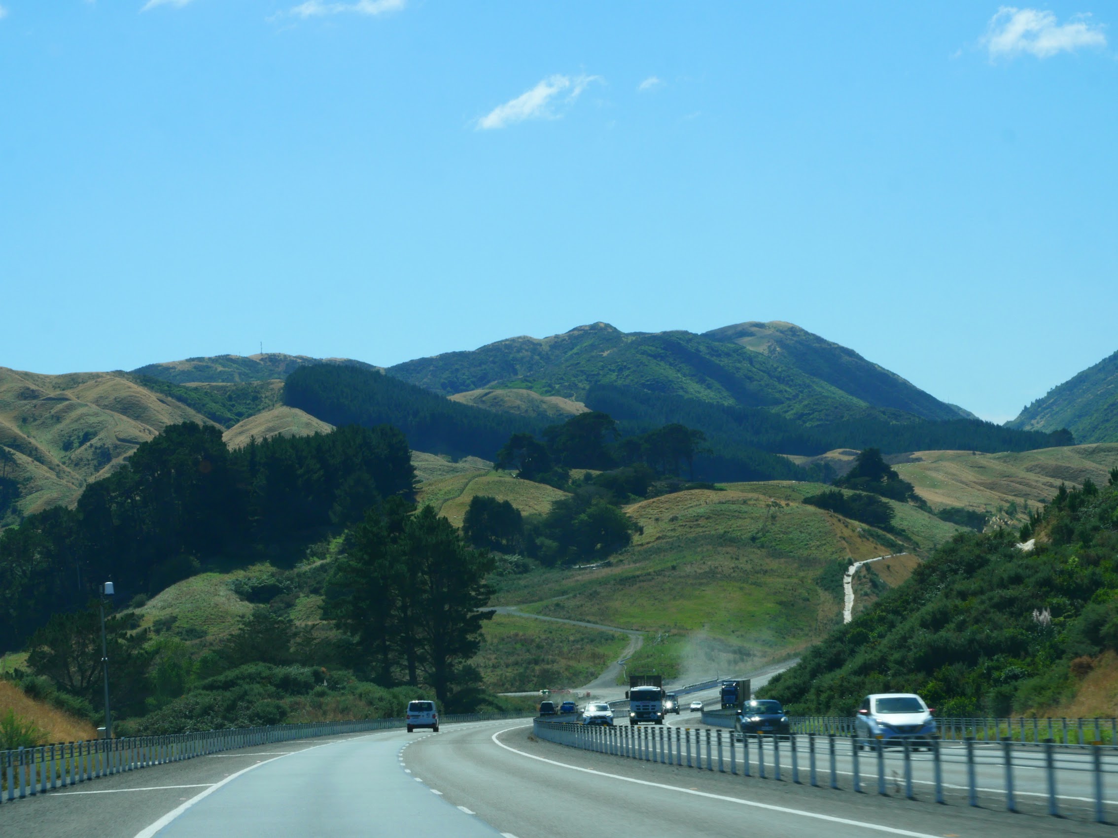
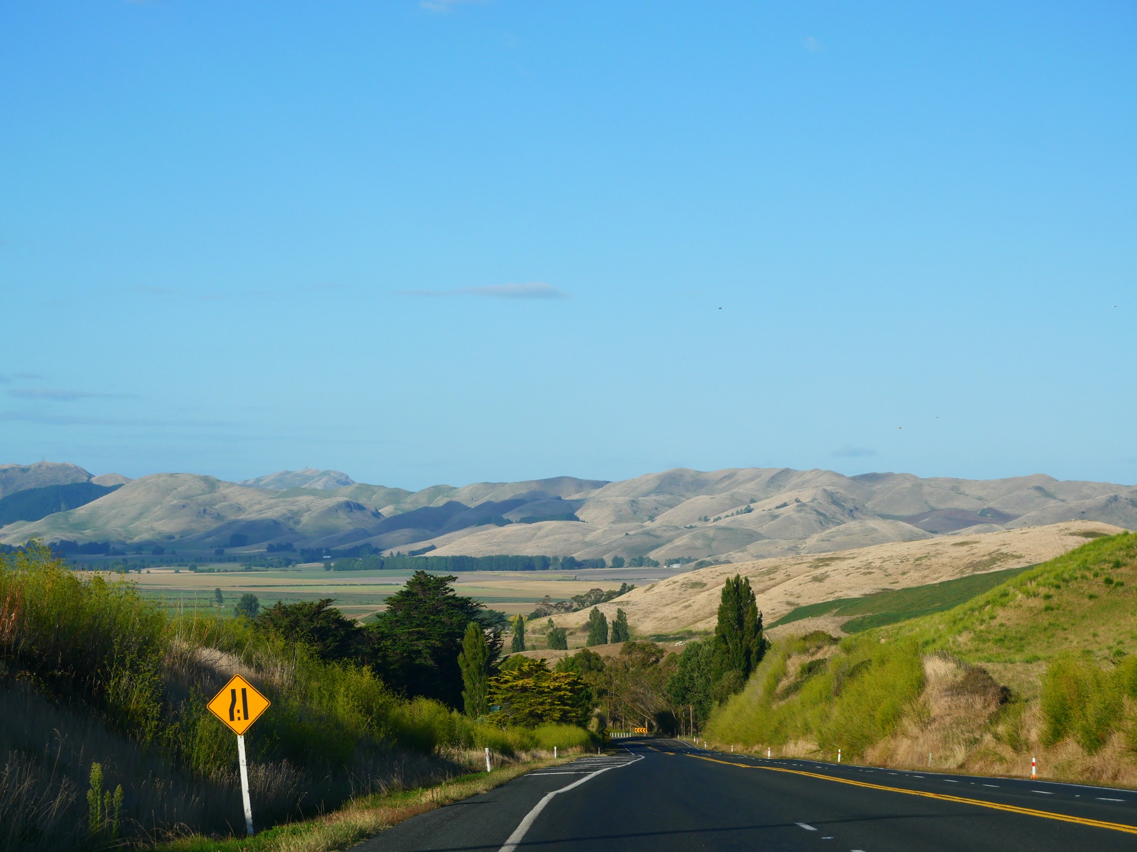
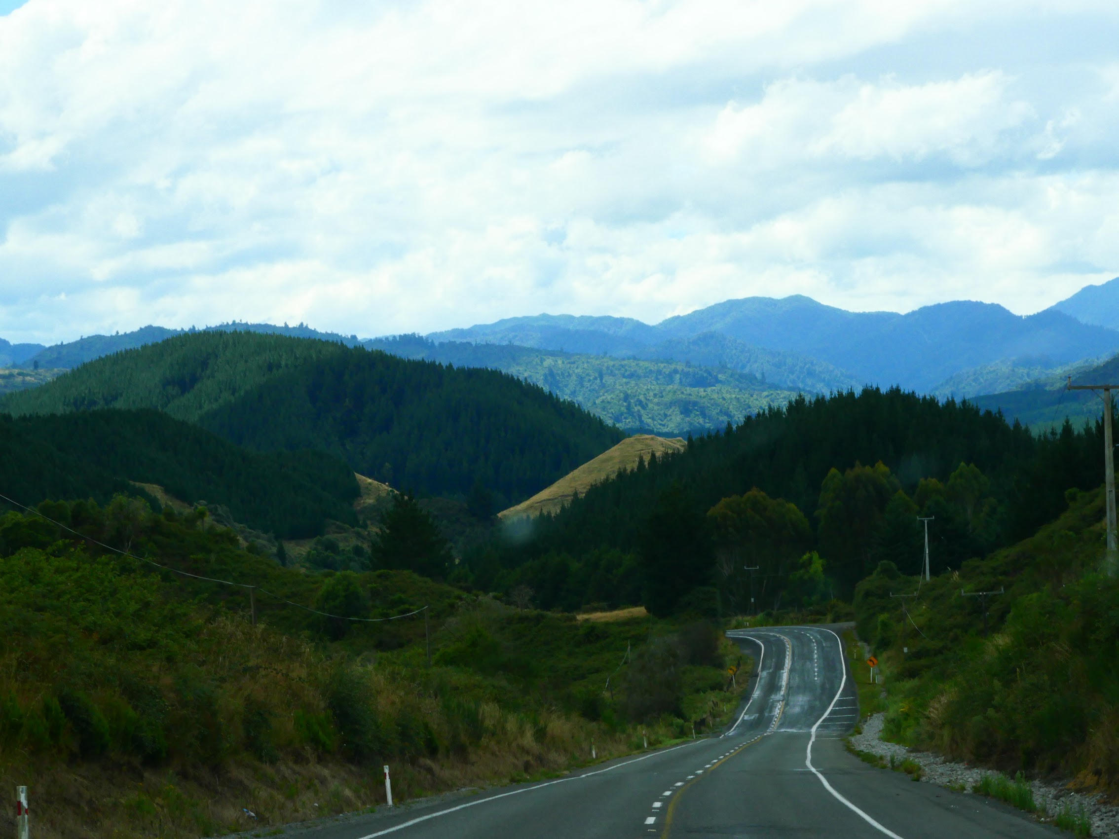
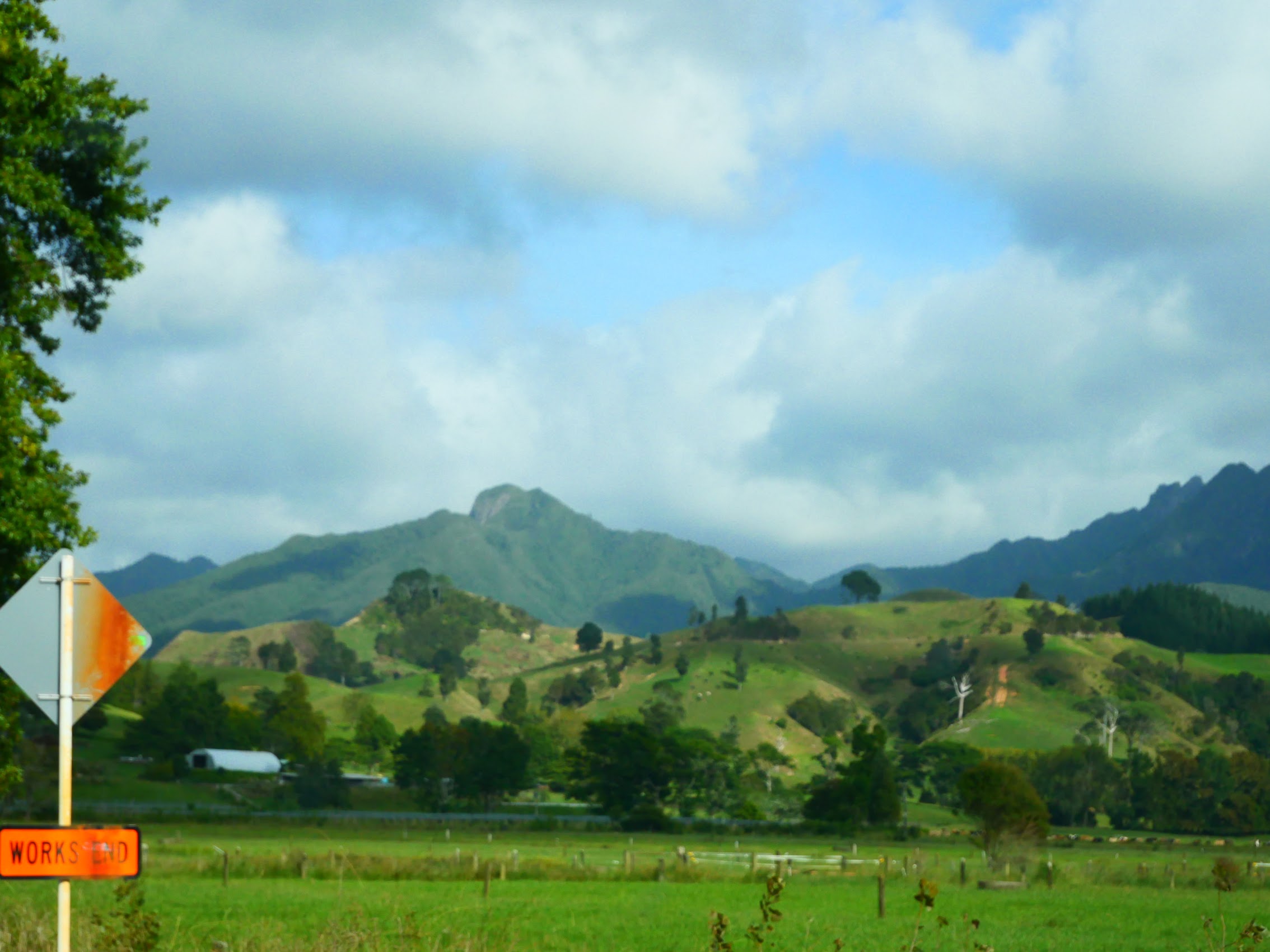
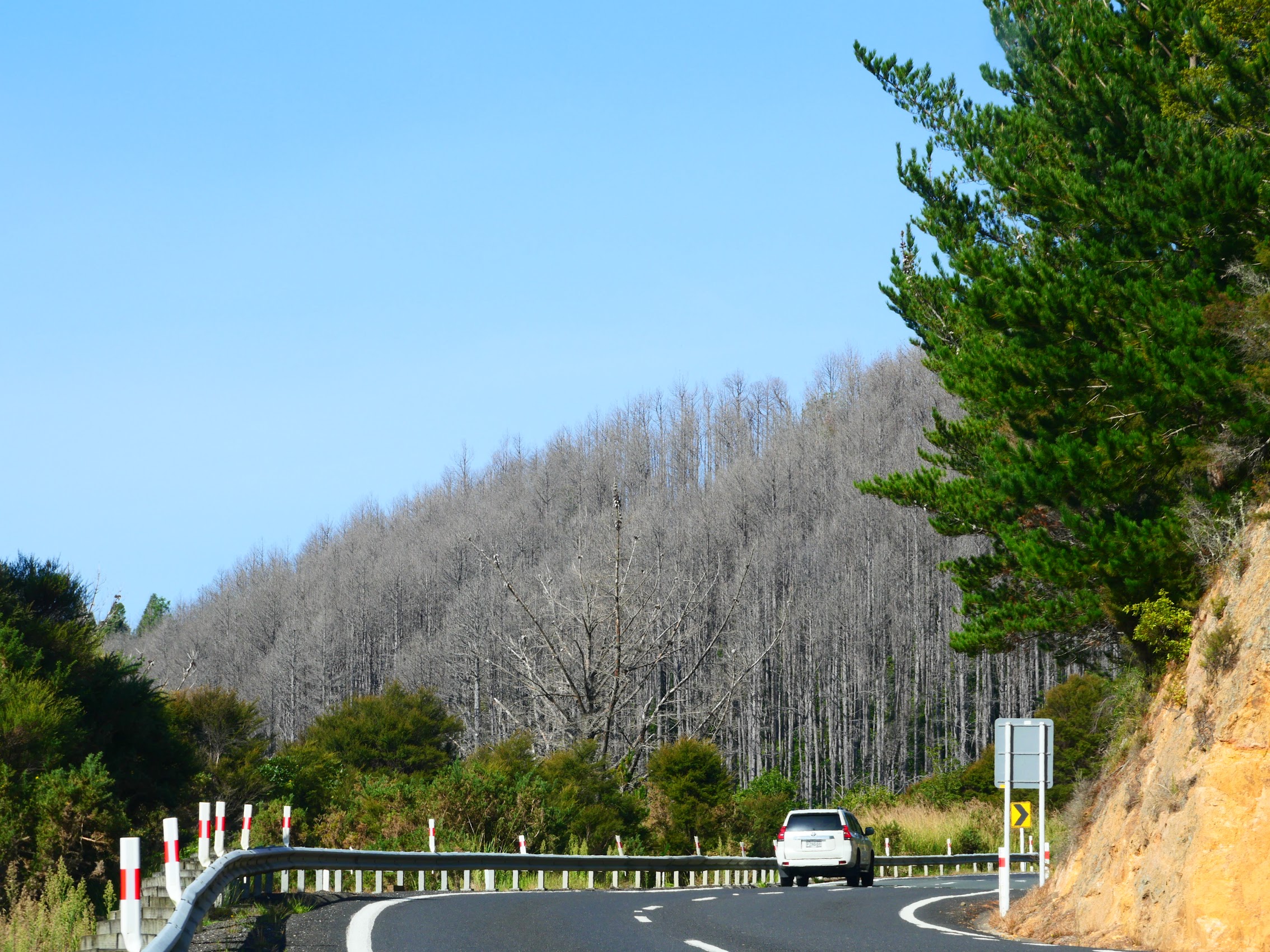
The Road to Rotorua brought more beautiful scenery. Although it was pretty overcast when we left Napier, it cleared as we made our way northwest through rolling hills and farms climbing into the foothills and, eventually, more mountains.

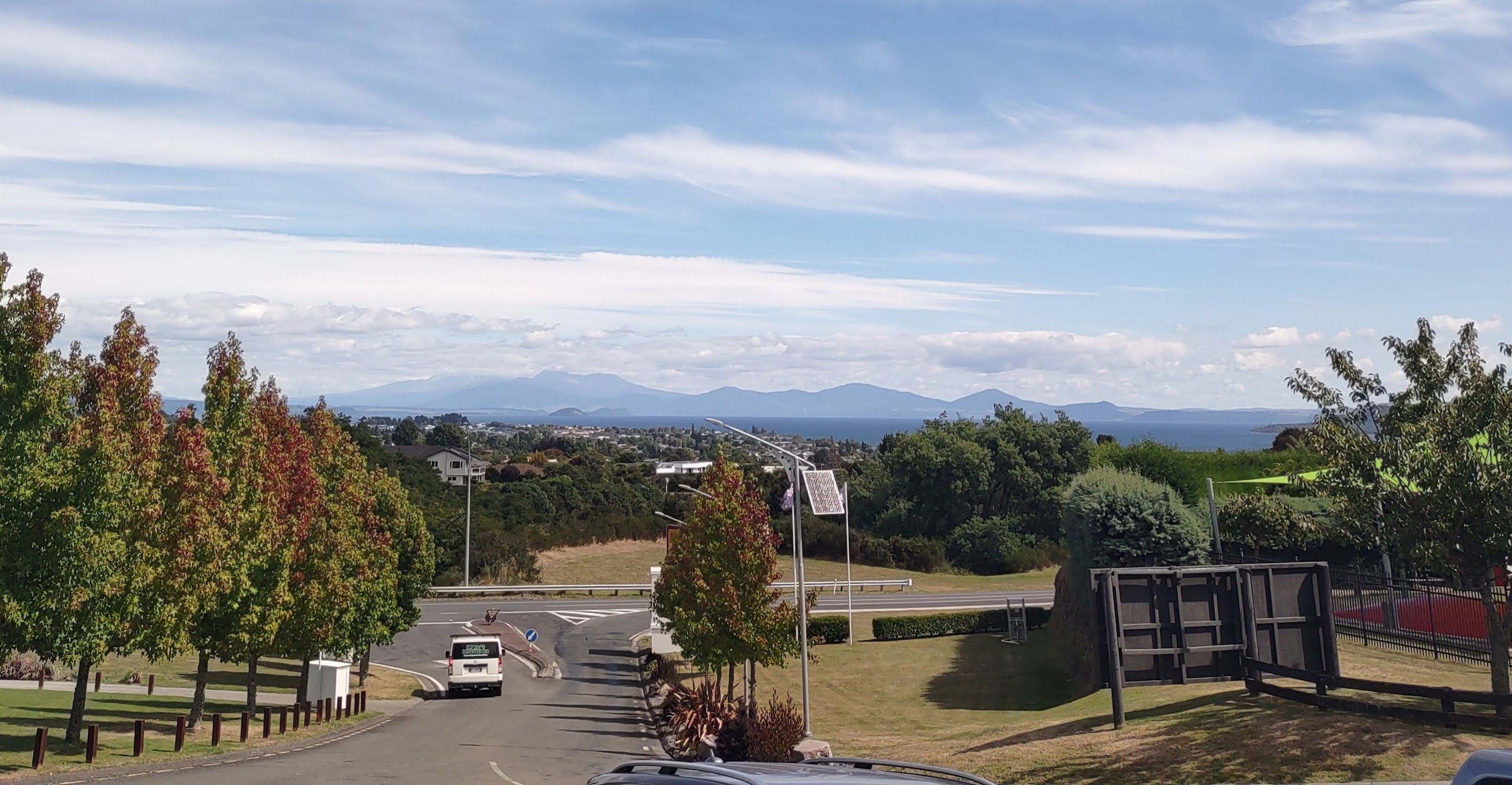
We stopped for lunch in the town of Taupo which sits on the shores of its namesake Lake Taupo, a crater lake located in the caldera of Taupo Volcano, and the largest lake by area in New Zealand. From our lunch spot at the Hilton Lake Taupo (Denny’s choice) we enjoyed views across the lake to the volcanic plateau on its southern shores.
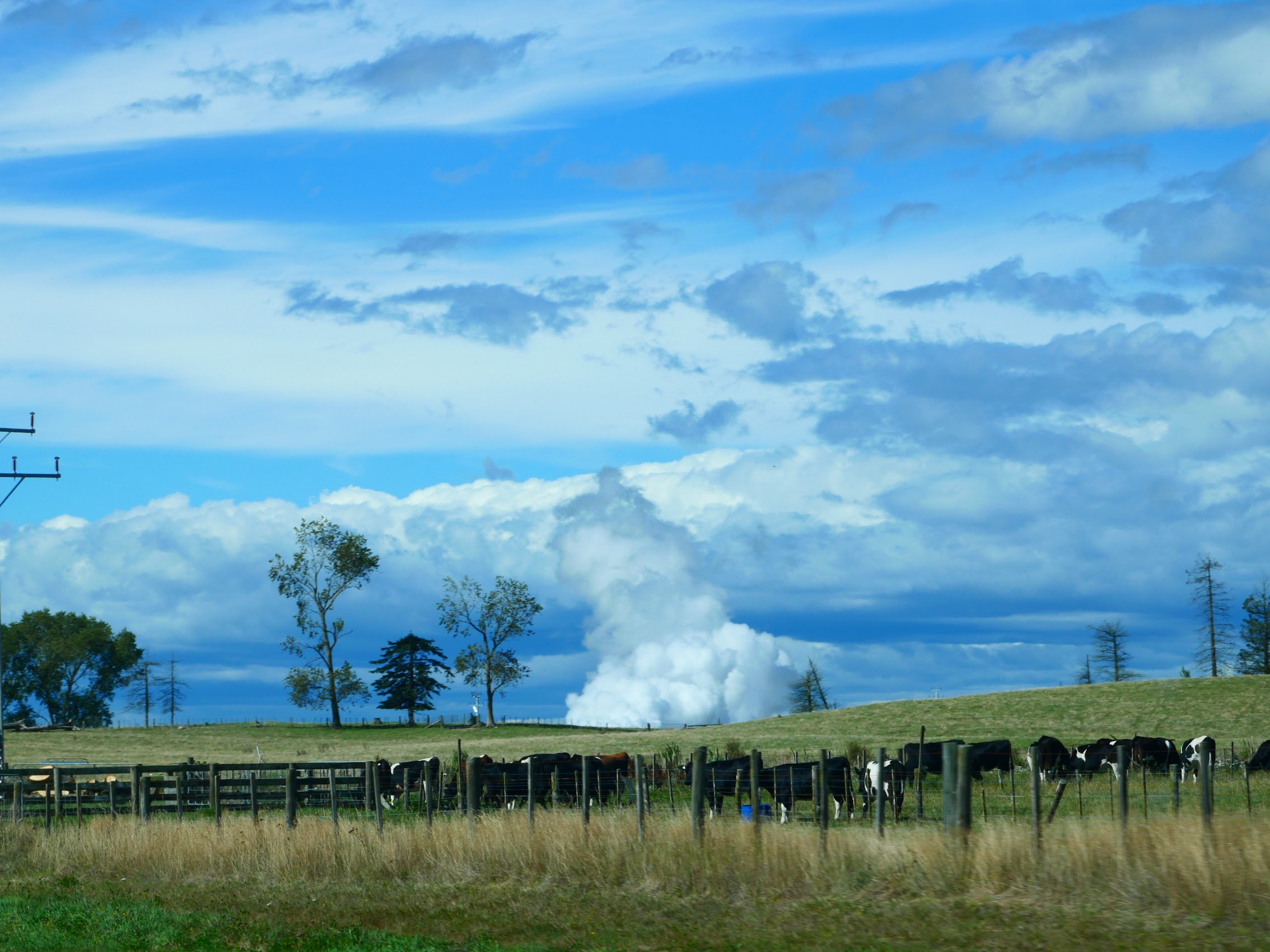
From Taupo, most of the remaining drive to Rotorua was across a large highland plateau with farms and pastureland stretching out towards the surrounding mountains. At one point we saw large clouds of steam rising from what appeared to be a cow pasture and realized that this was a geothermal steam vent which are apparently pretty common in areas like the Taupo and Rotorua Volcanic Zone, known for their geothermal activity.
A Not-So-Good Stay
Our stay in Rotorua was a large four-bedroom house located in a residential neighborhood south of downtown Rotorua called the Macadamia Retreat – City Central Hygge. I was not familiar with the term ”hygge” and so looked it up and discovered it means “a quality of coziness and comfortable conviviality that engenders a feeling of contentment or well-being”. (Apparently hygge is regarded as a defining characteristic of Danish culture.) That sounded pretty good to us and the photos in the listing (which we eventually concluded must have been pretty dated) portrayed a bright and cheerful place.
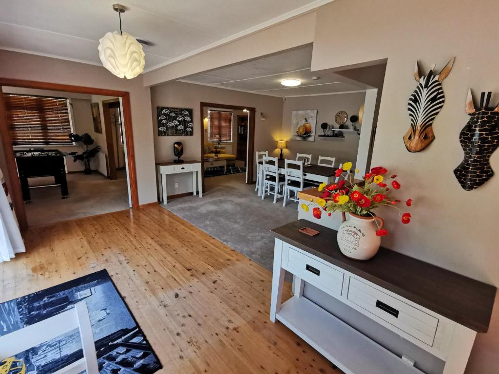
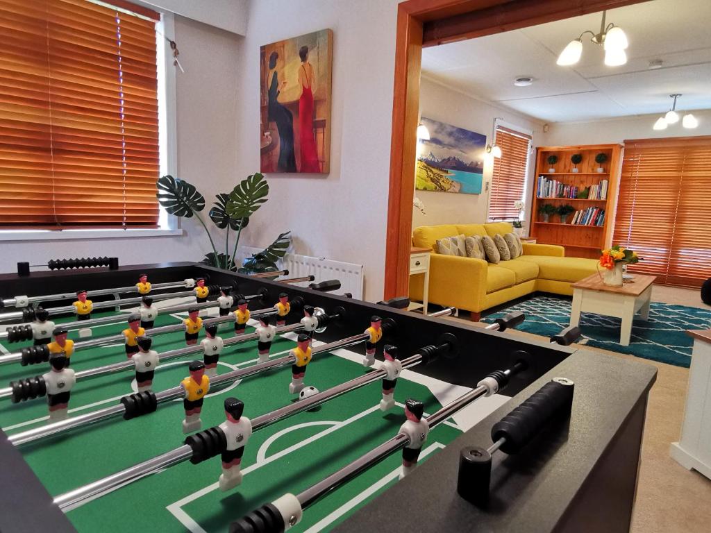
Unfortunately, the reality was more dark, dingy, and musty (which extra bedrooms, a second living room, and a foosball table don’t really make up for), but at $98/couple/night, it was by far the least expensive accommodation we had booked in New Zealand and we were only there for one night (most of which was spent sleeping), so we lived with it.
[Footnote: When discussing this stay more recently, Colleen noted that in complete contradiction with everything else about it, this place had some of the highest quality bedding she had seen on our trip. She thought this so odd that she actually corroborated it with Wendy (who knows her bedding!).]
Dinner and a Show
We arrived at the Macadamia Retreat with just enough time to unpack the car and change before heading back out for a special night we had planned. This was another excursion which we had booked in advance, a Māori “Cultural Experience” at the Mitai Māori Village in Rotorua.
Mitai Maori Village sits over four acres of whenua (land) called Rotohokahoka gifted by the Ngati Whakaue people to develop. Under the leadership of six-time national Manukura Tāne (male leader) Kapa Haka, Wetini Mitai-Ngatai and the whānau (family) Mitai-Ngatai, Mitai Māori Village was established and has been operating for over 20years. The vision and foresight for this land was to redevelop the old pā (village) site, showcase Māori culture through Toi Whakaari (performing arts) and to share the lifestyle of Māori.


Upon arrival, we were led to a large new dining hall where we were provided with an introductory orientation and drinks. Our experience began with a traditional hāngī dinner of meat, chicken, and vegetables which were cooked in an earth-oven, a hole 1-2m into the ground. The baskets of kai (“food” or “meal”) are placed on hot stones at the bottom of a hāngī pit, then covered to trap the heat. The steam and heat from heated hāngī stones infuses the kai with delicious earthy flavors while it cooks for 3-4 hours. Prior to dinner, there was a ceremony where the hāngī pit was uncovered and the kai was sampled and accepted by our “Chief” a biker from Florida named Dave. (More self-appointed than elected!)

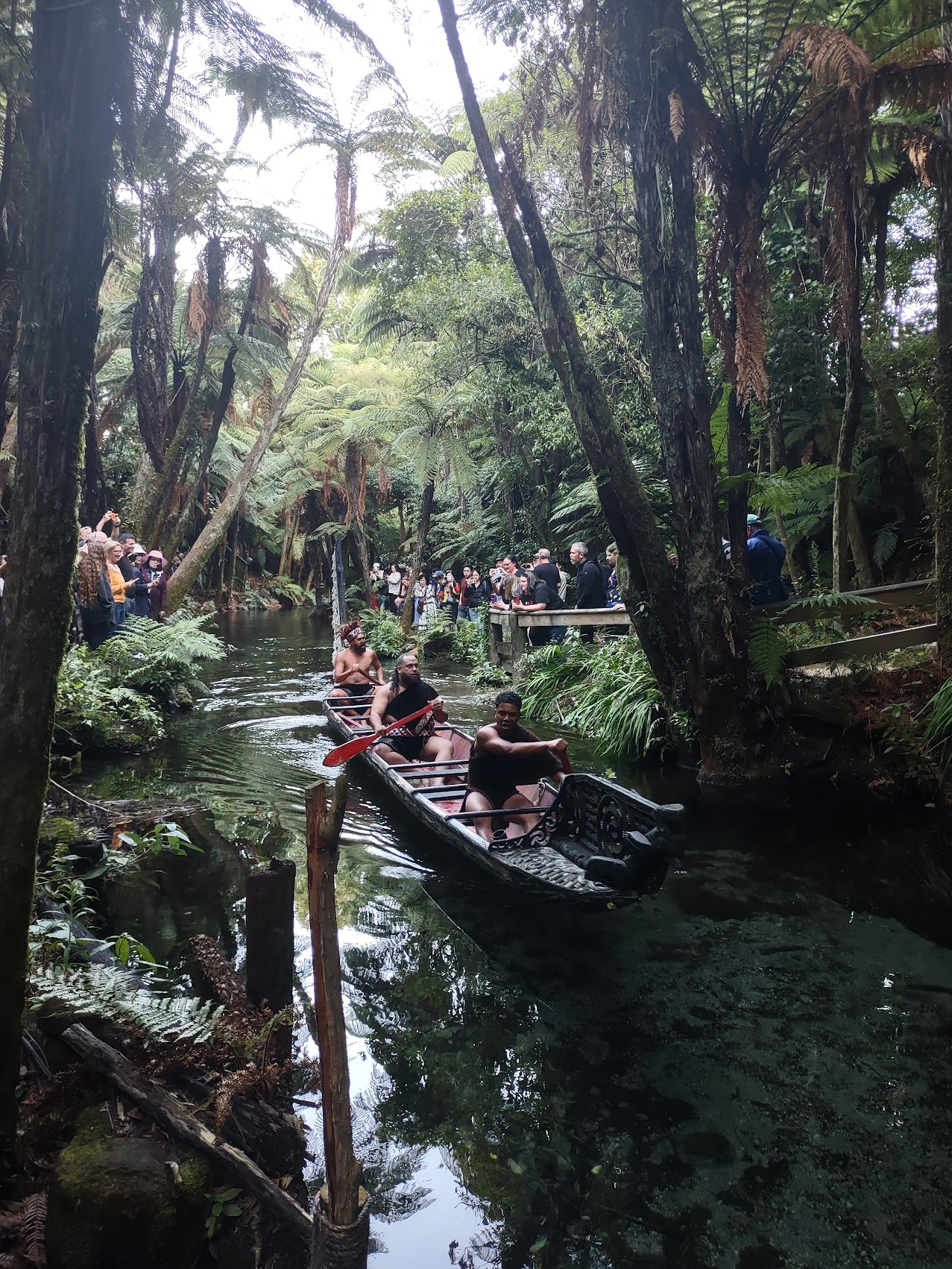
While final dinner preparations were being made, we were led down jungle paths to a sacred freshwater spring, Te Puna Tapu a Tuhoe, where we awaited the arrival of warriors paddling down the Wai-o-Whiro stream in a traditional war canoe (waka).

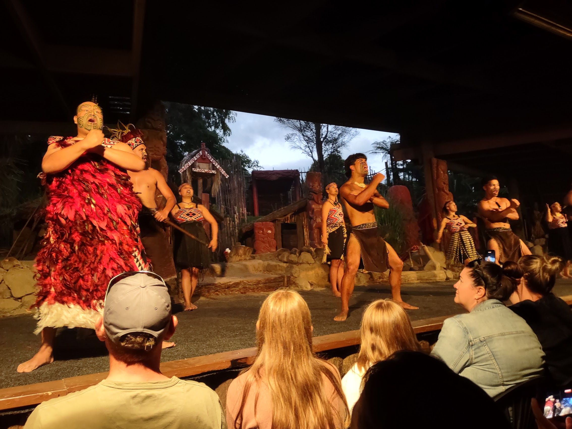
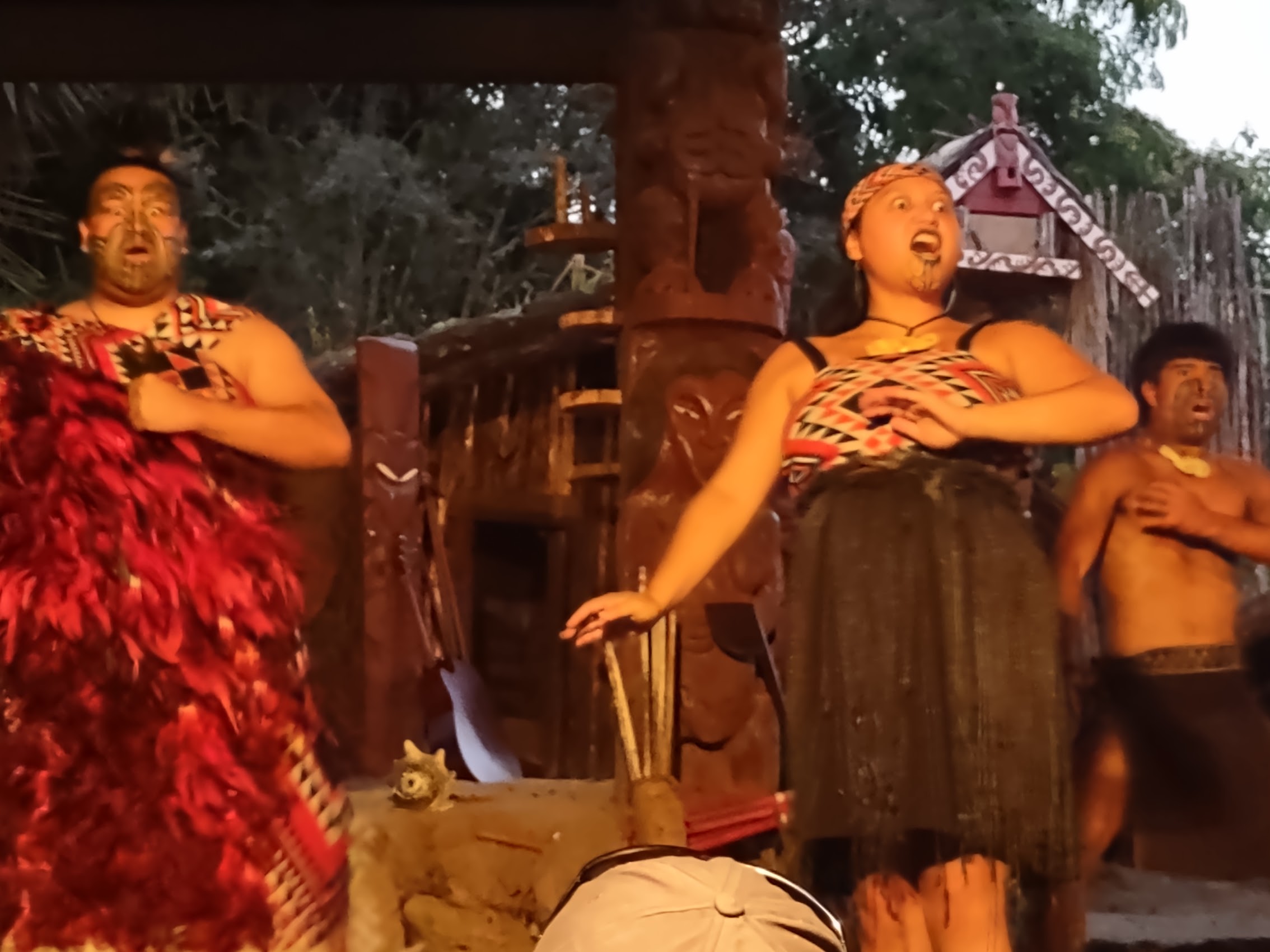
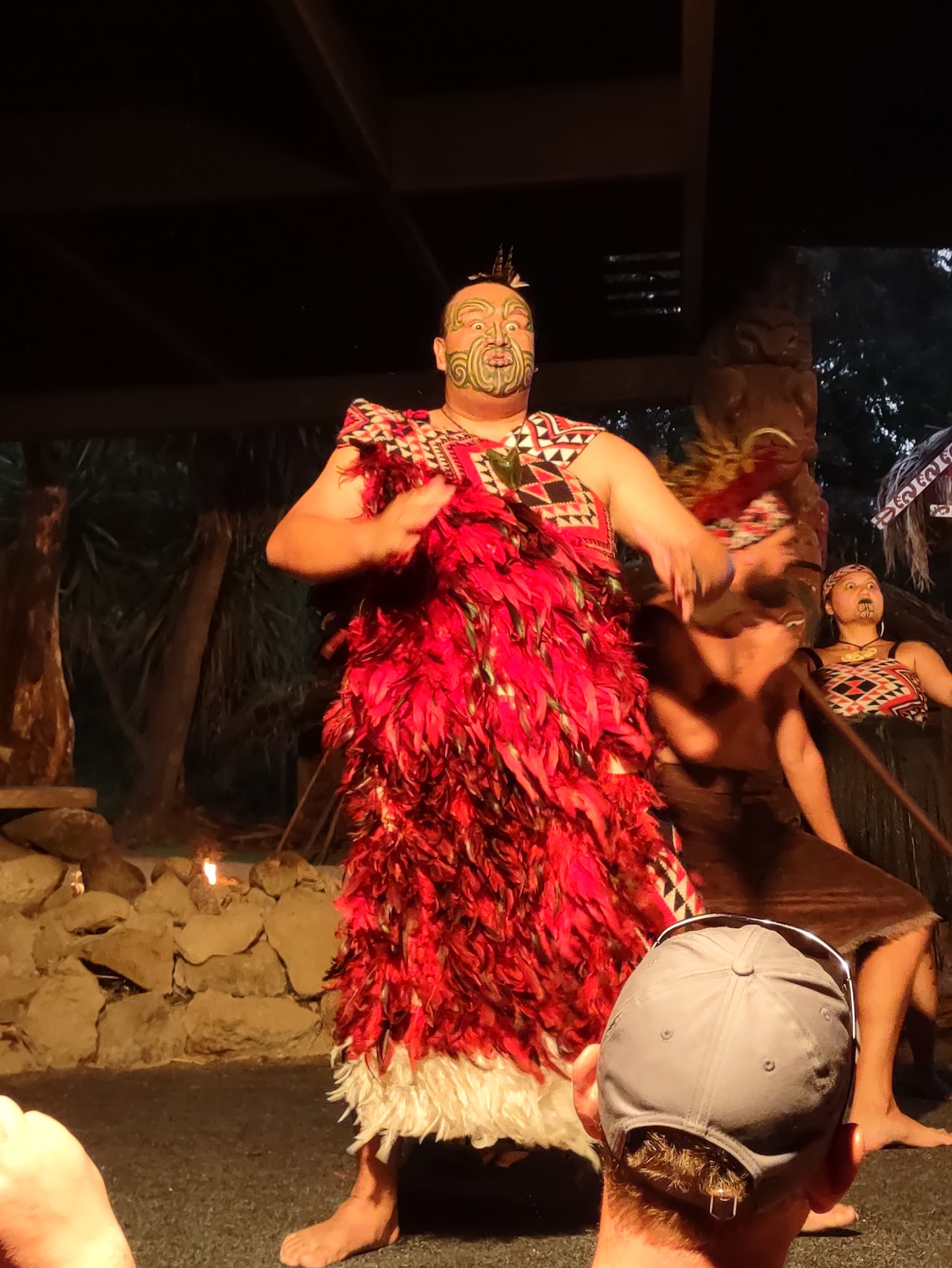
Following a delicious dinner, we were led to a theater-like structure where we were treated to a series of performances (all accompanied with explanations of their historic and cultural significance), which included music (both instrumental and vocal), juggling of sorts (mostly weapons), and various forms of haka. The word “haka” itself means “dance” in Māori. While commonly known as a “war dance,” haka encompasses a wide range of forms and meanings, from displays of strength and unity to rituals of peace and respect. Historically, haka were performed to welcome visitors, celebrate important events, and challenge or intimidate opponents.
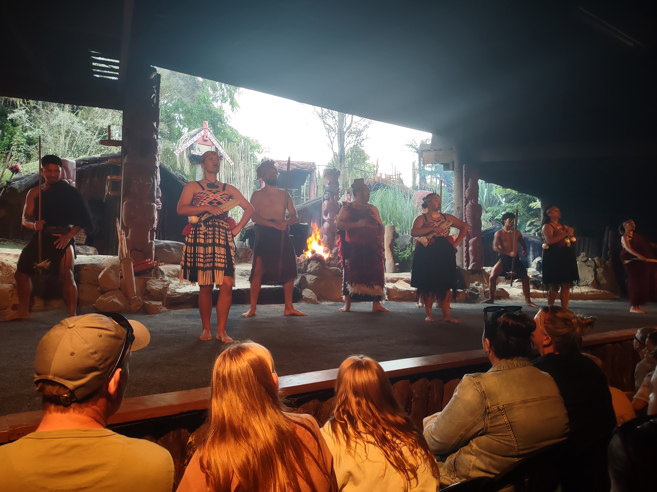
While all of the performances were very entertaining, the war hakas, which involved some interesting facial expressions and tongue manipulations, combined with the prevalent facial tattoos, really stole the show. (We later learned that Māori facial tattoos, known as tā moko or moko, are traditional markings that hold immense cultural significance, representing identity, lineage, achievements, and social standing, and are a way of showing who you are and what you stand for. Men often have full-face moko, including the forehead, cheeks, and chin, which can depict their genealogy, tribe, and accomplishments. Women typically have moko kauae, tattoos on the chin and sometimes lips, which signify their connection to their family and their leadership role within the community.)
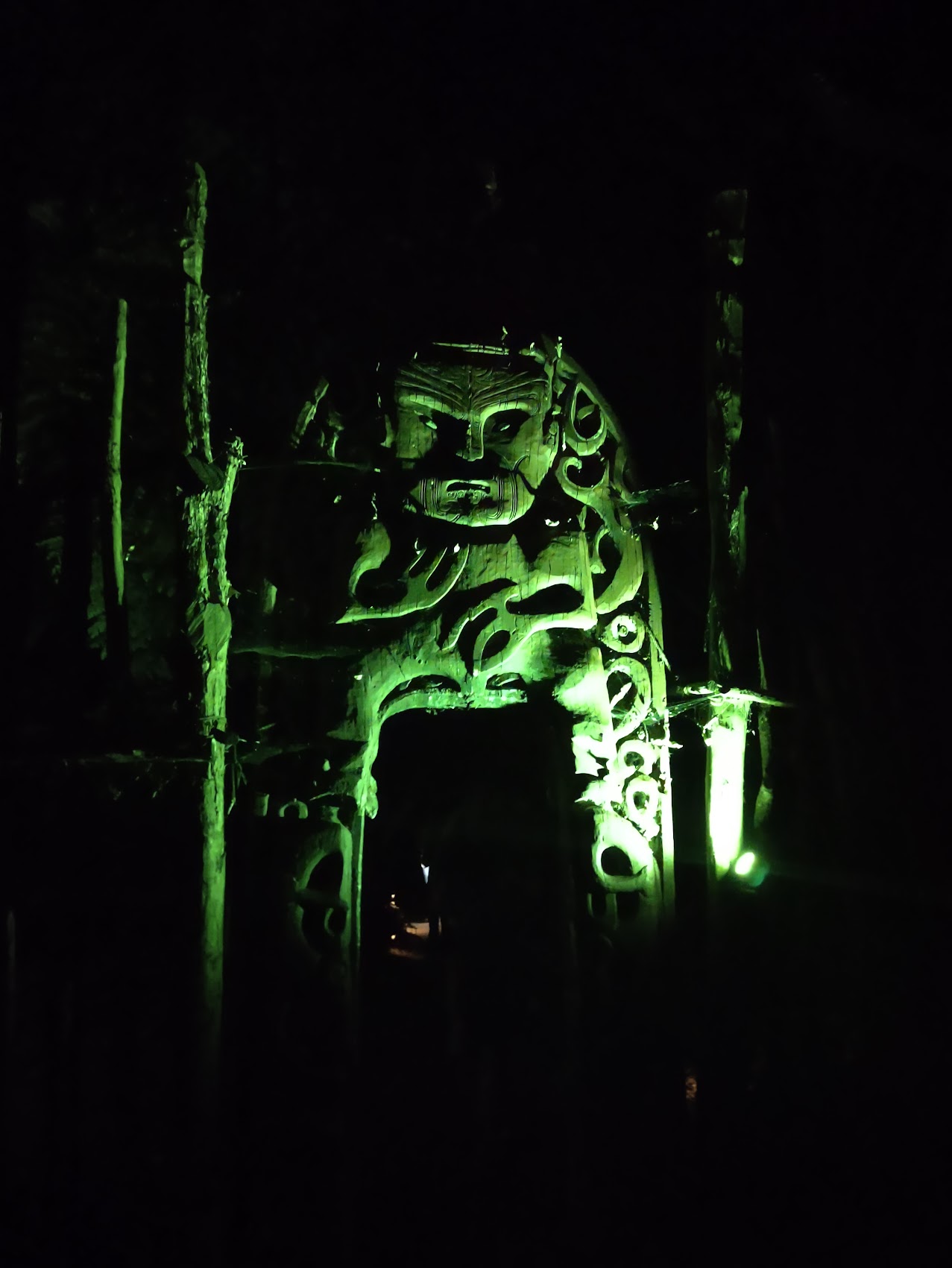
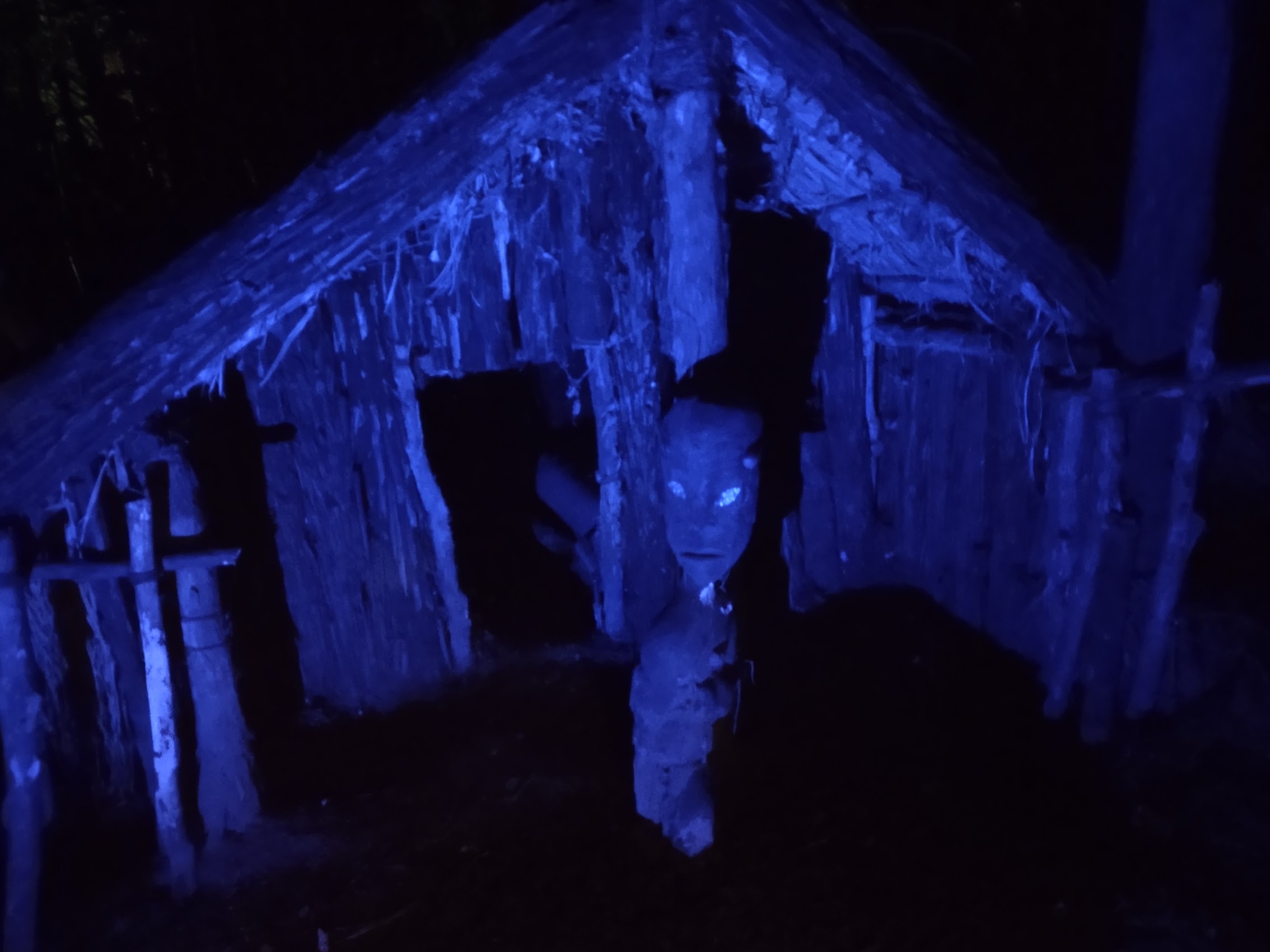
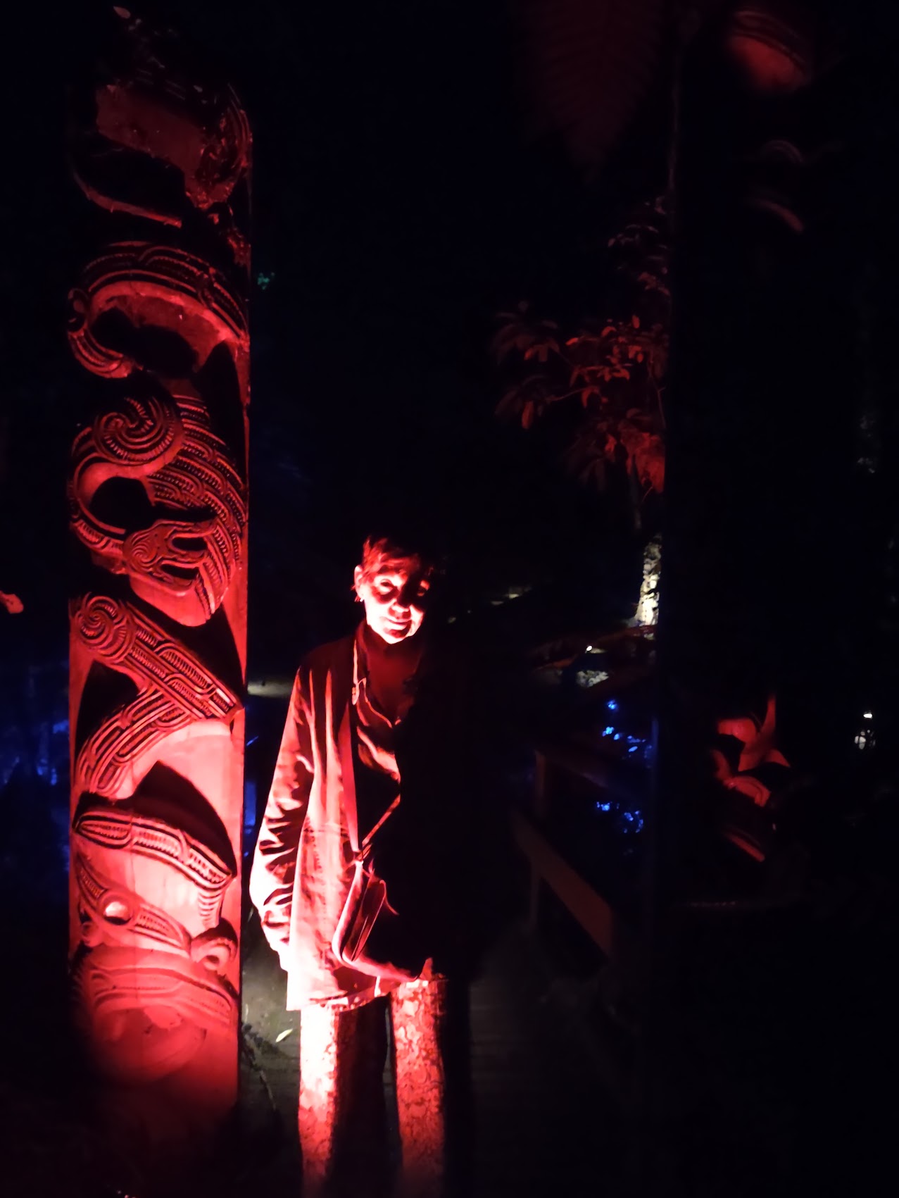
Following this amazing performance, we were given a night tour of the old village which, thanks to some dramatic lighting, was actually pretty spooky. And, to cap it all off, we discovered a trail where there were glow worms! (Full disclosure, I initially thought that they were LED lights strung for effect.) As it turns out, they are very odd insects which drip strands of glowing viscous blue fluid to attract prey. Very strange (and a bit creepy!).
We eventually found our way back out of the village and made our way home after what had been a very entertaining and educational evening.
A Day in Rotorua (Another Cool but Not-So-Little New Zealand Town)
We were up an out early the next day as we had an intermediate destination planned along the way to our next stay. I needed a little extra time packing as I had to transfer the contents of my old rolling bag to my new one. Given the difference in size, it was not a difficult task, but I felt a bit sad to just ditch a bag which had made multiple trips to Europe, Africa, and Asia and gotten me this far on this trip. But, really having no choice, I wheeled it out one last time to the trash bin at our stay.
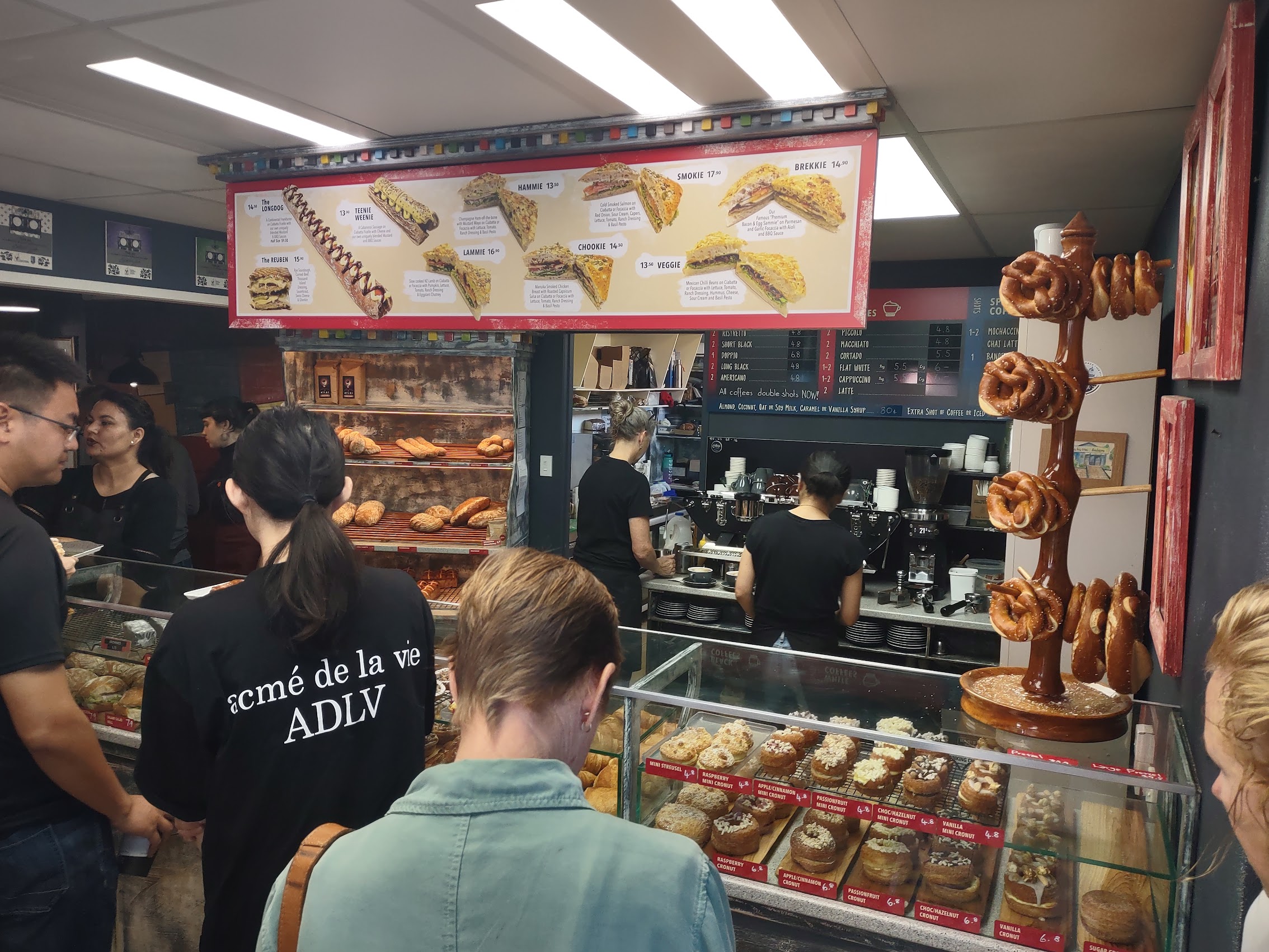

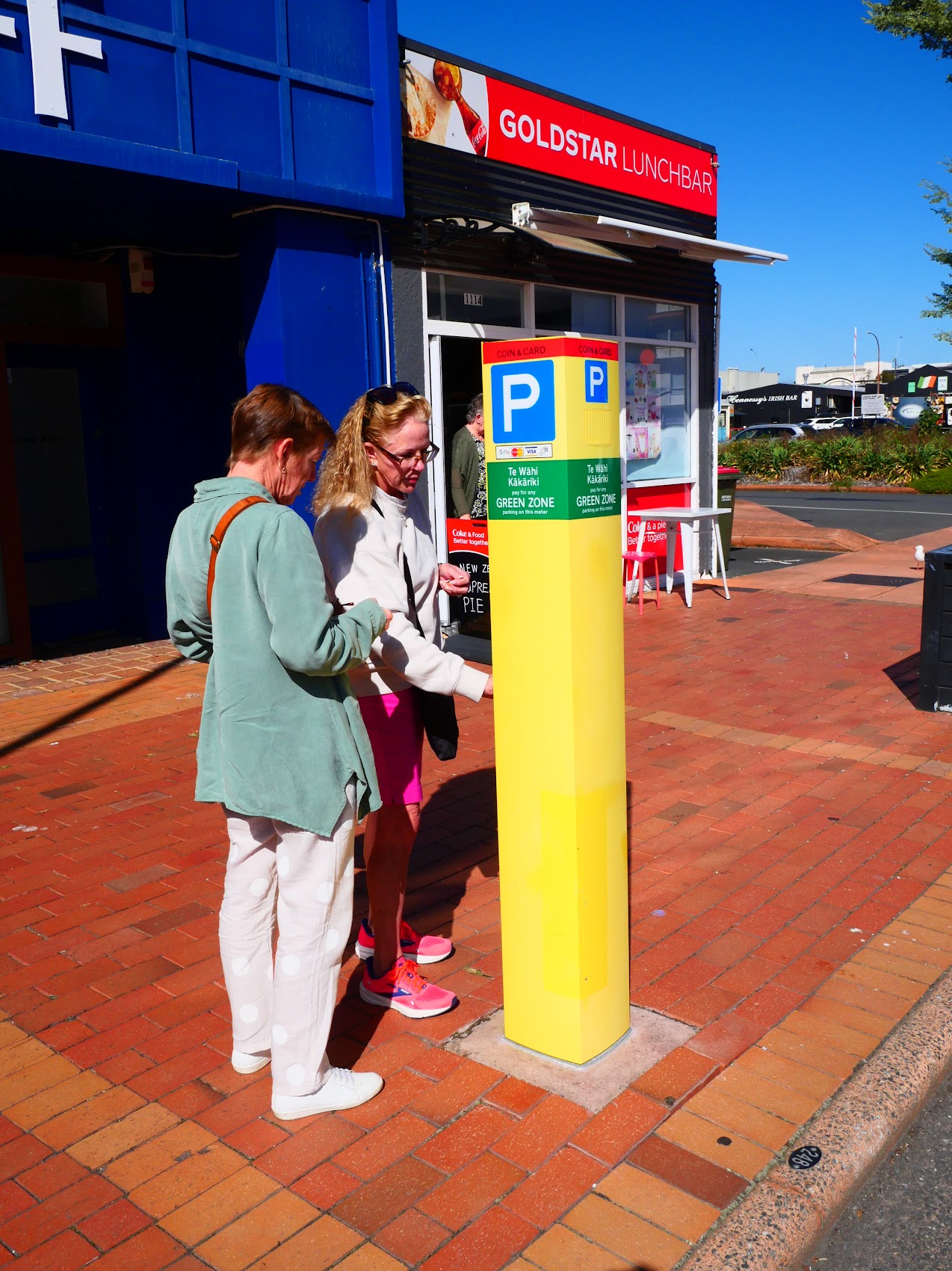
Our first stop of the day was at a nearby place called the Ciabatta Café and Bakery for coffee and pastries before heading into downtown Rotorua for a little morning stroll and (perhaps) some shopping. After Colleen and Wendy figured out how to operate the kiosk at the lot we had parked in, we and the Maddens decided to go our own ways and meet back at the car in time to explore some other sights in town before hitting the road again.

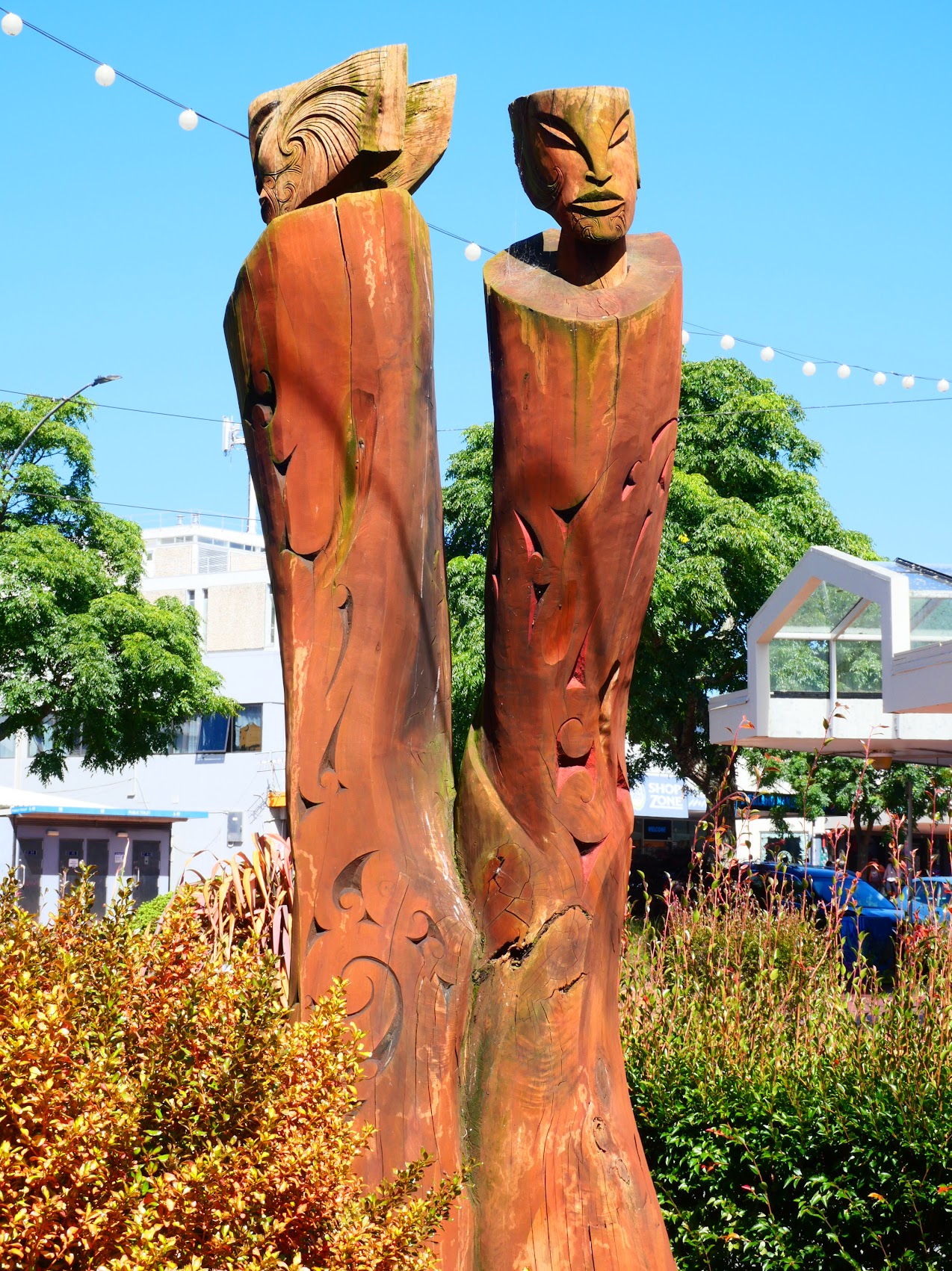
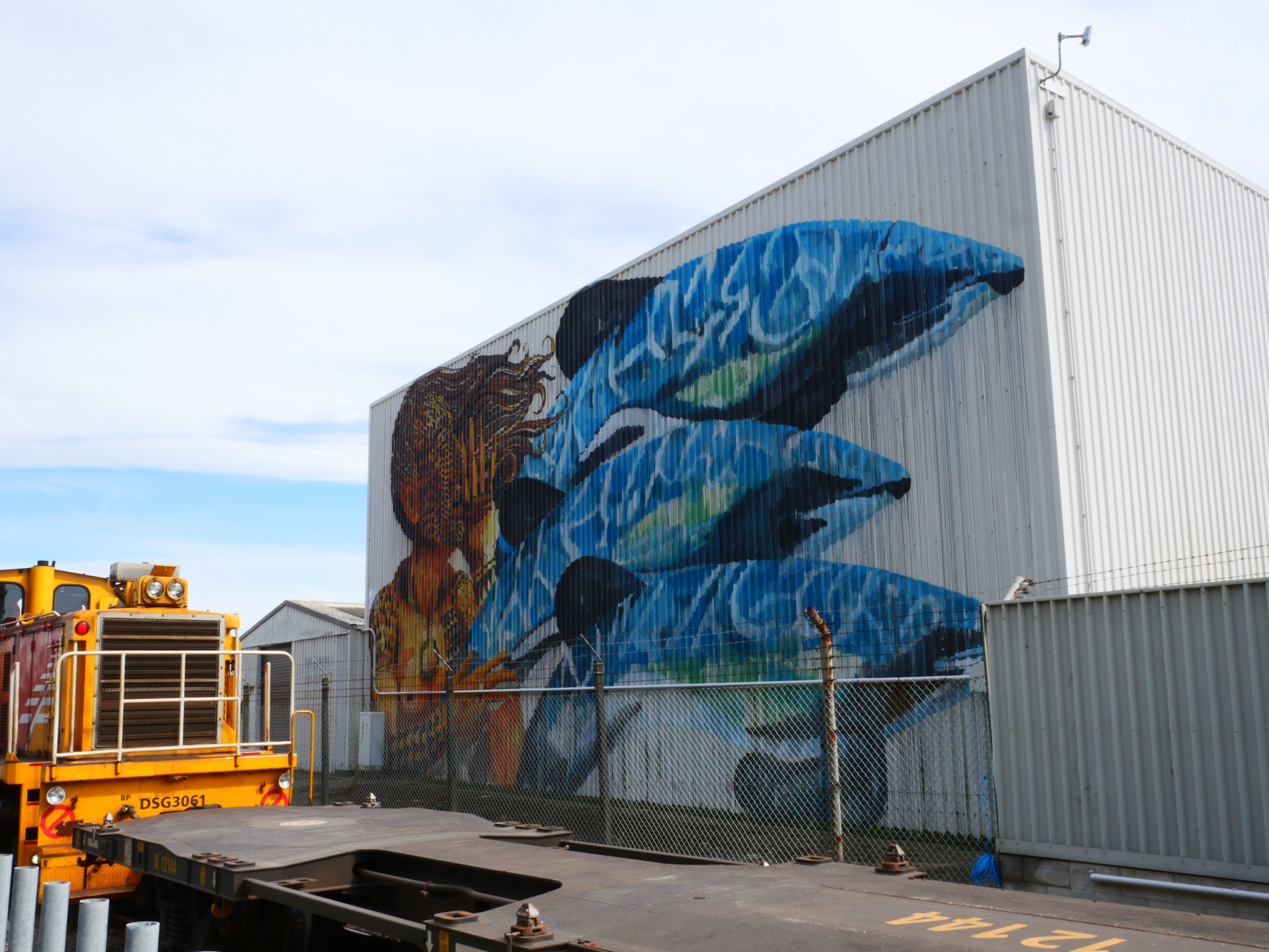
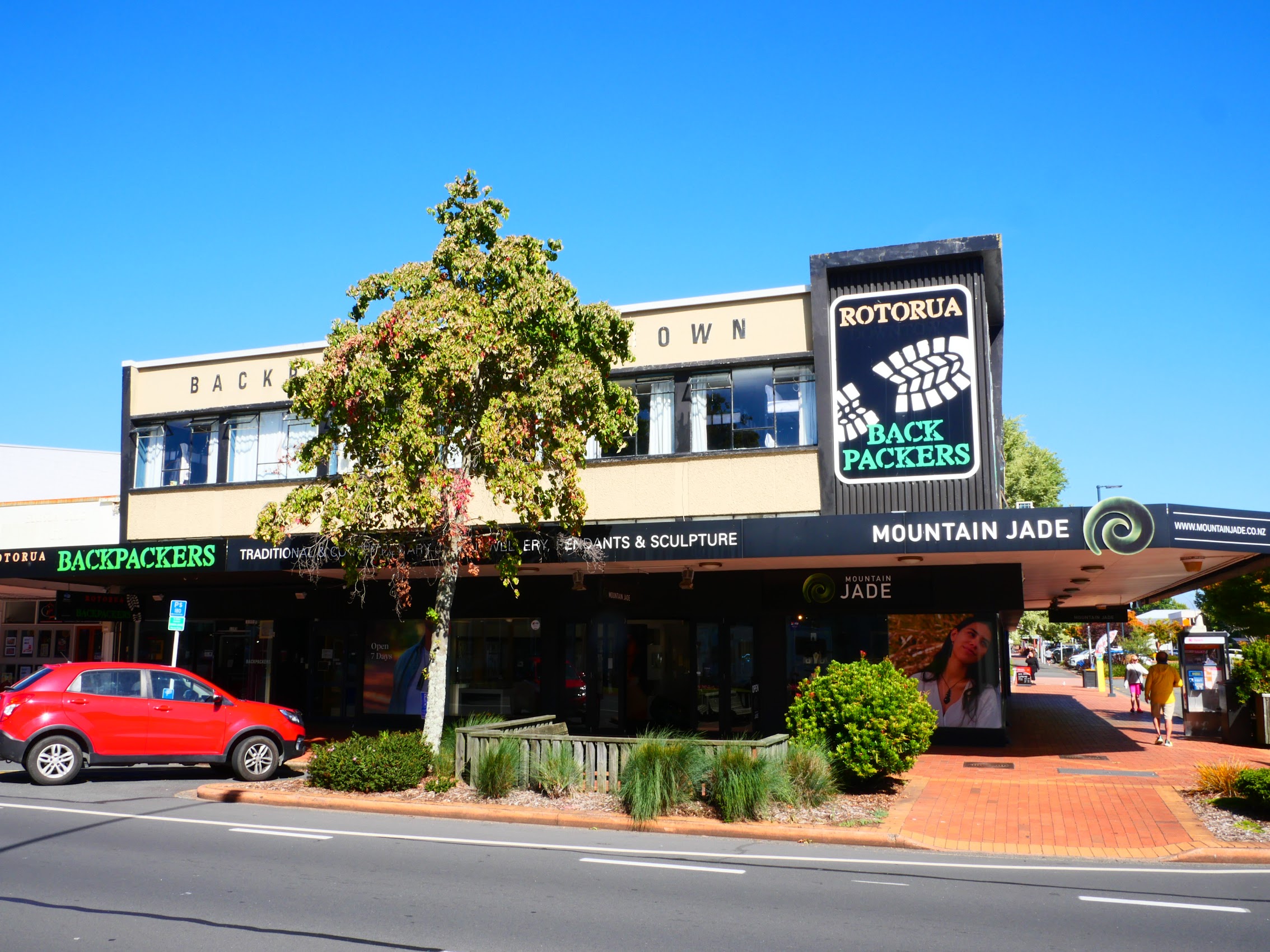
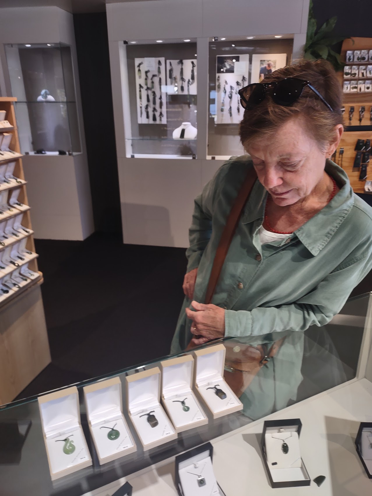
Rotorua turned out to be yet another cool New Zealand town (though too big to be a “Cool Little Town”) with some beautiful old buildings, street art, sculptures and, of course, lots of interesting shops. We were particularly enamored by a place called the Mountain Jade Store which specialized in greenstone jewelry.
Greenstone, also known as pounamu or New Zealand jade, is a highly valued, hard stone found on the West Coast of the South Island, and is considered a taonga (treasure) with significant spiritual and cultural importance to Māori. Pounamu is traditionally seen as a sacred material, and has been used to make tools, weapons, jewelry, and talismans.
Interestingly, we learned that the In New Zealand, the Ngāi Tahu tribe holds the legal ownership and guardianship of all pounamu (greenstone), as established by the Ngāi Tahu (Pounamu Vesting) Act of 1997, meaning they are the only ones with permission to extract it for commercial or tribal use. Ngāi Tahu also has a licensing scheme to ensure authenticity, with licensed retailers able to purchase raw stone certified as genuine New Zealand pounamu directly from Ngāi Tahu.
The most typical use of greenstone in jewelry is as an amulet or pendant which are modeled after a number of traditional patterns which include:
Toki: The toki (adze) is a type of blade, which is associated with determination, control, strength, focus and hope.
Koru: The graceful koru represents a native fern unfurling and symbolizes new life, new beginnings, hope, personal growth, purity nurturing, a new phase in life, the spirit of rejuvenation and peace.
Hei matau: The fish hook design signifies a connection to the moana (ocean) and brings the wearer good luck and safety while travelling.
After spending quite some time looking at everything in the Mountain Jade showroom, we decided to purchase pendant necklaces for ourselves and each of our kids as Christmas presents. They were beautiful little pieces, each based on a traditional Māori design which came with an explanation of the symbolism of each as well as information regarding the artist who had created it. (Part of the work of Ngāi Tahu is to promote the work of young artists carrying on the traditions of their ancestors.)
Happy with our purchases (pretty sure that there were others which I don’t recall) we walked back to the car where we rejoined Denny and Wendy. Together again, we compared purchases as we drove to the northern edge of town to get a closer look at Lake Rotorua.
Lake Rotorua
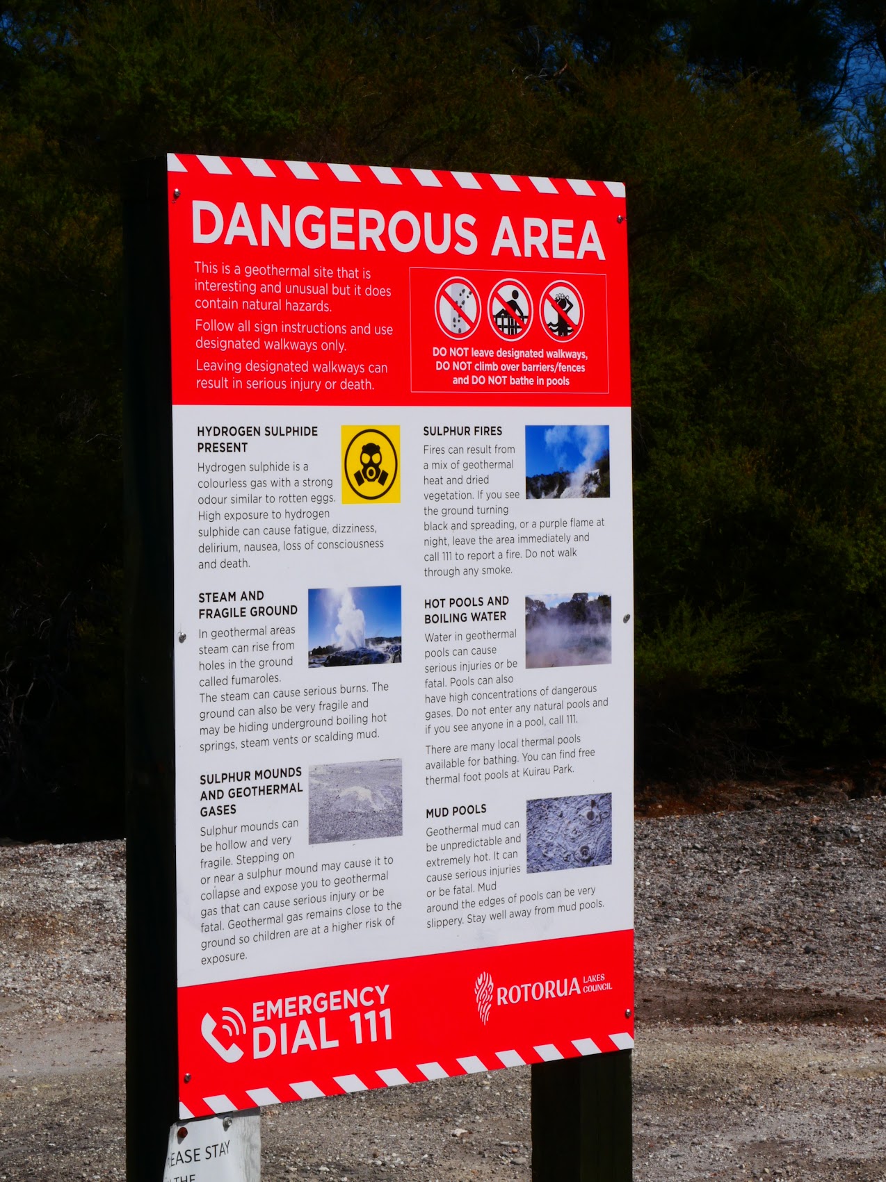
We passed through an area known as Government Gardens (which we would take a closer look at on our way out) and found a parking space near the entrance to the Rotorua Lakefront Boardwalk. We were greeted there by a sign warning us of a number of dangerous conditions we might encounter on our walk including steam, geothermal gases, sulfur fires, hot pools, and boiling water and mud.
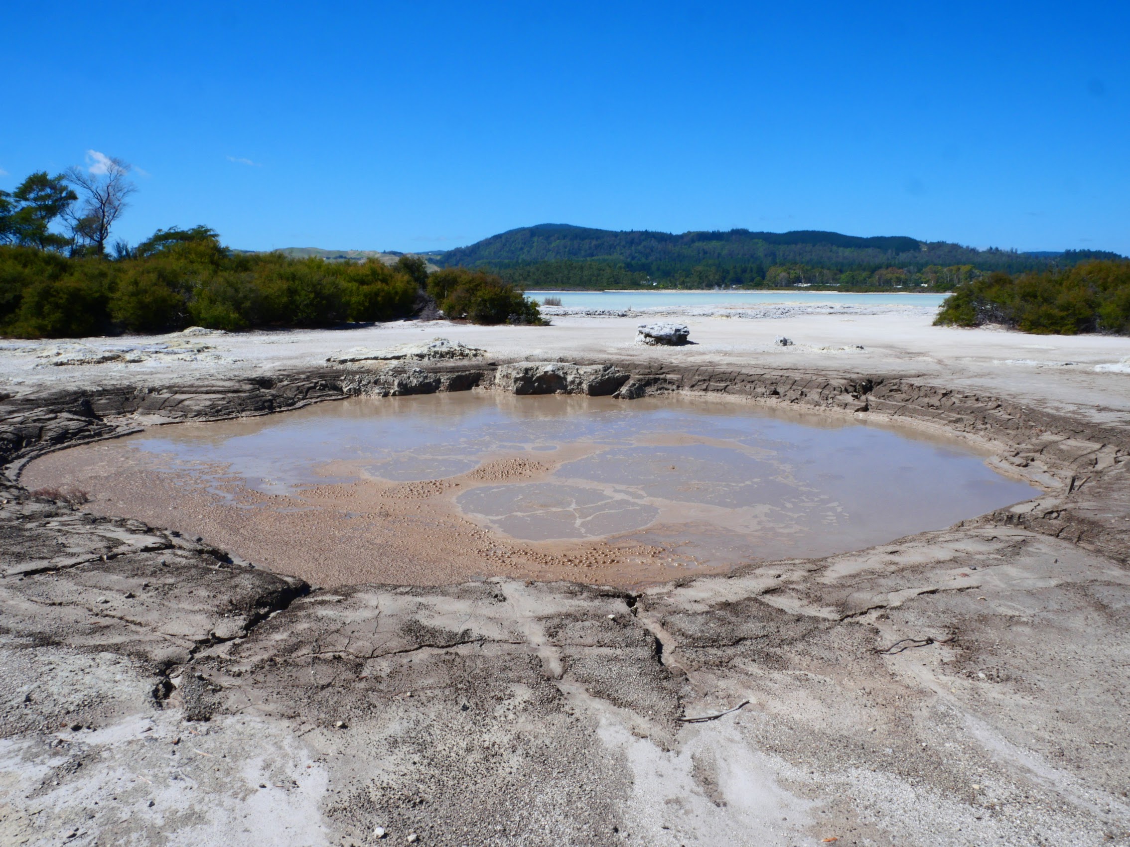
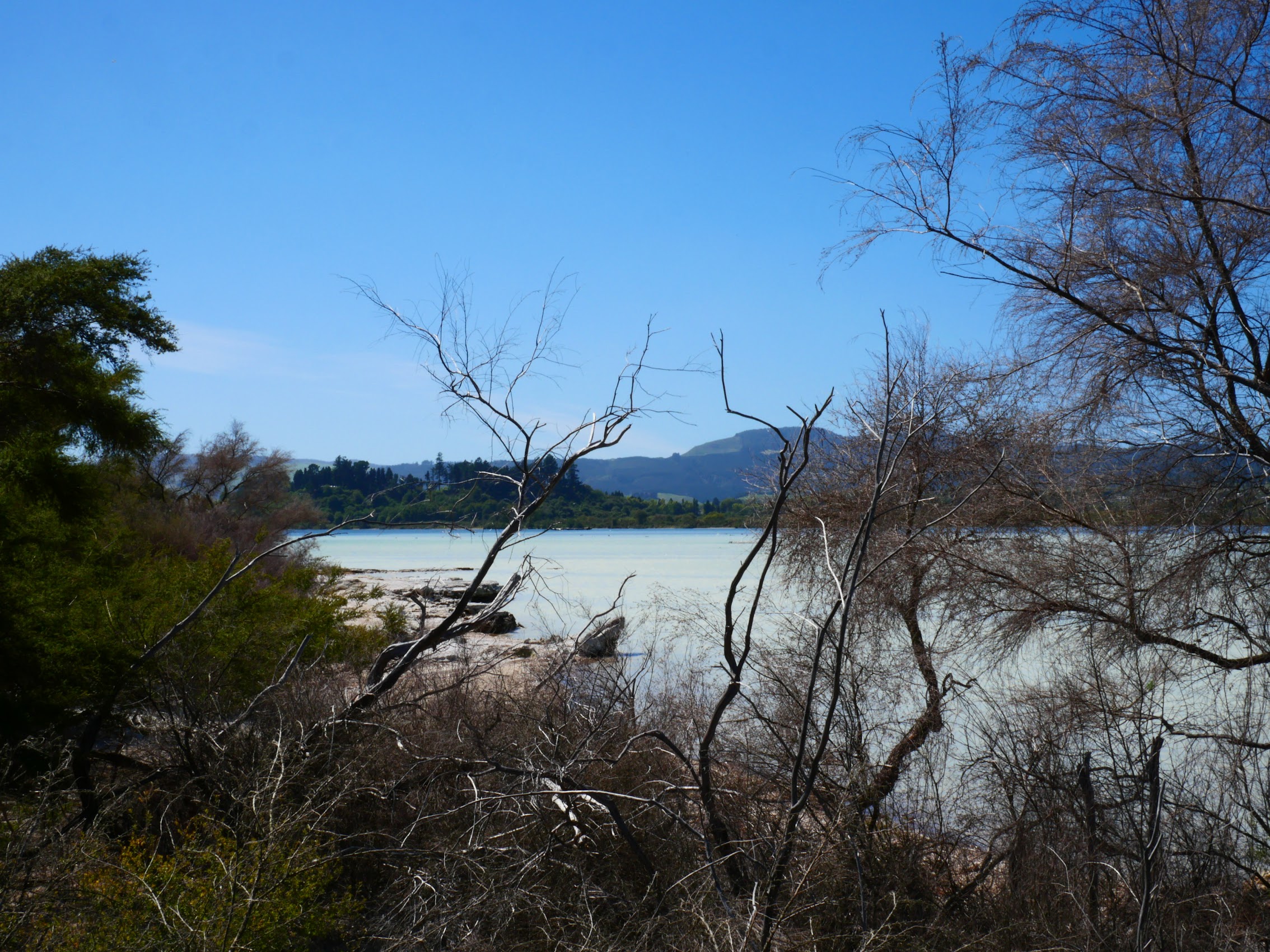
As we proceeded up the boardwalk, we immediately encountered several boiling mud puddles which were actually pretty cool as they periodically belched (really farted) clouds of sulfurous steam every so often. As we continued on, we got our first good look at the lake which had a very unique and particular color (due to its chemical content) and an equally unique and odiferous smell (eau de sulfur).
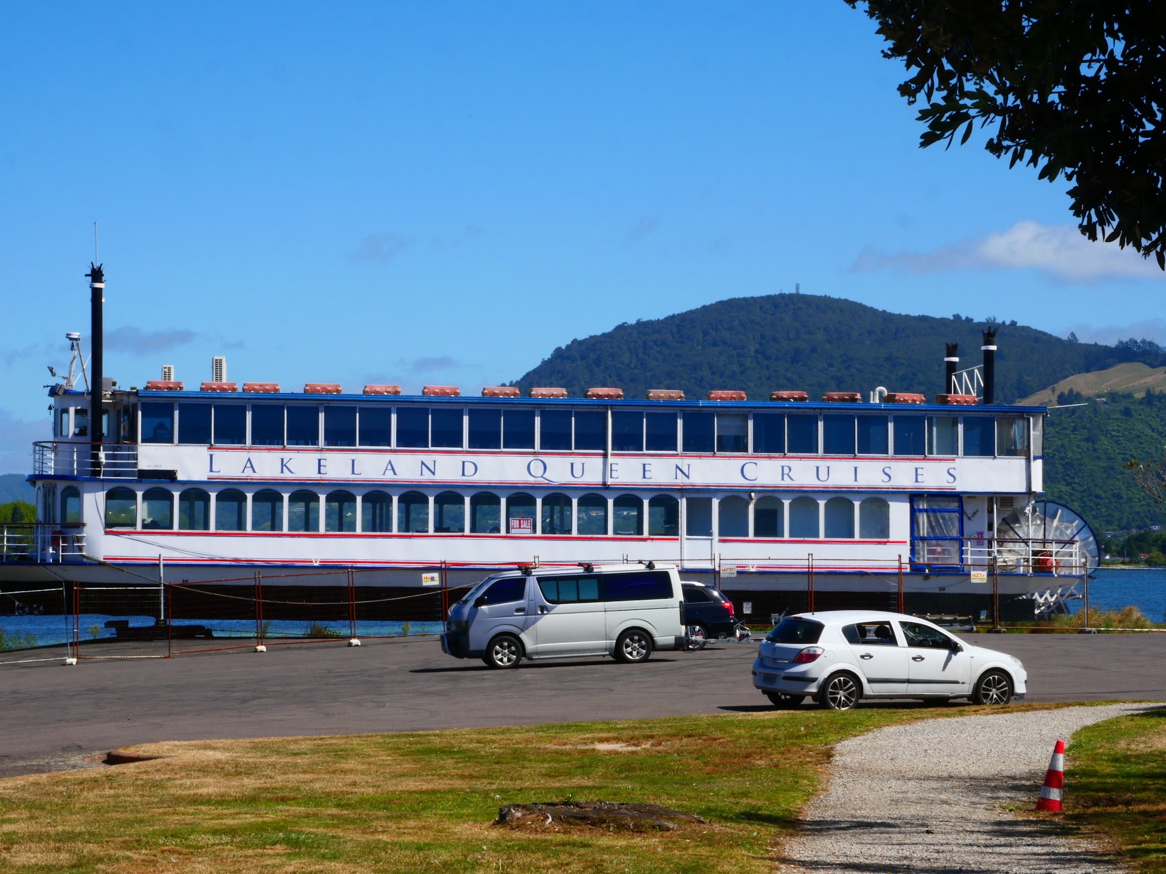
The boardwalk ended at a park of sorts with some interesting carvings and what seemed to be a completely out of place sternwheel paddle boat. For some reason, the park was swarming with gnats and other insects (what kind of bug likes sulfur fumes?) so we beat a hasty retreat back down the boardwalk.


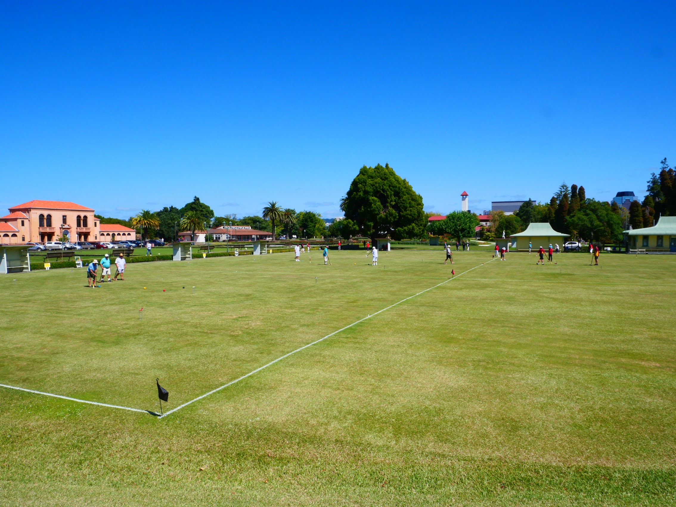
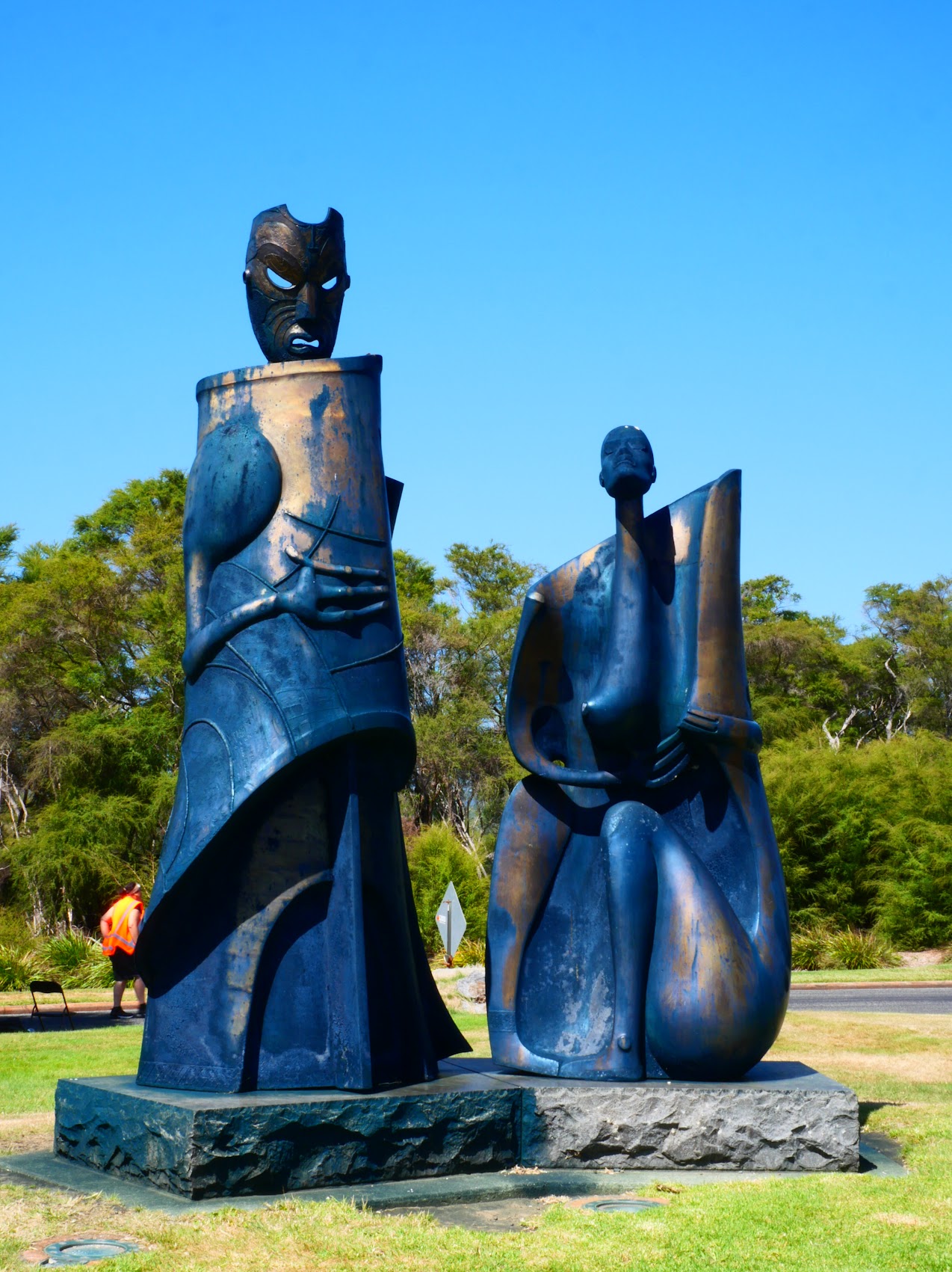
From the lake, we proceeded to take a walk around Government Gardens, a large and lovely park with bowling greens, walkways, sculptures, ponds and decorative plantings as well as a mediterranean style 1930’s public pool. The centerpiece of the Government Gardens is a huge rambling Elizabethan Tudor style bath house constructed in 1908 where the thermal waters could be used and promoted as a health spa similar to those in Europe. It now houses the Rotorua Museum and art gallery but was closed during our visit for renovation and earthquake strengthening.

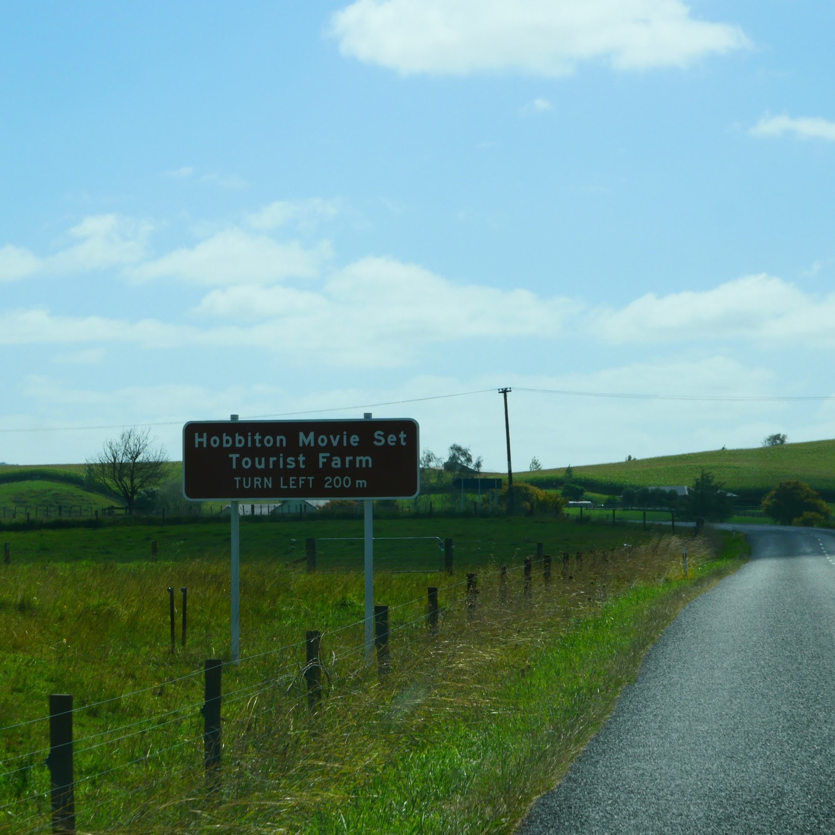
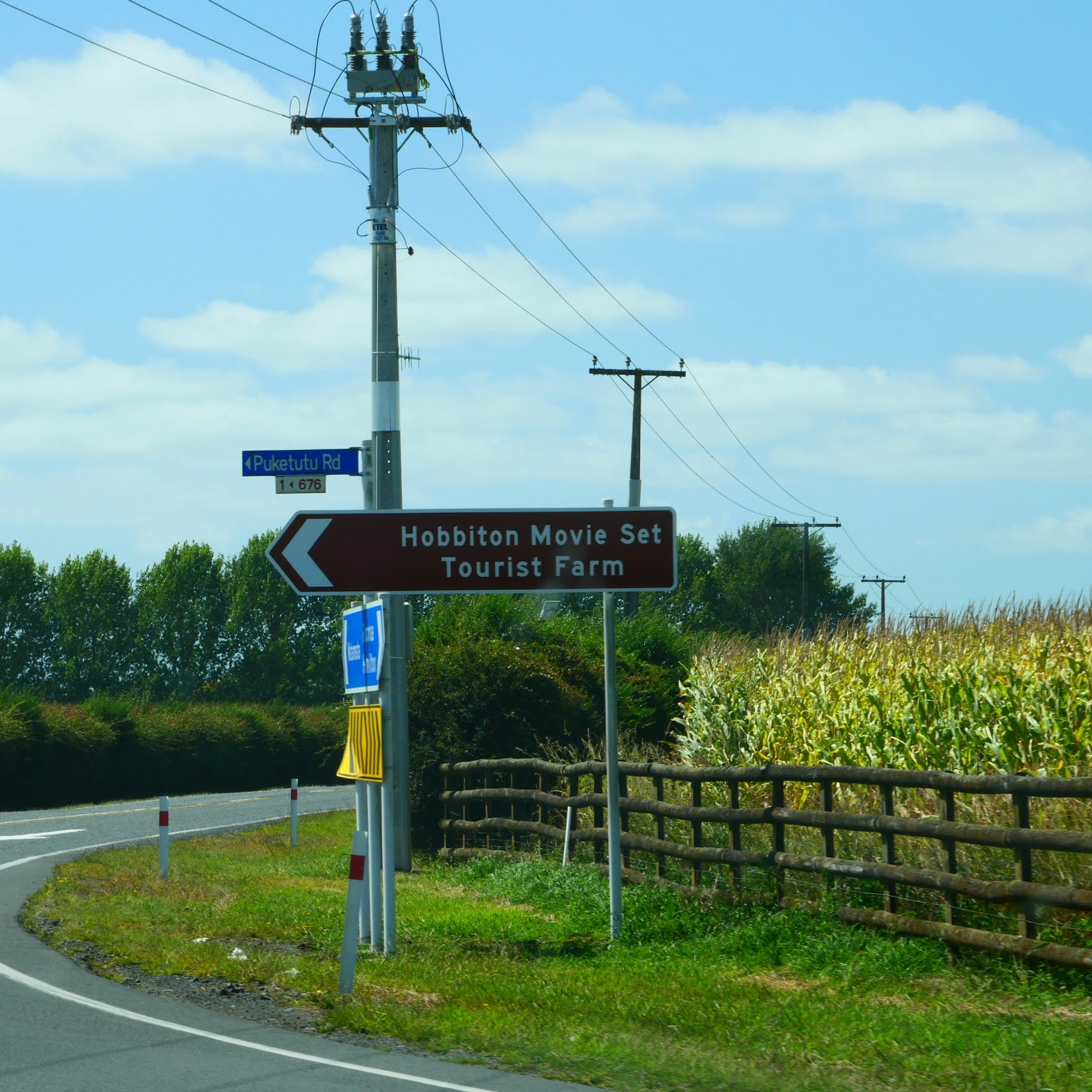
Having had our fill of hydrogen sulfide gas for the time being, we headed out through the gates of Government Garden and got back on the road north to our next stay on the Coromandel Peninsula with a special stop (Tolkien fans might call it “A Long-Expected Party”) along the way.
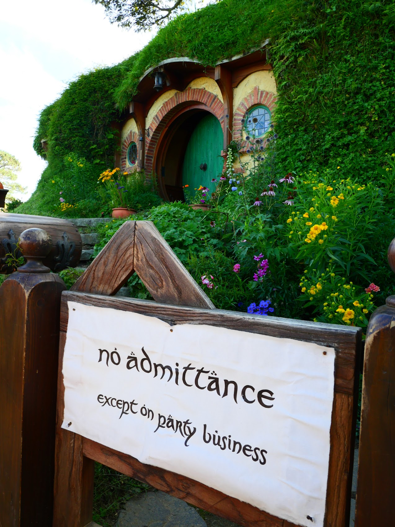
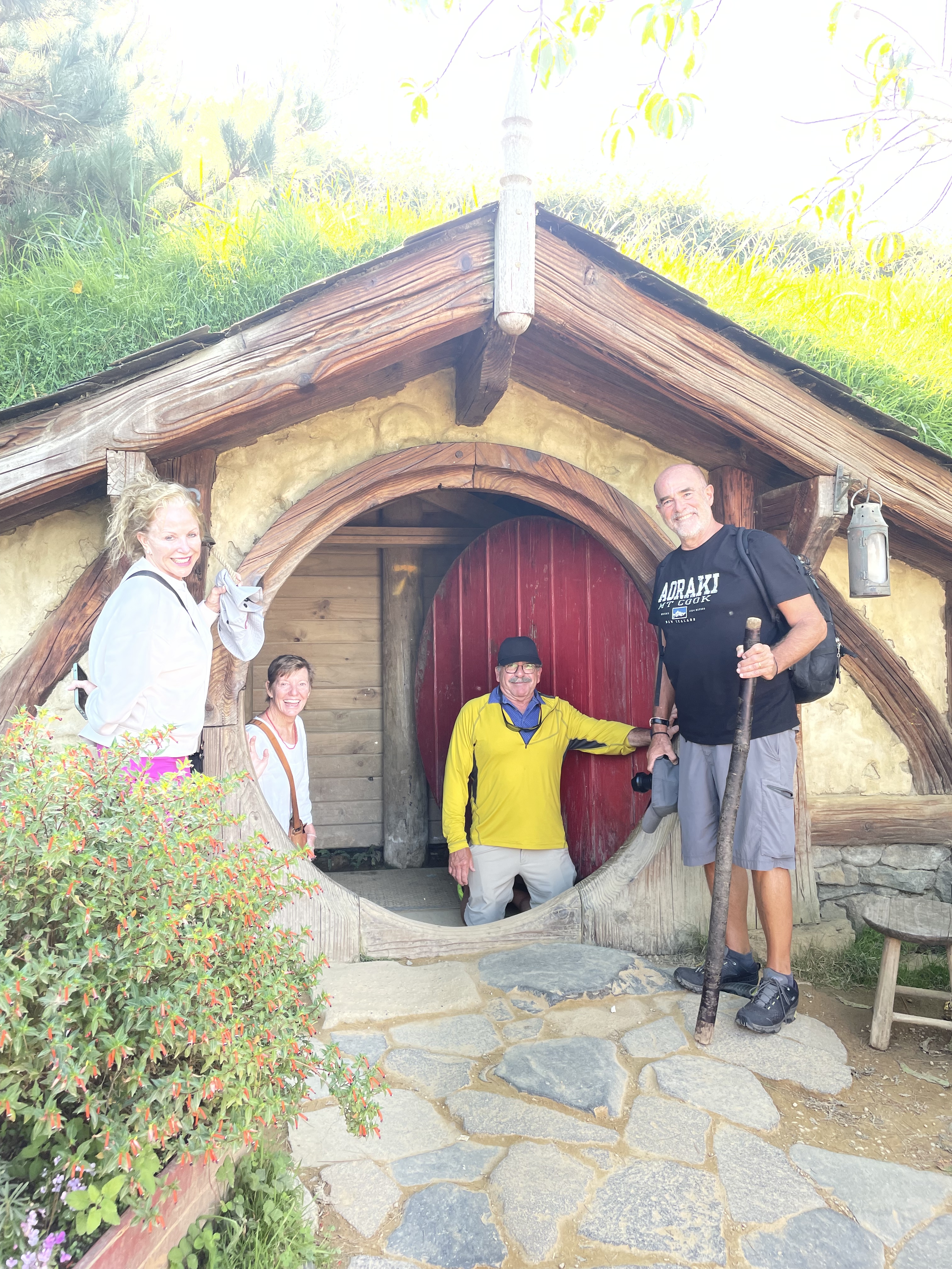
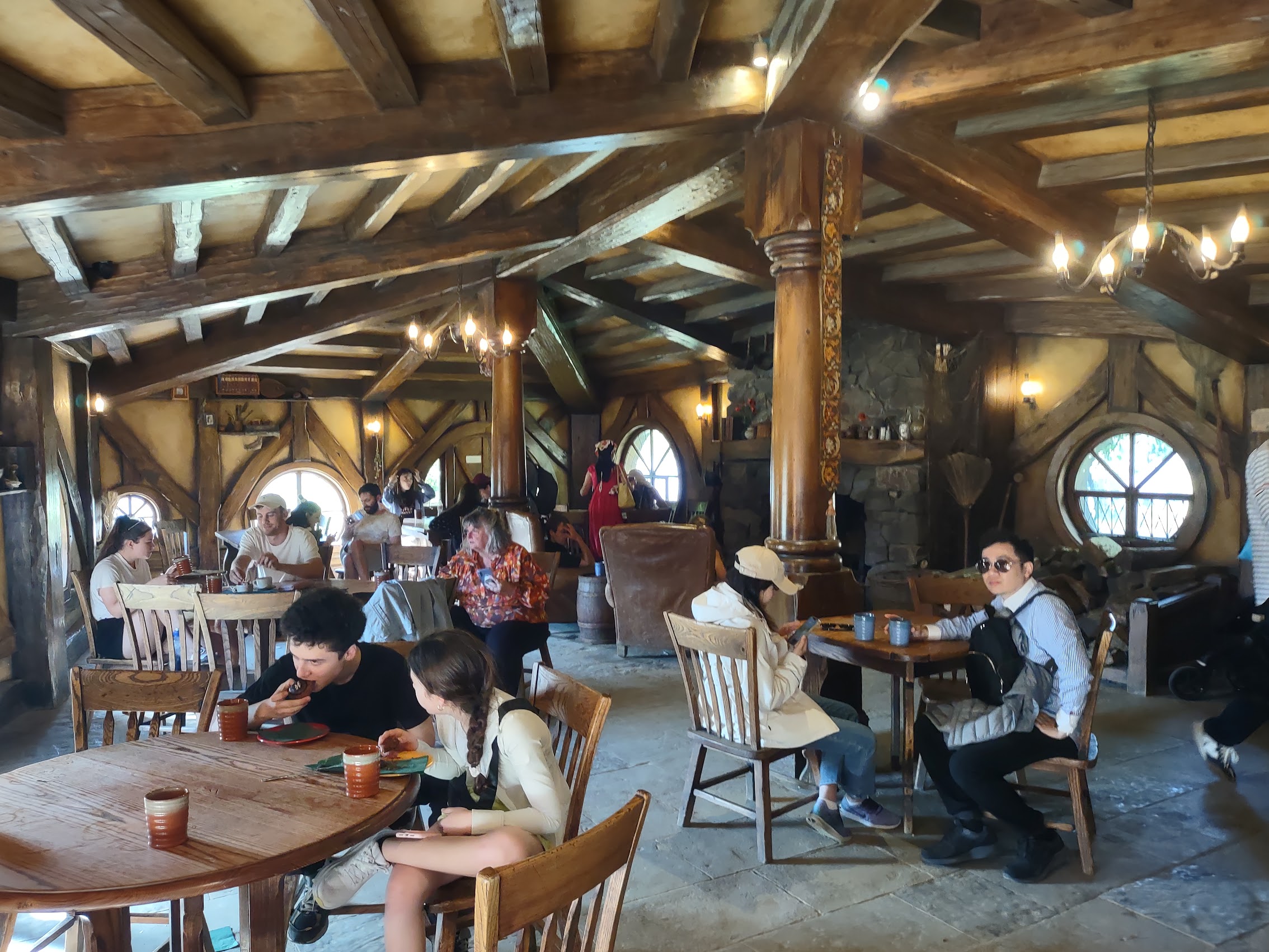
Hobbiton (Saturday March 9th)
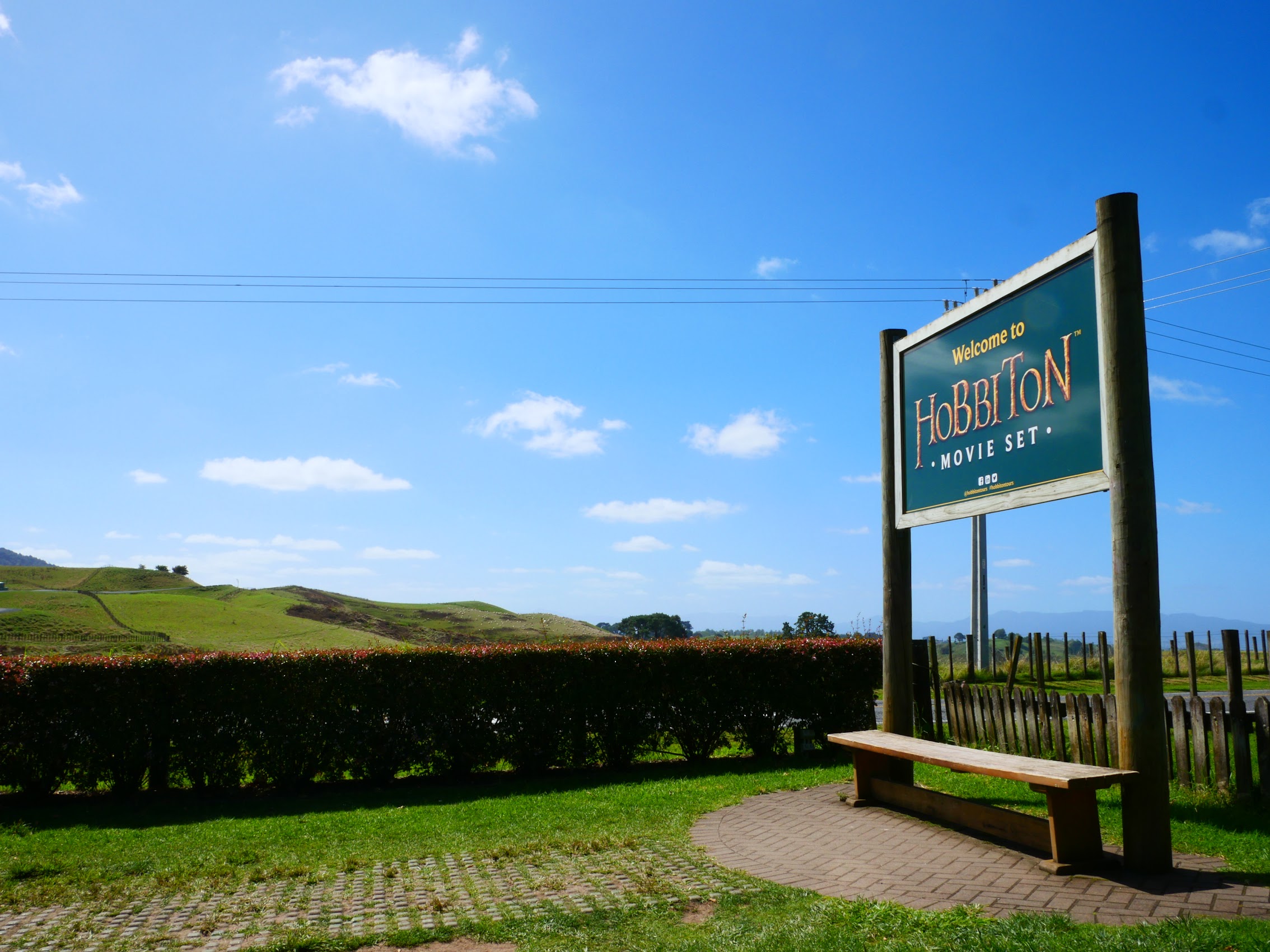
When we began researching our trip to New Zealand, by far one of the most unique and unusual tourist attractions that we encountered was the Hobbiton Movie Set near the town of Matamata located more of less in the geographic center of the North Island.
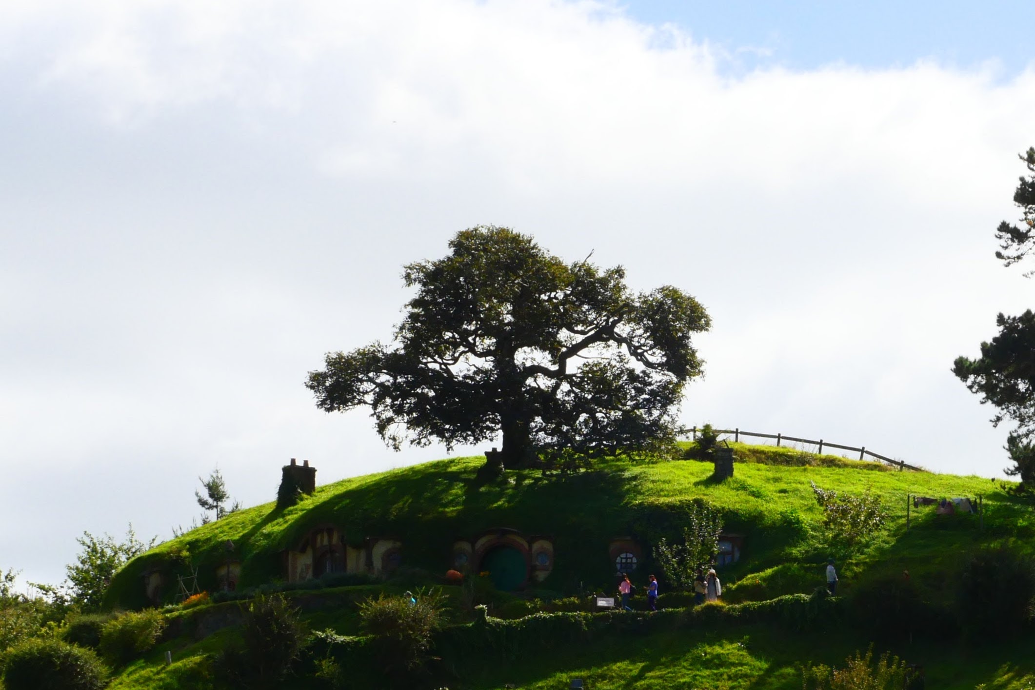
The set, which was used for filming portions of both The Lord of the Rings and Hobbit movie trilogies, was originally constructed in 1999 for the filming of The Lord of the Rings then reconstructed in 2010 in a more permanent fashion for filming of the Hobbit trilogy. It was constructed on a working sheep ranch owned by the Alexander family after being scouted by Sir Peter Jackson (the films’s director) and his crew who thought that its rolling hills and key features – a pond, a hill for Bag End, and a large mature tree in a large field (the Party Tree in the books) made it an ideal location for Hobbiton.
The Hobbiton Movie Set is now owned and operated by a private company owned 50/50 by Sir Peter Jackson (director of the films) and the Alexander family who still operate the sheep farm which surrounds the site. Although attendance dipped during the pandemic, the Hobbiton Move Set now welcomes over 600,000 visitors a year and is one of the most popular tourist attractions in New Zealand. (I should note that while Denny and Wendy, who had never seen any of The Lord of the Rings or Hobbit movies before this trip were on board from the beginning.)
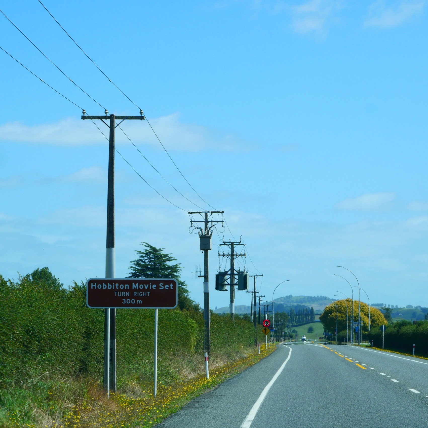
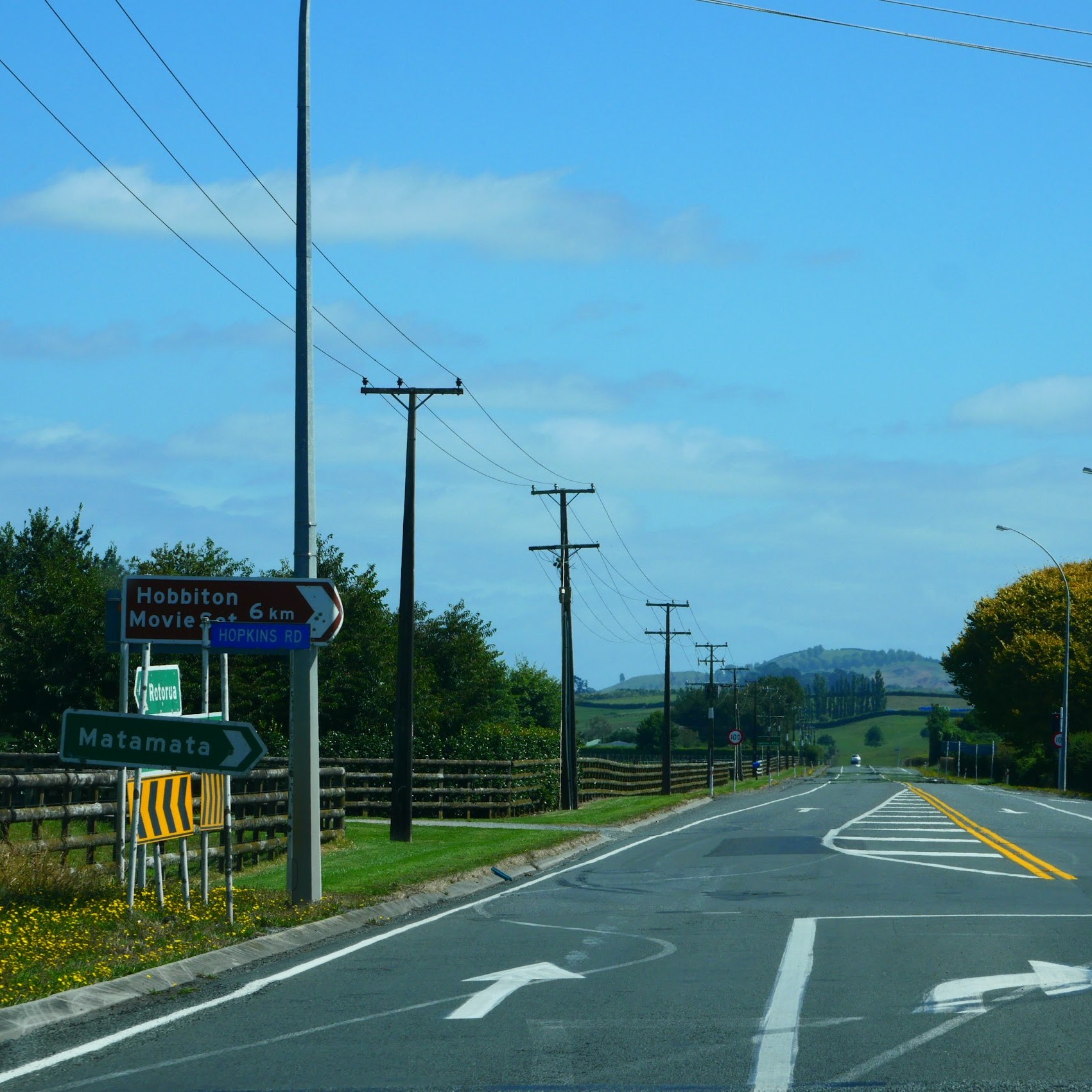
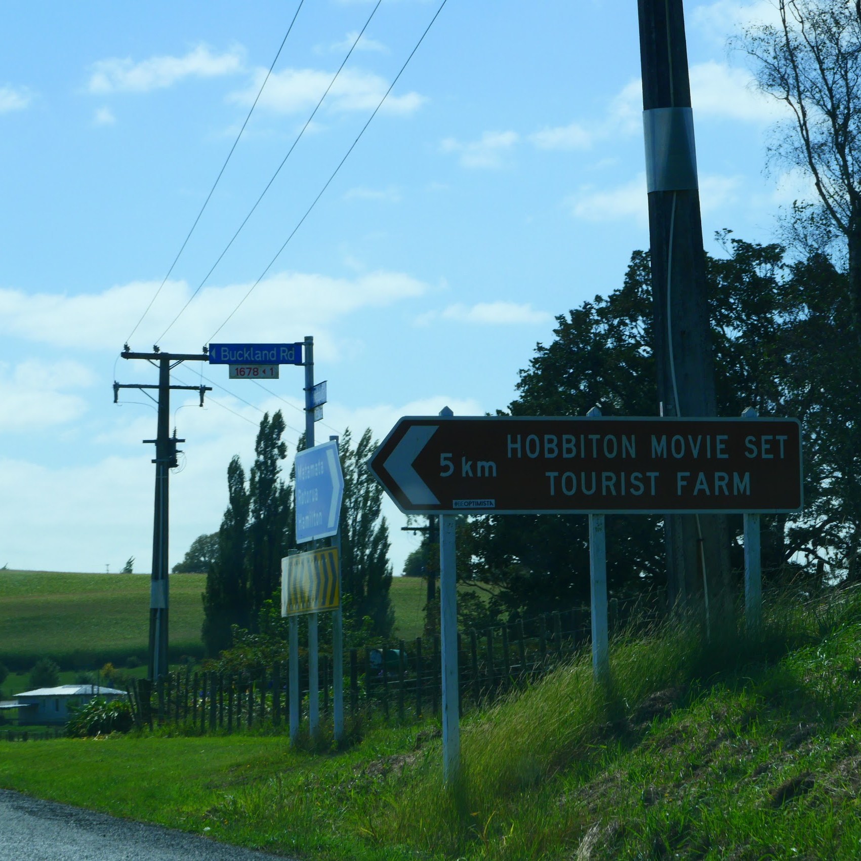
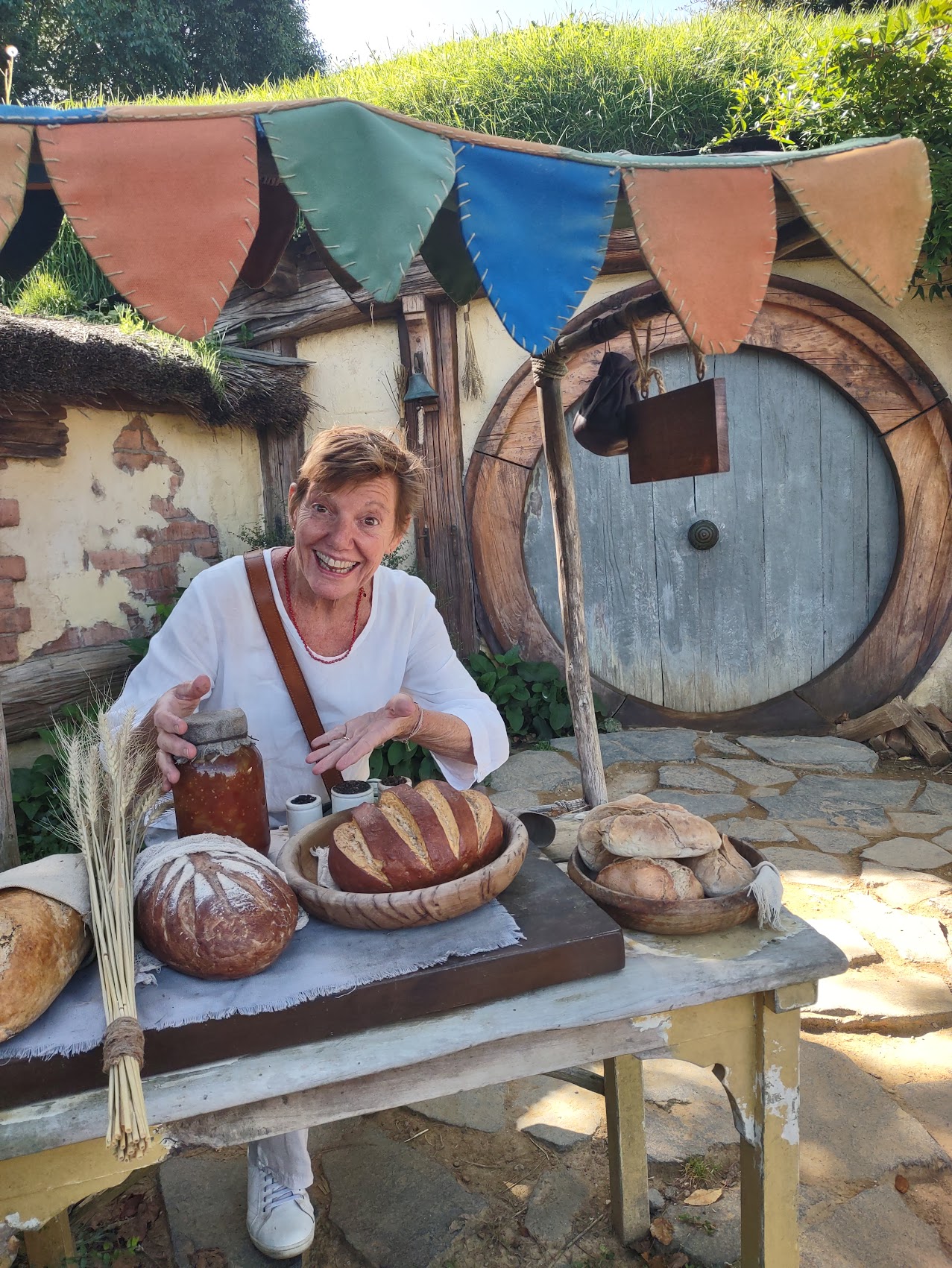
I have to say that from start to finish this was probably one of the best organized tours that we have ever taken, starting with finding the place (which is pretty much in the middle of nowhere). There was plenty of signage along the way (literally, every turn was marked once we came off the highway), to ensure we found our way there. Upon arrival, we were directed to parking, checked-in, and confirmed the start time of our tour and the location where we were to queue for the tour.
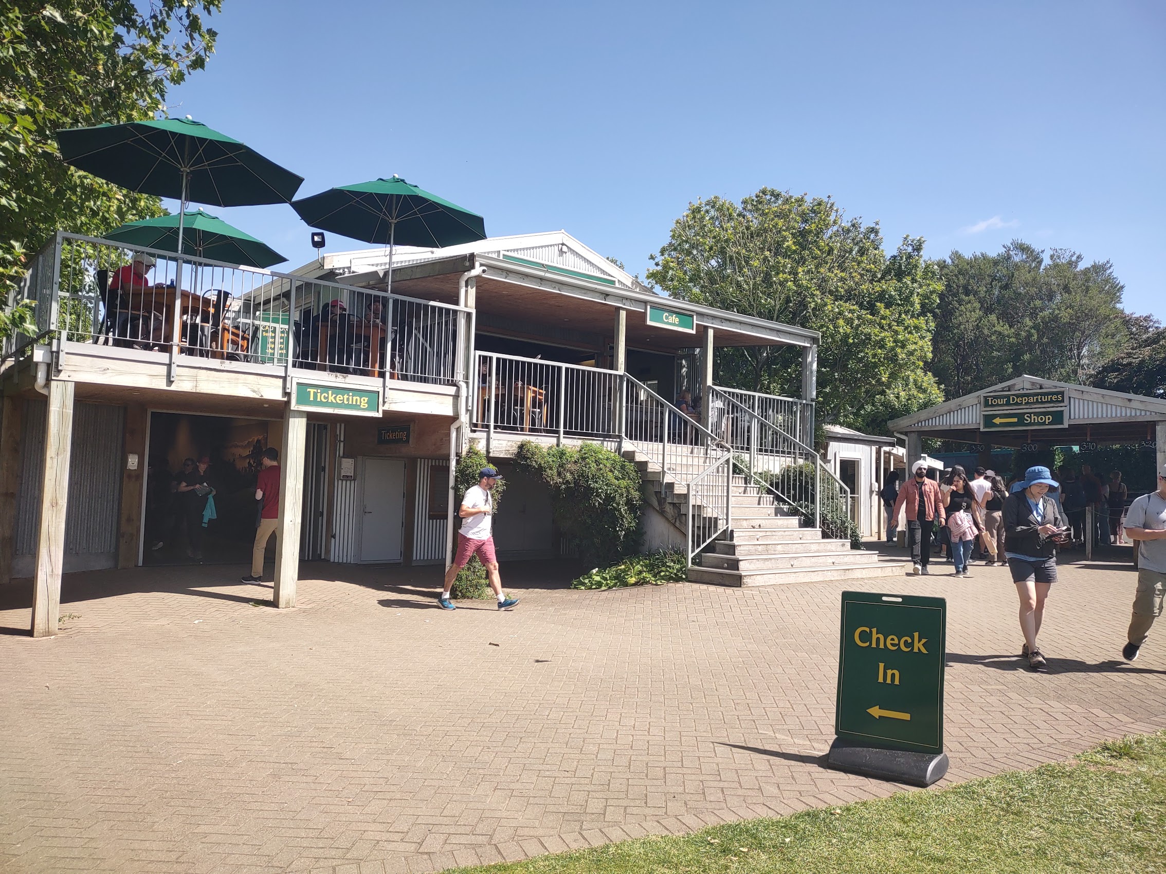
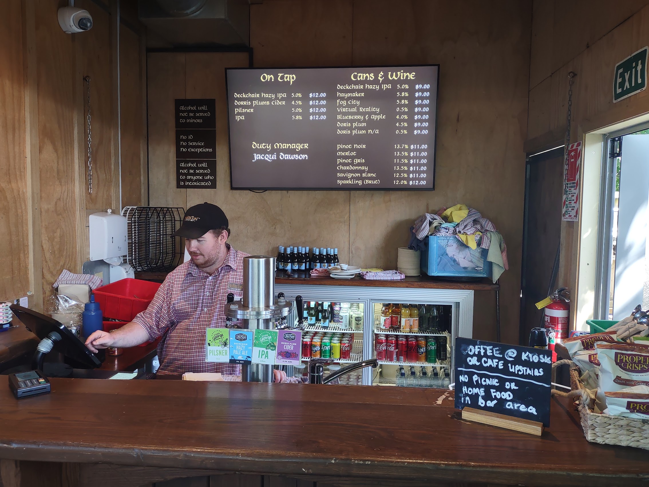
We arrived early enough to grab a quick Hobbit bite and a pint and have a peek at the gift shop before returning to the queuing area where we met Athina, a very enthusiastic young Asian woman who was our guide. From the queuing area our relatively small tour group (about twenty people) was loaded onto a shuttle bus which took us through the farm (remember to close the gates behind you!) to the actual movie set site (only about 14 of over 200 acres which make up the farm). Along the way we learned how the site was selected and how it eventually became a tourist destination.

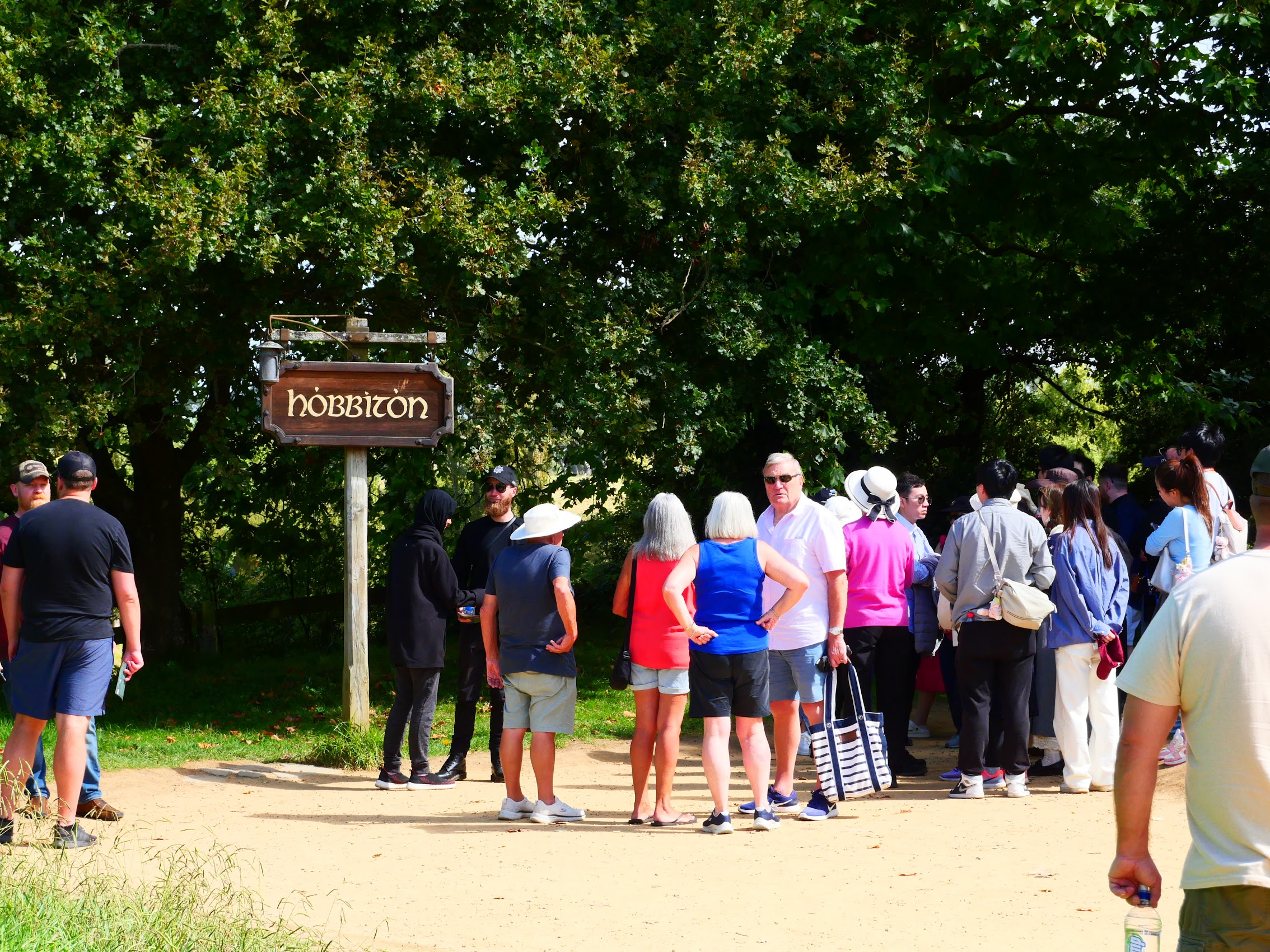
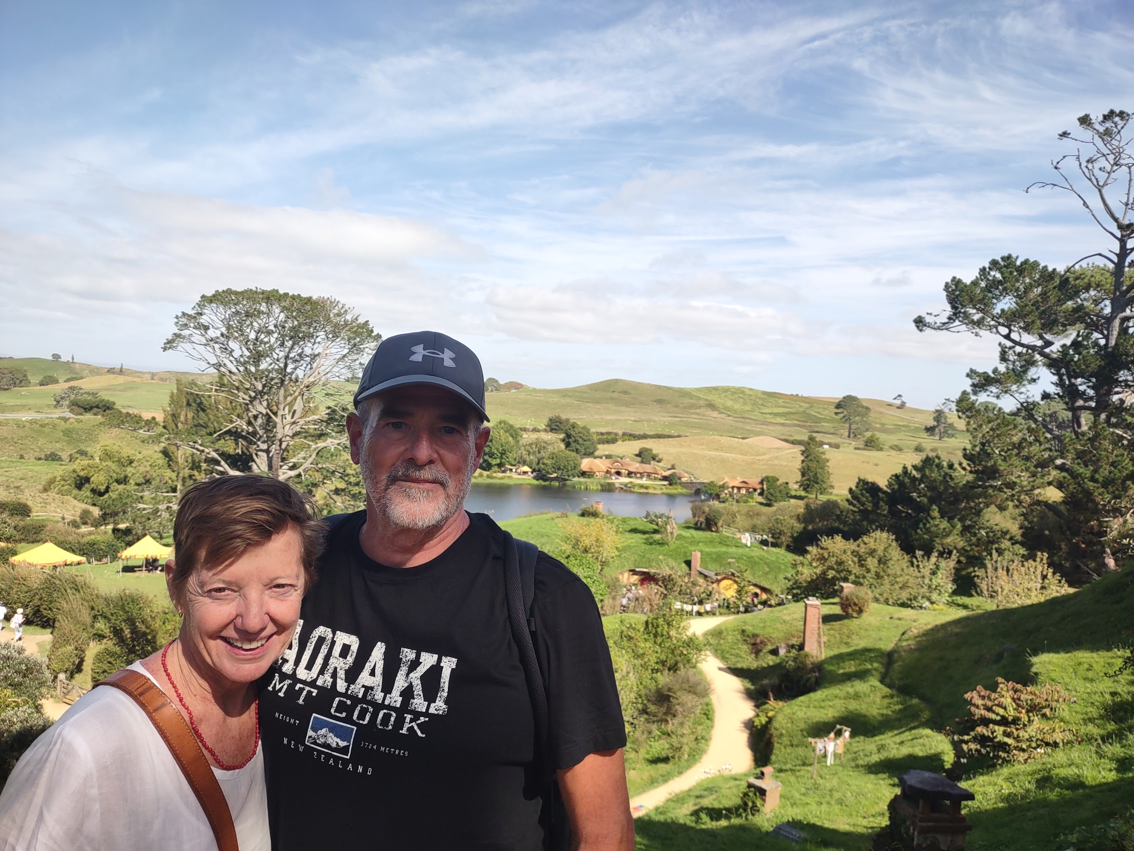
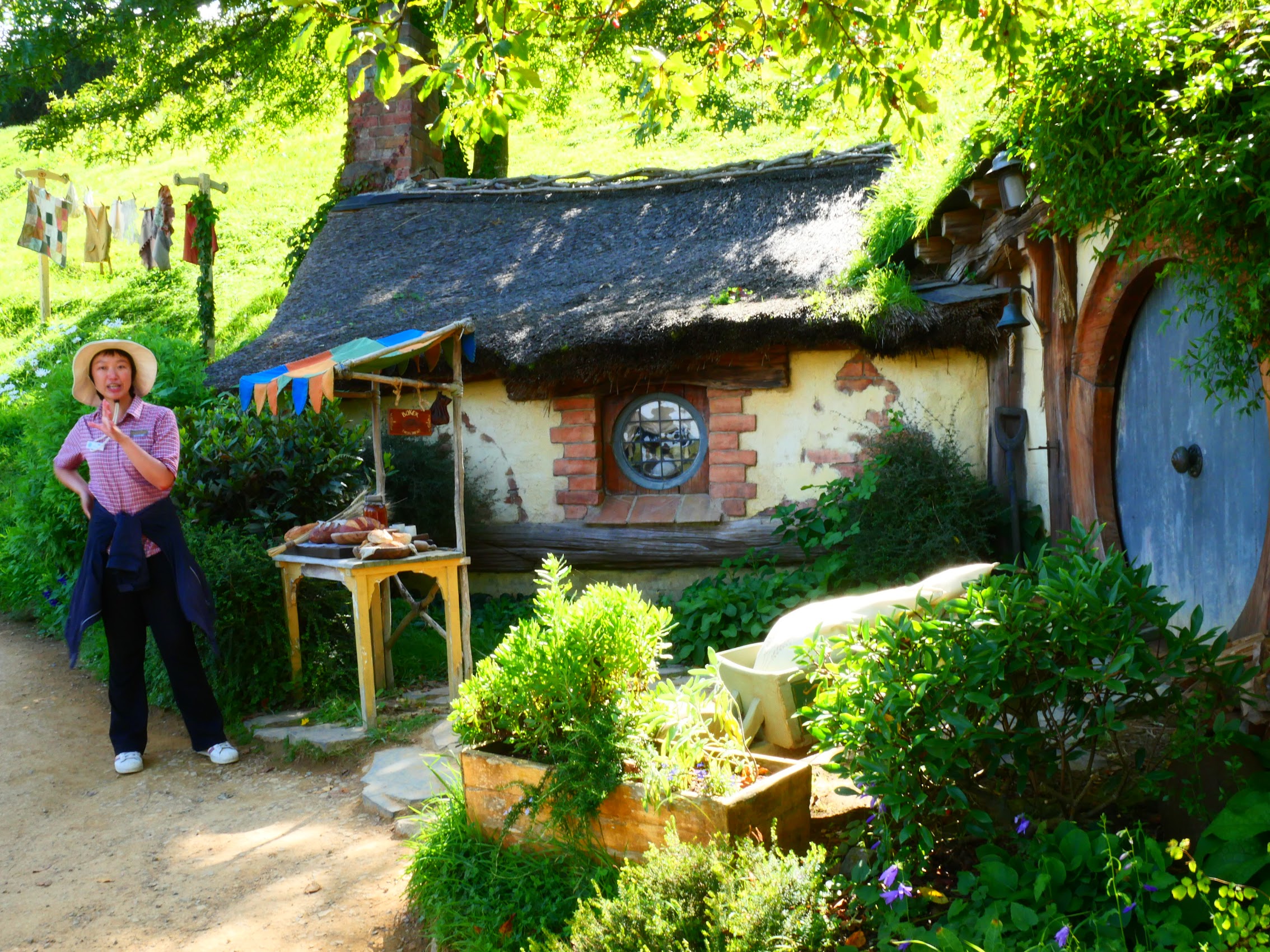
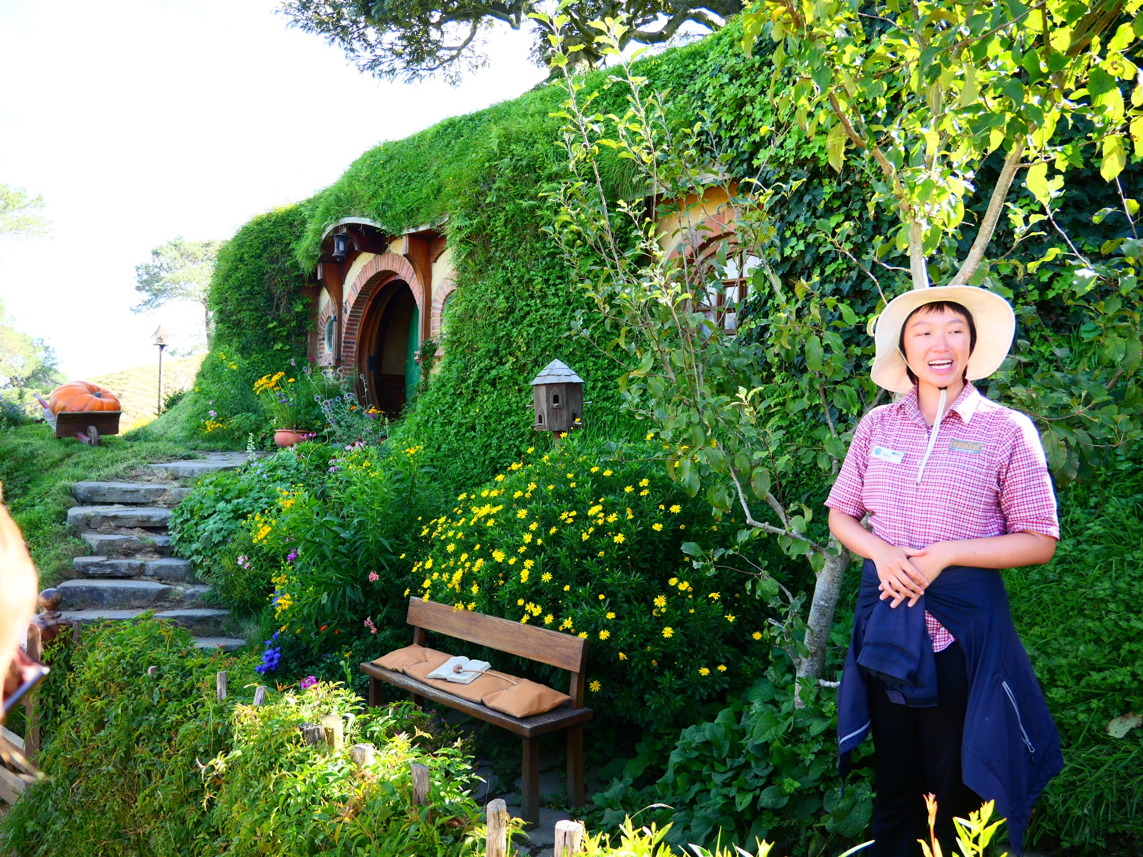
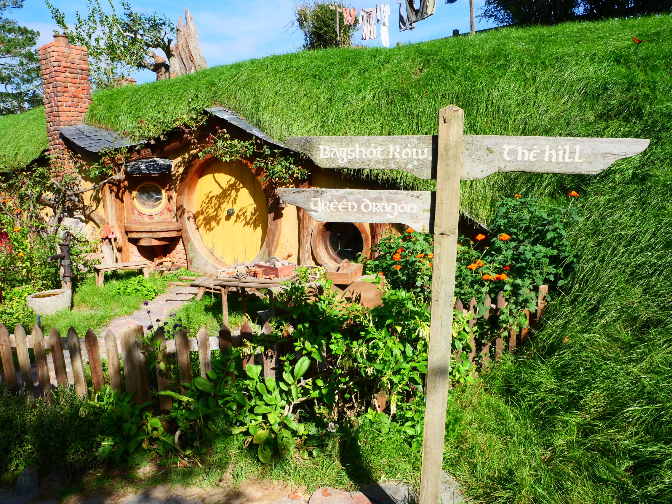
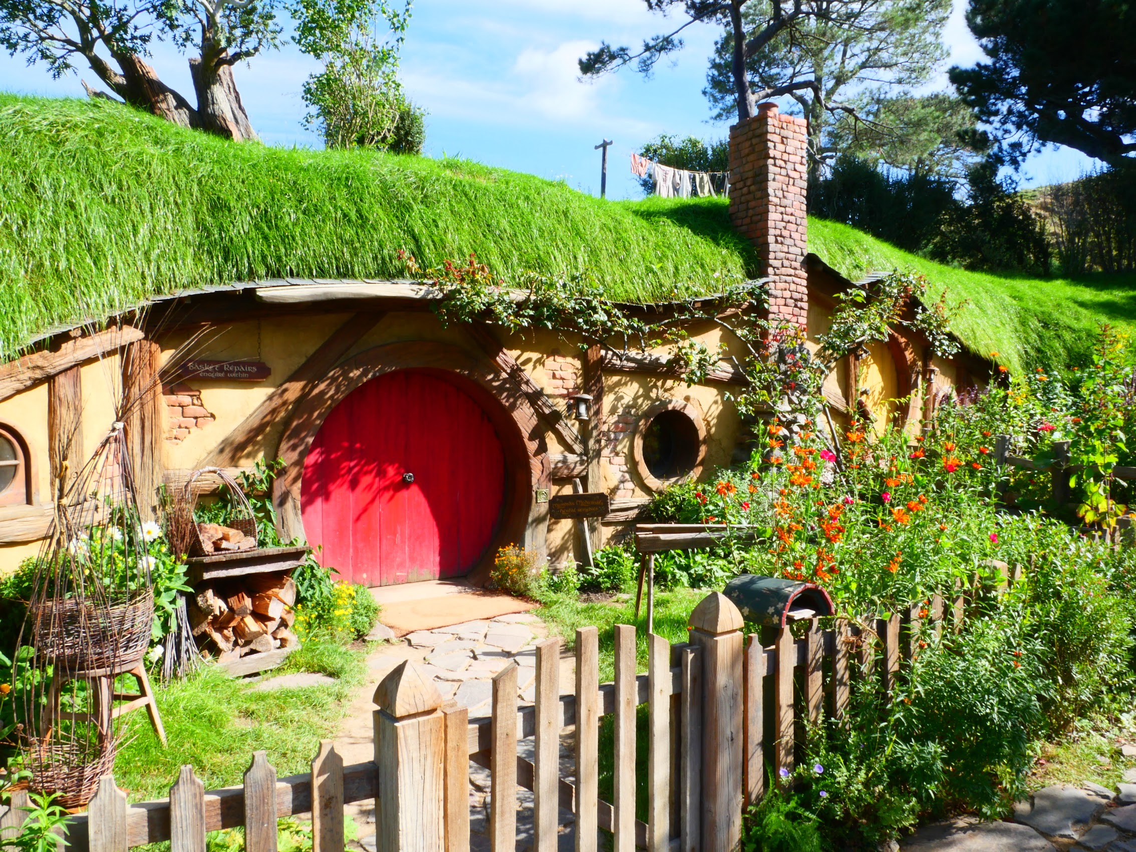
Our shuttle dropped us at the end of a trail which we followed down into a shallow valley and then, suddenly, Hobbiton lay before us with Hobbit holes lining the valley (a total of 44 of them, most of which are just facades), and Bagshot Row with Bag End (the hole where Hobbits Bilbo Baggins and later Frodo Baggins resided) at the top of the hill. We made our way through, stopping at select locations so that Athina could tell us about both the place and how it was created.
I have to note that the choreography of the tours was extremely well done. Once on the set, the movement of groups from one location to another was tightly scheduled and choreographed such that one tour group never ran into another and, when you did see another group, it was usually at a distance.
Perhaps the most noteworthy feat of film engineering on the set is the large oak tree at the top of the hill which overhangs Bag End. The original tree which was cut up and relocated to the site was demolished after filming of The Lord of the Rings and reconstructed in a smaller version for the Hobbit (which takes place 60 years before TLOR) of steel, fiberglass, and hundreds of thousands of hand-painted silk leaves. (If they hadn’t told us it was artificial, we would have thought it was real!)

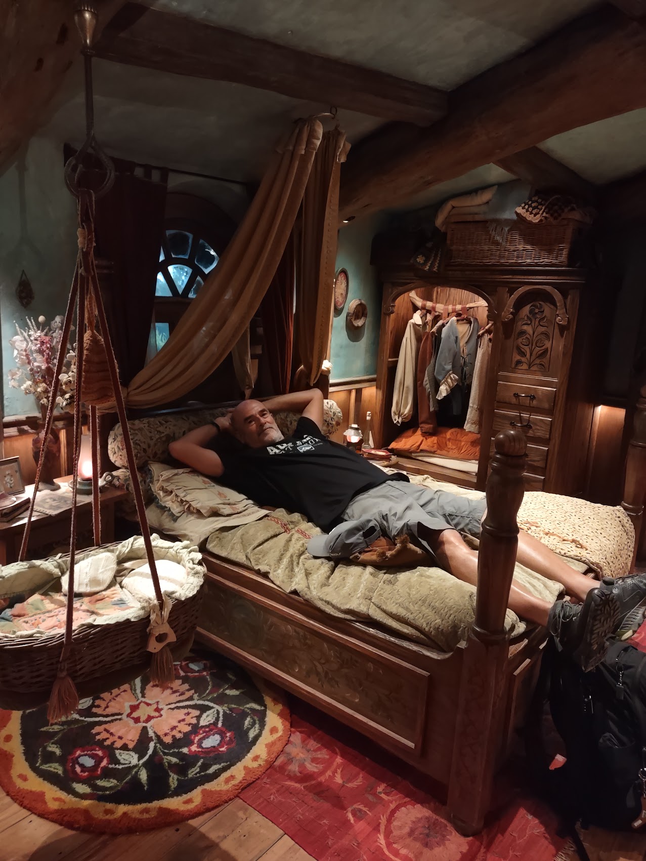
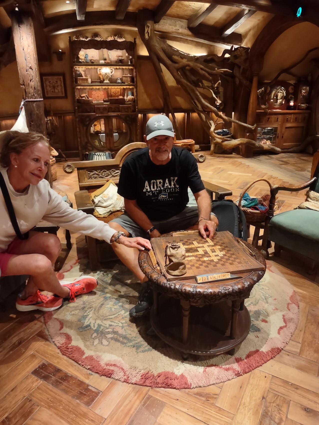
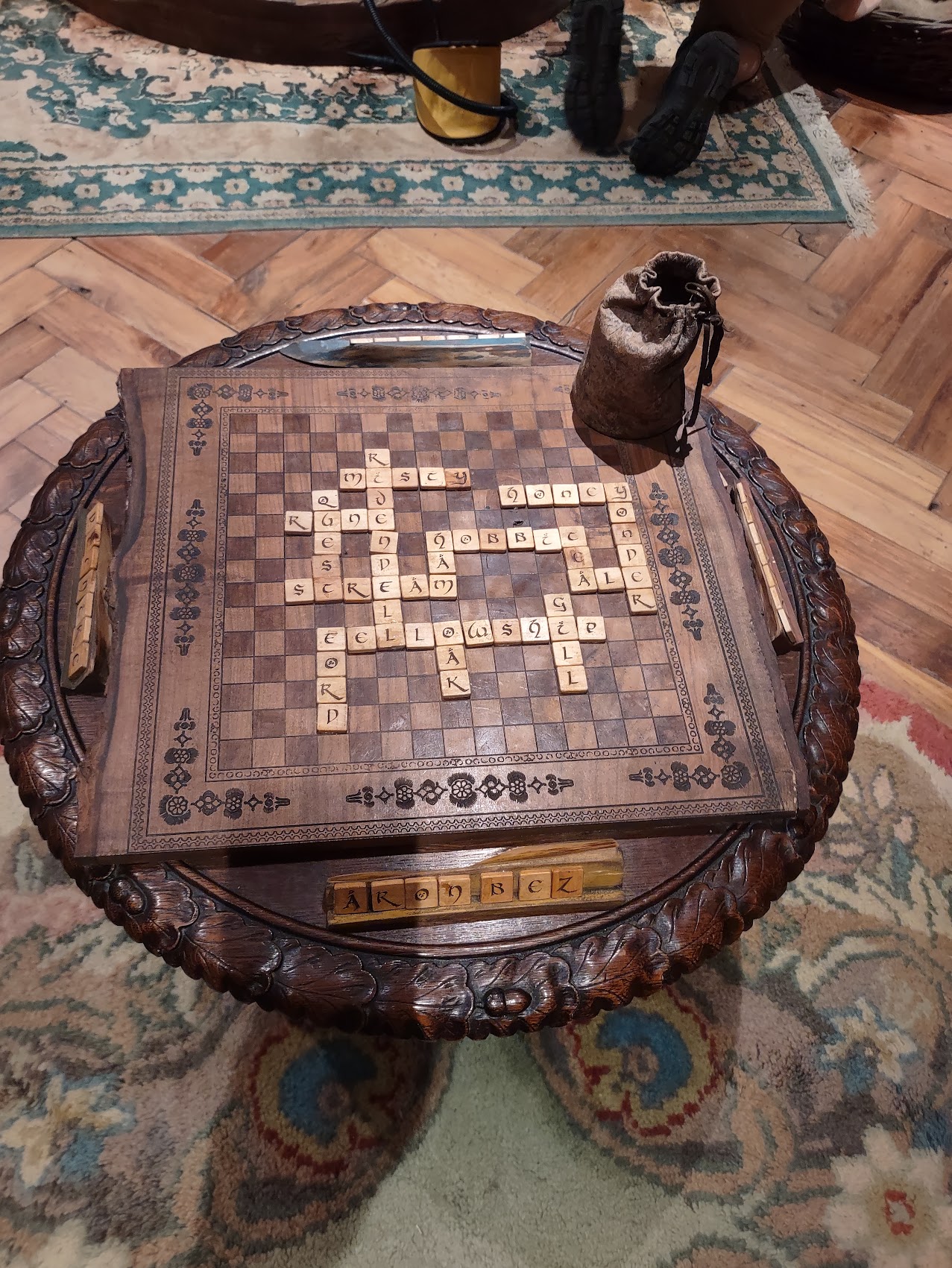
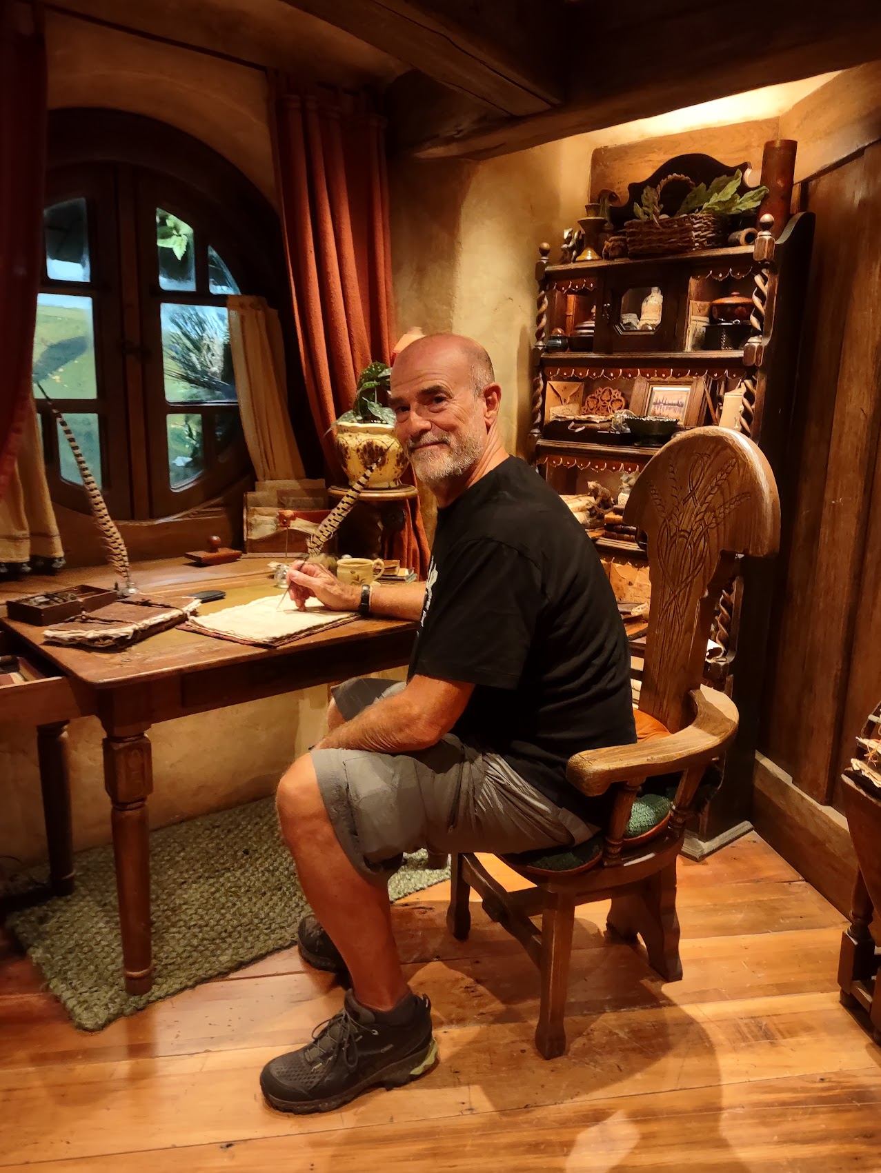
The set’s newest and most interesting attractions are two Hobbit hole interiors, which were opened in December 2023. (Not used for filming the movies – all of the interior hobbit hole scenes in the movies were filmed on sound sets.) While the ceiling heights were high enough for humans, all of the furnishings (including the beds!) were Hobbit sized. It was great fun wandering around and looking at all of the little details and furnishings (most of which were fixed in place) and we even had the opportunity to play a bit of Scrabble in Elvish!


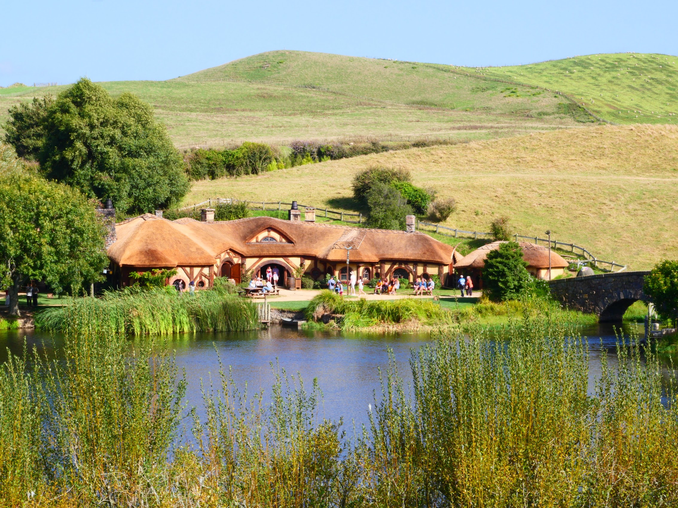
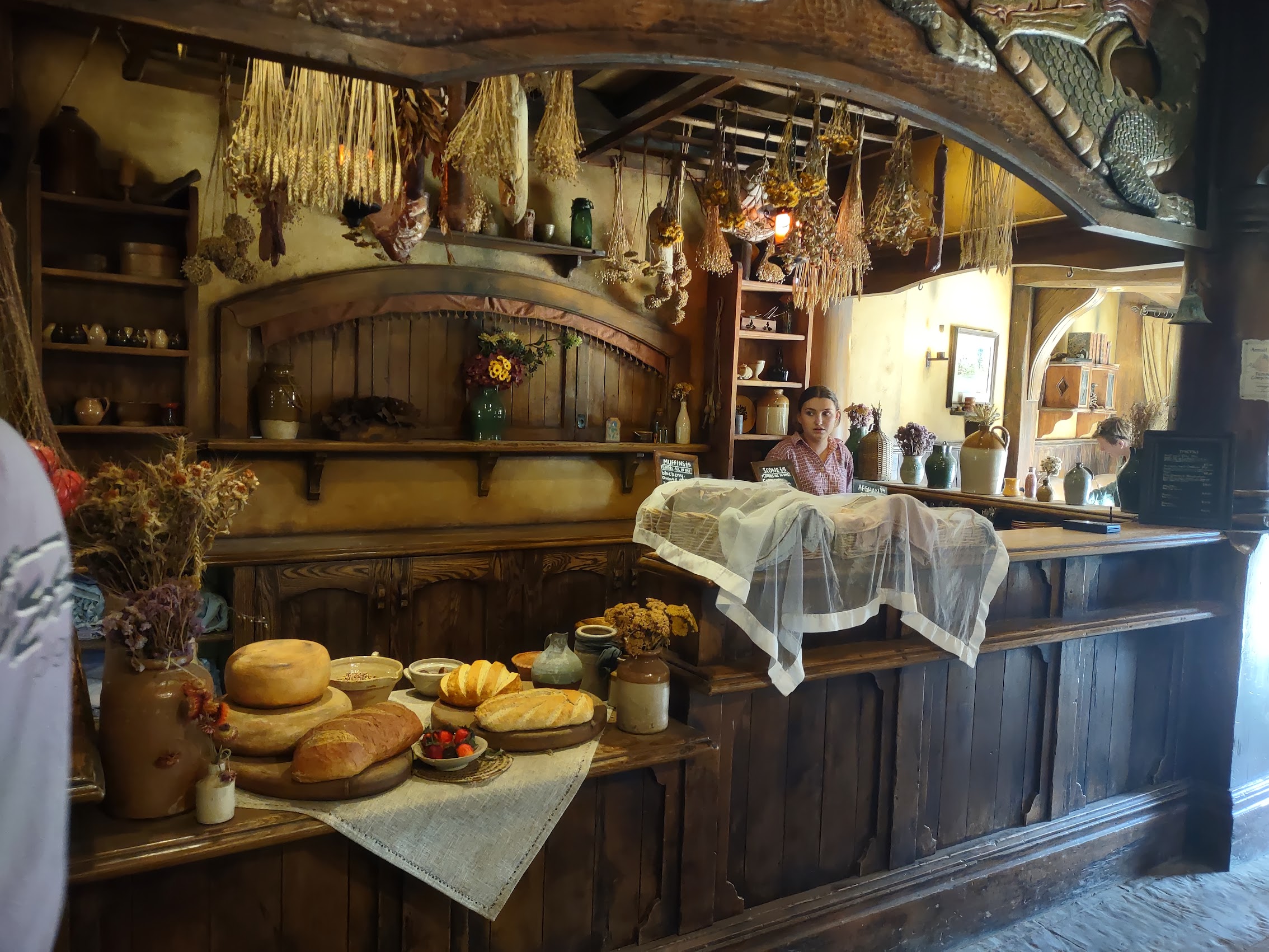
Our tour finished at the Green Dragon Inn, across the pond, where we had an opportunity to enjoy some cold ale and enjoy the scenery across the pond before returning to the Visitor Center on our shuttle.

Before heading out we returned to the Gift Shop where we purchased some post cards and a tea towel for our daughter Adrienne (the biggest TLOR fan of our three children which listed the seven daily meals of Hobbits. (If you don’t know them, they are Breakfast: The first meal of the day, Second Breakfast: A hearty meal eaten after the first, Elevenses: A snack or light meal in the late morning, Luncheon: The main midday meal, Afternoon Tea: A light afternoon meal, typically featuring tea, scones, and other treats, Dinner: The main evening meal, and Supper: A late evening meal.)

Although a bit pricey ($120 USD per person), the tour was well worth it. Really a wonderful and (literally) fantastical experience, even for Denny and Wendy (hopefully more so as we had previewed the films with them before our arrival). After a thoroughly entertaining afternoon, we said goodbye to Hobbiton and continued on our way to our stay for the next two days on the Coromandel Peninsula.
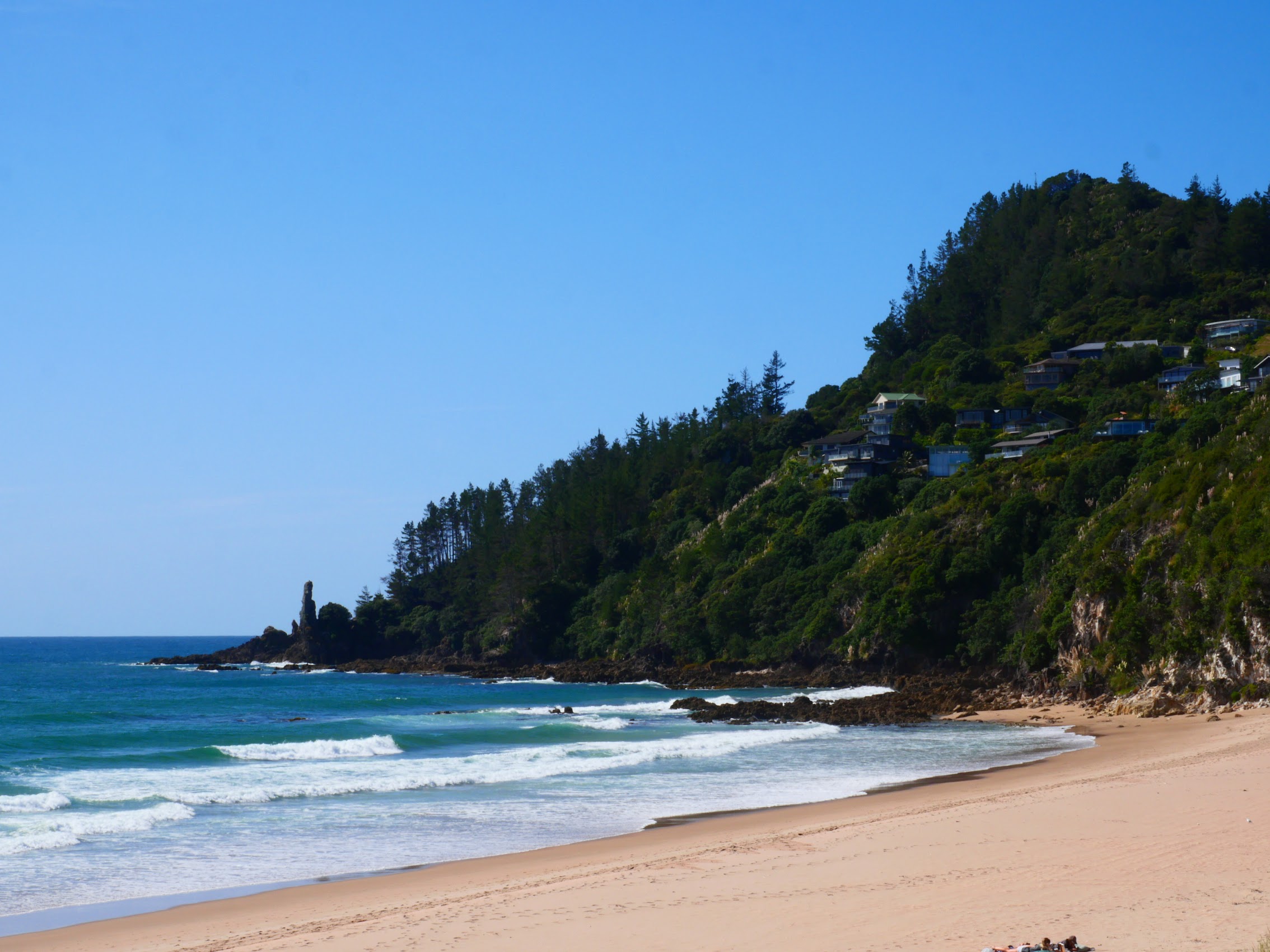
Tairua (Saturday March 9th to Monday March 11th)
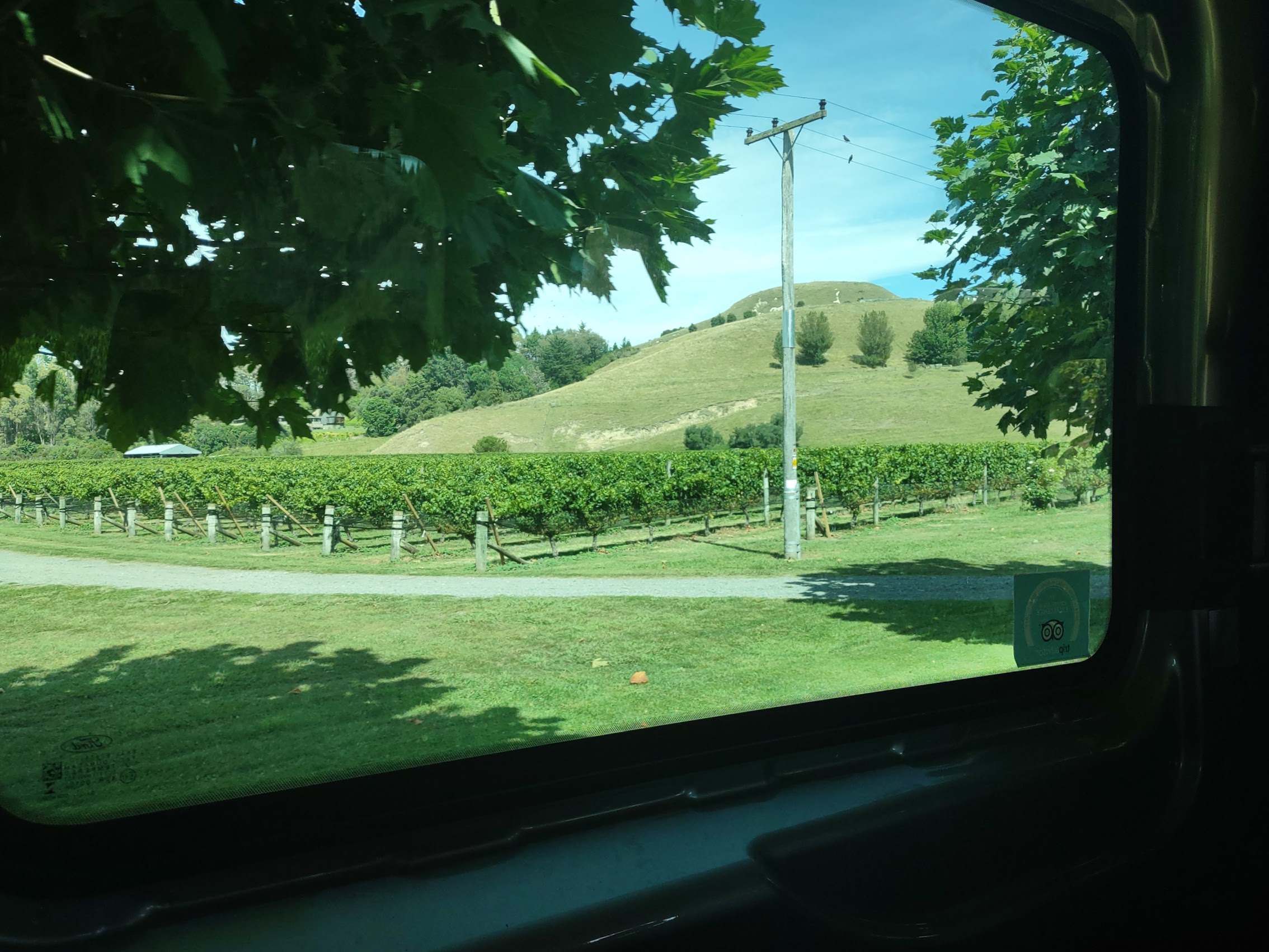
When we were planning our New Zealand itinerary, one of the places Wendy identified to visit was the Coromandel Peninsula, a beautiful rocky stretch of land which extends 85 kilometres north from the western end of the Bay of Plenty, forming a natural barrier protecting the Hauraki Gulf and the City of Auckland in the west from the Pacific Ocean to the east.
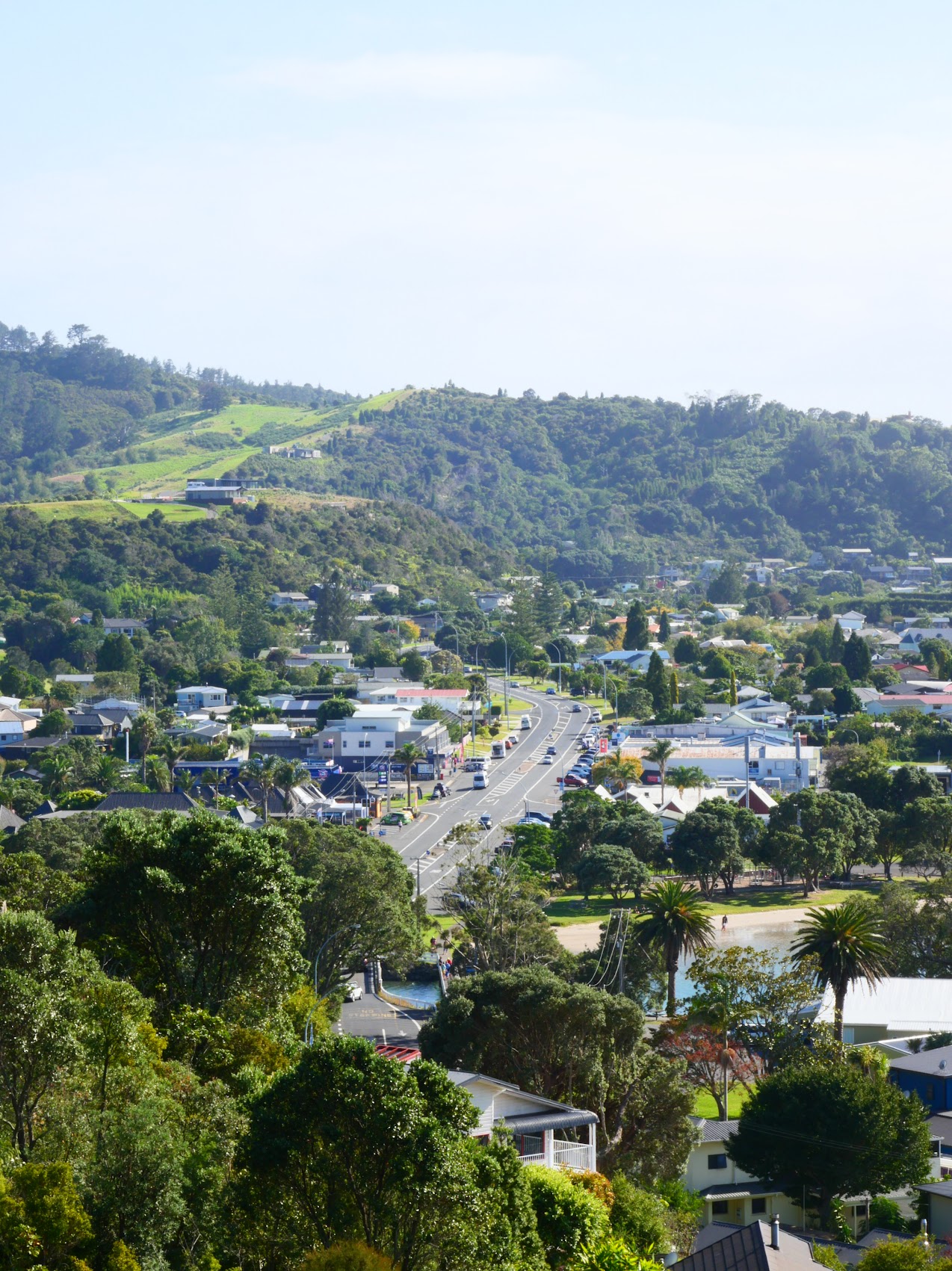
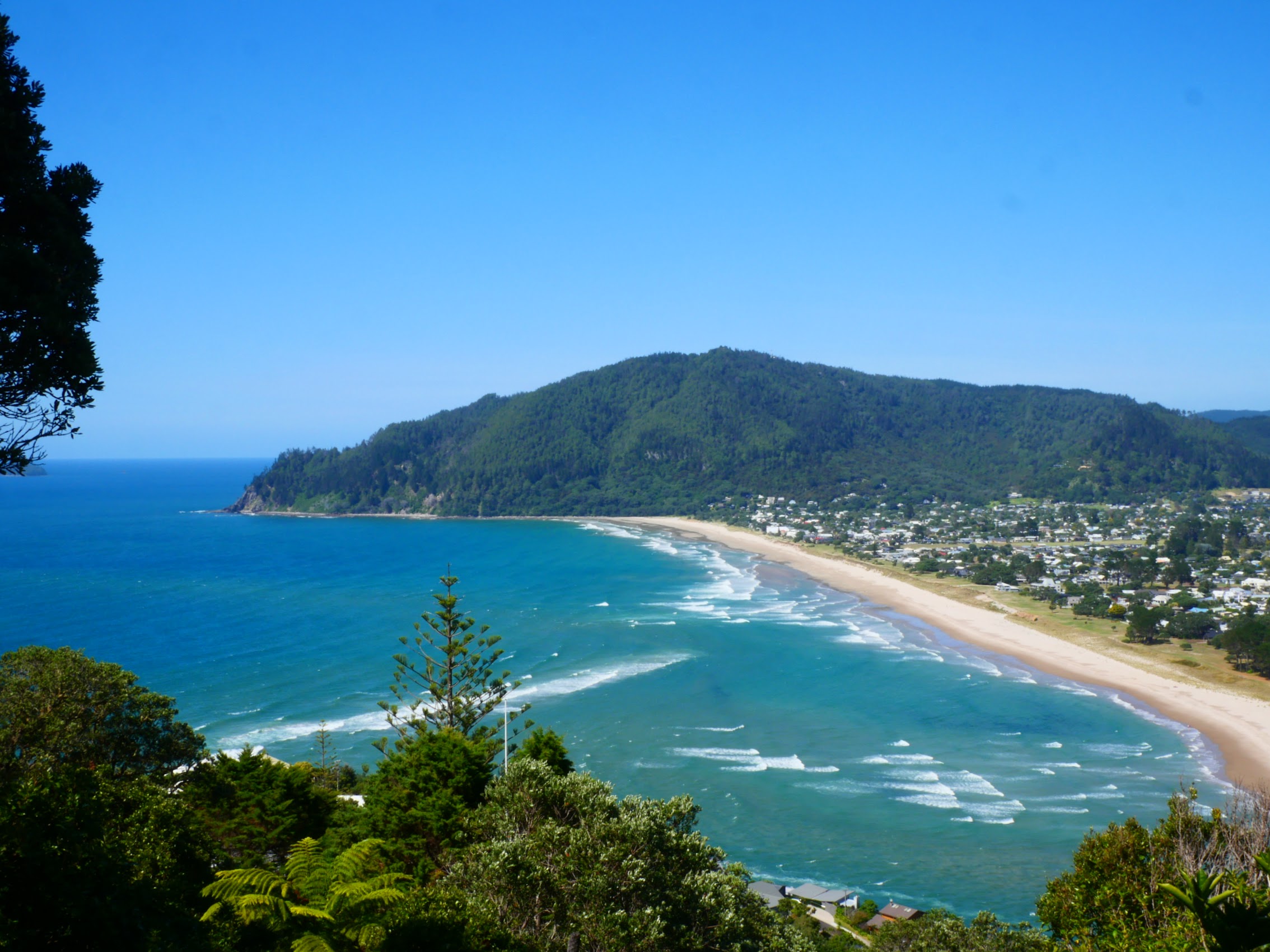
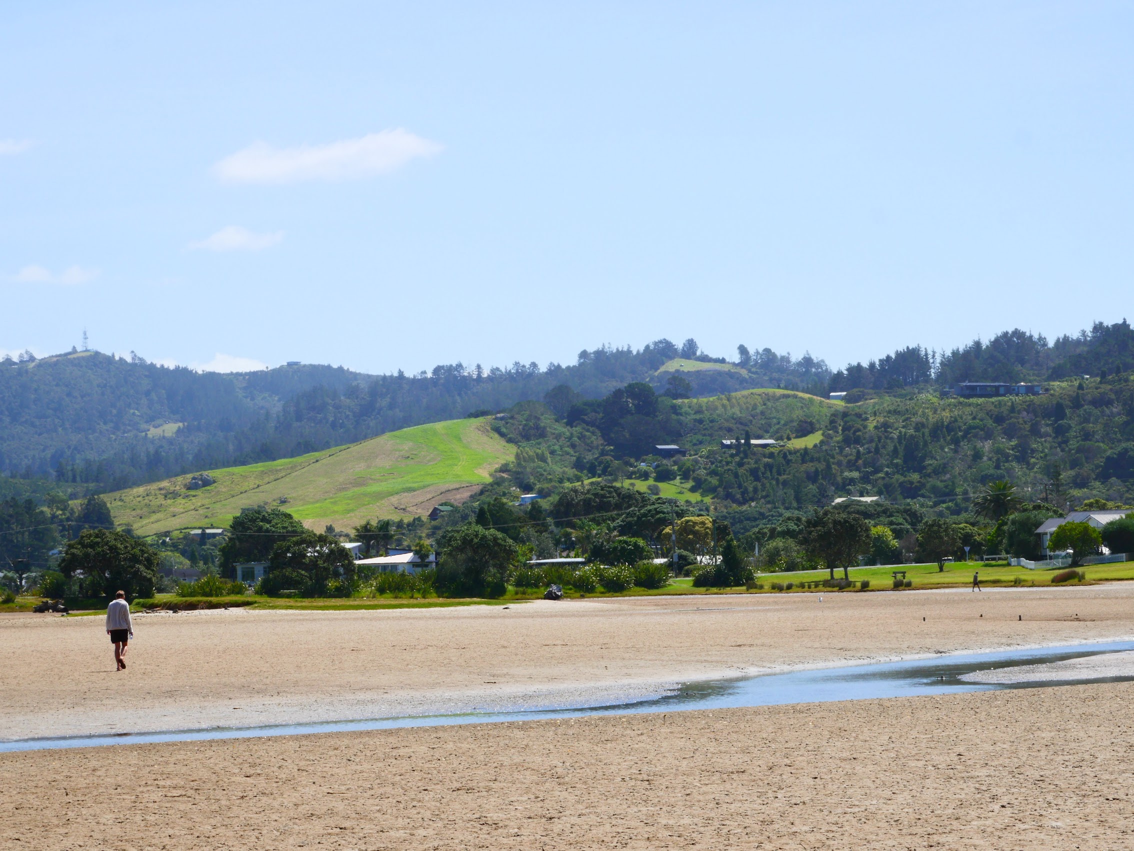
After looking at a number of options in the area, we discovered what looked to be a very nice 3-bedroom house listed on Airbnb as “Enjoy the Views” in the town of Tairua. Tairua is a very small (population about 3,000 people) beachside town located on the east coast of the Coromandel peninsula. Due to its very sheltered harbor, Tairua was one of the first places in New Zealand to be settled by Polynesians followed by Maori.
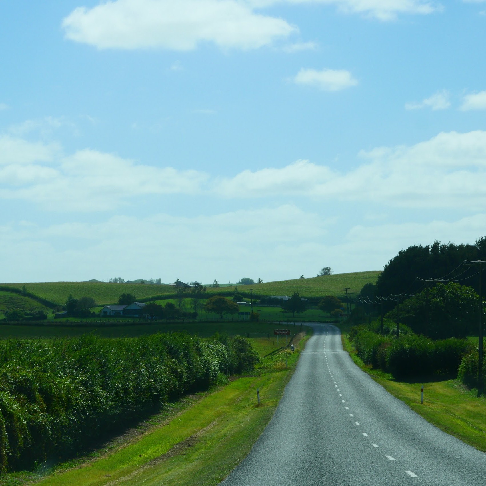
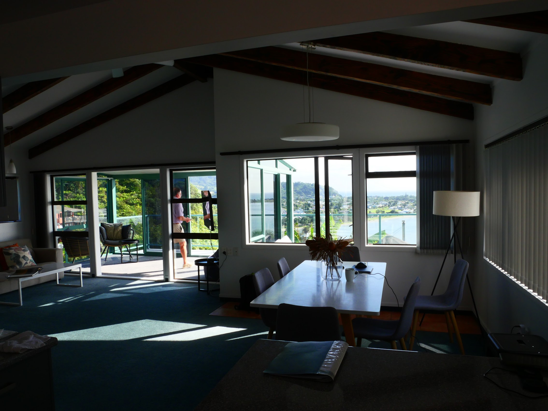
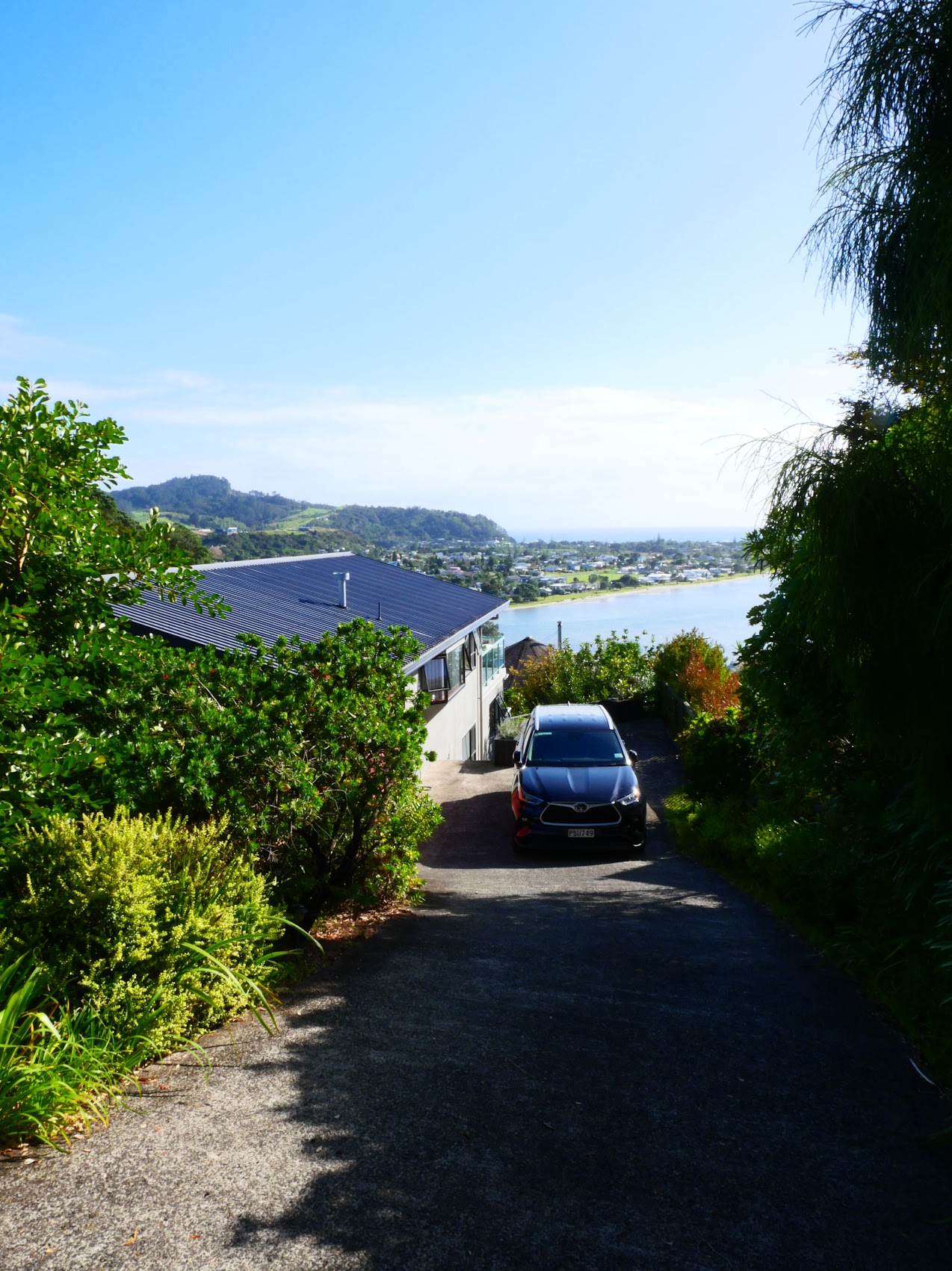
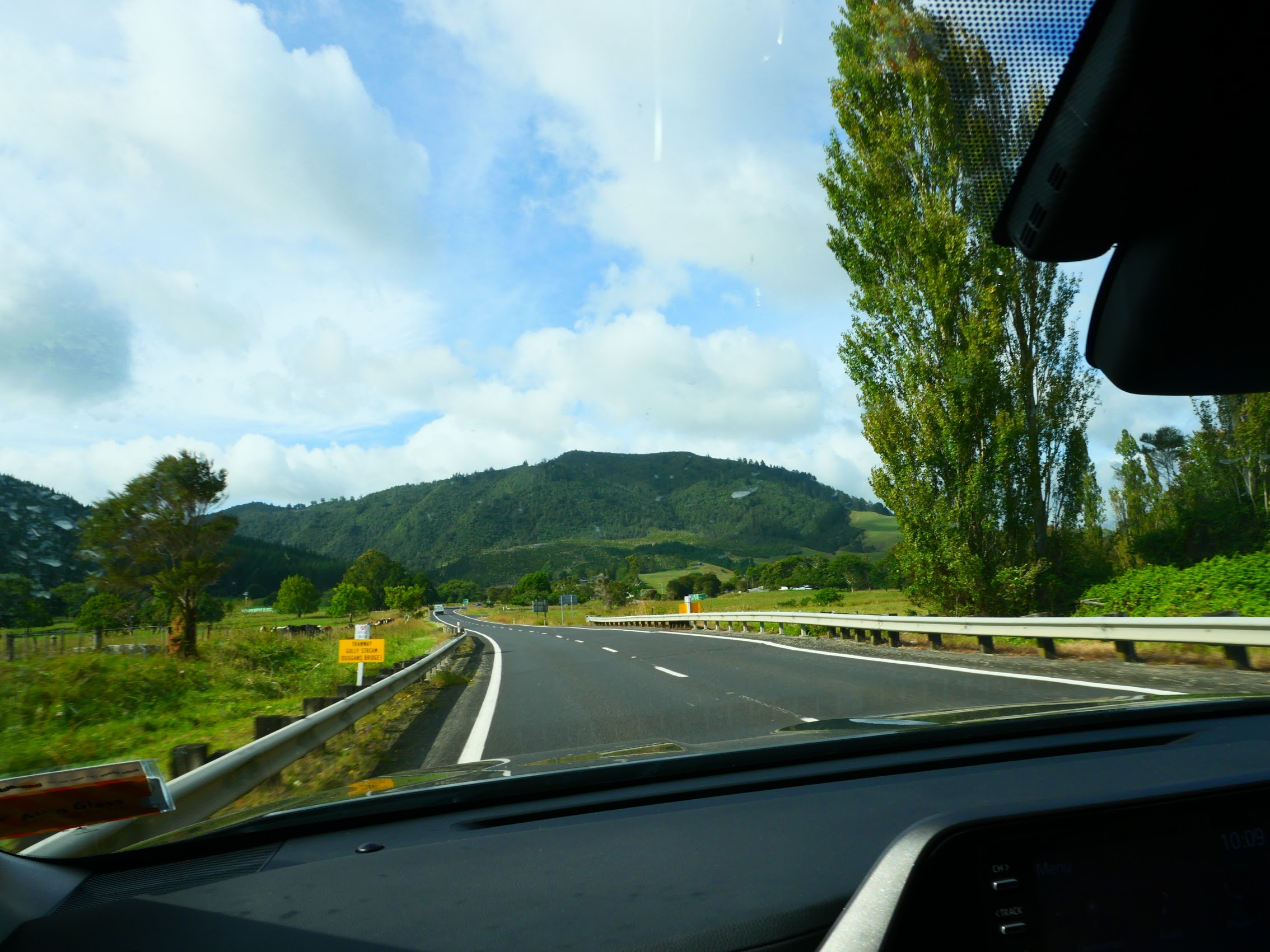
Our drive from Hobbiton to Tairua was again a beautiful one, back across the farmlands of the central North Island with the peaks of the peninsula looming in the distance. The final leg through the Tairu River valley into the bay was particularly spectacular. We arrived at our stay just before sunset after driving up one very steep road then backing down a very steep driveway (which Colleen handled quite well) where we were immediately struck by the views.

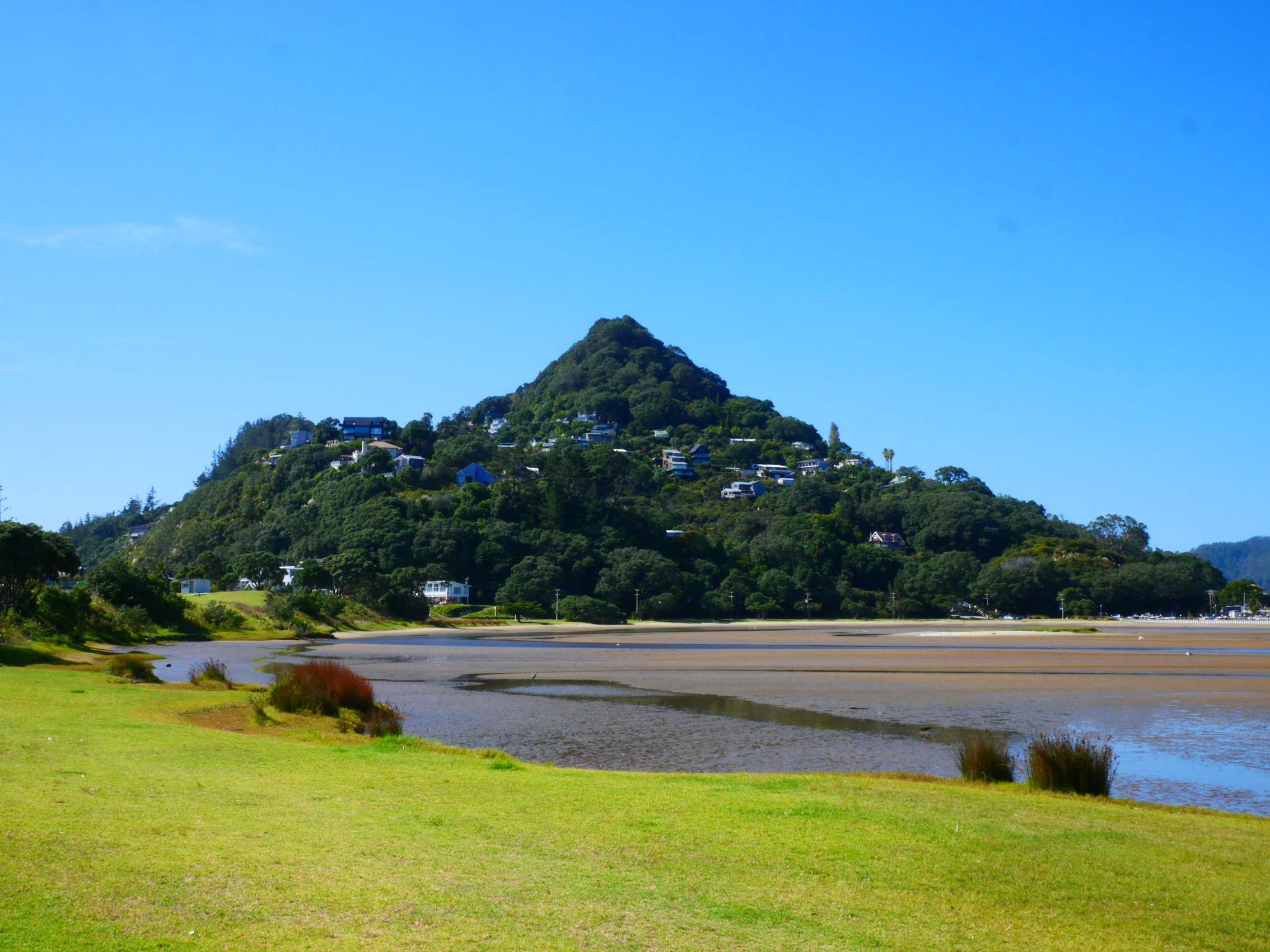
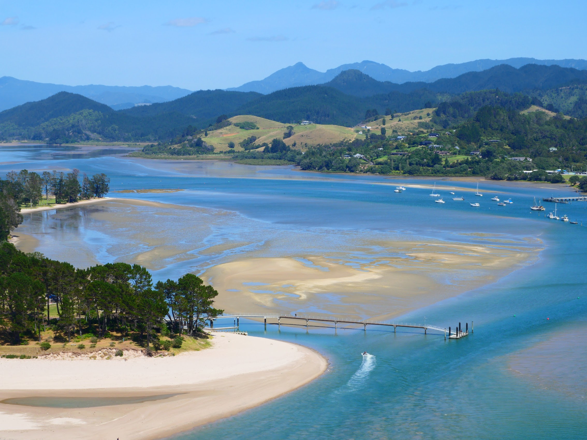
The house itself was very nice and very spacious, clean and well-equipped, stepping down a very steep slope with living areas above and bedrooms below, but oh the views! From both the living areas, bedrooms, and rear decks we had spectacular views of the bay and ocean, as well the town of Tairua nestled in the valley below. Most noticeable was Mount Paku an 800-foot tall volcanic peak located at the end of a peninsula at the mouth of the Tairua River and Bay.

We finished what had been a pretty packed day with a dinner of gnocchi and meatballs which Colleen whipped up along with some great wine from Napier.
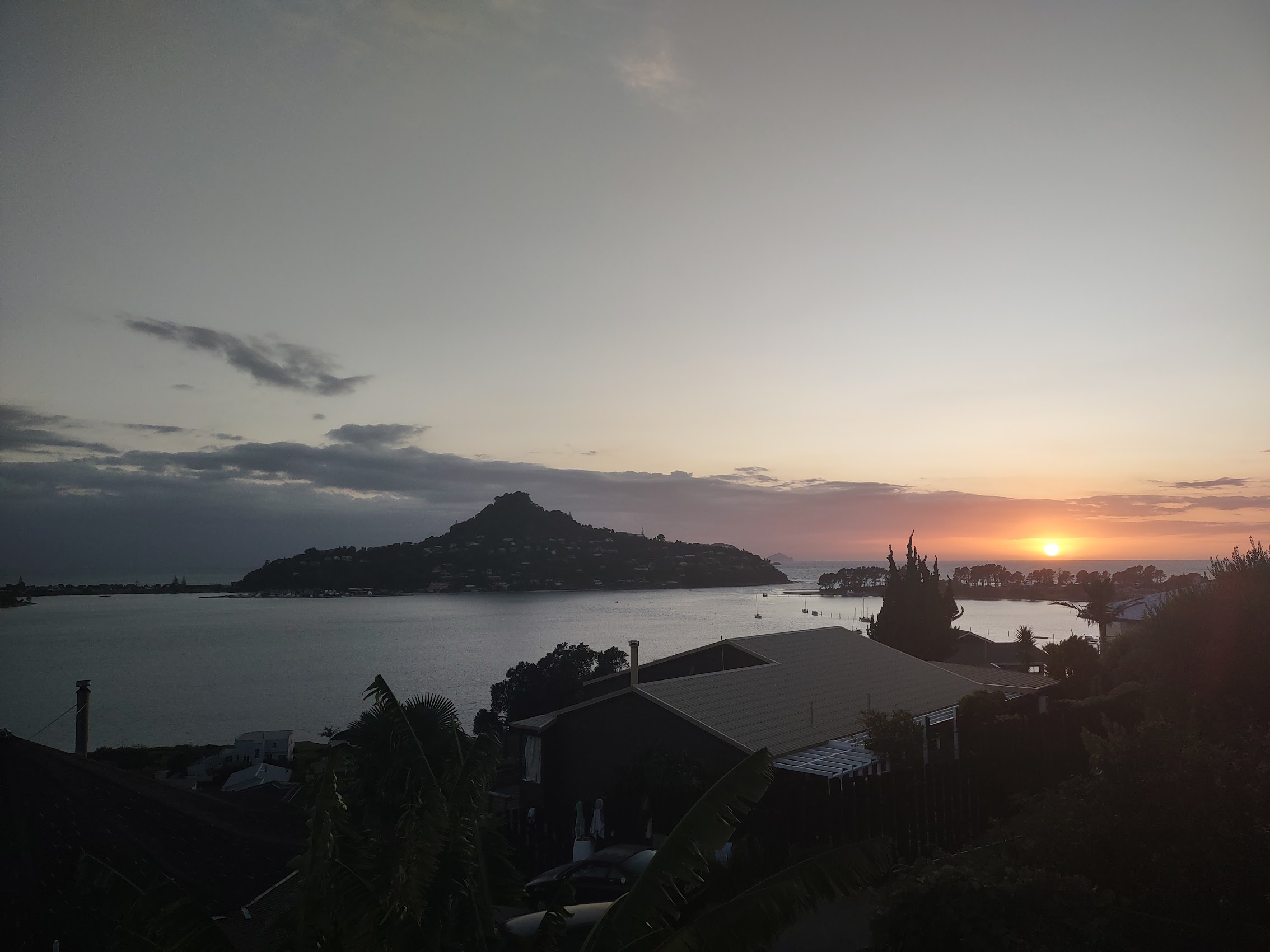
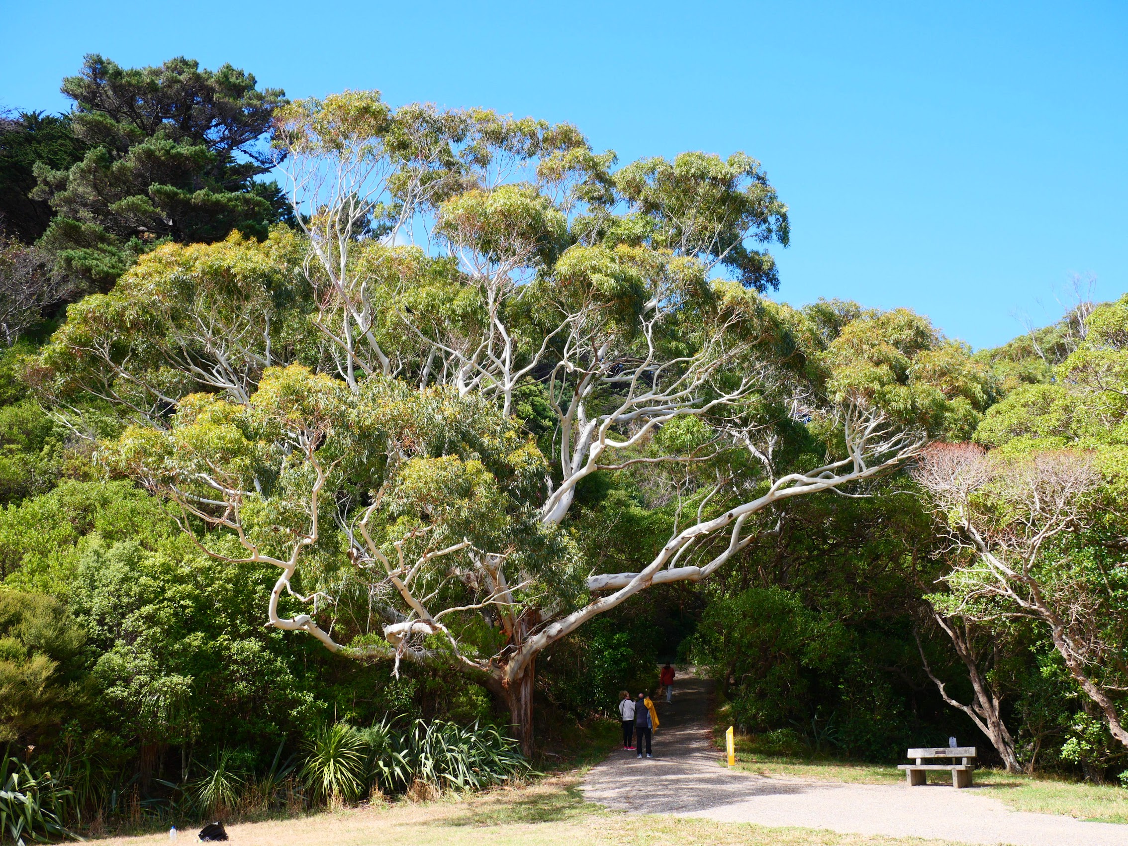
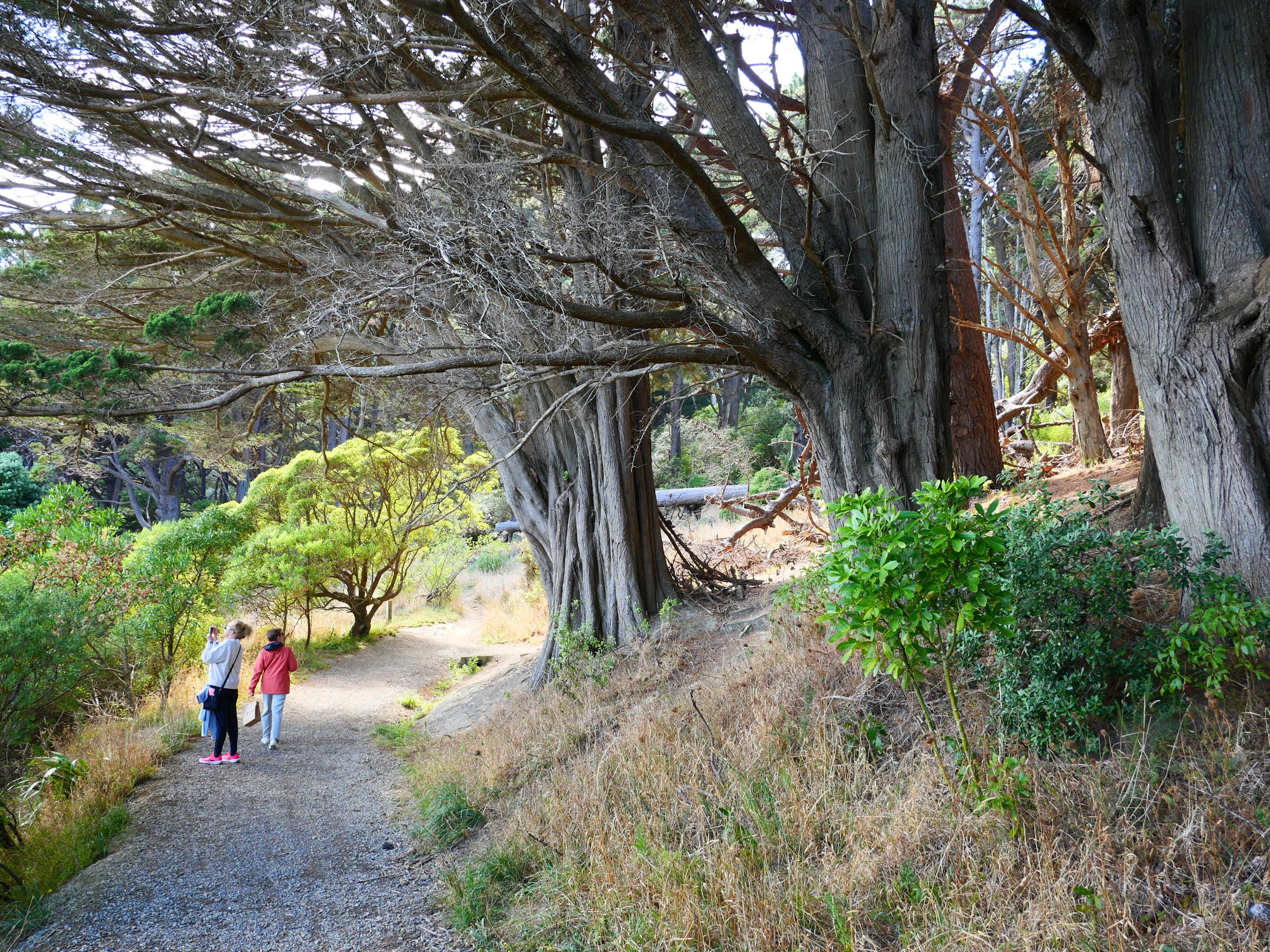
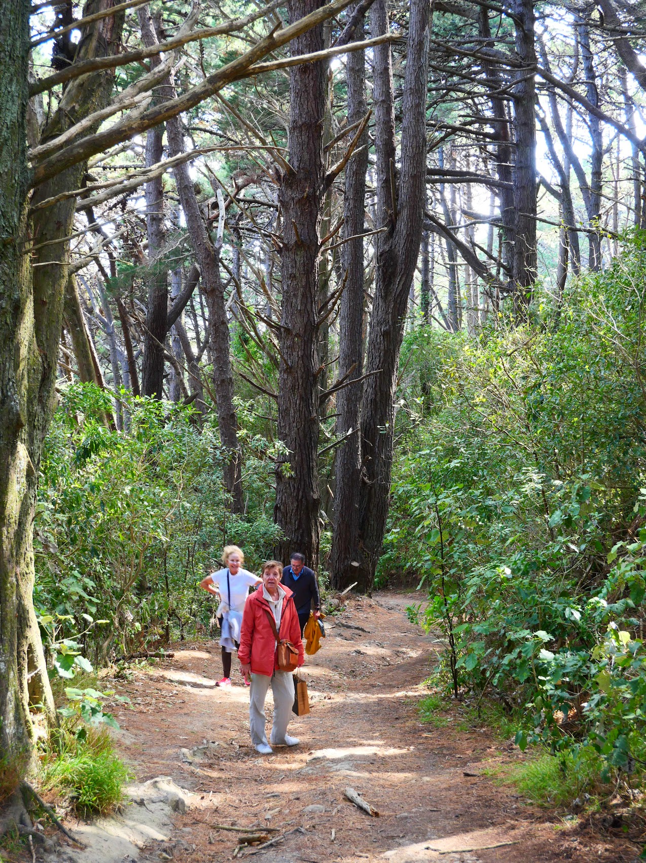
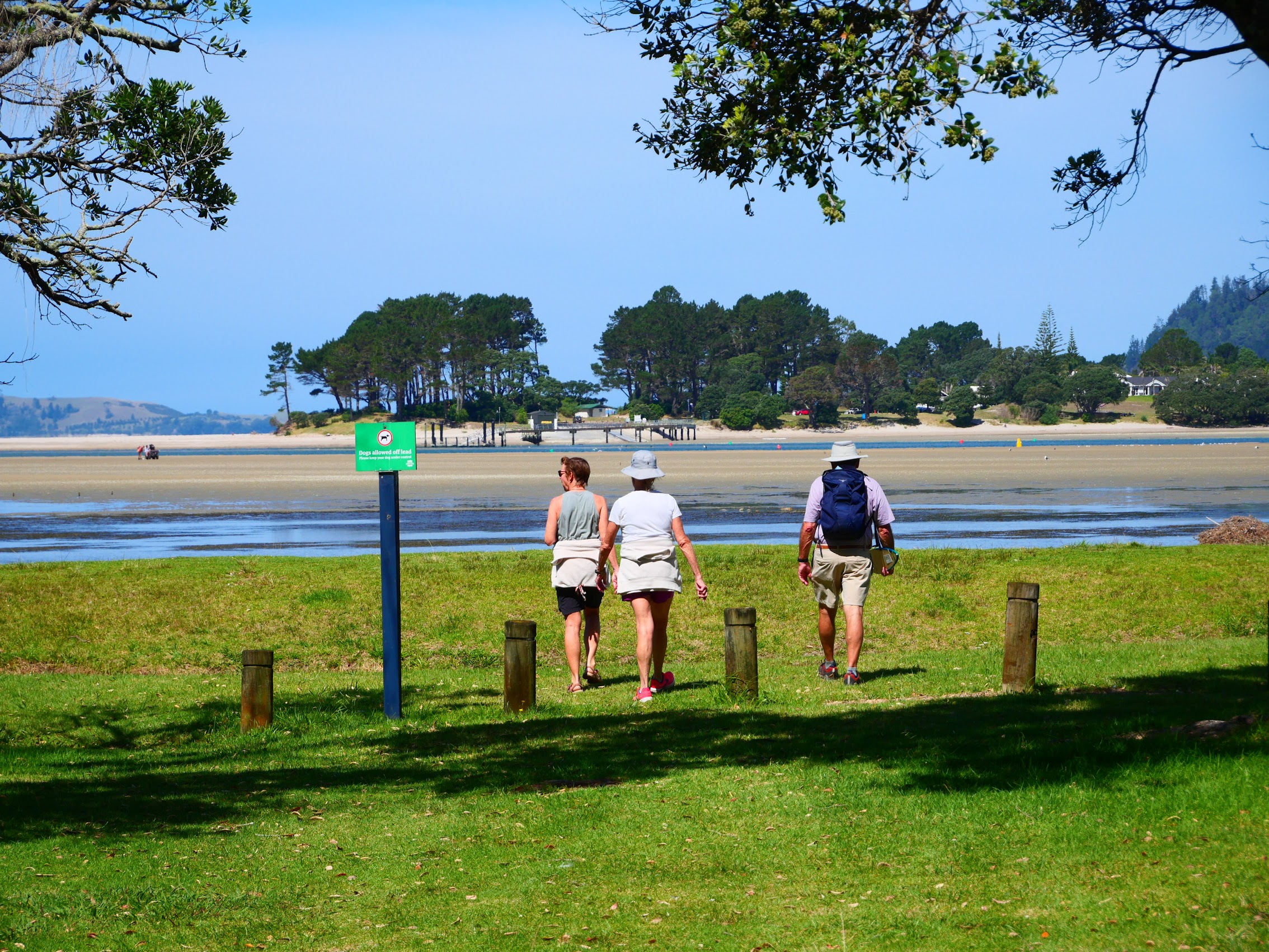
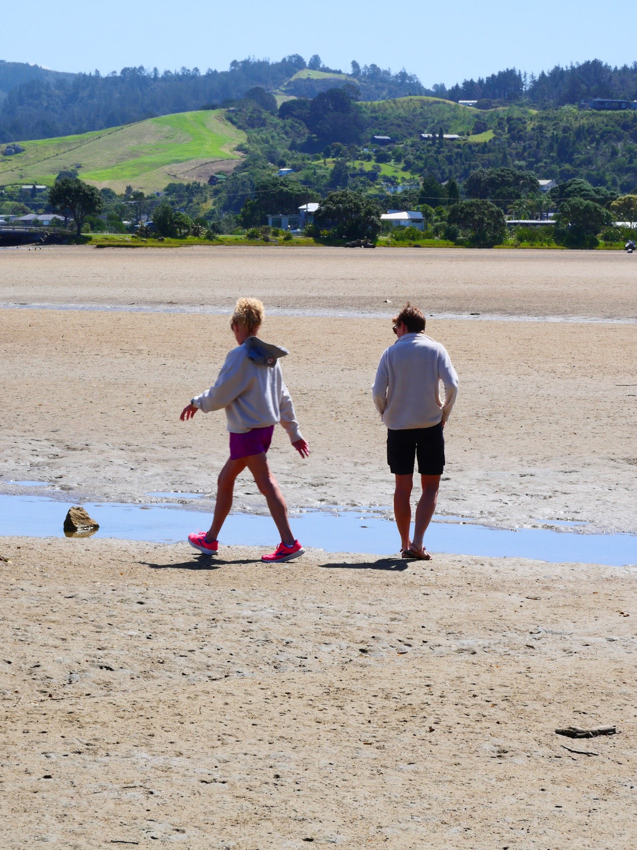
We were up early the next morning for beautiful sunrise over the Pacific Ocean with Mount Paku beconing across the bay. After breakfast at home, we headed into town to check things out (Which didn’t take long as the town is only a couple of blocks long.) then walked along the white sand beach around the bay. Near the neck where the peninsula meets Mount Paku we crossed over to the Pacific Ocean side where we found a great beach.
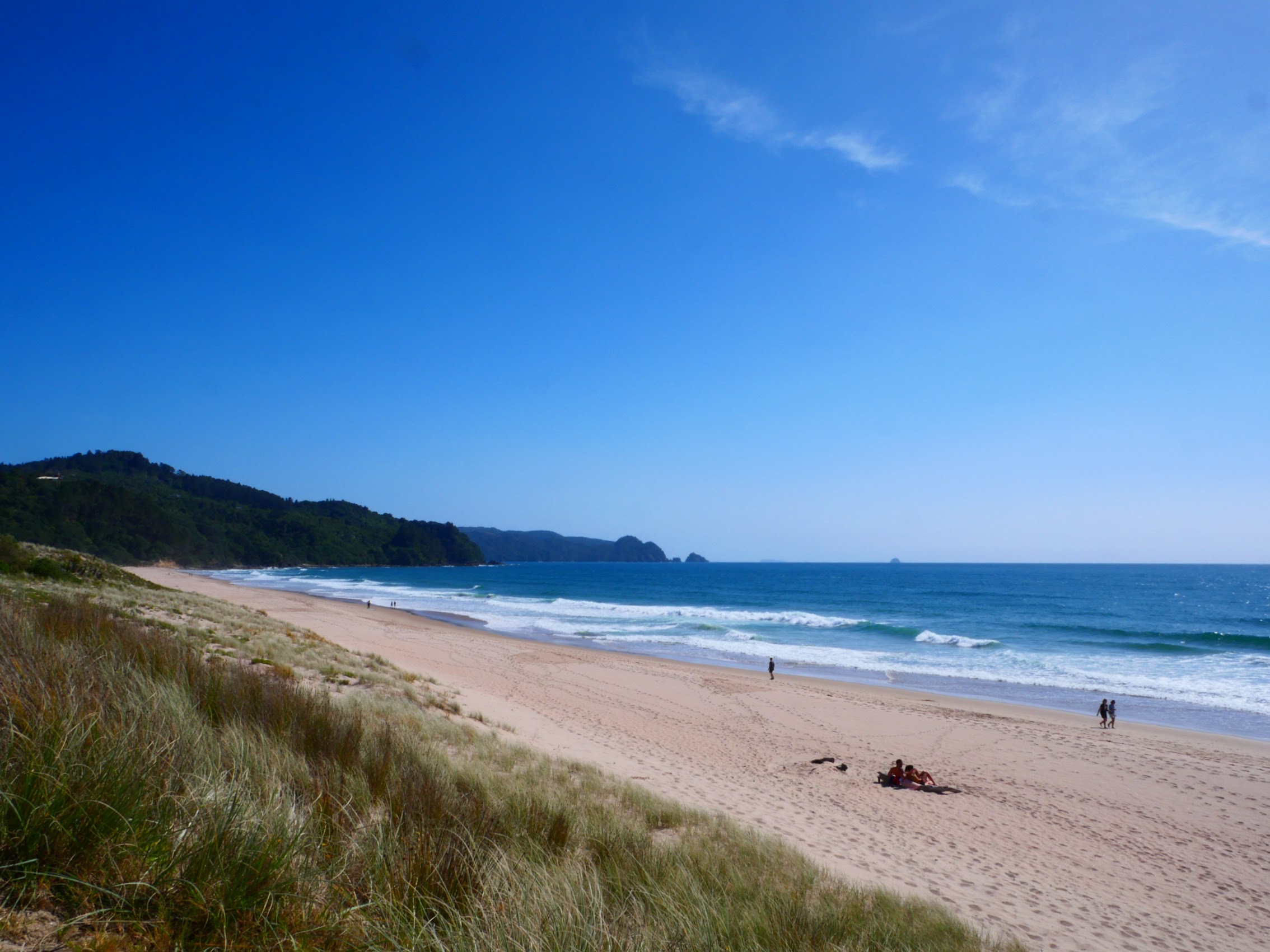
Although we hadn’t really planned on going there, the draw of the viewpoint we believed to exist at the top of Mount Paku was irresistible and we inevitably made our way around the bay and up the roadway which winds its way back and forth across Mount Paku with the views of the bay below getting better and better at each turn. The roadway ended at a step path which became a trail and eventually a scramble up a rocky slope which leads to the summit. The views of the surrounding area from the summit of Mount Paku were spectacular and we lingered there for a bit before making our way back down.

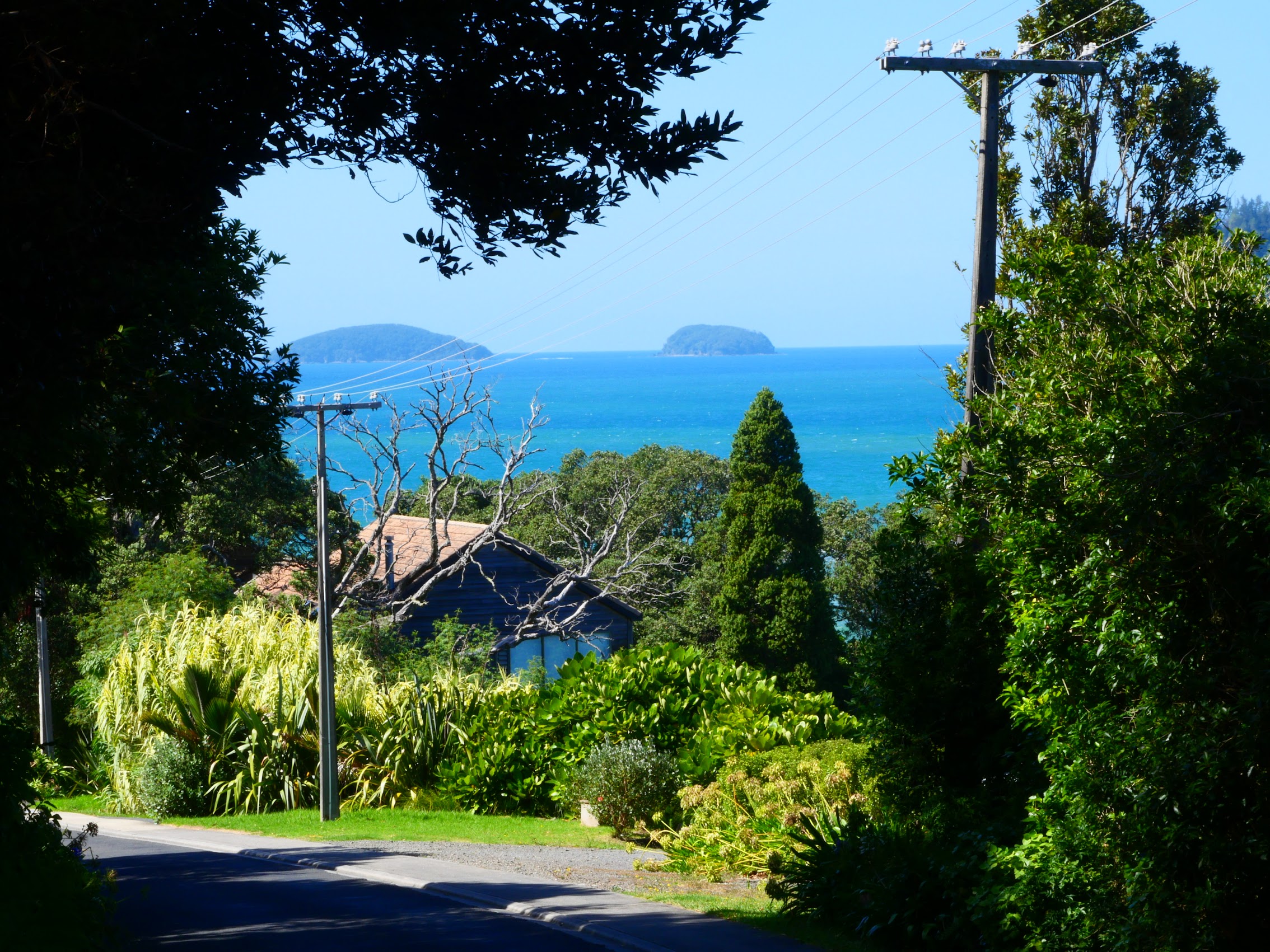


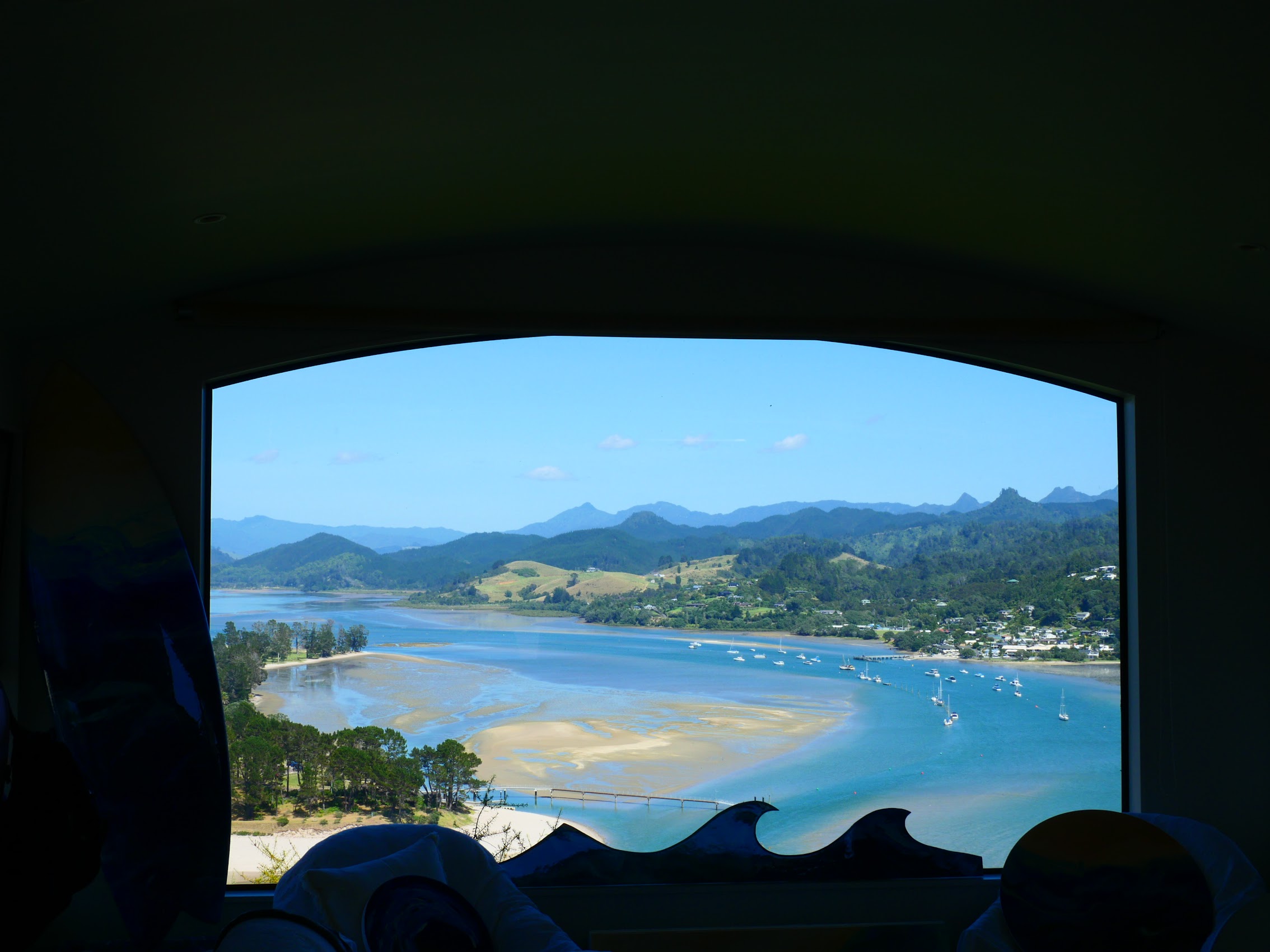
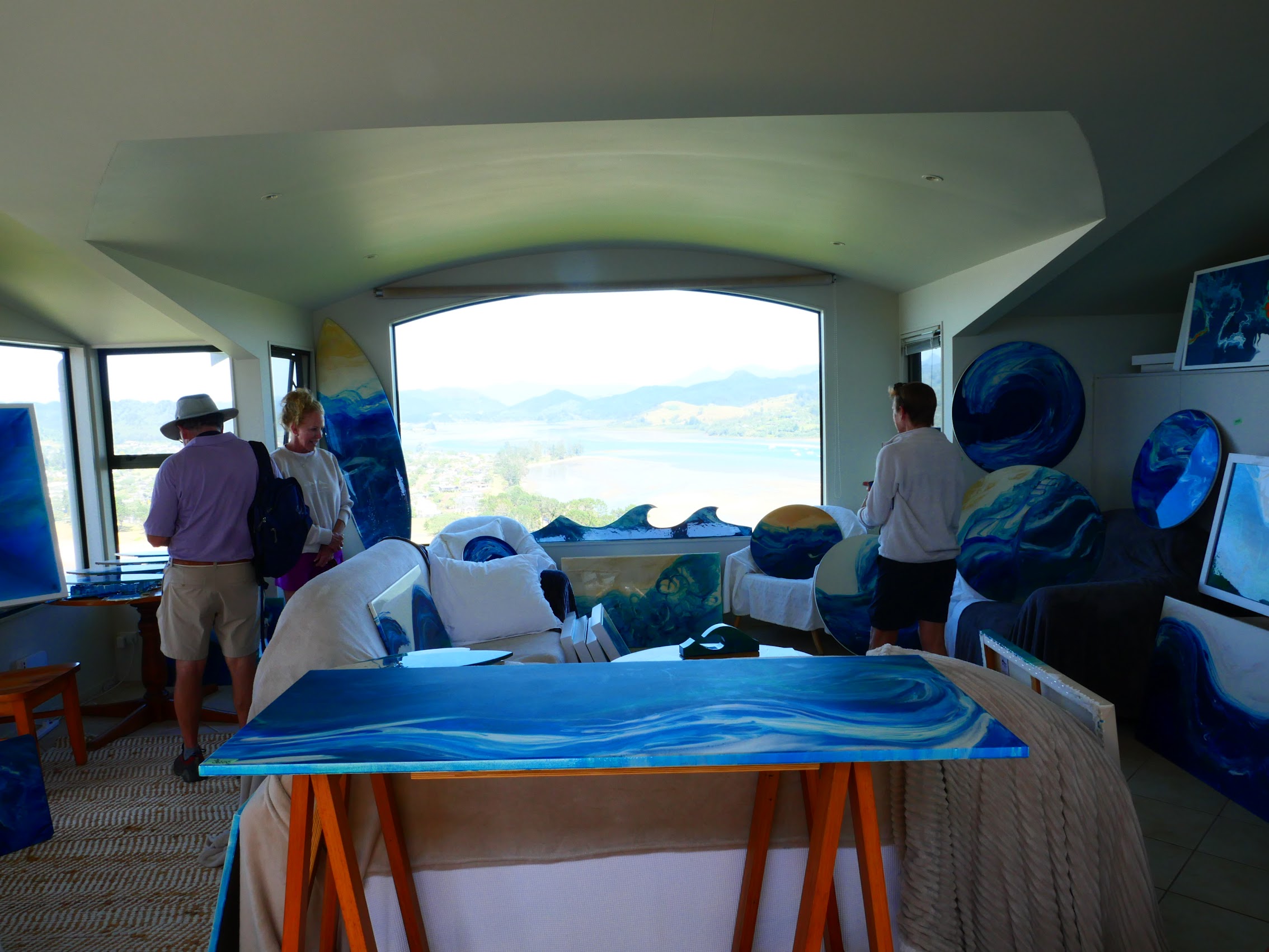
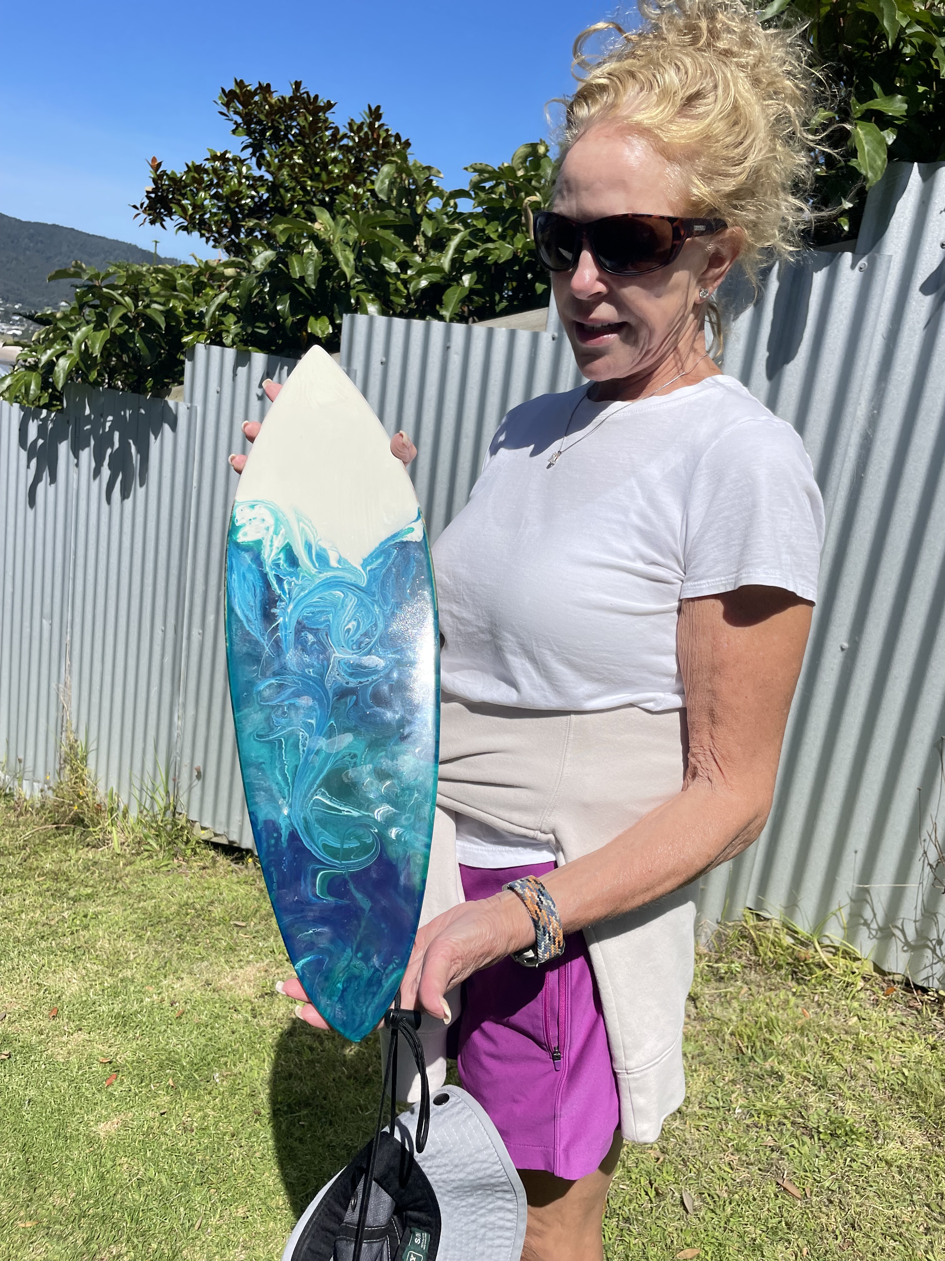
Back at the roadway, we stopped at an artist’s studio we had passed on the way up (mostly to check out the view). The studio, called Swell, is owned and operated by Christina McGrath, an American from Southern California who settled in Tairua (at least for now) after travelling the world a bit. Christina’s paintings and other art work are inspired by the ocean and (no doubt) the amazing view of Tairua Bay from her studio. After admiring some larger pieces, the Maddens purchased a beautiful mini-surfboard painting which seemed small enough to fit in their luggage.
We made our way back down and stopped at a place we had spotted at the bottom of Mount Paku, a place called the Old Mill Waterfront Café, where we had some drinks and lunch. From the viewpoint, we had noticed that what looked to be sand bars were appearing in the bay as the tide went out, and by the time we made our way back there, almost the entire bay was sand. Because of this, we were able to walk back across the bay rather than around it, thought we did have to cross a couple of streams.
Feeling like we had pretty thoroughly investigated Tairua, we decided to take a little road trip in the afternoon to investigate an Artists Festival which was going on over the weekend. We had learned about it at Christina’s Swell Studio and Colleen had noted that there were several participating studios in the town of Whitianga about 40 kilometers up the Peninsula, including a mosaic studio in which she was particularly interested.
The Arts Festival was less of a festival and more of a coordinated series of open houses at various art studios in the area. We visited the mosaic studio which had a lot of unique and interesting pieces which we spent a bit of time surveying. Colleen’s interest were more in just seeing the work for inspiration for her own mosaics, but the Maddens found a piece they really liked and made another purchase.
We took a drive around Whitianga and enjoyed the views of Whitianga Harbor on the land side and Mercury Bay on the ocean side. All and all, it was a pretty uneventful afternoon compared to what we had been experiencing of late, but is was nice to get out and see a bit more of the Coromandel Peninsula which was quite beautiful.

We headed home for a delicious steak dinner (our last home-cooked meal together) and lots of good wine. We had an enjoyable evening, but I think all of us were beginning to feel a bit sad as we realized that we only had one more day together on this adventure which had started 23 days earlier in Queensland, Australia.
Auckland (Monday March 11th to Tuesday March 12th)
No tour of New Zealand would, of course, be complete without a visit to Auckland, New Zealand’s largest city. As I mentioned in an earlier blog, Auckland, with its large international airport, made the most sense as a finishing point as we and the Maddens would be heading to different destinations from there (we to Vietnam and they back home to Michigan). And so, our last stop in New Zealand (and our last stay with the Maddens) was in Auckland.
The trip there was short (only about two hours) and fairly uneventful with some last looks at the beautiful scenery as we crossed back over the Coromandel Peninsula and through the farmlands south of Auckland. As we neared the city, the roads became highways, and we were reintroduced to traffic.
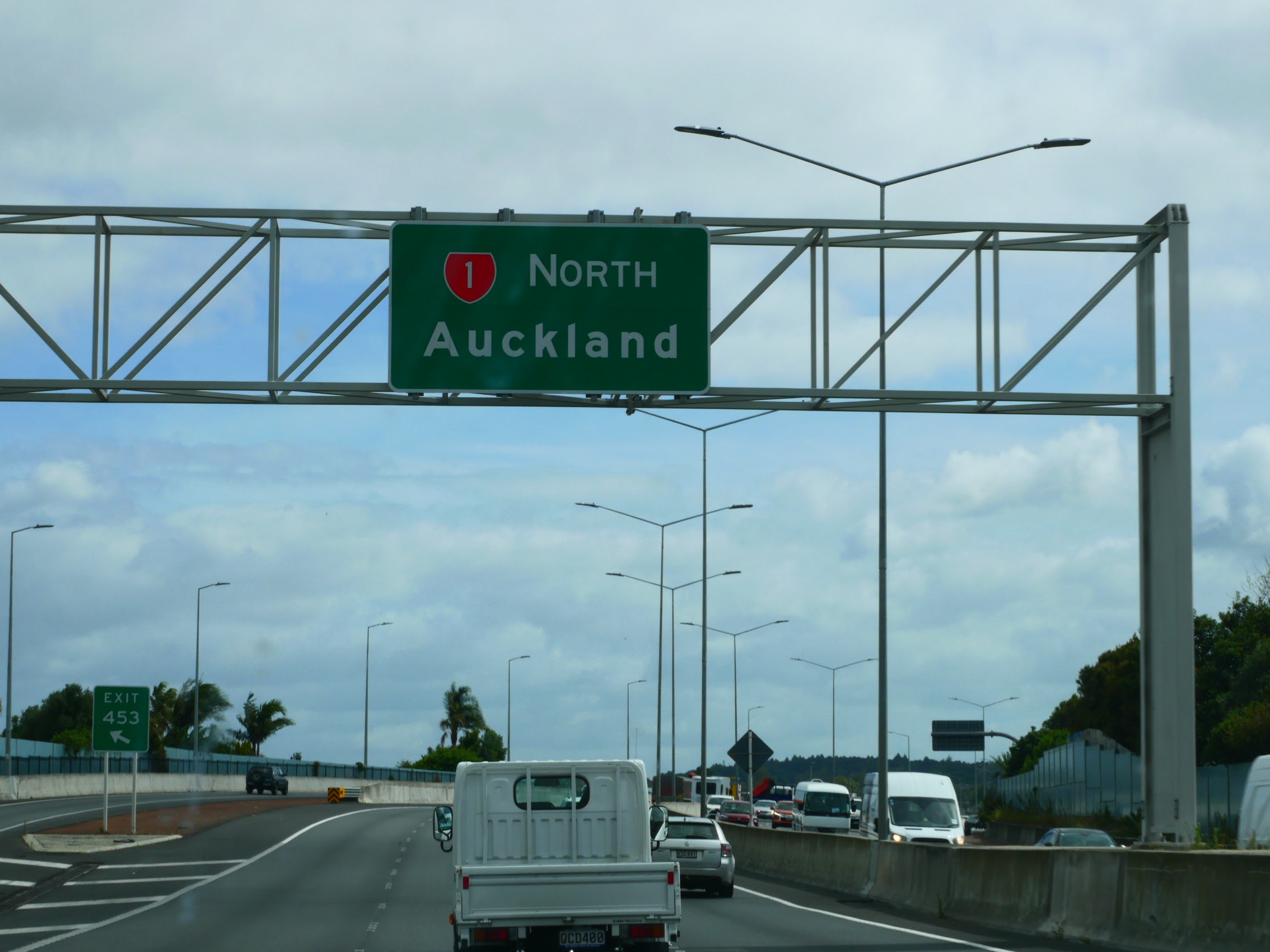
With a population of about 1.7 million people, Auckland is by far the biggest city in New Zealand (Wellington, the capital where we had overnighted is only 220,000 people). Compared to the small towns we had been staying in, it was a bit of a shock to find ourselves back in a big city and I couldn’t help but wonder whether we would find the same quirky friendliness we had experienced in the small towns of New Zealand.
A Penthouse Apartment (Our Stay in Auckland)
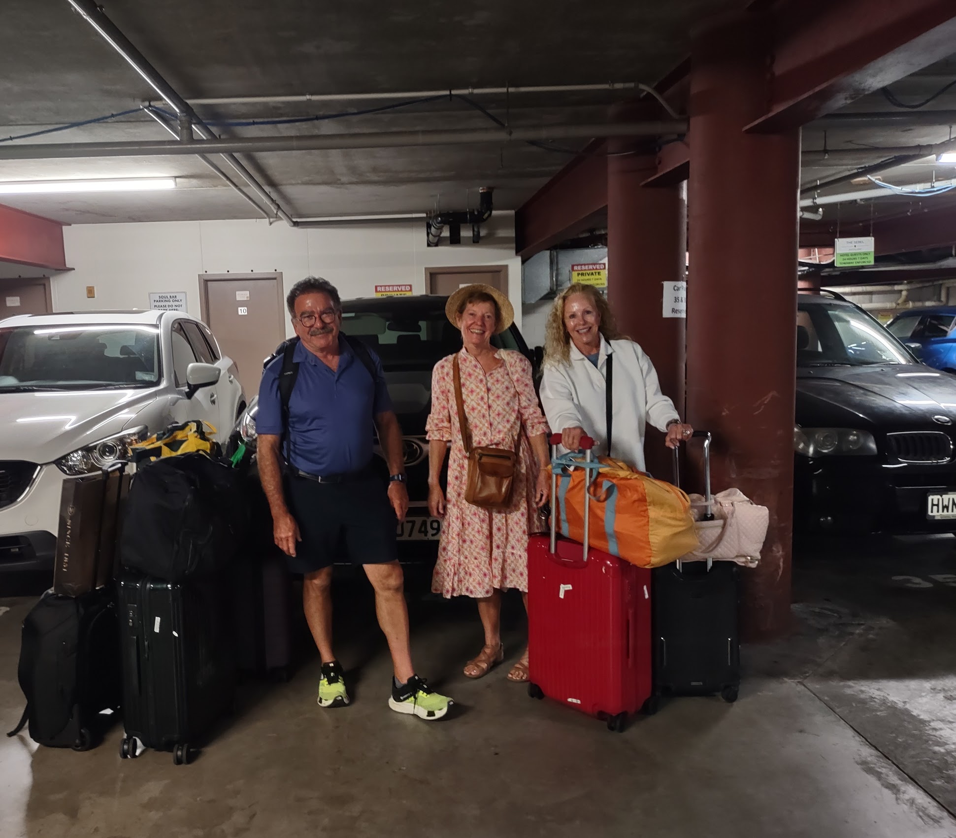
We arrived in Auckland around Noon and made our way through heavy downtown traffic to our Airbnb, located between Queens Wharf and North Wharf in the heart to the city. We followed directions to the building’s underground parking garage where we unloaded the car one last time (surprised out how much baggage we had accumulated) before lugging it all up to our last stay in New Zealand. We had booked a two-bedroom “penthouse” apartment which promised to offer amazing views of the harbor and waterfront. As we had entered the building through the parking entrance on the land side of the building, we had no idea how great the views actually were until we stepped into the apartment.
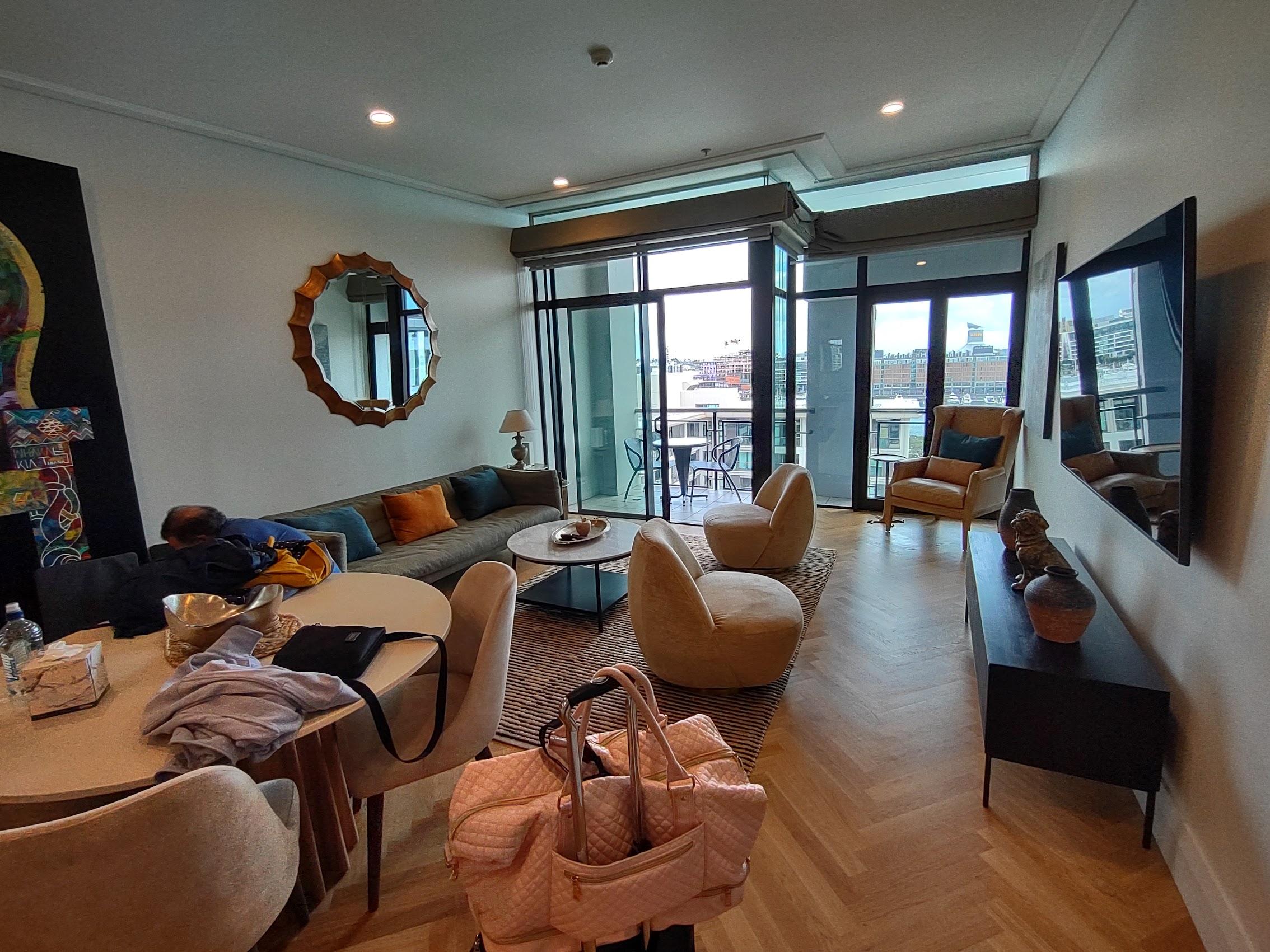
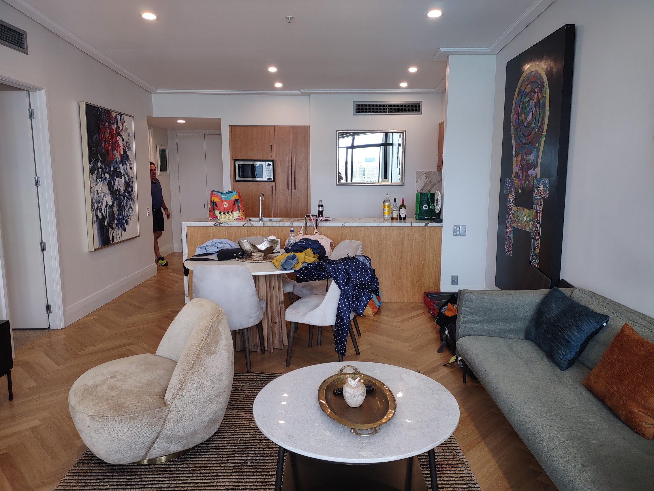
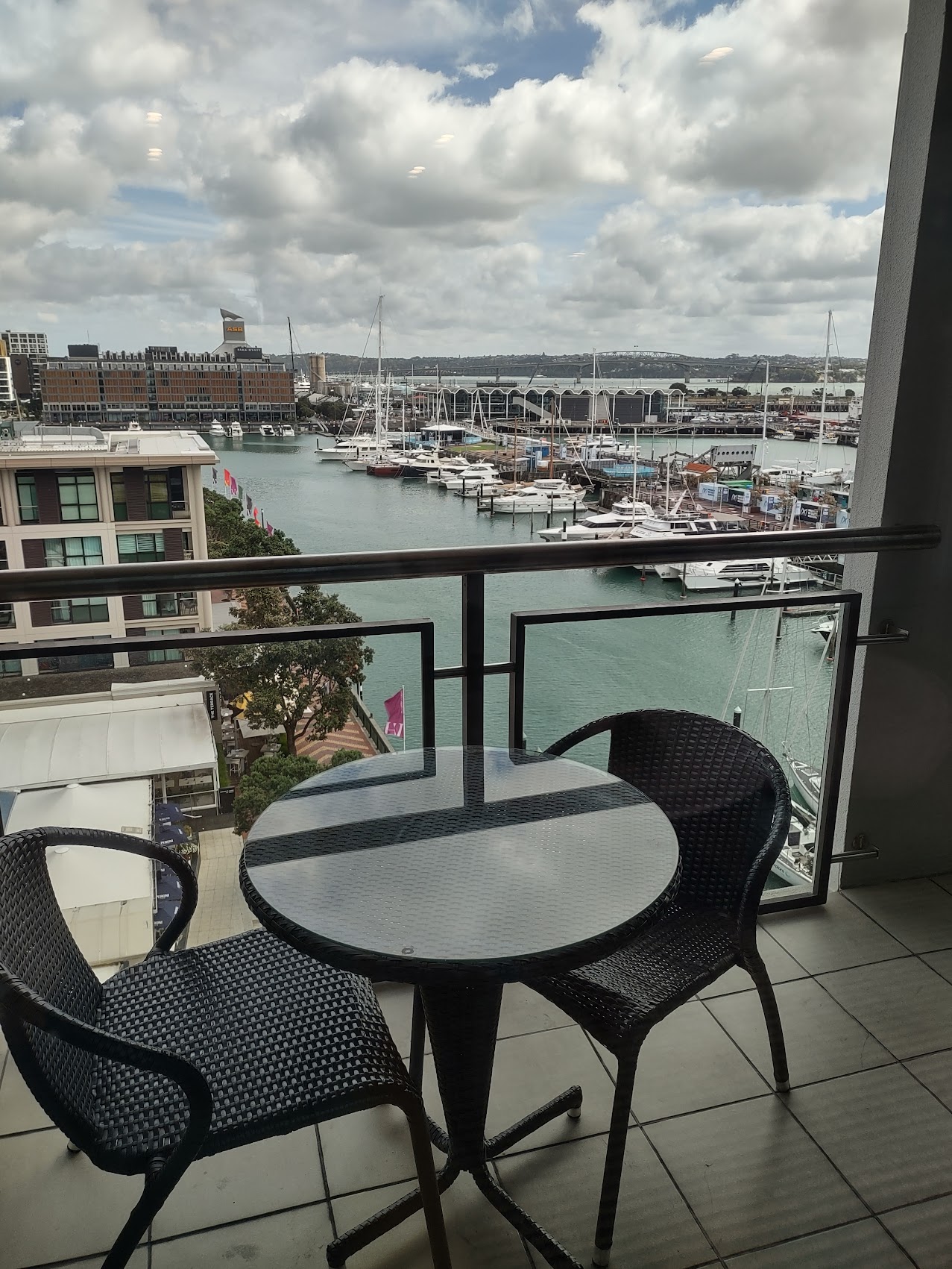
Due to some confusion over our respective itineraries, the Madden’s travel agent had booked a room for them at the nearby Park Hyatt Auckland, but we decided to all stay in the Penthouse as it meant having a common living space to hang out together on our last evening (also a bit less expensive than two rooms at the Park Hyatt). Ironically, the wonderful view of the waterfront from our penthouse included the Park Hyatt which was located directly across the harbor from us.

After spending a few minutes taking in the views of the harbor, we were quickly back out as we only had one last day together to explore Auckland. Given our limited time, we had no special “excursions” planned and were pretty happy to just be able to explore the downtown area and waterfront around our stay.
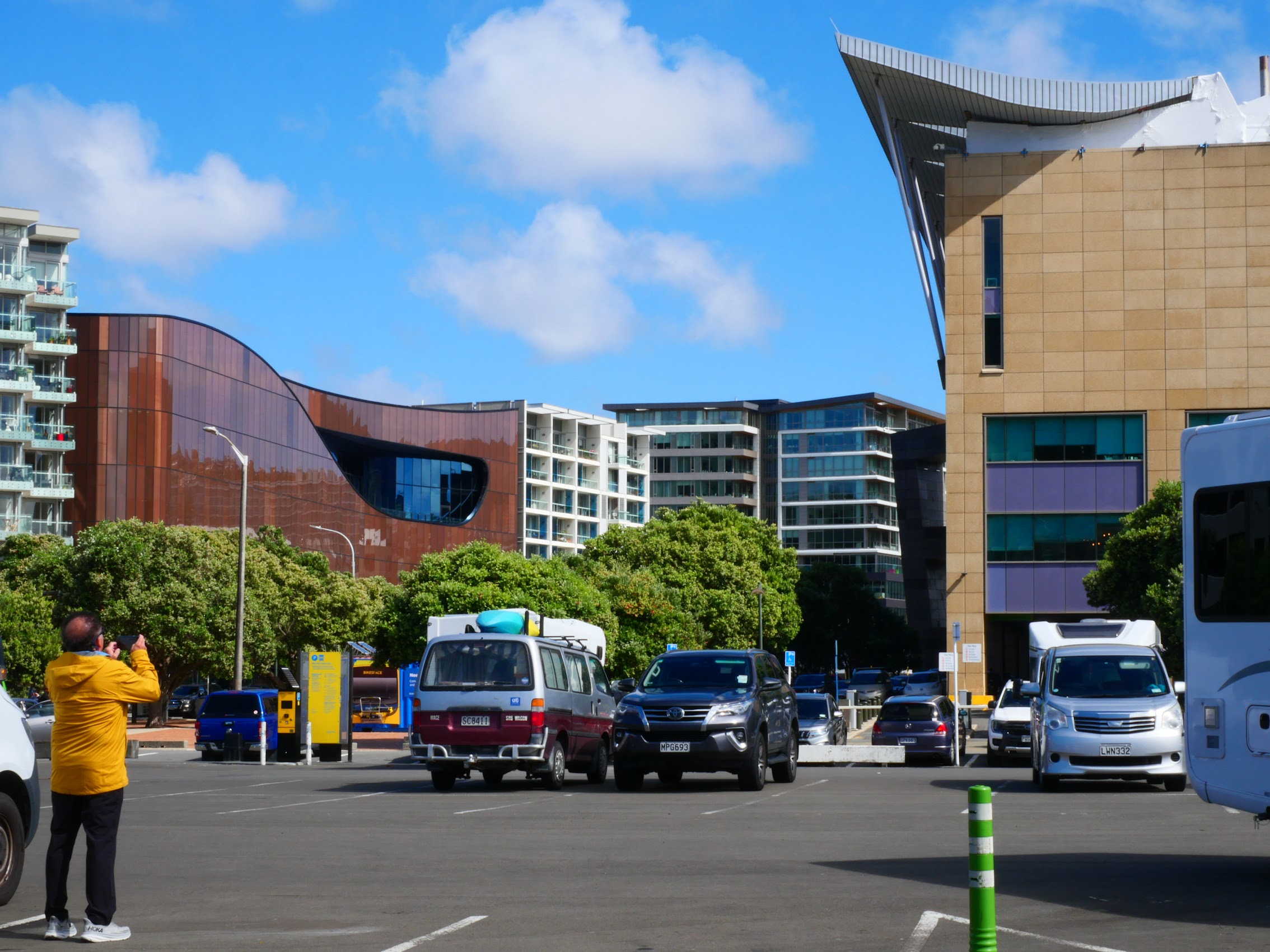
Downtown Auckland and The Waterfront
Once on the street, our first order of business was to find a local post office which Colleen had located on Google Maps as she had a backlog of postcards to mail. From our stay we headed east on Customs Street and got a good look at Auckland’s central business district as we passed Queen Street, the major commercial throughfare in the city. Interestingly, along the way we passed Aukland’s original post office building, the Auckland Chief Post Office, an Edwardian Neo-Baroque style building constructed in 1912 and converted to a train station in 2004, which now serves as the central transport hub in Auckland.

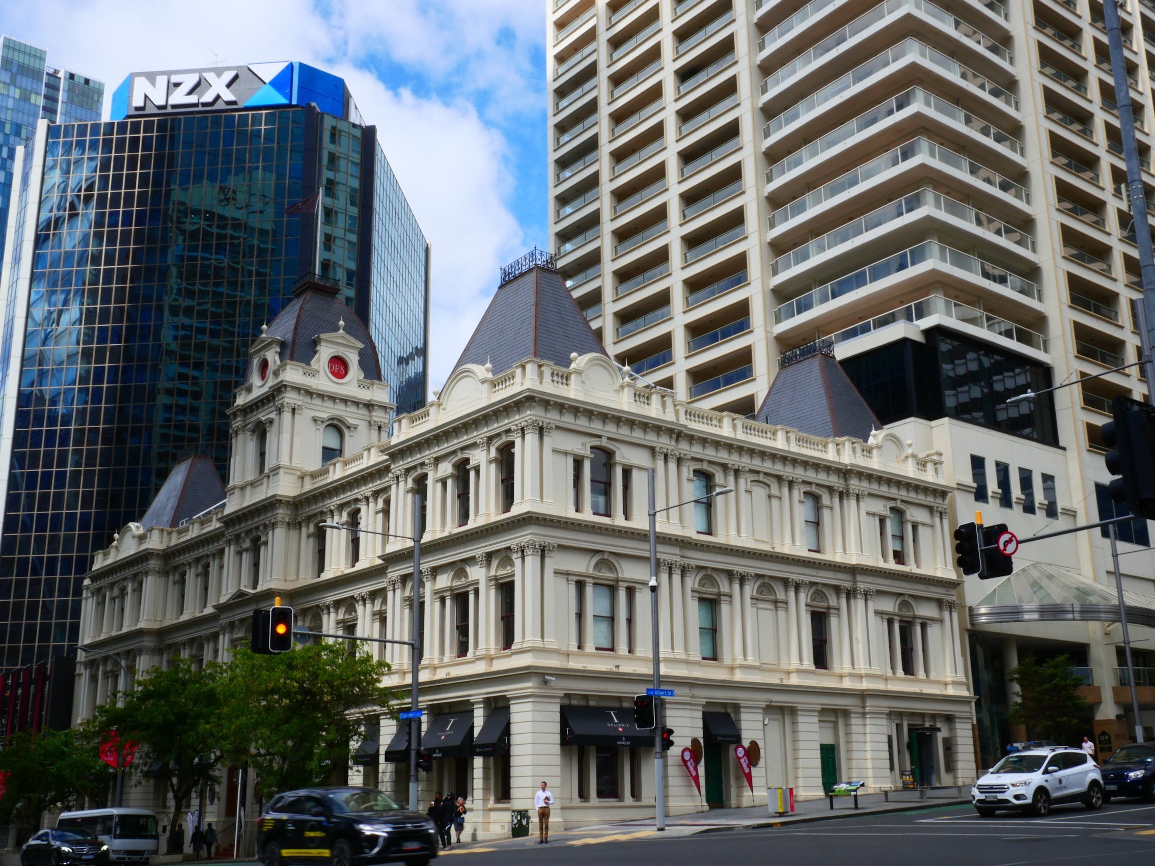

After a quick stop at the post office, we turned north and then proceeded west on Quay Street which runs along the waterfront. While there are many new high-rise buildings in this part of the city, there are also quite a few beautiful old ones (like the Chief Post Office building), but probably the most interesting, beautiful, and iconic is the Old Ferry Terminal building where we stopped for drinks with a view.
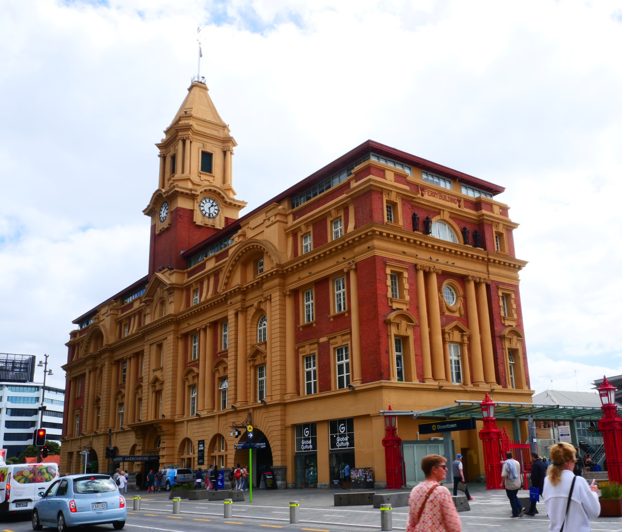
The Old Ferry Terminal building, which was constructed about the same time as the Chief Post Office, is another Edwardian Neo-Baroque structure constructed of bright yellow sandstone and brick with a base of Coromandel granite. For decades, the Ferry building was the major departure point for people travelling to the North Shore of Auckland until 1959, when the Auckland Harbour Bridge was opened.
In 1982 a new ferry building was built next to it and a report released that year said that extensive renovations were needed to bring the Edwardian building up to earthquake and fire code standards. It was extensively restored and reopened in 1988. It now contains shops and cafes on the lower levels, including the Harbourside Restaurant where Denny and Wendy now took us. (They had been there for dinner during their layover in Auckland on the way to meet us in the Whitsundays.)


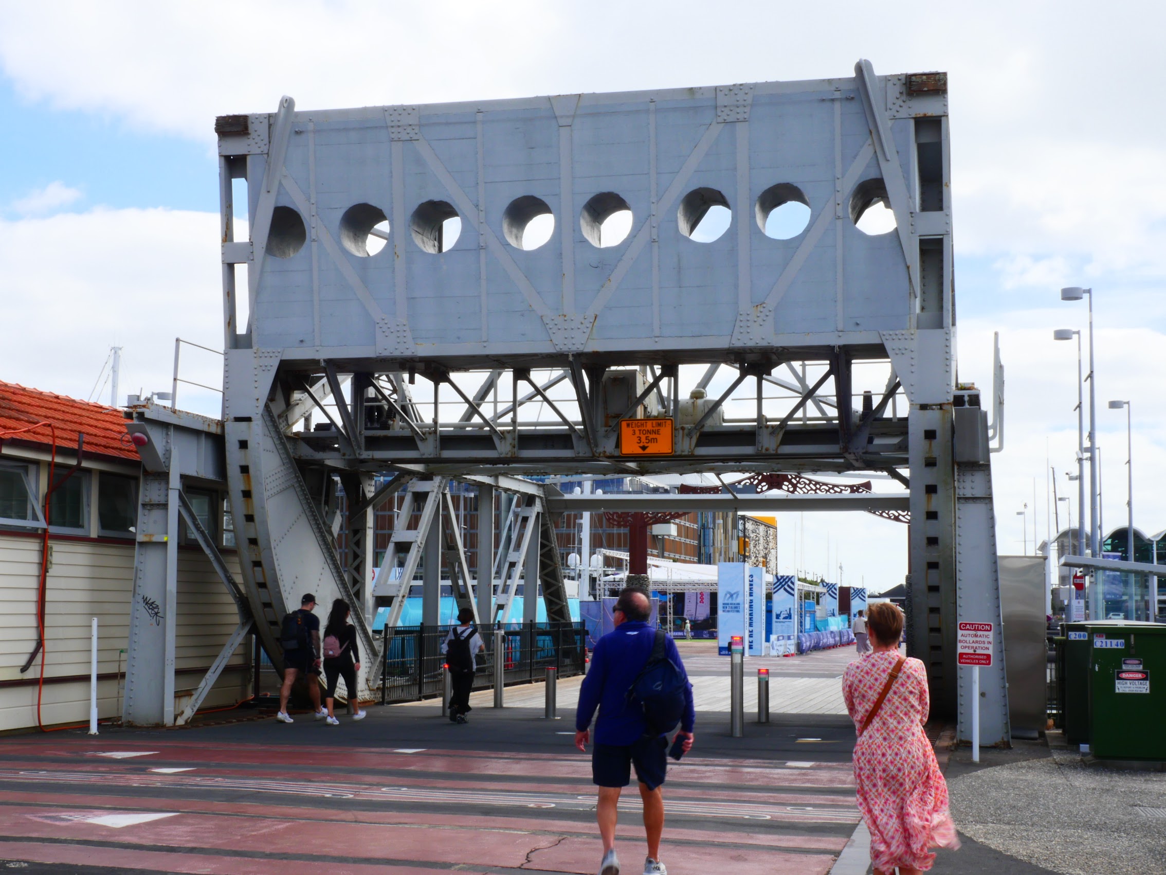
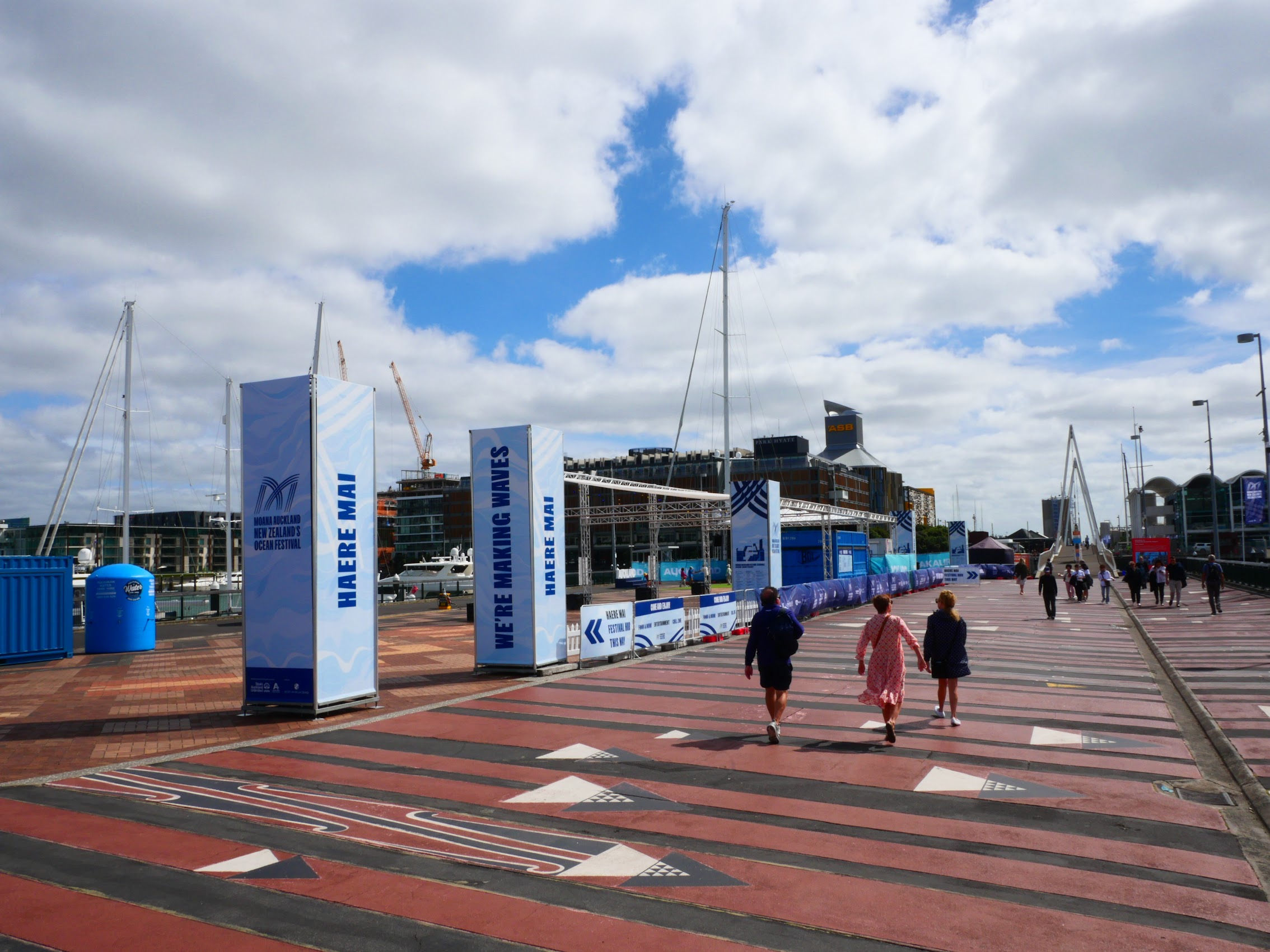
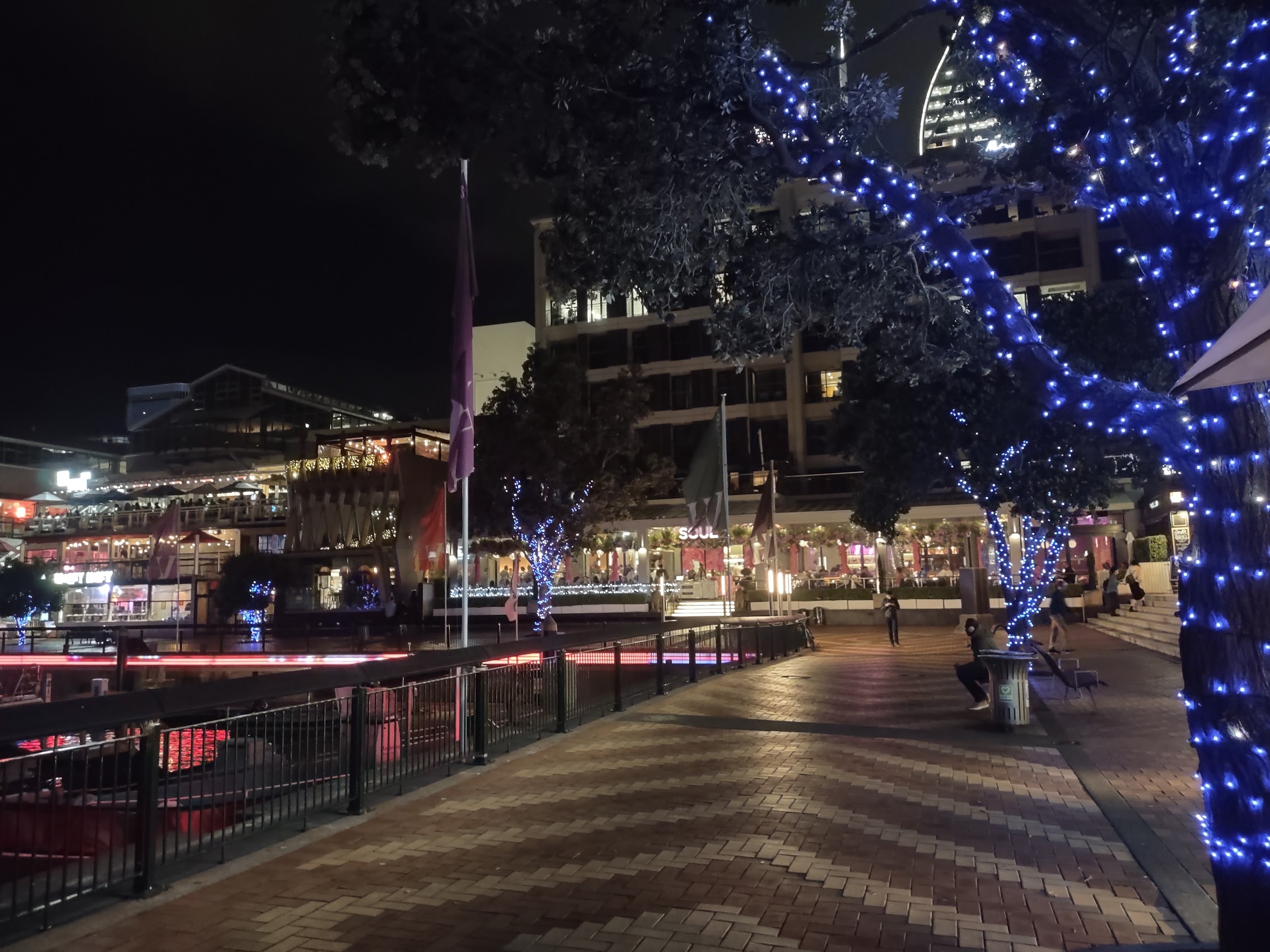
After some delicious and refreshing cocktails at Harbourside, we proceeded to explore the waterfront which proved to be endlessly entertaining. Near the entrance to the harbor was a display featuring the revolutionary “black magic” hull design that helped New Zealand win the America’s Cup in 1995. There were various marinas full of a variety of boats, many of them extraordinarily large and (presumably) extraordinarily expensive. There were also a few drawbridges which occasionally went up to the larger boats to enter the marina. Actually very entertaining to watch.

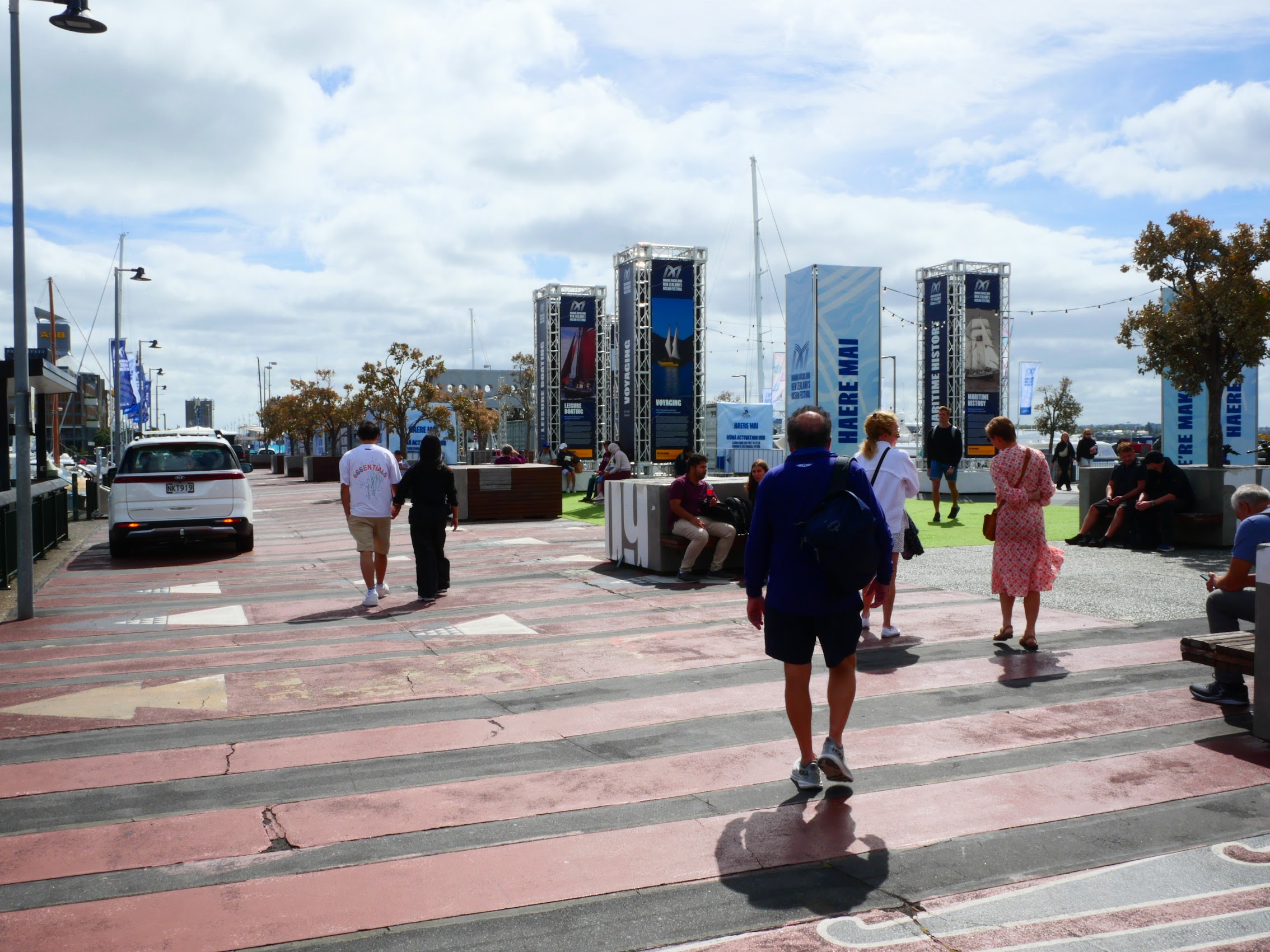
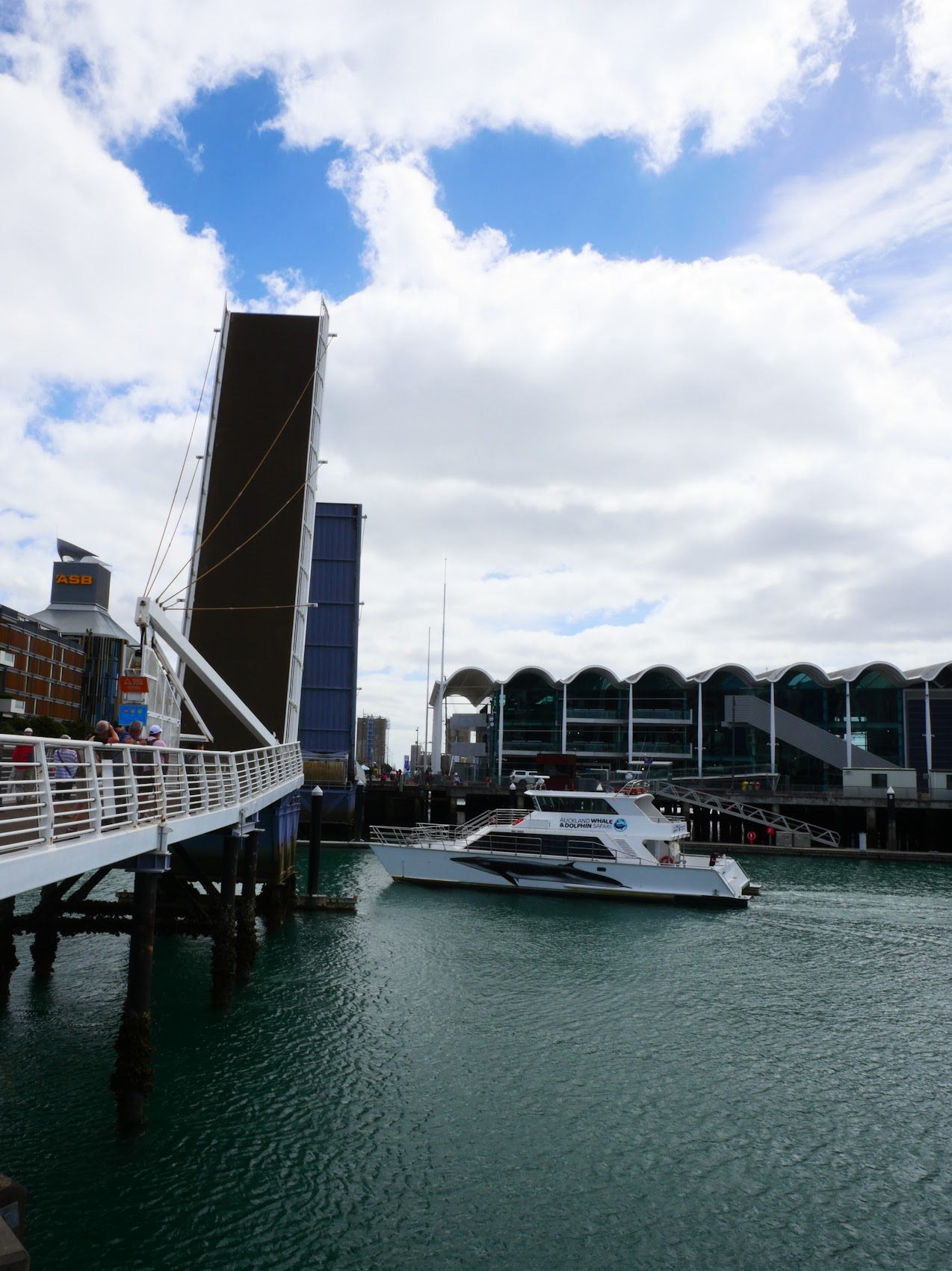
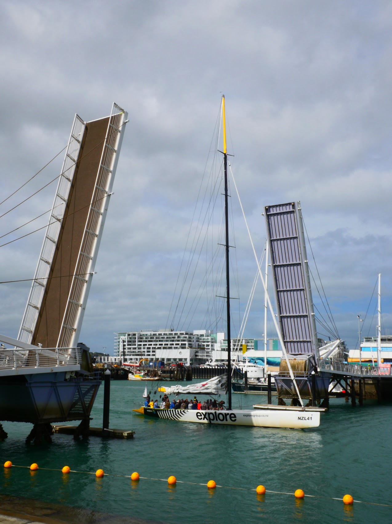
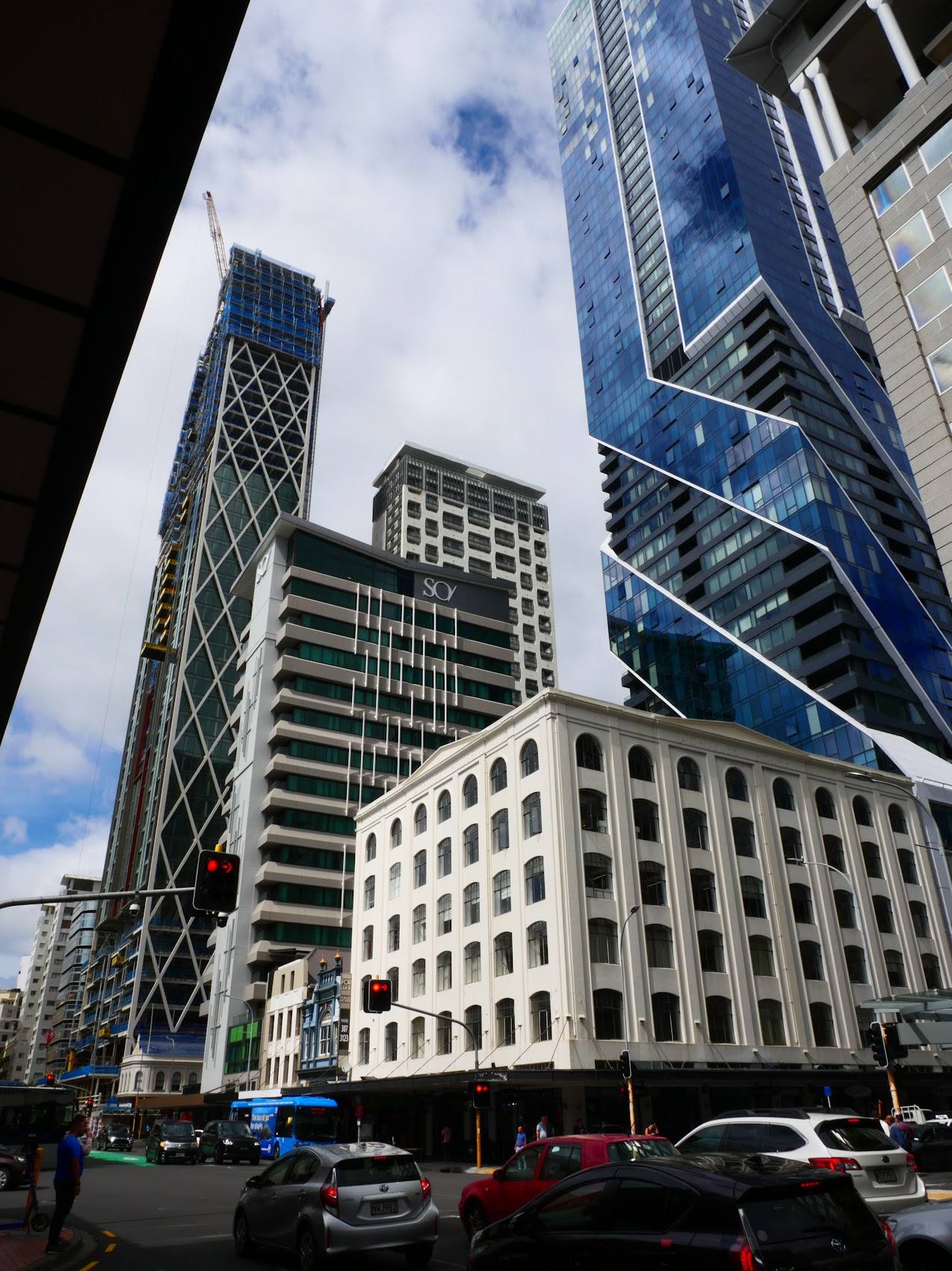
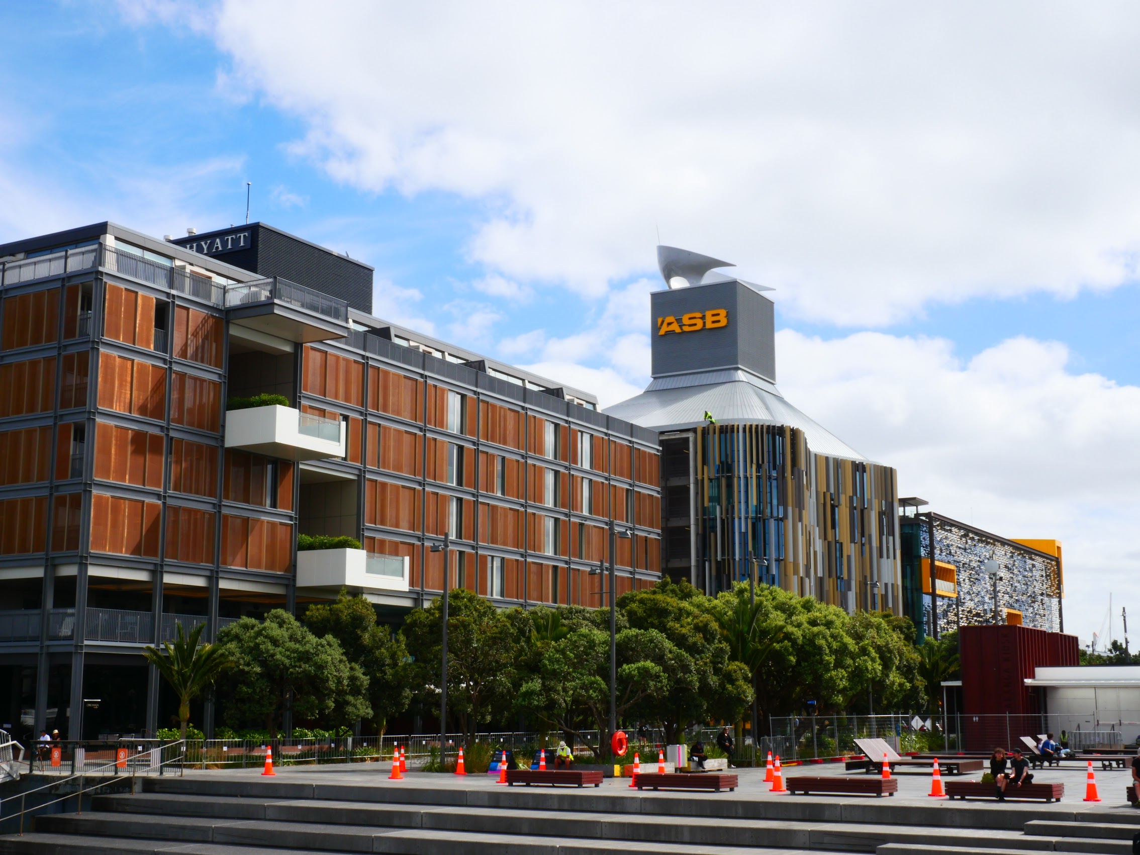
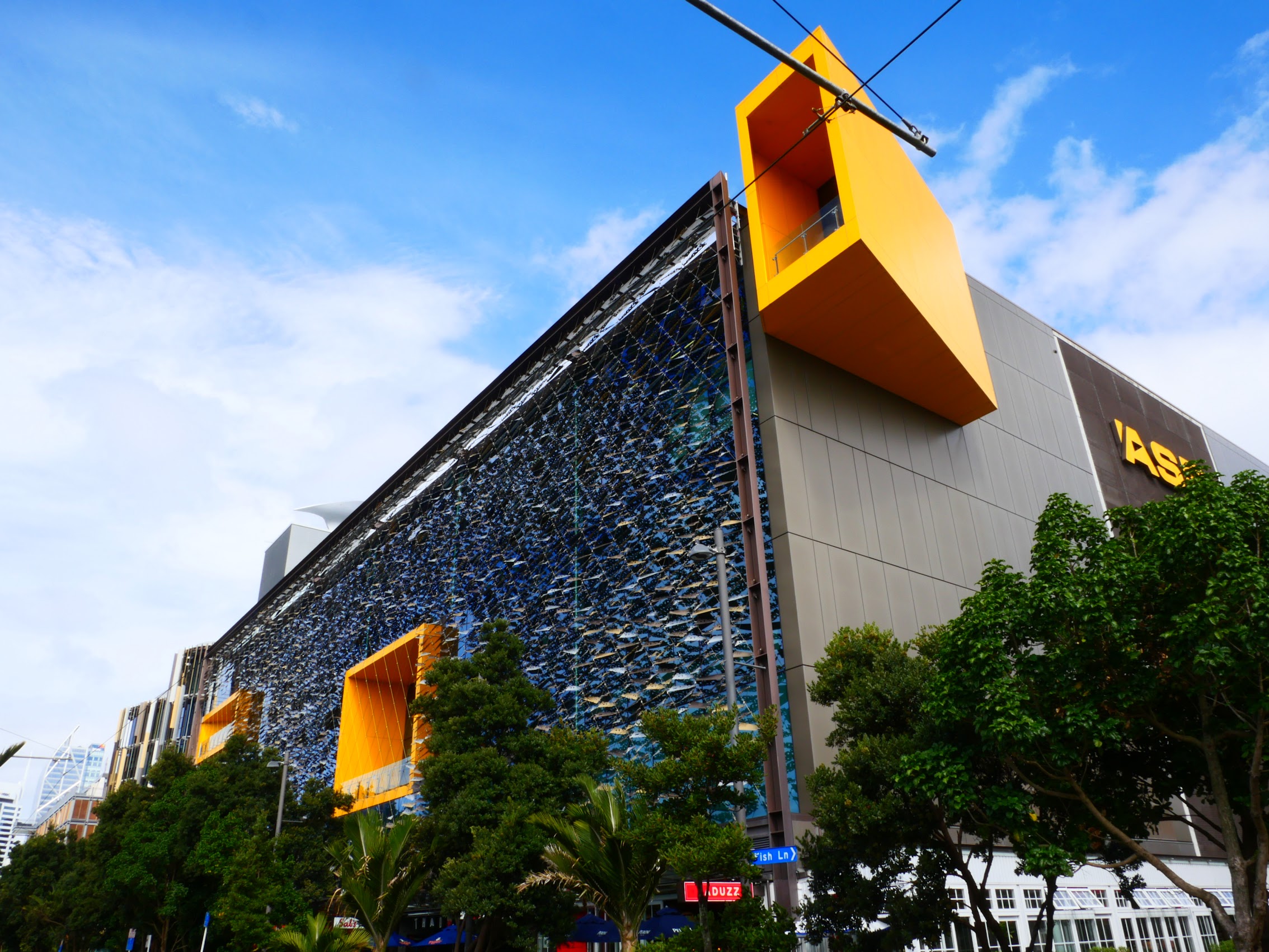
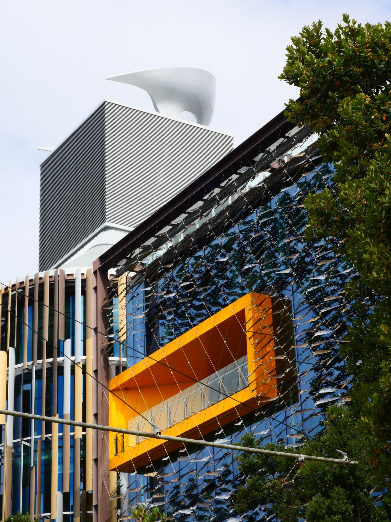
In addition to lots of boats, there were many other attractions like the New Zealand Maritime Museum (which we did not visit), along with parks, shops, and restaurants, as well as a number hotels, apartment buildings, and some very interesting harbor-side office buildings. (My particular favorite was the ASB Bank Building an award-winning sustainable design which features a large expanses of glass shaded by a system of mesh and multi-colored shading devices which look amazingly natural and organic.)
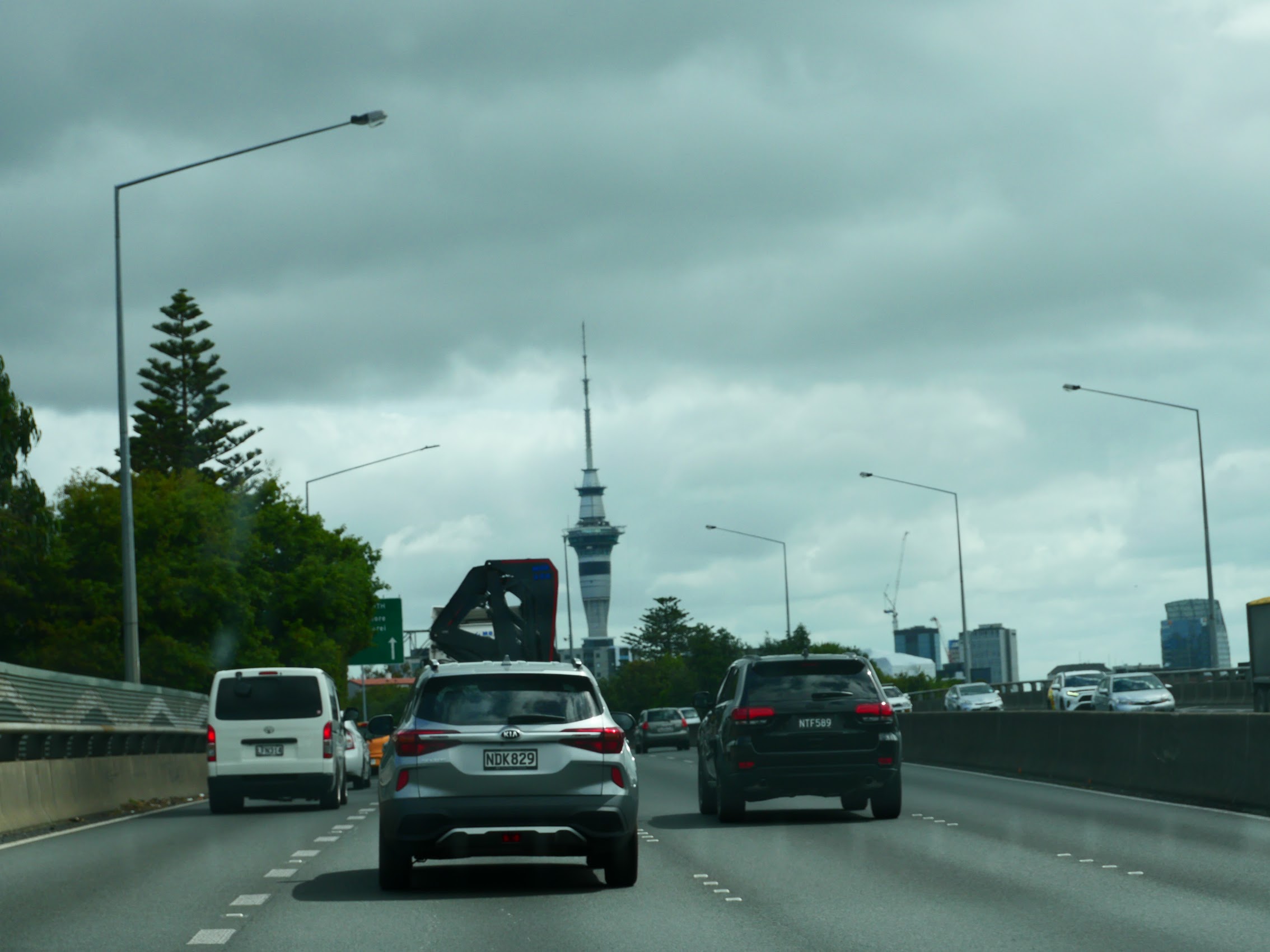
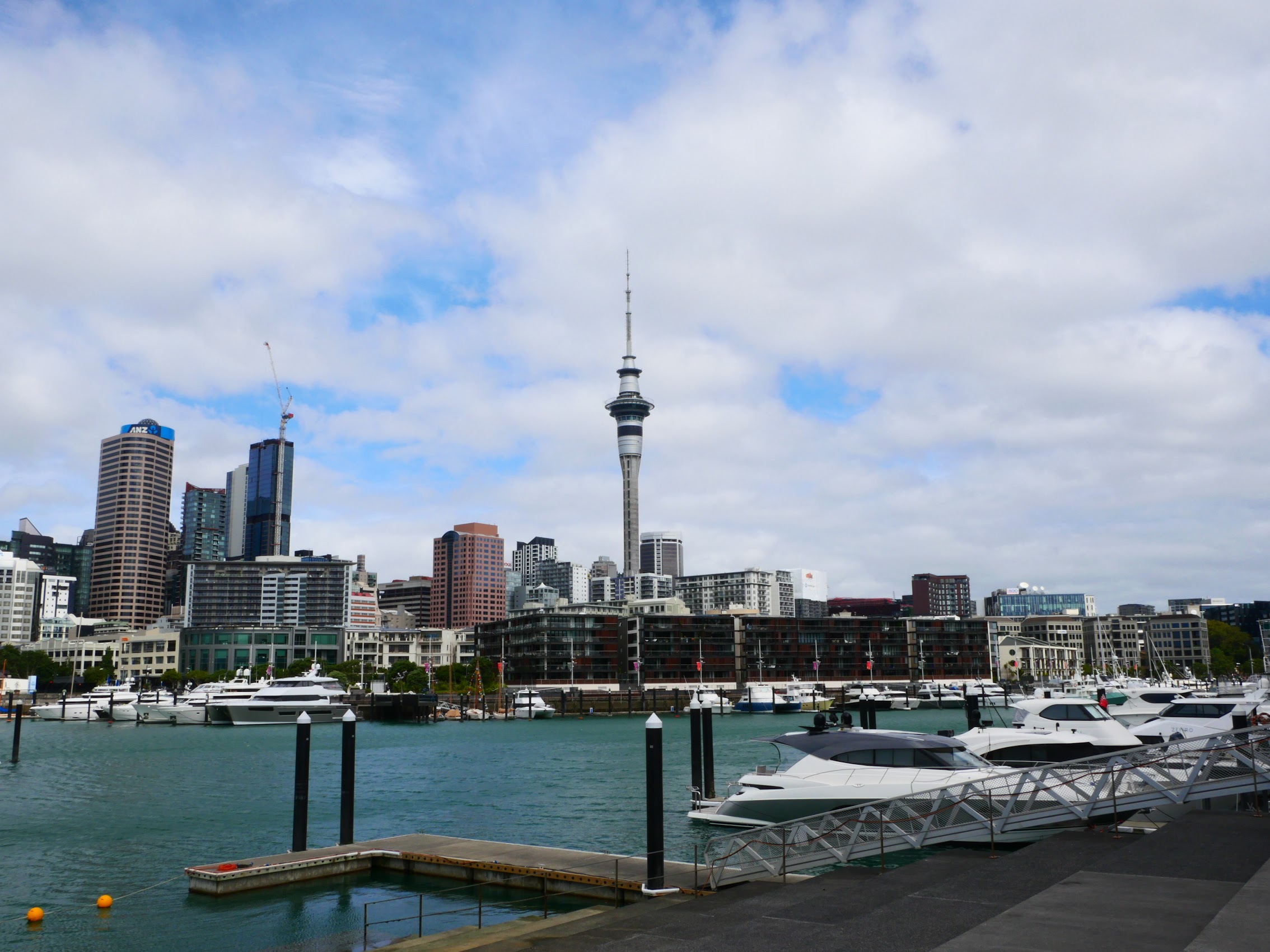
From the harbor, there was a nice view of the city of Auckland skyline with its iconic Sky Tower which always reminds me of the Seattle Space Needle. (Though at almost 1100 feet , Auckland’s Sky Tower would loom over Seattle’s which is only 605 feet tall.) After a couple of hours of wandering the harbor, Colleen and I decided to take a break at a place called Dr. Rudi’s Rooftop Brewing Company, in a building next to our own with the same wonderful views of all the activity in the harbor where Denny and Wendy eventually caught up with us.
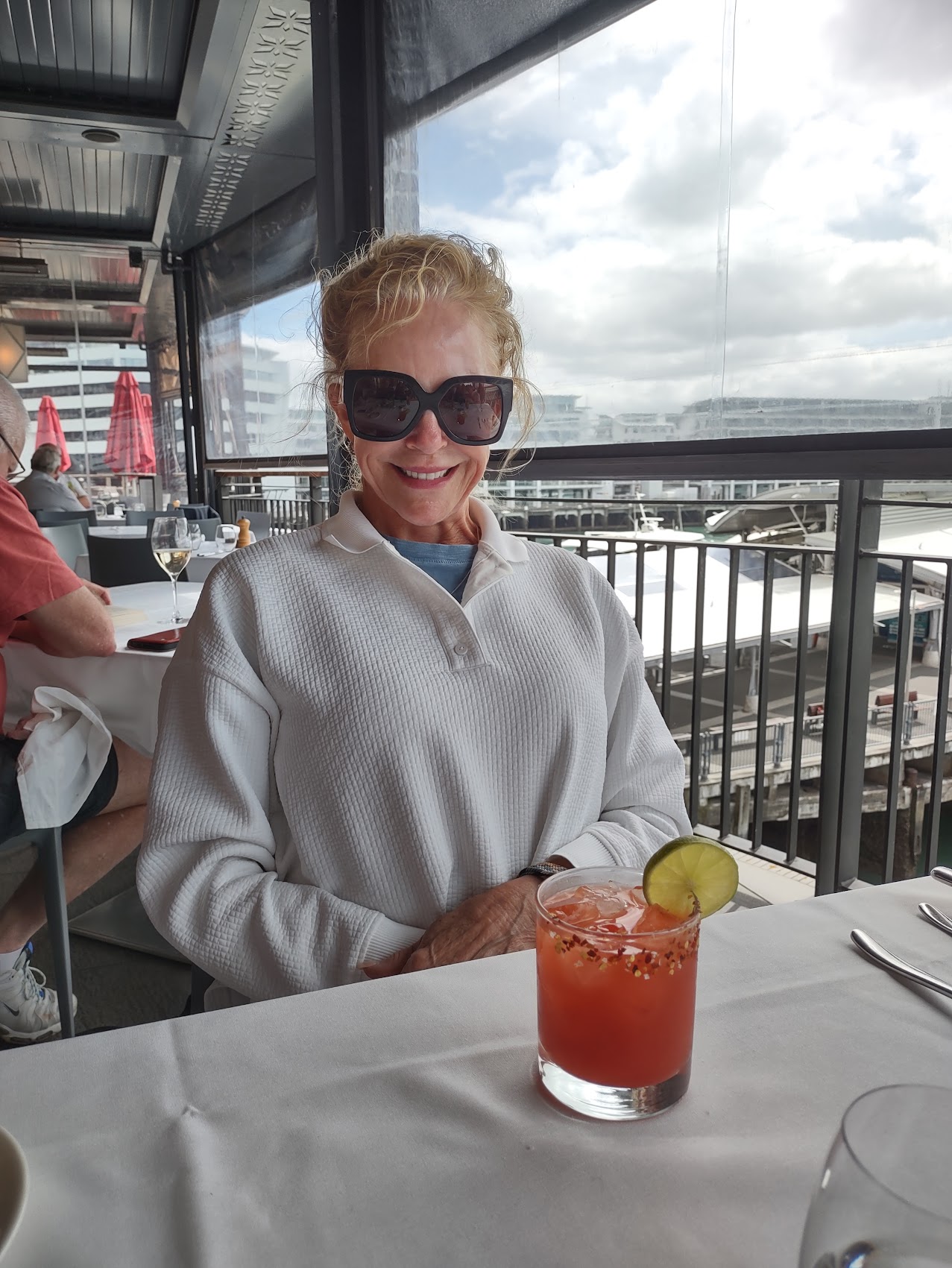
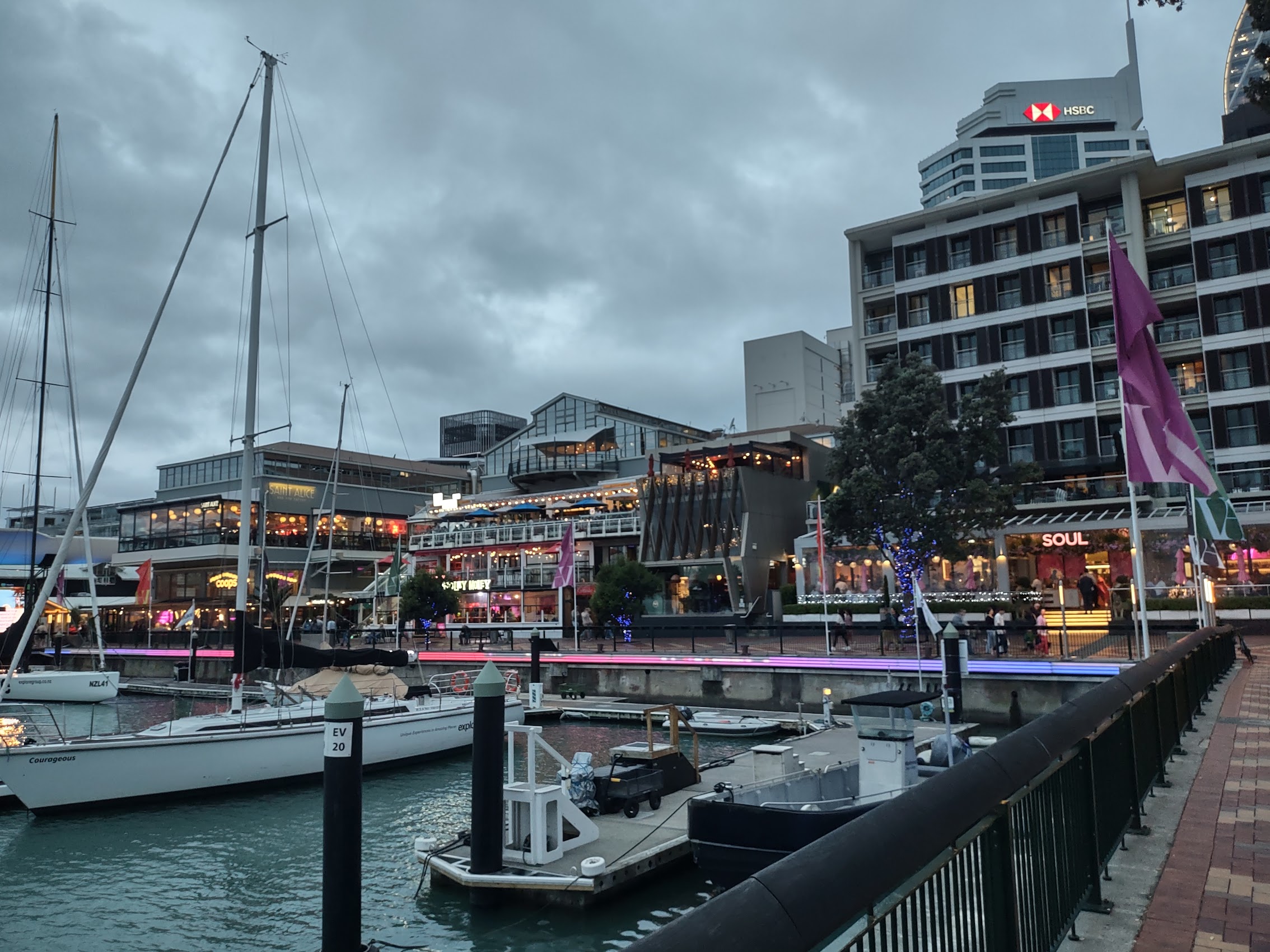
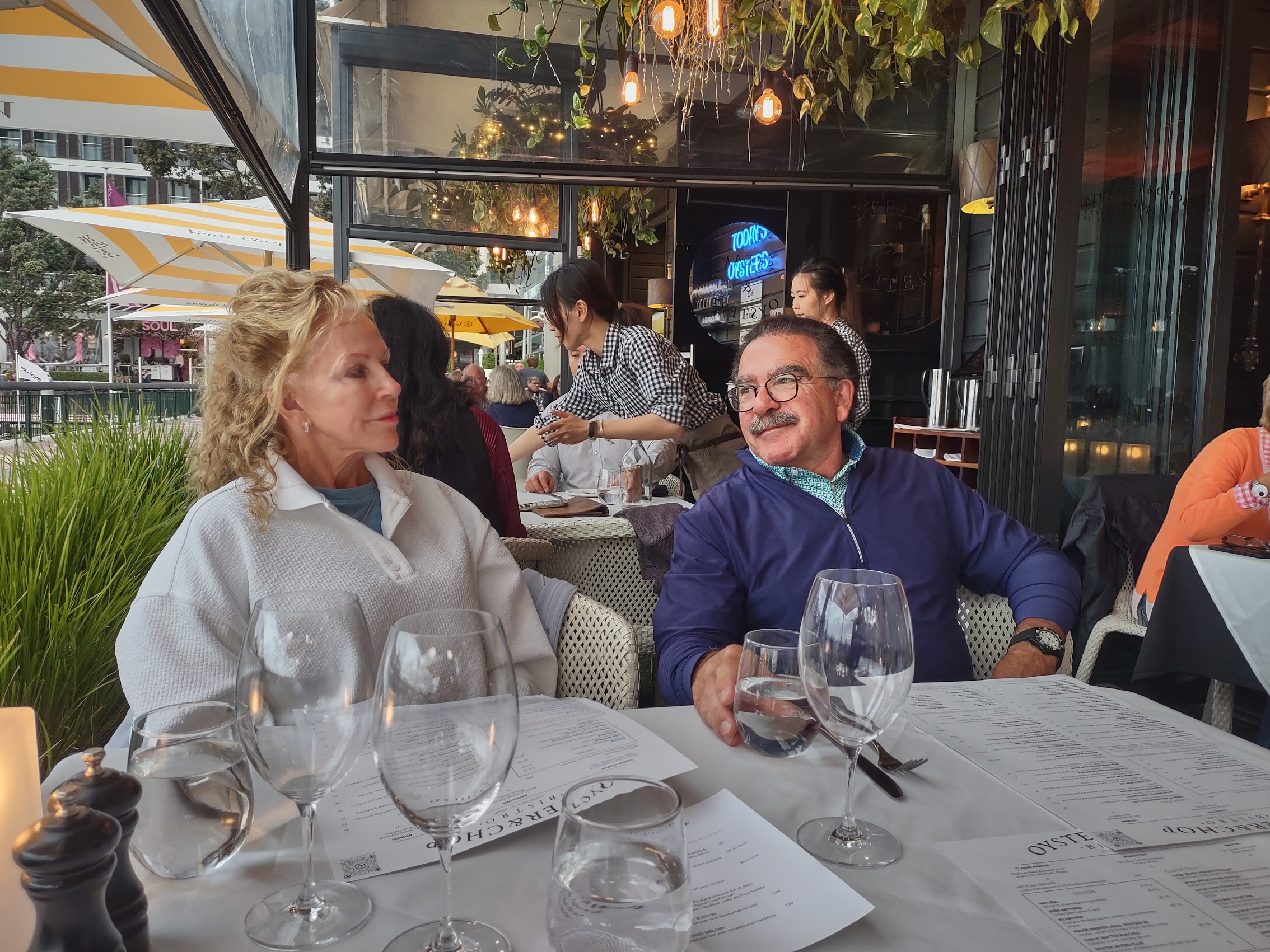
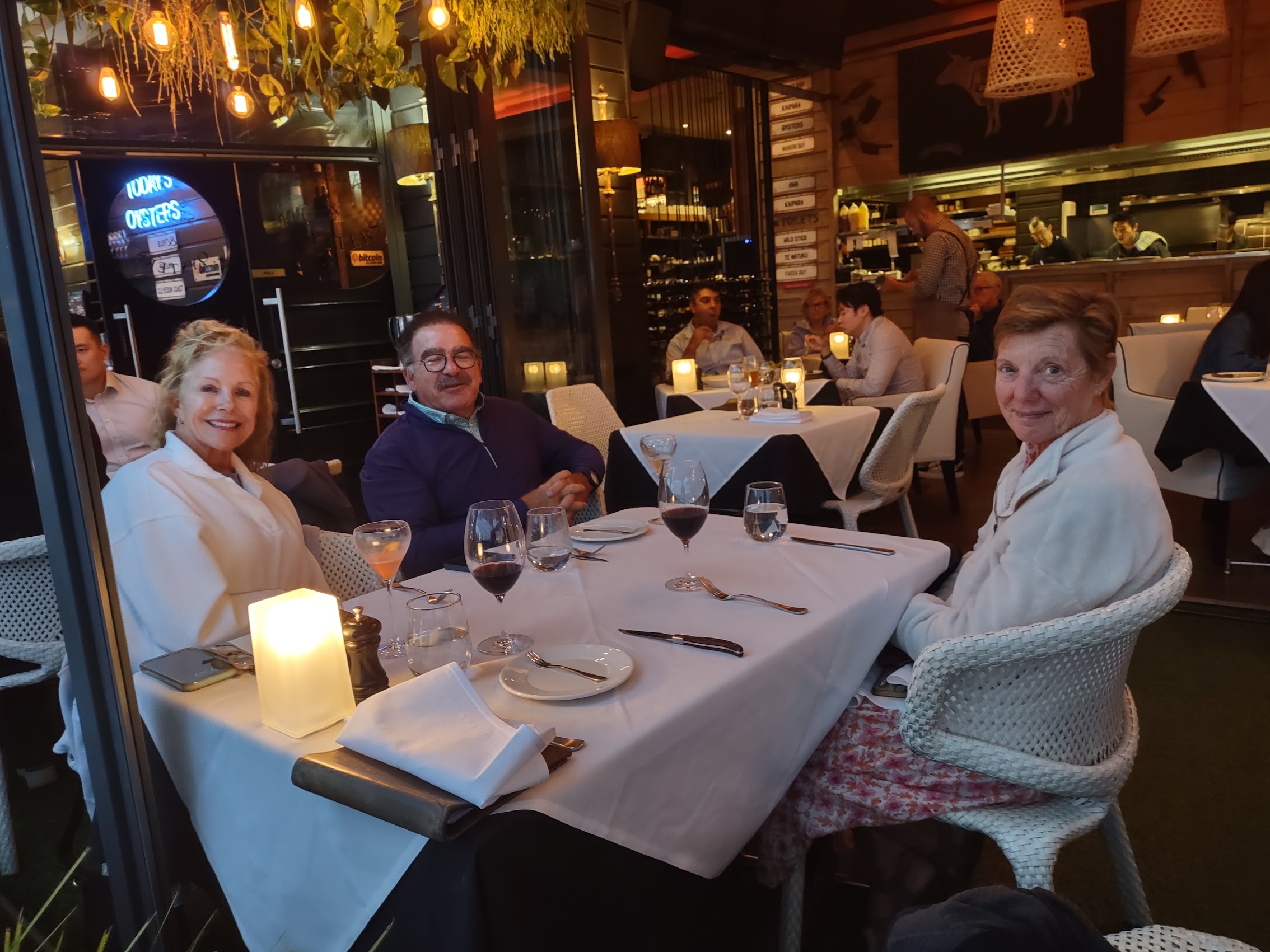
As the sun set and lights began to come on around the harbor, we moved on to a restaurant we had seen earlier on the harbor side of our building called Oyster and Chop. As the name suggests, their specialties were oysters and steaks and we enjoyed a fantastic “last supper” of both along with cocktails and more great New Zealand wine. Knowing that it was our last evening together (at least for a while), we were hesitant to call it a night, but eventually had to as we all had organizing and packing to do.

Goodbye New Zealand
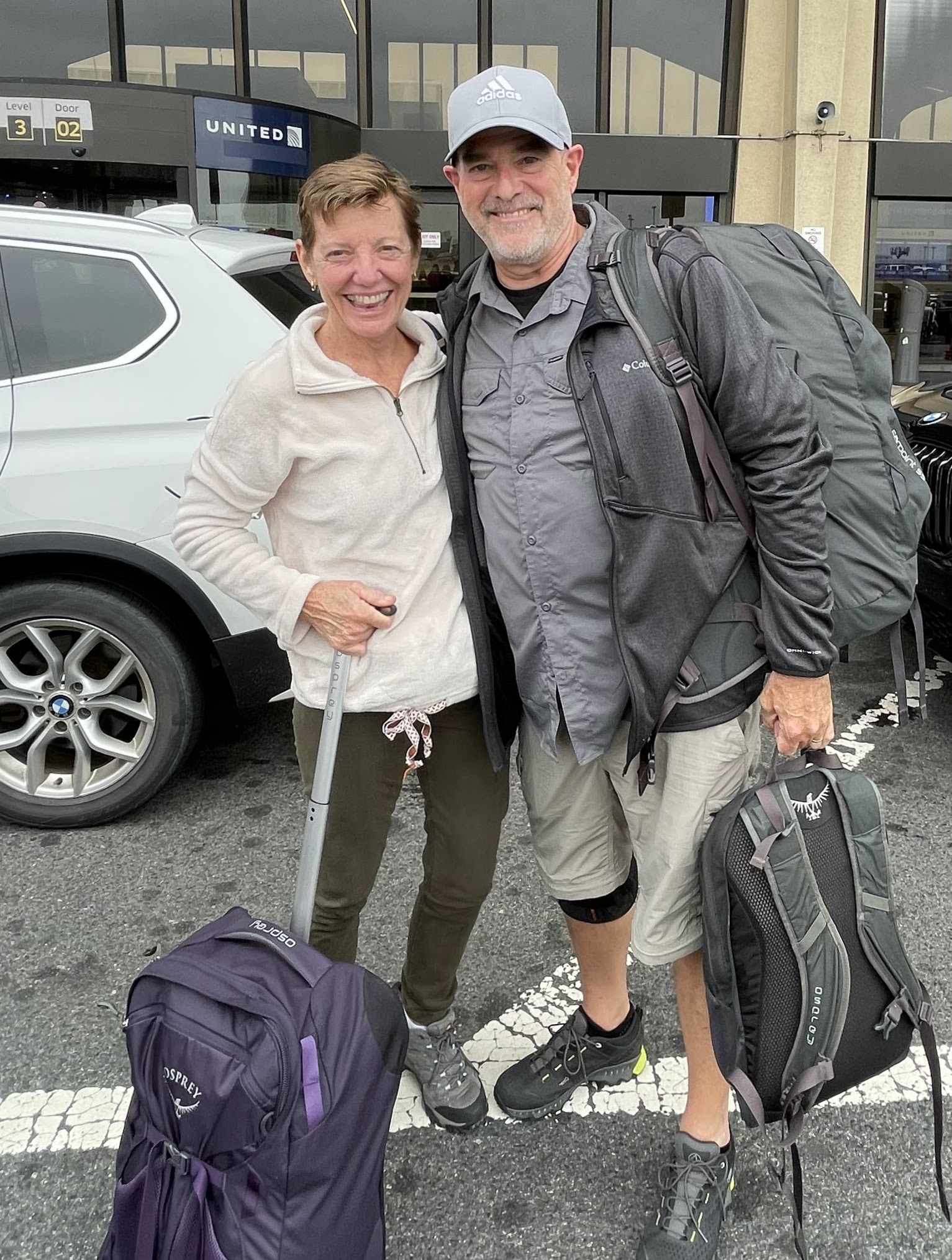
Colleen and I were up early the next morning as we had a fairly early flight and had agreed to drop the car at the airport. The Maddens had a later flight, but were up to see us off.
It was truly a sad moment saying goodbye after having spent so much time together over the prior 24 days. But I at least was consoled by the fact that it had been a truly amazing and epic adventure that had left us all with memories I’m sure that we will treasure for the rest of our days. Our 16 days in New Zealand seemed to have flown by, but with 11 different stays over that period and a number of tours and special events scheduled along the way, it was a bit of a whirlwind but which I think left us all more sated than exhausted.
I do believe that travelling with the Maddens drove us to up our game and, I think, led to us doing and seeing more than we might have had it just been the two of us. All of us were certainly struck by how beautifully diverse New Zealand is and I must confess that Colleen and I separately (and then together) declared it to be the most beautiful country we had visited thus far.
But just like that, we went from being four back to being two as we made our way to the Auckland airport to make our way to the final country in The Big Trip itinerary, Vietnam. See you there soon!

Leave a comment