Australia vs New Zealand
I think there is a tendency among North Americans to closely associate, if not confuse, the countries of New Zealand and Australia. (The similarity in their flags certainly doesn’t help matters.) To start with, from our distant perspective I think most of us imagine the two countries as being next door neighbors while in reality they are actually separated by about 1,500 miles of ocean (the Tasman Sea). Having spent nearly two full months in Australia before travelling to New Zealand, it was perhaps natural for us to compare the two countries, and, at least at first glance, they do have some obvious similarities, starting with their languages and accents, which are indistinguishable to most American ears. (I’m tempted to say that we can, at this point, distinguish between British and Australian accents, but between Aussie and Kiwi, not so much.)
Both countries do have similar recent histories, both having been “discovered” by Dutch explorers in the 17th century before becoming British colonies (Australia in 1788 and New Zealand about 50 years later), though unlike Australia, convicts were never sent to New Zealand. But, as we would learn, there are perhaps not as many similarities between the two countries as one might think and there are definitely some pretty noteworthy differences between them.
One notable way in which New Zealand and Australia differ pretty dramatically is in regard to the history (and disposition) of their respective indigenous populations. While the Aboriginal First Nations peoples of Australia migrated there over 50,000 years ago, New Zealand was actually the last large habitable land area to be settled by humans (only about 700 years ago) when Polynesians migrated there and established the much newer Māori culture.
Given this sizable difference in term of residency, it was a bit surprising to discover that the Maori in New Zealand (Aotearoa in their language) appear to have fared much better than the Aboriginal First Nations peoples of Australia. Although there clearly remains room for improvement, we were surprised to see how much more visible and integrated were the Māori people of New Zealand (who make up almost 20% of the population) than were the Aboriginal First Nations peoples in Australia (who now comprise less than 4% of that population). During our time in New Zealand, we found that the Māori people are generally very proud of their culture, actively working to keep their heritage alive by integrating Māori values into modern life and sharing their cultural treasures with others. (Australia, not so much.)
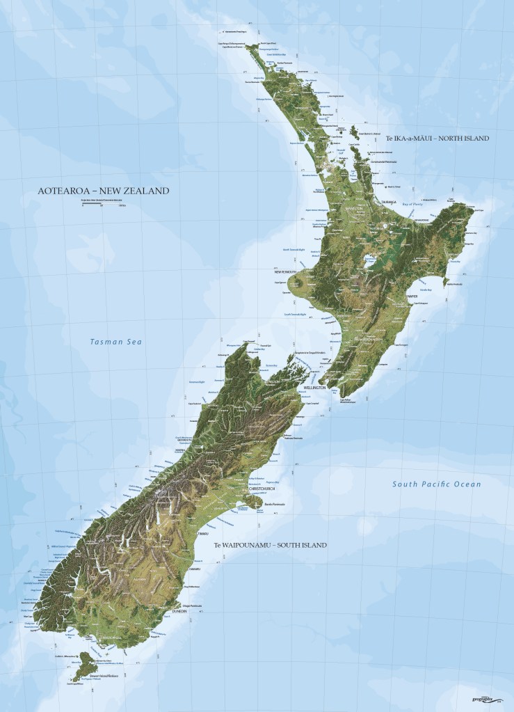
One rather obvious difference between the countries of New Zealand and Australia is their size. At just over 100,000 square miles (about the same size as the state of Colorado in the U.S.) New Zealand is only 3.5% the size of Australia. As regards population, there are more people in the city of Sydney, Australia (which we had just left) than in the entire country of New Zealand which has a population of about 5.2 million people (about 20% that of Australia).
Did I mention that there are two large islands in New Zealand, the North Island and the South Island (The Maori names for them are “Te Ilka-a-Maui, which translates to “the fish of Maui” and “Te Waipounamu” which translates to “the waters of greenstone”, much more interesting than the English versions.) as well as over 700 smaller ones? The two main islands are separated by a body of water known as the Cook Strait which is about 14 miles wide at its narrowest point. Together, the two islands stretch about 1,000 miles from north to south and are about 240 miles at their widest point (about the same length and width as the state of California in the U.S.).
One of the more interesting (and, honestly, amazing) geographical facts about New Zealand is that, despite its relatively small size, it has about 9,400 miles of coastline. (For comparison, the entire Continental U.S. has about 12,400 miles of coastline and Australia has about 16,000.) Similar to Australia, most New Zealanders live near the coast – 90% within 50 kilometers (versus 85% in Australia) with an amazing 65% of Kiwis living within 5 kilometers of the ocean. Definitely Colleen’s kind of place!
Probably the most interesting and noteworthy geological feature of New Zealand is its location along the line where the Pacific and Indo-Australian tectonic plates meet (the islands of New Zealand were formed and elevated by tectonic activity between these plates).
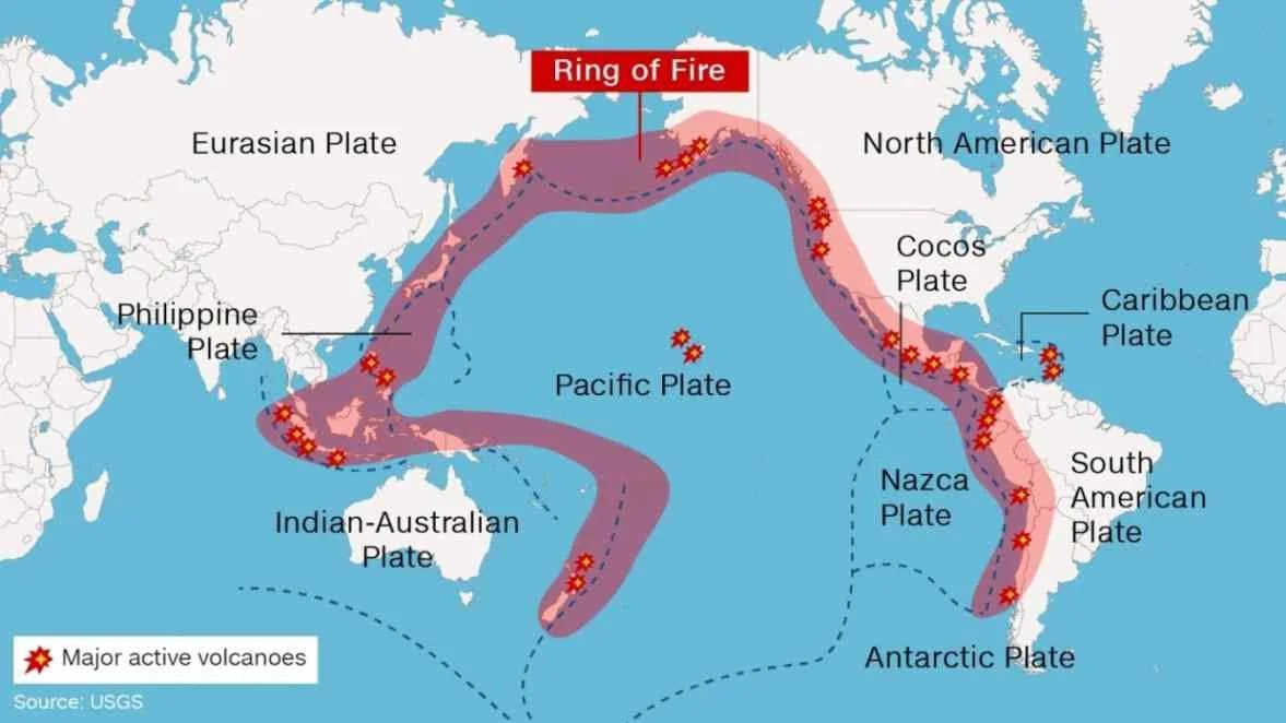
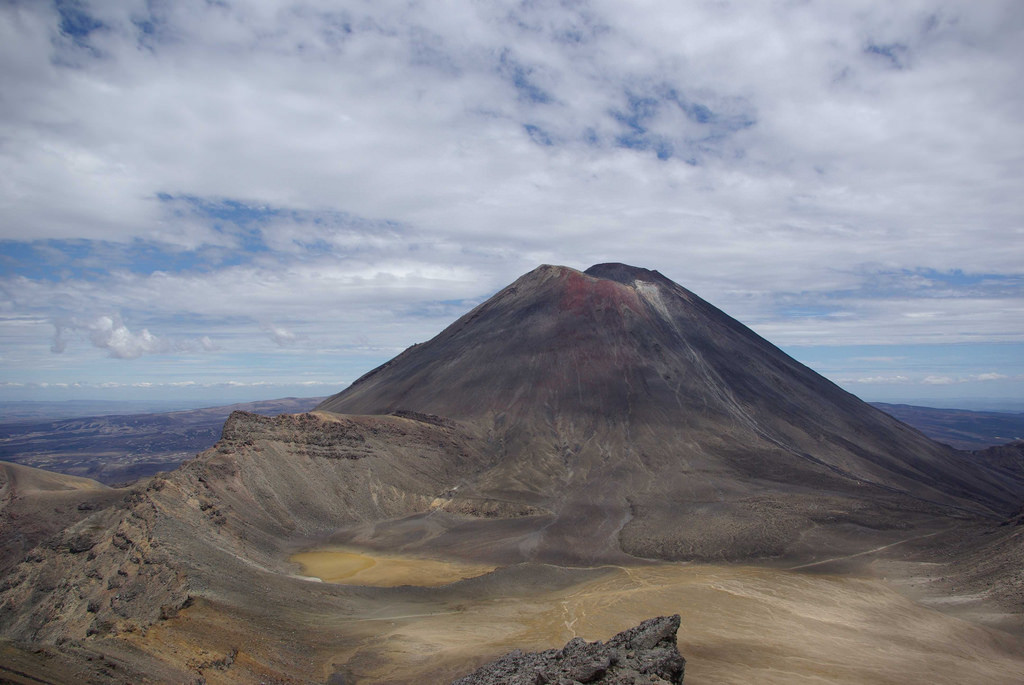
This location is part of the infamous “Ring of Fire”, a horseshoe-shaped area around the Pacific Ocean that’s known for its frequent earthquakes and volcanic eruptions. New Zealand has over 340 volcanoes and volcanic structures which have been active in the last 12,000 years (including 7,500 foot Mount Ngauruhoe which was featured as Mount Doom in The Lord of the Rings movies). Thankfully, only 8 of New Zealand’s volcanoes are currently active!
As a result of all of this, and despite its relatively small size (75th country in the world by area, 121st by population), New Zealand packs an incredible amount and surprising diversity of natural beauty – islands, rocky costs, beautiful beaches, dense forests (some with trees estimated to be over 2,000 years old), snowcapped mountains, fiords, glaciers, and (of course) volcanoes – not to mention what appeared to us to be some pretty interesting and unique towns and cities.
This of course made it very challenging to decide where to go and what to see (and not see) even with 16 days at our disposal. We spent quite a bit of time going back and forth with our travel partners the Maddens (who were still in Michigan at the time) and put together what we thought was a pretty good itinerary which I think included something for everyone (though, at Colleen’s insistence, no active volcanoes). It was, however, a pretty aggressive itinerary which included 11 stays (and one special stop along the way) with only one stay longer than 2 nights and seven 1-night stays which seemed likely to test everyone’s travel stamina.
Getting Around New Zealand
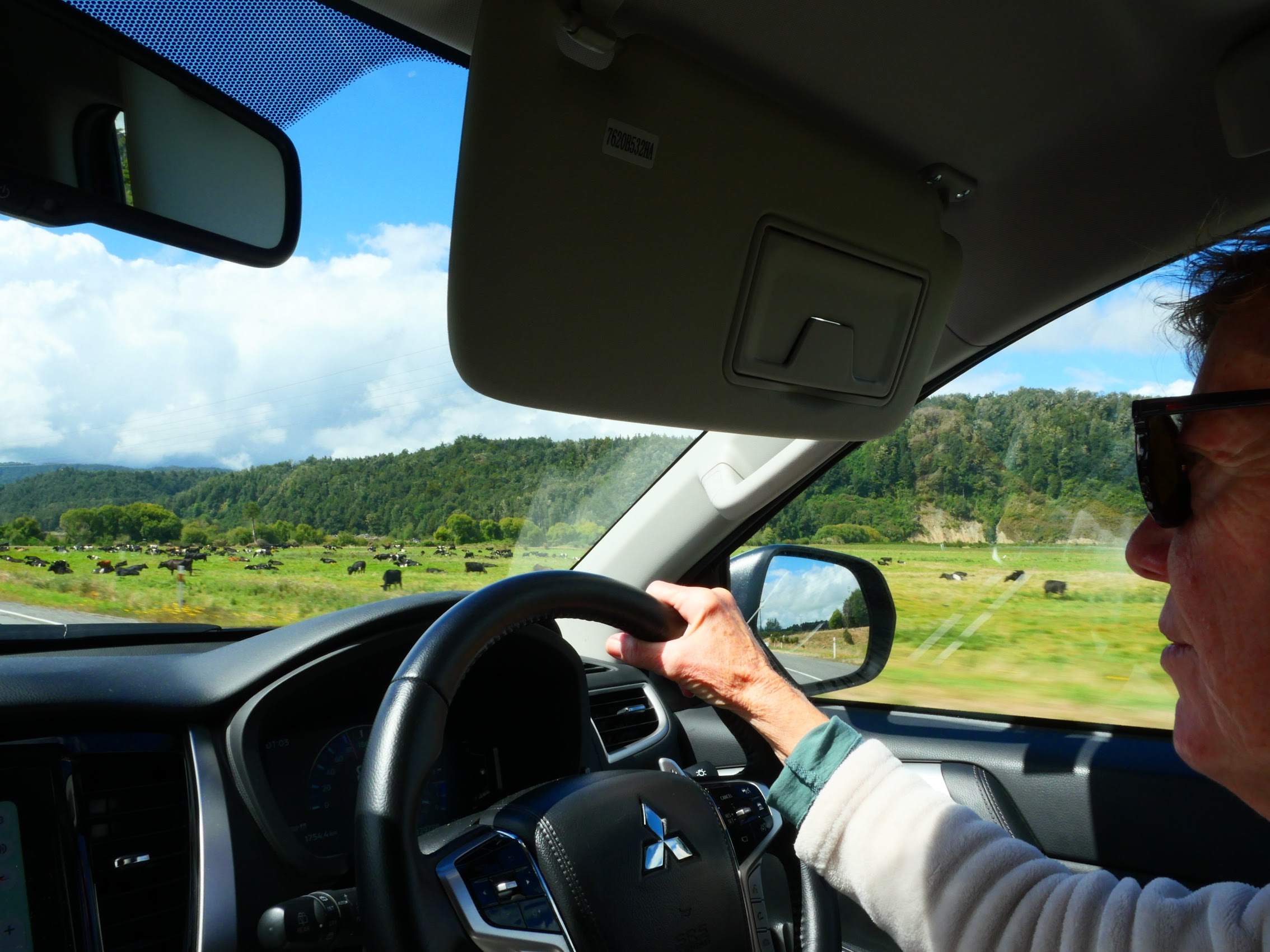
While it was possible (at least in theory) to reach most (but not all) of the places on our itinerary by bus, train, and/or ferry, doing so would have been both time-consuming and, with four travelers, surprisingly more expensive than what one might think. Perhaps more importantly, (for better or worse) we really wanted the ability to be flexible and spontaneous, so we decided that a rental car was the way to go.
This raised the question of how to travel between the two islands and, while the ferry ride between the North and South Islands sounded like it could be pretty epic, we concluded that the quickest, easiest, and least expensive way to do this was separate car rentals on each of the two islands and instead fly between them. Logistically, we concluded that Aukland, with its large international airport was the best port of exit for all of us, so we decided to start with a loop of the South Island beginning and ending in Christchurch, then flying to Wellington on the southern end of the North Island, and then doing a one-way car rental from Wellington to Auckland.
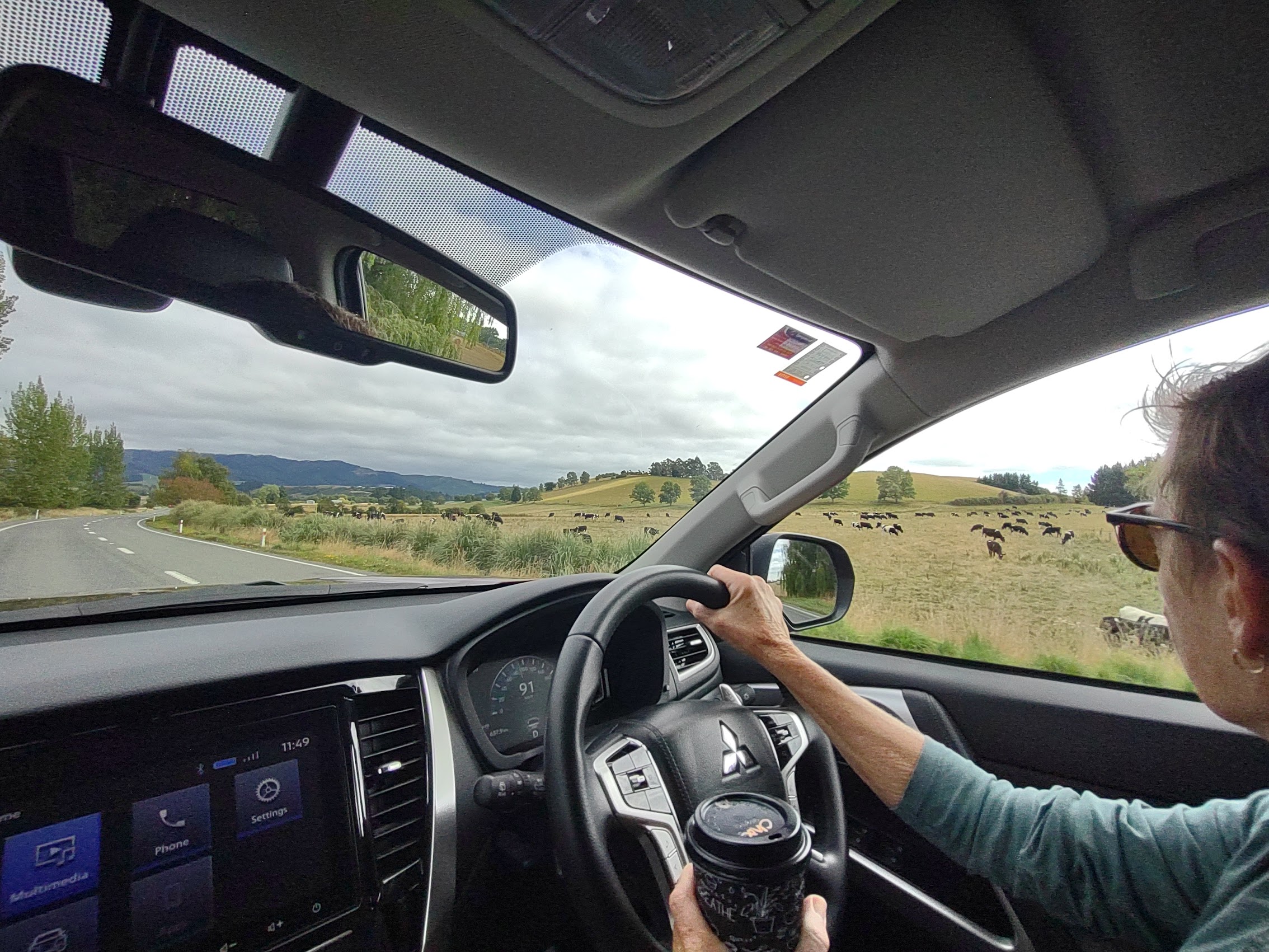
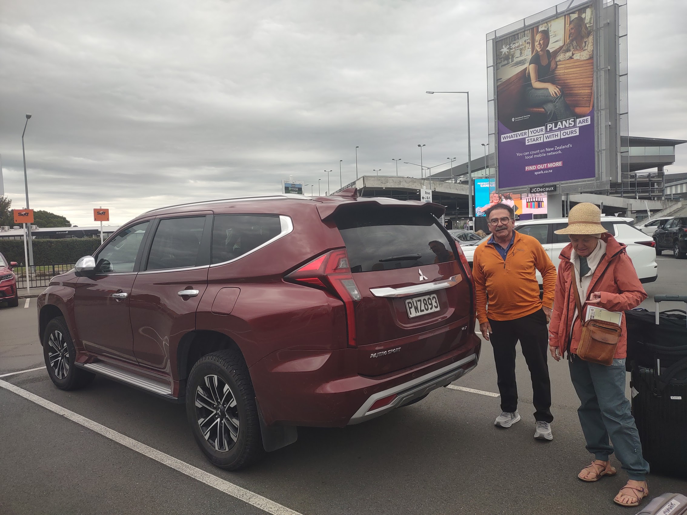
Colleen and I had started to look into car rental options and quickly became concerned about the comfort and roominess of what we thought were affordable vehicles. Additionally, and despite her recent experiences driving on the “wrong” side of the road in a left-hand drive car, Colleen (who had already been identified as our designated driver) had concerns about driving a vehicle much larger than the compact SUV she was used to driving. About this time, Denny volunteered to handle the booking and Colleen provided him with all the necessary details after which we didn’t give it much more thought as there were plenty of other tasks to attend to.
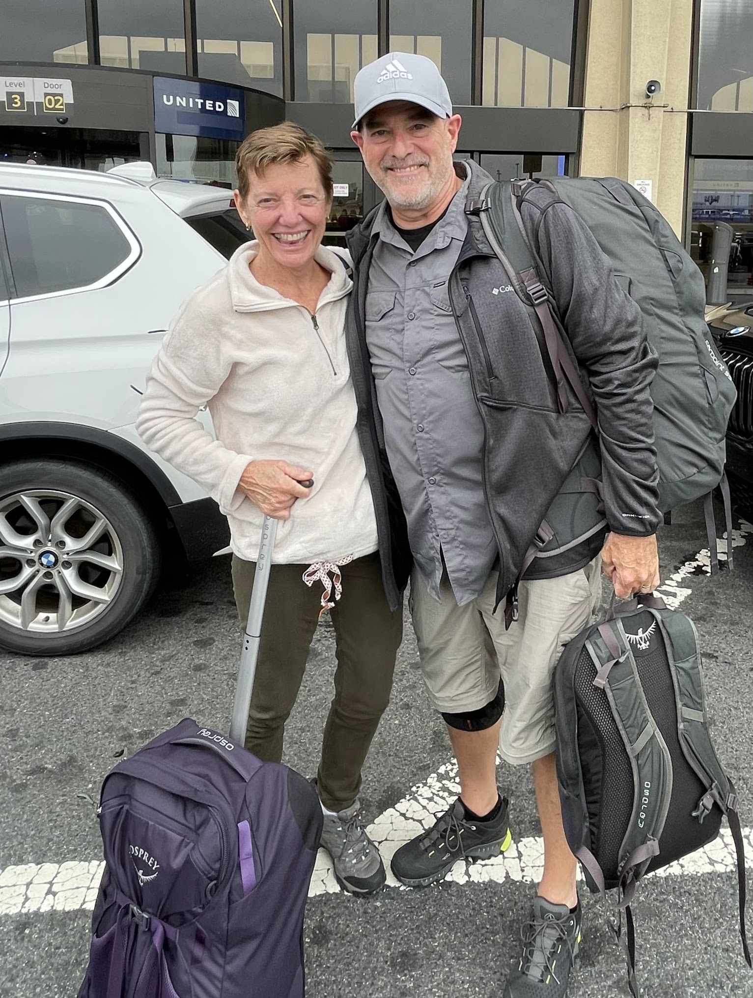
And so, when we arrived at Christchurch Airport on the evening of Sunday February 25th, we (Colleen and I) were a little surprised to find what appeared to be the biggest SUV on the lot waiting for us. While Colleen still had some reservations about driving such a large vehicle (at least in the beginning), I have to applaud Denny on his foresight as it seems unlikely that we would have been able to fit all of our luggage in and questionable whether all of us would have survived the trip in any of the vehicles Colleen and I were considering.

We settled into the positions which would become our norm for much of the next 16 days – Colleen driving, me navigating, and Denny and Wendy “nestled” in the back seat. In reality, between Denny’s work in Michigan (which involves not only tightly scheduled and challenging production work, but lots of contract negotiations) and the construction project they were trying to get completed in Florida (with Wendy serving as the assistant architect and interior designer), a fair amount of work went on in that backseat as we wandered the highways and byways of New Zealand, despite the 18-hour time difference!
And so our New Zealand adventure began!
Christchurch
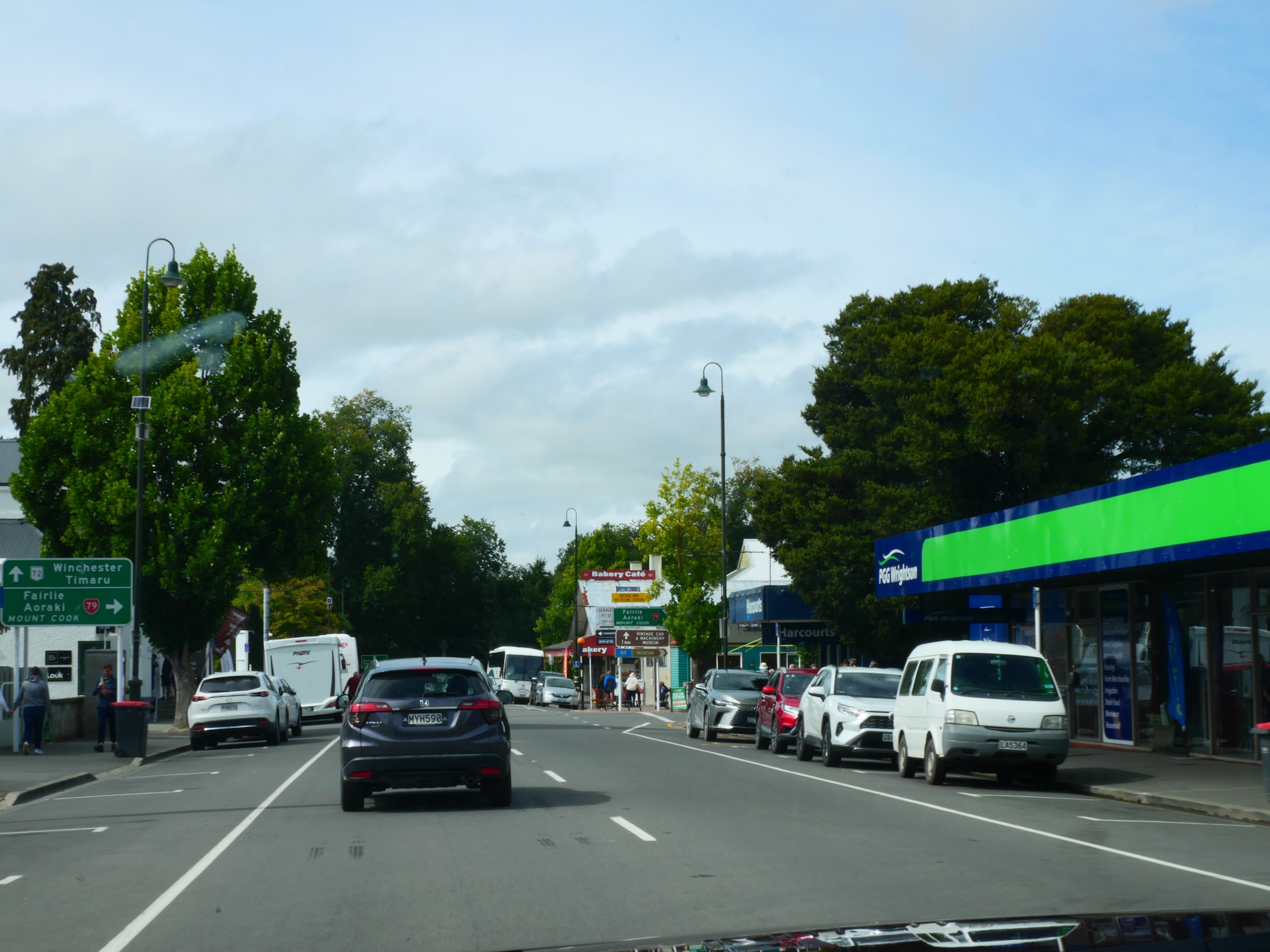
Our first stay in New Zealand was in Christchurch, which is the largest city on the South Island and second largest city in New Zealand with an urban population of over 400,000. As I noted above, Christchurch was the start and end point for a 9-day loop we would be making around the South Island but wasn’t really a destination in its own right. From what little we did see, I’m sure it is a very nice city, but it was dark by the time we arrived from the airport and we only saw a bit of it on our way out of town the next morning. Similarly, our Airbnb stay in Christchurch, a fairly new townhouse located in a fairly anonymous residential neighborhood near the city center was nice but we were only there for about 10 hours, most of which we spent sleeping.
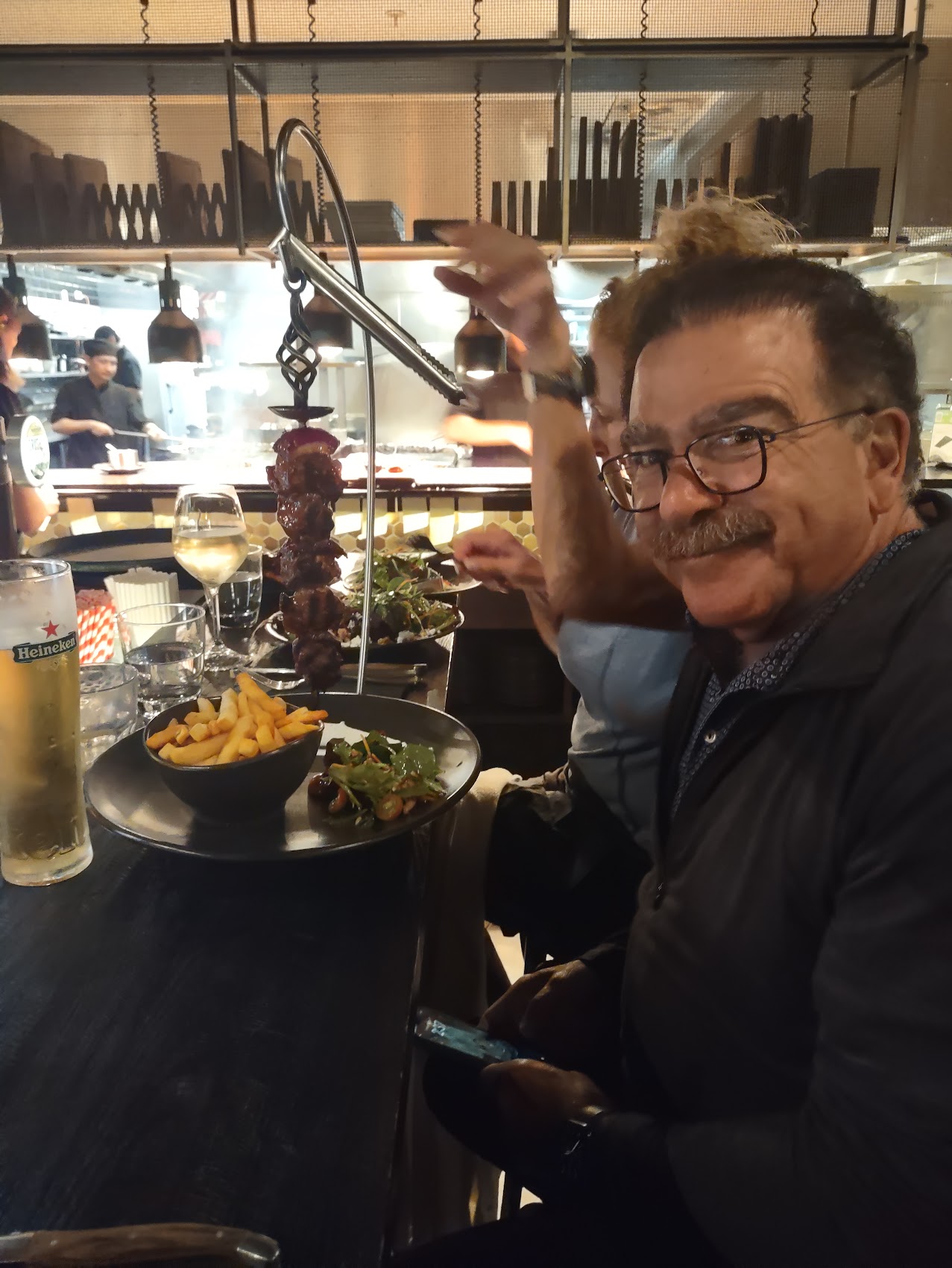
After a pretty long day of travel (and no dinner) we were all starving by the time we arrived at our stay. Given that it was approaching 9 PM on a Sunday night (we had lost 2 hours in the air), pickings were pretty slim in terms of finding a nearby place for some sustenance, but we really didn’t want to drive, so we set out on foot into the surrounding neighborhood.
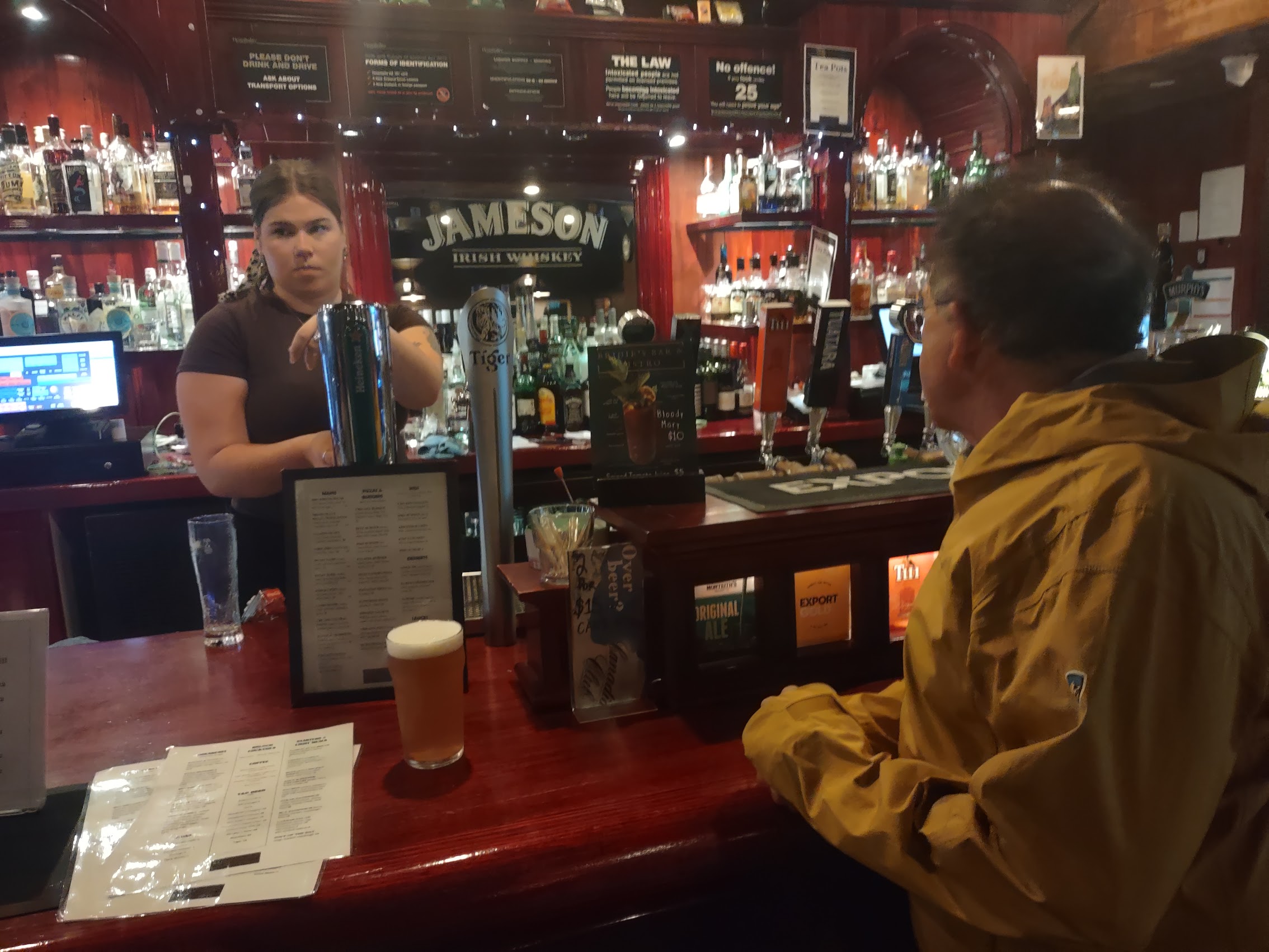
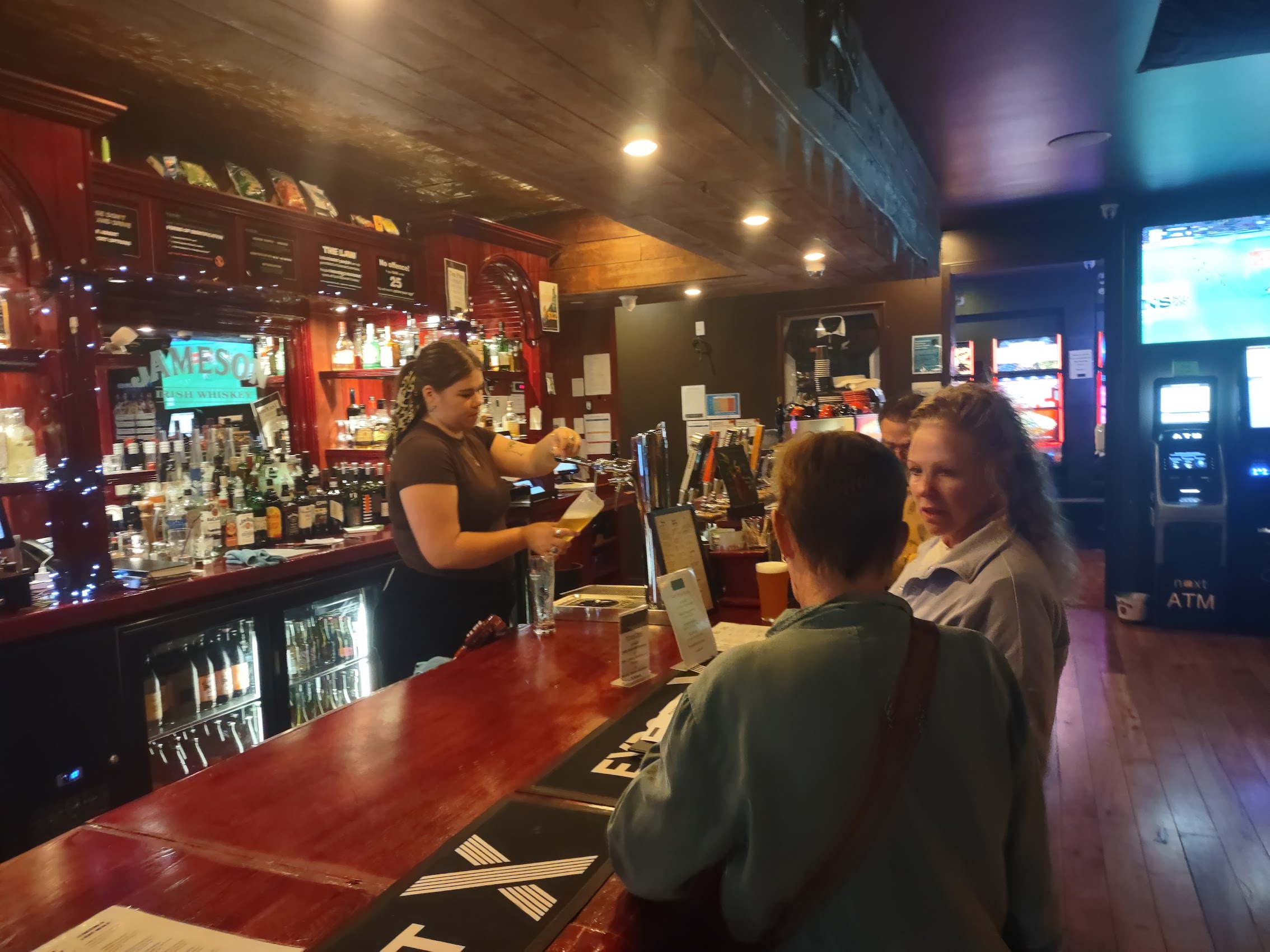
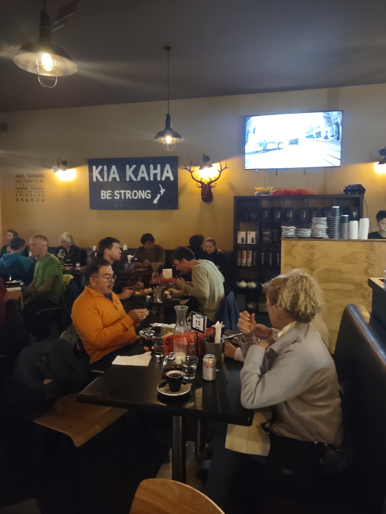
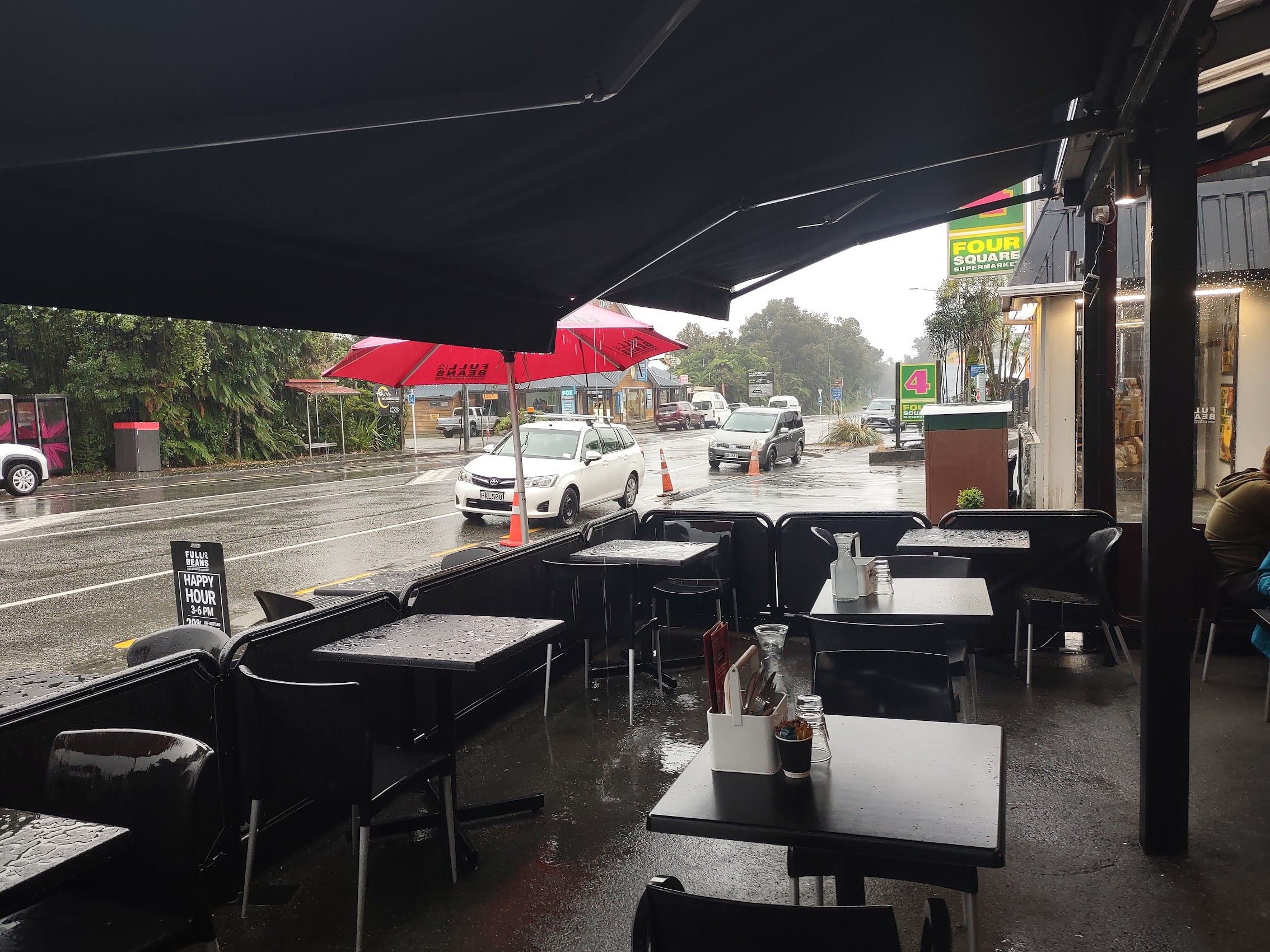
After a couple of misses, we came across a place called Bridie’s Bar & Bistro just a couple of blocks from our stay which was still open and (the important part) still serving food. Birdie’s was more bar than bistro, but they had good beer and wine and some passable pub grub (an assortment of meat pies and the like), and the staff and other patrons were quite friendly. Not a bad way to finish what had been a pretty long day of travel.
On the Road
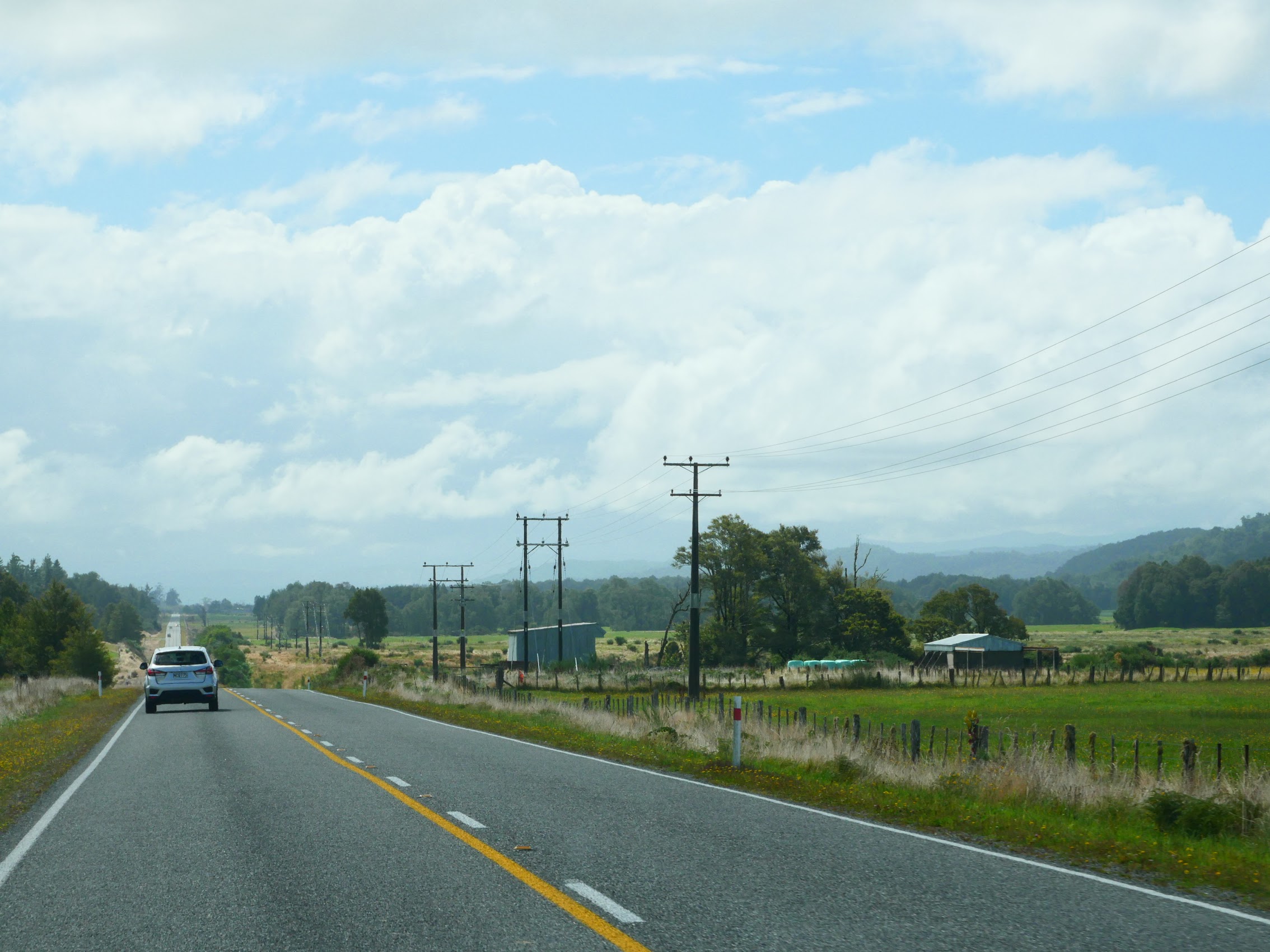
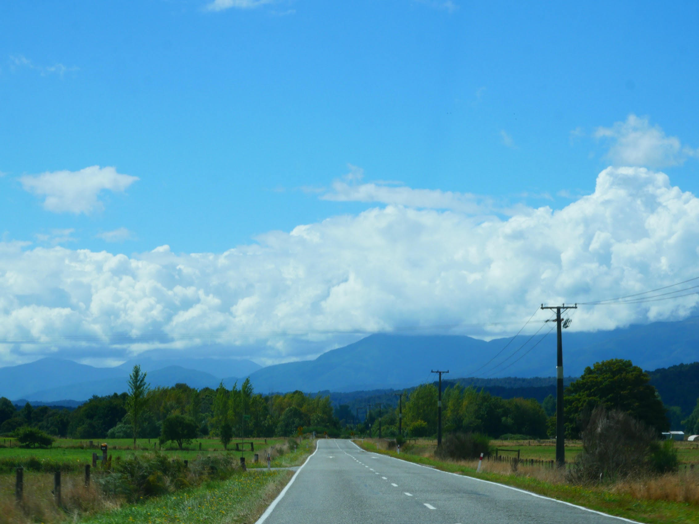
We were up with the sun and on the road early as we only had one day (and one night) at our next stay in Lake Tekapo (more about Lake Tekapo later). We headed south through the outskirts of Christchurch then west to NZ Highway 1 which ran southwest through the coastal plain with farms stretching of in either direction.
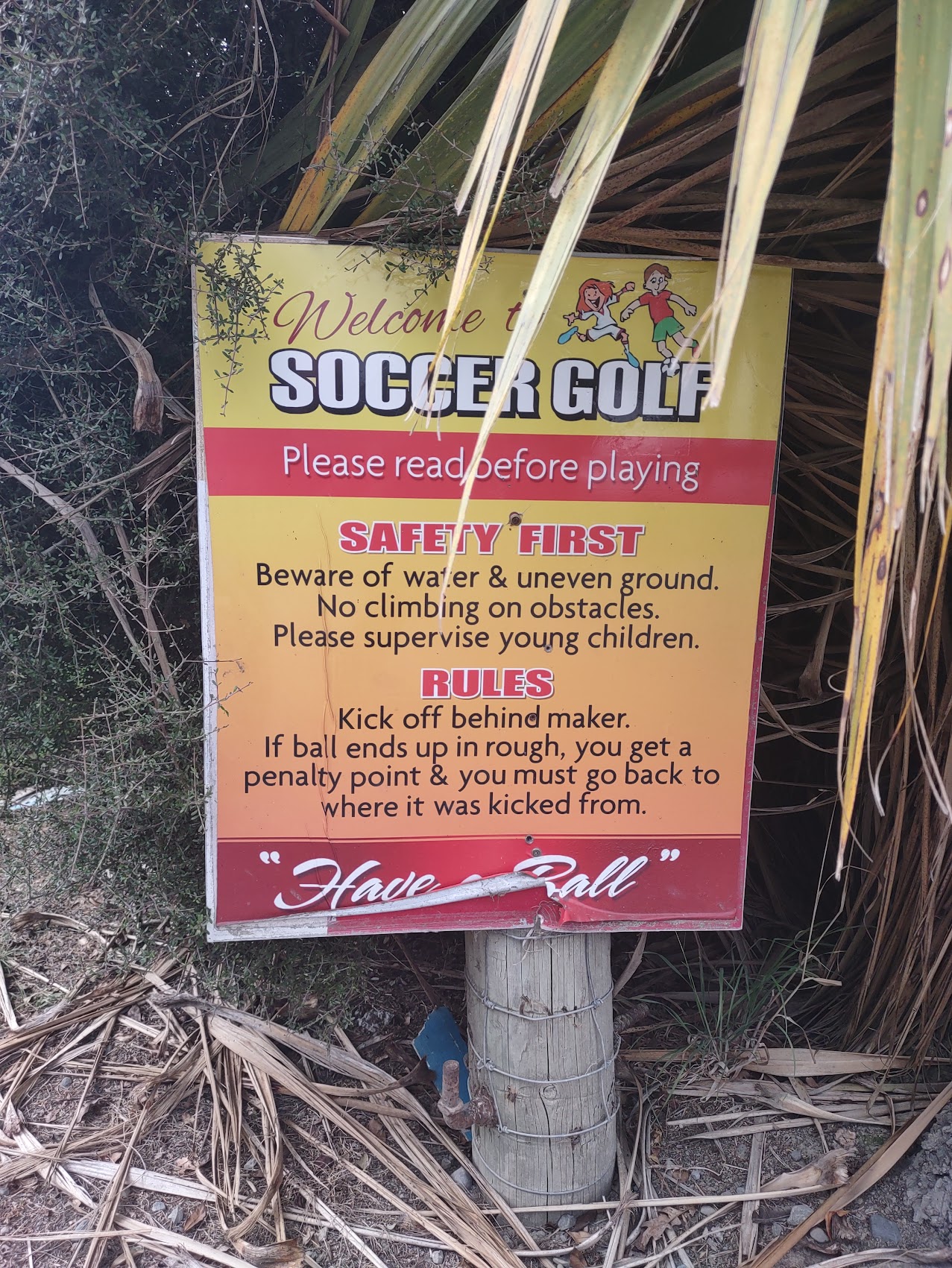
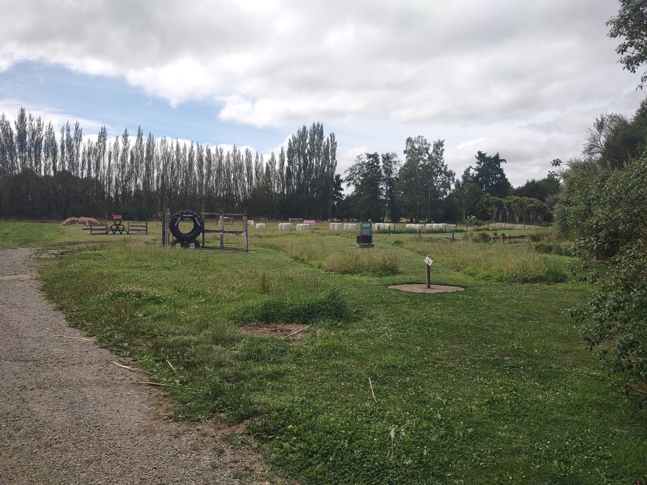
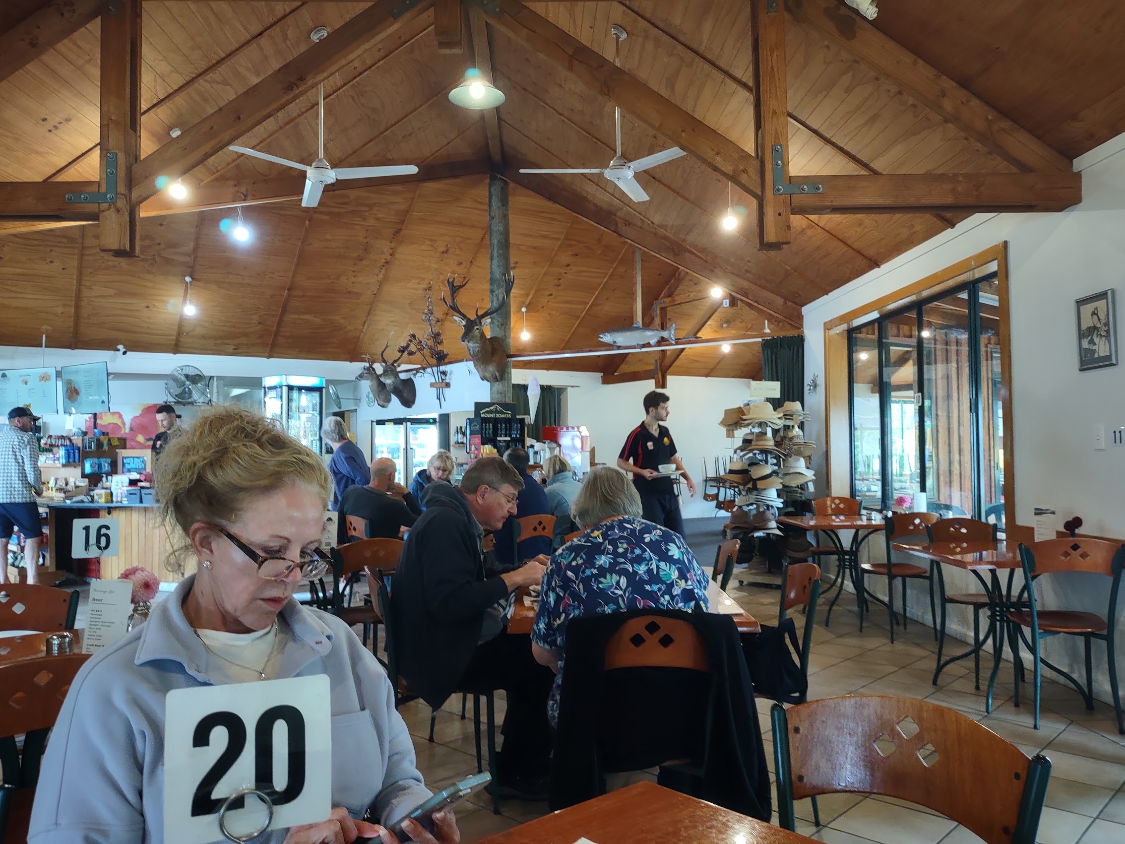
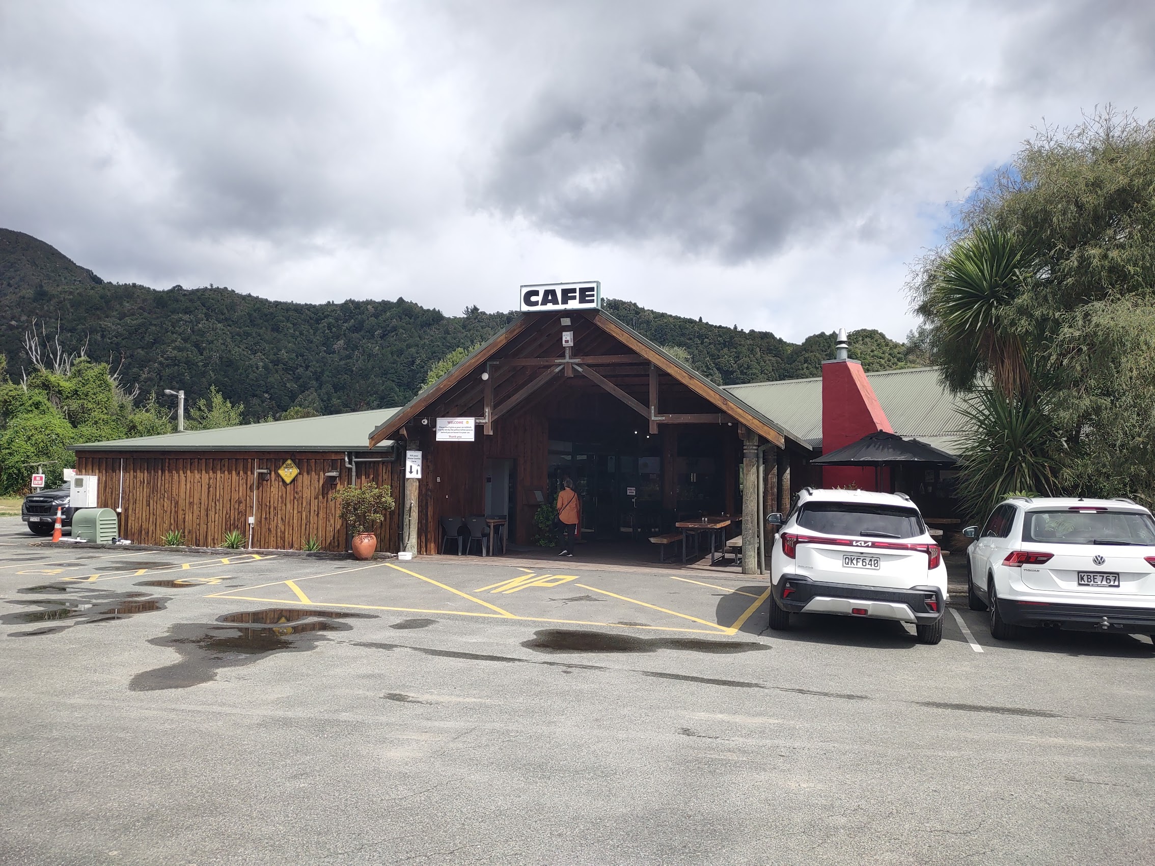
About an hour and a half later, shortly after exiting Highway 1 onto Route 76 (the road to Lake Tekapo), we stopped off for coffee and pastries at the Farm Shop Café just outside the town of Geraldine. The Cafe was an odd little place (not the last we would see during our travels in New Zealand), sa barn-like structure with its own soccer golf course (which we did not try). In addition to a café, there was also a large general store area selling baked goods, fresh produce, and a variety of other items.
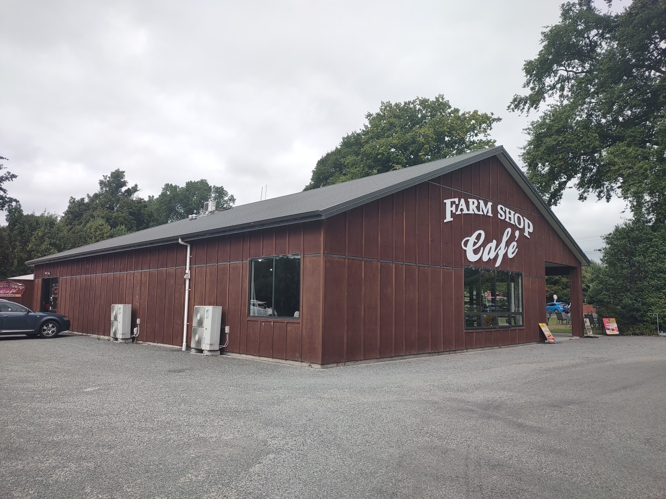
After our coffee and pastries, we perused the general store and (finally!) Colleen found a nice rain jacket at a good price which we purchased along with some fruit for the road, having a nice conversation with the proprietor who, like everyone else in the place was quite friendly.
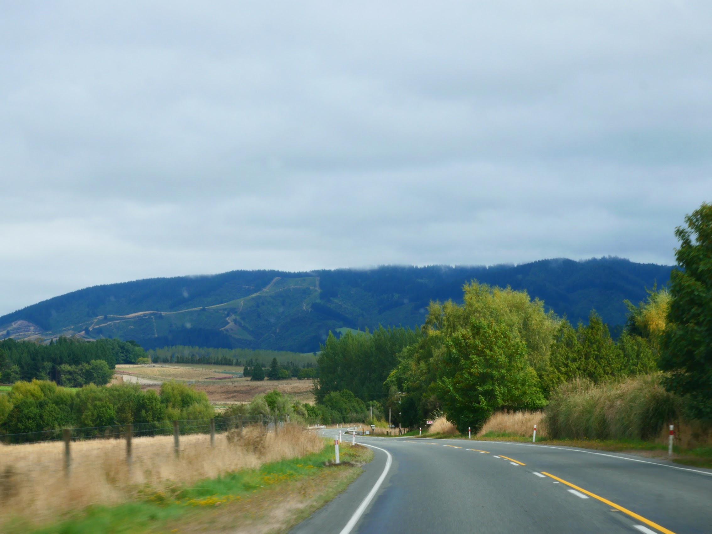
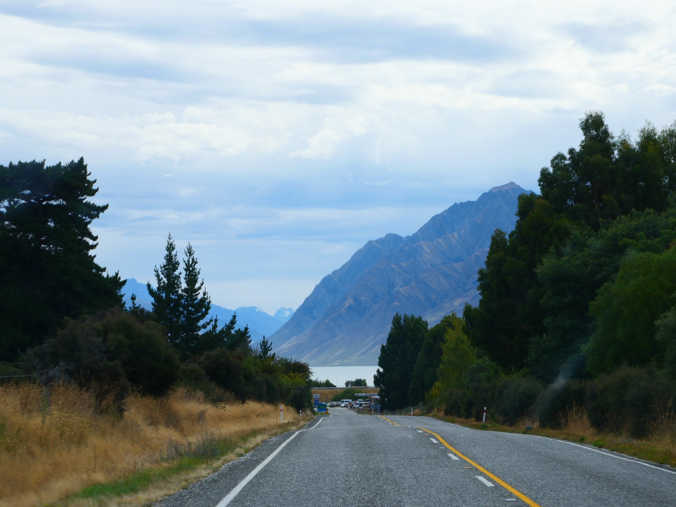
After passing through the town of Geraldine (population 3,000) the road turned due west and we began to see hills rising in the distance with mountains beyond. Before much longer, the road began to climb, gradually at first but growing increasingly steeper as we began to make our way up into what is known as the Southern Alps – the mountain range which runs along much of the length of New Zealand’s South Island.
Burkes Pass
As we approached the entrance to Burkes Pass, the final climb which led to the mountain plateau where Lake Tekapo was located, we came to what (on Google Maps at least) was the town of Burkes Pass. The town, first known as Cabbage Tree Creek, then Clulee, and finally Burkes Pass had sprung up around the only hotel in the region constructed in 1861. Its heyday was 1890 to 1910 when there was a population of 143 and a three-teacher school.
After passing a few small houses here and there we caught sight of something called Three Creeks which may have been one of the oddest roadside attractions we had ever seen. (The only thing I can think of which comes close is the Mystery Hole in Ansted, West Virgina. If your never heard of it, Google it! If you get the chance to do so, visit it!)
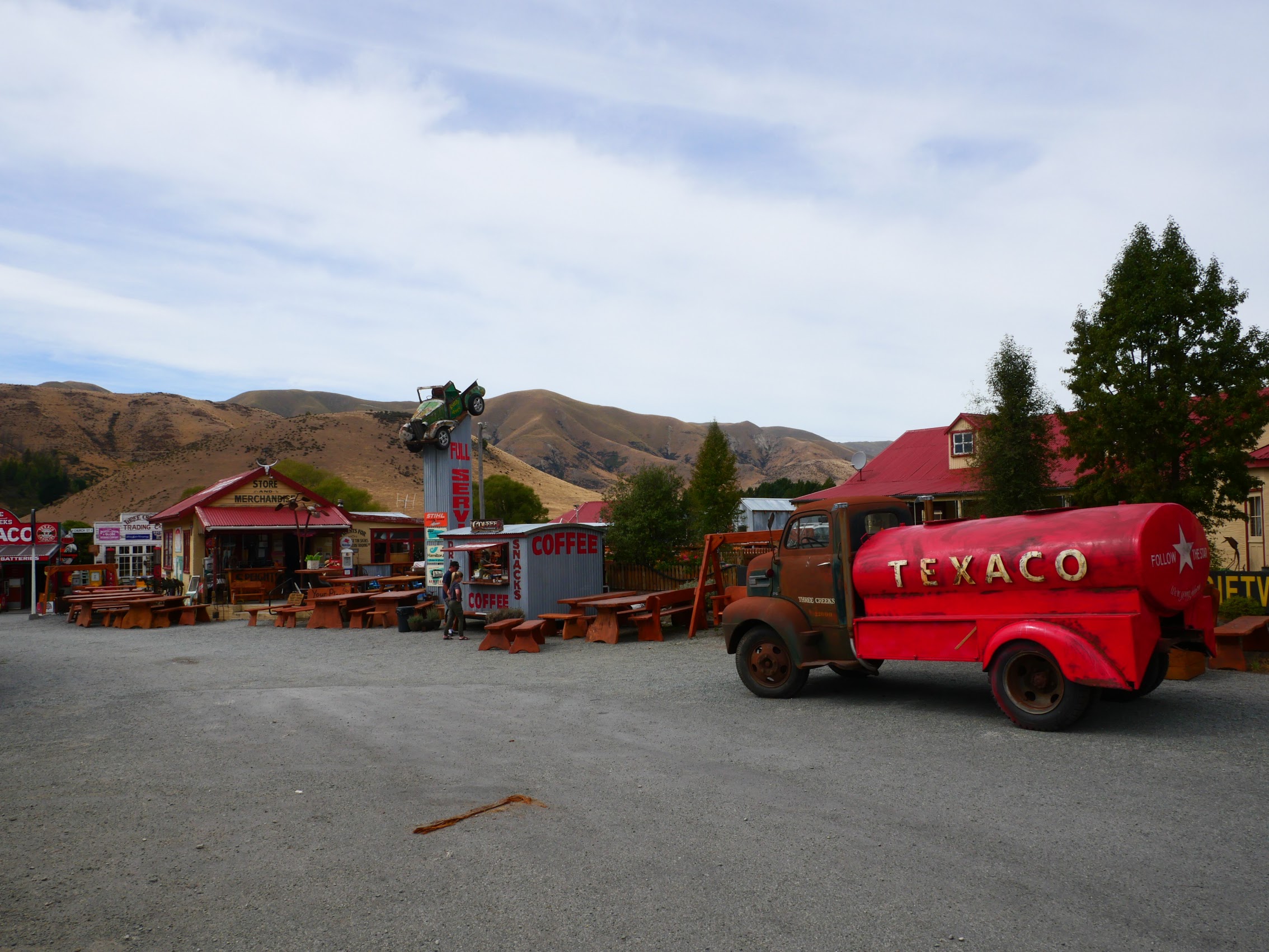
In any case, Three Creeks was composed of four primary structures – an old general store, a 1950’s service station, a blacksmith shop, and a trading post, along with a coffee caravan – which are surrounded by an assortment of old vehicles, machinery, equipment, and a lot of heavy wooden furniture, most of which is for sale. Inside the various stores and shops is an even odder and more extensive collection of smaller items ranging from antiques to junk most of which (again) is for sale.
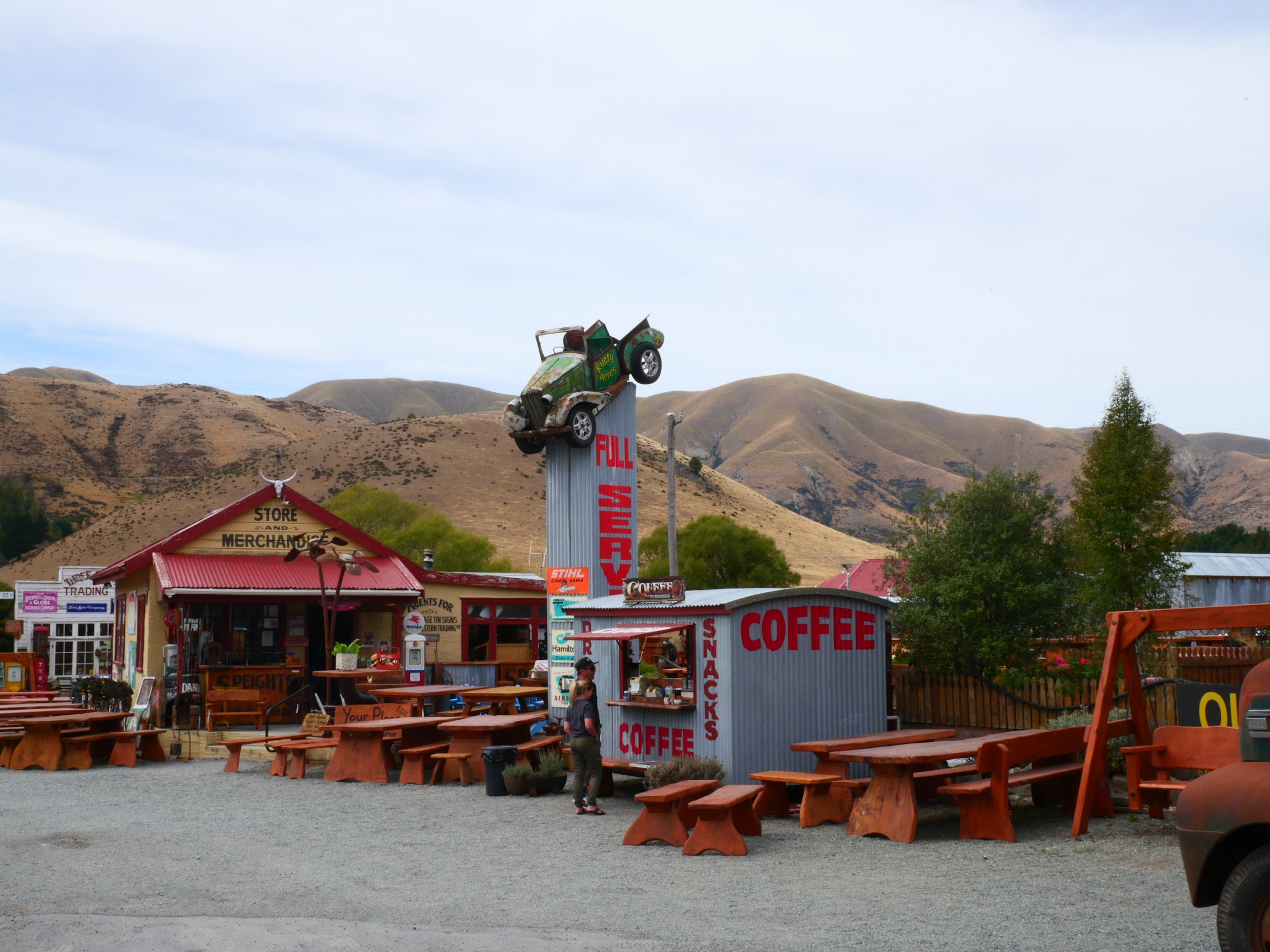
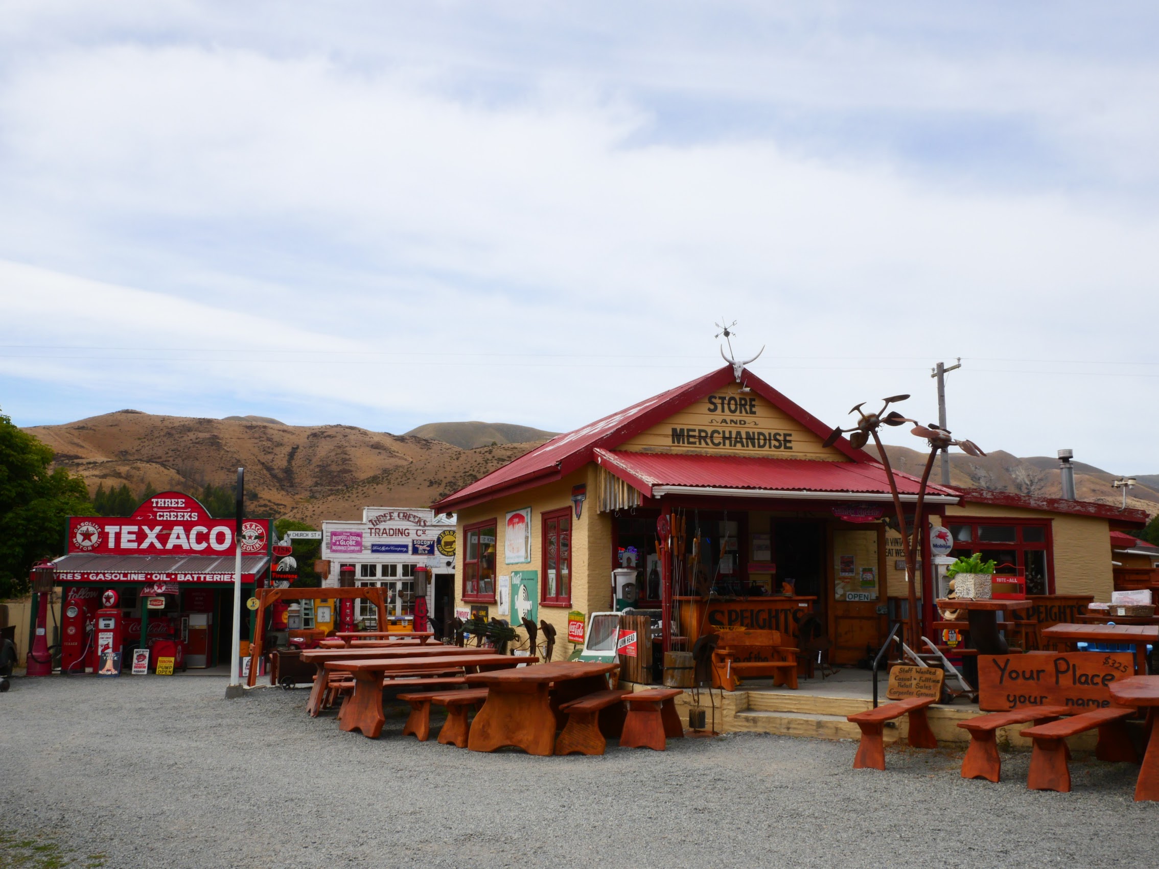
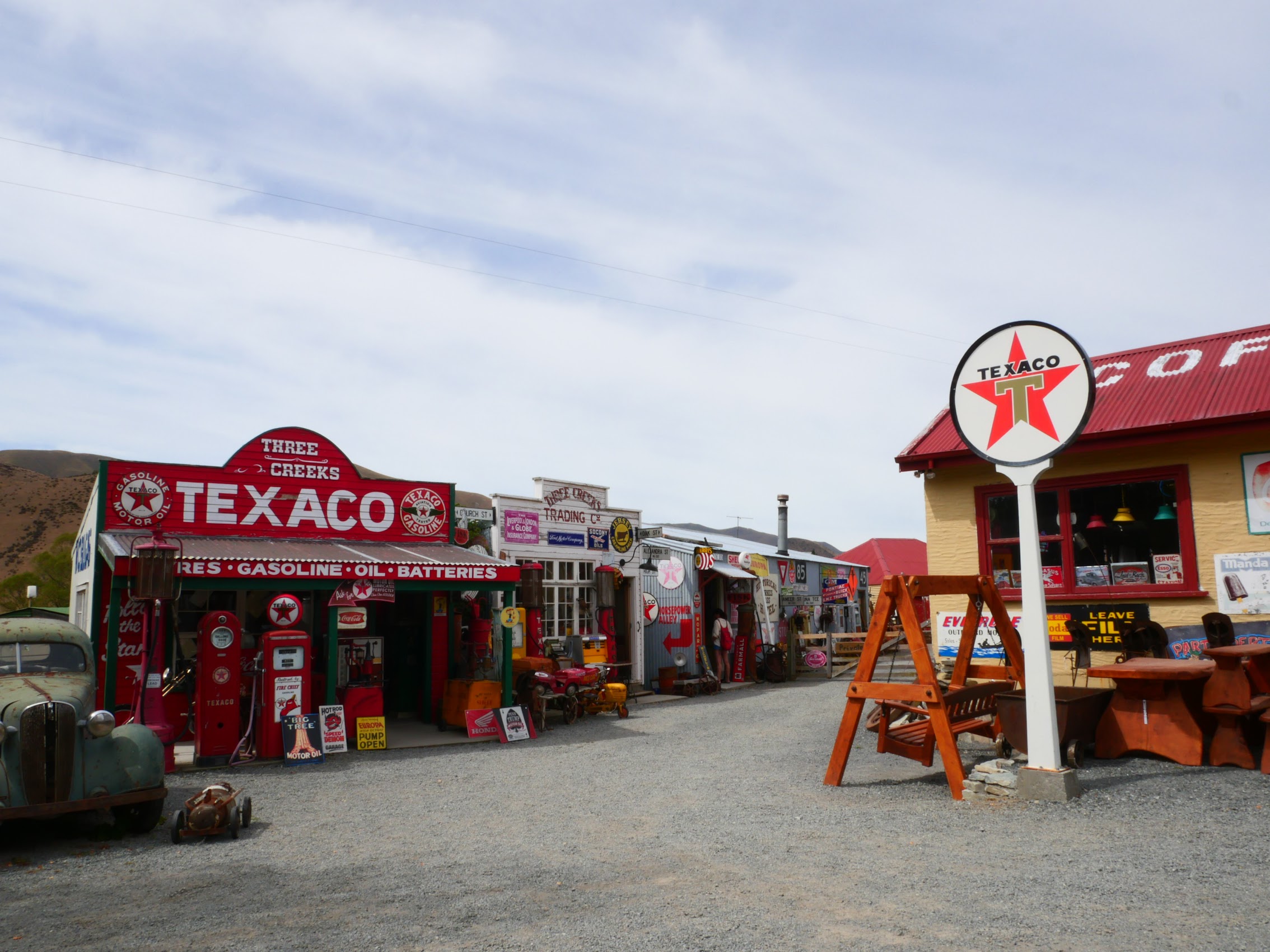
While we initially drove past it, we felt compelled to turn around and make a stop. Though we made no purchases, we found it all incredibly entertaining and even more odd because (like the Mystery Hole) it is located pretty much in the middle of nowhere.
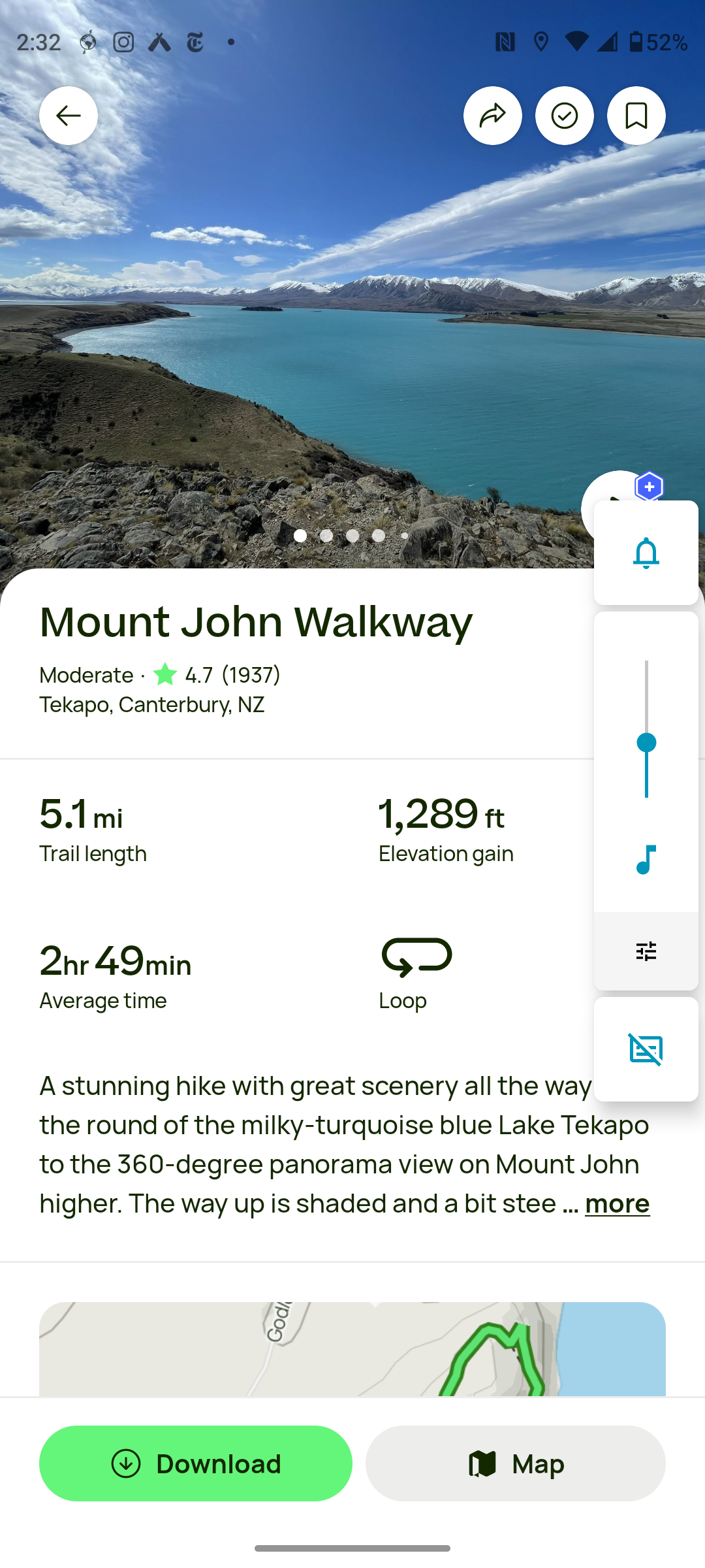
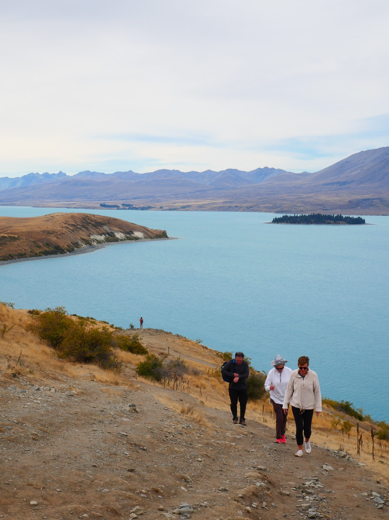
Lake Tekapo
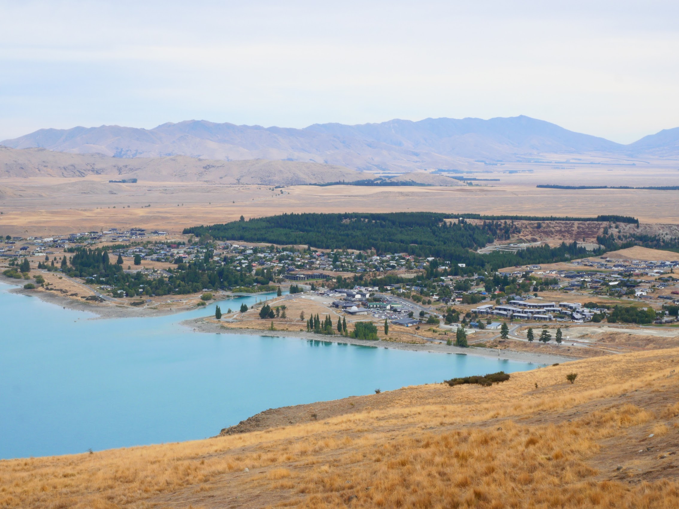
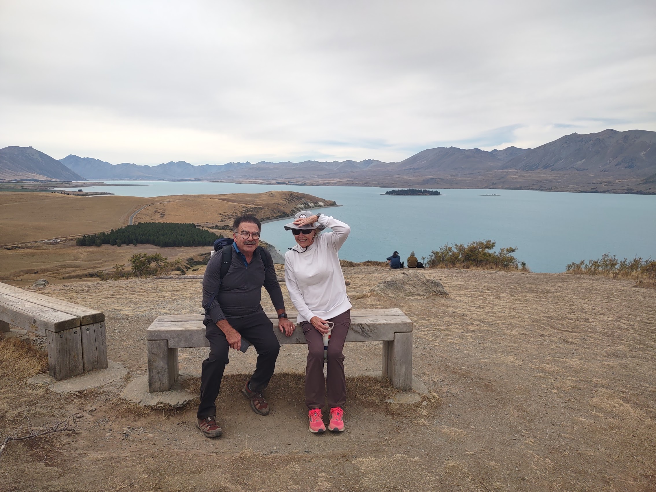
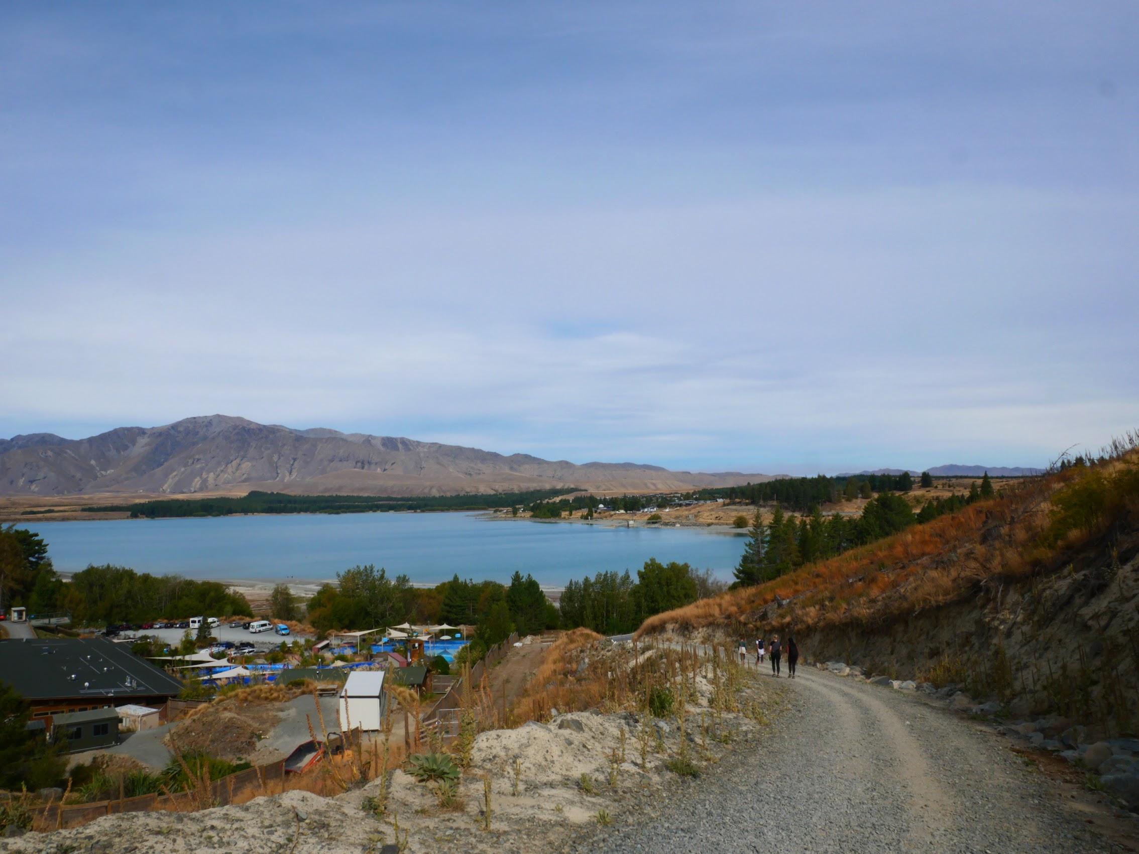
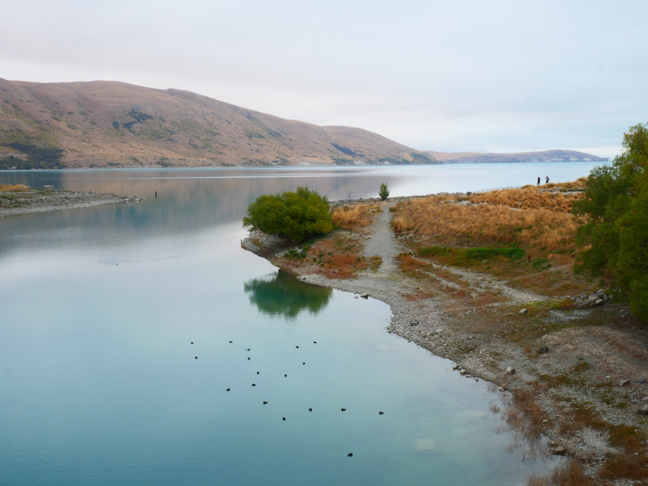
Our first real stop on the South Island was Lake Tekapo, a place Colleen had nominated for inclusion on our itinerary due to its location. The town of Lake Tekapo is a small town (I would be inclined to call it a village) of about 750 people located on the southern shore of a lake with the same name. Lake Tekapo is located in the Aoraki Mackenzie Dark Sky Reserve because of its clear atmosphere, large number of clear sky nights, and relative freedom from light pollution which make it an ideal spot for stargazing (most of the time).
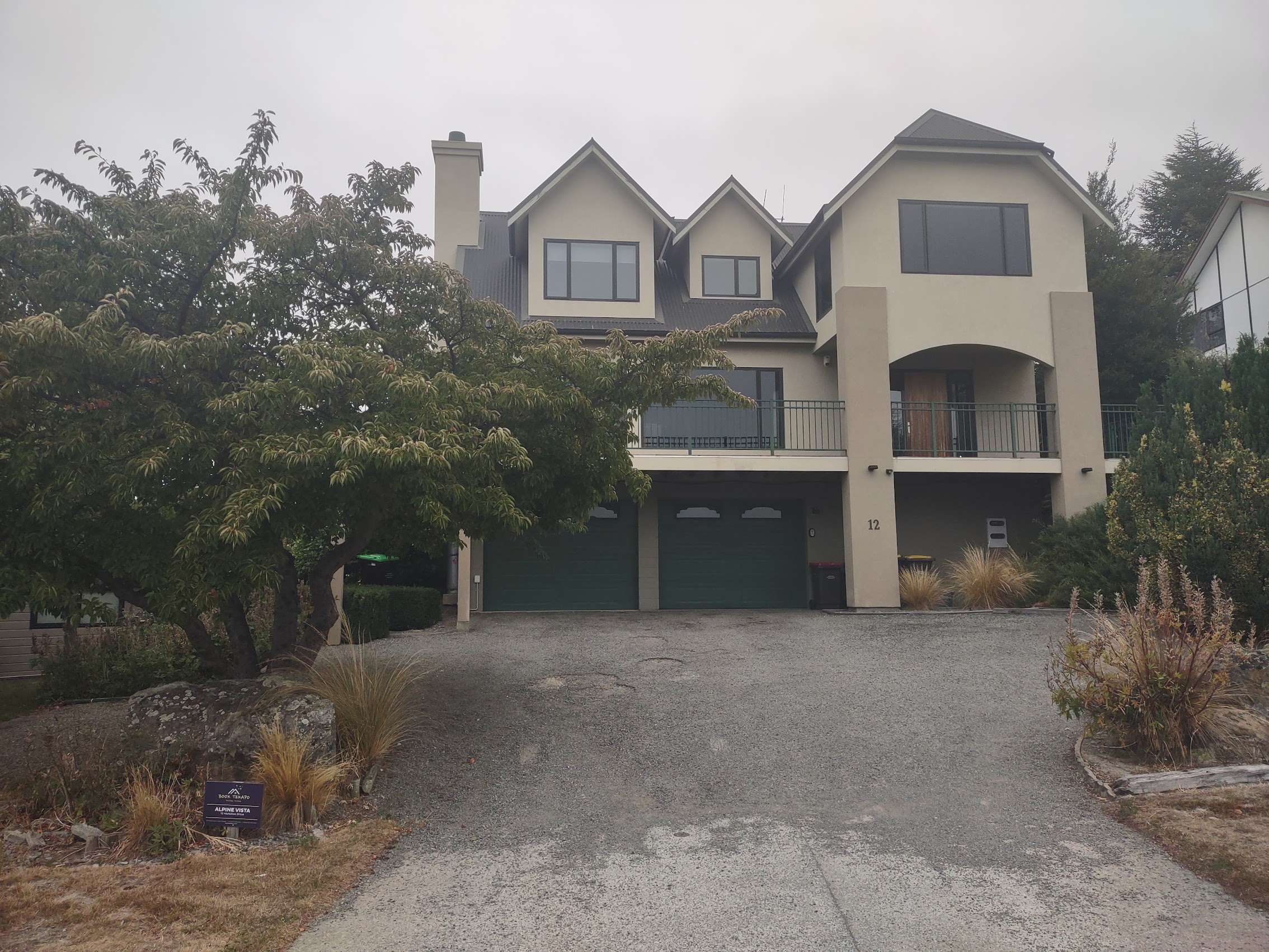
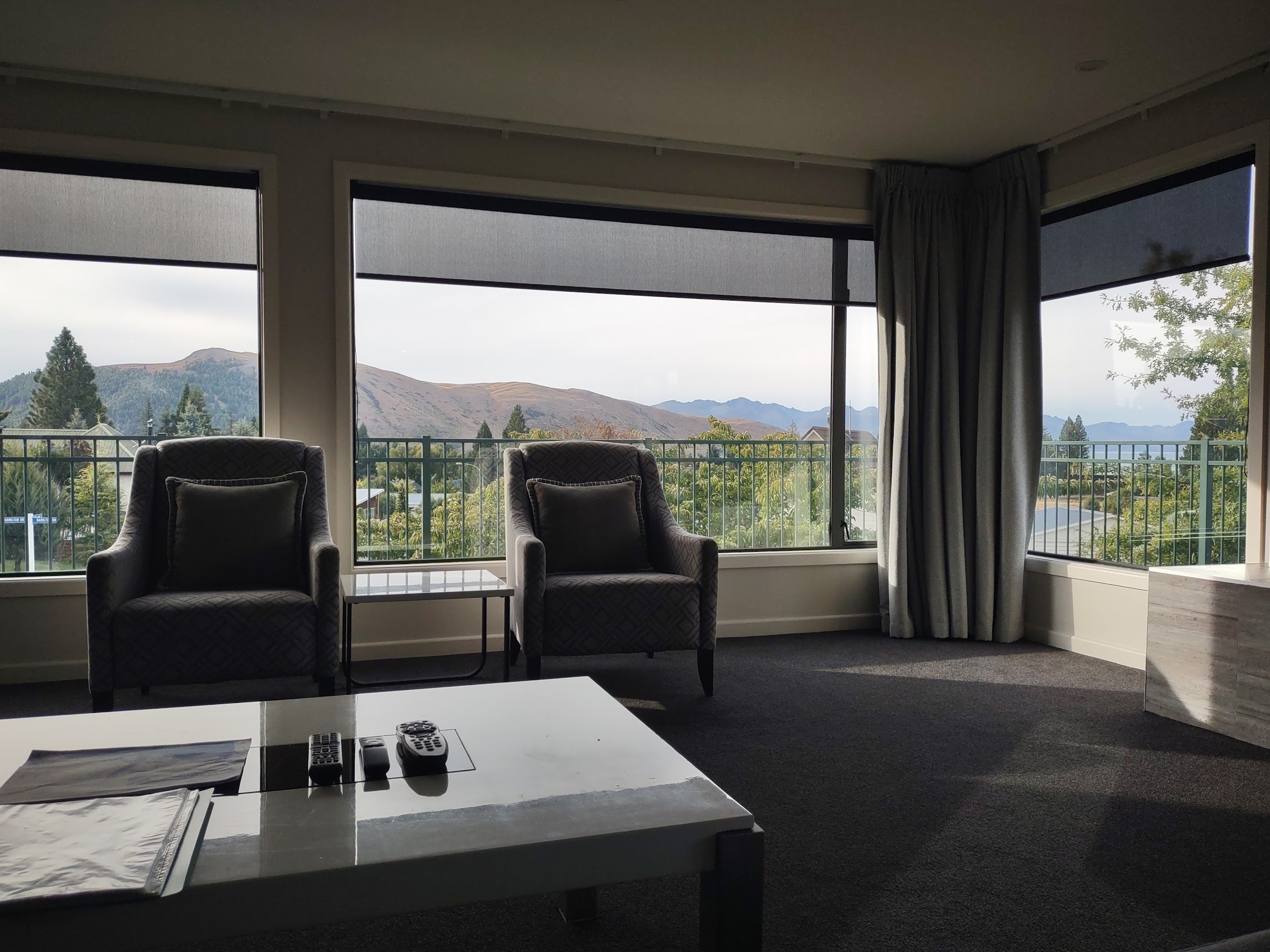
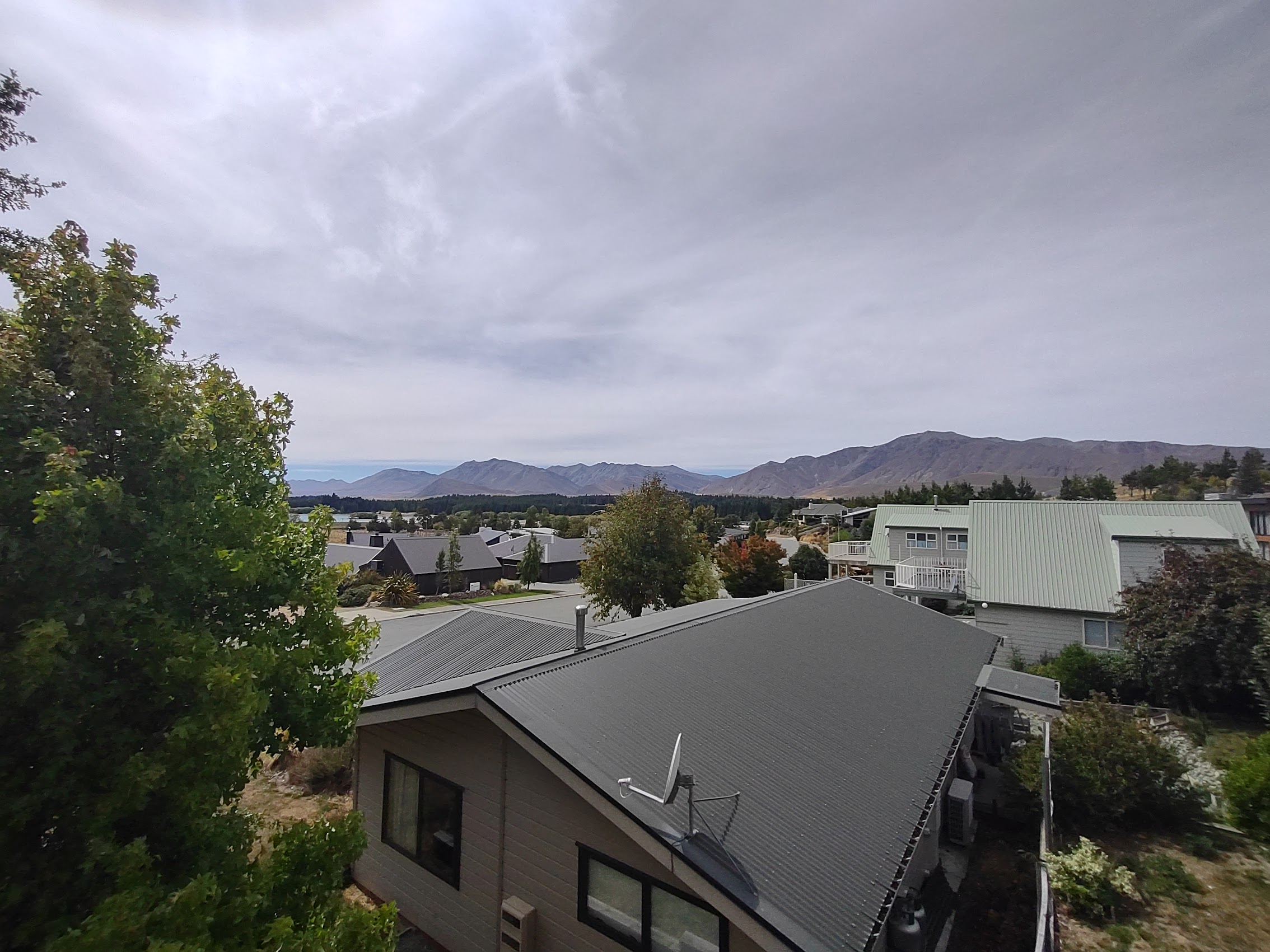
It was fairly cloudy when we arrived at Lake Tekapo, as it had been all morning, but there were patches of blue skies in the distance so we kept our hopes up. (Although I have to say that it was beginning to feel a lot like trying to see the Northern Lights!) Our stay in Lake Tekapo was a nice modern 4-bedroom house (too big, but choices in the area were pretty limited) with a nice private rear deck and incredible views of the lake and surrounding mountains.

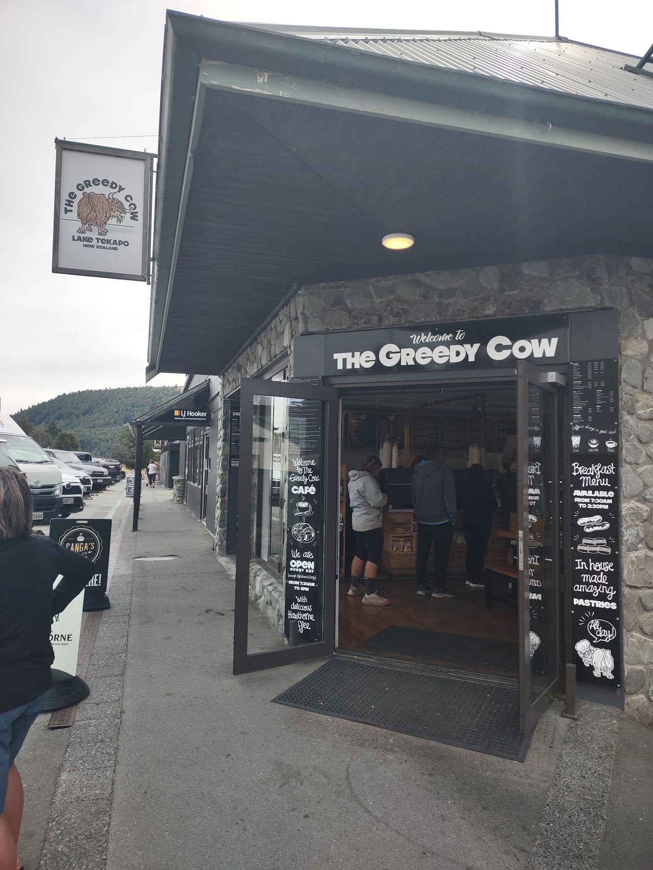
After some quick unloading and unpacking, we took a run into the village which had a surprisingly large and fairly modern shopping center which was pretty crowded with other tourists and backpackers. We grabbed some lunch at a place called the Greedy Cow after which Colleen and Wendy went grocery shopping while Denny and I visited an outdoors store for a couple of items. (Denny was looking for outerwear and I needed some new socks.)

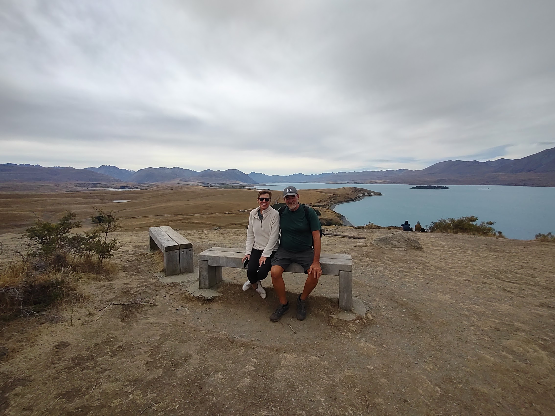
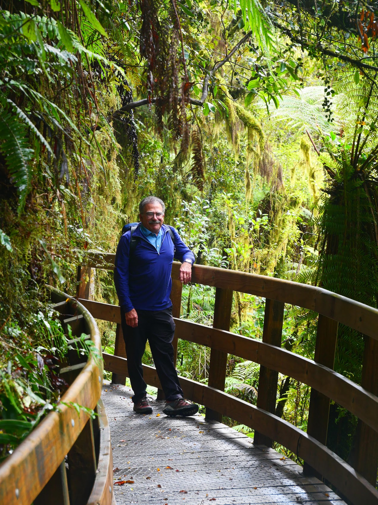
The Hike from Hell
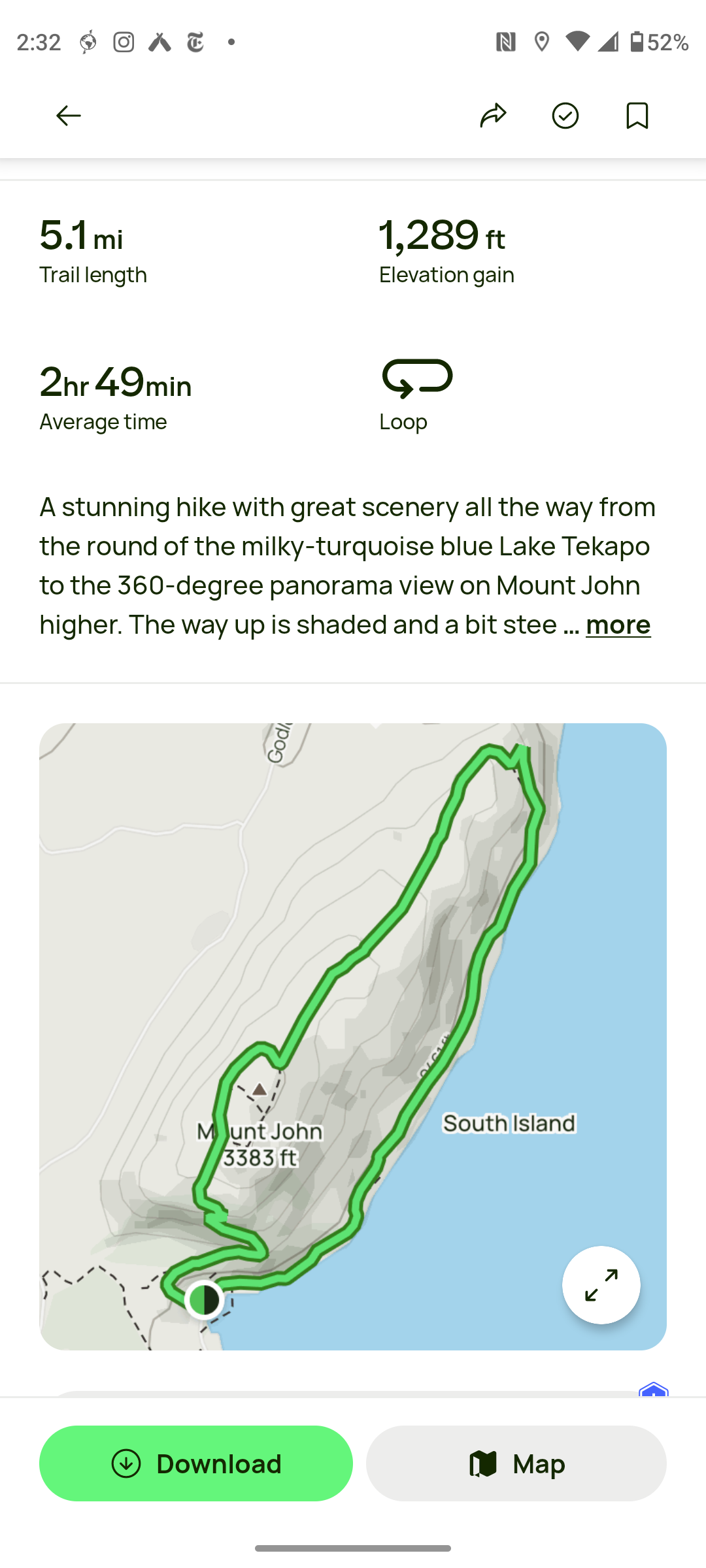
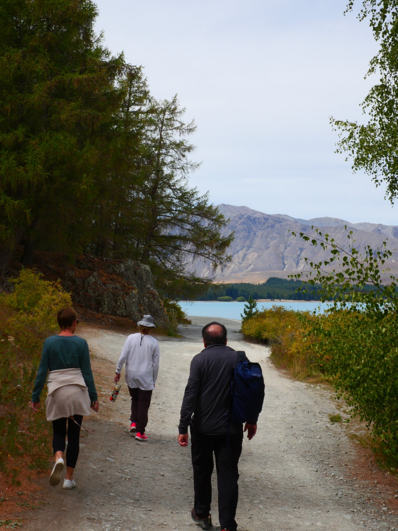
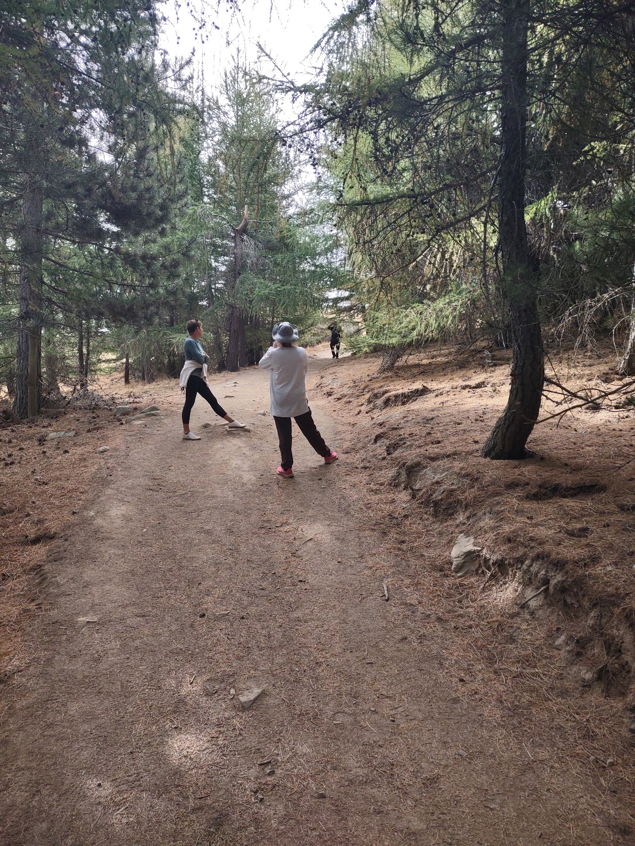
We returned home and unpacked our groceries and, having a few hours of daylight left, decided to take a hike. I found what appeared to be a nice 5 mile hike on the All Trails app with a Moderate difficulty rating which followed the west bank of Lake Tekapo before climbing the ridge behind to the Mount John Observatory at its top where we were certain there would be some good views. Everyone seemed fine with the distance (about 5 miles) and the elevation gain of 1,289 feet did not seem too daunting. (Hey, it was rated as Moderate, right?)
The walk along the lake was very nice with wonderful views of the lake and the mountains beyond. The trail was pretty flat at this point and everyone seemed to be having a wonderful time.

As we turned up the ridge near the end of the peninsula, the views got better and better (as the path got steeper). As we reached what I estimated to be the mid-point of the hike, we considered going back the way we had come, but decided to persevere as we thought the top of the ride couldn’t be much further. Unfortunately, it turned out to be the classic scenario that every time we got to the top of what we thought was the last rise another one came into view.
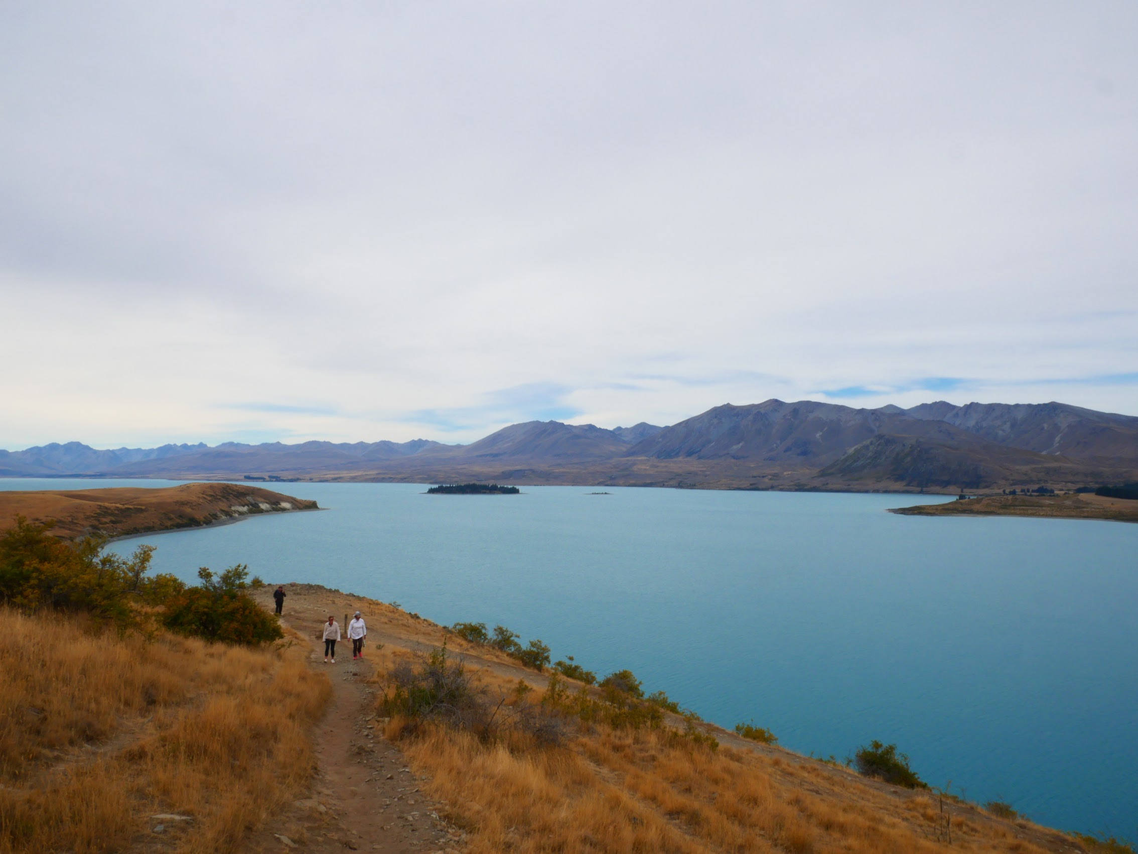
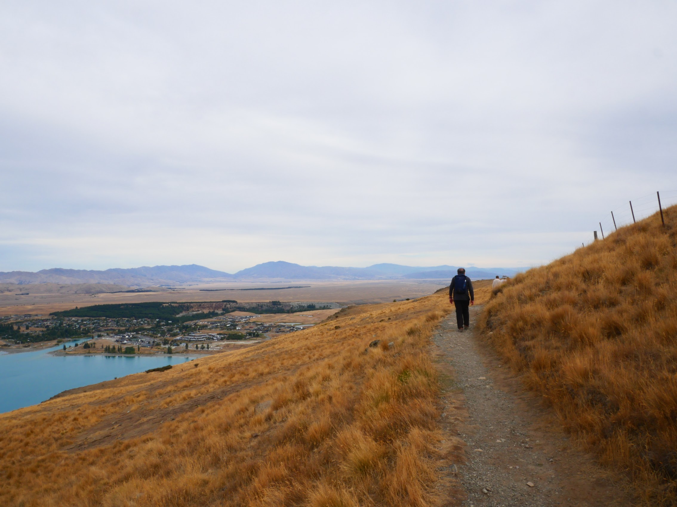
As we continued our ascent to the ever evasive crest of the ridge there was mutinous talk amongst our hikers and questions regarding my choice for the day’s hike. In fairness, it wasn’t the distance but the elevation change which people weren’t used to. (After the fact I looked at the topography and determined that we had climbed most of the 1,289 feet of rise during the middle third of the hike equating to a couple of miles of grades averaging 10%, not sure how that could be considered Moderate!).
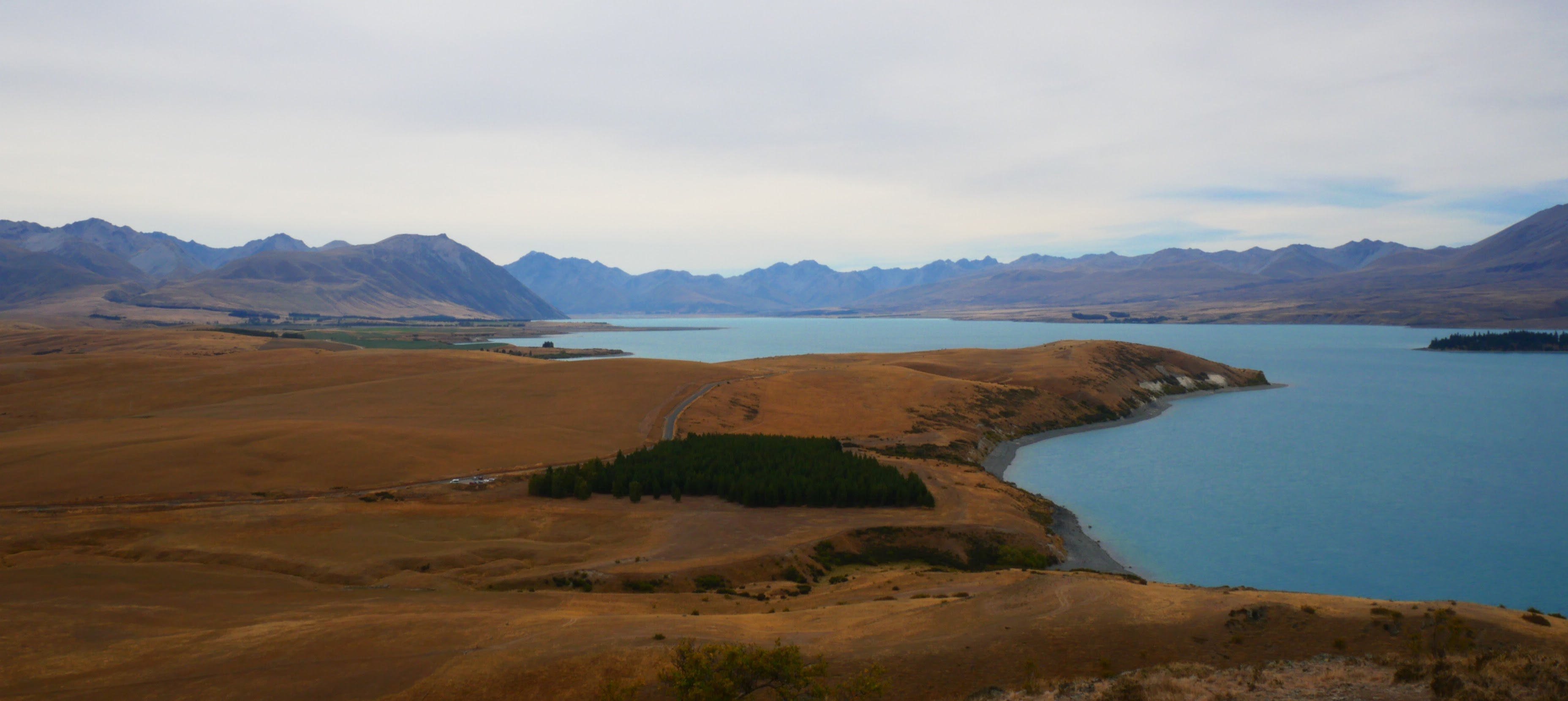
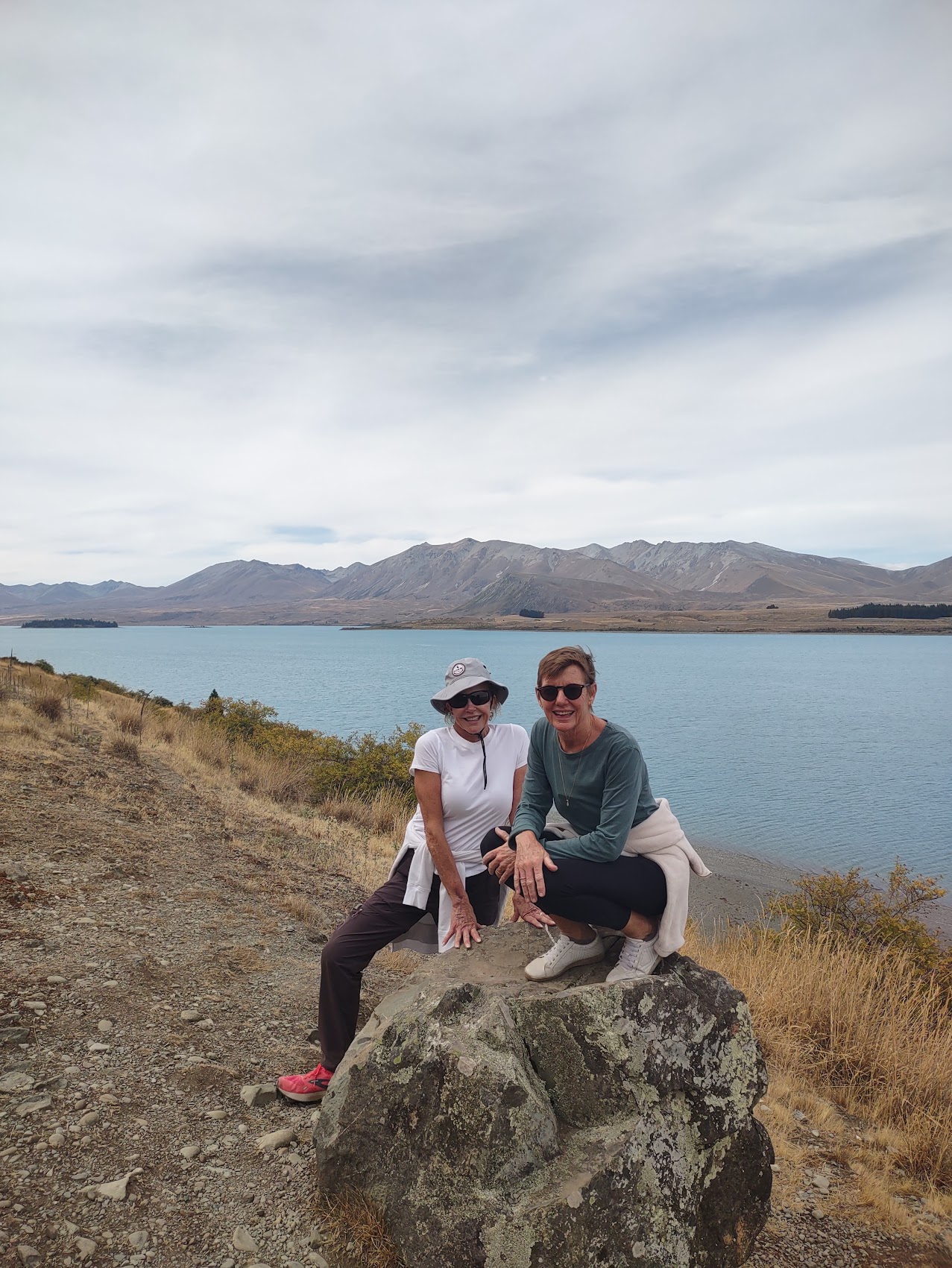
But the views were spectacular and the color of the lake, which is caused by minerals washed into it from the surrounding mountains was pretty surreal. After a brief discussion regarding whether or not we should call an Uber (there are none in Tekapo) we began the descent down what turned out to be the steep side of the ridge. Predicatably, the hike down was much shorter and much quicker than our ascent though some of us (me in particular, with a bad knee) found going down the very steep trail more challenging than the climb up.
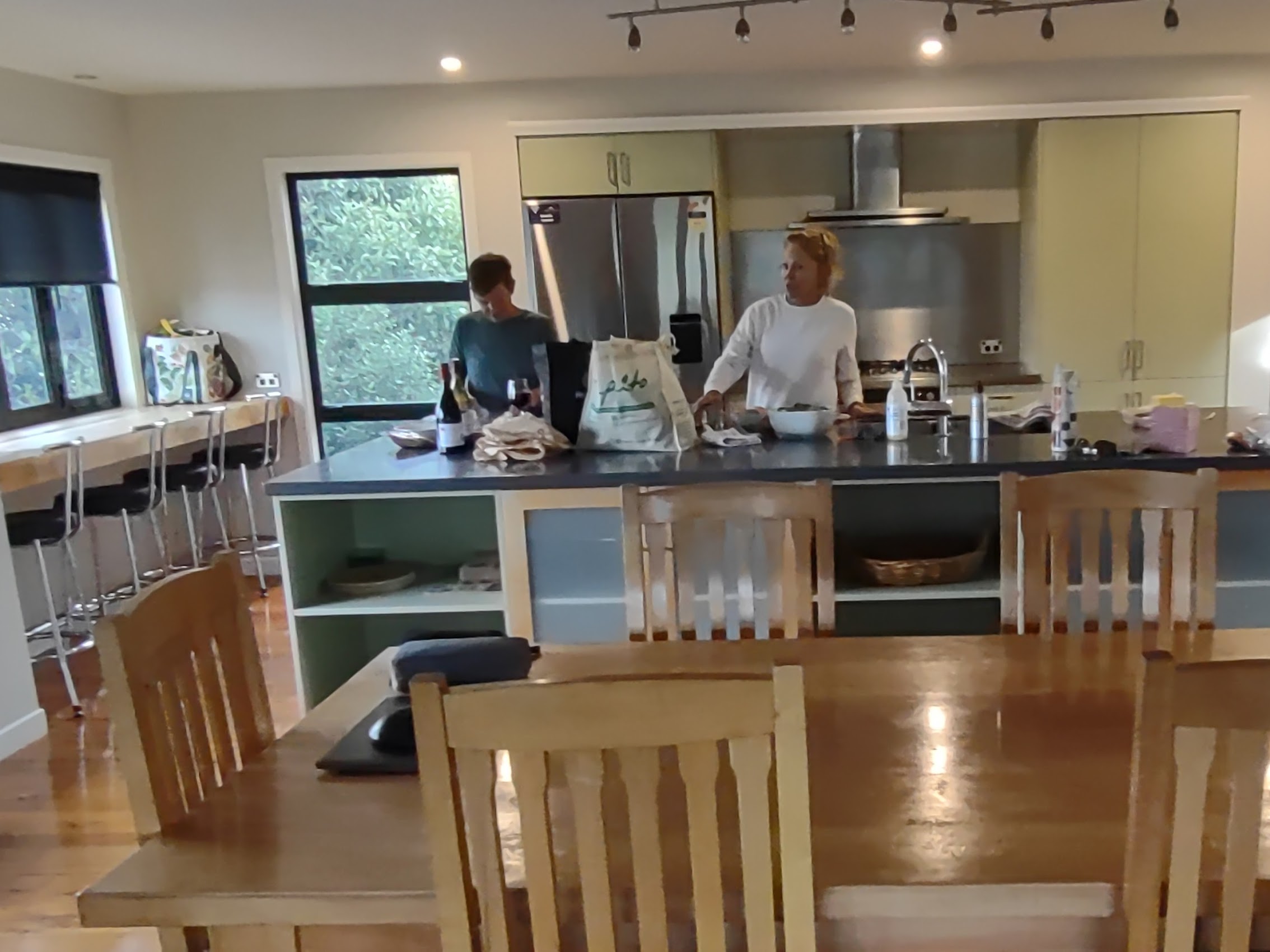
We returned to our place and had our first home-cooked meal together. Colleen and Wendy worked to make this first one a good one (which they did) featuring grilled steaks and lamb chops (Denny’s favorite) and plenty of good wine (everyone’s favorite).
Unfortunately, the cloud cover had moved in pretty quickly in the evening and the prospect of a star show was looking highly unlikely. In any case, we were all pretty sore and exhausted from the day’s hike and happy to turn in early.
Church of the Good Shephard
Before getting back on the road the next morning, we stopped to visit a famous site in Lake Tekapo, the Church of the Good Shephard which was constructed in 1931. Although not that old, the Church of the Good Shephard is listed on the New Zealand Heritage Register and is apparently the most photographed item in the entirety of New Zealand. The church is very small but quite beautiful and, largely due to its location, incredibly photogenic.

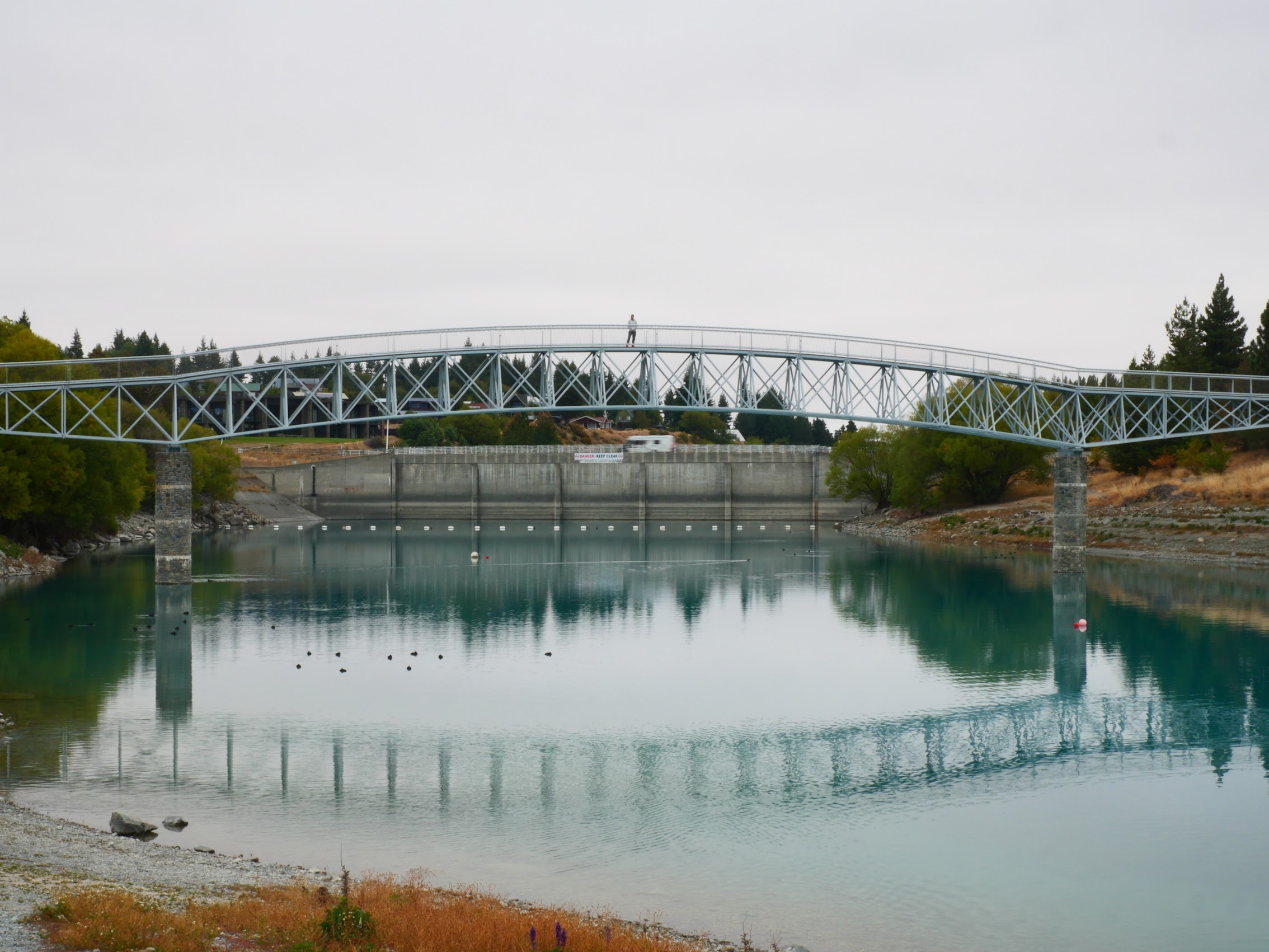
After seeing the church, we wandered a bit along the banks of the adjoining Tekapo river which runs through the center of the village and has an interesting pedestrian bridge which spans it and joins the two side of the village.
Mt. Cook/Aoraki
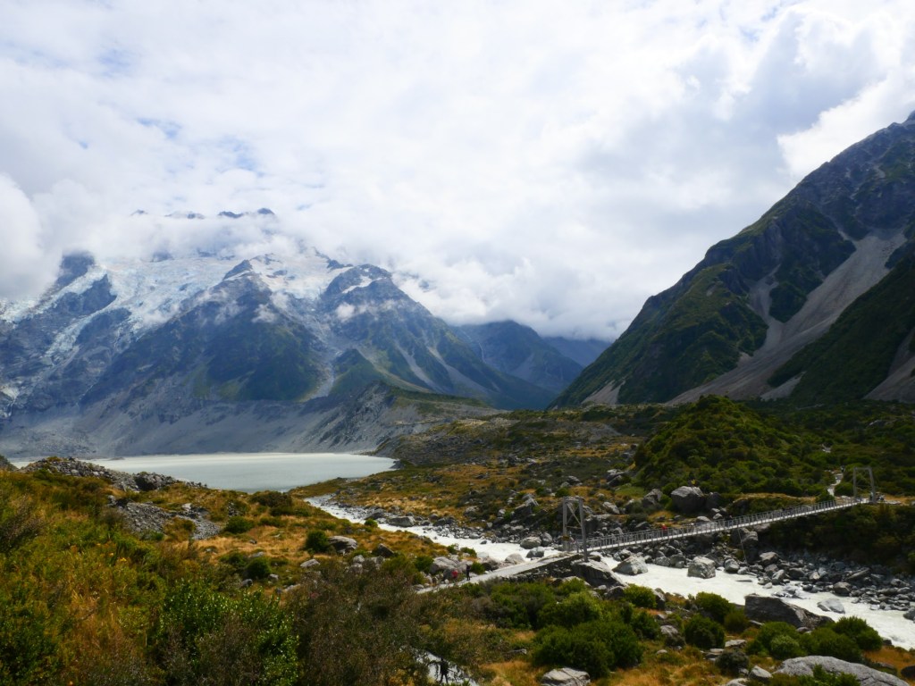
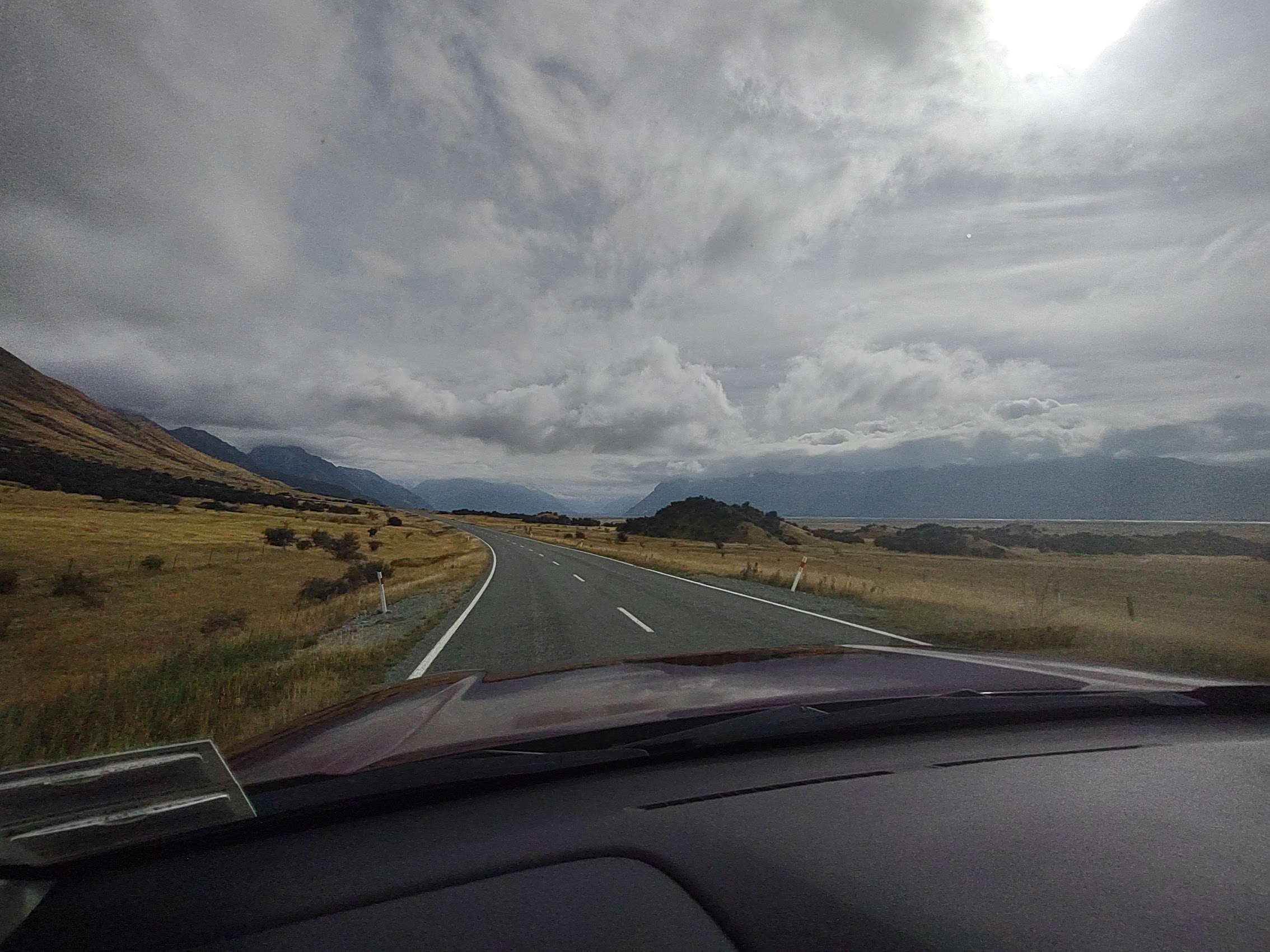
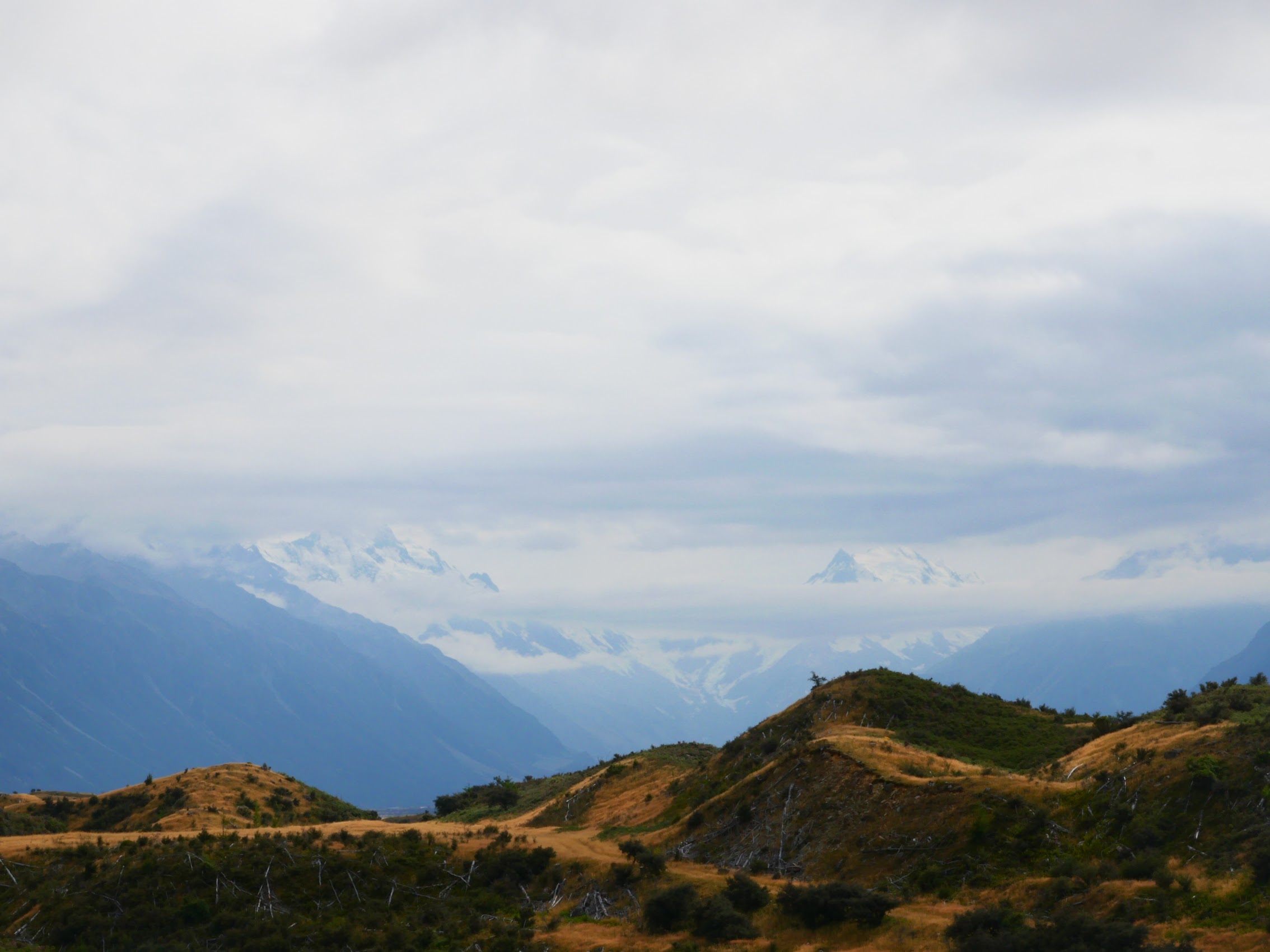
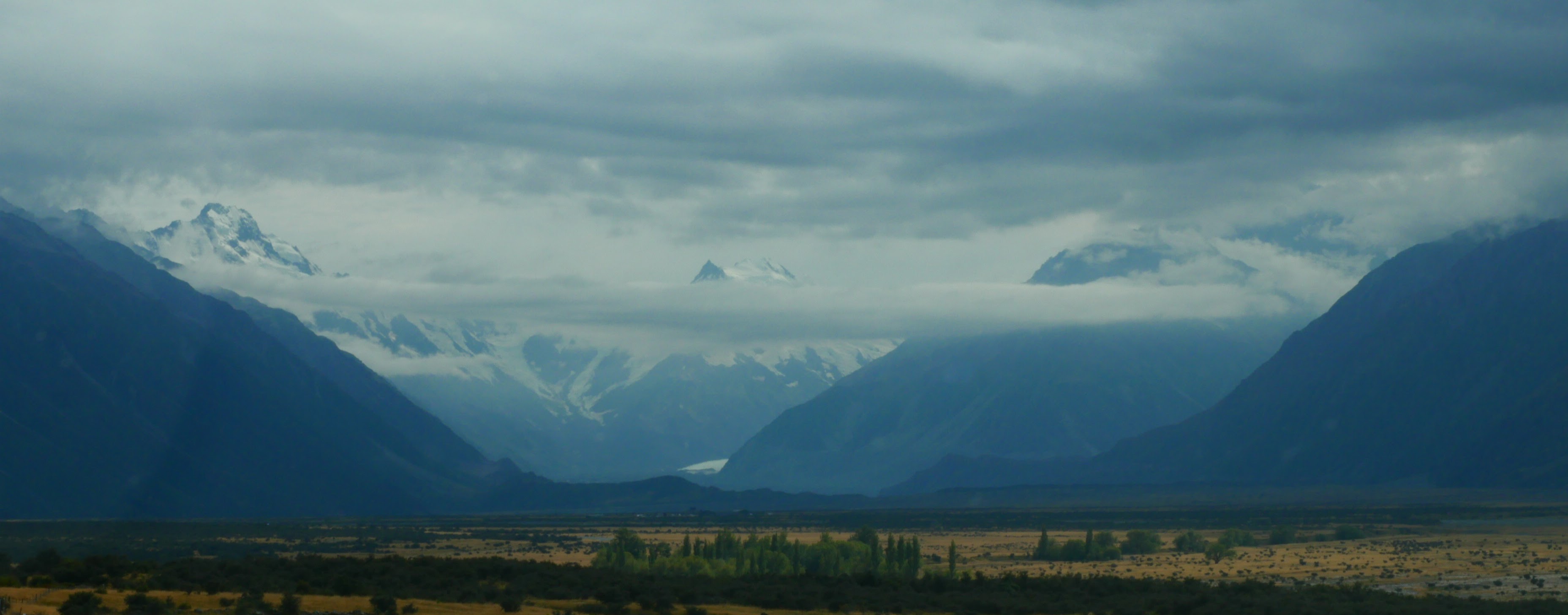
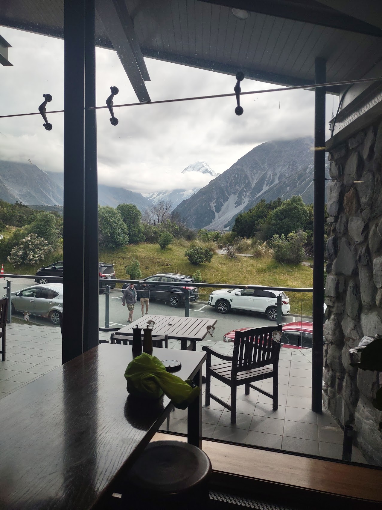
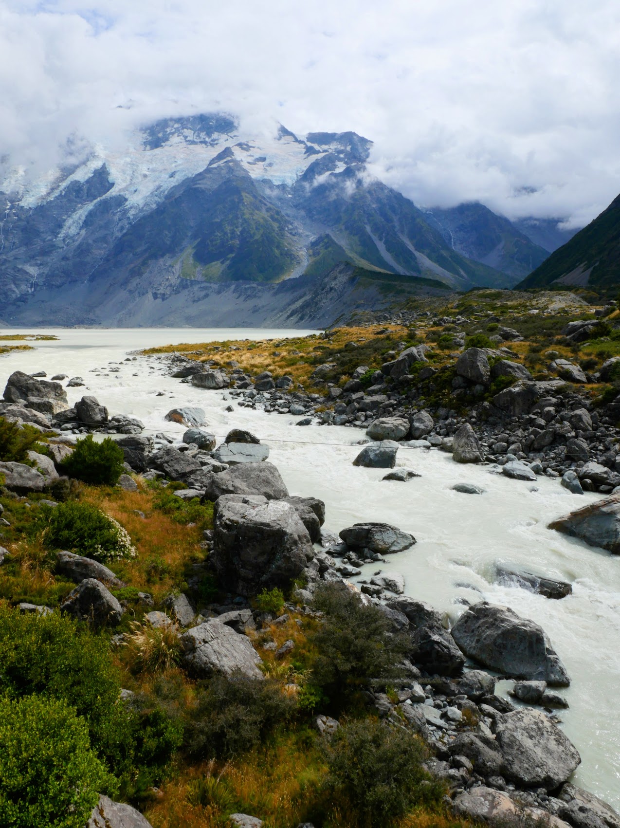
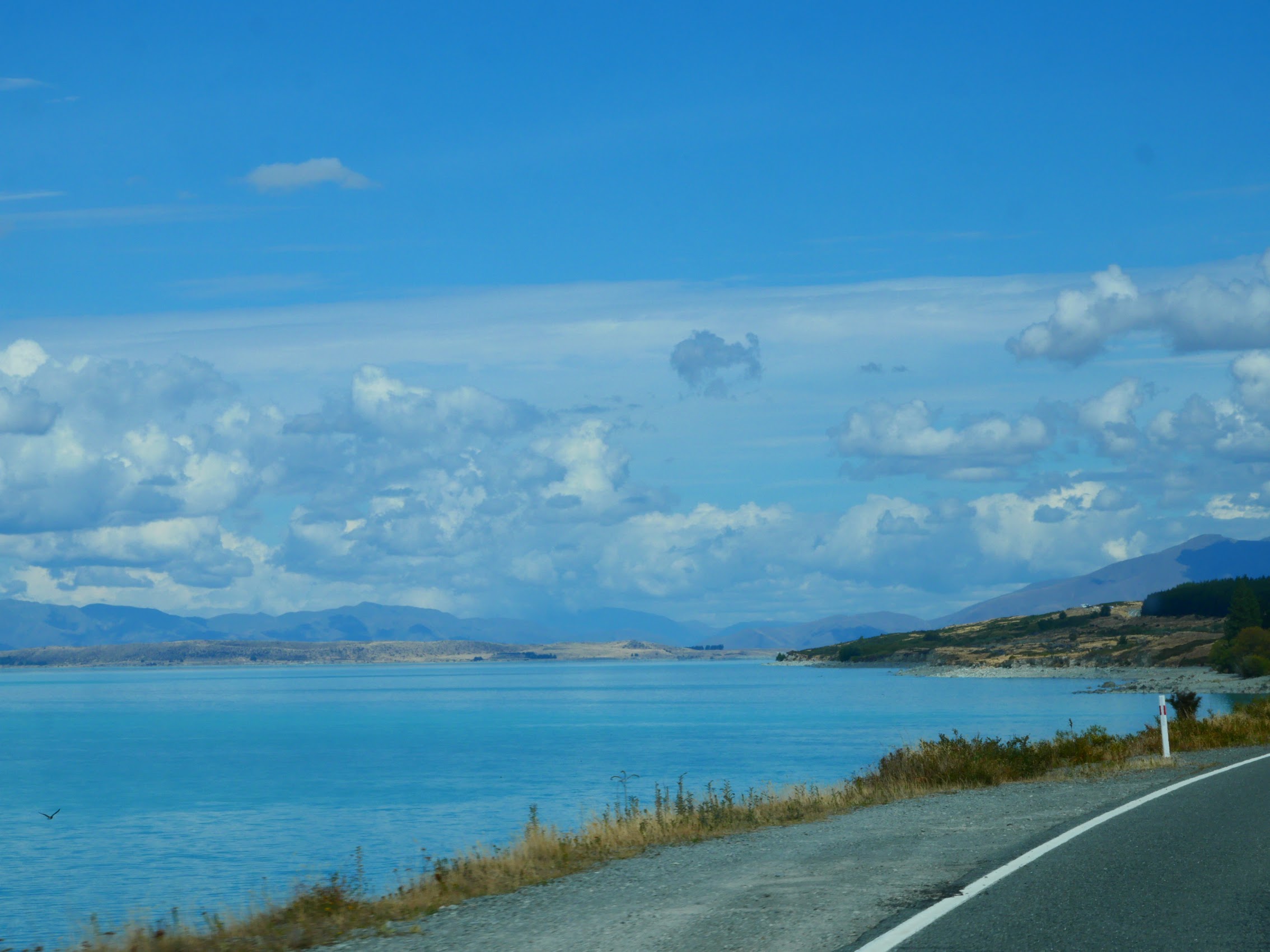
Although our final destination for the day was the town of Queenstown, we had one noteworthy stop planned along the way. And so we departed Lake Tekapo and headed south, then north along the west bank of Lake Pukaki (😊). After a little over an hour of views and scenery which kept getting better, we arrived at our destination, Aoraki (aka Mount Cook) which, at 12,218 feet, is the tallest peak in New Zealand’s Southern Alps.

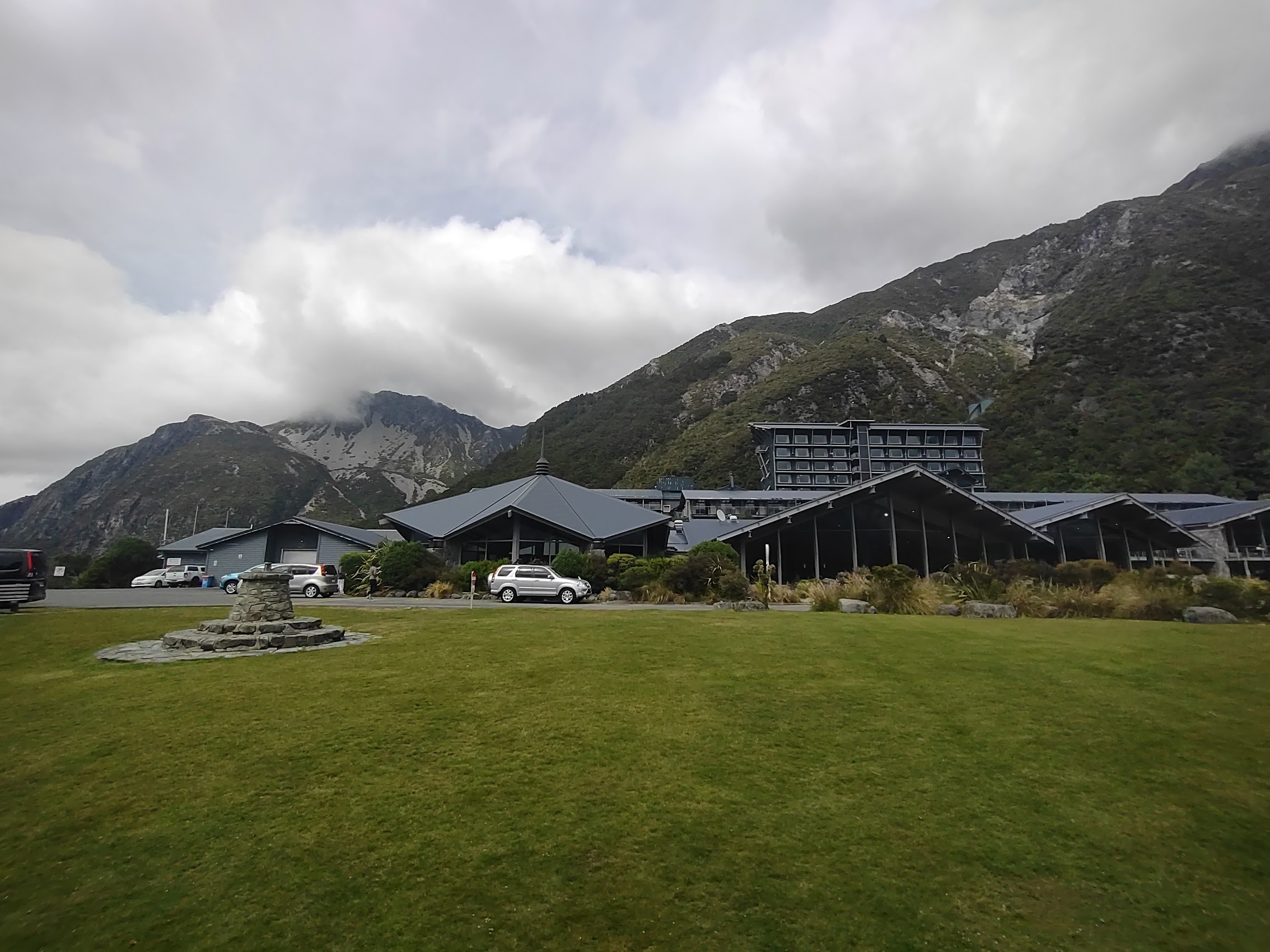
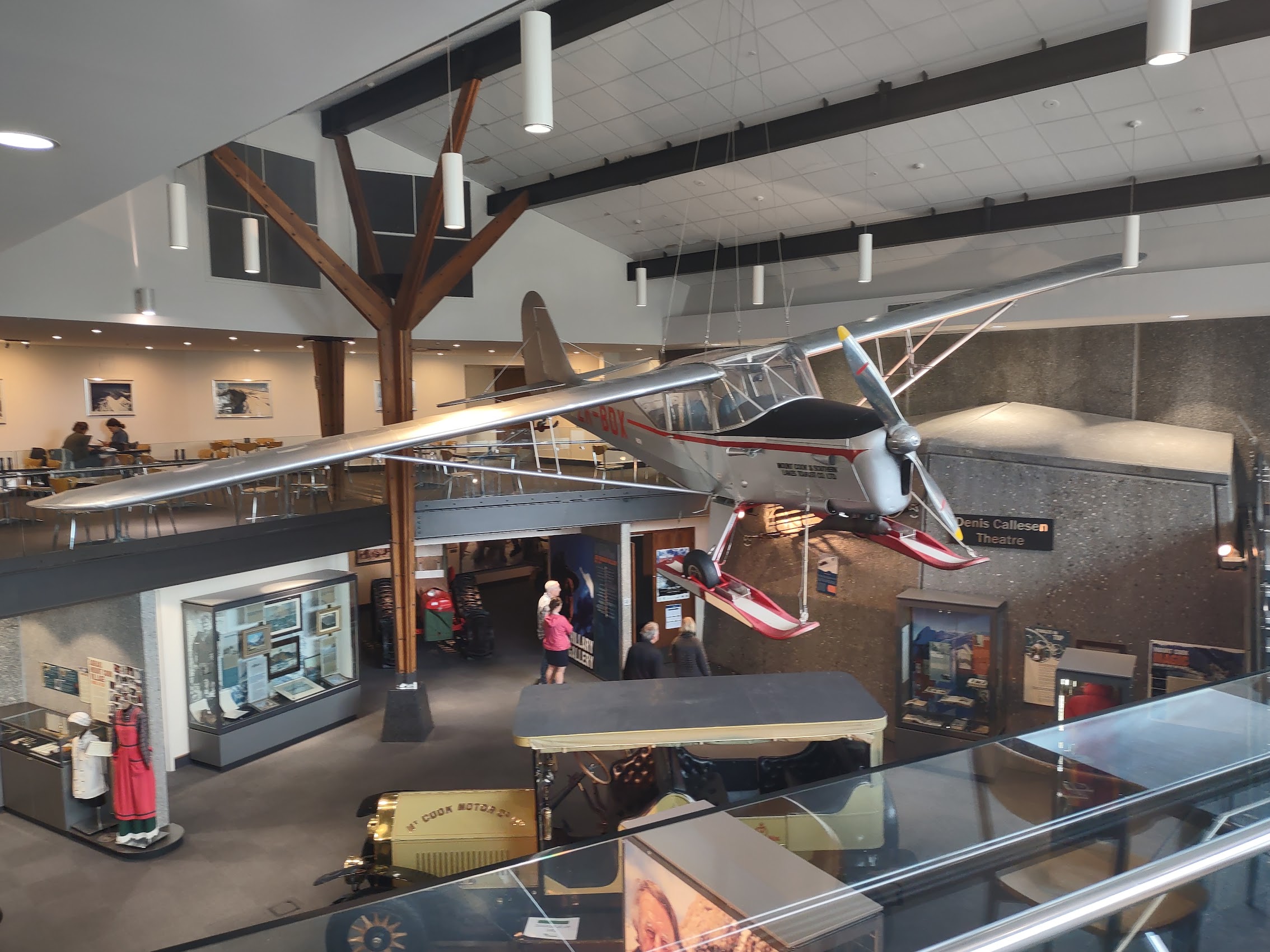
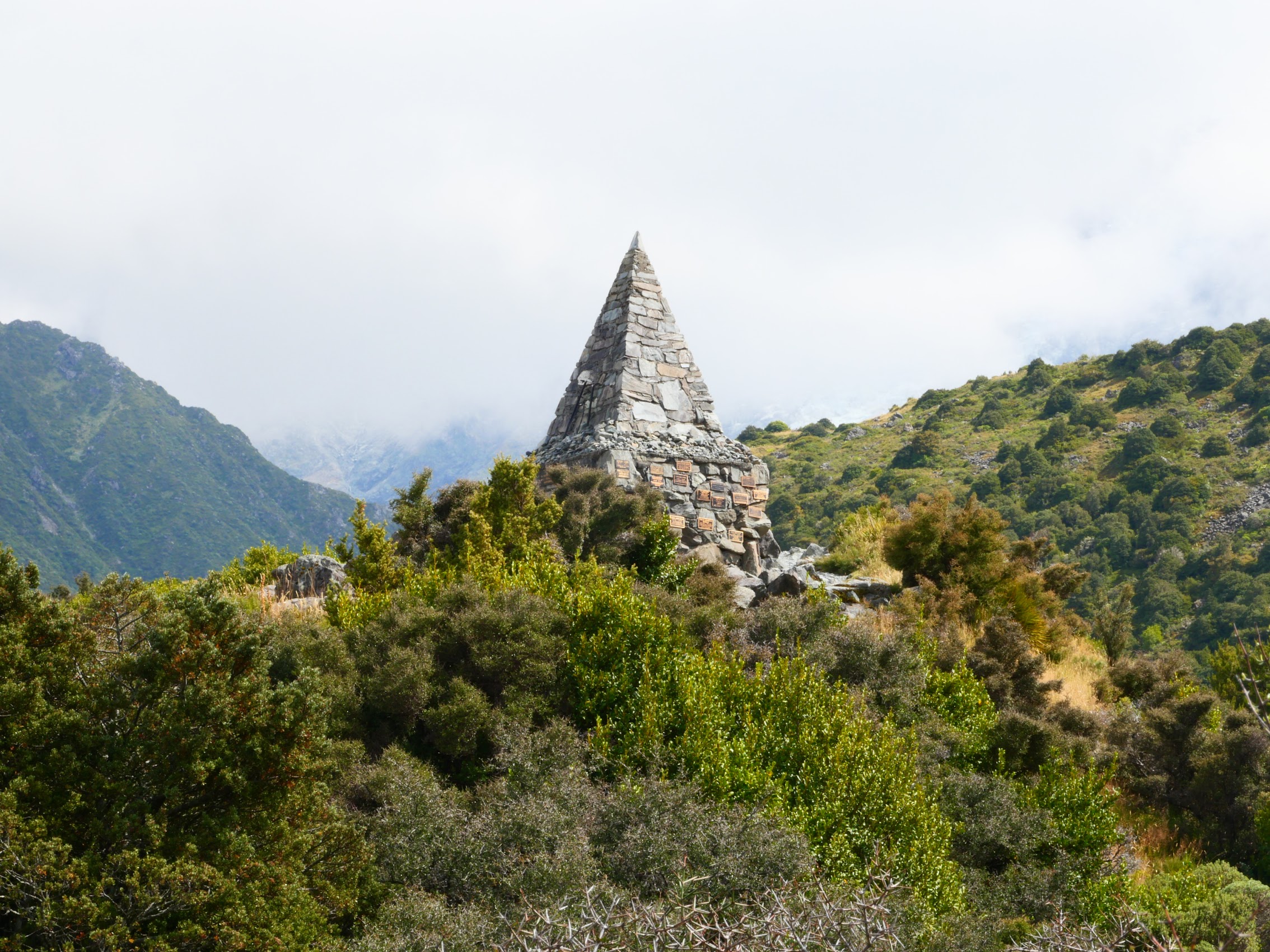
We started at the Sir Edmund Hillary Alpine Center which sits at the foot of the mountain along with a number of tourist accommodations and serves as the visitors center for Aoraki. After touring the Center’s free museum, which has some great exhibits related to the history of Aoraki (Hillary was not the first to climb to its summit, but he climbed it several times) we (believe it or not) went for another hike.


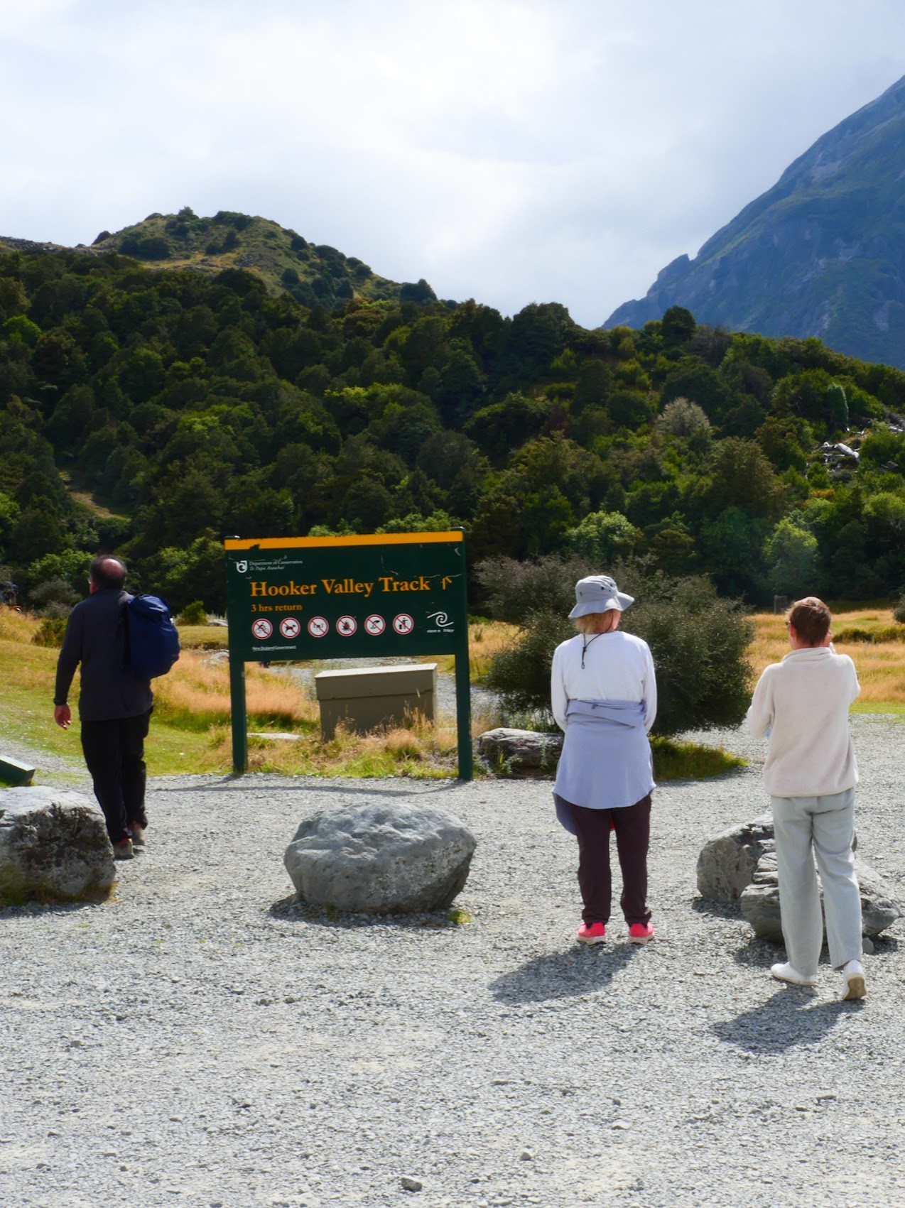
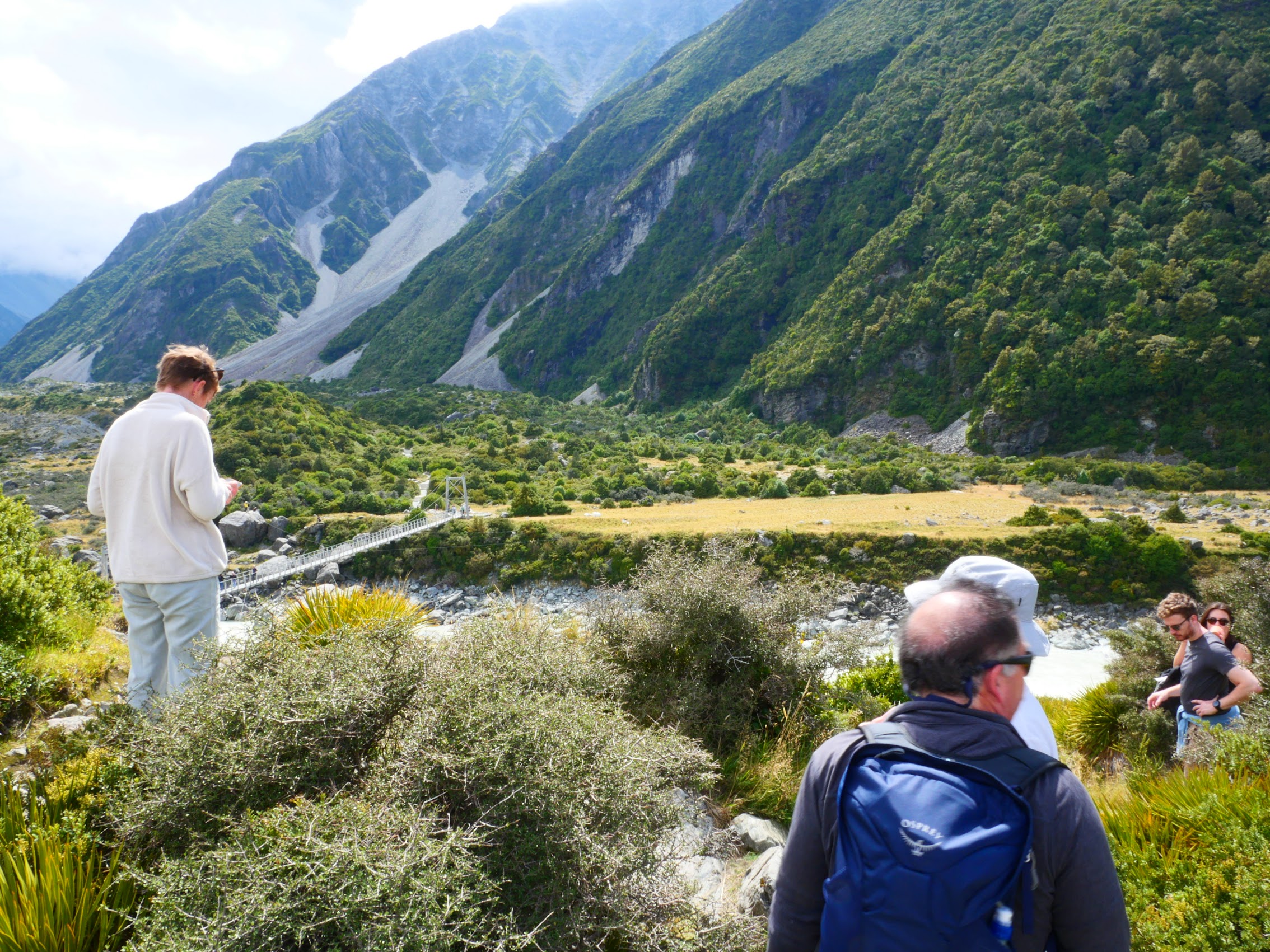
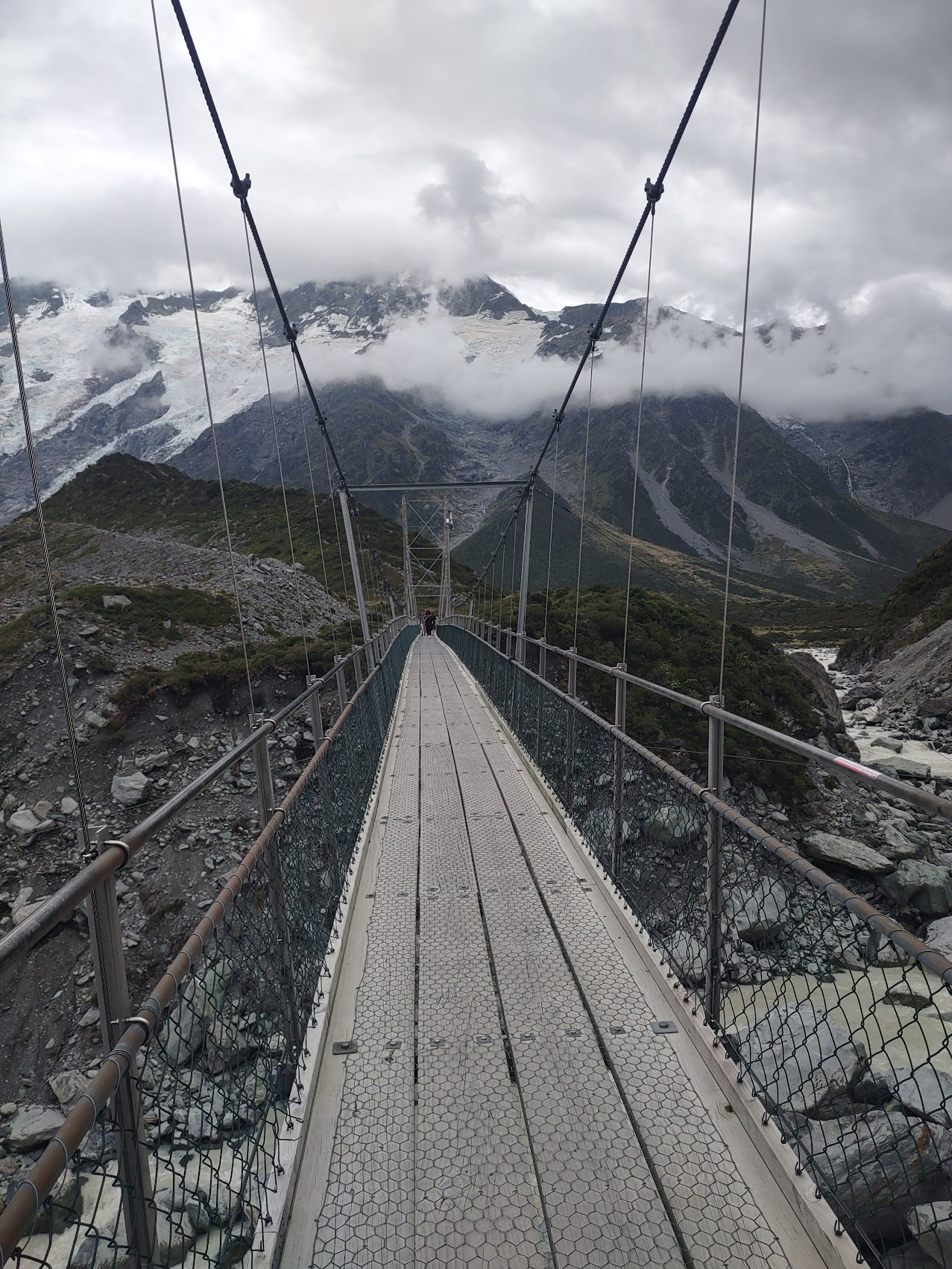
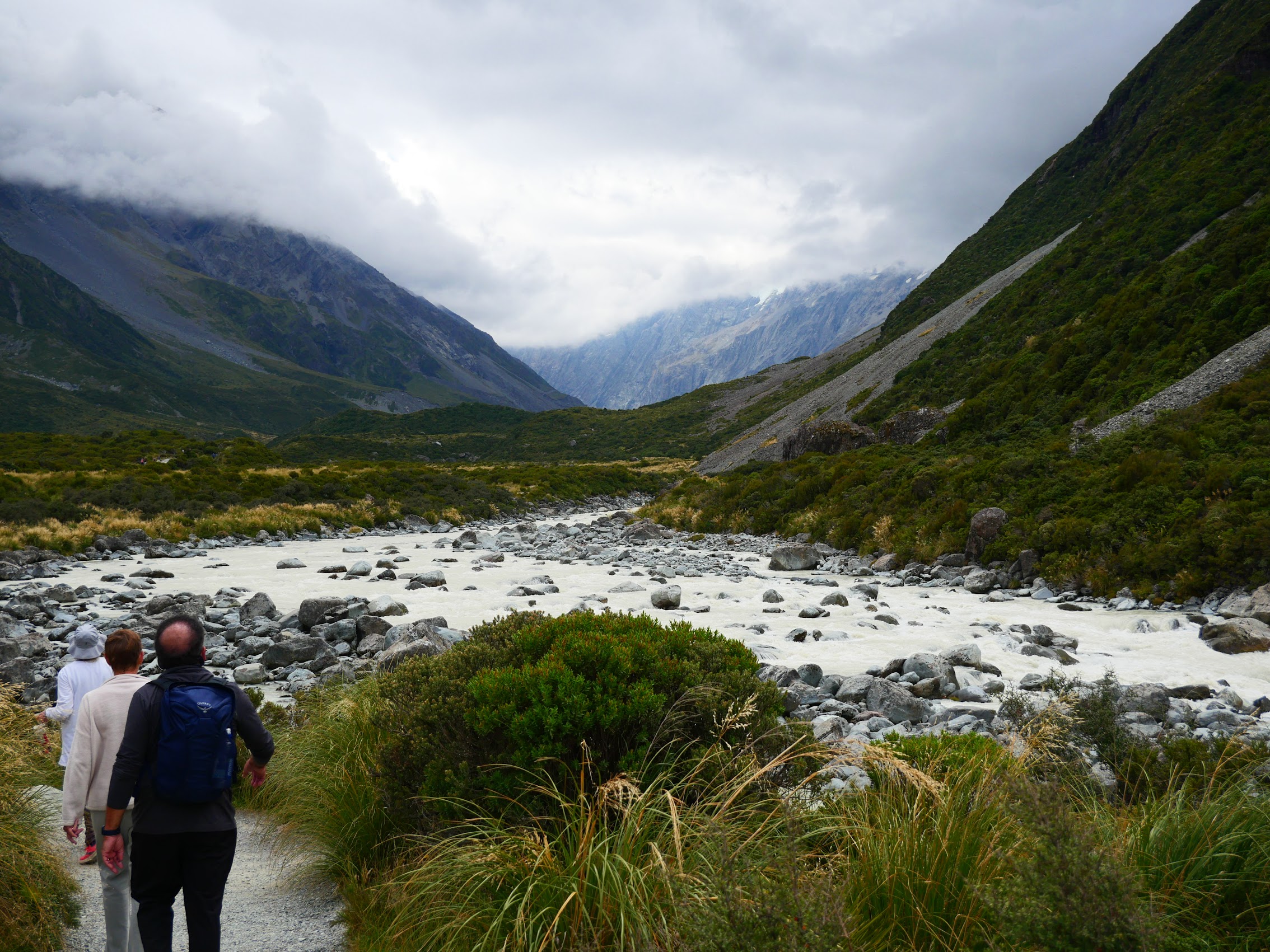
We decided to do the Hooker Valley Track which, although it also had an All Trails Moderate rating, only had 646 feet of elevation gain. Compared to the day before, the hike was a cake walk winding through the valley below Aoraki to Hooker Lake with three swinging bridges (not Colleen’s favorite part) and even more spectacular views. (I fear that I am going to be using the word “spectacular” quite a bit, but am a little at a loss for a better descriptor.)

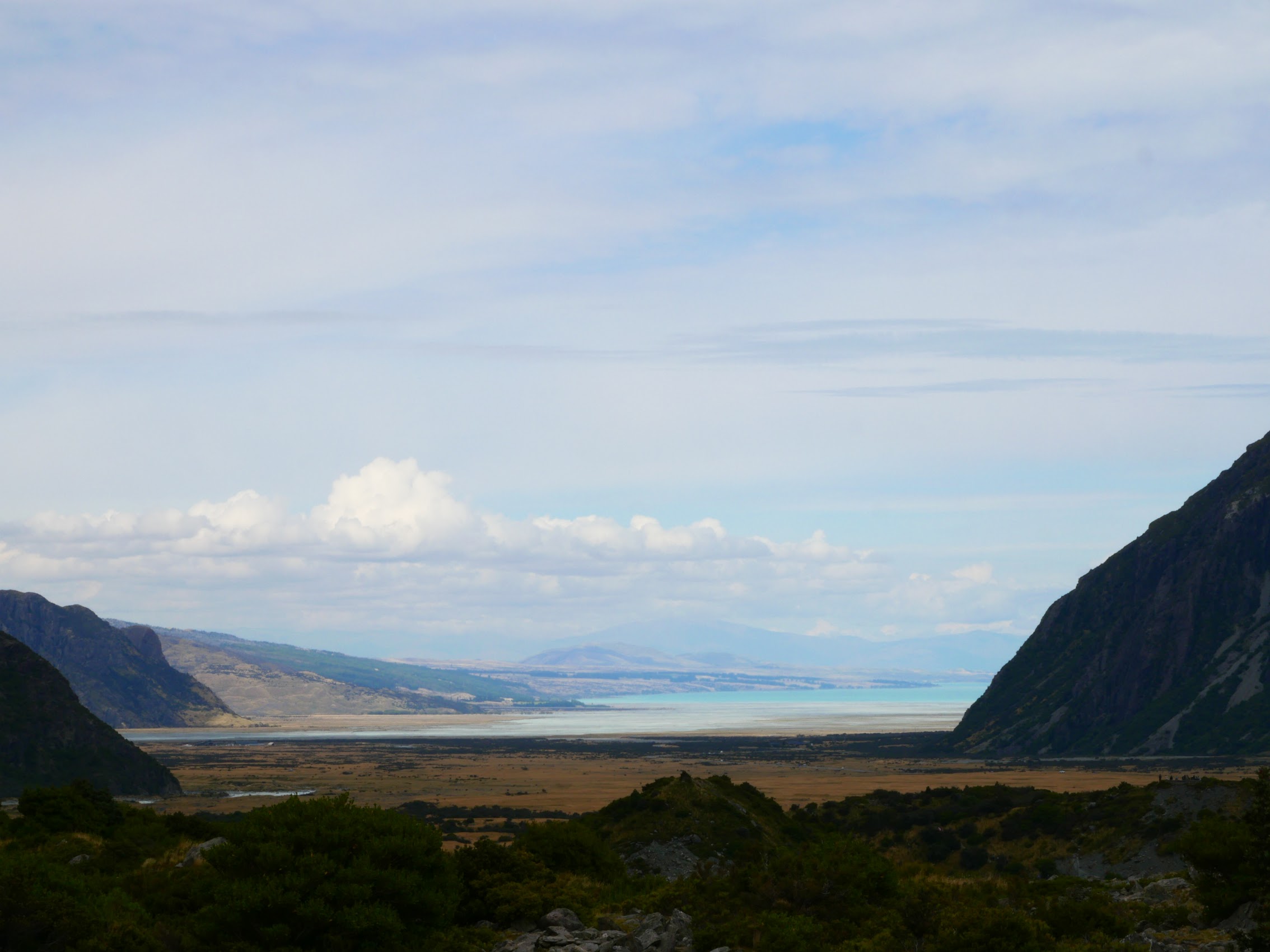
From Aoraki we drove south back along surreally blue Lake Pukaki (I just love that name!) then through the mountains with more (yes) spectacular scenery and views including a pretty amazing, almost horizontal, rainbow. (Had there been any doubt, we were beginning to fully understand how truly beautiful and (again) spectacular a place New Zealand really was!) After about 3 hours of driving the terrain became noticeably more rugged and we began to see a noticeable increase in traffic volume as we neared our final destination for the day, the town of Queenstown.


Queenstown
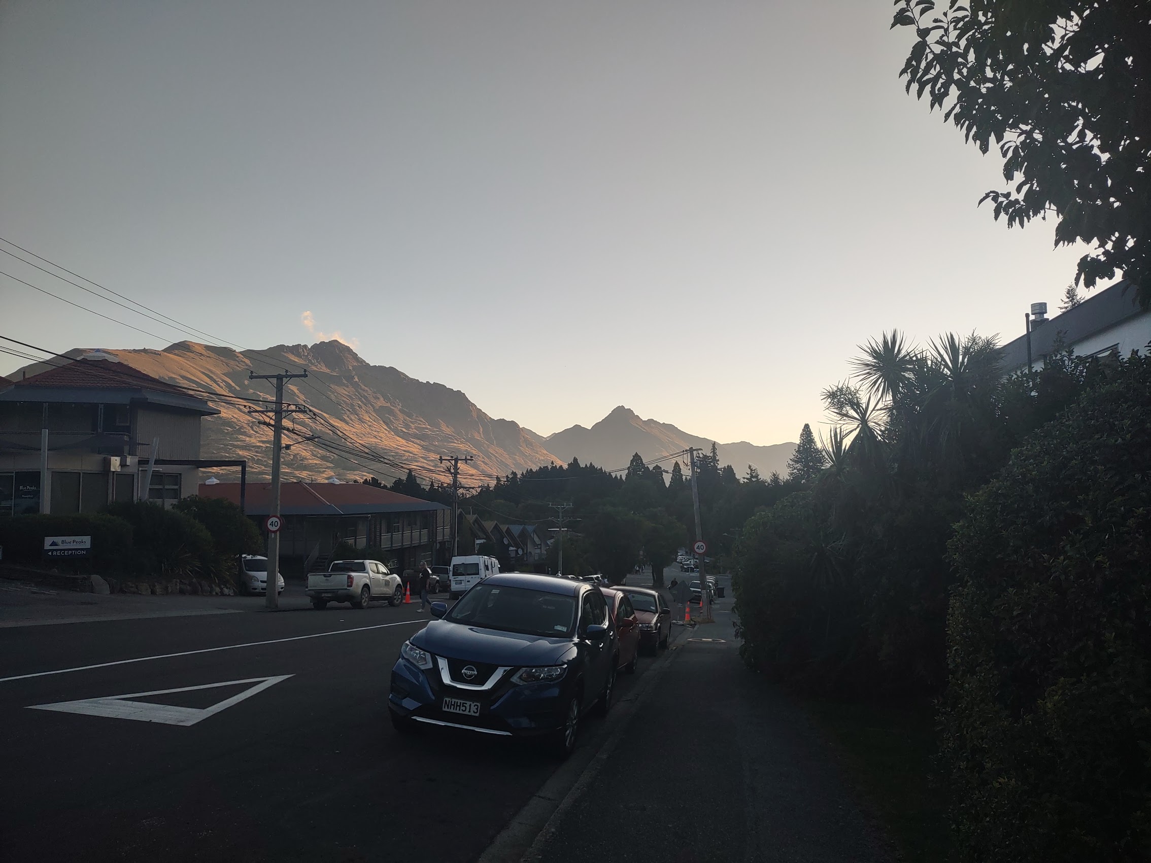
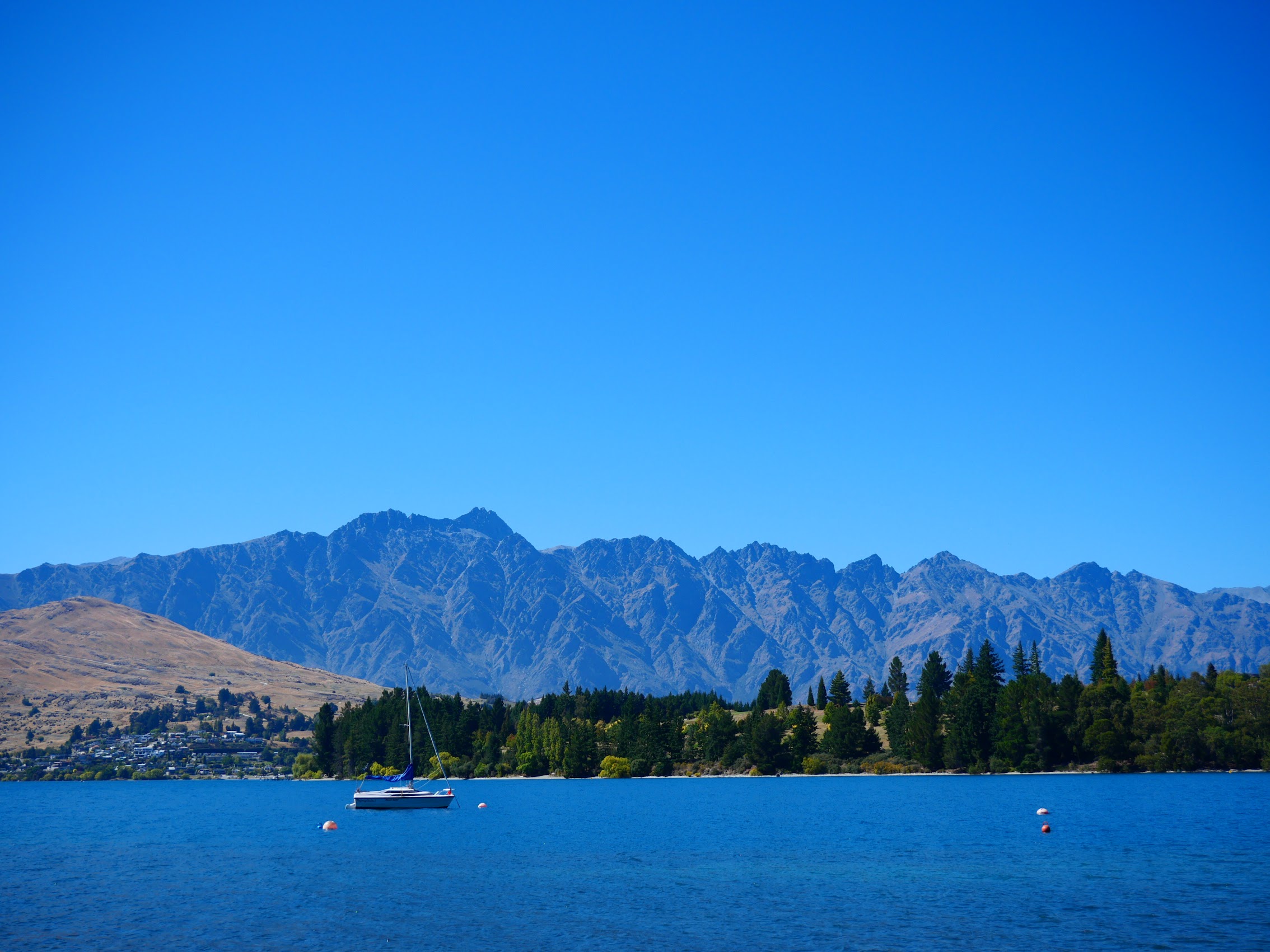
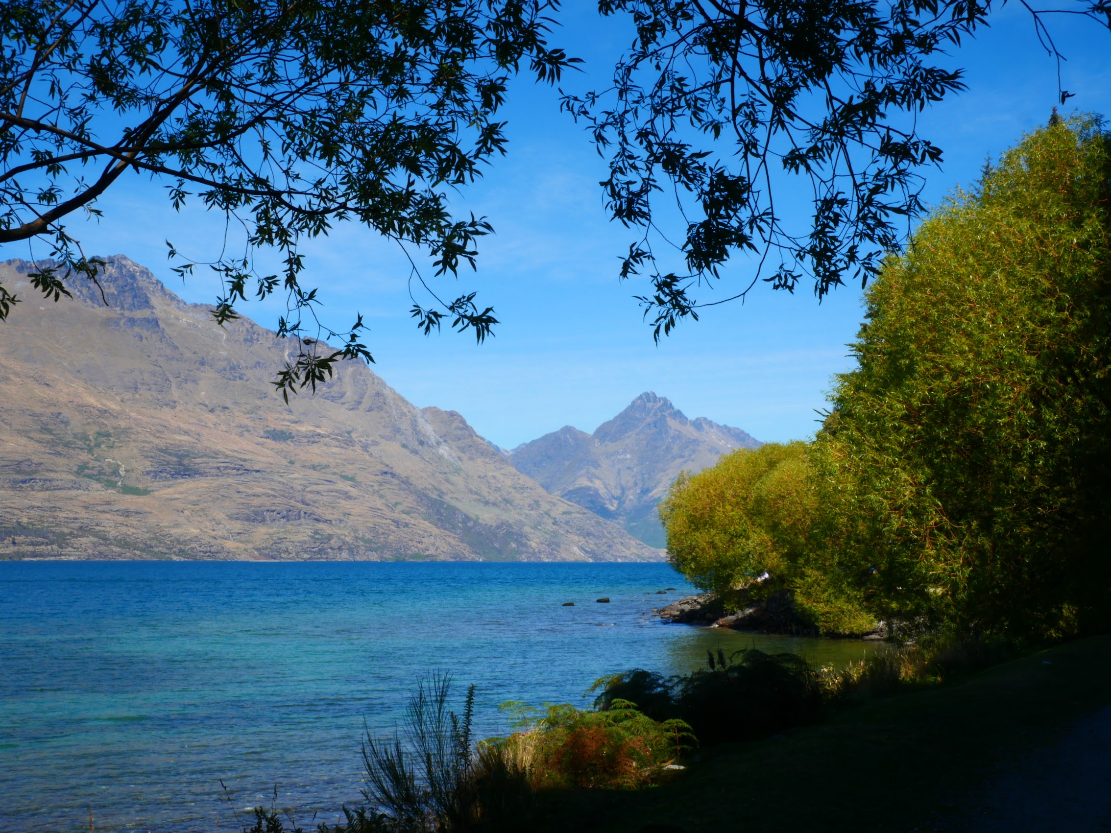
With an estimated population of about 30,000, Queenstown seemed like a metropolis compared to the last few towns and villages we had seen in New Zealand. Queenstown is located on Lake Wakatipu, a Z-shaped glacial lake which is New Zealand’s longest at 80 km/50 mi. It is one of the most popular and most visited places in New Zealand receiving something like 400,000 visitors every year. We were staying in Queenstown for three nights with a special excursion planned for our second day there.
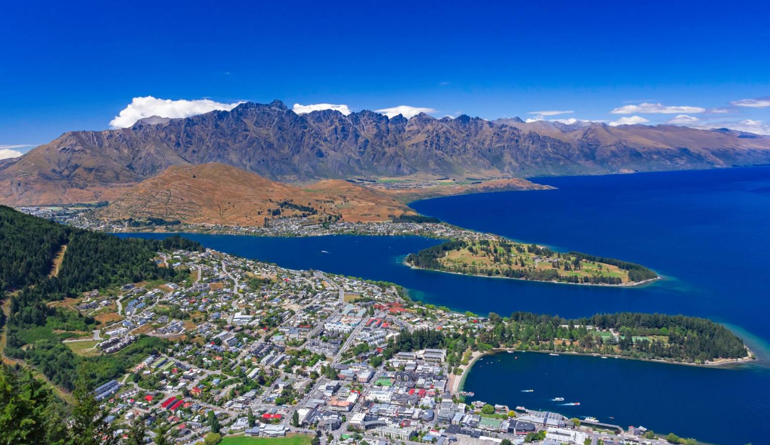
Finding an affordable place to stay in Queenstown had proved to be quite a challenge and it was one of those places where rentals came and went quickly. Nonetheless, we were able to book what looked to be a nice 3-bedroom 2-bath apartment on the first floor of a house which appeared to be pretty close to the city center (which turned out to be the case though we were near the top of a pretty steep hill).
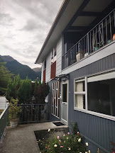
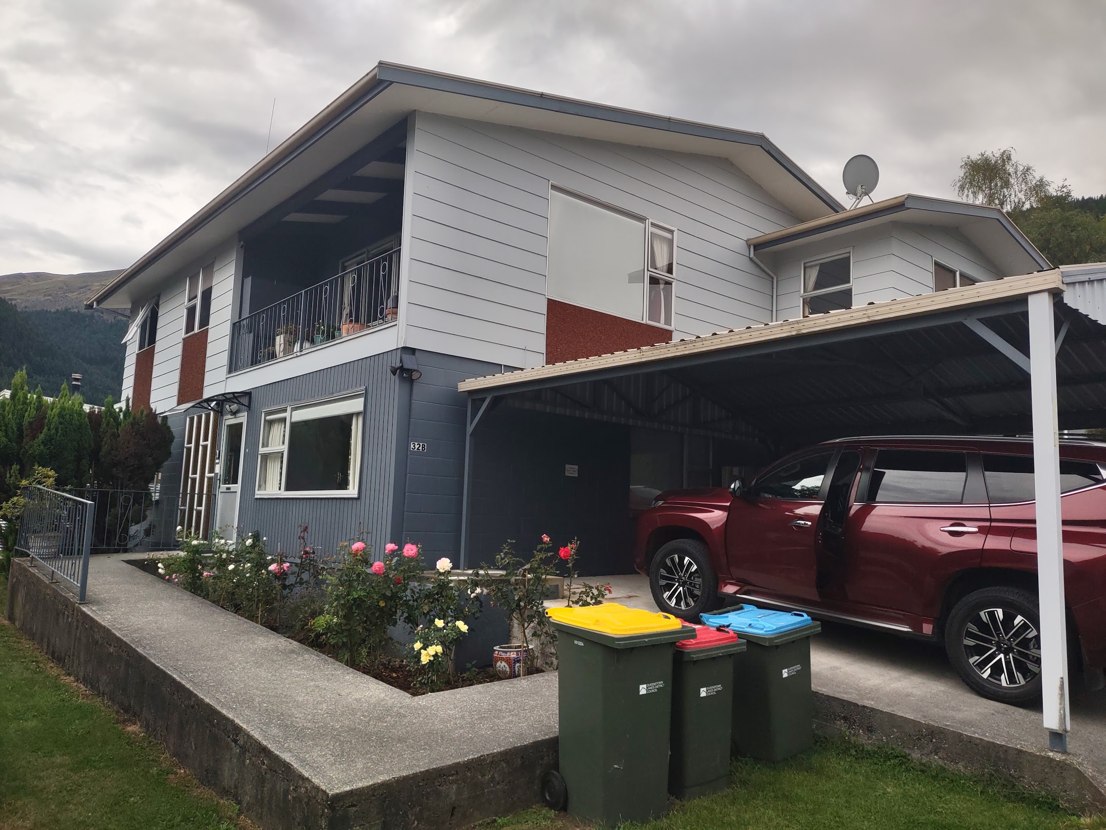
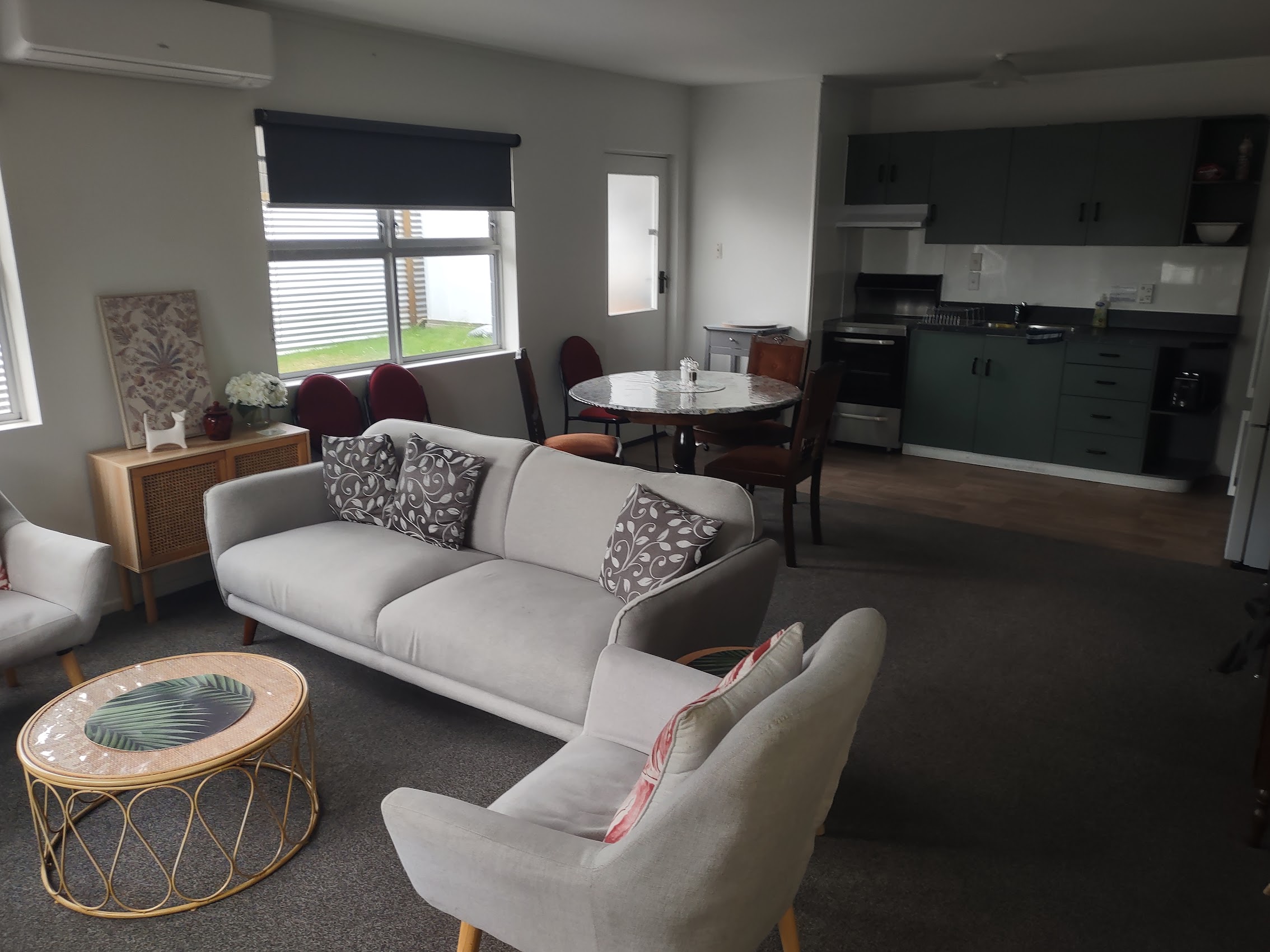
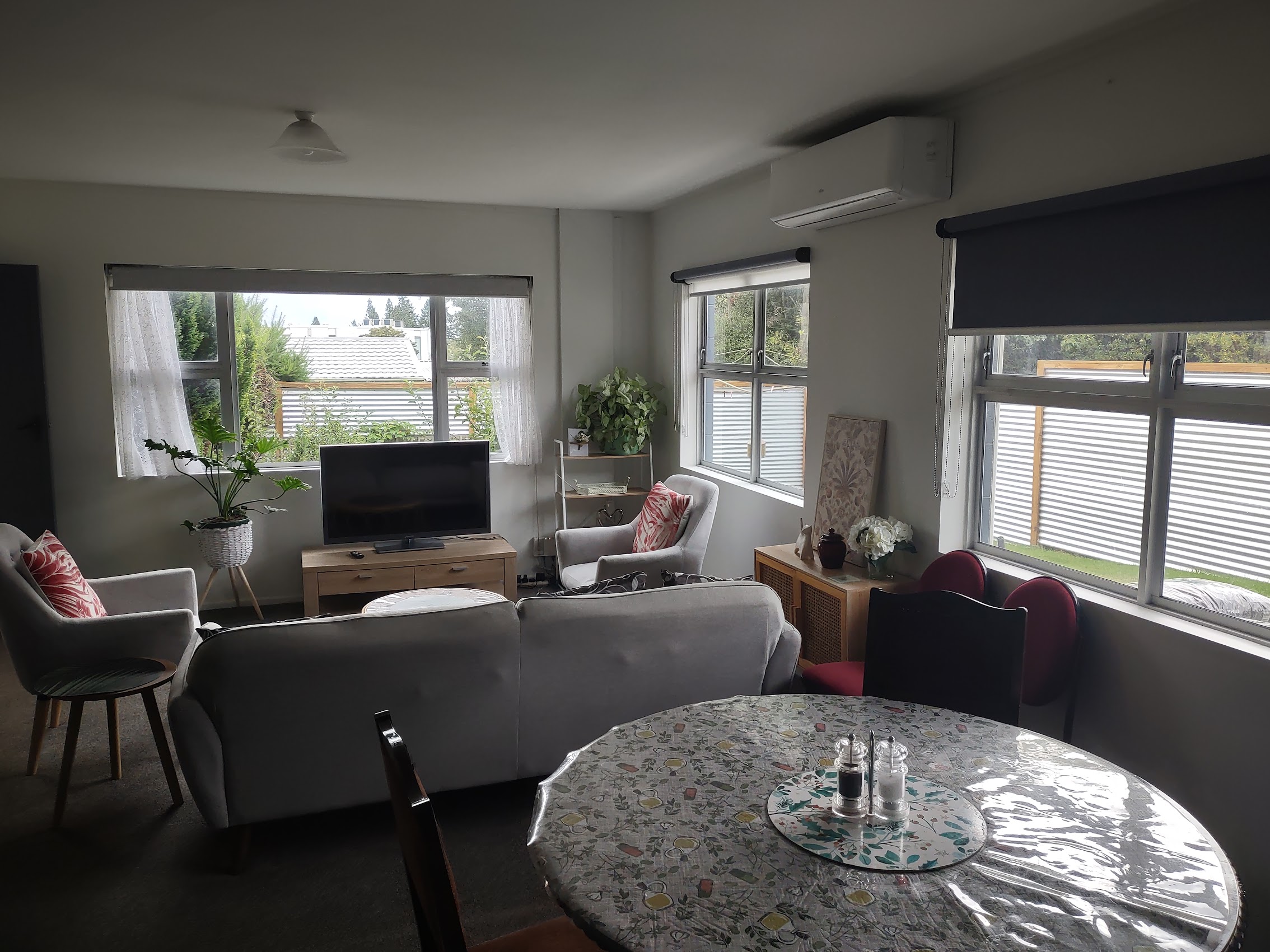
The place was nothing fancy, but fine for our needs with a large living area and a decently equipped kitchen and, surprisingly, at $149 per couple per night, the least expensive place we stayed on the South Island. We had a brief scare when it initially appeared that there was only one full bath, but we eventually found the shower in what we had thought was a half bath. (It was a bit small and hidden by the bathroom door when it was open.)
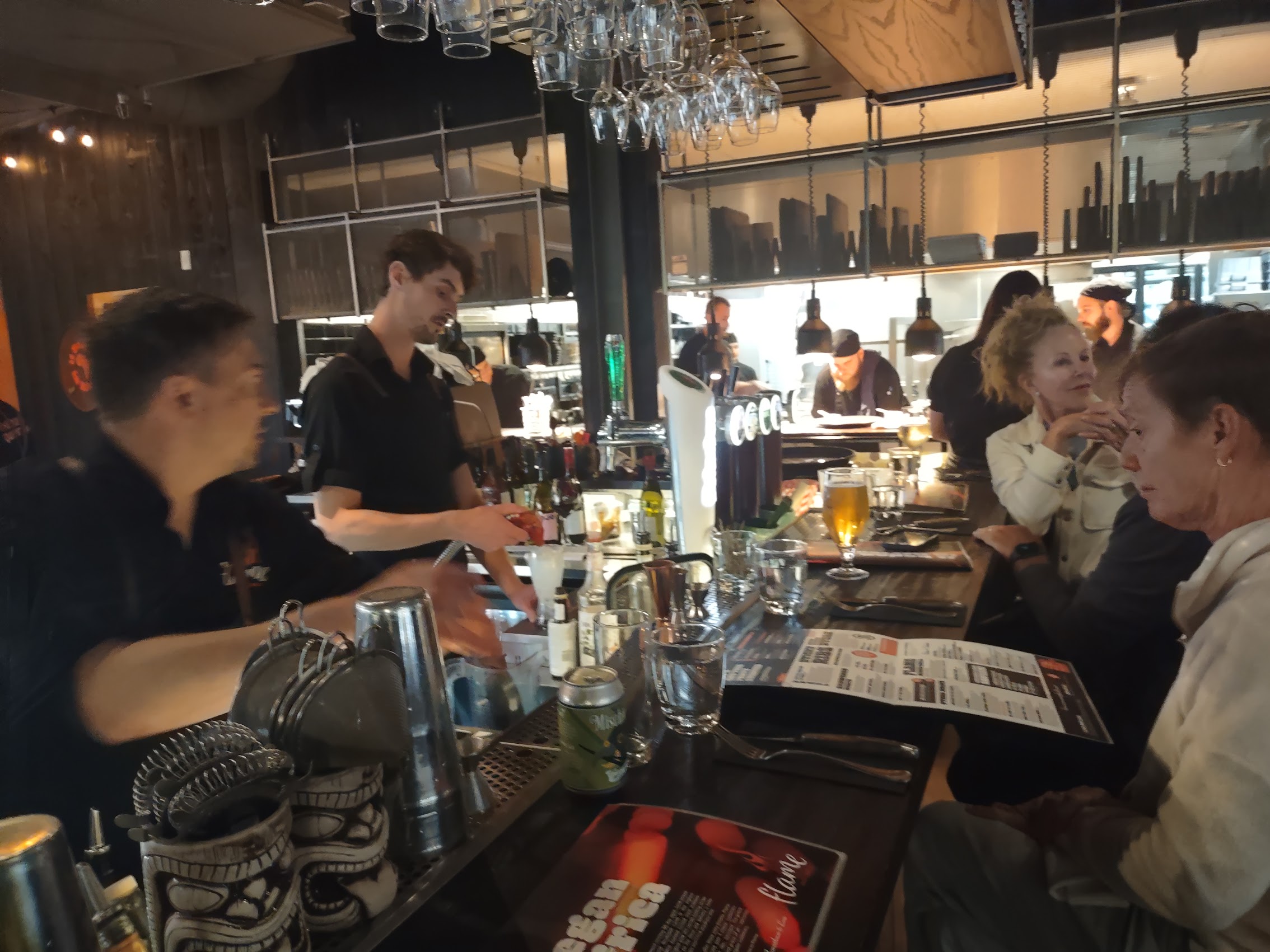
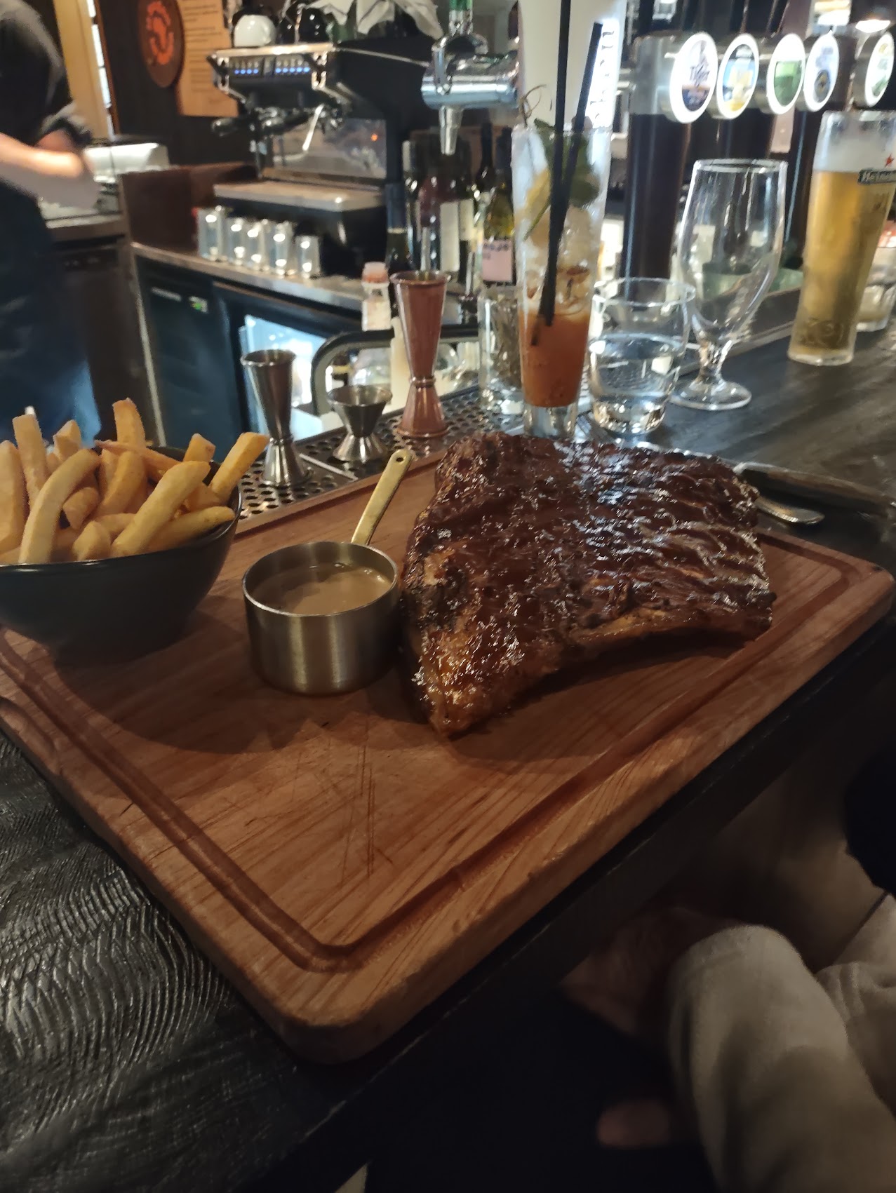
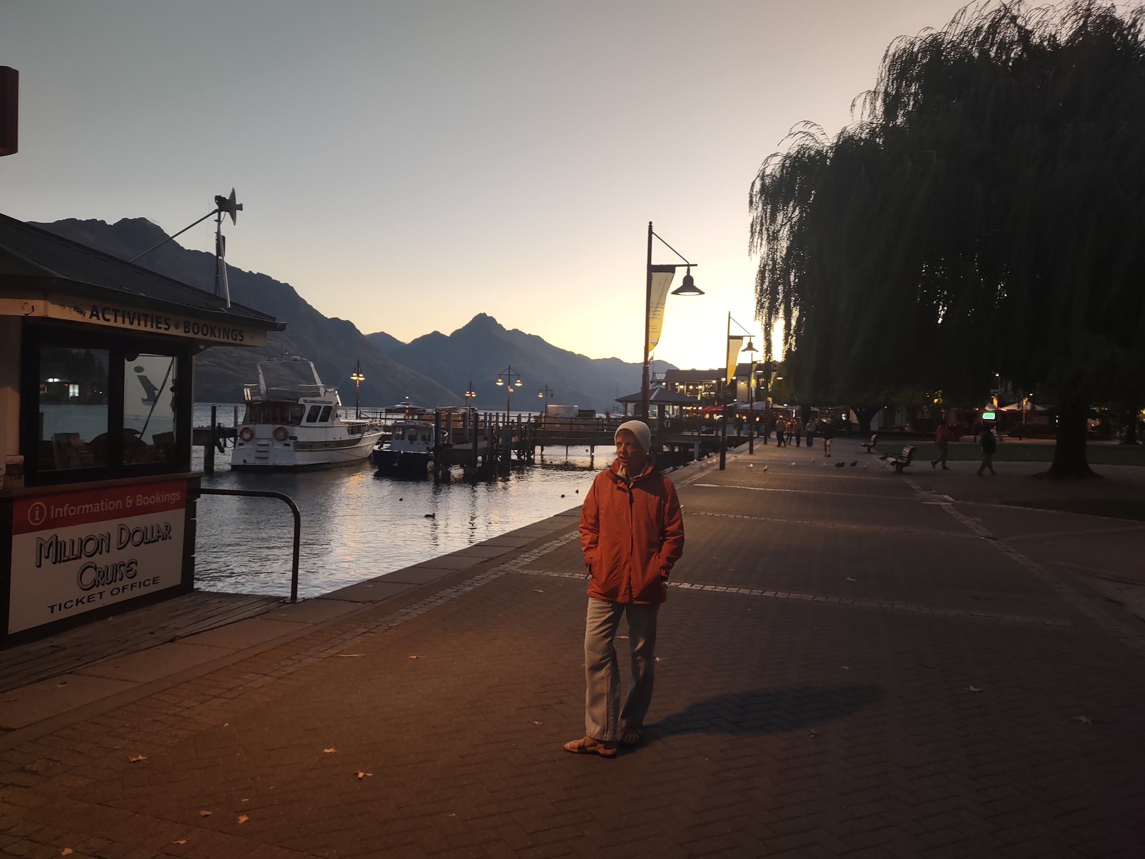
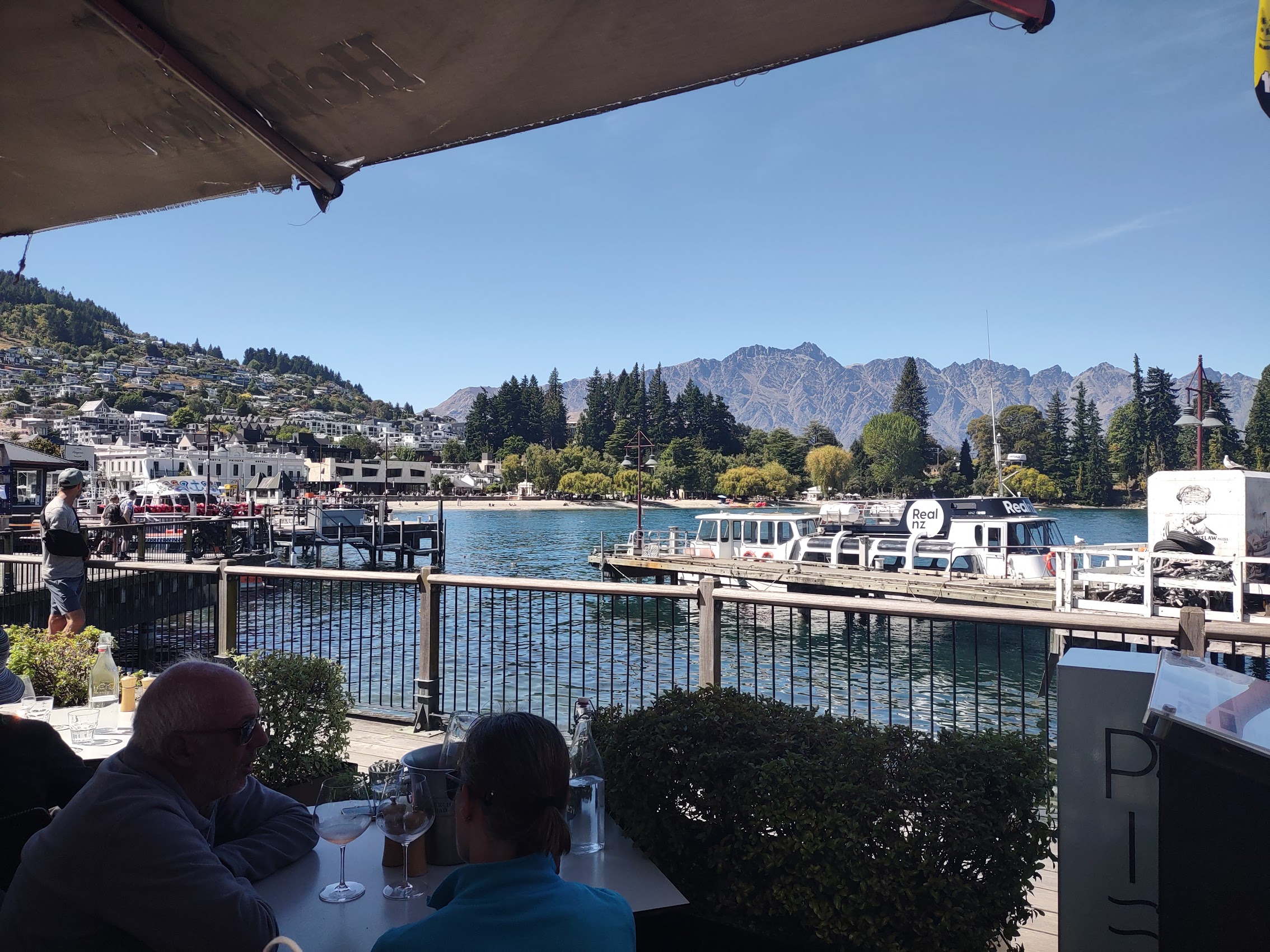
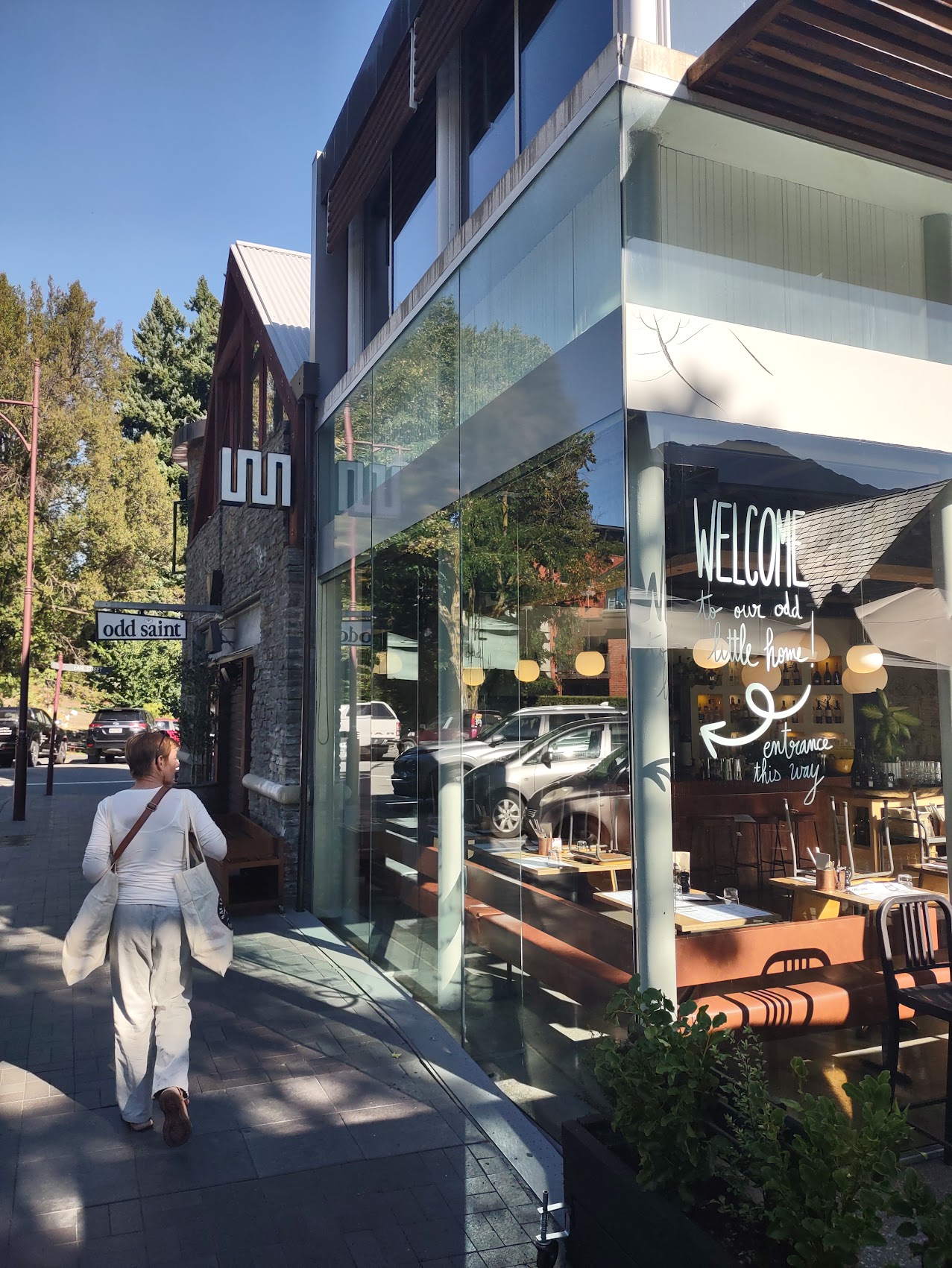
On our first evening in Queenstown, we took an exploratory walk down the hill into town and had a great dinner (steaks and a tower of lamb chops for Denny) at Flame Bar & Grill, a wonderful steakhouse started by two expat South Africans in 2008 and reputed to be one of the best restaurants in Queenstown. There were many interesting looking shops and restaurants around the Queenstown waterfront, most still open, but we had an early start scheduled the next morning, so we headed home vowing to return on another day.
Milford Sound/Piopiotahi
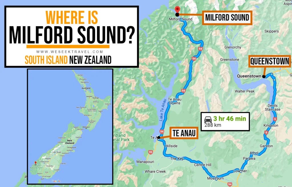
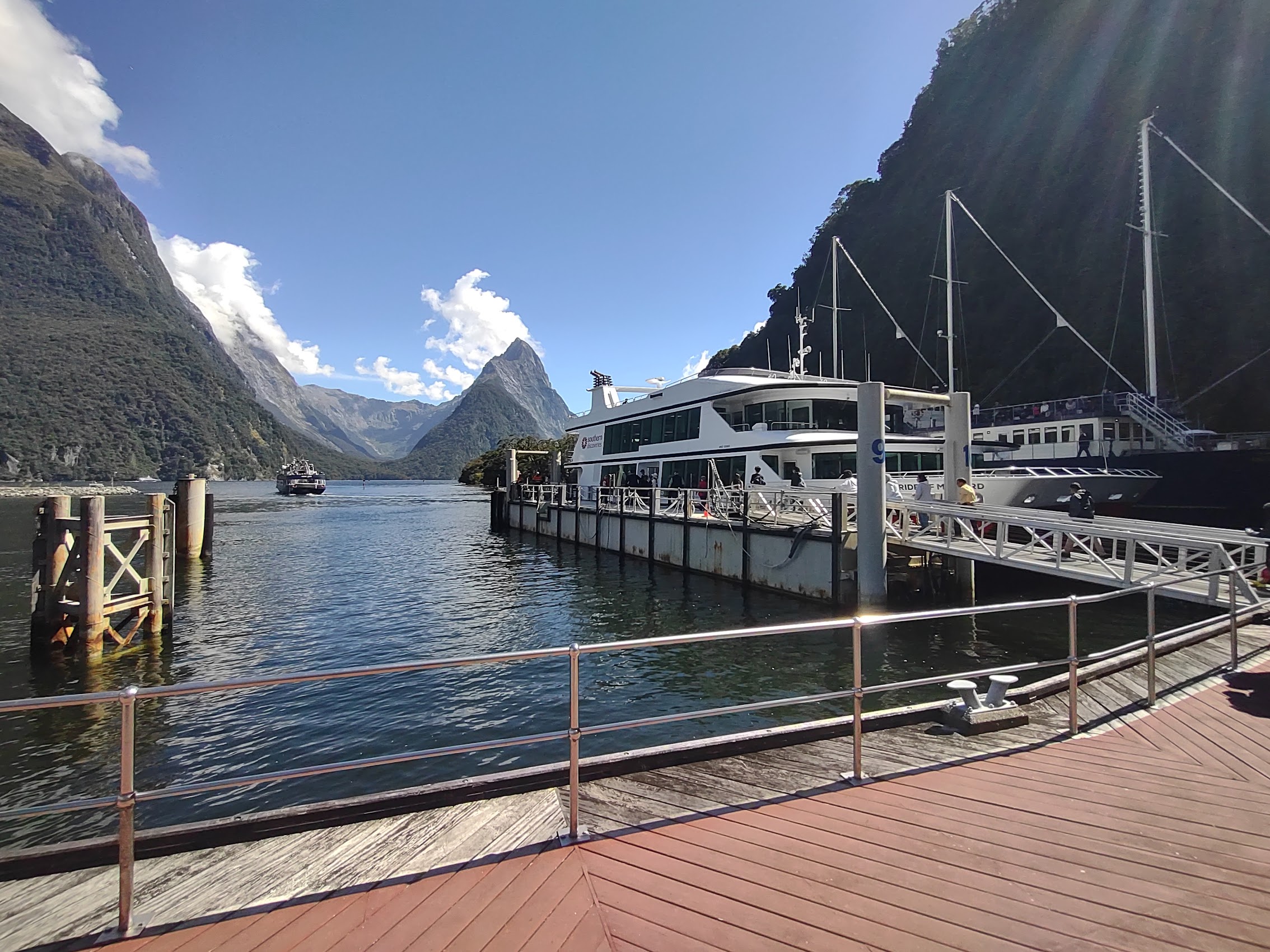
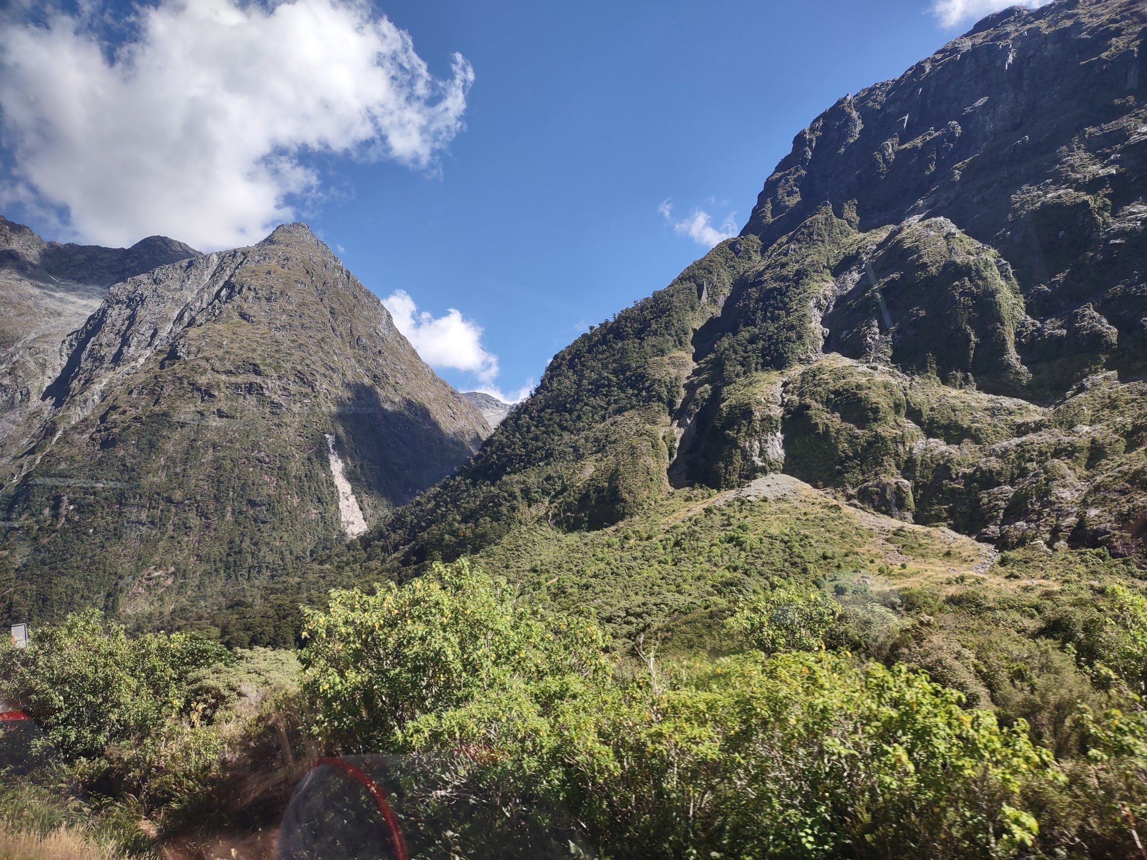
Amongst a couple of “excursions” (the term Colleen and I have adopted for day trips, tours, and the like) we had booked in advance with the Maddens was one from Queenstown into New Zealand’s Fiordland, a geographical region in the south-western corner of the South Island, dominated by the steep snow-capped Southern Alps, deep lakes, and steep, glacier-carved (and now ocean-flooded) western valleys. Our destination in Fiordland was a place called Milford Sound (Piopiotahi) reportedly New Zealand’s most famous tourist destination and once declared to be the world’s top travel destinations based on an international survey by TripAdvisor.

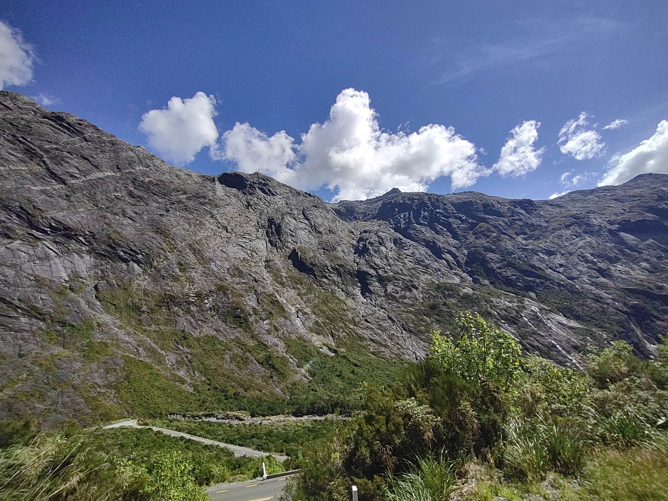
Although Milford sound is less than 100 kilometers northwest of Queenstown as the crow flies, due to its location on the other side of the Southern Alps, the route there is the definition of circuitous, going about 100 kilometers south, then turning west for about 80 kilometers to Te Anau, a town of about 3,000 people which is the gateway to the Fiordland National Park and Milford Sound, before turning due north for about another 100 kilometers.
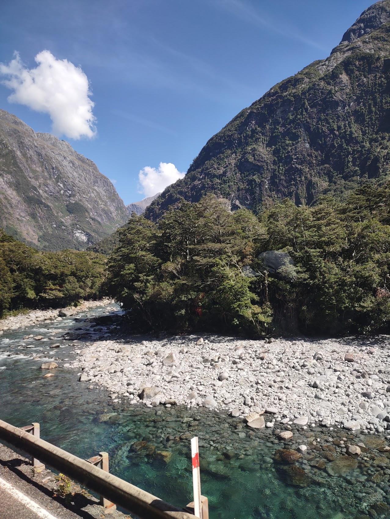
The ride there was not only circuitous but also incredibly twisty and turny, winding up and over mountain ridges and through river valleys with mountains looming above us, made even more dramatic because our bus had a glass roof. With stops for coffee, toilets, and a couple of photo opportunities, the trip from Queensland took almost five hours, much of which our tour guide filled with stories about the history of the area, its geology, and its lush flora.
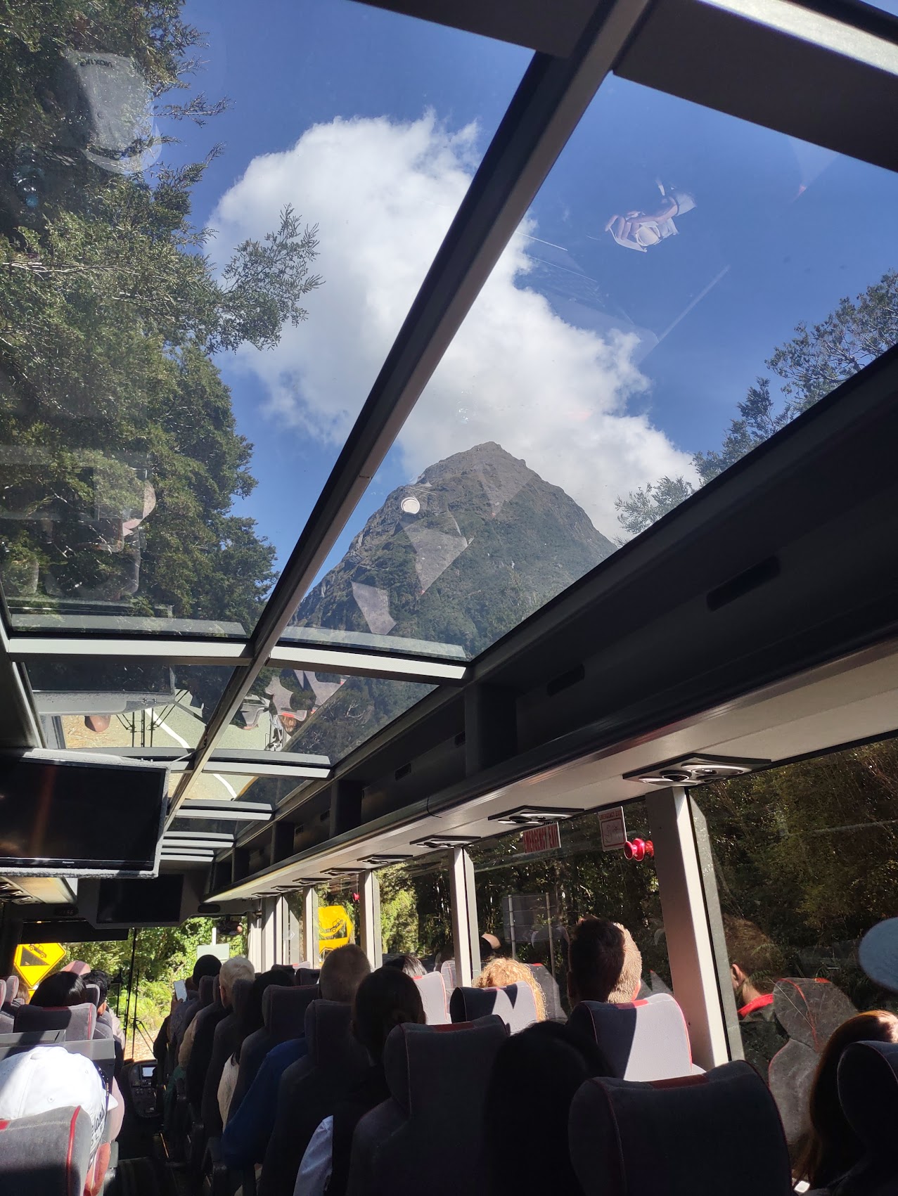

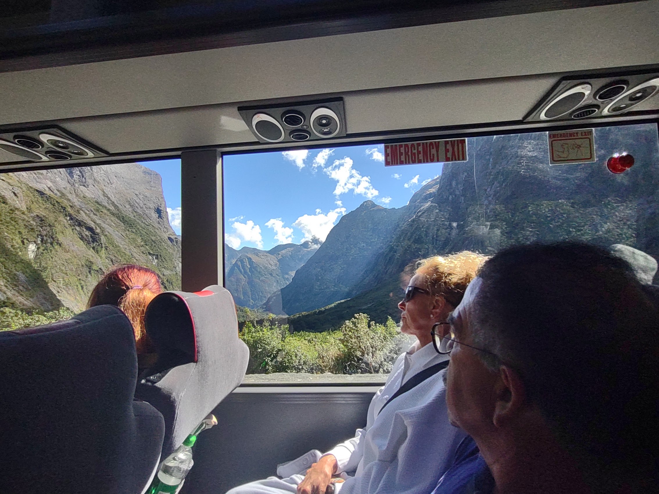

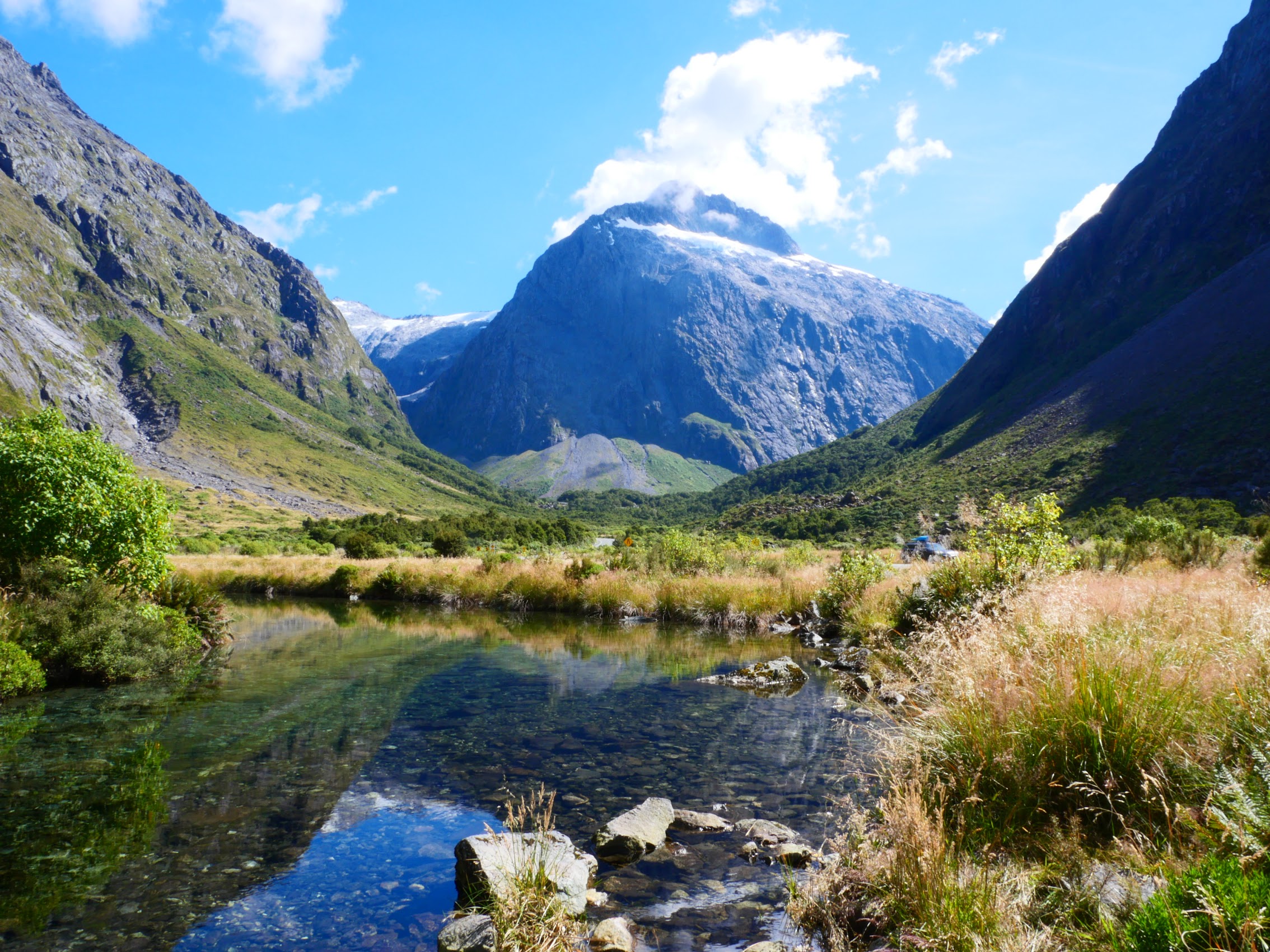
The last leg of the trip was probably the most dramatic, travelling through the wide Lake Te Anau valley then through narrow mountain passes to the Homer Tunnel, a 1.2 kilometer tunnel about 3,100 feet above sea level, which passes through the Darran mountain range, below the Homer Saddle, and finally into the Cleddau Valley which descends to Milford Sound. (Prior to the opening of the Homer Tunnel in 1954, there was no road access to Milford Sound which could then only be reached by boat or on foot.)

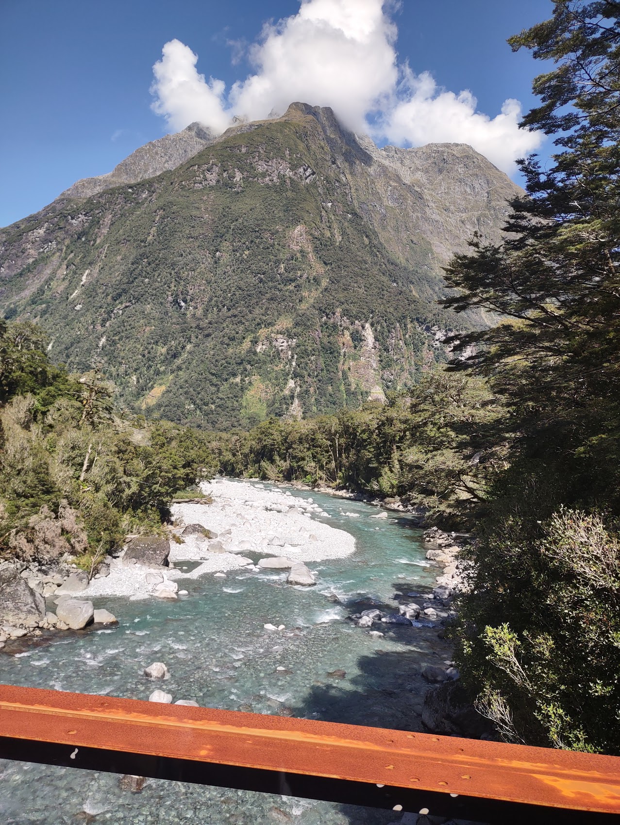
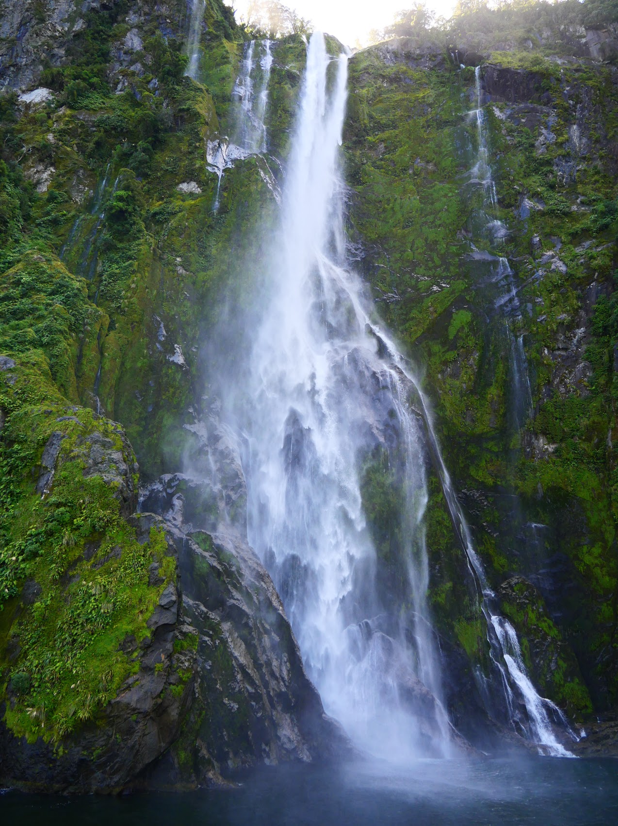
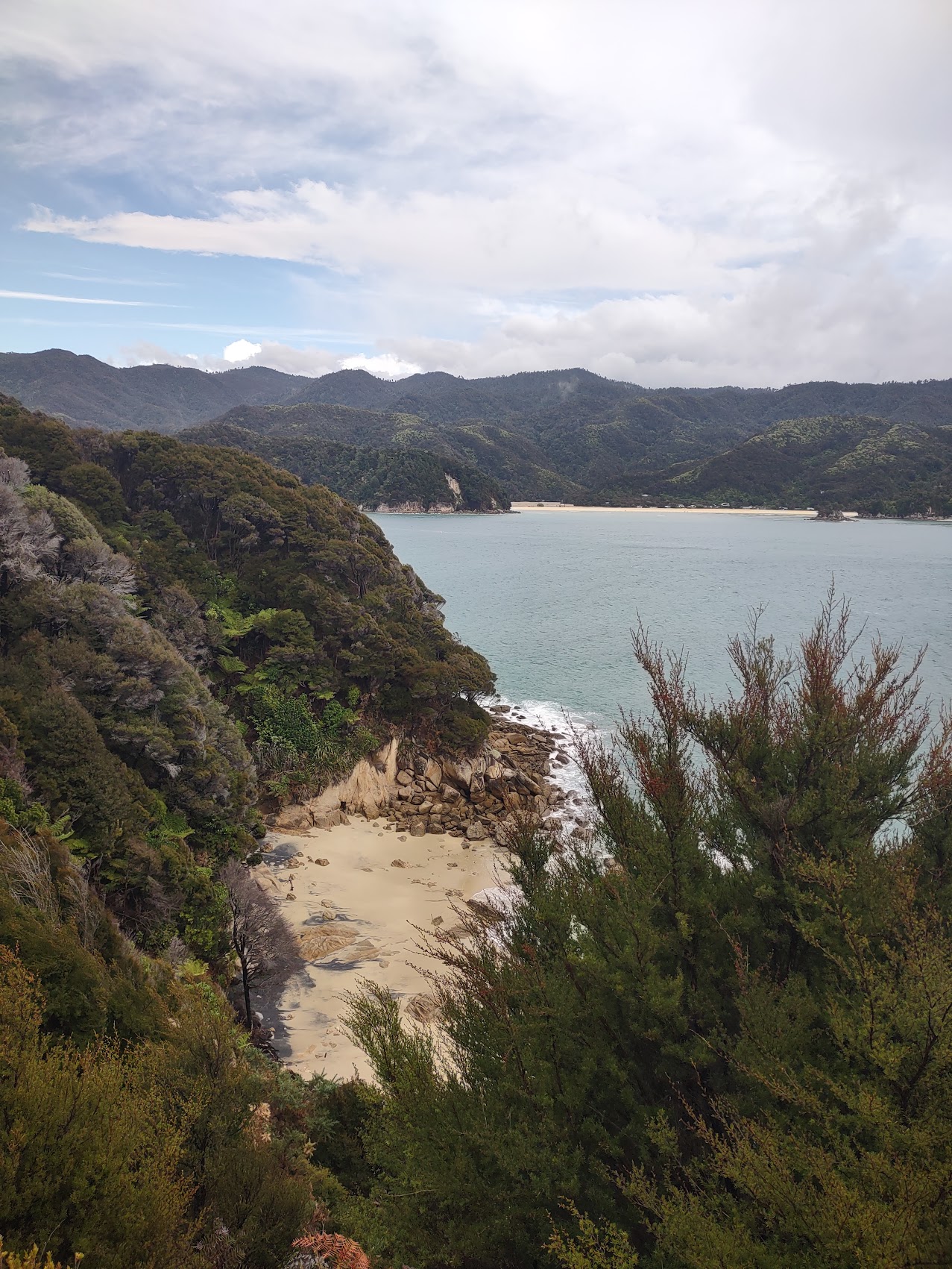
Milford Sound is a fiord which extends inland for over 9 miles from the Tasman Sea and is surrounded by sheer rock faces that rise 4,000 feet or more on either side. There are two permanent waterfalls in the Sound, Lady Bowen Falls and Stirling Falls, but after heavy rains numerous temporary waterfalls can be seen running down the steep sided rock faces that line the fiord. They are fed by rainwater-drenched moss and will last for days once the rain stops.
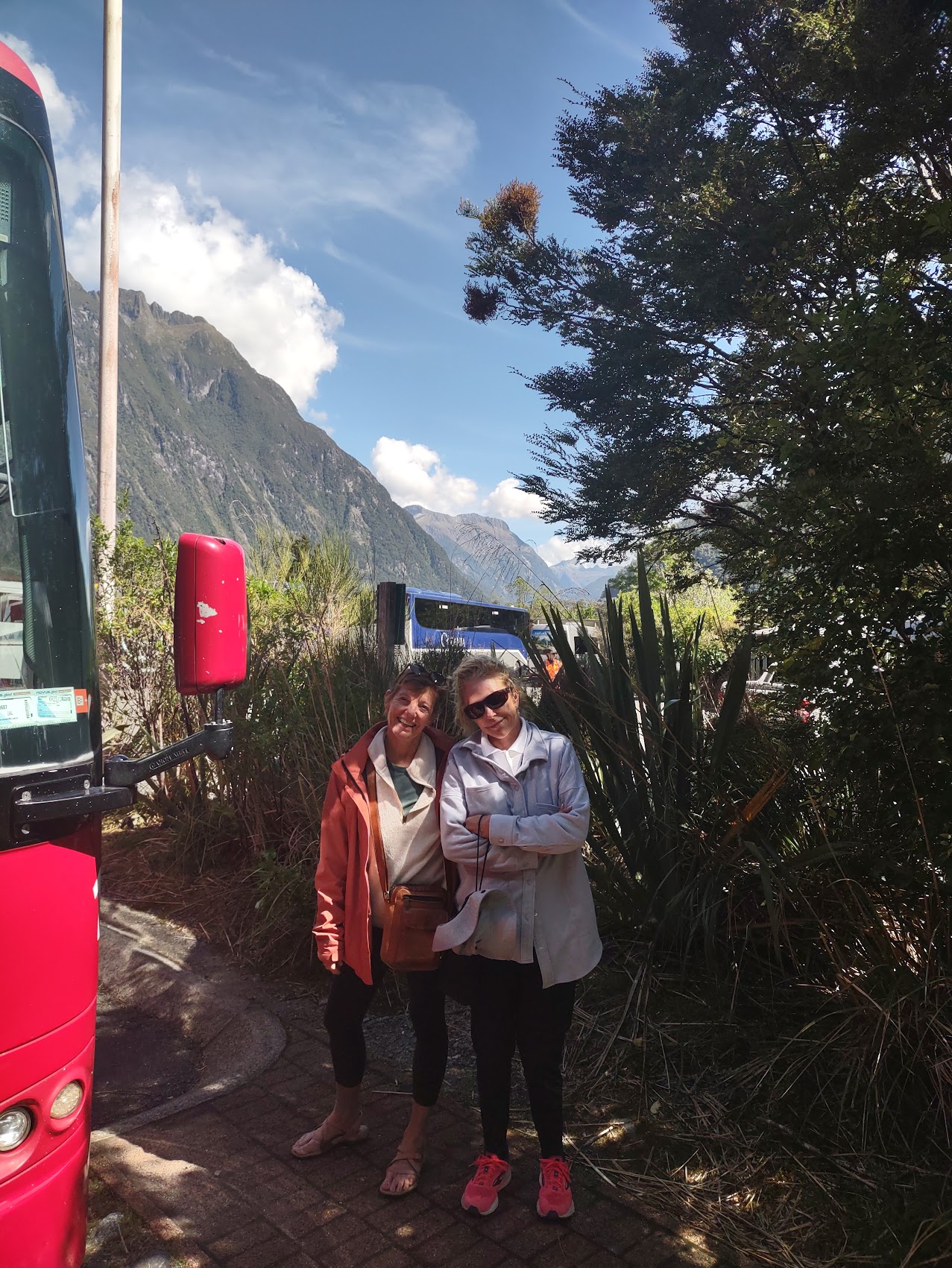
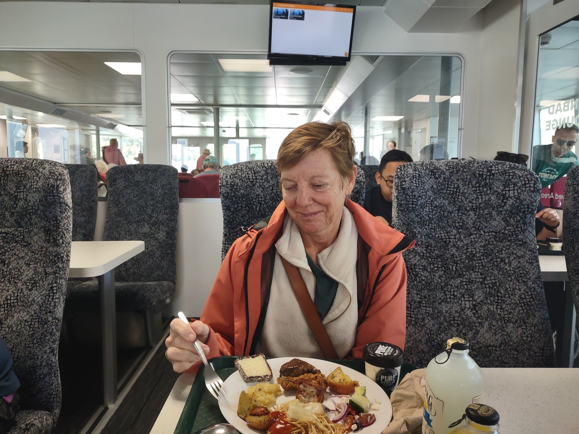
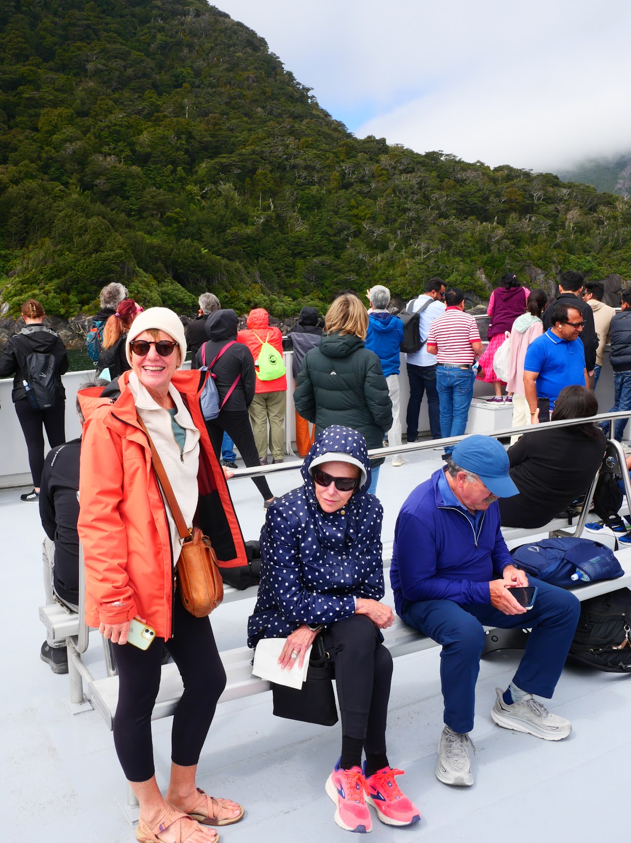
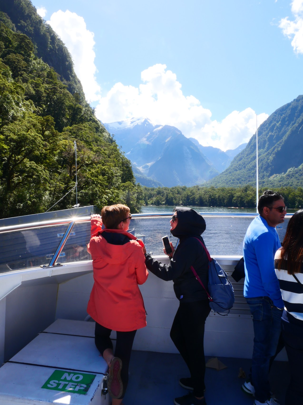
Our excursion included a 2-hour boat cruise (having grown up with Gilligan’s Island, we stay away from 3-hour cruises) which began with a buffet lunch while the boat was still docked. Lunch was fine, but we finished quickly so that we could make our way out on deck as the boat pulled out of the dock, located in the town of Milford Sound (population about 300) at the southeastern end of the Sound.
Our cruise took us to northwest to the mouth of Milford Sound on the Tasman Sea and then back again. Two large ridges at the mouth of the Sound overlap visually to create a sort of optical illusion which hides the entrance to the Sound from the sea. (One of the more interesting facts we learned from our tour guide was that, due to this condition, Milford Sound was overlooked by Captain James Cook when he mapped the coast of New Zealand in 1770.)

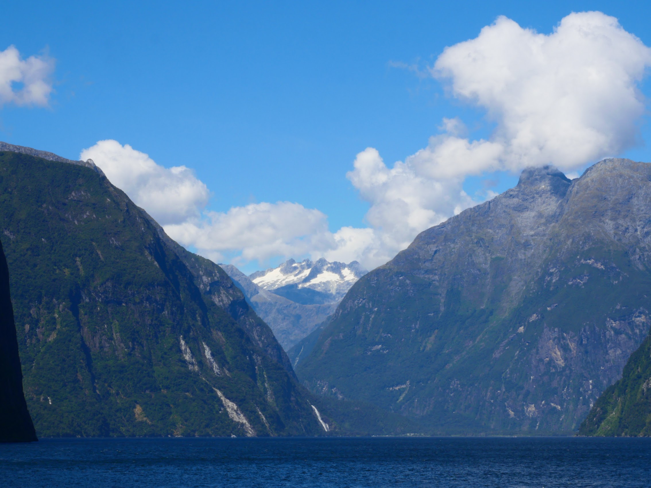
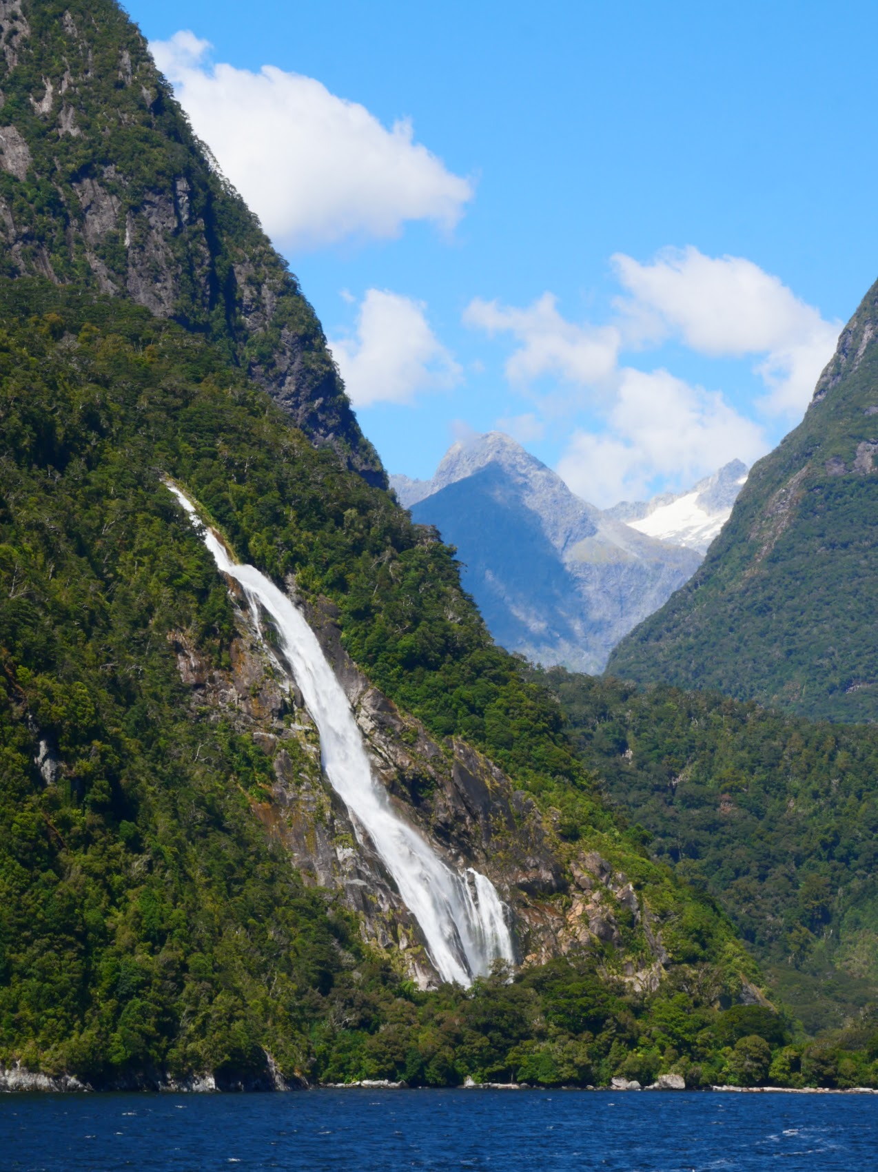

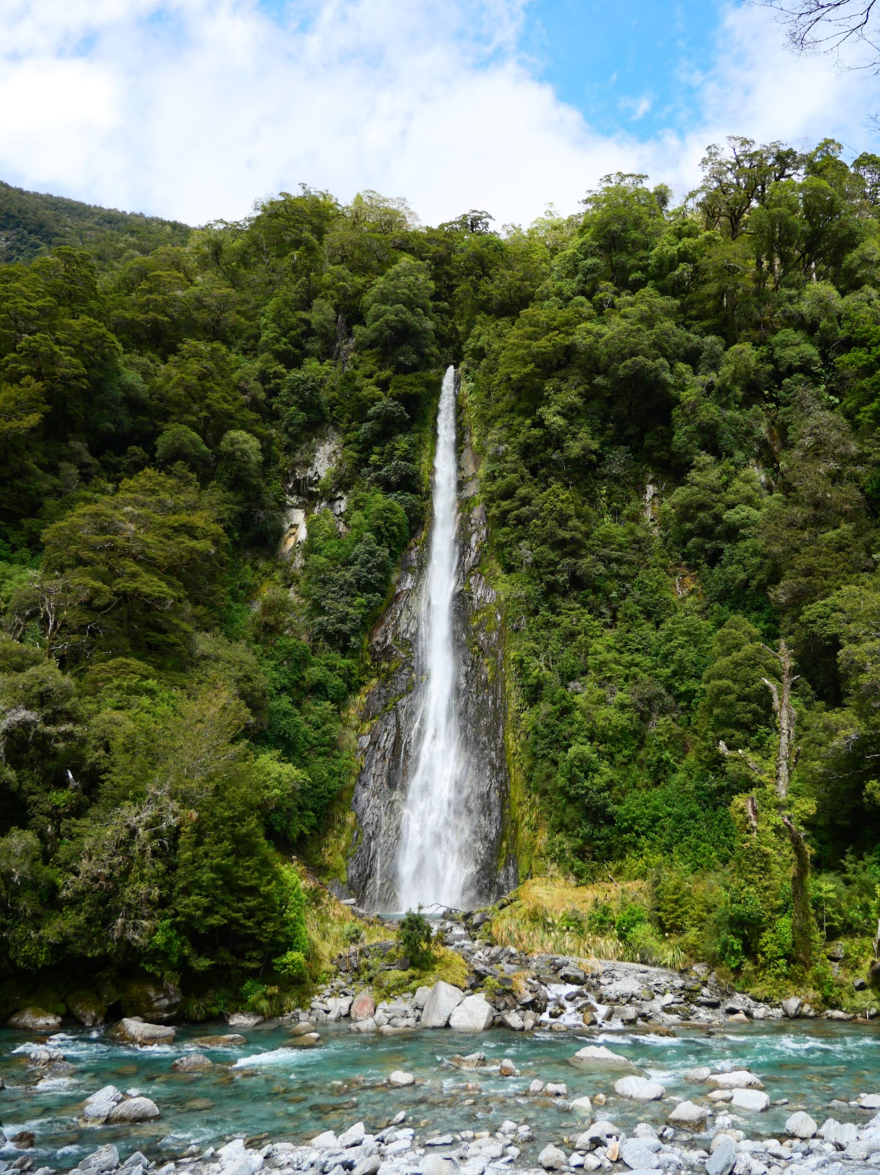
On our way back to our dock, we stopped to get a closer look at Stirling Falls, one of the two permanent waterfalls in the Sound, from which water cascades from a height of over 500 feet. From start to finish the views of the cliffs, mountains (some snow capped), and waterfalls were spectacular, truly one of the most beautiful and amazing places we have visited in the world.
The scenery on the way back to Queenstown was just as spectacular as on the way in and, despite it being a pretty long day which had started quite early, we found it difficult to give in to the temptation to nap.
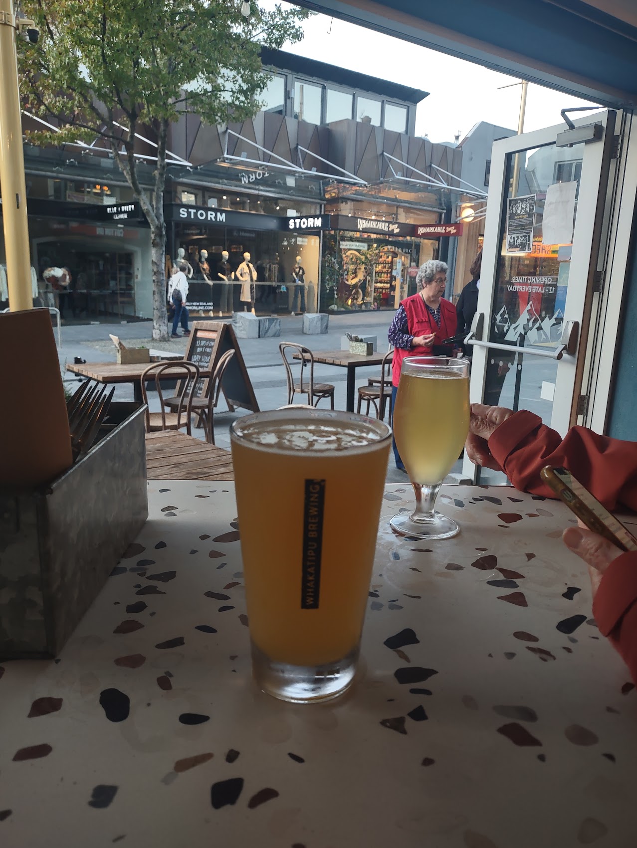
It was near sunset when we arrived back in Queenstown and we made our way back to the waterfront for beer and nachos at a place called Whakatipu Brewing (where we discovered that ginger beer is a thing in New Zealand too). The beer was good, but the nachos were not, so we made up for it with some very good gelato before heading back up the hill to our stay after an incredible day.


A Day in Queenstown
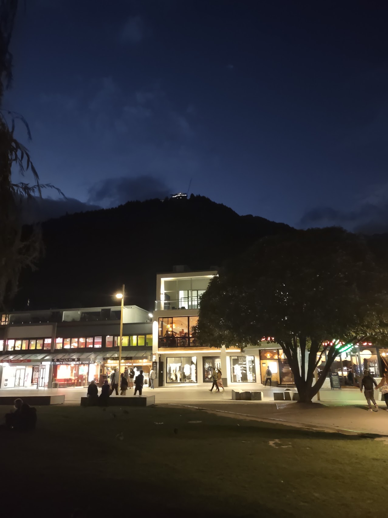
Our last full day in Queenstown was Thursday February 29th which, thanks to it being a Leap Year, felt like a bonus day to us which we committed to a more thorough exploration of Queenstown. After a leisurely breakfast at home, we left our place and, as we headed down the hill, were greeted by the sight of a steady stream of paragliders descending from a place called Bob’s Peak on the mountain northwest of town, a reminder that Queenstown is considered an adventure sports center.

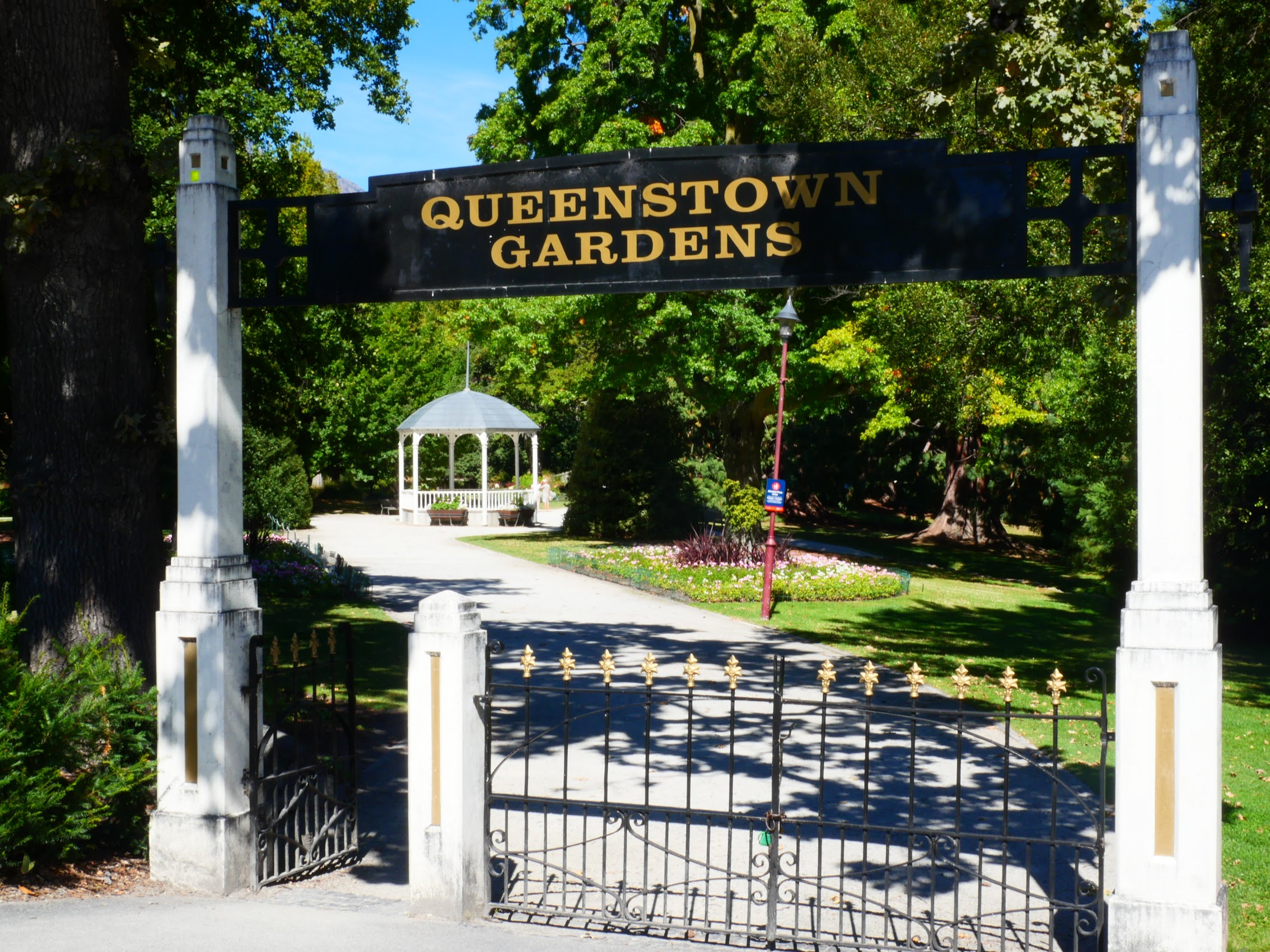
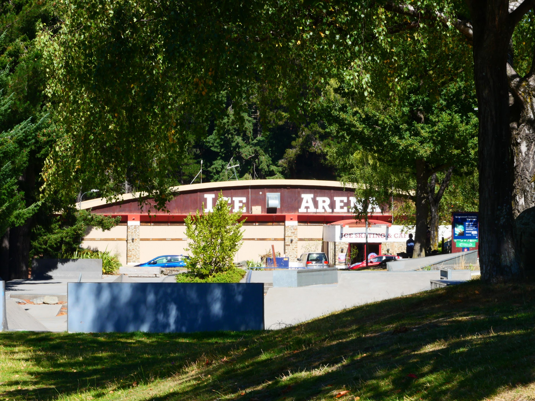
We began our day in Queenstown with a short hike around Queenstown Gardens, a botanical garden on a wooded peninsula just south of the town center which contains a variety of exotic and native trees and plants as well as a large pond and a range of recreational facilities. These included a children’s playground, tennis, lawn bowls (hah!), a skate park, bike and hiking trails, a disc golf course and an ice skating rink (which was a surprise to us both).

We followed a trail around the perimeter of the peninsula which offered some great views of Lake Wakatipu and the surrounding mountains including a beautiful range of mountains southeast of Queenstown with the interesting and appropriate name of “The Remarkables”.


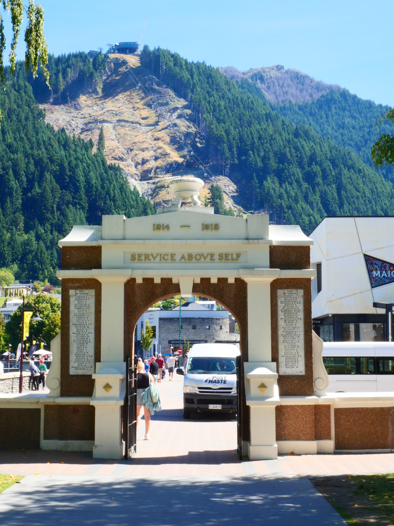
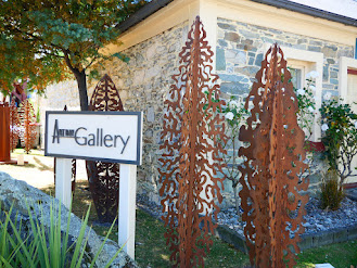
The trail from the Queenstown Gardens led us through a war memorial to the Queenstown waterfront , which was bustling with activity but not crowded. We wandered for a bit, checking out some of the small art galleries and boutiques and making a couple of small purchases (post cards and small posters) before meeting Denny and Wendy for a nice (but expensive) lunch at a place called The Pier (next door to The Flame).

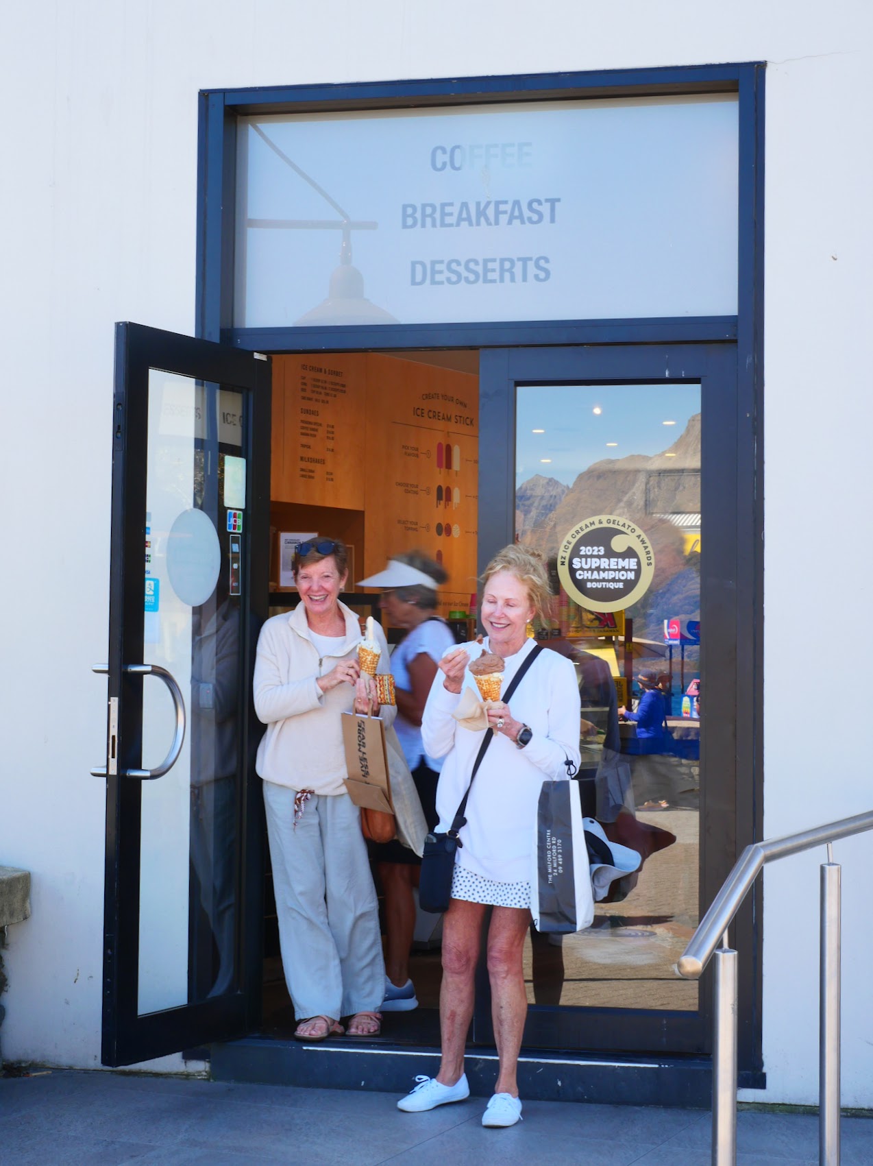
We spent the rest of the afternoon strolling and shopping, stopping for ice cream along the way. Most of the shops were pretty upscale and, in keeping with Queenstown’s reputation as an adventure sports center, included quite a few outdoor sports shops like North Face and Arc’teryx. Colleen was looking for a pair of long pants as we were expecting to encounter colder weather and I was in the market for a sweater for the same reason. We saw some items we really liked, but were put off by the price and kept looking.


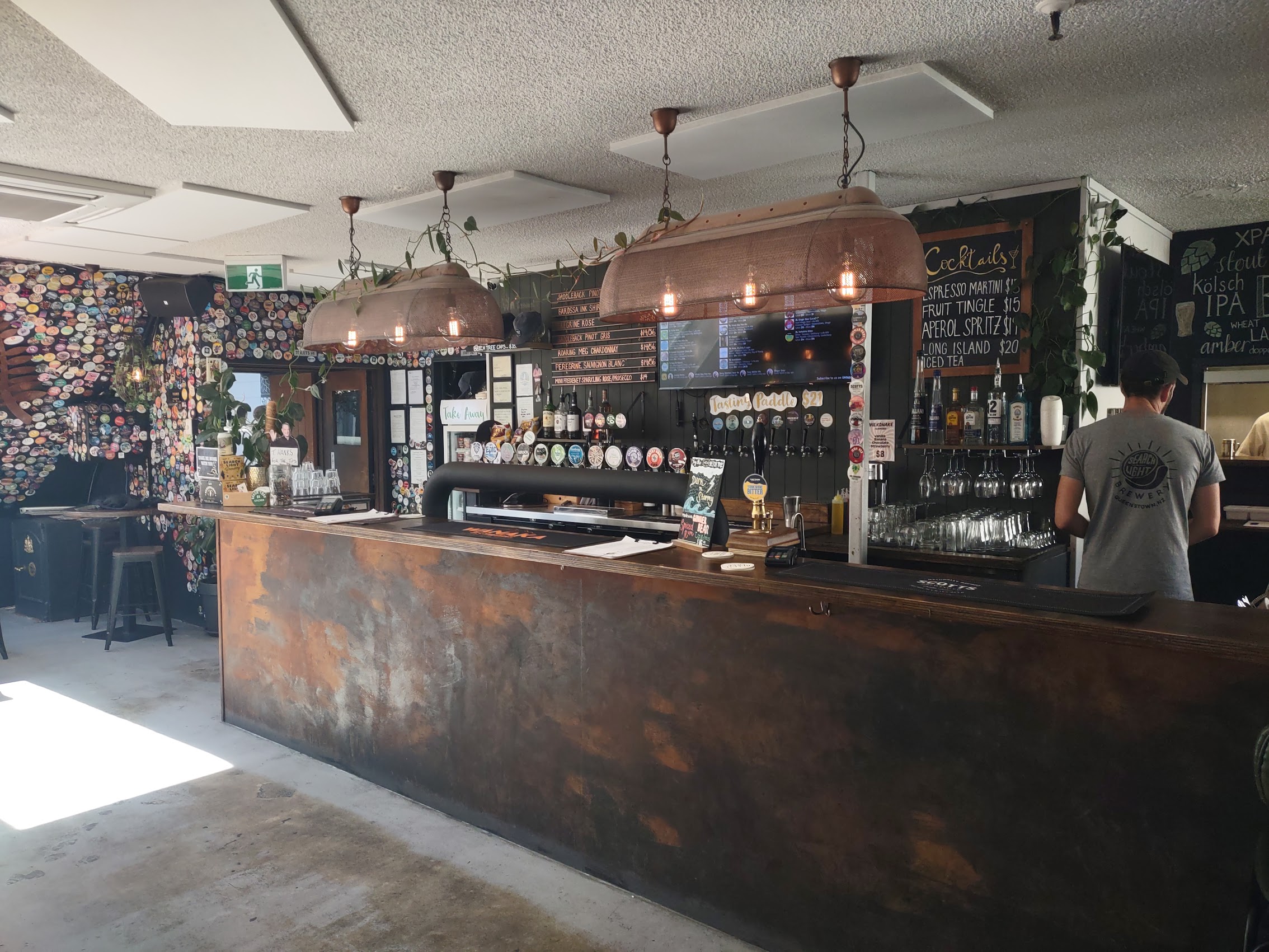
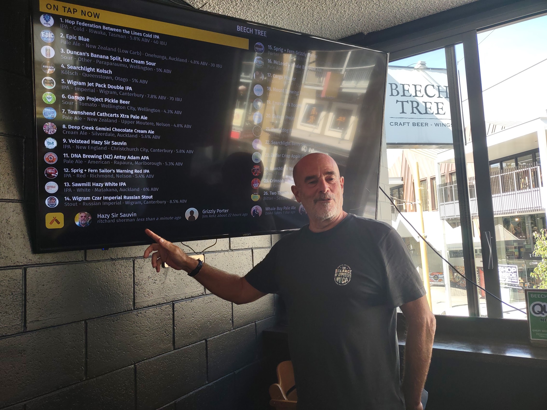
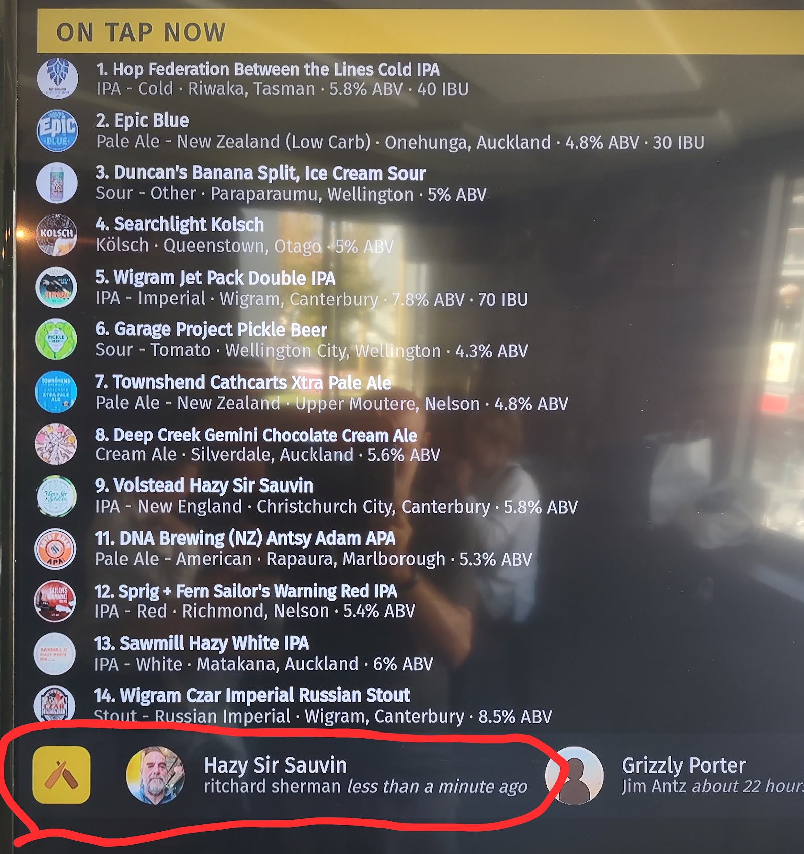
We eventually stopped at the Wanaka Beerworks, who had a very nice selection of beers and ales (including some sours!). They also had a live display of Untappd, the beer tracking app I and some of my friends use and I had the unique experience (for me at least) of seeing my check-in on the app appear live on their screen.
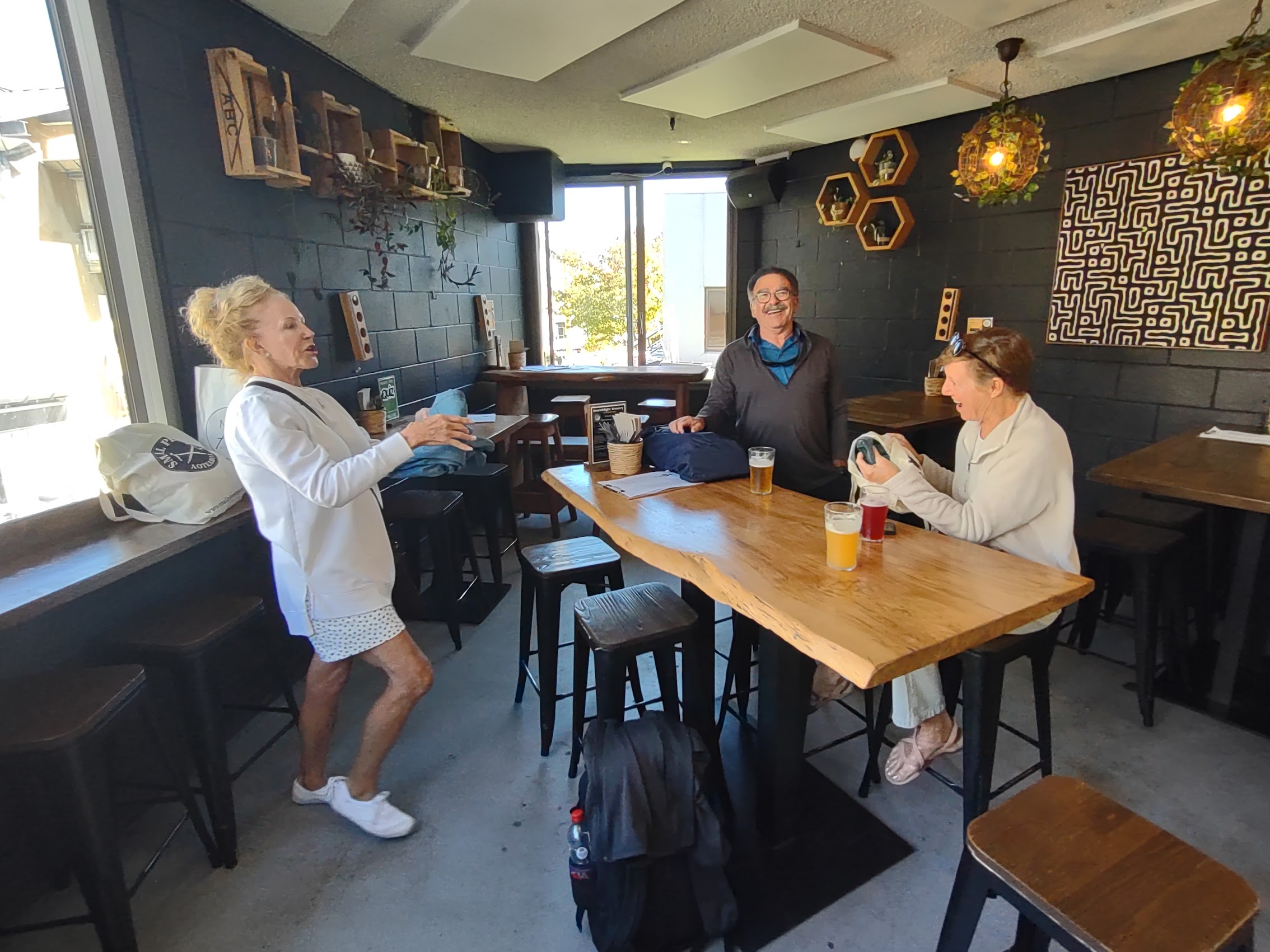
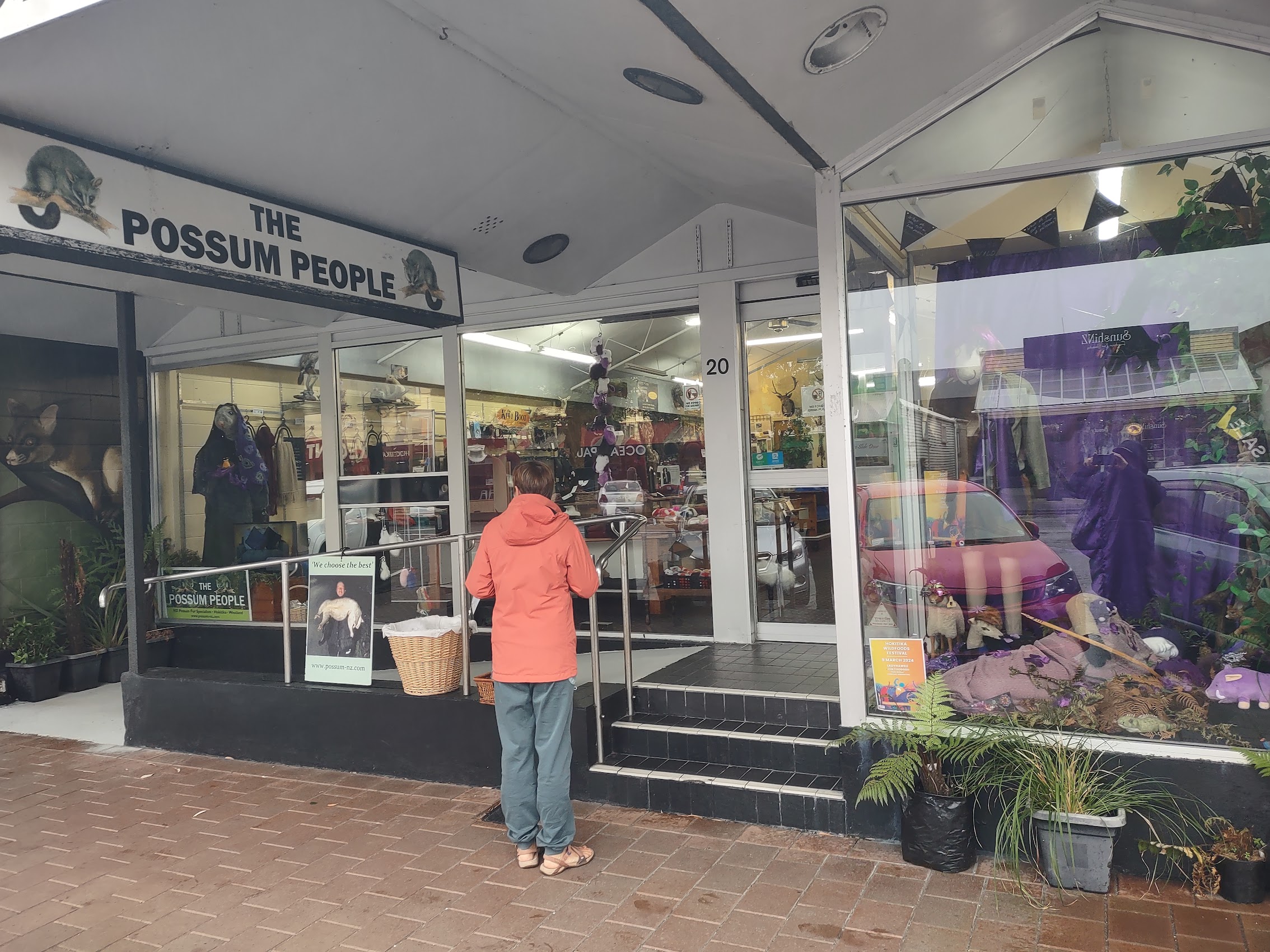
After a couple of rounds of beer, we headed back out to complete our shopping. With our inhibitions (and purse strings) slightly loosened, Colleen proceeded to purchase an expensive (but very cool) pair of Italian climbing pants. (As she put it, who knew climbing pants could be so fashionable!) When Wendy saw them, we had no choice but to return to the store where she purchases a pair of her own. For my part, I purchased a very nice (and very pricey) possum wool sweater. (Possum wool is arguably New Zealand’s national fiber. It is astoundingly warm, shockingly light, phenomenally soft, and incredibly durable.)
After an expensive but very enjoyable day eating, drinking, and shopping in Queenstown, we headed home for a wonderful cheese and meat board which Colleen and Wendy assembled. After dinner, we introduced Denny and Wendy to The Lord of the Rings and Hobbit movies (in preparation for a stop we had planned on the North Island) before calling it a night.
Franz Joseph
Our destination for our next day was the small town of Franz Joseph, located on the west coast of New Zealand’s South Island and known for its proximity to the Franz Josef Glacier. We were back on the road fairly early as our stay in Franz Joseph was for just one night, so we wanted to arrive there as early as possible (in hope of catching a glimpse of the glacier). We anticipated the drive there to take about five hours (without stops), but had a scare the night before when I consulted Google Maps to find that one of the mountain roads on our route was closed (due to weather?) and the reroute would take us about 10 hours. But by morning the road was open again and we were back on schedule.
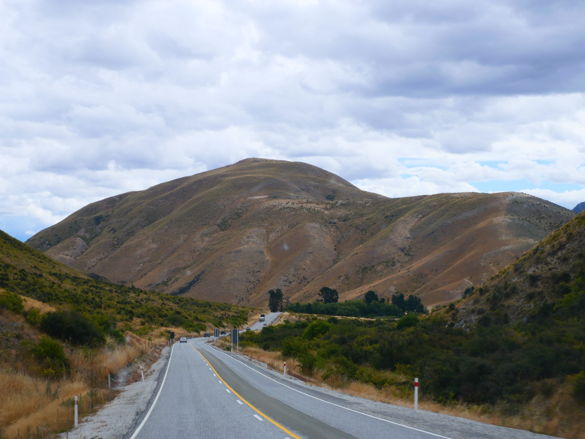
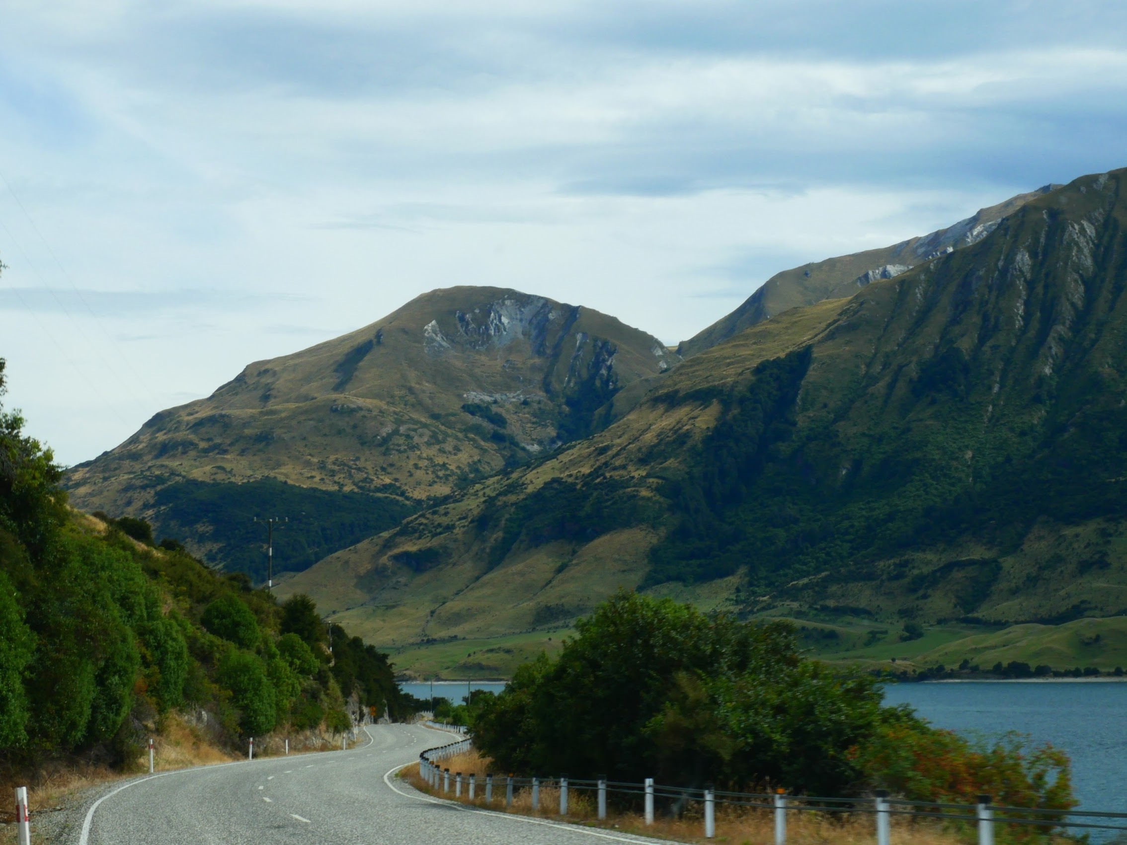
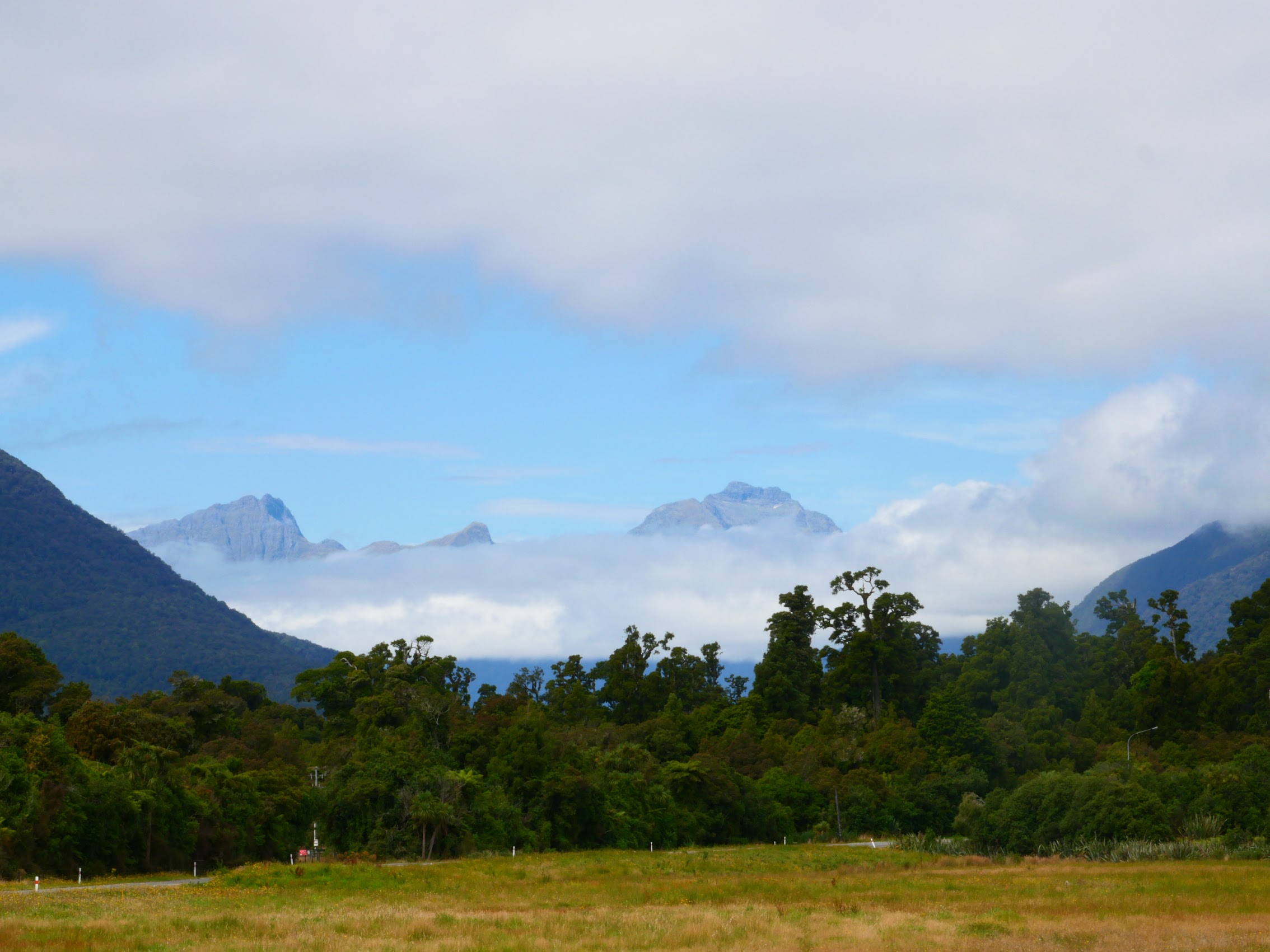
Our route to Franz Joseph took us north from Queenstown through the Southern Alps where the scenery was just as spectacular as it had been on the way to Milford Sound. It seemed as if there was a beautiful vista of a lake, river valley, mountains, or a waterfall around every corner and, try as we might to stay on schedule, we could not help but make a couple of unscheduled stops at scenic points along the way.
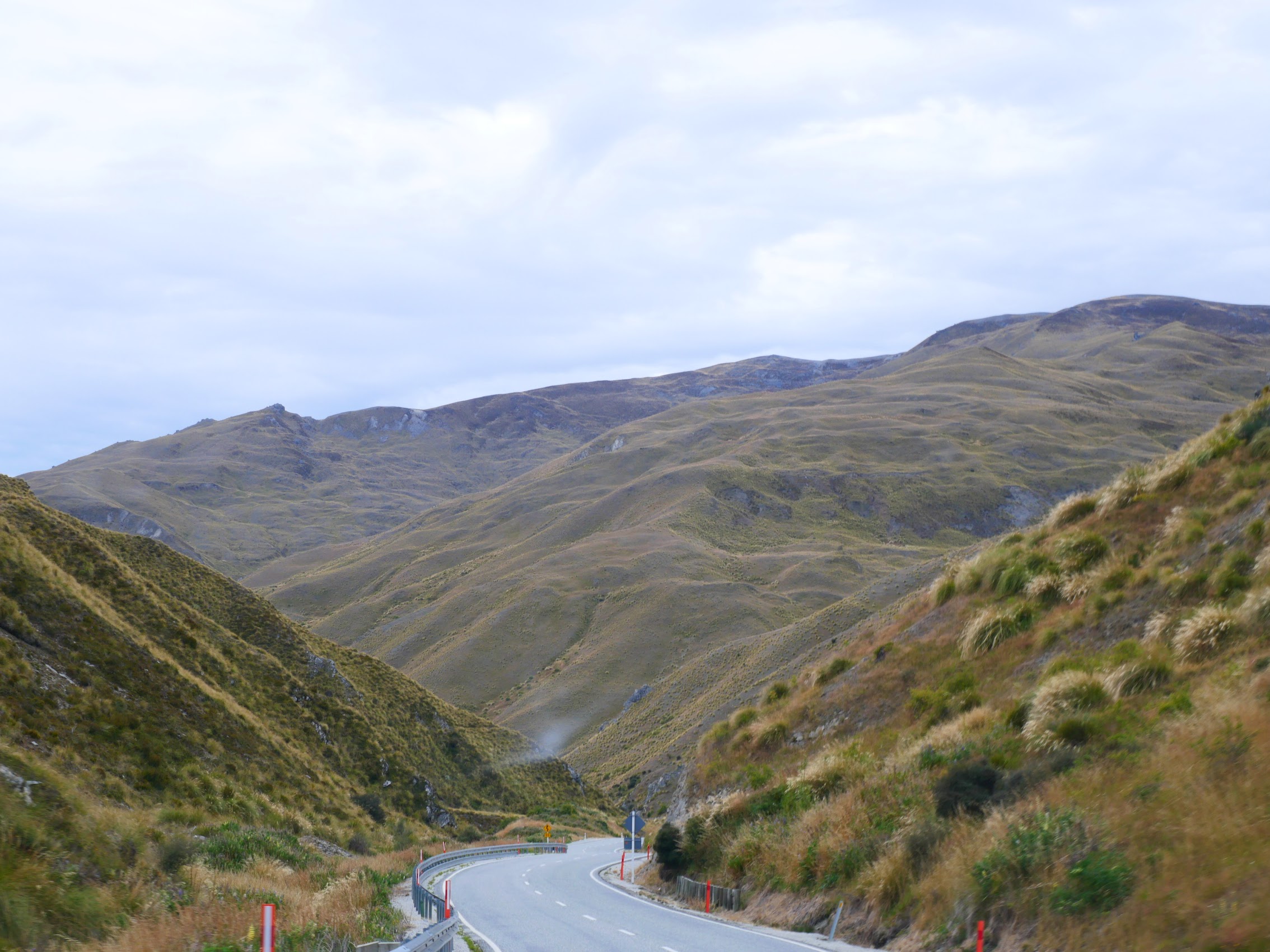
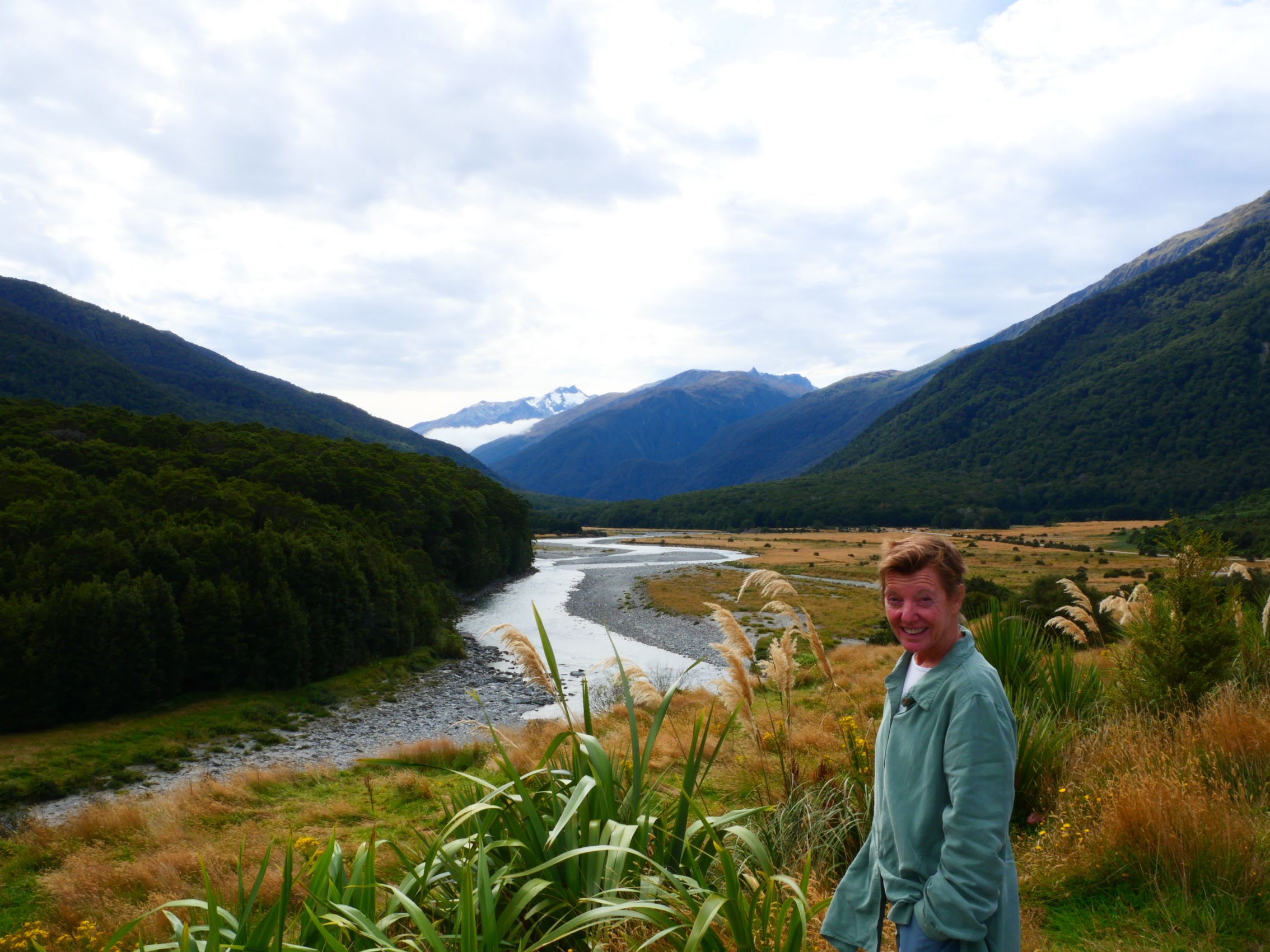
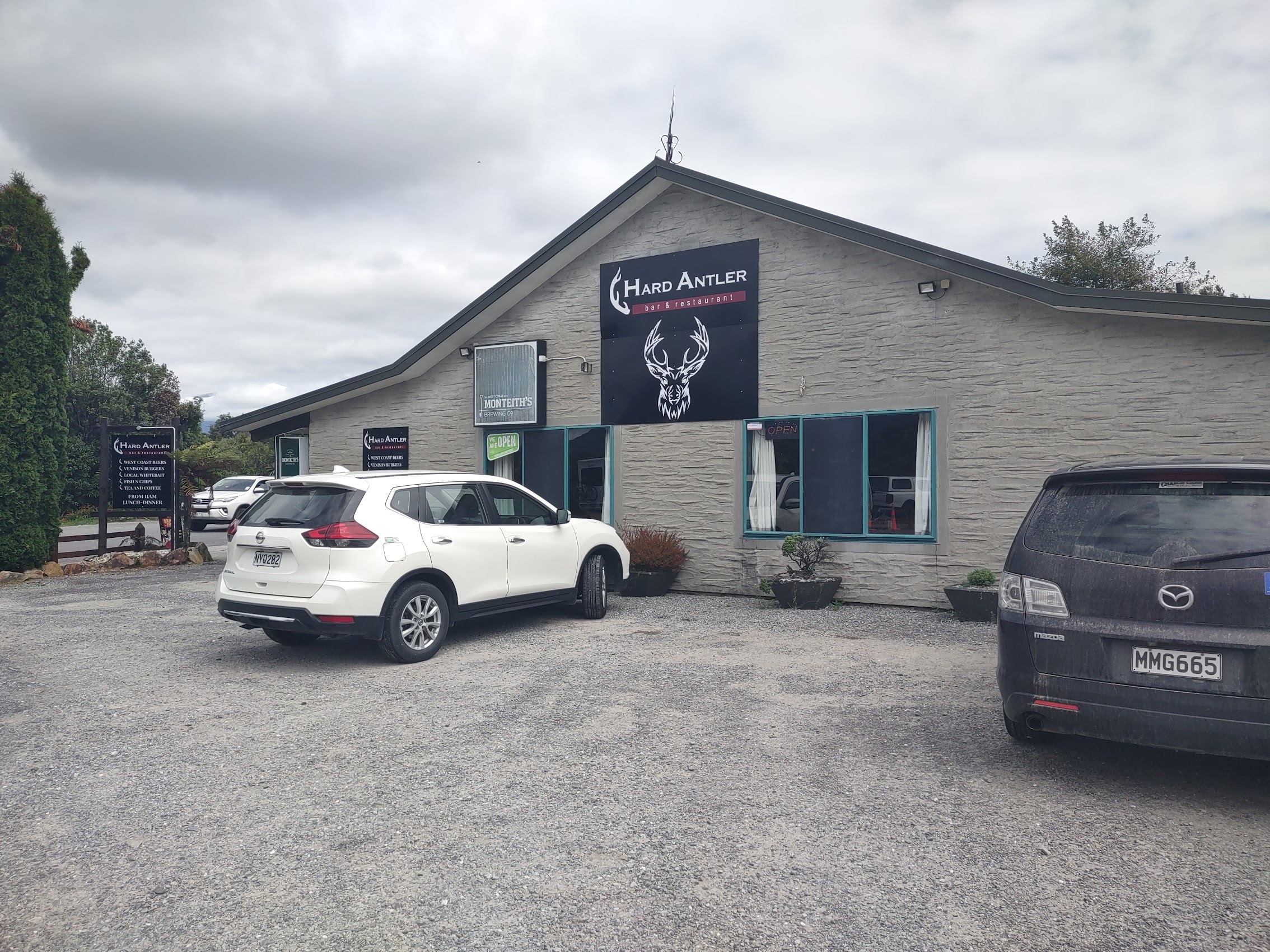
We crossed the Southern Alps through the Haast Pass and emerged on the west coast of the South Island through the Haast River valley. We stopped in the town of (you guessed it!) Haast (population 90) for some lunch at a place called the Hard Antler. On our way through the valley we had noticed what appeared to be large herds of deer in fenced pastureland and confirmed at the Hard Antler that these were in fact deer farms.
Deer are not native to New Zealand but were introduced in the 19th century for hunting by European settlers. The deer population grew rapidly and became a problem because they damaged the native forests. Today, New Zealand’s deer farming industry is the largest and most advanced in the world and the country is the world’s biggest exporter of deer meat and products including venison (mostly to the U.S.) and deer velvet, which is one of the most important ingredients in Asian medicine.
Deer farming, which became economically viable in the 1960’s, makes good use of hilly and other land not suitable for agricultural cultivation and has a low environmental impact compared to other food production industries (most notably cattle farming). In recognition and celebration of this new knowledge, I ordered the Hard Antler’s special venison burger (the “greener” meat!).


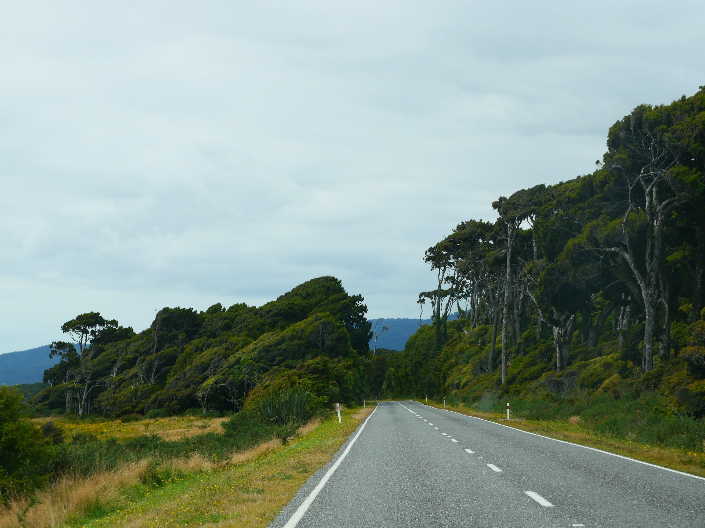
It had been sunny when we left Queenstown on the east side of the mountains, but was decidedly more cloudy on the west side and, as we made our way north from Haast up Highway 6, the coastal highway (actually the only roadway up the coast on this side of the mountains), the cloud cover closed in and then began to descend below the tops of the peaks to our west. Nonetheless, it was another beautiful drive with some stretches along the Tasmin Sea, but mostly more inland where it had a decidedly rain forest feel.

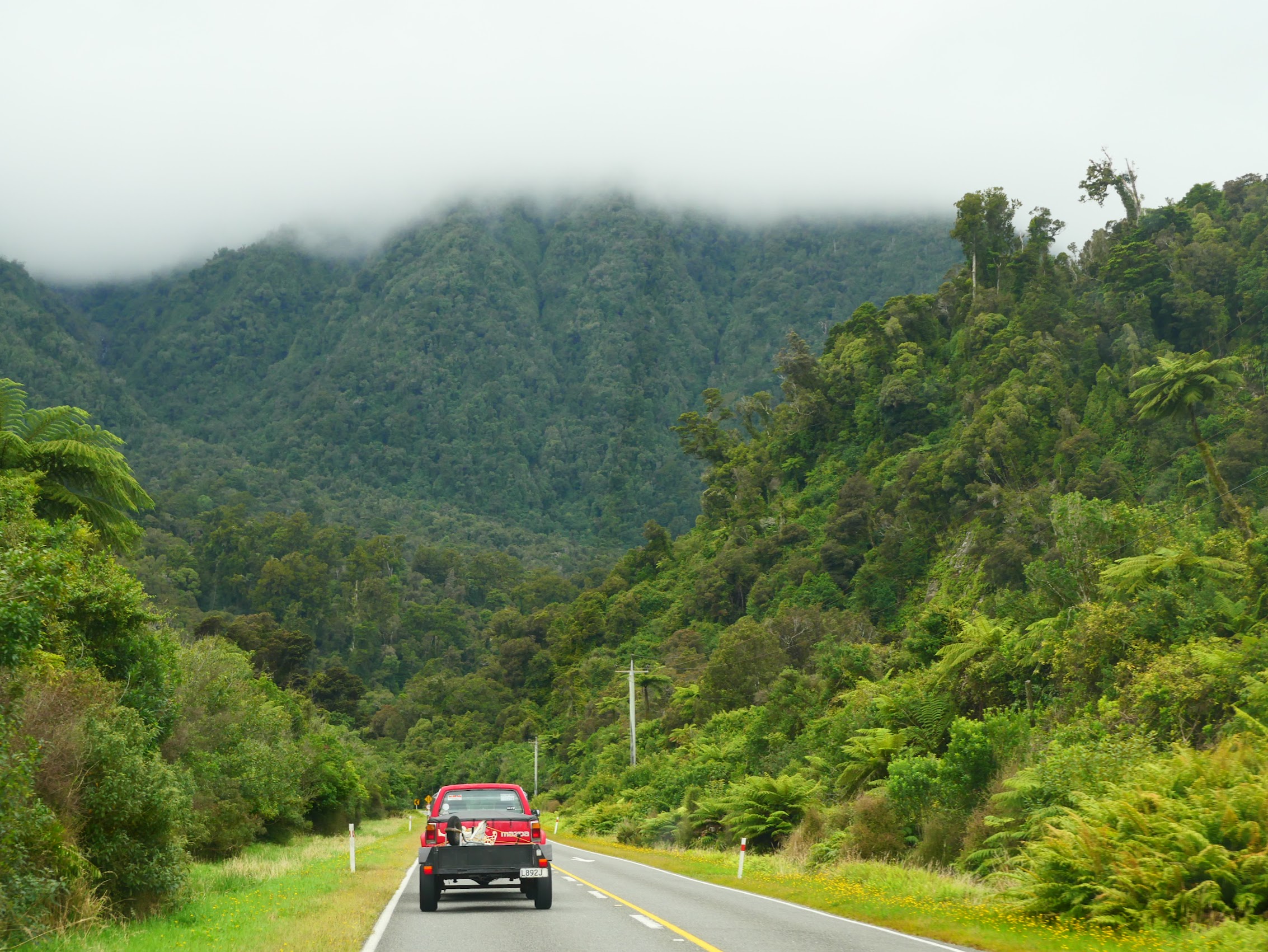

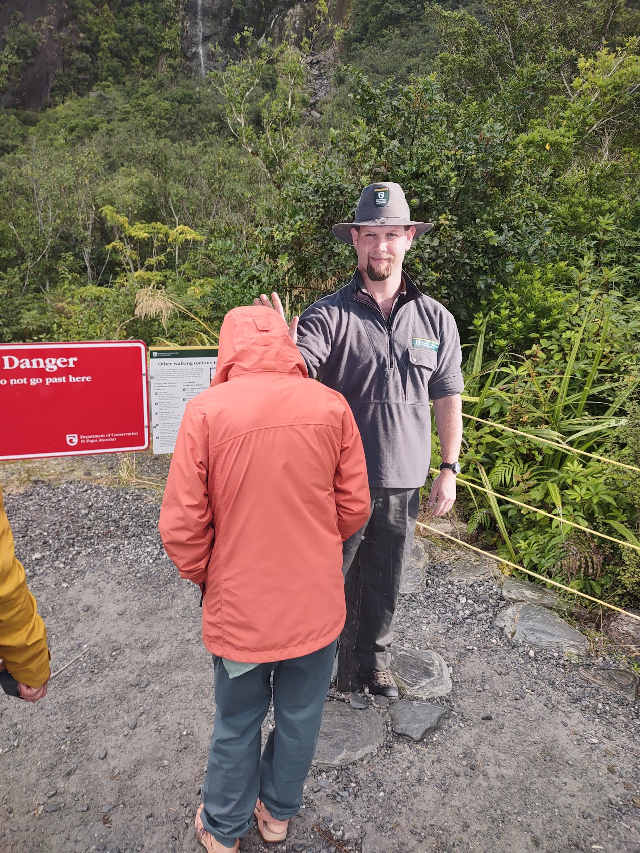
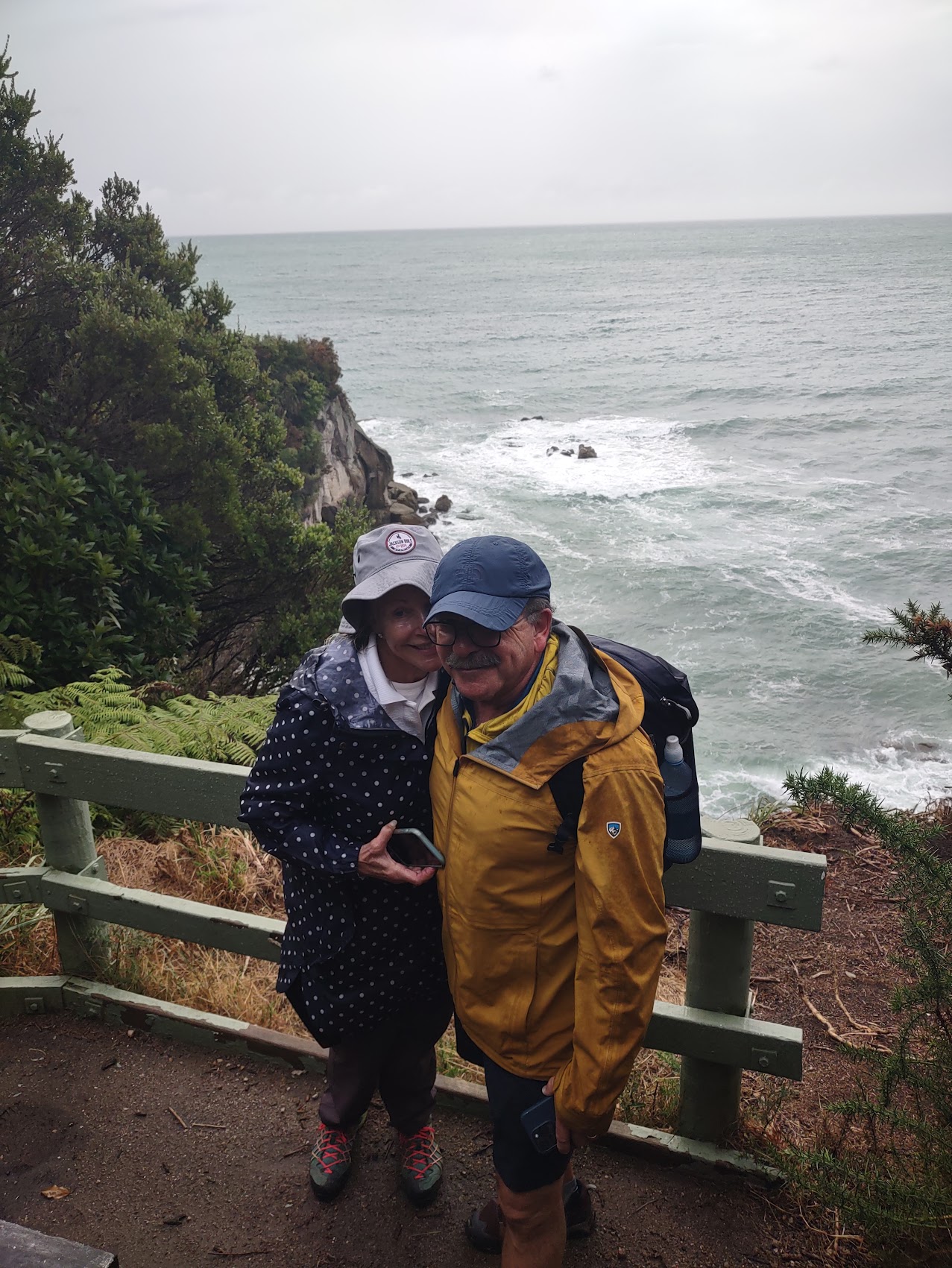
Thanks to a number of scheduled and unscheduled stops, we arrived in Franz Josef about 2 hours later than we had originally planned and so we decided to head directly to the glacier rather than to our hotel. It was drizzling a bit by the time we reached the Glacier Walk trail head but, with Colleen now sporting her new rain jacket, we proceeded ahead. After hiking about 2 kilometers up the Douglas Walk trail, we came to a barrier where we were advised by a stand-up Park Ranger figurine that the ongoing trail was closed due to dangerous conditions.

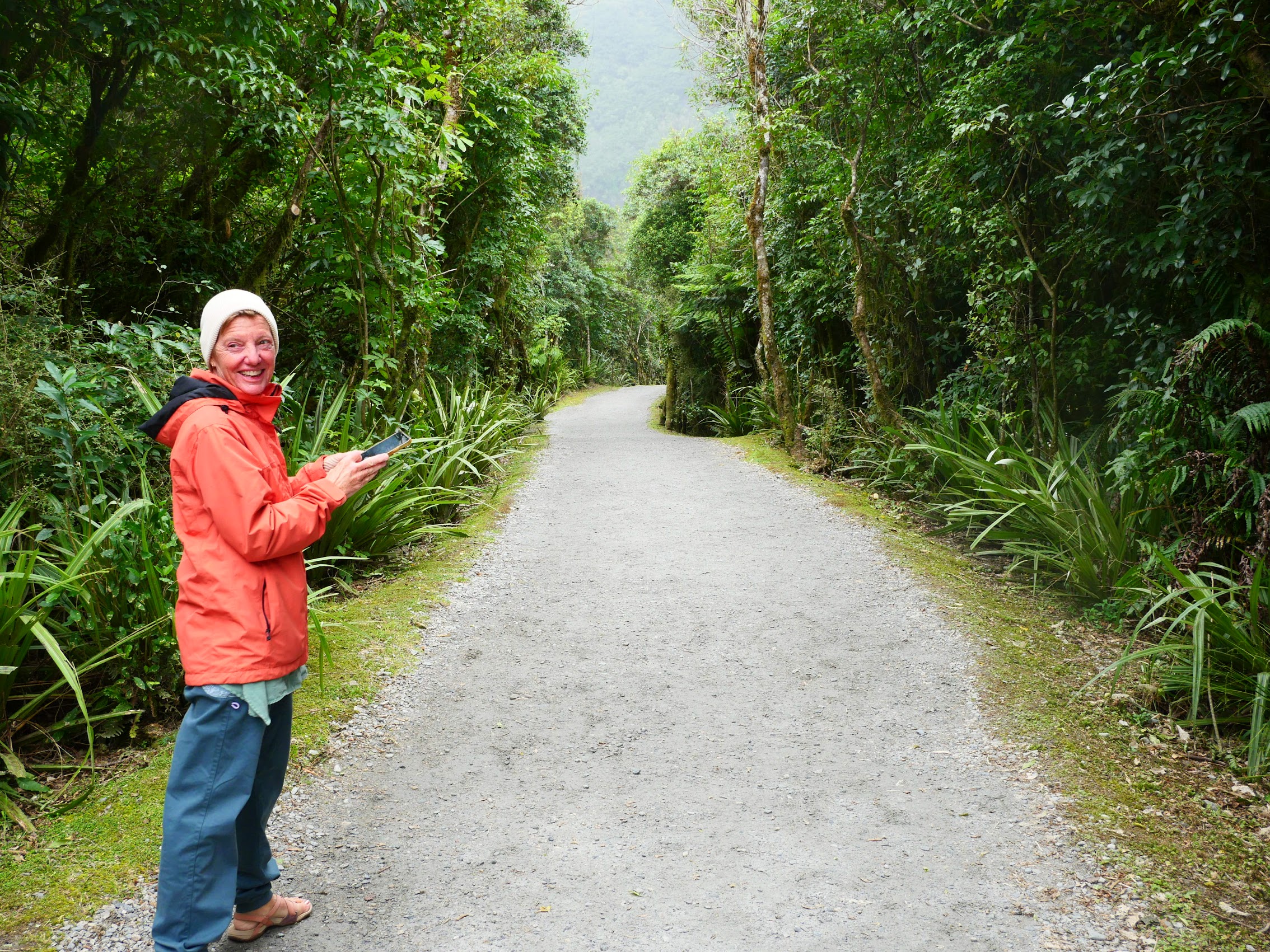
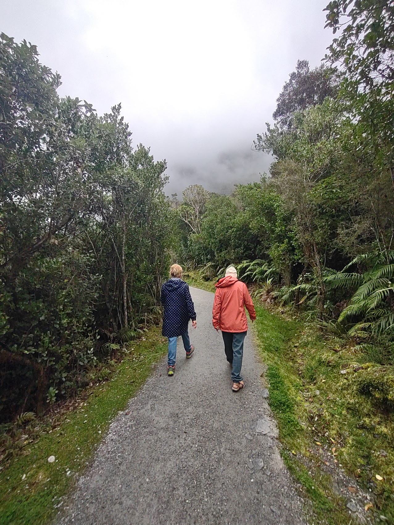
Unfortunately, due to the low cloud cover, the glacier was not visible from that vantage point, so we had to content ourselves with photos of the glacier’s “footprint” – the gravel-floored valley created by the glacier from which it has since receded. (Unfortunately, due to global warming, the Franz Joseph Glacier has lost about 800 meters in length over the last two decades and, in a mid-range scenario of warming, is predicted to retreat another 5 kilometers and lose 38% of its mass by 2100.)

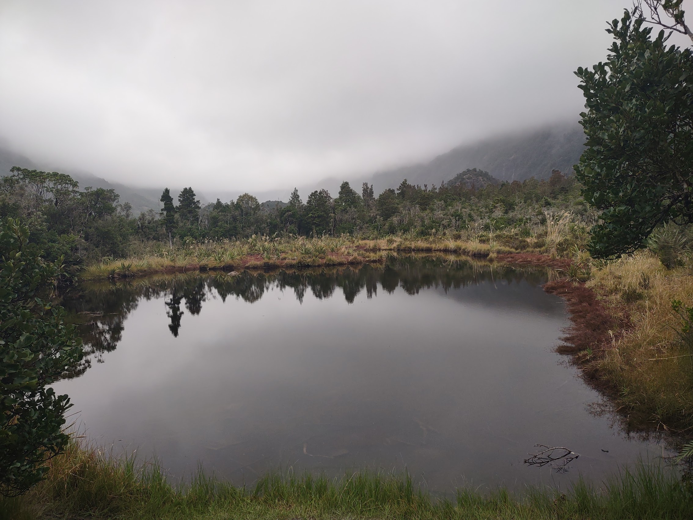
Given the time of day and conditions, we elected not to take the Roberts Point Track, an alternate route to the glacier up the opposite of the valley (a 5-1/2 hour round trip), and instead took another short walk to Peter’s Pool. Peter’s Pool is a small glacial pond formed by run-off from the Franz Joseph Glacier named after Peter Westland who reportedly discovered it while on a camping holiday with his mother and two sisters in 1894, when he was nine years of age. Even on a cloudy rainy day, it was a lovely spot and one can imagine how spectacular the reflections of the surrounding mountains and rainforests would be on a clear sunny day.
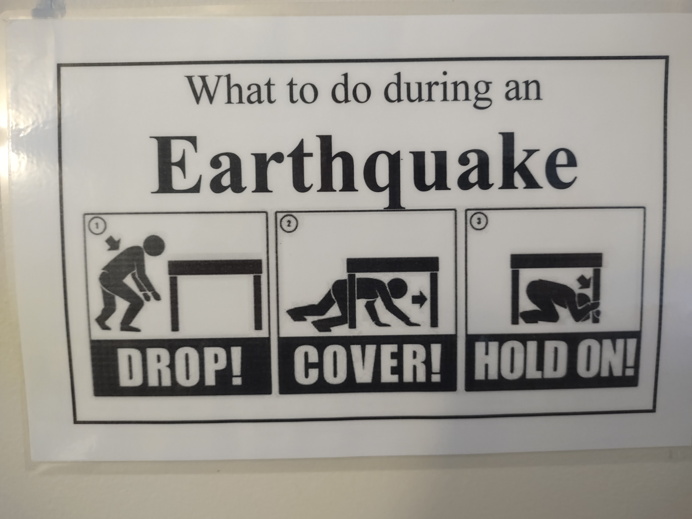
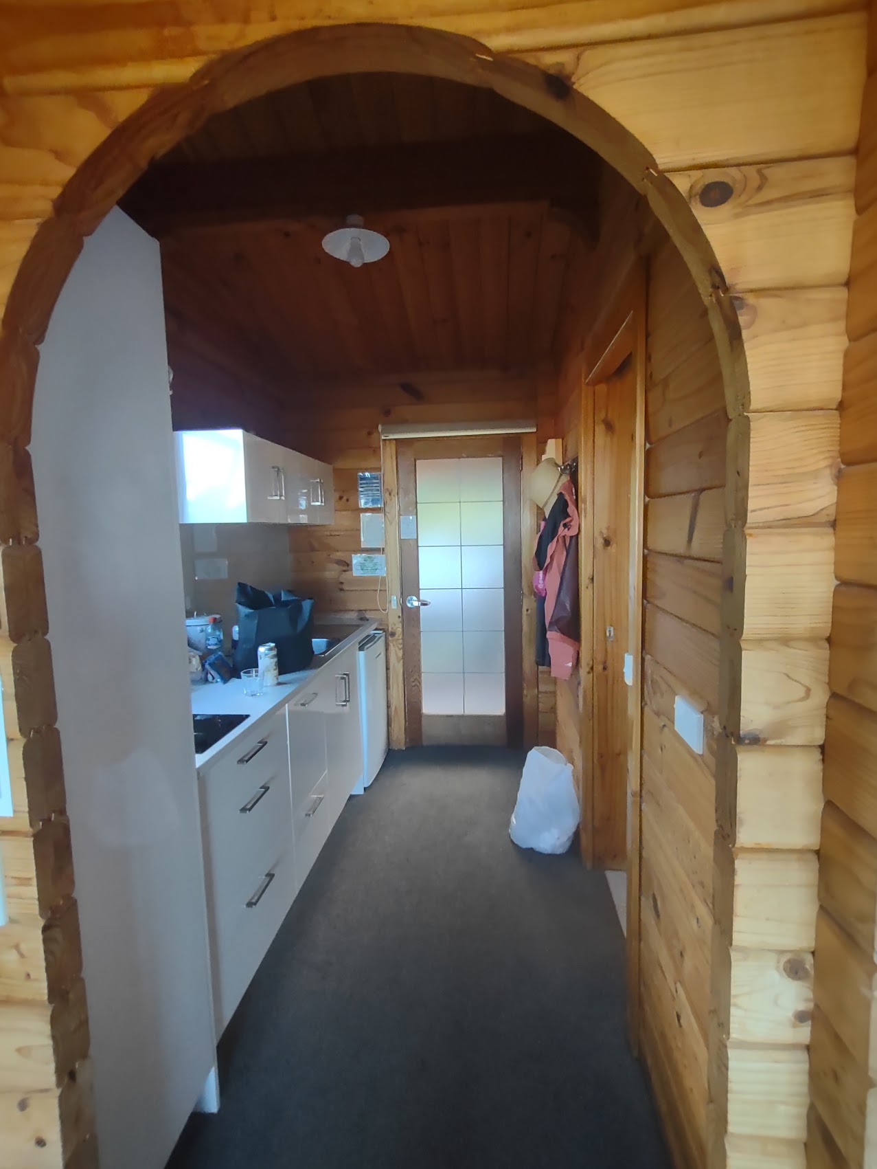
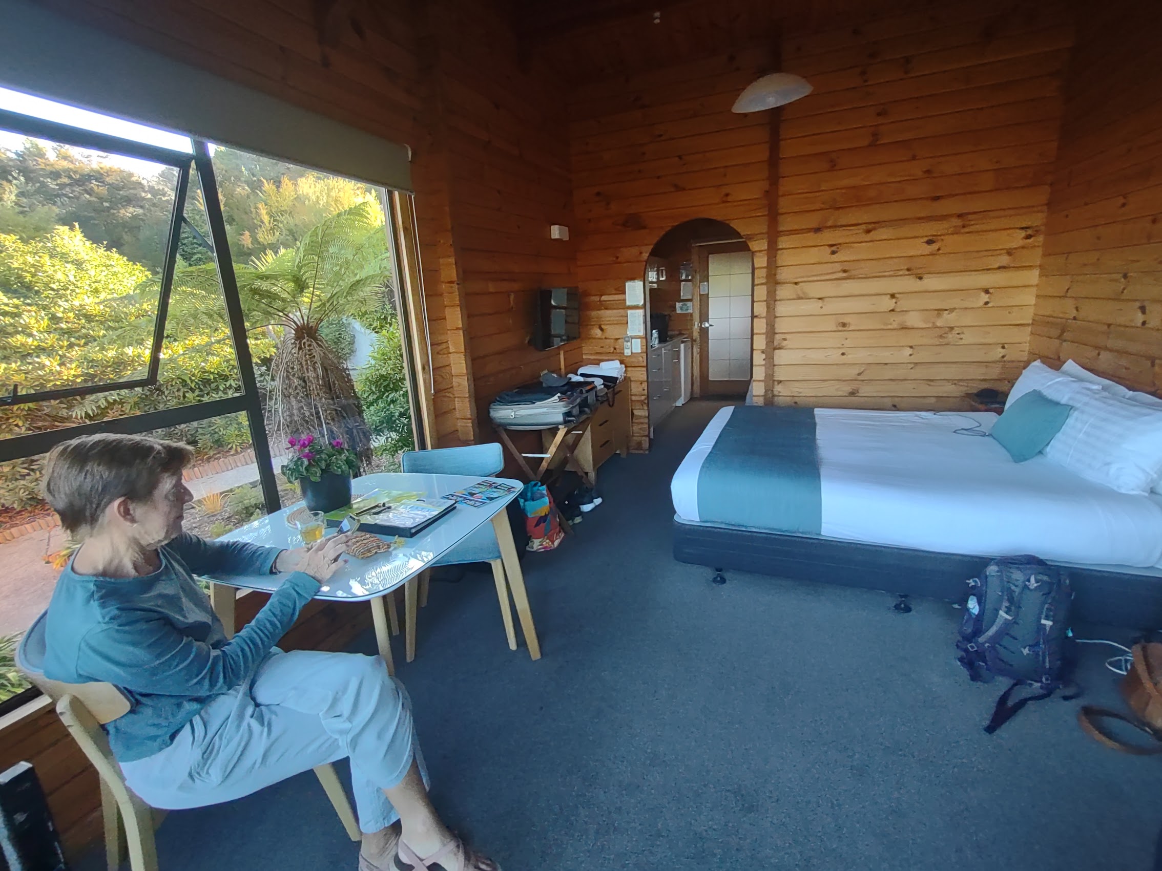
A little disappointed at not actually seeing the glacier, we drove back into the town of Franz Joseph to check into our next stay, two adjoining rooms in an interesting little place called the Alpine Glacier Motel. We checked into our rooms where we discovered emergency directions for what to do in the event of an earthquake (!!!).

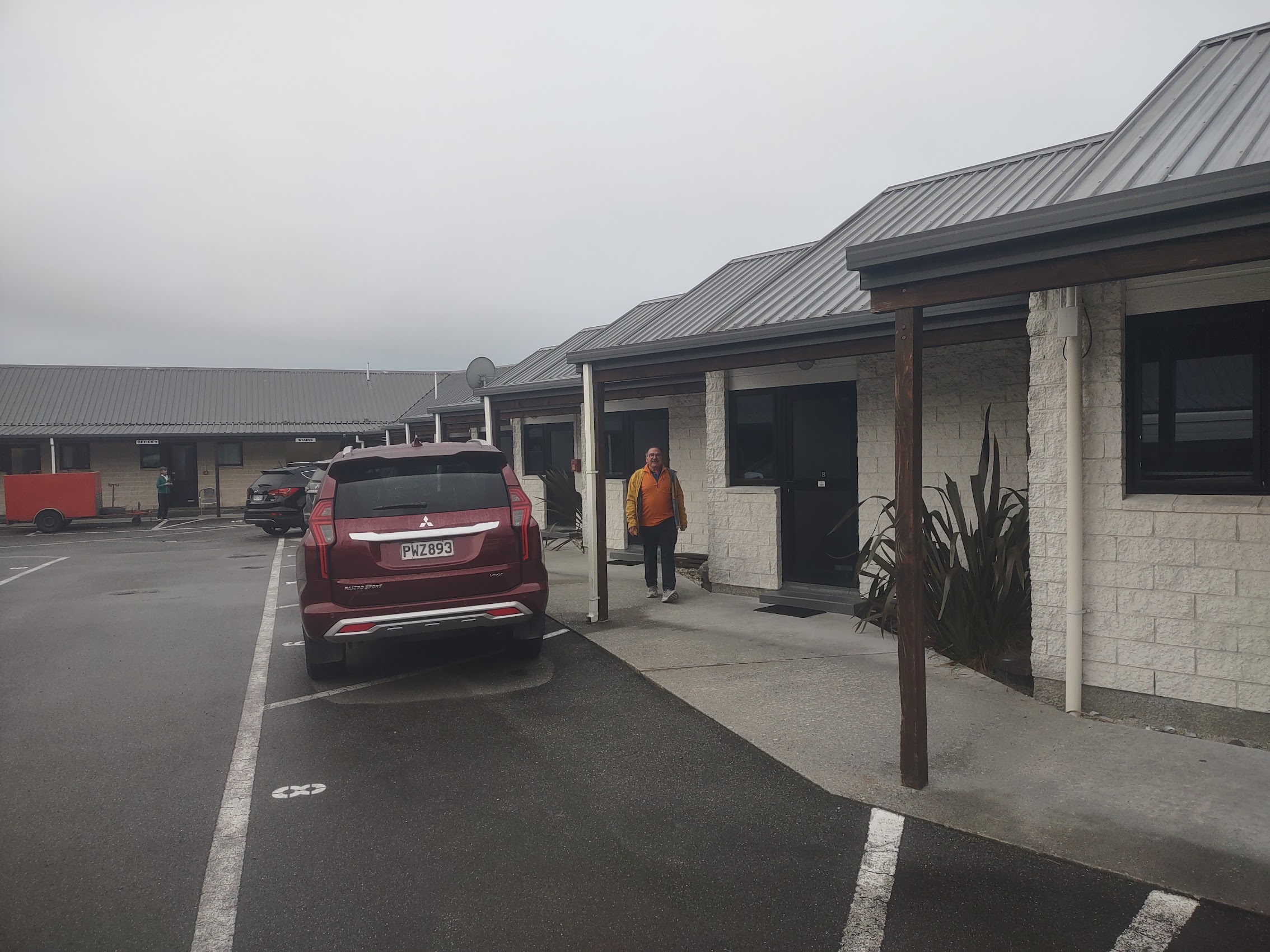
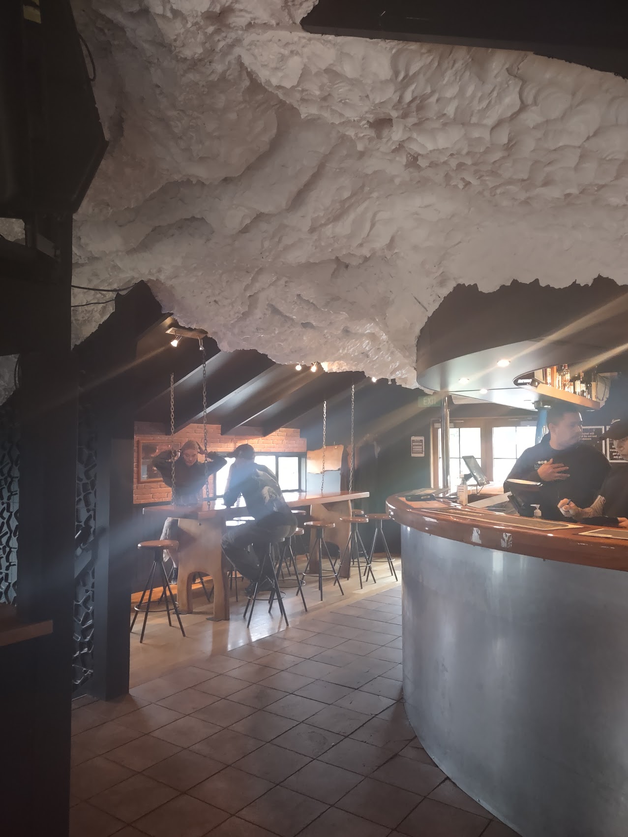
The town of Franz Joseph (population 550) consisted of about 3 blocks of commercial development, mostly restaurants and hotels (including our own) along with a few businesses related to outdoor sports and adventures a few small homes, cabins, and campgrounds surrounding it. After getting settled in our rooms, we had dinner at Blue Ice Restaurant and Bar around the corner from our hotel which had a strange (glacier like?) ceiling. As luck would have it, as we were leaving the restaurant a spot in the clouds to the south opened for one brief moment and we caught a glimpse of the upper glacier far up the valley, a nice ending to what had turned into a pretty dreary day.


Hokitika
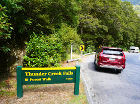
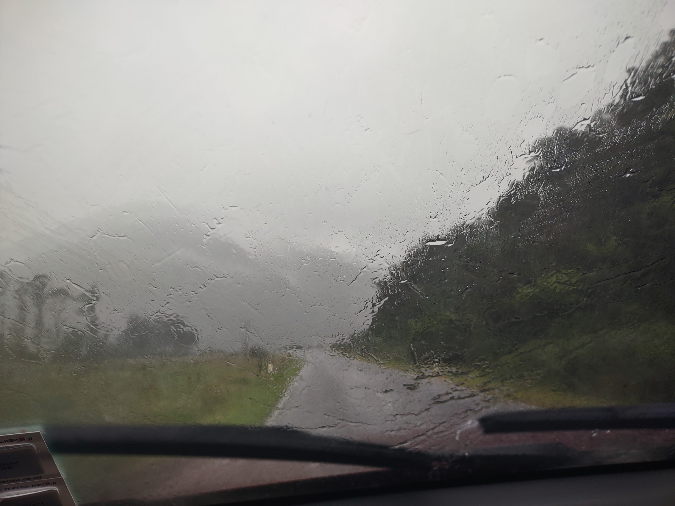
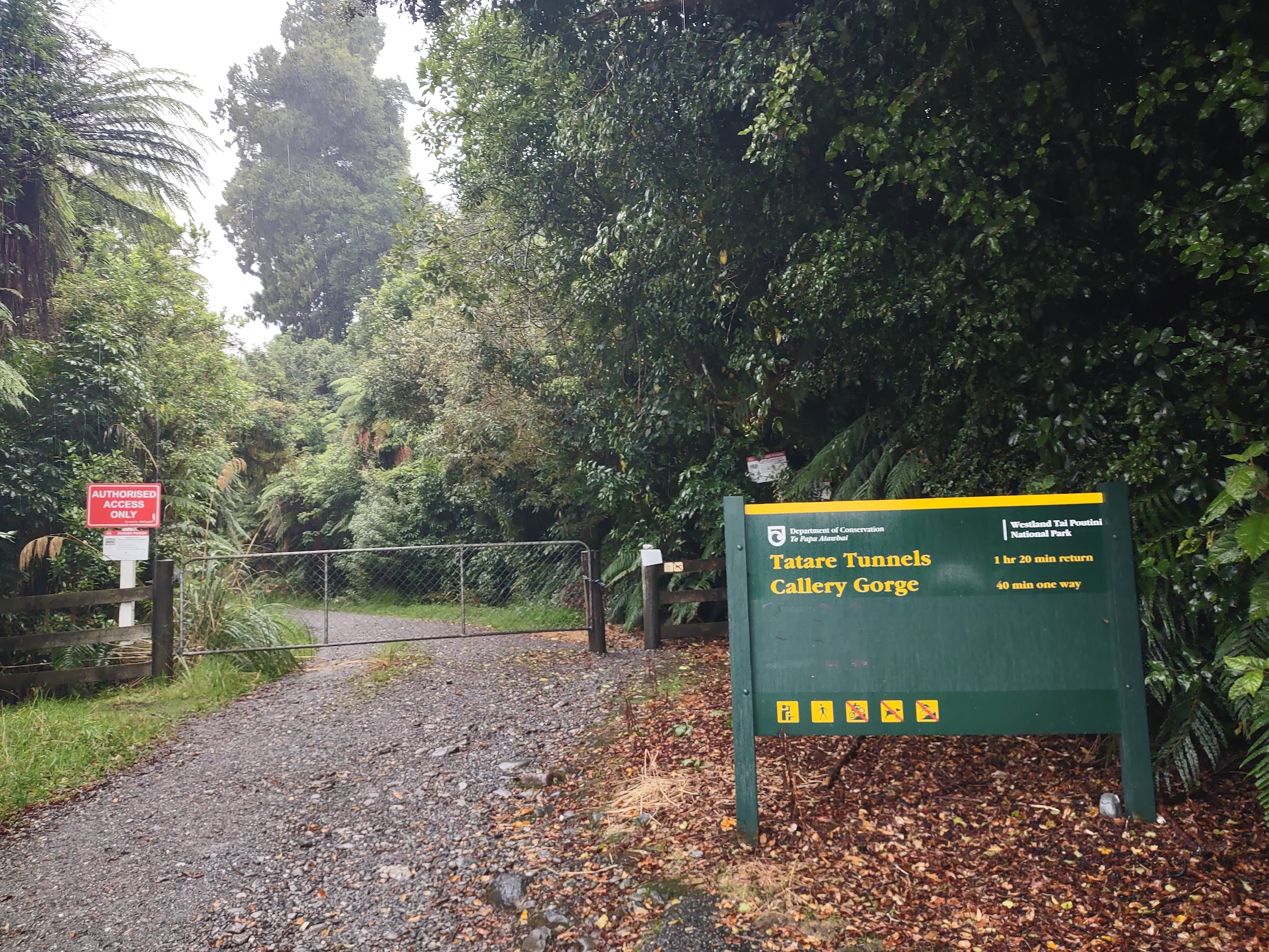
We woke to steady rains the next morning and grabbed a quick breakfast at a nearby bakery cafe as we watched the rain pour down outside. But undeterred by the weather, we donned our rain gear, and got on the road for a hike just outside Franz Josef called the Tartare Tunnels Walk. The Tunnels Walk climbs above the Tartare Gorge and includes a section of tunnels where one is able to see glow worms. Unfortunately, we found the trail closed when we arrived, so no glow worms (at least for the time being).
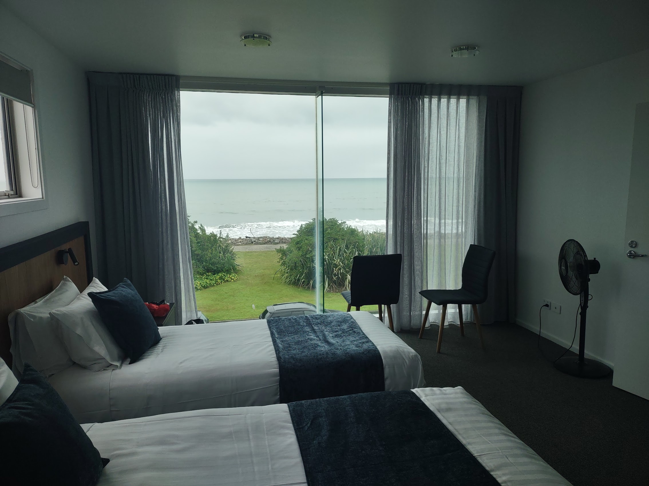
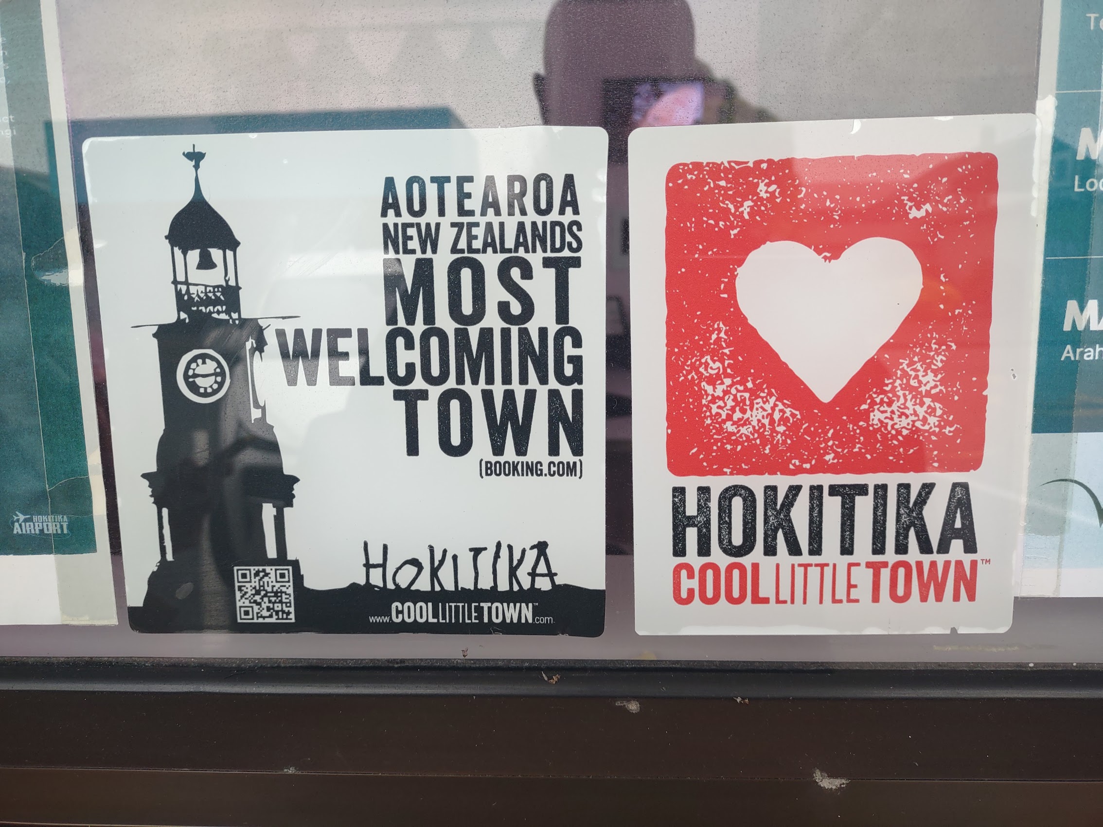
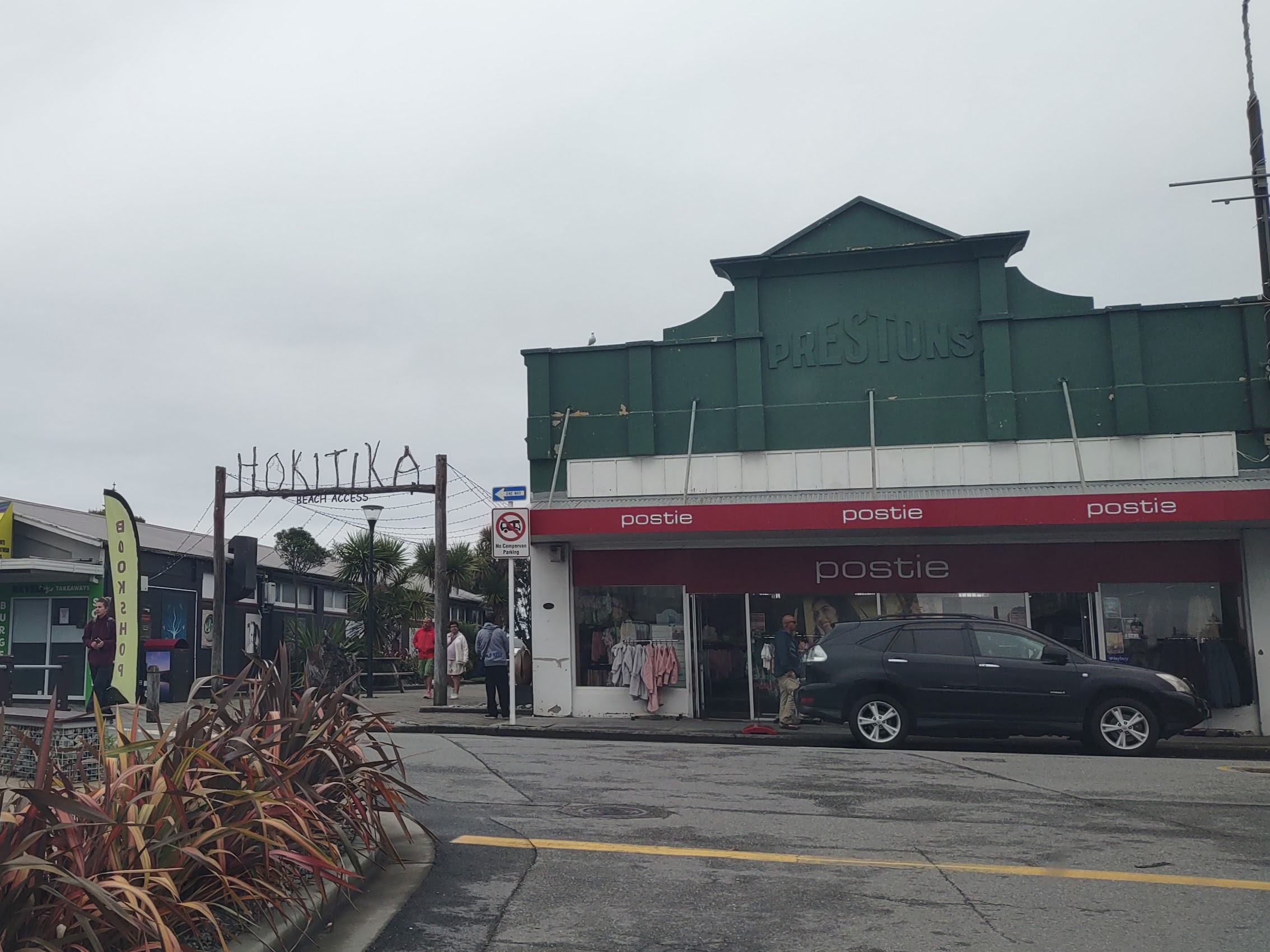
Spirits again a bit dampened, we continued our drive north up the coast to our next destination, the town of Hokitika (Ho-kee-tee-ka) with a population of about 3,200 which has branded itself as a “Cool Little Town”. (The link to the town website is coollittletown.com.) We arrived around 1:00 PM, earlier than planned, but were able to check into our hotel, a place called the Beachfront Hotel, where we had booked what we thought was a two-bedroom two-bathroom suite with ocean views. (Our most expensive stay on the South Island at $171 per couple per night!) While the ocean views were there, one of the two bedrooms served as the common space (surprise!), so you had to go through it to get to the second bedroom.
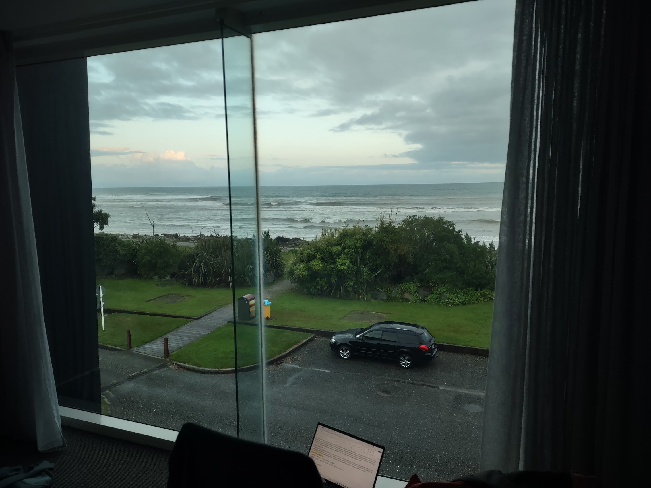
When we went back and checked the listing, we realized that it was billed as a “family room”. As there was nothing else available with an ocean view, we accepted the circumstances and Colleen and I took the “kids room” while Denny and Wendy played the role of the parents in the larger common room. (No sneaking out after dark!) A little awkward, but we made it work. The view of the Tasman Sea from our balcony helped.
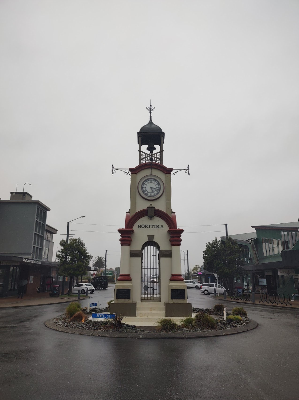
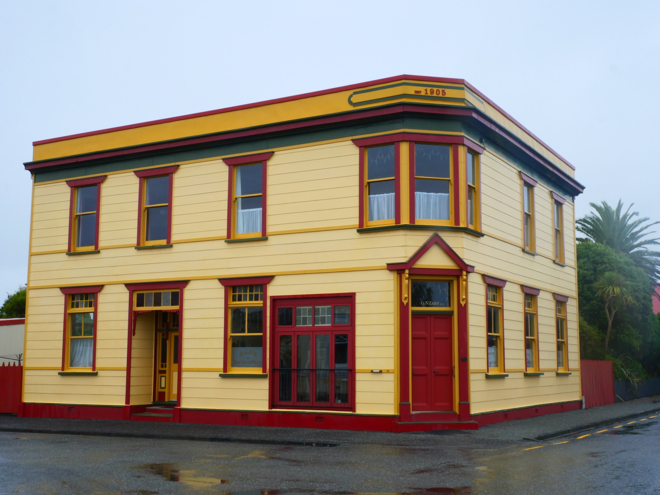
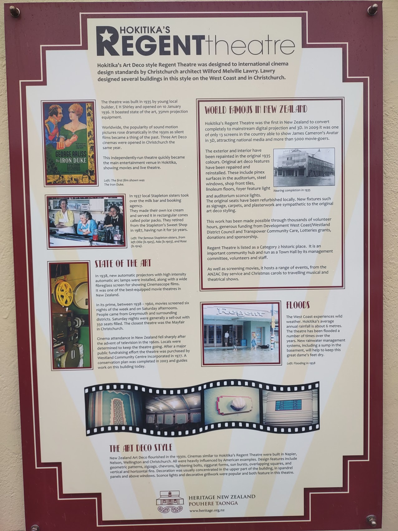
We had lunch at a quaint place called Stumpers Bar & Café (seafood chowder and carrot cake for me) then, despite the off and on rain, set about to explore the town. Hokitika did turn out to be a pretty cool little town due to both its rich history as well as a strong local art scene. The town had a number of beautifully maintained historic structures including an art deco movie theater (The Regent) and a memorial clock tower dating back to 1903.

The town also had many cool little restaurants and shops. We managed to restrain ourselves for the most part but did buy a beautiful little glass sculpture at a place called Hokitika Glass Studio. The Owner felt very strongly about the work that she sold to the point that I felt like I had to undergo a background check before I could make a purchase. (I think I offended her when I tried to determine how big the piece would be after it was wrapped and her answer was more or less “as big as it needs to be”.)


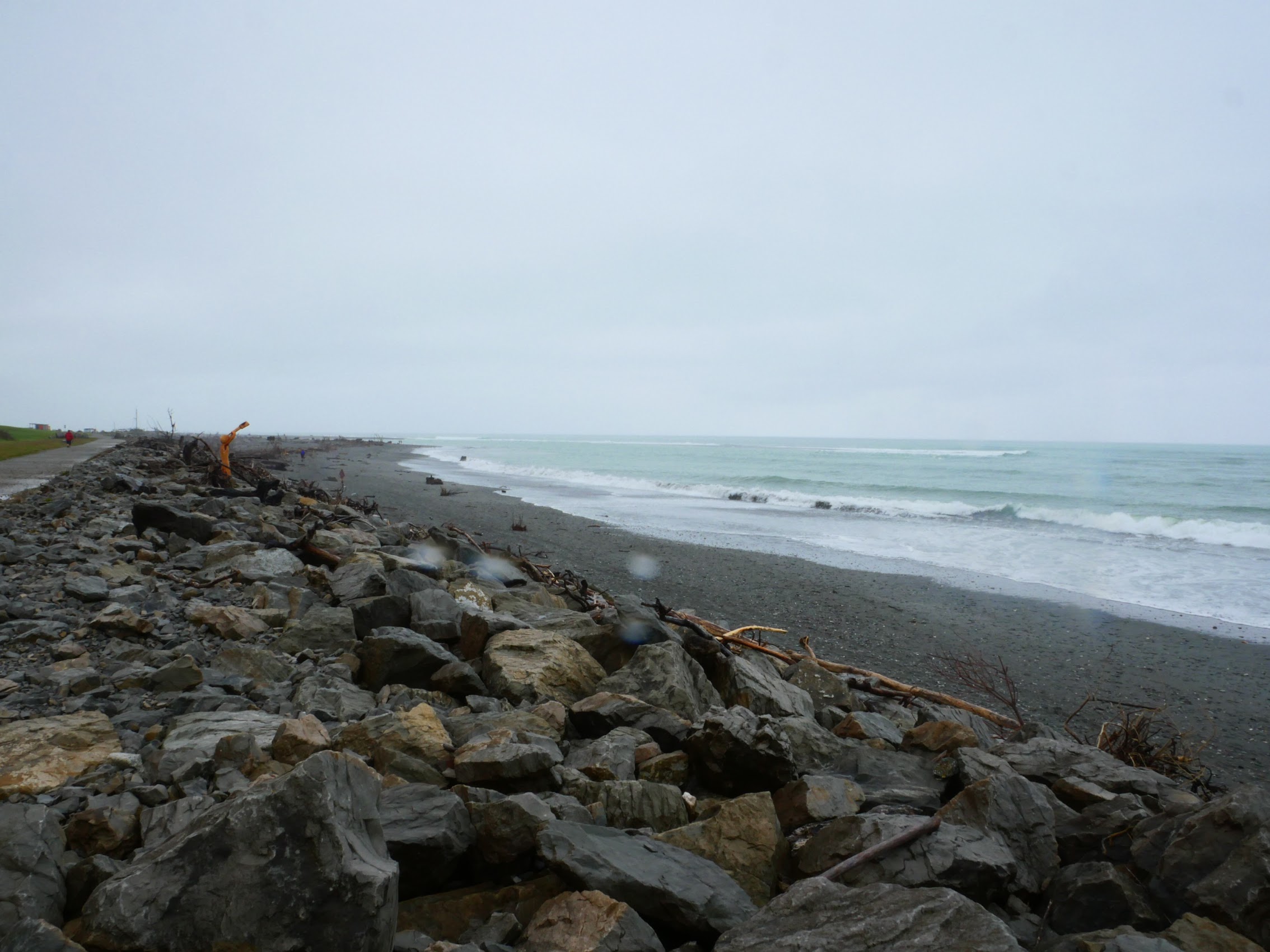
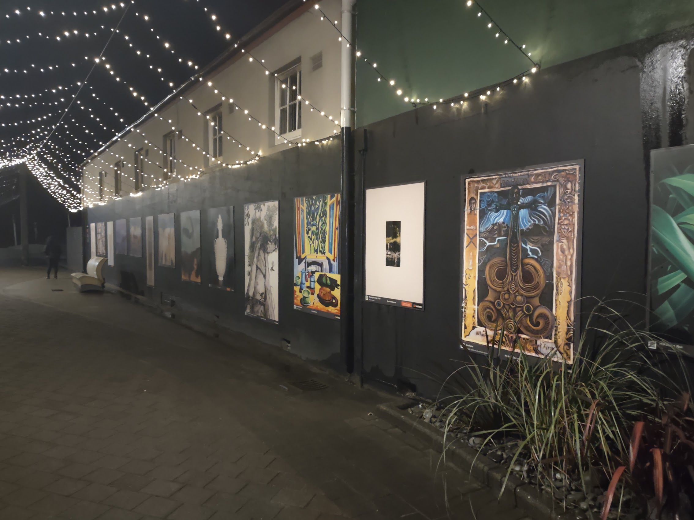
We did visit the Hokitika beach, which is probably very nice when it is sunny, but today was not that day. After all these wanderings, we caught back up with the Maddens and had a very good seafood dinner at a cozy place called Thatcher & Small (seafood chowder and mussels). We passed a cool outdoor art gallery with some beautiful paintings and sculptures on our way back to The Beachfront Hotel where Colleen and I were confined to quarters until morning by Mom and Dad.


The Road to Abel Tasman
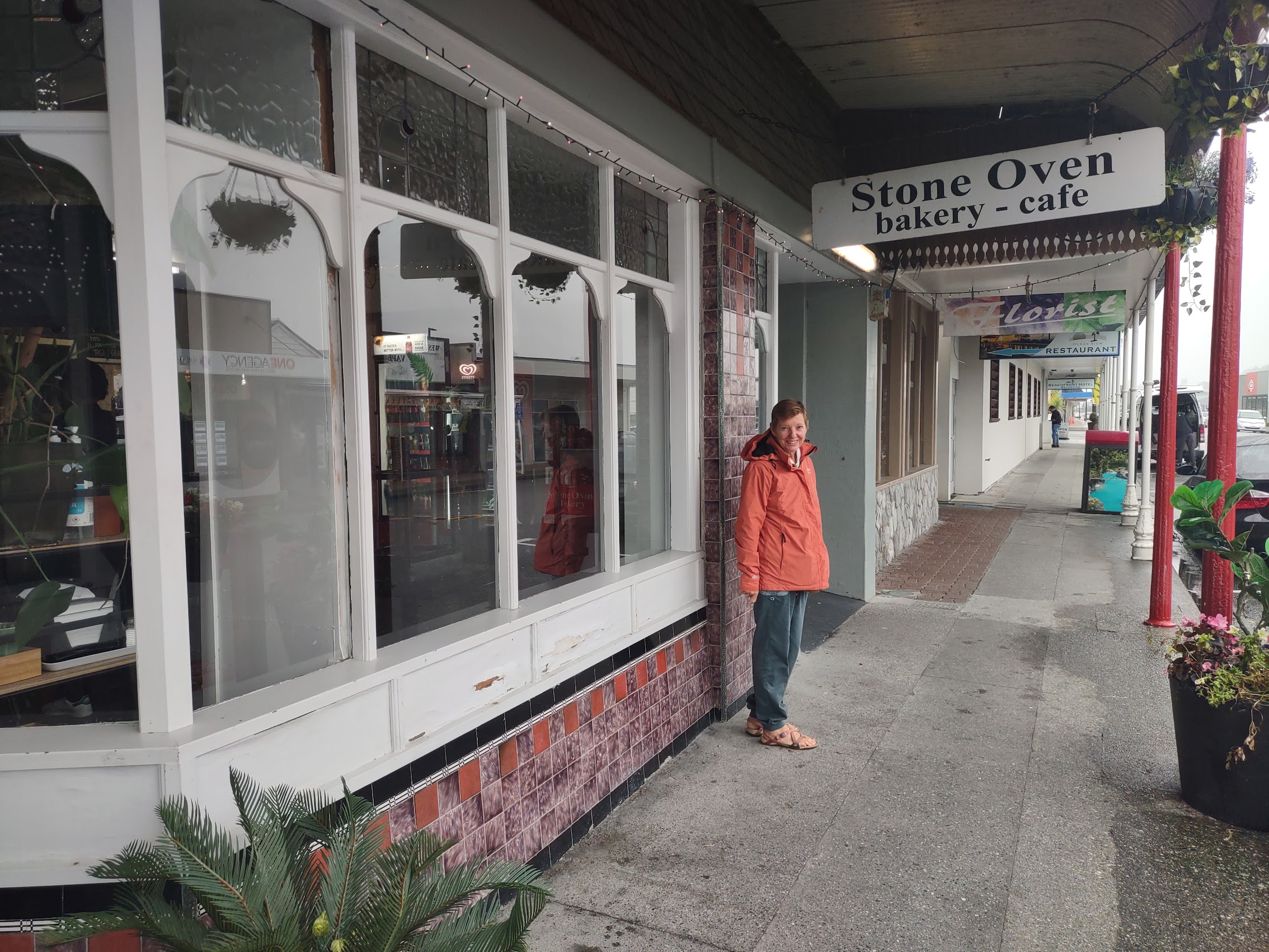
We woke early the next morning to clearing skies and grabbed breakfast at the Stone Oven Bakery Café near the hotel before getting back on the road for what promised to be a pretty long day. We had about a 4-1/2 drive north to a legendary place called Abel Tasman National Park with a couple of stops along the way.

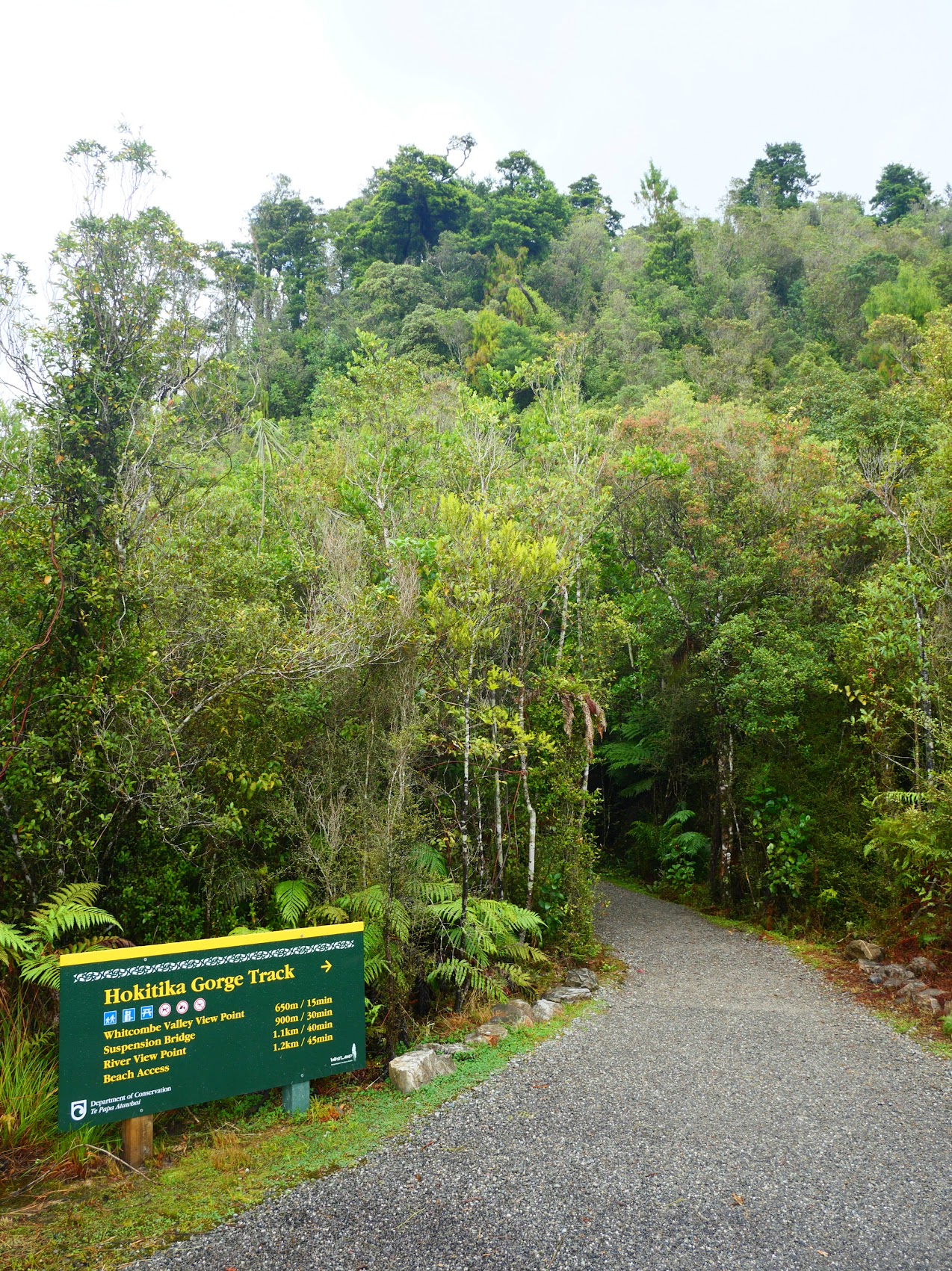
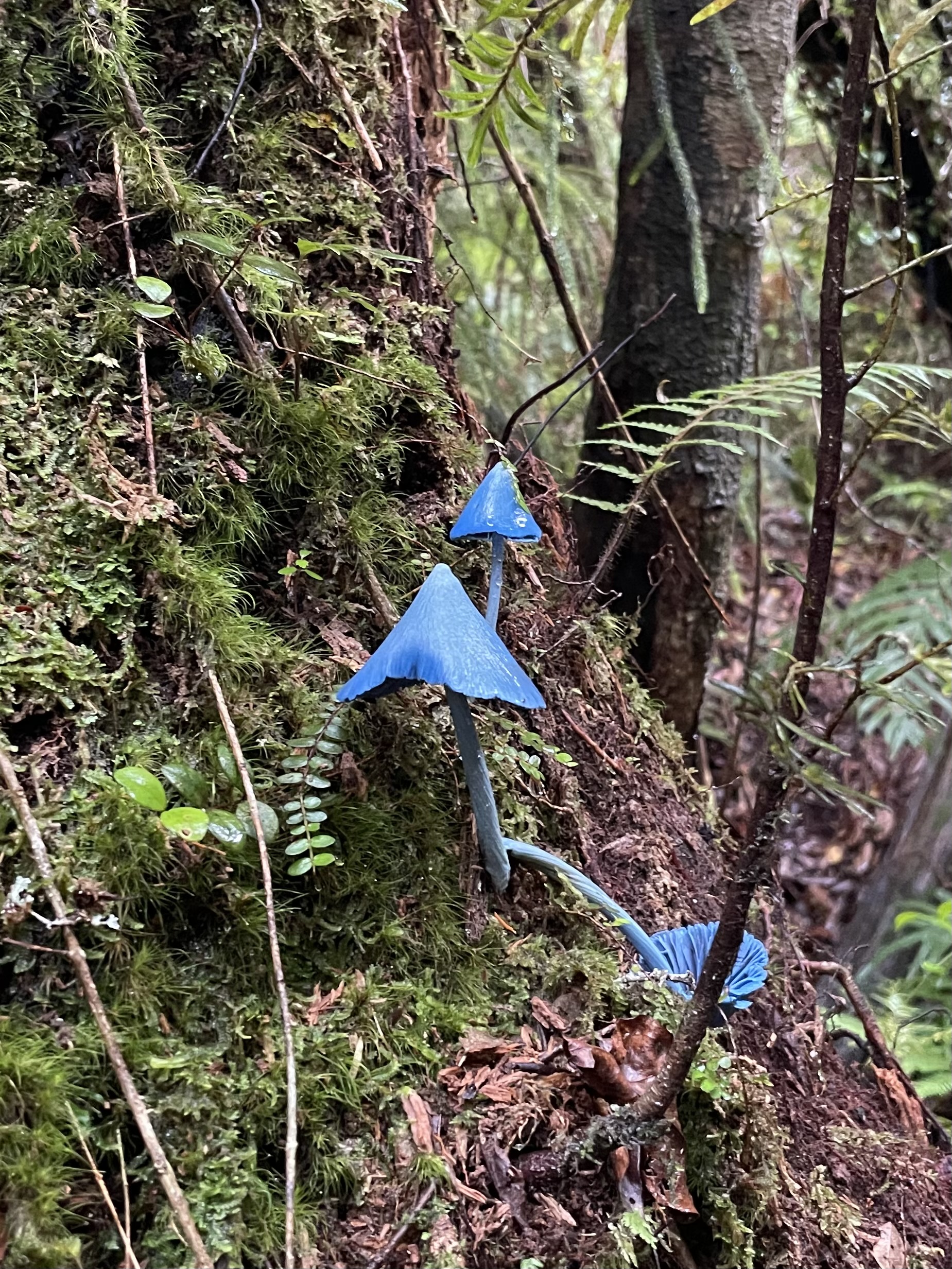
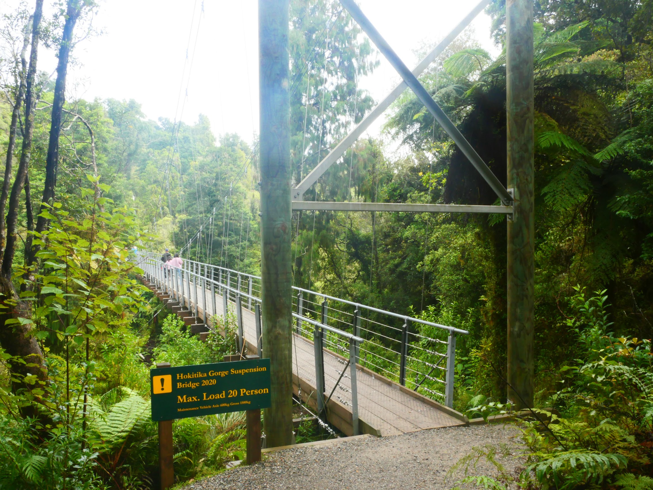
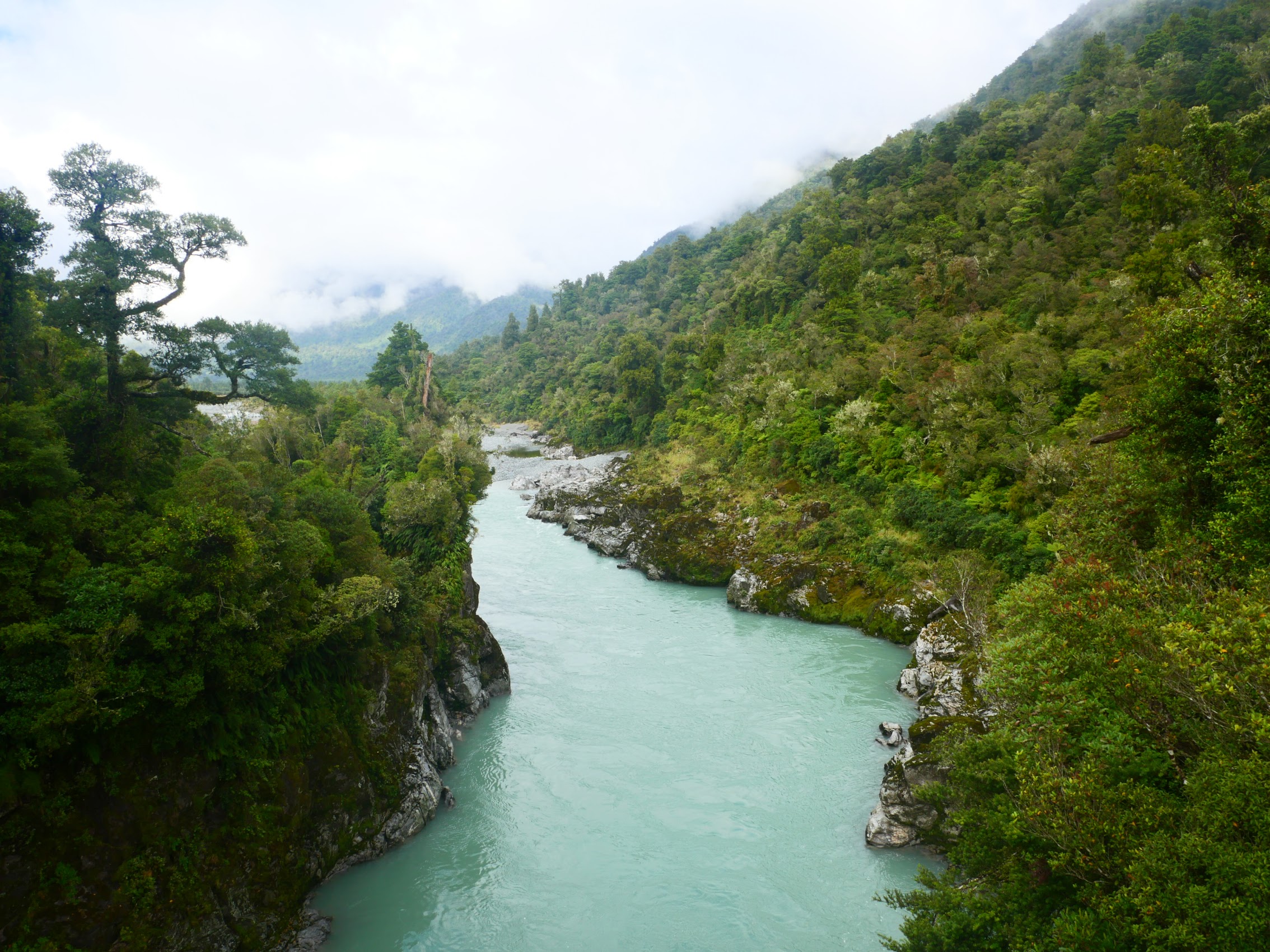
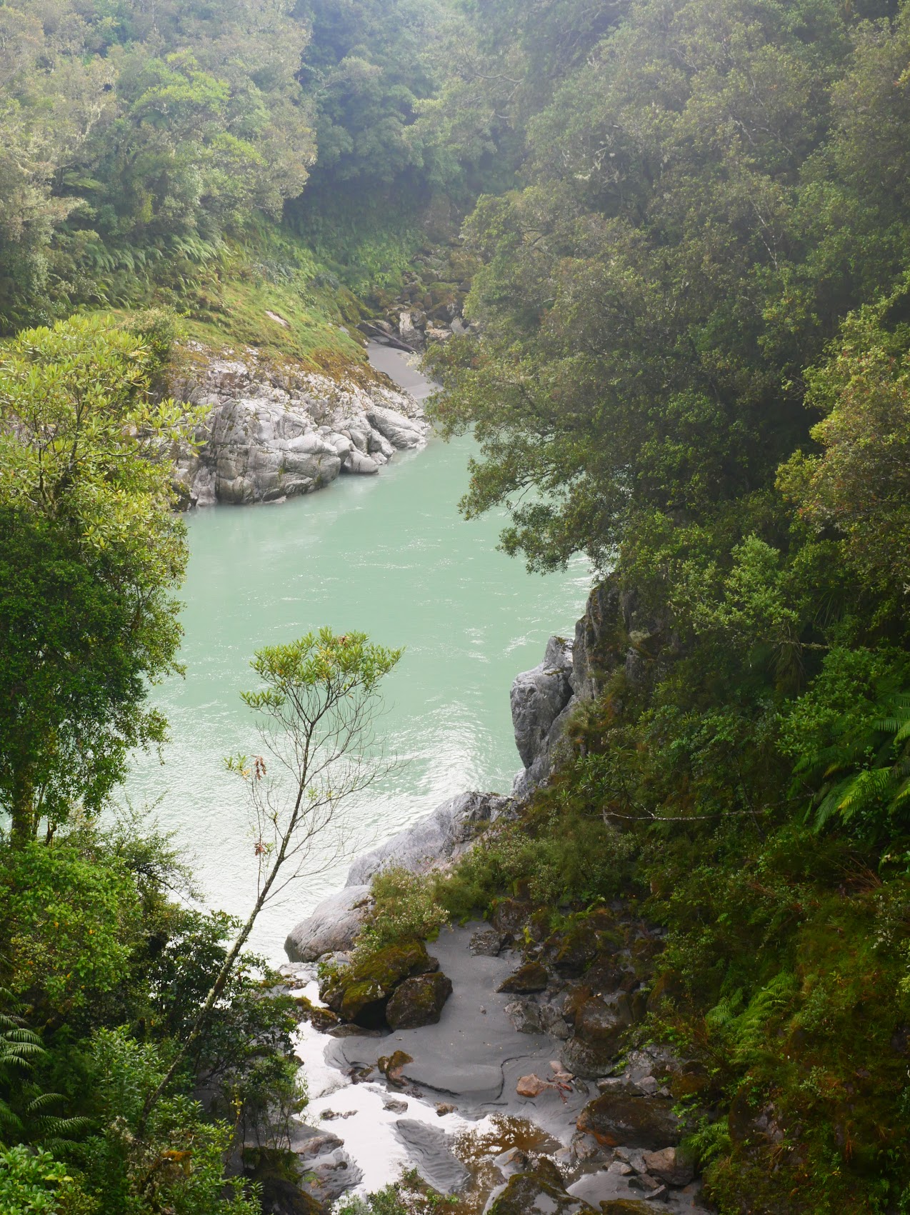
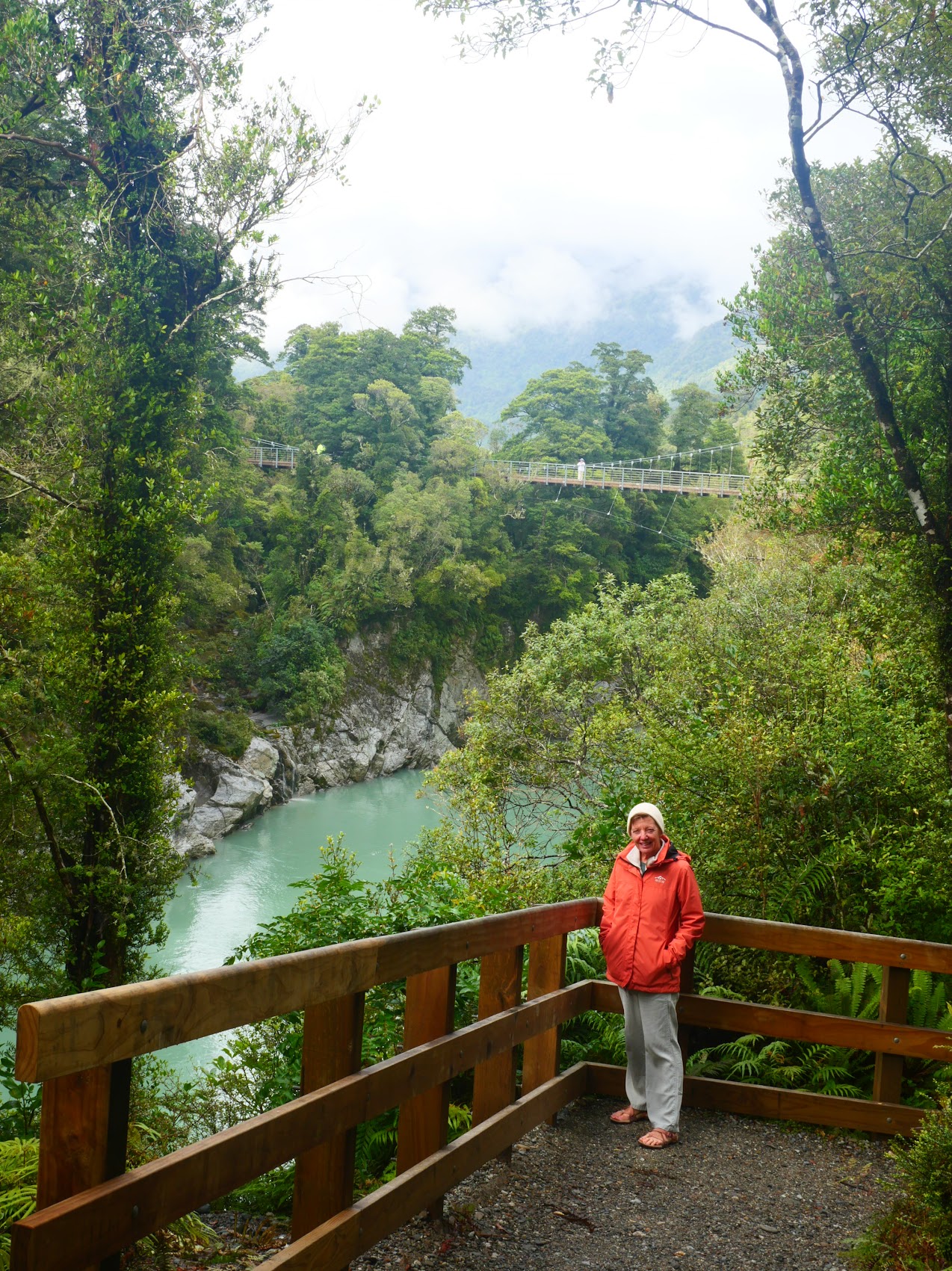
Our first stop was the Hokita Gorge Track, a hike up the Hokitika River which, due to the presence of “glacier flour” in the water, has a turquoise blue color. The trail wound through what felt like a primordial forest for a bit and along the way we spied what was probably the most unusual fungus we have ever seen, something called a Sky Blue Mushroom.


After perhaps 30 minutes of hiking, we emerged from the forest at a bridge which gave us views up and down the river and led to a series of overlooks along the gorge, eventually descending to a small beach and a very large rock which provided some spectacular views of the gorge.


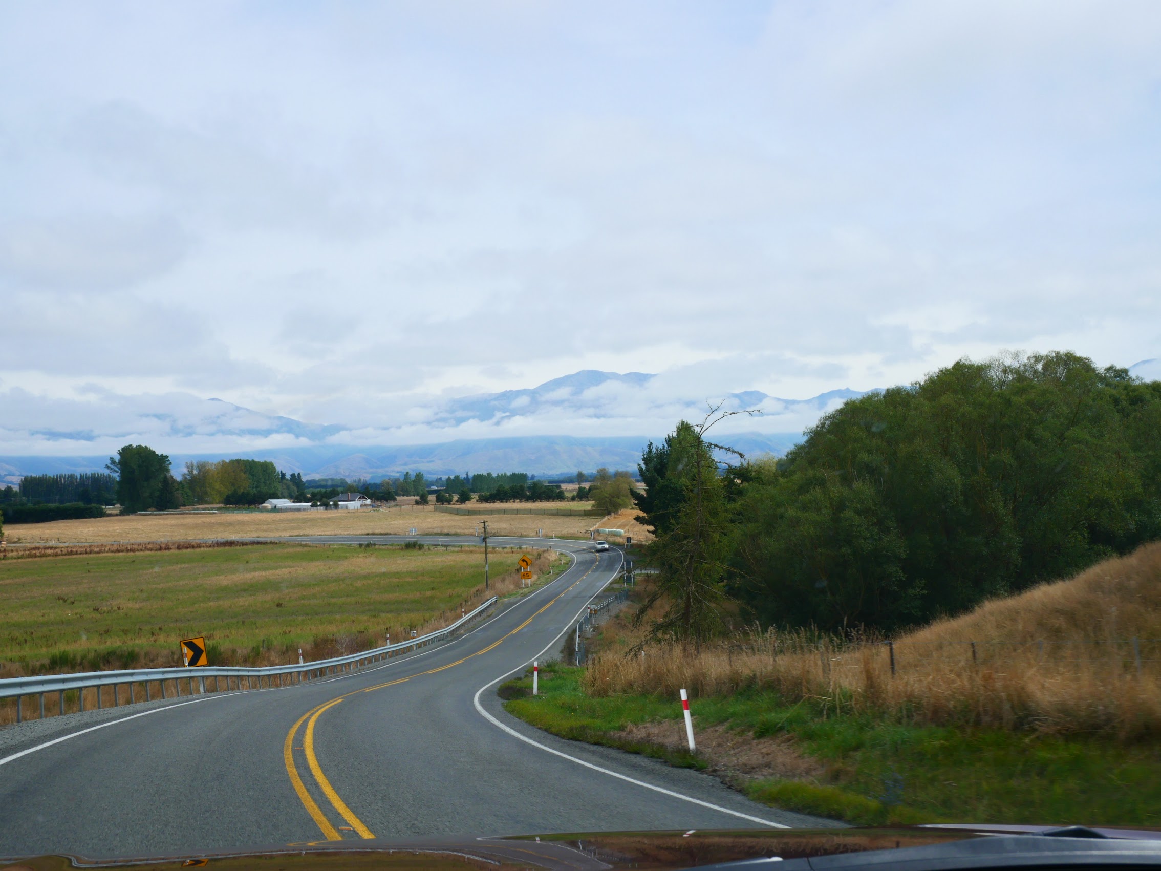
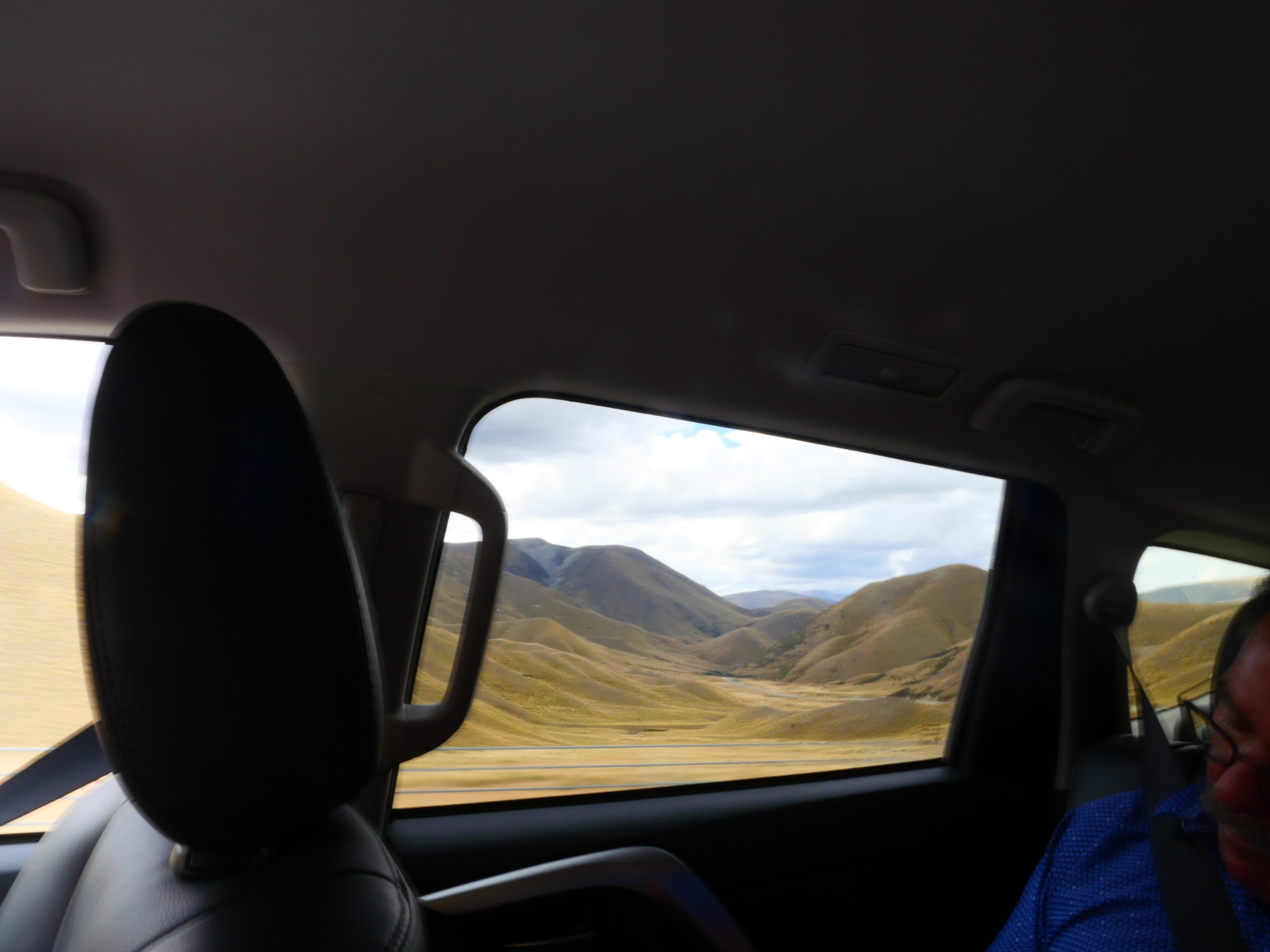
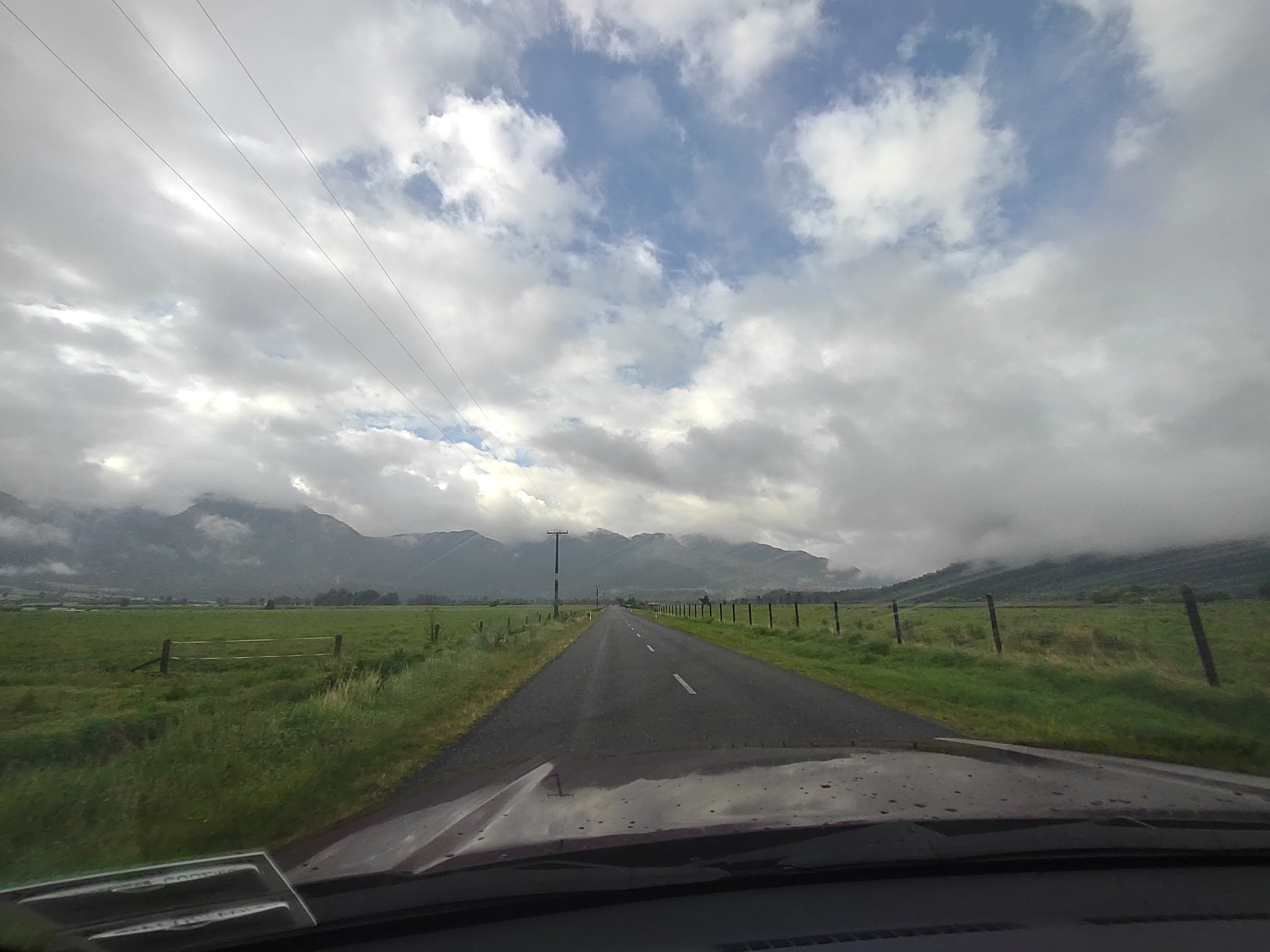
We made our way back to the car and headed north along the coast on Highway 6 for a bit before turning inland on Highway 7 near a town called Greymouth. The terrain became more gentle with the Southern Alps behind us, but the beautiful scenery continued through hills and across wide valleys past old farms with an occasional small town. As we continued north, the cloud cover began to break up a bit with the sun and blue skies peeking through.
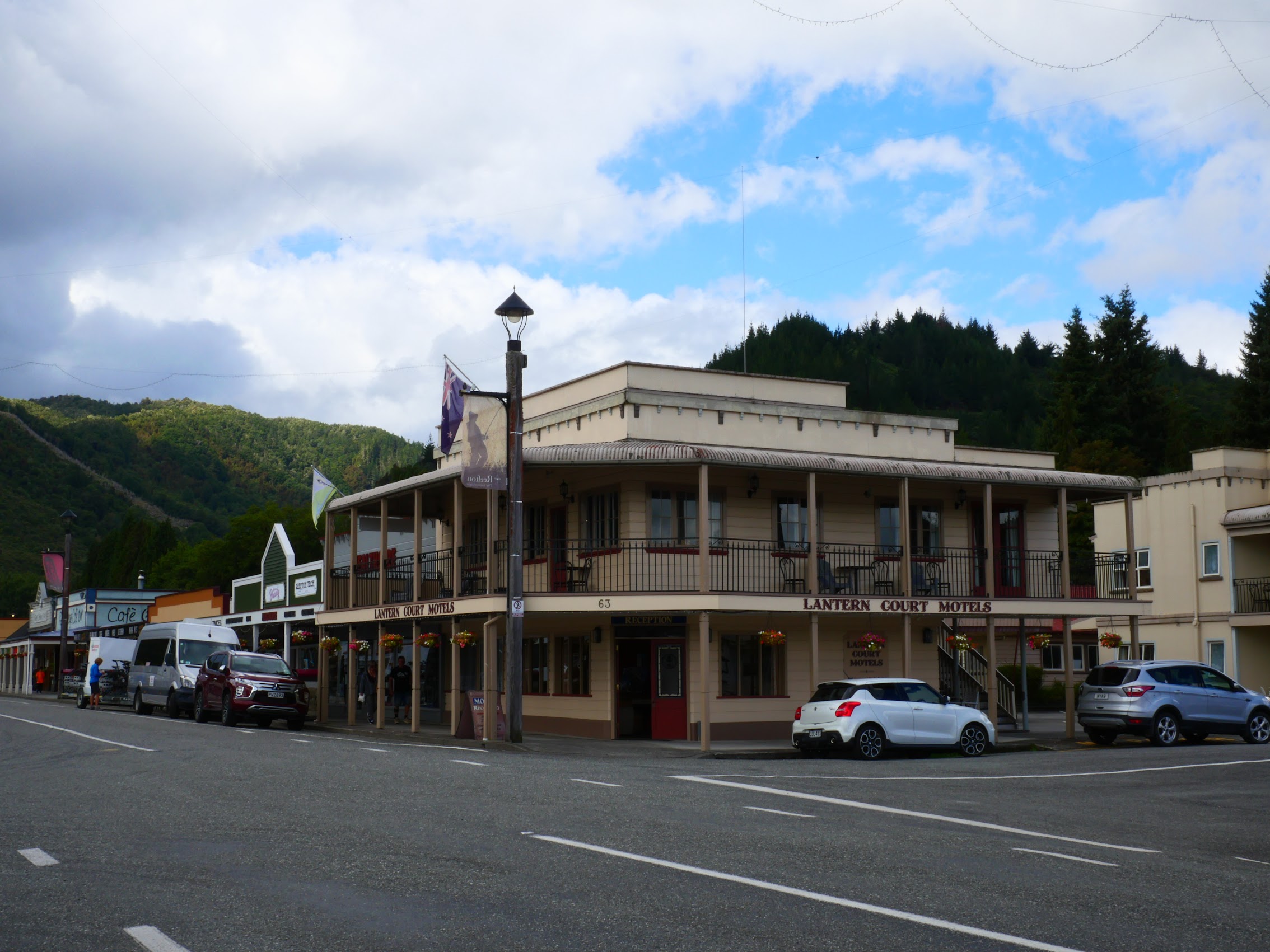
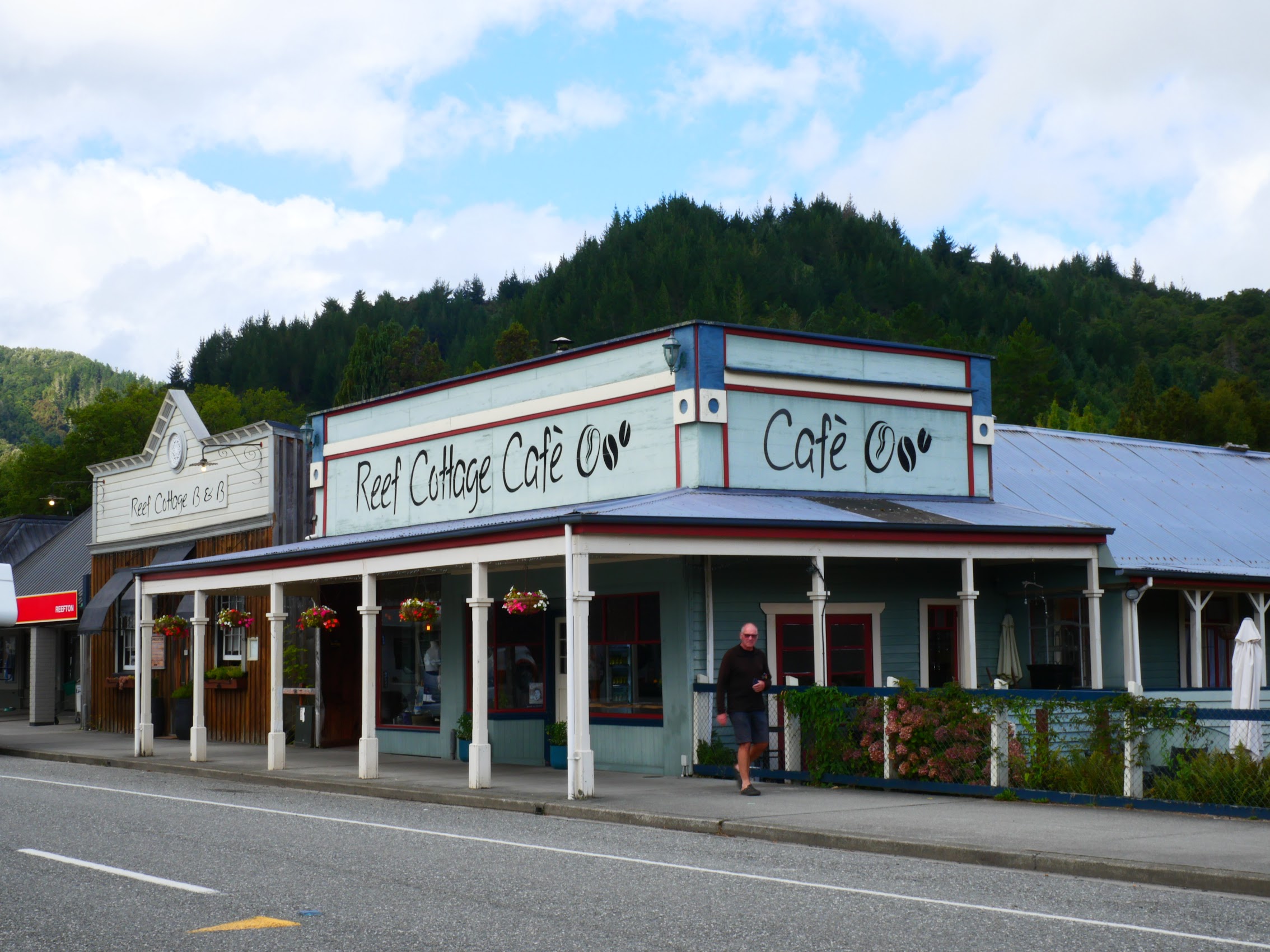
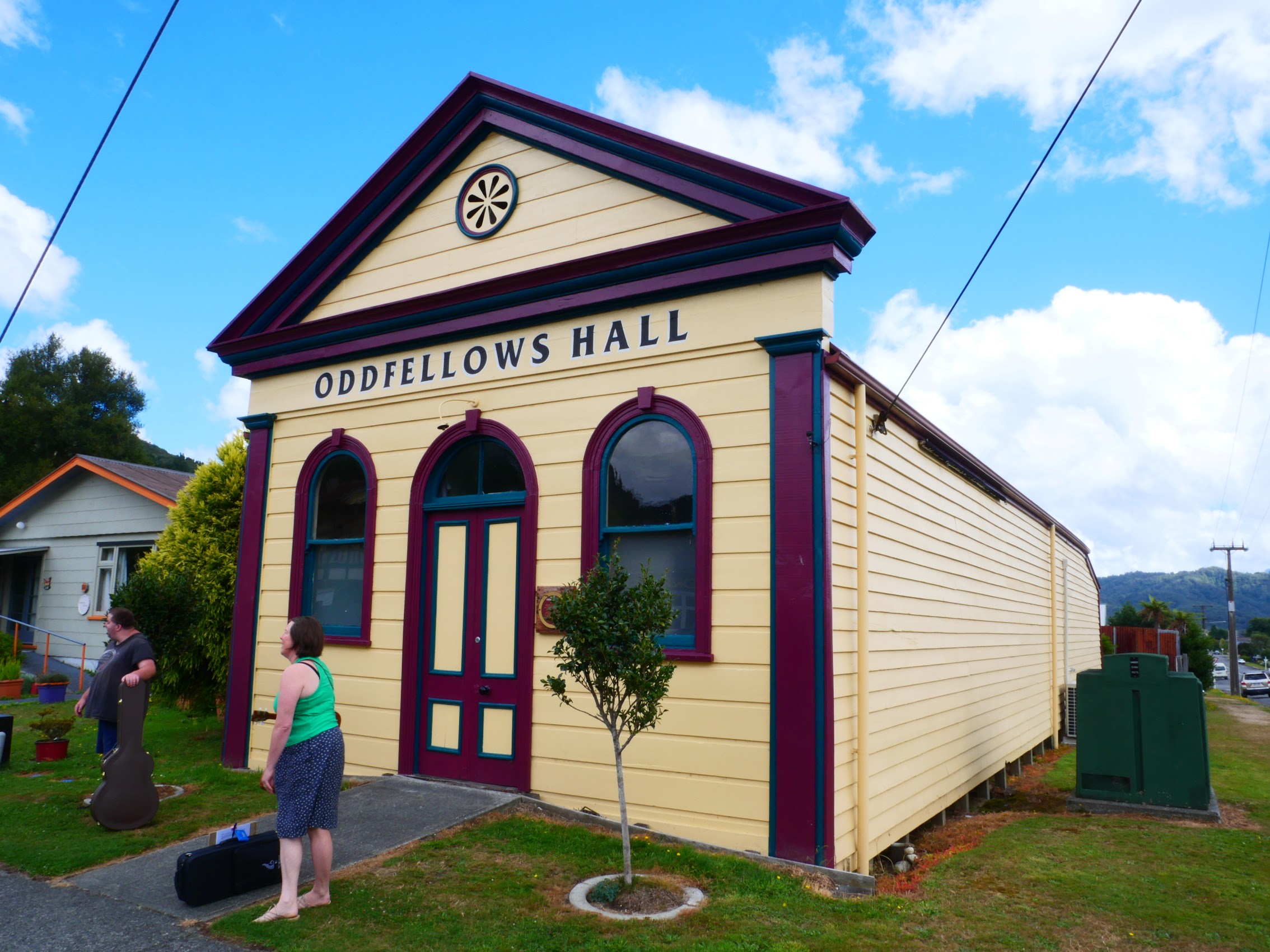
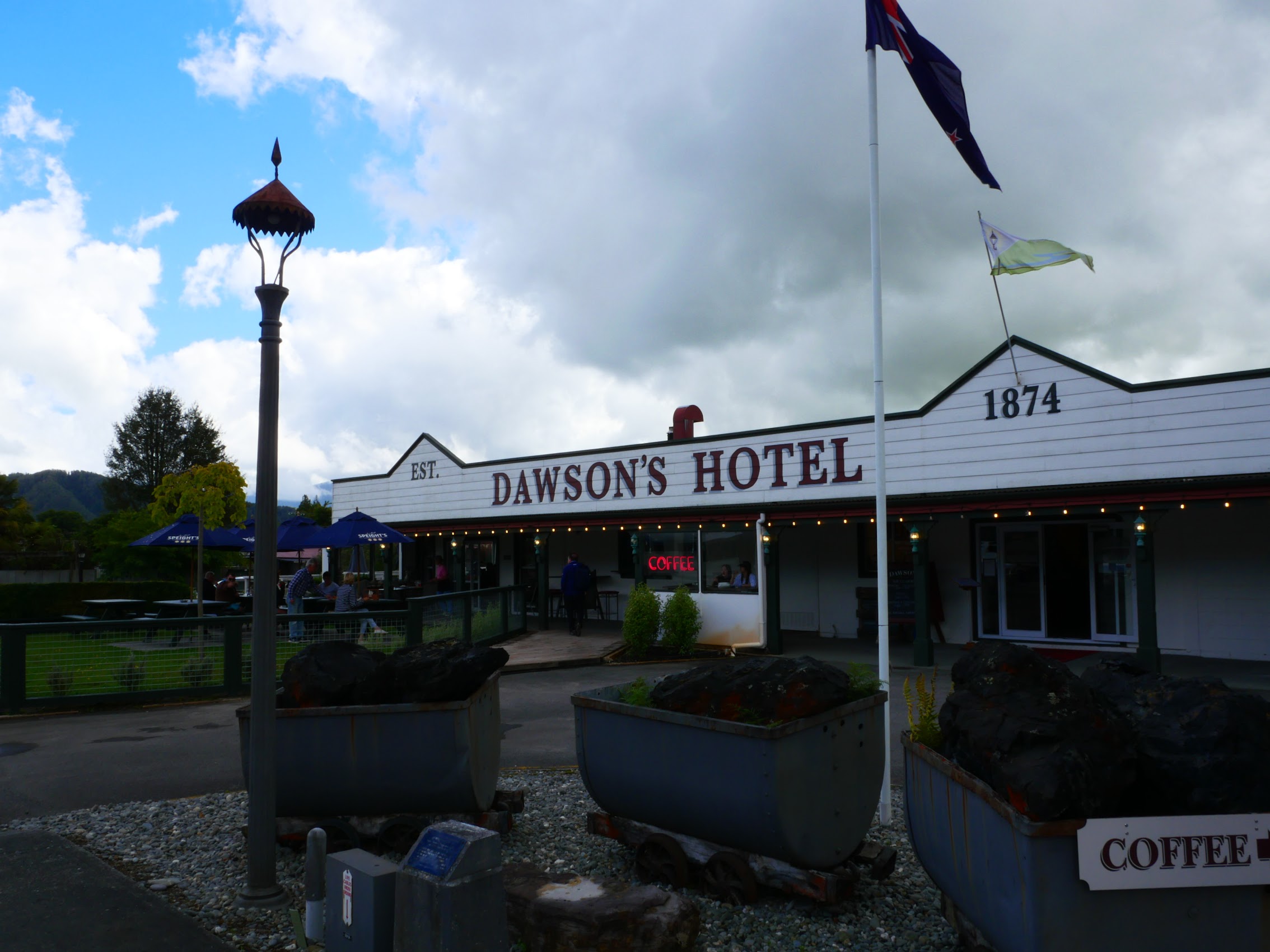
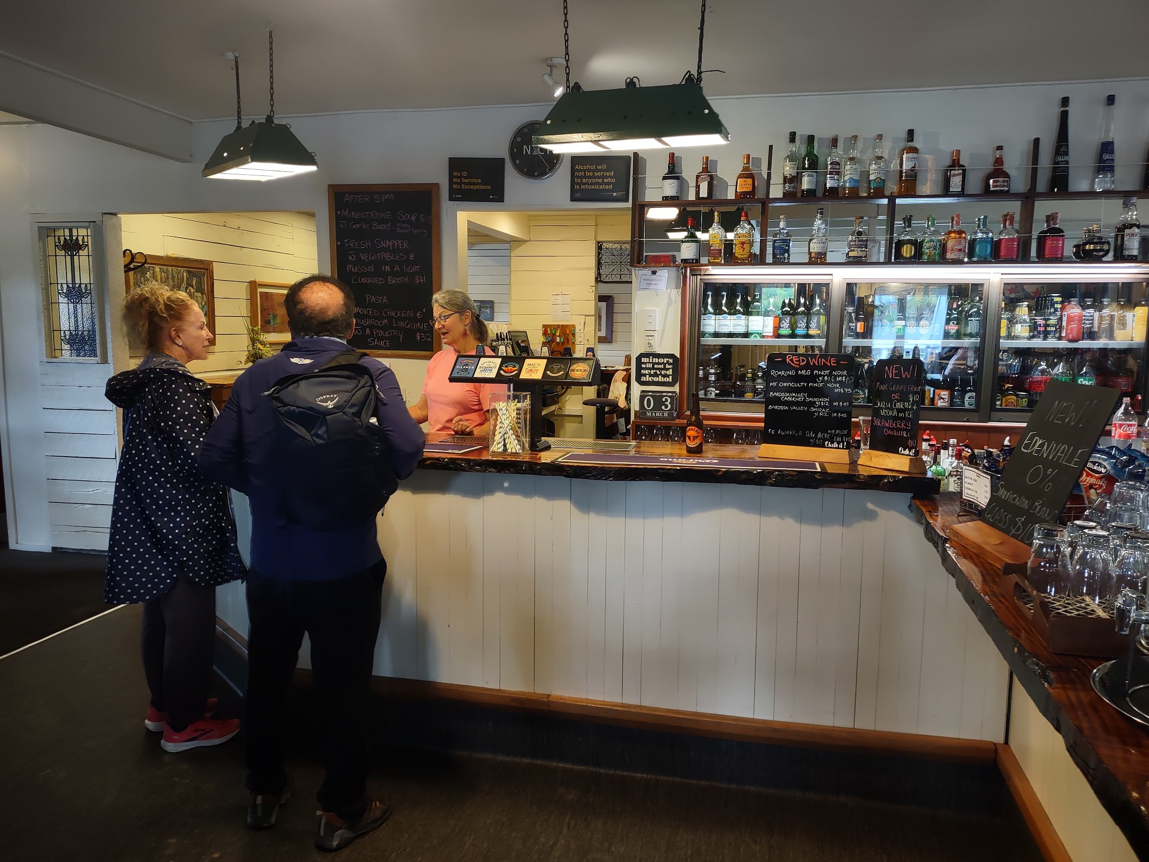
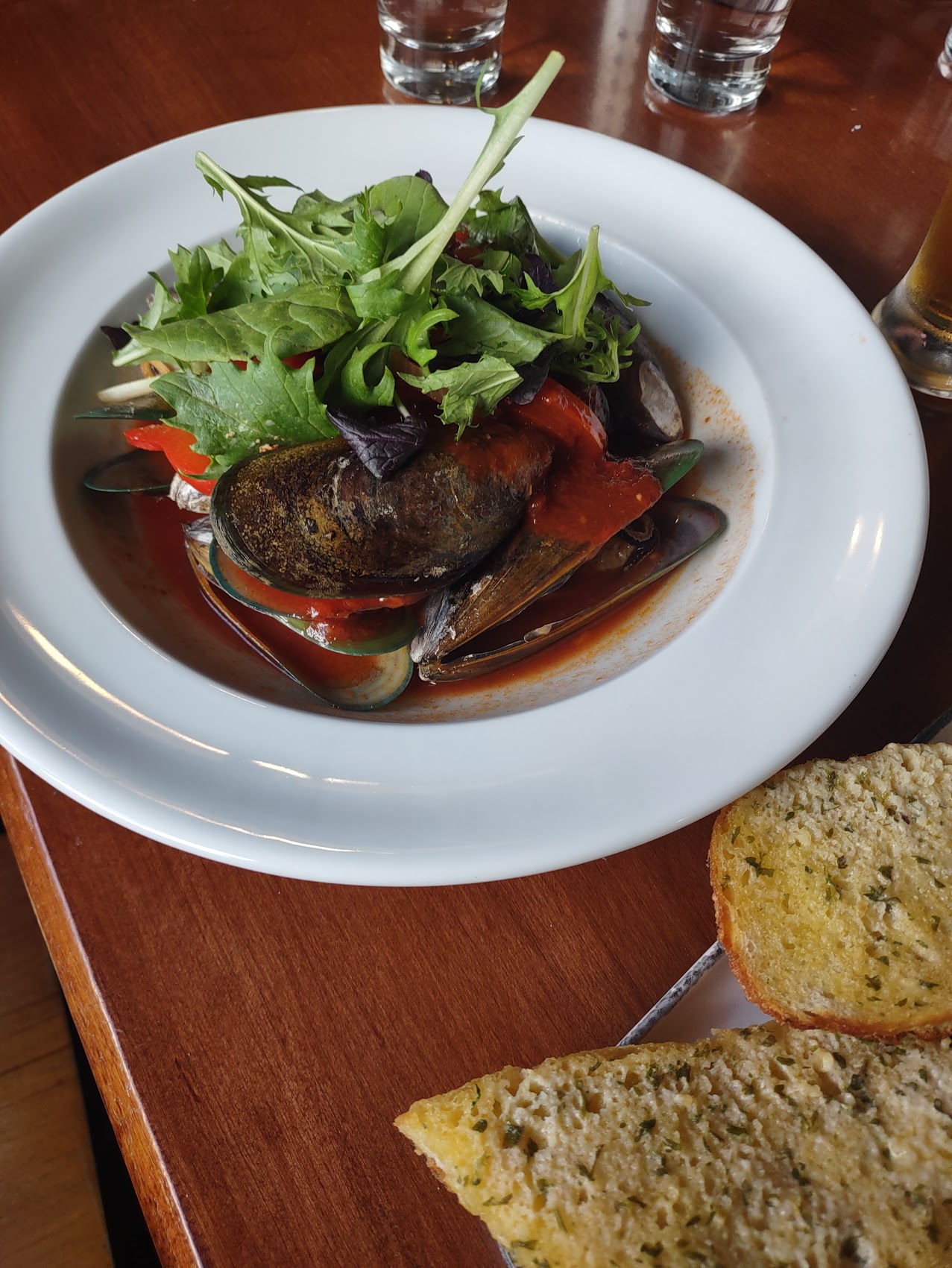
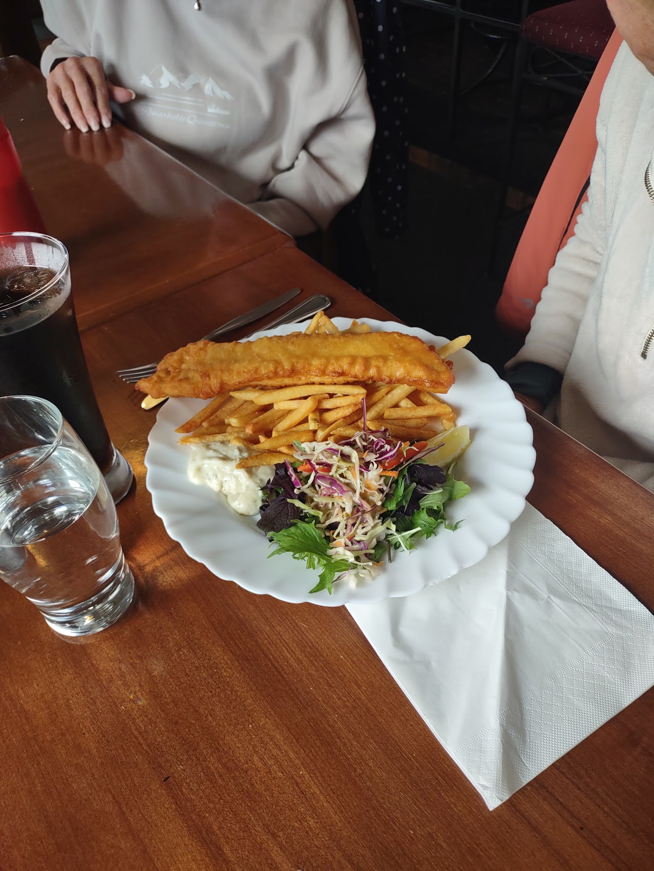
We stopped for lunch in Reefton (population 910), another very cool little town which felt a bit like a step back in time with lots of old buildings, most of which remained in use. We had lunch at Dawson’s Hotel, established in 1874, where I had green lipped muscles (again) and Colleen had fish and chips.


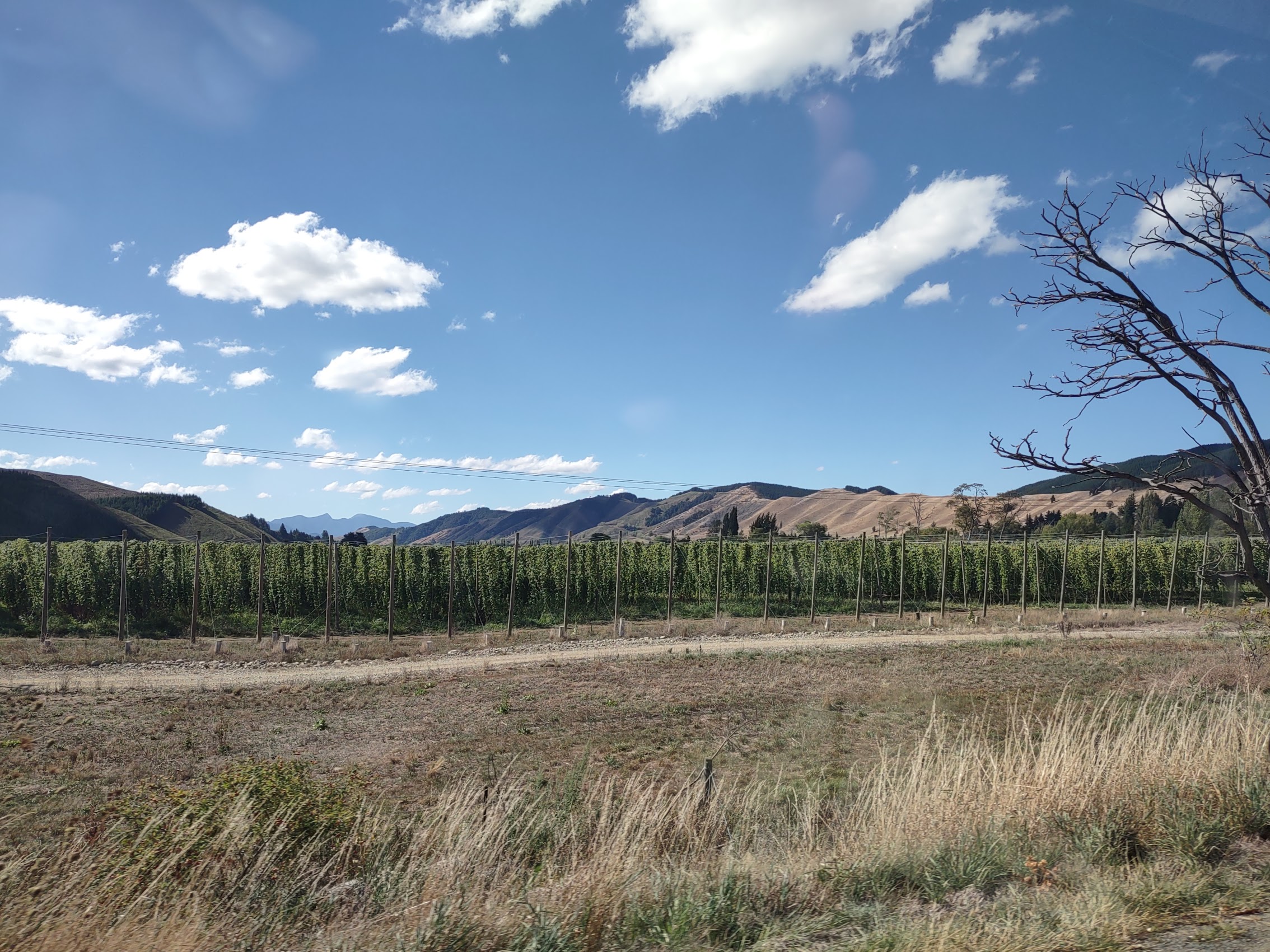
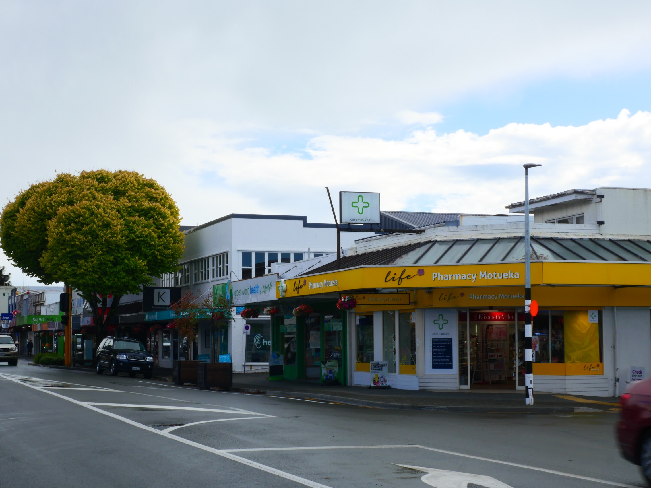
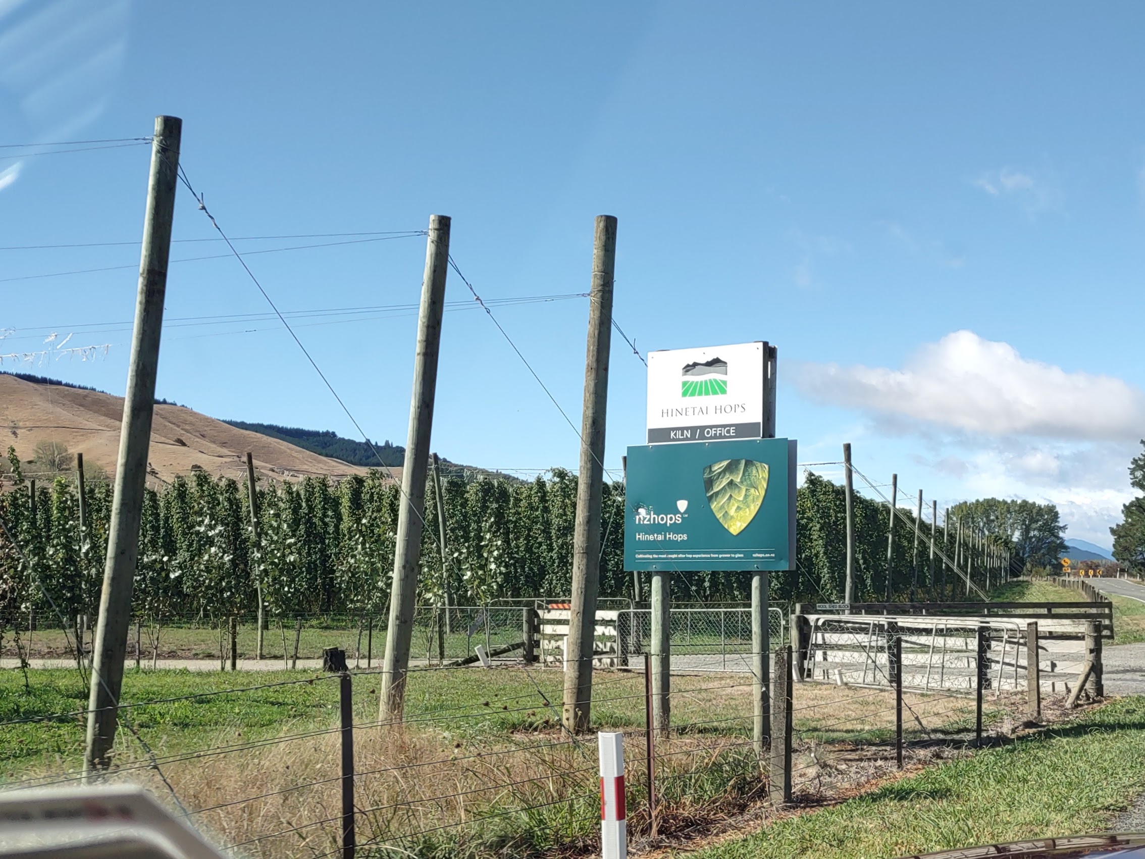
The beautiful scenery and blue skies continued and, as we neared the northern coast, I spied a number of farms which appeared to be growing hops (which are distinctive as they are grown suspended from racks and cables) which was confirmed at our next turn where we were directed toward the town of Motueka. (Motueka hops are a very well-known New Zealand variety used in a number of American IPA’s.) As we approached the town of Motueka, we began to get glimpses of the Tasman Bay and Cook Strait (which separates the North and South Islands) beyond.


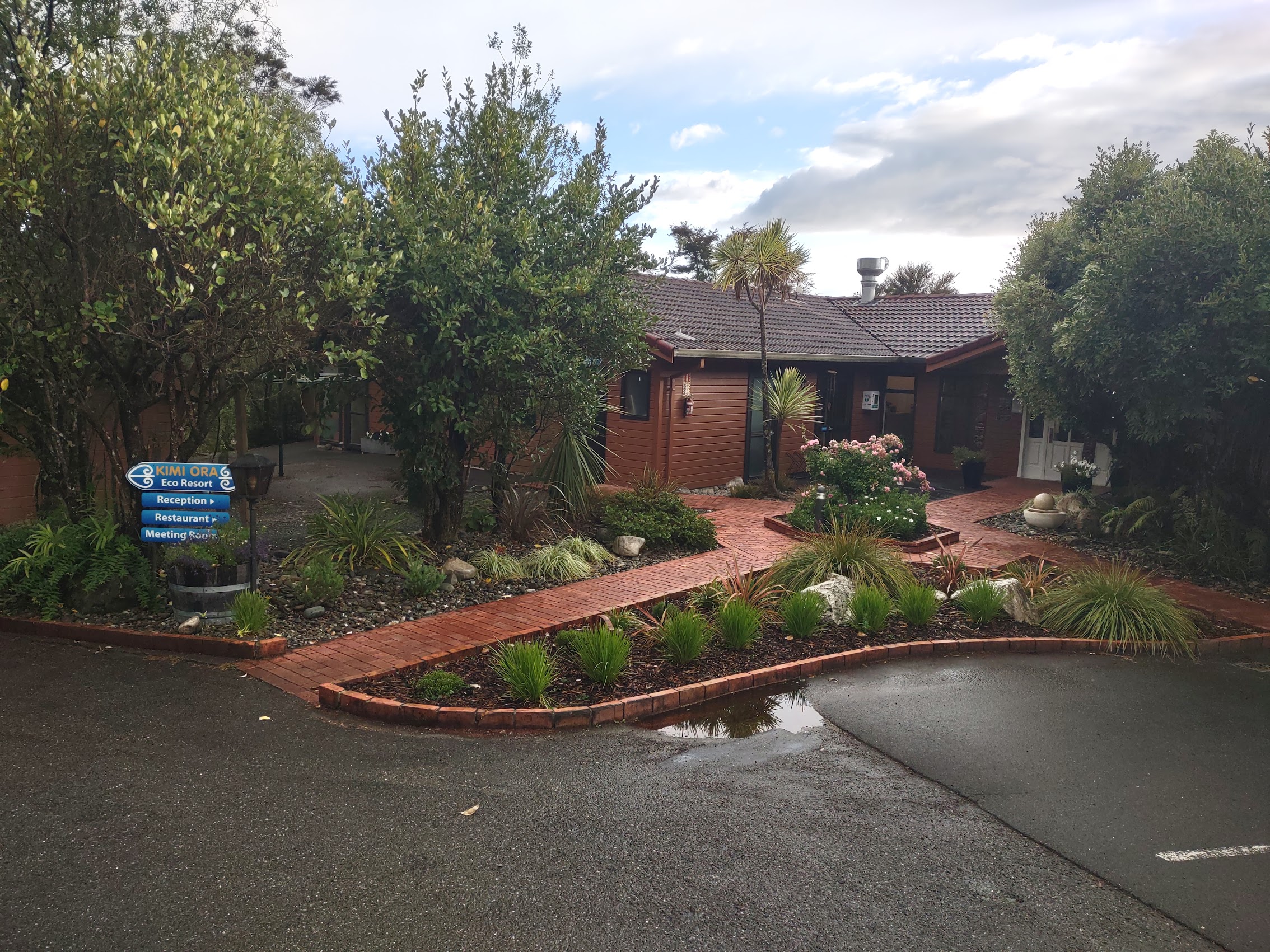
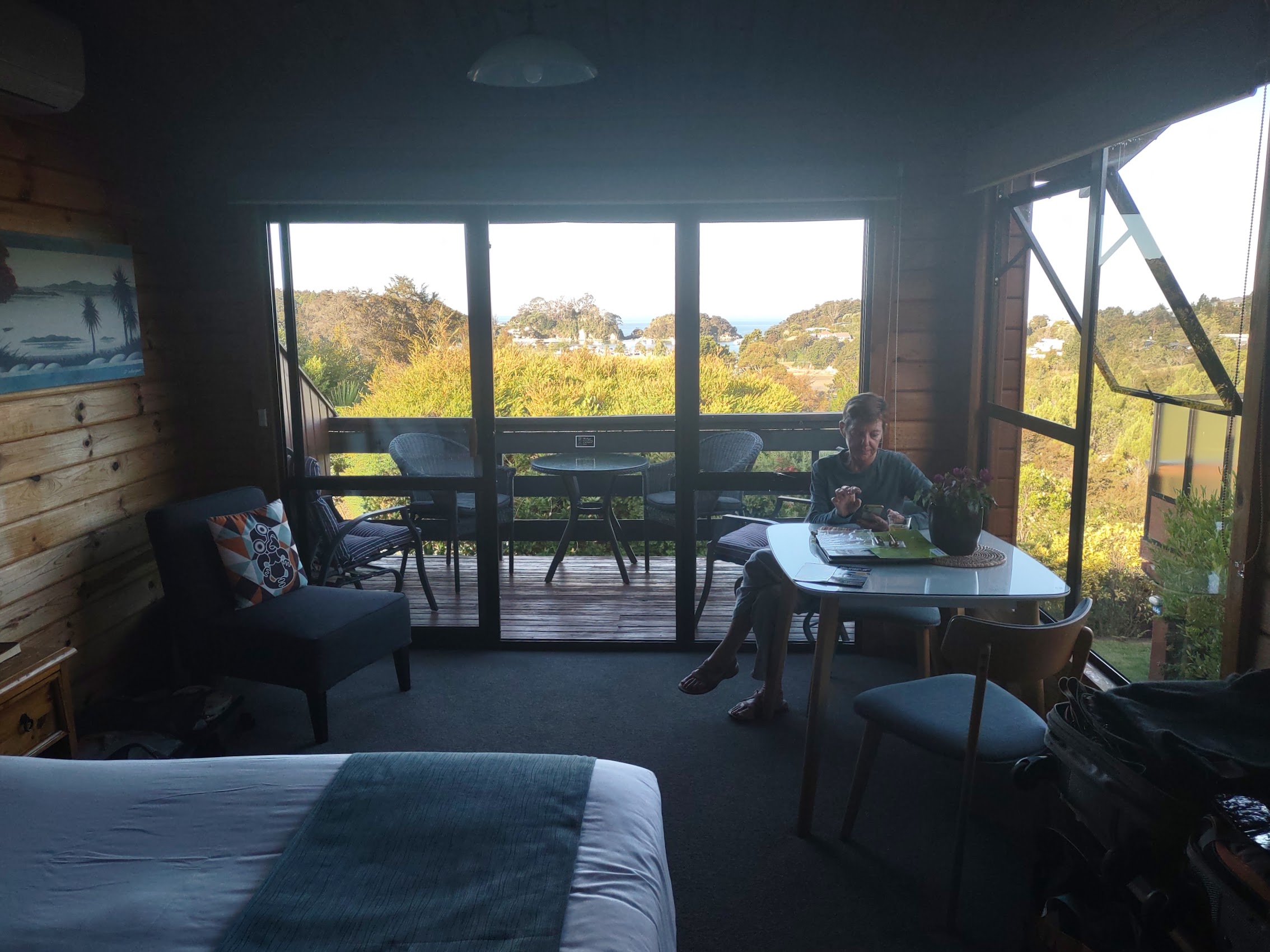
Around 5:30 PM, after a long day on the road, we arrived at our final destination for the day, the Kimi Ora Eco Resort in Kaiteriteri, the closest town to Abel Tasman National Park. (There are a limited number of places to actually stay in the Park, but they require a high-clearance four-wheel-drive vehicle to reach, so Kaiteriteri was as close as we could get.) We had booked two adjoining efficiencies at the Kimi Ora which turned out to be a rustic (fitting) but quite nice assemblage of paired cabins scattered over the ridge above Kaiterirei (no surprises this time!). We and the Maddens had adjoining cabins with a private deck and views of the town and Tasman Bay.


Colleen fixed us a great dinner of gnocchi, salad and bread. After another round of The Lord of the Rings, we briefly enjoyed a nice sunset with an almost cloudless sky before we hit the sack as we had an early excursion into Abel Tasman planned for the next day.


Abel Tasman
We woke early the next morning to overcast skies and rainy weather and a message from our tour guide that, due to weather conditions, our itinerary would need to be “adjusted”. We had a quick breakfast at Kimi Ora (included with our booking for the pretty-good-in-New Zealand rate of $149 per couple per night) then walked into town to see what the story was.
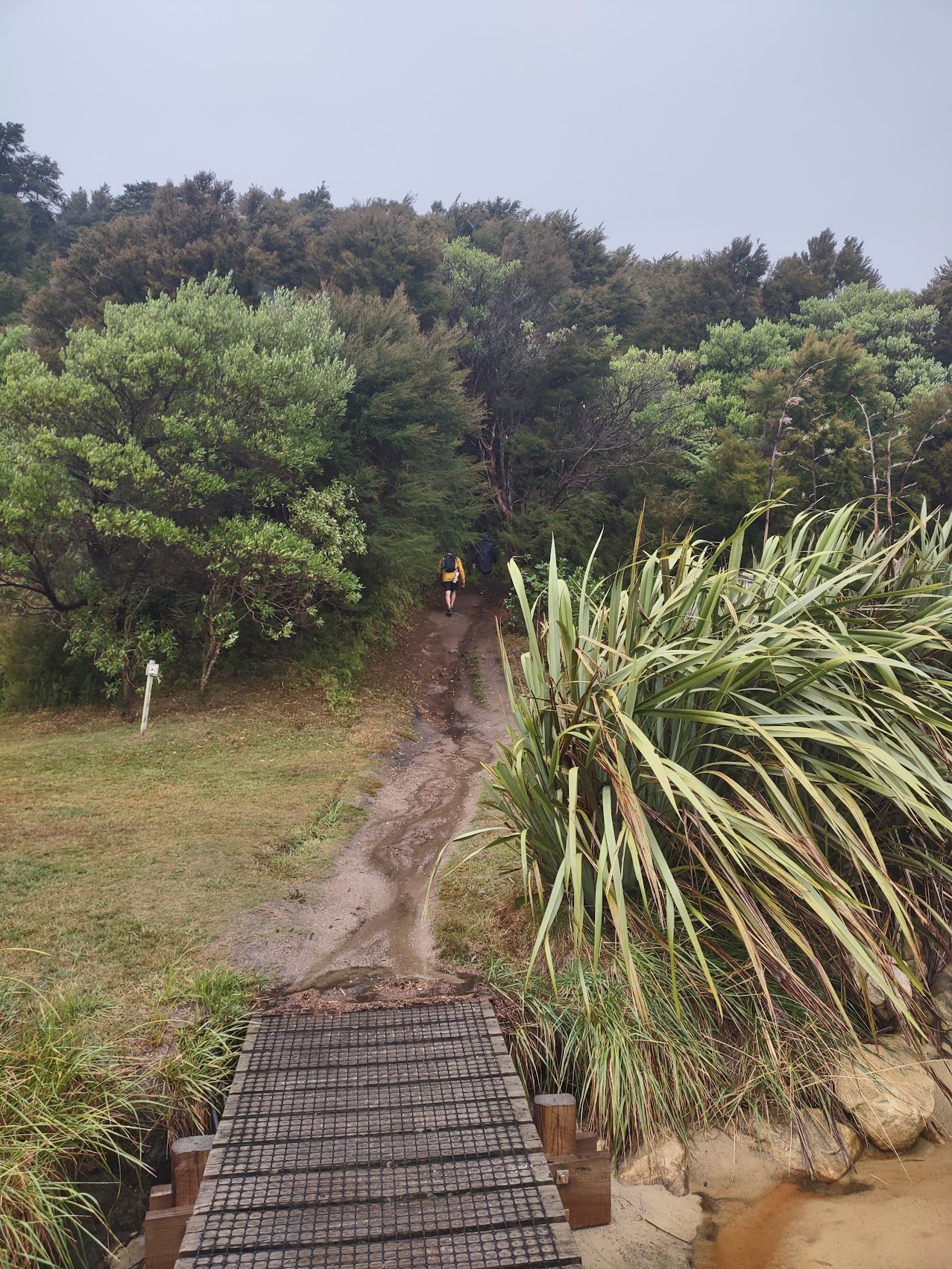
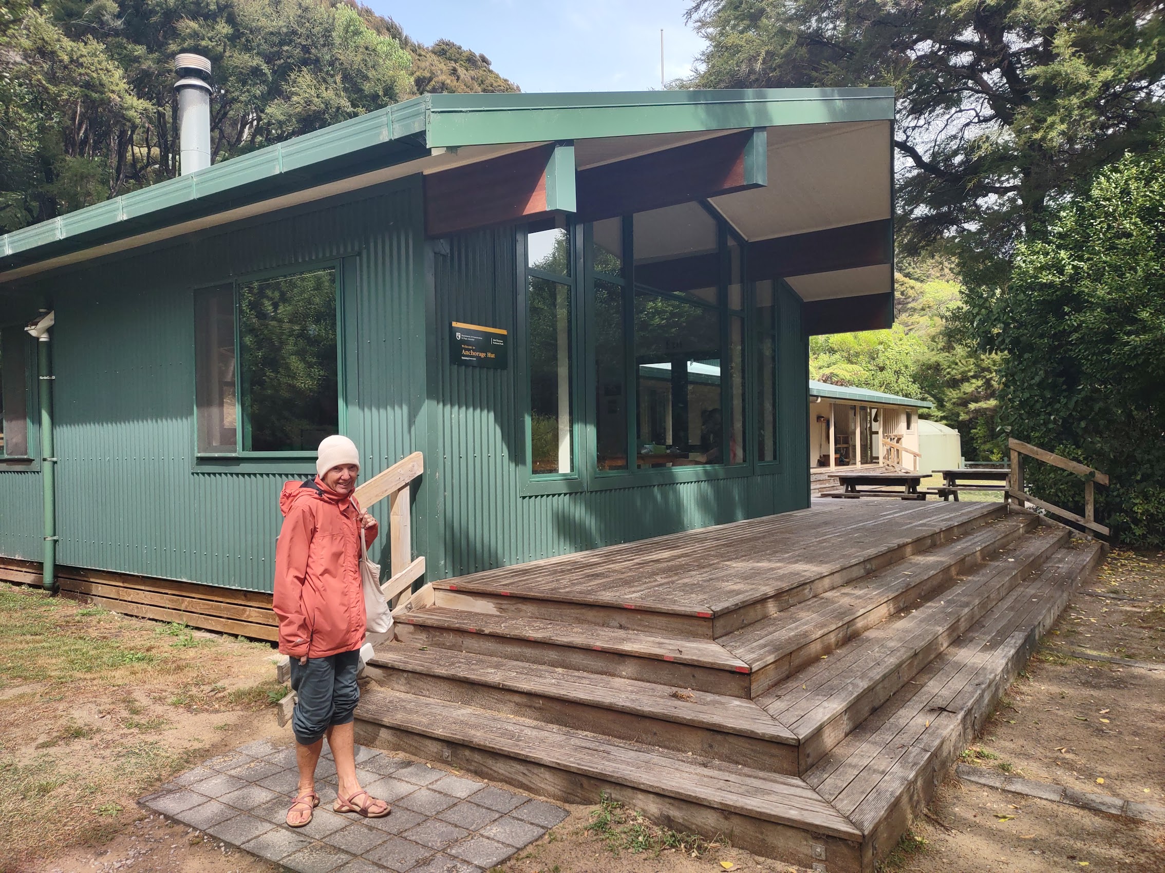
The excursion we had originally booked involved a boat trip up the coast to a drop point, a hike through Abel Tasman (mostly along the coast), and a pickup by boat at another point. But due to weather and sea conditions, the boat was not able to land at our original pick-up point, so that particular itinerary was not available that day. Rather than throw in the towel (and despite the rainy weather) we opted for a single drop at a point called the Anchorage from which we could take another hike to a place called the Pitt Head Lookout before returning and being picked up from the same drop point.
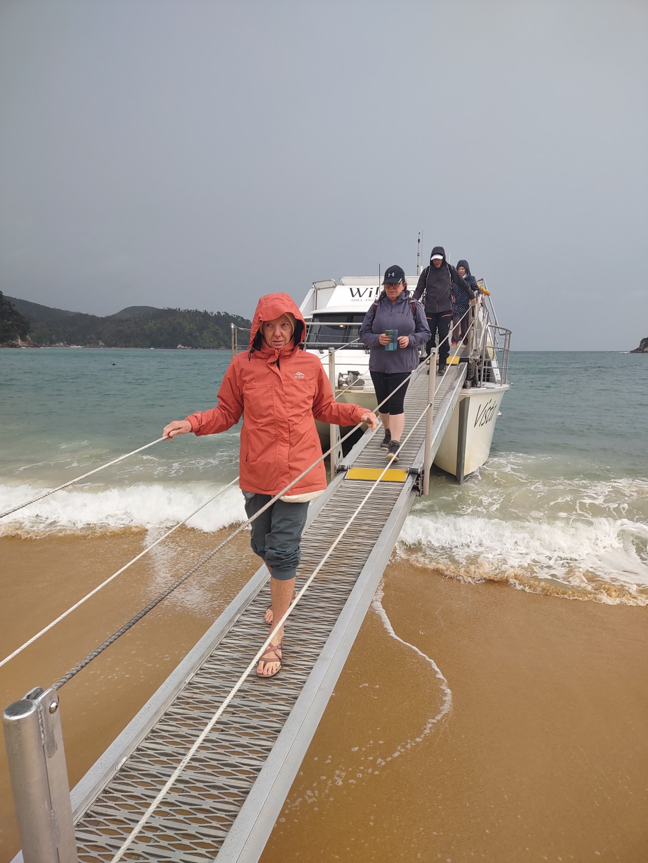
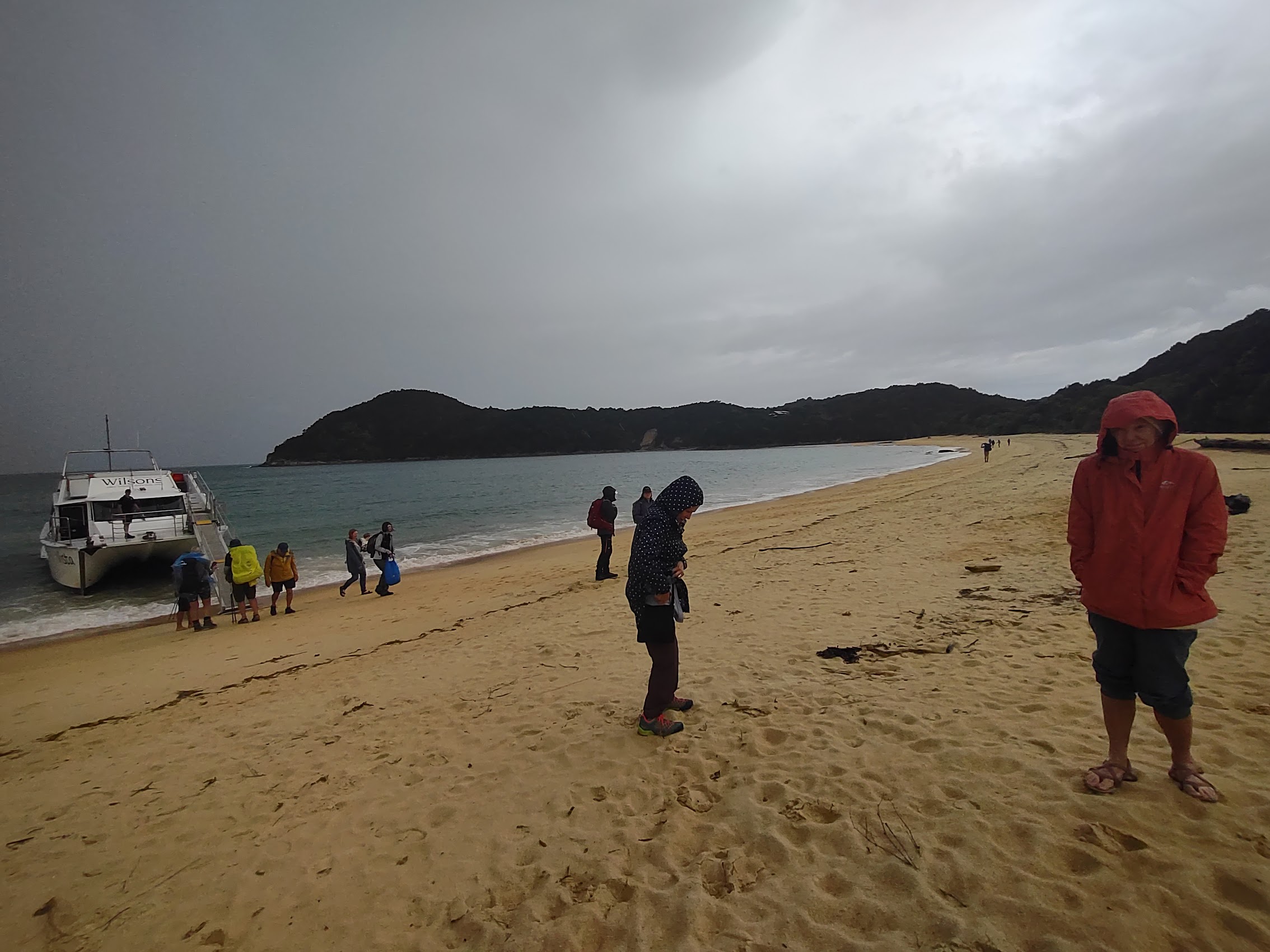
The rain was pouring down as we and other passengers were directed to our boat which was boarding from the beach in an adjoining cove. Let me just say that Colleen and I have had many experiences boarding (and de-boarding) boats on beaches, and not all of them have been pleasant. (We had such an experience de-boarding a boat in Turkey once which Colleen will forever refer to as the “near-death experience”.) We were therefore surprised to find that our boat had a very shallow keel, which allowed it to almost come up on the beach and a hydraulic gangway which could be extended for what seemed like fifty or more feet, ensuring a safe and dry (were it not raining so hard) boarding.
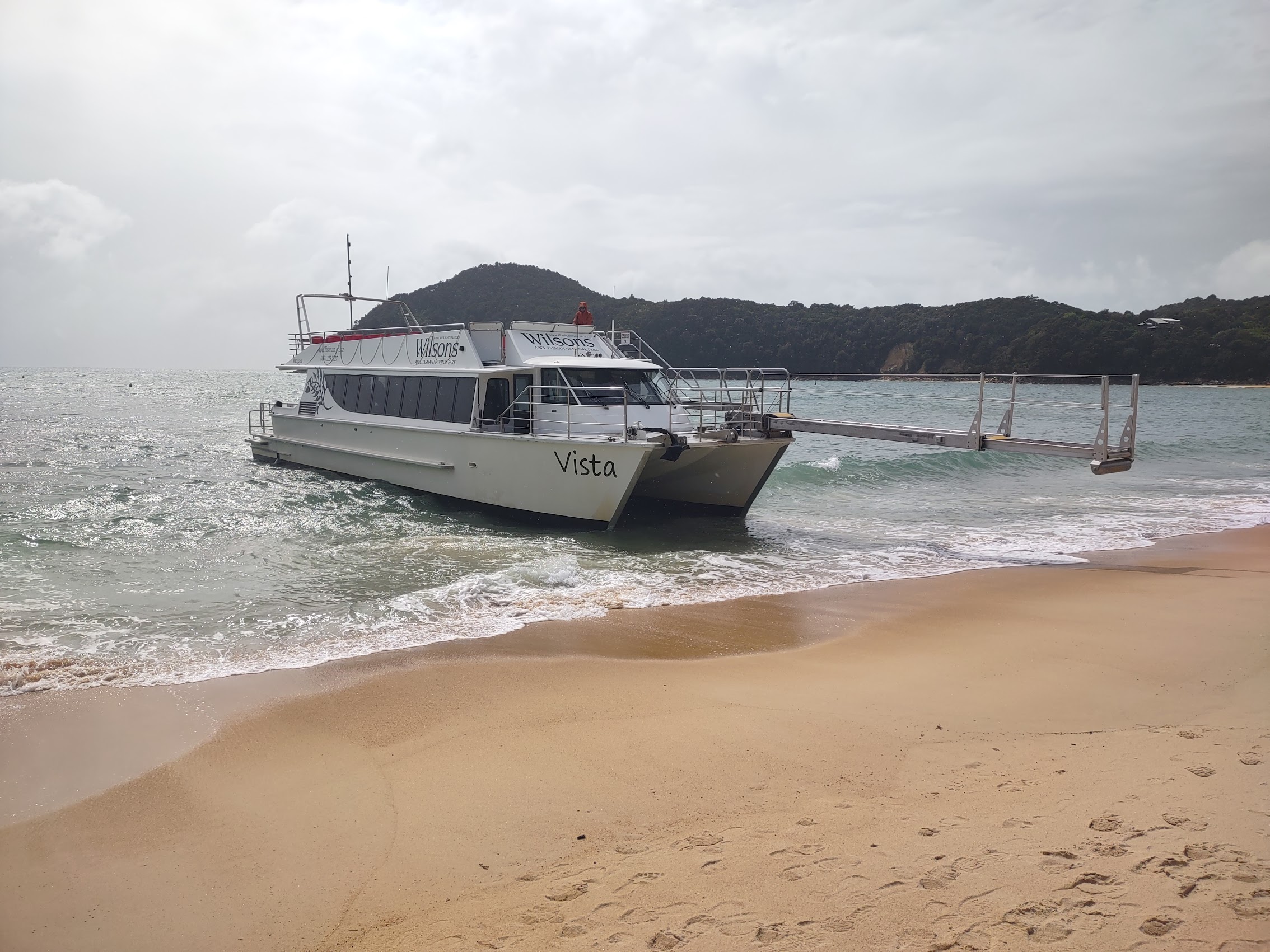
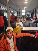
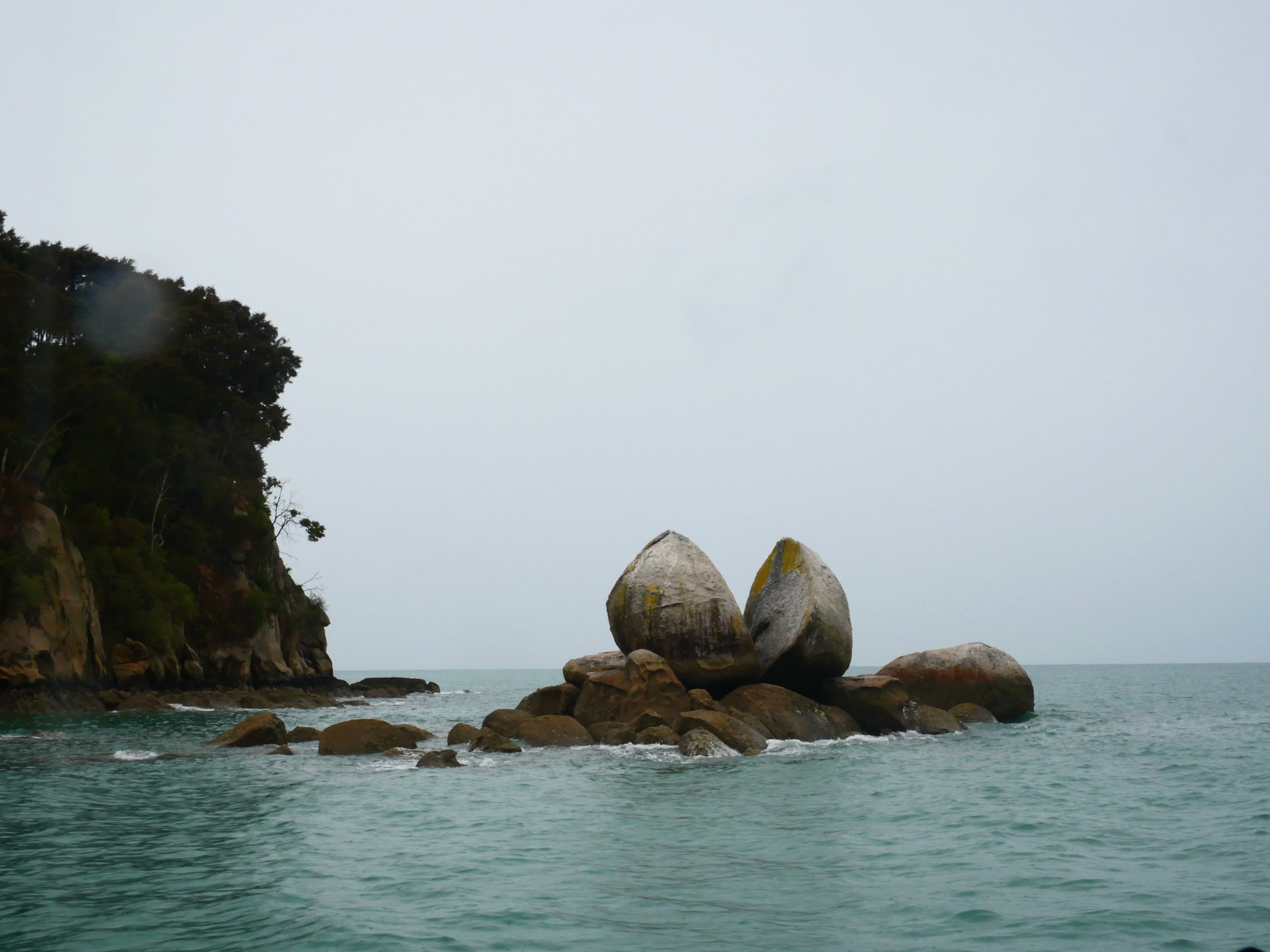
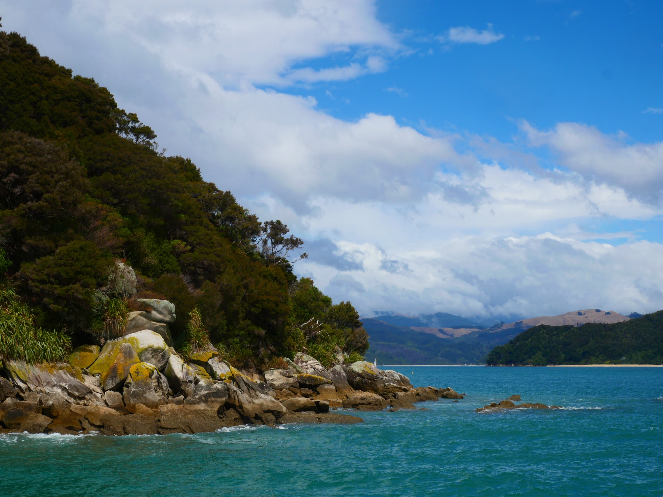
Our boat (the Vista), was larger than we had anticipated with a cabin equipped to hold fifty or more passengers, though it was thankfully less than half full. The boat ride up the coast of Abel Tasman was a bit rough and, as the rain continued to come down, most folks stayed in the boat’s cabin, though I did occasionally venture out on deck to snap some photos, particularly when we passed an iconic rock formation known as Split Apple Rock.
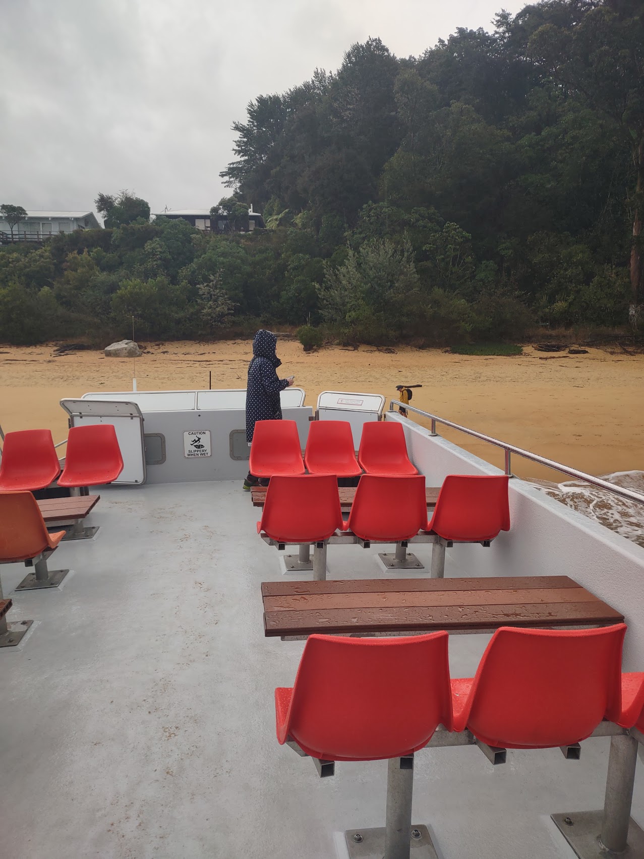
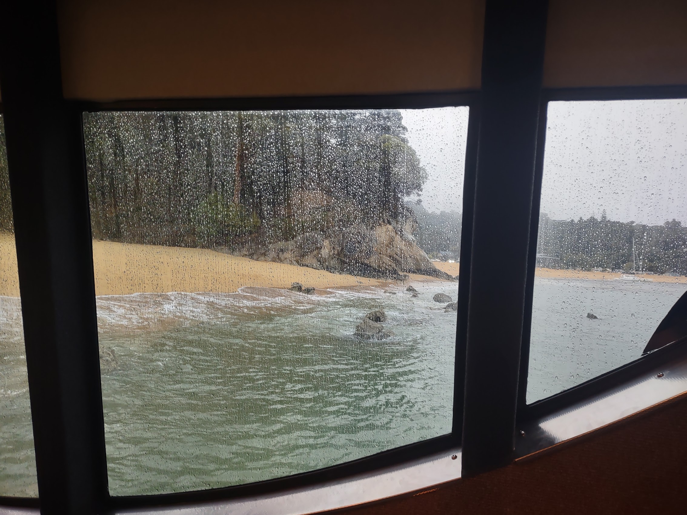
After about an hour, we arrived at Pitt Head and landed at a small beach called Anchorage, again thankful for the extendable boarding ramp. The rain had lightened a bit was still coming down so, after getting our bearings, we proceeded up the trail to Pitt Head Lookout. The hike up the hill was wet and a bit slippery, but there were some nice viewpoints along the way and we did our best not to let the weather dampen our spirits.

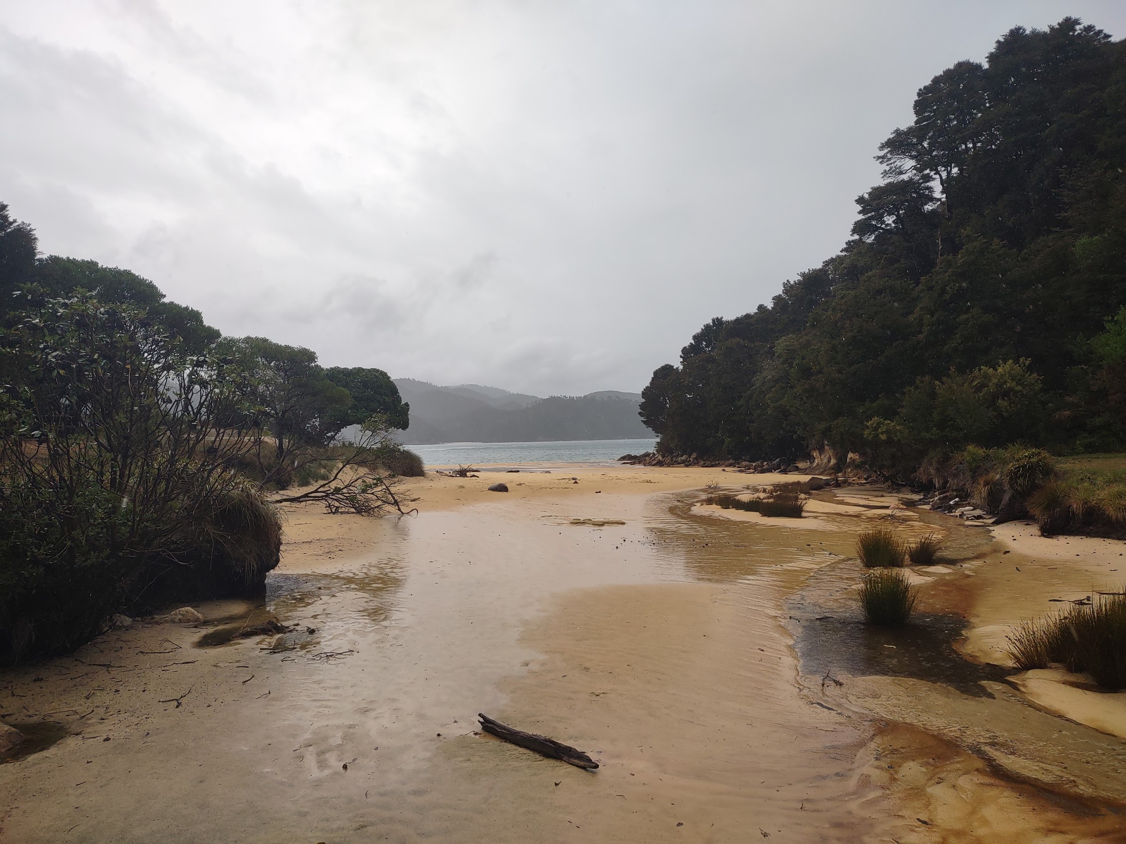


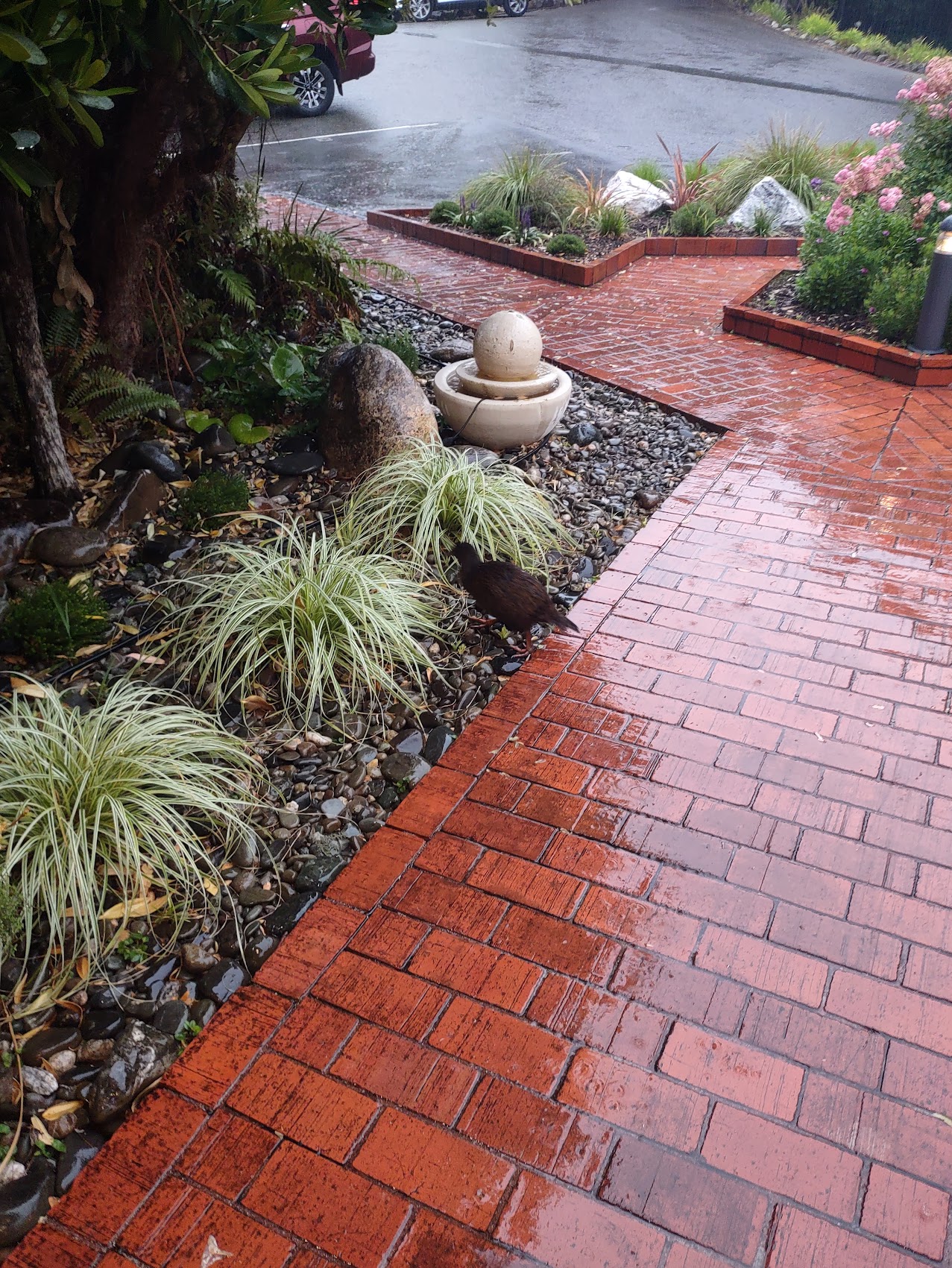
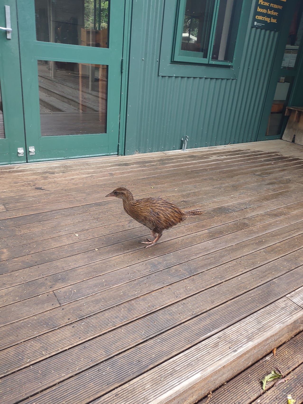
We made our way back down to Anchorage Beach where we discovered some interpretive displays along with lodging facilities for backpackers, some of whom were stirring about. While waiting for the boat we spied some odd looking small wingless birds I had never seen before which we learned are called Wekas (not Kiwis, which are much smaller).
The boat ride back was better as the rain had stopped and the sun actually came out for a bit improving both dispositions and our ability to see the scenery, which included some seals laying on rocks in the sun!
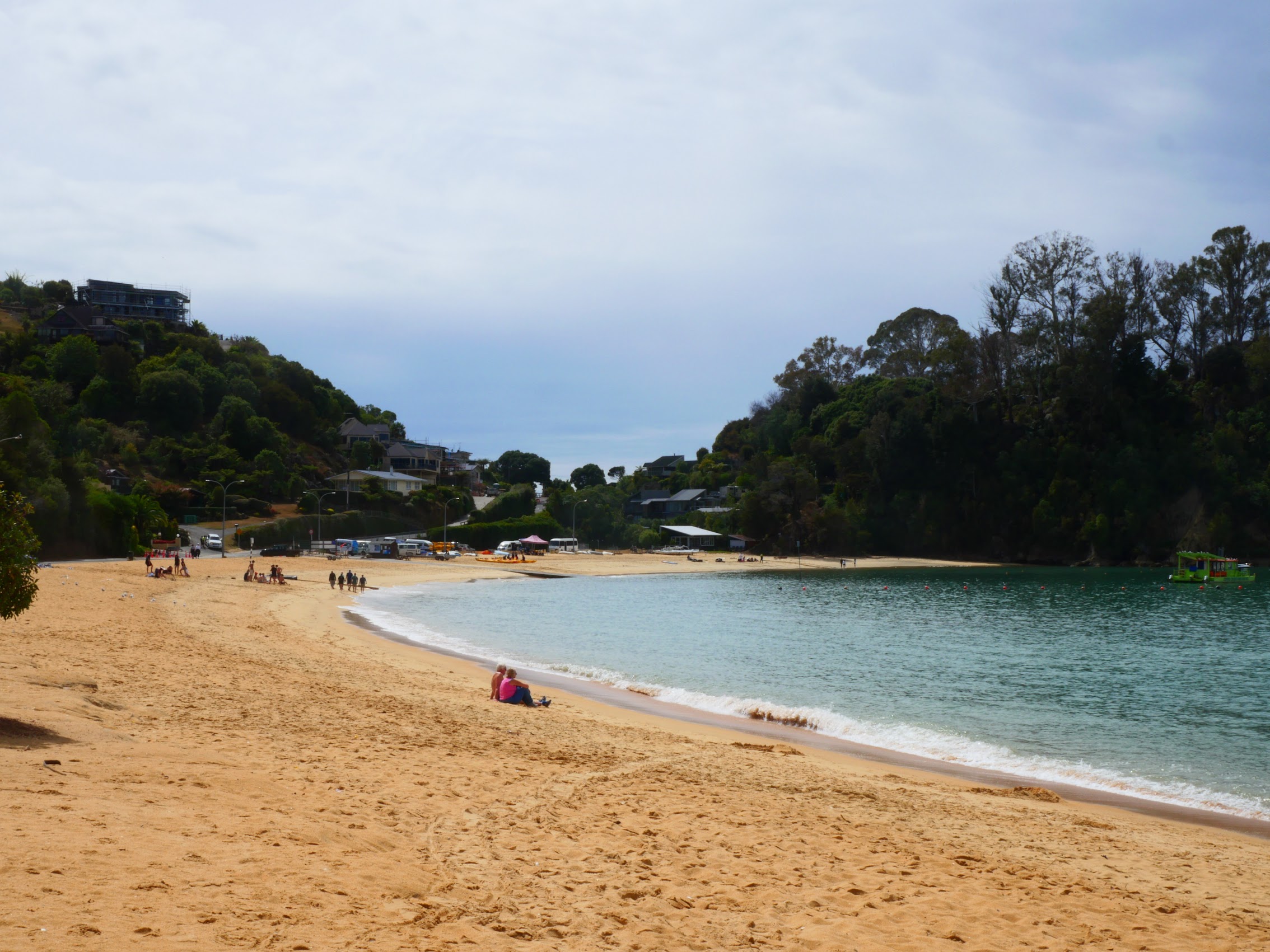
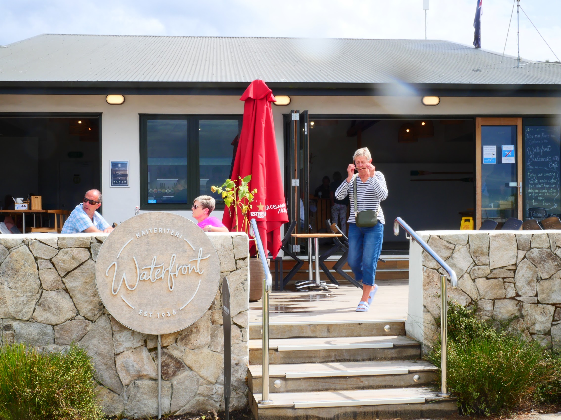
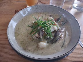
After landing, we had our first chance to explore Kaiteriteri, which didn’t take very long as it is a very small town (population about 400). As our first choice for lunch, a place called the Beached Whale was closed, we ate at the other restaurant in town, the Waterfront Restaurant, where we enjoyed a nice lunch of comfort food (seafood chowder and polenta fries for me!) after which we headed back to Kimi Ora to relax and do a bit of blog work.
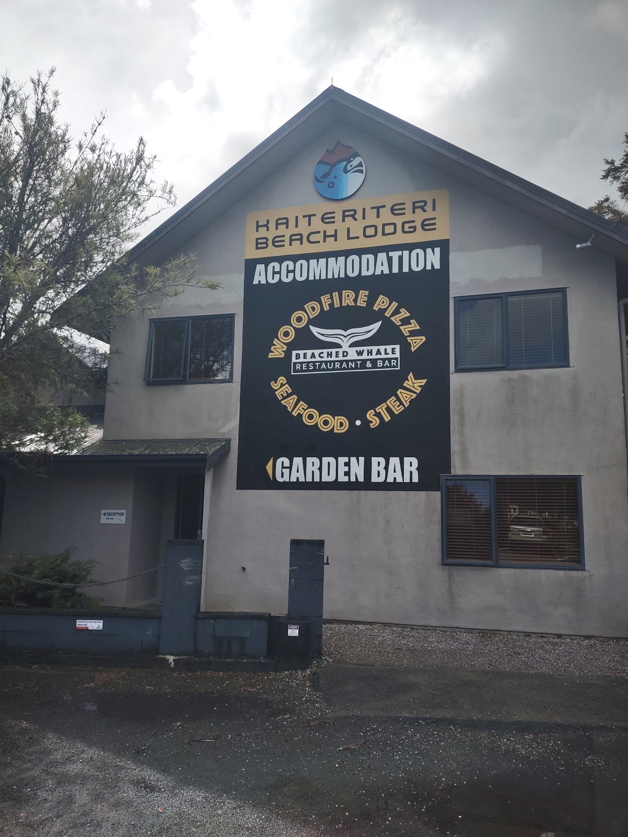
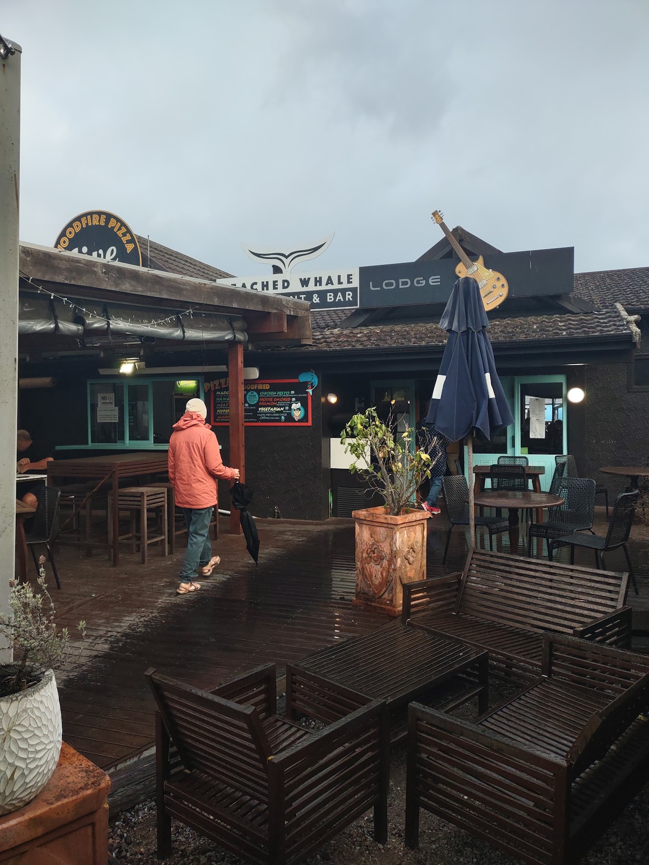
We walked back into town for dinner at the Beached Whale, which was now open but had a pretty limited menu. The food was a bit pricey but, as had been the case for the last few days, they had very good fresh seafood. We made our last walk back up the hill to Kimi Ora to get our luggage back into flying shape (I hadn’t mentioned it, but we had developed a packing system which included a couple of “satellite bags” as well as a folding cooler to transport our perishables from place to place and keep certain things – like cold beverages – handy) and then to bed as we had a pretty long drive ahead of us the next day.
Back to Christchurch
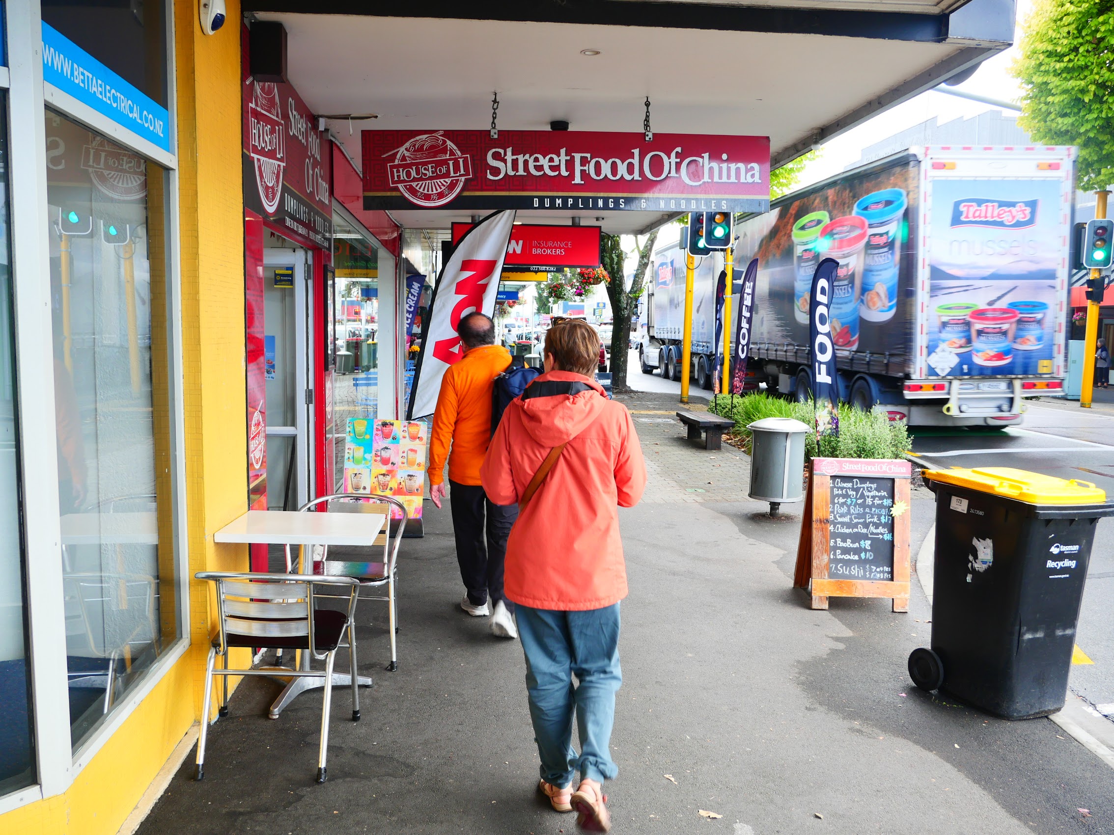
We had our last breakfast at Kimi Ora then hit the road for what we anticipated to be about a 5-1/2 hour drive back to Christchurch Airport leaving early enough to give us plenty of time for both planned and unplanned stops. The first of these was in Motueka, the small town we had passed through on our way to Kaiteriteri, about 20 minutes south. From what we had seen on our first trip through, Motueka appeared to be another one of those cool small towns we had been seeing.
Ostensibly we were stopping for coffee, but once we were out of the car it seemed impossible not to stroll the main street which was only about six blocks long. Motueka was definitely small (though with a population of about 8,000, it was a booming metropolis compared to Kaiteriteri) and it was definitely cool with a great small town vibe – lots of beautiful old buildings and quite a few interesting shops mingled amongst more common ones.
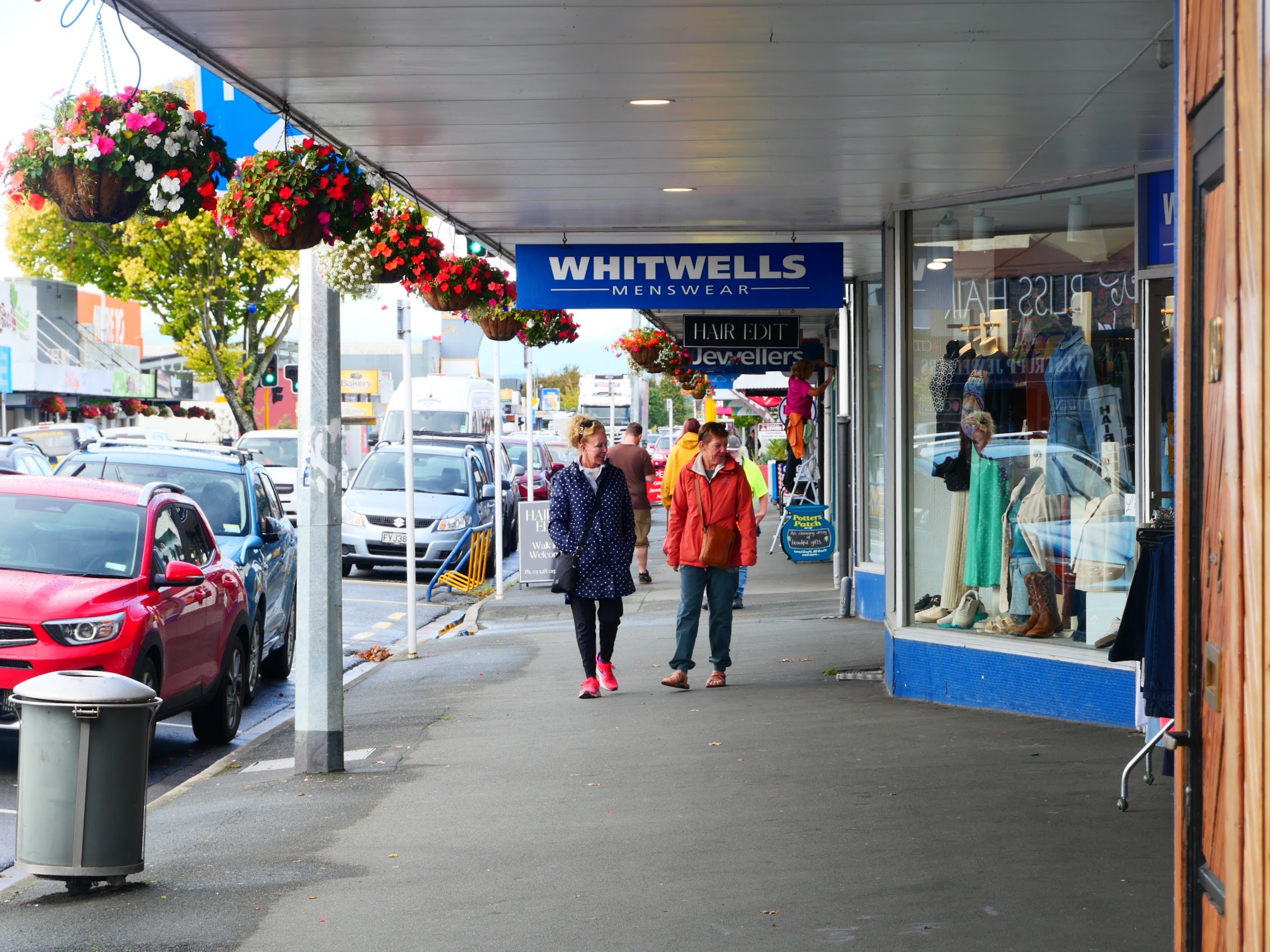
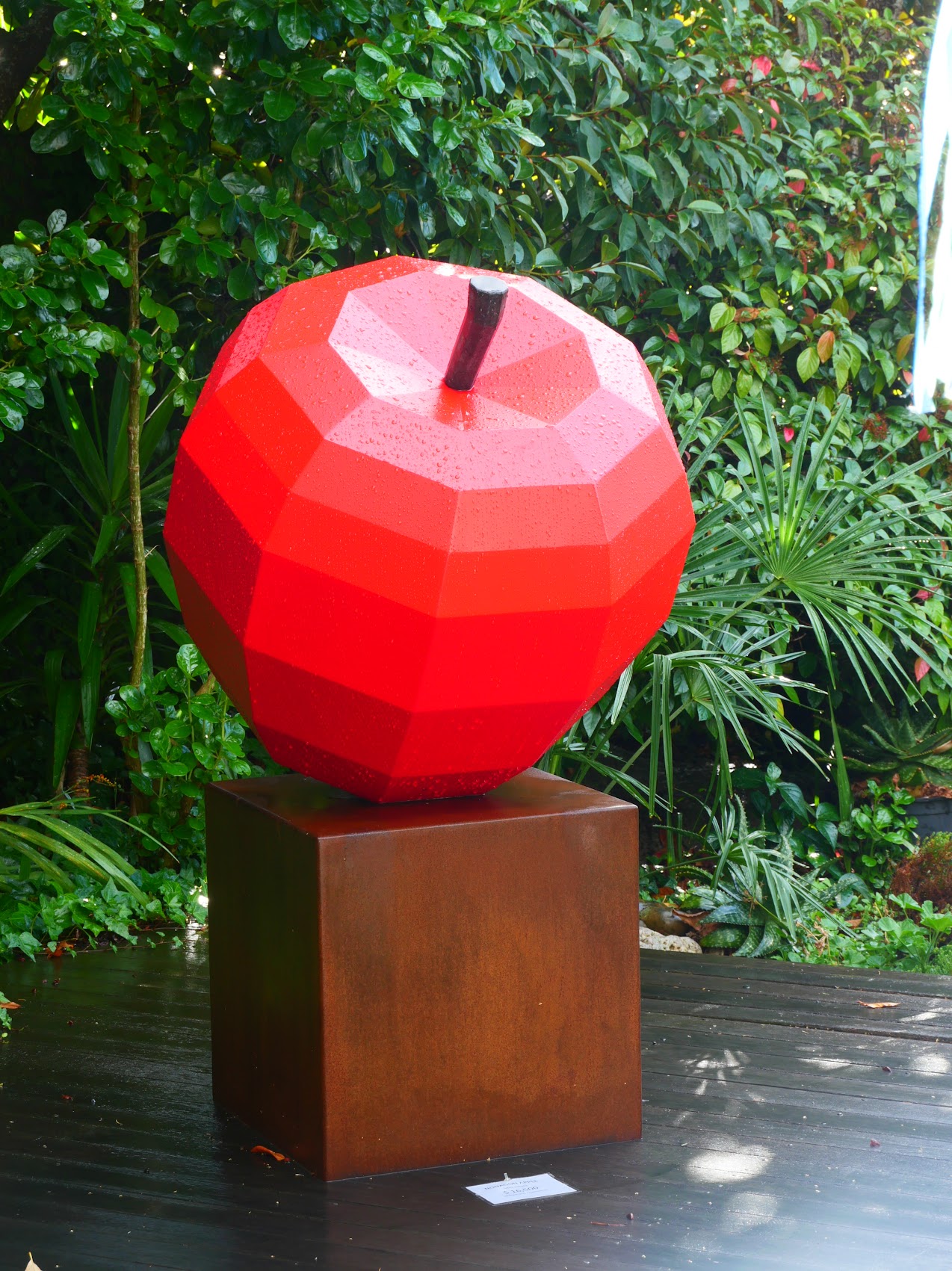
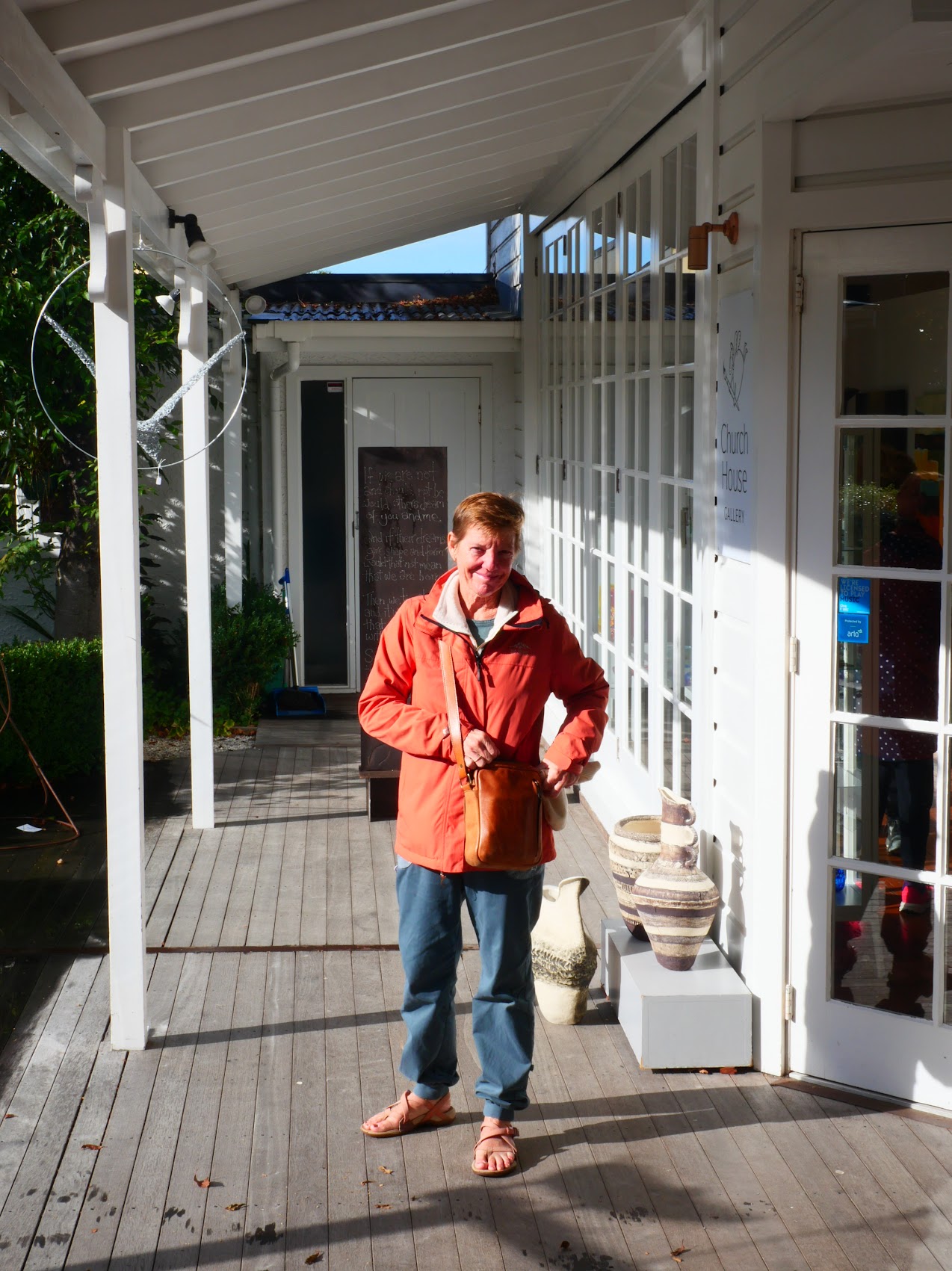
The best find turned out to be a place called the Church House Gallery, which we discovered tucked back in a garden behind a church and hidden from the street. We had originally thought it might be a thrift store, but it turned out to be a sweet little gallery/giftshop with some beautiful original artwork and handicrafts which some of us found impossible to resist purchasing.

I must say that I found myself wondering when we left Motueka how many more of these cool little towns there were in New Zealand and what it would be like to have the time to visit them all!
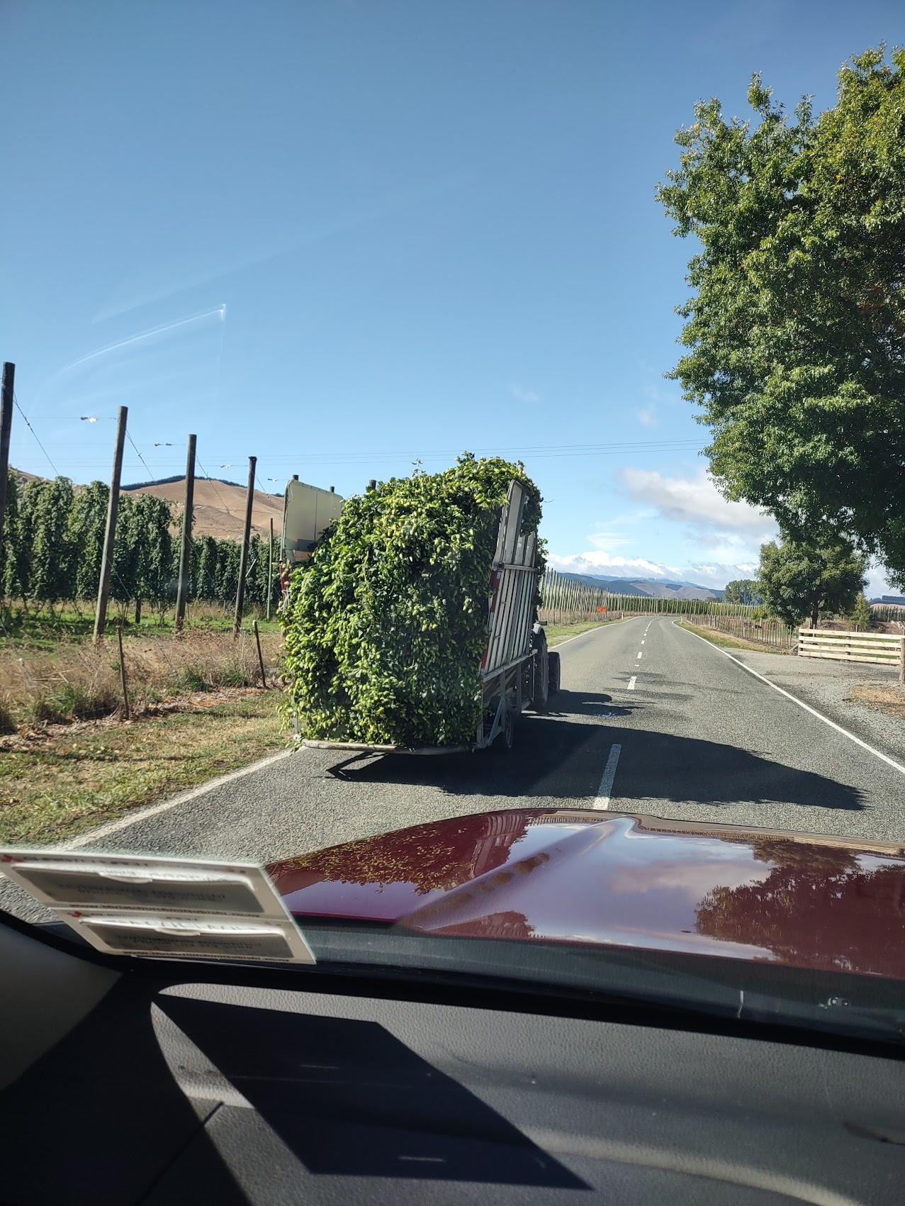
Back on the road, we passed more hop farms (and even passed a truckload of freshly harvested hops), but as we continued south, the terrain began to get more rugged again. We stopped for lunch at a place called the Beechwood Café in yet another small town (Murchison, population 500), which was a bit too small to be cool but was nonetheless rather unusual in a back-woodsy sort of way.
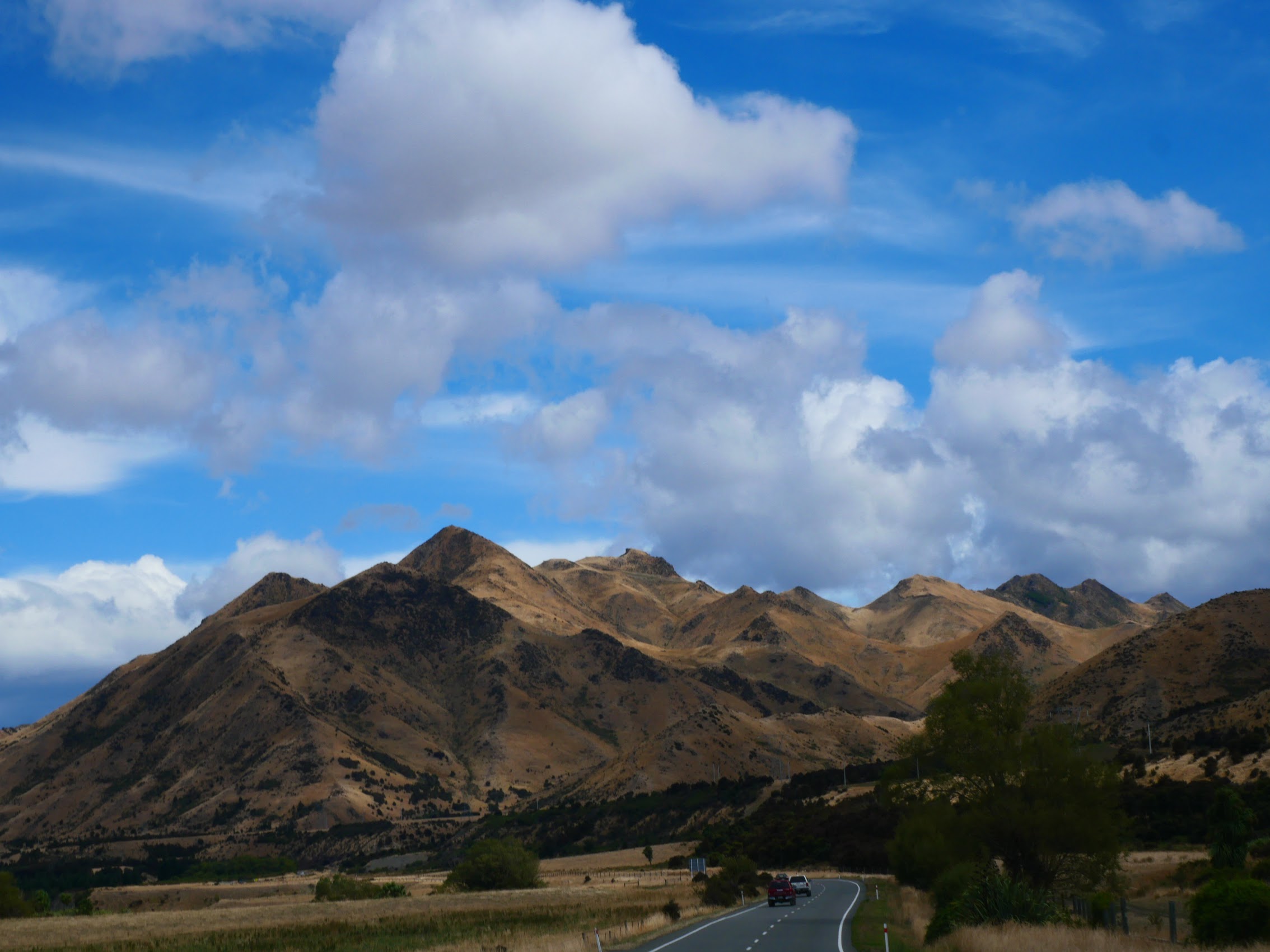

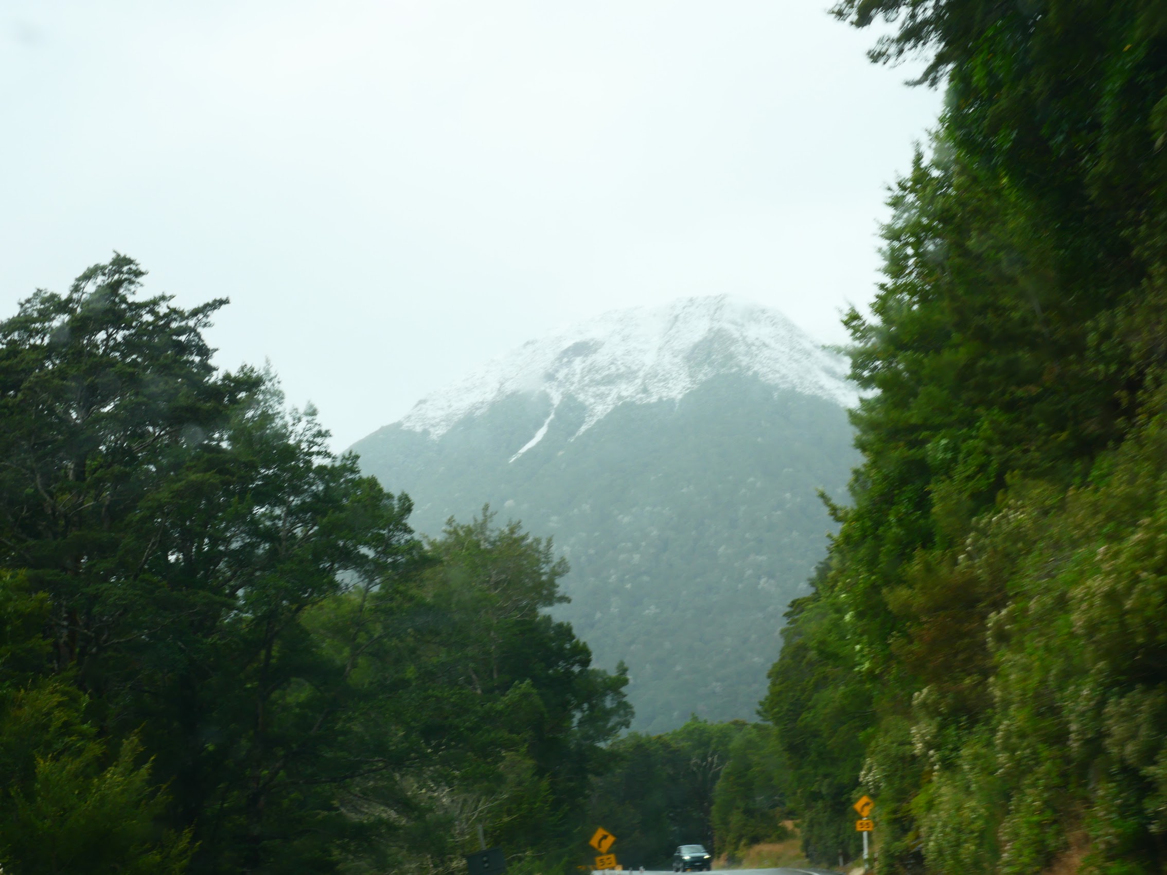
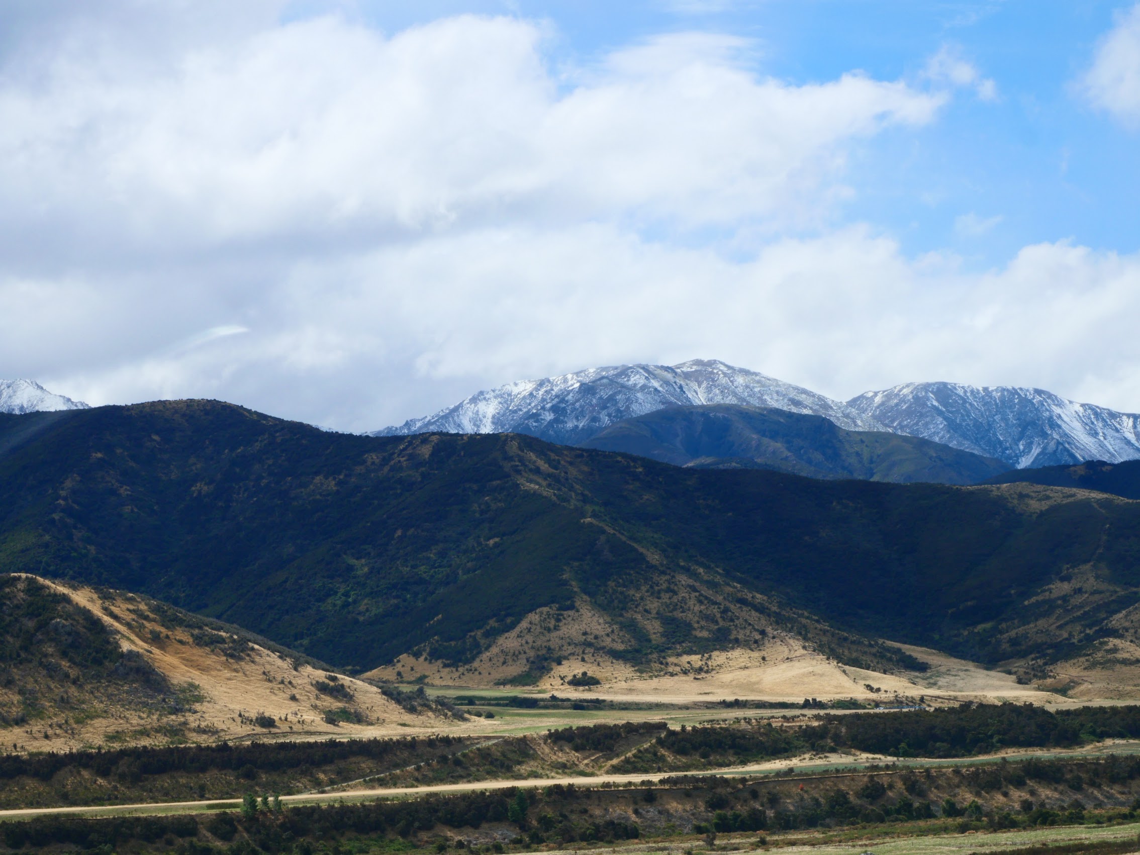
From Murchison we continued south through more beautiful countryside with glimpses of the mountains in the distance, some of them with snow-covered peaks. We arrived at Christchurch Airport with plenty of time to return our rental car and get to the terminal for our 7:35 PM flight to Wellington on the North Island where we would start Part 2 of our New Zealand adventure and where we’ll pick up soon (I hope!).

Leave a comment