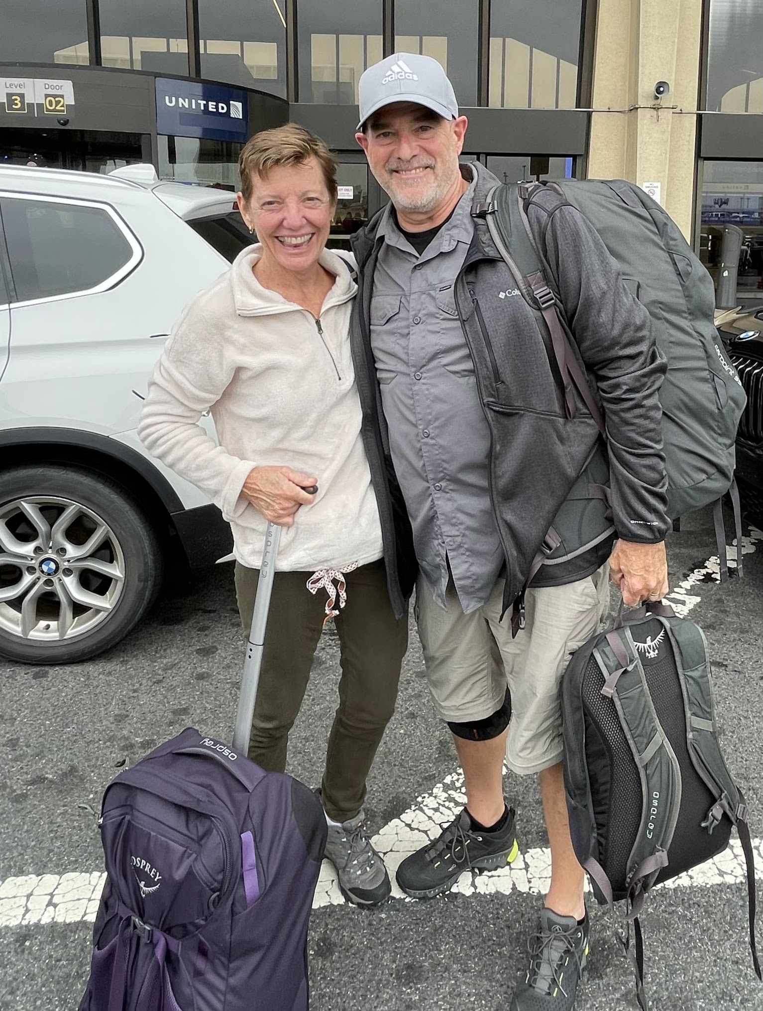
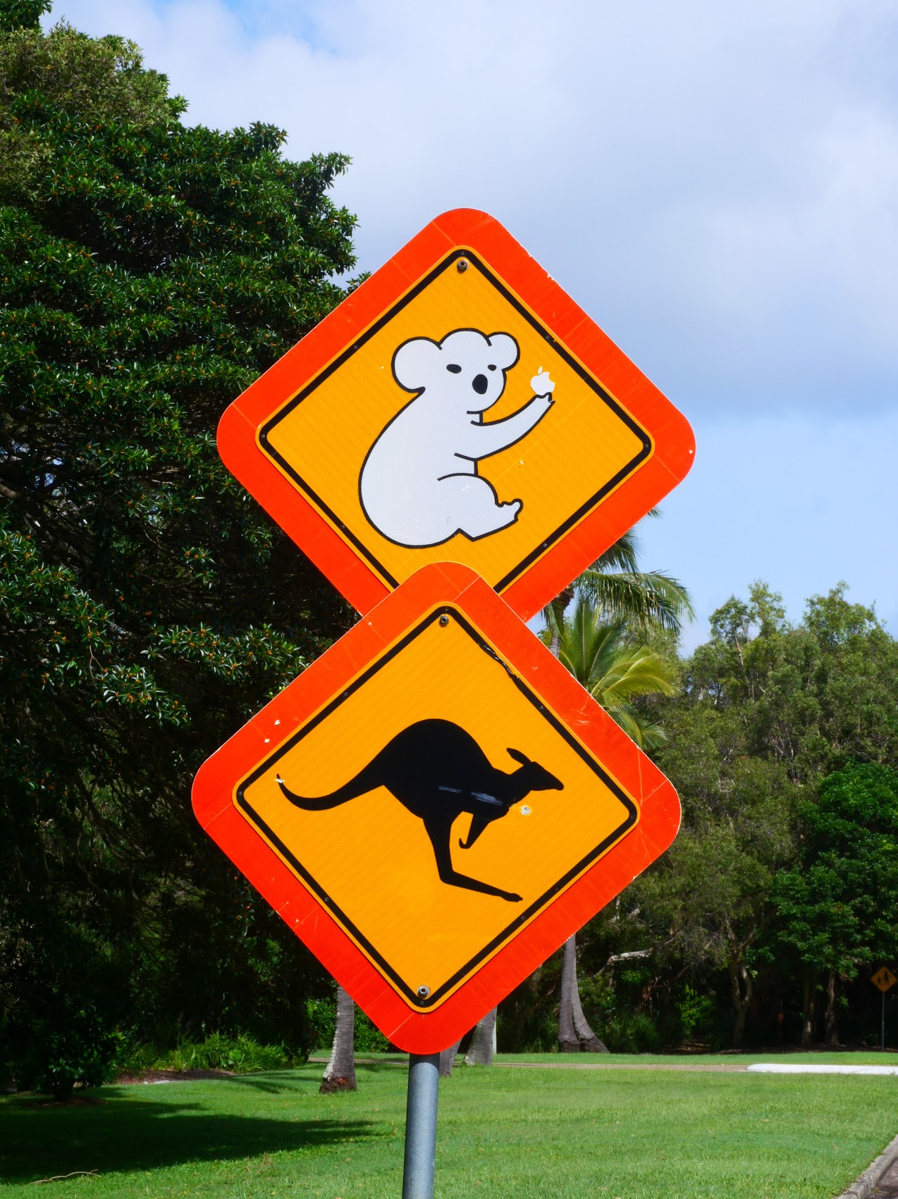
After over 6 weeks in Western Australia, on Thursday February 8th we headed across the continent to the Australian state of Queensland on the east coast where, in another week, we would be meeting our friends from Michigan, Denny and Wendy Madden. We had travelled with the Maddens in Scotland and, because of (or despite) that experience they were (amazingly!) willing to give it another go. (More about our adventures with Denny and Wendy in a bit.)
It had been our plan to get to the east coast of Australia about a week before Denny and Wendy were scheduled to arrive, ostensibly to adjust to the change in time zones (only 2 hours, so not so bad) and to try to get some blogging and trip planning “work” done, as well as to thoroughly rehydrate after what had been a particular hot and dry stretch of travel. We didn’t have any particular place in mind but, beyond our typical criteria – private bath, kitchen, private outdoor space, and separate bedroom (highly desirable for stays of more than a couple of days) – we were looking for someplace reasonably close to Airlie Beach on the Coral Sea coast where we would be meeting the Maddens on February 16th. Additionally, and if at all possible, we hoped to find a place that was within our budget (which, for Australia, was set at what seemed to us a whopping $125 per night) and we really, really, really wanted a place which was oceanfront (or at least had ocean views), which we were guardedly optimistic about given our increased budget and flexibility on location.
I could probably write an entire blog segment on how we go about finding a stay in distant remote places when we are travelling (which seems to be one of the things many people are interested in). In this instance (and as is usually the case), I began by searching Airbnb and Booking.com using the map function to do a geographical search (as both proximity to Airlie Beach and the coast were important to us) and filtering as I could based on our other criteria. This search turned up a short list of potential stays (including some really nice ones which were, invariably, beyond our budget) but, as is often the case, while we reviewed our options, places got booked by others and the short list got shorter.
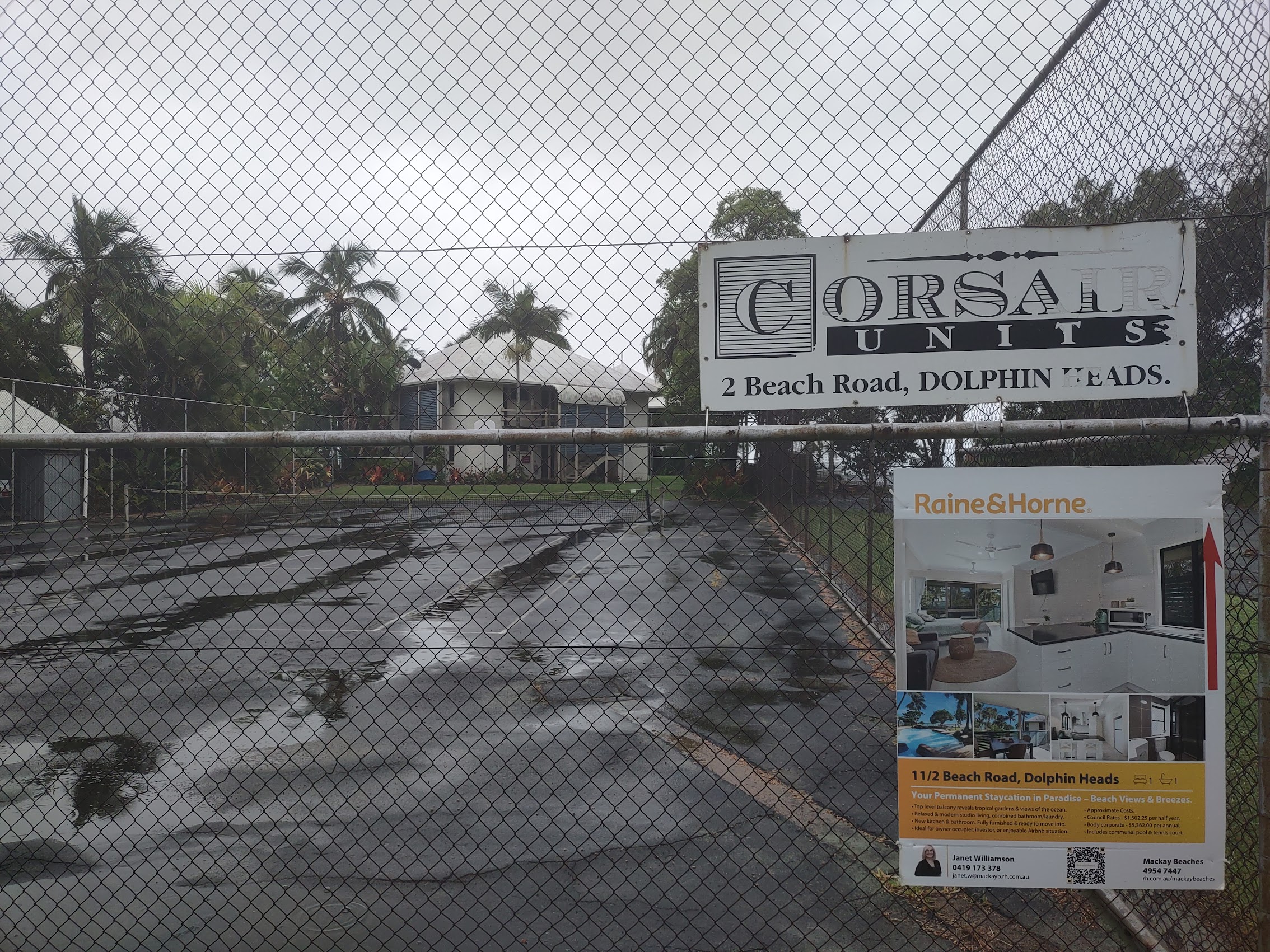
Amongst the quickly dwindling list of available places (mind you, still many weeks in advance of our planned arrival), was an Airbnb stay in an oceanfront apartment building called the Corsair Units, located on the Dolphin Heads peninsula about 15 kilometers north of the city of Mackay (pronounced ma-kai, with an accent on the second syllable) about 160 kilometers south of Airlie Beach. Although it was a studio (no separate bedroom) it was oceanfront and appeared to have pretty amazing views for what seemed like a ridiculously low $98 per night. (Too good to be true?) Up until this point, we had never heard of Mackay, but our travel logistician (Colleen) was able to confirm that there appeared to be a regular bus from there which would get us to Airlie Beach in about 2 hours and so, without further ado (and with the list of potential stays getting ever smaller), we booked it.
Mackay
The city of Mackay is located about 600 miles north of Brisbane at the mouth of the Pioneer River on what is known as the Coral Sea Coast of Queensland (yes, it is on a patch of the Pacific Ocean known as the Coral Sea). Queensland is a massive state, larger than many countries, and its tropical northern part has been historically remote and undeveloped, resulting in a distinctive regional character and identity. With a population of about 125,000 people, Mackay would be the first real city (not “town”) which we had visited in quite some time.

Mackay City is part of the traditional lands of the Yuwibara people. Captain James Cook sailed past the Mackay coast on June 1, 1770 and it was during this trip that the Endeavour’s botanist, Sir Joseph Banks, briefly recorded seeing Indigenous Australians. (A historically controversial issue as Great Britain would later declare Australia “Terra Nullius” – no man’s land – when it was claimed as a British colony.)
Mackay was founded by John Mackay, the first European to visit the region, who led an overland expedition there in 1860 and returned in 1862 to try to establish cattle stations (which ultimately did not work out). The settlement was originally called Alexandra (in honor of the Princess of Denmark?) but was later renamed Mackay after its founder. In 1863 Mackay was declared as a port of entry for settlers and so it began.
According to Wikipedia, during the 1860s, the local Aboriginal population, as Henry Ling Roth puts it, “did what they could to defend their country and their lives.” The local detachment of the Native Police under Robert Arthur Johnstone started patrolling the area in 1867 and encountered several Aboriginal camps on the north side of the Pioneer River, one of which contained more than 200 people. A newspaper report of the time says that Johnstone dealt with these people “in the usual and only effectual mode for restraining their savage propensities.” The usual mode of the Native Police was terror, violence and massacre.
In 1868 Johnstone and his troopers were sent out after a large group of Aboriginal people who had reportedly killed 7 cattle, but it is unclear if he succeeded in “administering a lesson to the blackskins.” Colonist George Bridgman provided some sanctuary to the remnants of the tribes and in 1871 an Aboriginal Reserve was established near Rosella, about 10 kilometers south of Mackay but shut down in 1885. As we learned, the treatment of First Nations peoples in the Mackay region was, unfortunately, pretty typical of the colonial period in Australia.
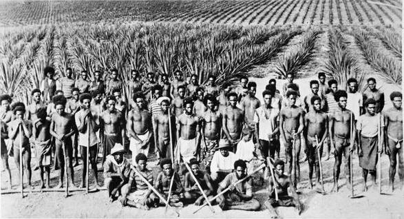
Significantly, in 1865, John Spiller, an Englishman who was connected with sugar plantations in colonial Java, planted the first sugarcane crop in the Mackay region and things quickly took off from there. For some time, most of the labor on the sugar plantations was provided by South Sea Islanders (South Sea Islanders, formerly referred to as Kanakas, are the Australian descendants of Pacific Islanders from more than 80 islands – including the Oceanian archipelagoes of the Solomon Islands, New Caledonia, Vanuatu, Fiji, the Gilbert Islands, and New Ireland) many of whom were “blackbirded” (lured through trickery or taken forcibly, essentially kidnapped) and were forced to work as indentured servants in slave-like conditions. (Another dark chapter in the history of Mackay and Australia).
But, beginning in the late 1800’s, Italian and Maltese immigrants were arriving in Mackay in large numbers to work the sugarcane plantations, and by the 1930s one third of Australia’s Italian migrants lived in North Queensland. The sugar industry flourished and Mackay became known as the “Sugar Capital” of Australia, producing a sizeable portion of Australia’s domestic supplies and exports, though the industry experienced a decline in the 2000s.
Mackay is also the gateway to the Bowen Basin, which is the largest coal reserve in Australia. The region has 34 operational mines that produce over 200 million tons of coal annually. Most of the coal is used in Australia, but Japan and China are the largest export destinations. Chinese demand for coal resulted in a mining boom in the region from 2002 until 2013 and, although that demand has cooled somewhat in recent decades, support of the mining industry continues to be an important part of Mackay’s economy.
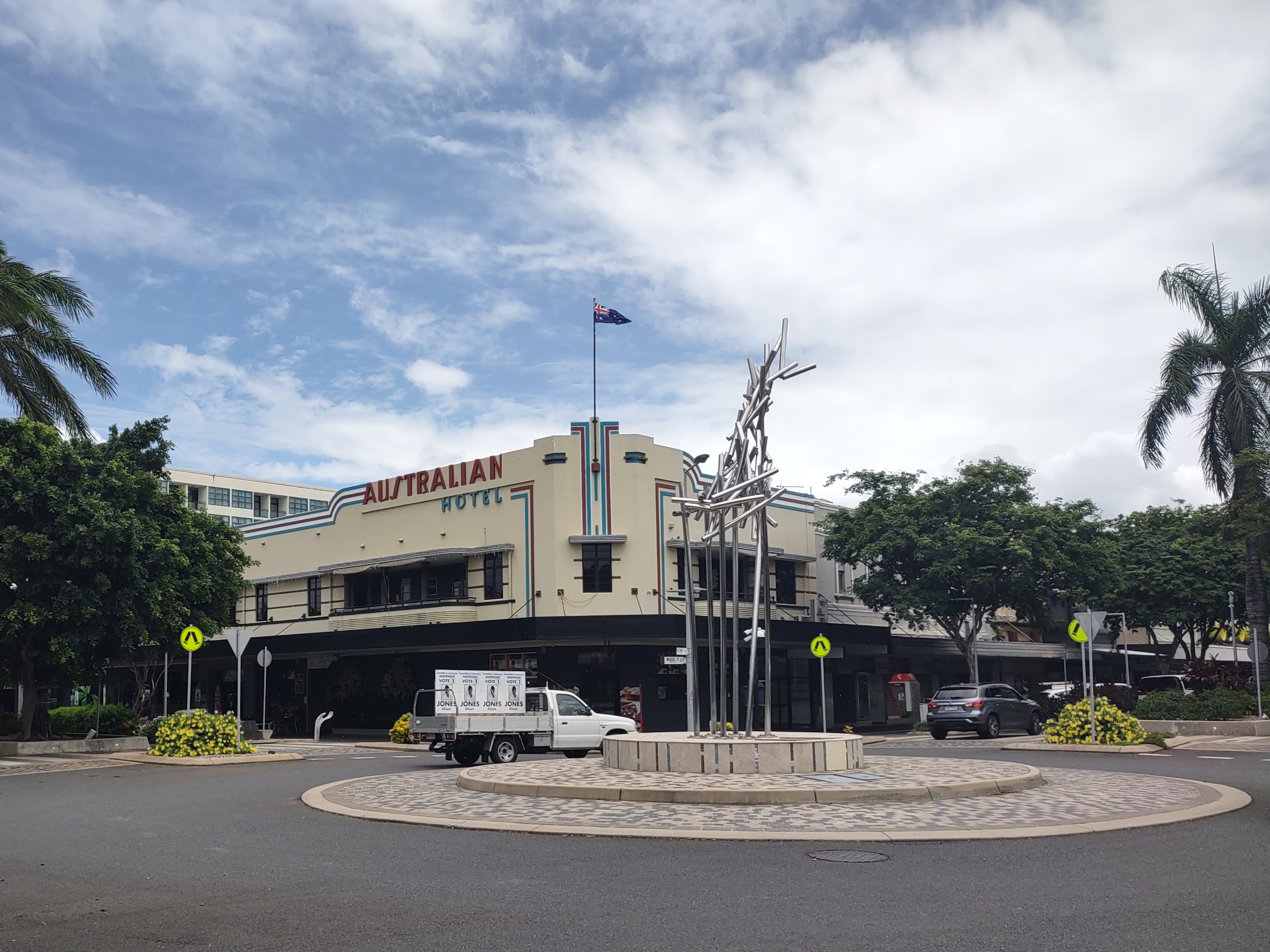
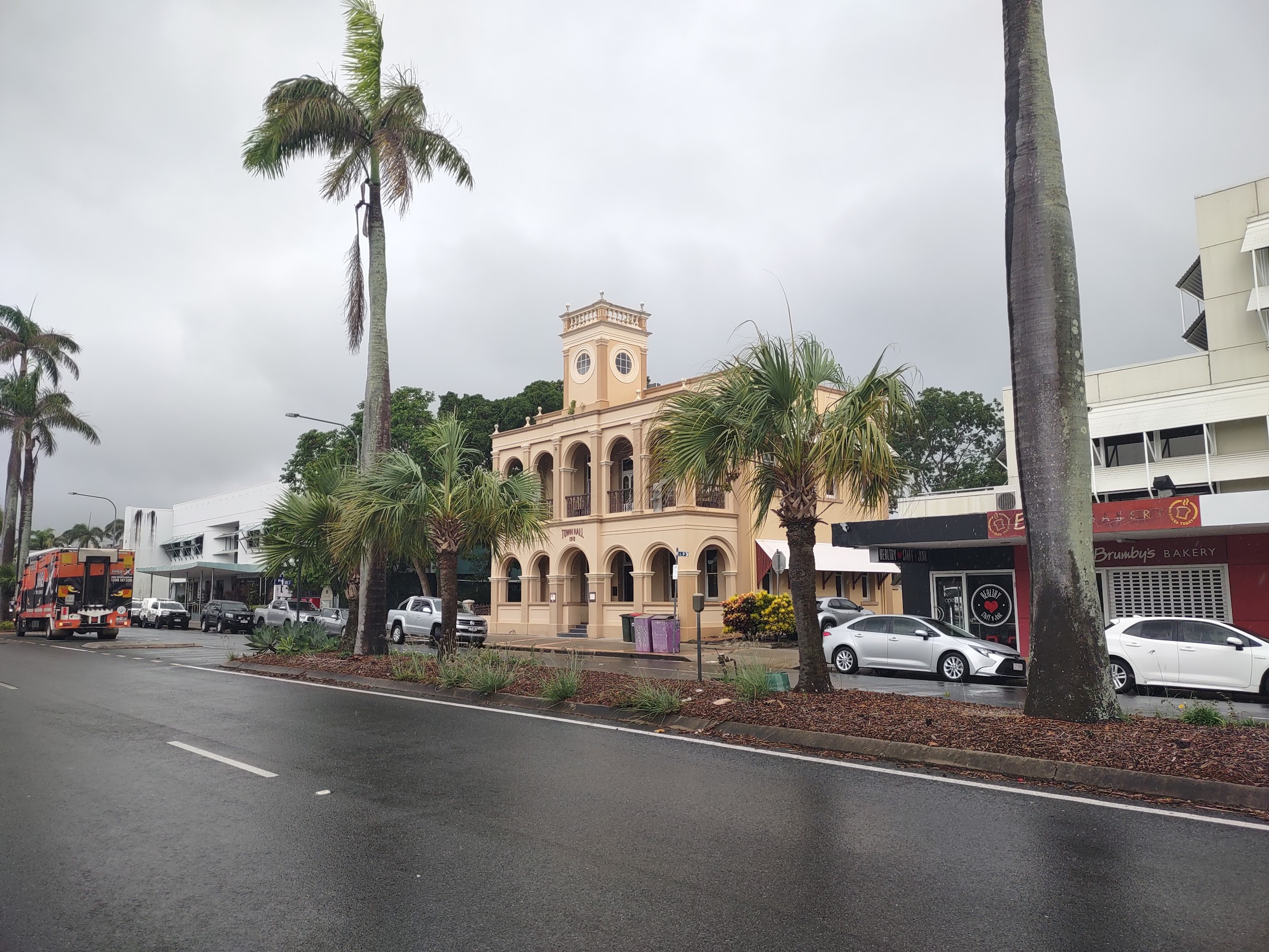
While the more recent Tropical Cyclone Kirrily left Mackay unscathed, they were not so lucky back in January 1918 when a category 4 cyclone slammed into the town with violent winds and a 12 foot storm surge which reportedly killed 30 residents and destroyed 1,300 of the 1,400 homes and buildings in the town. As a result of this tragedy, much of the town was rebuilt through the 1920’s, including the construction of many new Art Deco and Spanish Mission style buildings for which Mackay remains famous.
Despite being close to notable attractions including Eungella National Park, the Great Barrier Reef, and the Whitsunday Islands, Mackay’s tourism industry is small and still developing compared to many of its neighboring cities and regions in Queensland.
Getting There
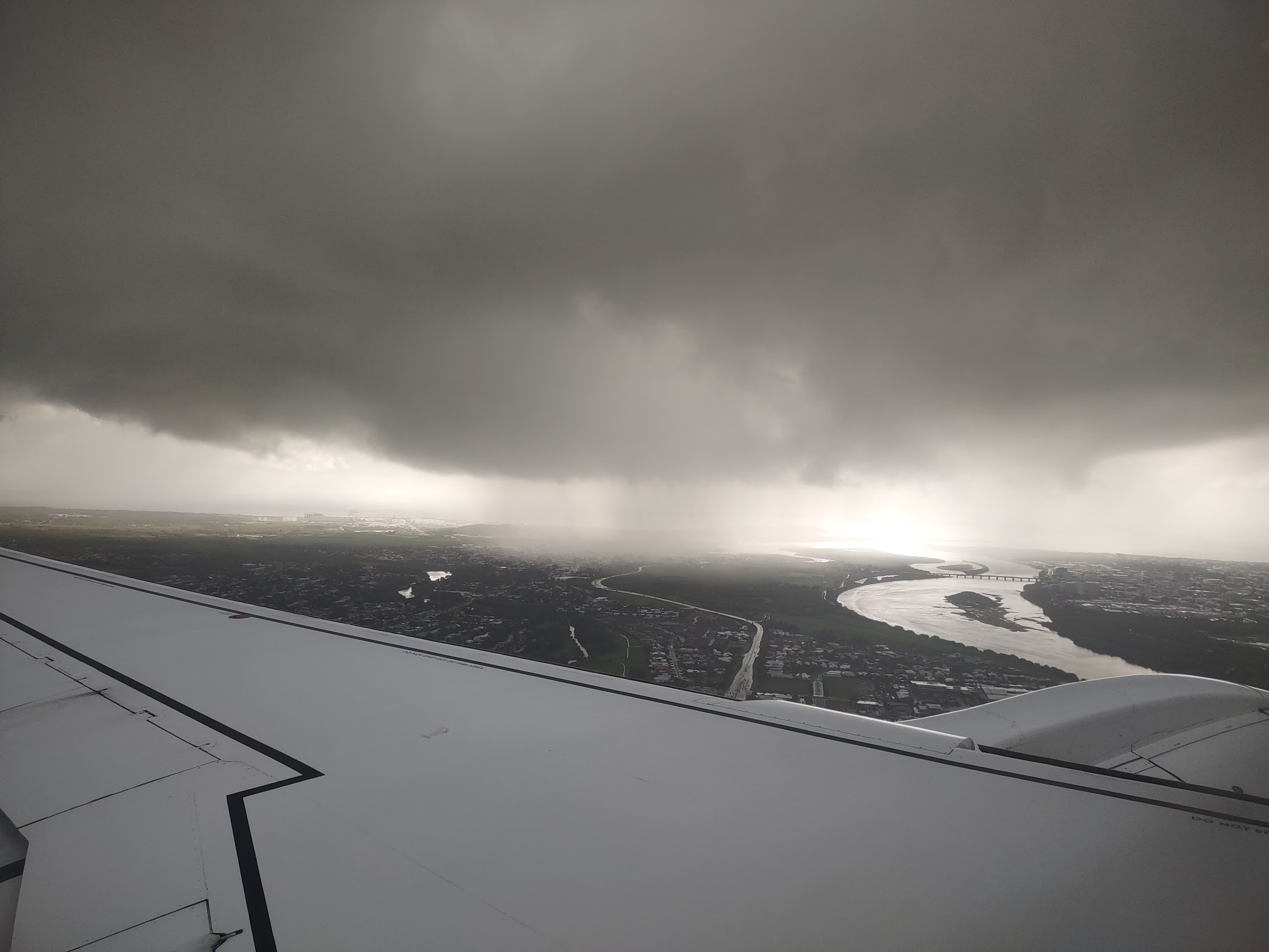
With our luggage once again pared down for air travel, we departed our place in Cable Beach, Broome around 1:00 PM on Thursday February 8th and, 3 flights and about 3,800 miles later, we arrived in Mackay, Queensland the next day at around 7:30 AM. (Which to us, after having crossed 2 time zones while travelling across the continent, felt like 5:30 AM.) It was cloudy as we approached Mackay Airport with what looked like heavy showers to the north of the city (where we were staying!).
I have to confess that weather during our stay in Queensland was a bit of concern to us as we were visiting not only during the “wet” season (which runs from November to April), but also during cyclone season which (not uncoincidentally) also runs from November to the end of April. (“Cyclones” are what they call hurricanes in the southern hemisphere.) In fact, we had, for a couple of weeks prior to our arrival, been following the progress of Severe Tropical Cyclone Kirrily (yes, they name them the same way we do hurricanes), which had been tracking across the Pacific in the general direction of Mackay and the Coral Coast of Queensland.
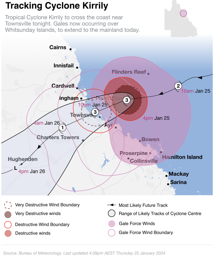
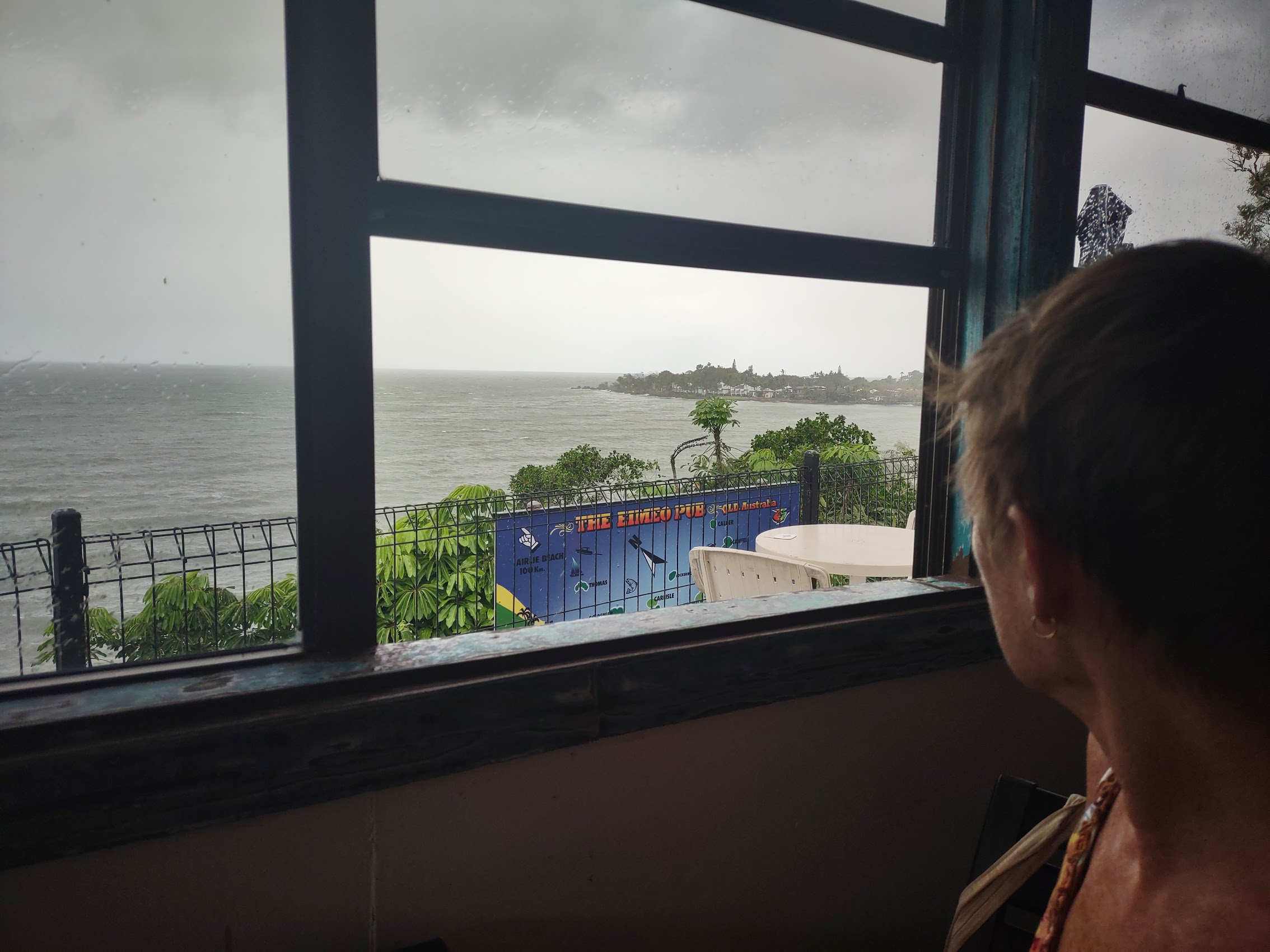
Fortunately, our concerns were for naught as Cyclone Kirrily lost steam pretty quickly after making landfall on January 25th a couple of hundred miles to the north of Mackay and, while there was lots of wind and rain and some localized flooding, damage was minimal and it didn’t appear that it would have any impact on our travels in Queensland.
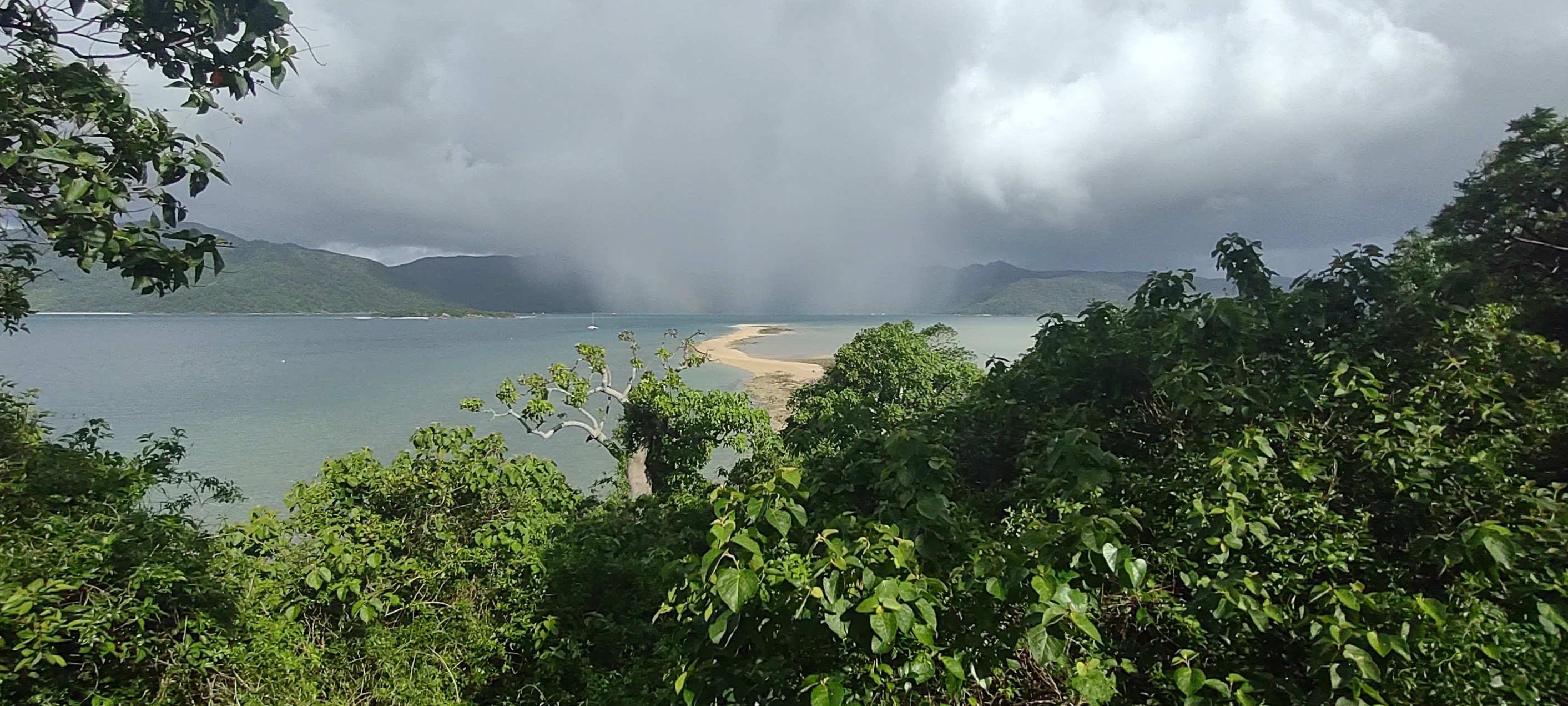
As we landed in Mackay, the sun had come up and the cloud cover broke for a moment to reveal patches of blue sky and some rainbows to the north, but by the time we left the airport, it was drizzling on and off. With temperatures back down in the comfortable 80’s the light drizzle felt quite refreshing compared to the hot, arid, and often dusty climate which we had experienced over the last couple of weeks in Western Australia, though we suspected that the novelty of it would wear off quickly. As regards the “wet” season, we discovered that while it does rain almost every day, it doesn’t rain all the time, and we did ultimately get plenty of sunshine during our stay.

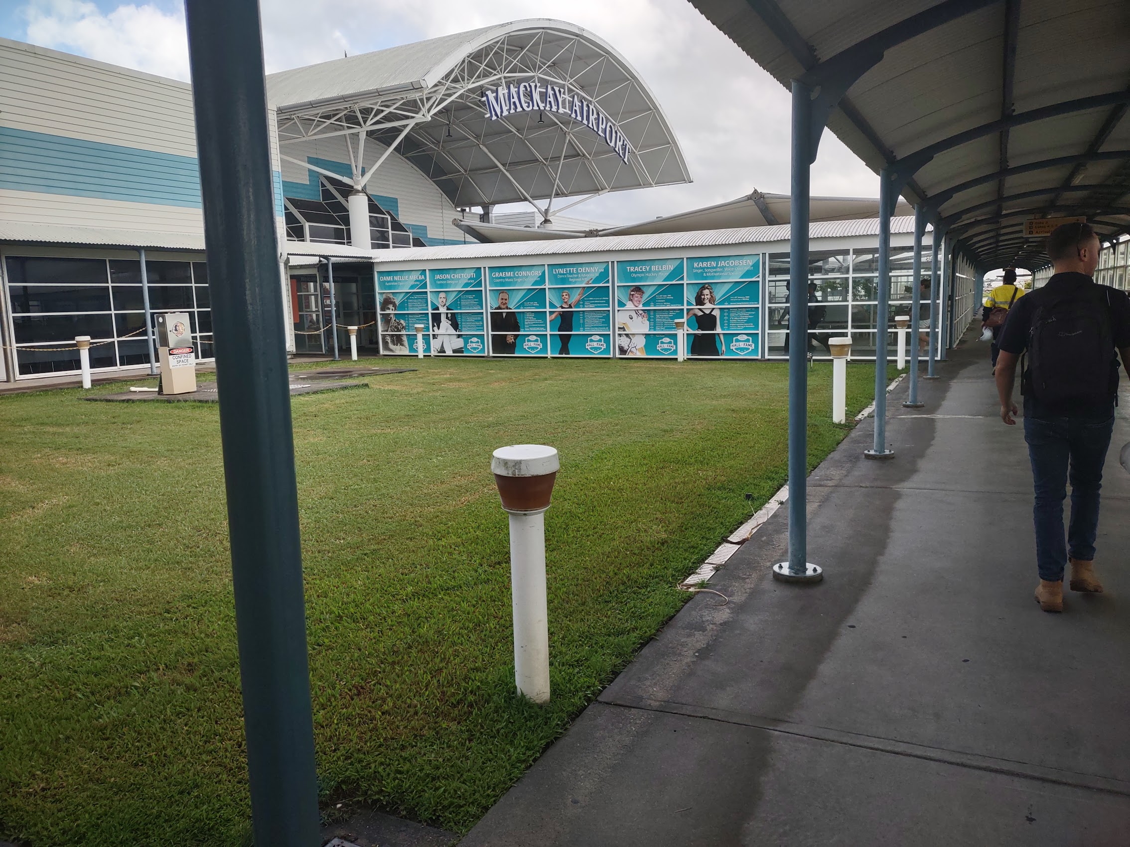

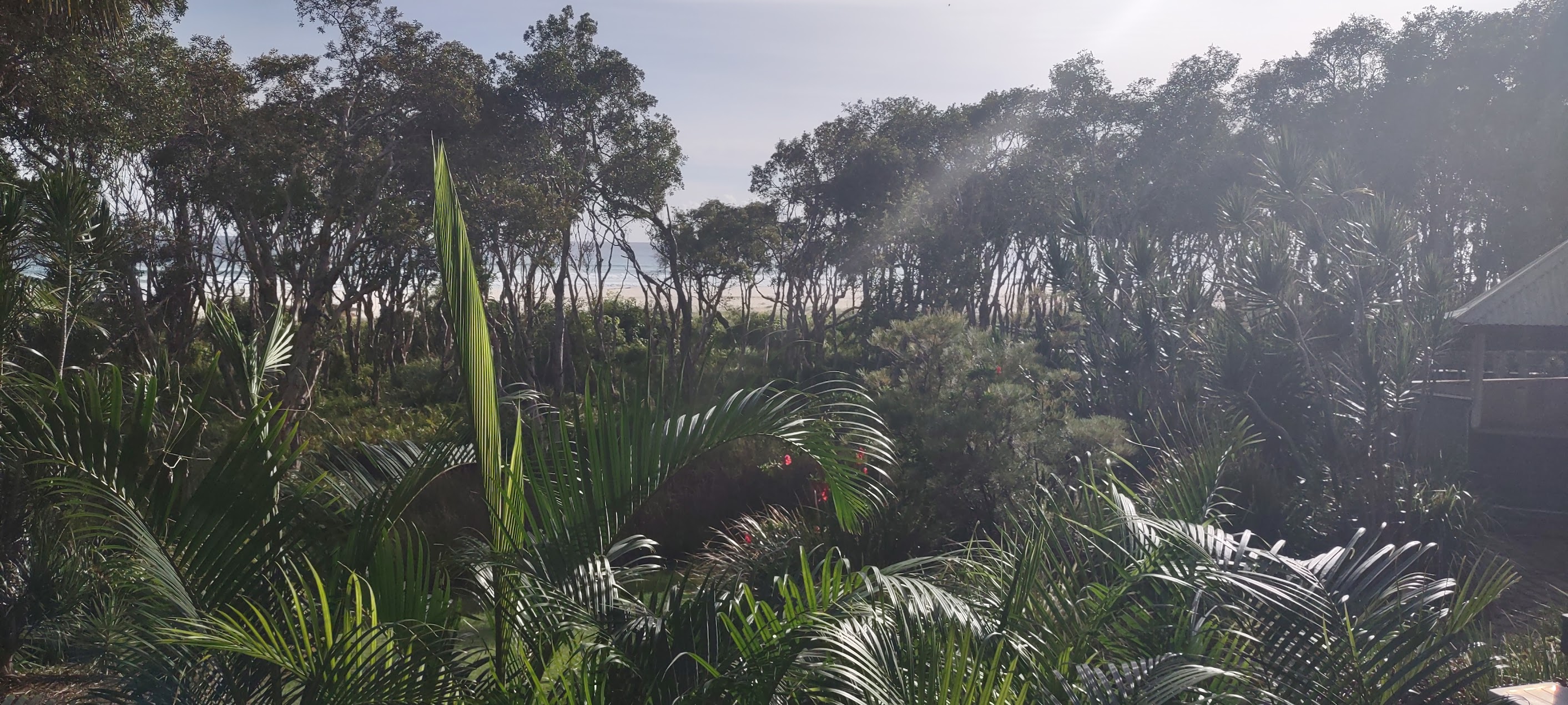
From the Mackay Airport, which is about 5 kilometers south of the city, we took a taxi to our stay for the next week, the Corsair Units in Dolphin Heads, about 20 kilometers to the north (which we were a little shocked to find cost us $30!). Along the way we got our first glimpses (through the on and off drizzle) of Queensland and the countryside around Mackay which, compared to the dry arid coast of Western Australia seemed unbelievably lush and verdant, even (yes) tropical! (We learned that, amongst other things, Mackay is home to Australia’s longest stretch of sub-tropical rainforest.)
The Corsair Units at Dolphin Heads
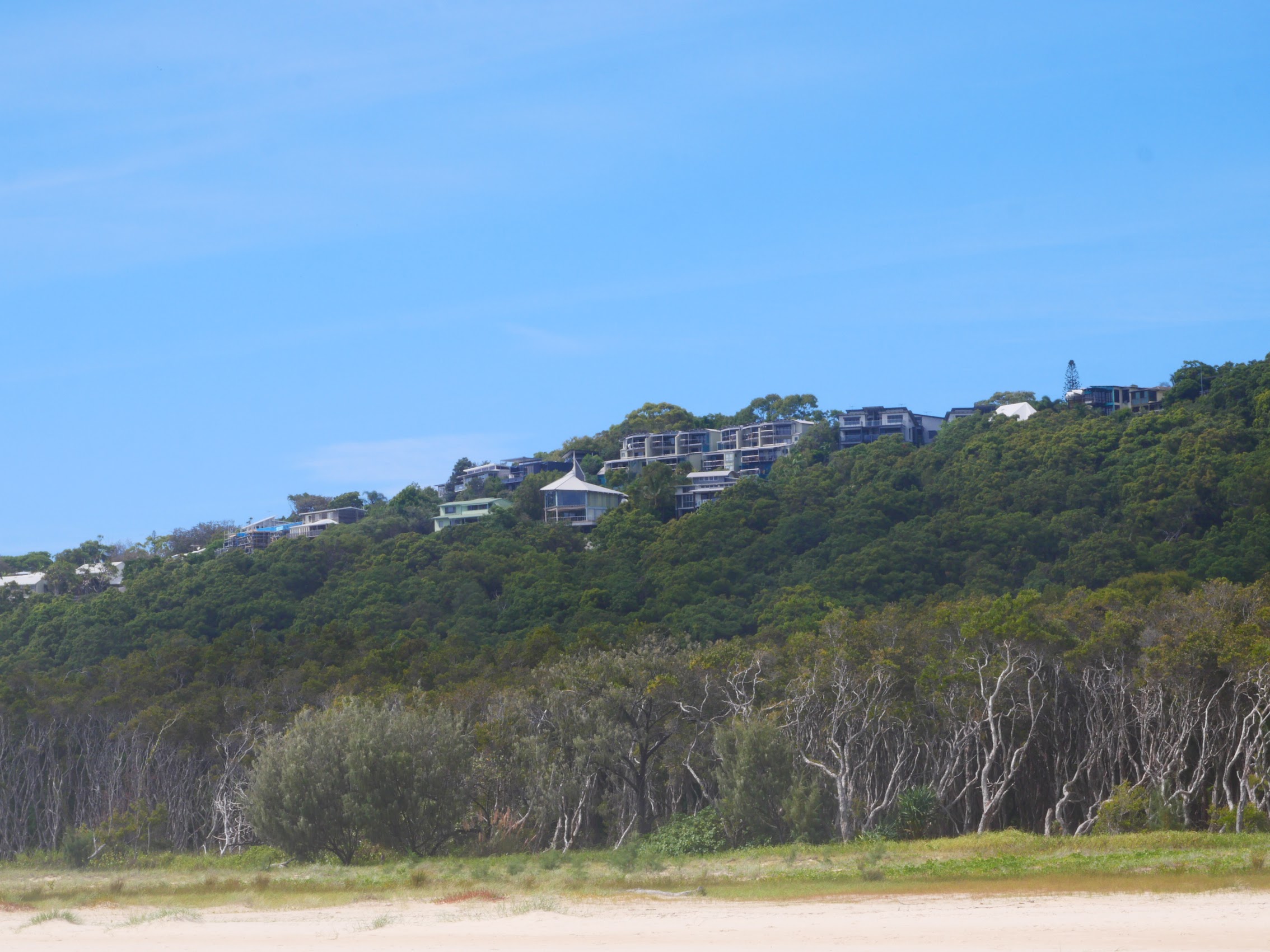
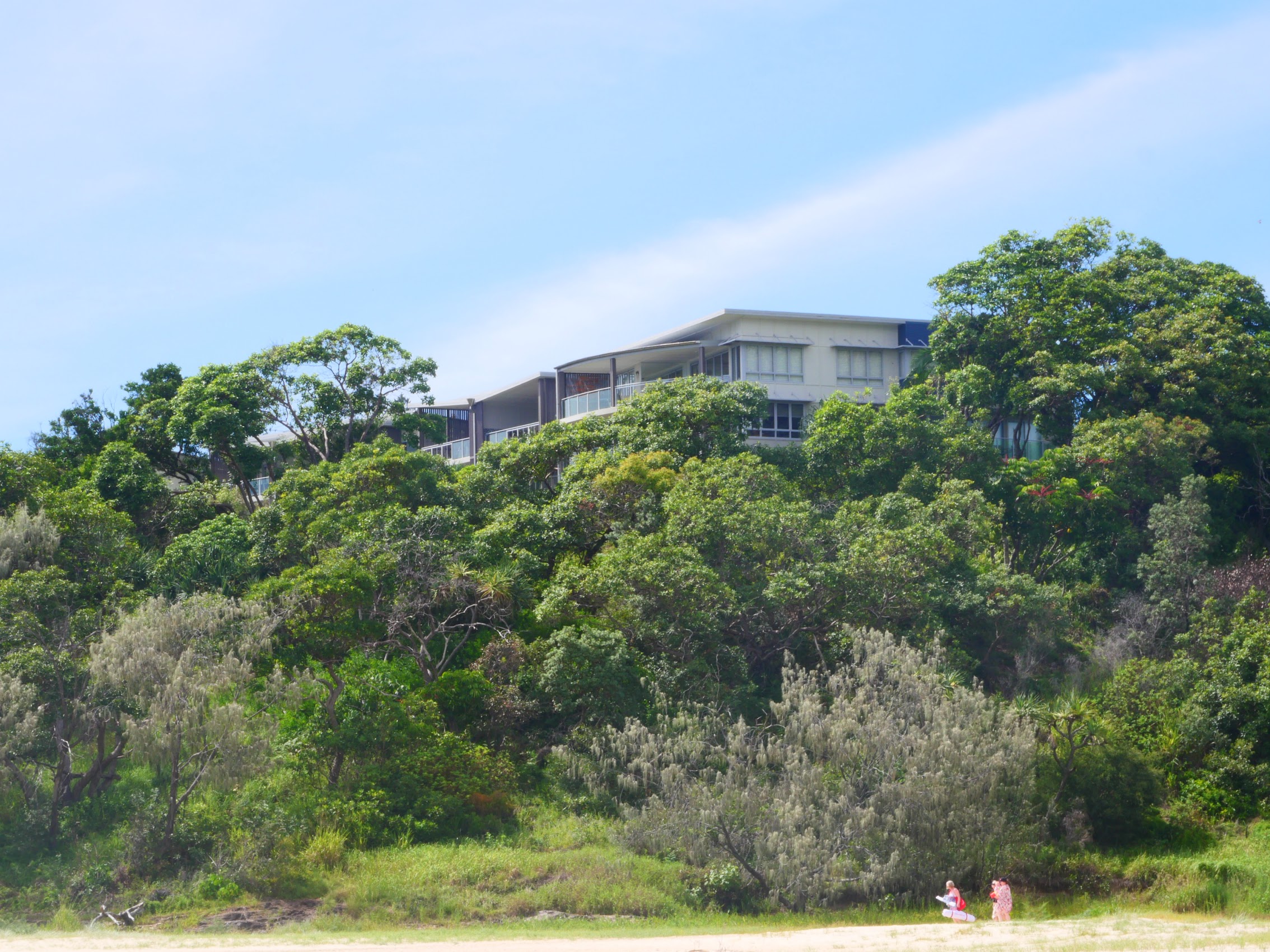
After about a 25 minute drive, we arrived at the Corsair Units at Dolphin Heads, which, from the street, looked like a place which had seen better days. While there was perhaps some truth to this first impression, the Corsair Units actually turned out to be (spoiler alert!) a great place to stay though there were some tradeoffs, some of which (unfortunately) came as a bit of a surprise to us.
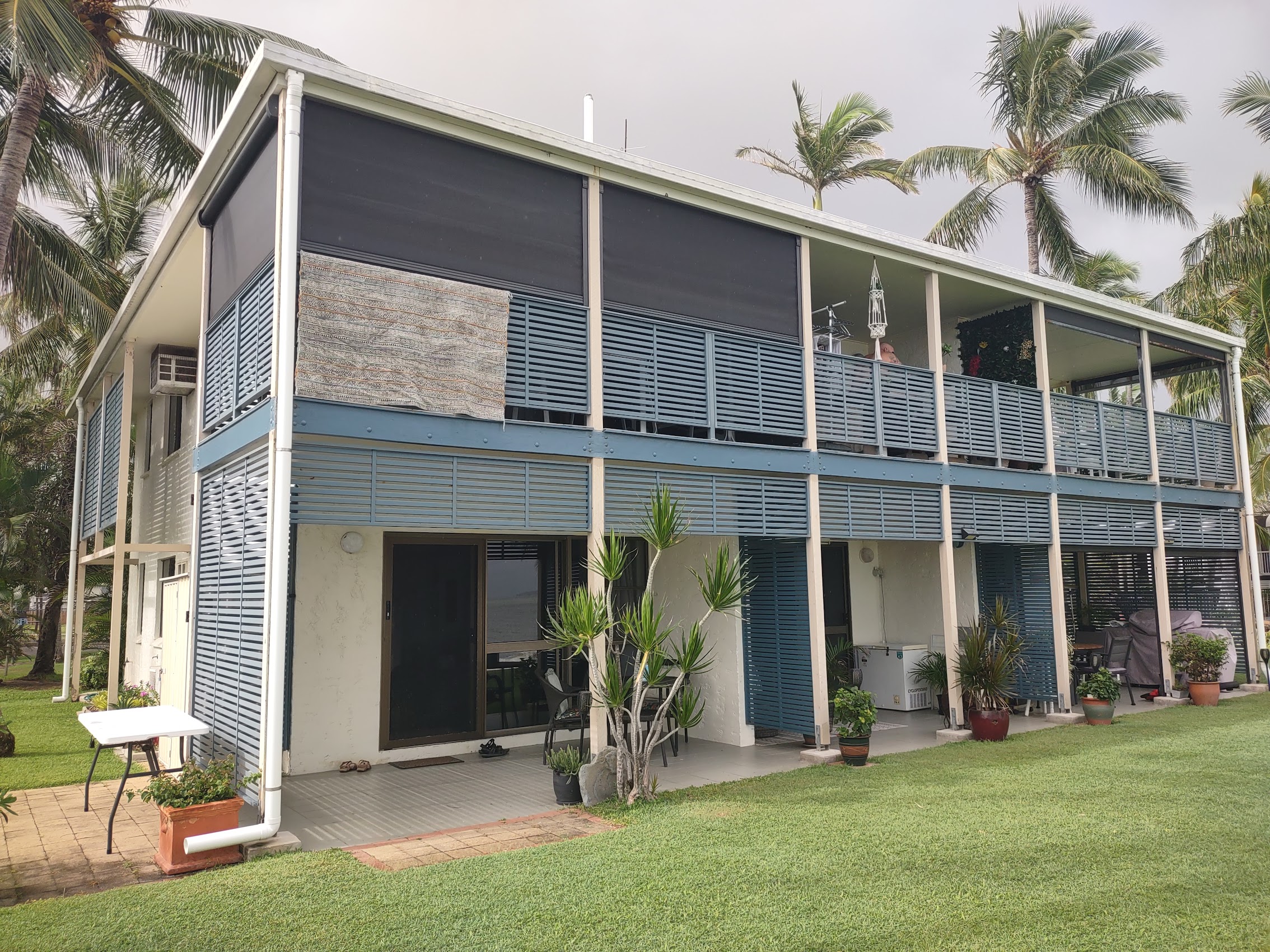
The apartment was reasonably well equipped and furnished and, although it was a studio without a separate bedroom (known tradeoff) we particularly liked the location of the bed at the rear of the apartment near the patio so that you could see the ocean and hear the surf at night while lying in bed which (for Colleen especially) is priceless. (We always find it a bit sad and try to avoid staying in places which are oceanfront but which have the bedroom tucked away in the back with no view of the ocean. Makes no sense to us…)
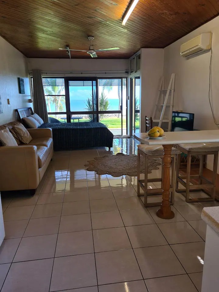
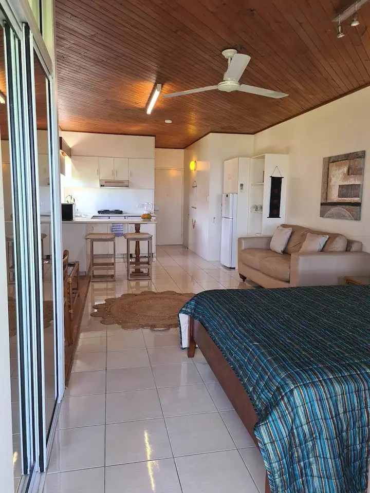
The building only had six apartments and we were on the ground floor at the end furthest from the adjoining resort which afforded us a fair amount of privacy (as well as a couple of extra windows). The other apartments seemed to be occupied by full-time residents, some of whom we met during our stay and they were all quite friendly.
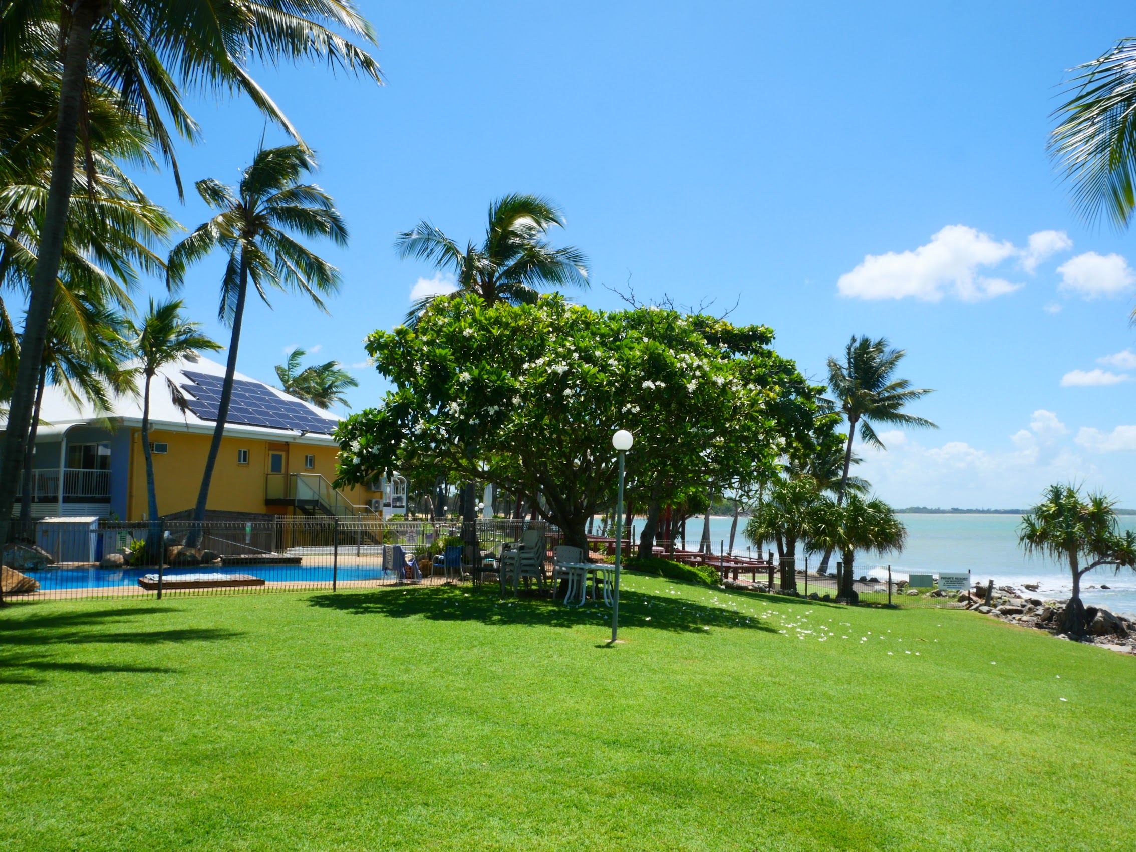
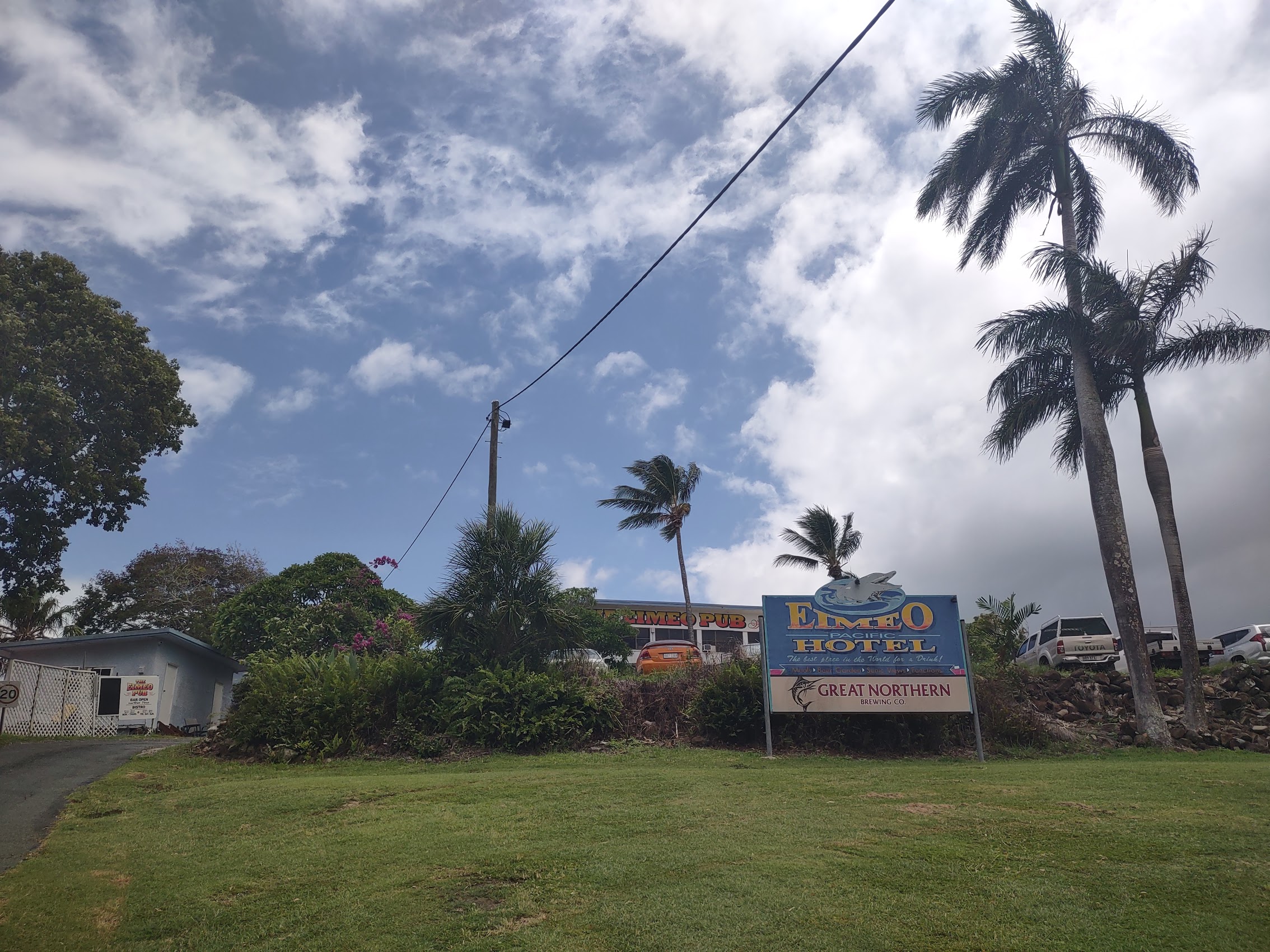
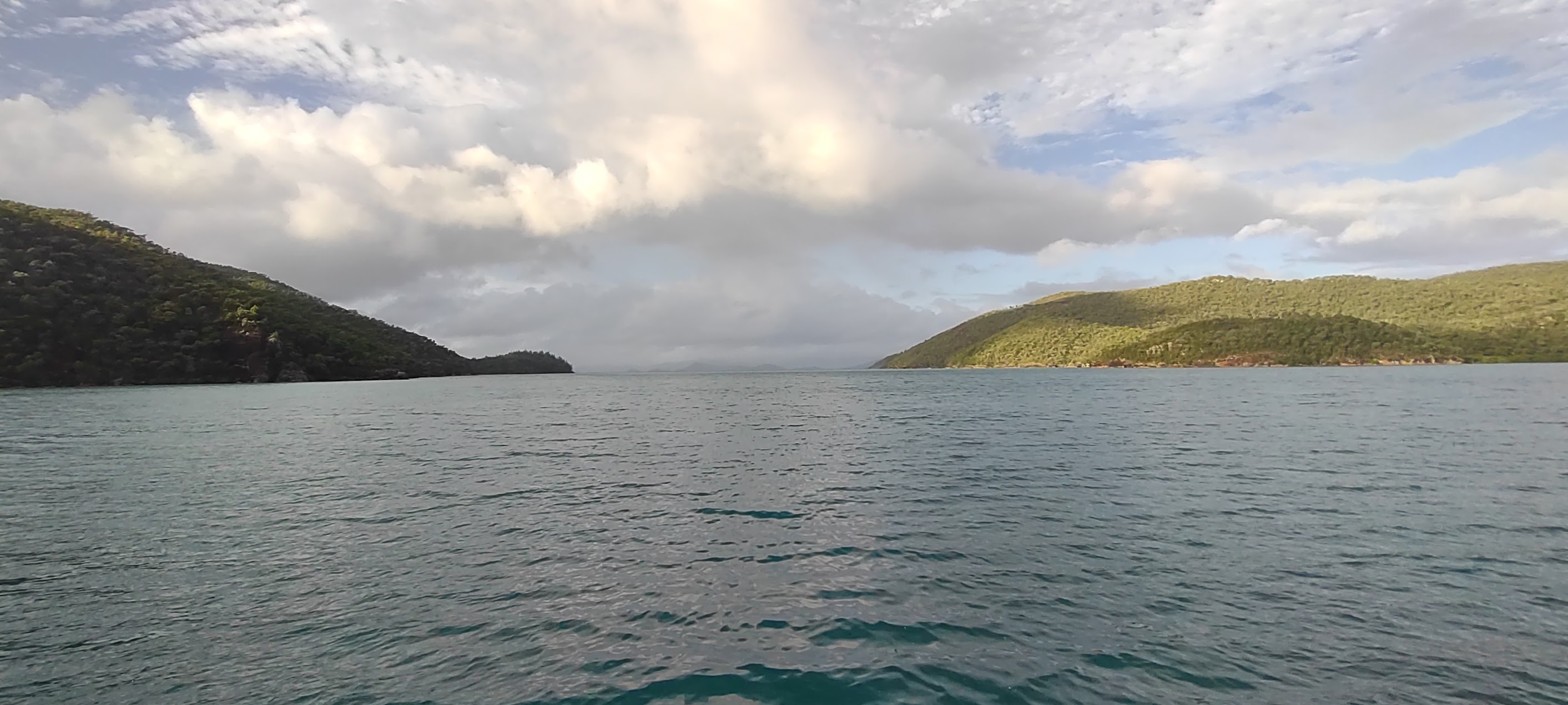
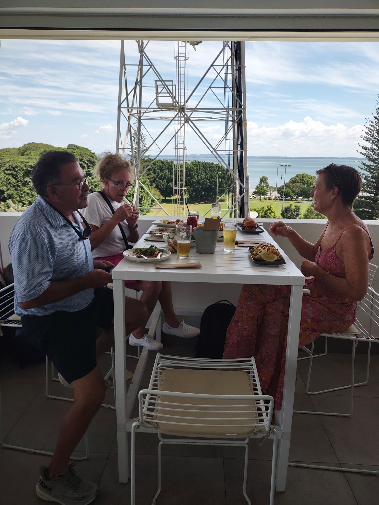
Without a doubt, the best feature of the Corsair Units was its location at the tip of the Dolphin Heads peninsula with wonderful views of the Pacific Ocean and glimpses of the Cumberland and Whitsunday Islands to the north and the Great Barrier Reef to the east. (Although we couldn’t actually see it, we knew it was there!)

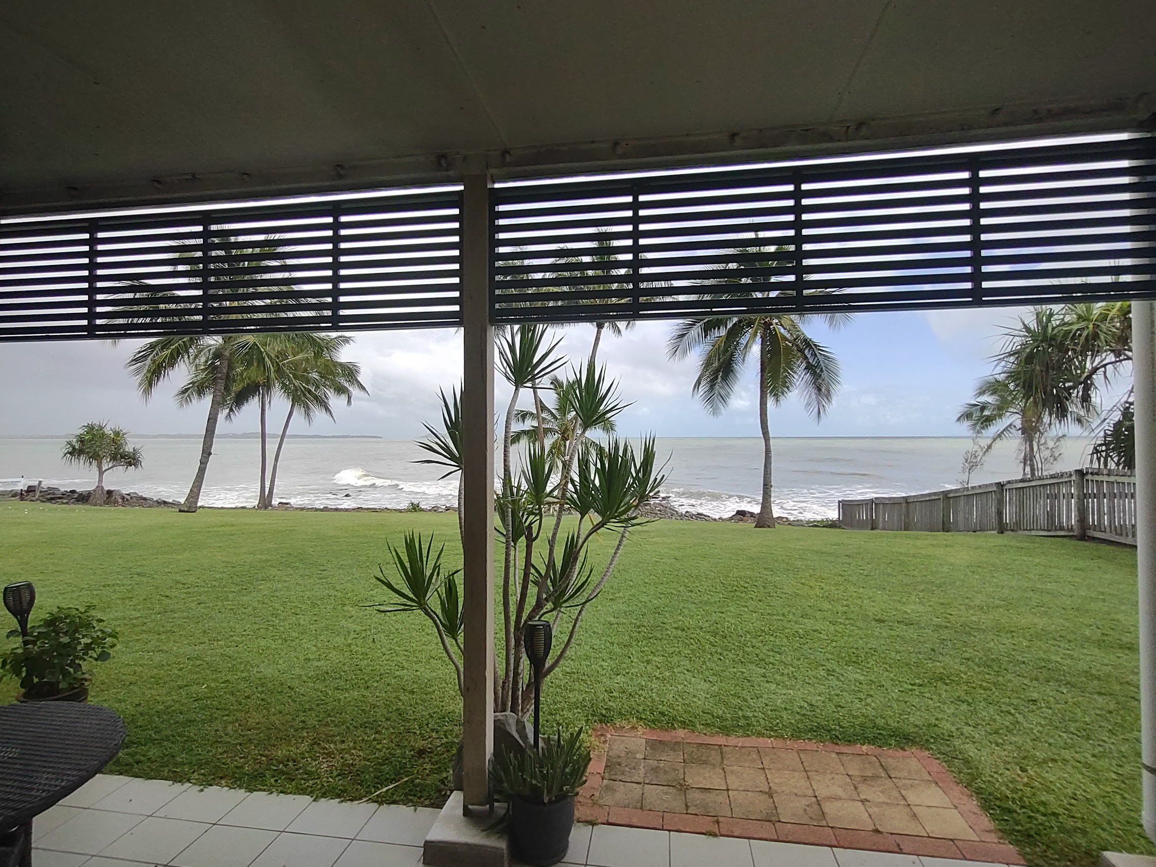

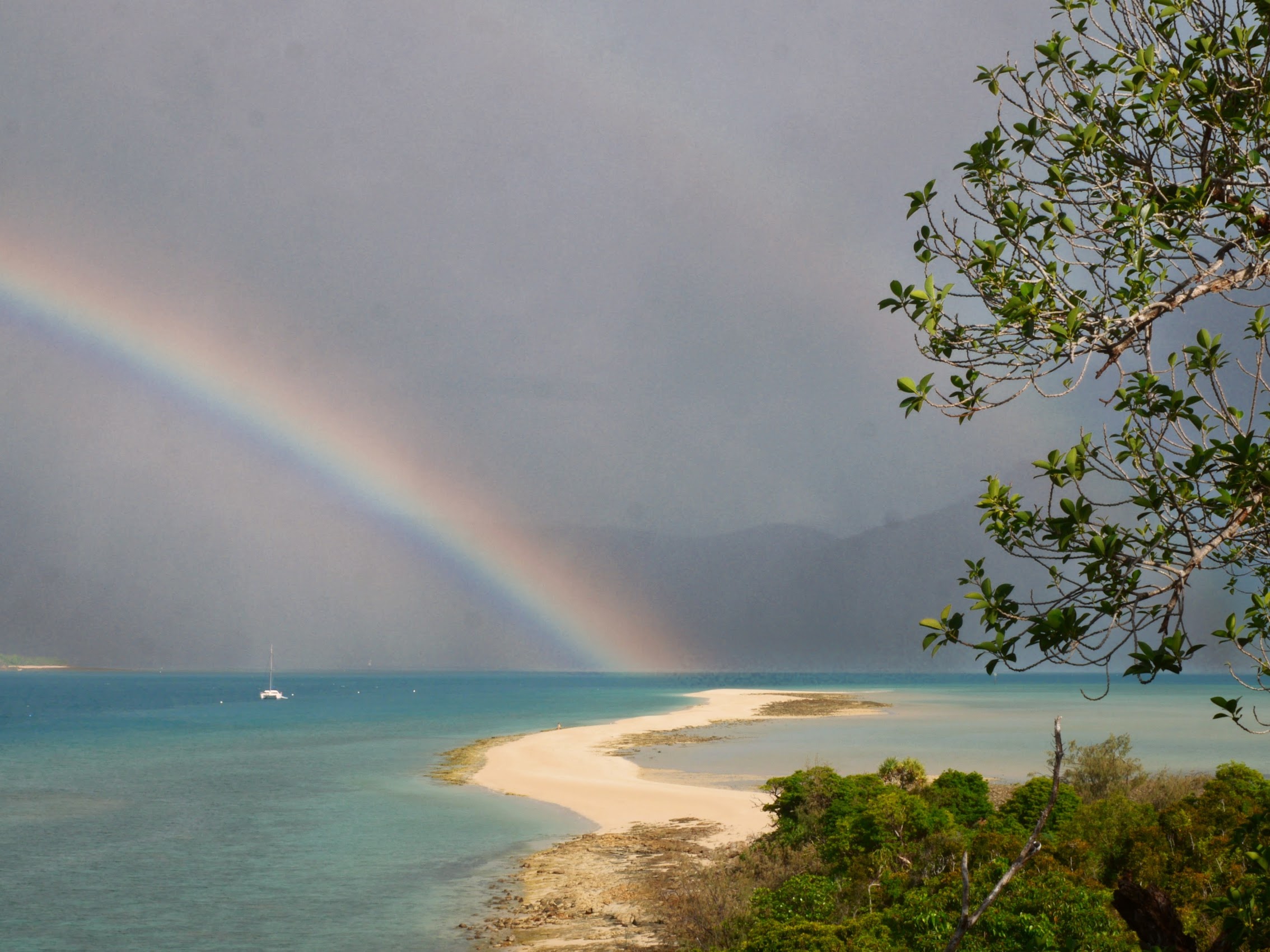
The place had a nice back yard with real grass (more than we had seen in weeks!), a nice shared pool (invariably empty) just a few steps away, and our own private “Beach Club” (actually just a table and a couple of benches, but oh what a view!) which, on occasion during the course of our stay, also had its own private rainbow!


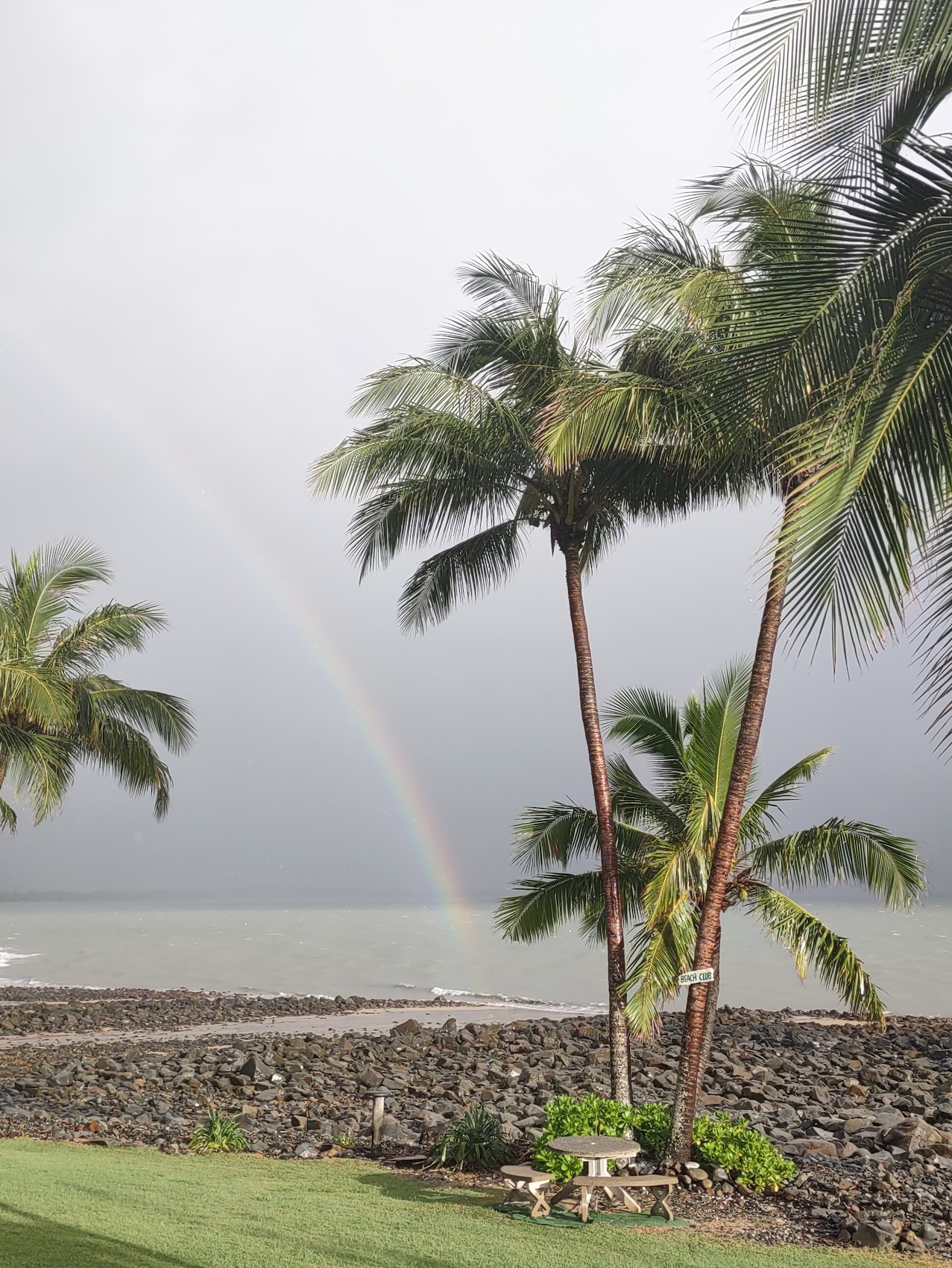

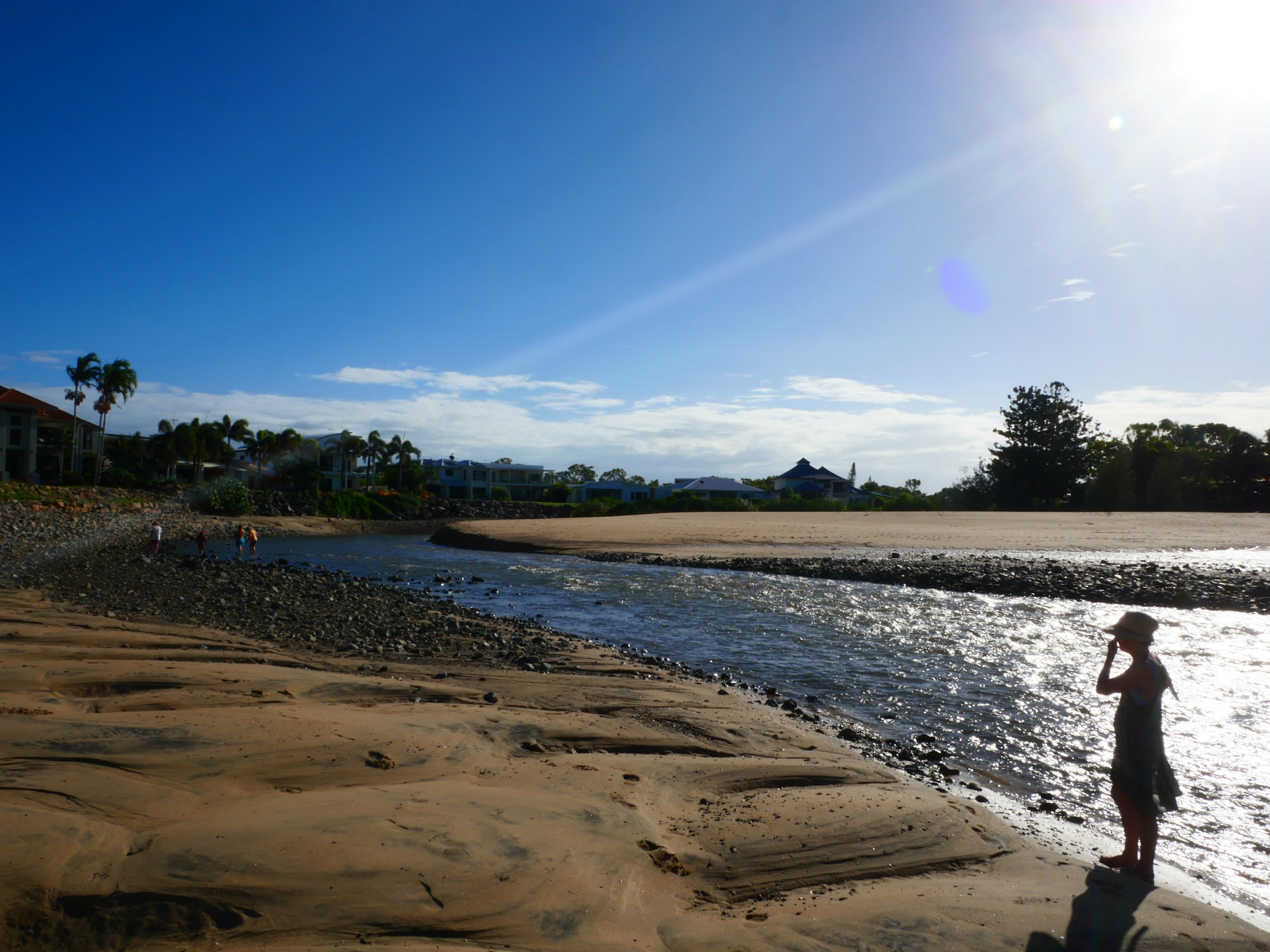
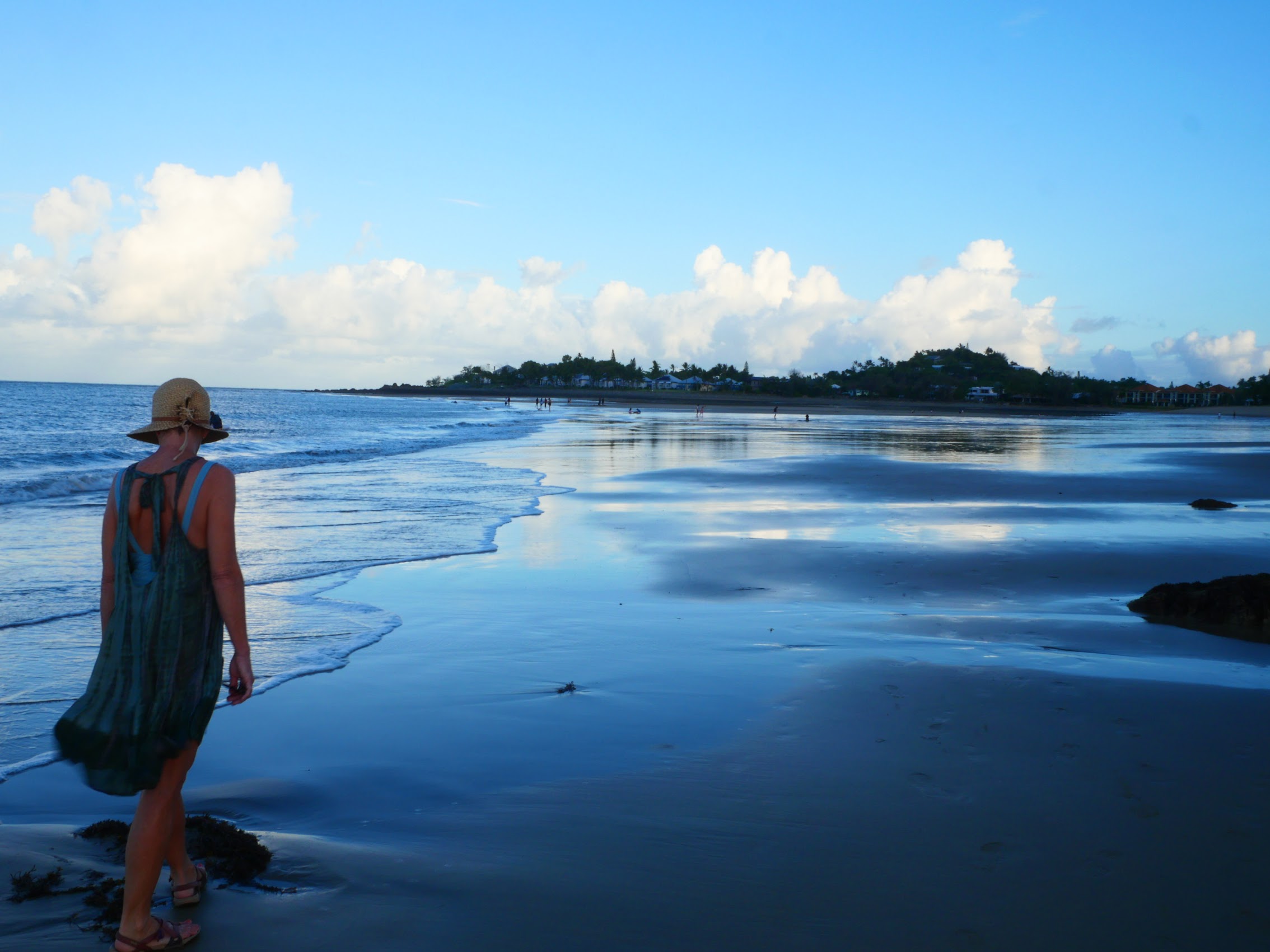
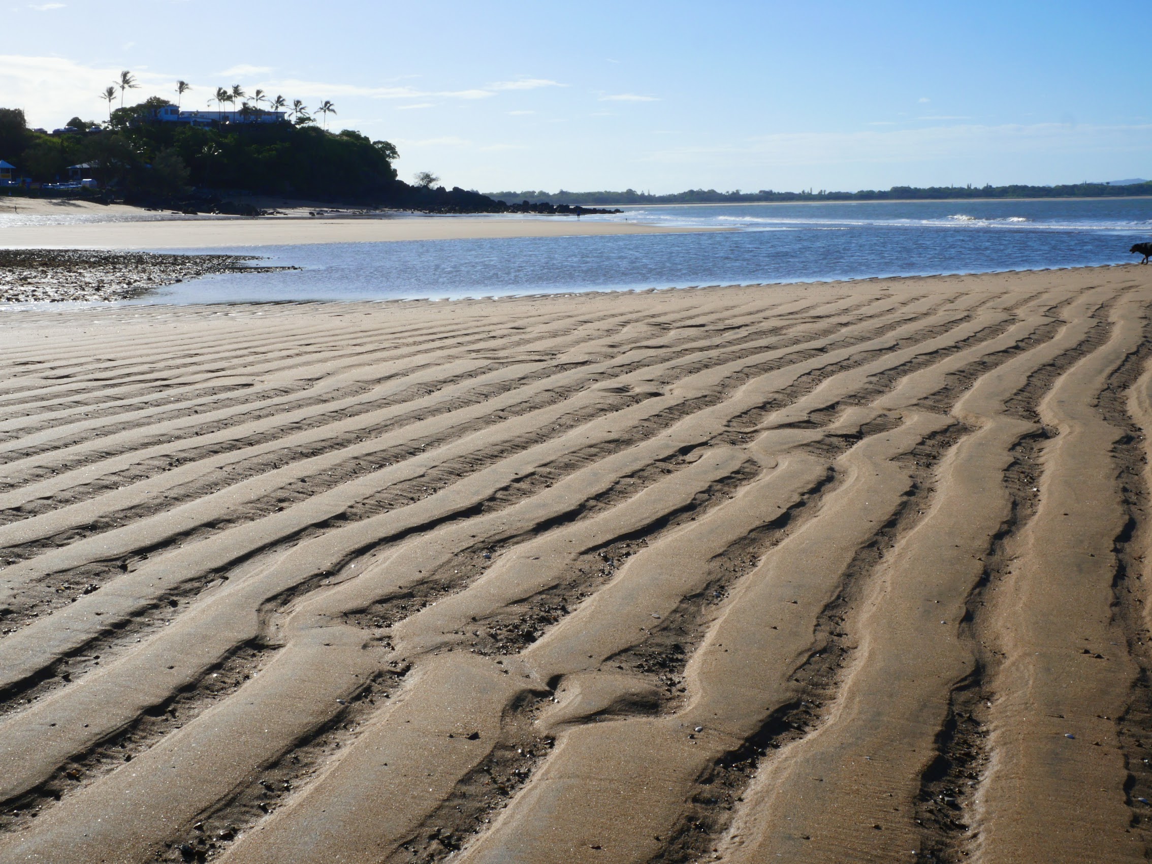
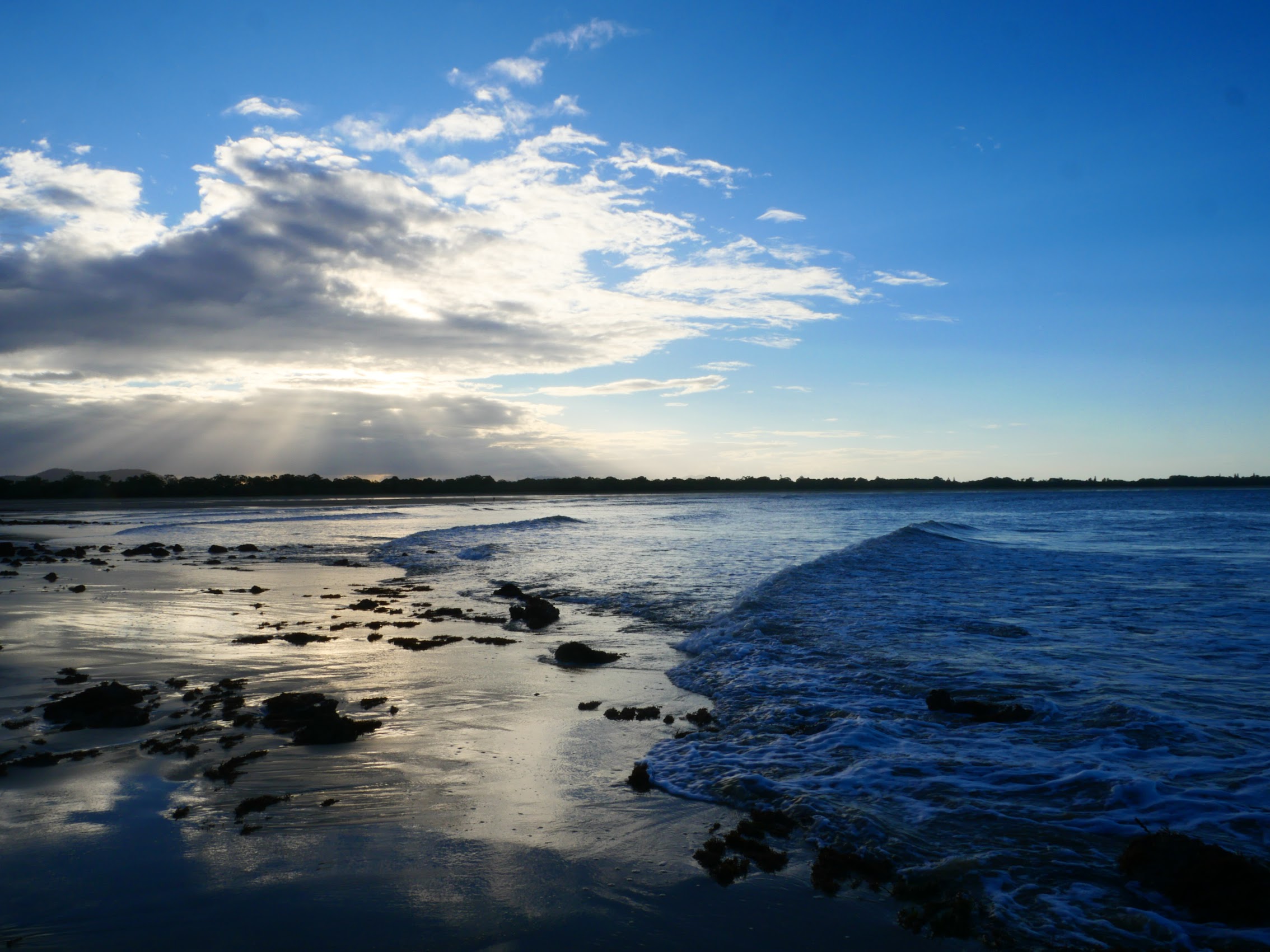
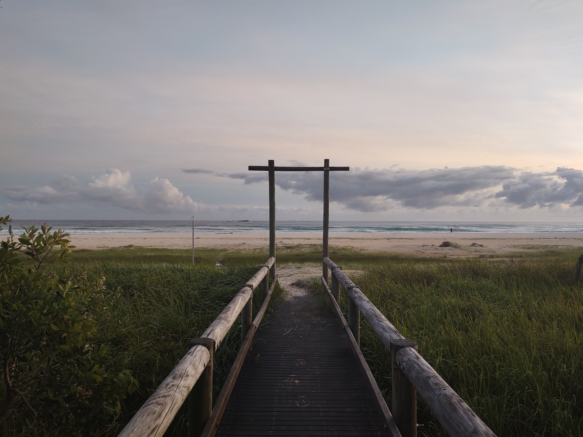
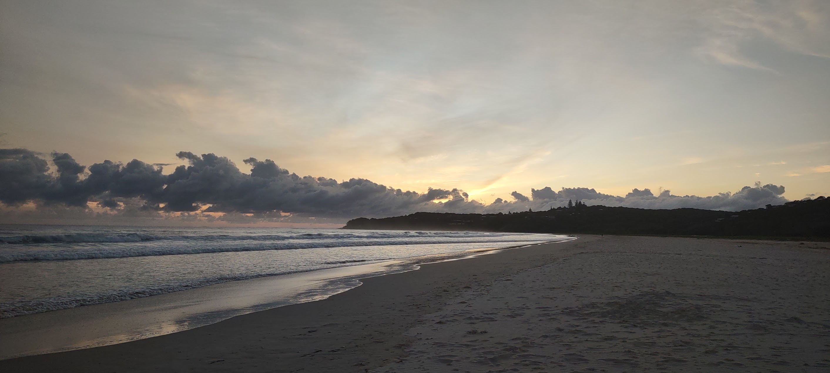
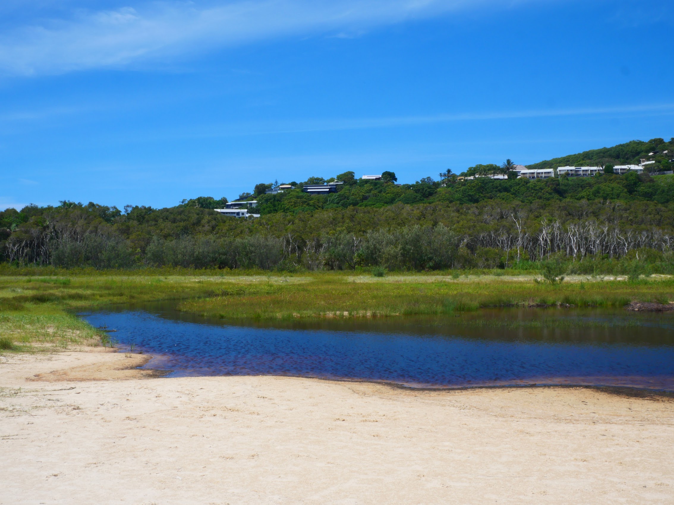
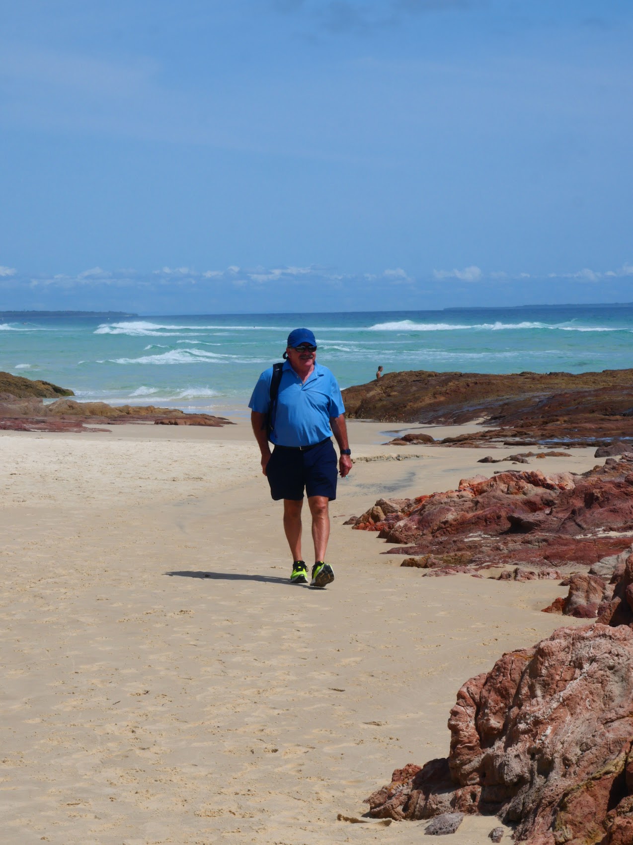
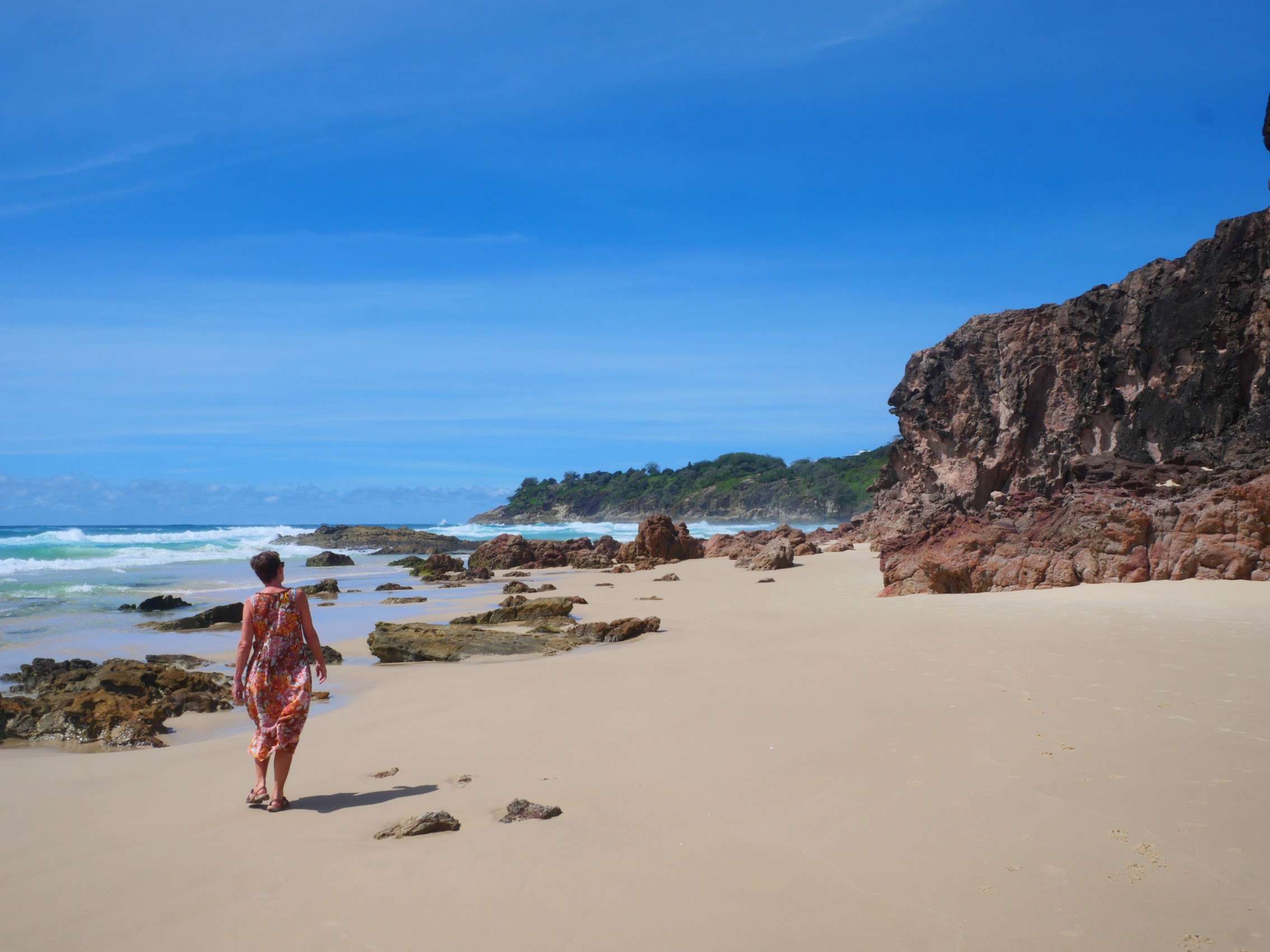
The shoreline in front of our place was mostly rocks with a small patch of sand when the tide was out but there was a very nice beach (Eimeo Beach) just to the north, though we did have to traverse (or go around) a large field of rocks and cross a small river estuary to get there. It was a wide flat beach whose size and shape changed quite a bit as the tides came and went leaving some interesting patterns behind in the sand when they receded.

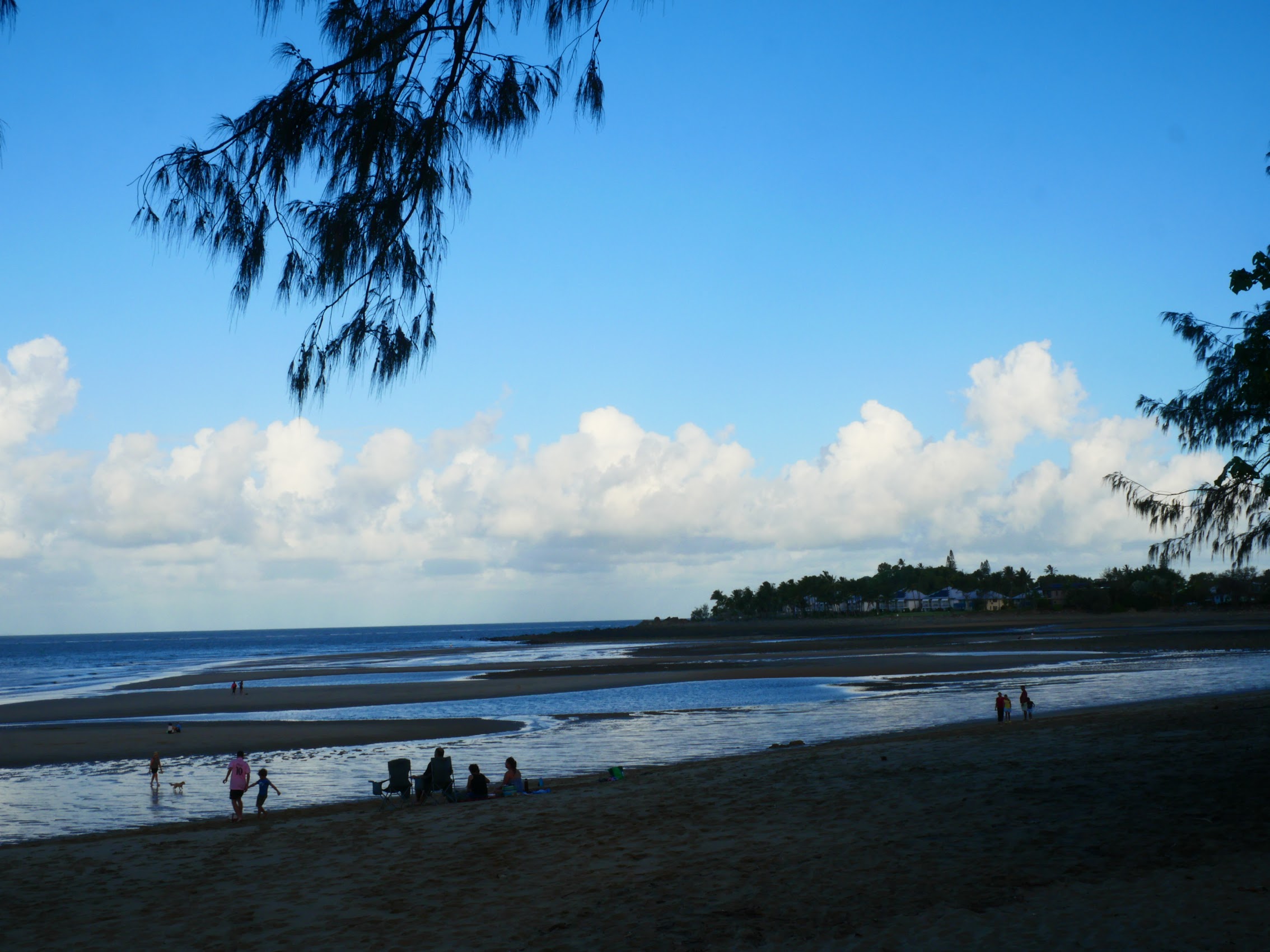
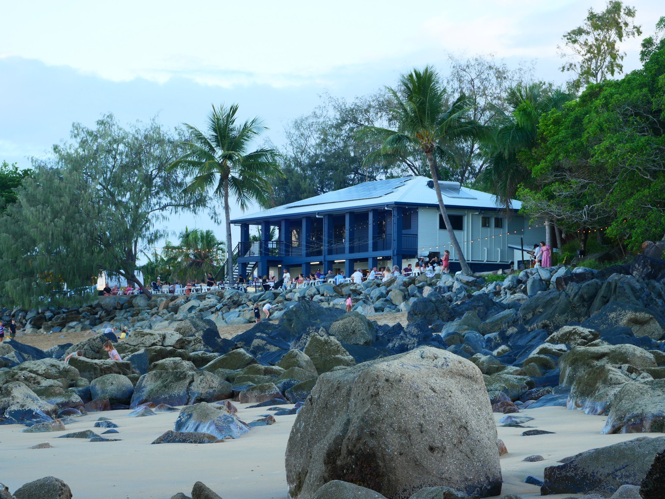
Just above the far end of Eimeo Beach there was a great place called the Eimeo Surf Lifesaving which we discovered during a community gathering. It was reminiscent of the White Elephant Cafe in Gnarabup, with locals families hanging out and having a good time and who made us feel quite welcome as we joined in the festivities.
On the downside, while our apartment did have a TV with cable (which allowed us to keep up with our latest passion, Australian Idol), we “discovered” that it had no Wi-Fi or internet connectivity. We were so surprised by this that we actually had to call our host who confirmed that it was indeed the case. We debated whether we had realized this when we booked the place some weeks before (finding it hard to believe we did), but when we went back and checked the listing it pretty clearly stated that there was no Wi-Fi.
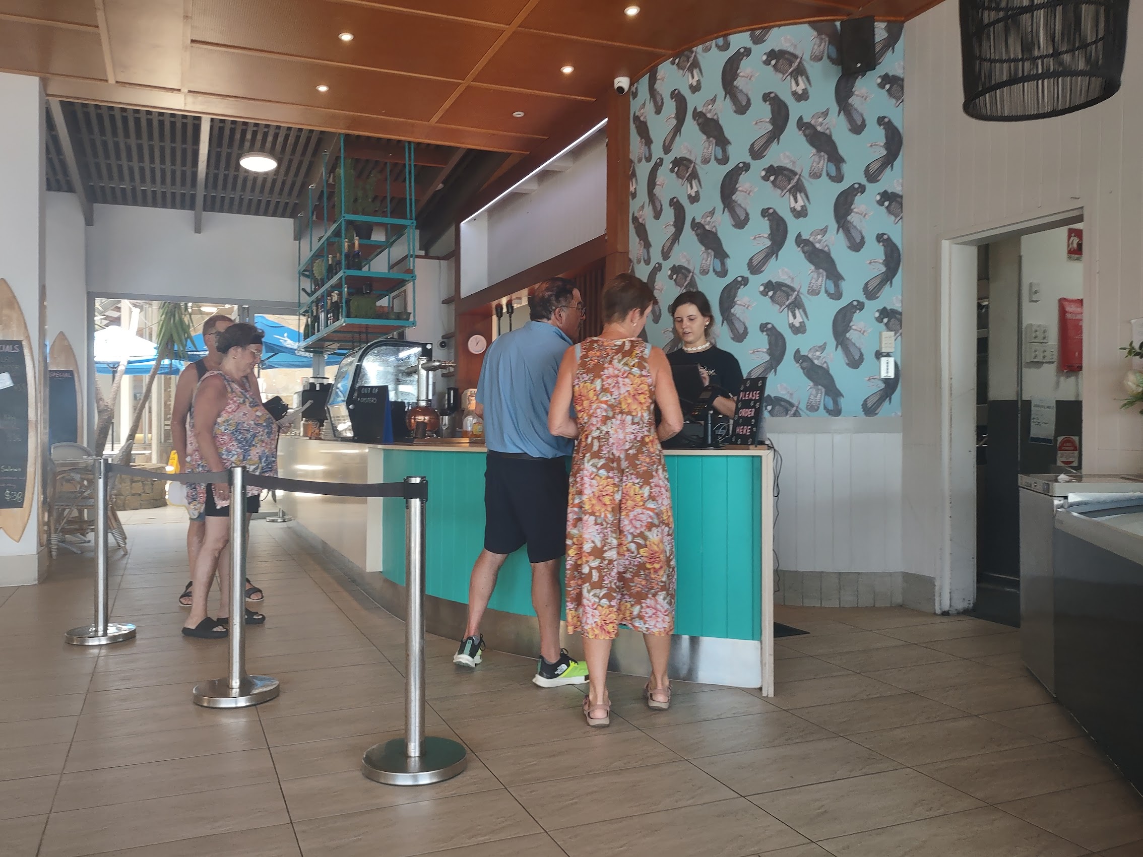
And, just to close that door completely, we confirmed that neither the Salt Café Restaurant and Bar next door (where we enjoyed some “welcome” cocktails) to us nor the Eimeo Hotel (a roundabout 30 minute walk to the top of the bluff overlooking Eimeo Beach, but some good views) had public Wi-Fi. This did not come as a complete surprise to us. Unlike in the U.S. and many other “civilized” countries we have visited, we had found that bars and restaurants in Australia typically do not have public Wi-Fi. (A sign in one of the brew pubs back in Fremantle which said “No Wi-Fi, pretend it’s the seventies and talk to each other” kind of sums up the Australian attitude on this.) So what’s a digital nomad to do?


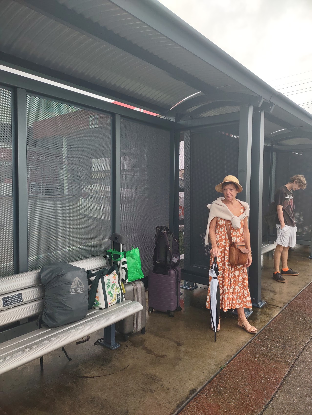
Which brings us to the other (and not unrelated) big negative about the Corsair Units, which was its rather remote location. We were quite surprised to find that the only shops in the immediate area were small places selling an assortment of odd items (all of which were run out of people’s homes) and there appeared to be only one small grocery on the peninsula, about a 45 minute walk away, which didn’t look very promising. We took an Uber to the closest Woolworth’s shopping center on our first day and got pretty well stocked up on groceries, but Ubers and taxis were proving to be a pretty expensive way to get around ($40 round trip to the grocery?).

We begrudgingly acknowledged that we were back in the “civilized” world of cities and suburbs where one was expected to have a car to get around and, while our apartment did come with a parking space, a rental car was neither in our plans nor our budget. Groceries aside, there was other shopping we needed to do as well as finding a place with Wi-Fi access (lots of blogging to do!), so we set about finding another way to get around.
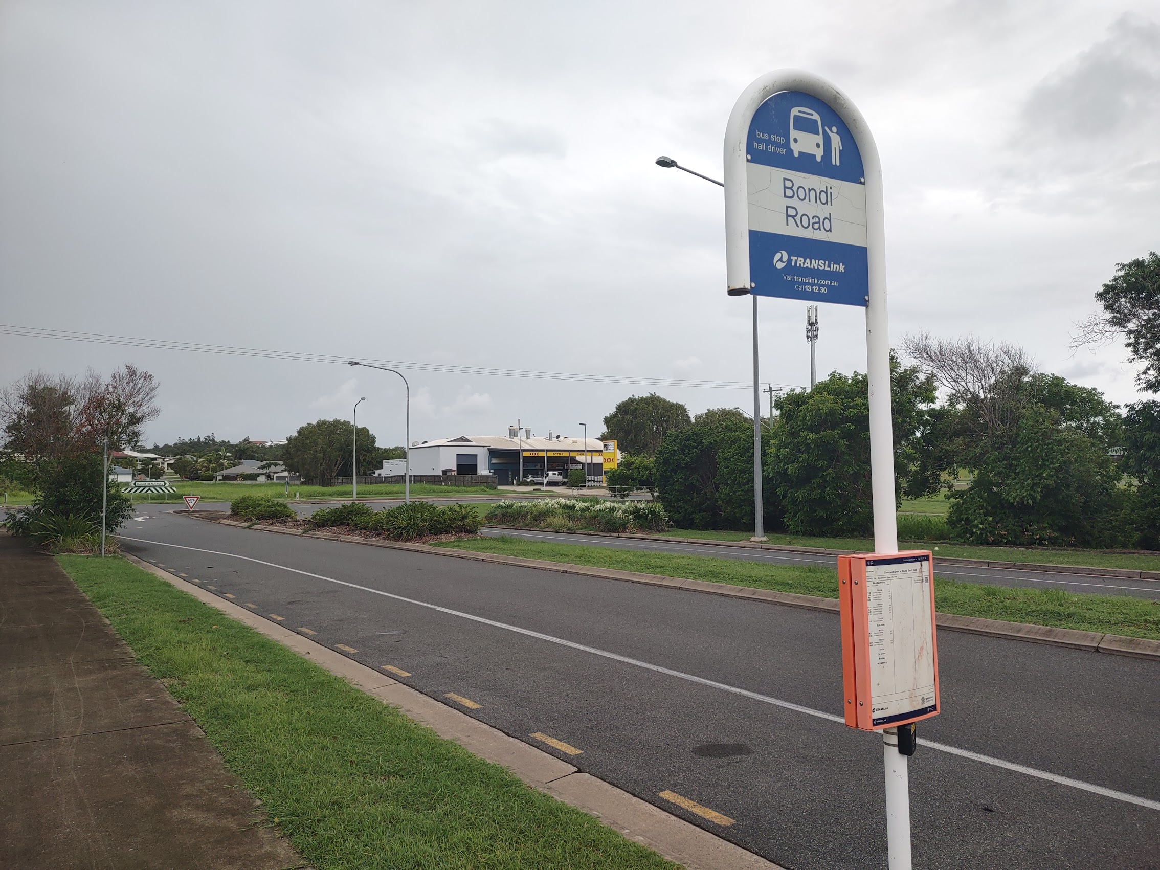
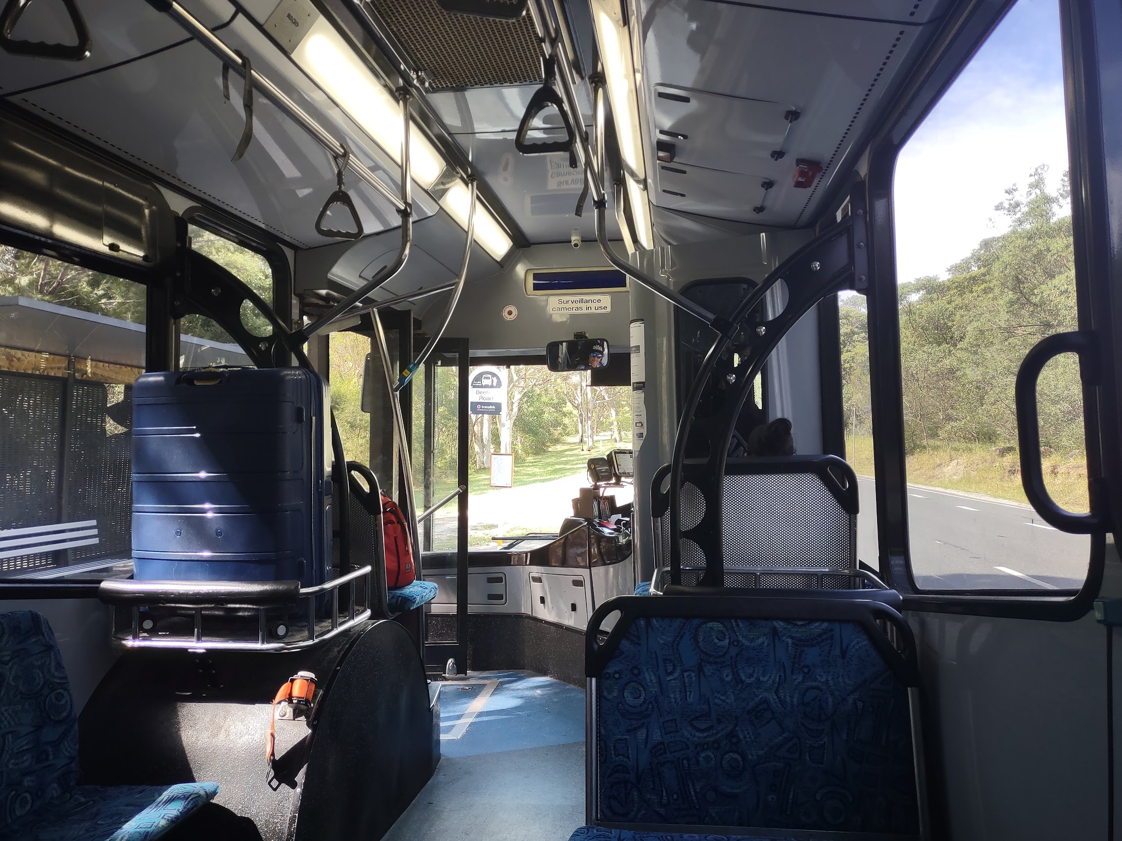
We discovered that there was a suburban bus service out of Mackay and we located the nearest bus stop (Bondi Road in Blacks Beach) which was about a 25-minute walk from Dolphin Heads. From there it was about a 35 minute bus ride into town, with buses every hour for most of the day. While it took about an hour each way to go into and return from town, the fare was only two dollars, so this became our solution. (Time we got plenty of, money, not so much!)
Further research led us to conclude that there was free Wi-Fi available at the public library in Mackay and that there might also be free Wi-Fi at a place called Caneland Central which, coincidentally, appeared to be immediately adjacent to the local bus depot in town.
In addition to our need for Wi-Fi access, we were interested in visiting the town of Mackay for other reasons. I had again tried (and failed) to get my cracked phone screen replaced in Broome and so had moved on to plan B (Denny Madden was bringing me a replacement phone which I had bought on Ebay and had shipped to him). But there was some other shopping we needed to do, not the least of which were some wardrobe upgrades as we expected to be spending quite a bit of time on the beach and in the water over the remainder of our trip.
Additionally, given the likely weather for the next couple of weeks, Colleen was in the market for a rain jacket of some sort as the one she had originally packed and been mailed home some months before when we left Europe for Morrocco as well as a pair of new “action” sandals, as her current ones were on their last leg. And, while we didn’t see any immediate or urgent need to replace our beach umbrella, the current climate suggested that some ordinary rain umbrellas might not be a bad thing to have.
So, after a couple of days of lazing about in Dolphin Heads, we decided it was time to get up off our butts and take a trip into Mackay to see what was what.
Going Downtown
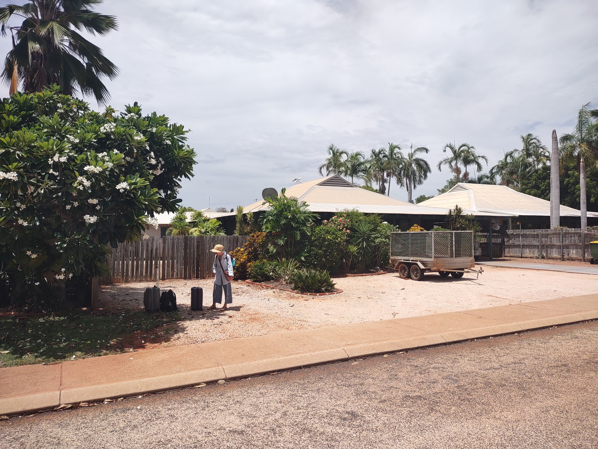
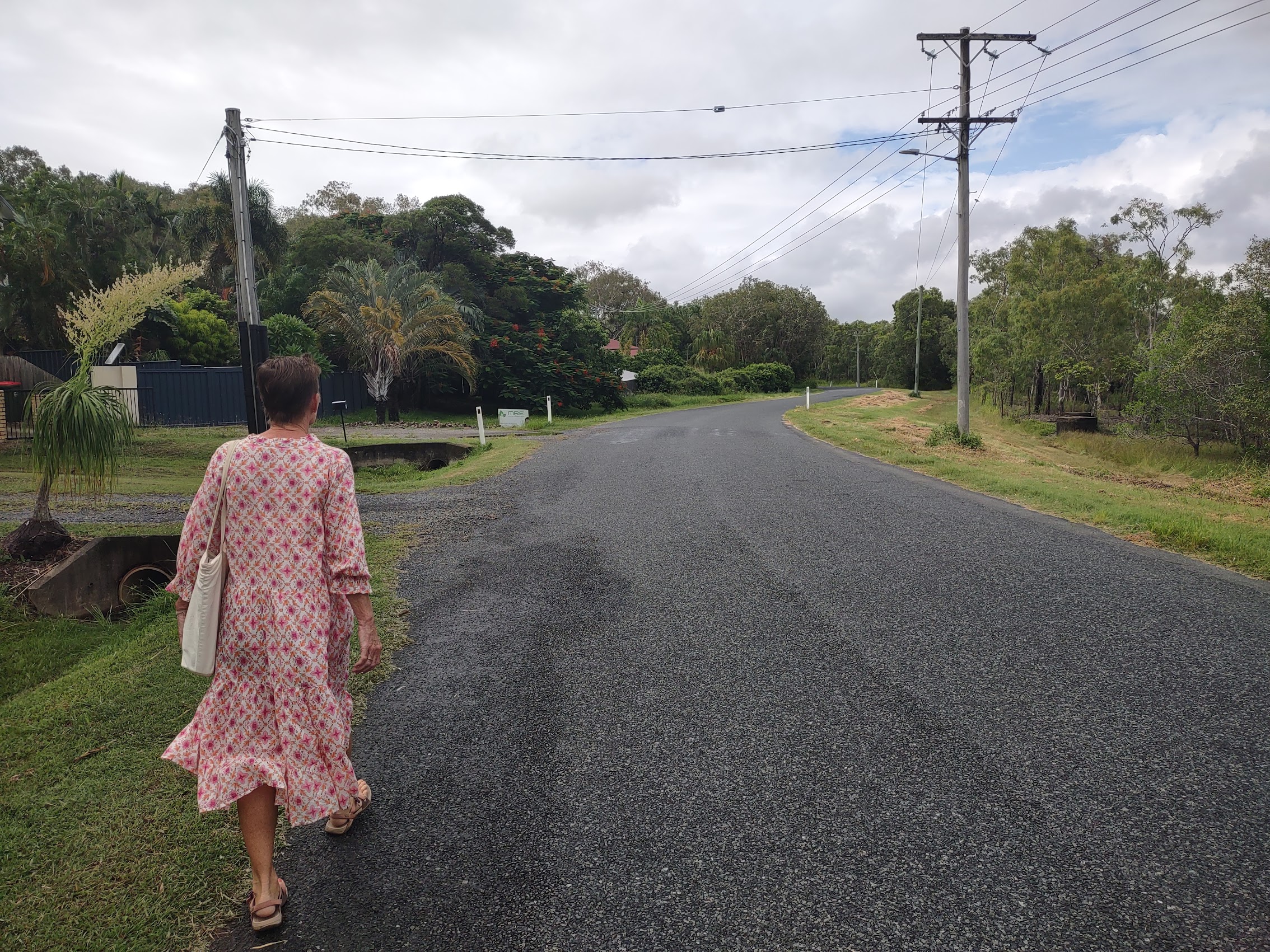
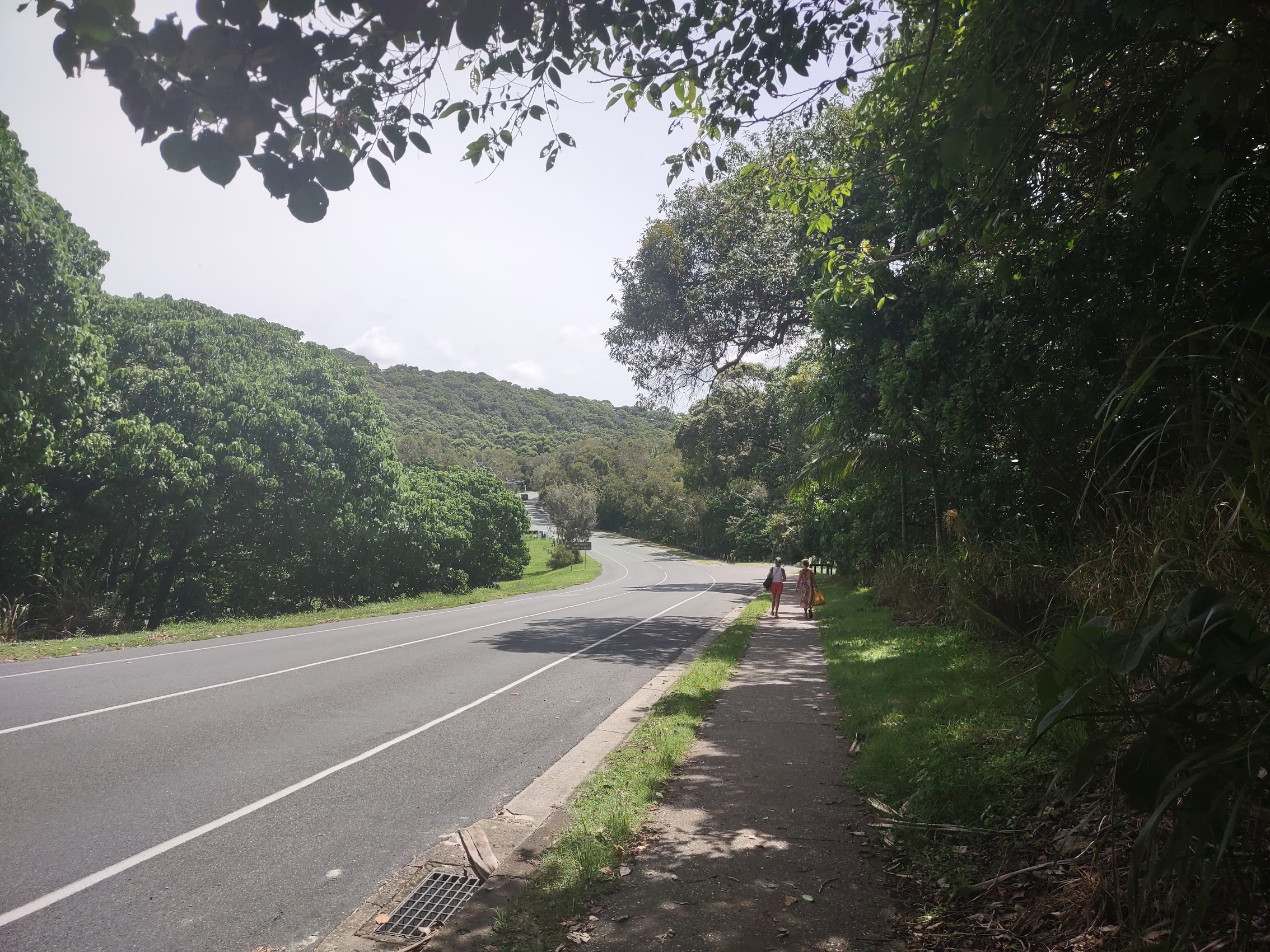
The walk from Dolphin Heads to the bus stop, which seemed to be downhill the whole way, took us through a sparsely populated neighborhood past various drainage ditches, creeks, and backwaters, most of which, though it wasn’t raining (for the moment) were flooded due to a recent “king” tide. While we knew that it was highly unlikely, the proximity of these flood waters lapping near the edge of the pathway we were on left us feeling just a little paranoid about potential crocodile attacks which we tried our best to make light of (whistling in the dark, so to speak).

For my part, I implemented a strategy I had seen in a video: Two people are walking along a creek. The first (Colleen) says “There aren’t crocodiles around here are there?” and the second (me) replies “Why do you think I’m walking on this side of the path?” (away from the water). As a counter to this (and with my bad knee in mind) Colleen joked that she didn’t need to be faster than the crocodile, she just needed to be faster than me!
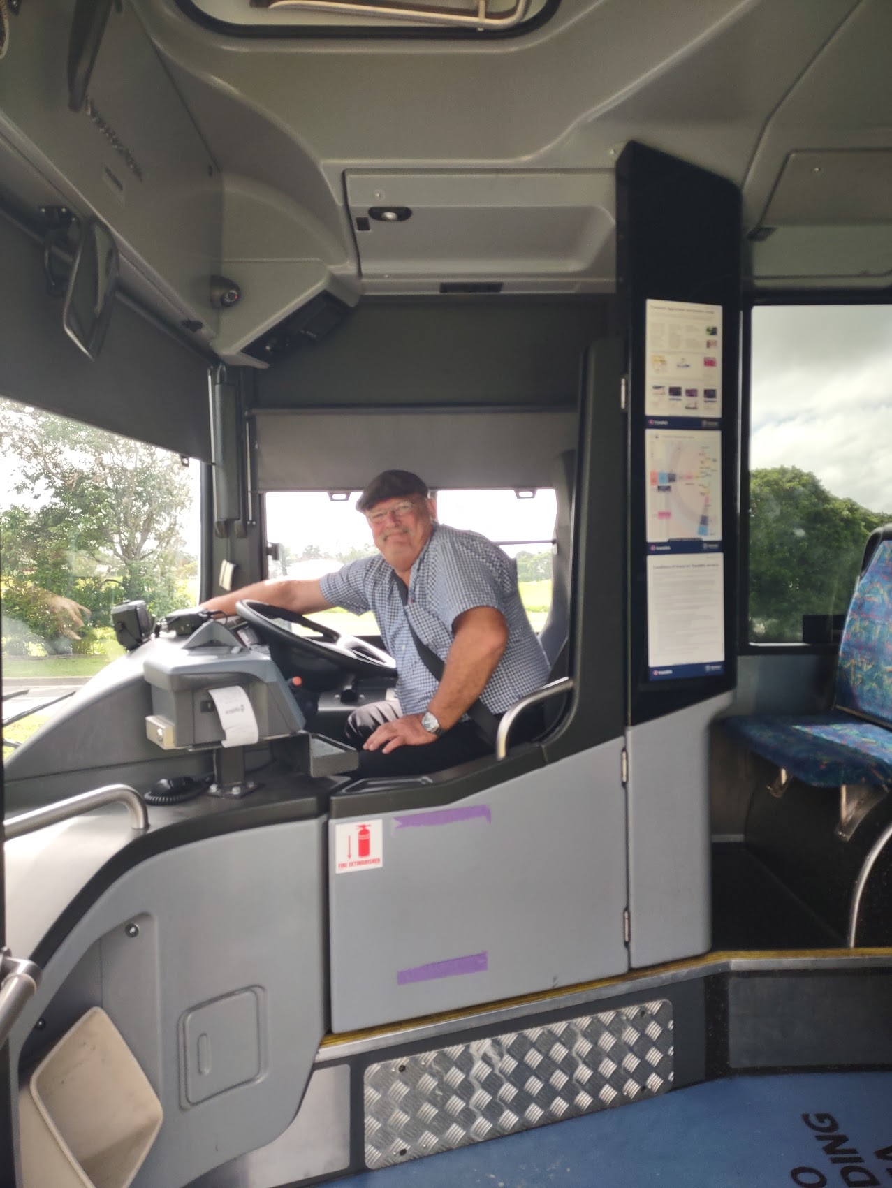
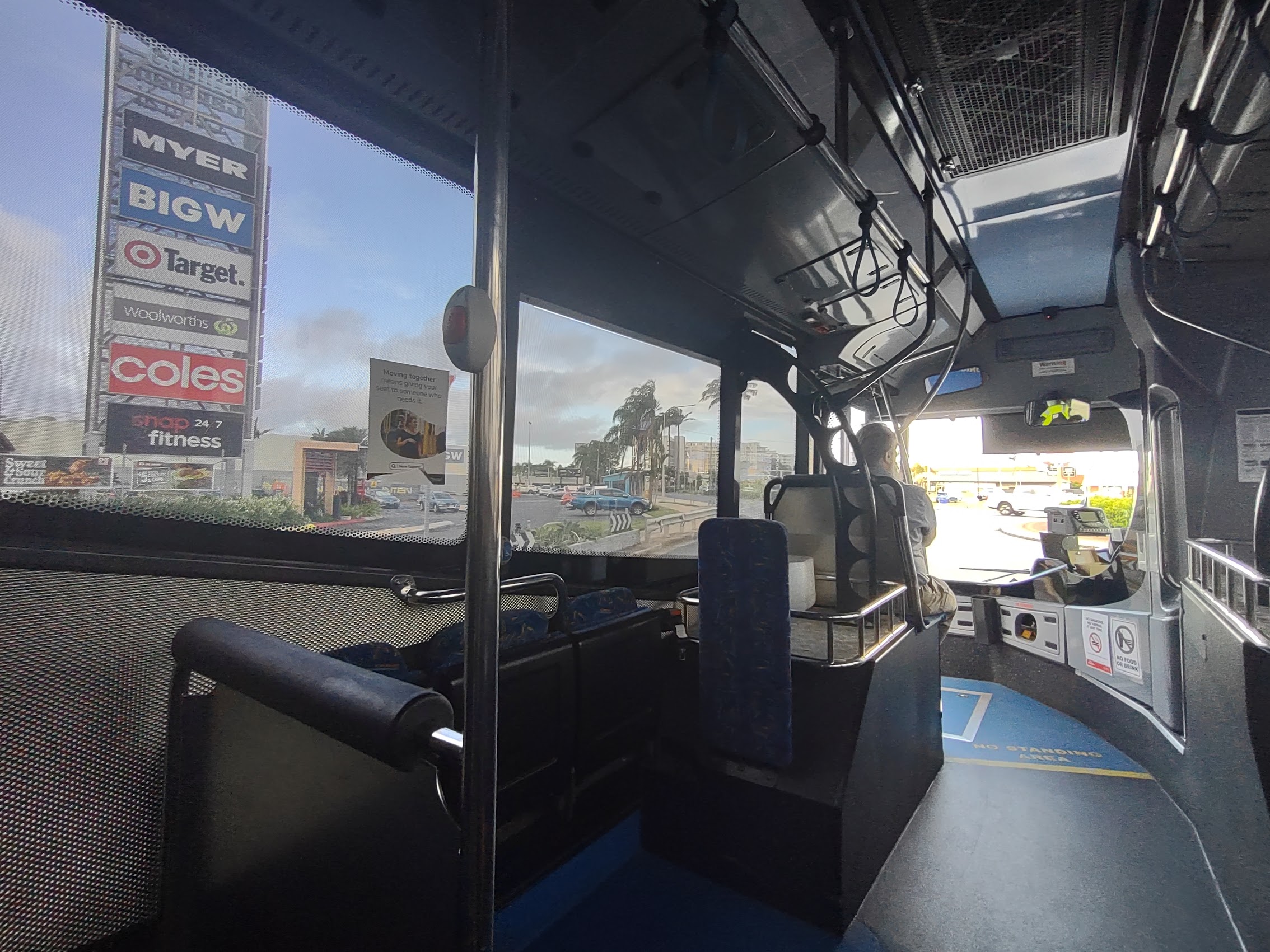
In any case, we made it to the bus stop without event, arriving just a bit early as the buses only ran once an hour. Our bus arrived right on time and we were greeted by yet another jovial Australian bus driver (it must be a qualification of the job) who was just happy to be alive. For the most part, the ride into town retraced our route from the airport, taking us through stops at various suburban shopping centers and which, at this particular hour of the day, reintroduced us to the whole concept of rush hour traffic (not something we had grown to miss). But the drive passed quickly and in an hour we found ourselves getting off the bus at Caneland Central in downtown Mackay.

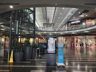
Caneland Central
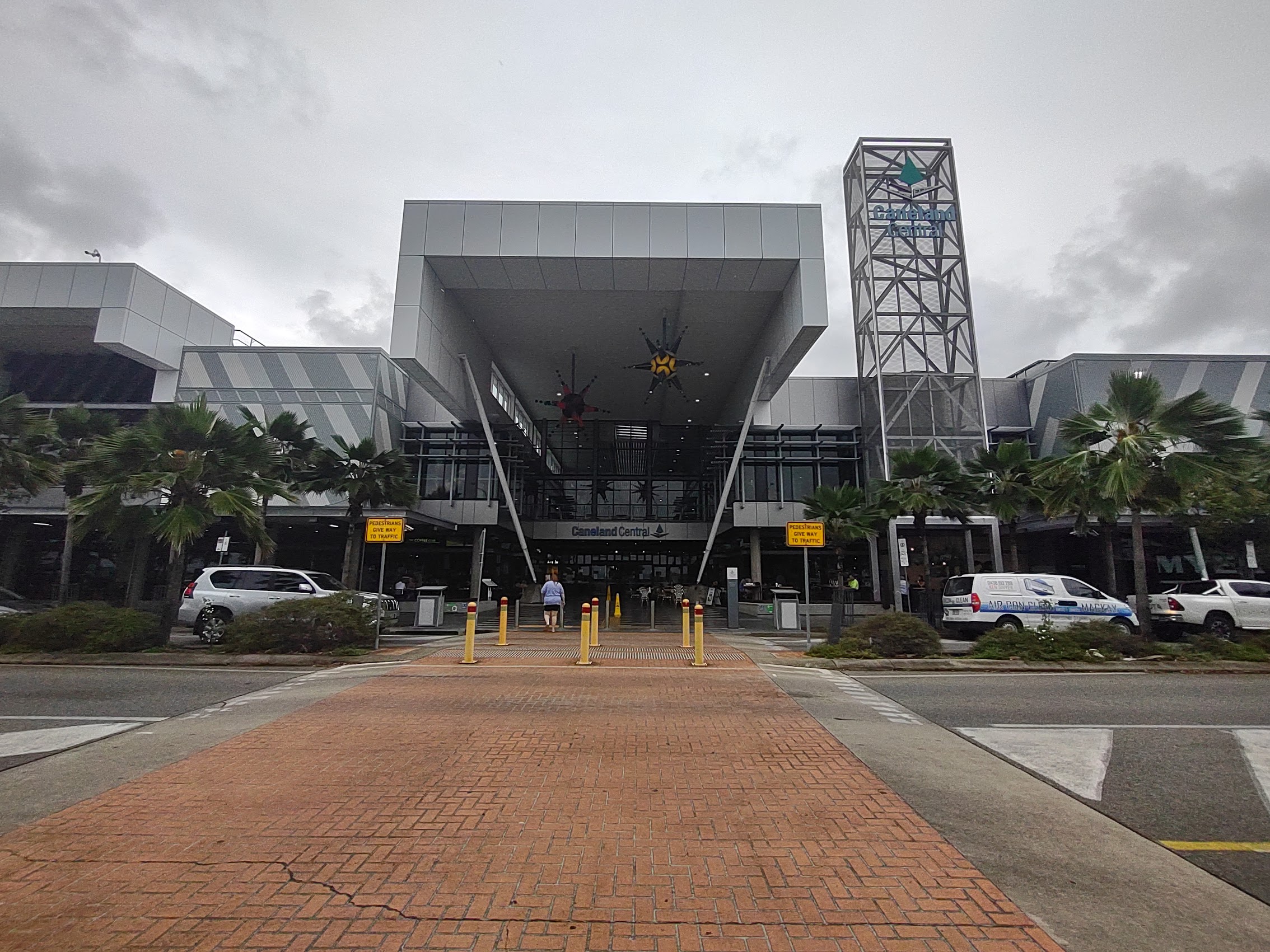
Our bus dropped us at Caneland Central, which we discovered was a large (600,000 square feet) multi-level shopping mall, constructed on the west end of the old city center, with anchor stores that included Coles, Target, and a Woolworths grocery store, over 180 specialty stores, two food courts (one of which overlooked the Pioneer River) and (praise the Lord!) free Wi-Fi. We learned that Caneland Central is the largest shopping center in the region and, according to the Caneland website, it attracts 5.56 million annual foot traffic per year, equating to the entire population of Mackay visiting 4 times per month.
In addition to the food courts, there were a number of other seating areas and, after a cursory first tour of the mall, we found a comfortable spot to settle in, connected to the Wi-Fi, and tried to get some work done. (The Wi-Fi was OK, but time limited and logging in was tricky and, at some point, Colleen found herself unable to reconnect.) After a couple of hours of this, we decided to take a break, and, rather than “dining” in one of the mall’s food courts, walk into the town center to find some lunch and perhaps do a bit of shopping.
Around Town
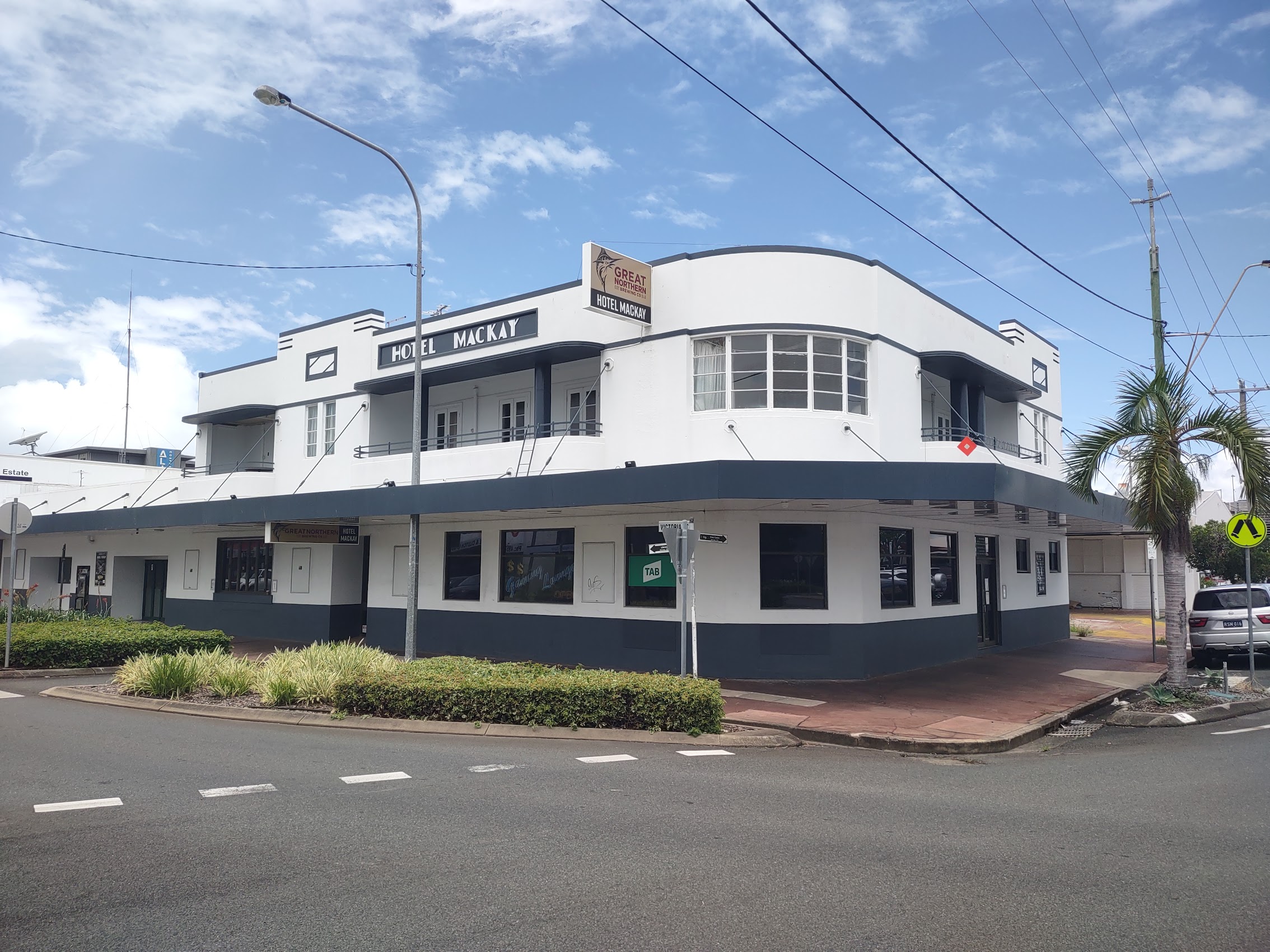
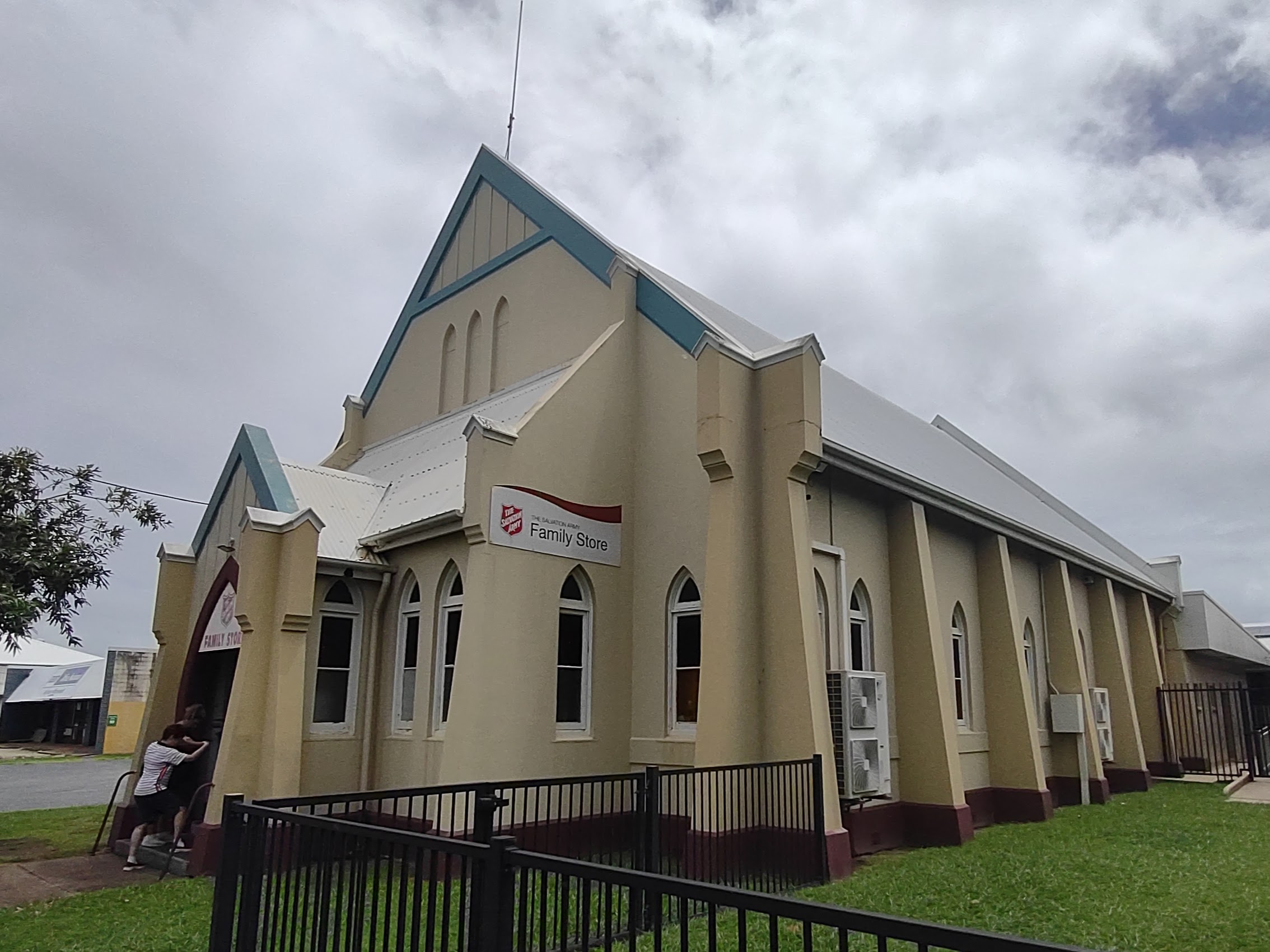
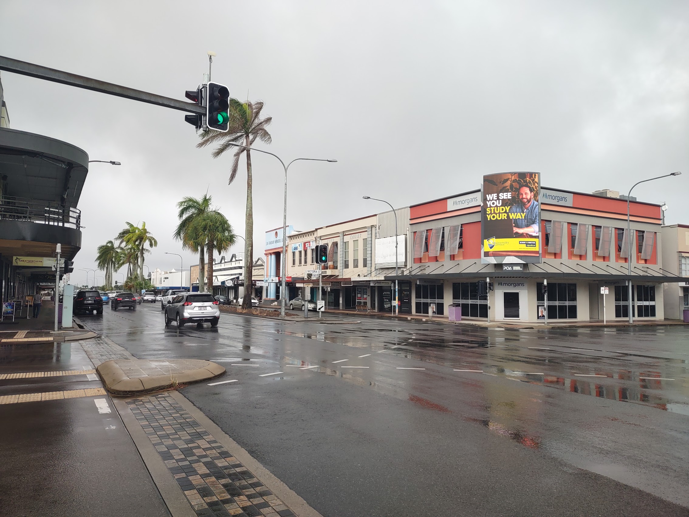
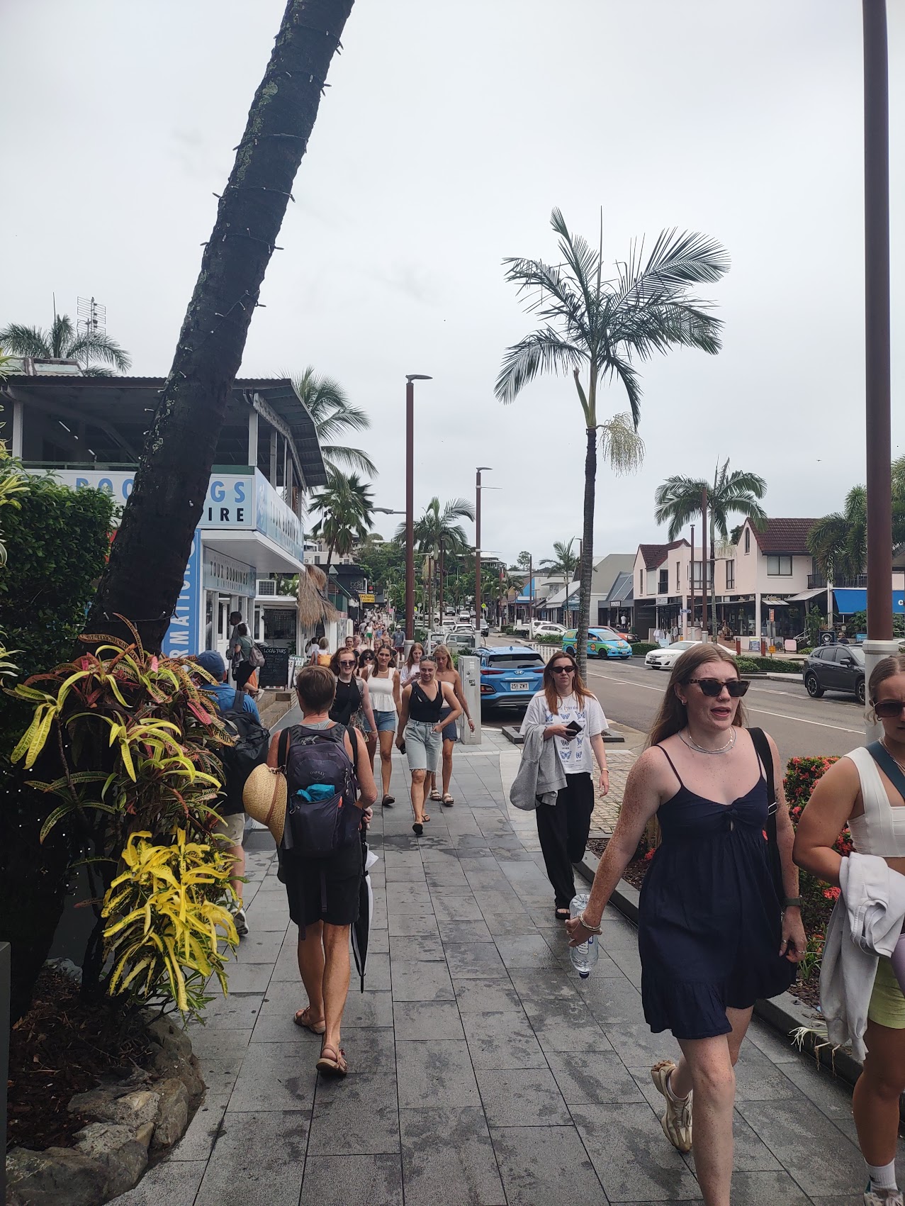
From Caneland Central we made our way down Victoria Street which was (at least before construction of Caneland Central) the main shopping drag of Mackay. Along the way we sighted a number of interesting Art Deco and (sort of) Mission Style buildings which we knew dated back to the town’s reconstruction following the 1918 cyclone. I was surprised at the scale of the city center – almost all of the buildings were two stories – which, combined with so many beautiful (and even not beautiful) historic structures, actually made for a very pedestrian friendly environment.
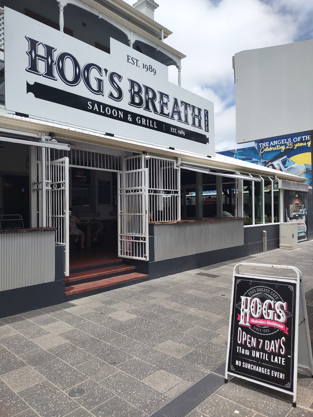
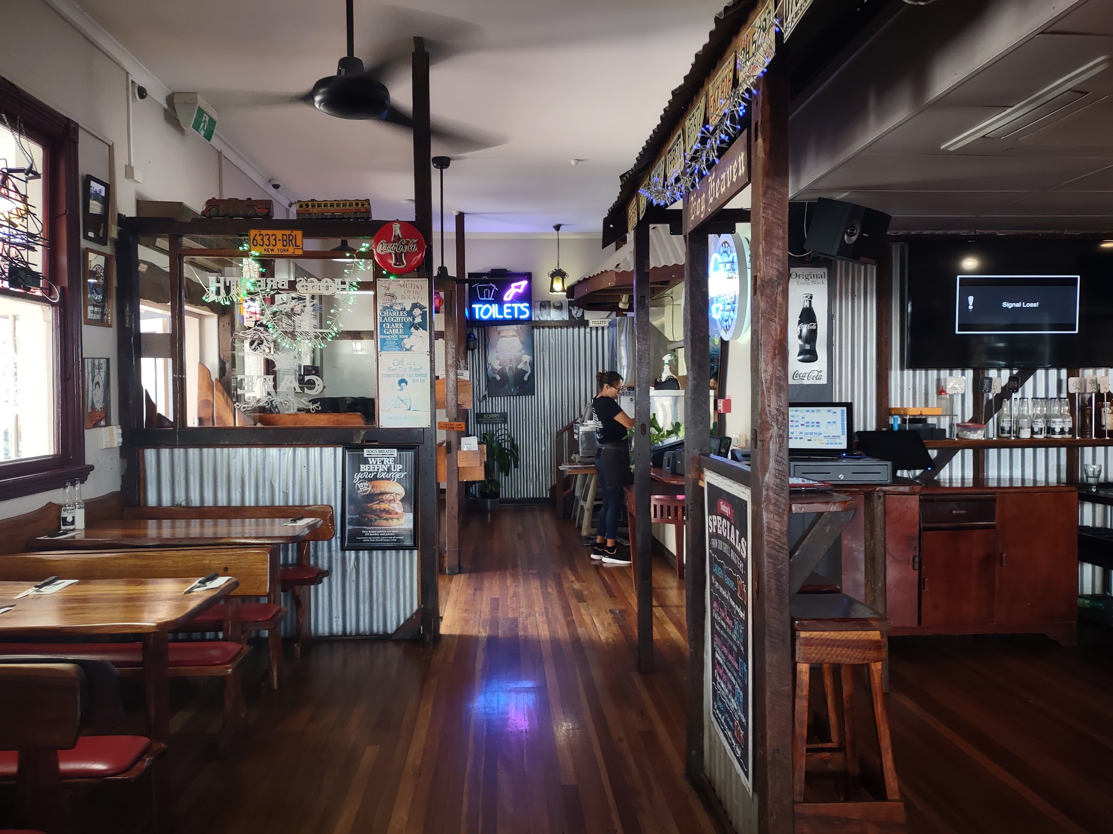
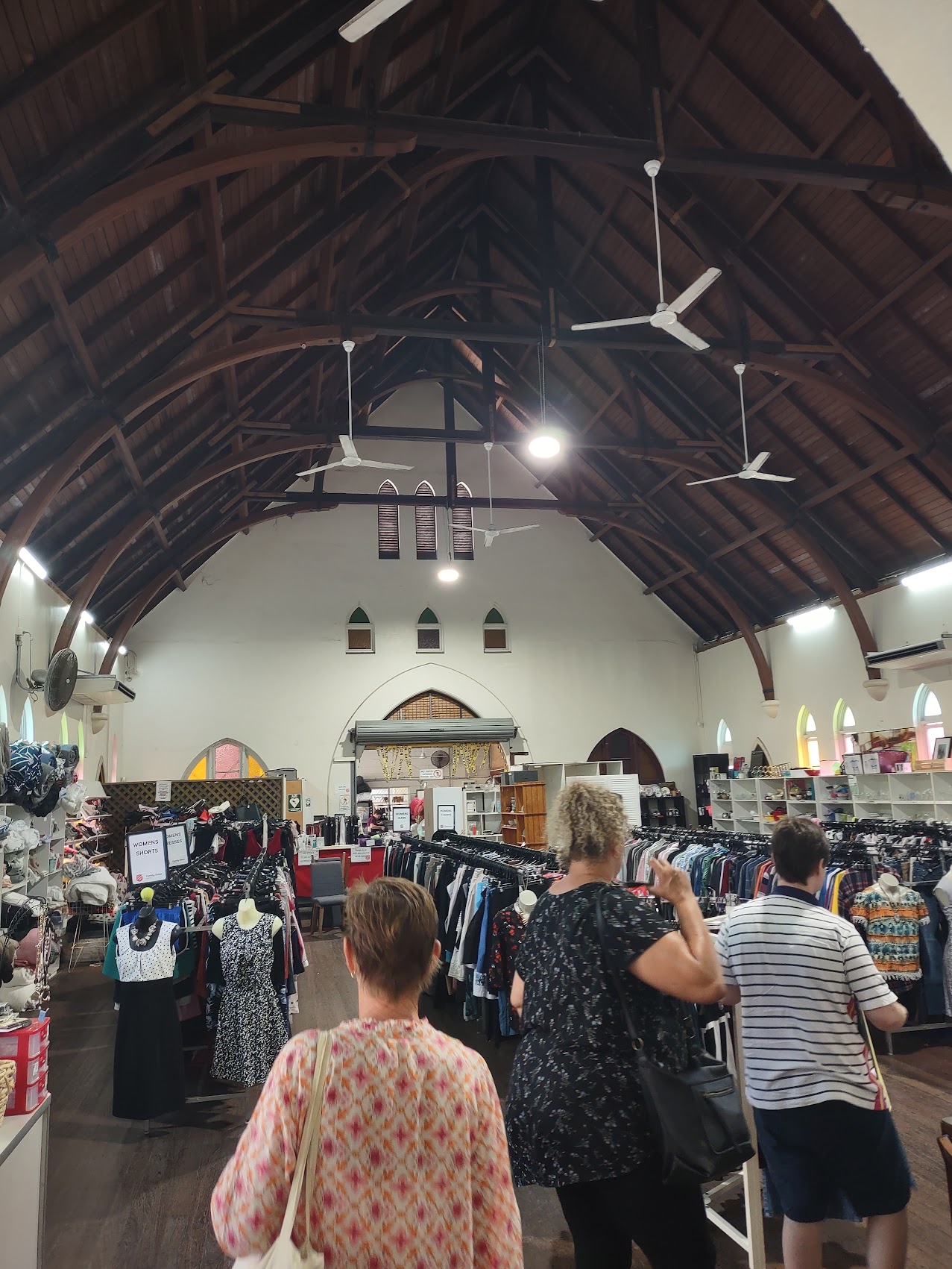
We came across an interesting looking barbeque place called Hog’s Breath and stopped for a nice lunch before continuing our shopping expedition which had moved on to thrift stores (of which we discovered there were several in town) where we hoped to find a good rain jacket for Colleen at a decent price. We had no luck and, both coincidentally and unfortunately, it began to rain again as we left the last thrift store. With no rain jackets and no umbrella, we did our best to stay under the canopies which fronted many of the storefronts for reasons we now better understood (when it rains it pours!) quickly ducking through the rain at intersections.
Back at Caneland Central I reconnected with the WiFi and did a bit more work while Colleen got a pedicure after which we turned our attention back to shopping. While we had no luck finding a rain jacket for Colleen (we found a few nice ones, but they all seemed way too expensive), we went on a bit of a bender at the Billabong store where we both purchased new swimsuits, some new t-shirts for me, and a new pair of sandals for Colleen. Feeling a bit exhausted (shopping can be so much work!) but happy with our purchases, we got on the bus back to Black Beach and took the walk back up the hill, arriving safely back at our place in Dolphin Heads (still no crocodiles!).
We arrived home in time to fix dinner and then enjoy another episode of Australian Idol, which is pretty much like the American version (except the judges are nicer). We had been watching the show off and on since Exmouth, and had two favorite contestants: Isaac McCallum, a 23-year-old “trolley boy” (his job was collecting discarded shopping trolleys at a local grocery) from Ulladulla, New South Wales, who made it to the top 5 and Amy Pania a 25-year-old from Broome (our last stay in Western Australia) who finished as the runner-up.


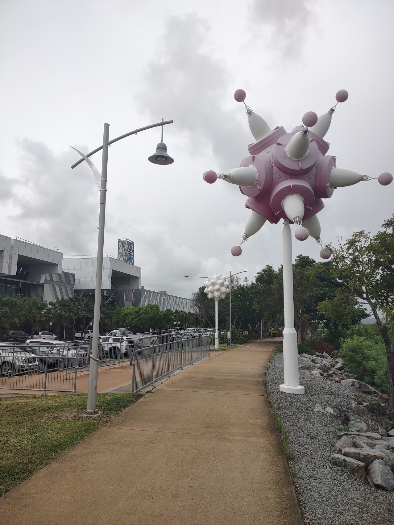
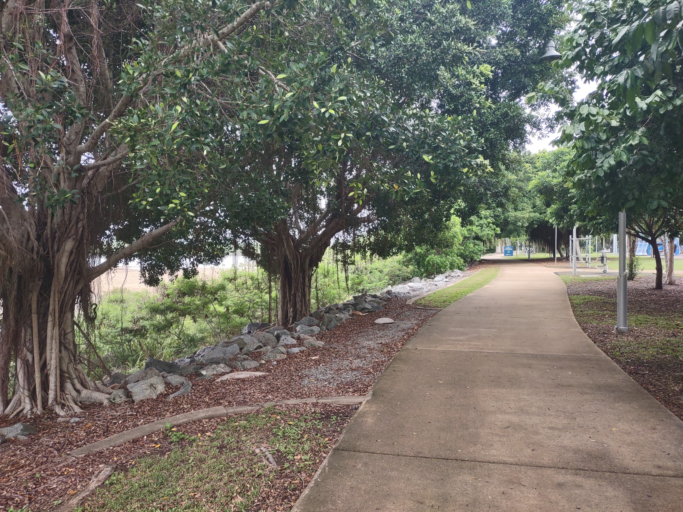
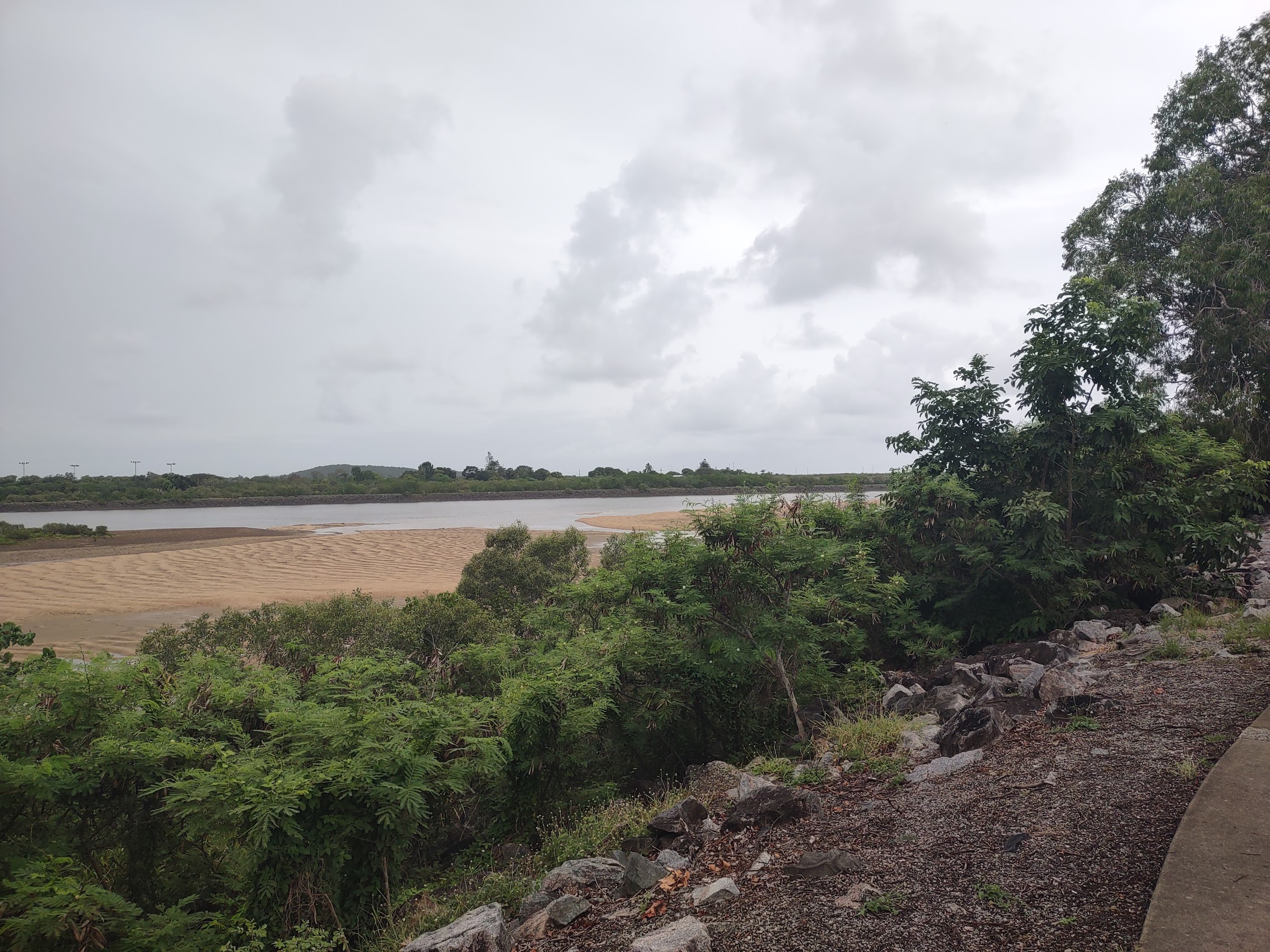
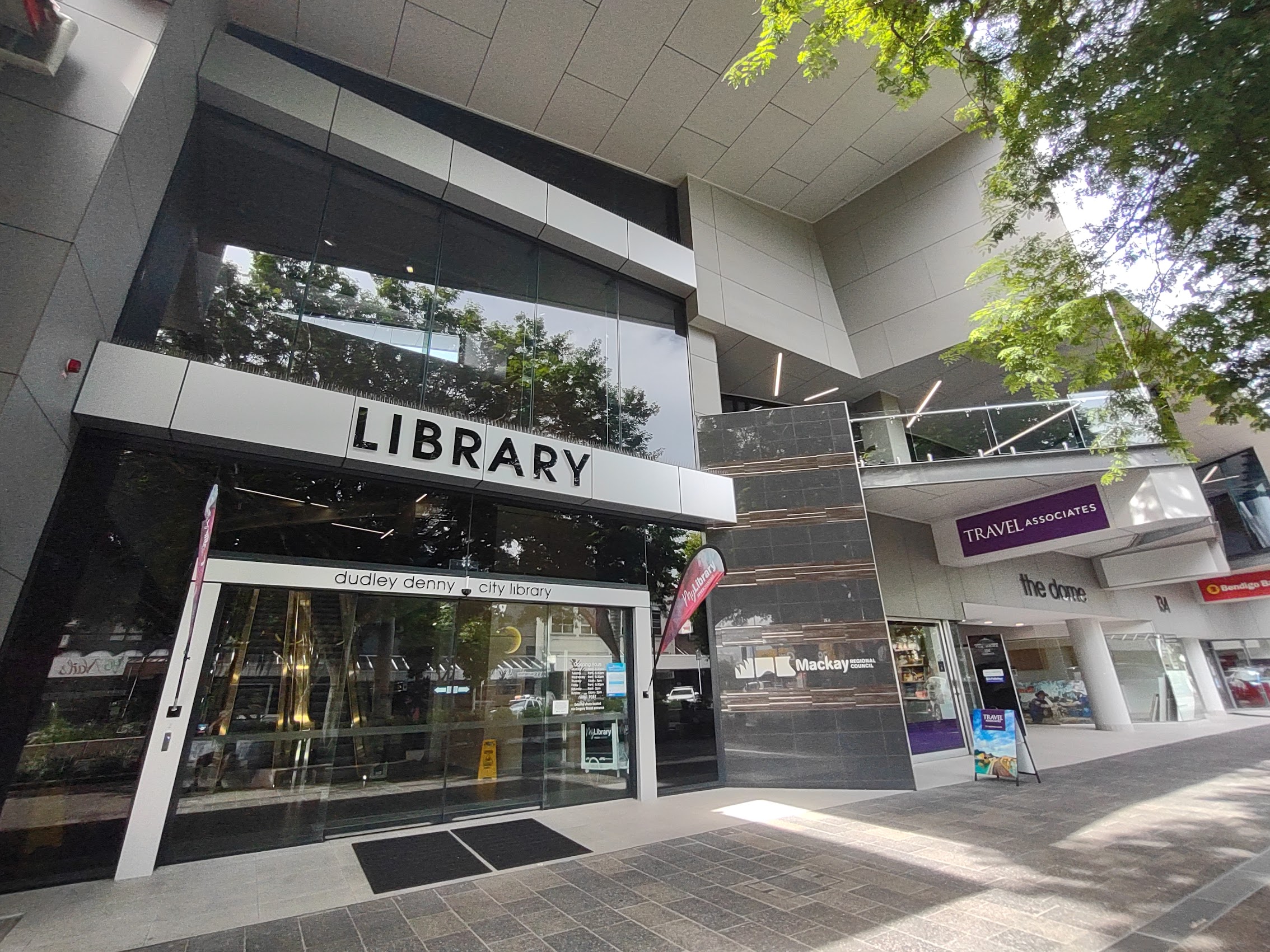
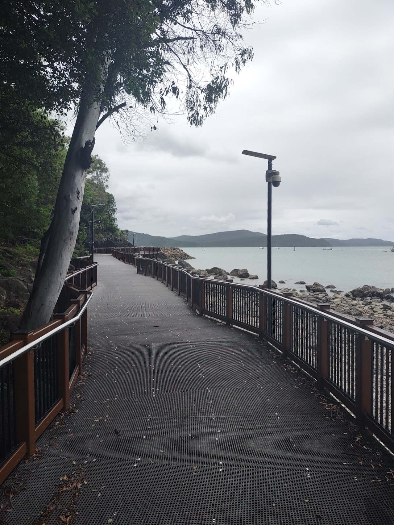
I took one other solo trip into town later in the week to do some more blog uploading and decided to try out the Wi-Fi at the downtown public library which we had spotted on Victoria Street on our last trip into town. I took a different route into town from Caneland Central, this time following the Pioneer Promenade which runs along the north side of downtown and which, despite it being overcast and drizzly (I did have an umbrella this time), turned out to be a nice stroll.
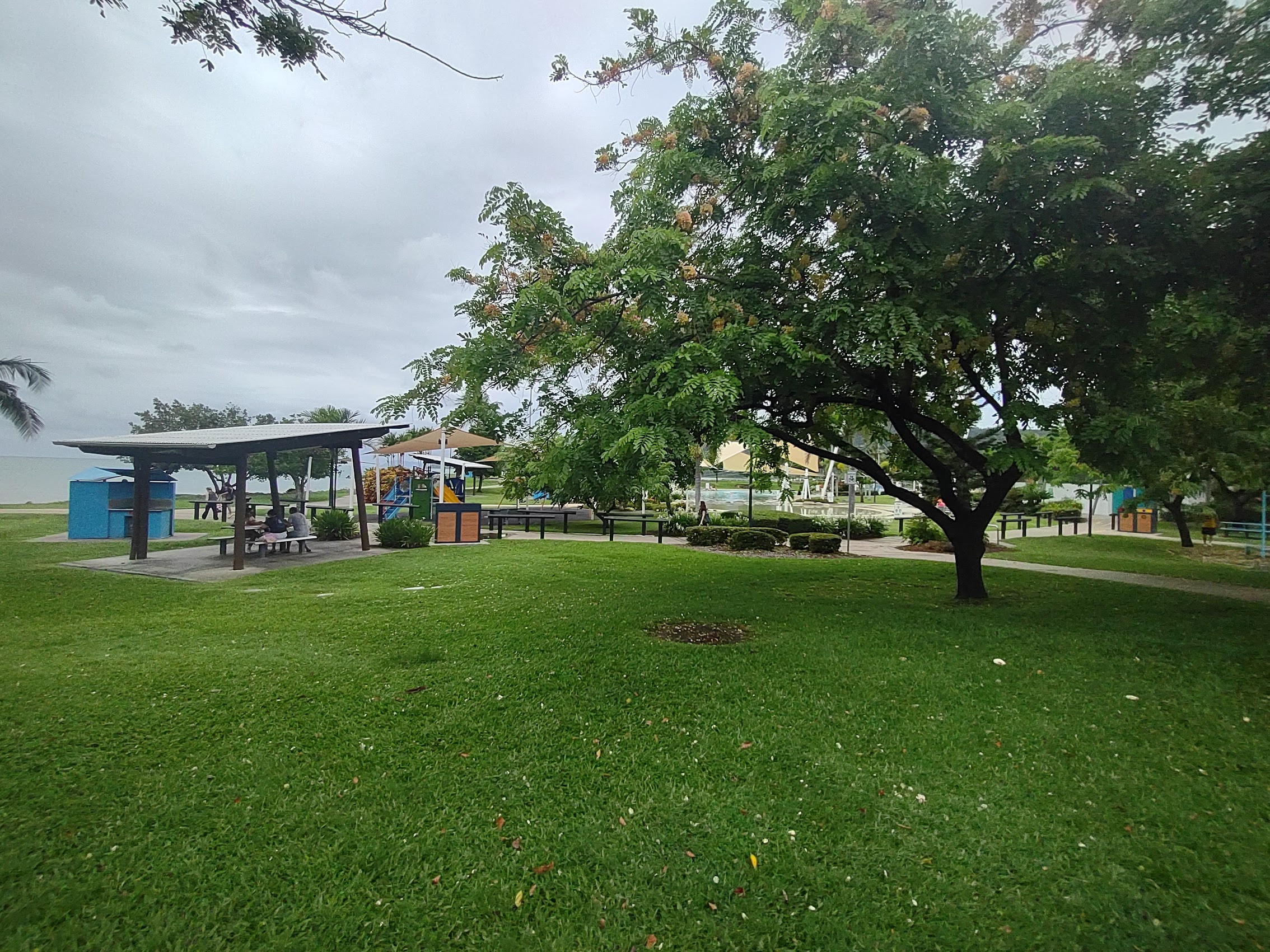
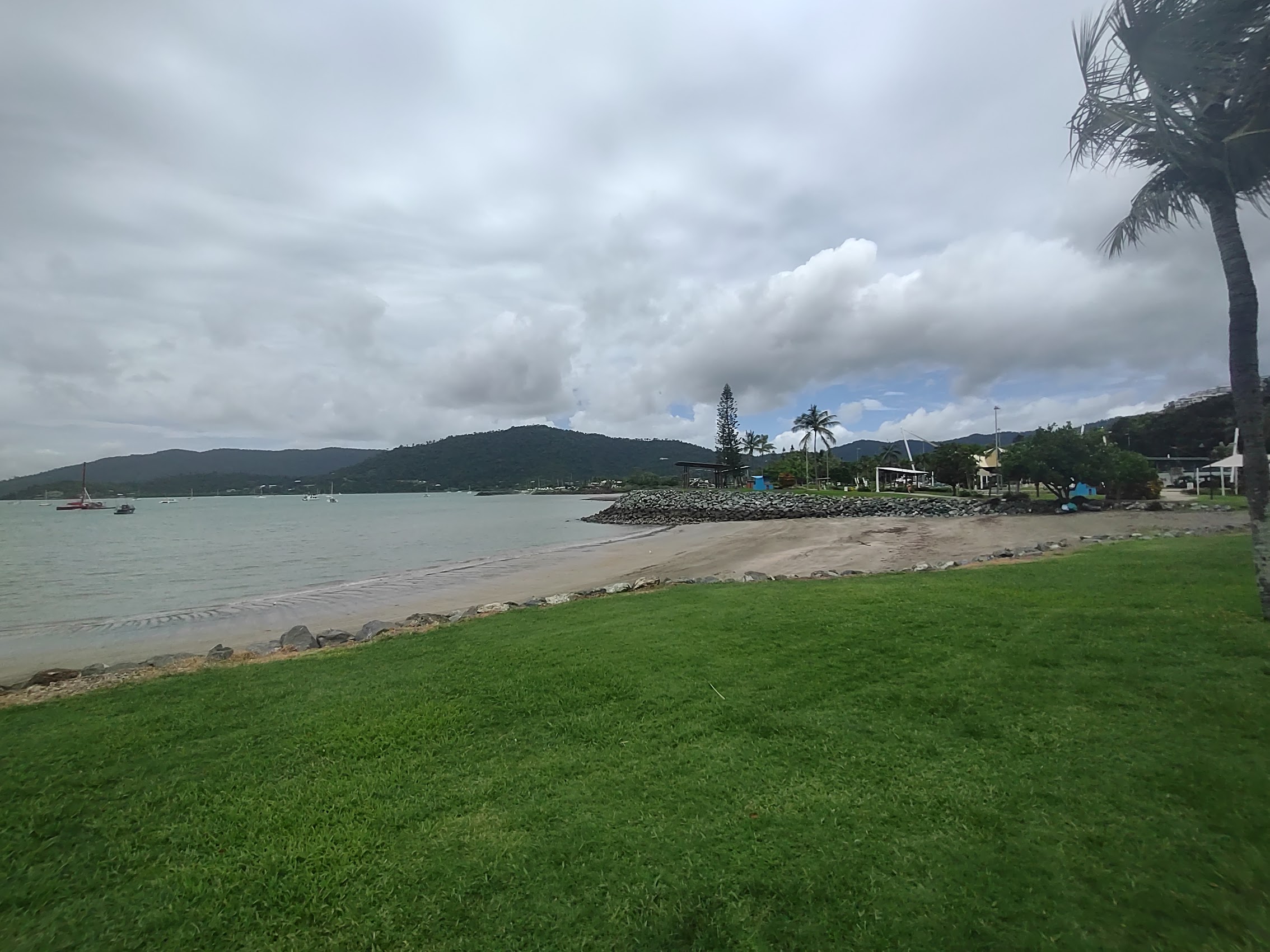
The Pioneer Promenade meanders along the banks of the Pioneer River through beautiful tropical plantings (including some awesome banyan trees), with seating areas and playgrounds (even a water park!) and some beautiful views of the Pioneer River, which appears to vary greatly with the tides (still no crocodiles!) There were also some interesting sculptures along the promenade, including some near Caneland Central which were a little disturbing due to their resemblance to the Corona virus.

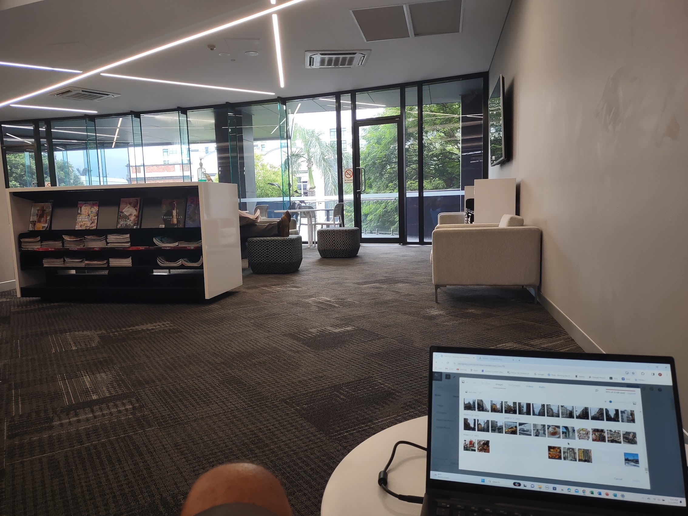
The Mackay City Library was located on the second floor of a modern mixed-use building constructed in 1980 which, in addition to ground-floor shops and the library, houses a senior center and city administrative offices. The library had good Wi-Fi and a large open area with computer work counters and cubbies, but it was pretty crowded (apparently this was where all the digital nomads in town came to work).
On my lunch break I came across a Hungry Jack’s, something which we had seen elsewhere in Australia and which, for some reason, I continued to find quite amusing. As the story goes, when businessman Jack Cowan went to open the Australia’s first Burger King franchise in Perth, he discovered that the name “Burger King” was already trademarked by a local restaurant chain. For whatever reason (someone being too greedy most likely) rather than purchase the rights to that name, he decided to call that first restaurant “Hungry Jack’s” which became the name for all Burger Kings in Australia.

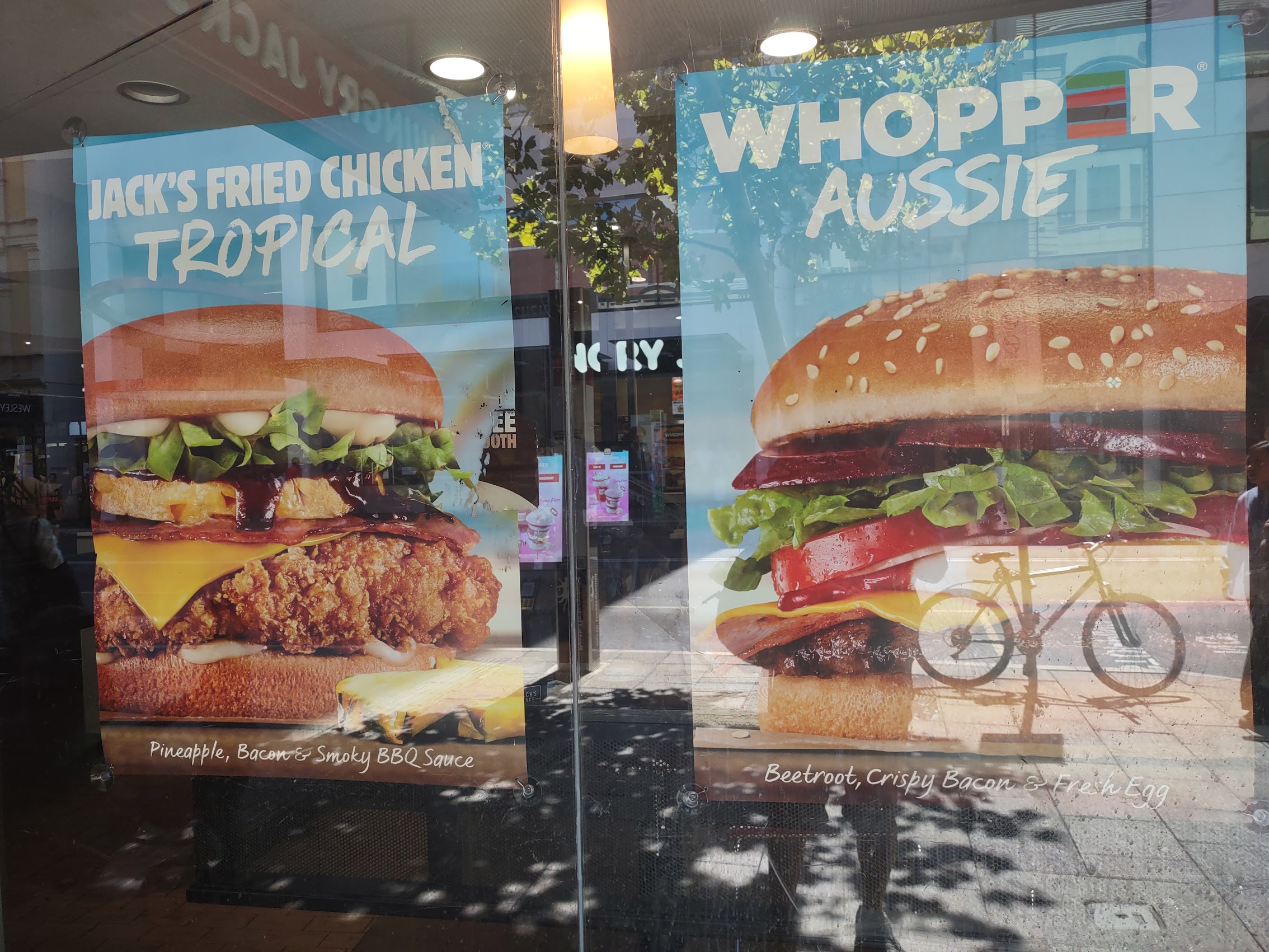
For all intents and purposes, Hungry Jack’s are pretty identical to our Burger Kings in every way except in name (Yes, they have Whoppers, there’s even something called an Aussie Whopper!) What I continue to find most interesting (and to some extent amusing) about this all is that the Burger King logo and identity is so strong that it doesn’t matter what the words say, you still know it’s a Burger King. (If you’re from the U.S. at least!)
Goodbye Mackay
Our first week in Queensland really ended up exceeding our expectations. Despite the occasional rain shower, the temperatures were quite pleasant and we still got plenty of sunshine and, despite its remote location (or perhaps because of it), Dolphin Heads was a beautiful and peaceful place to stay. And, despite the fact that we pretty much pulled it out of a hat, the Town of Mackay ended up being a pretty interesting place to visit with a unique history and culture, a picturesque pedestrian-friendly downtown, and lots of friendly people. It was particularly interesting to spend time in a (“normal”?) Australian town where tourism isn’t the biggest local industry and where the biggest local attraction is a shopping mall.
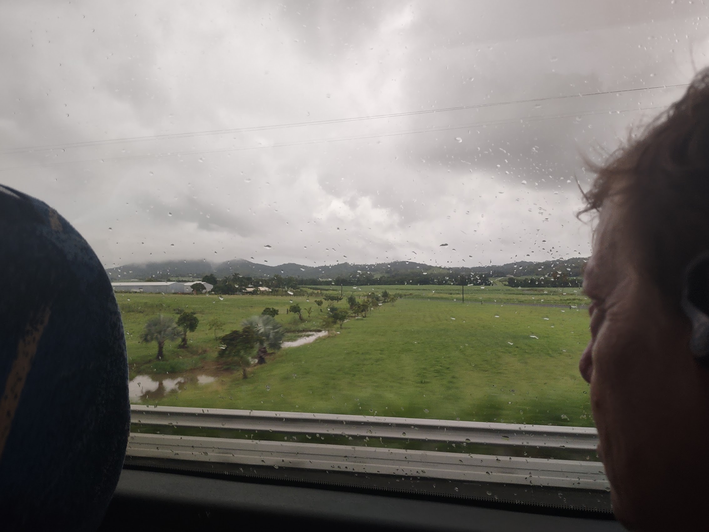
Our week in Mackay passed peacefully and pleasantly, and not too quickly, but it did pass and before long it was time to pack it all up again and move on to our next destination. And so, on the morning of February 16th, we took an early taxi from our place in Dolphin Heads back into Mackay to catch a 7:30 AM bus. The drive north from Mackay was pleasant with sugar cane fields stretching off toward distance hills shrouded in low-lying clouds giving us a better sense of how big the sugar industry is in this region.

Two hours later, we arrived at our next destination, the town of Airlie Beach where we would be meeting our friends the Maddens to continue our Australian adventure.
Trip Planning for Four
We were very excited to see Denny and Wendy Madden again, but it is worth noting that a fair amount of effort in the way of trip planning had occurred to get us to this point. Trip planning can be challenging enough when it’s just the two of us, but in many ways, it seemed like planning for two couples was exponentially more challenging. While Denny and Wendy have travelled quite a bit themselves, including trips to some pretty exotic and remote places, they have a travel agent they normally use, so seeing how we make the sausage was a new (and hopefully interesting) part of the experience for them.
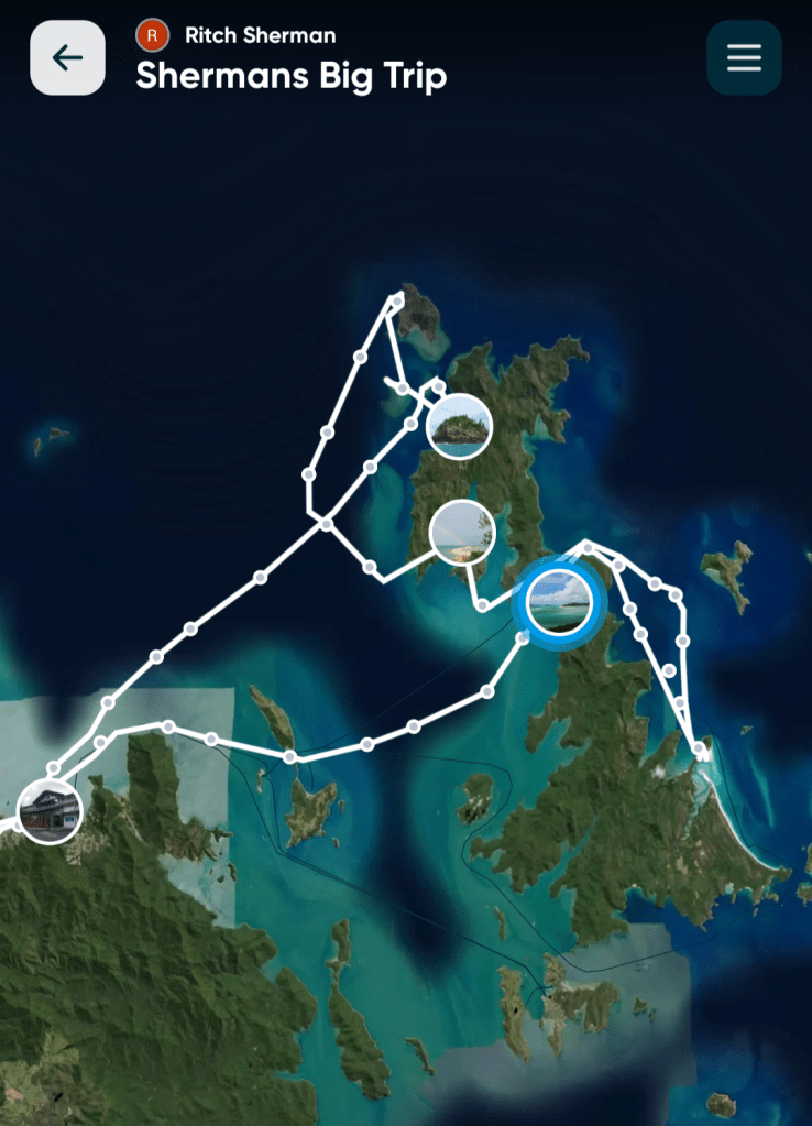
It all started with booking a Whitsunday Islands cruise, which they committed to without us having worked out the rest of the itinerary. Our first rough plan was to make our way down the eastern coast of Australia from there to Sydney (or maybe further), then head over to New Zealand. Working out the rest of the itinerary ended up being a very collaborative process with lots of texts and emails as well as a couple of scheduled conference calls. (At one point I sent them a photo of a map of New Zealand marked with potential stops to help in our discussions.) Recognizing that this was a pretty big adventure for them (versus just part of a bigger adventure for us), we pressed them as much as we could for things and places they wanted to see and tried our best to stitch these into the itinerary, but we had more time to do research than they did, so they deferred to our judgement quite a bit.
Time was a particular issue. Initially Denny (who is usually consumed with running his own business and was also trying to finish a project they were building in Florida) said he could probably free up two weeks, but we preached our adage that when you travel this far, you really want to spend as much time as possible once you get there (and Wendy was already saying she could push him to three weeks). Once we really started to look at all there was to see in New Zealand, we not only had to add more time but started to back time out of Australia. In the end, we set a 25 day itinerary with 9 days in Australia and 16 days in New Zealand (which still didn’t include everything it could have) and, with a layover in French Polynesia on the way there to help ease the change in time zones (yeah, right), the Maddens ended up committing over four full weeks to this adventure.
Probably the biggest challenge (and potential collision of universes) in finalizing our itinerary was finding accommodations which were acceptable to all of us. We were well aware that Denny and Wendy had somewhat higher standards for comfort and luxury when travelling than what ours had evolved to by this time and, along the same lines, while we were travelling on a fairly strict budget, Denny and Wendy were willing (and able) to splurge a bit. While we could have resolved this issue by staying in different places in the same town (as we had done when we were together in Edinburgh), we really wanted (for better or worse) to share as much of the whole experience as possible and so tried to stay in the same place or (as was the case in some instances) in units in the same place.
Just to make things even more interesting, some of the places we planned on visiting were pretty remote so there weren’t necessarily a lot of choices for places to stay in any case. But, through some compromise (we bumped our budget up to $150 a night and Denny and Wendy gave up – almost – on any five star stays), we were able to find some pretty good places which met our basic requirements of two bedrooms and two baths (you’ve got to draw the line somewhere). As you’ll eventually hear about, a couple of the places weren’t quite what we were expecting, but in a couple of instances, because there were four of us, we found much nicer places to stay than what would likely have been the case were it just Colleen and I. As you’ll also hear, the most challenging place to find a nice stay near the town center for anything near our budget was Sydney which Denny resolved for us by saying “Don’t worry about it, we’ve got this!”.
And so, back on the bus from Mackay, believing (for the moment at least) that we had it all figured out, we arrived in Airlie Beach where we would (finally!) be meeting the Maddens again. Our plan was to stay in Airlie Beach for one night before heading out from there on a 3D/3N (three-day/three-night) Whitsunday Islands cruise which, from everything we had seen before booking it, promised to be pretty awesome (if not epic).
Airlie Beach
Airlie Beach is a small resort town located about 160 kilometers north of Mackay and, while it is a bit of a tourist attraction in its own right, it is primarily known as one of the major gateways to the Whitsunday Islands and the Great Barrier Reef. Mackay has a population of about 1,300, most of whom work in the tourism industry, but during high season and on weekends the population swells to over 10,000.

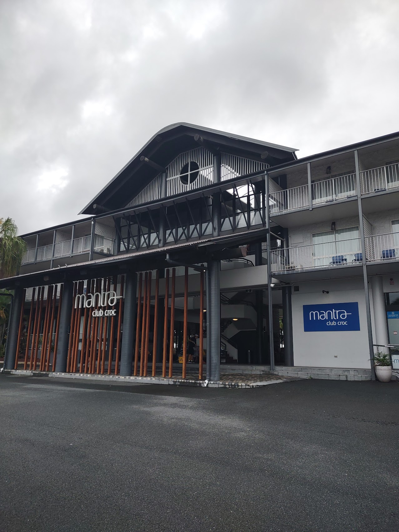
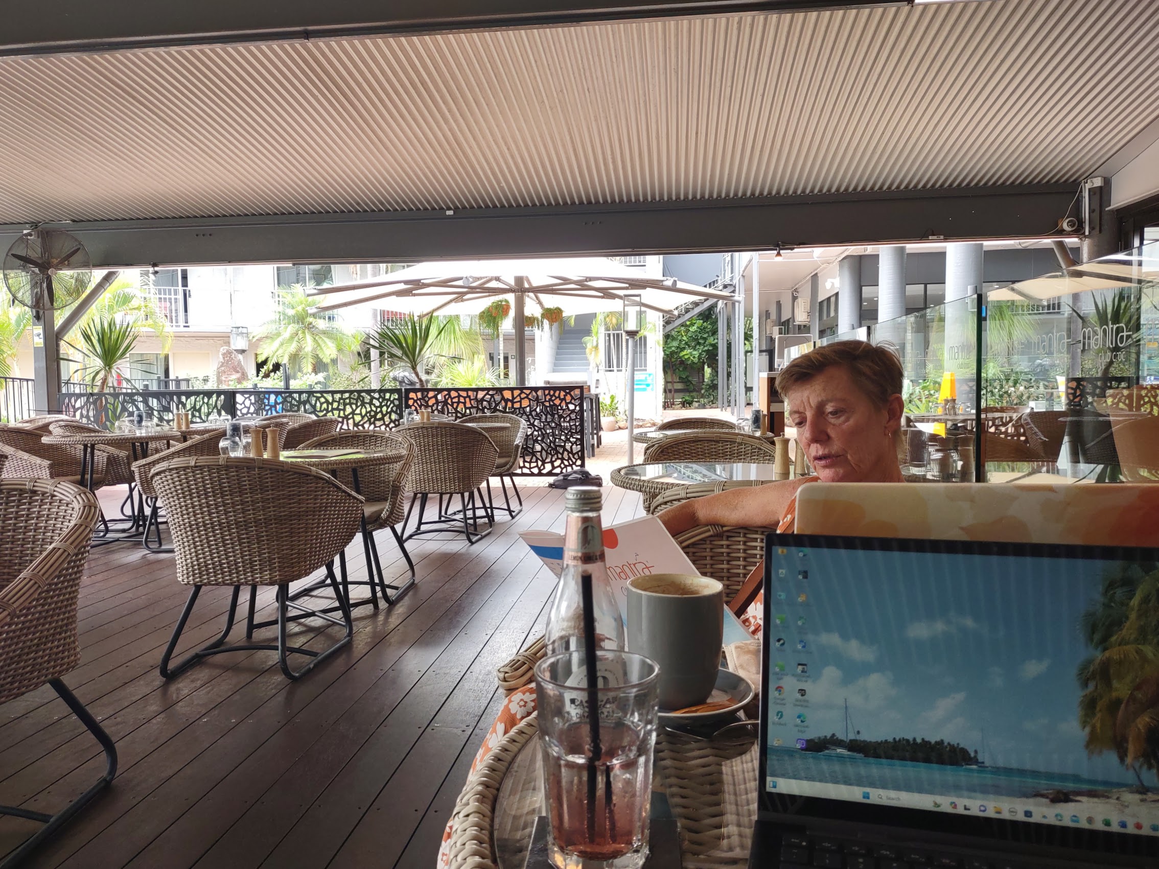
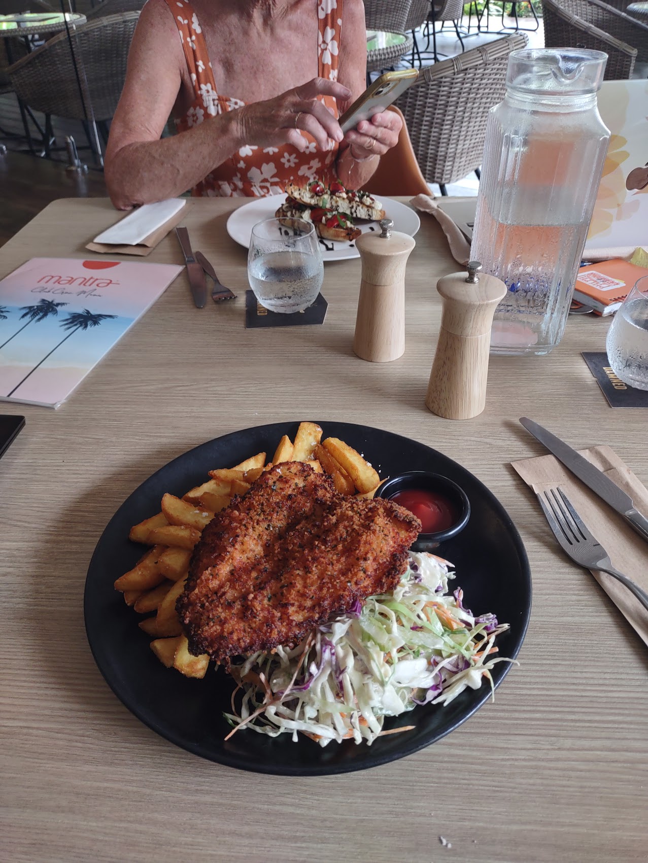
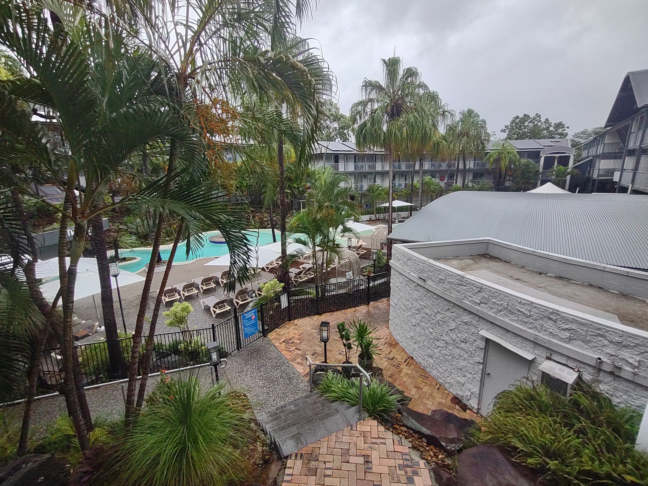
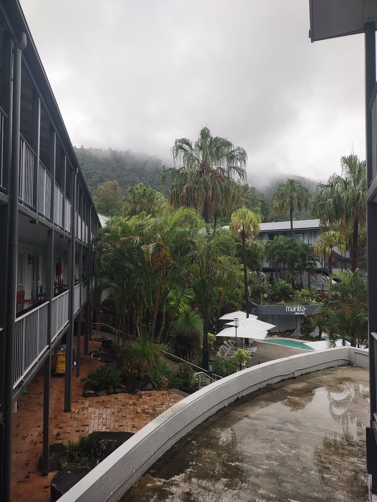
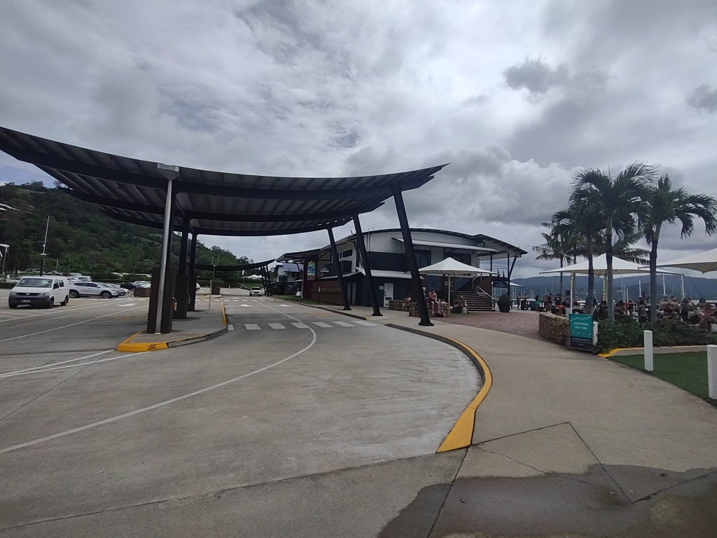
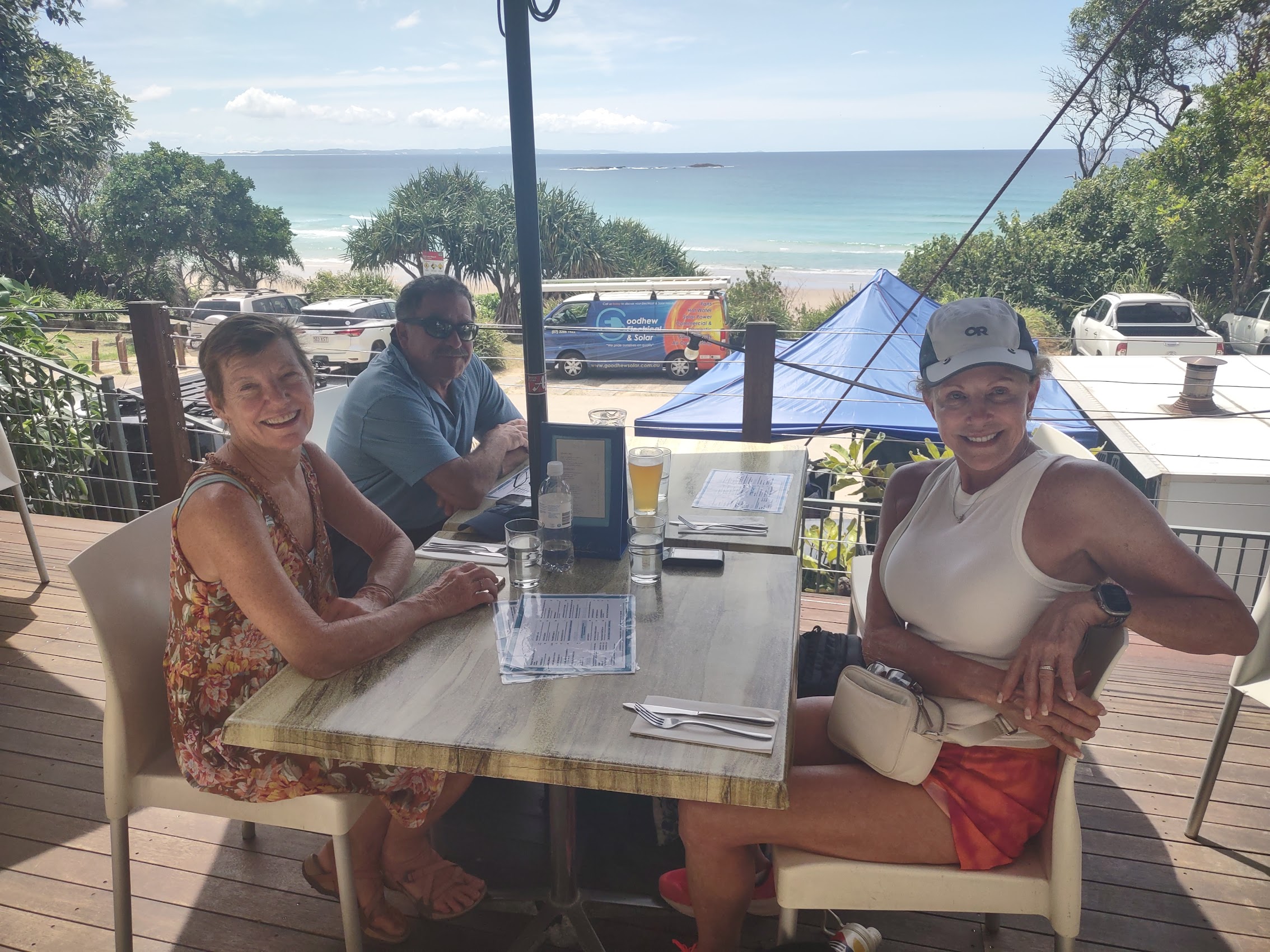
Denny and Wendy’s travel agent had booked them a room at a resort hotel just outside Airlie Beach called Mantra Club Croc, so we booked one there as well – just for the one night and (thanks to our Booking.com Genius Level 3 discount) for just $1 over our adjusted budget!. We arrived quite early and so camped out in the hotel’s open air café and worked for a couple of hours until our room was ready, had lunch (great fish and chips!), and then hung out for a bit at the hotel’s pool until the Maddens arrived later in the afternoon.
It was a pretty joyous reunion which we celebrated with drinks and then dinner at the Mantra Club Croc catching up and reviewing the details of our sailing trip in the Whitsundays which started the next day. We retired to our rooms early as we had a bit of organizing as well as some last-minute laundry to do. As had been the case on our sailing cruise through the San Blas Islands in Panama, stowage space on board is pretty limited and you are strongly encouraged to bring as little as possible with you. But, given that we would only be out for three days and the only places we would be were either on the boat, in the water, or hiking on one of the uninhabited islands, this didn’t turn out to be all that difficult, but it did require juggling some items between bags.
We were up early the next morning and, after breakfast at the hotel, we had a taxi take us to the office of Sailing Whitsundays, the agency we had booked our sailing cruise through, to stash the luggage we were not taking on the boat with us. From there we made our way into the center of town through an on-and-off drizzle to purchase beer, wine, liquor, and soft drinks for the trip. (Food and snacks were included in the cruise package, but not those items.)
Perhaps not surprisingly as it was Saturday morning, Airlie Beach was hopping with activity, mostly younger people, as we made our way to an open-air shopping center in the center of town where I had located a Woolworth’s with a BWS store next door. Once there, we had a bit of a debate as to how much beer, wine, and liquor one requires for a three-day/three-night cruise and, after making one round of purchases, decided that it might not be enough and bought some more.
Laden with what (now that we had to carry it) seemed an inordinate amount of beverages in addition to our backpacks, we made our way the Coral Sea Marina from which we would be departing, a walk of about two kilometers. We decided to get off the main road and make our way toward the waterfront which took us past the Airlie Beach Lagoon and along a boardwalk with some great views of the Bay which eventually brought us to the marina. As we had arrived a bit ahead of schedule, we stopped for at a place called Sorrento for drinks and to enjoy the view.


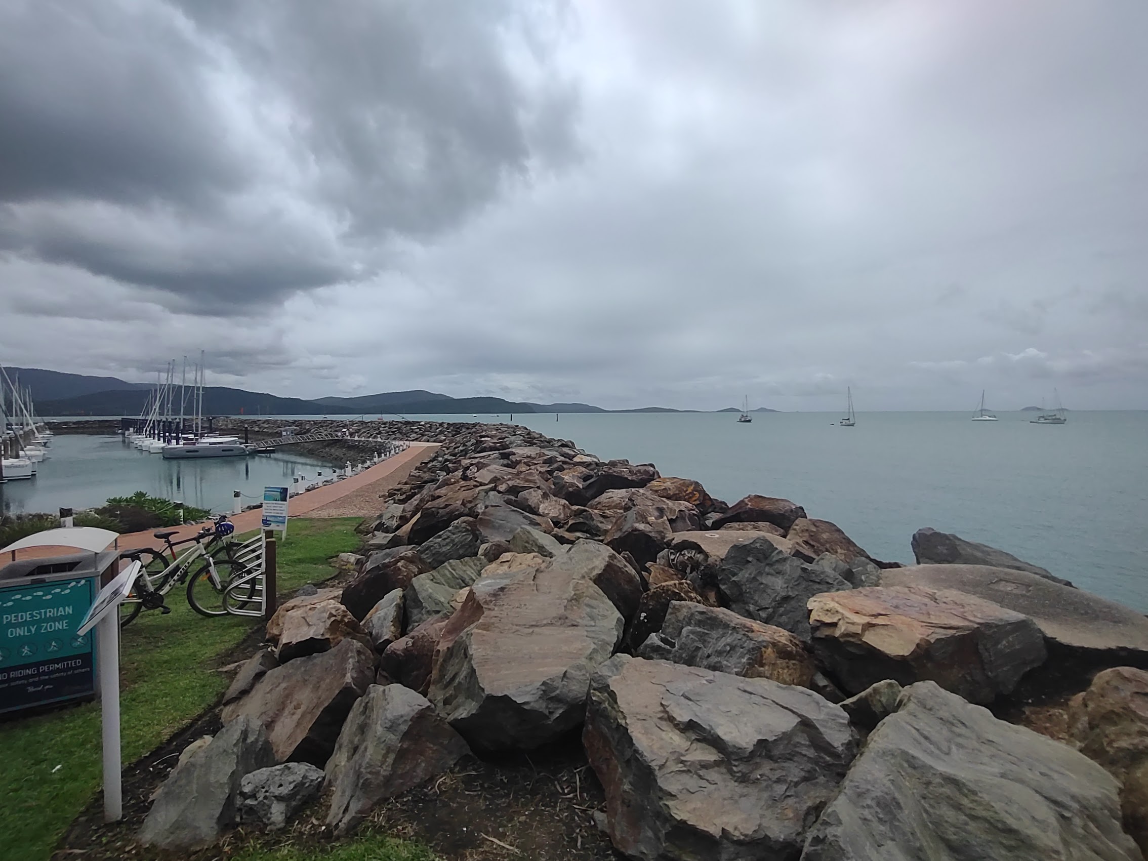
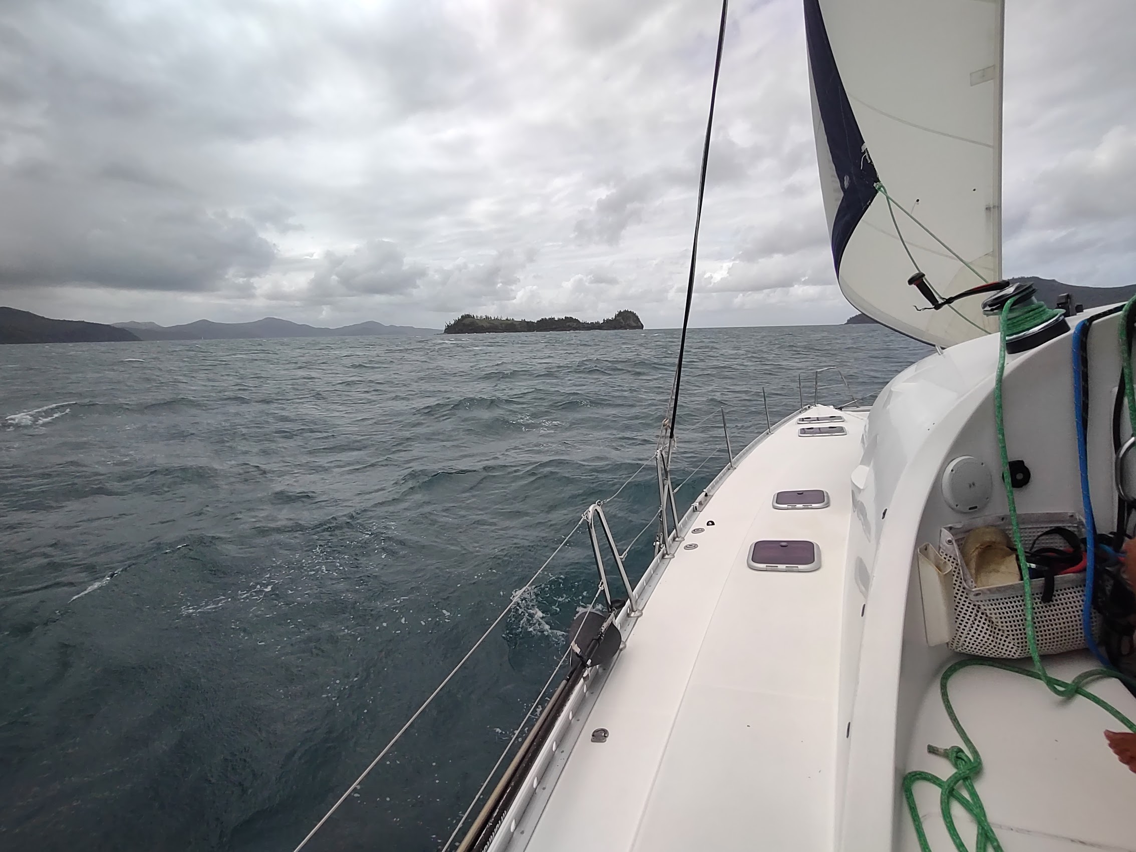
From Sorrento we followed our directions to Meeting Area C where we would be meeting our boat crew. Like town, the marina was very busy with boats of all sorts loading and heading out. We observed a number of larger boats loading up with lots of people which we surmised were the ever-popular sunset cruises and noted that the most popular piece of luggage amongst young cruisers appeared to be cases of beer! While it remained cloudy, the drizzle had stopped and we were guardedly optimistic about the weather for our trip.
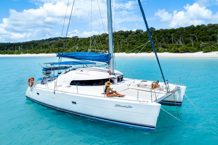
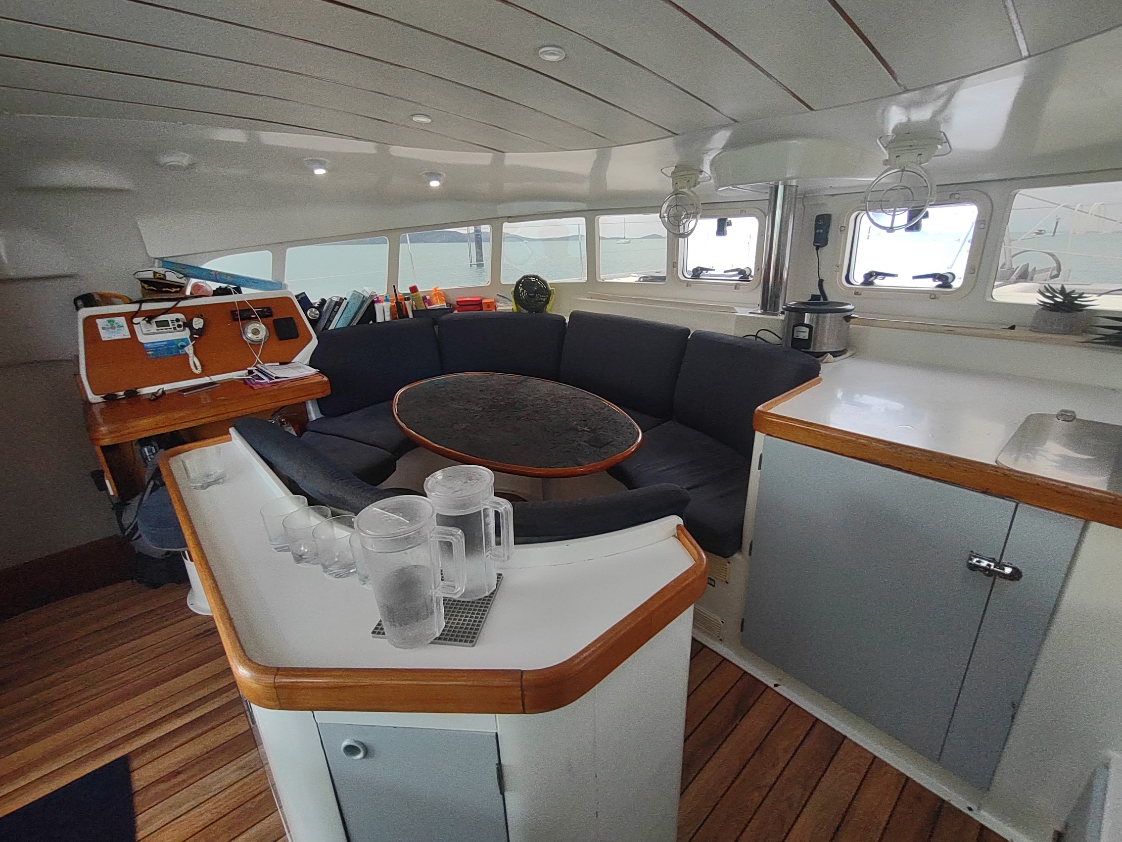
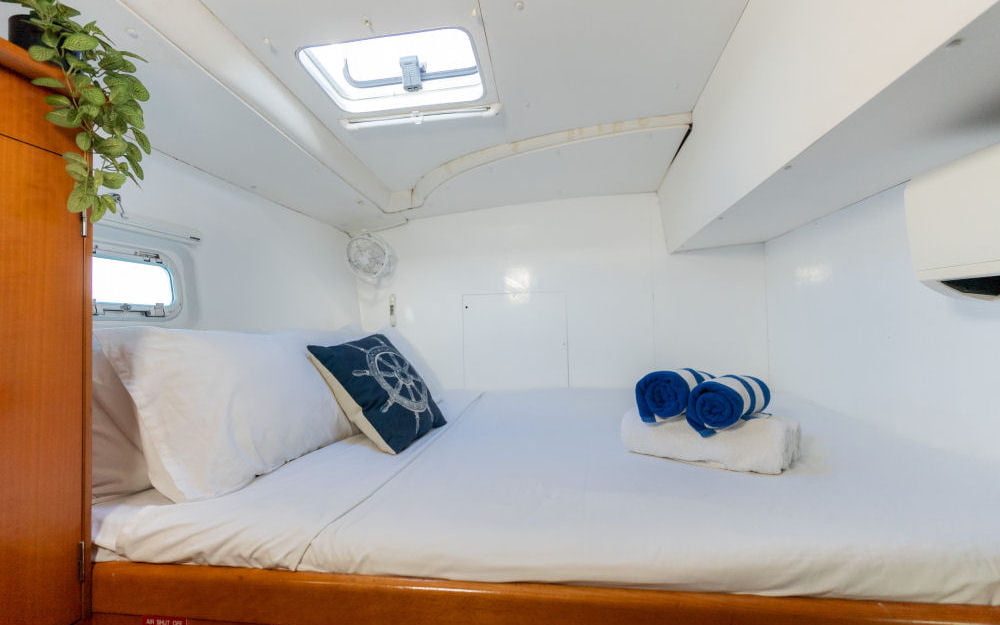
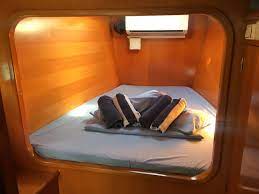
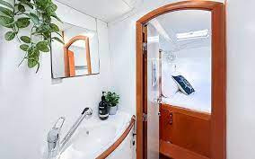
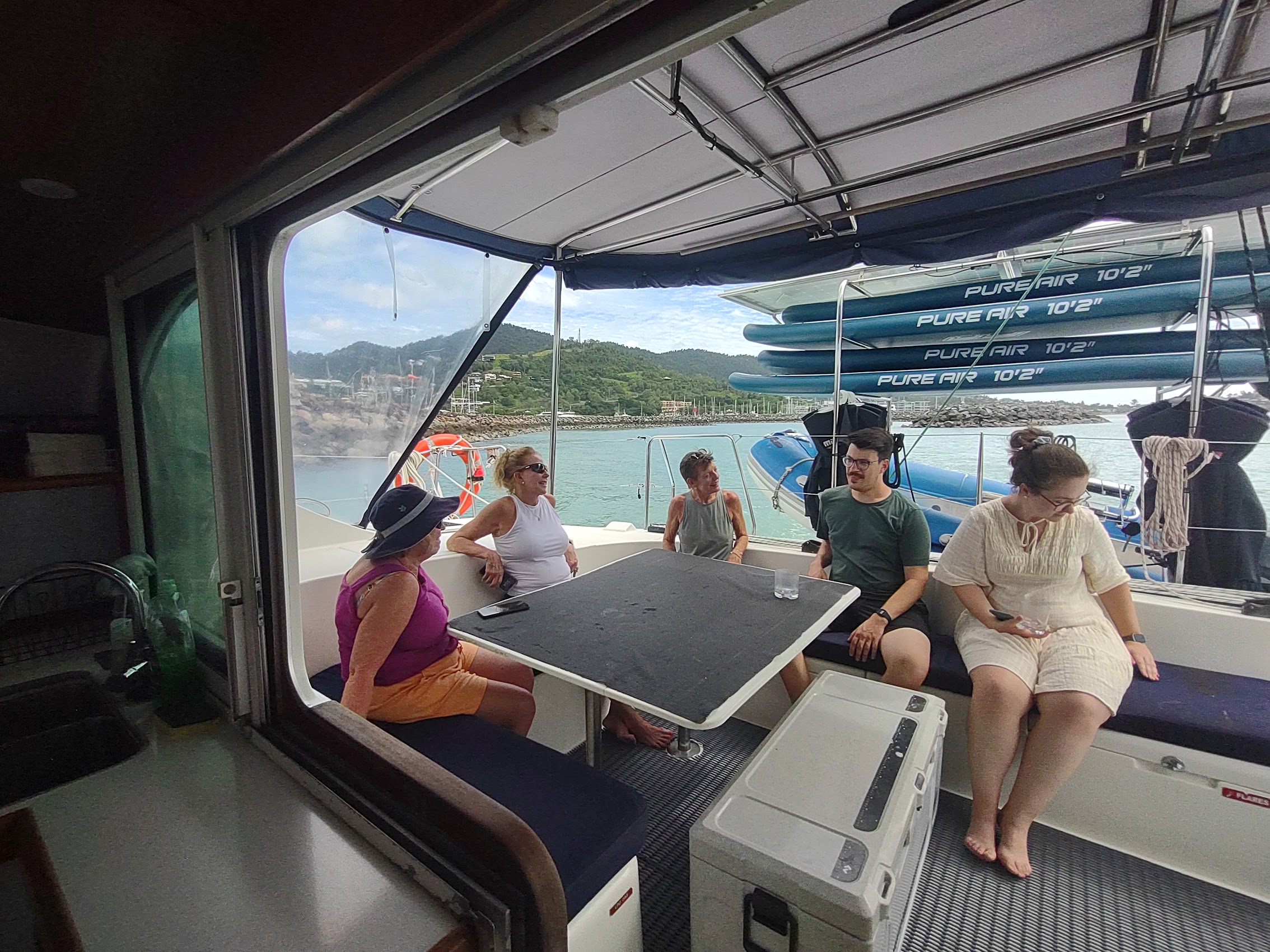
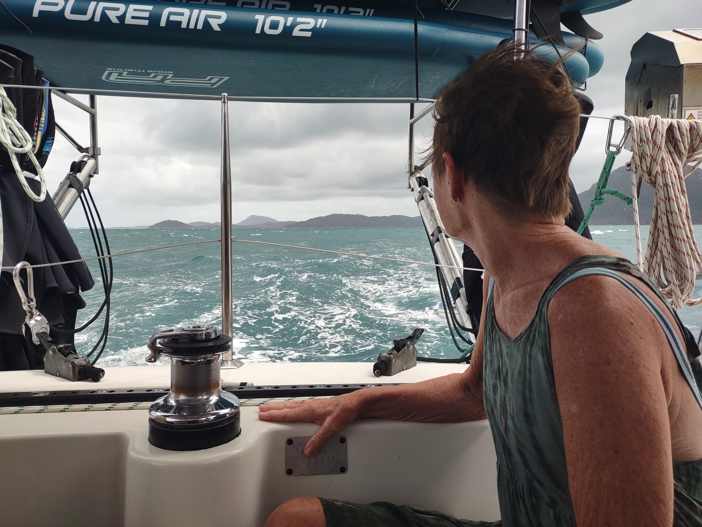
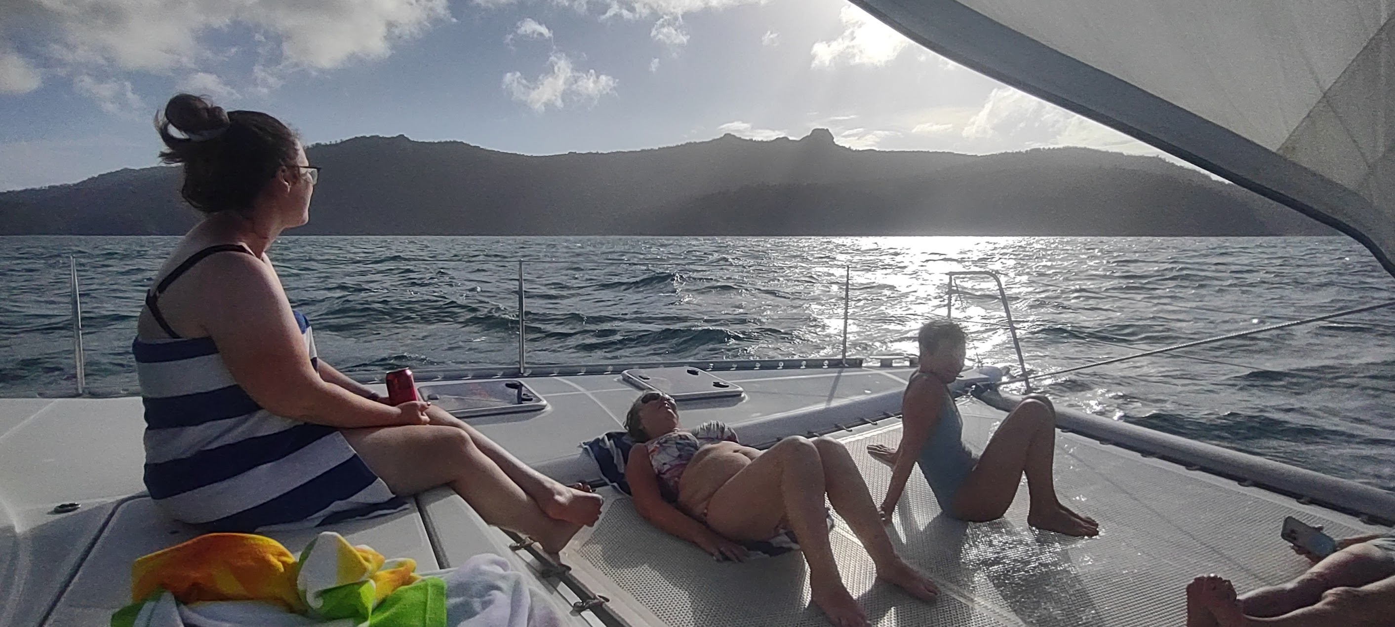
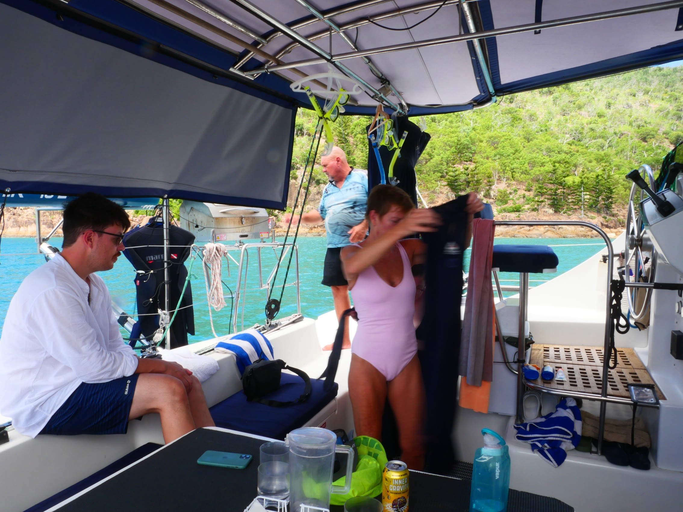
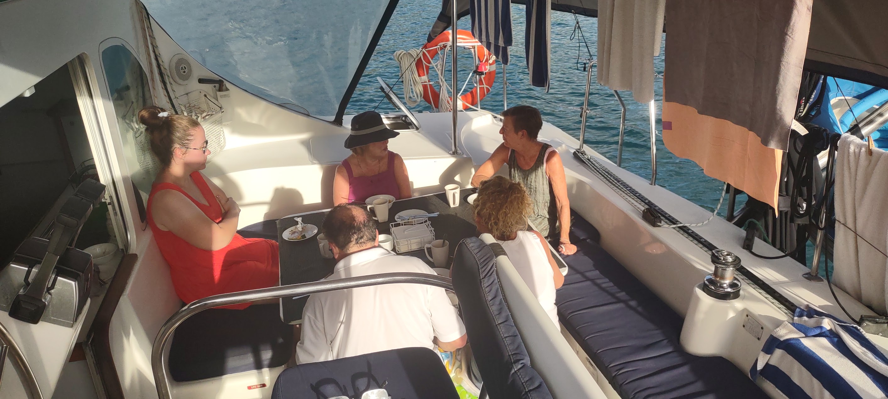
At Waiting Area C, which overlooked the marina, we were met by a nice young woman named Charlotte who led us and the rest of our group to Whitsunday Blue, which would be our home for the next three nights. Compared to the Koala X which we sailed on in the San Blas Islands, Whitsunday Blue seemed quite luxurious. It was a 40 foot catamaran with four double cabins, three of which (including ours and the Madden’s) had private ensuite toilets. (On Koala X, 12 of us shared a single toilet.) We were all happy to discover that each of the ensuites had a shower as well as a sink and toilet (really just a hose extension on the sink faucet) but some of us were less happy to learn that, due to an electrical issue, the air conditioning in the cabins was not working.
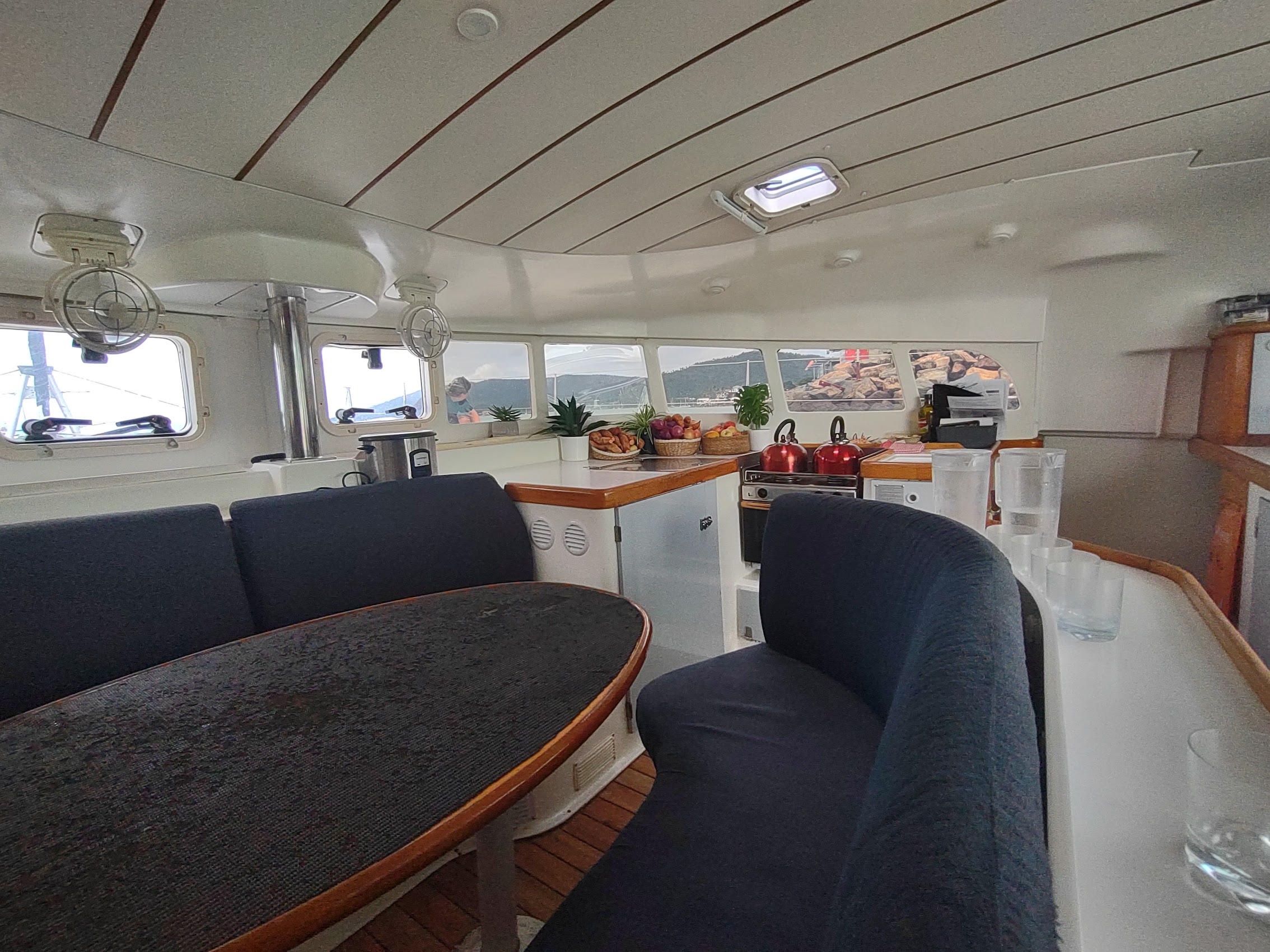
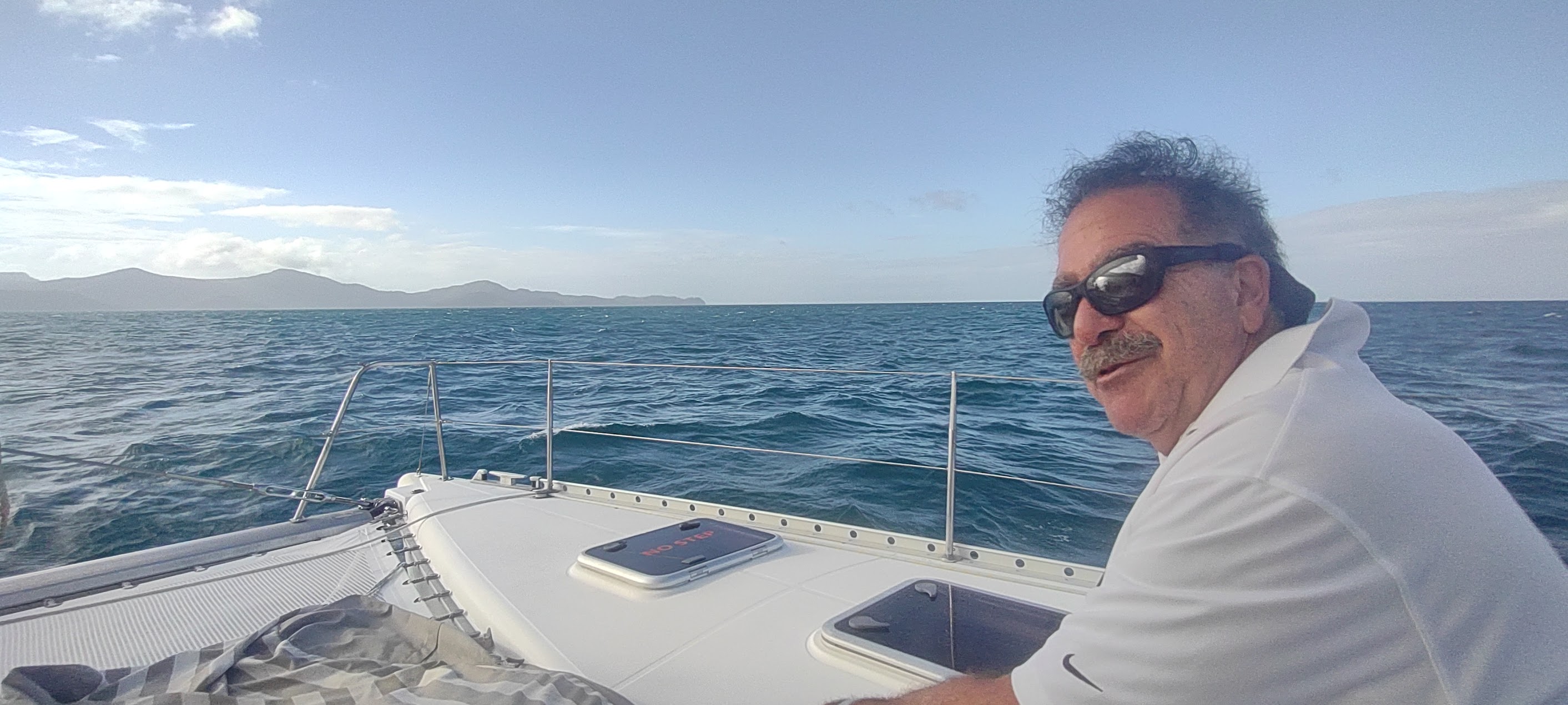
After stowing our stuff, we were briefed for the tour by Captain Aaron who was from Nelson, New Zealand which we would be passing by later in our trip. The memorable part of the briefing was Aaron’s request (in his patented New Zealand accent) to give our empty beer and soda cans a “wee crush” before depositing them in the recycling bin as (like most things on the boat) space was limited.
Prior to our pre-cruise briefing we had the opportunity to meet our travelling companions – Vivien a pensioner from the UK who was travelling solo and Adriano and Katherine, a thirtyish couple from Germany who were living in Shanghai where Adriano was working. Following the briefing we enjoyed a nice afternoon lunch and, as we headed out of the harbor, the clouds began to clear a bit and we caught sight of some blue sky which we hoped was a sign of things to come.
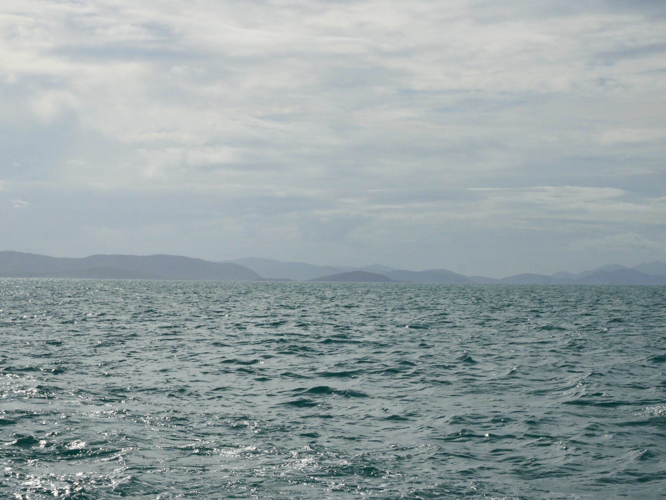
The Whitsundays
The Whitsunday Islands you see today were originally part of a mainland mountain range formed by volcanic activity and tectonic movement. Over millions of years, these mountains have separated from, and then rejoined, the mainland a number of times, as ice ages have come and gone and sea levels have risen. Prior to the arrival of Europeans, the Whitsundays had been inhabited for at least 9,000 years by the Ngaro, a First Nations people who moved between the islands and the continent as the land provided.
The Whitsunday Islands were “discovered” by Captain James Cook during that same cruise up the Queensland coast which took him past Mackay. The name Whitsunday (which is actually what Cook named the passage between the islands and the coast of Australia) because he made the passage on Whitsun, an archaic name for Pentacost Sunday in the Christian calendar.
Although Cook claimed the land for England in 1770, it wasn’t until almost 100 years later, in 1860, that white people began to settle in the area. Relatively quickly and very violently, the newcomers drove the First Nations people out of the area and off the islands, settling them for timber farms, grazing grounds and permanent homes, with many Indigenous people being killed, enslaved or indentured. Timbering petered out in the 1930’s and grazing never really took hold.
The Whitsundays are now home to hundreds of tours, a variety of accommodation, island resorts, Outer Reef trips, aerial tours and more. They host up to 500,000 visitors annually who come from all over the world to see all the wonders of the Whitsundays, including top bucket list items like the Great Barrier Reef and Whitehaven Beach. Seventy percent of the region is national park, preserving its natural beauty, prolonging its life for future visitors and the longevity of tourism in the Whitsundays.
Probably the biggest misconception regarding the 74 islands which make up the Whitsundays is that they are all like Whitehaven Beach on Whitsunday Island with amazingly white sand dunes leading to beaches surrounded by swirling patterns of sand and water in every shade of green and blue imaginable (perhaps not surprising as Whitehaven Beach is usually the first image which comes up if you Google “Whitsunday Islands”). But, as we would learn, while there are a number of nice sand bars and pocket beaches, most of the islands are pretty rocky and covered with scraggly pines and underbrush.
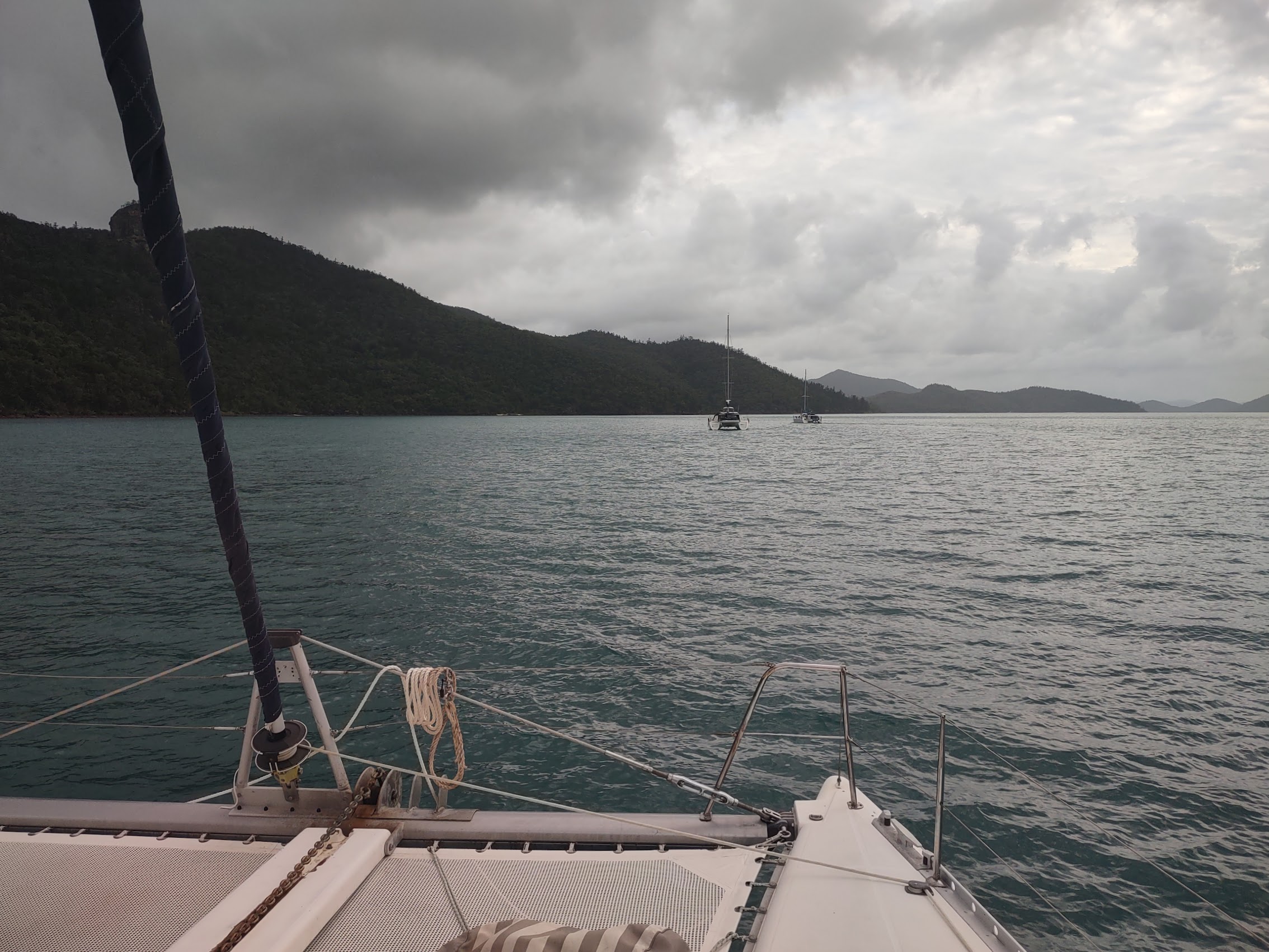
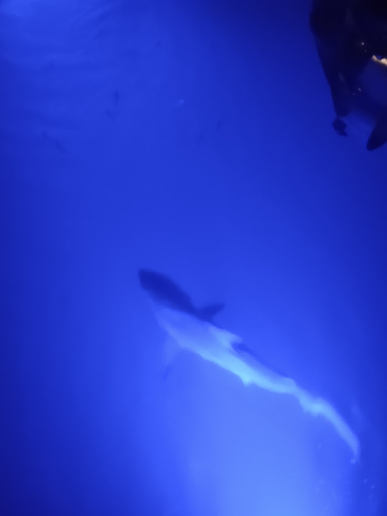
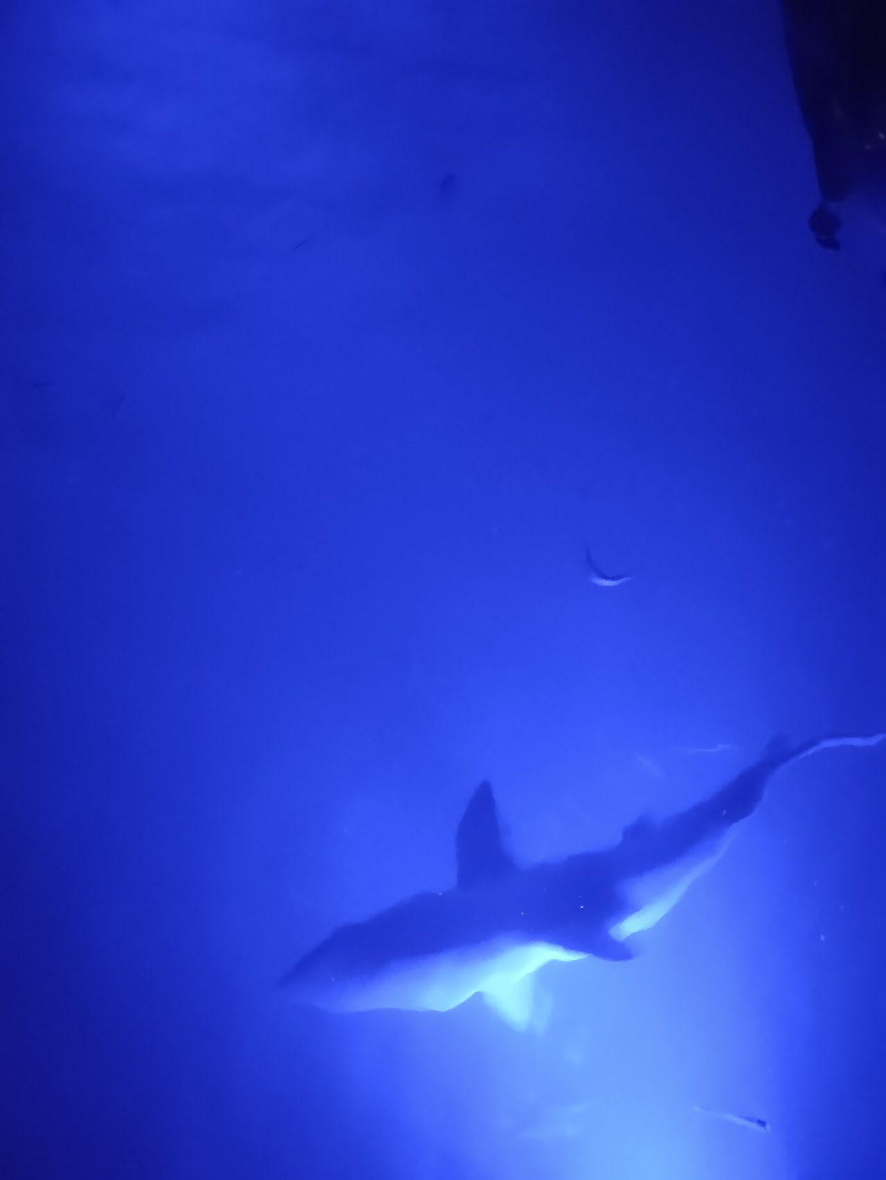
On our first day, we made our way from Airlie Beach, through a passage between what are known as the Molle Islands, and then set anchor for the evening just off the west coast of Whitsunday Island, the largest and best known of the Whitsunday Islands. After a nice dinner prepared by Charlotte we hung out having drinks (give that can a wee crush, won’t you?) while Denny enjoyed his daily evening cigar, and thanks to some blue underwater lights which Captain Aaron turned on beneath the boat, we learned why swimming at night is strongly discouraged.


Unfortunately, we got some heavy rain that first night which required closing our top hatches which, combined with no AC, led to less than ideal sleeping conditions.
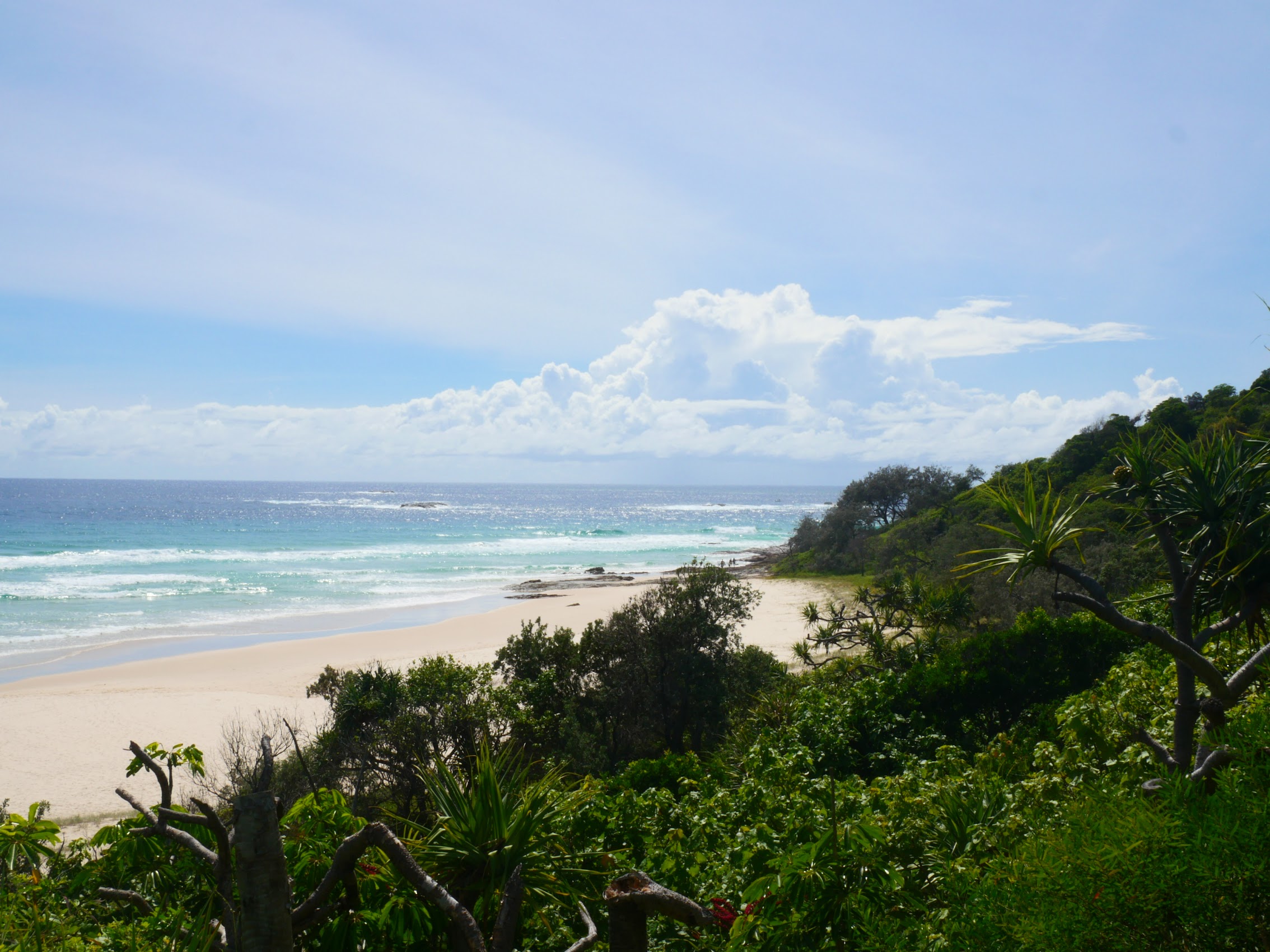
Whitehaven Beach
Despite a bit of a rough first night, we woke up excited as we lifted anchor and headed to what we anticipated to be the high point of our cruise, Whitehaven Beach. I’ve already given you a brief description of Whitehaven (and you’ve already seen it – it’s the cover photo for this blog installment), but it is honestly one of those places which is very difficult to describe adequately in words, and the way that our visit to Whitehaven Beach was structured added quite a bit of drama to the whole experience.
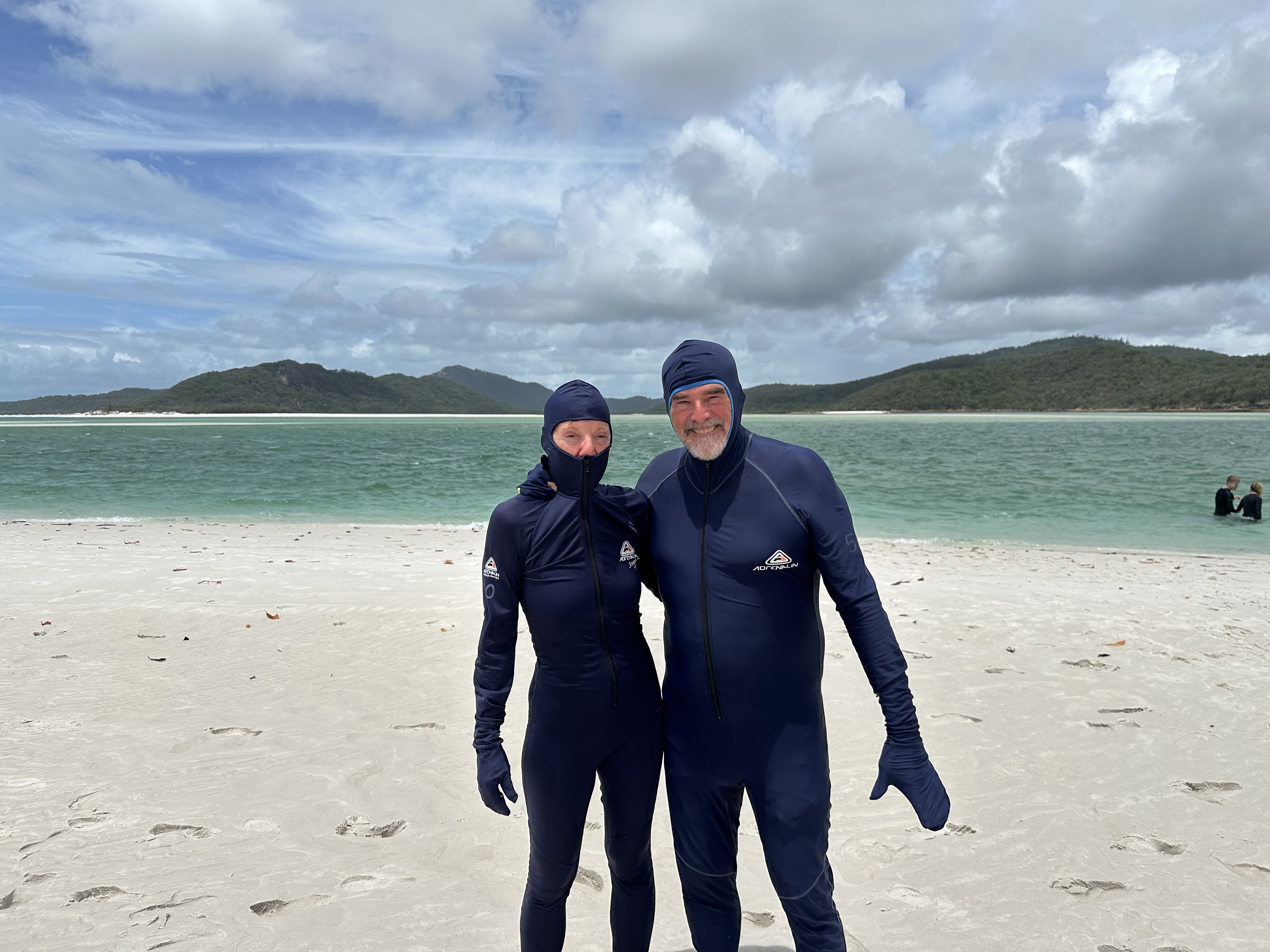
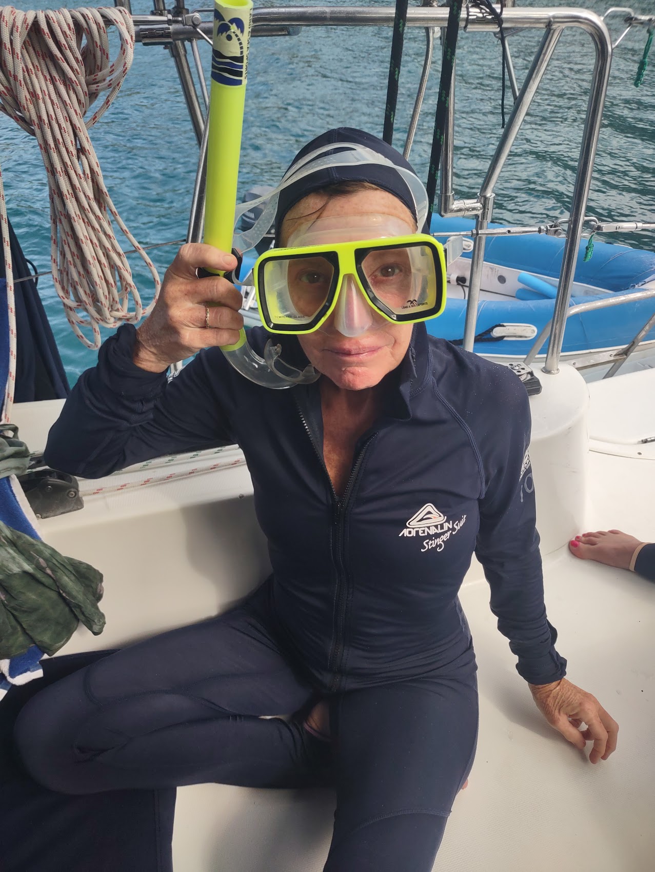
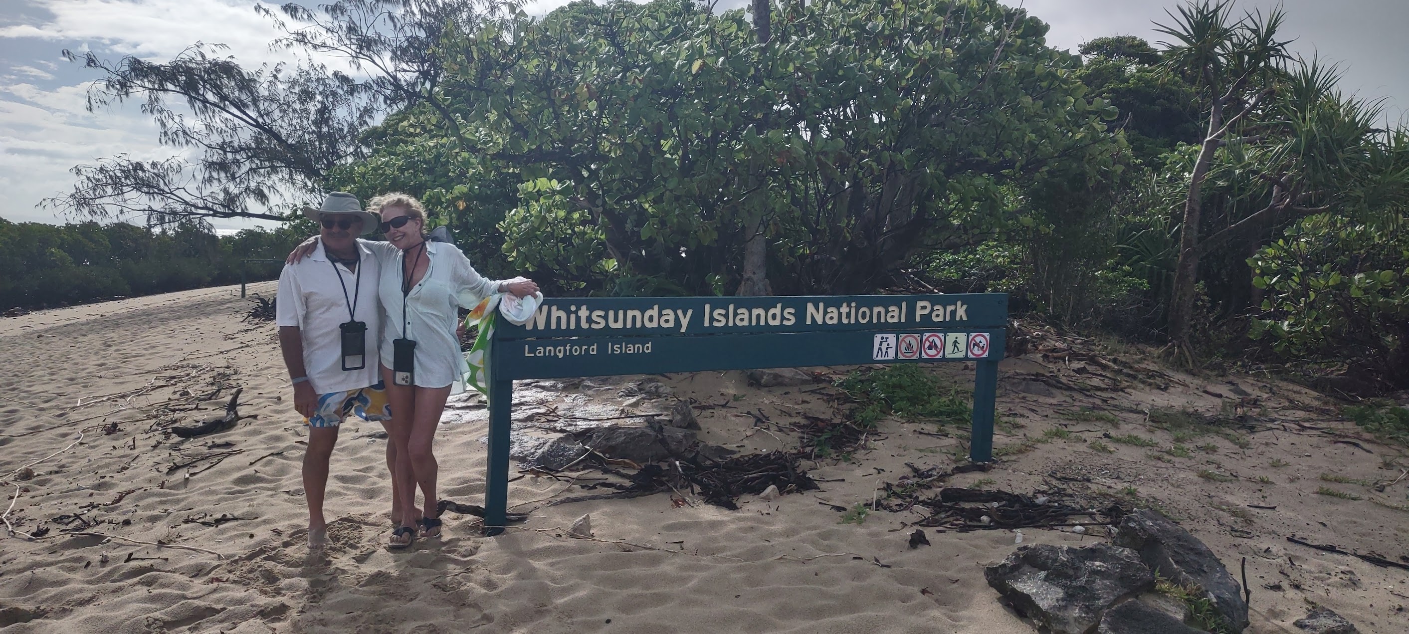
Prior to taking the skiff over to the Whitsunday Island, we were introduced to our “stinger suits”, which were mandatory if you were going into the water. (Stinger suits look quite a bit like wet suits for diving but are very light and stretchy, covering everything but your face and feet, and are intended – as the name suggests – to protect you from “stingers”, i.e., jellyfish.) The stinger suits made for an interesting fashion statement which Colleen described as kind of “ninja commando” which was pretty much what we looked and felt like as we boarded the skiff and set out for the shore of Whitsunday Island where, fortuitously, the clouds were opening up and the sun was shining.

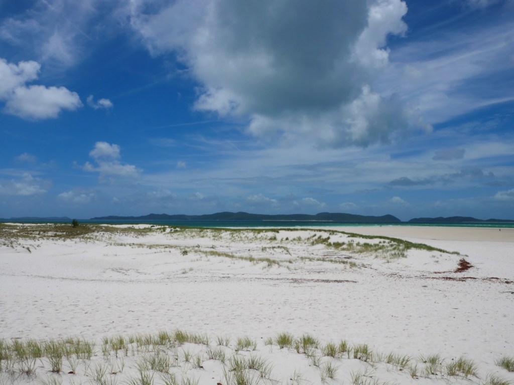
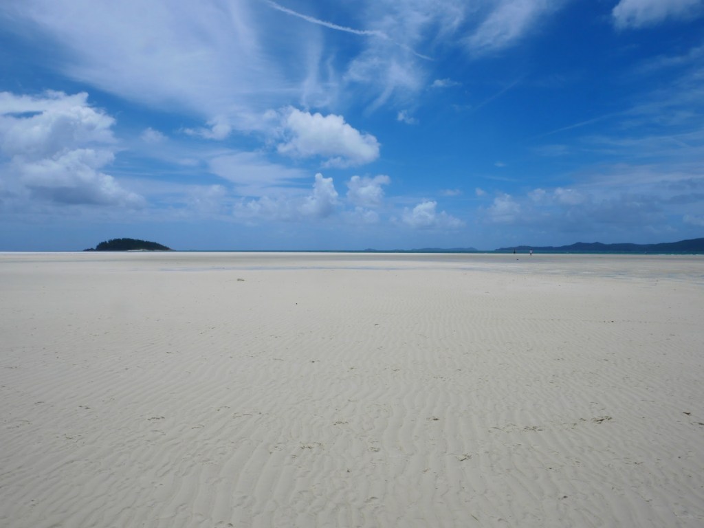
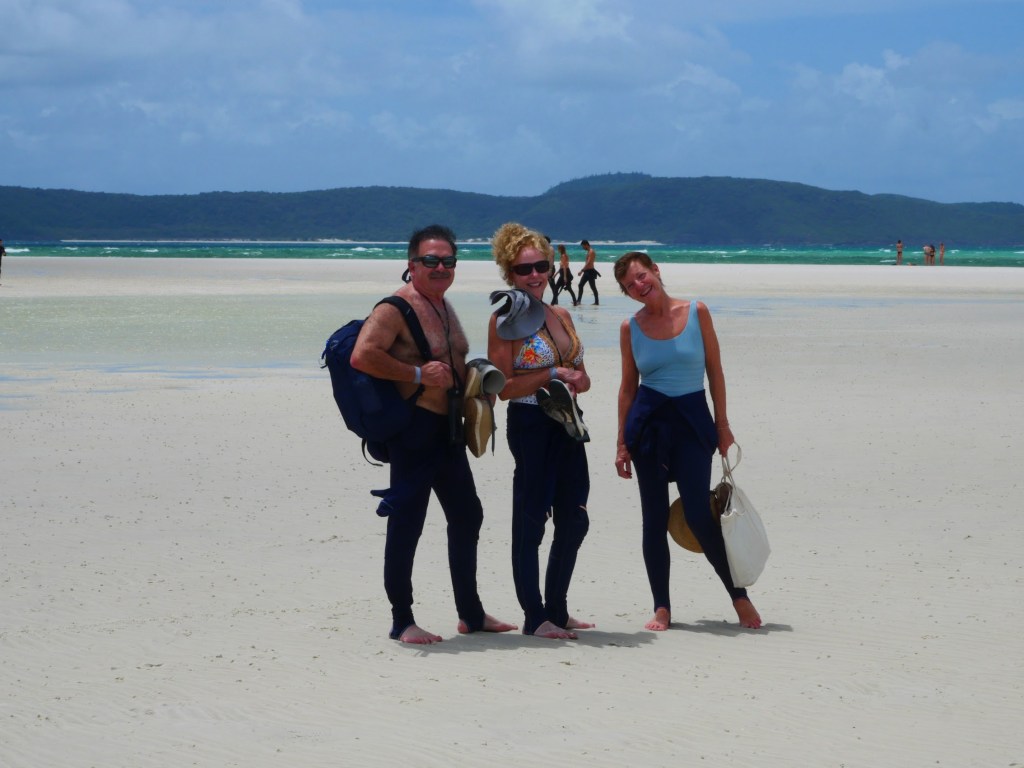
We were dropped at a small rocky beach on the backside of Whitehaven Beach (which you couldn’t see at this point) with a small interpretive center at the bottom of a trail leading up the ridge of the peninsula. While it wasn’t exactly crowded, there were quite a few other groups coming and going as we made our way up the trail to what is known as the Hill Inlet Lookout. At the top of the trail were a boardwalk and a series of viewing platforms from which incredible views of Whitehaven Beach and the Hill Inlet unfolded. Truly amazing.
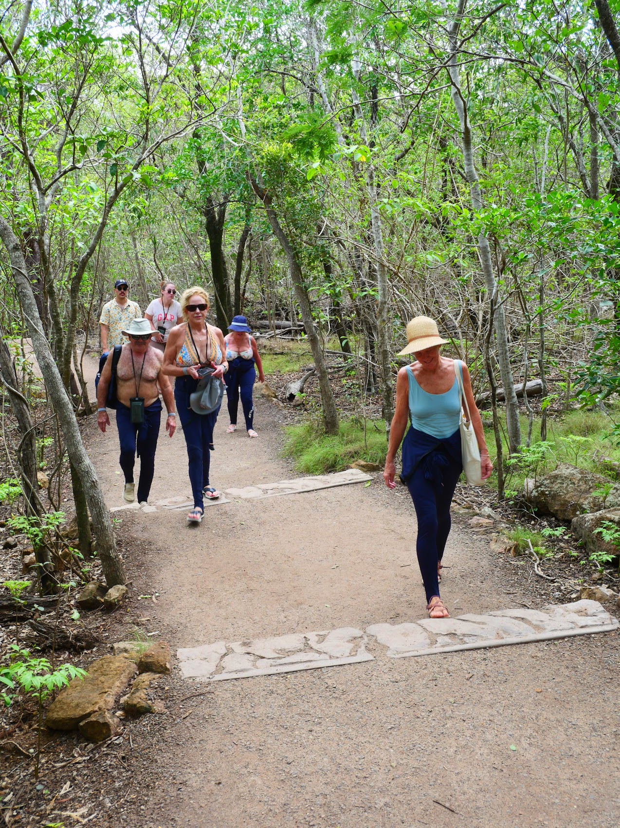
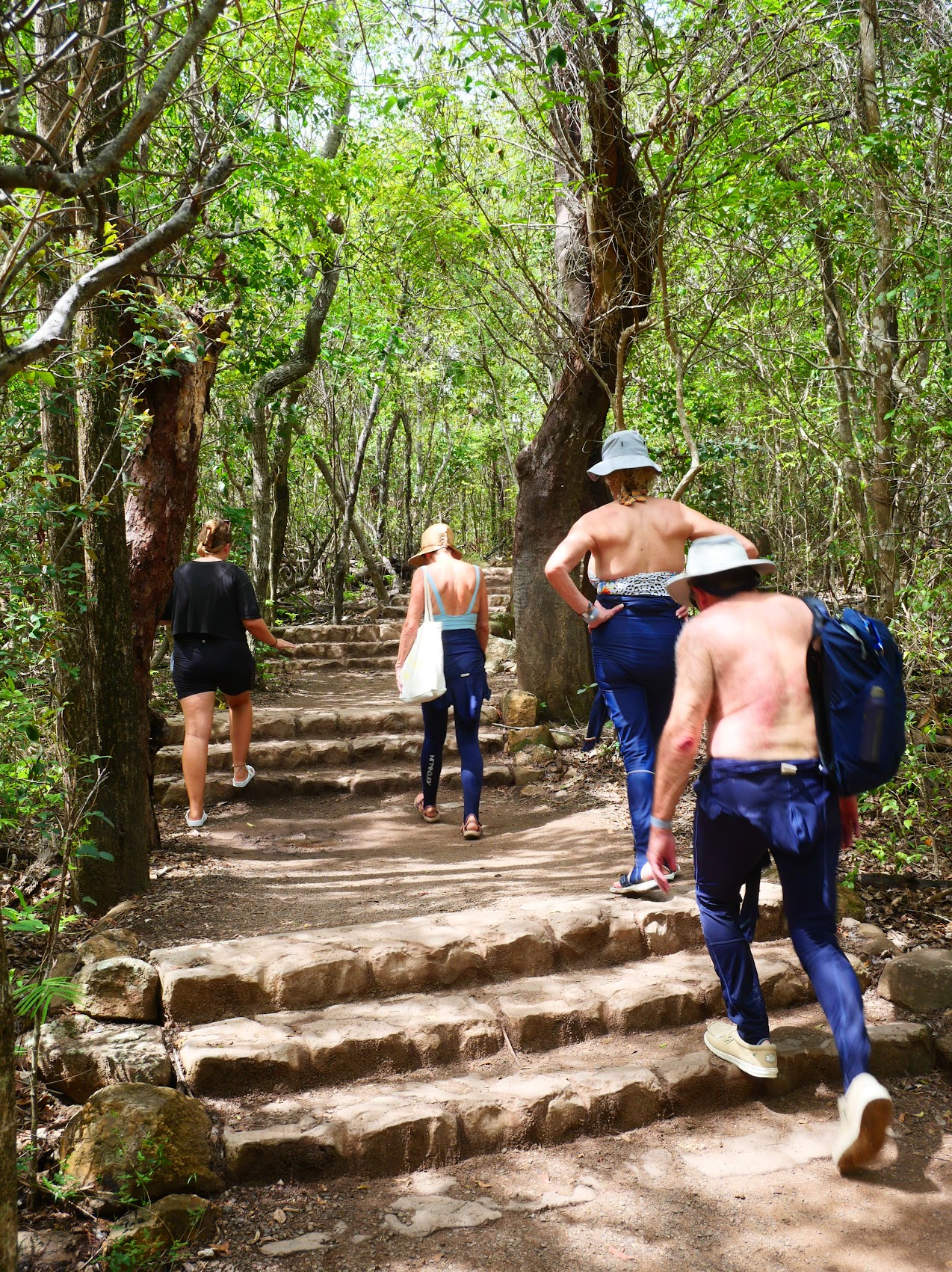
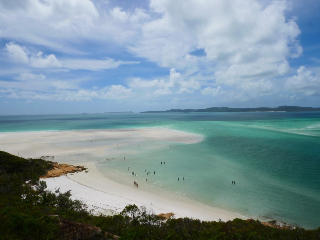
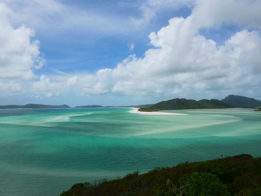
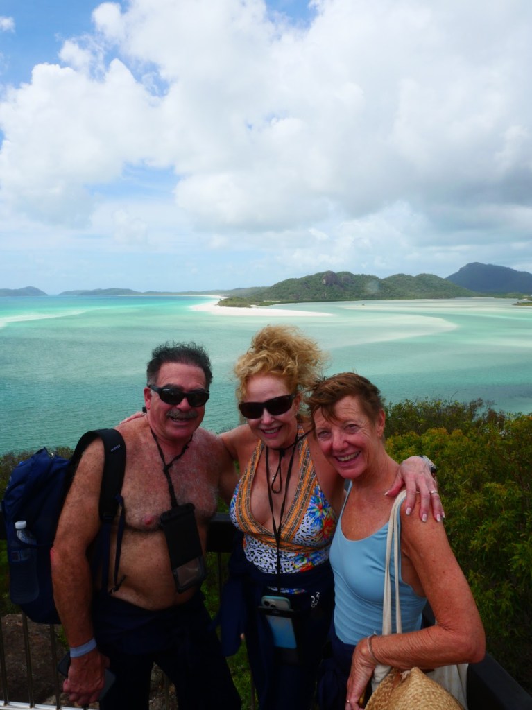
After taking in the view and snapping quite a few photos, we made our way down the trail to the other side of the peninsula. The view of the beach and inlet as we emerged from the bush was just as amazing as it had been from the lookout with dunes of incredibly fine incredibly white sand sloping down to a very wide expanse of beach and those otherworldly swirling colors of the bay. While there were quite a few other people on the beach, it was so expansive that it felt anything but crowded. We made our way across the dunes and (with our stingers pulled back up) waded into the warm shallows to just laze about a bit then back onto the beach to laze a bit more. Truly an incredible place!
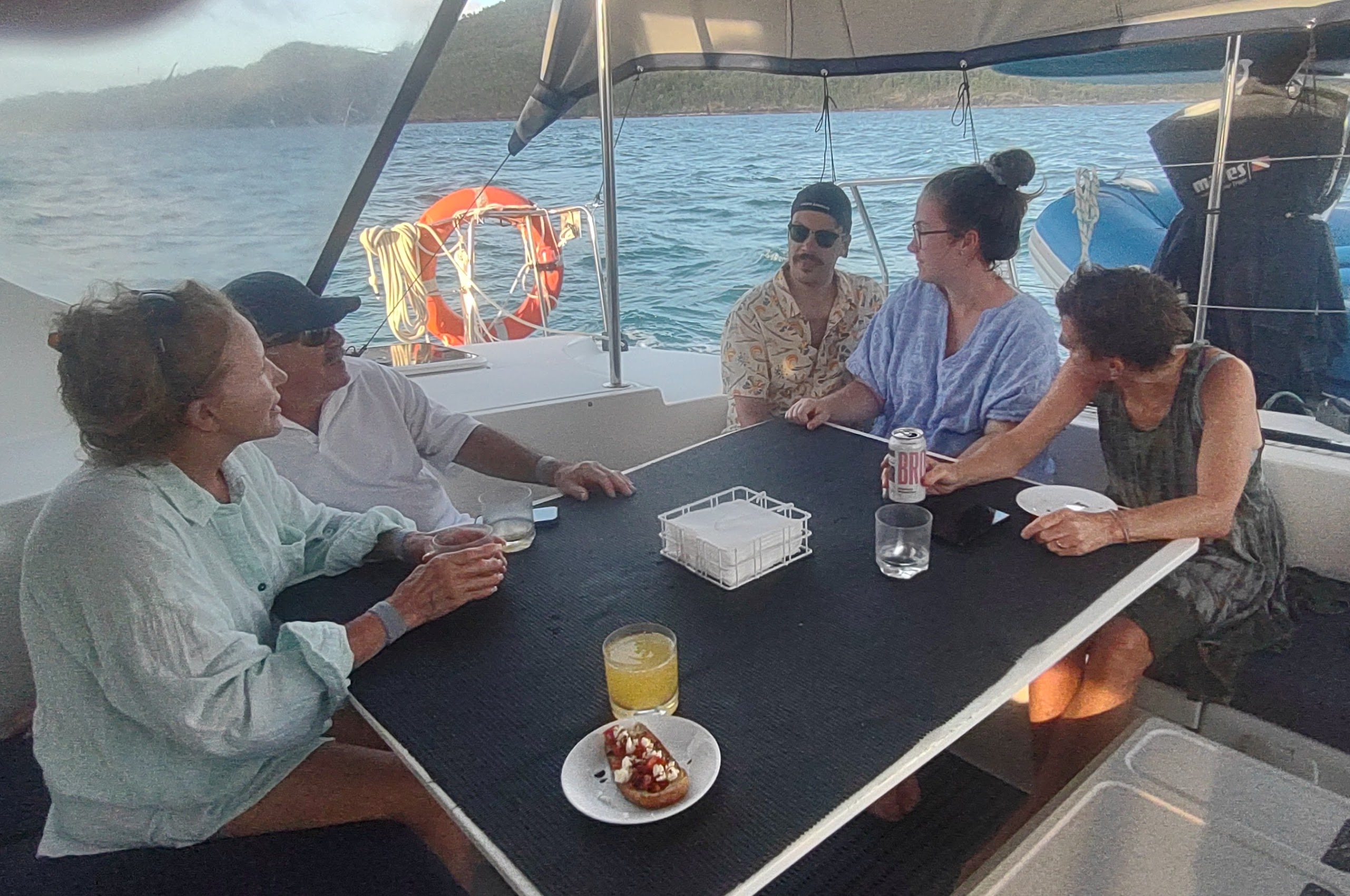
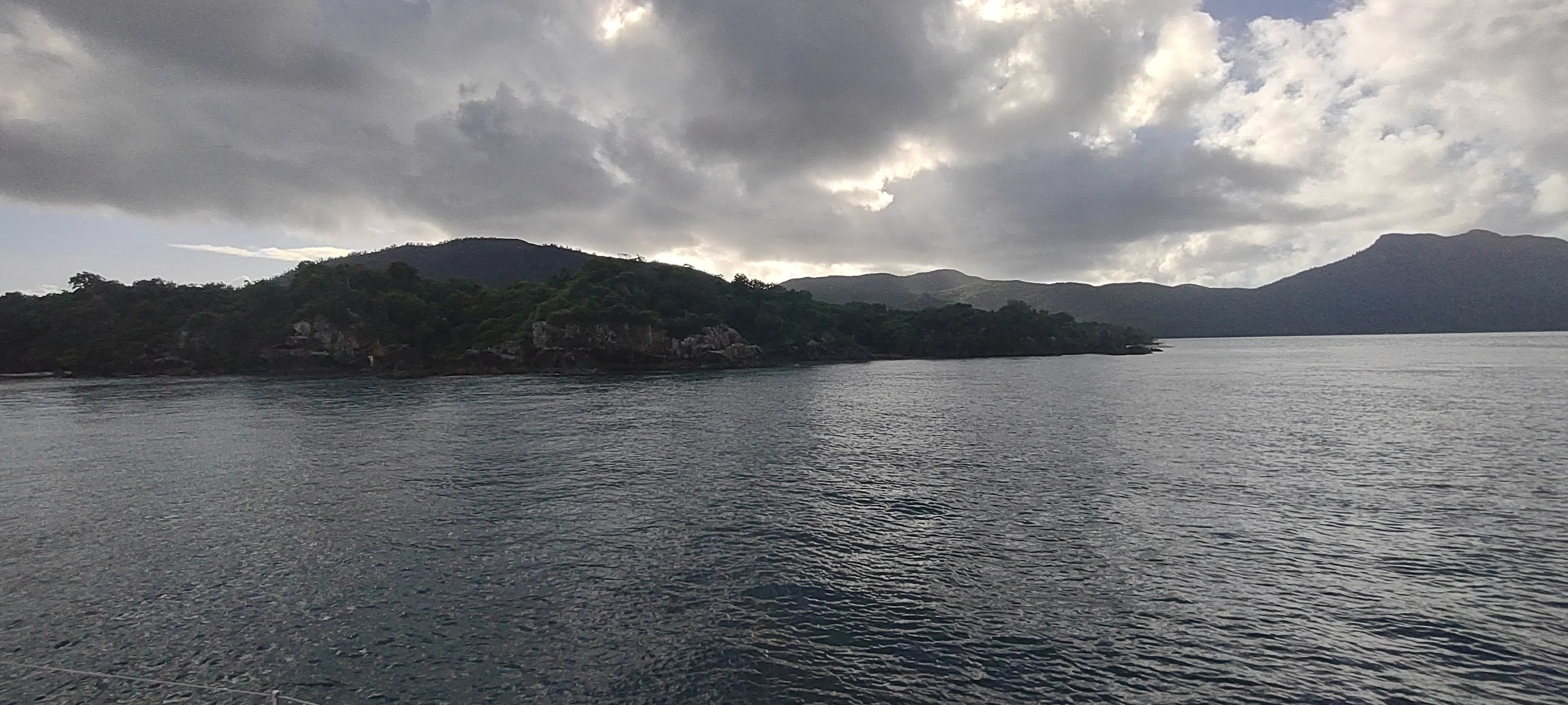
From Whitsunday Island we sailed to a small island called Dumbell Reef for some afternoon snorkeling (once again in our ninja commando suits!) before sailing on to our next anchorage up the Nara Inlet on Hook Island as the clouds cleared and we enjoyed a wee bit of sunshine. By this time, we had grown quite chummy with our fellow passengers and were enjoying hearing more about them, their families, and their own travels.


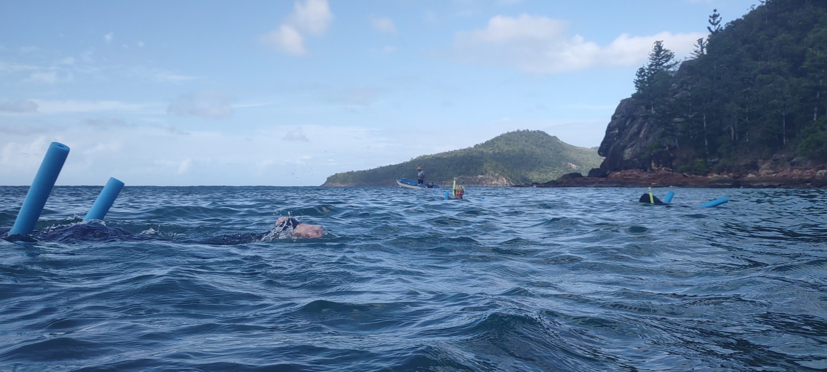

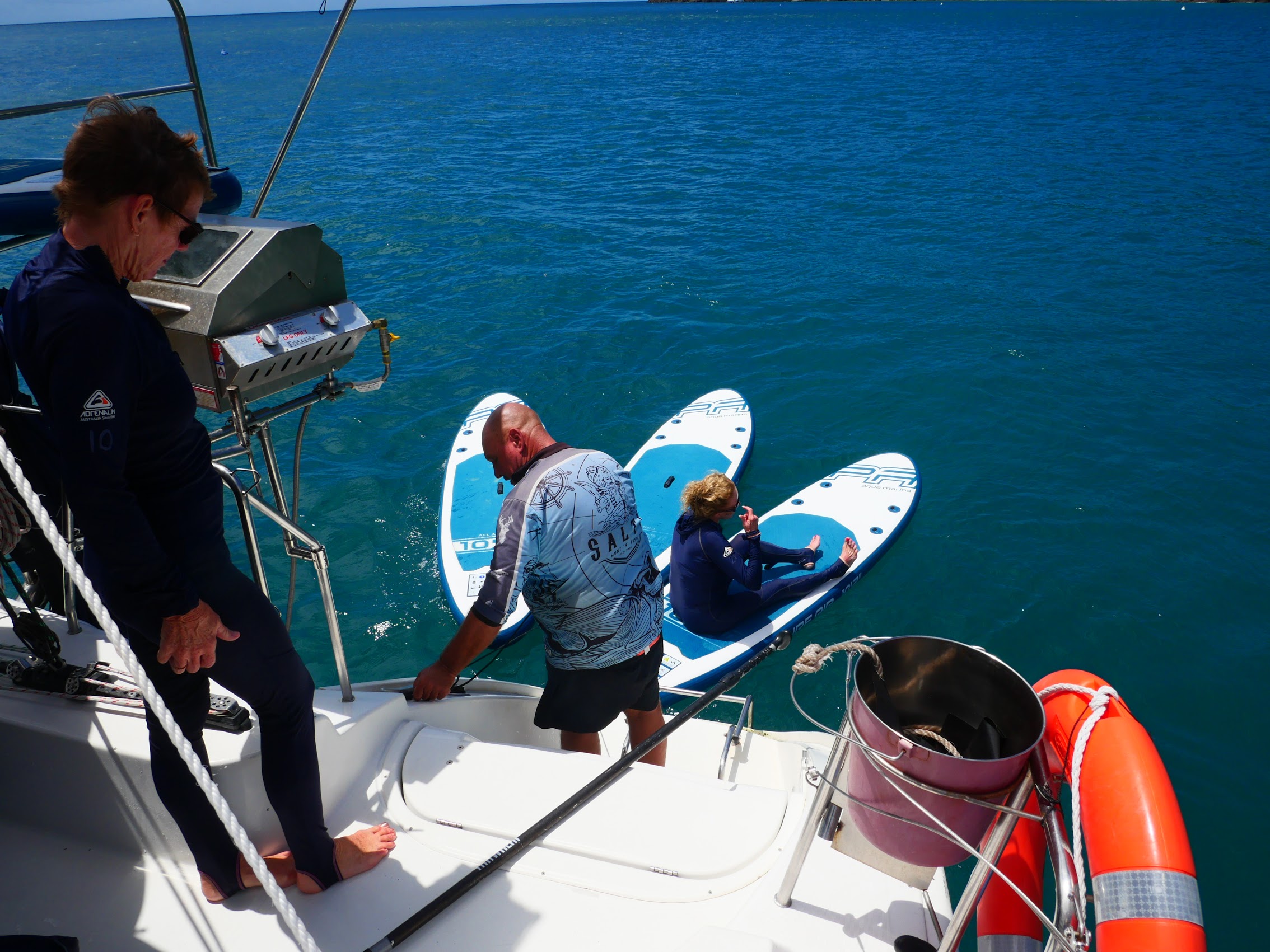
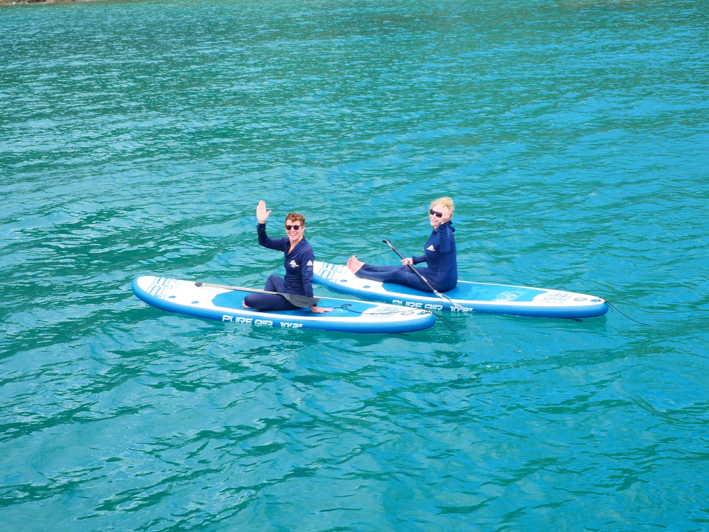
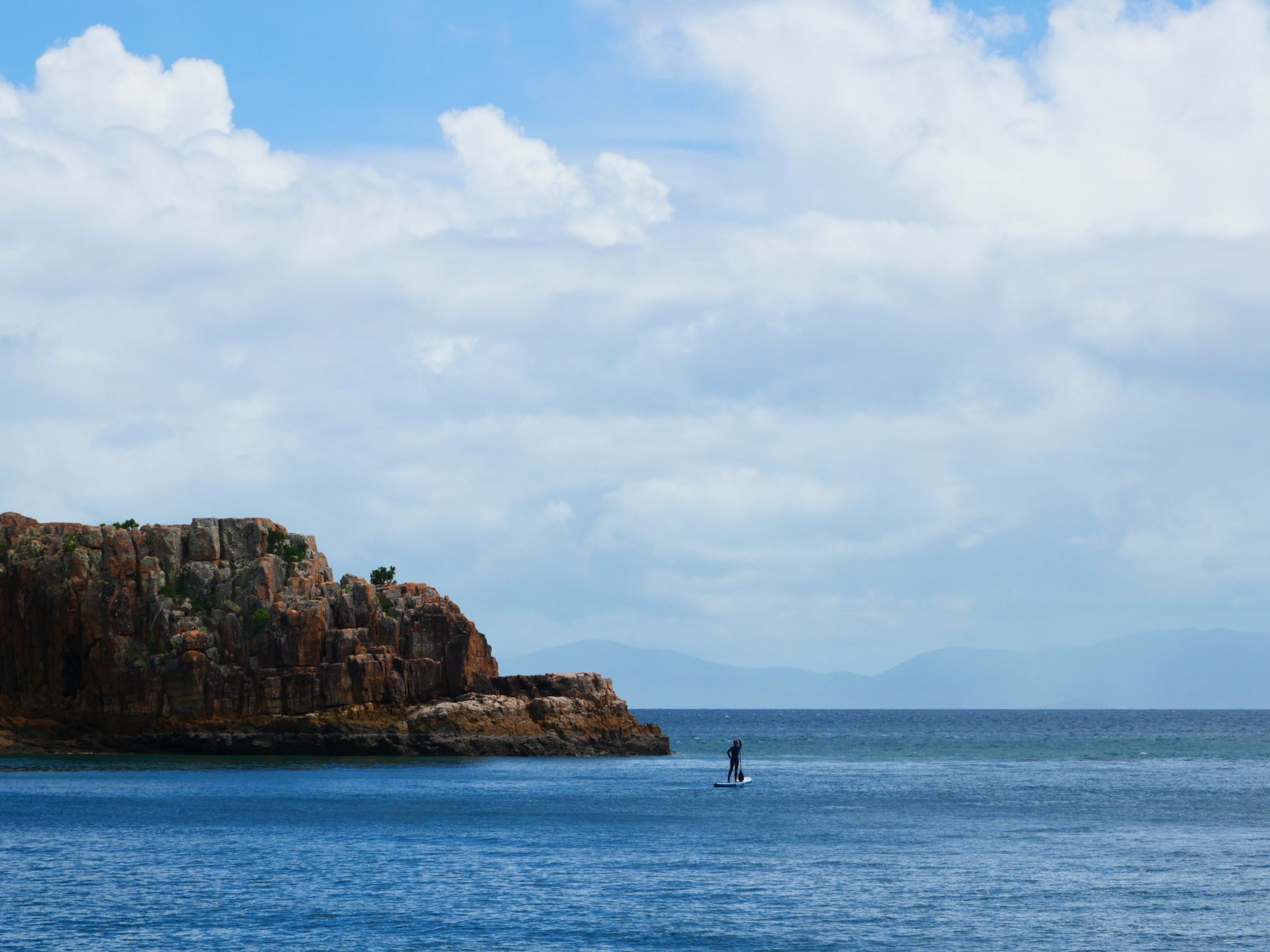
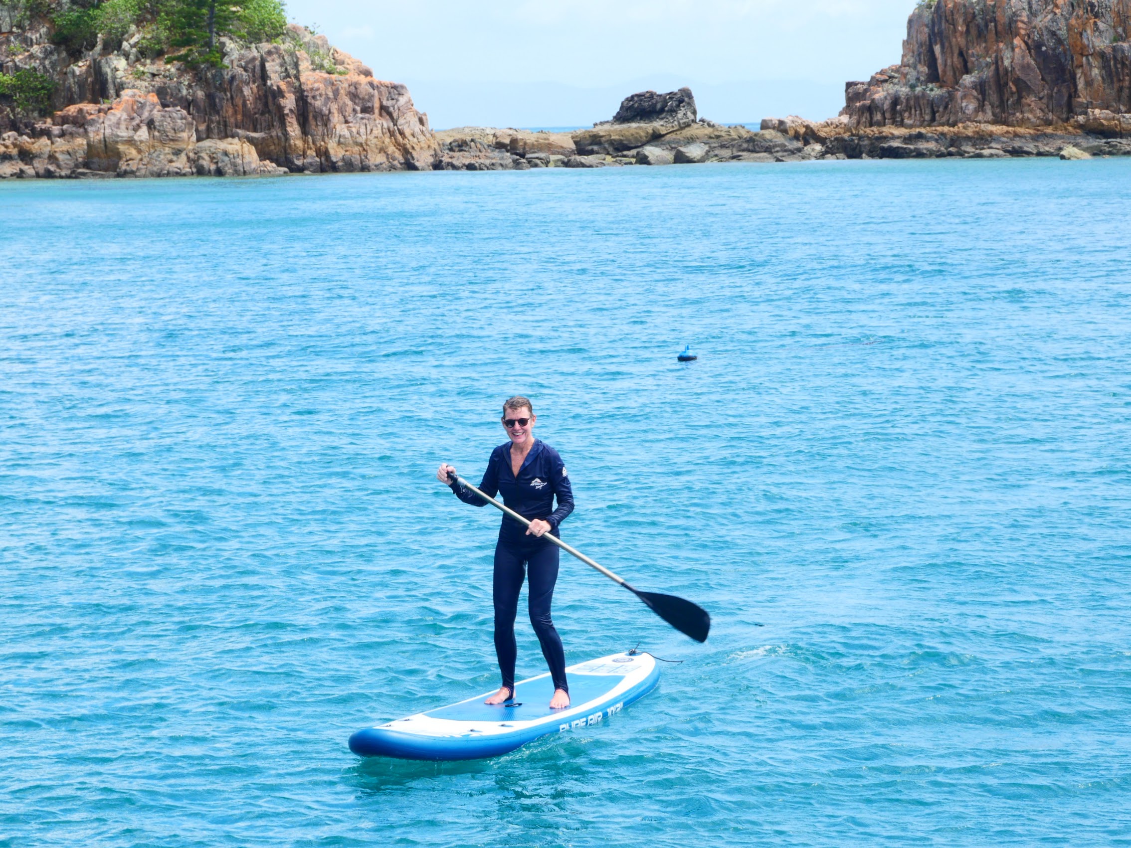
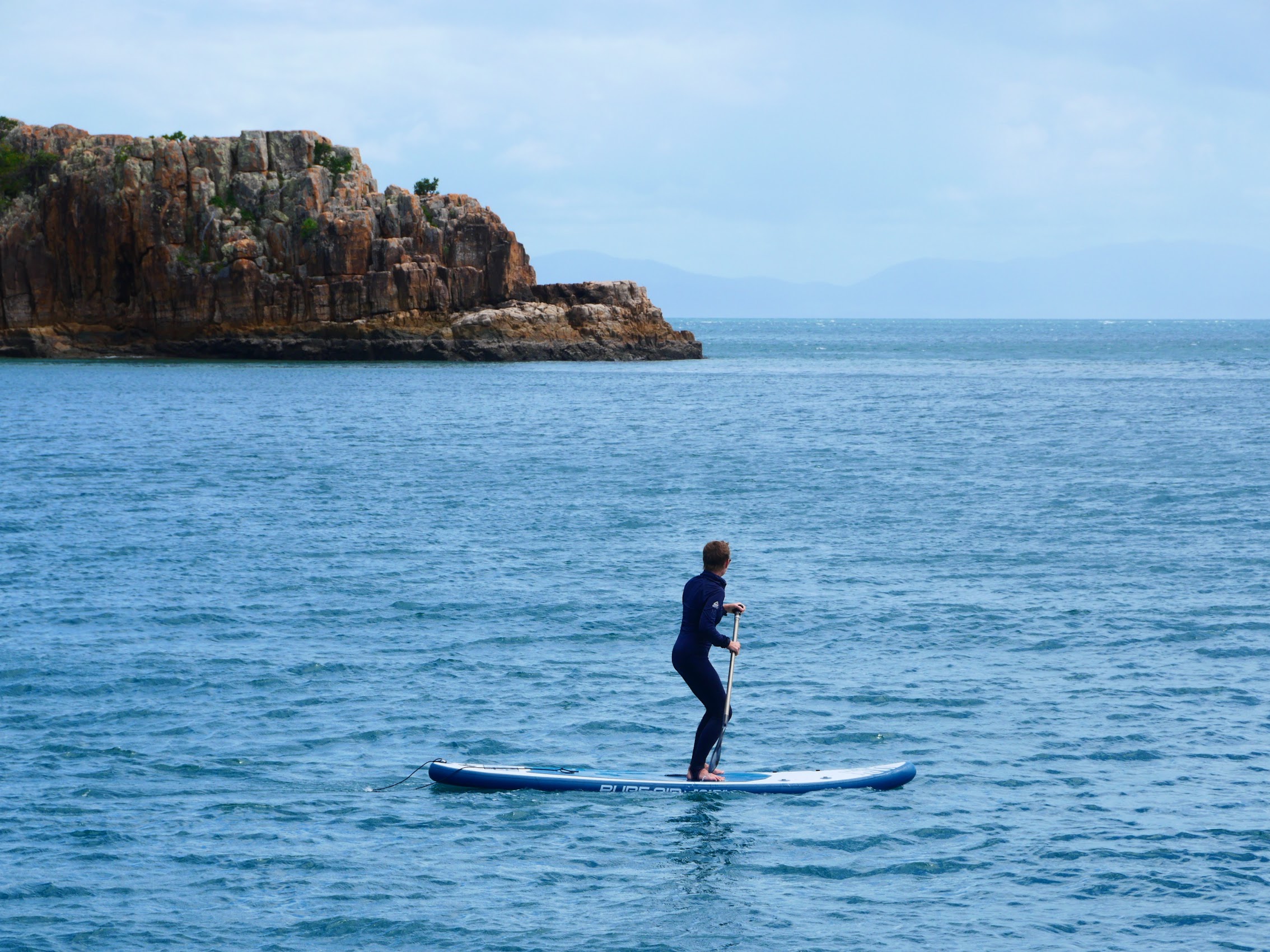
While we woke to sunshine the next morning, we could see rain showers in the distance as we sailed around Hook Island to our next destination, a small secluded beach near the tip of Hayman Island where we donned our stinger suits again, this time for some stand-up paddle boarding, with Colleen showing us all how it is done!


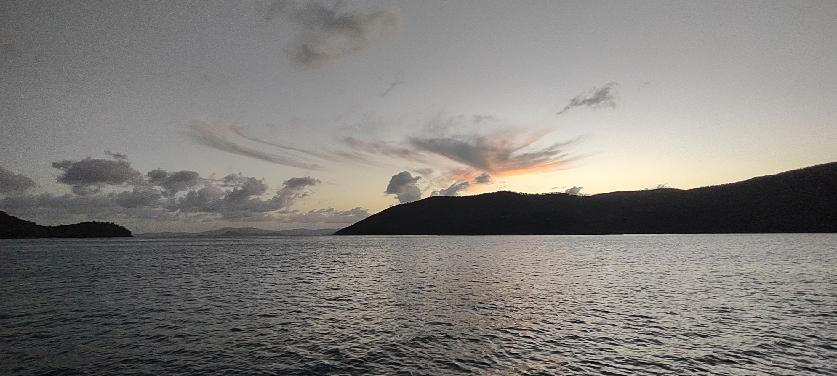
After lunch, with rain showers again passing in the distance, we headed to another unique and interesting place called Langford Island, a small hump of rock with a long sand “tail” which shrinks and grows with the tides. (The “tail” is sand which has accumulated on the windward side of the very large Langford-Bird Reef, which the island adjoins.) Not long after the skiff dropped us off to explore the island, our luck with the weather ran out as one of those passing rainstorms finally found us. While we all got pretty well soaked, it was warm enough that it wasn’t uncomfortable and the rainbows which the downpour brought with it made it completely worth the drenching.
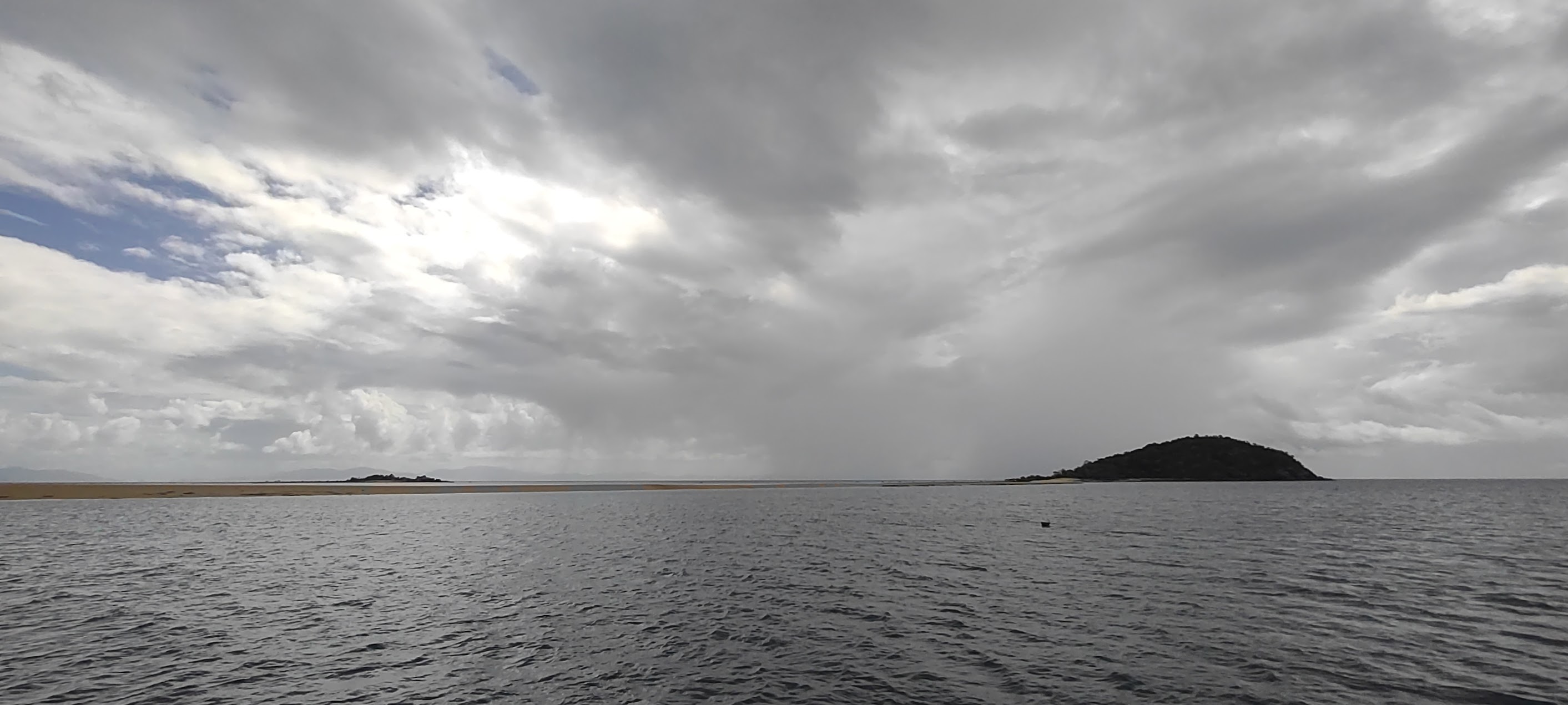

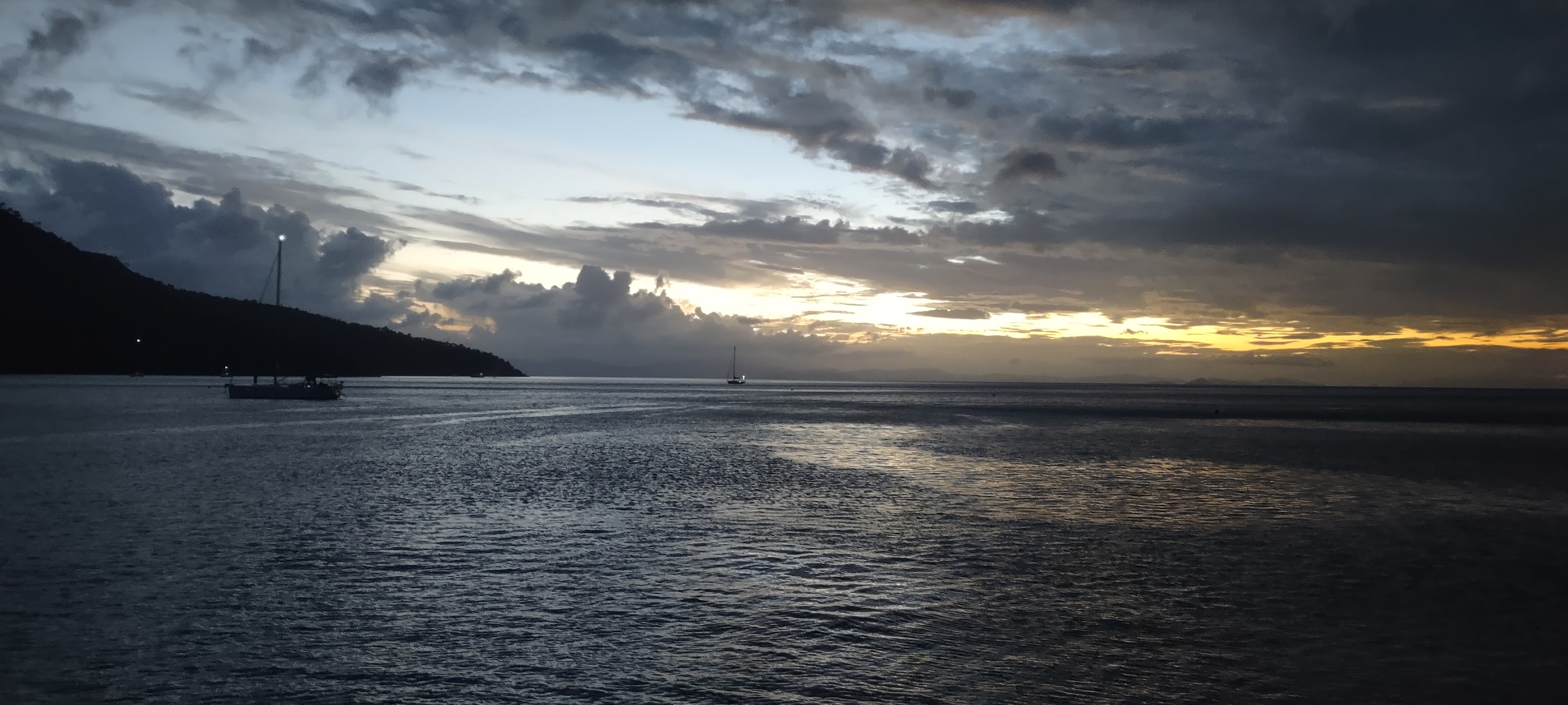
After another pretty great day, we sailed on to our next anchorage as rain showers continued to pass in the distance and the sun began to descend toward the horizon. We spent a quiet night on Stonehaven Bay on the west side of Hook Island (which seemed to be a popular spot). I woke up in the middle of the night to clear skies and the milky way peeping through our top hatch. I took my pillow up on deck and found a comfortable spot to enjoy the star show, thanks to the nearly complete darkness we found ourselves in. (Sorry, no photos this time.)
A Long Day of Travel
Our sail back to Airlie beach the next morning was pleasant (mostly sunny and no rain) but also a little sad, as after a couple of pretty intense days together, we and our new friends would be going our separate ways. Our sail back to Airlie Beach was just the first leg it what promised to be a long and very tightly scheduled day of travel which, I think, was probably the first big test of our ability to work together through the sometimes challenging and stressful demands of getting from one place to another in a foreign place.

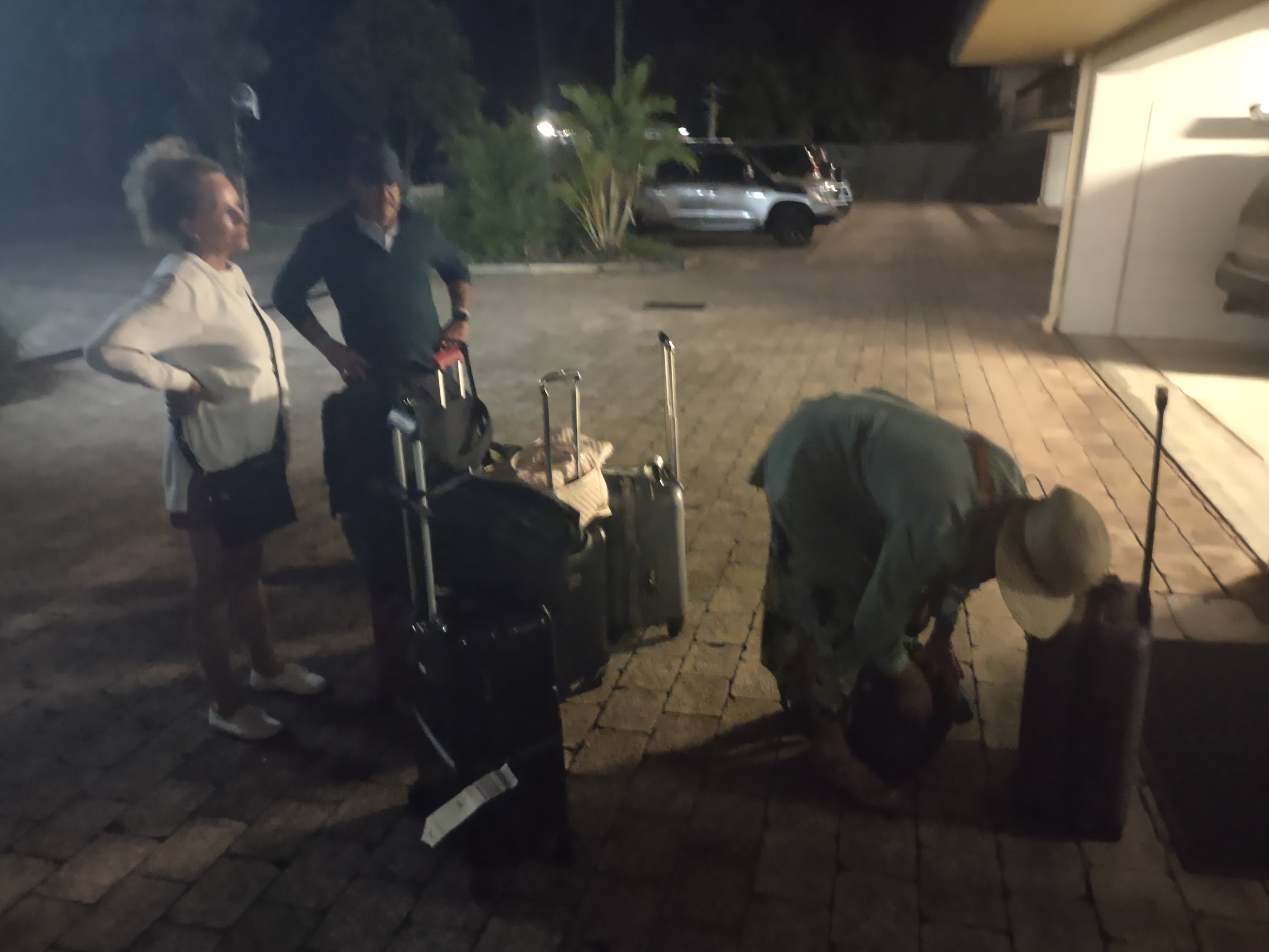
Upon our return to Airlie Beach, we went back to the booking office to retrieve, reconsolidate, and repack our luggage. While we had managed to consume most of the beverages we had taken on to the boat with us, there were some leftovers which, combined with our full ensemble of luggage, left us looking a bit like one of those mule trains from the old American west as we schlepped (really no other word for it!) through the streets of Airlie Beach.

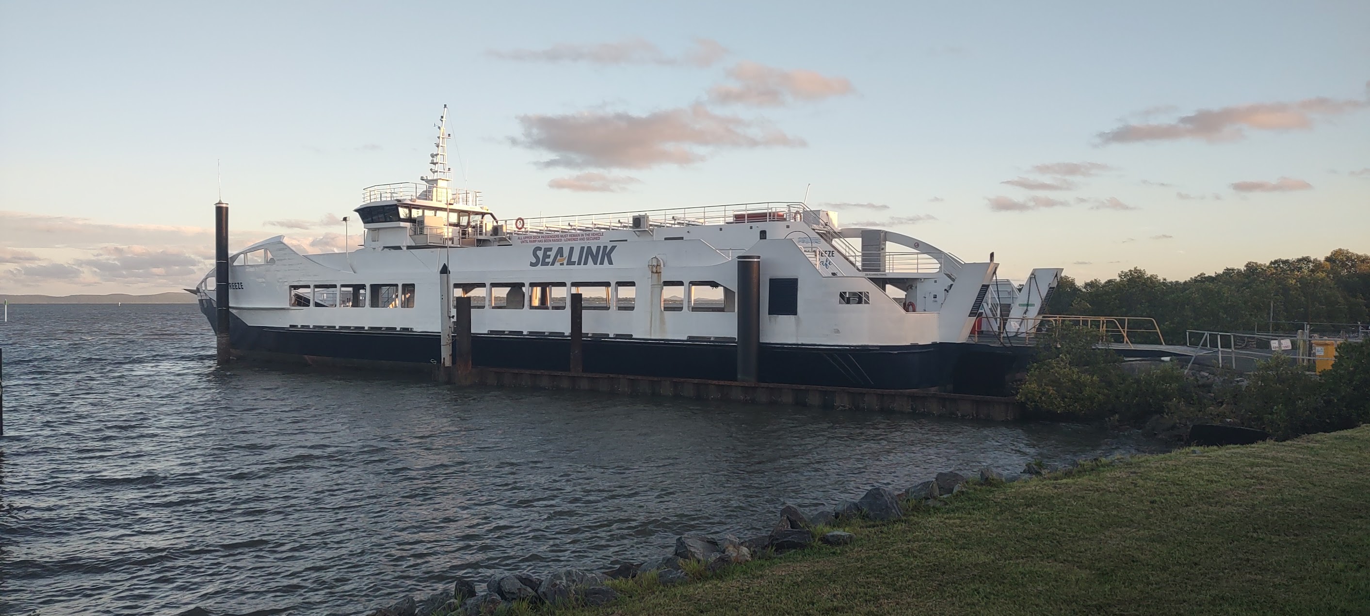
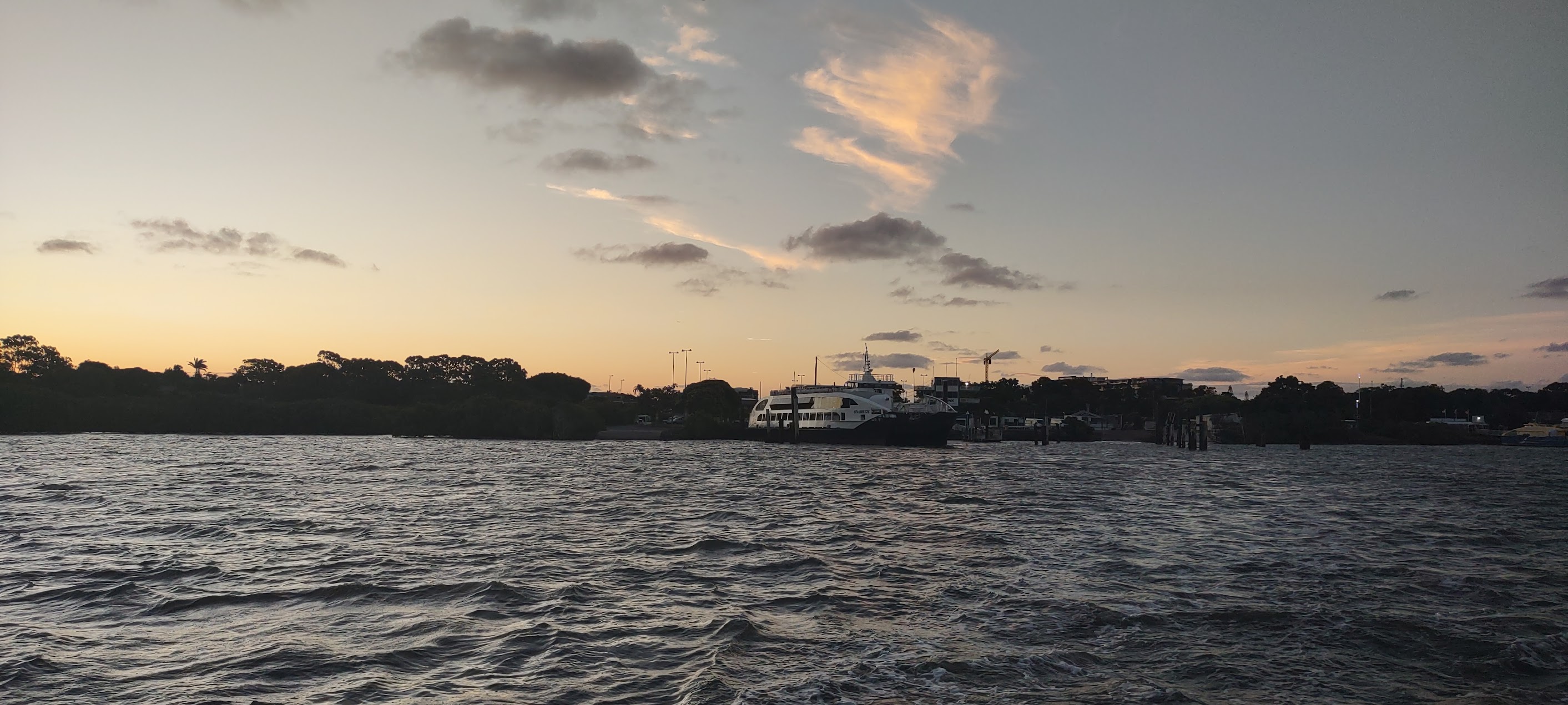
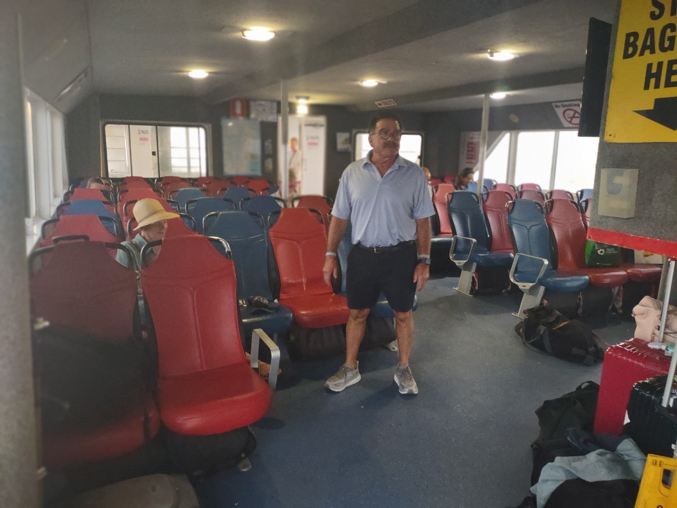
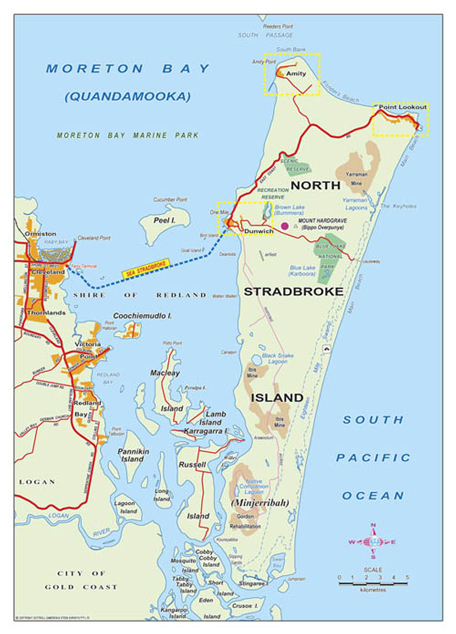
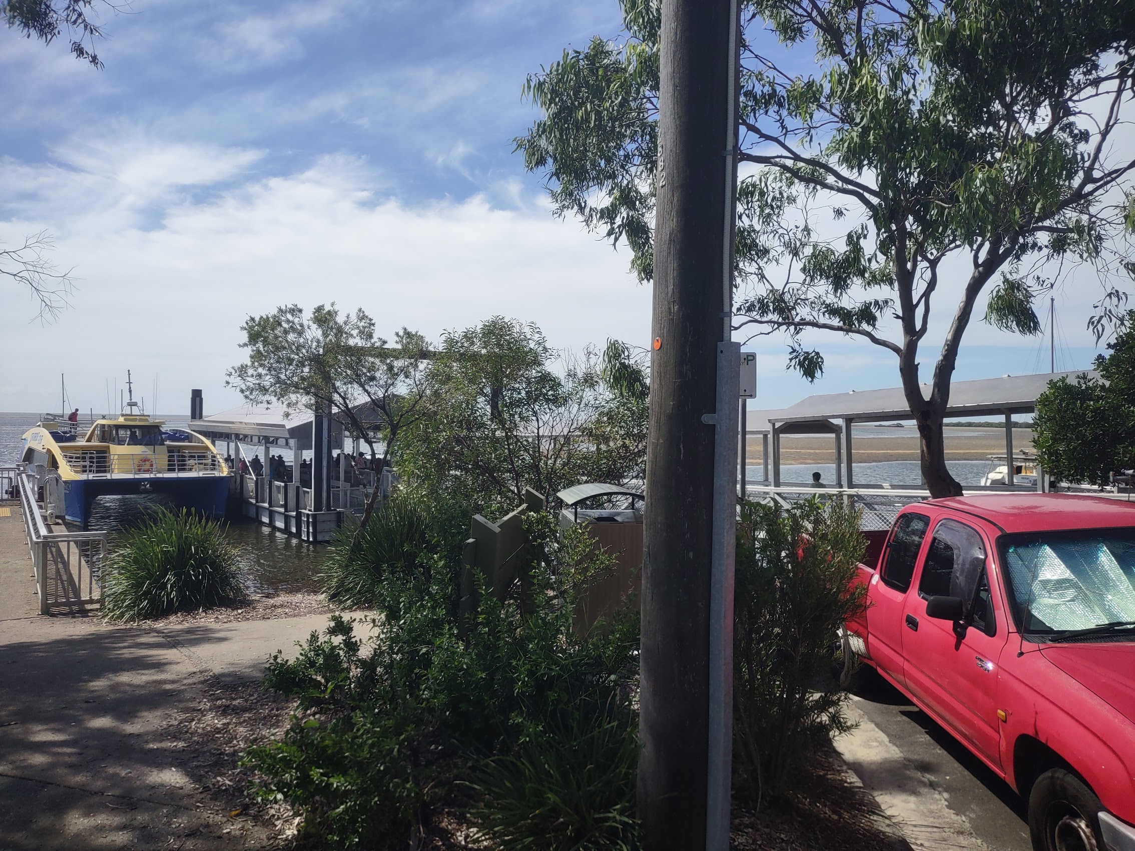
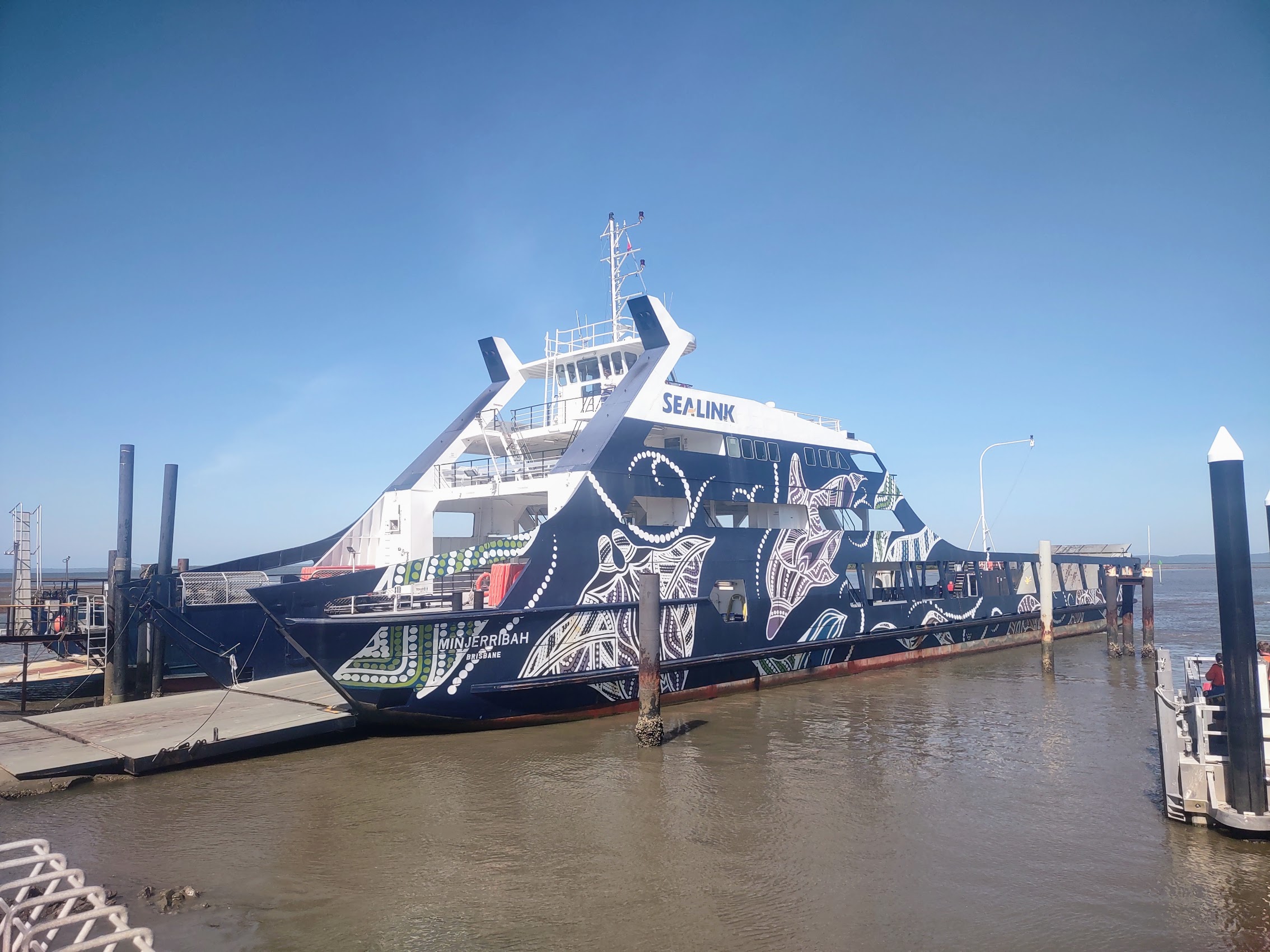
Happily, we had arrived in port early enough to have a fairly leisurely lunch before taking a 20-minute shuttle to nearby Prosperine Airport. From Prosperine we took a 1-1/2 hour flight to Brisbane, the capital of Queensland, then grabbed an Uber which took us 30 minutes south to the Sealink Passenger Ferry Terminal in the suburb of Cleveland where we arrived in time to catch the last ferry of the day to our next stay, Stradbroke Island. (Kudos to our trip logistician Colleen for working all of this out!)
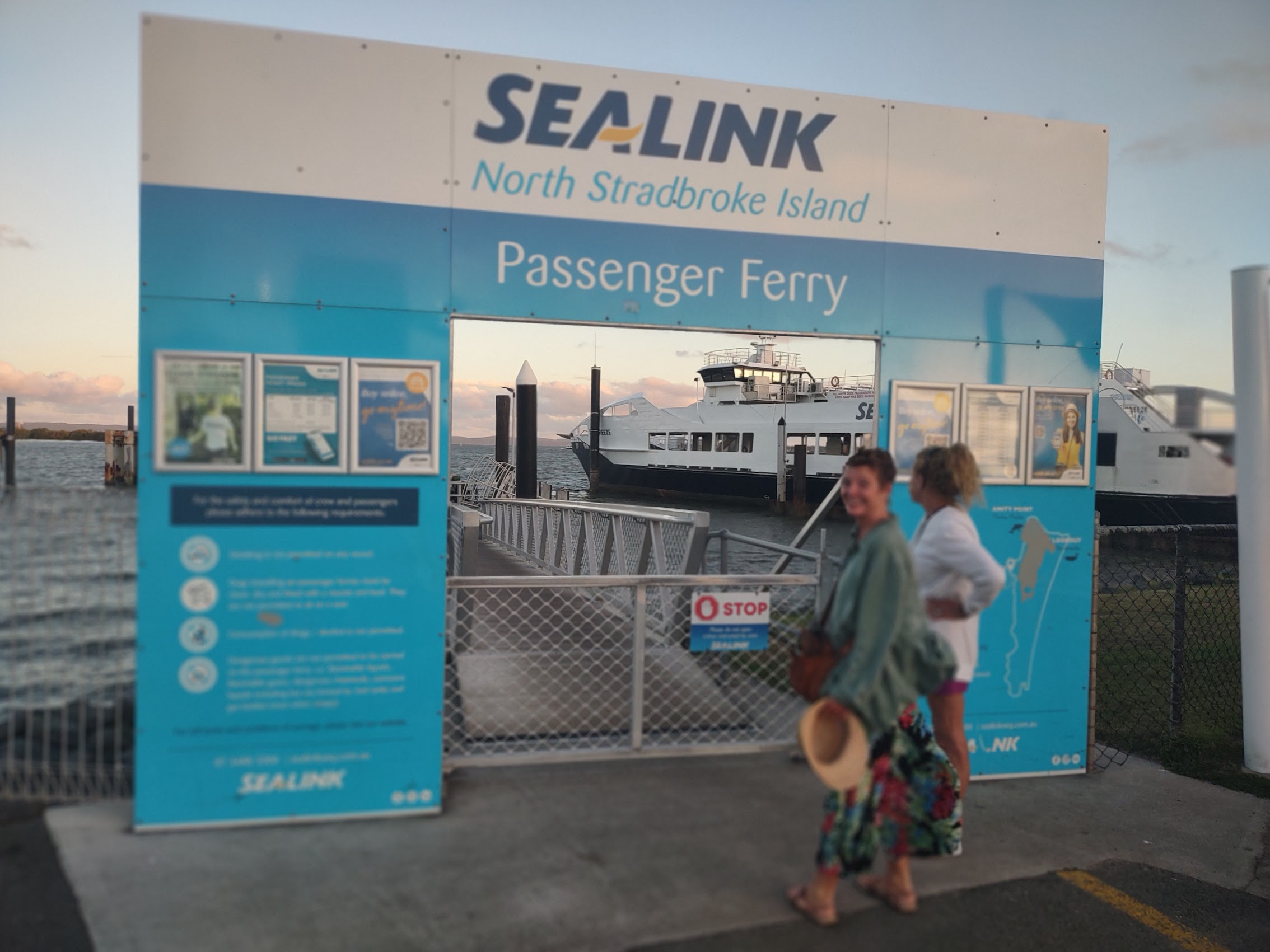
North Stradbroke Island
North Stradbroke Island which (perhaps predictably) locals affectionately refer to as “Straddie”, is located across Moreton Bay, about 15 kilometers east of Brisbane. At about 100 square miles in area, North Stradbroke is the second largest sand island in the world. (The largest is Frazer Island, just to the north of Brisbane, which we had also considered as a destination.) The Quandamooka people, who have lived there for over 21,000 years, are the traditional owners of North Stradbroke Island which they know as Minjerribah.
Since its settlement by Europeans in the late 1800’s, sand mining has been the primary industry on North Stradbroke Island though tourism has started to become an important part of the local economy as well. The island only has a population of about 2,200 people of which, interestingly, over 25% are identified as First Nations people (though we never met any). Most of the white people on the island live in three small villages on the northern end of the island – Dunwich, Amity (yes, like in Jaws), and Point Lookout where we would be staying.
The sun was setting as our ferry crossed Moreton Bay and it was dark by the time we arrived in Dunwich from which we needed to catch a local bus to our hotel. This was definitely the sketchiest part of our day’s travels as we weren’t really able to tie down the local bus schedule, but we discovered (predictably in hindsight) that the local bus schedule is coordinated with the ferry schedules and so there was a bus waiting for us when we landed. The ride to our hotel turned out to be quite interesting as our driver felt that it was part of her job to keep us entertained which she accomplished by telling us a series of bad jokes. Not to be outmatched, I left her with one of my own (not appropriate for this blog) which left her laughing hysterically as we got off the bus at our stay for the next three days, a hotel called Anchorage on Straddie in the village of Point Lookout.


The Bowls Club
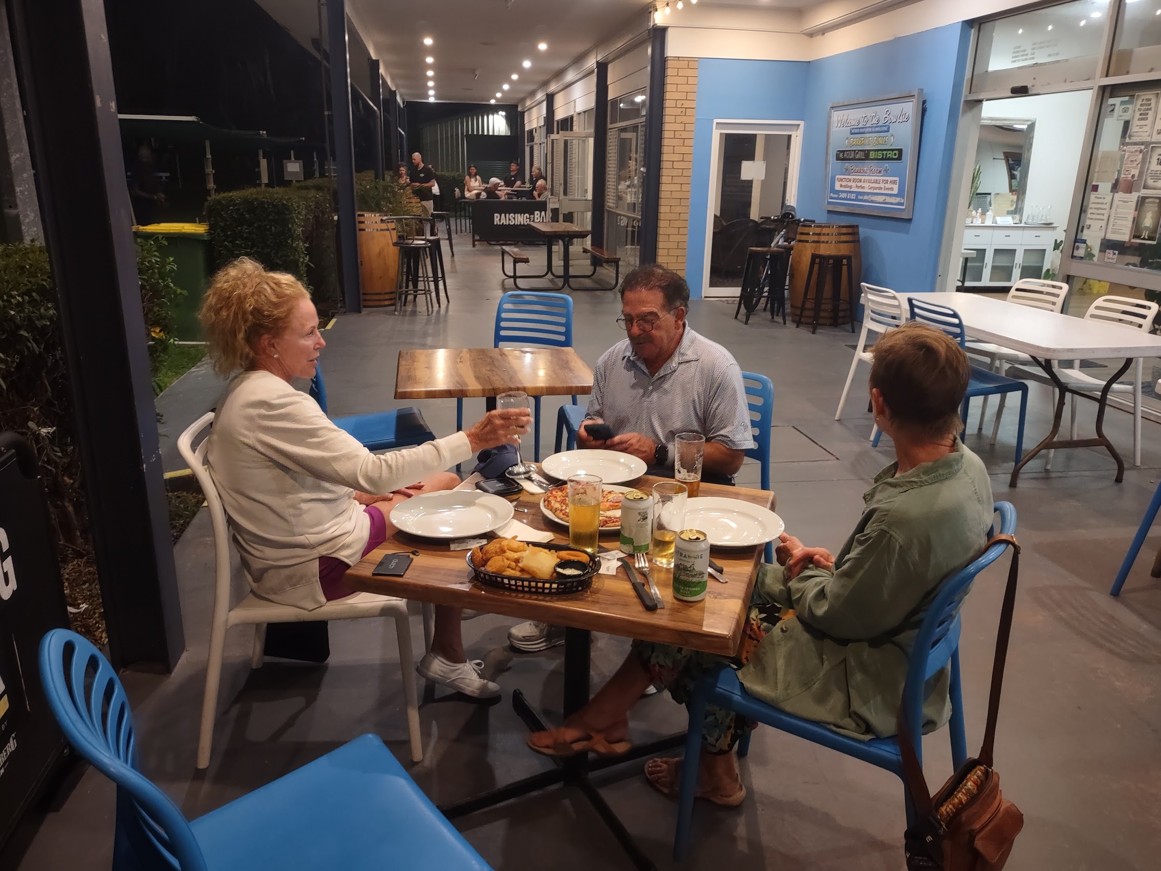
As we had arrived late, we had to call our host, Glenn, who, as it turned out, was just down the road at the monthly meeting of the local Bowls Club (we had no idea what that was at this time). Glenn arrived about 10 minutes later and, after giving us our keys and directing us to our rooms, enquired as to whether we would be needing dinner. When we said yes, he called back to the Bowls Club to ask them to keep the kitchen open for us as it was the only local restaurant open at this hour.
We quickly dropped our luggage in our rooms (more about our accommodations later), and with no further ado (knowing they were keeping the kitchen open for us) we followed Glenn’s directions and walked down Dickson Way, the main road (there only appeared to be the one), arriving about 5 minutes later at the Point Lookout Bowls Club, known locally as (yes) the “Bowlsie”.
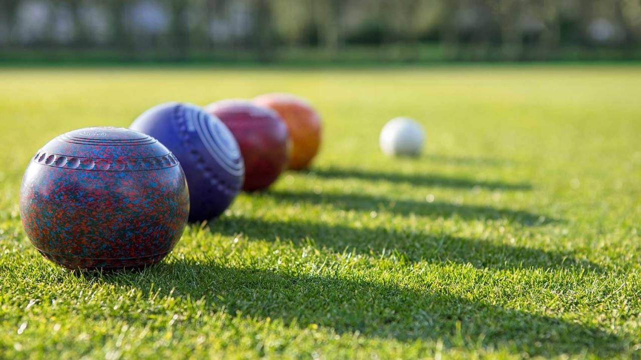
I myself was completely unaware of the sport of lawn bowls, apparently a British variation on the Italian game of bocce. Similar to bocce, participants roll balls (called “bowls”) toward a target ball (called the “jack” or “kitty”), scoring points for being closer when the bowl stops rolling. The game is played on large grass greens with individual lanes (called “rinks”) usually about 20 feet by 120 feet. The primary difference between bowels and bocce seems to be the shape of the balls. The aptly named bowls are not spherical but elliptical and, because of this, roll on a curved line. (All of this has made me strangely curious to explore the etymology of the words “ball” and “bowl” and their relationship.)
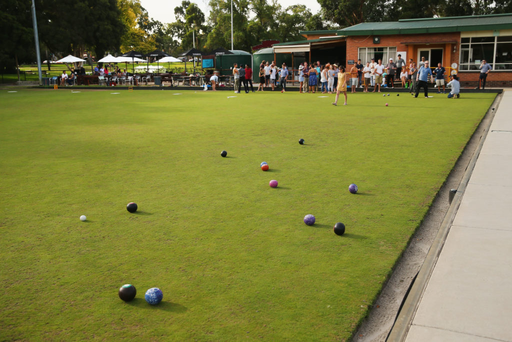
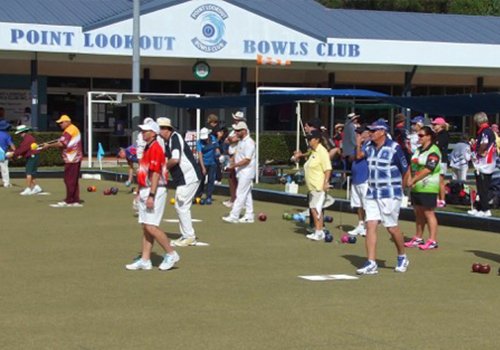
What’s probably most interesting (and important) to all this is not really the sport itself but the nature of the bowls club which is, first and foremost, a social club and that the sport (which is extremely low impact and can be played by almost anyone) is really just and excuse to get together, socialize, and have a few beers while you’re at it. And maybe best of all (at this Bowls Club at least), everyone walked home at the end of the night so one didn’t have to be too concerned with how many beers or drinks one had (Australia is one of the strictest countries I have ever visited when it comes to drinking and driving.)

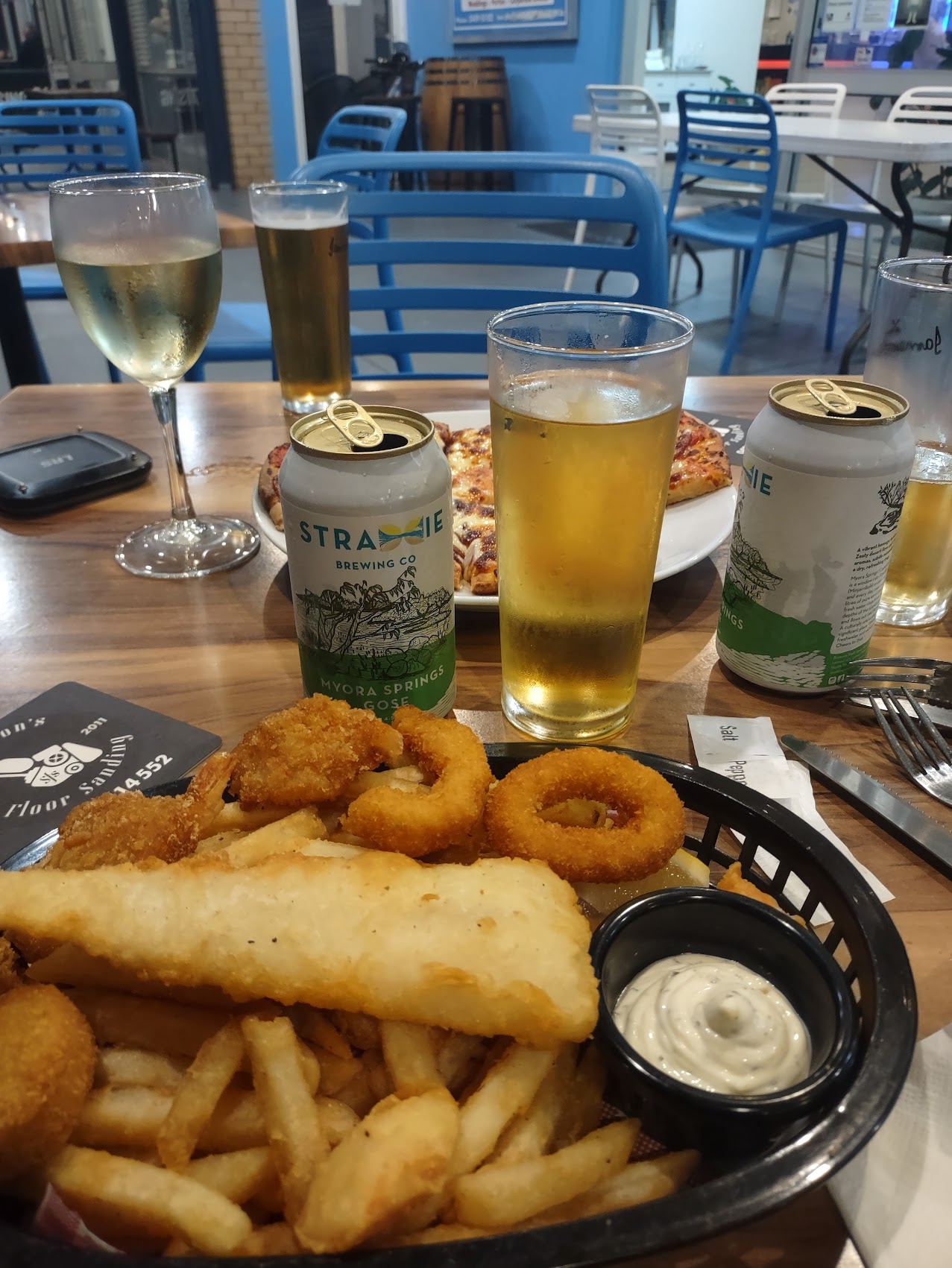
The fare at the Bowls Club wasn’t fancy, but it was good pub fare (I had the fried fisherman’s platter, others opted for pizza) and shockingly inexpensive. (Apparently one of the benefits of being a social club rather than a for-profit restaurant.) Drinks were also very reasonably priced and included a nice variety of ales from the local brewery (yes), Straddie Brewing Company, including a really nice gose beer.
There was a bit of excitement during dinner when a decent sized bird (a Bush Stone-Curlew I later learned) decided to take a soar through the restaurant (which, like most places on the island was open-air) which ended rather abruptly when it ran into the wall beside the bar. A couple of nice ladies came to its distress and tried to revive it without some success, so two staff members carried it around the corner of the restaurant, presumably to set it loose, but we decided not to order the fried chicken (just in case).
Food, drink, and that excitement aside, the people at the Bowls Club, staff and members alike, were incredibly friendly and welcoming and, by the end of our meal, we were beginning to feel a bit like locals ourselves. After sating our appetites and taking full advantage of the fact that we too were walking home, we grabbed a few to-go beers and headed back to our hotel looking forward to a good night’s sleep in real beds; a really nice finish to a long day of travel.
Anchorage on Straddie
Finding acceptable accommodations on North Stradbroke Island proved to be a bit challenging, not so much for lack of choices as for lack of choices within our budget. So we were a bit surprised to come across the Anchorage on Straddie where (thanks in part to our Booking.com Genius Level 3 status) we were able to book what appeared to be a very nice queen studio for what seemed like an unbelievable $83 a night. (Our least expensive stay through our entire travels in Australia!) Best of all and unlike any of the other “affordable” places we looked at on the island, Anchorage on Straddie was beachfront so, without too much further scrutiny we booked it.

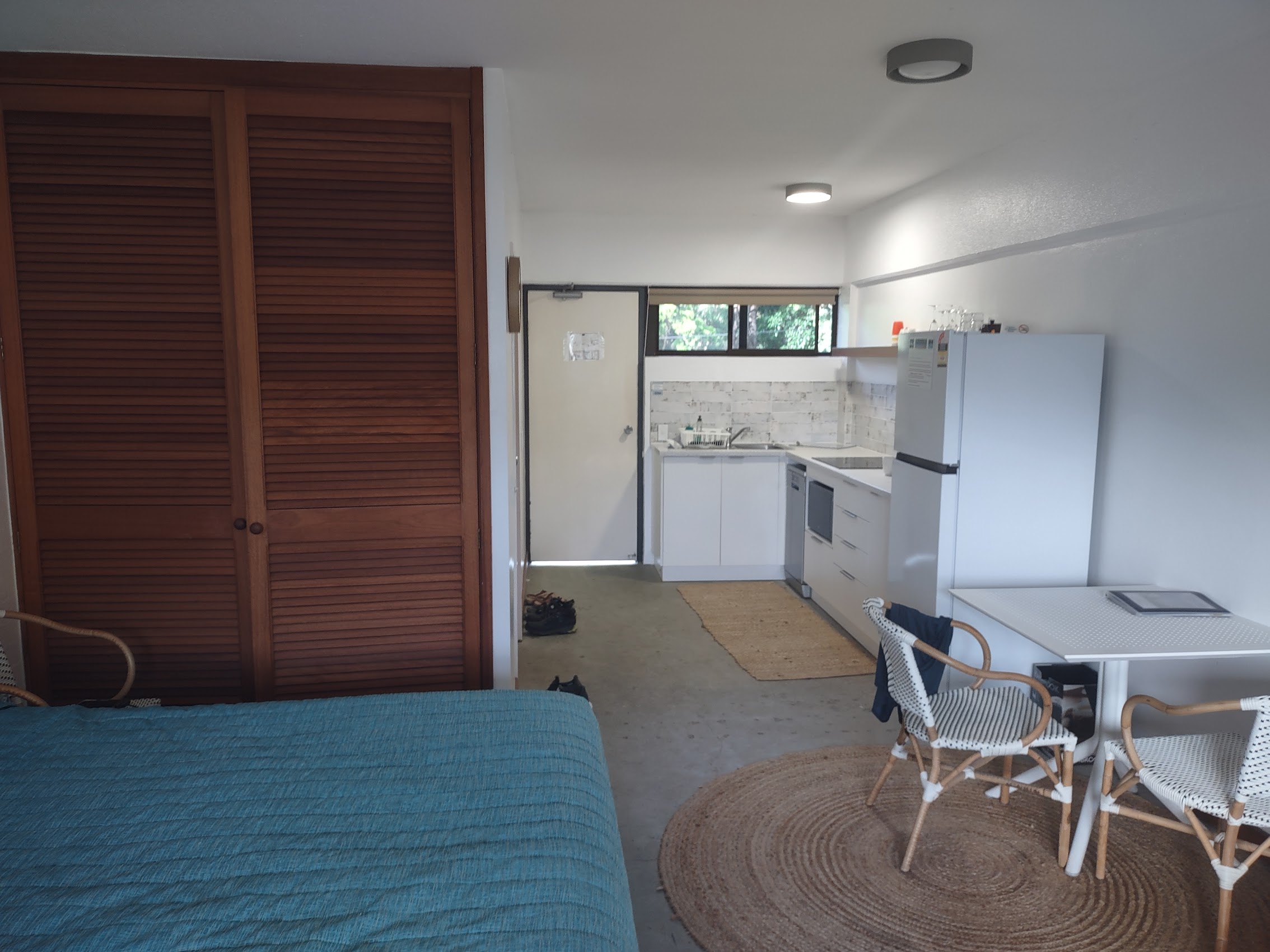
Though it billed itself as a resort, Anchorage on Straddie was really more of a hotel (with no restaurant or bar), though it did have a nice pool and pool deck. Our rooms were plain and simple (utilitarian?), but clean and, if not spacious, decently sized. In addition to a good bed and private toilet, each room had a decent size seating area, a small dining area, a small kitchen with a full-size fridge, and a private balcony which was large enough to both hang out and hang laundry.
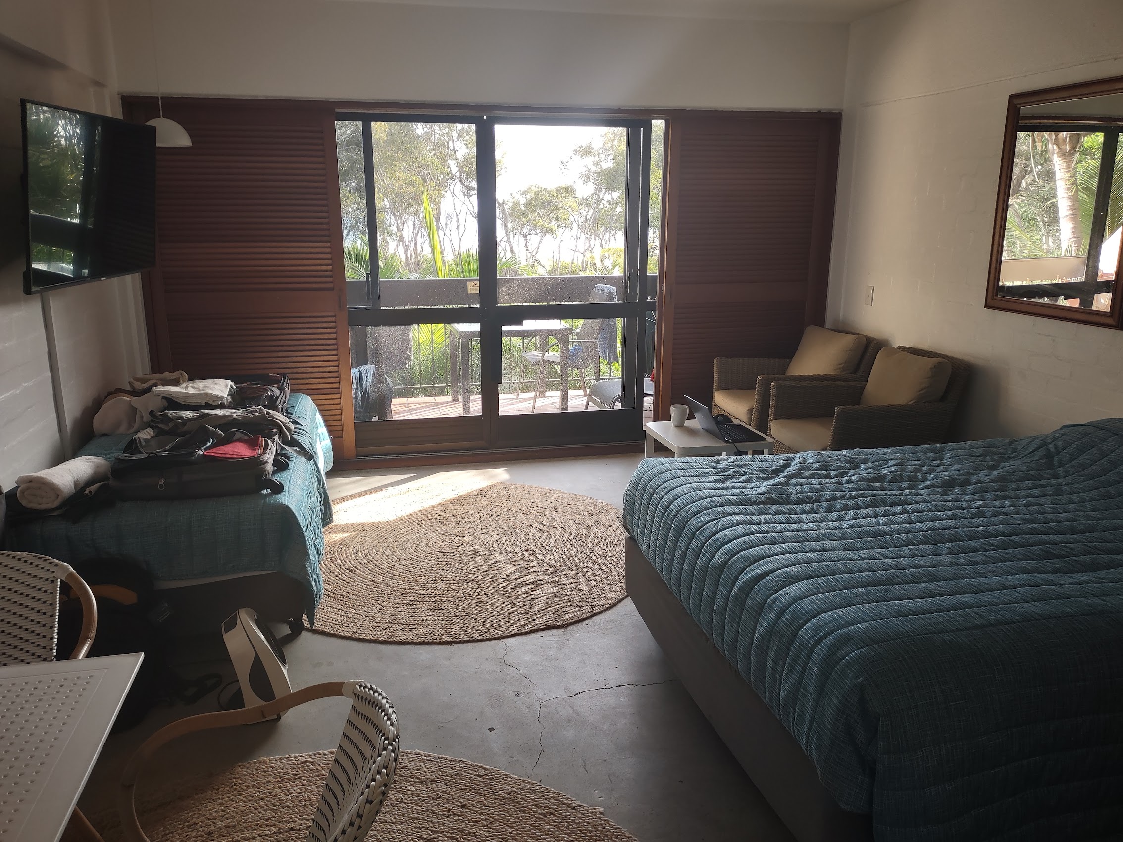
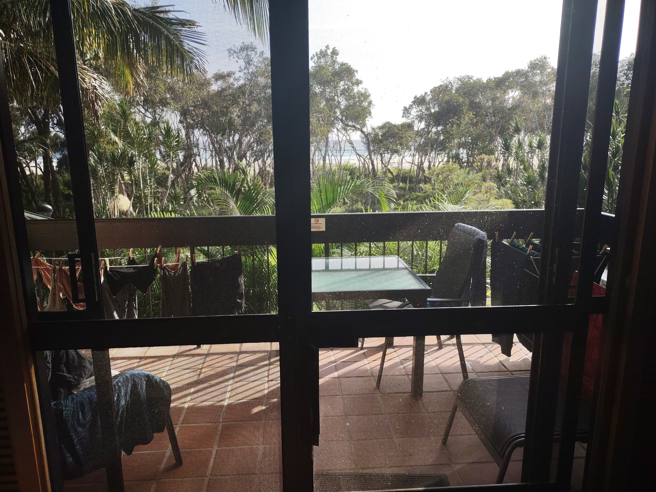
But again, what really made the place was its location, perched just behind a small backwater creek and a swathe of trees with views from both the room and balcony of Cylinder Beach and the Pacific Ocean beyond.
Cylinder Beach
From the pool deck below our rooms there was a boardwalk which crossed the backwater creek and passed through the a patch of gum trees to Cylinder Beach, a beautiful wide flat swath of sand which stretched off in both directions. We quickly discovered that the simple portal at the end of the boardwalk served an important purpose as it would have been nearly impossible to find our way back to Anchorage on Straddie from the beach without it!


Being on the northeast coast of the island, sunrise was the most beautiful time on the beach and it was well suited for the morning walks which were Wendy’s habit and on which we were more than happy to join her. Our stretch of Cylinder Beach toward its western end (sometimes referred to as Home Beach) was generally pretty deserted as most people trended toward the eastern end of the beach where there was a surf spot with a temporary life-saving station and some backwater pools .


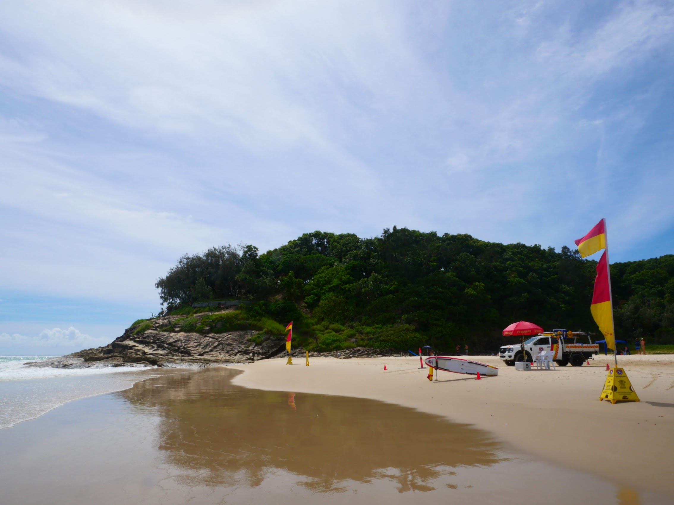
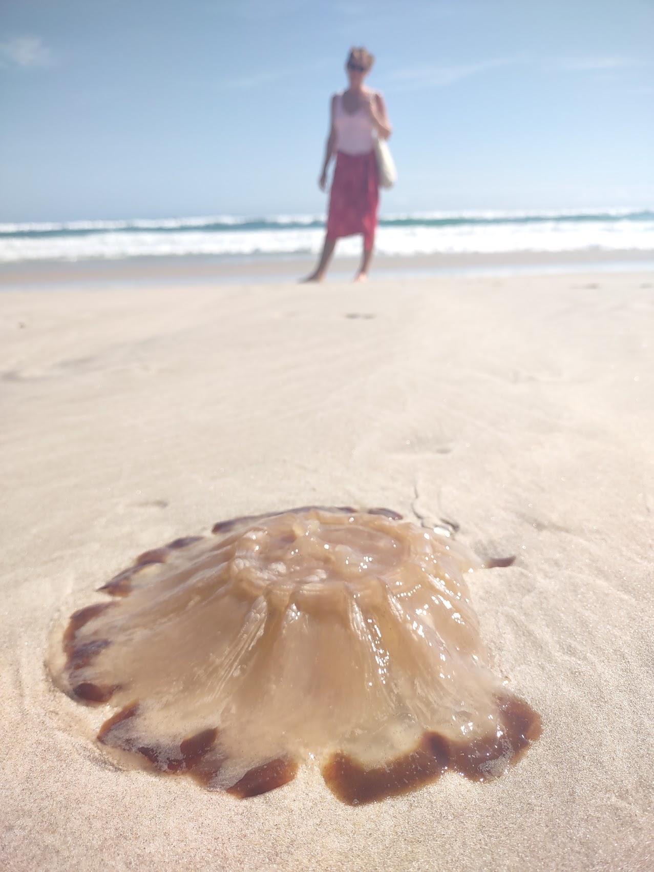
Unfortunately, it was still stinger season and we saw more than a few very large specimens of something called a Lion’s Mane Jellyfish washed up on the beach. No longer having our stinger suits, we had to content ourselves with mostly looking at the ocean. We did discover some tidal pools behind the surf spot at the eastern end of Cylinder Beach which appeared to be a popular swimming hole, but even these seemed a bit sketchy so we did most of our dipping and all of our swimming at the hotel’s pool.
The Gorge Walk
Our plan for our first full day on North Straddie was to check out an iconic trail we had heard about called the Gorge Walk which was supposed to offer some of the best views on the island. We also wanted to explore the eastern end of Point Lookout which (from Google Maps) looked to be more developed having a number of restaurants and shops, including what looked to be a legitimate grocery store where we hoped to pick up some provisions.
After dropping our empty water bottles at the Bowls Club, we stopped at a place called Straddie Eats, a small but nice open-air cafe located just beyond the Bowls Club, which we discovered had a great breakfast menu and which (pretty much by default) became our regular breakfast stop.
Over breakfast Wendy informed us that based on some research she had done (as well as some street signs we had seen) North Stradbroke Island appeared to be home to a good number of Koalas who hung out among the eucalyptus trees which were fairly prolific on the island. Wendy also informed us that she had heard that Koalas sometimes get drunk on eucalyptus leaves and fall from the tree, making them much easier to spot. We were quite interested to hear this as this was the first time we found ourselves anywhere (other than the zoo) where there were apparently Koalas in the wild, and by the time breakfast was done it had become our mission to help Wendy spot one.


The next kilometer of our walk took us past a reserve area along the beach with lots of eucalyptus trees but try as we might (and to Wendy’s great disappointment) we were unsuccessful in spotting any Koalas. Perhaps on another day? (We subsequently learned that North Stradbroke Island is in fact home to one of the only naturally occurring island populations of Koala (though we never saw one), but that bit about them getting drunk and falling out of trees appears to be a popular myth.)
As we continued past the reserve, the main road began to climb as we approached the headland upon which Point Lookout sits and we found a path which took us down to the next beach along the headland, with the somewhat ominous name of Deadman’s Beach. Though one’s first thought is probably of pirates, the beach got its name from a skeleton and boat which were uncovered in the sand in 1956 which were believed to either the captain or first mate of the Prosperity, a ship carrying sugar mining machinery which sank in the Coral Sea of Point Lookout in 1902. Despite its name, Deadman’s Beach was a beautiful little beach and we got our first glimpses of the Point Lookout headland beyond.
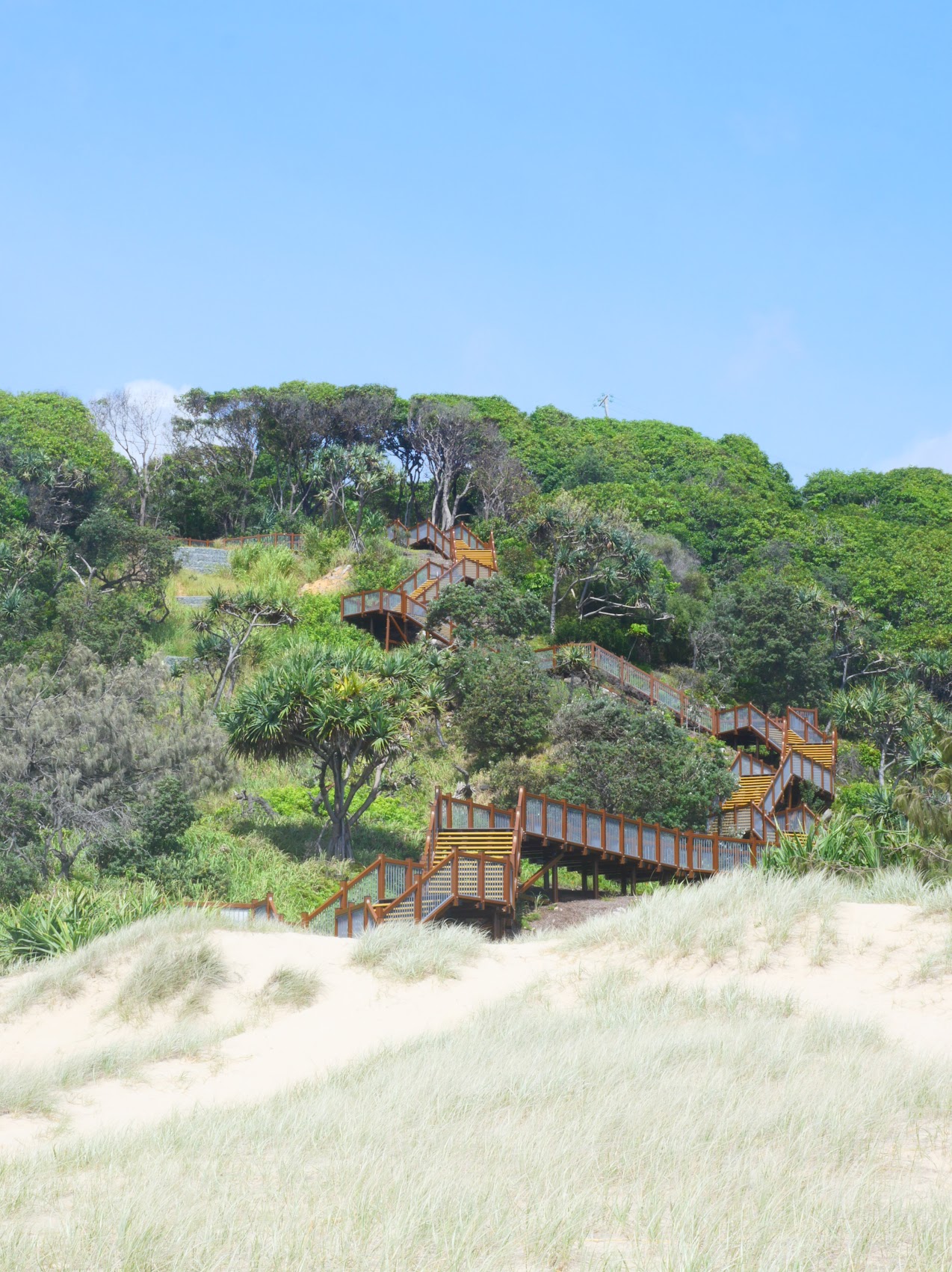
From Deadman’s Beach, we made our way around the first large outcropping of the headland to Frenchman’s Beach, another beautiful stretch of sand at the end of which we found a series of stairs and boardwalks (actually a pretty impressive bit of engineering) which took us to the top of the headlands. From there a relatively new walkway led us along the edge of the headland, with wonderful views back down to Frenchman’s Beach before delivering us to the entrance to the Gorge Walk.
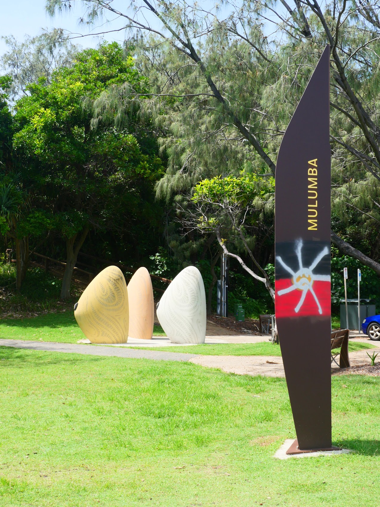
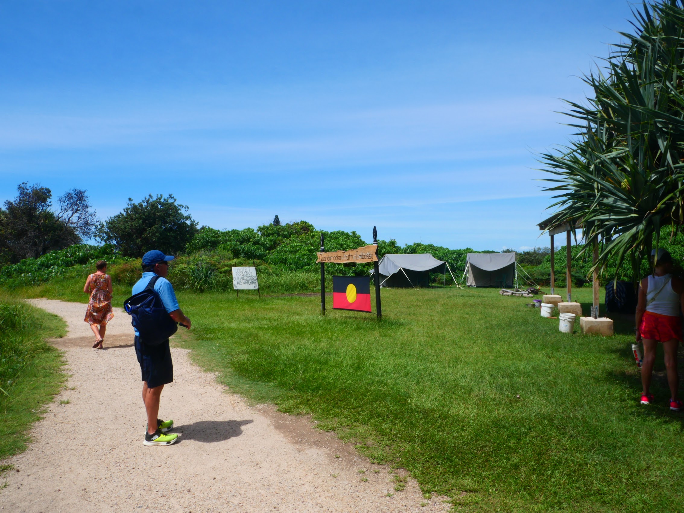
Just past the start of the Gorge Walk, we came across what appeared to be a temporary encampment displaying a large Aboriginal flag and identified as the Quandmooka Truth Embassy. We learned that the Quandamooka Truth Embassy is a movement started by the elders of the Quandamooka First Nations people in 2018 which has (to date) successfully stopped the development of a whale watching interpretive center on the headland which the Quandamooka people believe to be sacred ground. The encampment we came across, though unoccupied at the time, appeared to be part of this effort, intended to maintain a physical presence on the land in question.
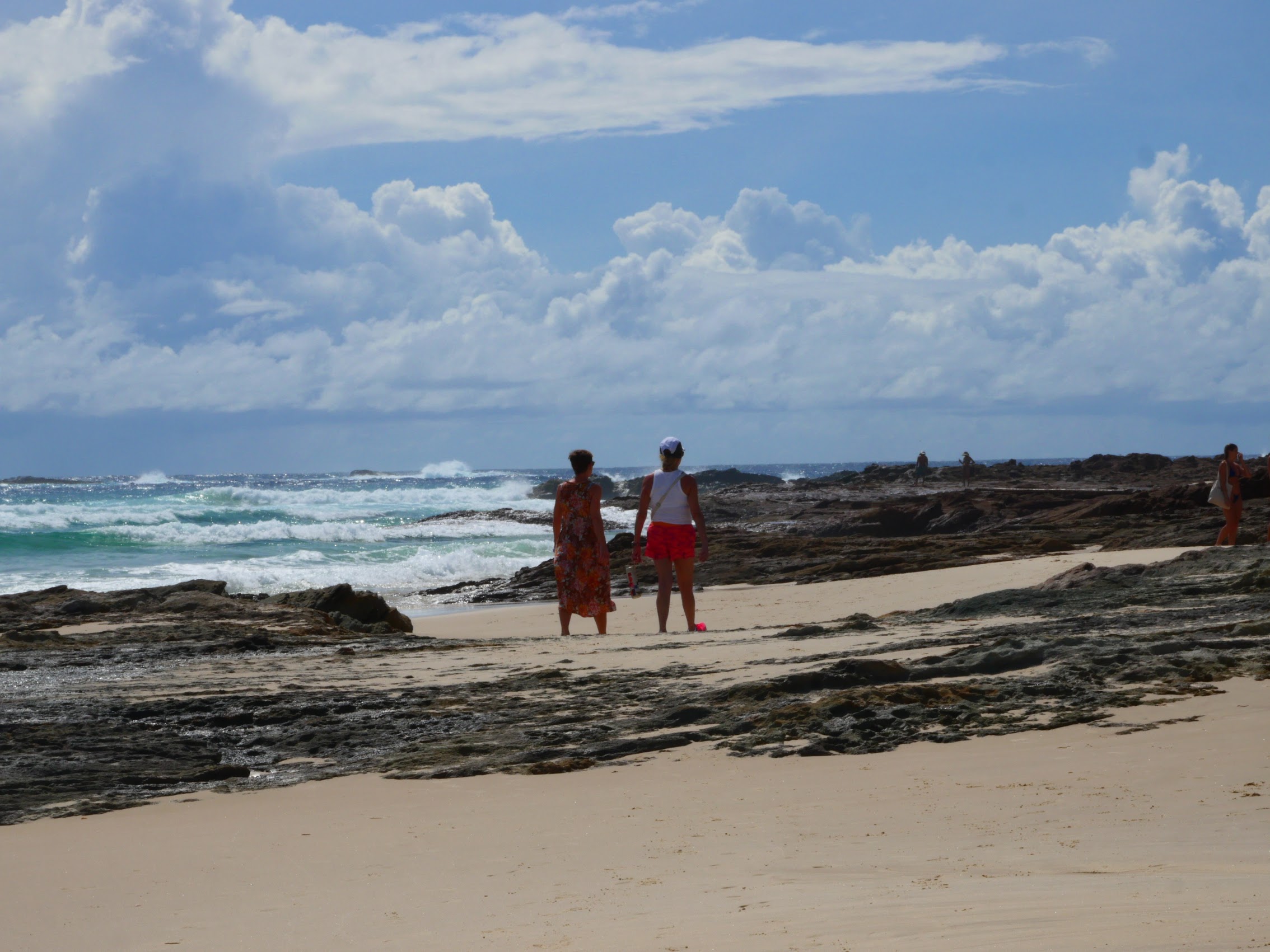
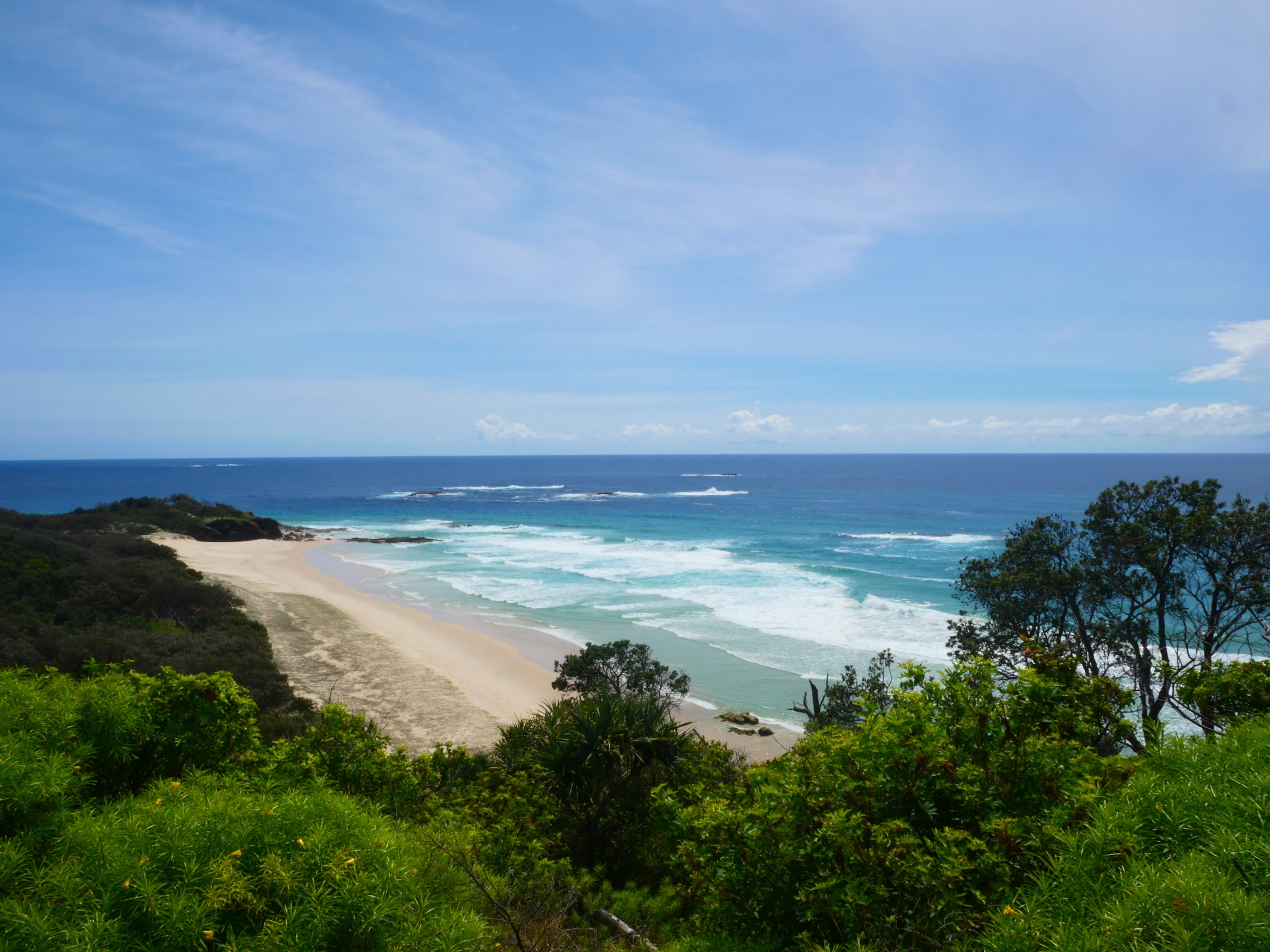
The Gorge Walk winds around a rocky peninsula on the southeast edge of Point Lookout which is the easternmost point in Queensland. It’s most interesting and unique feature is the North Gorge, a channel which rises from the ocean splitting the peninsula in two with massive waves breaking on the rocky cliffs and churning up the gorge. At a couple of points, one could venture off the path and down onto the rocks which (although it made Colleen more than a little nervous) afforded an incredible experience with the sight and sound (and feeling!) of the waves crashing into the rocks below.
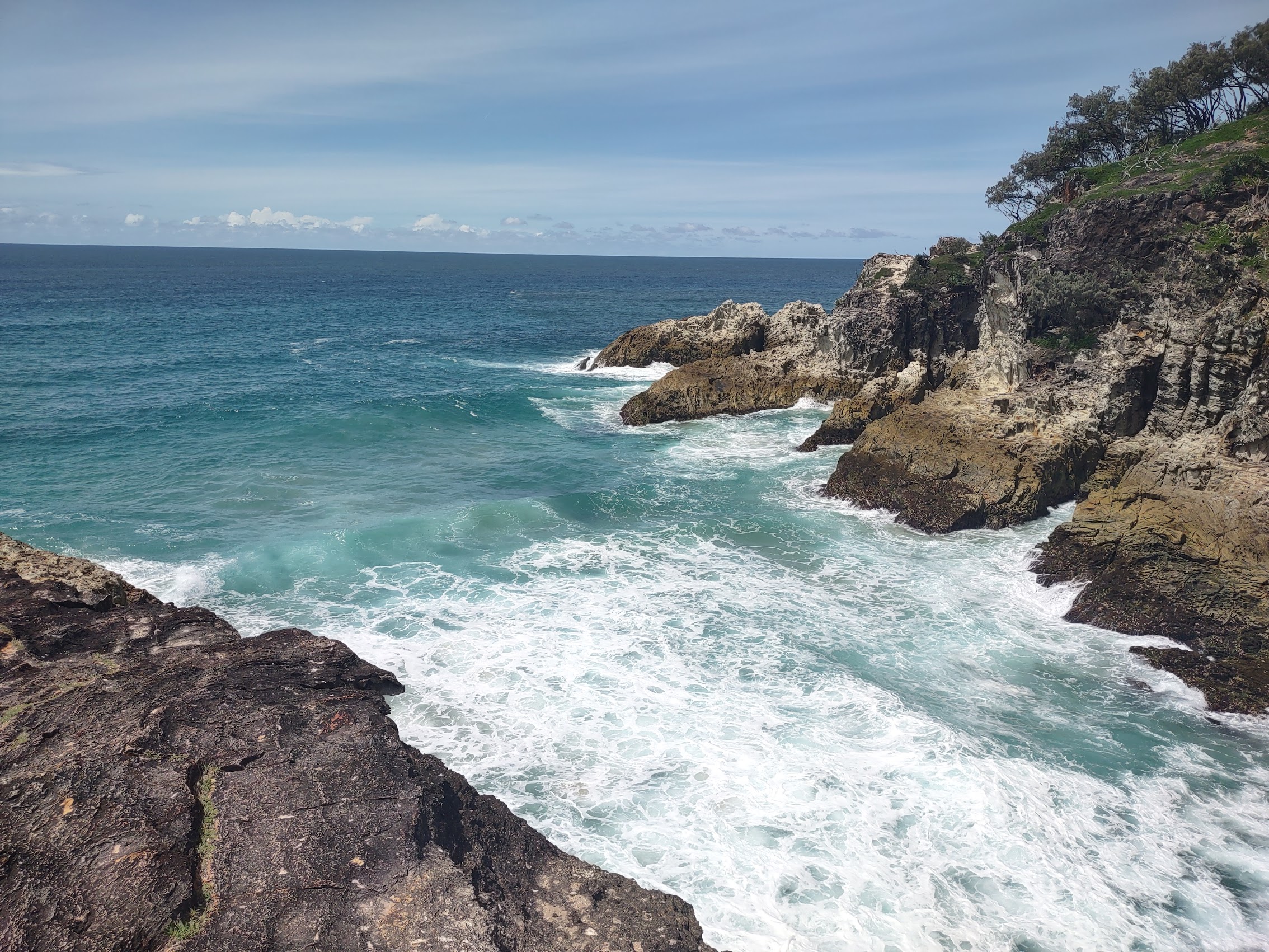
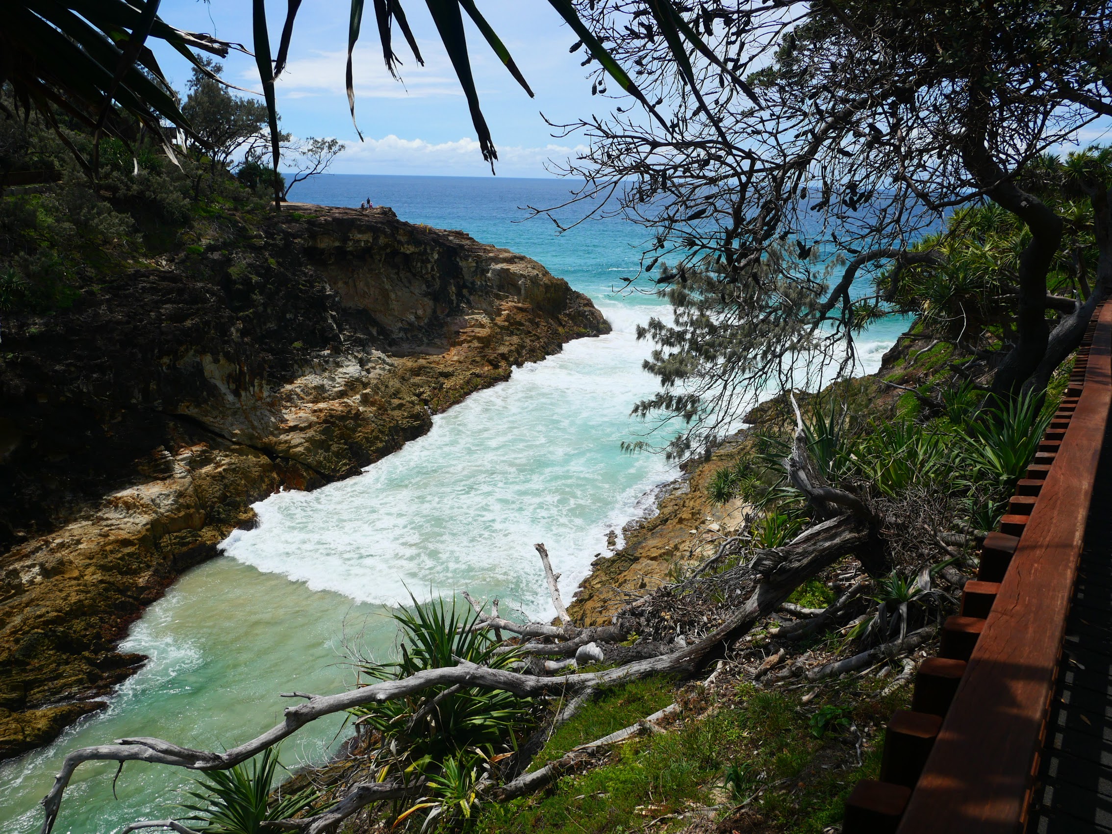
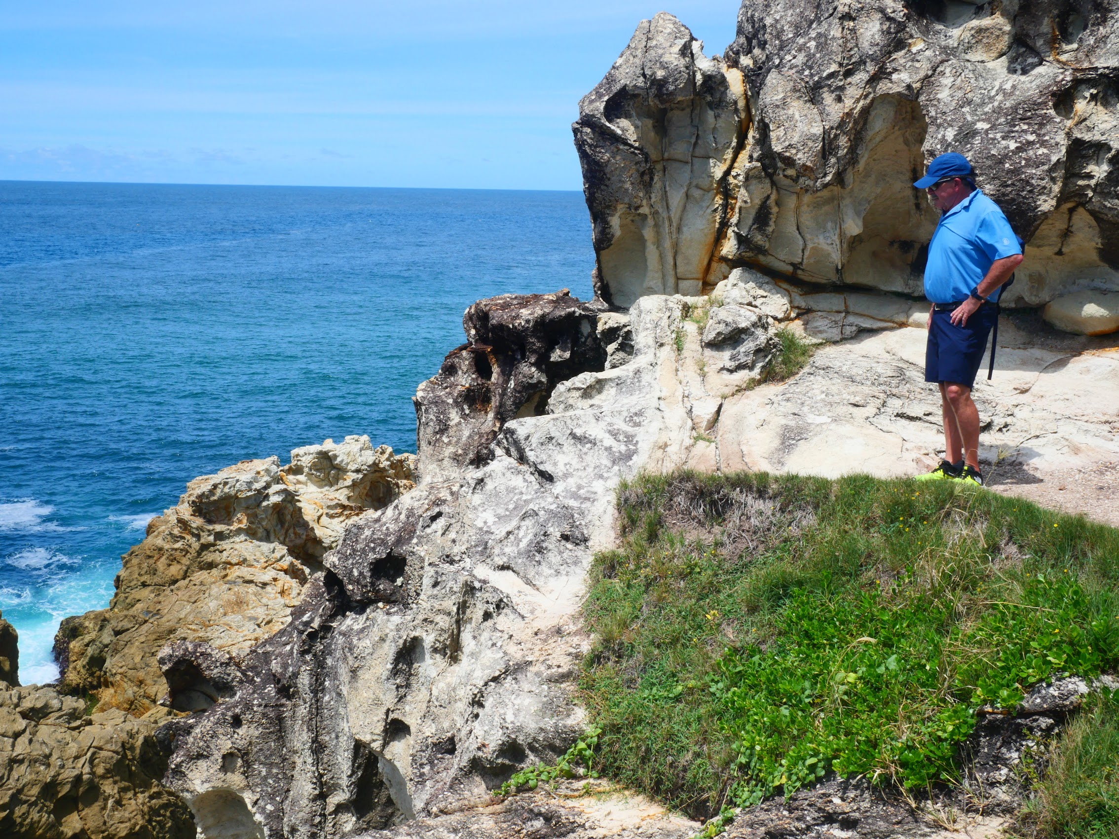

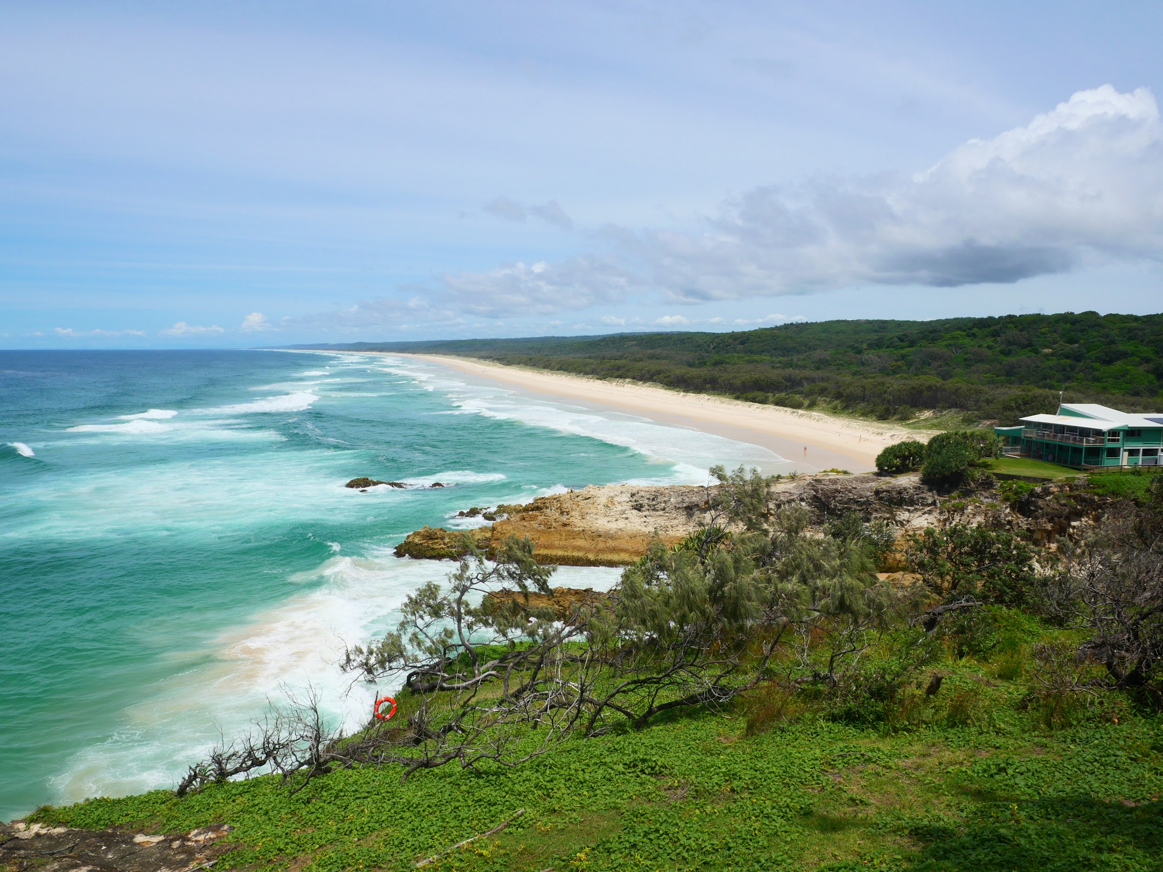
On the southern side of the Gorge Walk we were able to look down the eastern coast of the island with Main Beach (which is over 20 miles long) stretching off toward the horizon. Though not long (only about 1.2 kilometres), the Gorge Walk provided us with some of the most intense sensory experiences we have had and we found ourselves stopping frequently (there were a lot of benches along the way) just to take in the incredible views.
Point Lookout
The Village of Point Lookout is situated on the headlands at the far northeast tip of North Stradbroke Island which rise almost 300 feet above sea level. The name Point Lookout was disposed upon this tip of the island by (can you guess?) the one and the same Captain Cook who had also named our last couple of stays on his trip up the Queensland Coast in 1770.
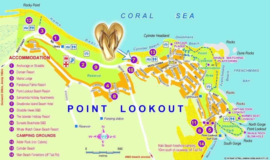
From the Gorge Walk, we made our way into what, for all intents and purposes, was the center of Point Lookout which we quickly realized (with a population of less than 800) really was more of a village than a town or a city. It consisted of a variety of buildings of different sizes, styles, and vintages, their somewhat haphazard arrangement driven largely by the topography, with newer condos and apartment buildings here and there along the coast side of the main road and mostly single-family residences climbing up the hill on the island side with a number of large modern vacation homes at the top and plenty of parks, jungle, and wooded land between. There was no town center to speak of but, rather, shops and restaurants were scattered amongst the residential structures, mostly near the main road.
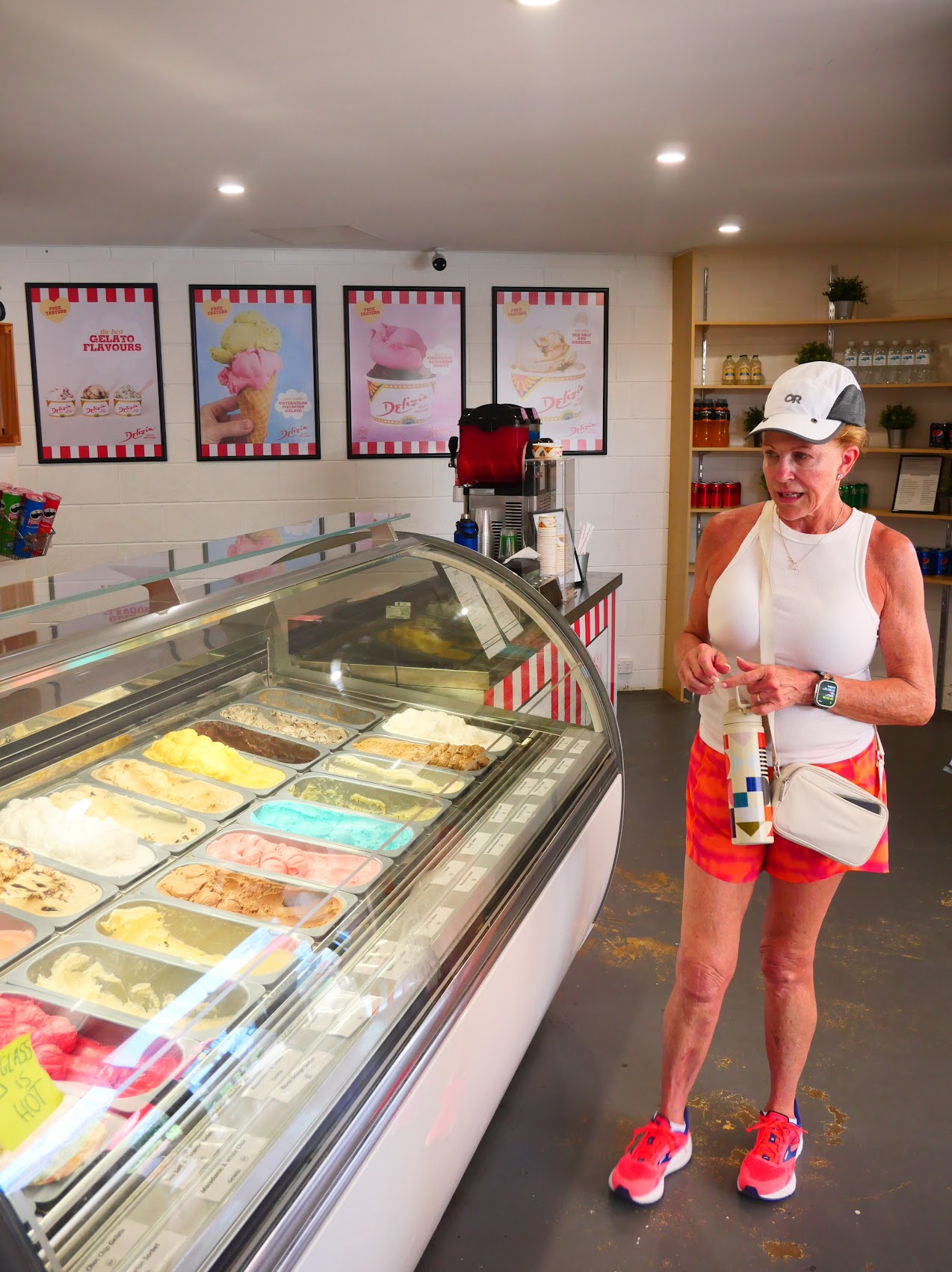
Our first order of business was rejuvenation (although the Gorge Walk was not long, we had been hiking on fairly rugged terrain for a couple of hours) so we stopped at the Whale Tail Gelati and Coffee Bar near the end of the Gorge Walk for drinks (for some) and gelato (for others). From there we made our way through the village, looking for the grocery store we had spotted on Google Maps. Along the way, we passed by the Point Lookout Lighthouse which had been proposed as early as 1825 but was not constructed until 1932. Due to it location near the high point of the headland, it is only 16 feet tall, by far the shortest and least auspicious (during the day at least) lighthouse we had ever seen.

We found the grocery store we were looking for, a place called Foodworks, tucked into a residential street just off the main road. While it was small and selection was limited, Foodworks did carry pretty much everything (and then some). We picked up a few provisions but, as we had no intention of cooking in the near future, we didn’t require much.
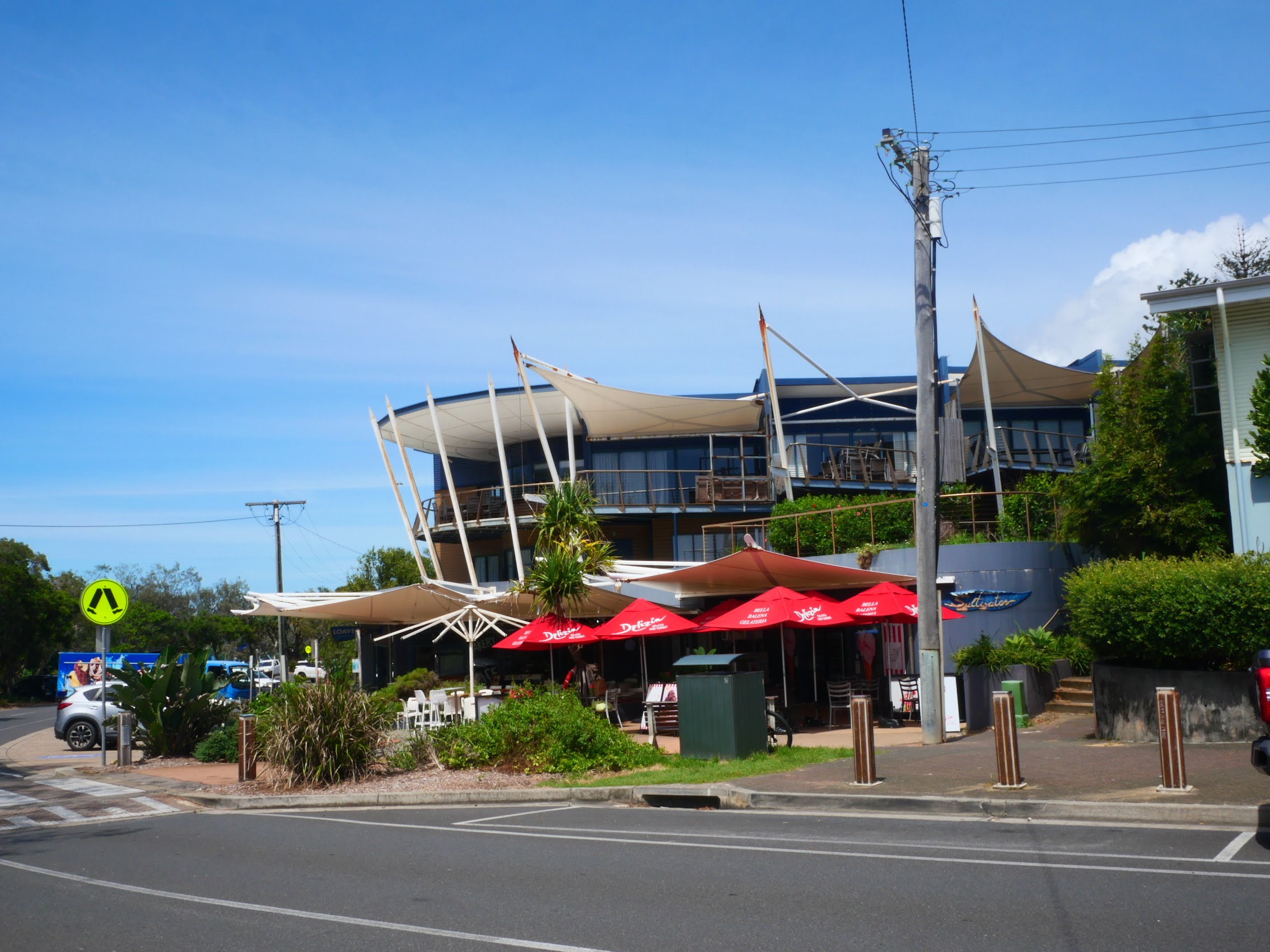
On our way home, we stopped at a place we had spotted on the way in, a relatively new condominium development which included a restaurant (The Manta Ray Bistro, by far the nicest restaurant we had seen thus far), the Straddie Brewery (whose beers we had sampled the night before), and a Cellarbrations bottle shop. (I think that the last time we had seen a Cellarbrations was back in Fremantle.) We passed on the Manta Ray Bistro (at least for the time being) as it was a bit pricey and instead had a nice lunch at the Straddie Brewery, enjoying the views of Cylinder Beach, the headlands, and the Coral Sea from its terrace. After lunch we stopped in at Cellarbrations to grab some beer and wine to go and then made our way back to Anchorage on Straddie to relax by the pool after what had turned out to be a pretty active and strenuous but richly rewarding morning.
Bugs for Dinner
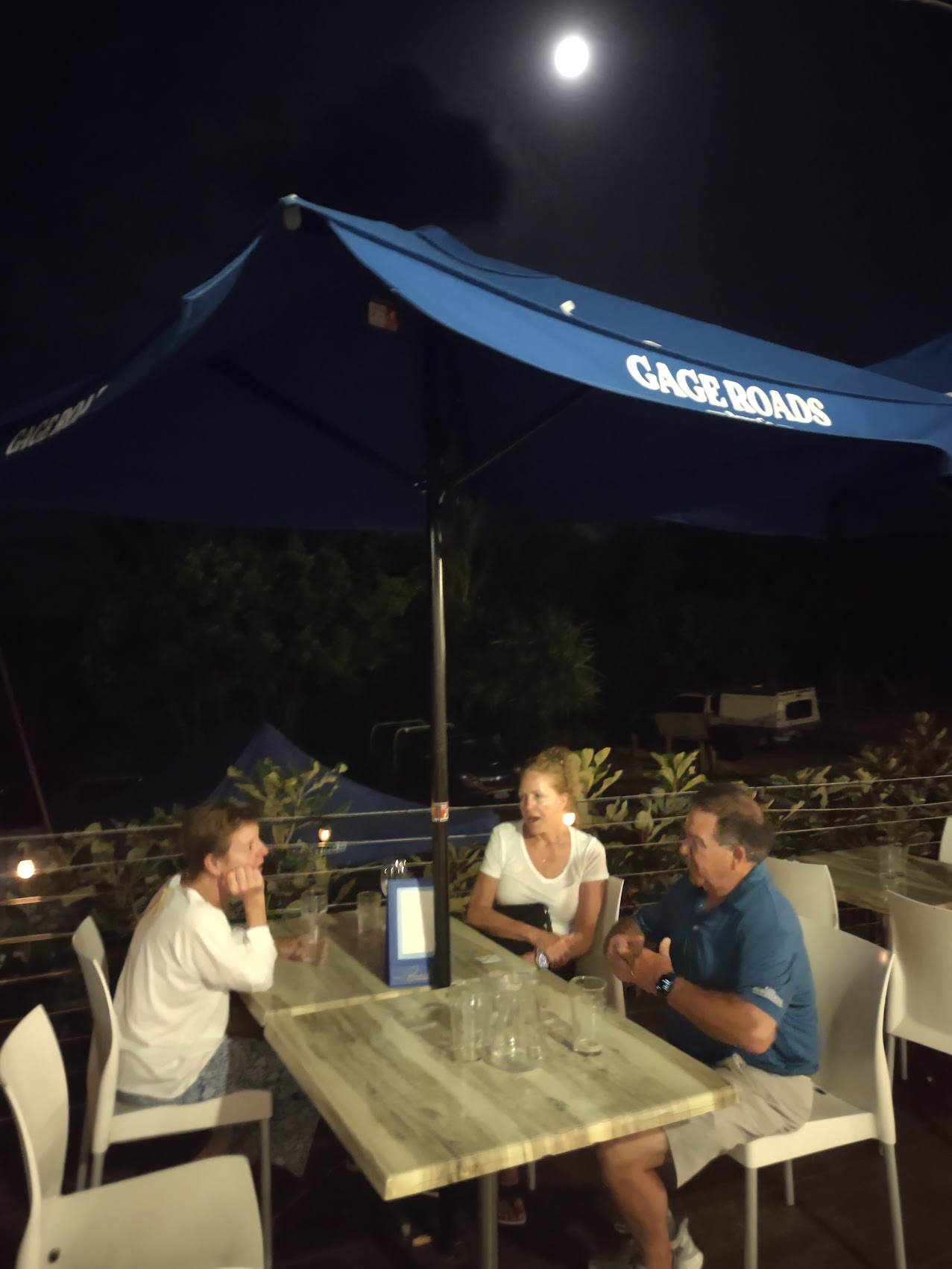
After a relaxing afternoon by the pool, we made our way back into the village for dinner at the aforementioned Manta Ray Bistro which, based on our extensive research, appeared to be the nicest restaurant in the village. We were seated at the edge of the restaurant’s open-air terrace where we enjoyed more of the great ocean views we had enjoyed at lunch (the Manta Ray and Straddie Brewery their dining terraces are adjacent and open to one another), though this time with the addition of an (almost) full moon rising over the Coral Sea to the east.

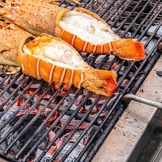
When we had been there at lunch time, I had noticed that they had “Bugs” on their specials board and enquired as to what these might be. We learned that they are Moreton Bay Bugs, a species of slipper lobster with no claws and a stubbier shape. We saw a platter of them being delivered to another table and decided we had to give them a go. Despite their strange appearance, the bugs, which were a bit less pricey than traditional lobster, were delicious and we hoped to have the opportunity to try them again.
Flora and Fauna on North Stradbroke
Since our arrival in Australia, we had very much enjoyed the dramatic differences in trees, shrubs, flowers, and wildlife which made the place seem so otherworldly. While we never did see any Koalas during our time on North Stradbroke Island, we did see a variety of interesting flora and fauna, many of which were new species which we had never seen before.
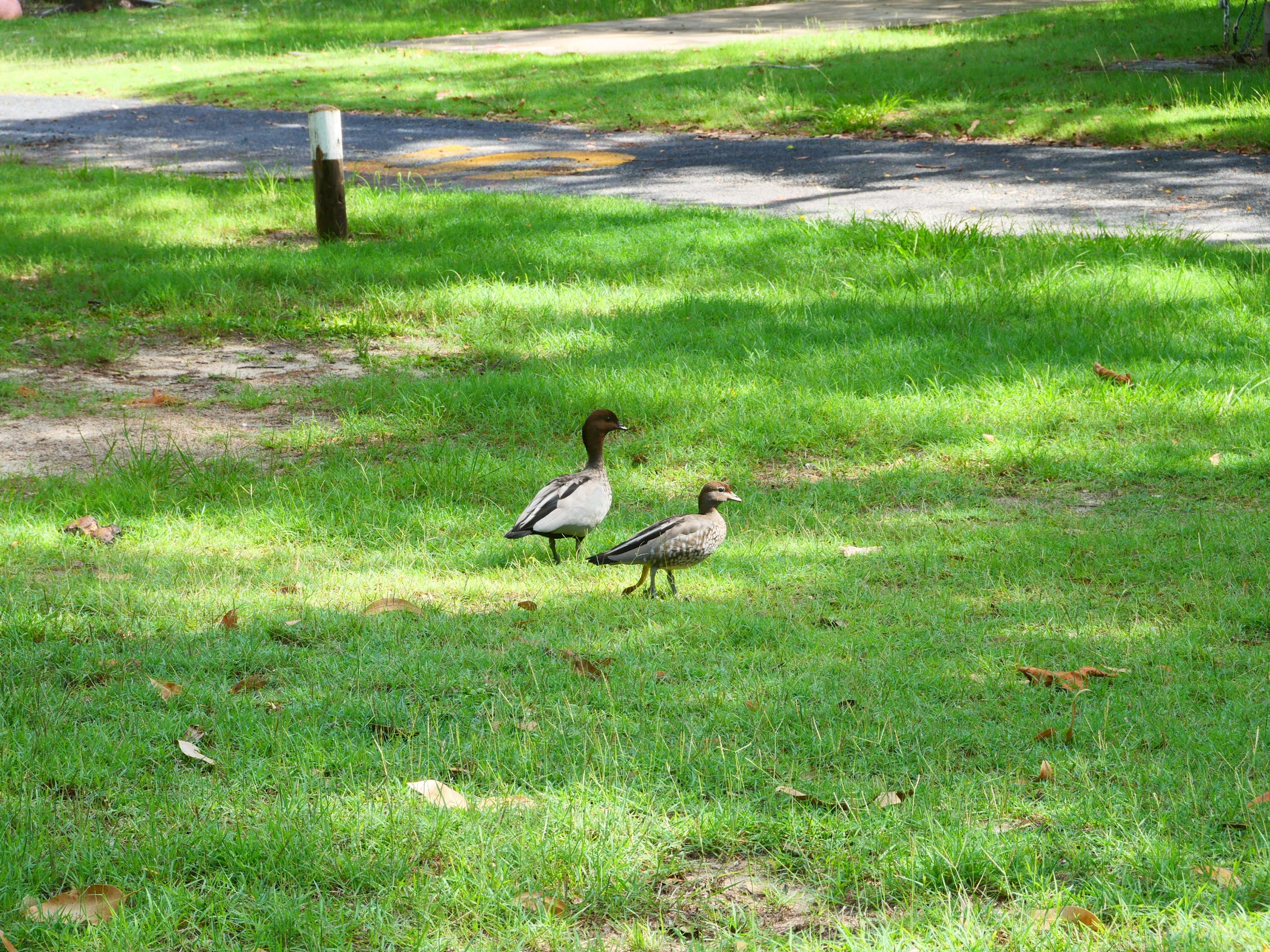
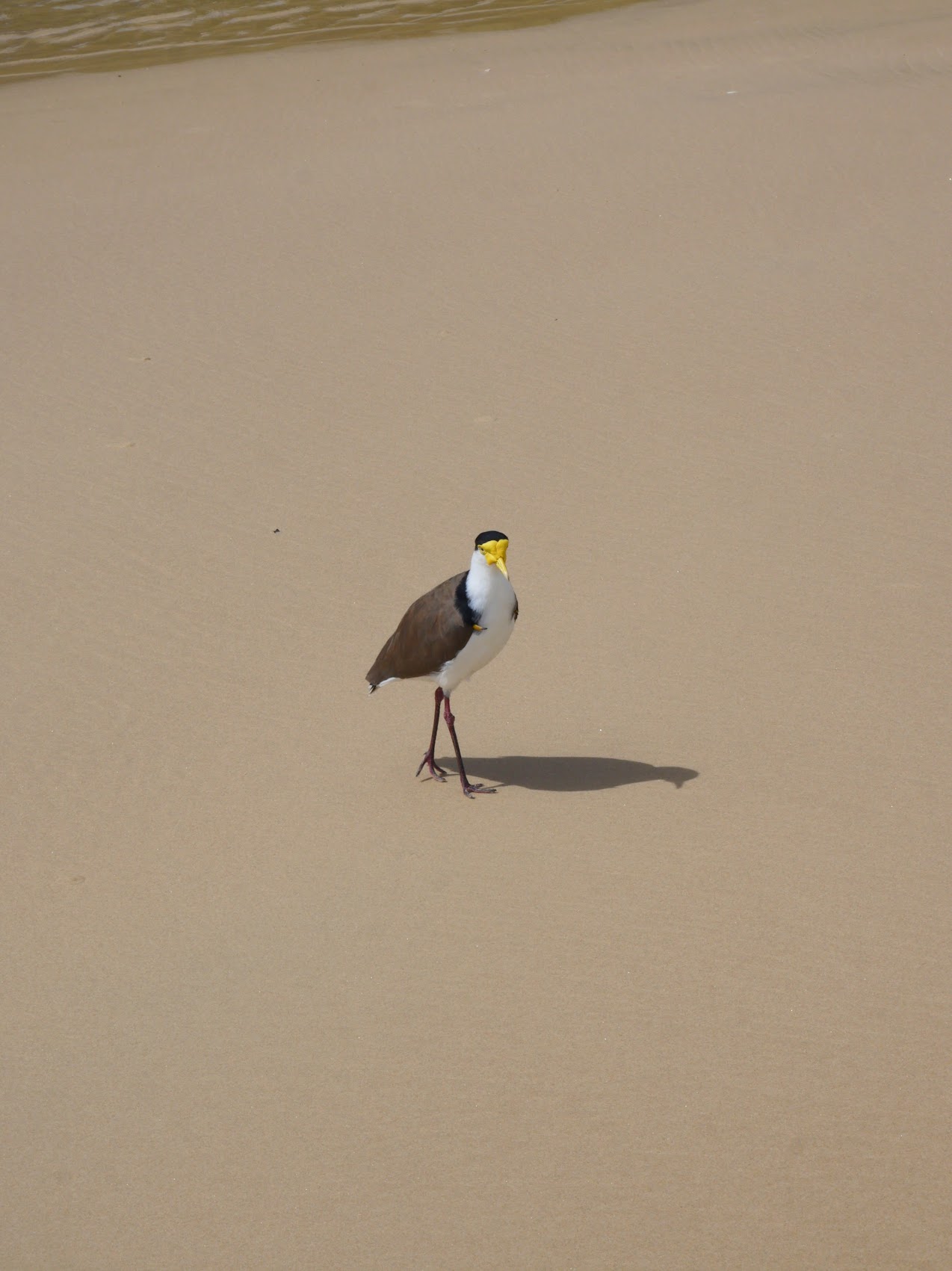
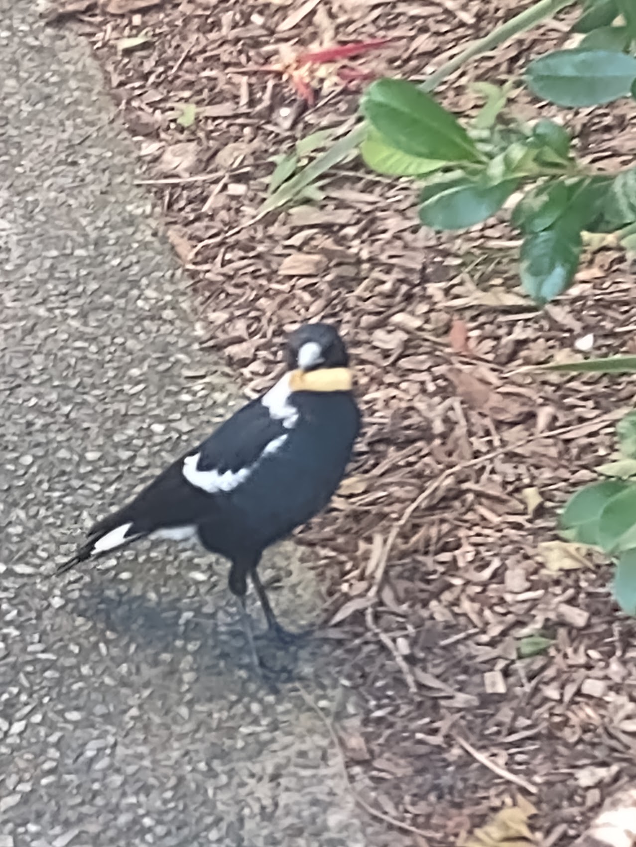
Aside from one small kangaroo we spotted in the bush during our Gorge Wak, all of the fauna we saw were birds, but there was quite a variety of them, including some new and interesting looking ones. These included Bush Stone-Curlews, Australian Wood Ducks, Masked Lapwings, Australian Magpies, and lots of Red-Billed Gulls (with red bills and red feet) on the beach.


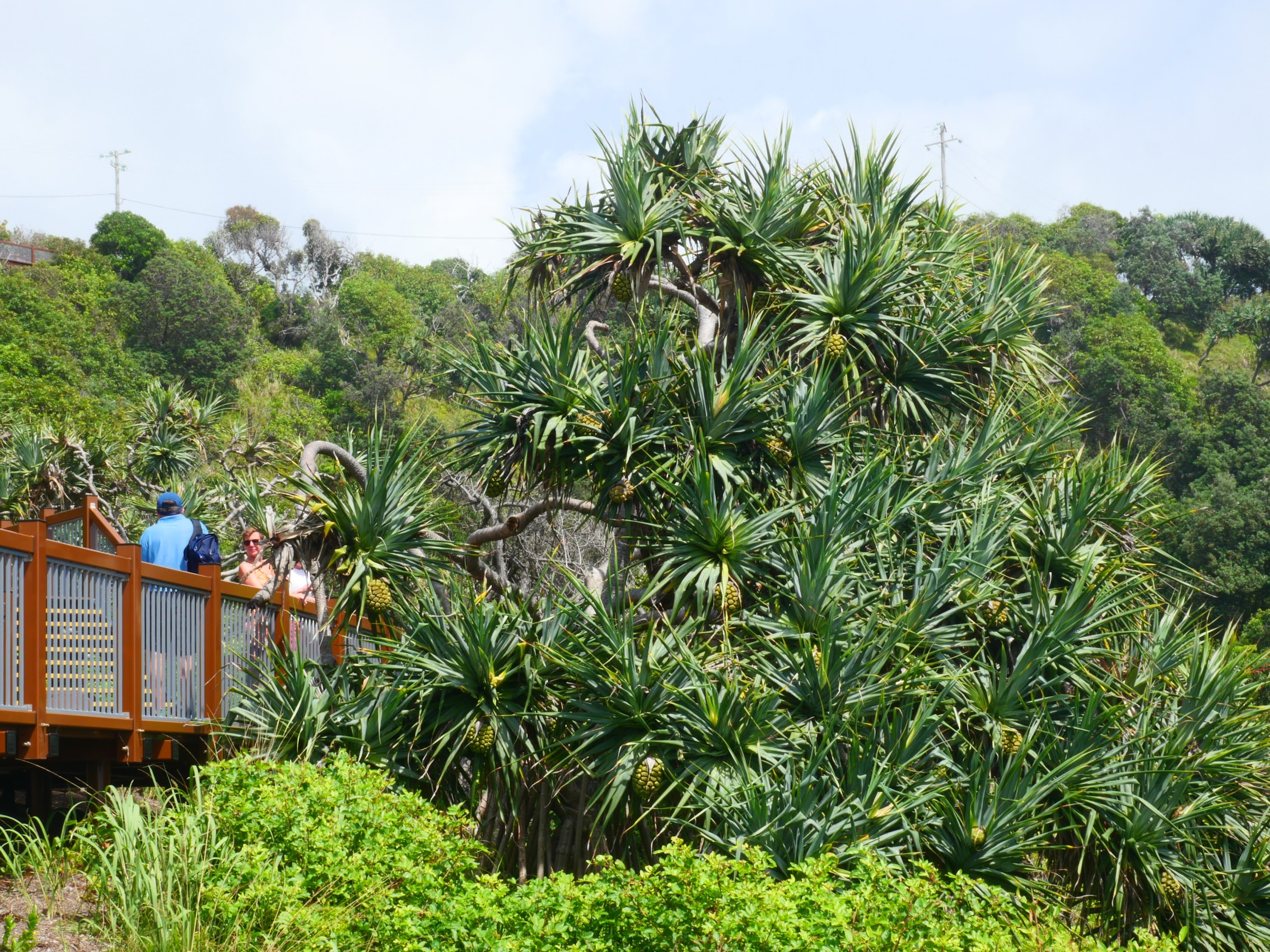
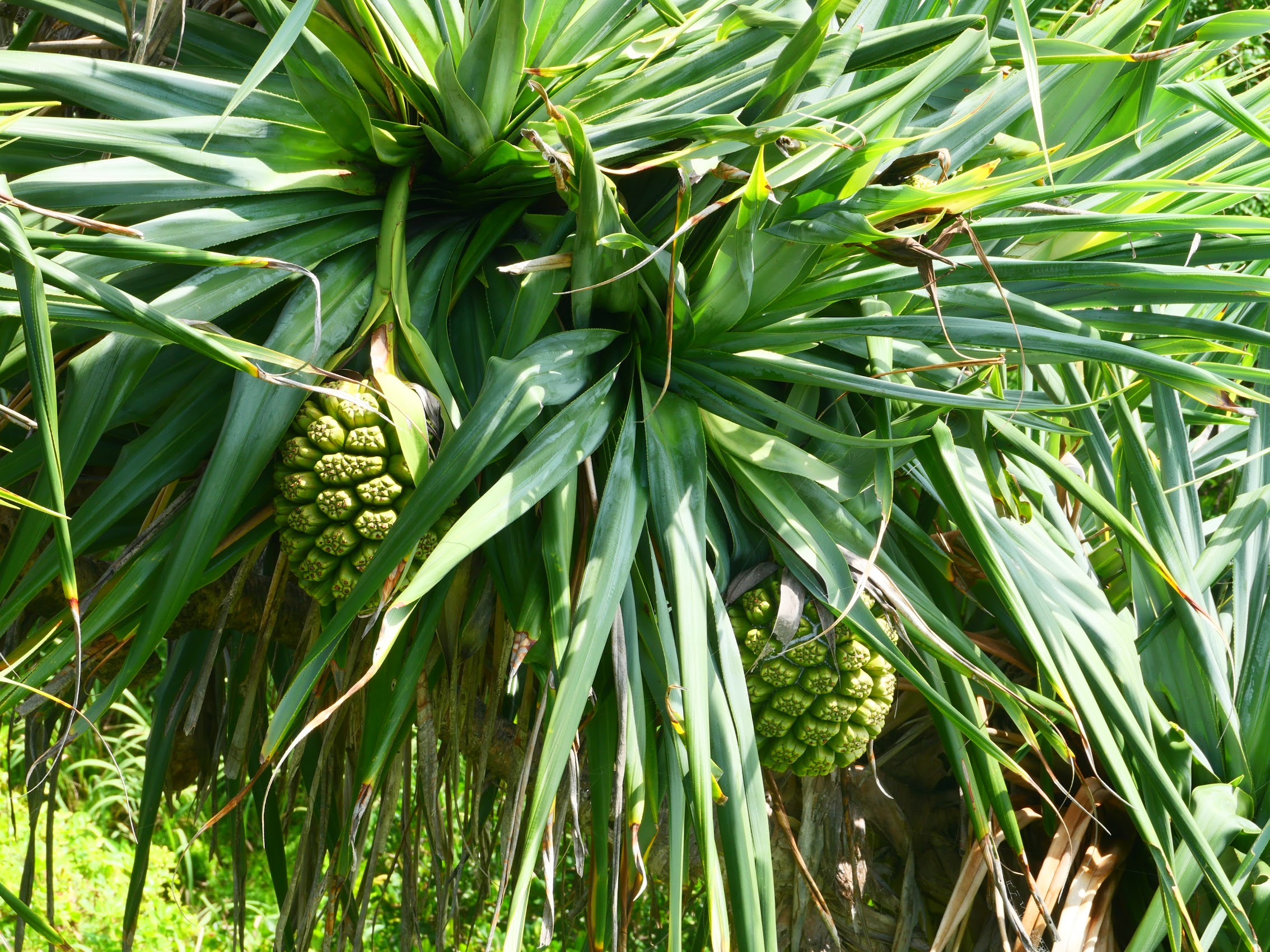
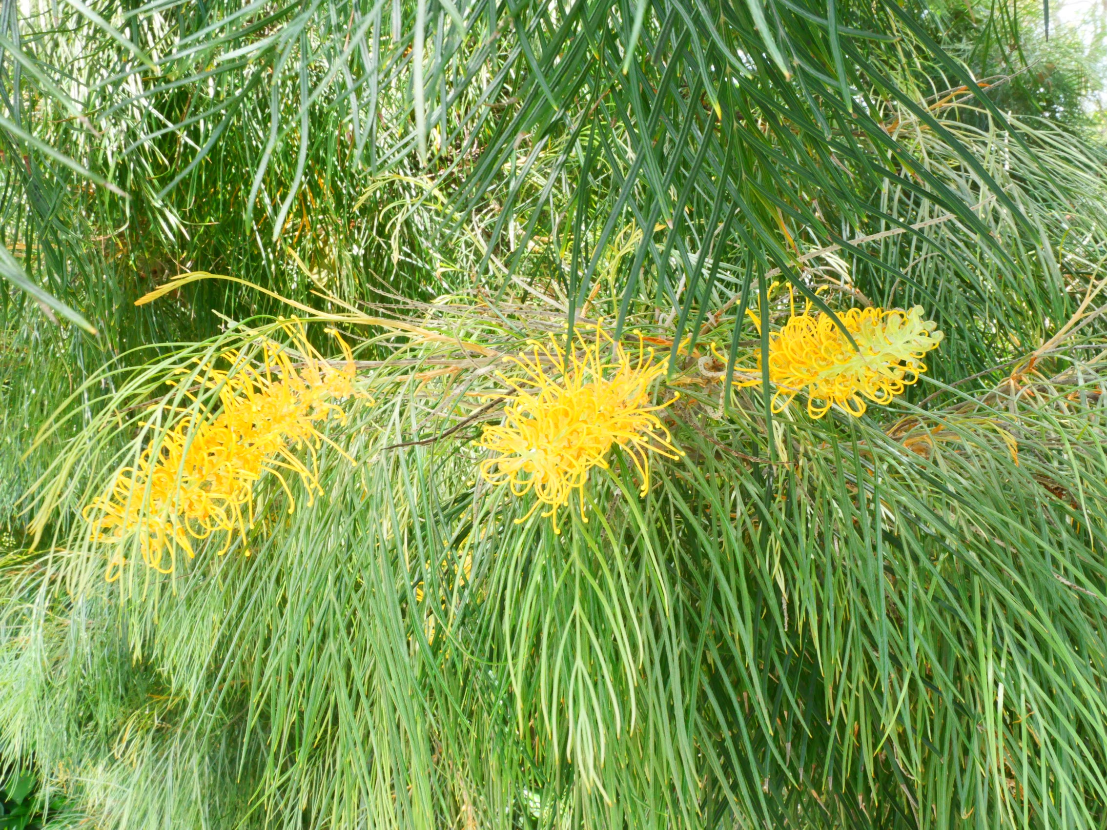
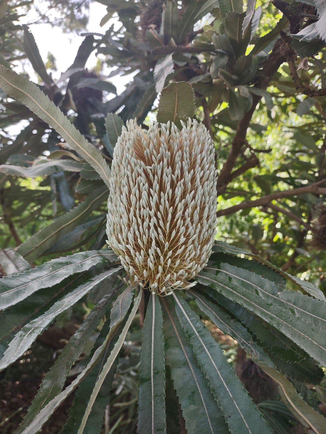
Amongst the interesting flora more Banksia, some beautiful lacey yellow flowers known as Grevillea, some beautiful orange flowers called Humboldt’s Lilly which hid in the underbrush, something called a Screwpine (sometimes called a Tourist Pineapple for obvious reasons), and the Octopus Umbrella Tree whose clusters of flowers looked like (well) octopus!


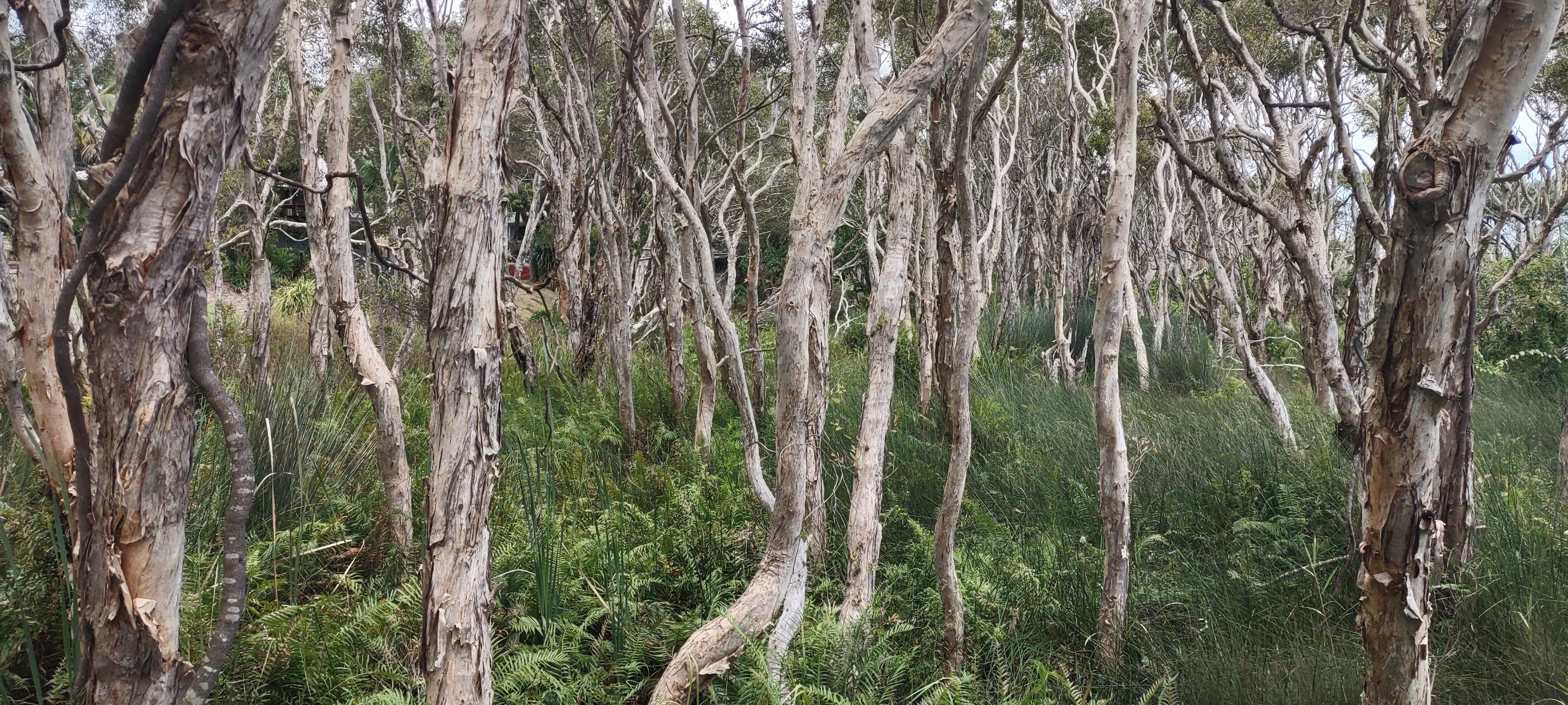
My favorites amongst all this foreign flora were the gum trees which lined the backwaters at the edge of Cylinder Beach. They were bone white with peeling bark and, when you passed through them on the way to the beach, it really did feel like you were on a different planet.
Last Day for Denny and Wendy
As Denny and Wendy wanted to spend a bit more time in Sydney than our itinerary had provided for, they planned on heading there a day before us. We spent their last morning on North Stradbroke walking Cylinder Beach one last time. We traversed its entire length down to the east headland and the backwater pools and then back to the Adder Rock Headland at the far west end from which you could look down Flinders Beach which runs for over 8 kilometers along the northern coast of North Stradbroke and which was pretty active with campers and surfers.

So, after spending the morning on the beach, the four of us boarded the local bus at the Home Beach bus stop back to the ferry terminal in Dunwich Village. Our plan (in addition to helping Denny and Wendy get their luggage on and off the bus) was to arrive there early enough to check out the village and grab a bite to eat before sending them on their way.

When we reached Dunwich, we got a bit confused and got off the bus one stop too early at the “other” ferry terminal on the north side of the village. Realizing our mistake, we more or less followed the bus’s wake to the next stop, which wasn’t awful with four of us schlepping the Maddens’ luggage, but also wasn’t exactly a cakewalk given the quantity of luggage, the hilly terrain, and the pervasive lack of sidewalks.
While our little misadventure had cost us a bit of time, we did get to see a bit of the village along the way (though not the part we had hoped to see) and, after confirming that we were, in fact, at the correct ferry terminal, still had enough time to grab lunch. We ate a place we had spotted on line called the Barn Café which had some decent pub fare, a variety of Straddie Brewery beers (they had another brewery in Dunwich), and a great roof-top dining area with views of Moreton Bay.

After putting Denny and Wendy on the ferry, we explored the village of Dunwich a bit more and came across a couple of interesting shops scattered here and there. Making no memorable purchases, we hopped the bus back to Anchorage on Straddie where we enjoyed a quiet evening with just the two of us for a brief moment.
On to the Big City
After one more morning enjoying Cylinder Beach (per our itinerary, we wouldn’t be seeing another beach with weather like this for a while), we too departed the island for our next stay in the big city of Sydney which promised to be quite a change from the small village of Point Lookout.

Leave a comment