
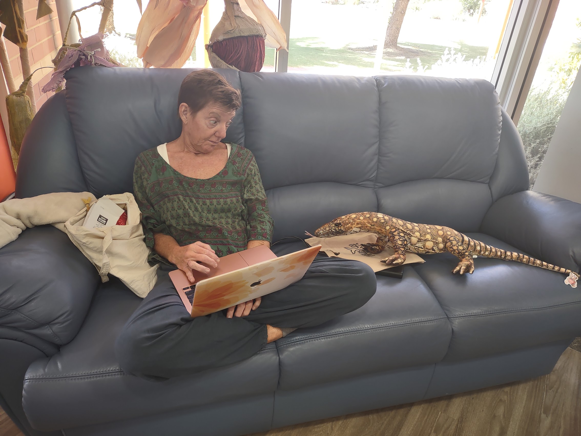
Apologies in advance for both how long it has taken to get this next installment out and for its length (WordPress estimates it to be over an hour read), so you may want to parcel it out. Following this introduction, this segment covers four stops in Western Australia, so there are some pretty clear break points if you choose or need to do so. In any case, I hope that you will find it worth the time and effort as this really was one of the more epic segments of our Big Trip.
As I mentioned in a previous installment, we had originally considered renting an RV in Perth and traveling north through Broome and then continuing north through a spectacular area called The Kimberly (Google it!), and finishing in Darwin where the road ends in the Northern Territory near the far northern tip of Australia. But it was really the wrong time of year (summer in the south, but rainy season up north) and the distances and potential time required for that trip were a bit daunting in any case. So we gave up on The Kimberly and the Northwest Territory but kept our sights on Broome which appeared to be a pretty spectacular spot in its own right with what appeared to be some pretty amazing, albeit remote (maybe even desolate?), places along the way.
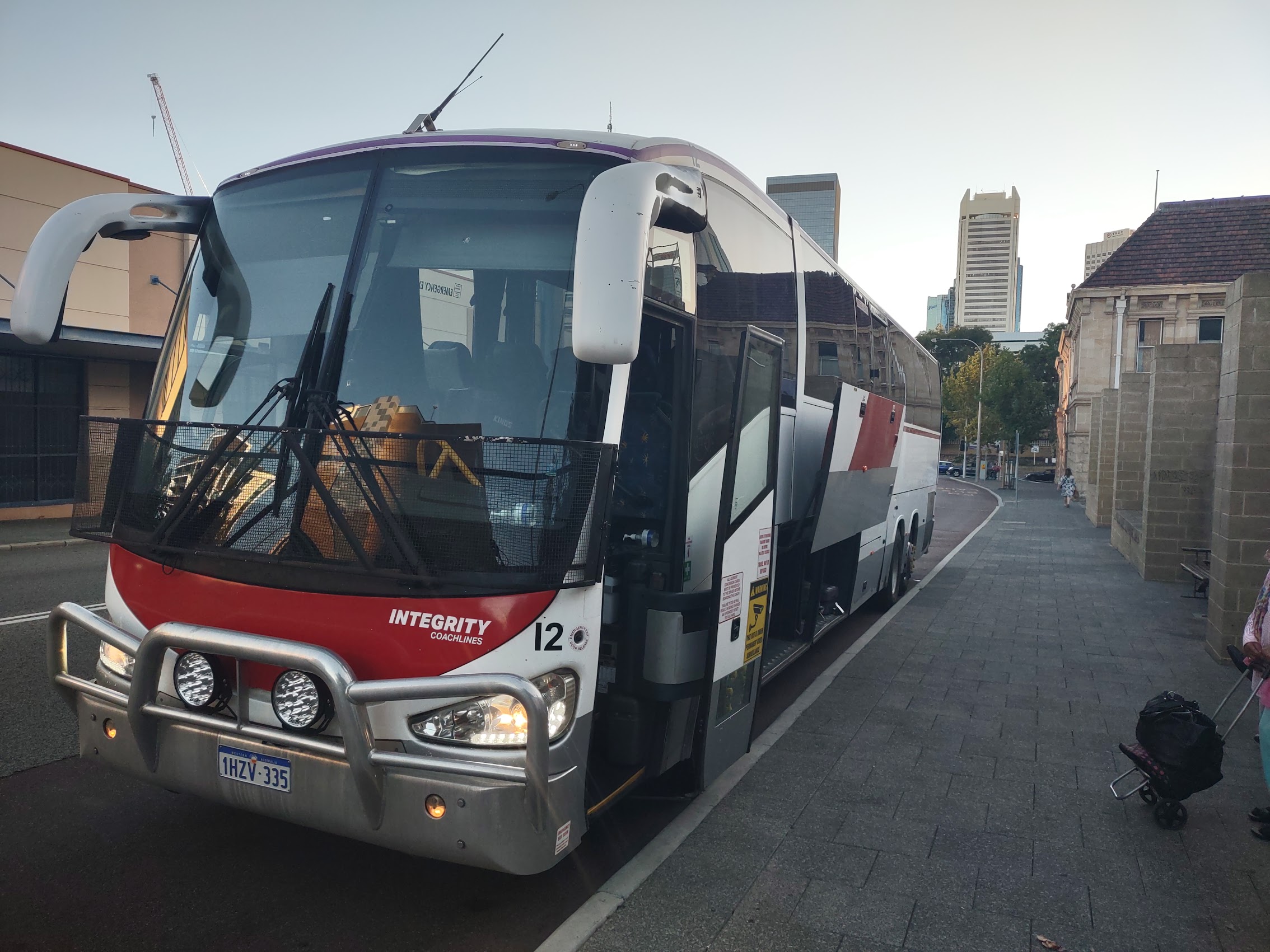
We considered renting a car as we had when we toured the southwest coast, but the trip to Broome was one-way as it was our intent to fly from there to the east coast, so we didn’t want to have to drive the 3,000 kilometers back to Perth or deal with added rental drop fees. (The RV rental place we looked at – who wasn’t renting yet – specialized in one-way rentals as they had shops in Perth, Broome, and Darwin, so we may have to come back when it’s not rainy season!) And then Colleen discovered Integrity Coach Lines who, as it turns out, is the only coach line with service between Perth and Broome, and the HOHO bus!
[Author’s Note: Please note that I have previously and erroneously referred to this as the “JOJO” (Jump On Jump Off) bus, and, in fact, that is what all my travel notes call it. But, upon further review (and questioning from Colleen) I stand corrected as it is actually called the “HOHO” (Hop On/Hop Off) Bus. Personally, I think I preferred “JOJO” (made me think of Jojo Rabbit), but I have to admit that “HOHO” makes it all sound like a bit more fun and hopping on and off a bus definitely sounds safer than jumping!]
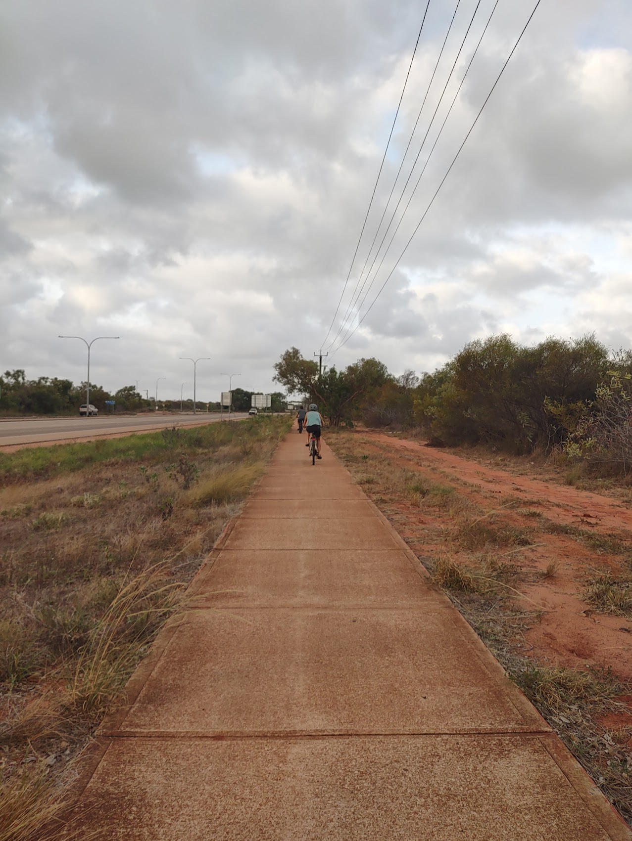
The HOHO bus is pretty much what you would imagine from its name and it’s quite possible you’ve experienced something similar at a somewhat smaller scale when visiting other cities. It’s a bus where you can get off and then back on at certain fixed points along the route. In this case, tickets are good for 12 months and allow an unlimited number of trips. Ticket prices are based on the total number of kilometers you may travel, so we purchased two 3,000 kilometer passes for $399 AUD (about $270 USD) which was sufficient to get us from Perth to Broome over as many days and in as many legs as we chose.

There were 20 stops to choose from between Perth and Broome and the entire trip (were we to not hop on and hop off) takes about 36 hours. Each leg had to be booked in advance, but the buses were generally not close to full, so finding seats wasn’t really an issue. However, logistics got a bit tricky as the buses don’t run every day. Northbound buses depart from Perth Sunday, Tuesday, and Thursday evenings, but the Sunday bus has a different route and different stops north of Exmouth and does not continue all the way to Broome.
Thankfully, our trip logistician (Colleen) has become quite adept at scheduling buses and based on a fair amount of research and also a bit of guesswork (there wasn’t a lot of information available on many of the places between Perth and Broome), we cobbled together an itinerary which anticipated three stops of varying lengths before finally arriving in Broome after 10 days and just under the 3,000 kilometers of travel allowed by our tickets.
So HOHO here we go!
One Last Day in Perth
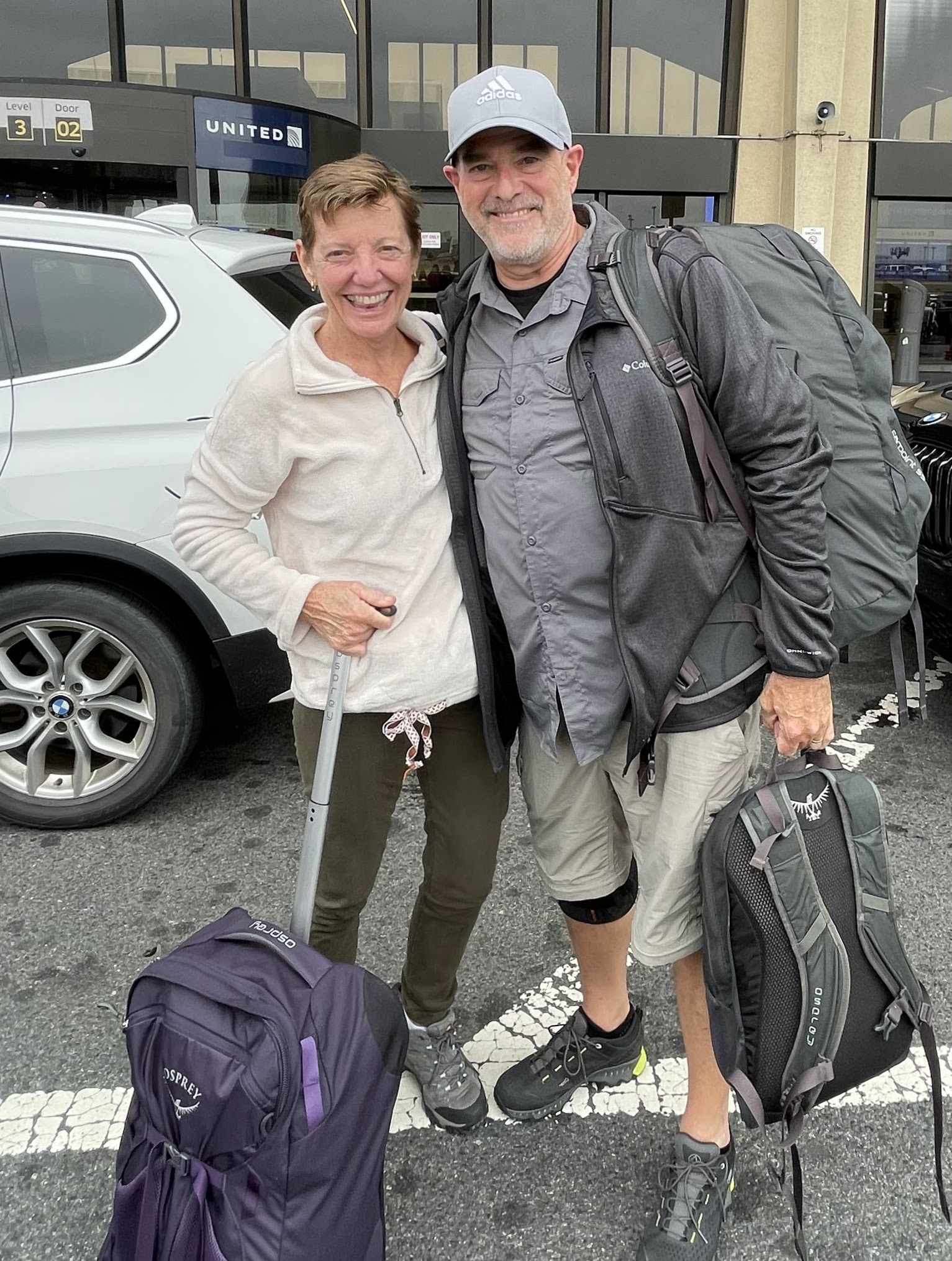
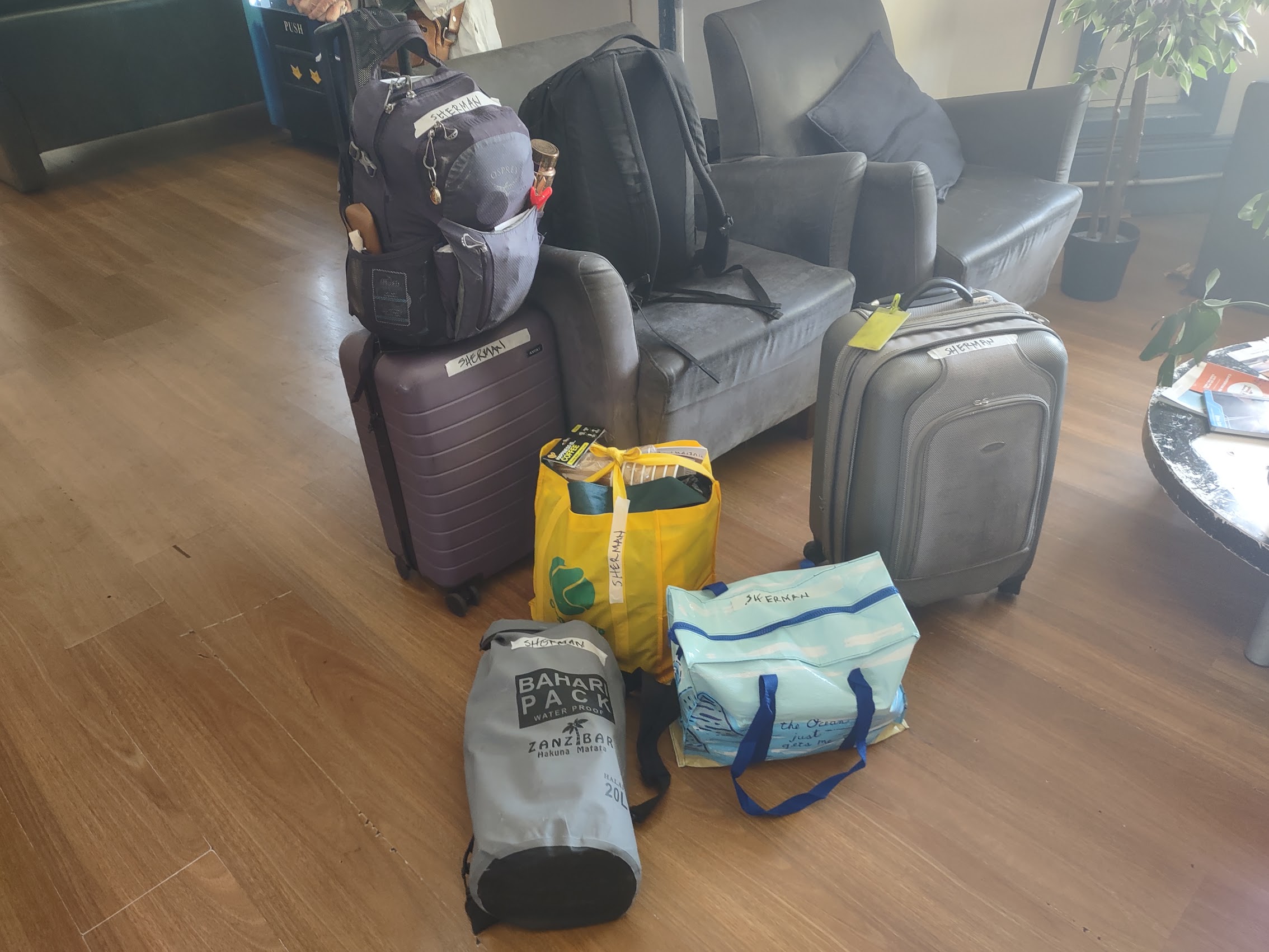
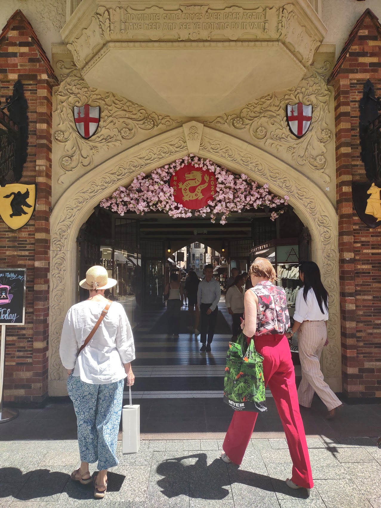
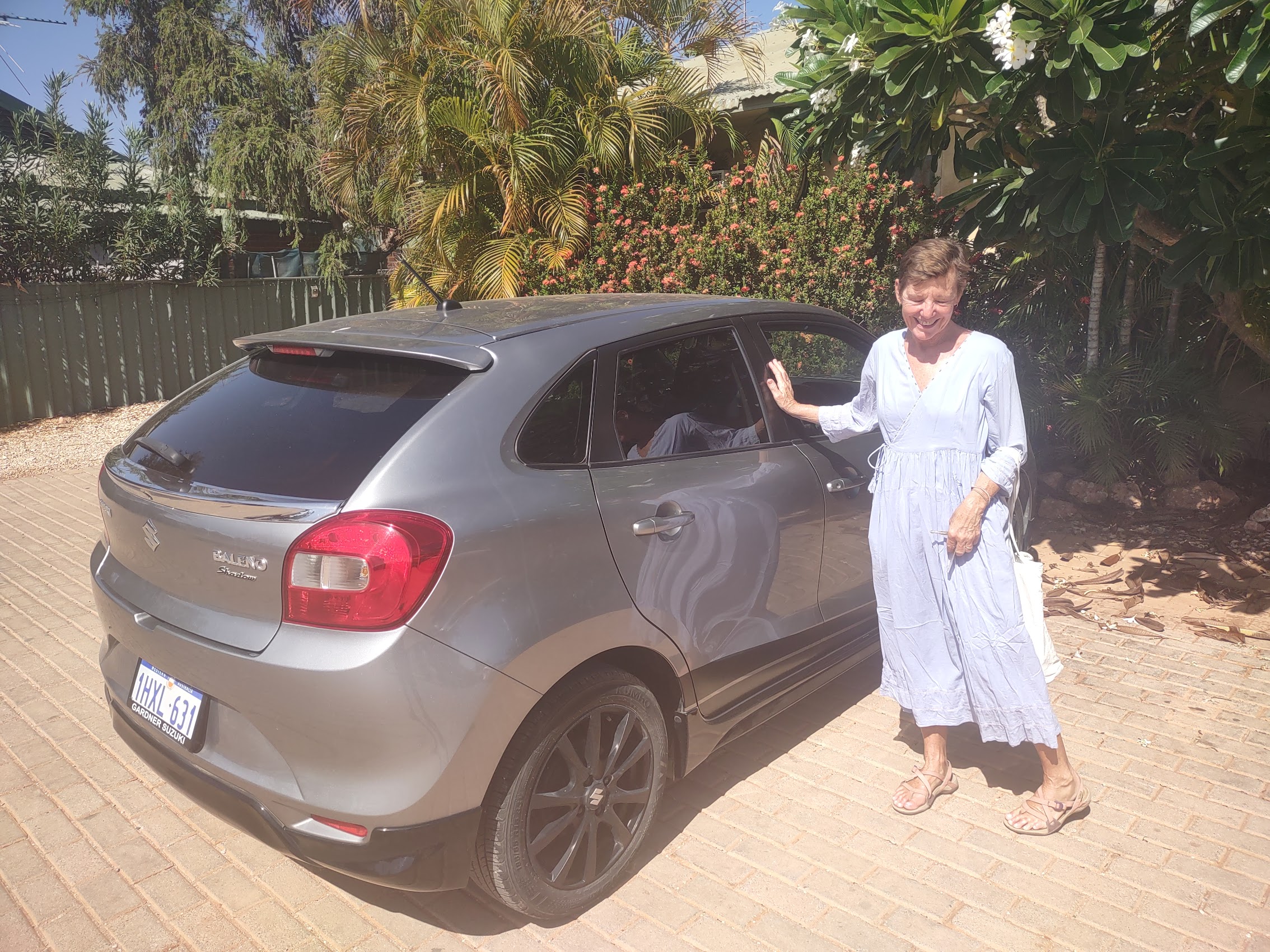
After an uneventful four-hour drive from Hyden (home of Wave Rock) we arrived back in Perth on Tuesday January 23rd, dropped our rental car off, and took an Uber back into the city. Our HOHO bus was scheduled to depart at 7:00 PM which gave us plenty of time to see a bit more of Perth and to make some last-minute purchases before beginning our HOHO bus adventure. While we had done our best to consolidate our luggage, we now had three satellite bags (including our collapsible cooler), and a beach umbrella in addition to our carry-ons and backpacks. Even without the satellite bags, it would have been no fun schlepping our luggage around town so we were happy to have discovered the Hive Hostel, just around the corner from our bus stop, where, for a modest fee, we could store our luggage for the day which was where we had our Uber driver drop us.

We canvassed the city shopping district one last time, doing a lot of window shopping and making a few necessary (and a couple of “not necessary”)purchases along the way. After many months of being barefoot or wearing only sandals Colleen purchased a pair of closed-toe shoes (strongly recommended for where we were going – ants, scorpions, snakes, cactus, and the like) and finally replaced the rose gold hoop earrings she had lost some time back. Unfortunately, I had no luck getting the screen on my phone replaced (it got cracked pretty badly during a bike spill on Rottnest Island). In consolation, I purchased a nice insulated and very compact travel coffee cup (one of my biggest gripes on our car trek was not having one to take coffee with me in the morning) and a waterproof phone case with aspirations for some snorkeling photos.


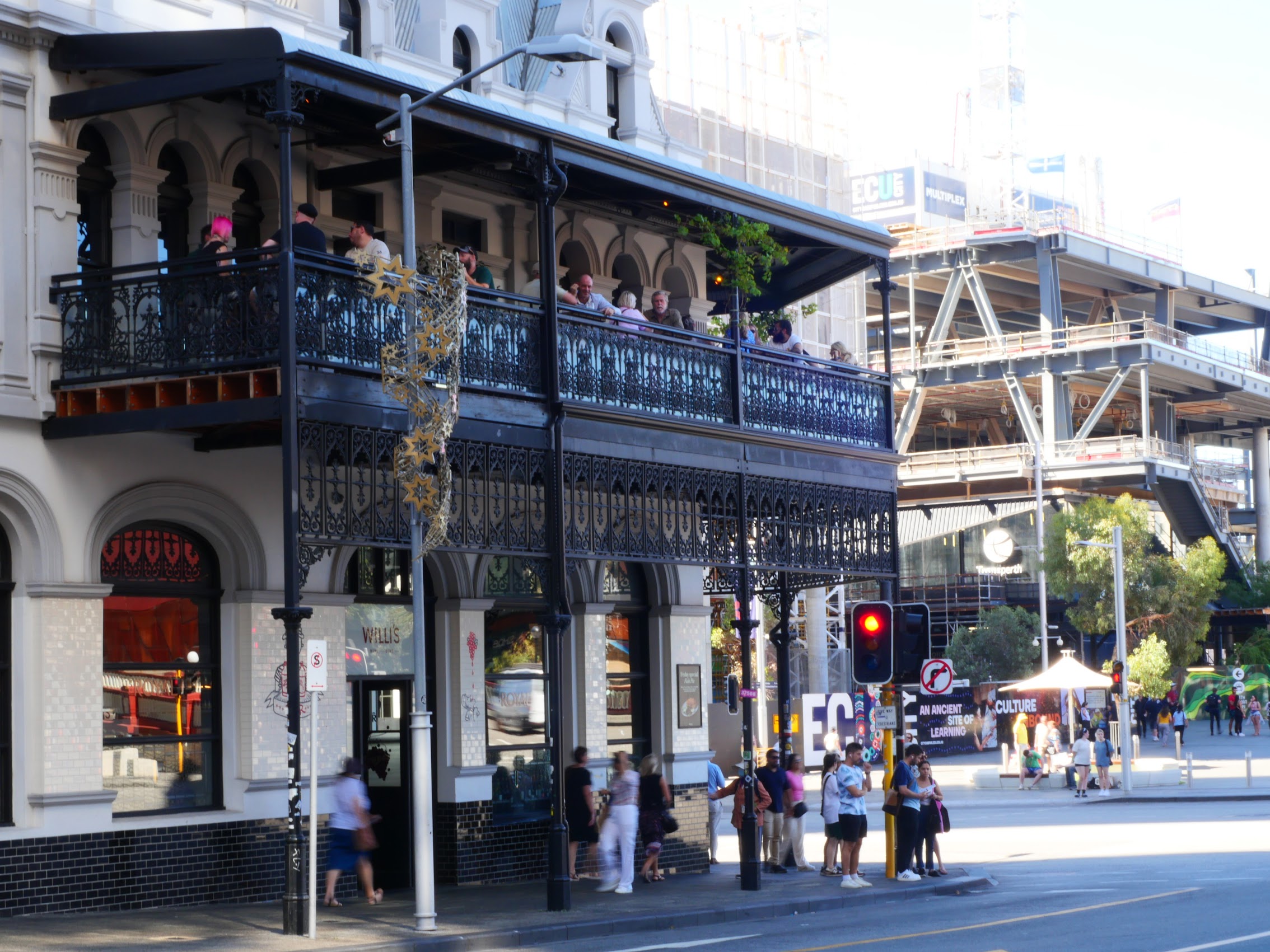
On our way back to the Hive, we stopped for drinks and a bite to eat at a place we had spied on our day last trip into Perth, the Royal Perth Hotel. The Royal first opened in 1882 and for many years was considered the grand dame and true epicenter of Perth. After extensive renovations and major refurbishment, The Royal reopened in November 2019 to wide acclaim, picking up numerous awards along the way. It’s a historic heritage listed building with an incredible story and some interesting furnishings, a piece of Perth history revived.
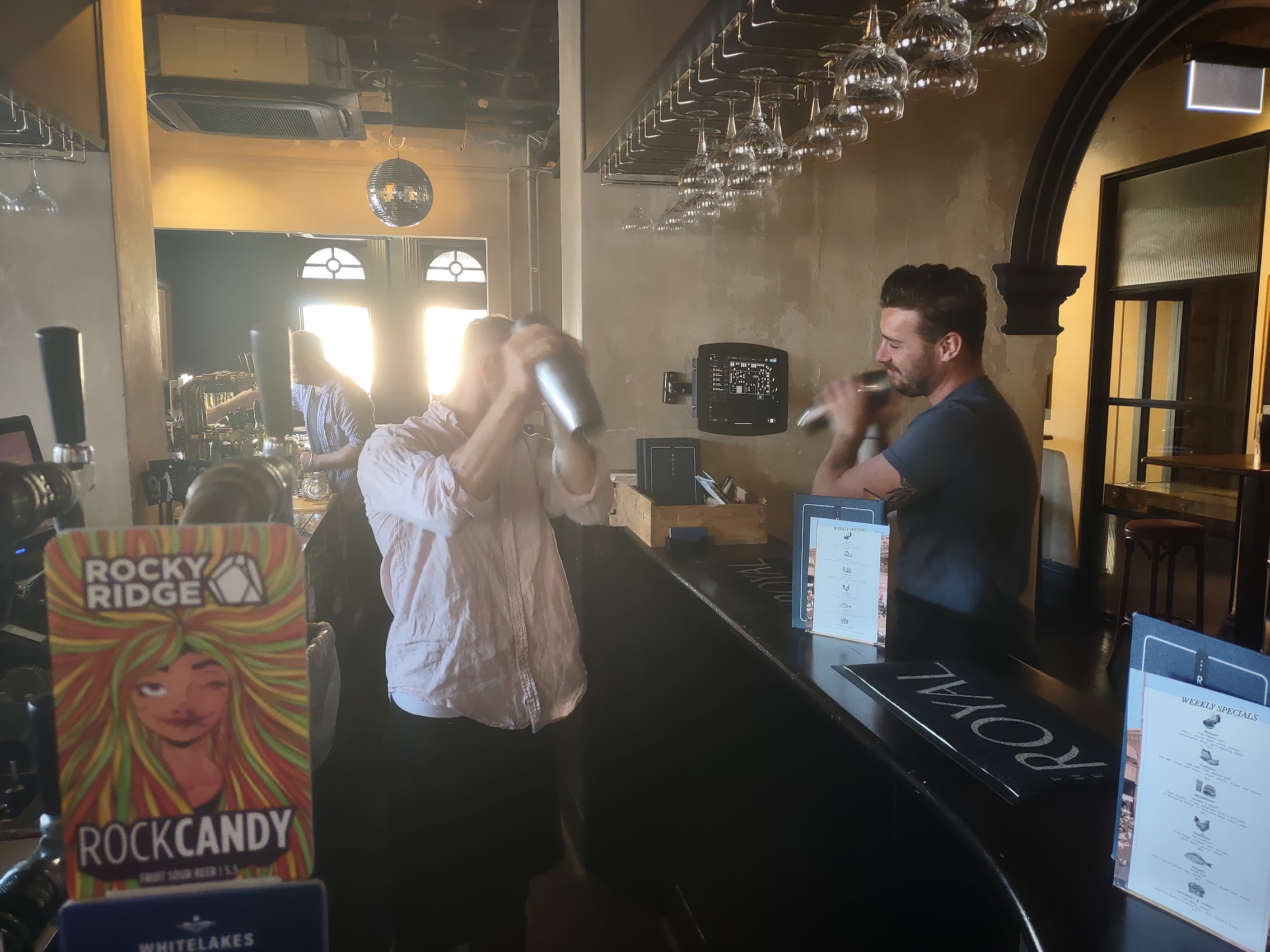
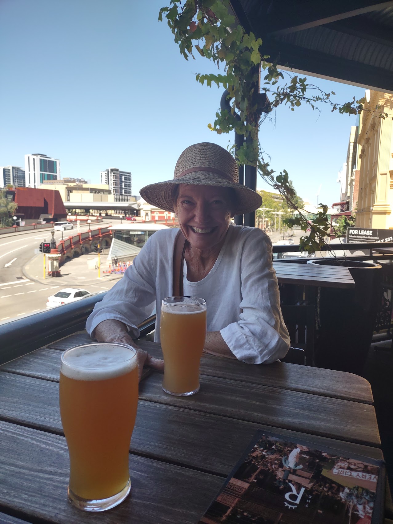


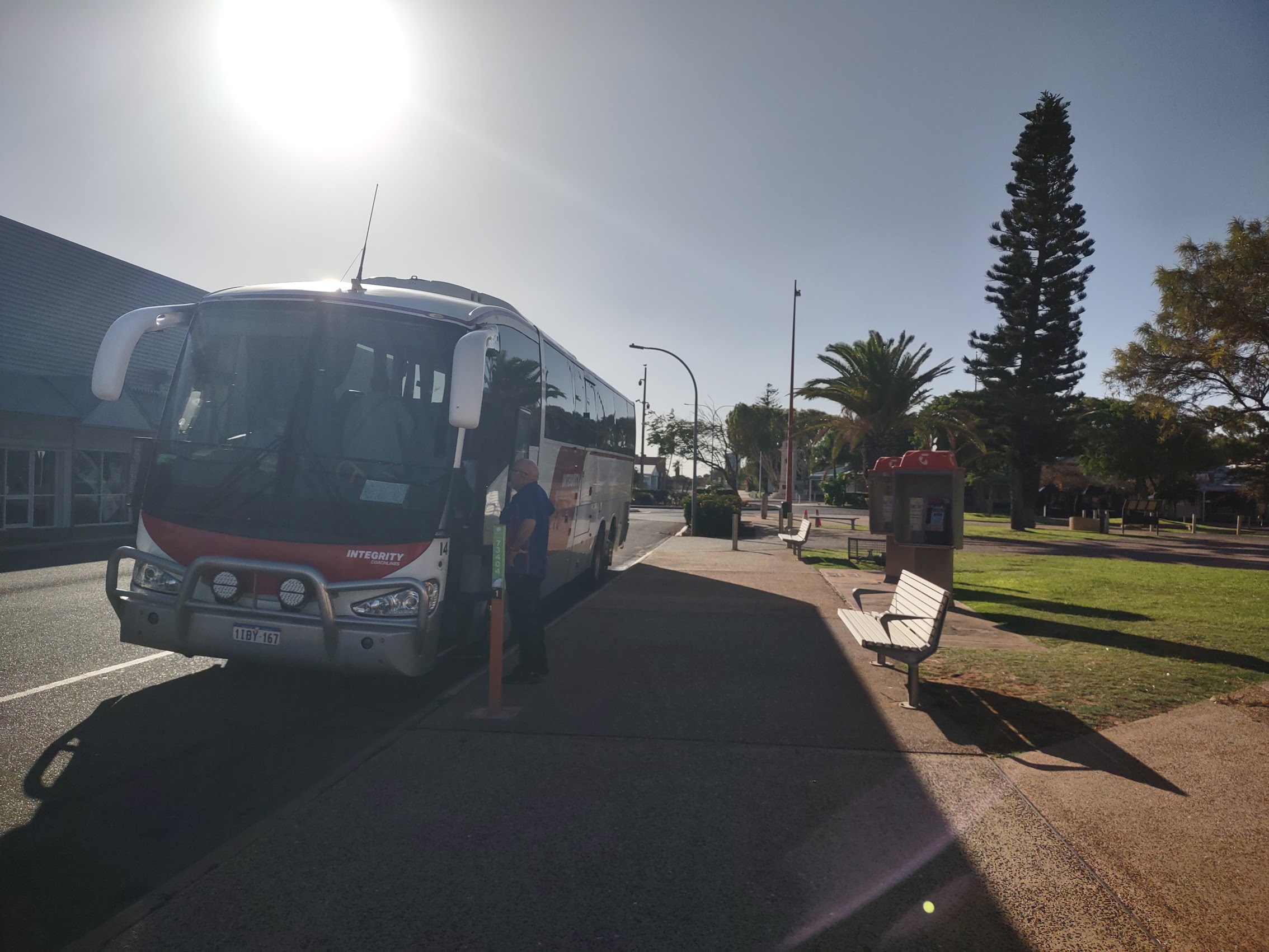
After a pleasant a last meal in Perth and some great beers (including a new sour ale with the disarming name of “Rock Candy” which was Colleen’s favorite sour to date) we headed back to the Hive Hostel to retrieve our luggage and then on to the Beaufort Street Tourist Bus Stop (really just a sign on a street corner) to await the HOHO bus.
Waiting for the Bus
It’s worth noting that up until this point in our trip we had had no interaction with any Aboriginal people (or First Nations people as they are now more commonly referred to in Australia). Although the First Nations people account for less than 4% of the Australian population (and less than 2% in Perth and Fremantle), this still seemed a bit odd to us. In any case, we were a bit taken aback when the bus driver, who was quite friendly and amicable toward us, displayed a very different attitude toward a First Nations woman who was boarding the bus with us, giving her quite a hard time over her luggage (and leaving us feeling quite odd given the amount of stuff we were schlepping). It honestly left us wondering what the heck was going on. (To be continued…)
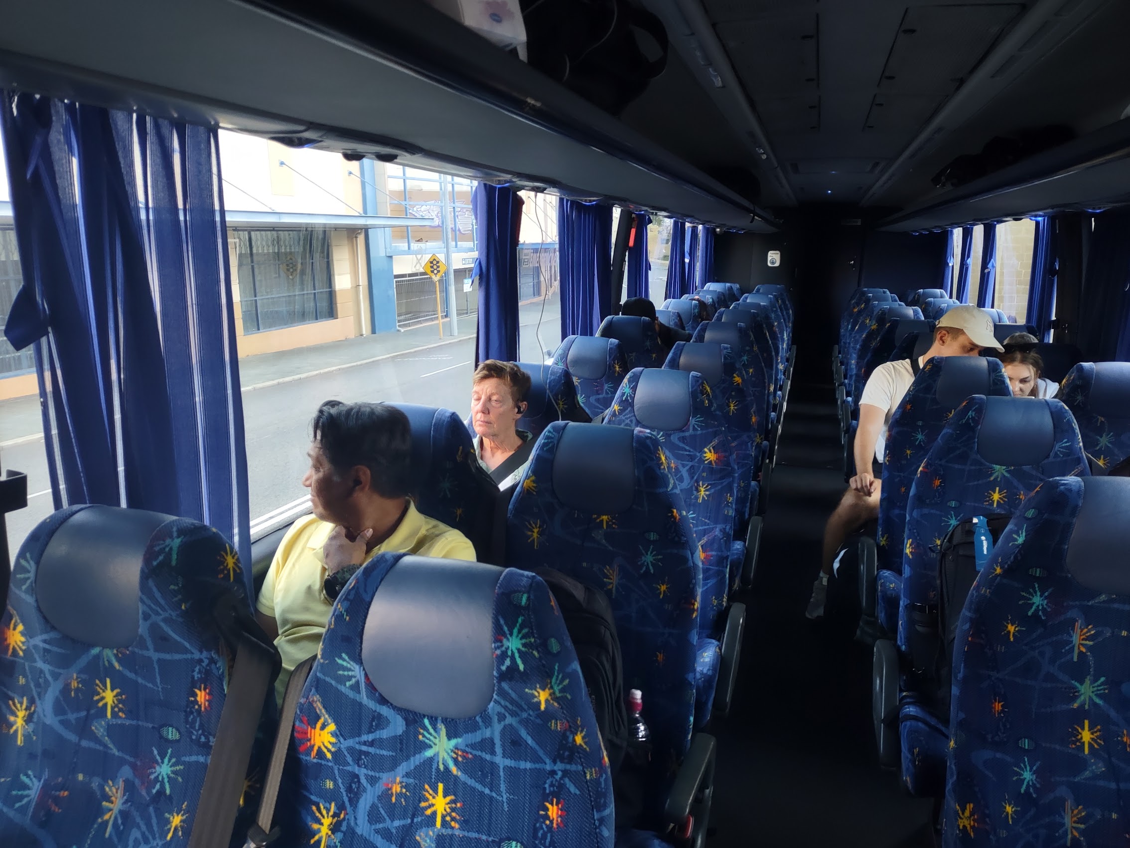
As it turned out, there were fewer than 10 passengers on the bus and plenty of room for all. The 3-hour drive to our first destination passed quickly and before we knew it, we were “hopping off” at our first destination, the town of Jurien Bay.

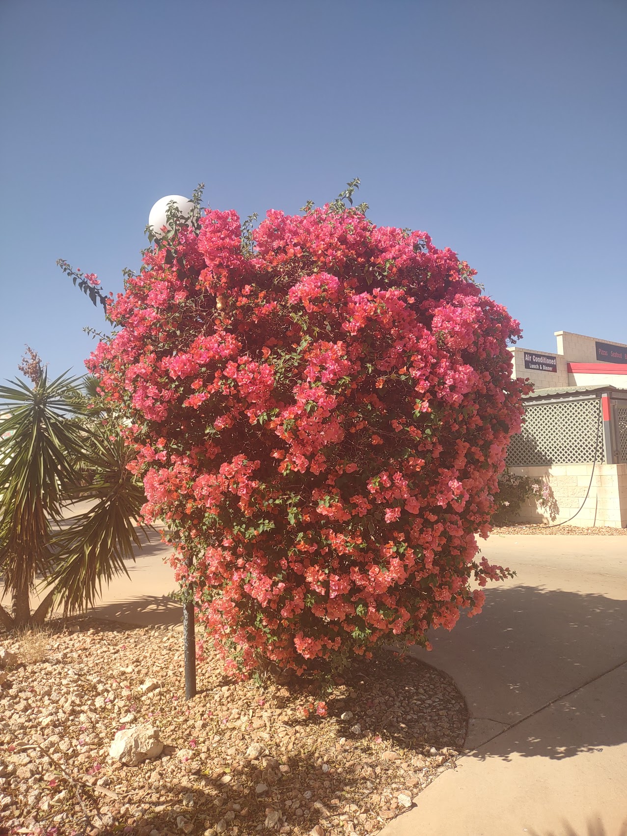
JURIEN BAY
Area 51
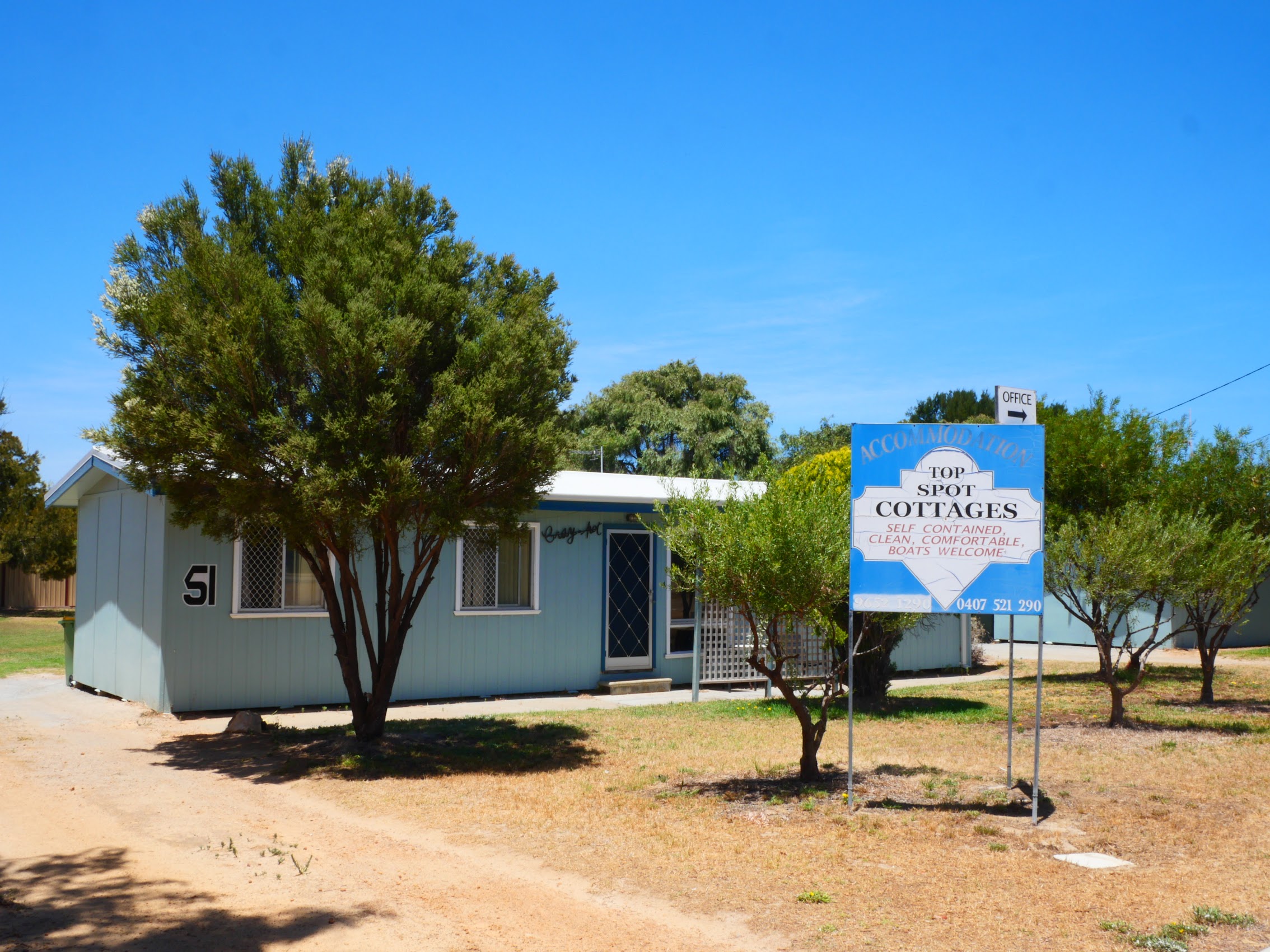
We choose Jurien Bay as our first destination primarily due to its proximity to a couple of interesting natural sites, but I have to admit that we had some reservations about our reservations in Jurien Bay. With a population of about 2,600, Jurien Bay didn’t offer a lot of choices in accommodations and, while we did find some very nice places, most of them were double or more our budget. As an added complexity, we needed to find a place with self-check-in as we would be arriving after 10:00 PM.
As luck would have it (not sure if it was good or bad luck) and perhaps with an assist from it being off-season, we found a place which appeared to meet our needs. While the price (a “bahhgan” at $99 per night!) and location looked good, the photos of the place left us a bit skeptical and, based upon its appearance as well as its address (51 Bashford Street) we took to referring to it as “Area 51” long before we arrived.
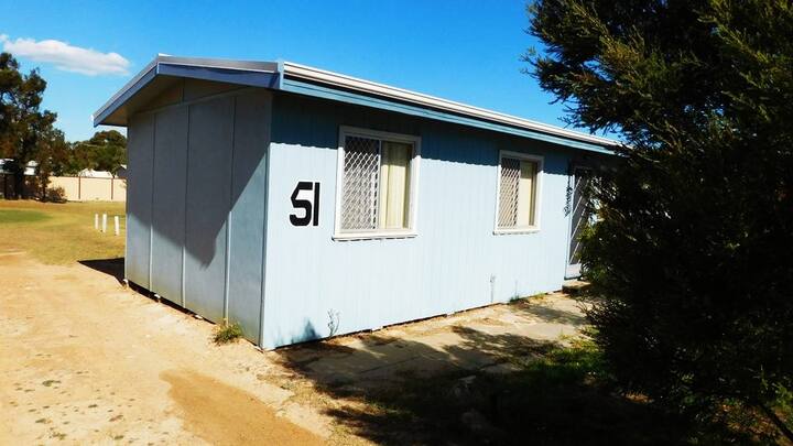
Arriving after 10:00 PM, we found Jurien Bay dark and deserted but, thanks to an almost full moon, we were able to find our way to Area 51 without too much trouble. (Jurien Bay is a very small town!) After fumbling around for a while with the lock on the front door (which was hopelessly frozen in a locked position), we tried the back door and were finally able to get in.
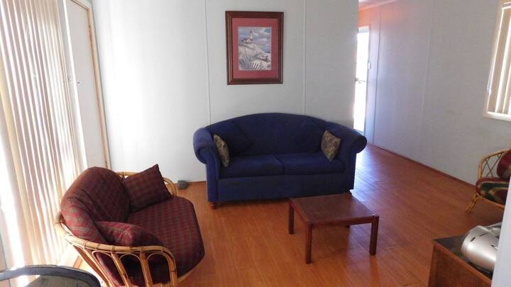
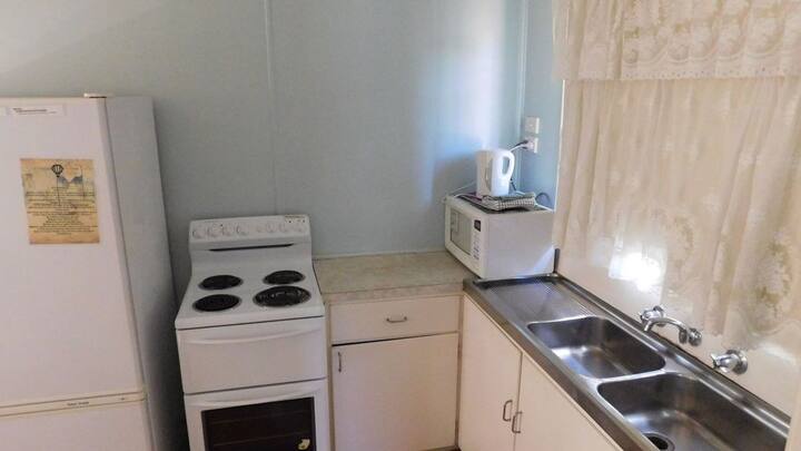
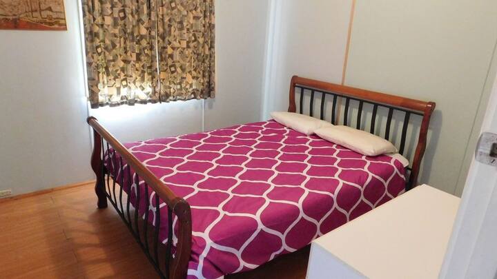
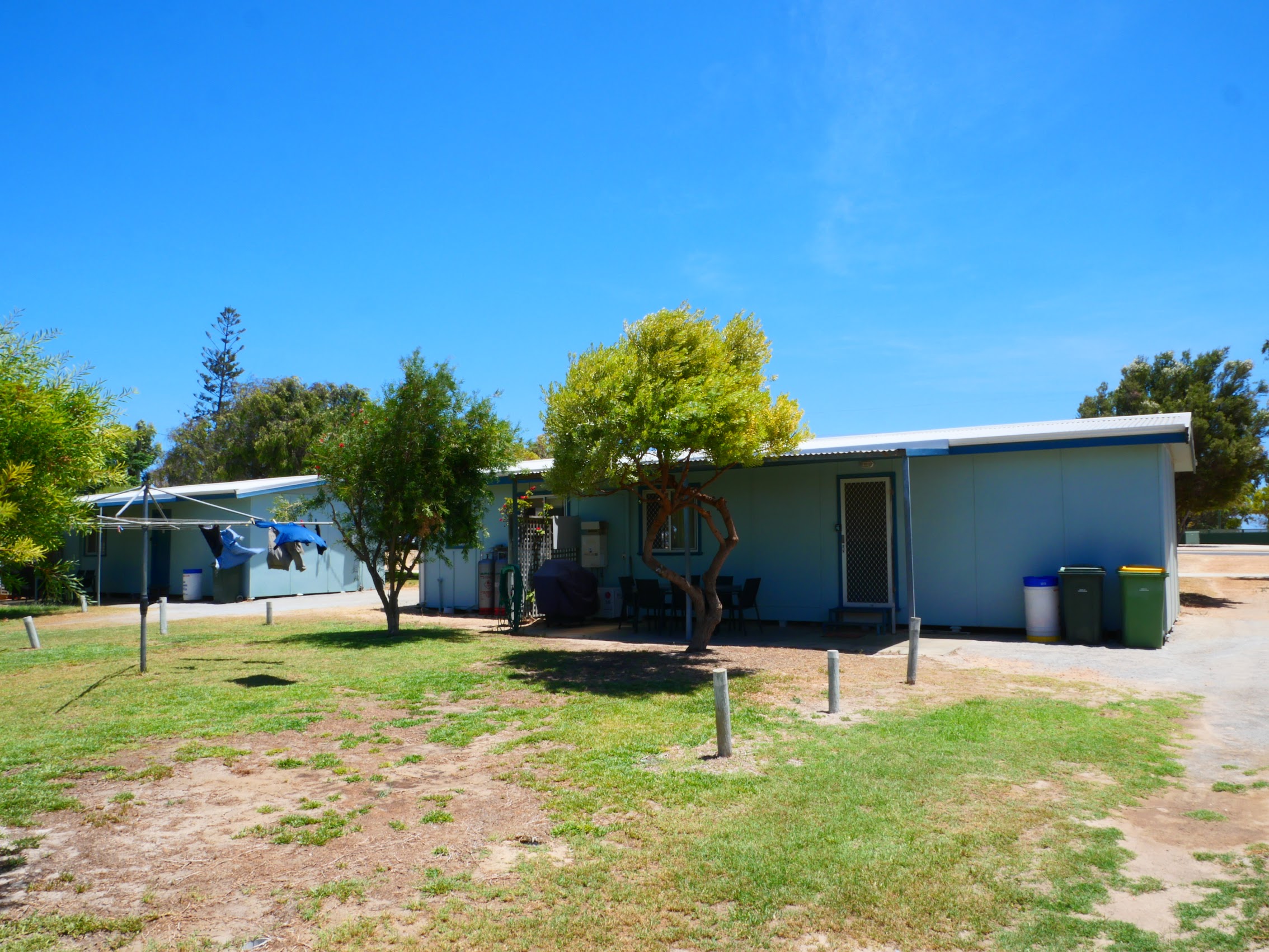
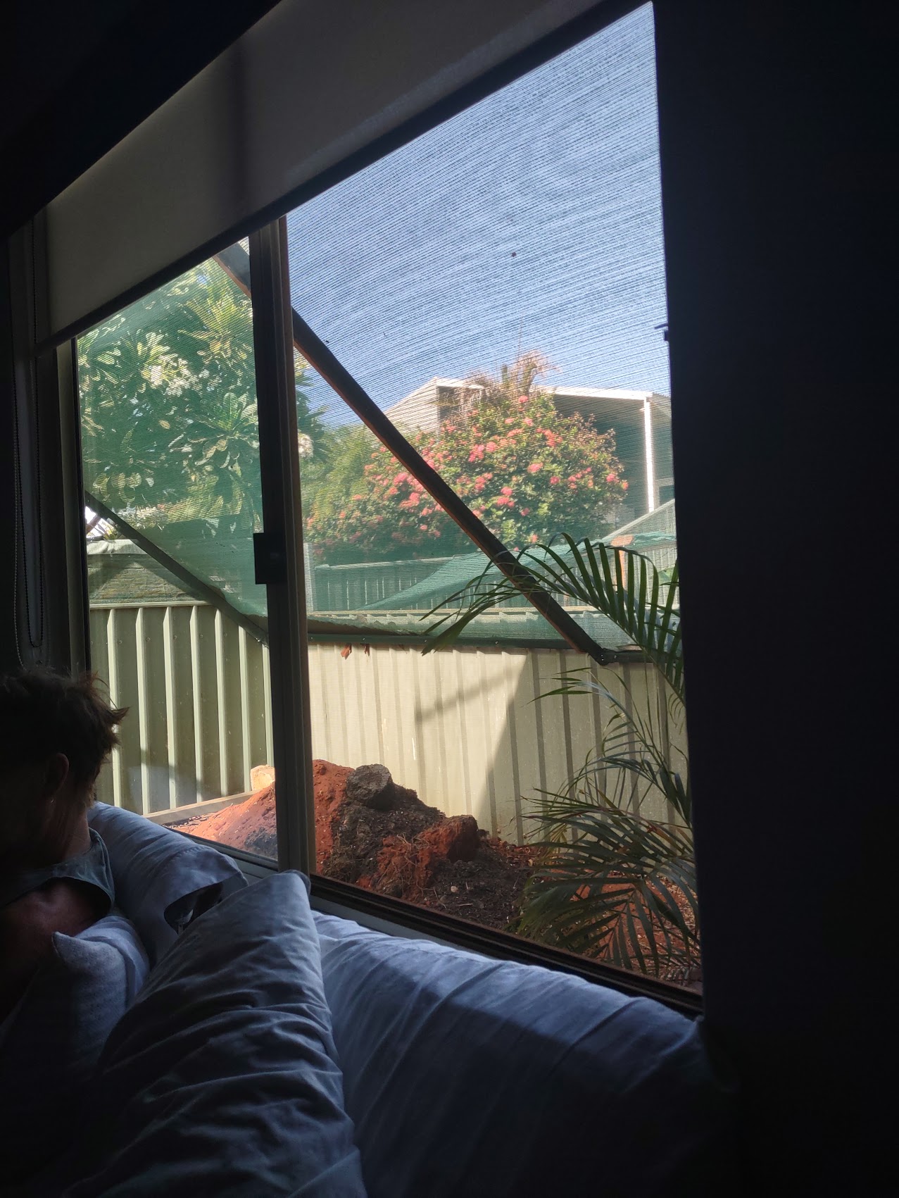
Area 51 (officially known as “Tim’s Place” on Airbnb) pretty much lived up to our expectations – very basic, almost (but not quite) comfortable (the word “Spartan” comes to mind). It had a decent kitchen (way too hot to cook indoors!), a sparsely furnished living area, a basic bath, and the least comfortable bed we’d slept in for a while. (Photos actually look much nicer than it actually felt.)
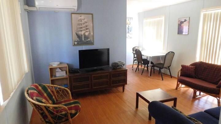
On the positive side, it had a laundry room in a shed behind, a large laundry drying rack (which turned into a windmill when loaded), and decent shaded outdoor seating area in the back with a barbie (that’s Australian for barbecue, but I’m betting you knew that one).

Although we didn’t see them the first night, we discovered that our local hosts were living in the unit next door which was fortunate as the Wi-Fi router (which we shared with them) was in and out quite a bit and, even then, the internet connection was very slow and spotty at best. Fortunately, we found a wonderful work spot with great Wi-Fi in town. (More later.)
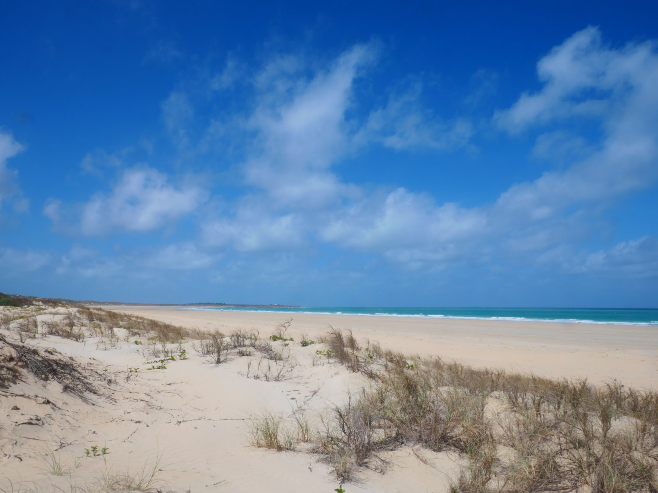
Jurien Bay
The first settlement in Jurien Bay was established in the 1850’s when a pier was constructed and it served as a temporary fishing village for about a century. Permanent residences were only built in the 1950s; however, the buildings were reportedly “only corrugated iron shanties instead of properly-built dwellings”. (We’re pretty sure that Area 51 was one of these!)
Initially the settlement struggled to grow due to a poor and unreliable water supply and the isolation of the area at that time, but the abundance of crayfish (also known as Western Rock Lobster) in the area helped drive the town’s development. New jetties, factories and an airstrip were constructed so that crayfish goods could be flown south to Perth. With the construction of Indian Ocean Drive (the coastal route linking it to Perth) in 2010, Jurien Bay has become an increasingly popular tourist destination.
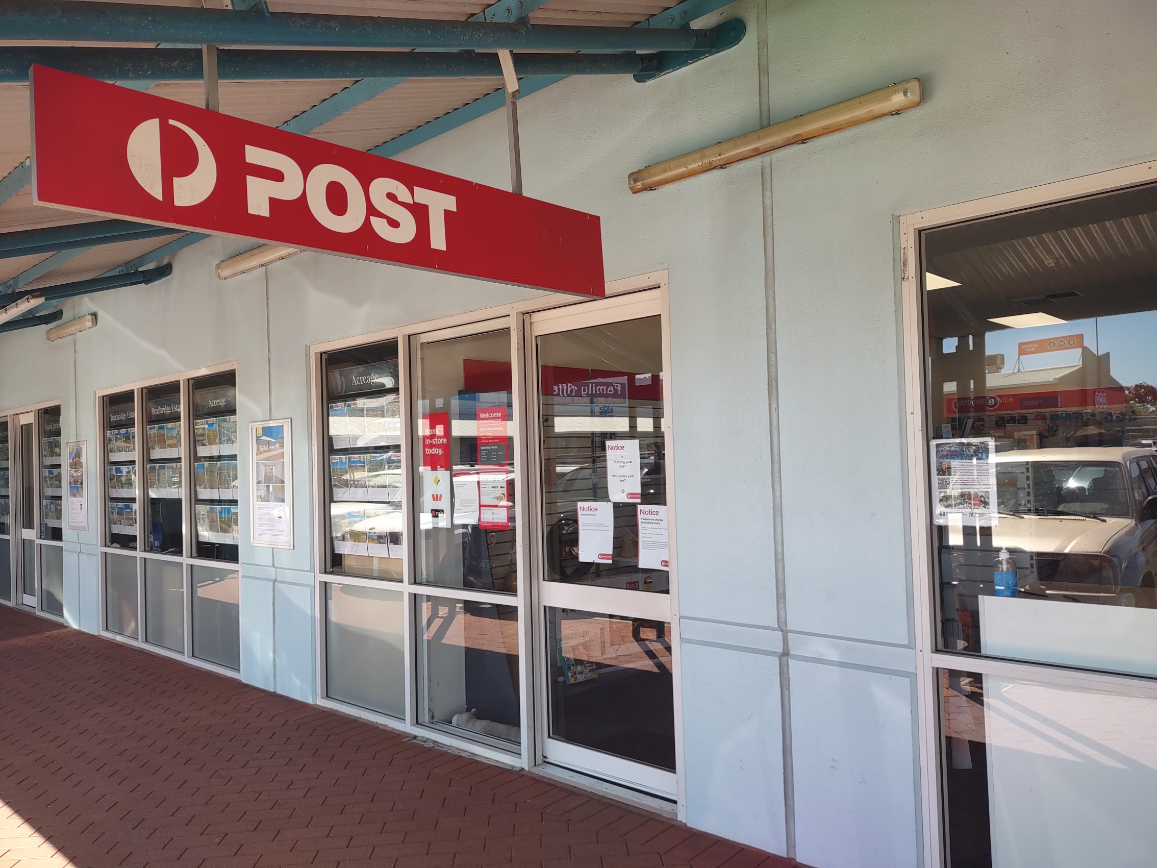
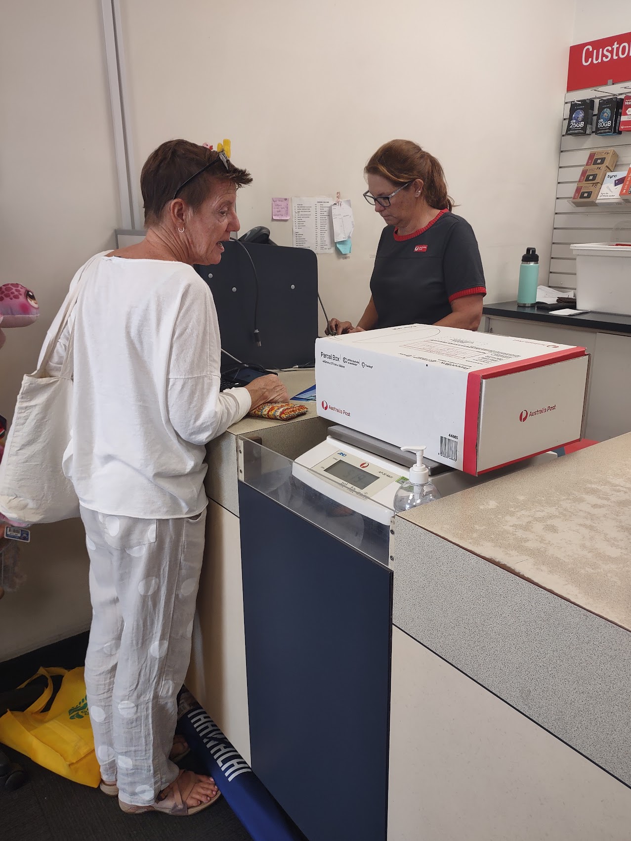
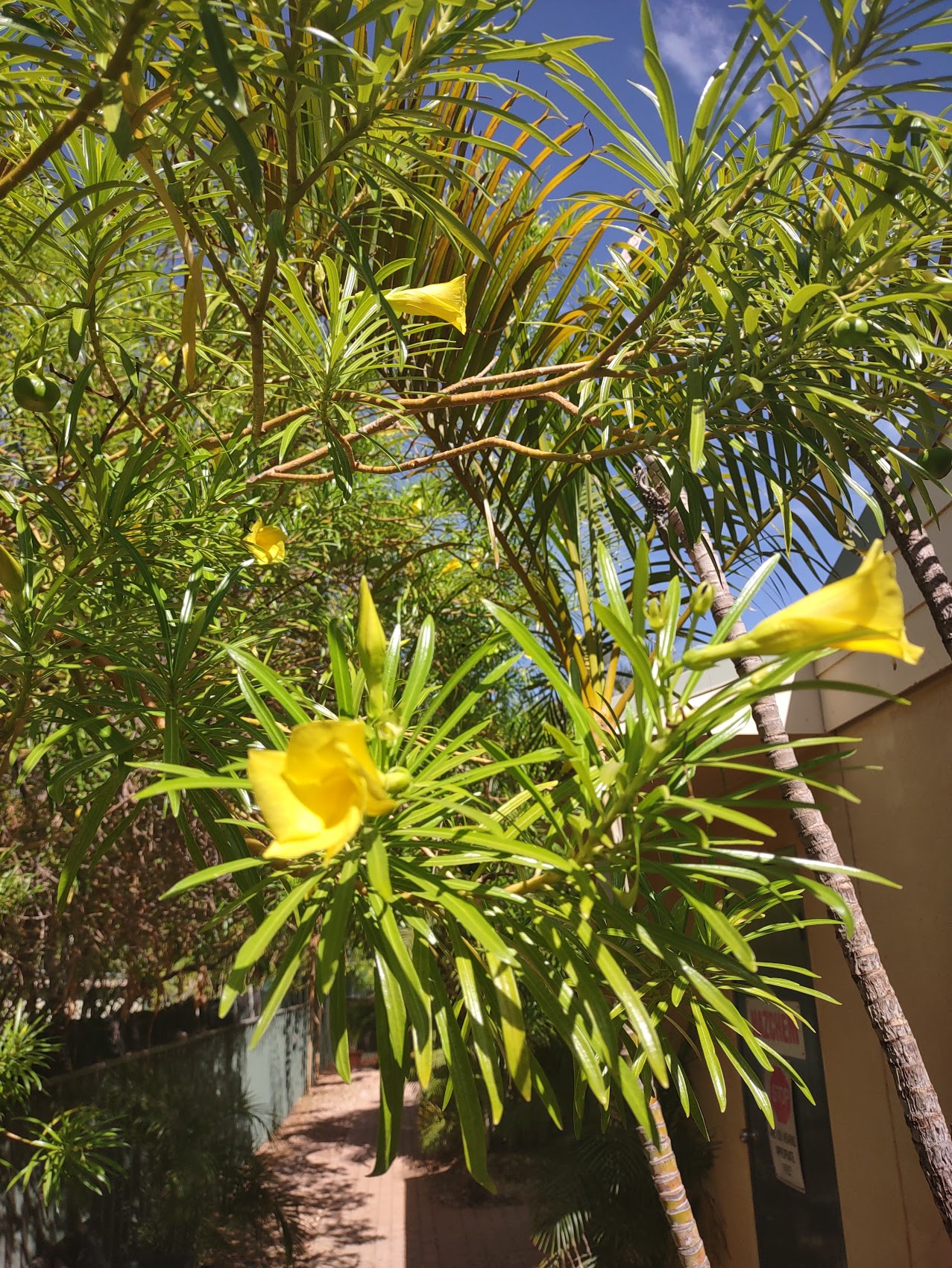
Although the town of Jurien Bay is pretty small (less than 2,000 people), it did have a bit of a town center with pretty much everything one might need, including an IGA grocery store, a BWS (Beer, Wine, and Spirits) bottle shop, and a few restaurants and shops. It also had a post office which inevitably led to us sending yet another package home to our daughter Emily!

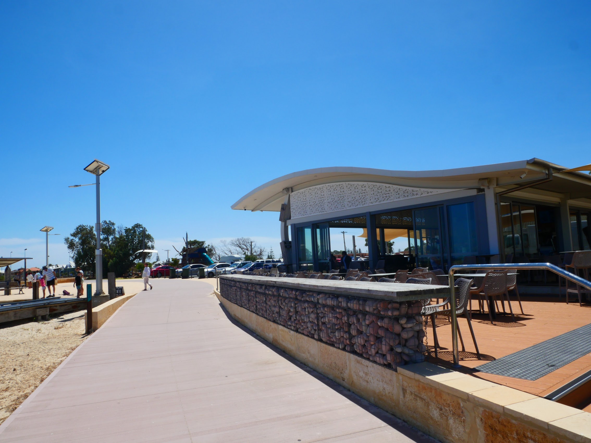
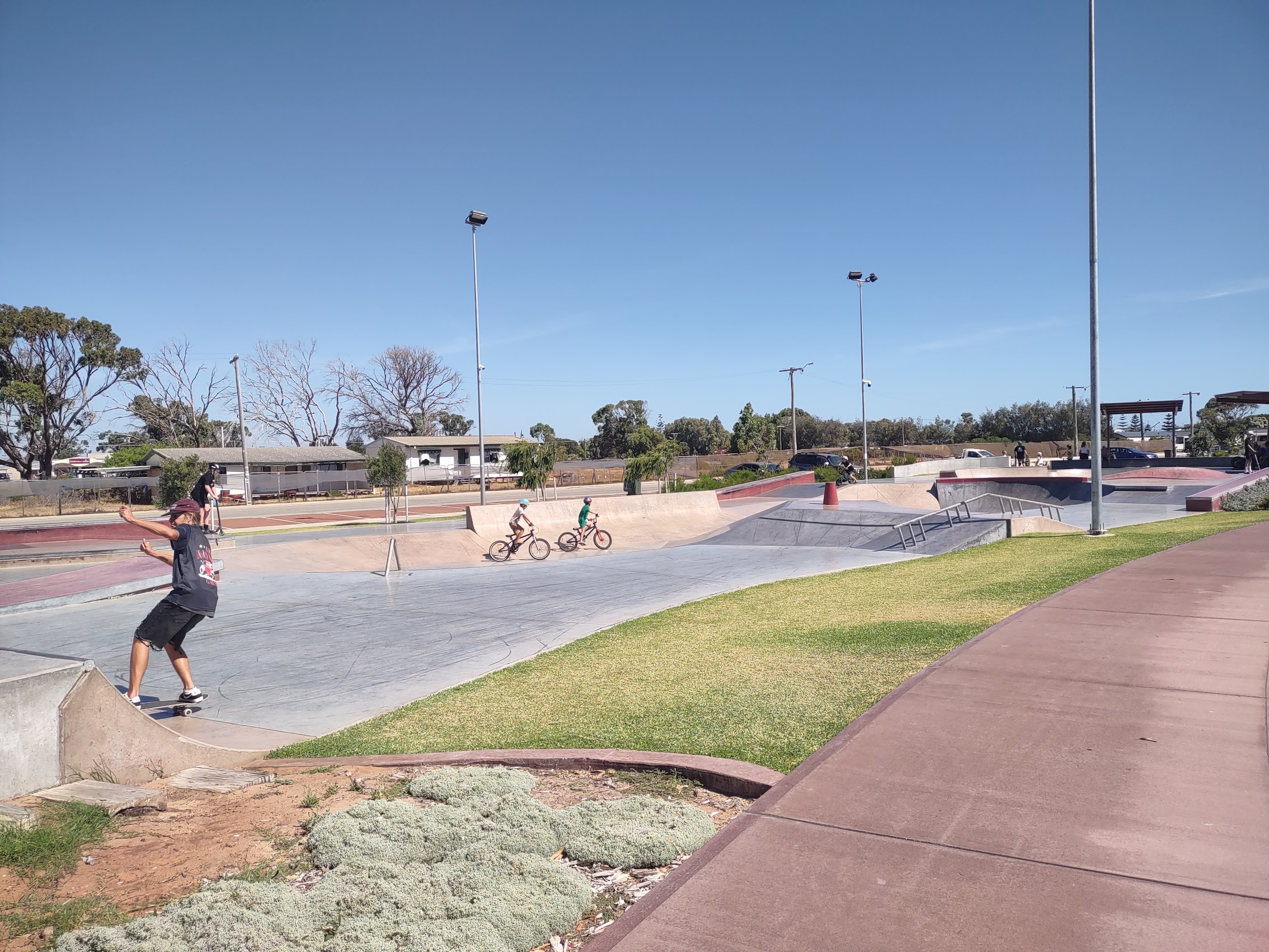
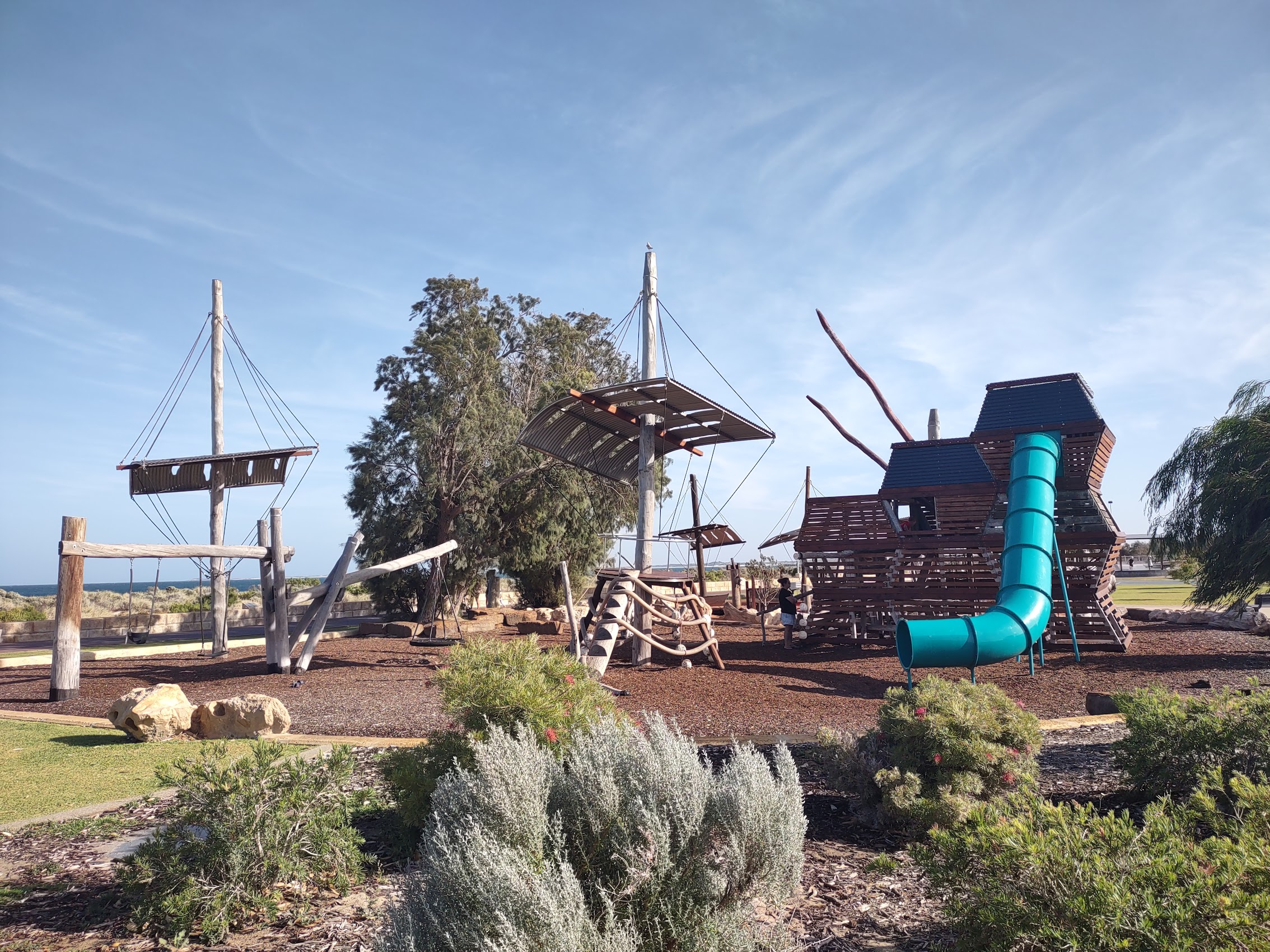
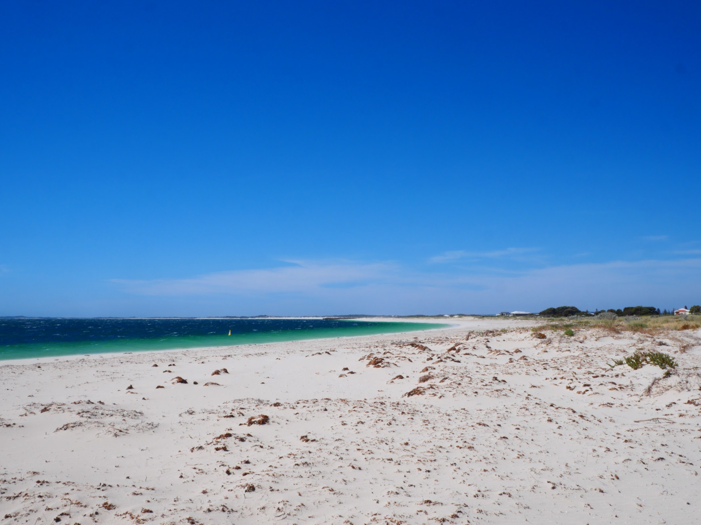
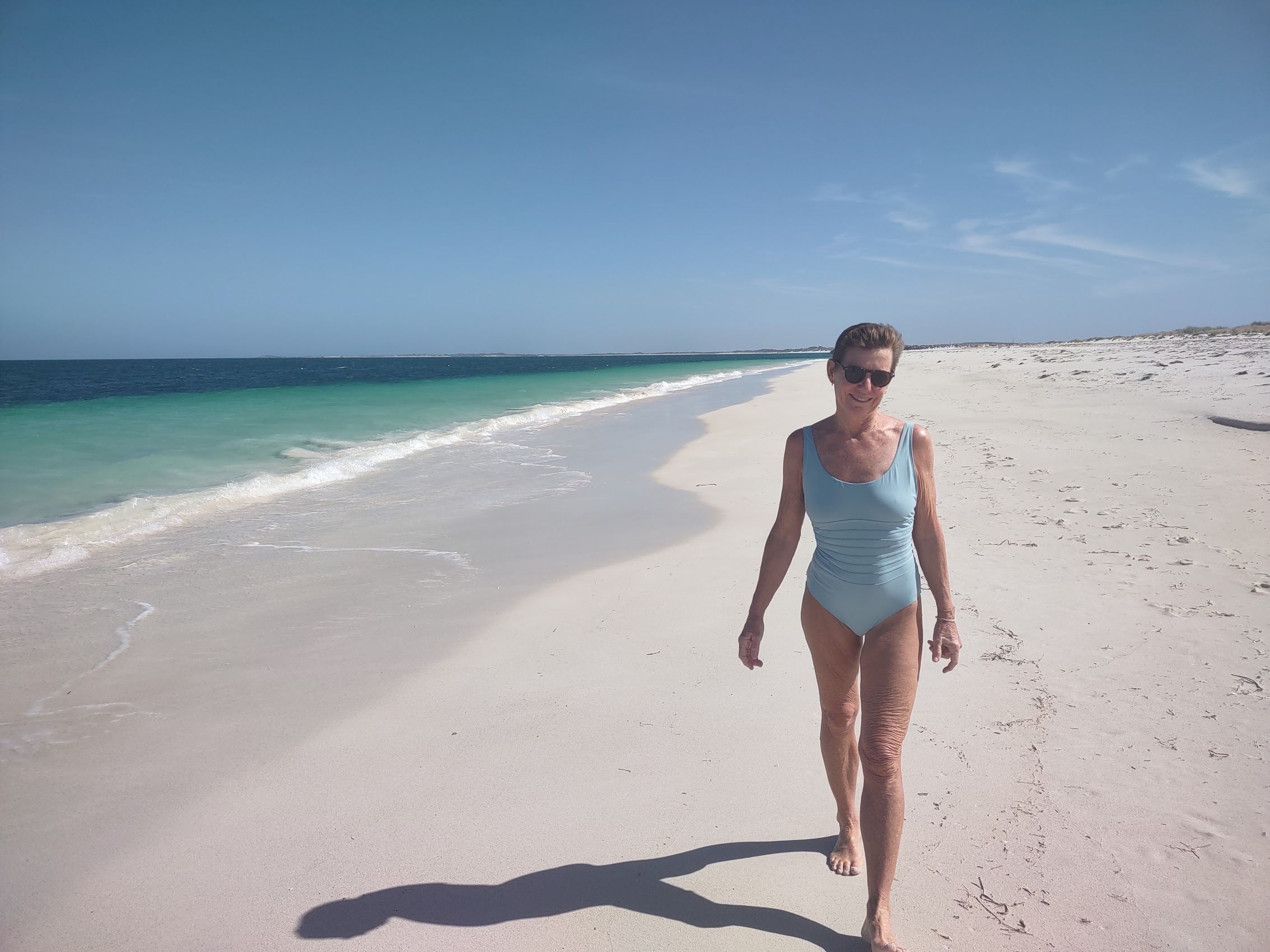
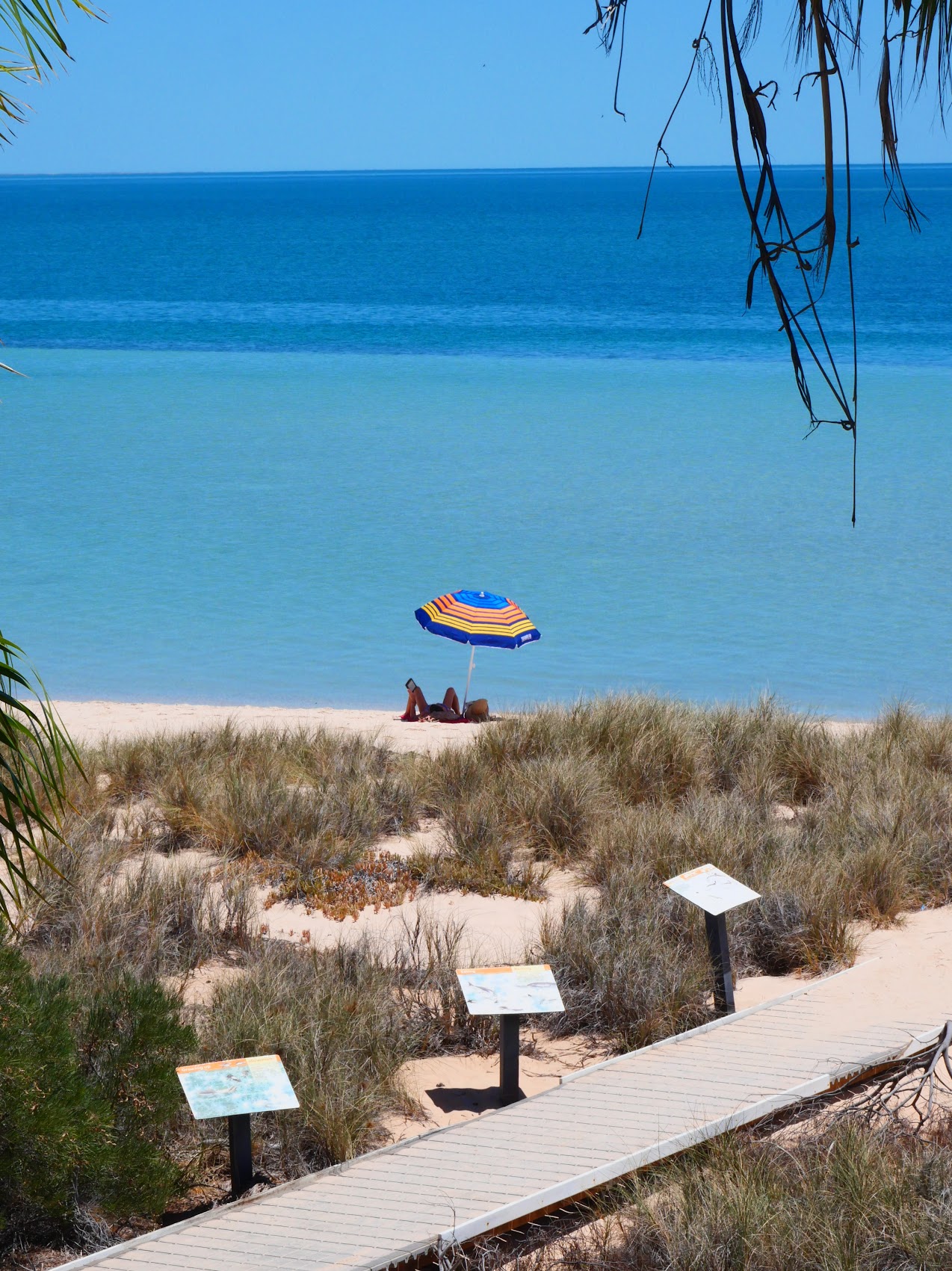
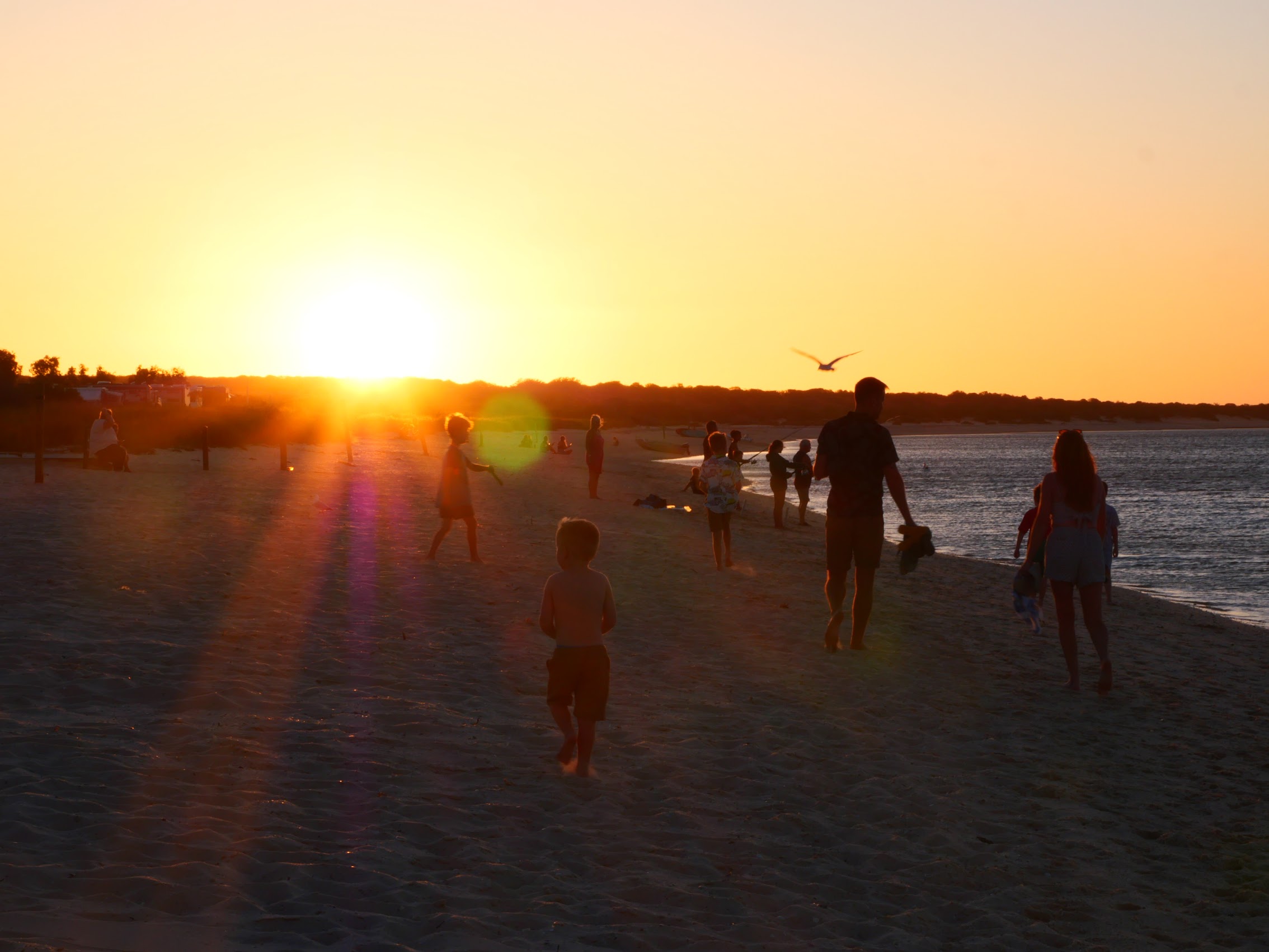
The town has a beautiful beach with a jetty which arcs in one direction while the coastline, which stretches off to the north, curves in the other. There is a very nice beach-side cafe, parks, and playgrounds (even another skate park!) with a small beach-front promenade which winds between them.
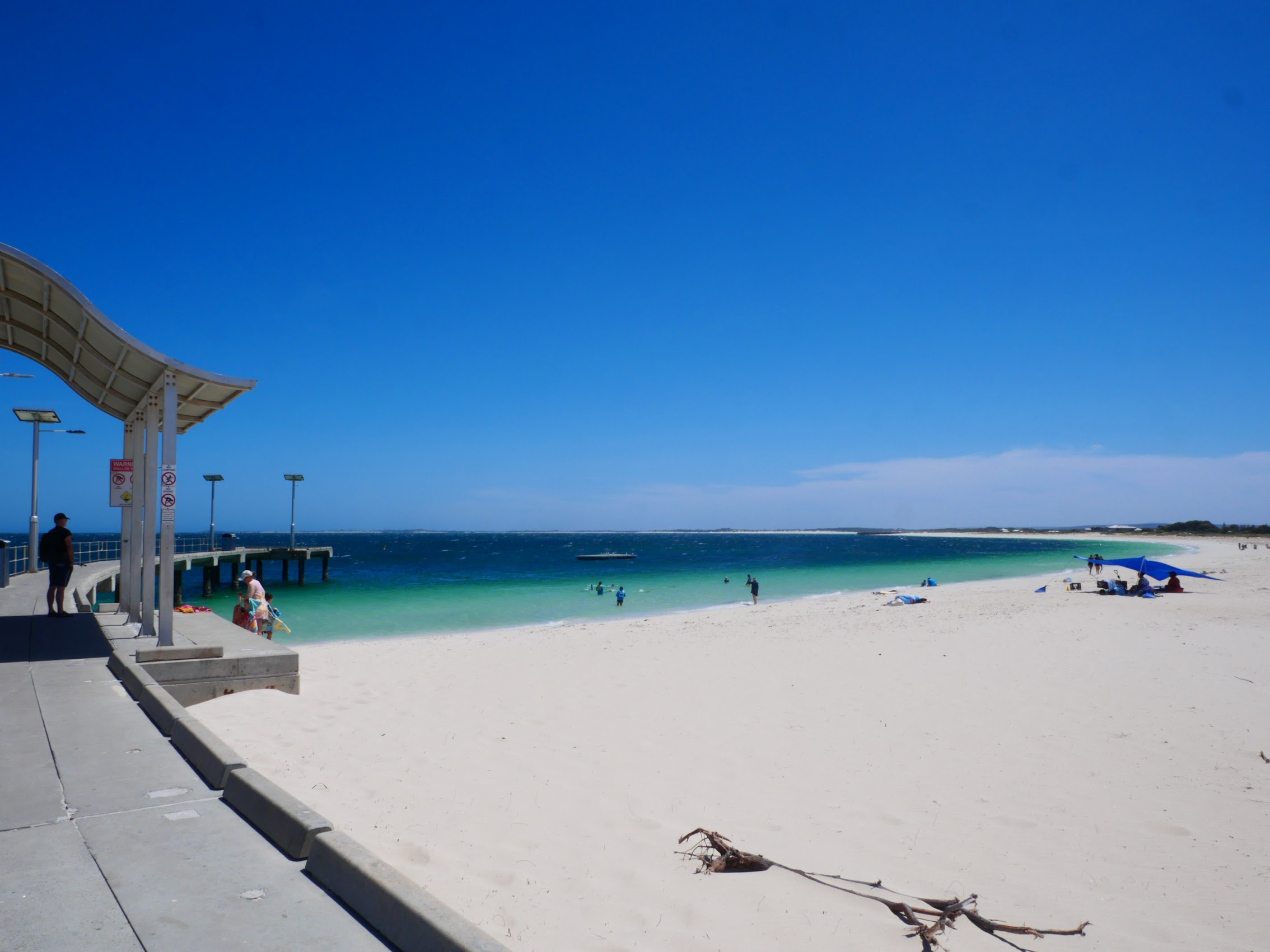
We spent a good part of our first day exploring town and then swimming and sunbathing on the beach which, thanks to it being off-season, was pretty sparsely populated. Temperatures during the day were in the 80’s, but it was extremely arid and the intense sun (30 degrees latitude – same as Jacksonville) made it seem much hotter.


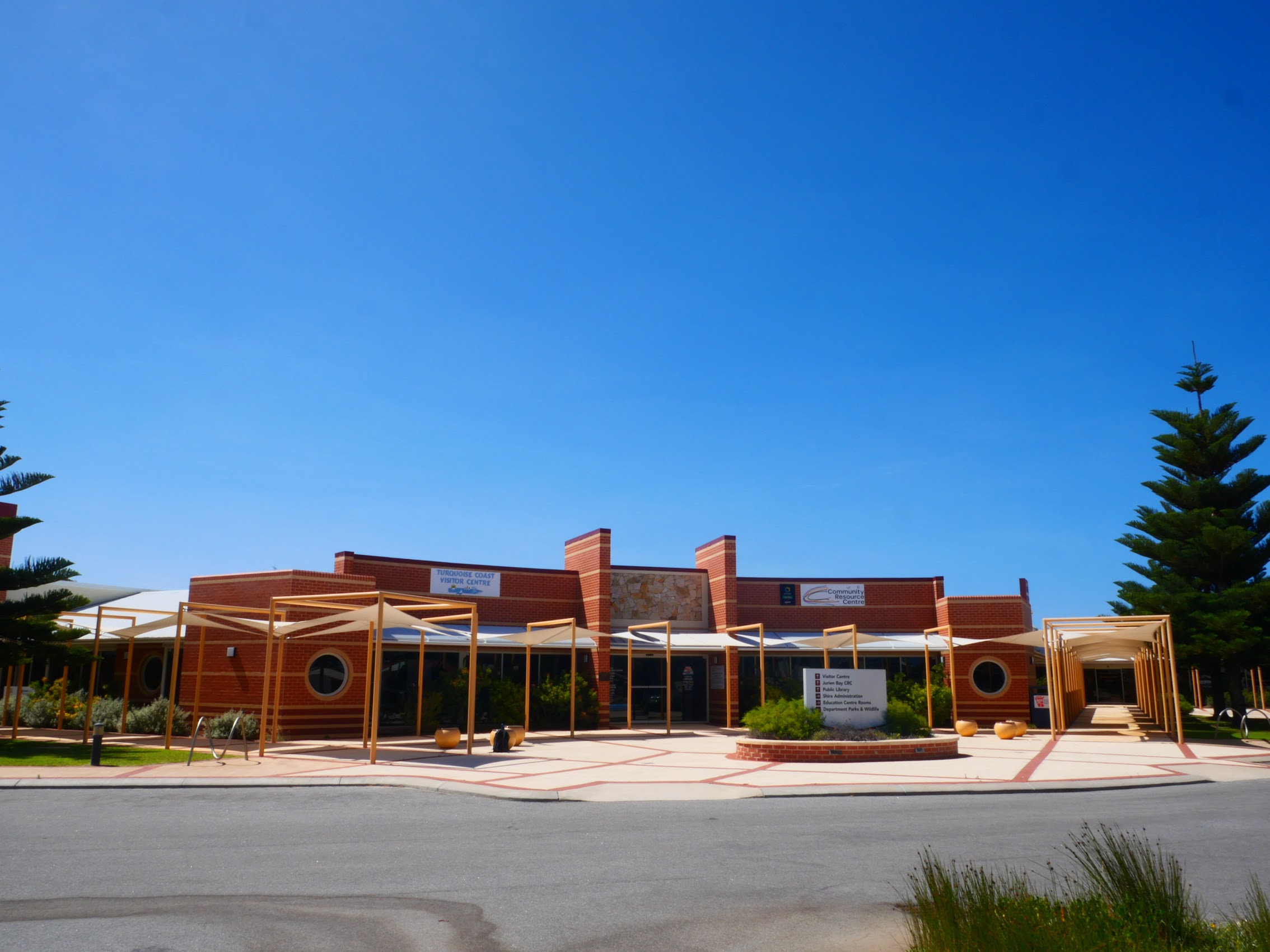
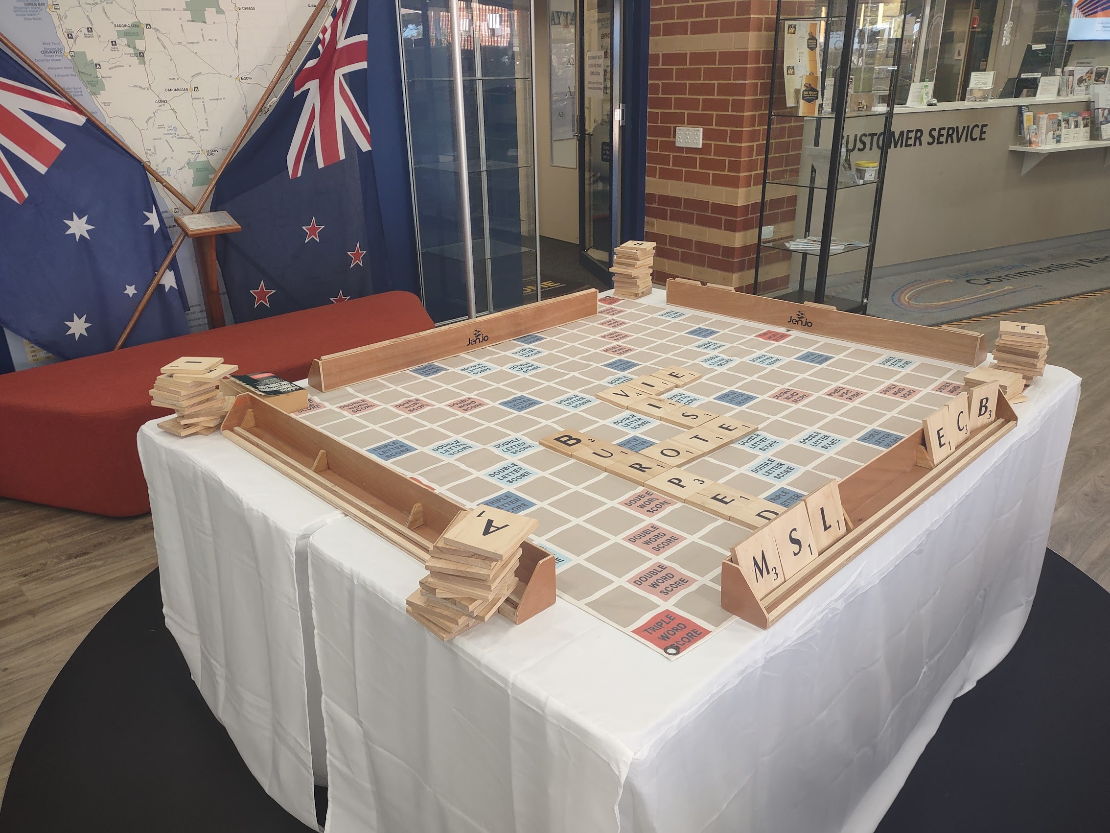
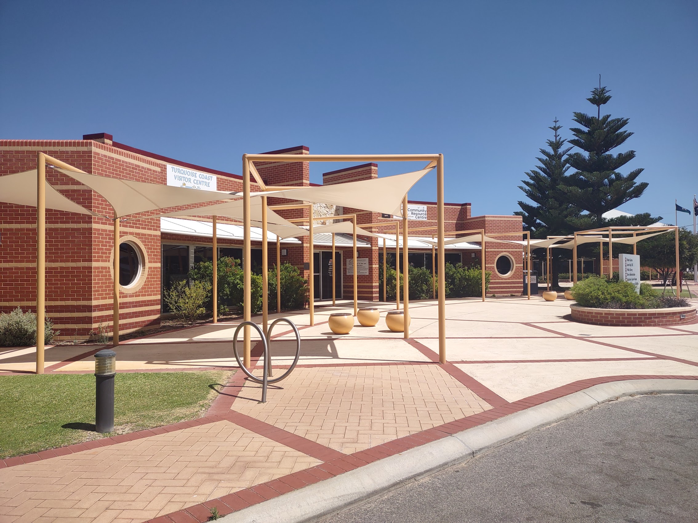
On our first walk around town, we discovered the Turquoise Coast Visitor Center, which, in addition to brochures, maps and other tourist information, also had a small lending library with a comfortable seating area, a workroom, and good free Wi-Fi (not to mention the biggest Scrabble board we had ever seen). The staff there was incredibly friendly and helpful and, as we were enquiring about local tours, they actually introduced us to Kassandra Ziverts (“Kassie”), a local tour guide who had just happened to stop in while we were there. (I did say it was a small town!)

We had actually stopped earlier at Kassie’s place (Jurien Bay Adventure Tours) in hopes of renting some bicycles (which we later did, but it turned out to be too windy to ride them!) and so were very happy to make her acquaintance. We discussed tour options with Kassie and signed on for a private tour the next day at a very reasonable price.
Luckily for us, we were able to use the Turquoise Coast Visitor Center as our base of operations on day two of our stay in Jurien Bay as we had to check out of Area 51 by Noon and our bus wouldn’t be picking us up until after 10:00 PM. (With the HOHO bus, your pickup time is usually the same as the time you are dropped off – something that would be a particular challenge at our next stop.) We were able to hang out at the Visitor Center and use the Wi-Fi (and even play a little scrabble!) until 4 PM when Kassie picked us up for our excursion.
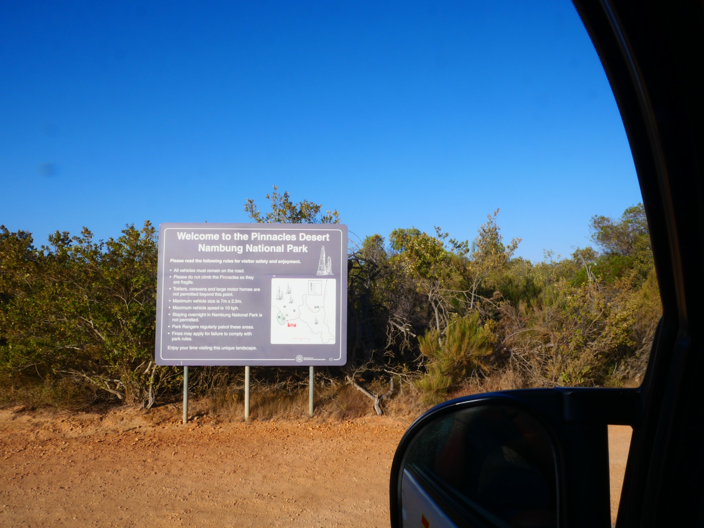
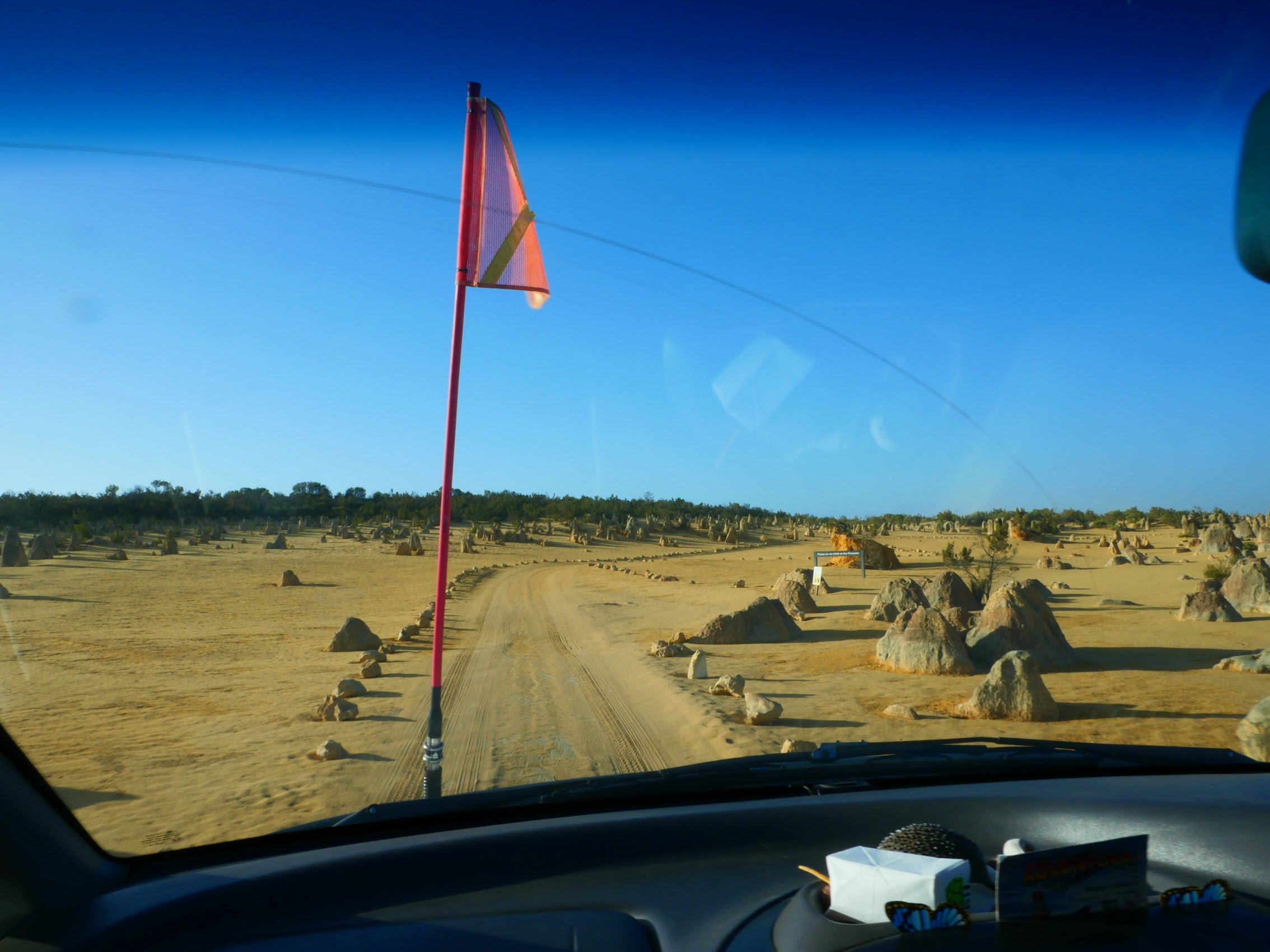
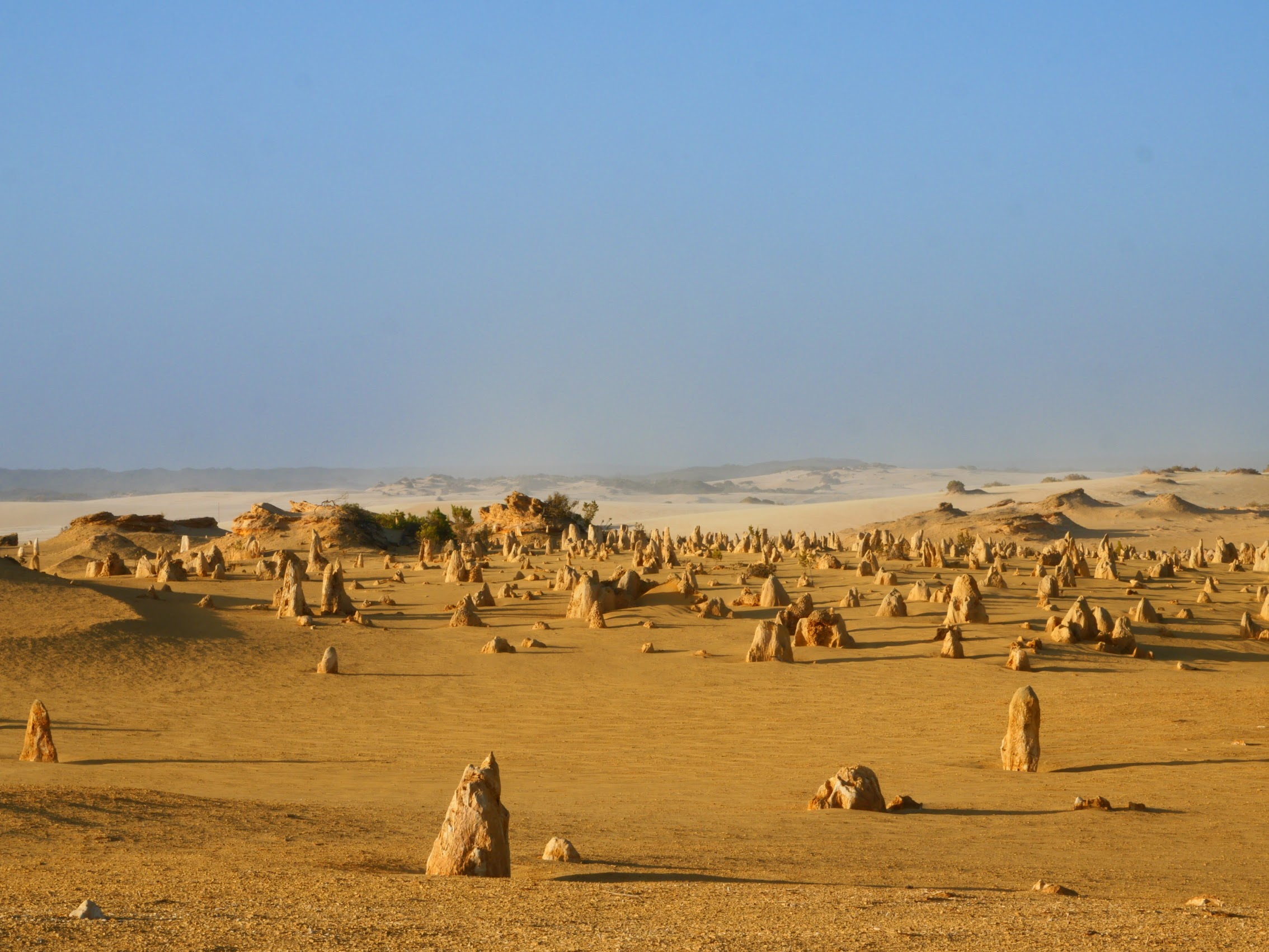
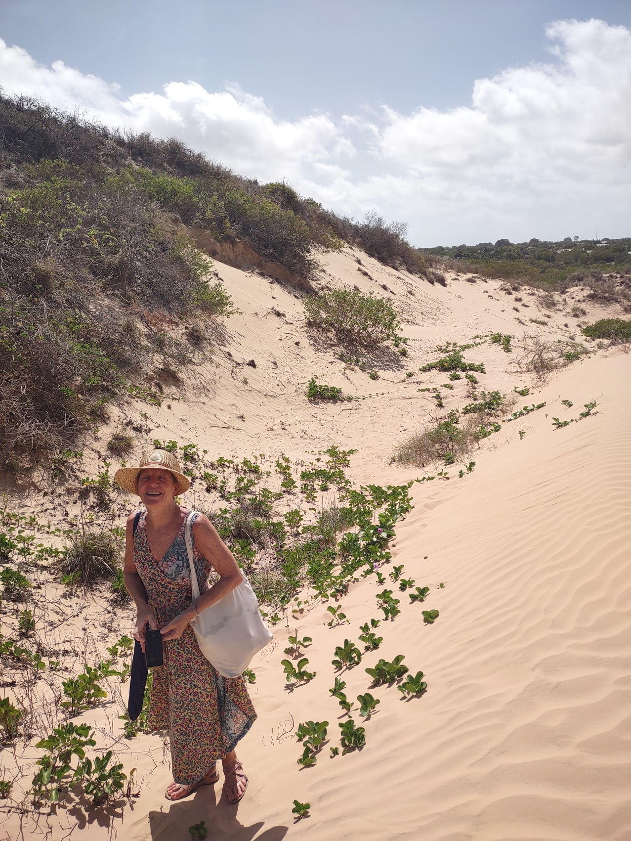
The Pinnacles Desert
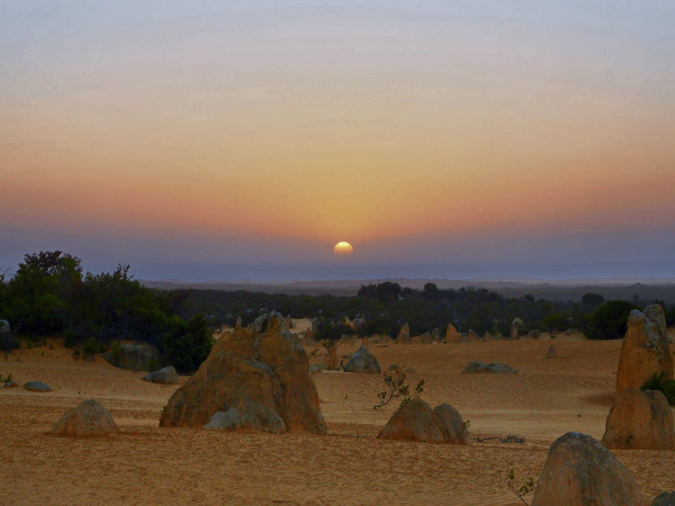
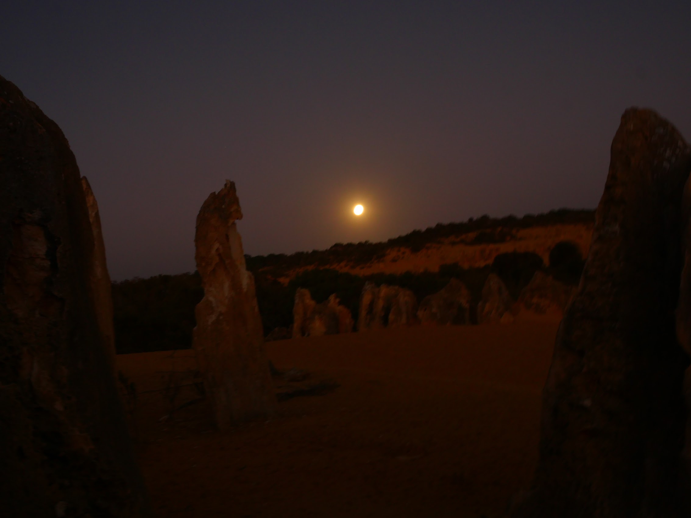
We had made arrangements with Kassie to visit the Pinnacles Dessert, an area in the Nambung National Park about forty kilometers south of Jurien Bay. Kassie recommended going late in the day so that we could see both sunset and moonrise from the Park (there was a full “Wolf Moon” that night), so she picked us up at the Visitors Center at 4 PM and we headed south back down the coastal highway.
Along the way, we swung through the town of Cervantes (another stop on the HOHO bus) and also visited Lake Thetis to see the stromatolites. If you’ve never heard of them before (we hadn’t), stromatolites are layered sedimentary formations created mainly by photosynthetic microorganisms such as cyanobacteria, one of the earliest forms of life on this planet dating back billions of years. These microorganisms produced adhesive compounds that cemented sand and other rocky materials to form mineral “microbial mats”. In turn, these mats build up layer by layer, growing gradually over time.
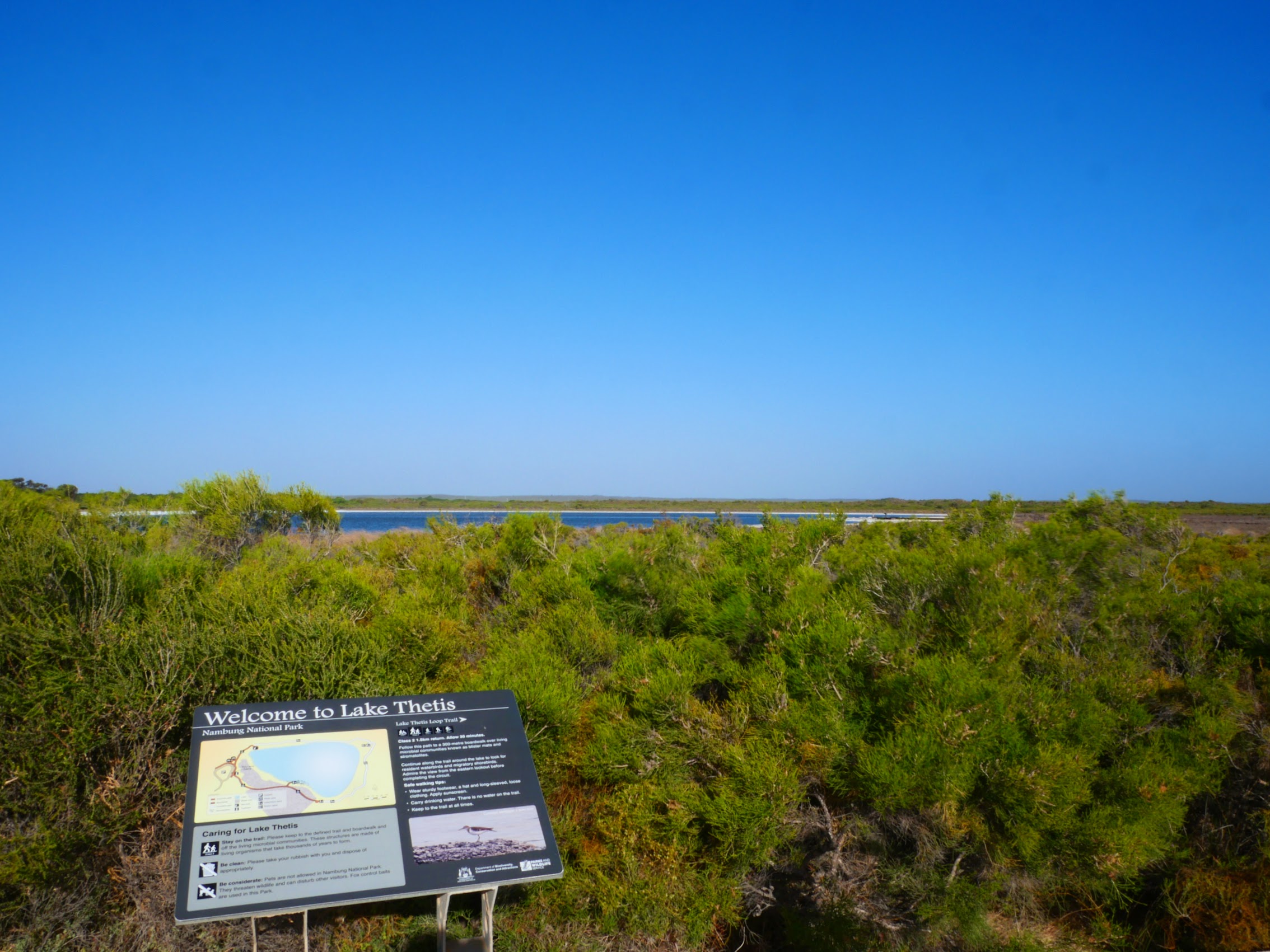
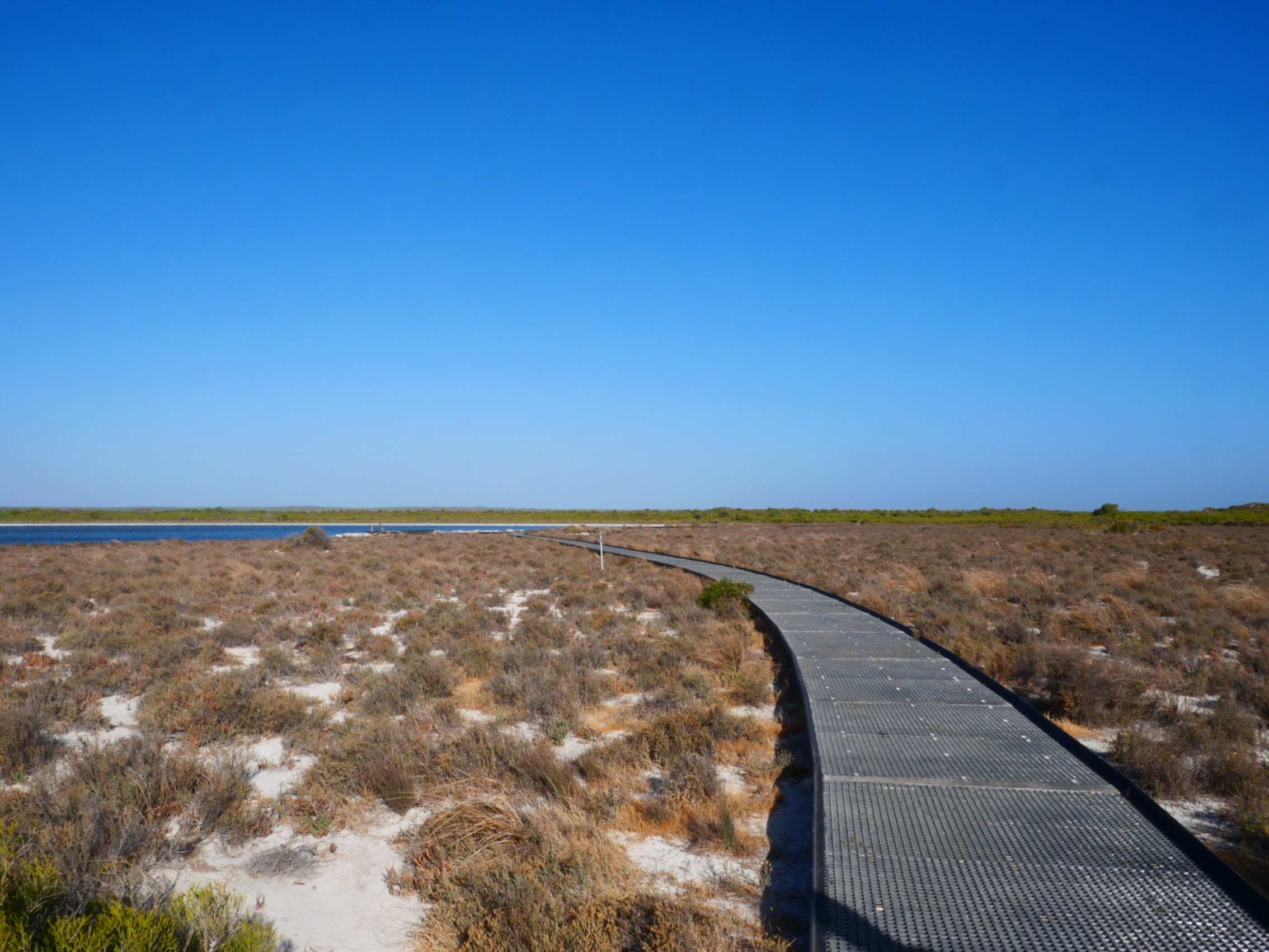

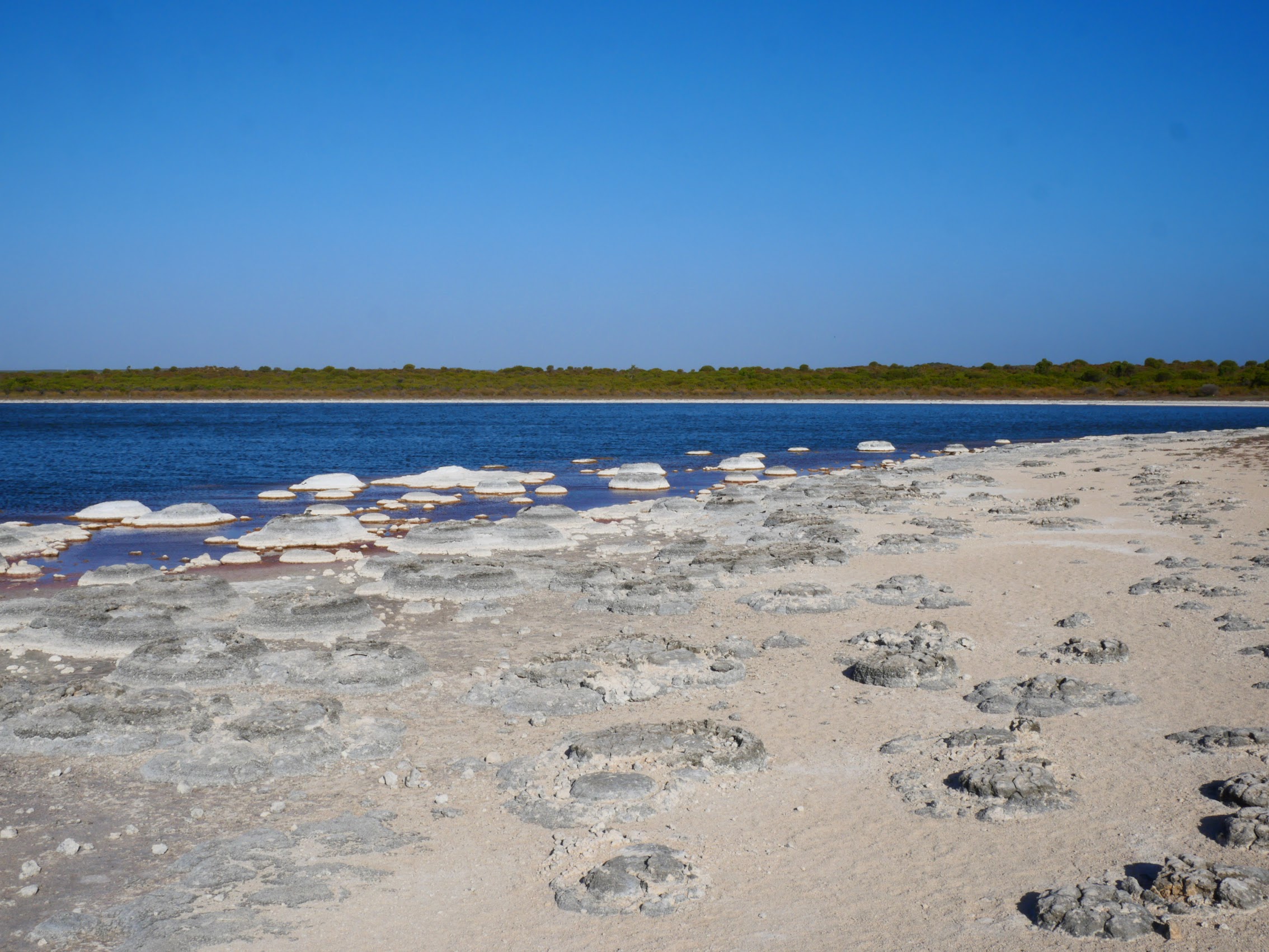
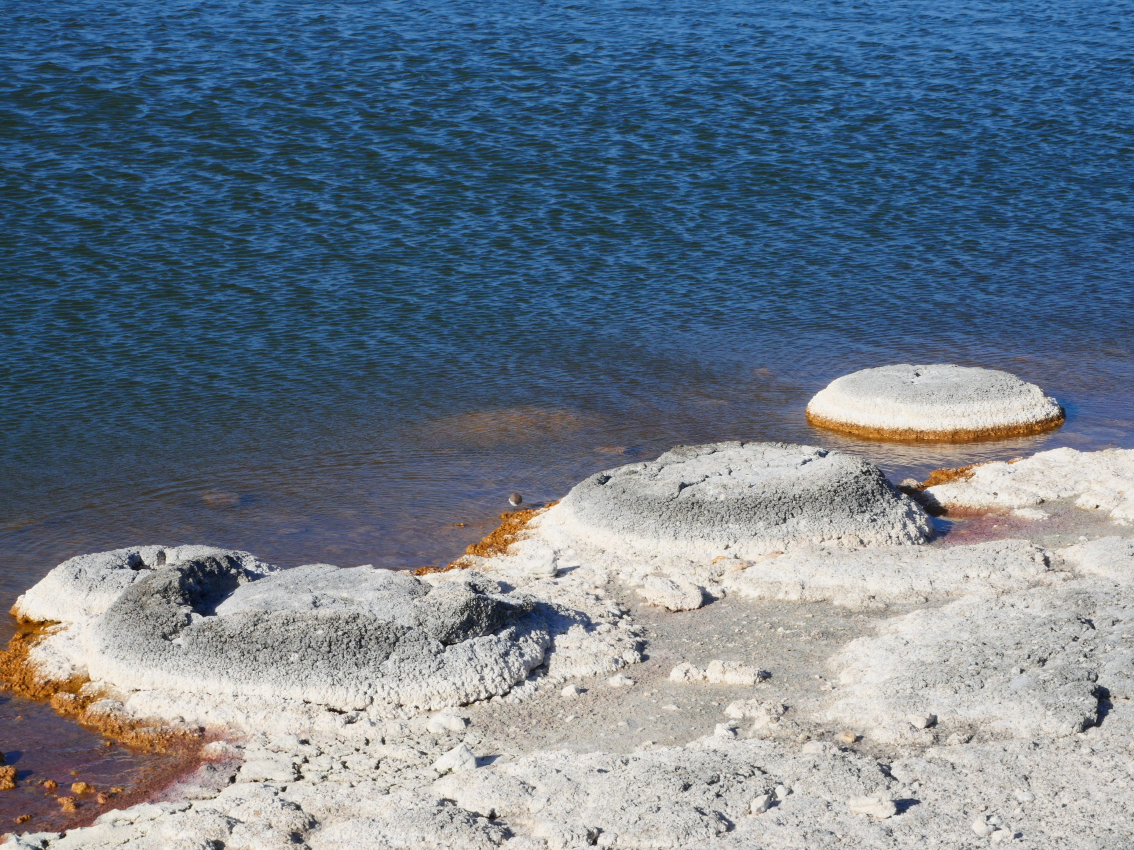
Stromatolites were believed to exist only in fossil form until 1961 when living examples were discovered in some remote areas of Western Australia, one of which is Lake Thetis. While I must admit, the sight of them was a bit underwhelming, there was still something quite exciting about it. As Bill Bryson put it in his book:
“So it’s not the sight of stromatolites that makes them exciting. It’s the idea of them – and in this respect they are peerless. Well, imagine it. You are looking at living rocks – quietly functioning replicas of the very first organic structures ever to appear on earth. You are experiencing the world as it was 3.5 billion years ago – more than three-quarters of the way back to the moment of terrestrial creation. Now if that is not an exciting thought, I don’t know what is”.
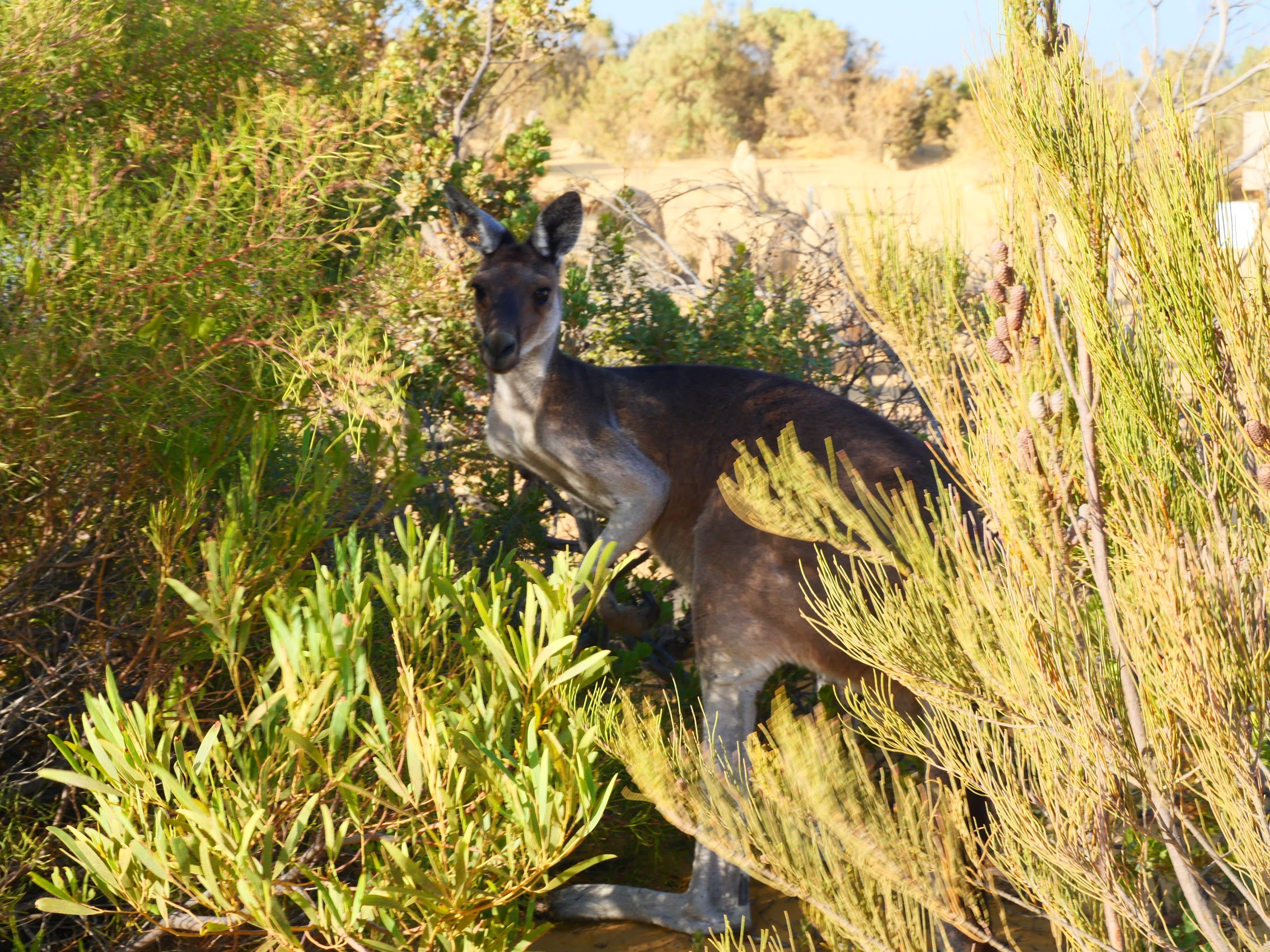
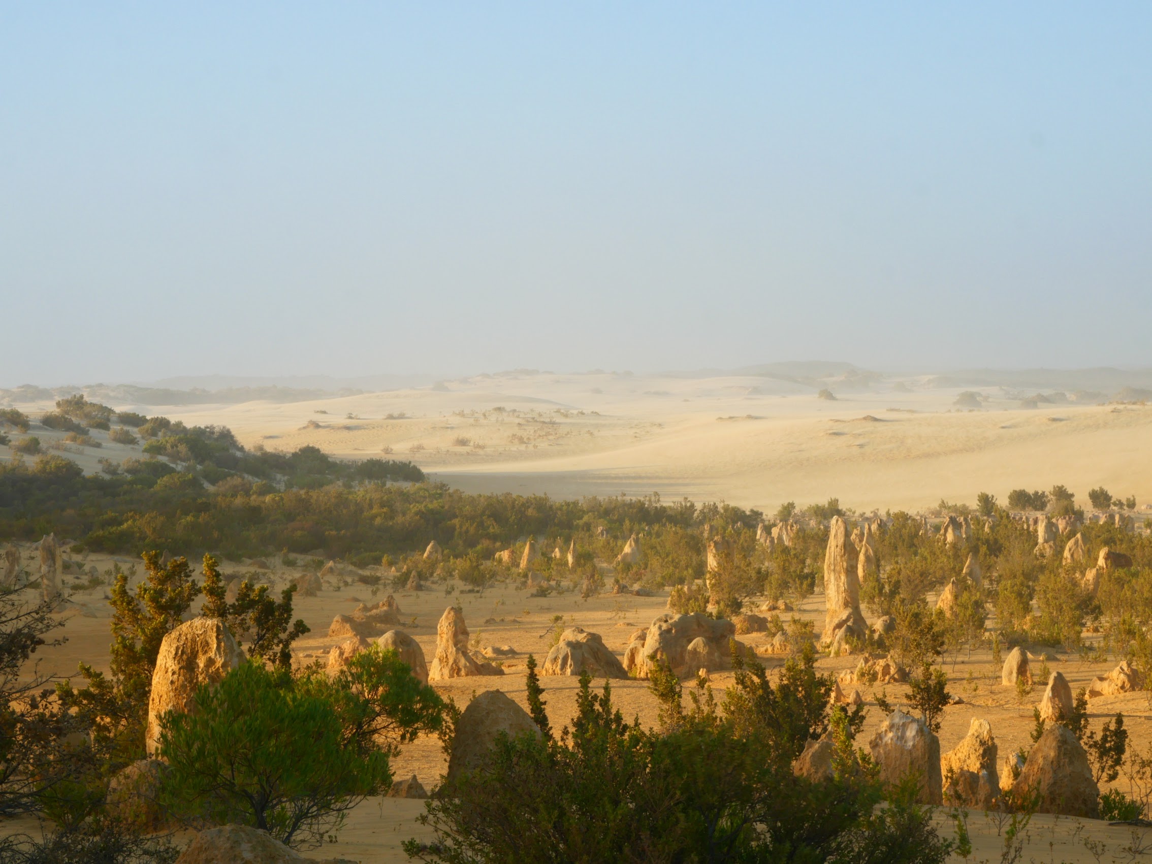
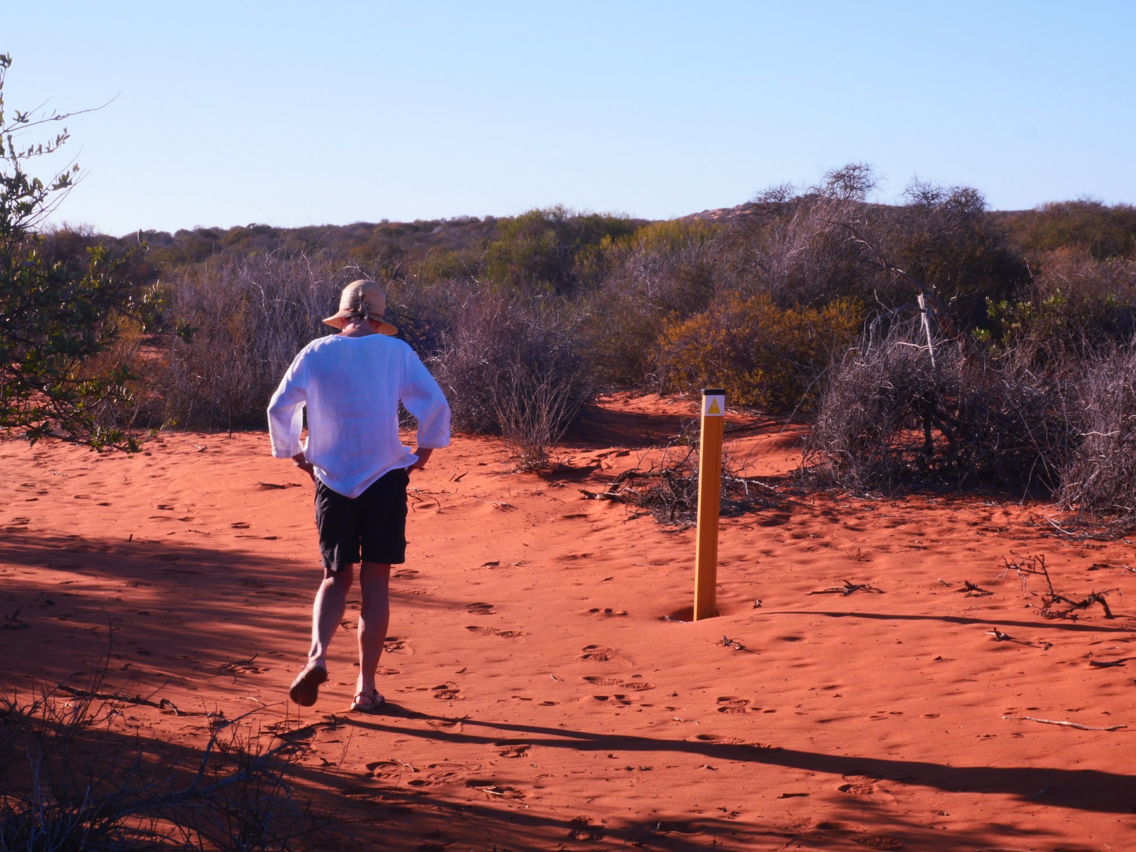
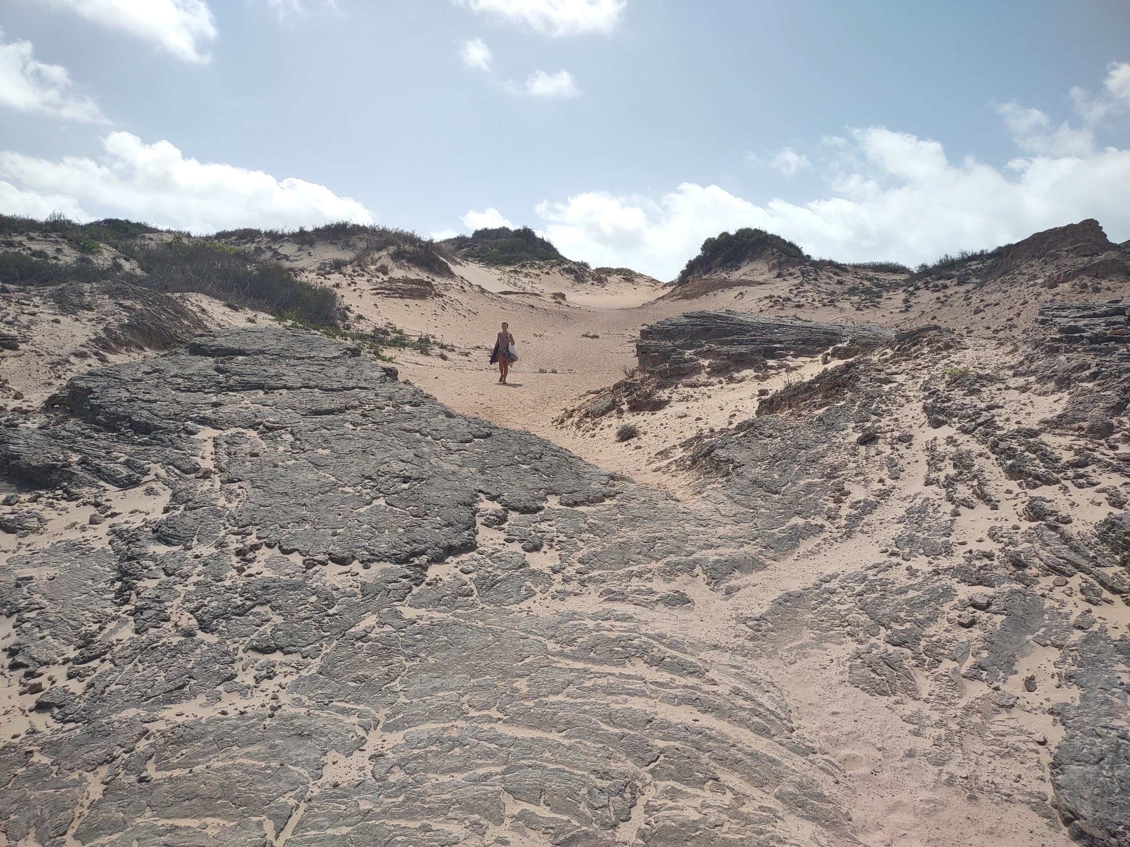
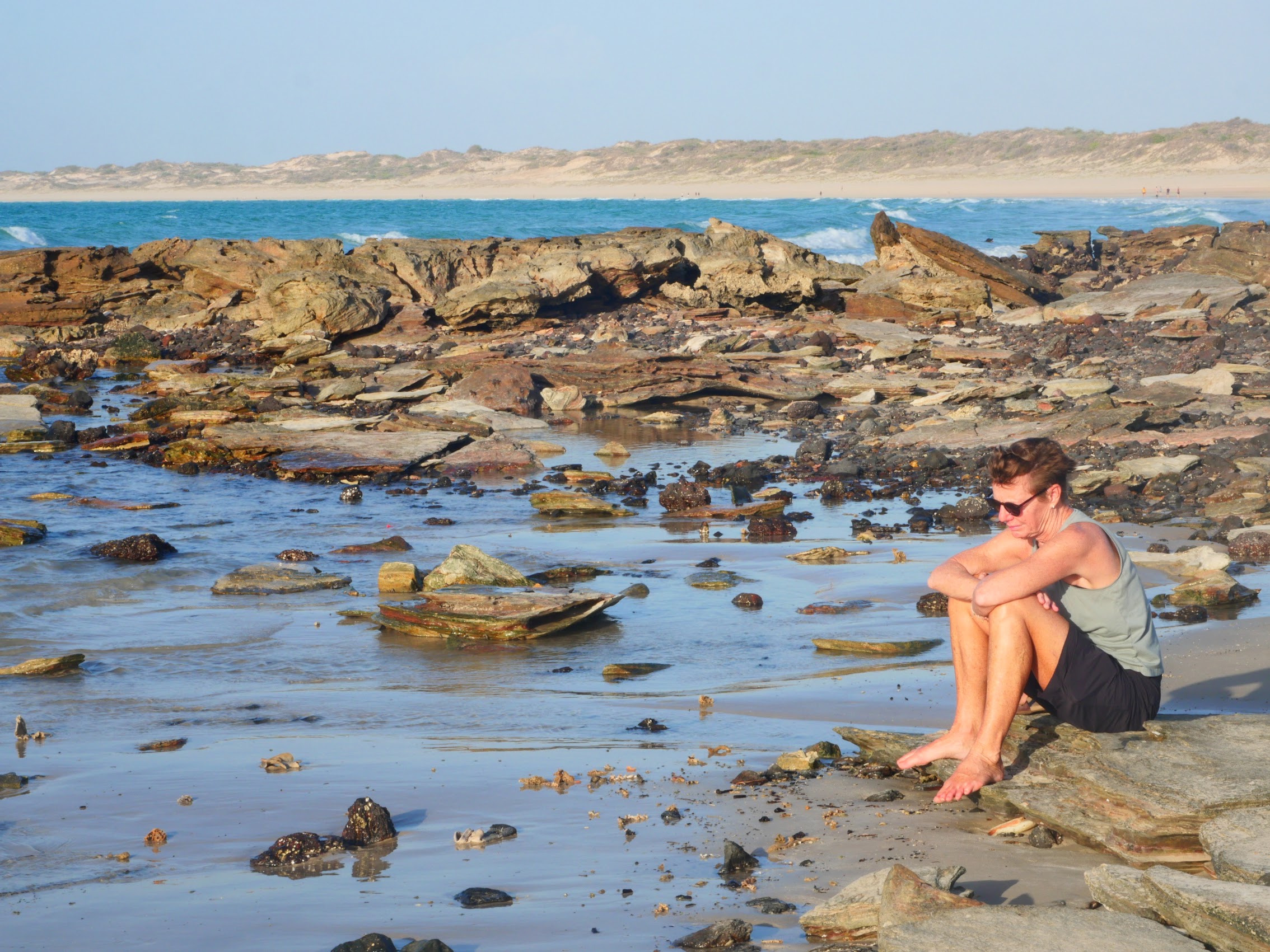
From Lake Thetis we continued south for about another 20 kilometers to the Nambung National Park. As we were arriving late in the afternoon, most of the day trippers were on their way out and we pretty much had the whole place to ourselves. At our first stop after entering the park, we spotted a kangaroo in the brush nearby who for some reason, rather than run away, stayed in place and seemed to be as interested in me as I was in it. Closest encounter yet! (And probably as close as I cared to get.)
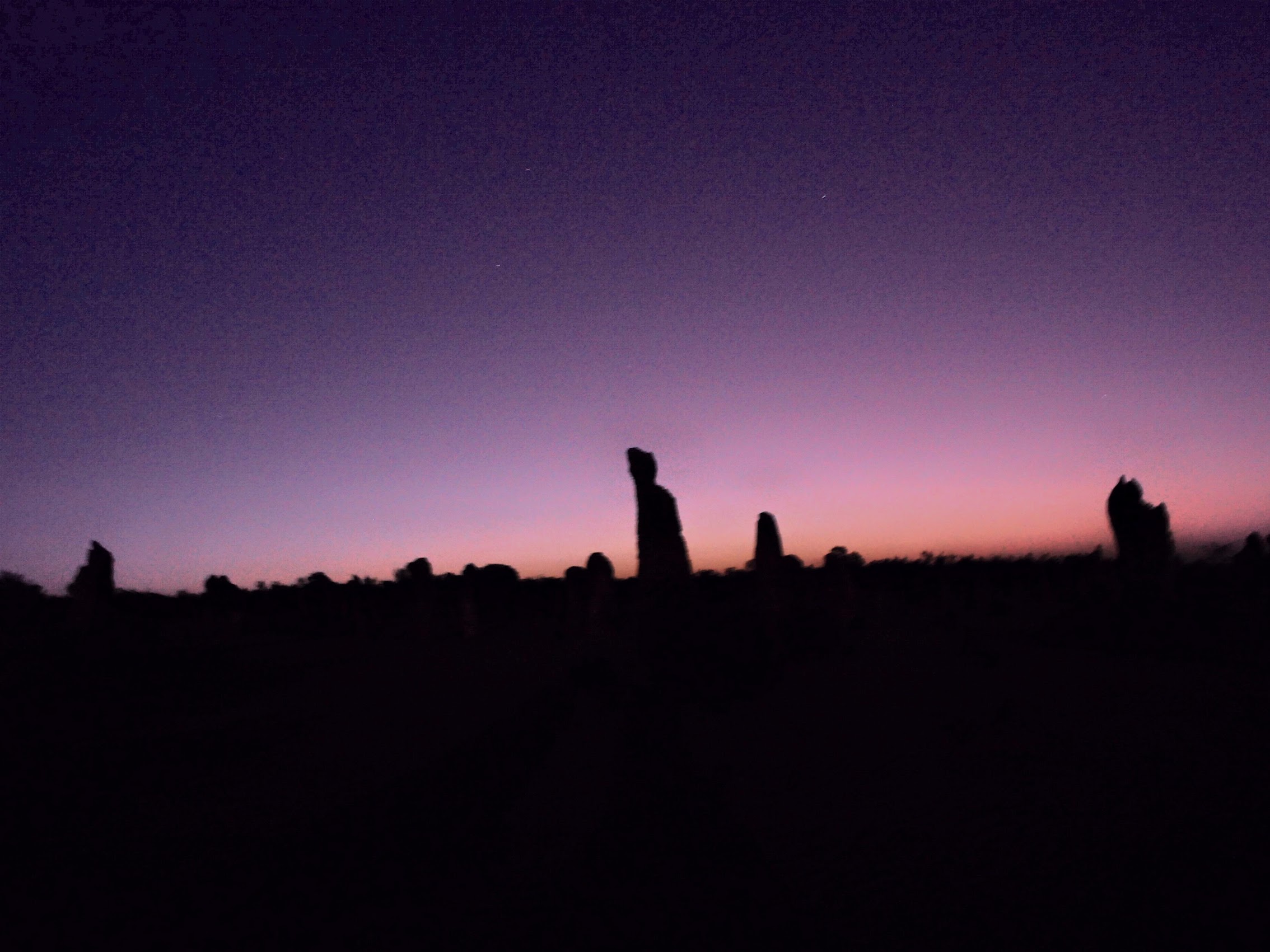
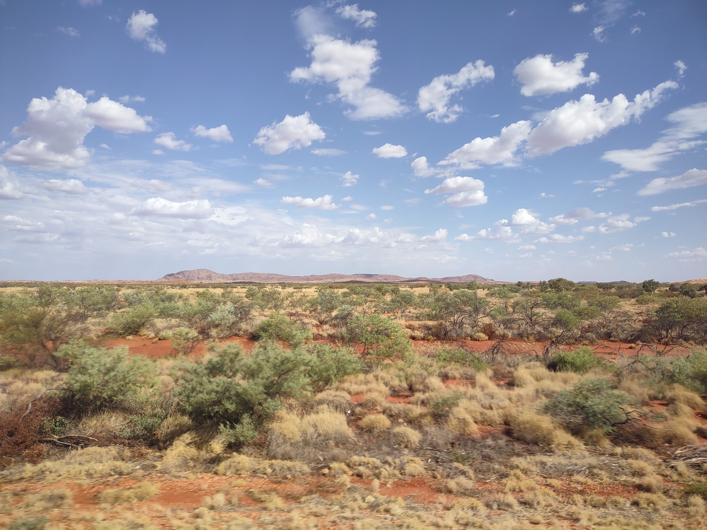
From there we wandered around through more or less defined tracks in the desert (were they not lined with rocks, they would be pretty much indistinguishable from the surrounding landscape), stopping here and there to take in this amazingly otherworldly landscape.
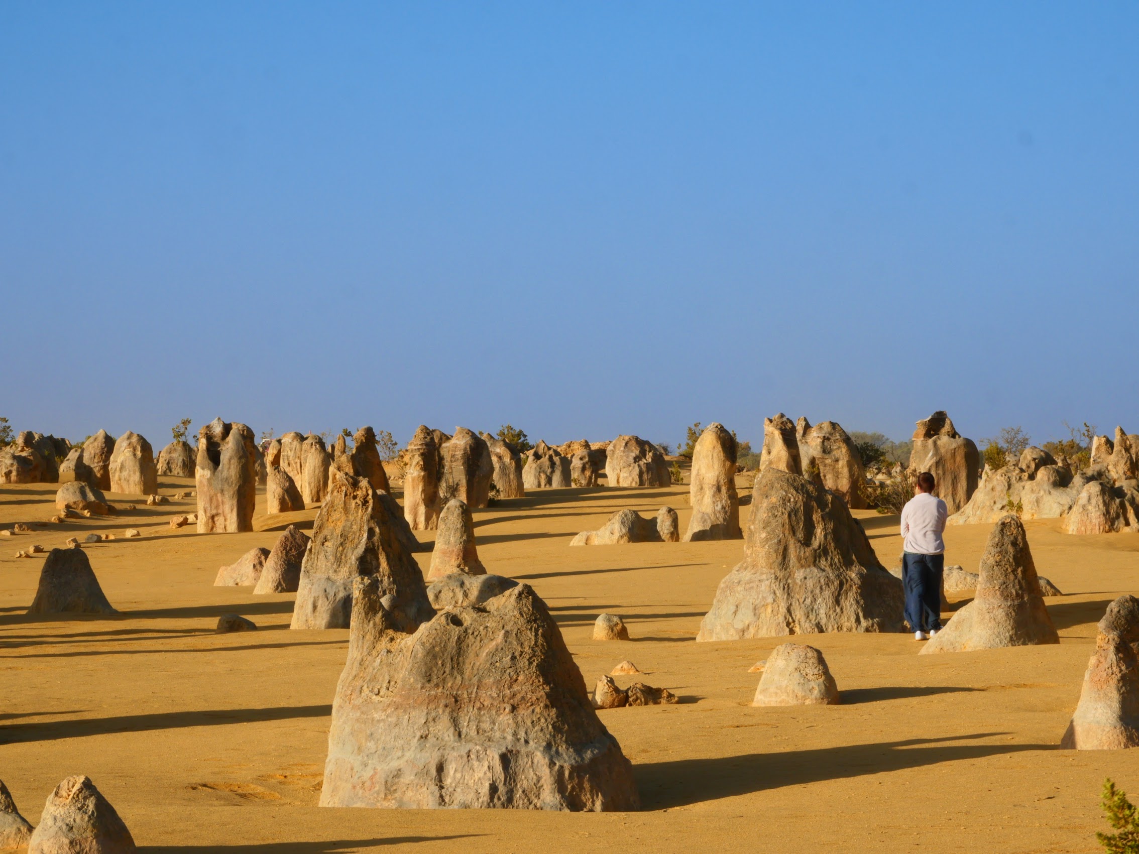
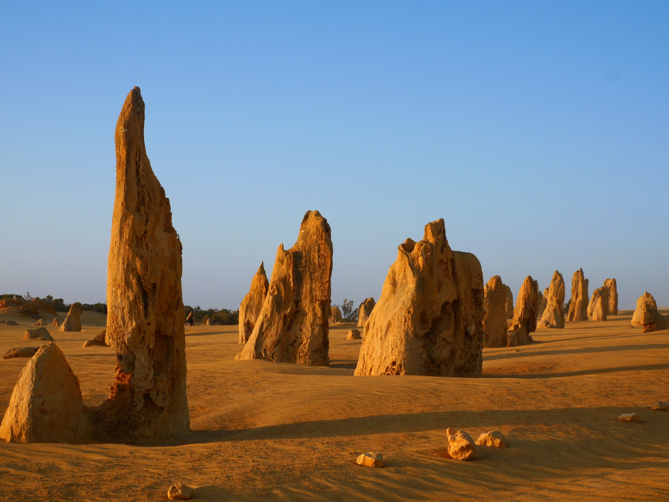
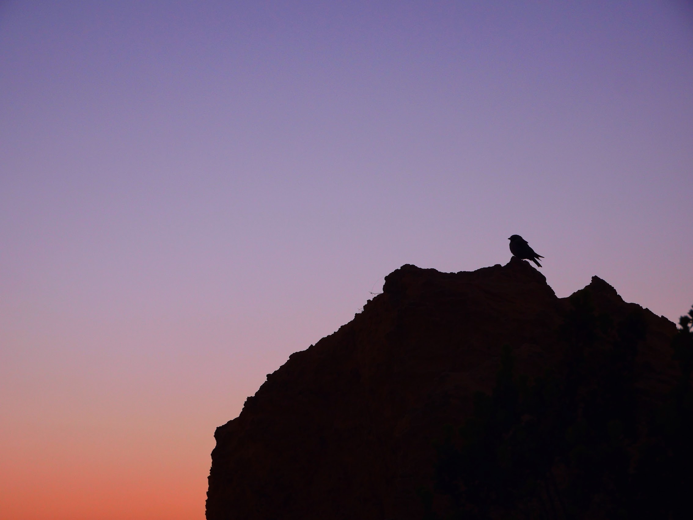
After a few stops and some wandering in the dunes, with the sun descending toward the horizon, Kassie took us to a small hilltop where we watched the sunset and then the full moon rise behind us shortly thereafter. Just wow!
SHARK BAY
When we started looking at potential destinations along the Western Australia coast from Perth to Broome, Shark Bay quickly caught our attention. While there are sharks there (at least 28 species of them!), Shark Bay, which was designated as a UNESCO World Heritage Site in 1991, is actually better known for other reasons.
At the most westerly point of the Australian continent, Shark Bay (the largest bay in all of Australia), with its islands, the Peron Peninsula, and the land surrounding it, has three exceptional natural features: its vast sea-grass beds, which are the largest (4,800 km2) and richest in the world; its dugong (‘sea cow’) population (11,000 of them – 10% of the world’s population); and its stromatolites (those same dome-shaped deposits we saw in Lake Thetis near Cervantes). Shark Bay is also home to five species of endangered mammals.
The Shark Bay World Heritage area is about 5 million acres, about half of which is protected as national parks, nature reserves, and conservation parks. Combined with its remote location and fairly harsh environment it’s probably not surprising to hear that the human population in this area is less than 1,000. (At 0.12 persons per square mile, definitely one of the least densely populated place we have ever visited!)
On the Road Again
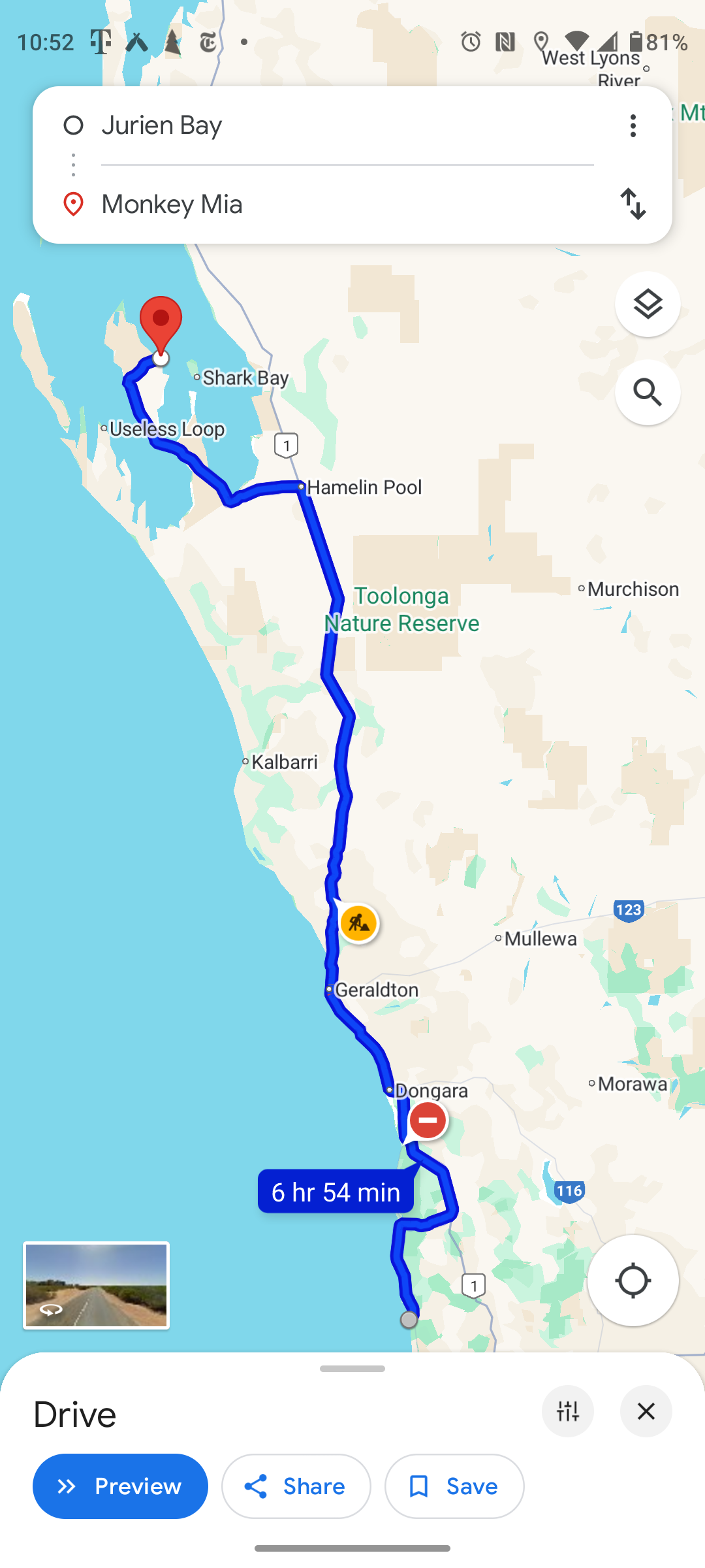
Given our late HOHO bus departure time of 10:10 PM (the same time it dropped us off two days before), we had debated whether to book Area 51 for one more night (just to get us through the day until the bus arrived). But between having the Visitors Center available and the timing of our sunset tour, things actually worked out quite well without. And so, upon our return from the Pinnacles Desert, we stopped at Area 51 to retrieve our luggage (which we had stashed in the laundry shed) and made our way back to our bus stop, arriving with just enough time to grab sandwiches and a drink before our bus arrived and we once again “hopped on”.
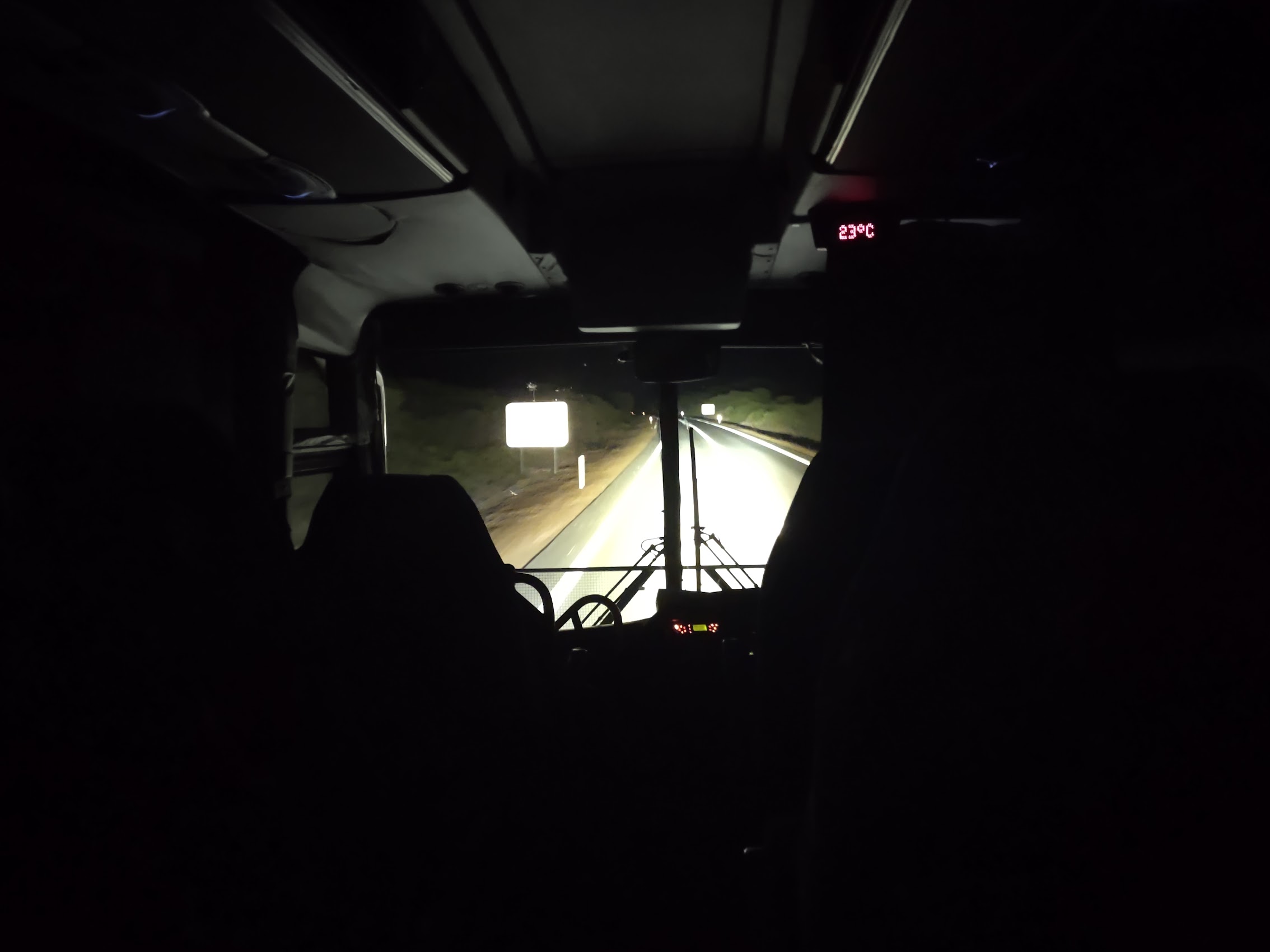
The bus was dark and nearly empty, and we settled in quickly for some shut eye. Sometime after midnight we stopped for gas just outside of Geraldton (the third largest city in Western Australia with a population of about 35,000) where I stepped out for a look around while my travel partner snoozed. A little before 5 AM, we arrived at the Ampol Overlander Roadhouse in Hamelin Pool (the place where stromatolites were originally discovered) where we transferred to a shuttle which would take us up the Peron Peninsula to our ultimate destination in Shark Bay.
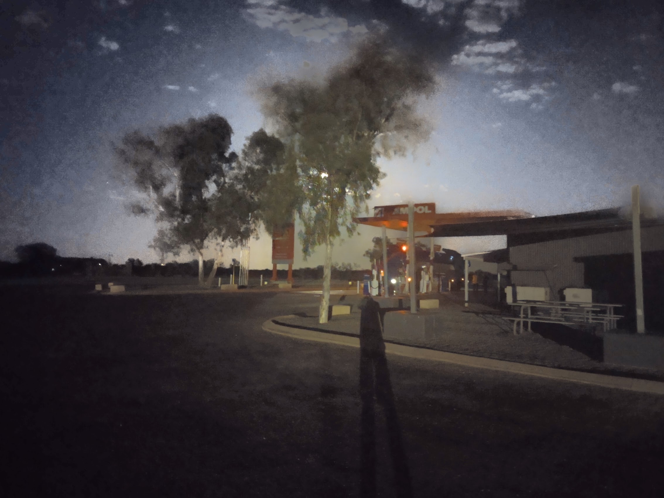
Our shuttle driver was waiting when we arrived at the Overlander Roadhouse and we were his only passengers, so Colleen was able to stretch out in the back row of the van and continue snoozing while I decided to keep our driver company. Although the landscape was pretty featureless, the drive up the peninsula was a bit surreal with the sun rising on one side of us as the full moon set on the opposite horizon.

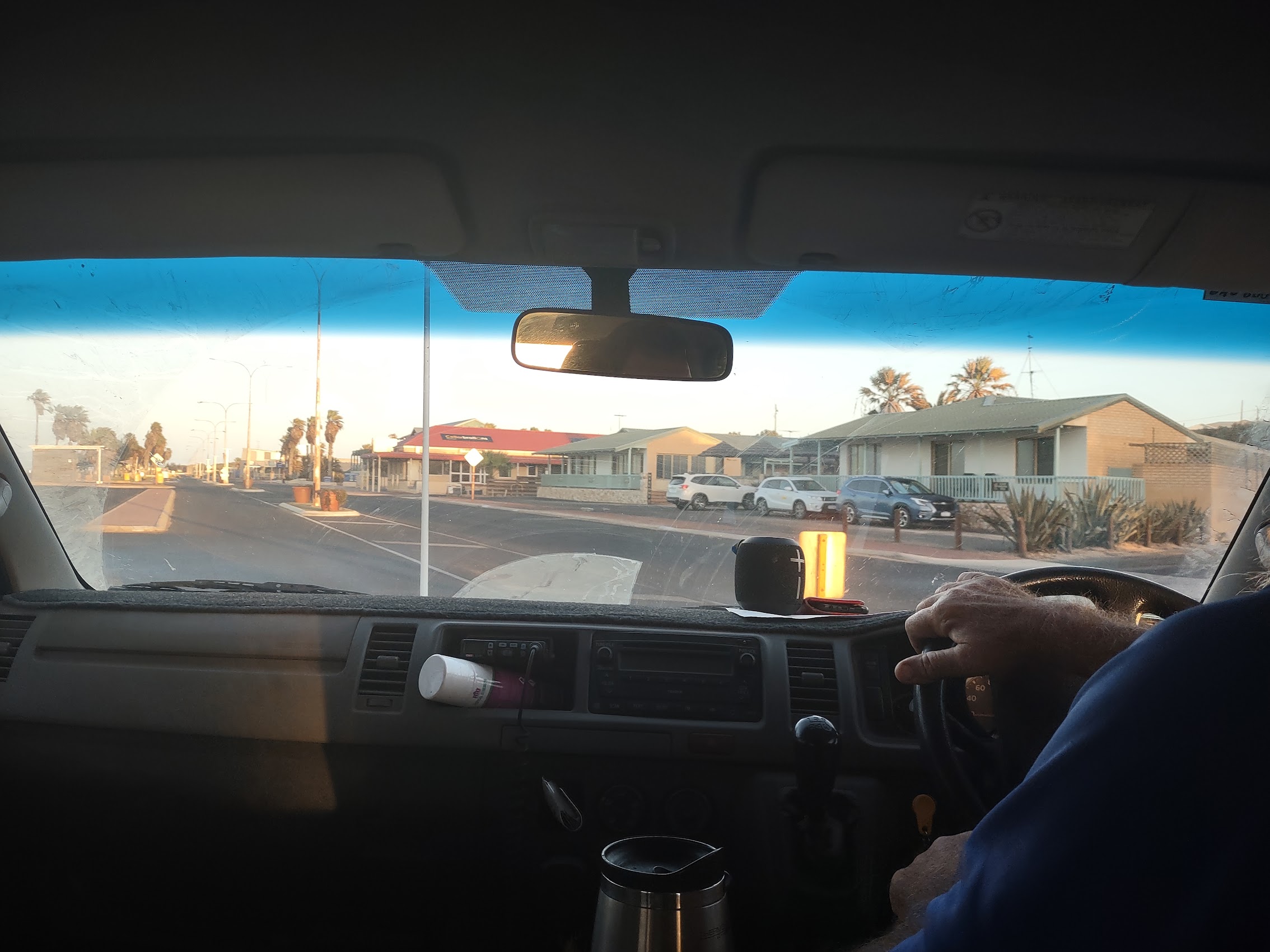
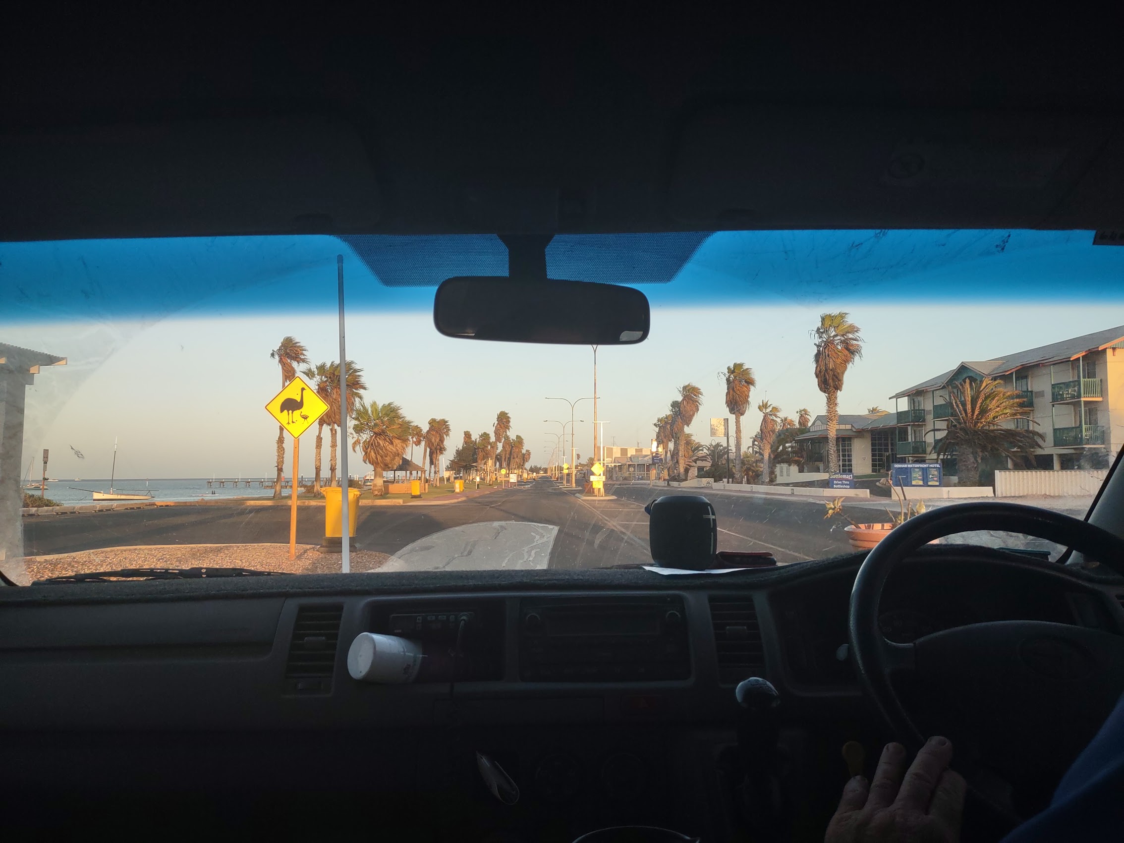
After about another 90 minutes of driving , we arrived at the town of Denham which has the notoriety of being the westernmost town in Australia as well as being the largest permanent settlement in Shark Bay with a booming population of about 750. There was no need to stop, but our driver gave us a quick tour of the town (which didn’t take long) before turning east to cross the peninsula, arriving about 30 minutes later at our final destination in Shark Bay.
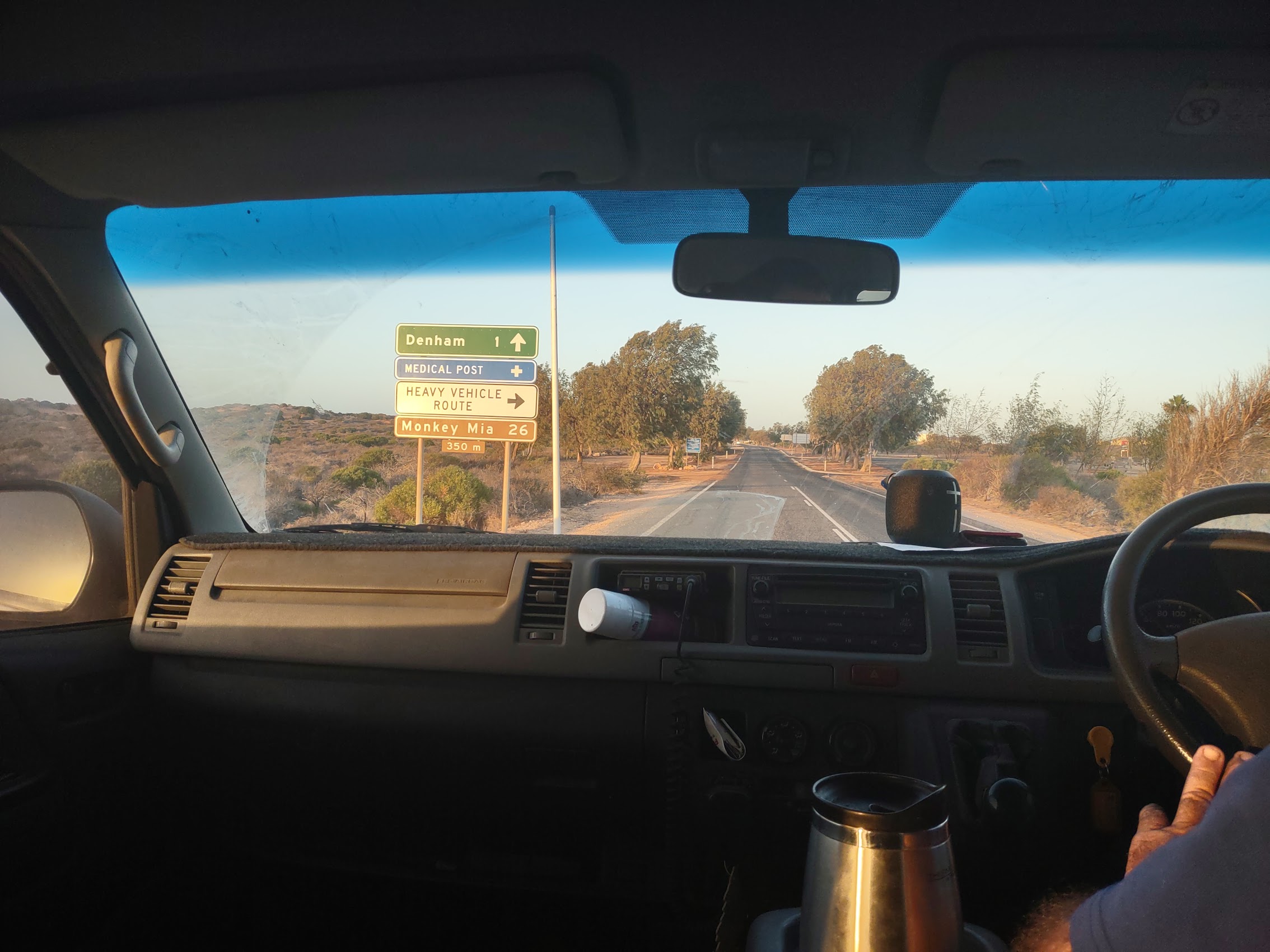
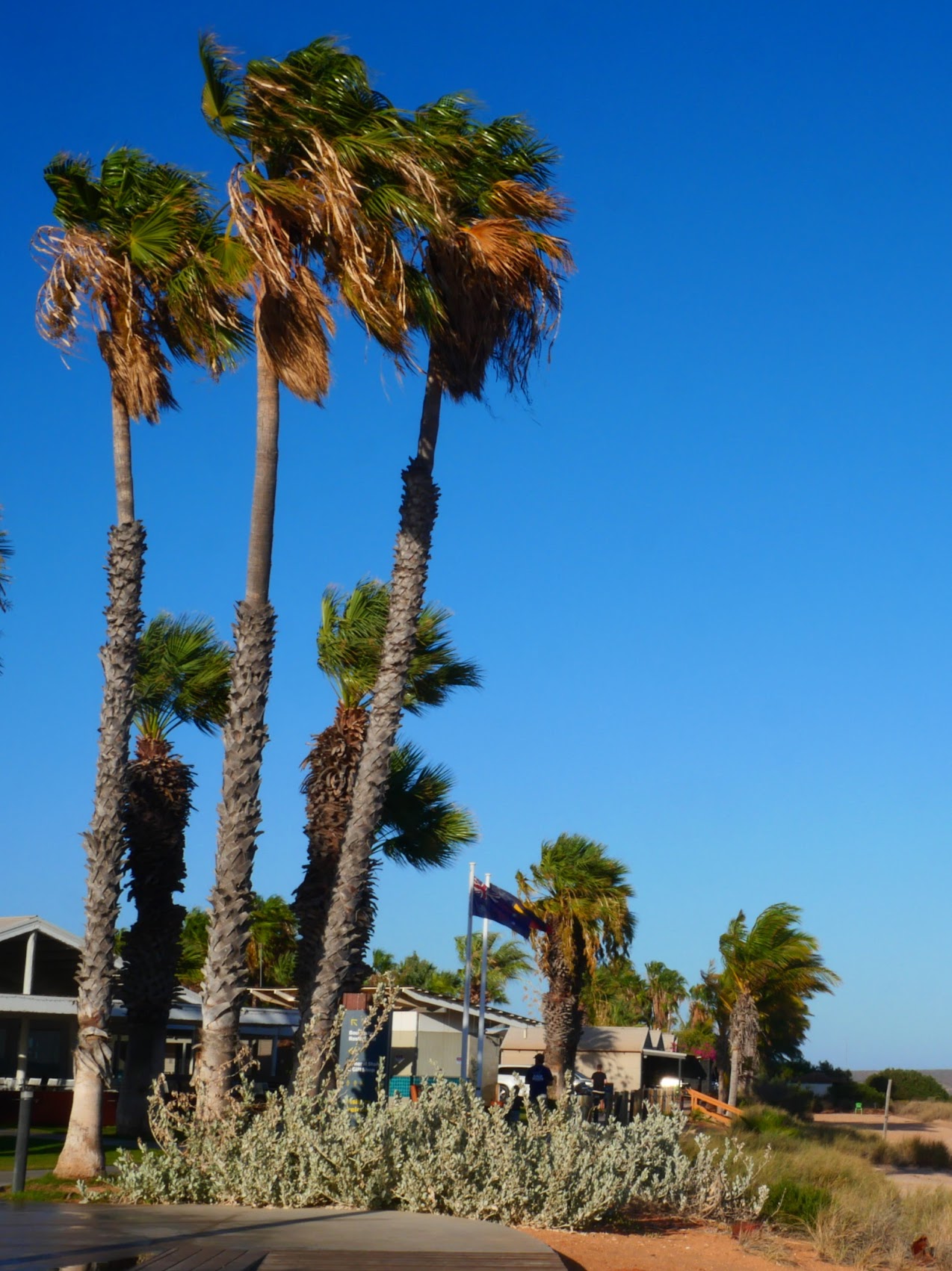
Monkey Mia
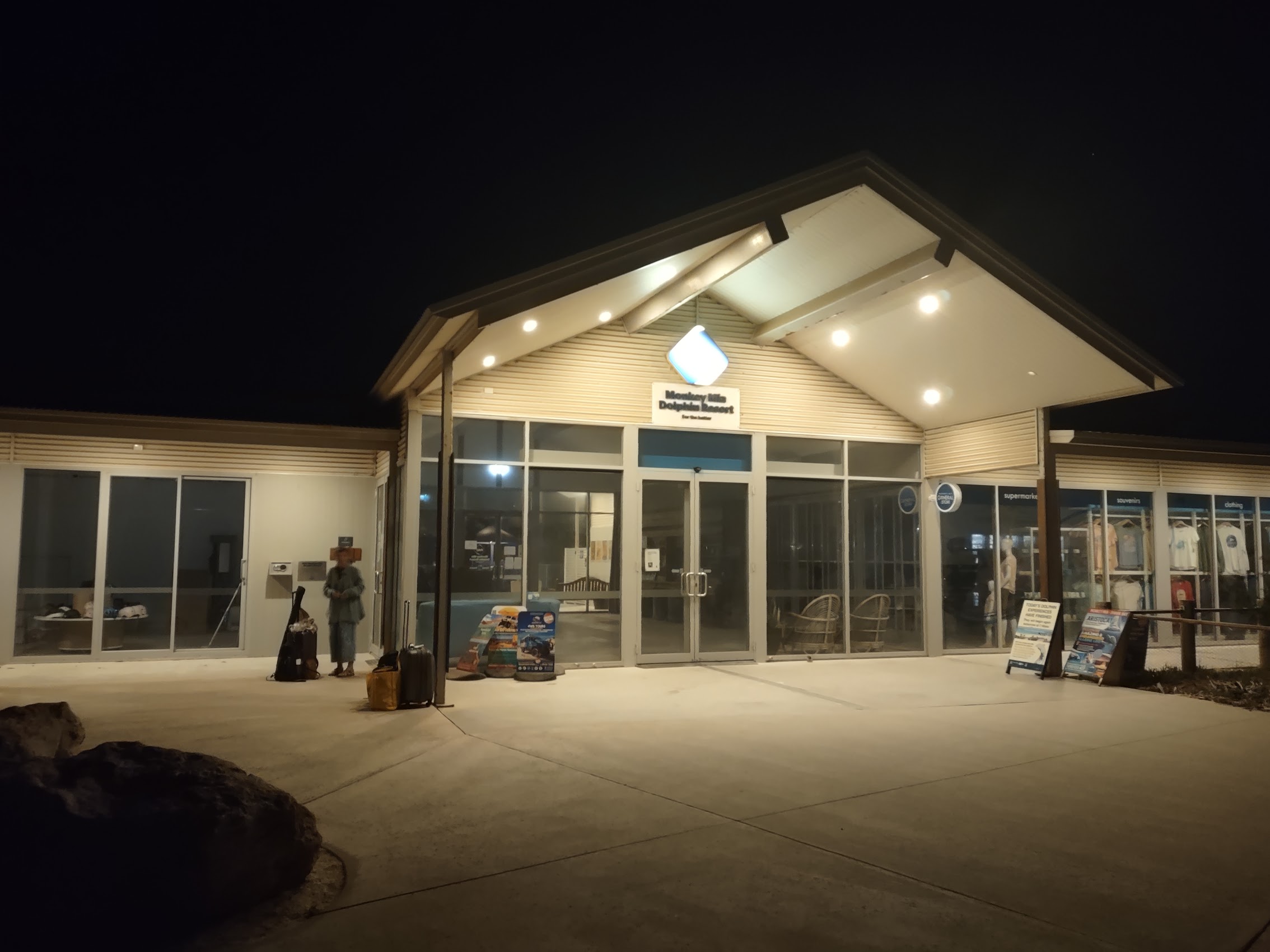
Our destination in Shark Bay was the Monkey Mia Dolphin Resort, a unique eco resort which is one of only two places you can stay on the Peron peninsula (Denham is the other) and is the only place you can stay in the area that is actually on Shark Bay. The name “Monkey Mia” is thought to come from a combination of the Aboriginal word “Mia” which means “home” or “shelter” and the name of a ship (The Monkey) that visited the area in the late 19th century, during the days when pearling was an industry in the region. (There are other stories regarding where the “Monkey” part comes from, but we were able to confirm that there are definitely no monkeys in Monkey Mia.)
In any case, in the 1960s, a fisherman and his wife began feeding bottlenose dolphins when returning to Monkey Mia with their catch. As news of the dolphins coming inshore spread, visitors started to come to see them. In 1985, an information center was built, and in 1988, a special state government grant was provided to develop roads, carparks, and facilities. In November 1990, the waters adjoining Monkey Mia were declared a marine park which is now managed by the Department of Parks and Wildlife. The Monkey Mia Dolphin Resort is probably best known for its dolphin “meet and greets”. (More about that later.)

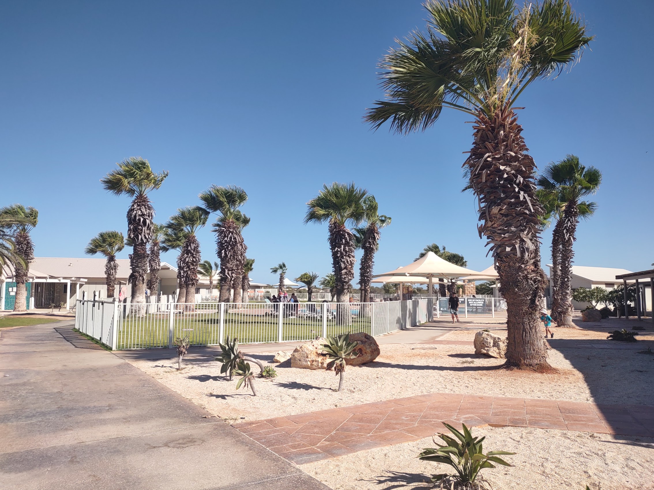
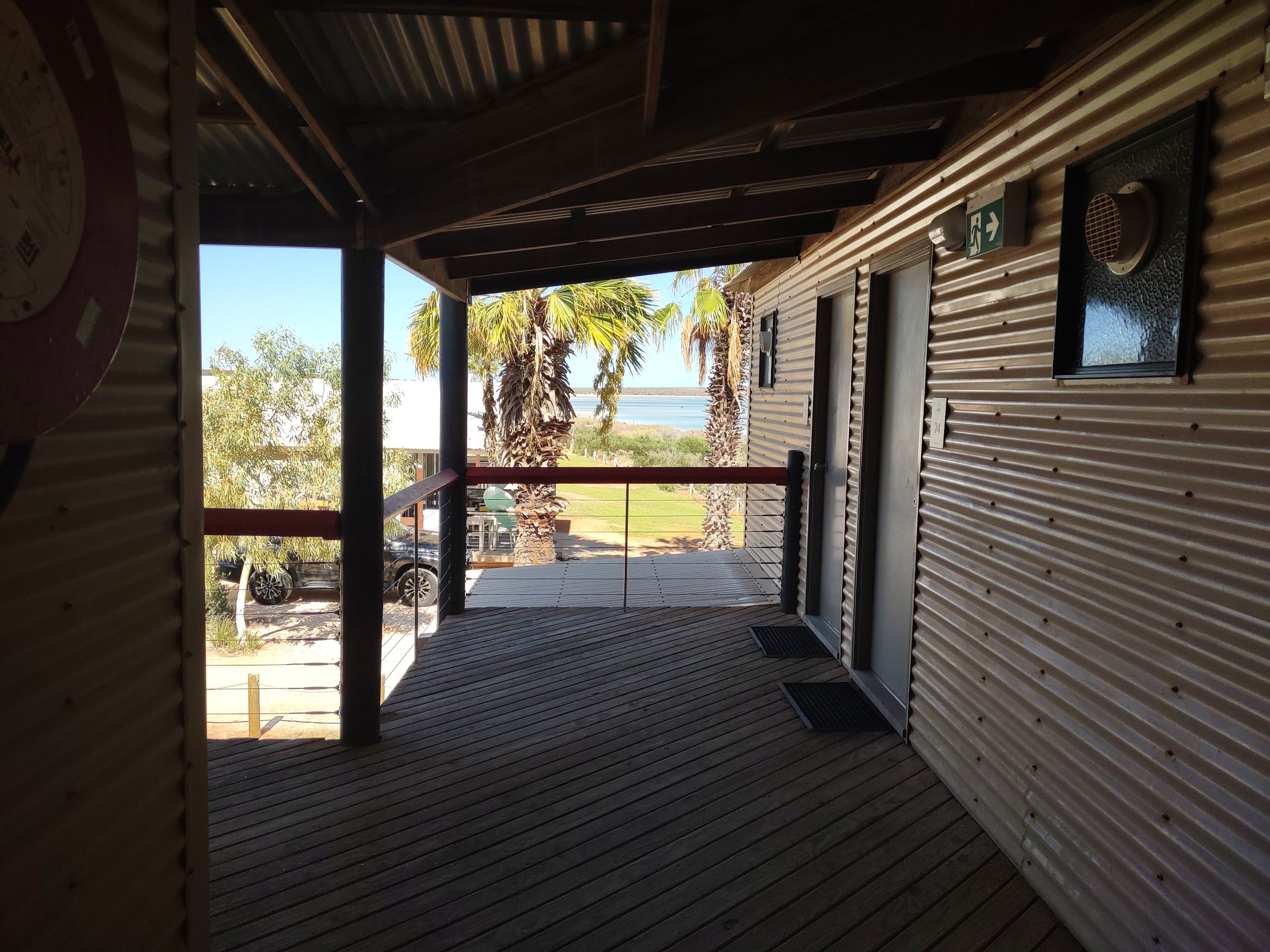
We arrived early (7 AM) to find the resort just waking up. With a few hours before our room would be ready, we dropped our bags at check-in and had a look around the place. The resort had that corrugated metal semi-industrial aesthetic we had grown accustomed to with views of Shark Bay everywhere you looked.
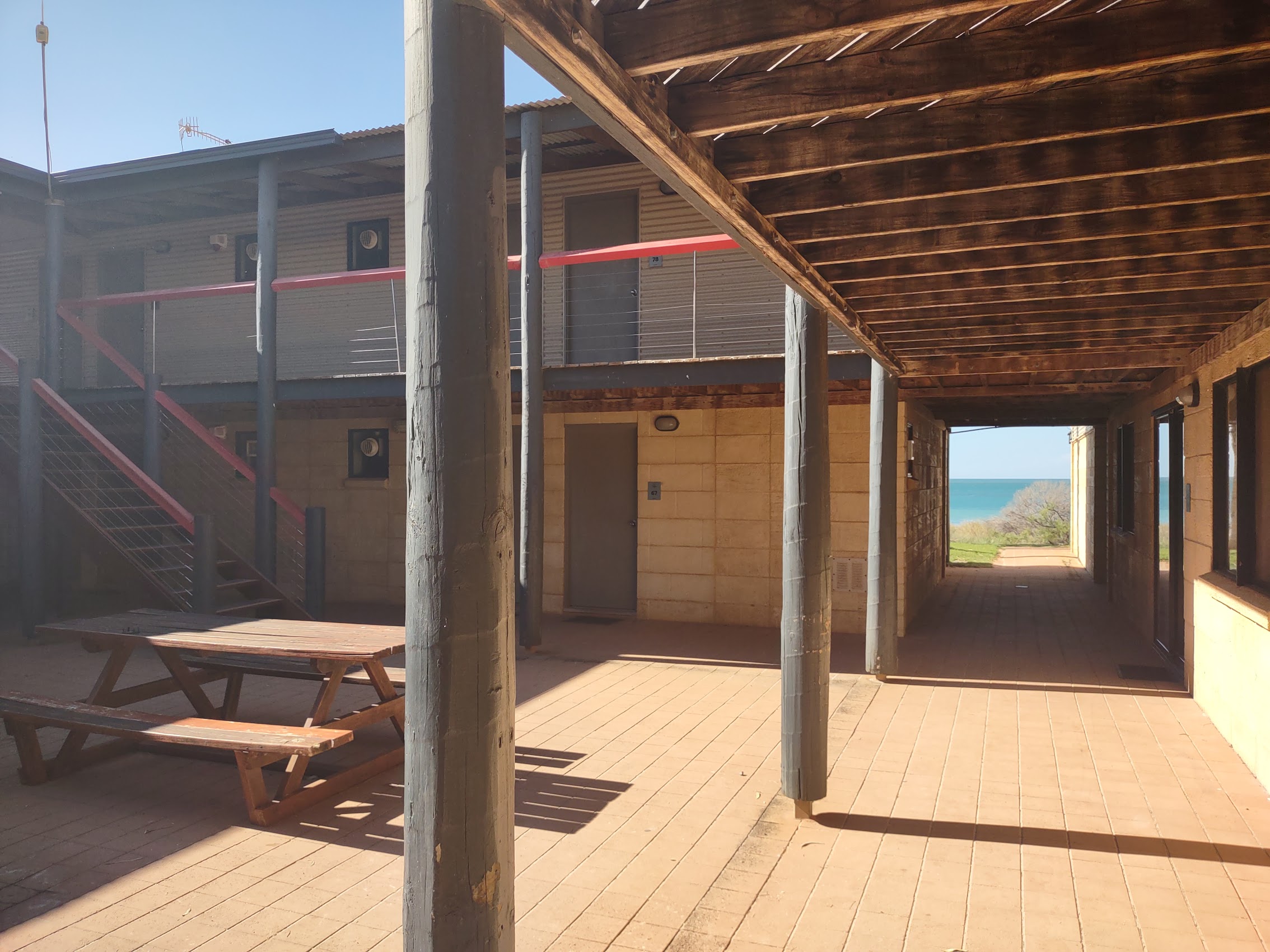
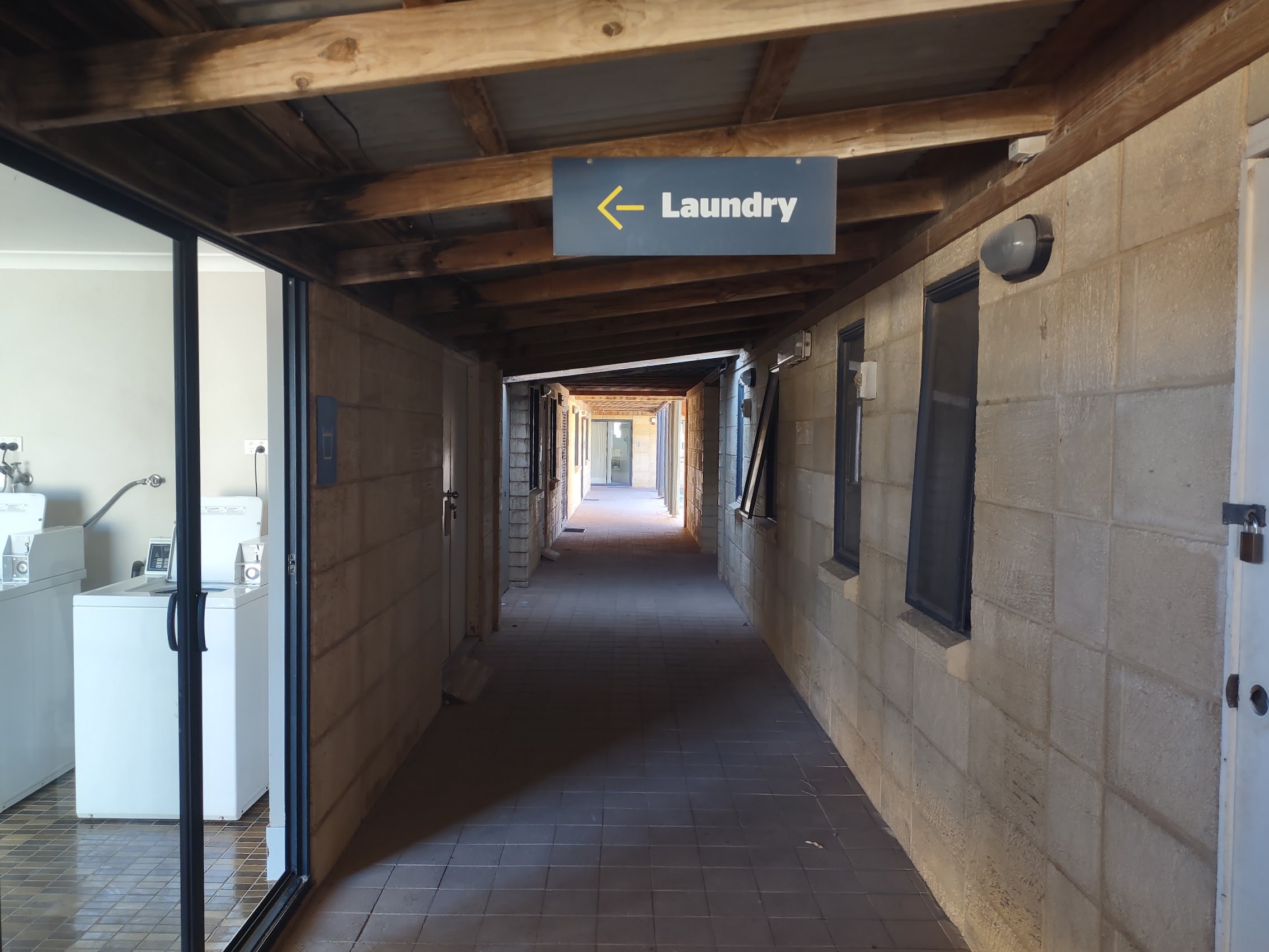
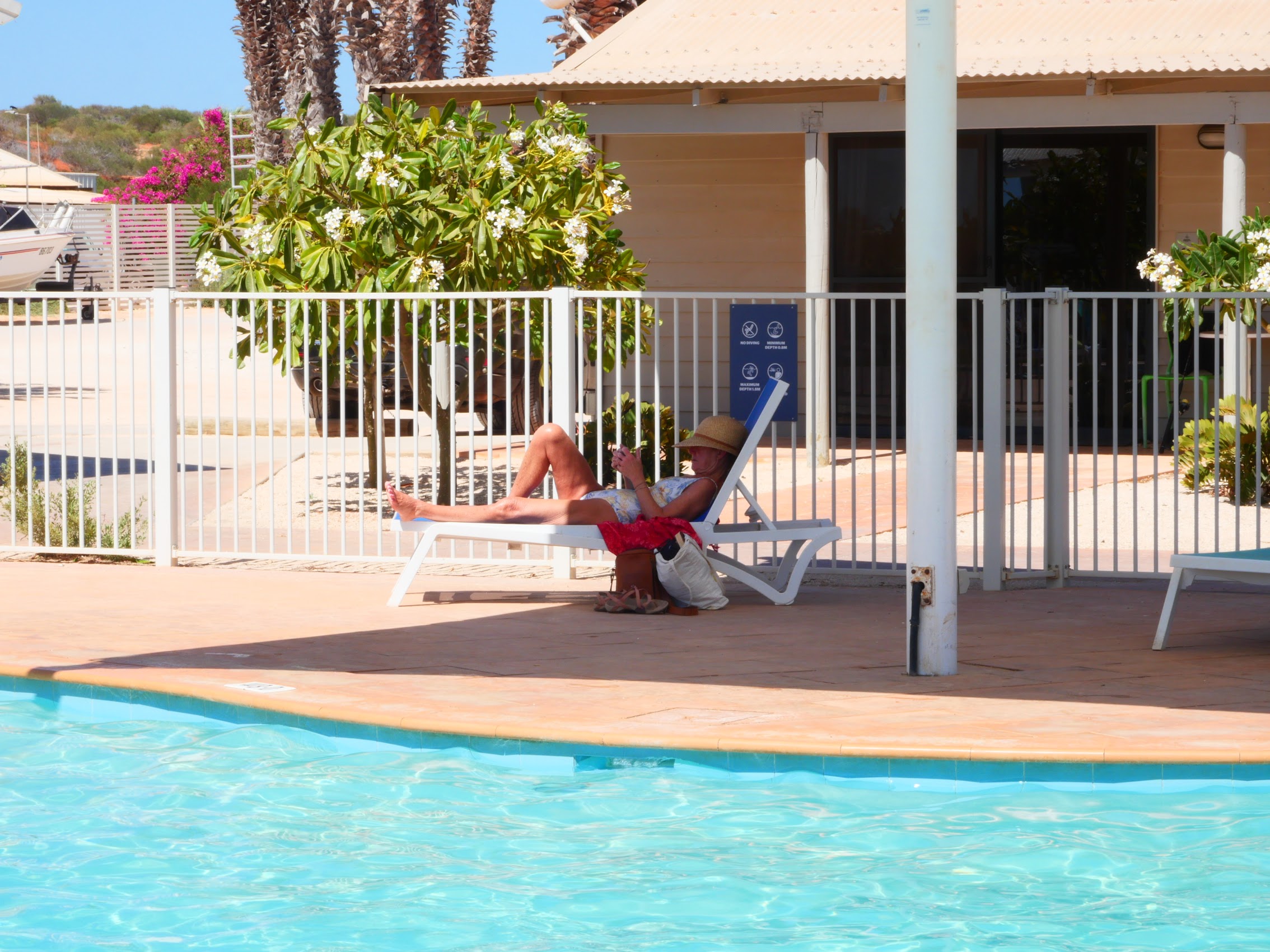
What was probably most interesting about Monkey Mia was the variety of accommodations available, ranging from hostel-style bunk rooms to private beach cottages and just about everything in between. Resort facilities were great – pools, restaurants and bars (not to mention a great laundry room and drying yard!) – but the best part was definitely its location right on Shark Bay and at the edge of the Francois Peron National Park.


Emu for Breakfast?
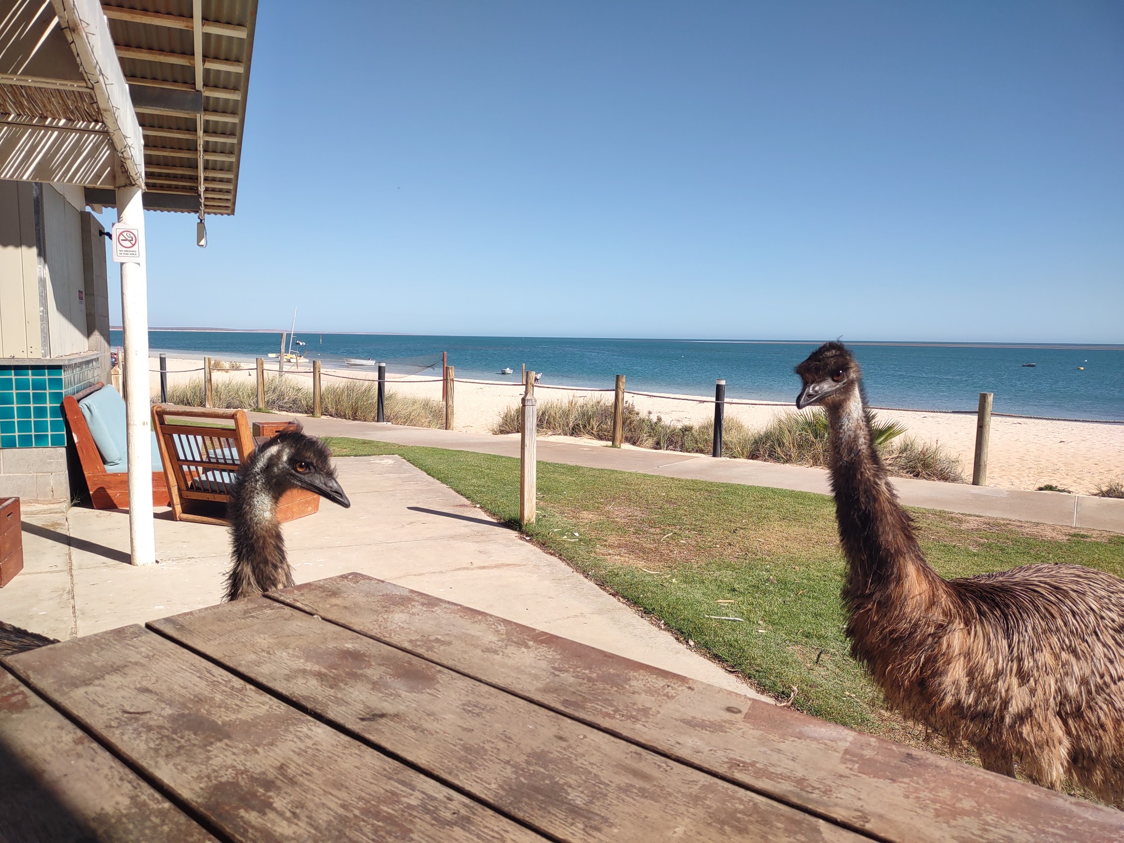
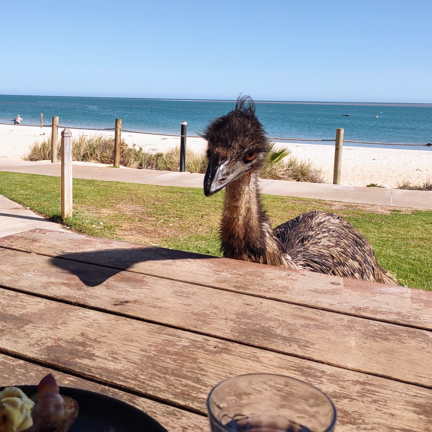
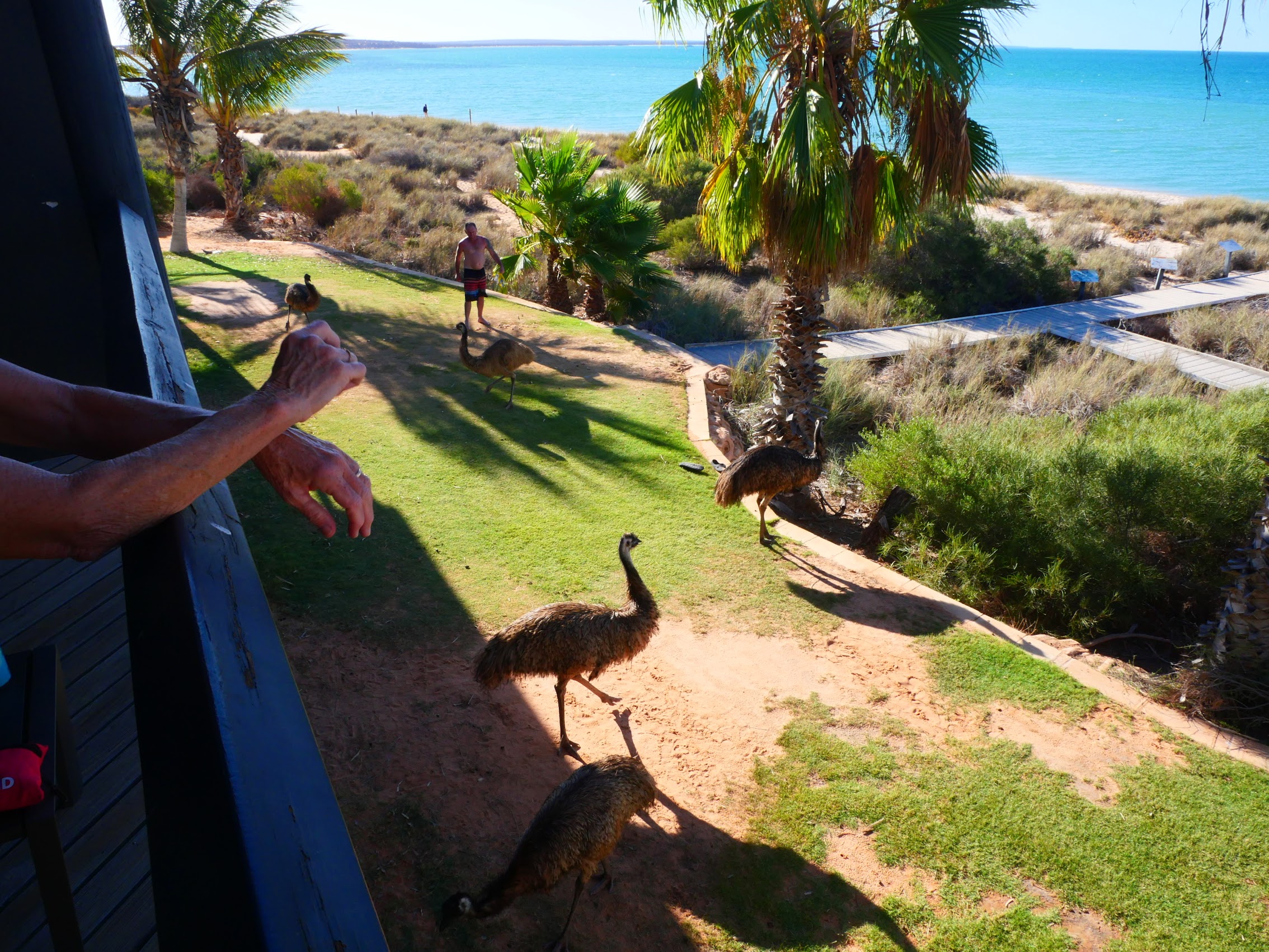
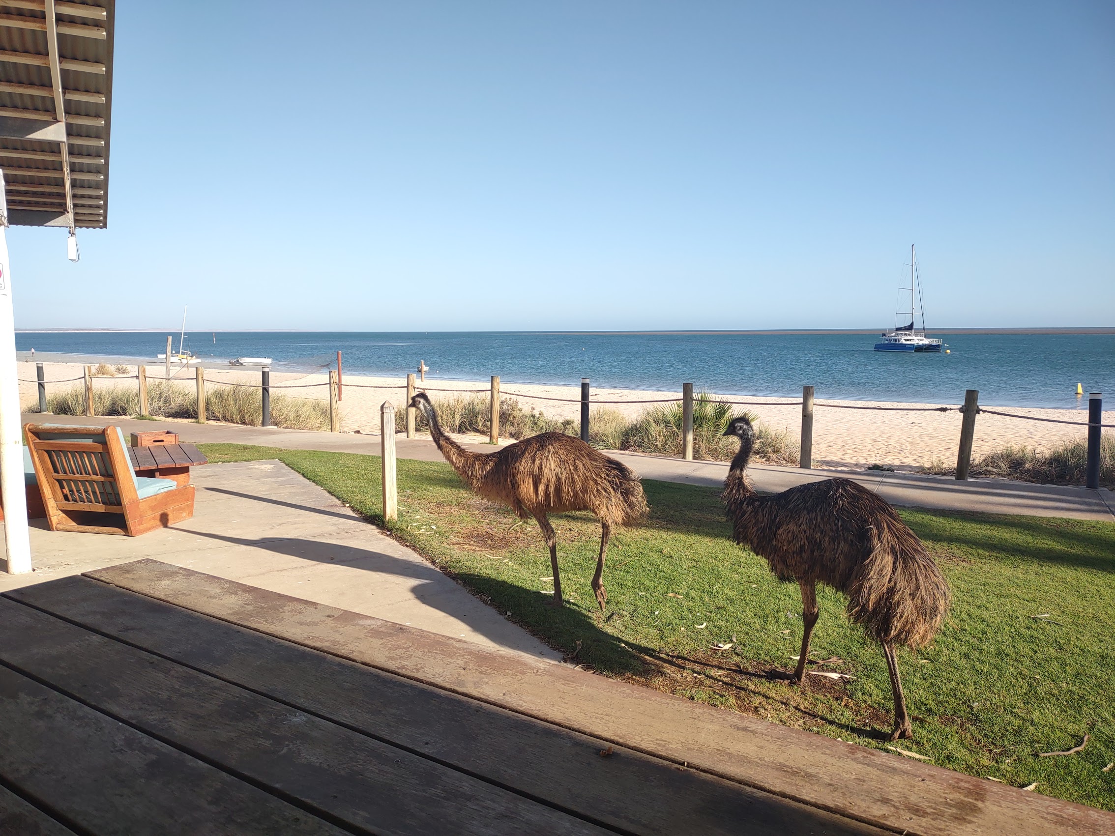
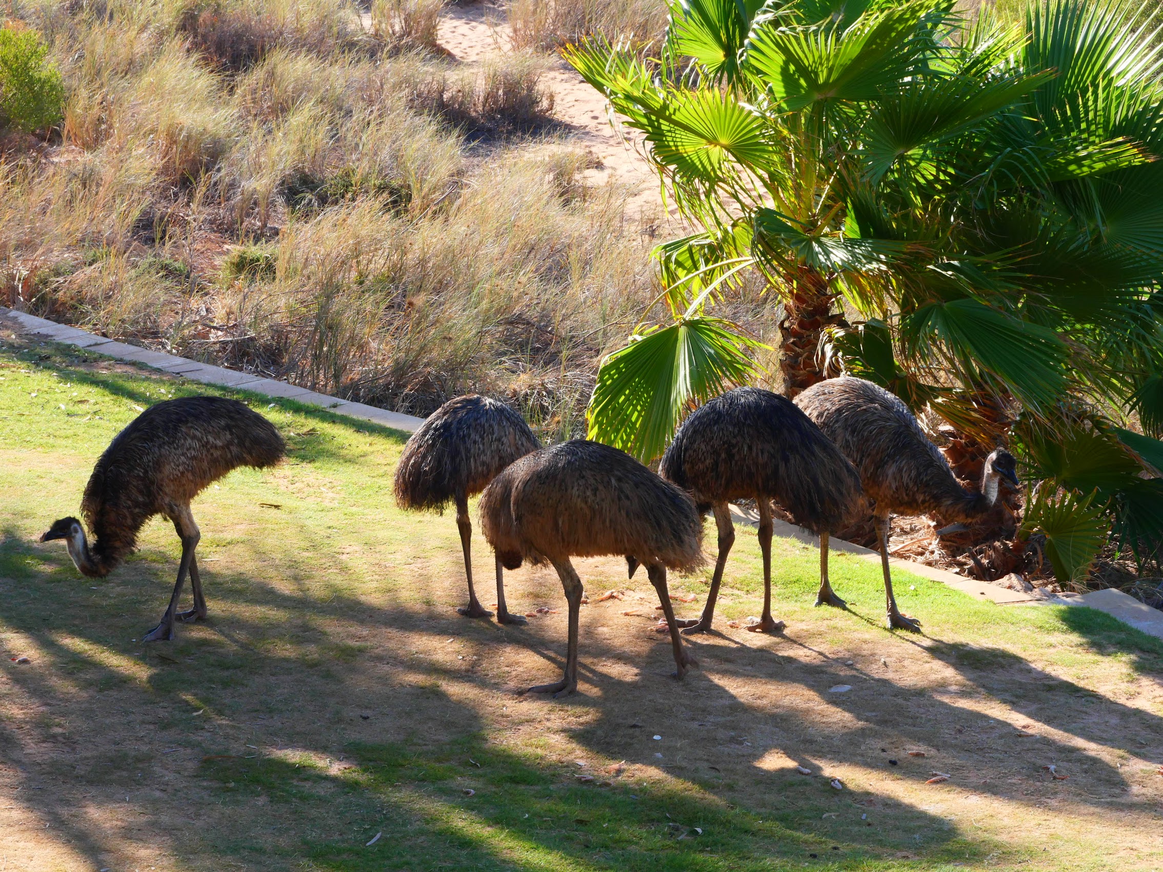
After touring the facilities, we made our way back to the resort center for some breakfast. The outdoor seating area was beginning to fill up so we were surprised to find a couple of open stools at a counter with a great view of Shark Bay only yards away. Our food arrived and we were just beginning to fold into some delicious looking hotcakes when we were joined by some uninvited guests.
As we discovered, in addition to its well-publicized dolphin population, Monkey Mia is also home to a “mob” (yes, like kangaroos and aboriginals) of emu. They are bigger than I imagined – males run upwards of 120 pounds and grow to heights of almost six feet – which, as it turns out, is just the right height for counter service! (We later noted that there is a section of counter seating with netting in front of it – presumably to keep the emus at bay!)
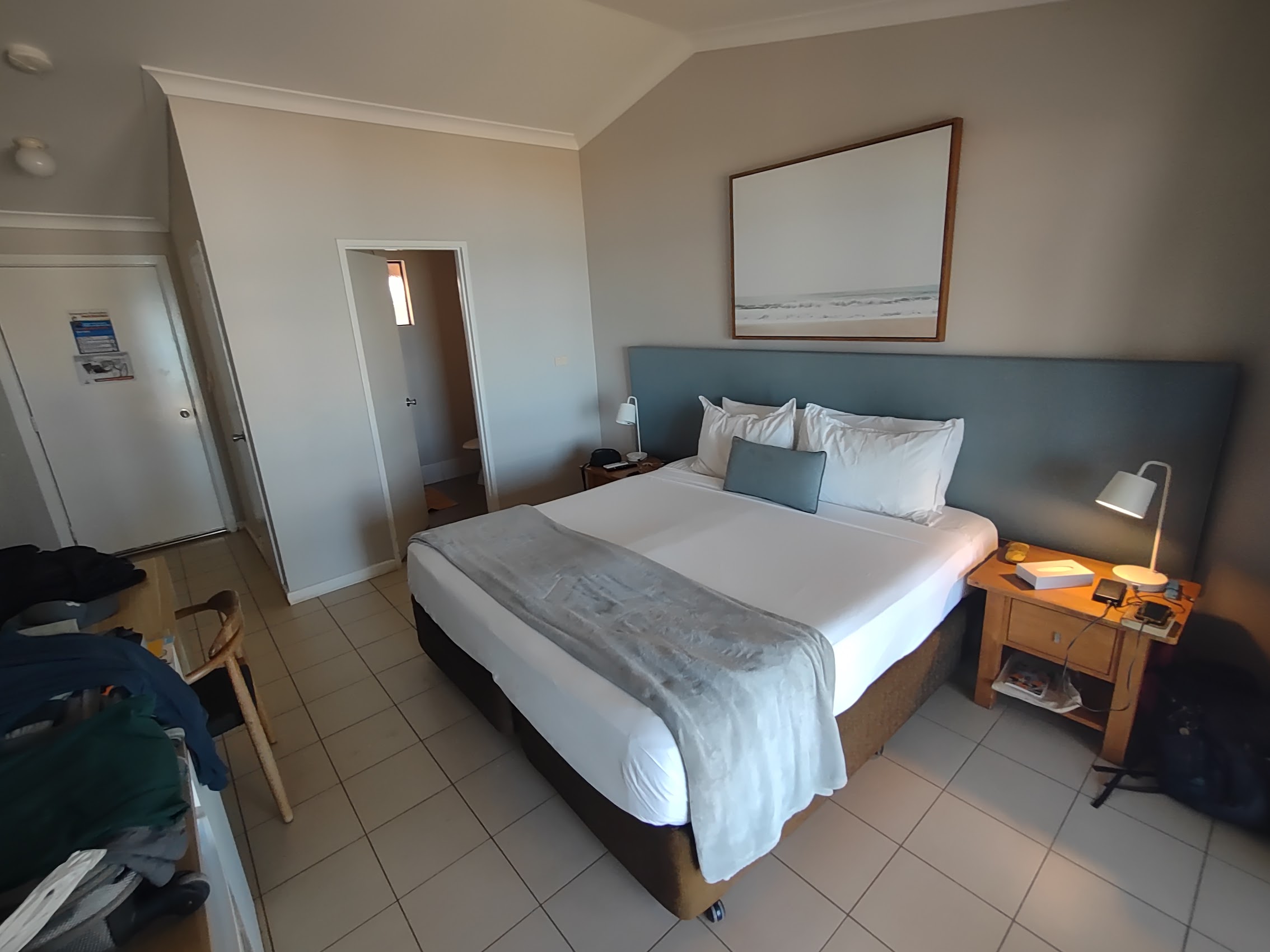
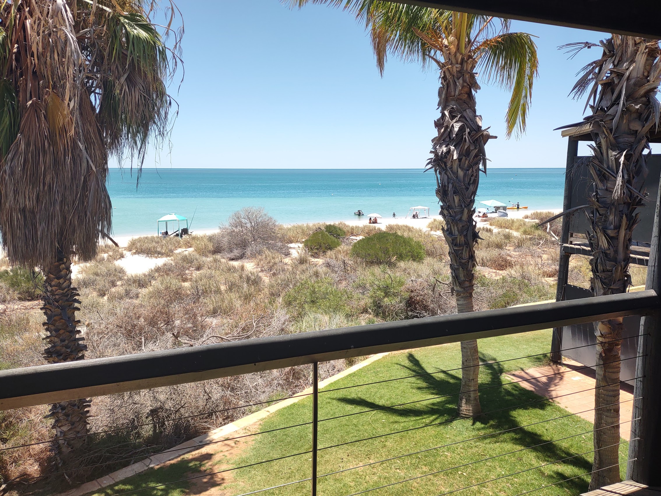
After shooing the emus away and finishing our breakfast, we were able to check into our room early. We had booked a middle-grade accommodation, a pretty basic hotel room with a coffee maker and (thankfully!) a small fridge. Probably not surprisingly as they are the only show in town, the cost of our hotel room at Monkey Mia ($175 per night) was close to the most expensive thus far in Australia (second only to the three-bedroom apartment we rented in Esperance) but, as I mentioned, the resort did have a lot of nice amenities and the view of Shark Bay from our room and private balcony was pretty amazing.
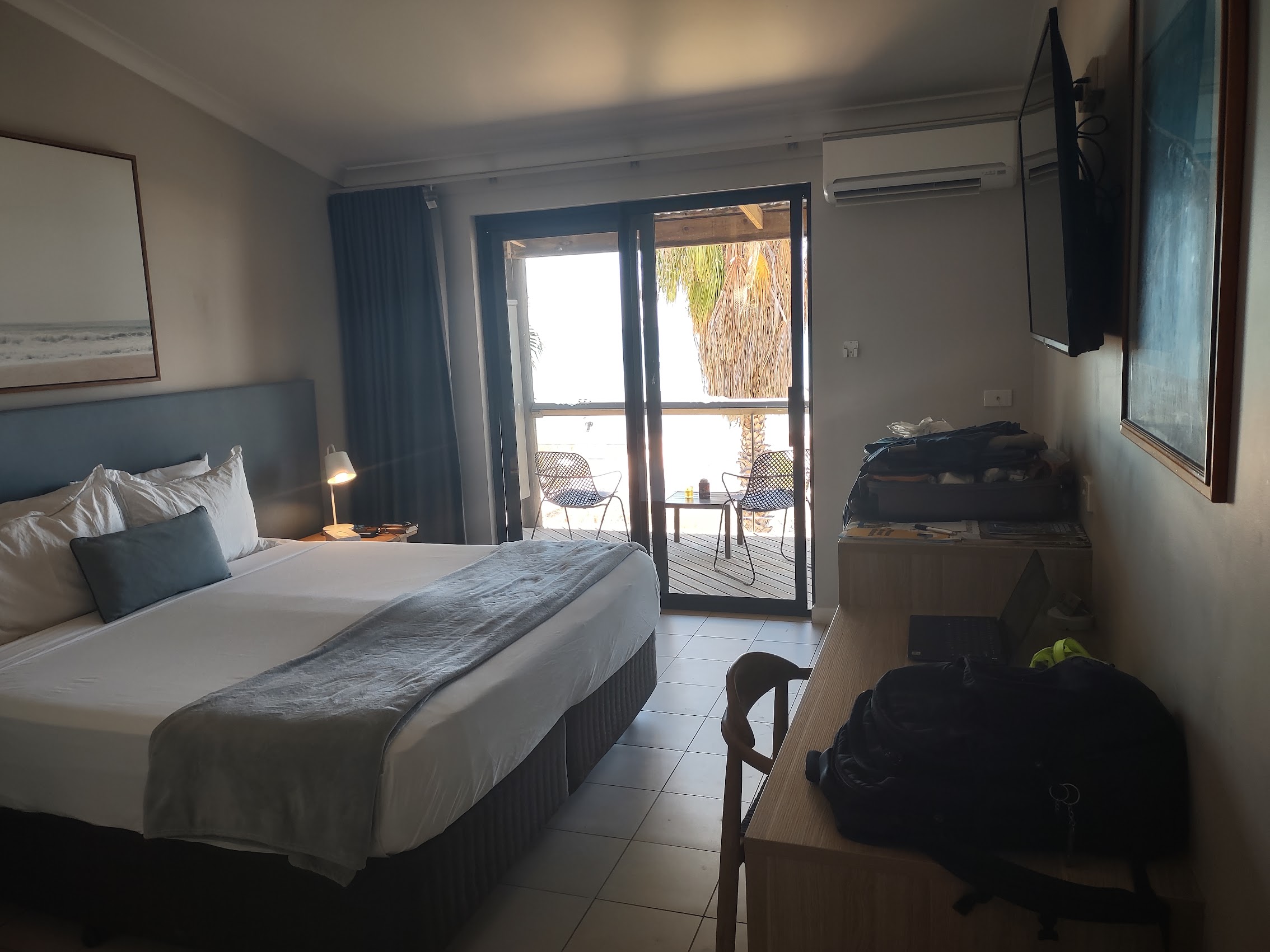


We also discovered the benefit of being on the second floor as we watched the “mob” of emus (the name was starting to make sense) roaming up and down the beach front and occasionally dropping in to see what was happening in the rooms below us.
Taking it Easy
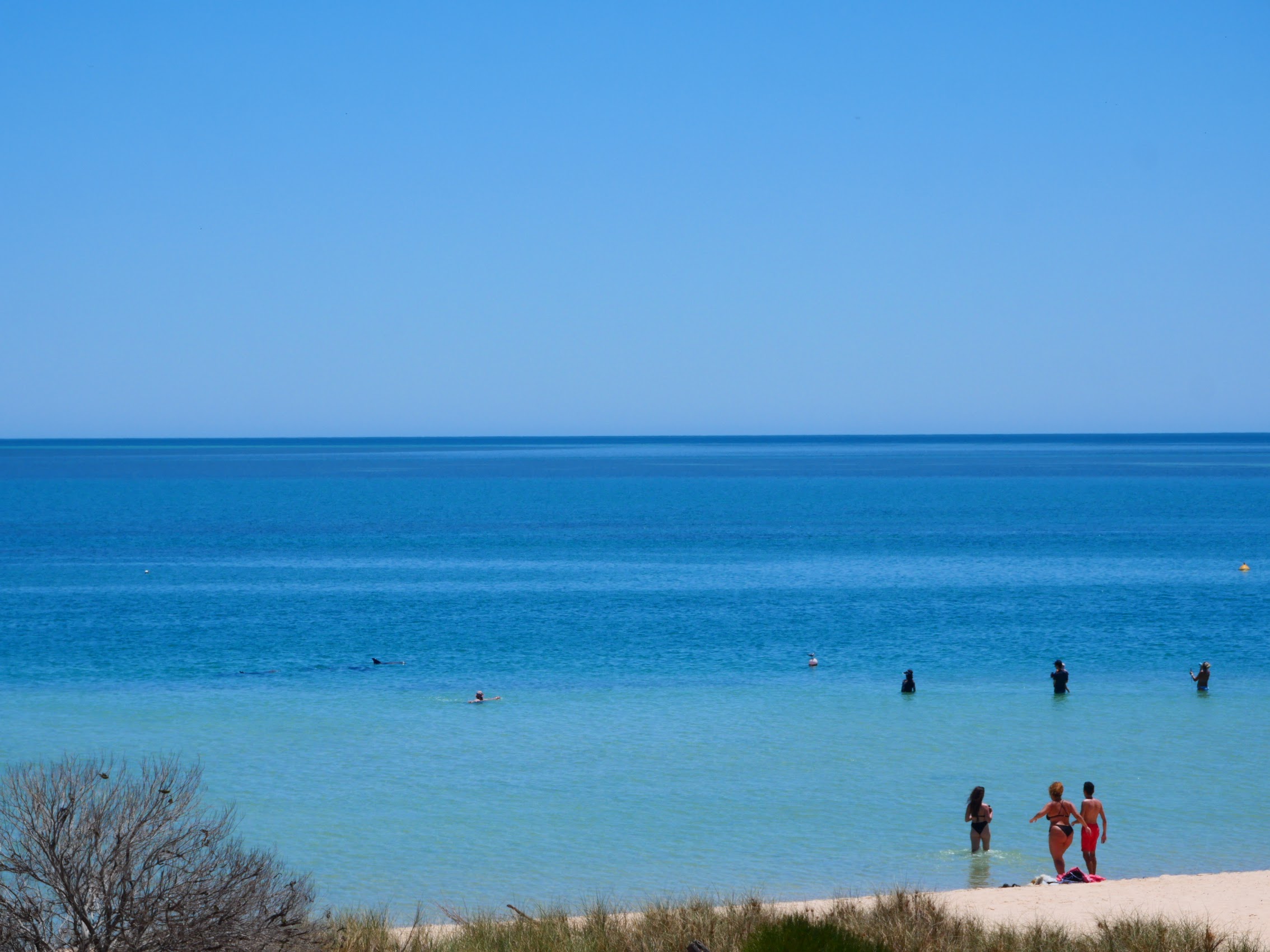
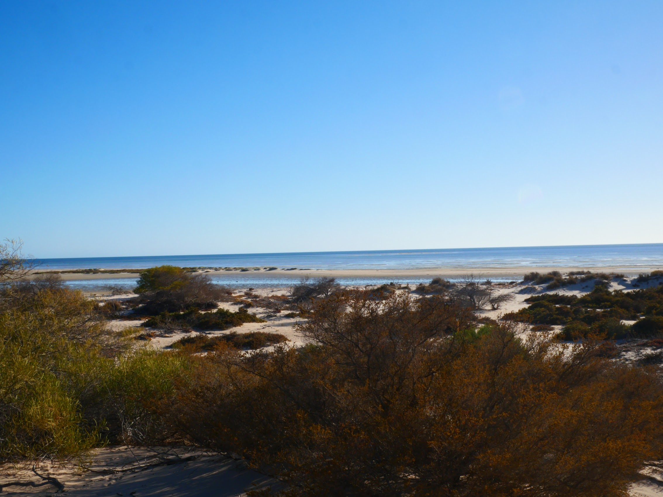
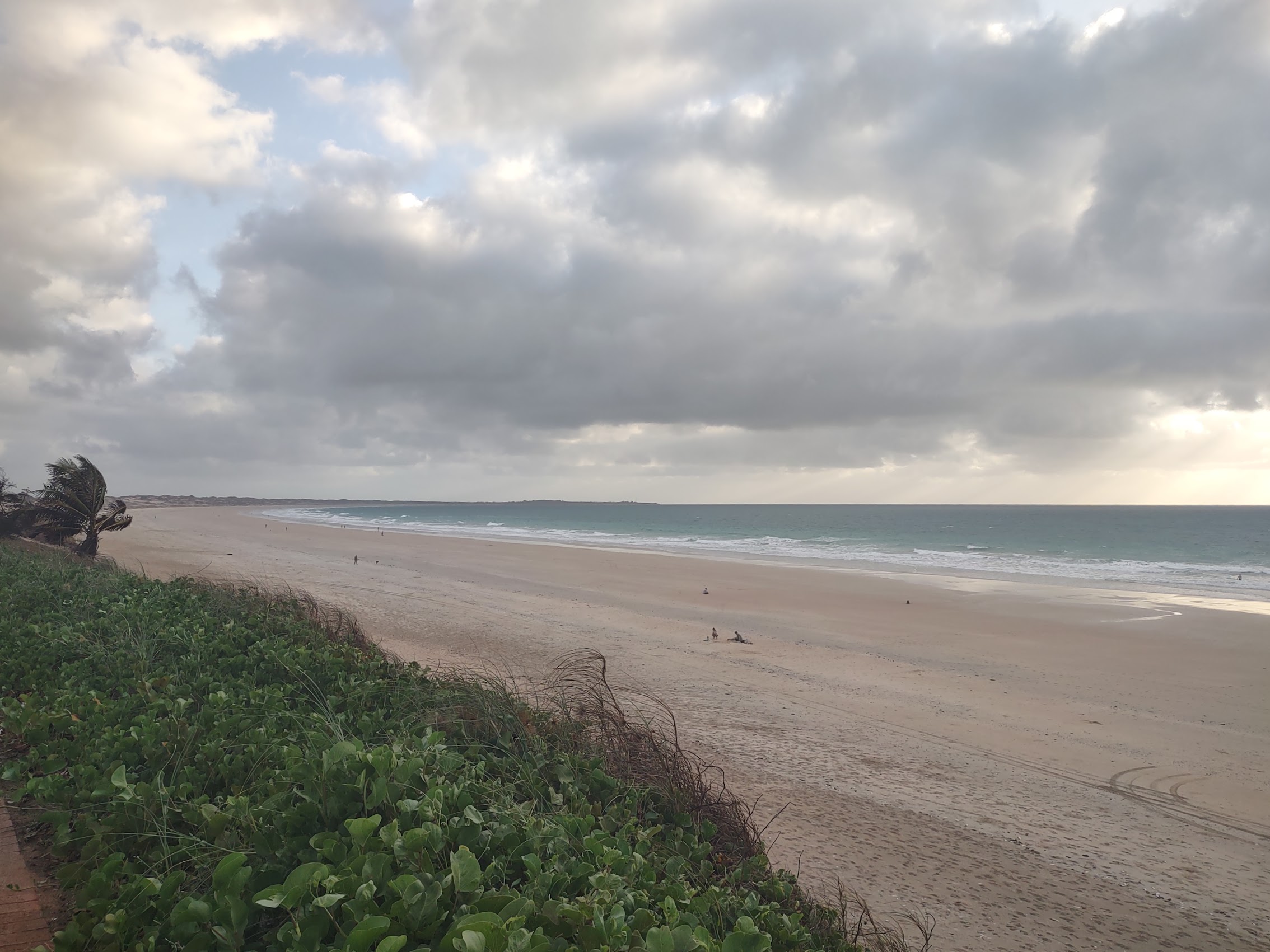
There were a number of tours available to trek up the peninsula through the Francois Peron National Park which has some amazing scenery, but we shied away from them because they seemed prohibitively expensive. (I still wonder whether we shouldn’t have splurged? Maybe next time!). Instead, we were pretty content to spend our days relaxing on the beach, which really was quite spectacular, with gently lapping waves thanks to the sheltered location of the resort.
And, when it got too hot on the beach, there was always a shady spot by one of the resort’s pools. (As we continued to move north, average temperatures continued to rise, now reaching into the 90’s during the day, so staying cool was becoming a preoccupation!)
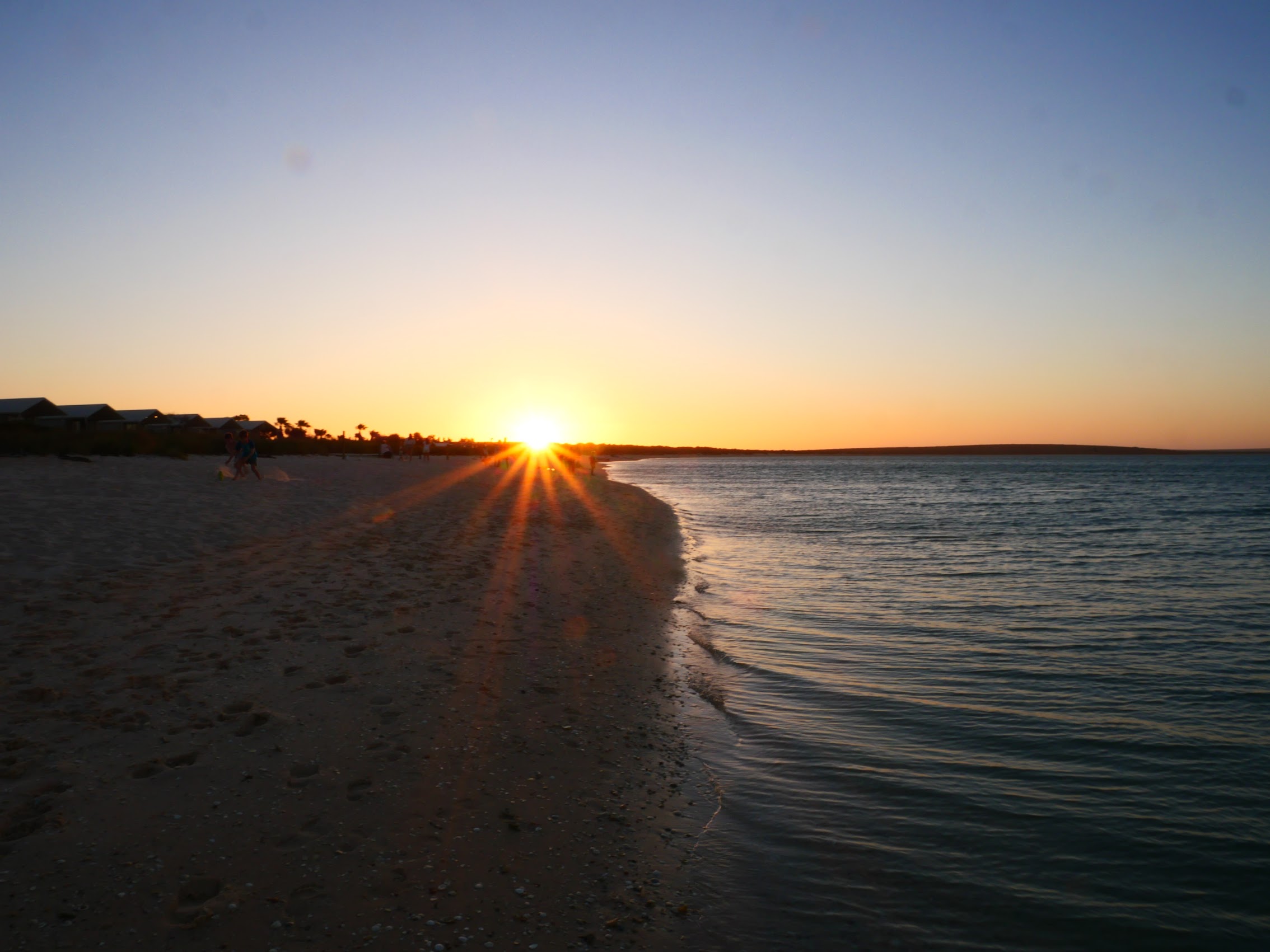
In the evenings we (and most of the other folks staying at the resort which, fortunately, were not many) gravitated back to the beach from which one could get spectacular views of the sun setting across the peninsula to the northwest.
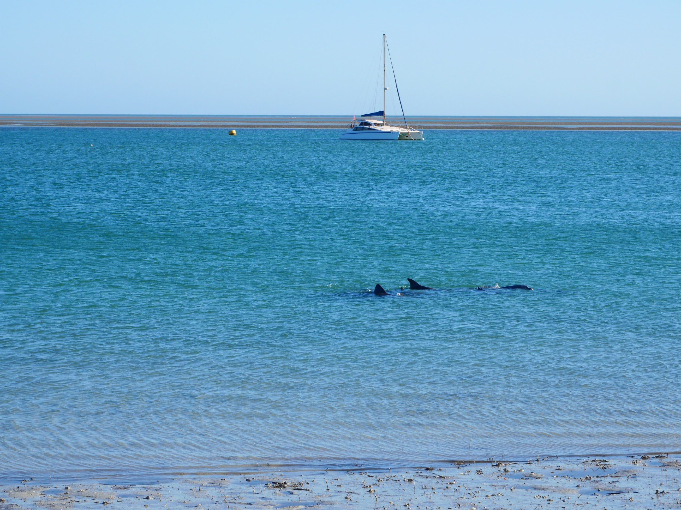
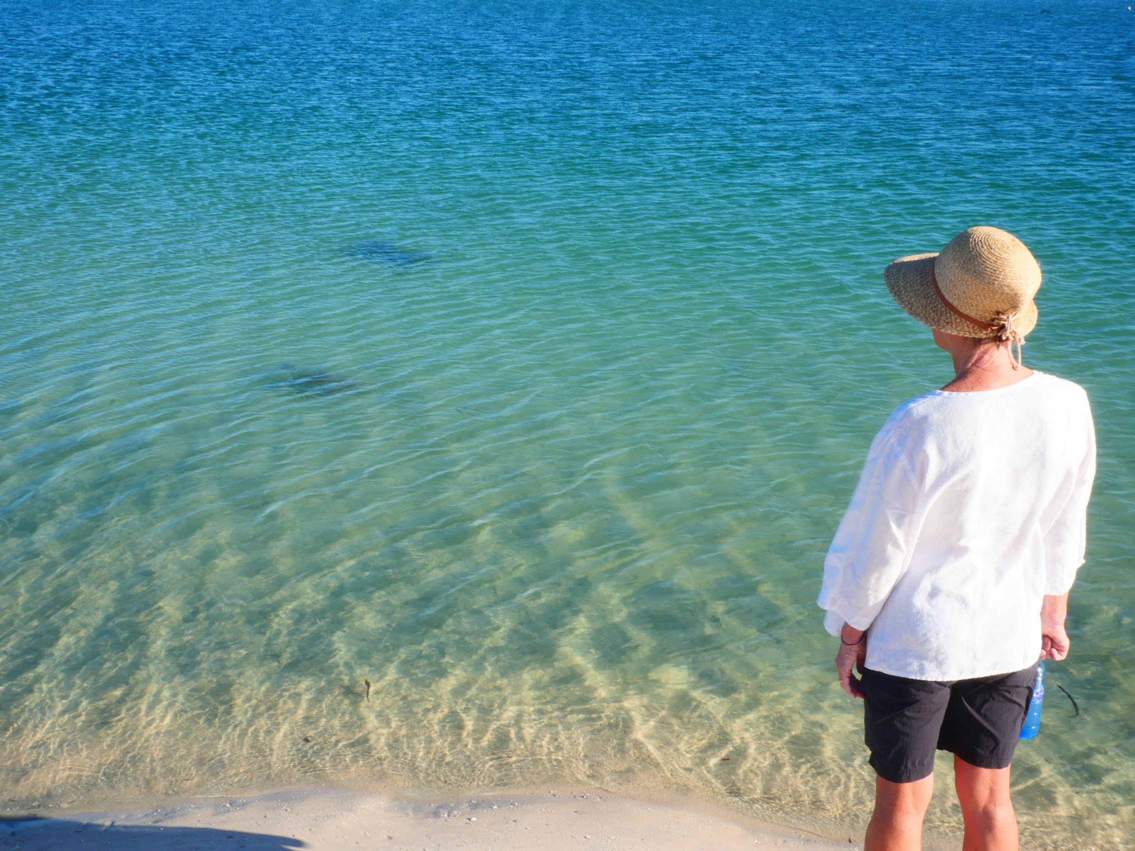
I mentioned earlier that dolphins are the big attraction at Monkey Mia where a small pod of them (usually 7 or 8 regulars, but sometimes as many as 20) swims to shore each morning and participates in scheduled “feeding experiences” conducted by park rangers which resort guests can participate in.
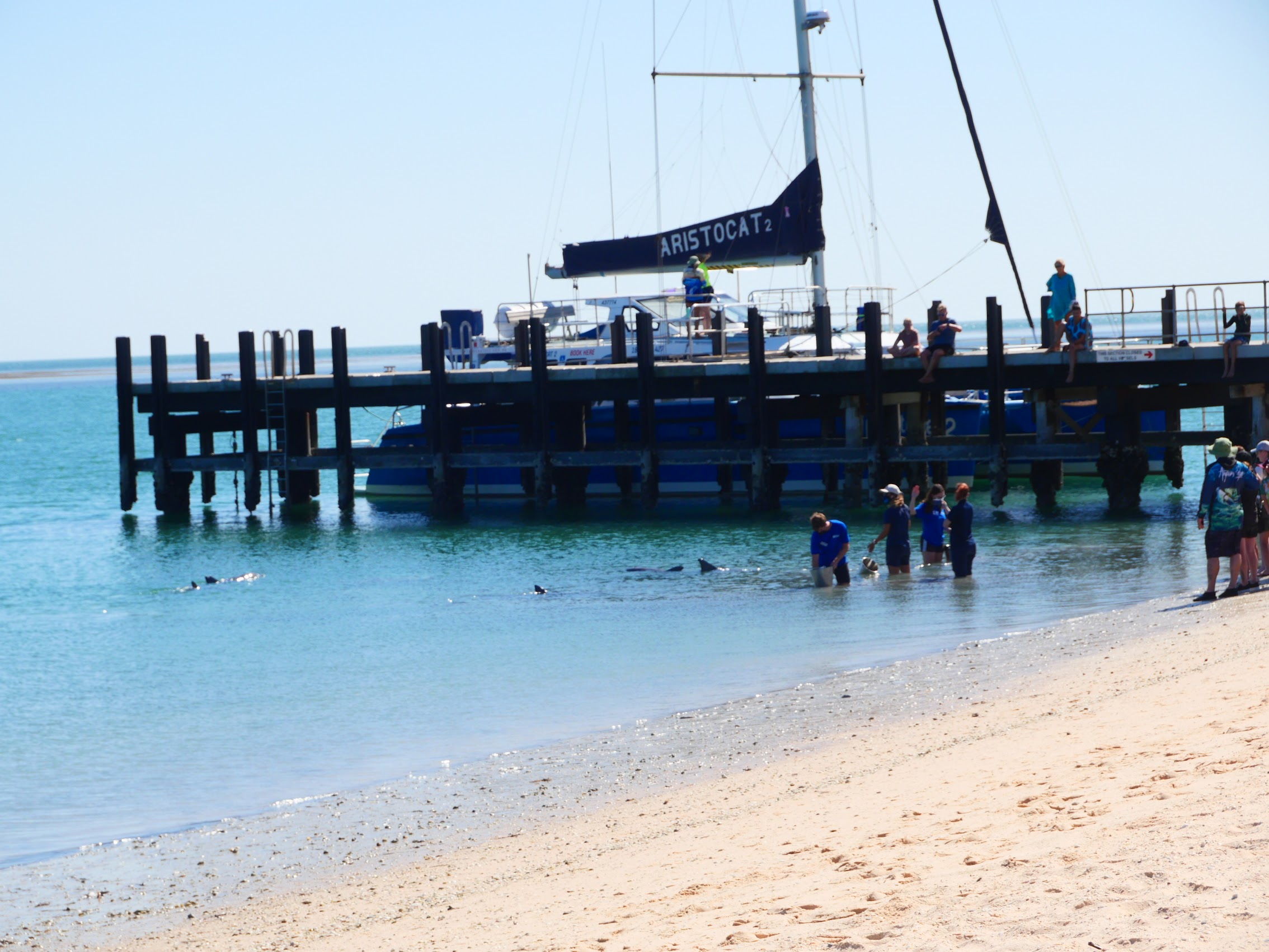
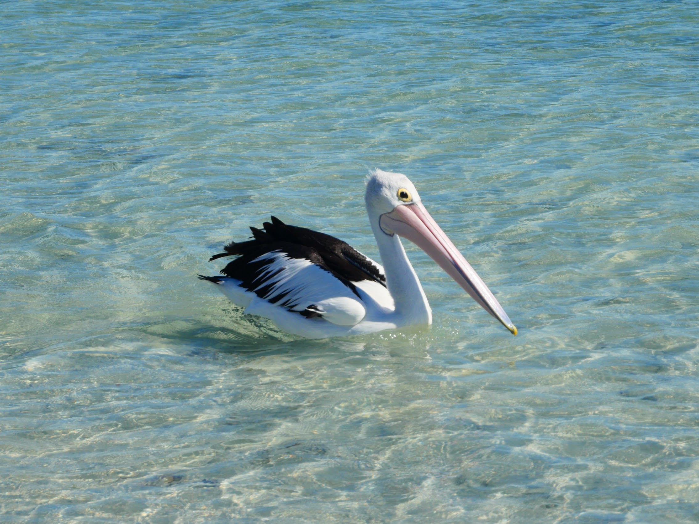
We watched one of these on our first morning, but we discovered that the dolphins hung around the resort all day swimming up and down the coast only a few yards off the beach, sometimes passing within a few feet of us when we were swimming. (Humans are supposed to stay at least 30 feet away from the dolphins, but apparently the dolphins have no such rules.) In addition to emu and dolphins, there were pelicans and a variety of fish, including quite a few rays to be seen just off the beach.
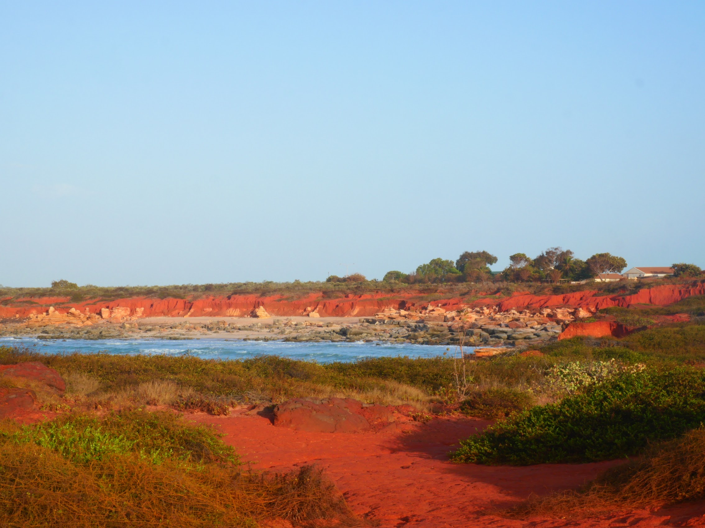
On one of our more ambitious days, we did take a hike out the Wulyibidi Yaninyina Walking Trail which winds through the sparsely vegetated dunes of the Monkey Mia Reserve before looping back along the beach. It was particularly interesting to see how the intensely red sand of the peninsula (very high iron content) gradually blends and transitions to the white sand beaches bordering Shark Bay.


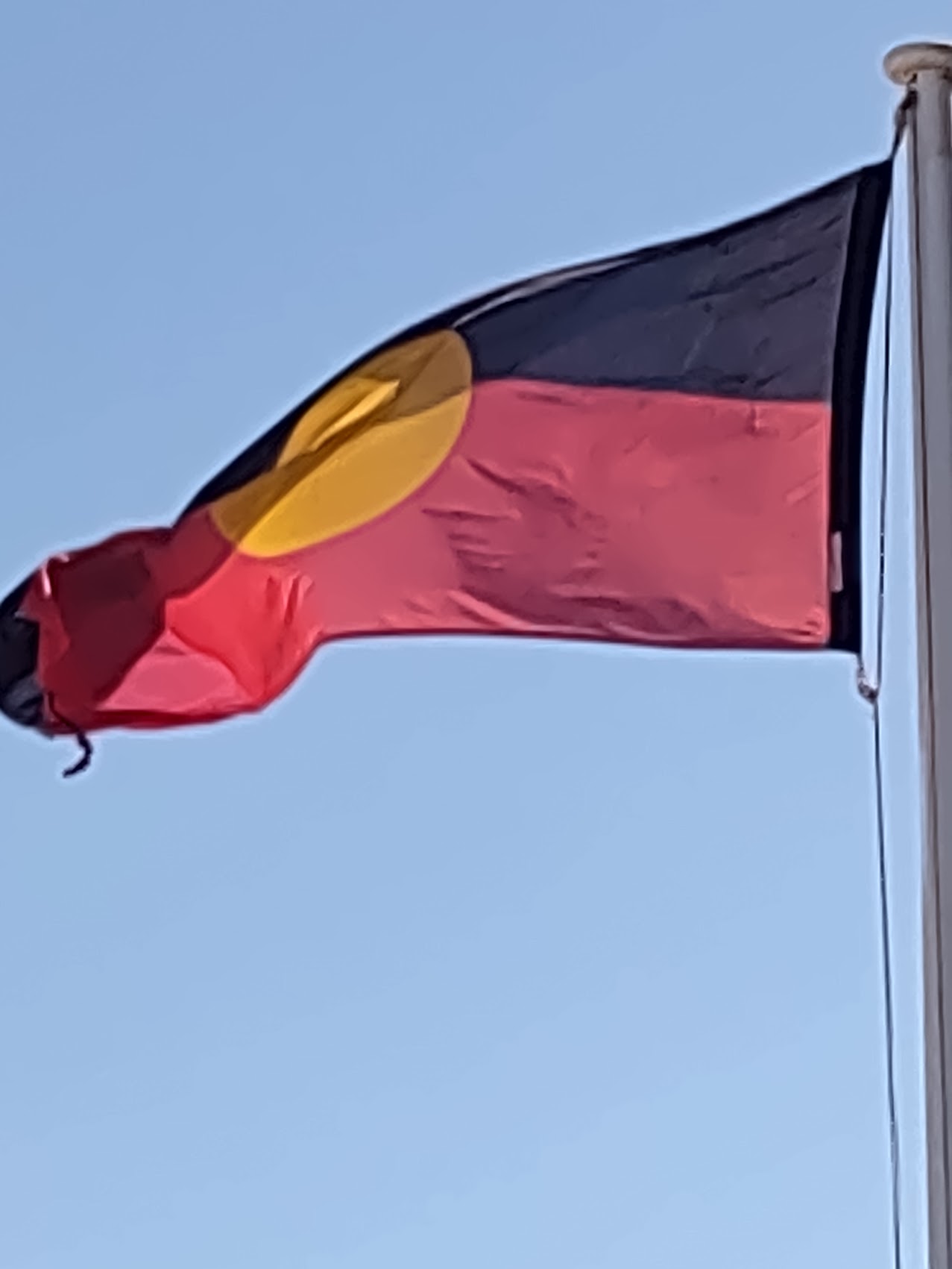
At some point during our stay, we noticed a flag flying at the resort center, beside the national flag of Australia, which we were unable to identify – a black stripe over a red one with a yellow disk in the center. When we enquired, we learned that this flag was the Australian Aboriginal Flag, officially adopted in 1995, with the red stripe representing the earth (it actually was that color in Monkey Mia), the gold circle representing the sun, and the black stripe representing the Aboriginal people. (Despite the flag’s presence, I don’t recall seeing a single Aboriginal person during our stay in Monkey Mia.)
Compared to the other resort stays we have had on this trip (the Movenpick Resort and Spa Dead Sea and the Sea Cliff Resort in Zanzibar), you’d be hard pressed to call the Monkey Mia Dolphin Resort luxurious. But, as I mentioned earlier, we found its range of accommodations, which allowed the resort to be enjoyed by a wider range of people with different means, to make it a much more interesting place to stay.
And for us, not having to cook or wash dishes, eating in the resort’s restaurants and drinking in the resort’s bars, actually seemed pretty hedonistic. Our three days there passed pleasantly but quickly, and before we knew it, it was time to pack it all up and hit the road again.
EXMOUTH
A Very Early Shuttle Ride
Getting to our next stop which required us to reverse the route we had followed coming to Monkey Mia. In order to meet the HOHO bus and continue up the coast we had to be back at the Overlander Road House in Hamelin Pool at 5 AM which (unfortunately) meant leaving Monkey Mia at 3 AM! We had gone back and forth on it but had in the end decided to book a room for that last night (checking out at 2:45 AM!), which turned out to be a good decision as we were able to get a bit of sleep before heading back to the now very dark and deserted resort center at to await our shuttle.
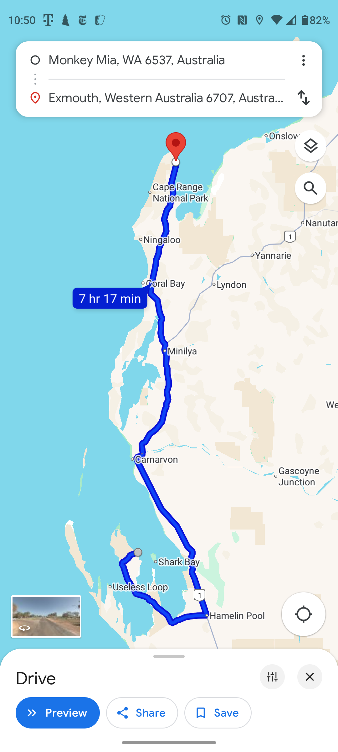
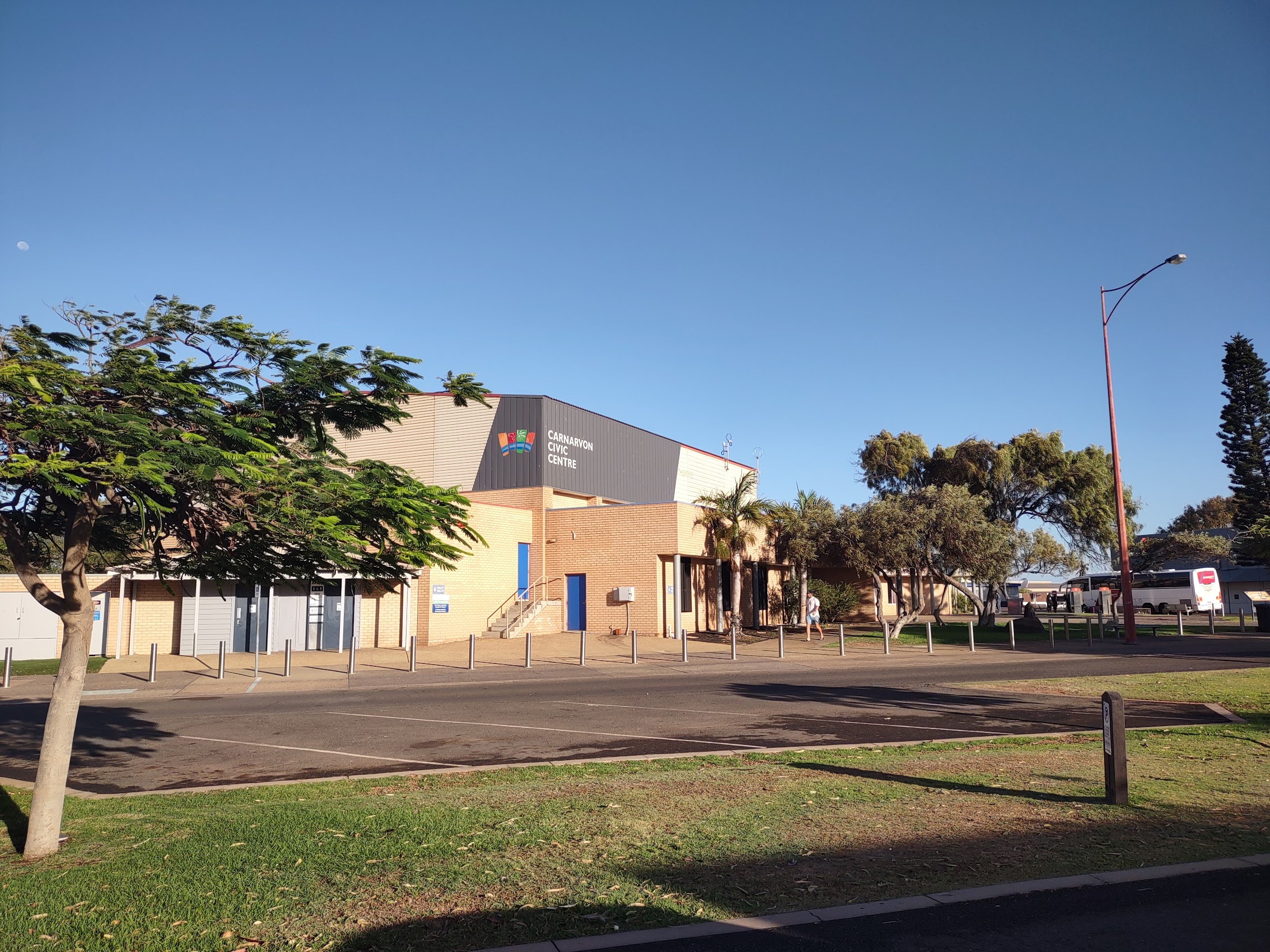
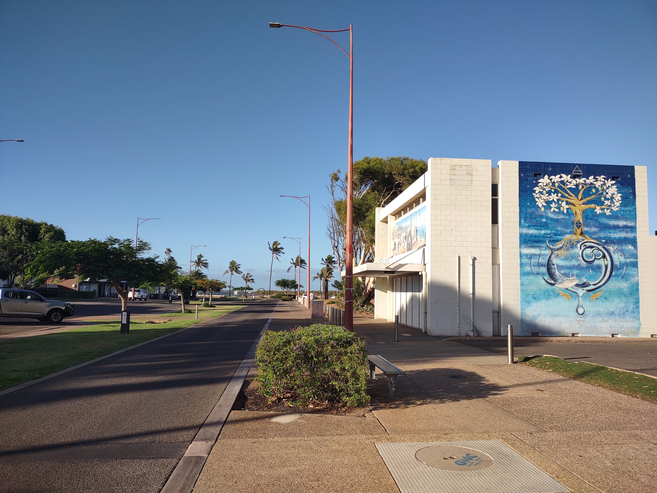
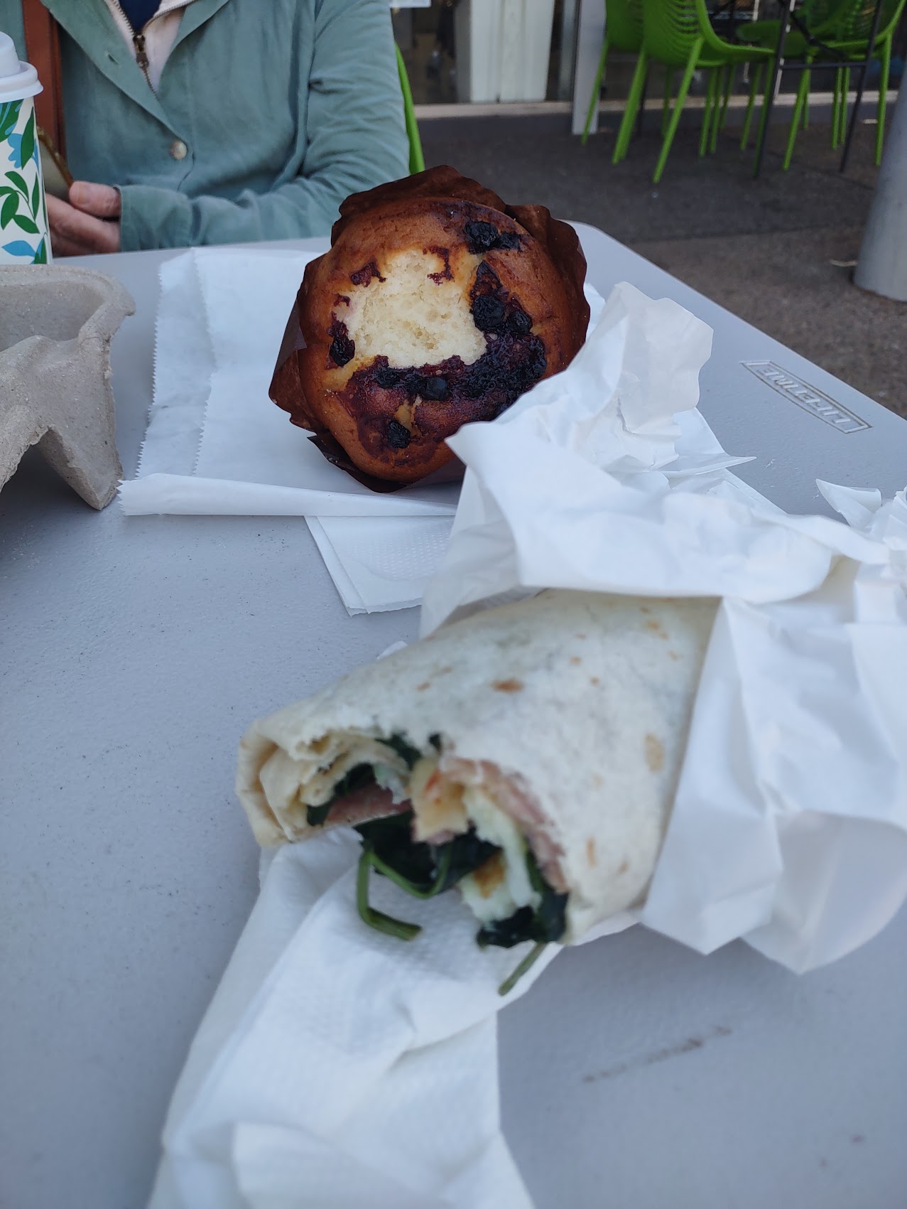
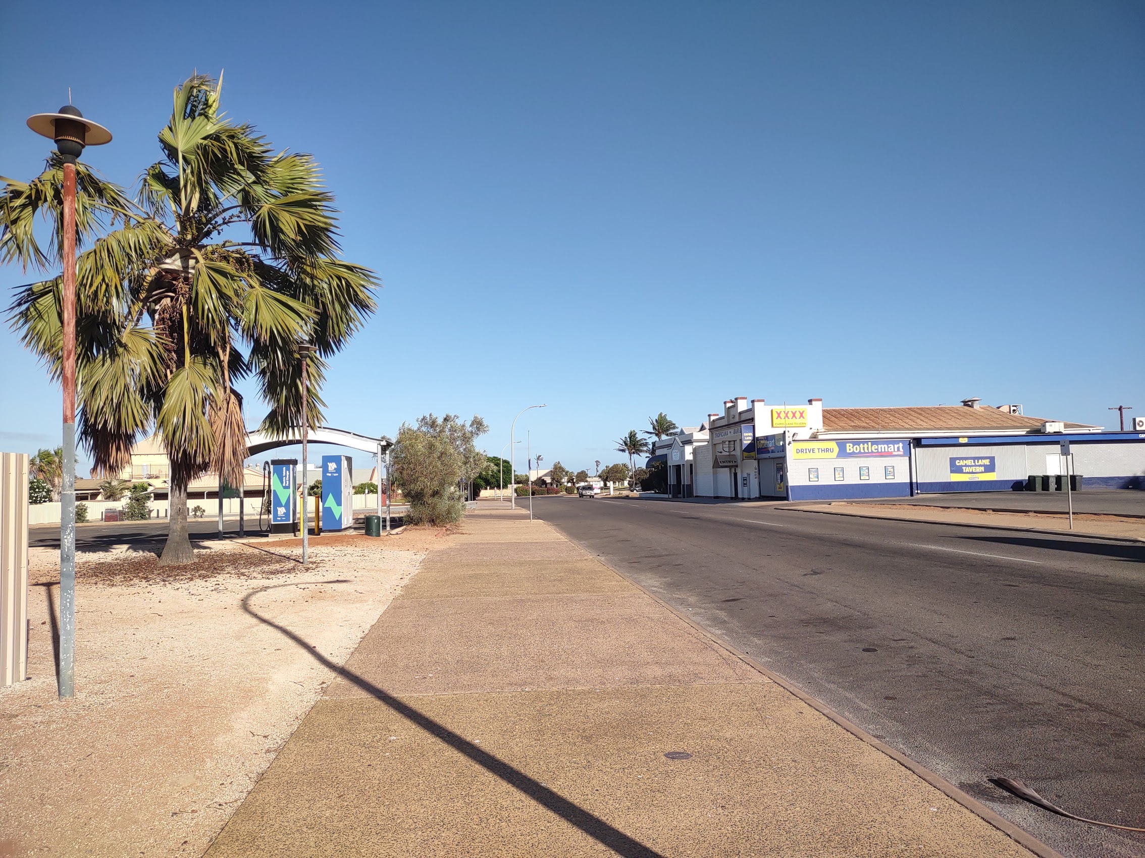
Once on the shuttle, it was all a bit of a blur, but do I have some vague recollection of transferring to the HOHO bus at the Overlander Roadhouse. We awoke around 7 AM as the bus was pulling into the town of Carnarvon for refueling and a breakfast break. We had a chance to stroll downtown Carnarvon, a town of about 5,000 people which we found to be rather quaint and already active. (The days tend to start earlier as the temperatures get higher.) We had time to grab a breakfast wrap and muffin before getting back on the bus to continue north.
Coral Bay
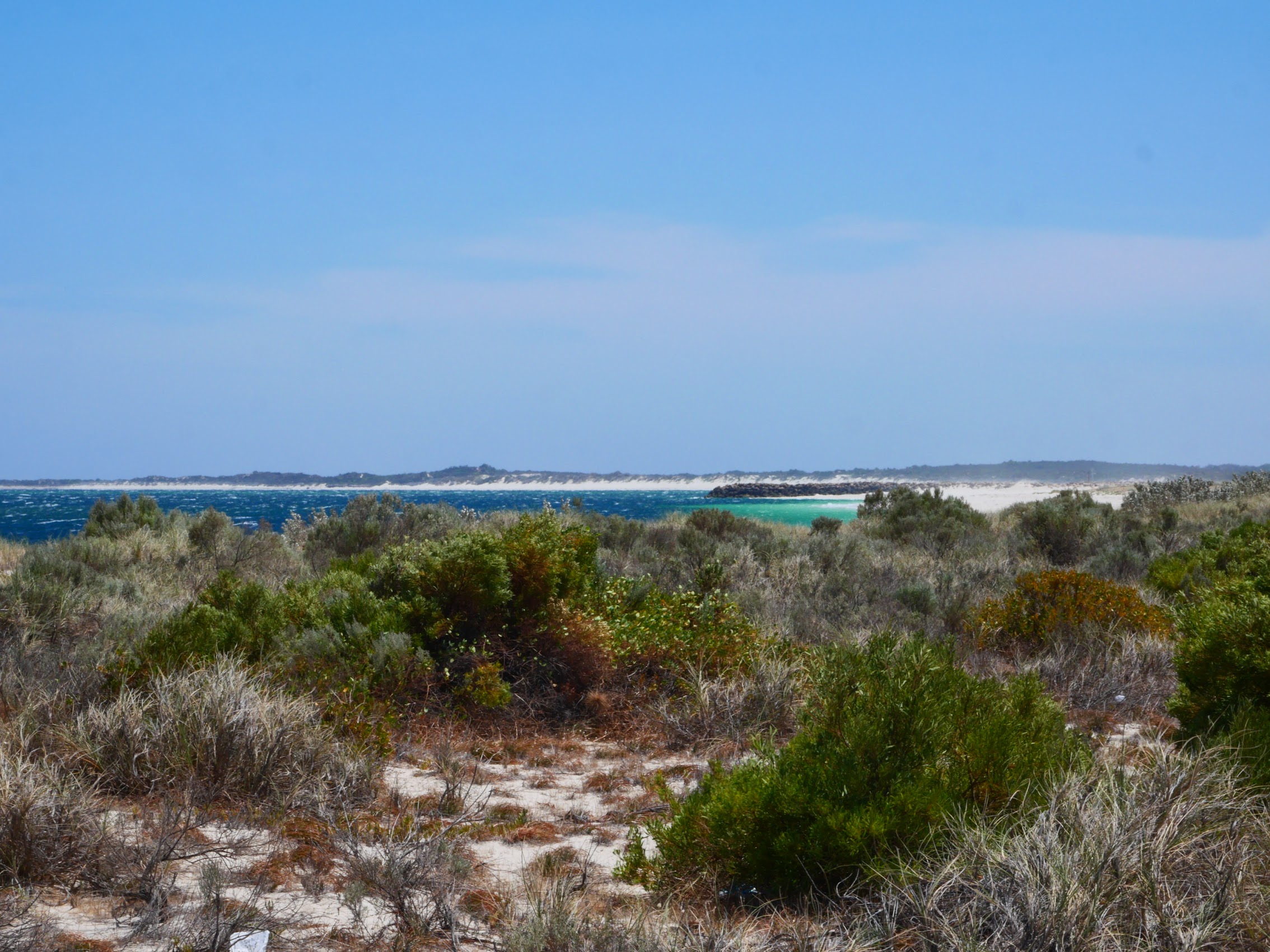
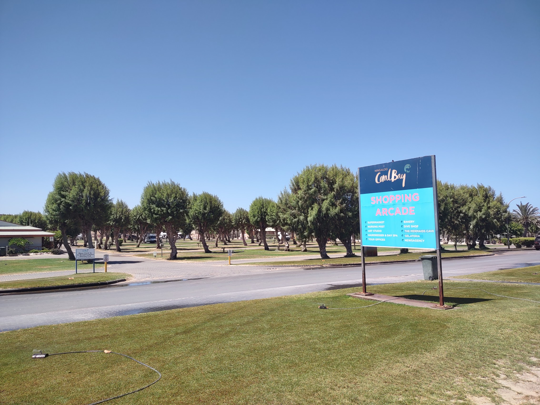
Around 10:30 AM we made a quick stop in the town of Coral Bay, a small coastal settlement located about 1,200 kilometers north of Perth. Although quite small, with a population of about 250 people, Coral Bay has become a popular tourist destination and largely owes its survival to revenue derived from wildlife tourism. This is because Coral Bay is the only settlement along the Ningaloo Coast, yet another UNESCO World Heritage site, which is bordered by the Ningaloo reef, Australia’s largest fringing reef and also the only reef which is within swimming distance of the coast.

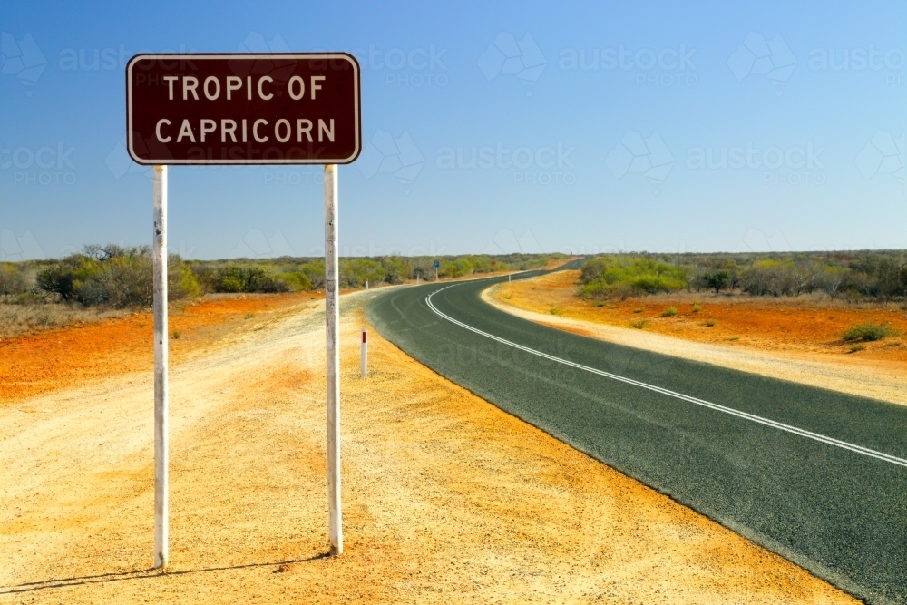
Tropic of Capricorn
For whatever it’s worth, somewhere just south of Coral Bay we crossed the Tropic of Capricorn (not Cancer), a reminder that we were in the southern hemisphere, but it still seemed counterintuitive for us that temperatures climbed as we travelled further north. (Though logical, as we were in fact moving toward the equator). What seemed even more odd in the southern hemisphere was the sensation that, due to its arc being reversed, the sun was actually rising in the west and setting in the east. All of this, of course being even more noticeable with the intense sun which dominated this wide open and fairly barren landscape.
Big Mounds
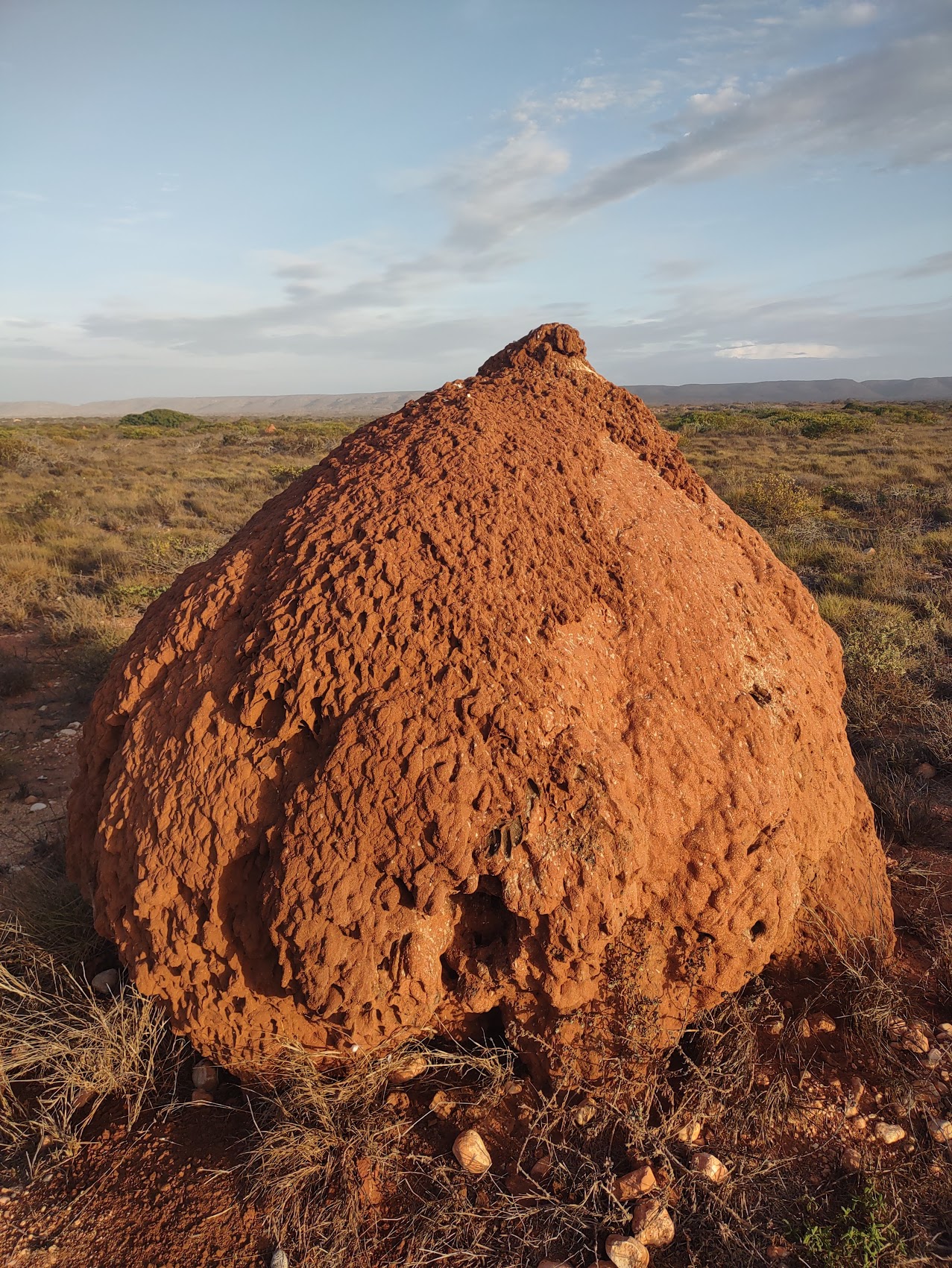
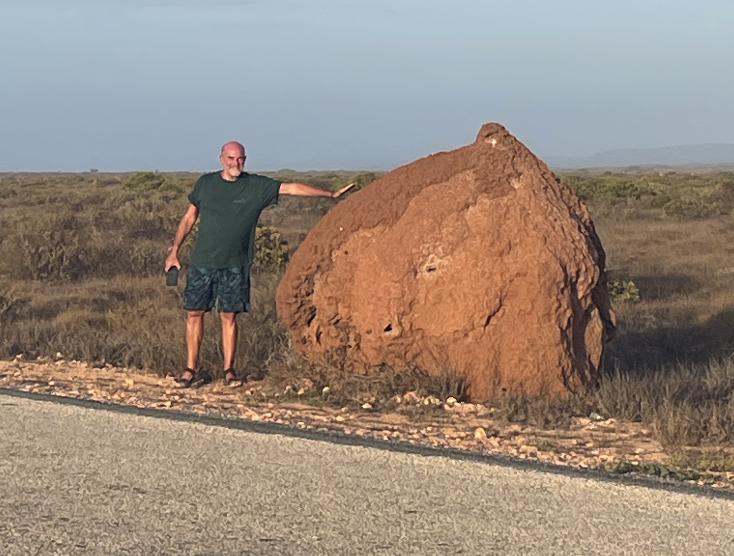
Since departing Jurien Bay, the landscape away from the coast had remained pretty much the same – relatively barren and featureless hardscrabble with scrubby plants only broken by an occasional cluster of skeletal trees or shrubs. But as we continued up the Ningaloo peninsula from Coral Bay we began to see large dirt mounds which were somewhat reminiscent of the rock pillars we had seen in the Pinnacles Desert. We asked our driver about these and were surprised to find that they were termite mounds (which, given their size, Colleen immediately declared to be a bit creepy).
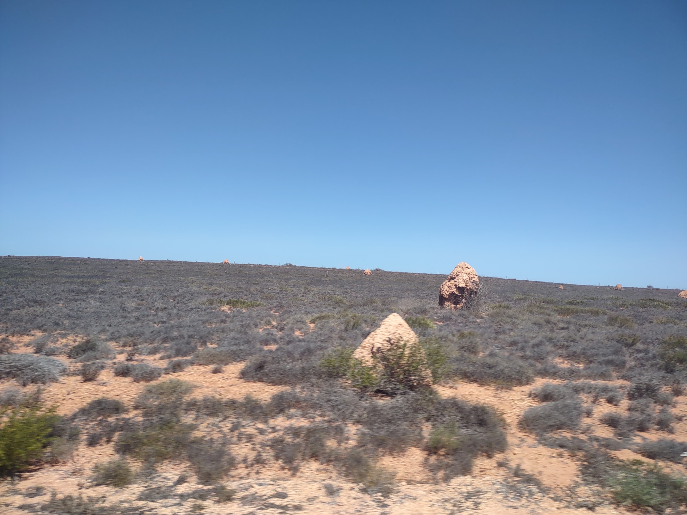
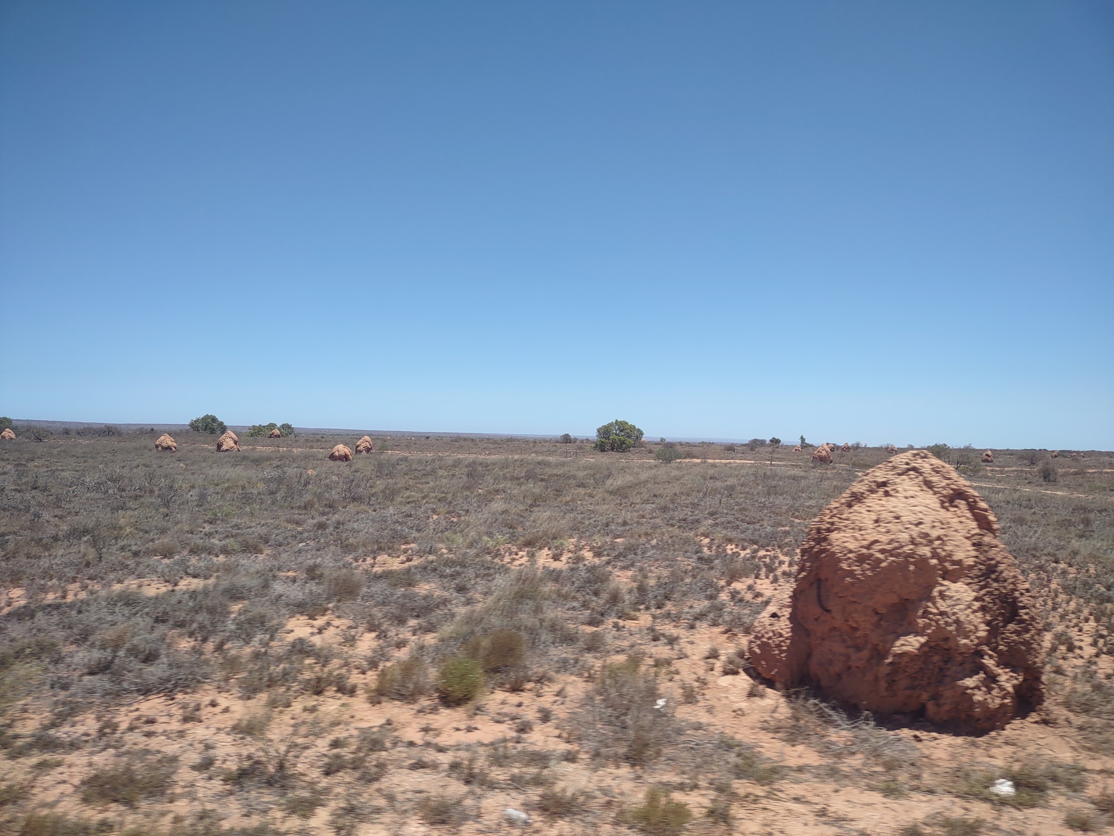
After doing a little research, I was surprised to find that termites are a very important part of the ecological systems in this part of Western Australia, converting indigestible fiber in plants into food for a diversity of animals. Additionally, the mounds which they construct, which can apparently reach heights of 20 feet or more (the ones we saw were generally around 6 feet or so tall – plenty big enough!) serve as shelter for a variety of small reptiles, birds, and lizards. (Later in our stay on the Ningaloo Peninsula we had the opportunity to examine some of these more closely and, although there was no visible termite activity, being near them definitely makes your skin crawl and itch!)
The Ningaloo Lodge
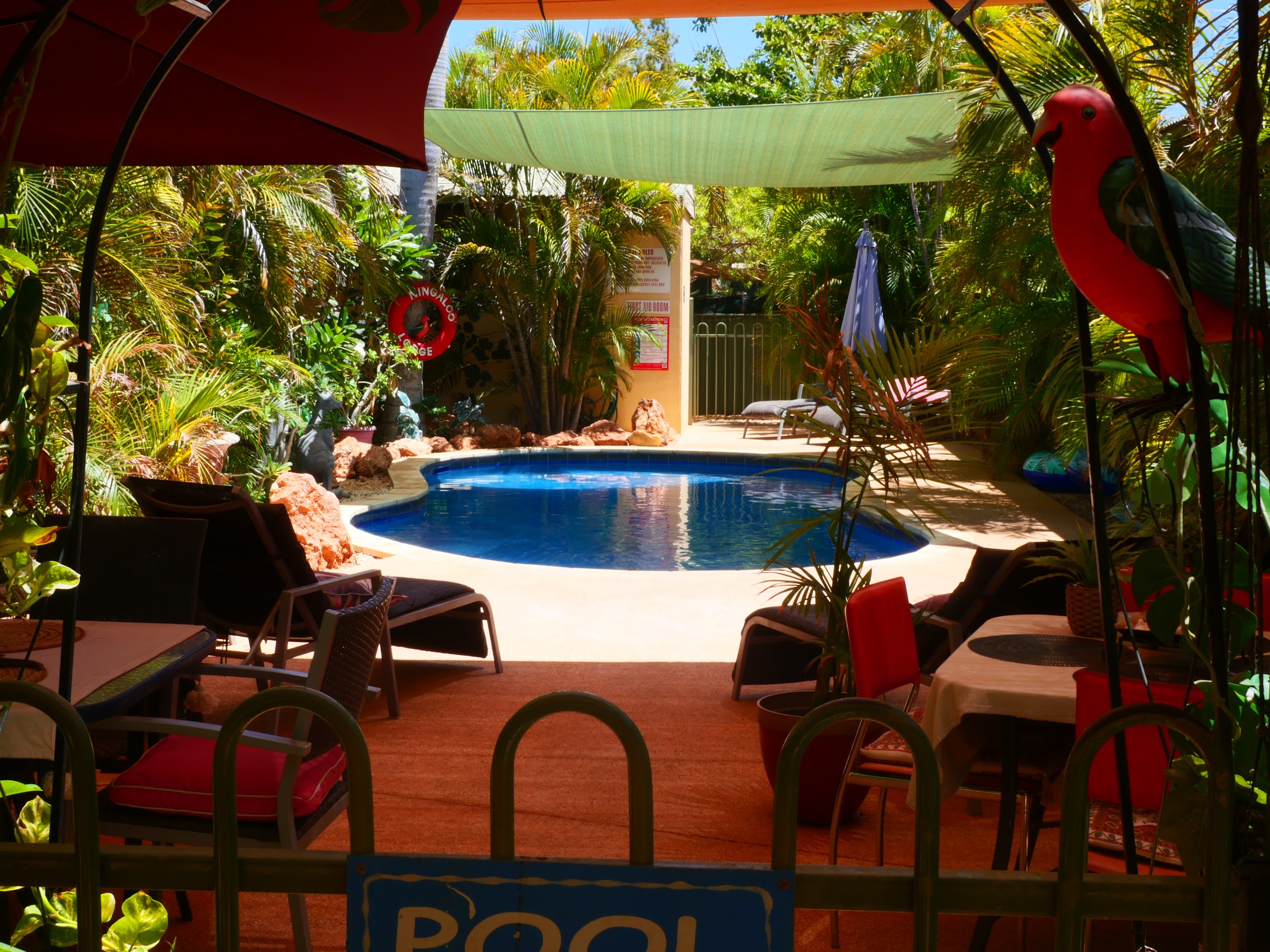
After a couple of more hours of driving, the HOHO bus dropped us in the small town of Exmouth on the North West Cape of the Ningaloo Coast. Arriving around 12:30 PM (the most hospitable HOHO bus time thus far) we were able to walk from the bus stop in the center of town to our stay for the next four nights, the lovely Ningaloo Lodge, where we were able to check right in.
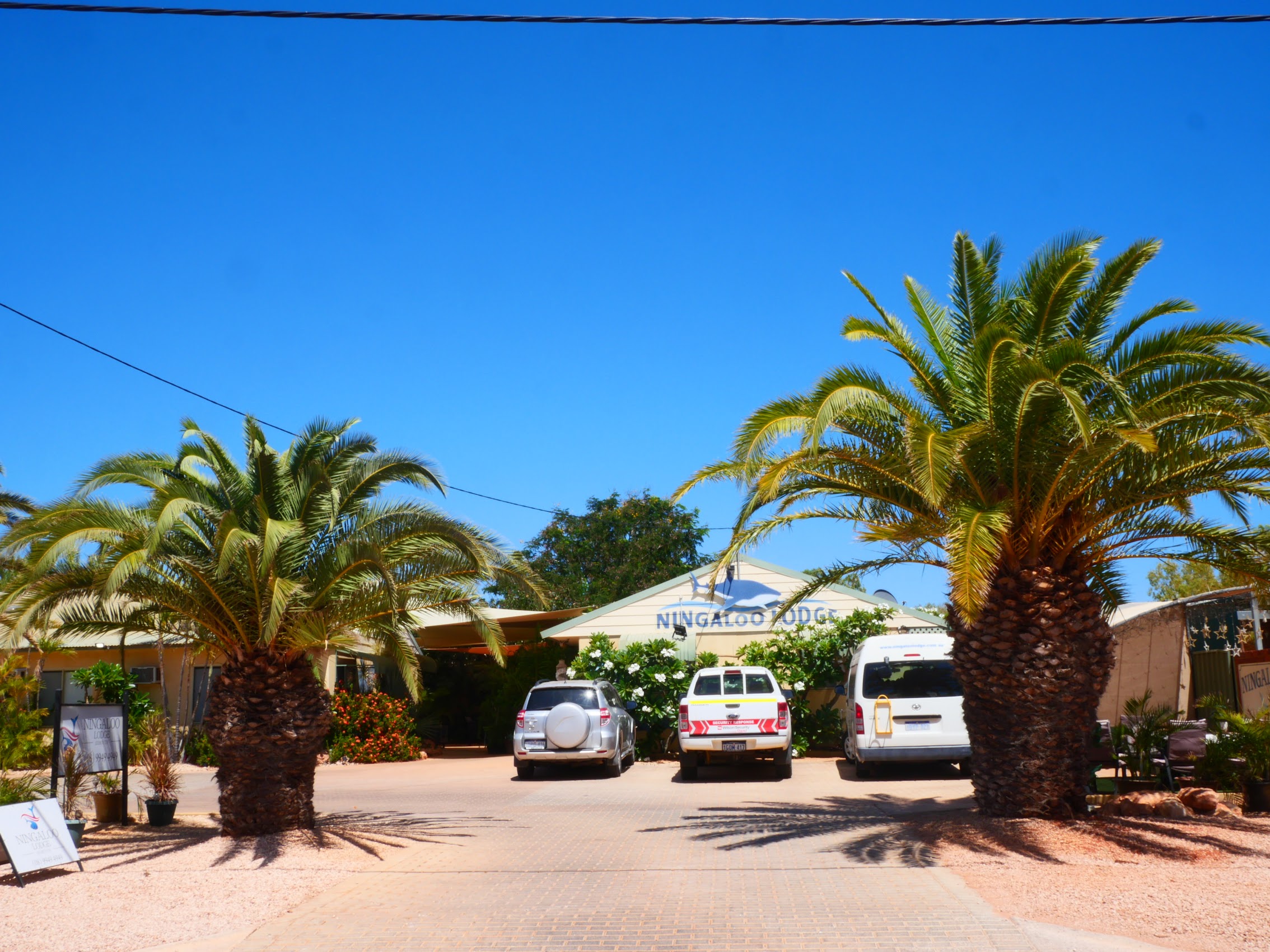
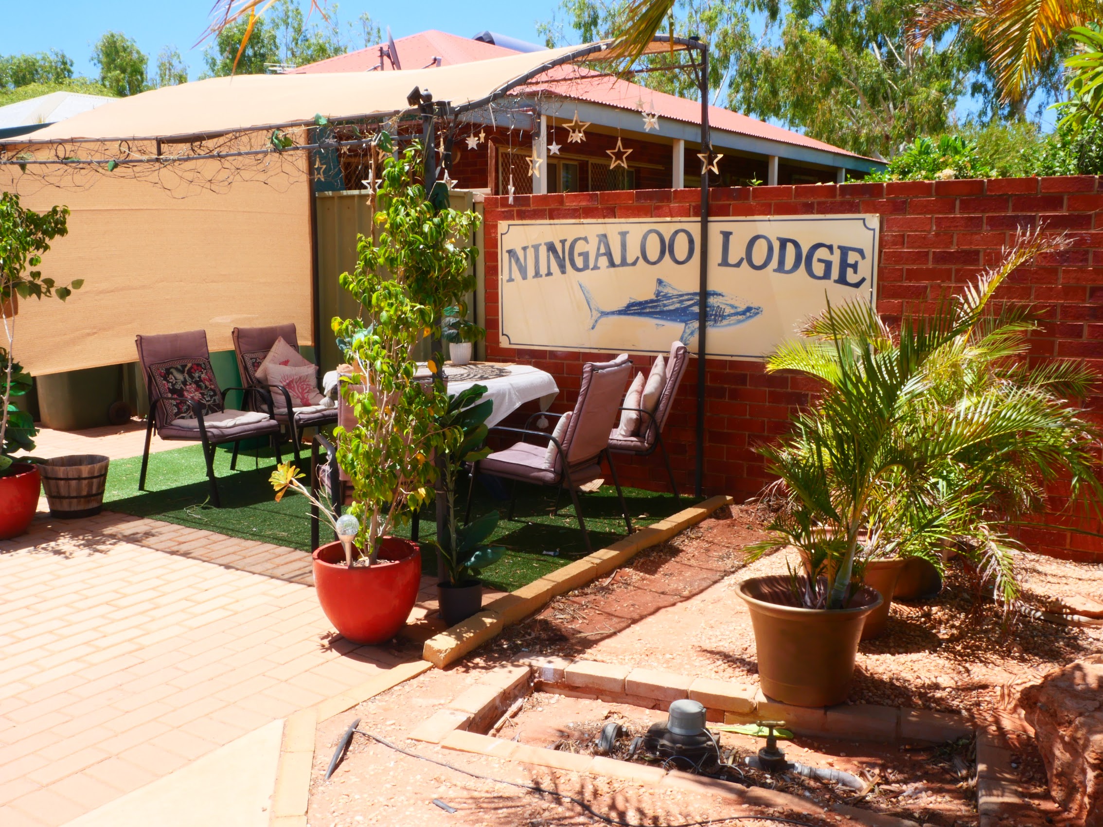

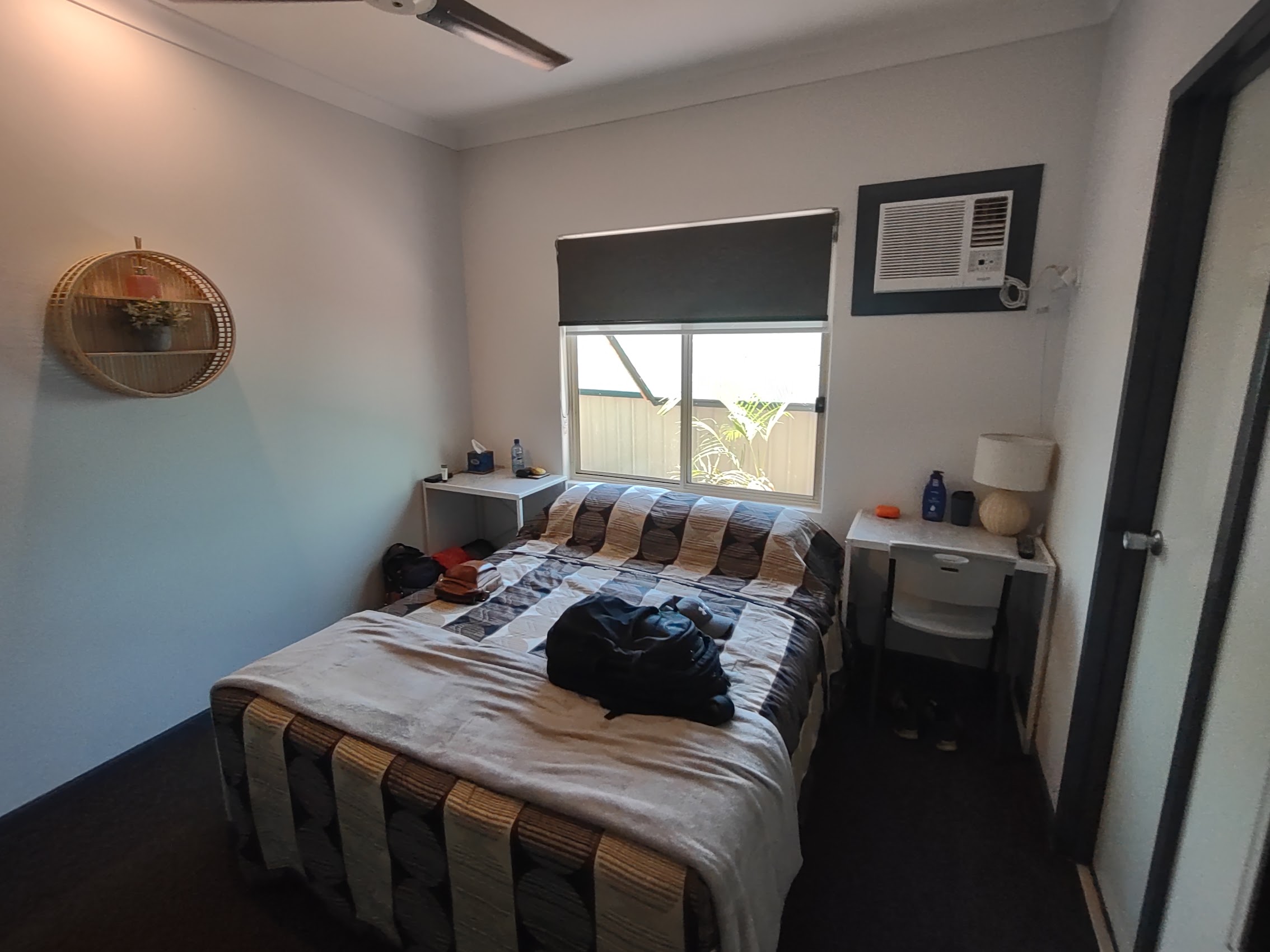

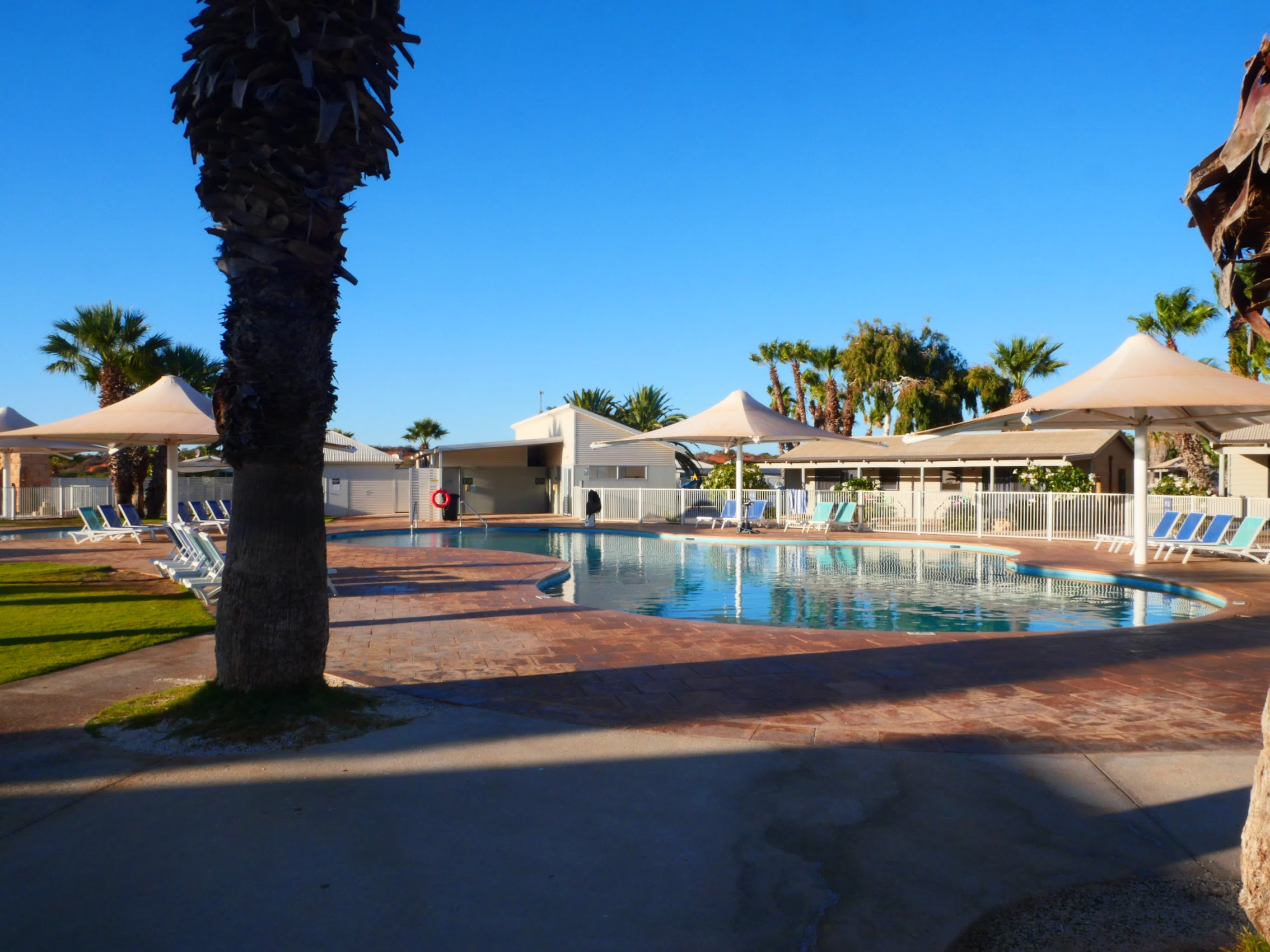
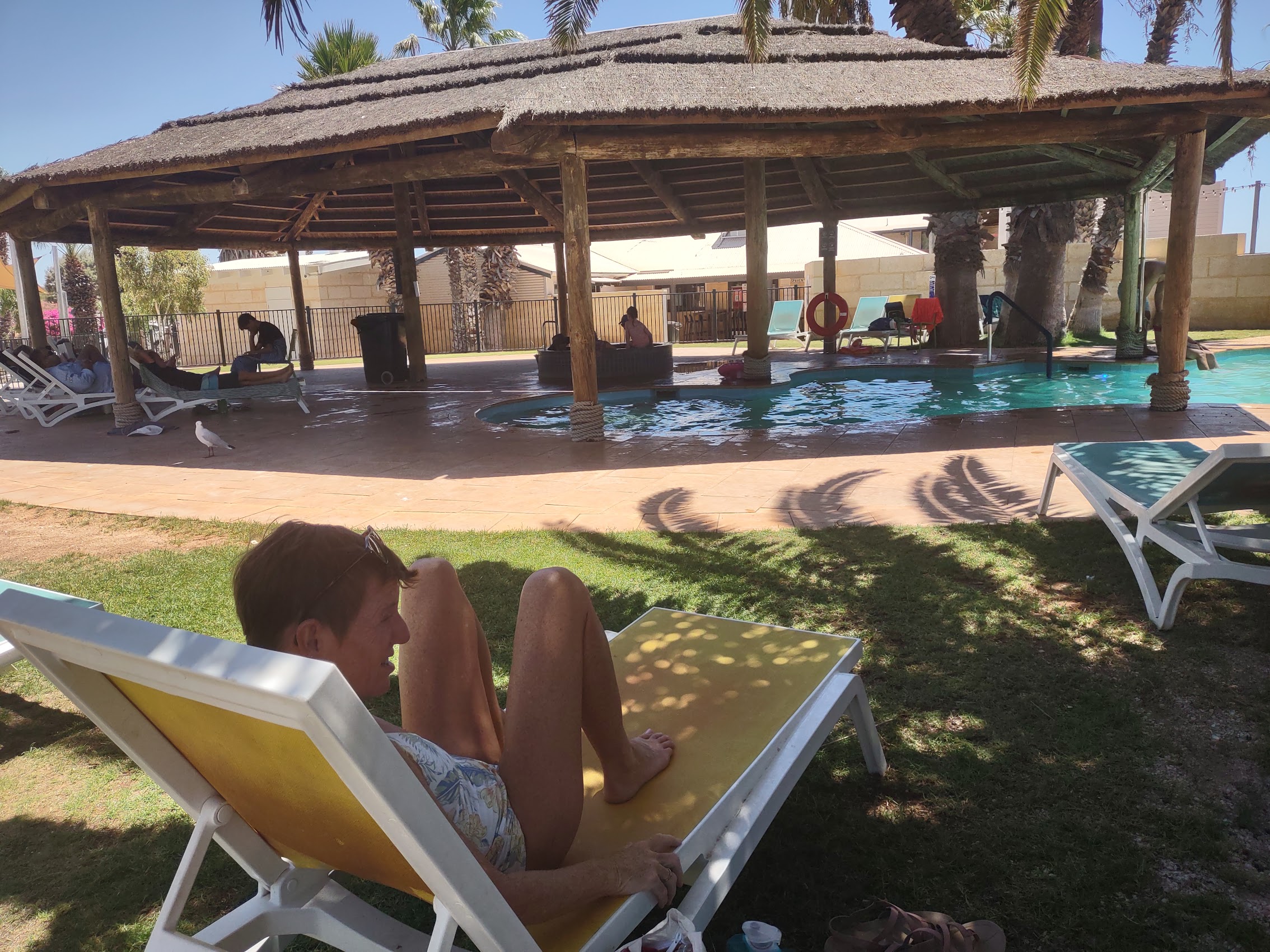
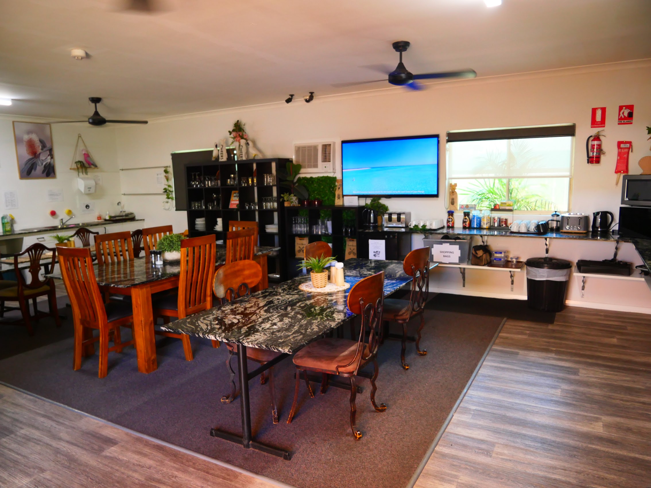
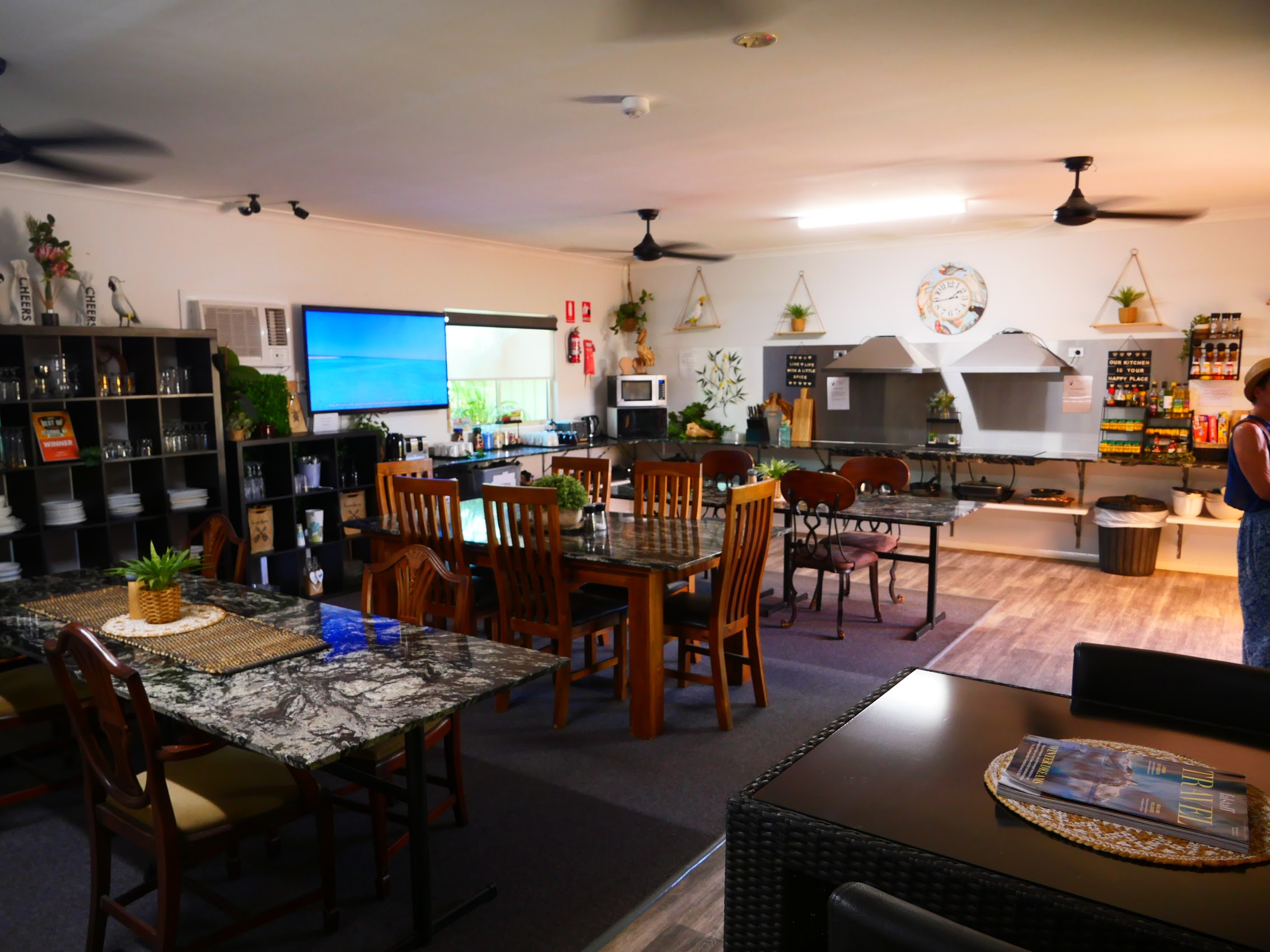
Like our place in Monkey Mia, our room at the Ningaloo Lodge was a pretty basic hotel room but without the balcony, beach, dolphins, or emus, that was where any similarity between the two places ended. However, our room did have a medium size fridge with a separate freezer compartment (I do love my ice!), and the Lodge had a shady courtyard with a pool, and a very well-equipped kitchen in a large air-conditioned common area, all of which were welcome as daily temperature highs were now reaching into the low 100’s.
Exmouth History
We didn’t really know much about the history of Exmouth before we arrived (other than its location, which was why we were there), but on a trip to the Ningaloo Center (the local visitor center, museum, and aquarium), we discovered that it has a rather unique and interesting history, even by Australian standards .

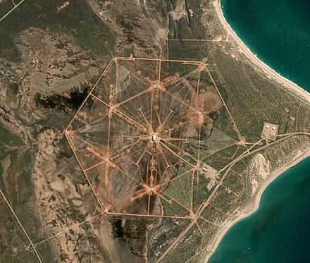
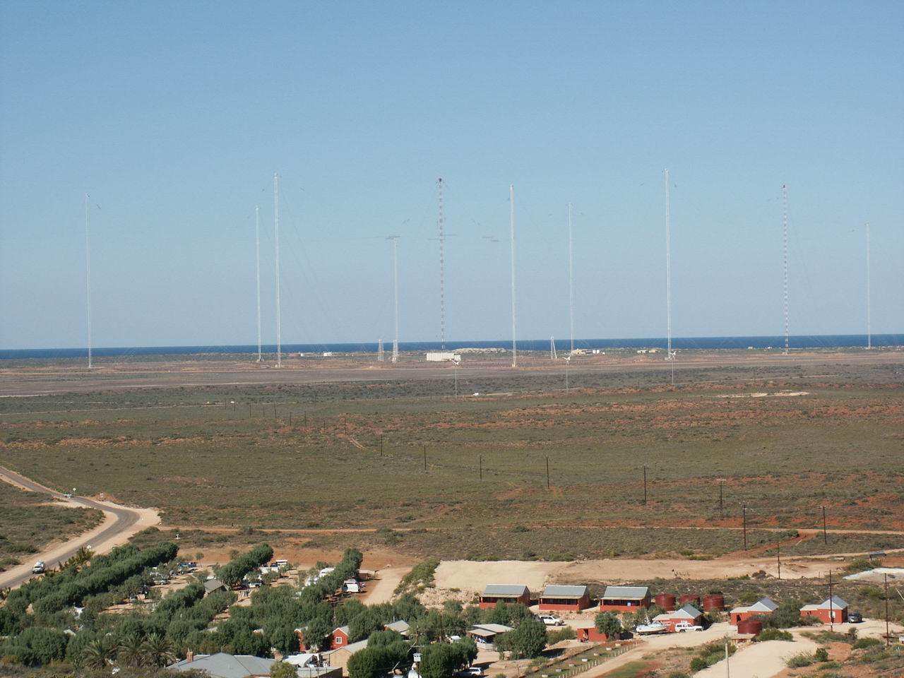
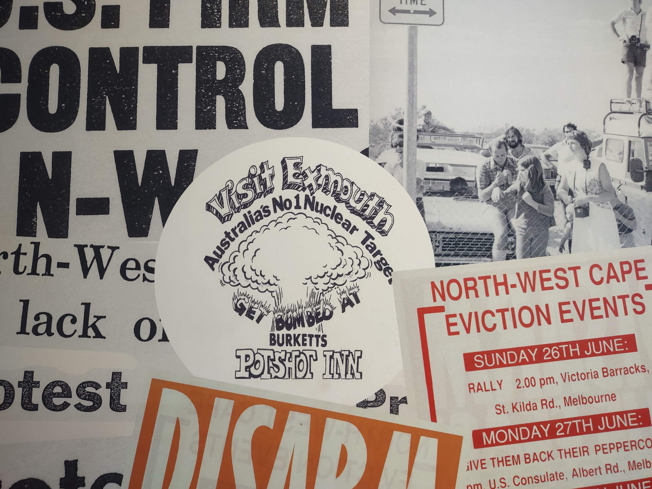
During World War II, the location was utilized as a secret U.S. military base code-named “Potshot” which served as a submarine refueling base and rest camp. In the early sixties, it became the site of the US Naval Harold E. Holt Communication Station, which utilized very low frequency (VLF) radio transmissions to support communications with ships and submarines in the western Pacific Ocean and eastern Indian Ocean. (Communications with nuclear submarines in the region was considered pretty important during the cold war era and we came across some anecdotes which suggested that Exmouth was therefore Russia’s number 1 nuclear target in Australia!)
The town of Exmouth was established in the mid-1960’s to provide support to the base and to house dependent families of US Navy personnel and, beginning in the late 1970s, United States Air Force personnel assigned to the Learmonth Solar Observatory, a defense science facility jointly operated with Australia’s Ionospheric Prediction Service. At the time, it was actually considered a bit of a social experiment with Americans and Australians living side by side in a very remote and isolated place with very limited communications with the outside world.
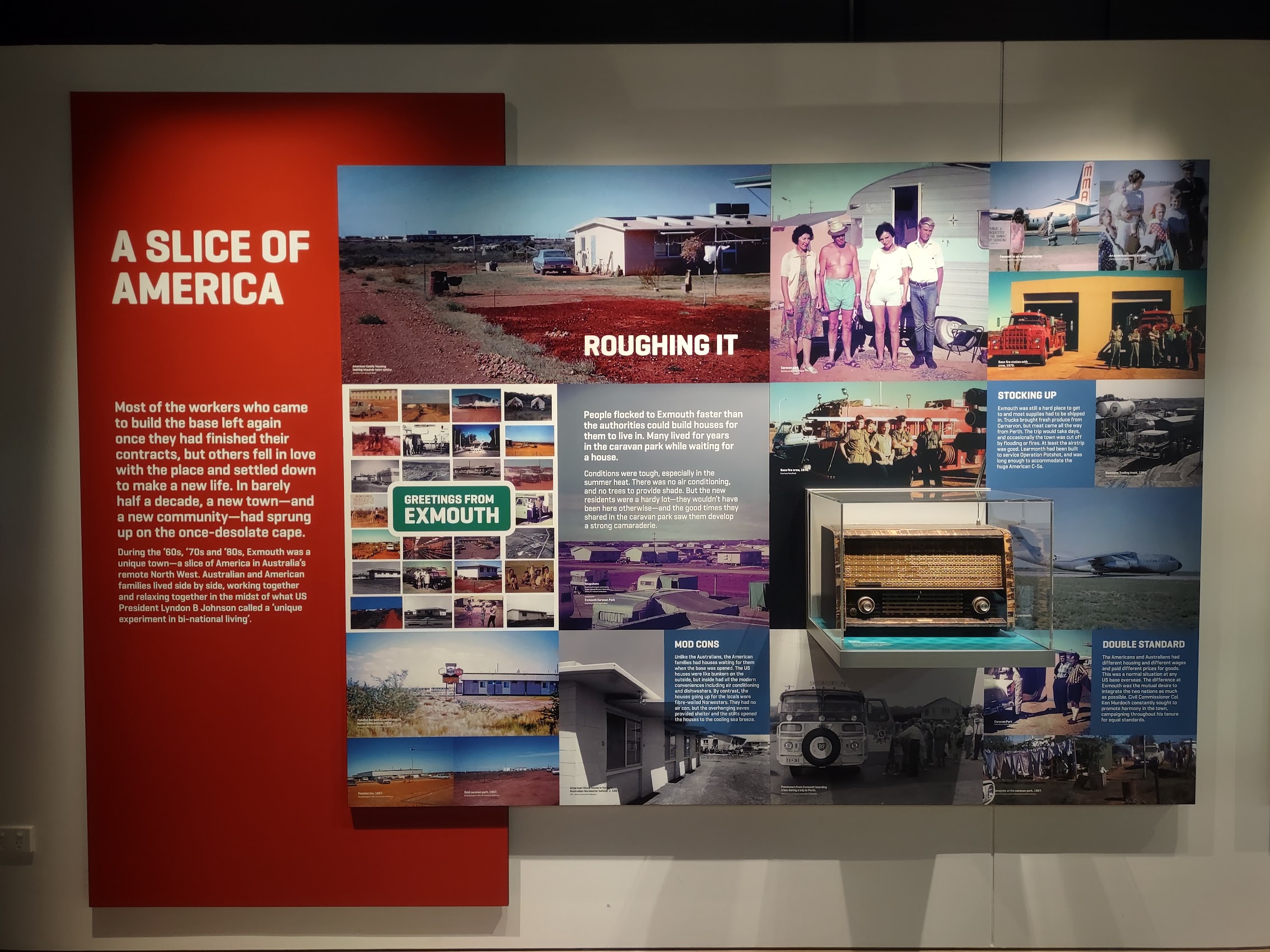
We came across a lot of interesting stories and photographs of what Exmouth was like in those days. Many of these stories involved efforts to maintain American traditions like holiday celebrations. (Many of them also involved efforts to beat the extreme heat!) My favorite was seeing photographs of Mustangs and other American muscle cars (which U.S. military personnel had apparently managed to have transported there) tooling around the town of Exmouth. Photographs of Exmouth at that time suggest that it was little more than a trailer park but it seems to have had a bit of a hippie vibe going (it was the 60’s and 70’s after all!).
Exmouth Today
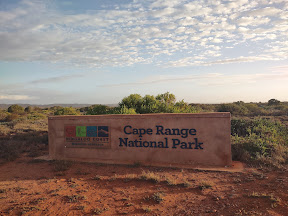
Today, Exmouth has a population of about 2,500 which swells to 6,000 during tourist season and, like Coral Bay, it owes its continued existence to its location near the Ningaloo Coast as well as being the portal to the Cape Range National Park, a protected wilderness area with a large river-carved limestone plateau and pristine beaches.
After checking into the Ningaloo Lodge and fixing some lunch, we wandered back into the town center to get the lay of the land and confirmed our earlier sense that it was much hotter here than it was in Monkey Mia. The Exmouth town center, which was only about a ten-minute walk from the Ningaloo Lodge, is situated on a crescent off the main the road and, although not directly on the water, was a little reminiscent of Jurien Bay.
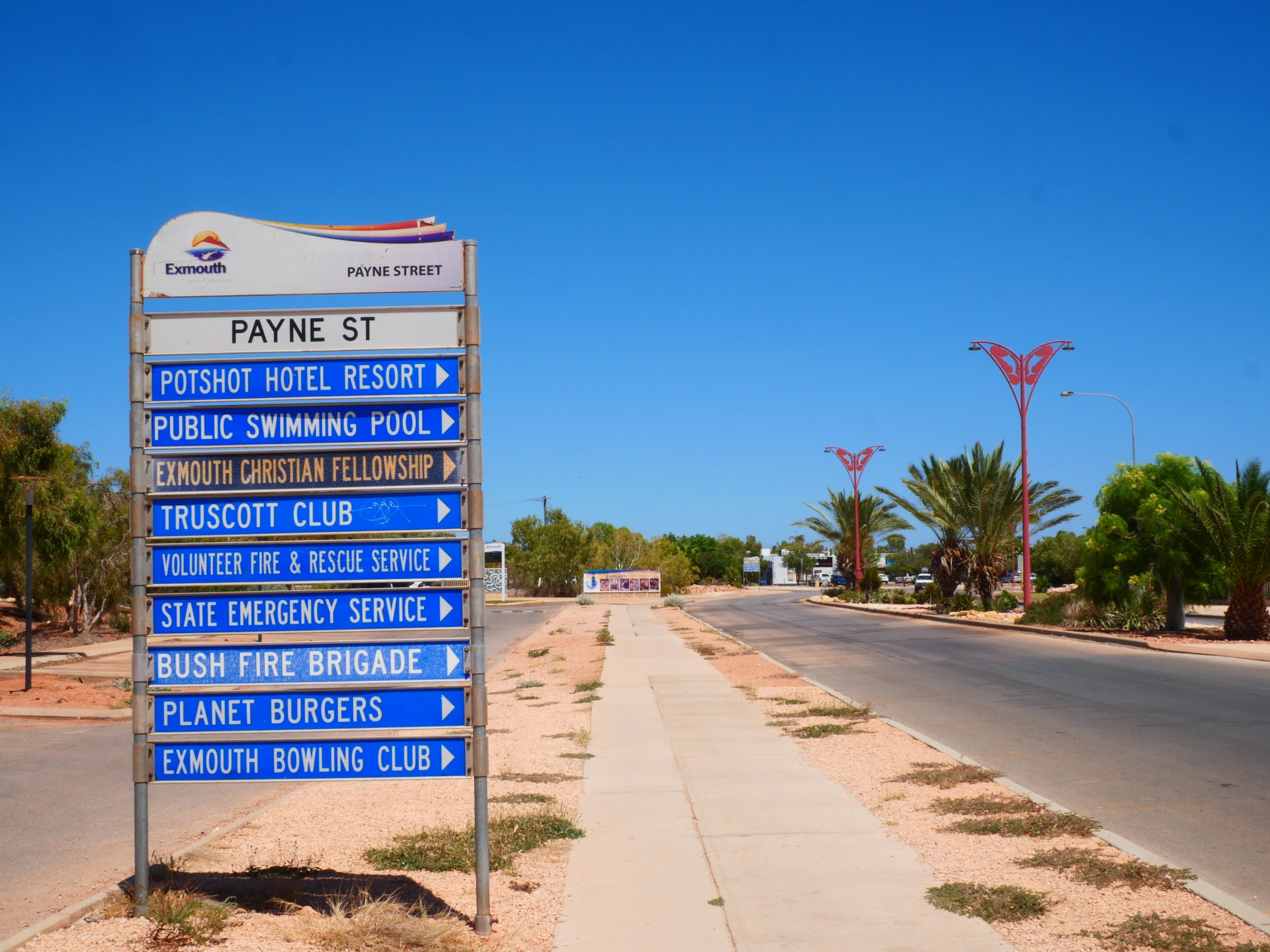
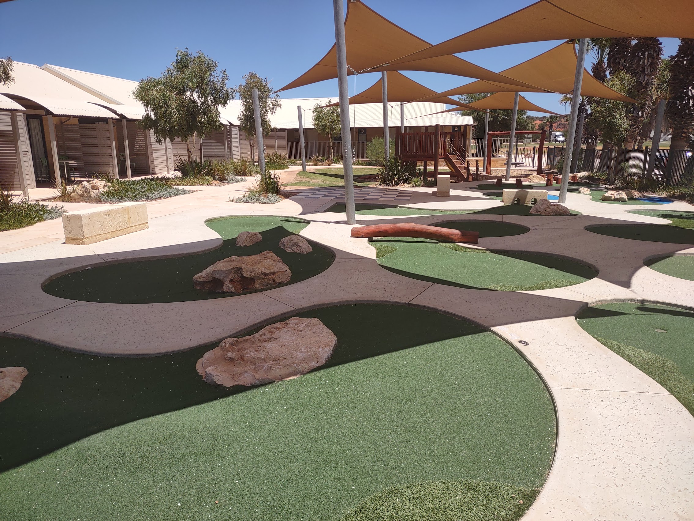
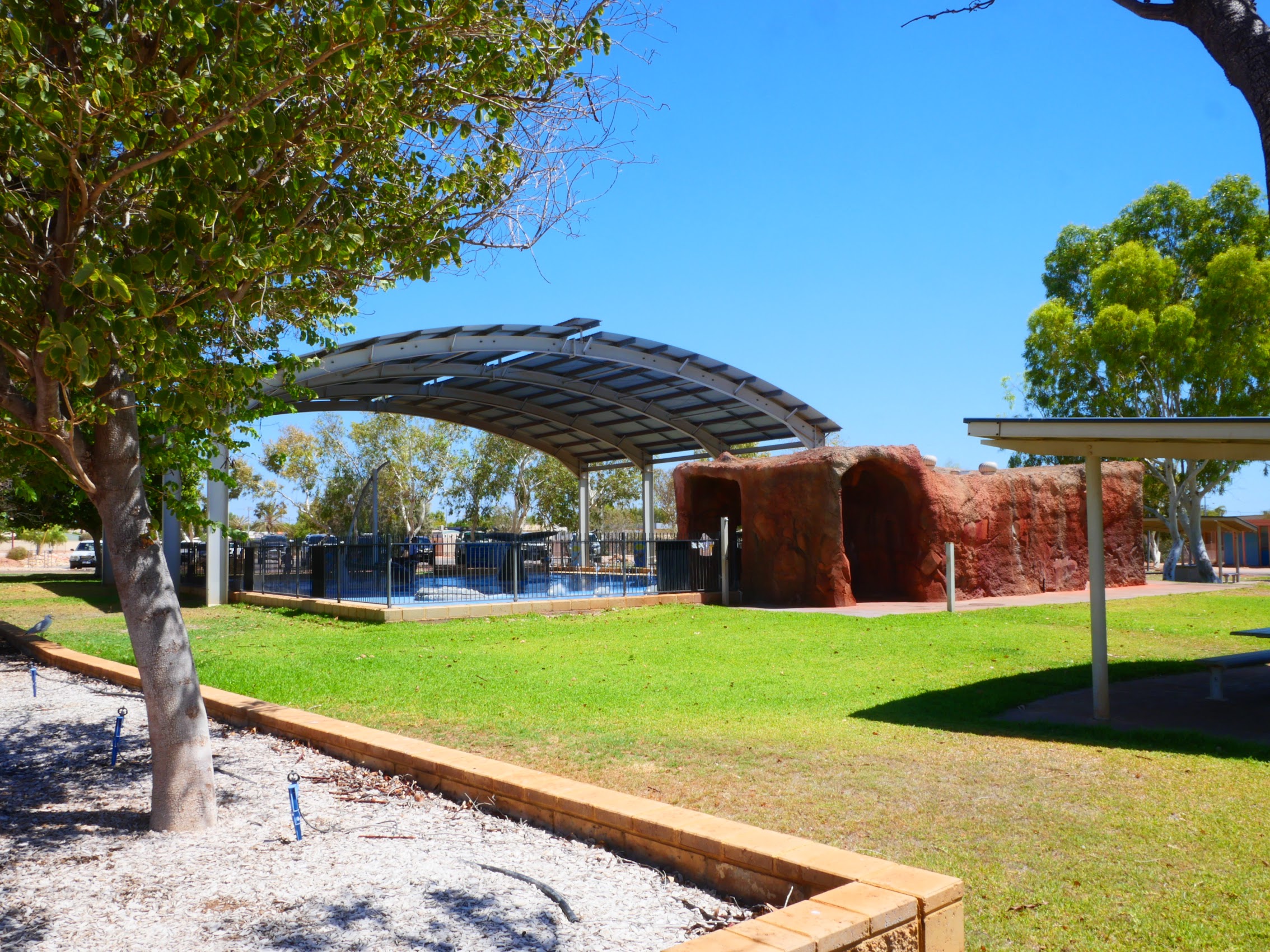
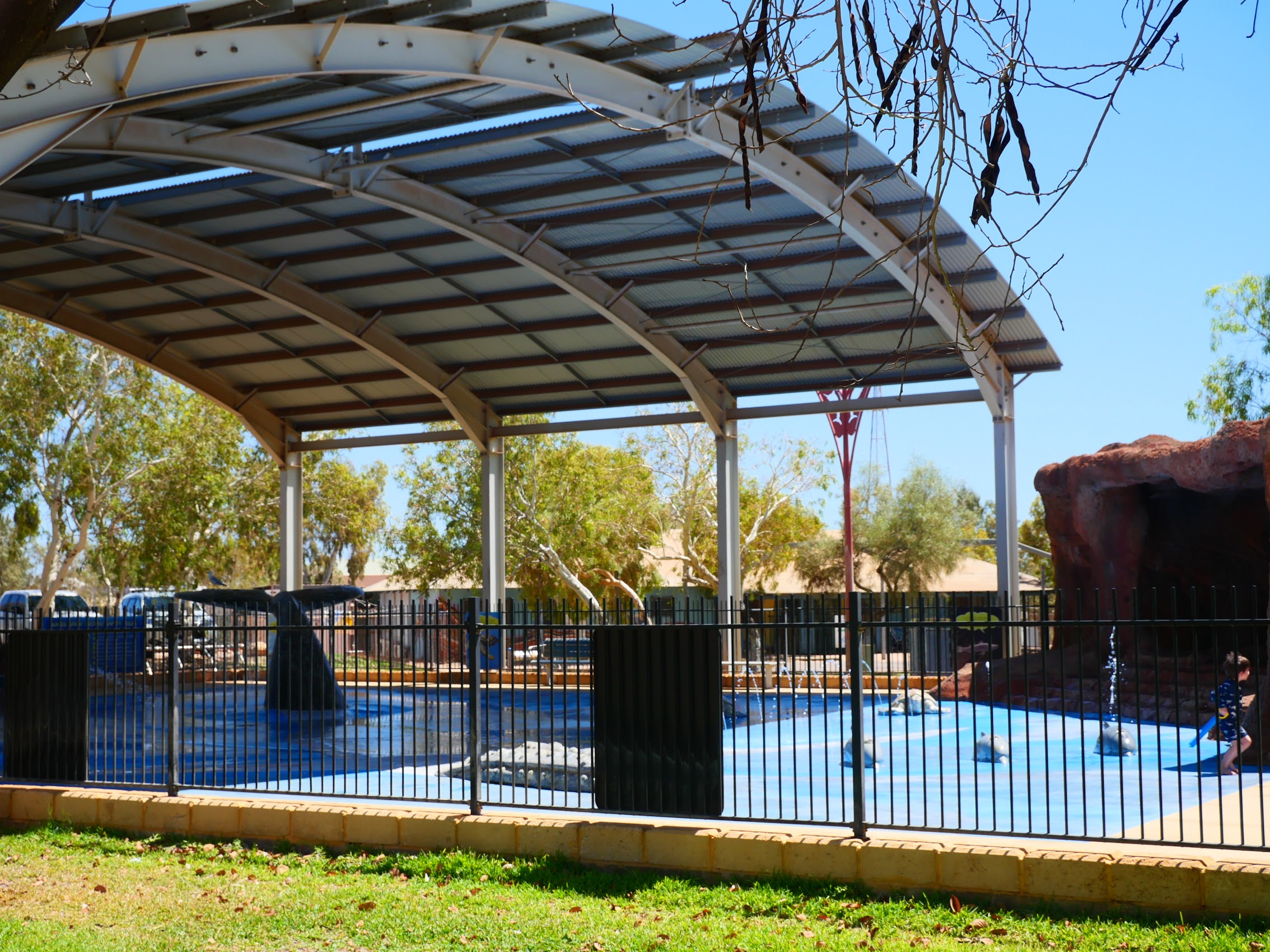
Like Jurien Bay, it had pretty much everything we could ask for including a full-blown IGA grocery store, a variety of interesting surfer and beach shops, a great bakery, a couple of restaurants, and a brew pub. The town center also had lots of shade structures (which were pretty welcome given the glaring sun and oppressive heat during the day) and there was a nice park across the street with more shade structures and a pretty nice spray ground.

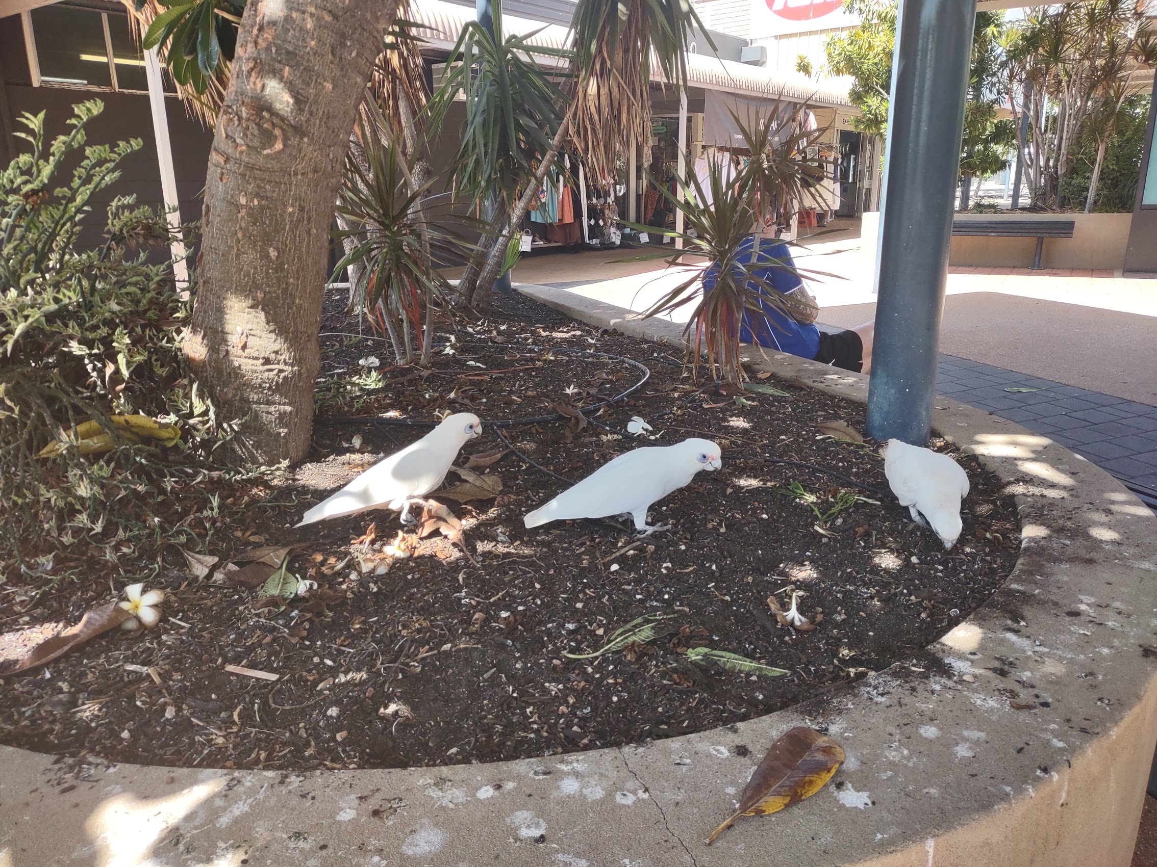
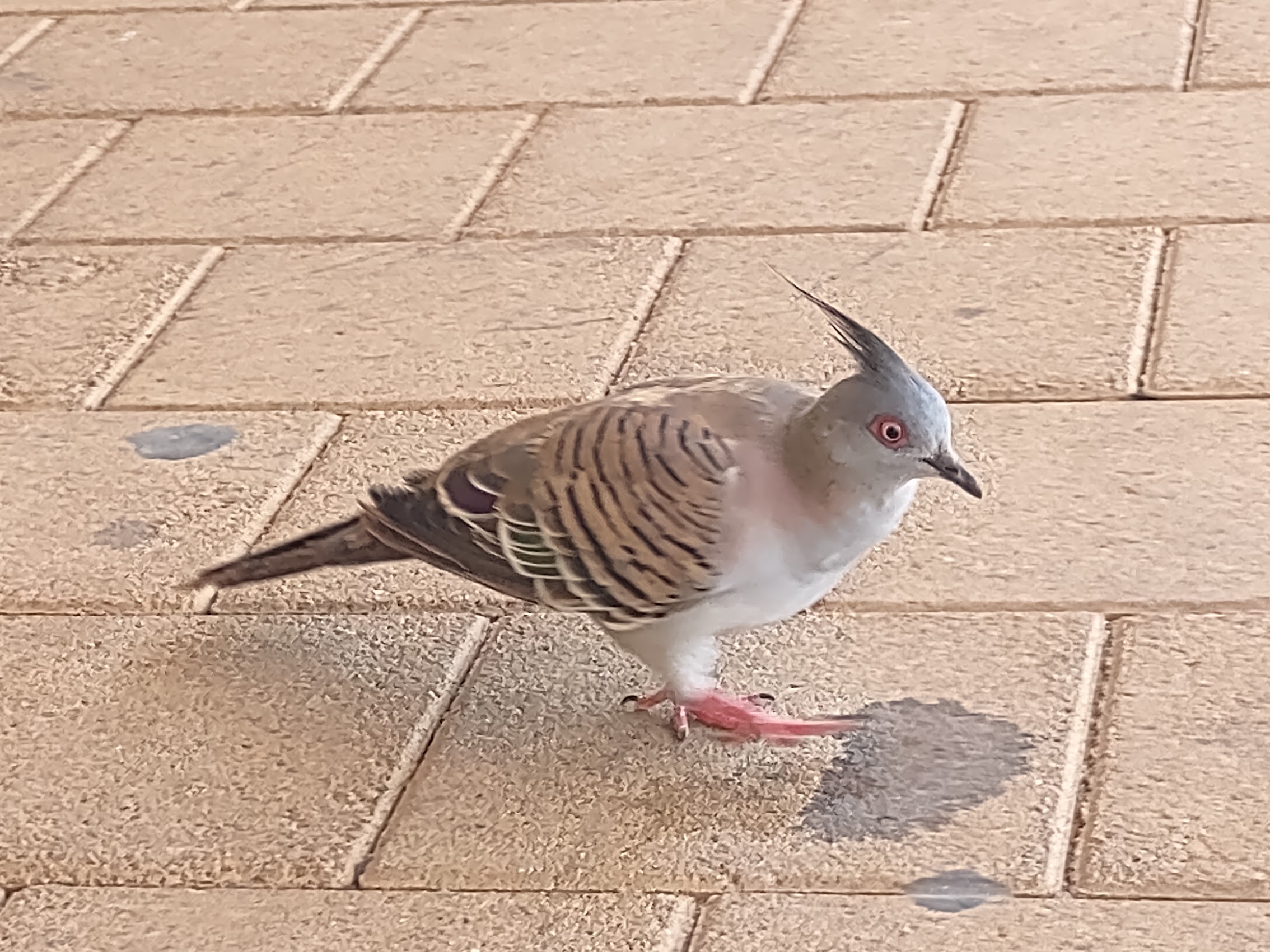
All in all, a pretty nice place but everything seemed a bit bleached and dried out under the intense sun and heat (the word “parched” comes to mind). Compared to Monkey Mia, there wasn’t much wildlife to be seen, but there were some interesting birds including what we thought were white parrots (actually “corellas” which are apparently considered a bit of a nuisance, like pigeons?) as well as some pretty cool crested pigeons (which actually are pigeons).
Around the Town
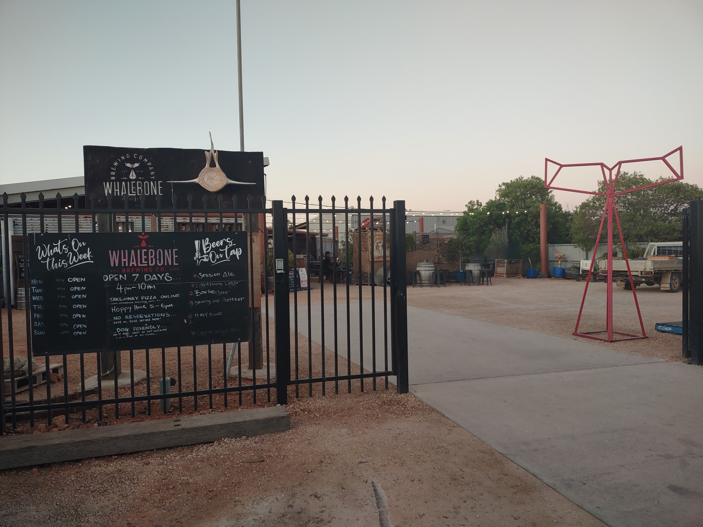
Because the brew pub in the town center appeared to be closed for the day, we decided to check out another brew pub on the southern edge of town, a place called Whalebone Brewing (see below). We decided to eschew the main road and walk to the brew pub via some back streets which passed through the residential neighborhood south of us.
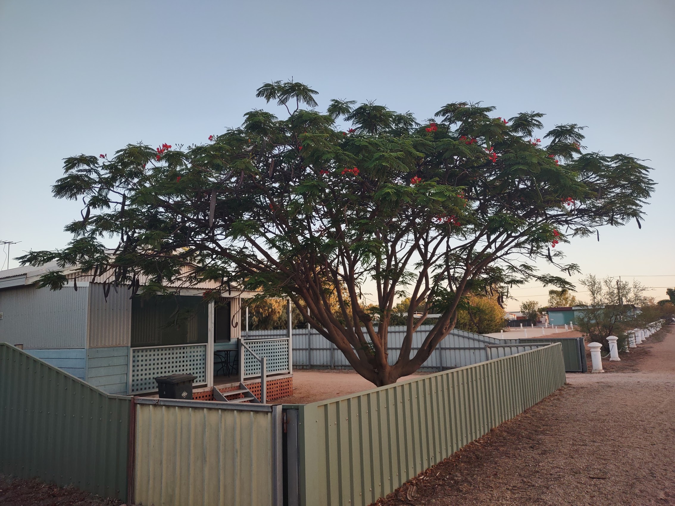
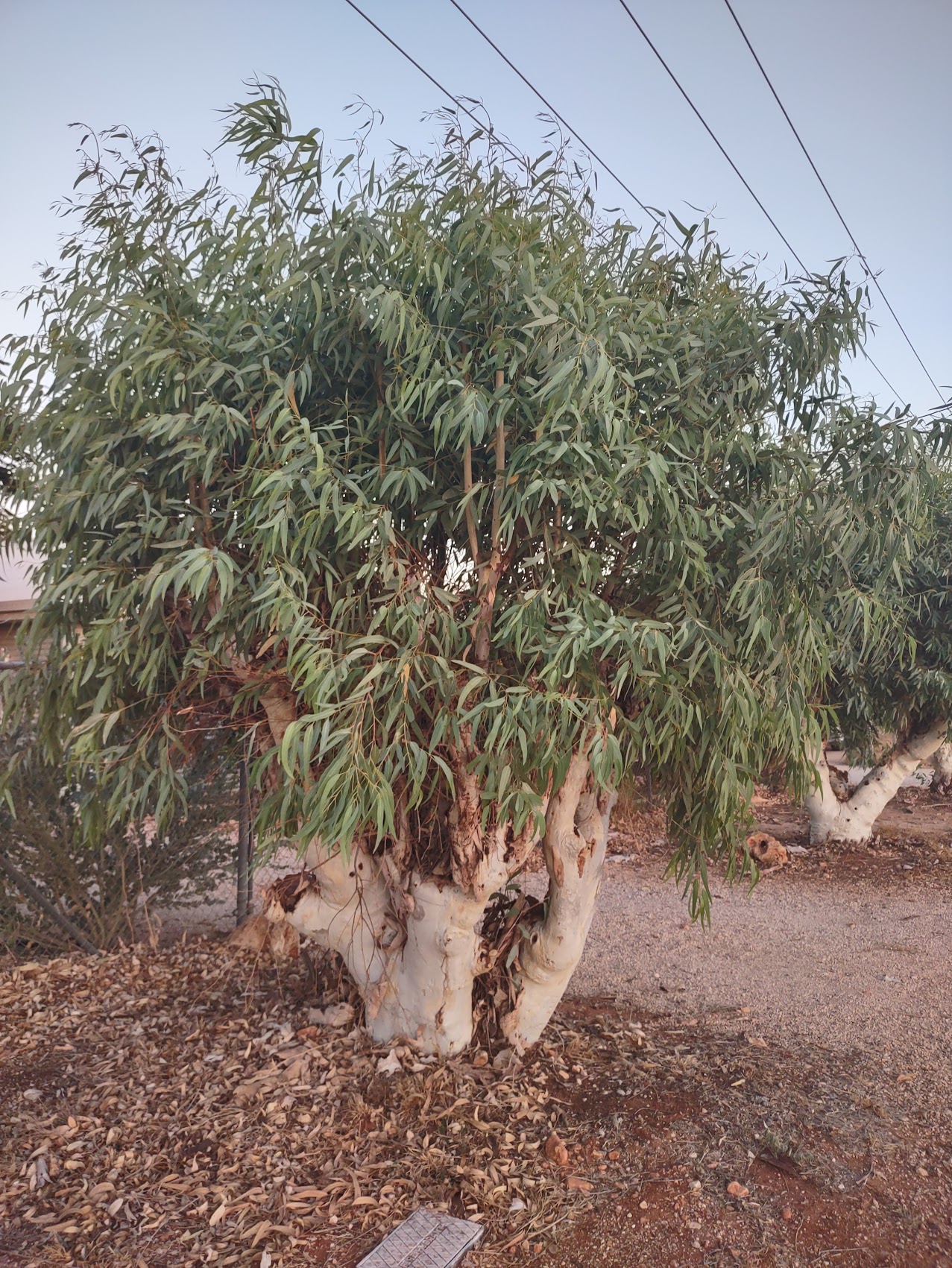
The “parched” theme carried through the residential neighborhood where, with not a blade of grass to be seen, the primary ground cover was gravel or dirt (including on the streets as we moved away from the main road). Landscaping was sparse, but there were some very nice trees including gums, palms, and some beautiful flowering Royal Poinciana (which are actually native to Madagascar).

Although some of the older residential structures featured a bit of wood or masonry, all of the newer structures were constructed entirely of metal and corrugated metal panels appeared to be the current material of choice. I couldn’t help but wonder whether this choice of material was rooted in the semi-permanent military structures of the town’s past, but the newer buildings had an interesting aesthetic with an emphasis on shading devices which were a far cry from the Quonset huts of the town’s past.


Food and Drink in Exmouth
For such a small town, we were a bit surprised that Exmouth had some pretty good places to eat and drink. Beyond the basic necessities, the IGA in town had a great selection of sodas including Monster Ultra Silver (my favorite) and Bundaberg Lemon Lime and Bitters (which had become our new favorite), mixers (you’d be surprised how hard it is to find club soda in some places) and (of course) chocolate. It’s funny how relatively simple things can become luxuries on the road!


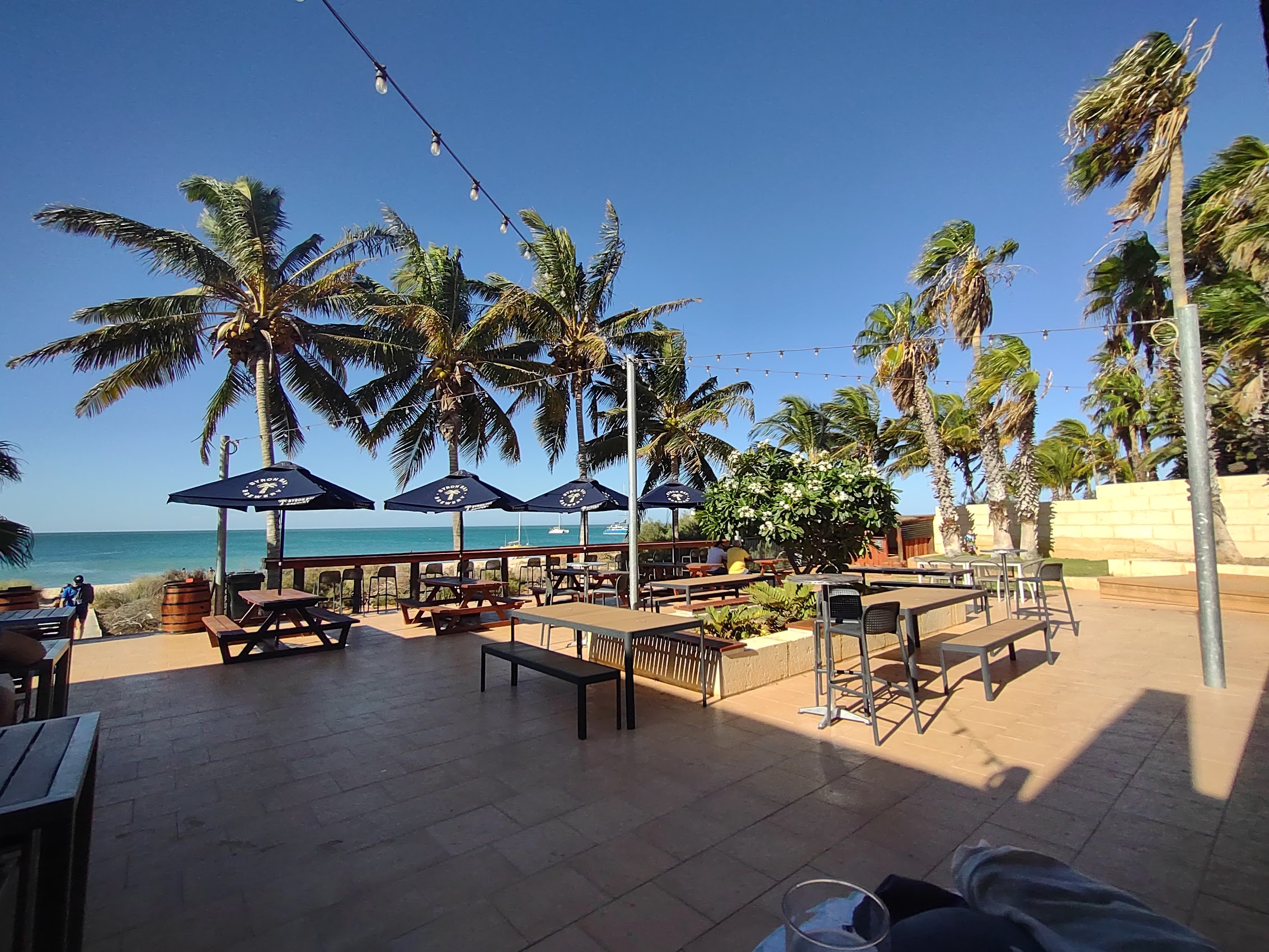
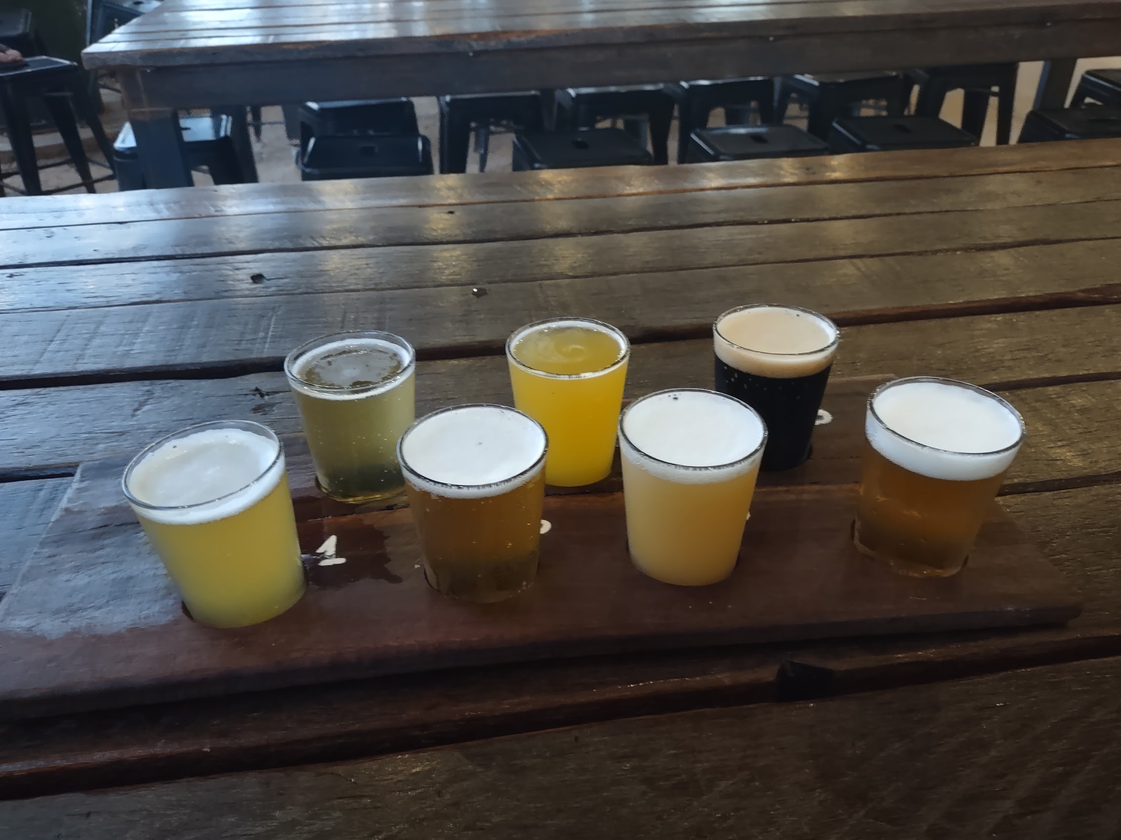
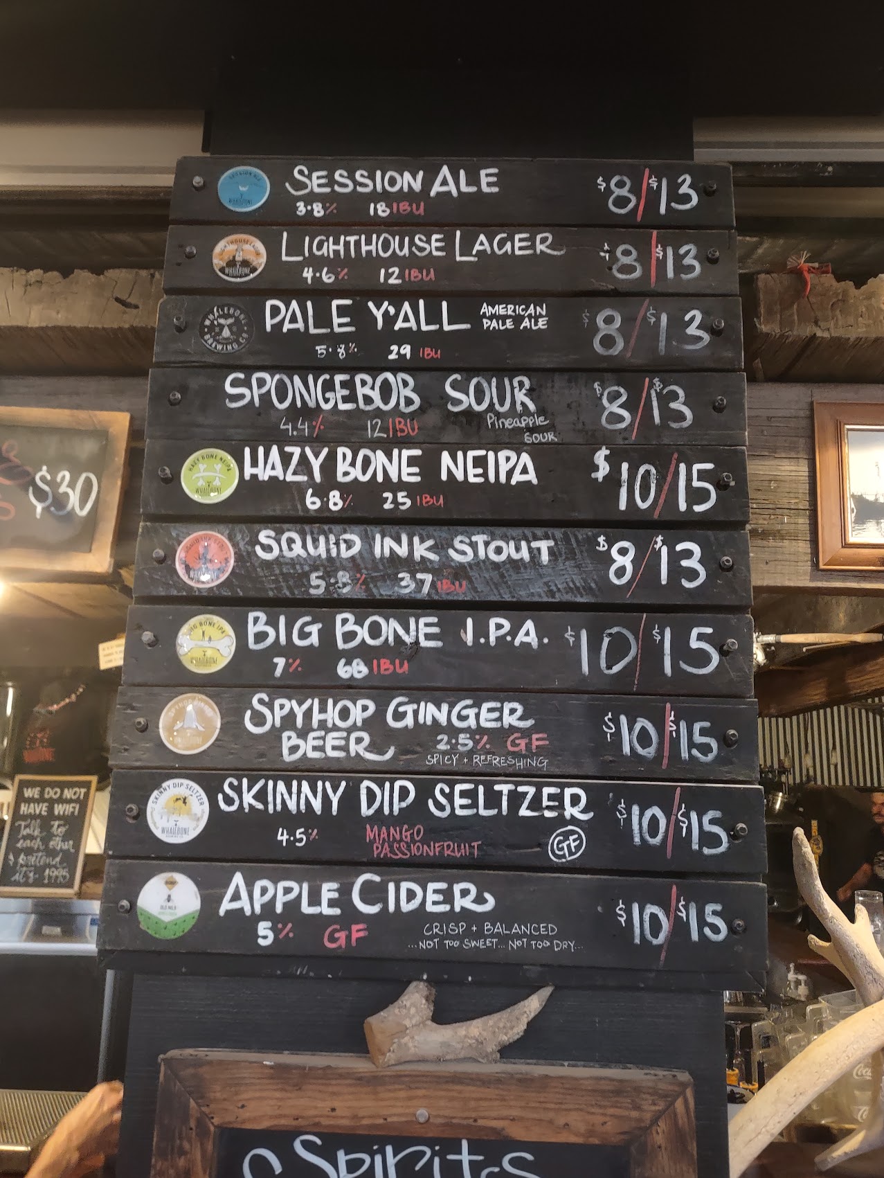
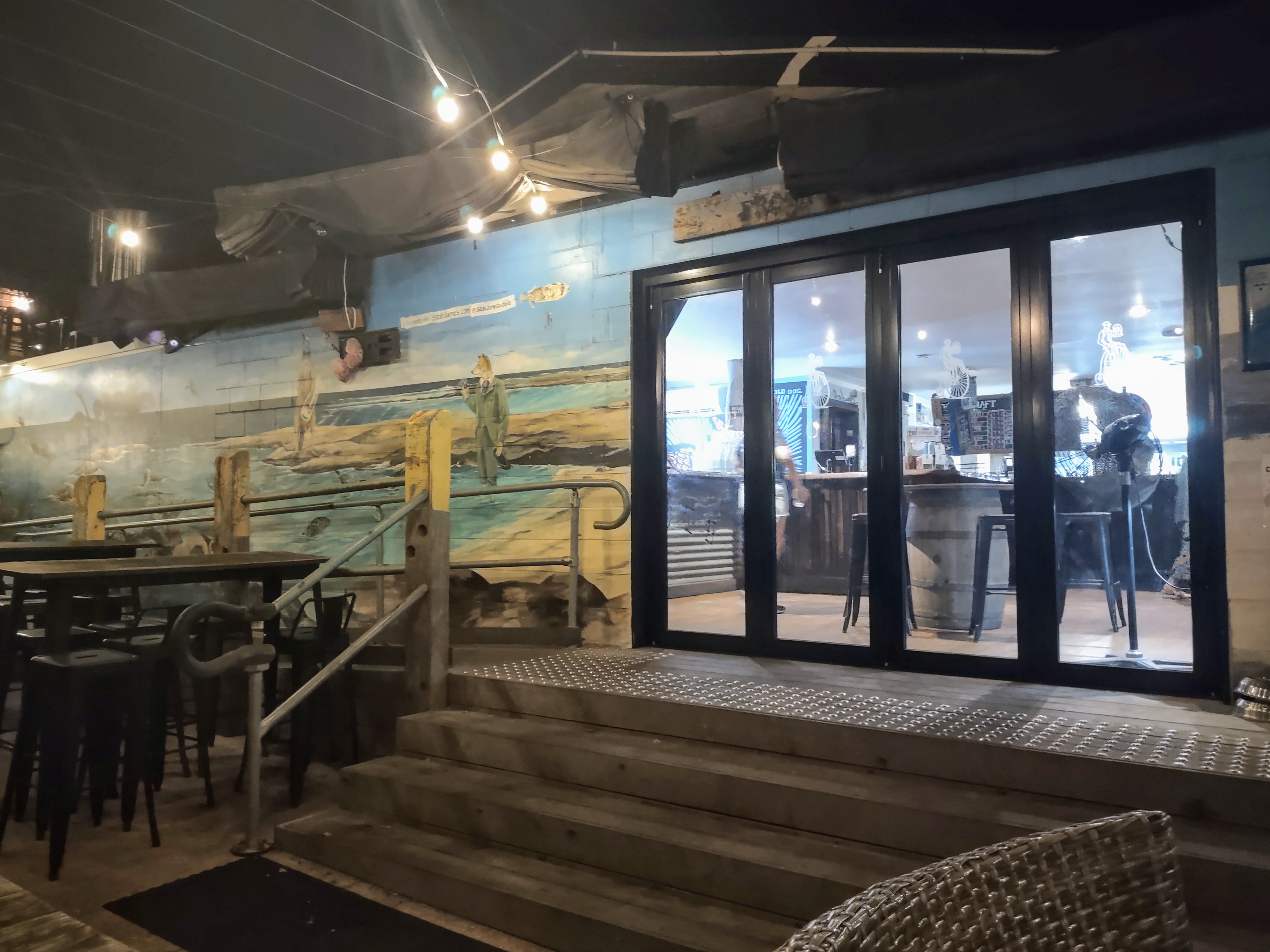
Whalebone Brewing, where we went on our first night in town, turned out to be quite an interesting place. It was situated in what seemed to be some kind of former industrial operation with a very unself-conscious and eclectic aesthetic and, despite being fairly busy, had a very laid-back vibe which we were learning is typical of most Australian brew pubs. They had a surprisingly large selection of beers available on tap (perhaps predictably, Colleen went for the “Spongebob Sour”) and even more available in cans for takeaway. They also had a more than passable pizza operation on site.

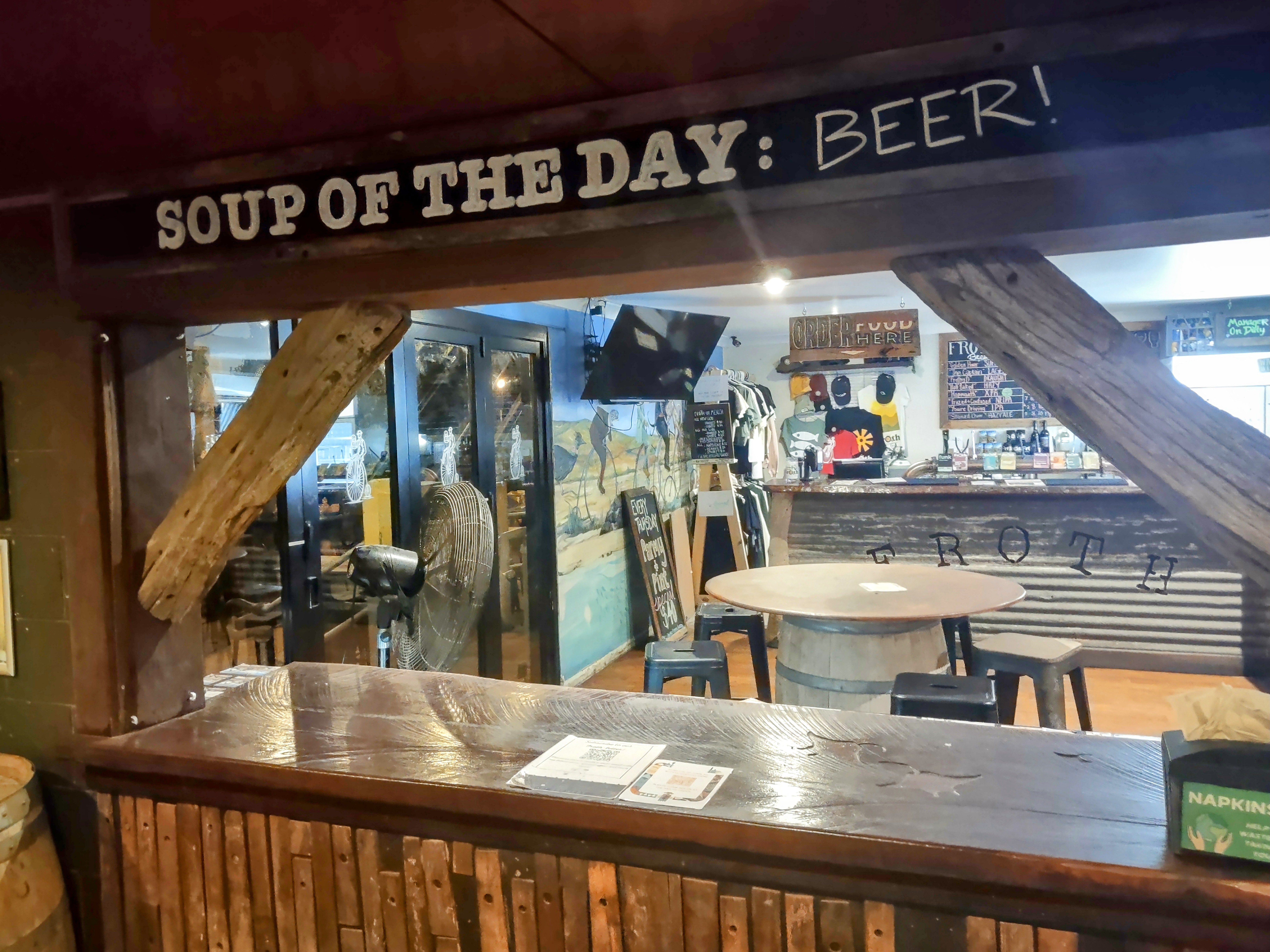
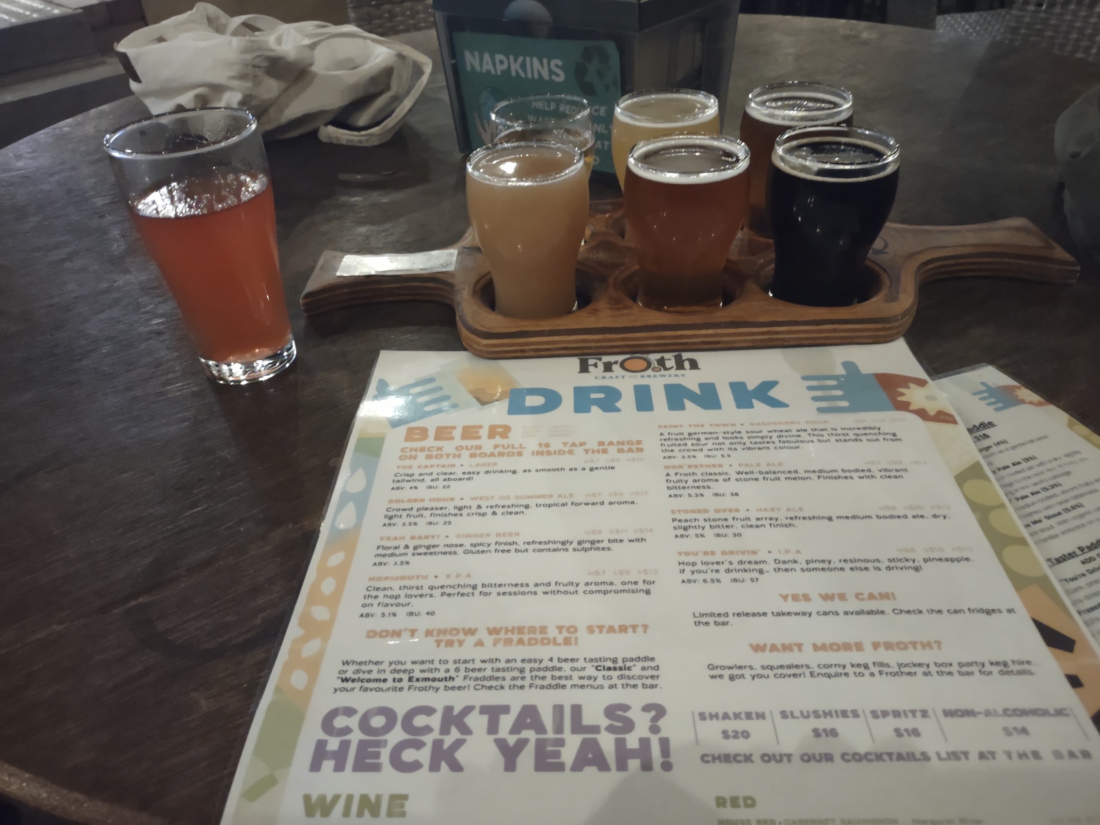
On another night we visited Froth Brewing, the brew pub in the Town Center which wasn’t particularly busy the night we were there (Tuesday) but had a very friendly staff, interesting décor (with some pretty humorous accoutrements), and a decent selection of pretty good beer (including a nice raspberry sour ale for Colleen called “Paint the Town Red”).


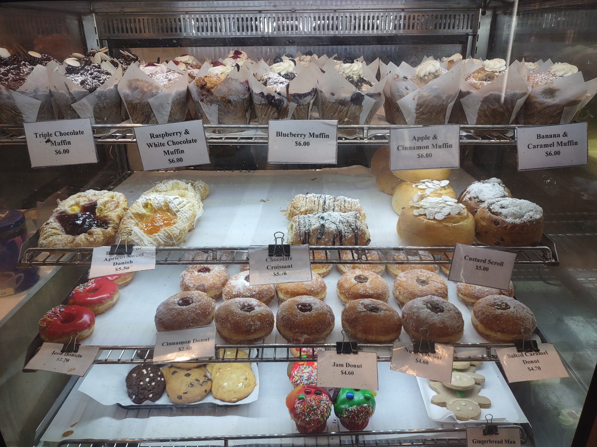
The bakery I mentioned earlier (The Ningaloo Bakehouse and Café) had one of the best pastry selections we had seen since being in Denmark on the Southwest Coast as well as a wide selection of freshly baked meat pies in various shapes with a wide variety of fillings.
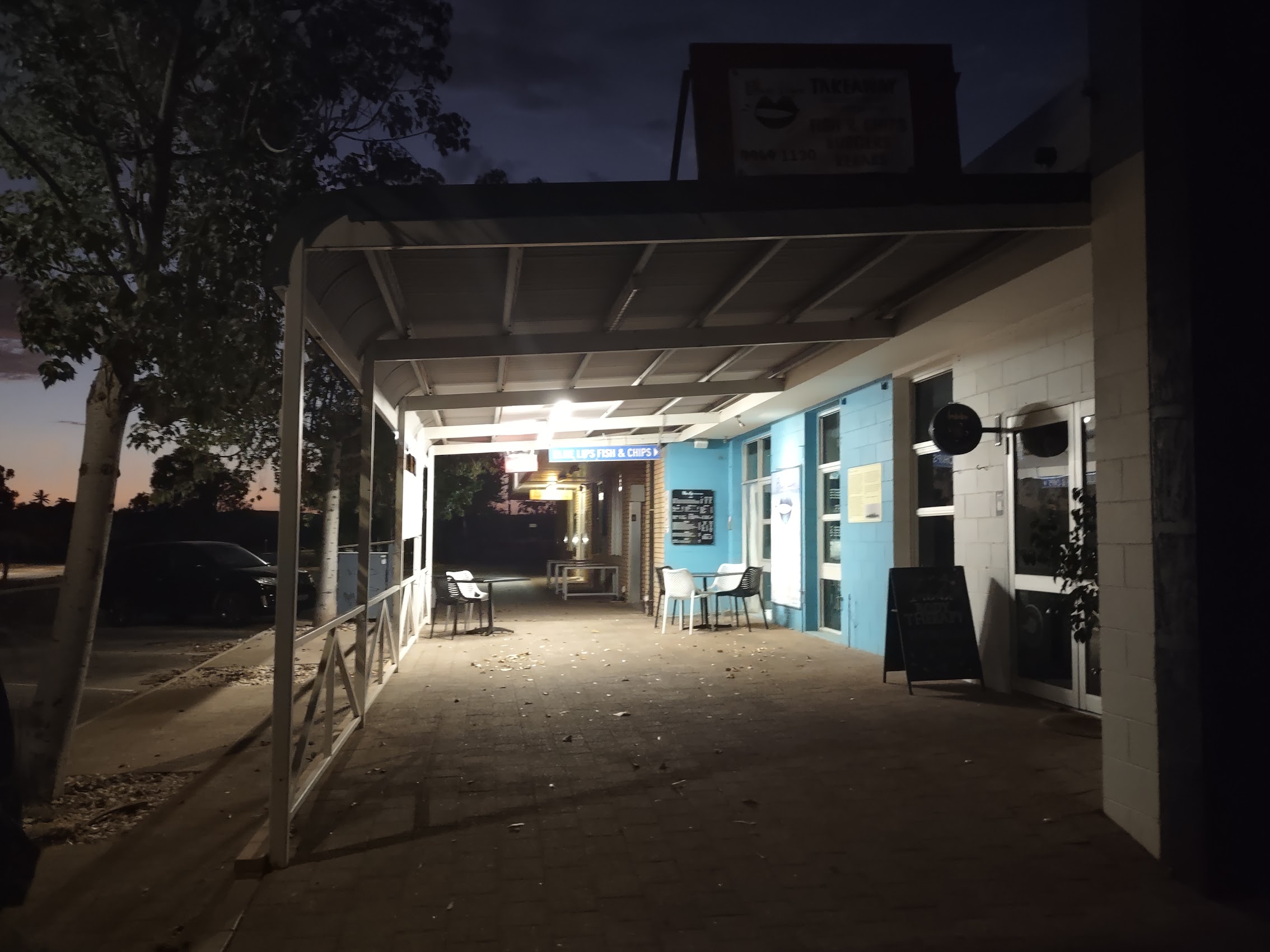
Probably our best find in Exmouth was a very small and unassuming place tucked away (almost hidden) behind the Town Center complex called Blue Lips Fish and Chips. Although they did have a couple of tables outside, Blue Lips was really more of a takeaway place serving fried seafood which Colleen declared to have the best fish and chips she had sampled since starting our adventure.
The Ningaloo Centre
We decided to beat the heat one day by visiting the Ningaloo Centre, a research, education, tourism & community hub located just south of the Exmouth town center. In addition to the usual visitor center facilities and accommodations, the Ningaloo Centre includes a small aquarium and what is referred to as a “Discovery Centre”, an interesting assortment of exhibits related to the history of Exmouth and the region.


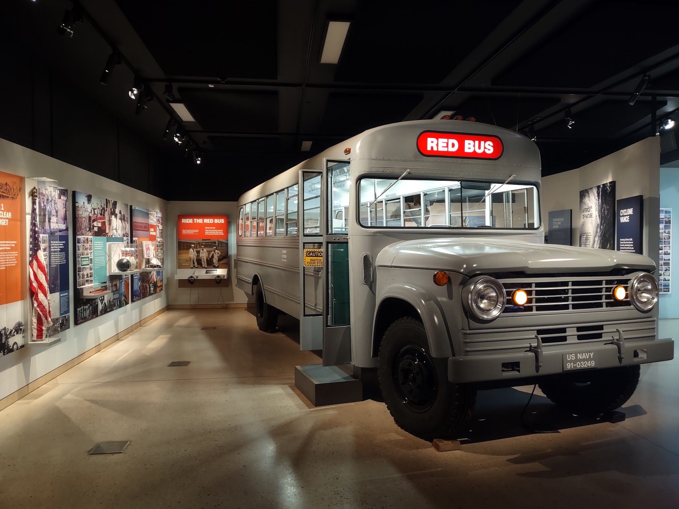
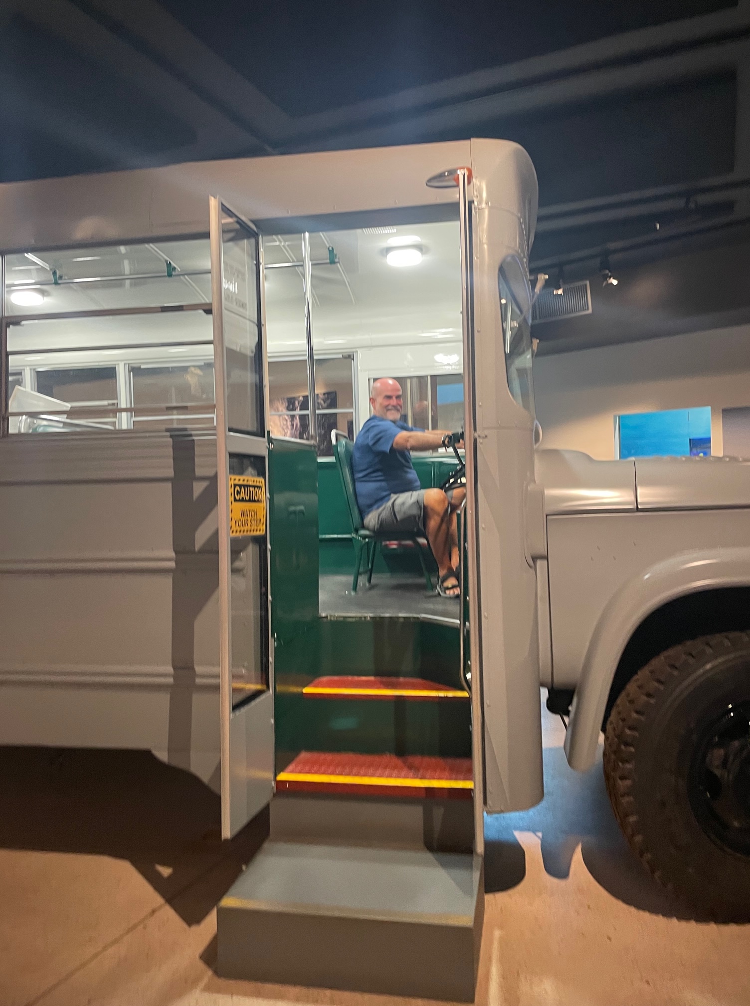
These included exhibits regarding life in Exmouth in the 60’s and 70’s (which I alluded to earlier), including the “Big Red Bus” (it’s actually green) which transported military personnel from the base to the town of Exmouth. There were also exhibits from the World War II era, including a folding one-man kayak which was used to surreptitiously plant mines on Japanese ships in Singapore harbor.

The Drive, the Drift, and the Dingo
We did take one pretty epic excursion during our stay in Exmouth: a drive around the Cape and into the Cape Range National Park to a legendary beach called Turquoise Bay. Our day trip started early at a local rental car agency just down the main road from the Ningaloo Lodge. After a quick stop in town to pick up pastries, sandwiches, and snorkel gear we hit the road.
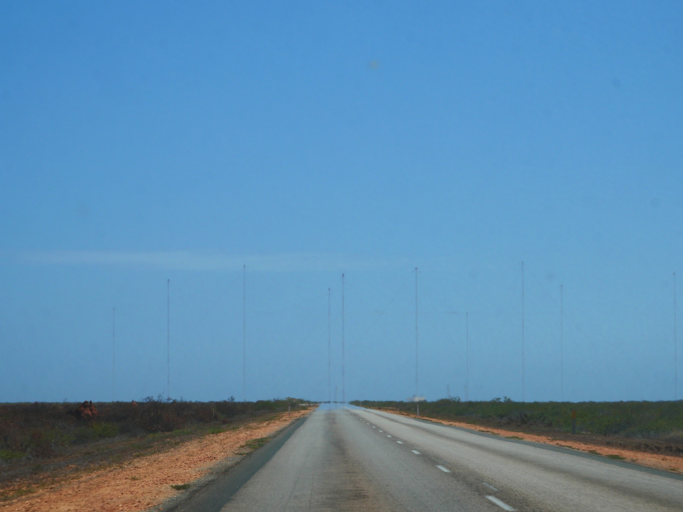
Initially, we headed north (although Turquoise Bay is actually south of Exmouth on the west coast of the Cape, there are no roads across the Cape, so we had to drive north around the Cape and then south to the Cape Range National Park). Near the tip of the Cape, as we neared the Harold E Holt Communications Center (which is just a field of very tall mast antennae), we turned onto Yardie Creek Road which cuts across the tip of the Cape before heading south at a place called Vlamingh Head.
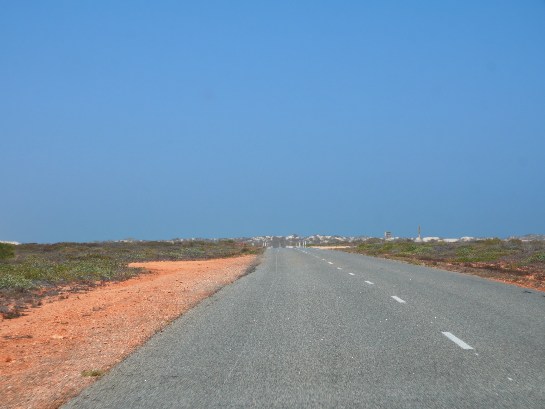

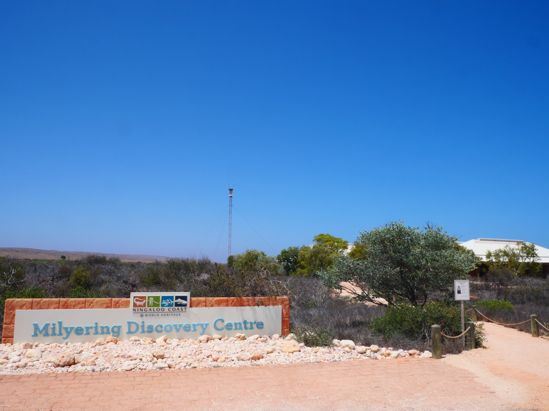
As we made our south on Yardie Creek Road, which runs about a quarter to half mile off the coast, we caught occasional glimpses of white sand dunes to the west and the limestone plateau of the Cape Range rising to the east. After about 30 minutes of driving, we reached the entrance to the Cape Range National Park and then made a brief stop at the Milyering Visitor Center, which had some interesting displays and exhibits on the Ningaloo Reef, before arriving at Turquoise Bay about 15 minutes later.

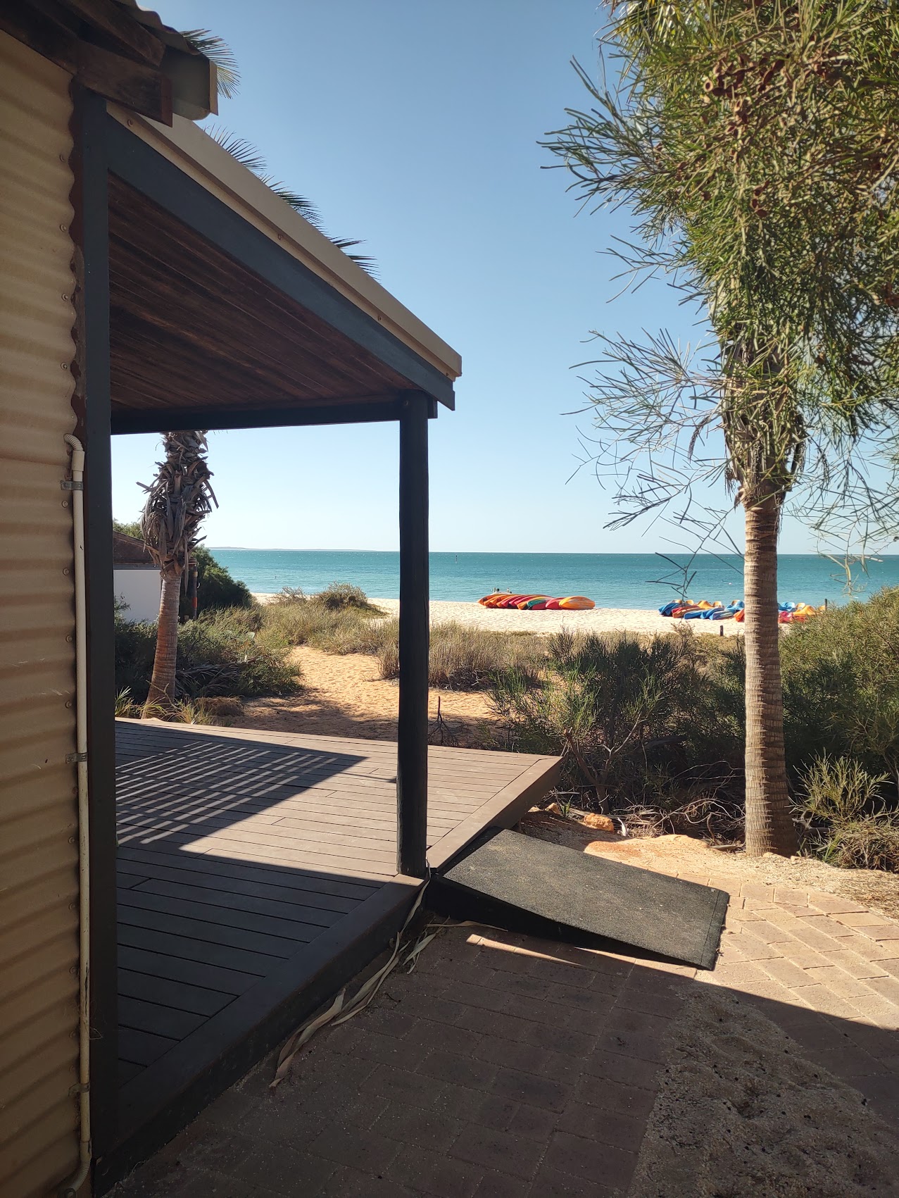
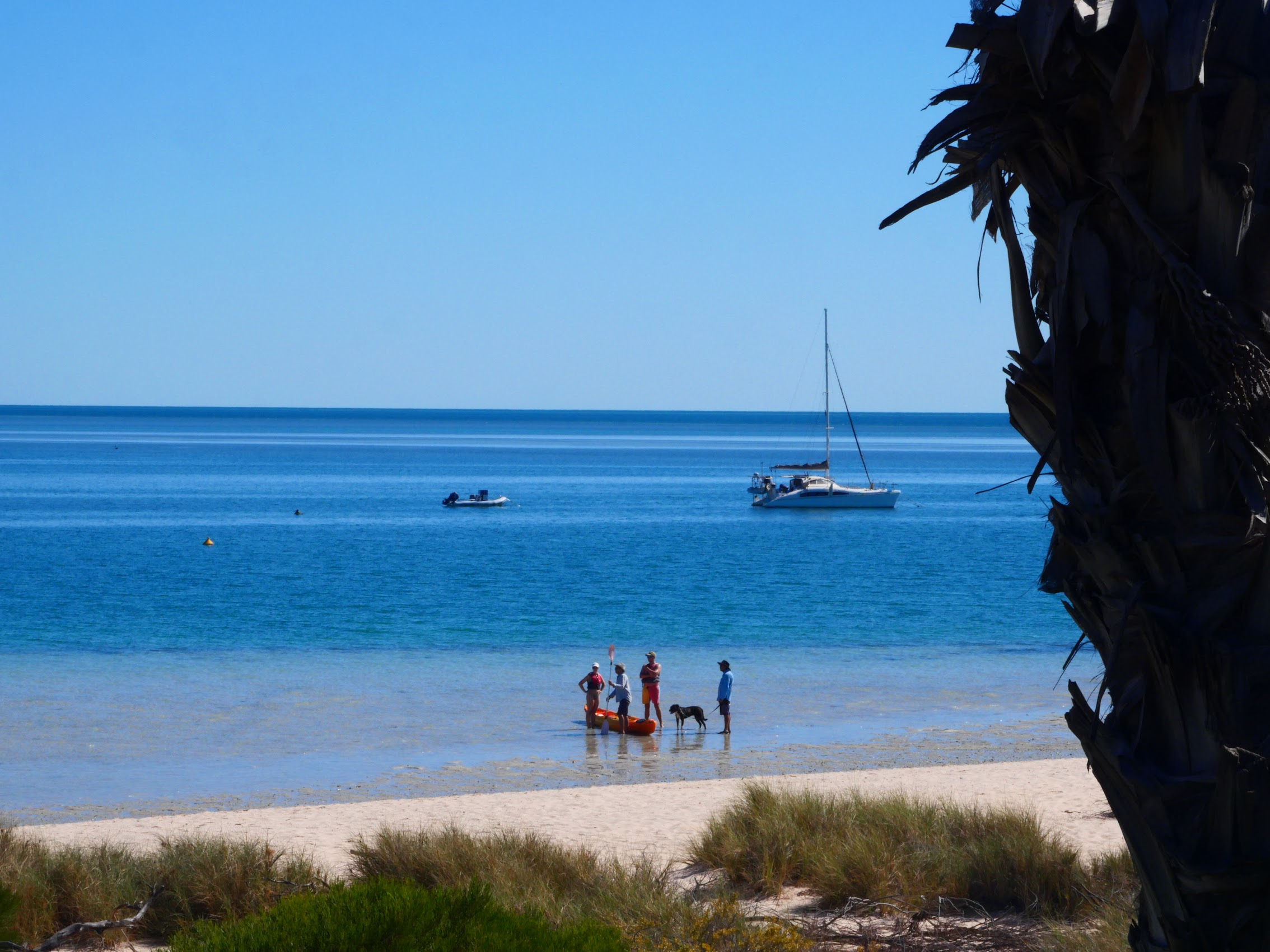
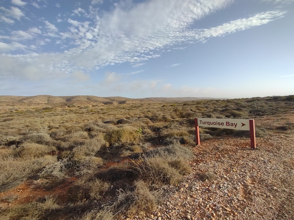
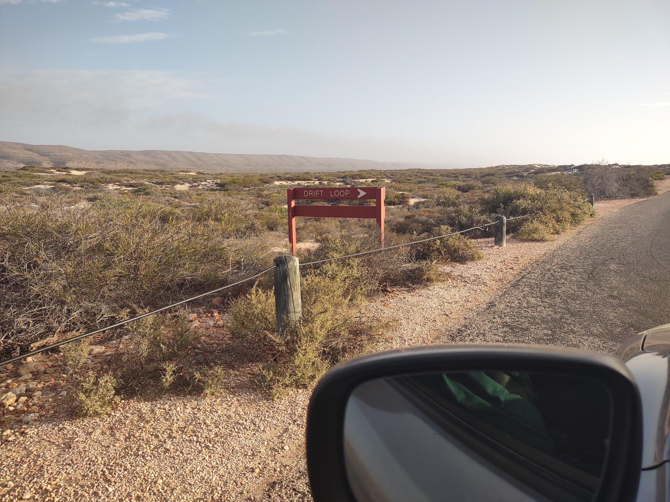
Arriving at Turquoise Bay, the road split with one branch heading north to the beach while the other branch headed south to something called the Drift Loop which we had heard about from the woman from whom we rented our snorkel equipment. The Drift Loop is a naturally occurring gentle current which runs parallel to the coast following the Ningaloo Reef which is quite close to the shore along this stretch. We swam out to the reef where we were gently carried up the coast and eventually deposited at Turquoise Bay, a real lazy person’s snorkeling experience.

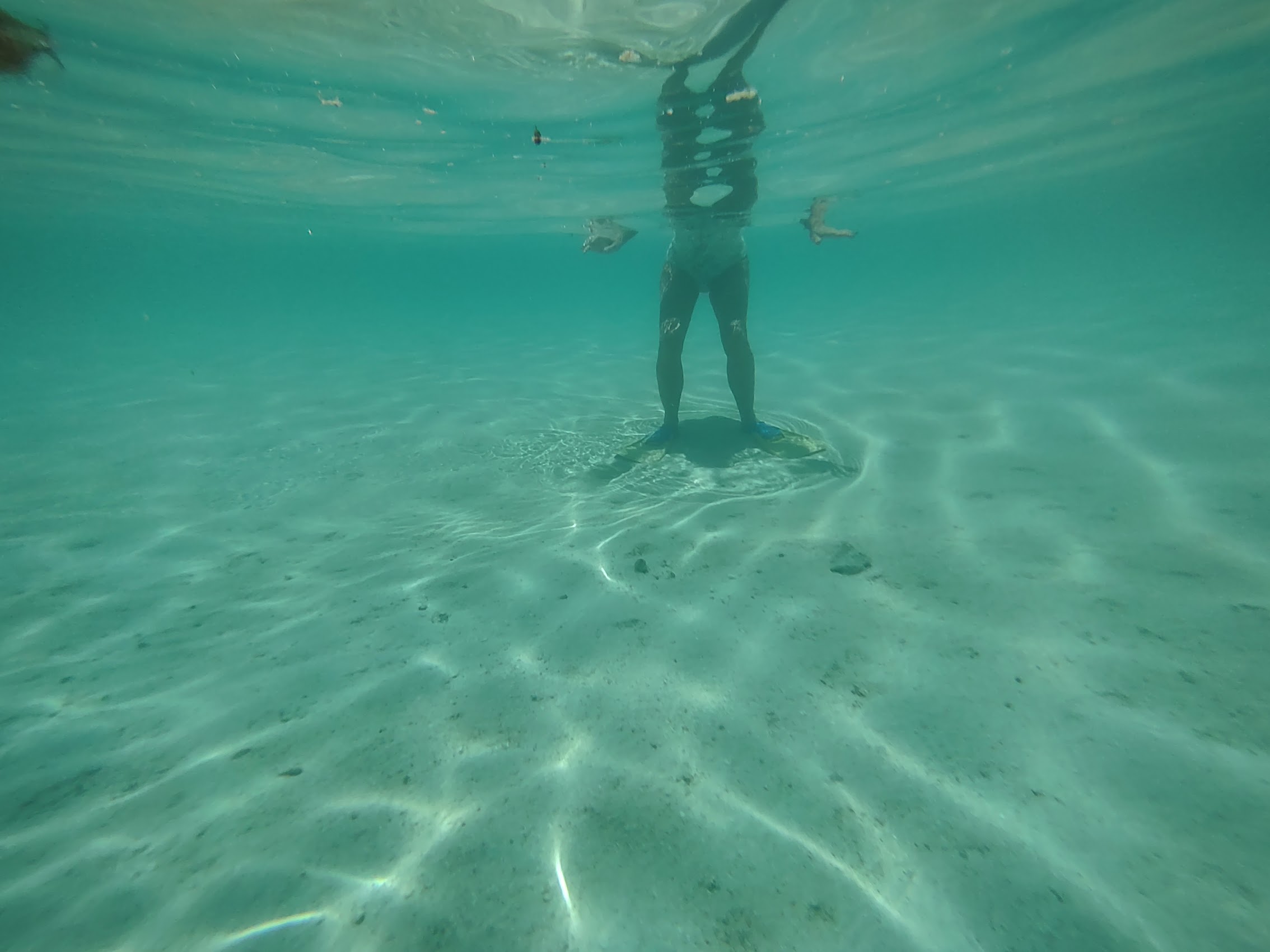
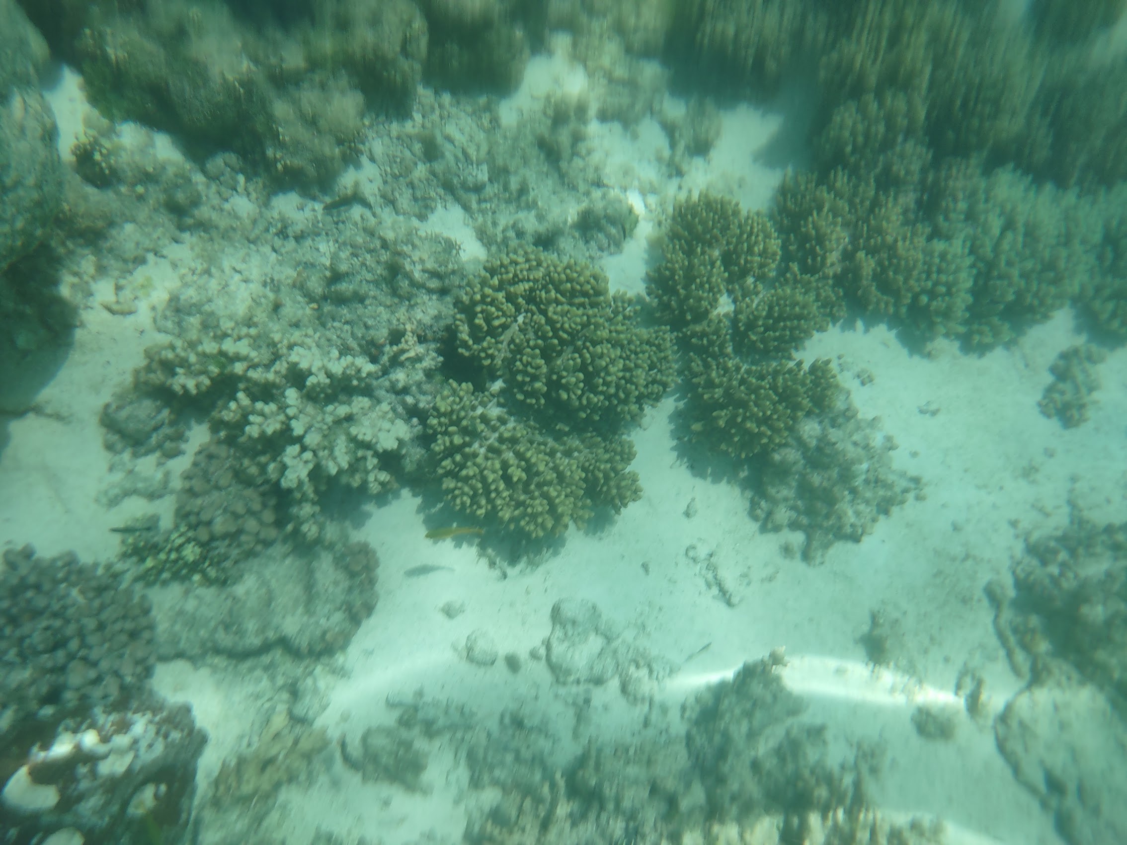
Along the way I tried out my new waterproof phone case which did keep my phone dry, but it was very difficult to control the phone camera and the results weren’t great. On top of that, Colleen discovered that here snorkel mask had a leak so, all in all, snorkeling was a bit of a bust. But any disappointment we may have felt was quickly forgotten once we found ourselves at Turquoise Bay.
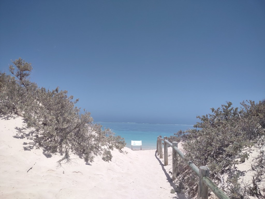
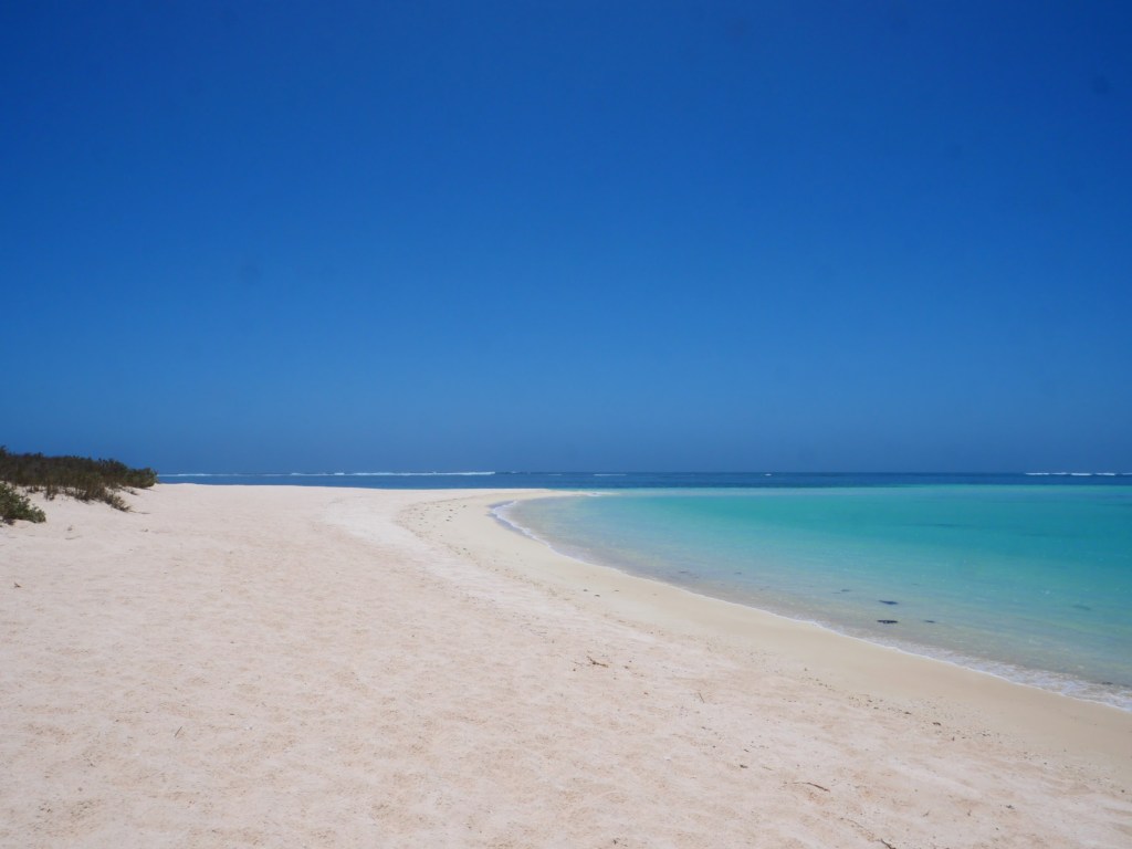
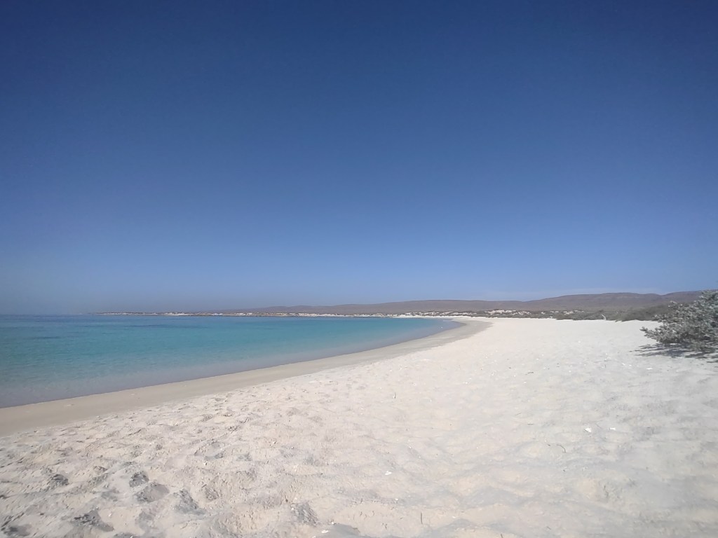
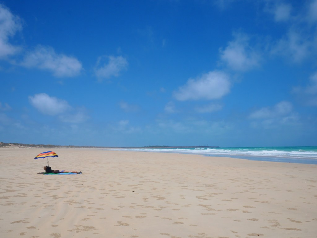
Turquoise Bay has been named the Number 1 beach in the South Pacific and the Number 3 beach in the world. The beach is located on the north side of a small peninsula extending west and ending in a sandy point extending into the Indian Ocean. The sand was incredibly white, and the water was (predictably) an amazing shade of turquoise, but there were a couple of things which set Turquoise Bay apart from many of the other beautiful beaches we had seen thus far in Western Australia.
The first of these (due to the proximity of the Ningaloo Reef) was the gently lapping waves which stood in sharp contrast to the roaring waves and rip tides which were more the norm for Western Australia beaches. The second of these (due no doubt to its remote location) was how uncrowded it was. We spent the rest of the afternoon lolling about and saw only a handful of other people. We ate our sandwiches (a Reuben for me and spicy chicken for Colleen) and had a great afternoon on what was pretty much a perfect beach, but were happy to still have our beach umbrella as there were no shade trees anywhere in the area.
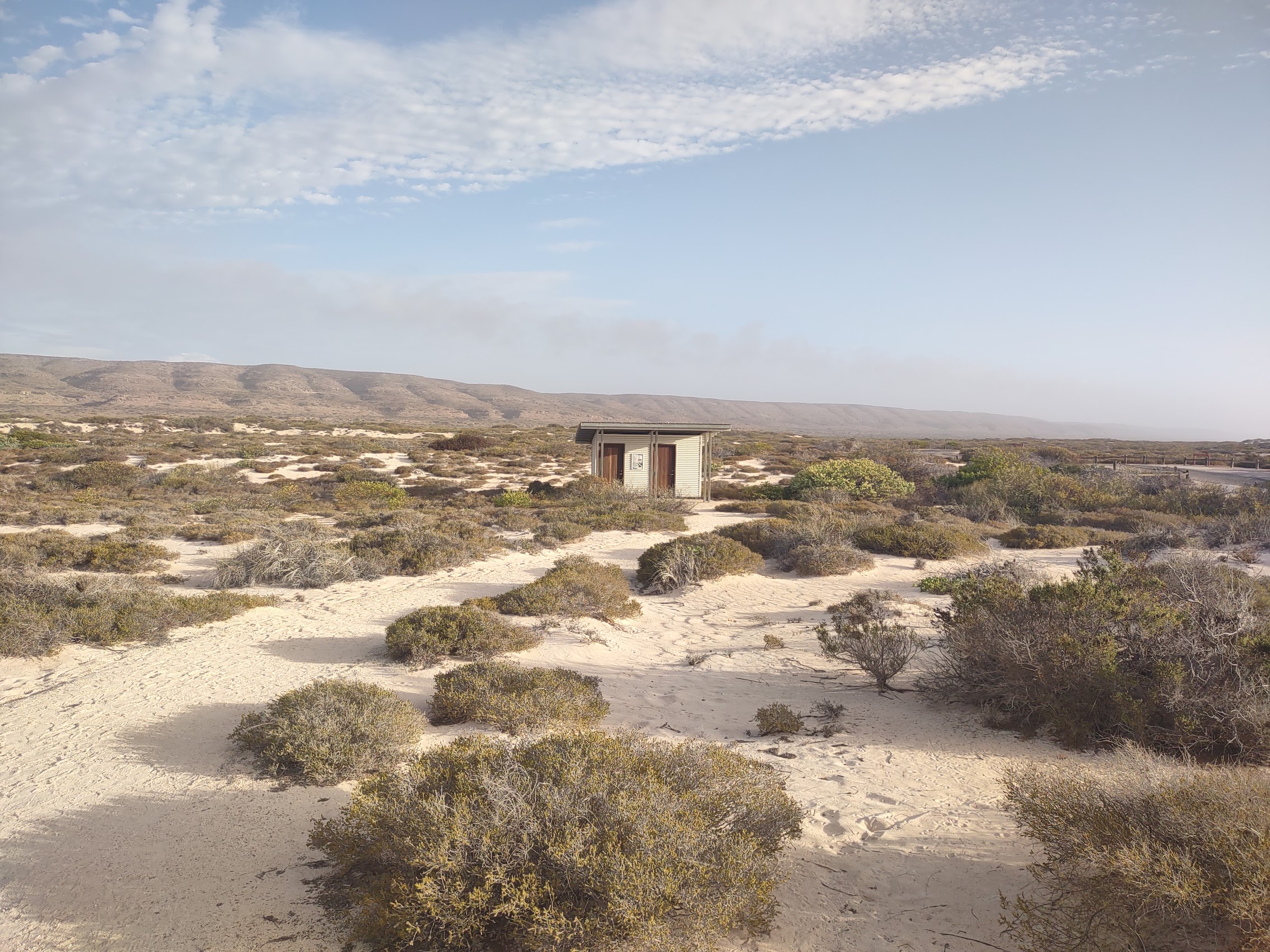
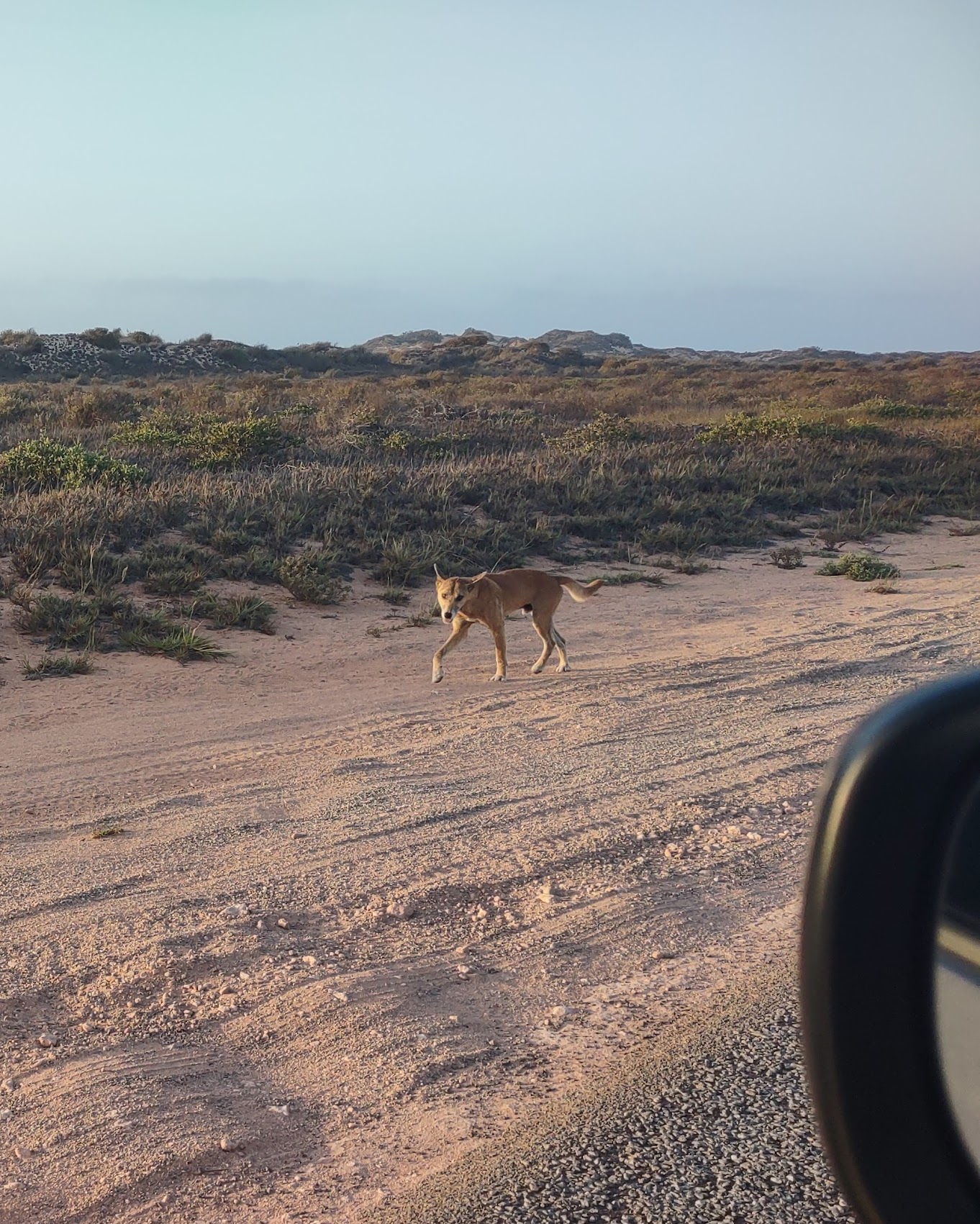
As the sun began to descend in the western sky, we reluctantly packed up to get on the road home, as we didn’t want to be on the coast road after dark and still had one more stop planned. After a quick pit stop at what I think may have been the most oddly (but beautifully) sited restrooms I have ever had the pleasure of using, we got back on the coast road heading north. After a brief stop to examine some termite mounds (again, very creepy) we saw a vehicle in the distance flashing its lights and so slowed down to see a dingo (the only one we had seen since coming to Australia) loping along the side of the road, apparently with a slightly injured paw. (No, we did not stop!)
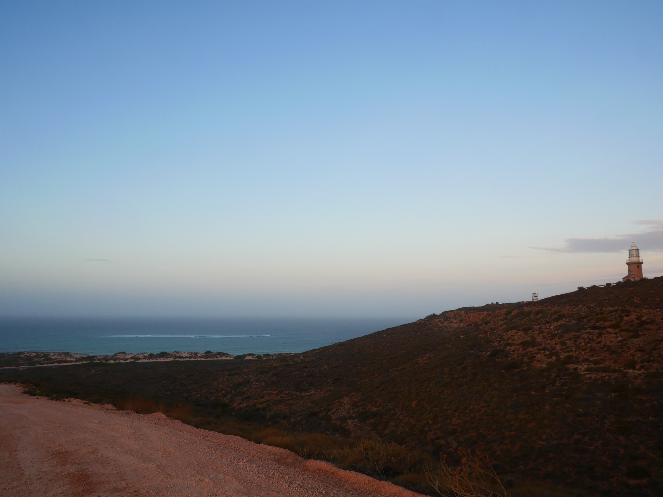
Our timing was pretty good and we arrived back at the Vlamingh Head Lighthouse in time to see the sun set over the Indian Ocean. Probably not the best sunset we have seen, but a really nice way to end what had been a great day at Turquoise Bay before heading back home to the Ningaloo Lodge.
Back on the Road Again
After a last breakfast at the Ningaloo Lodge community kitchen, we schlepped our carry-ons, backpacks, and various satellite bags into town and set up at a shady table in the park to await the HOHO bus, which pulled in around 12:30 PM, but was stopping for a lunch break. We took turns going to the bakery (sadly, Blue Lips was not open yet) to grab sandwiches which we were able to enjoy in the park before hopping back on the bus and heading out around 1:30.

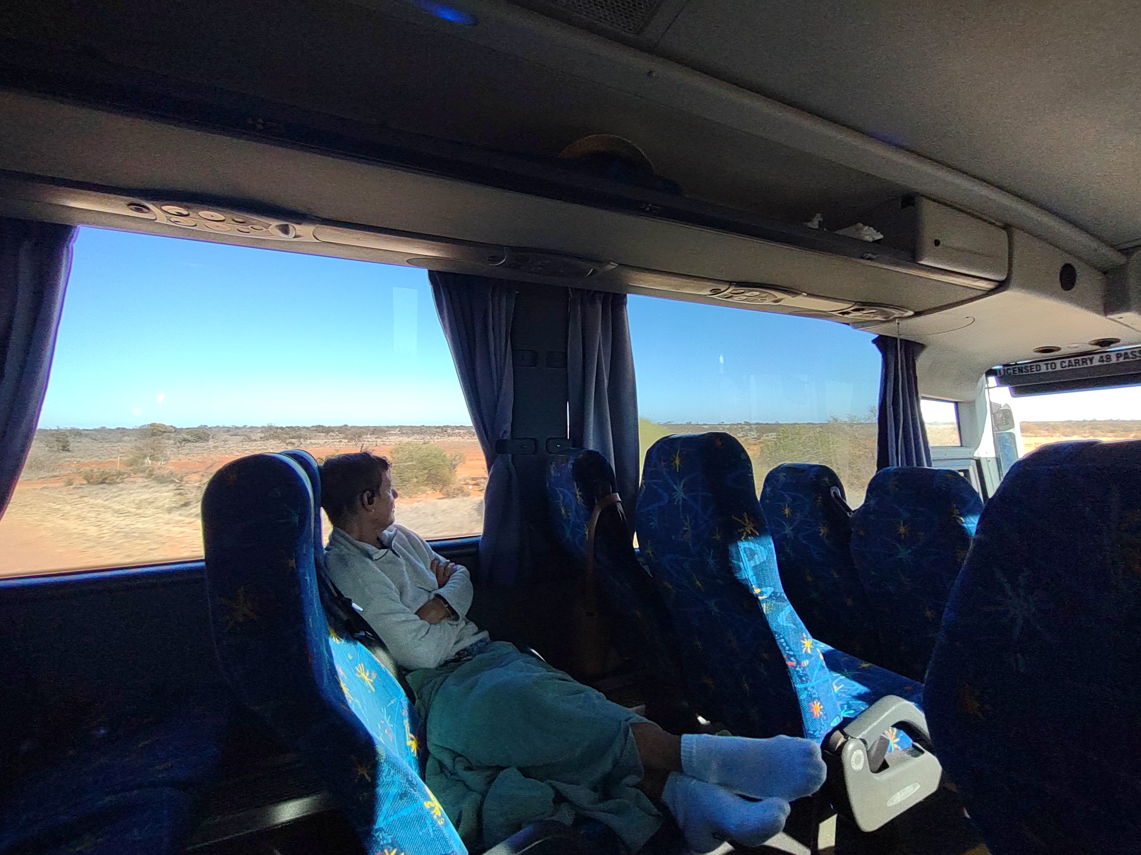
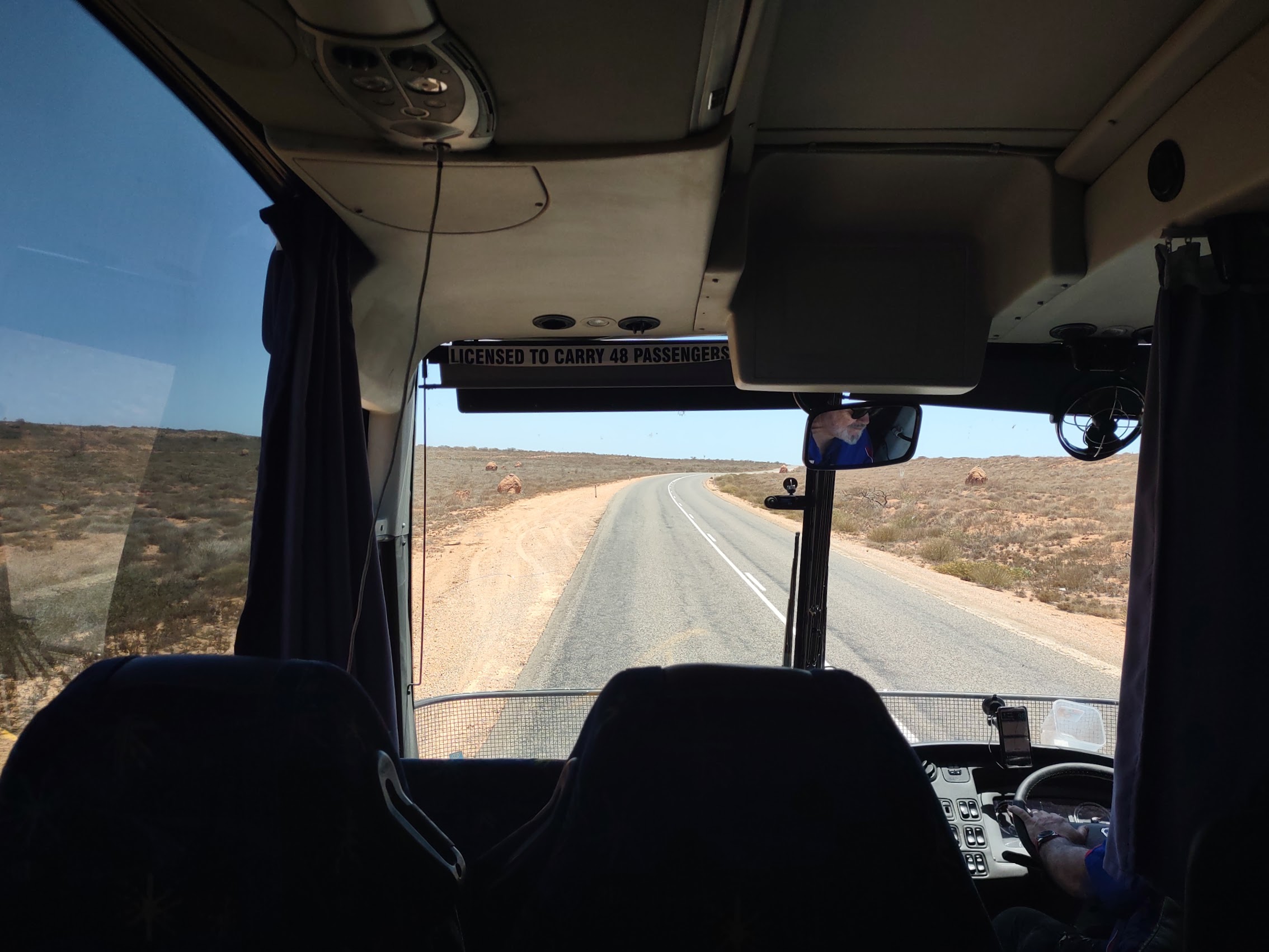
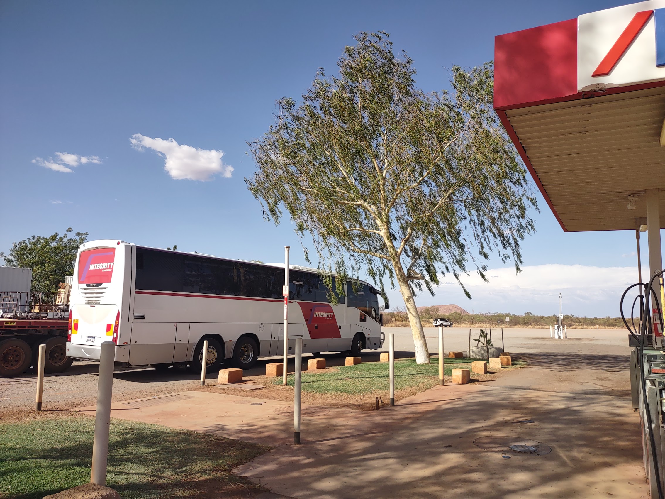
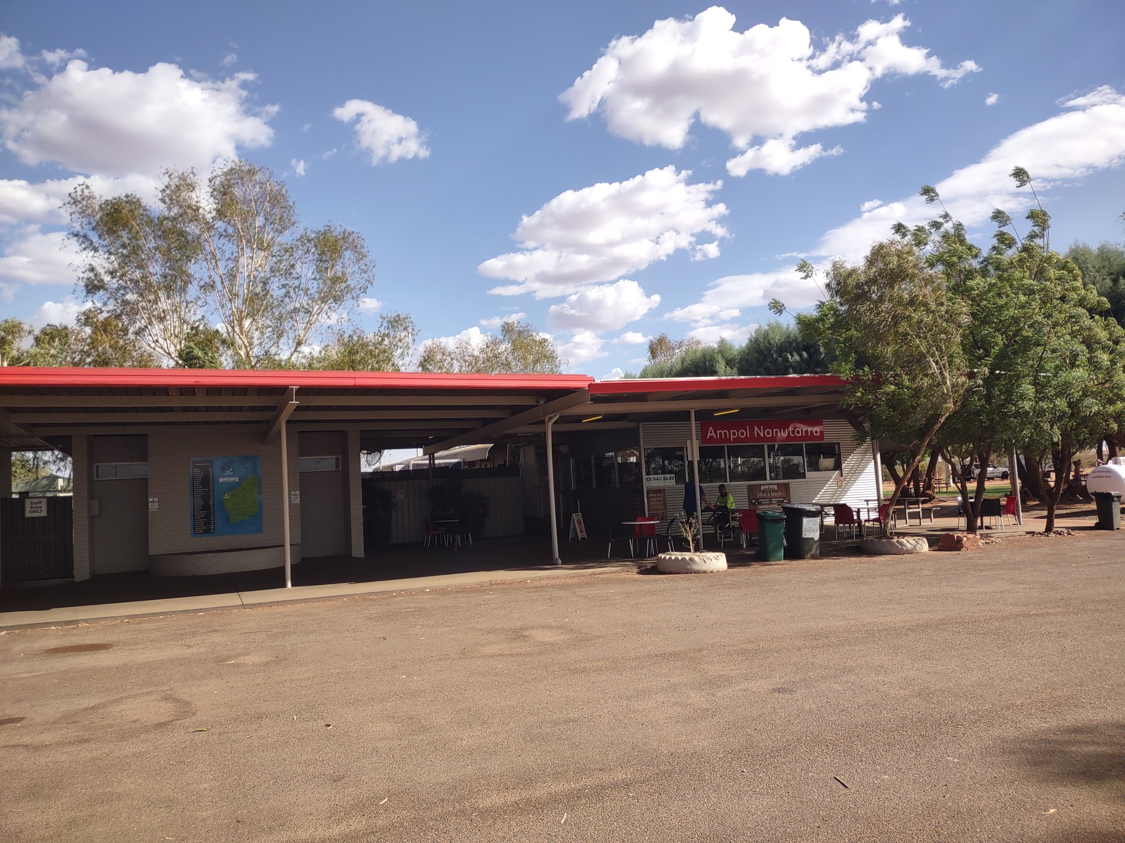
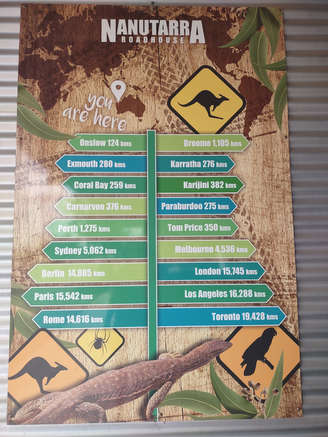
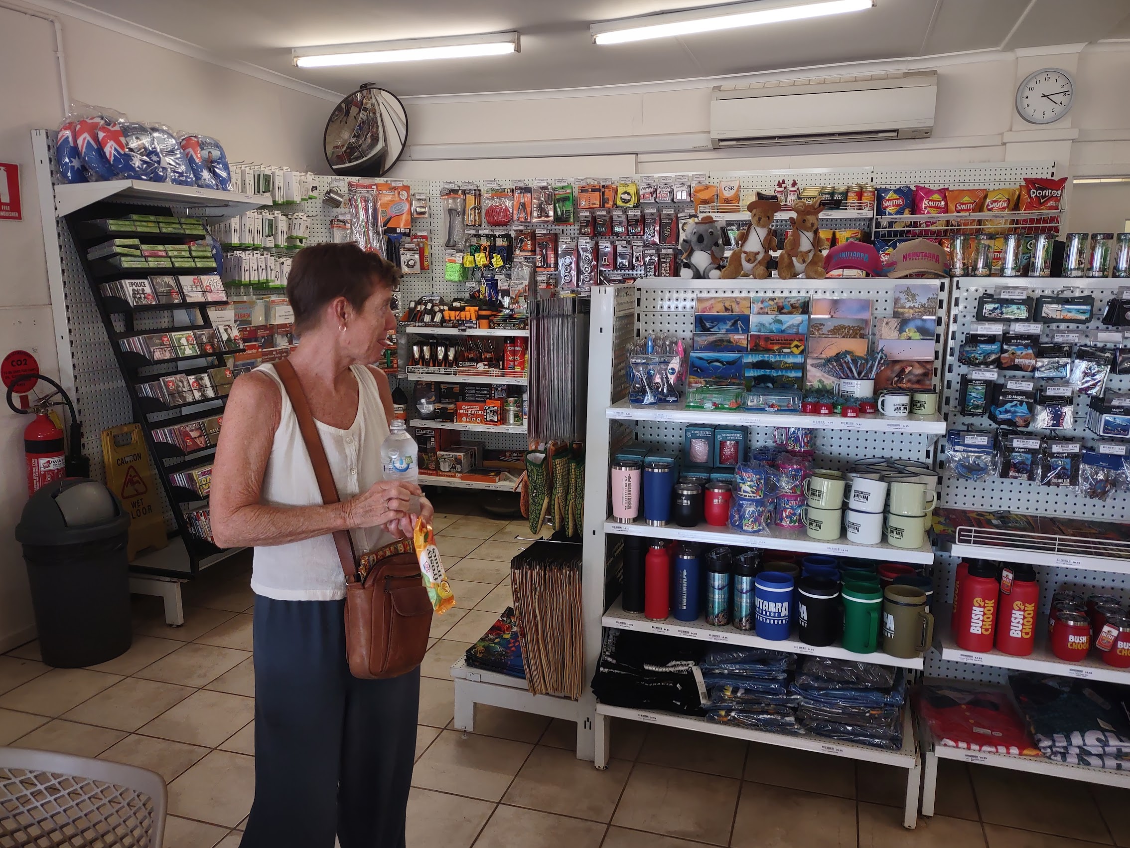
The HOHO bus ride from Exmouth to Broome was the longest leg we had booked – about 17 hours total with stops – so we settled in for a long haul. As had pretty much been the case since leaving Perth, there were only a couple of other passengers on the bus and we were able to spread out and get comfortable. We made a stop in the late afternoon at the Nanutarra Roadhouse which seemed a lot like an American truck stop with lots of weird stuff for sale. (Truck stops are my favorite place to shop for Pollyanna gifts and there were some tempting items, but I held off as our next Christmas was a long way and many miles in the future.)

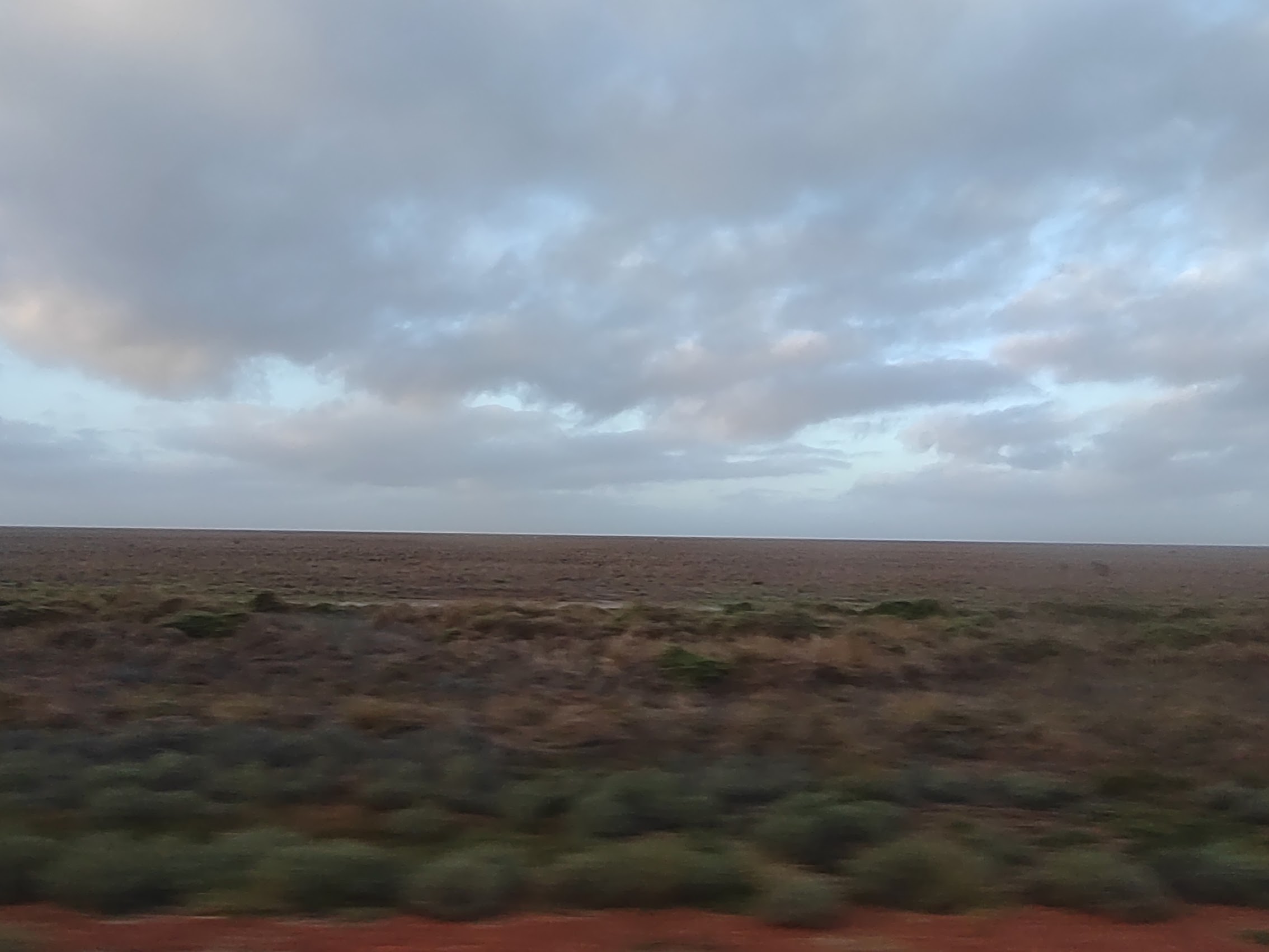
From Nanutarra we continued north through a region known as the Pilbarra, which contains some of Earth’s oldest rock formations, and includes mountain ranges with cliffs and gorges as well as coastal plains. Although still very hot and arid, in some places the landscape here seemed almost verdant compared to what we had been seeing with denser vegetation, actual ground cover in places, and patches of small trees (but still with the now ubiquitous red iron-heavy soil).
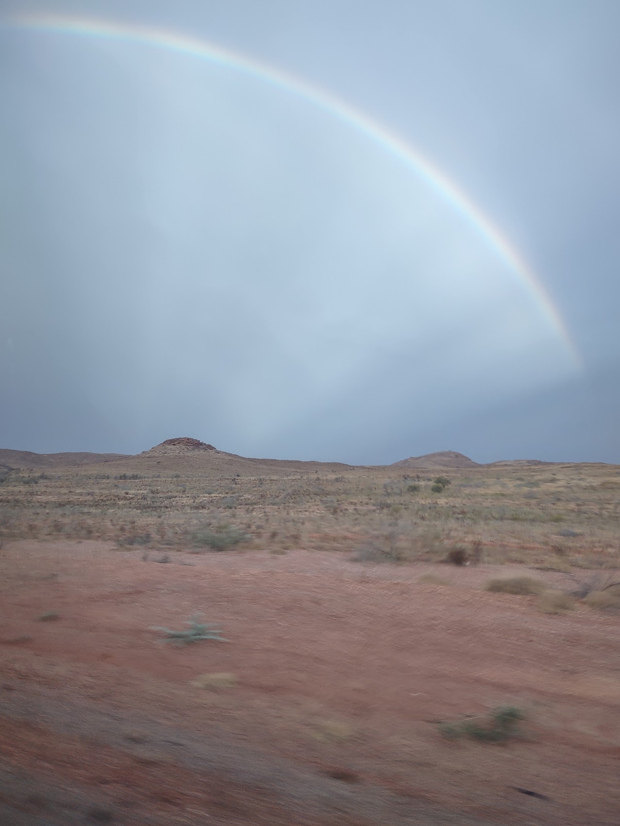
As we continued north toward the coast, we saw rainbows in the distance near the town of Mardie and by the time we reached our next stop in the coastal town of Karratha around 7:30 PM, the sun had set and it was actually raining! The stop in Karratha was at a shopping center at the edge of town and, as this was the HOHO bus dinner stop, we stretched our legs a bit and enjoyed the novelty of the rain (the first we had seen in quite some time) before grabbing a bite to eat.
Back on the bus, we more or less slept through the next stop in Port Hedland sometime after midnight. We awoke at sunrise to find that the (almost) lush rolling landscape we had seen the afternoon before had become extremely flat, stretching into the distance with only an occasional low tree or bush here and there to relieve its barrenness.
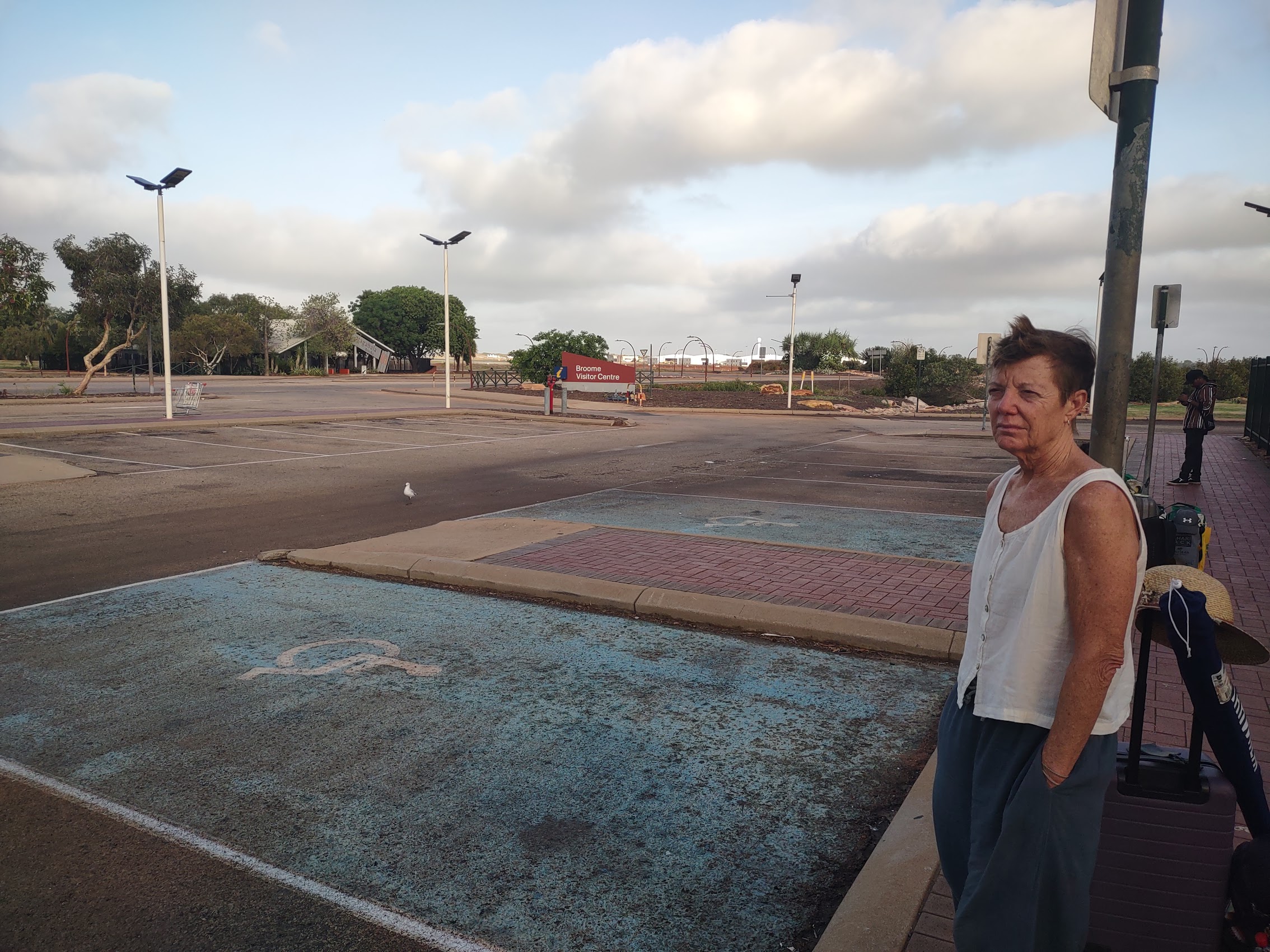
Not long after sunrise, at an hour not particularly agreeable to my travel companion, we found ourselves hopping off the HOHO bus for the final time at our final destination on the Western Australia coast, the town of Broome.
BROOME
We didn’t know much about Broome before arriving there, but it seemed like the logical place to end to our travels up the western coast of Australia. Aside from the not unimportant fact that it had an airport from which we could fly back to Perth and then on to the east coast, Broome was the final stop for the HOHO bus and the logistics of travelling further north would have been quite challenging. In any case, it looked like an interesting enough place with quite a bit to see and do, so we booked a place there for 6 nights.
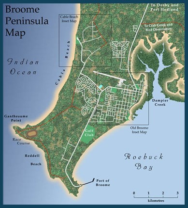
Broome is situated on a peninsula stretching from north to south with Roebuck Bay to its east and the Indian Ocean to the west. The actual town of Broome is situated on Roebuck Bay with the airport on its northern side (really pretty much in town) with residential neighborhoods to the west and resorts and upscale residential neighborhoods north of the airport along Cable Beach.
The town of Broome, which was established in 1883, has a history based around the exploits of the men and women who developed the pearling industry, starting with the harvesting of oysters for mother of pearl in the 1880s to the large present-day cultured pearl farming enterprises. Unfortunately, the history of pearling in the region, which for quite some time relied on slaves and indentured servants (initially First Peoples, then the Chinese, mostly women until this was eventually banned) led to numerous incidents of racially motivated conflicts over the years and racial segregation persisted in Broome until the 1970’s.
Today Broome has a population of about 15,000, making it the 9th largest city in Western Australia (and by far the largest city we had stayed in since leaving Fremantle). While the pearling business continues to be the largest industry in Broome, tourism has become an increasingly big part of the local economy due to Broome’s location in the Kimberly Region of Western Australia, arguably the most beautiful region on the entire continent.
Our Place in Broome
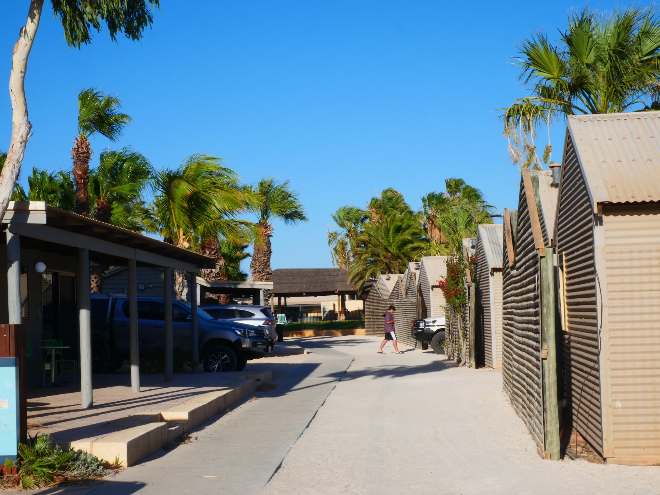
The HOHO bus had dropped us at the Broome Visitor Center near the center of town but where, at the early hour of 6:30 AM (over which Colleen did not seem particularly happy) there were absolutely no signs of life. As the walk to our stay in Broome was about an hour and, with all of our bags and what not, the schlep would likely have turned into a shit show, so Colleen had made arrangements to have our host, Graeme, pick us up.
Graeme arrived about ten minutes after we called him and, in about another ten minutes we arrived at our new home for the next six days located in the nearby residential neighborhood of Cable Beach adjoining (you guessed it!) the actual Cable Beach (the primary reason we selected this location).
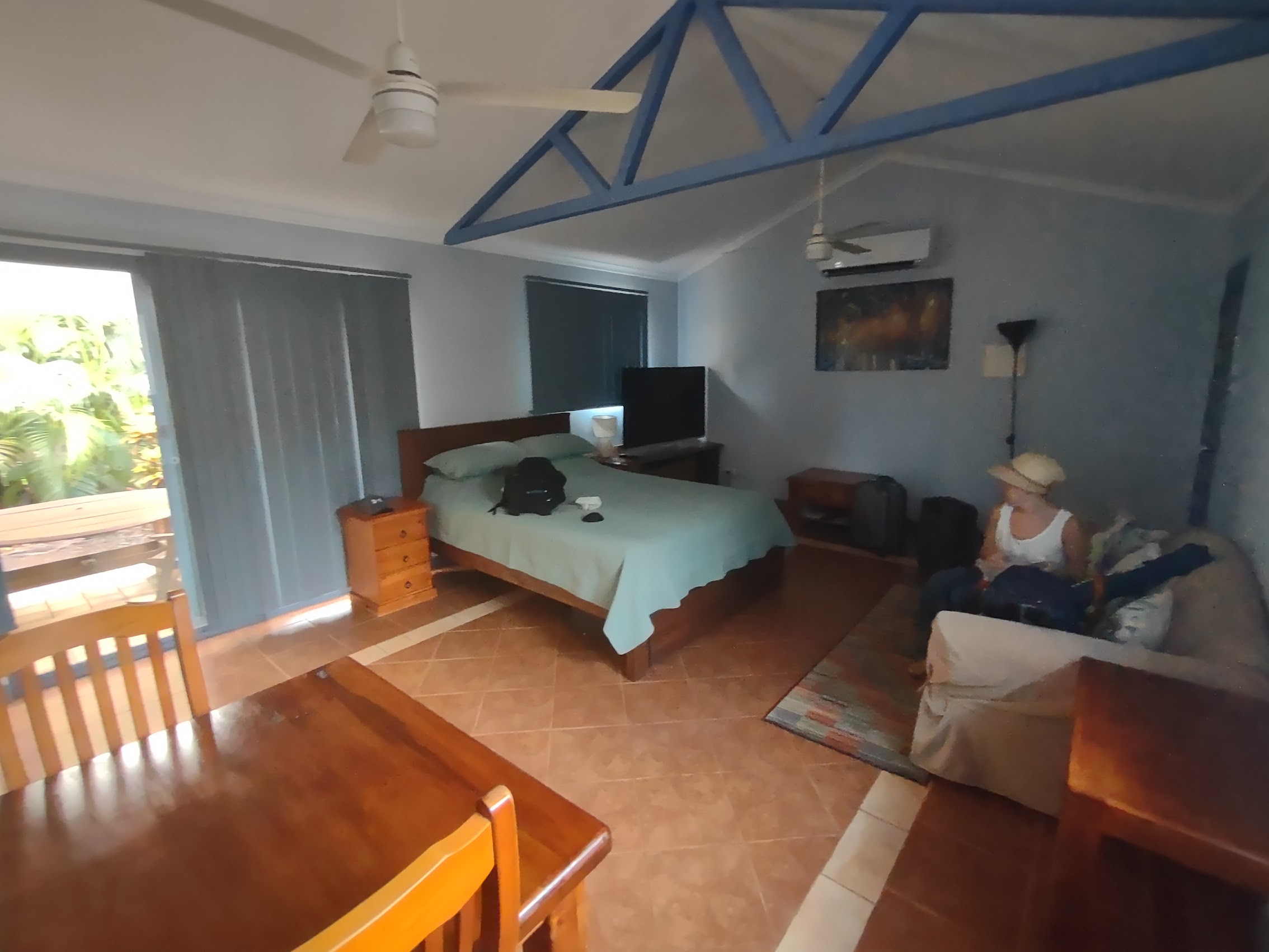
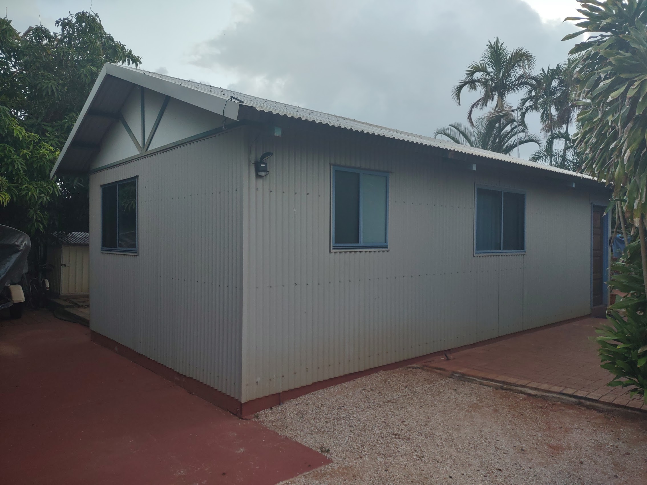
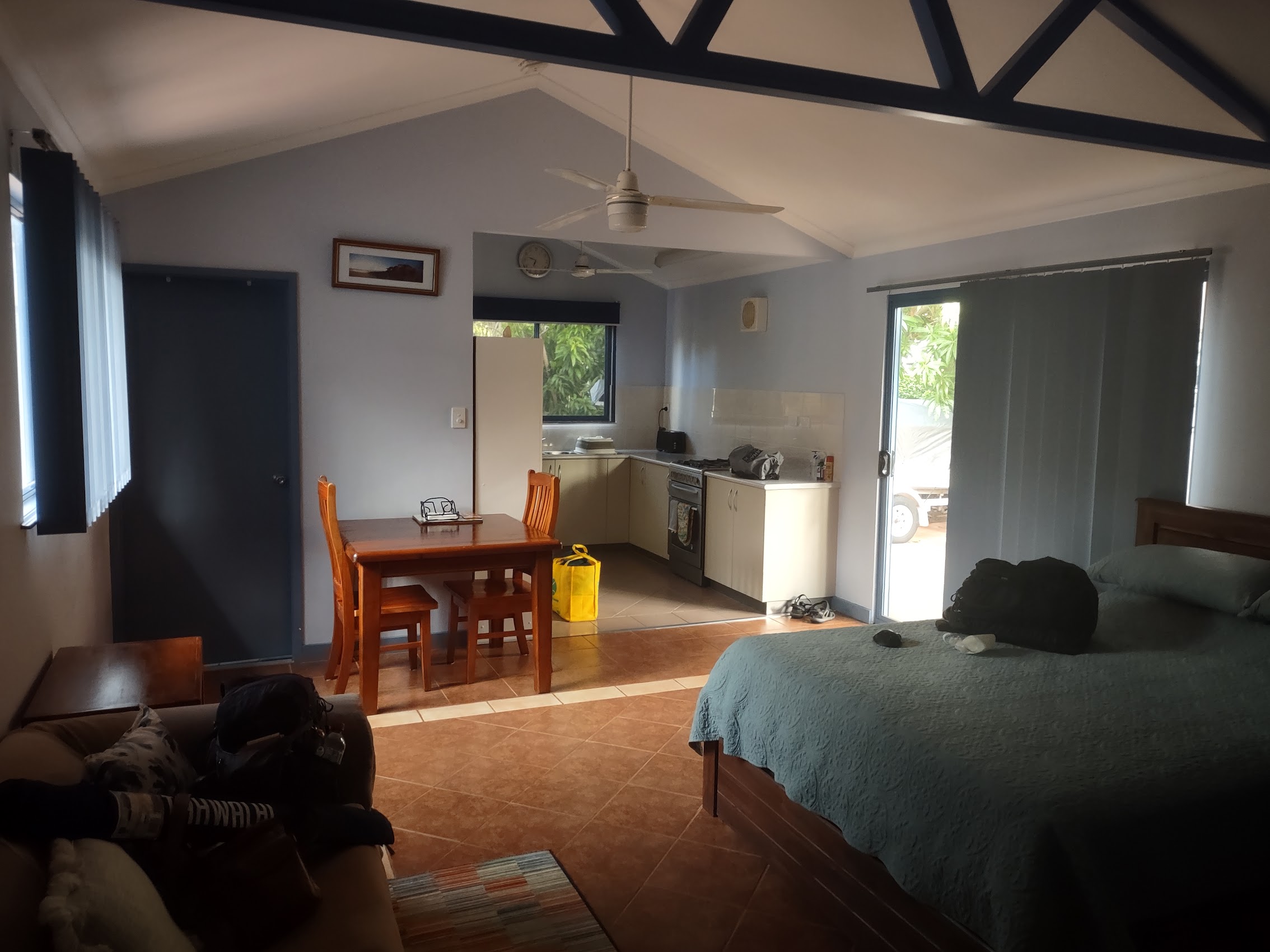
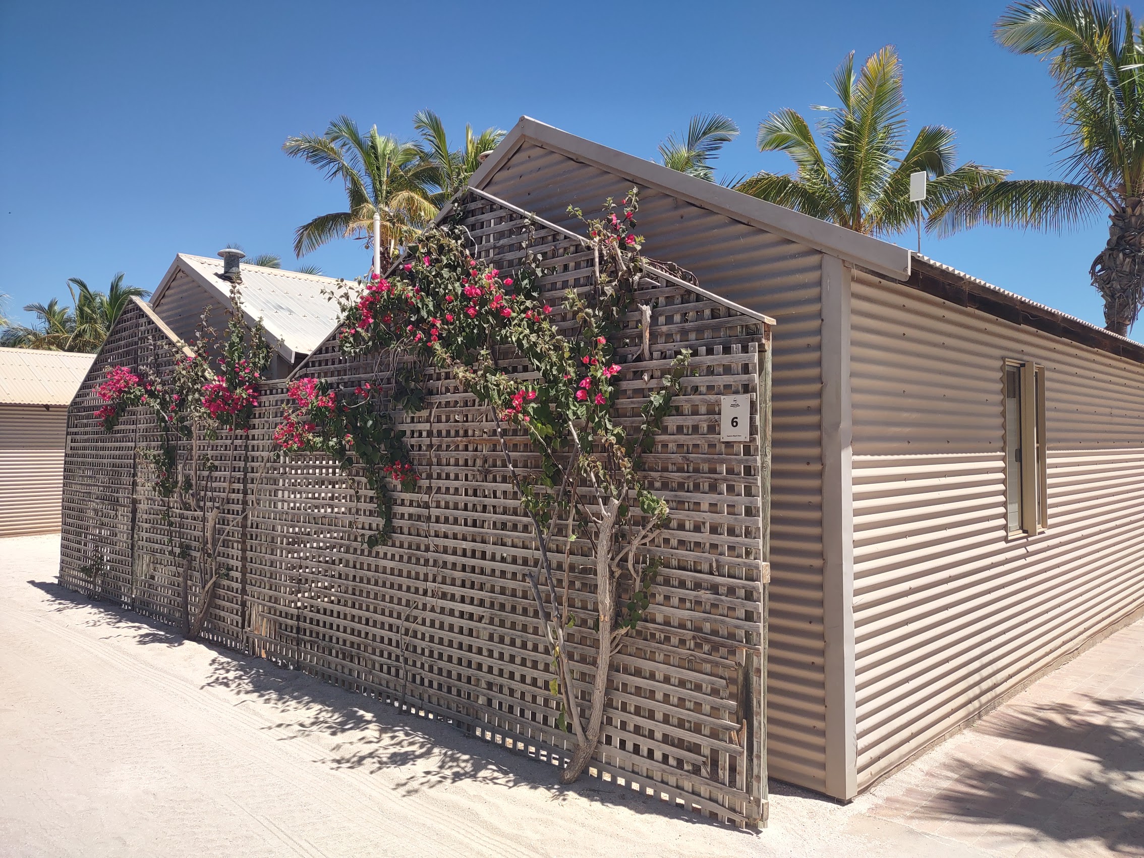
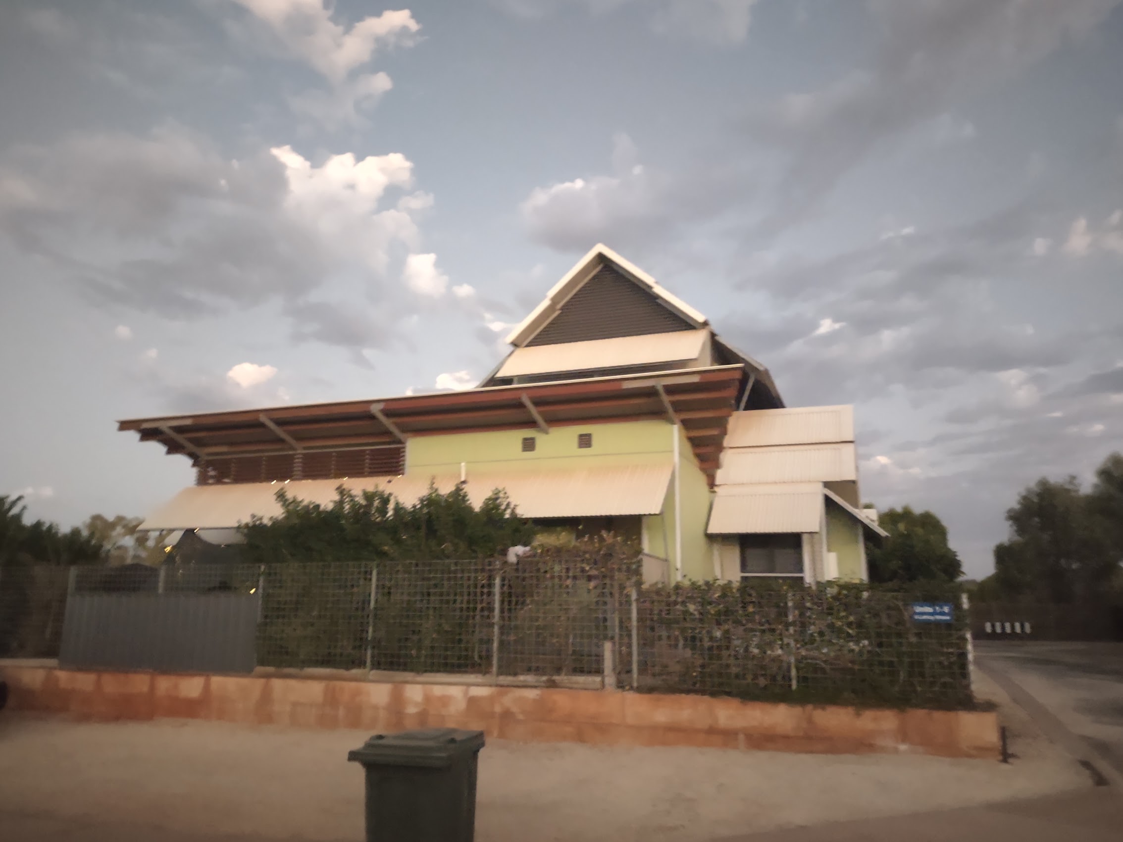
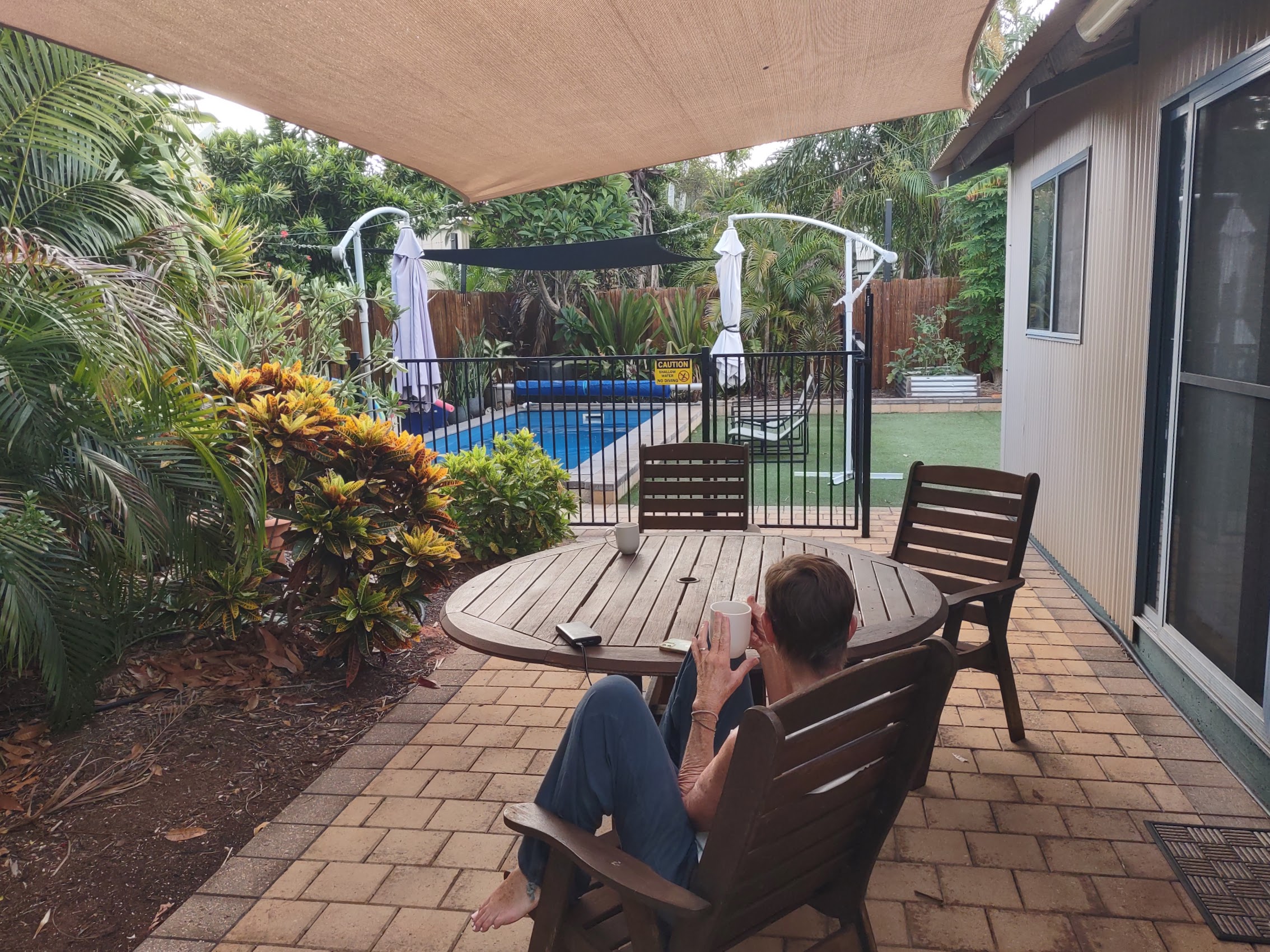
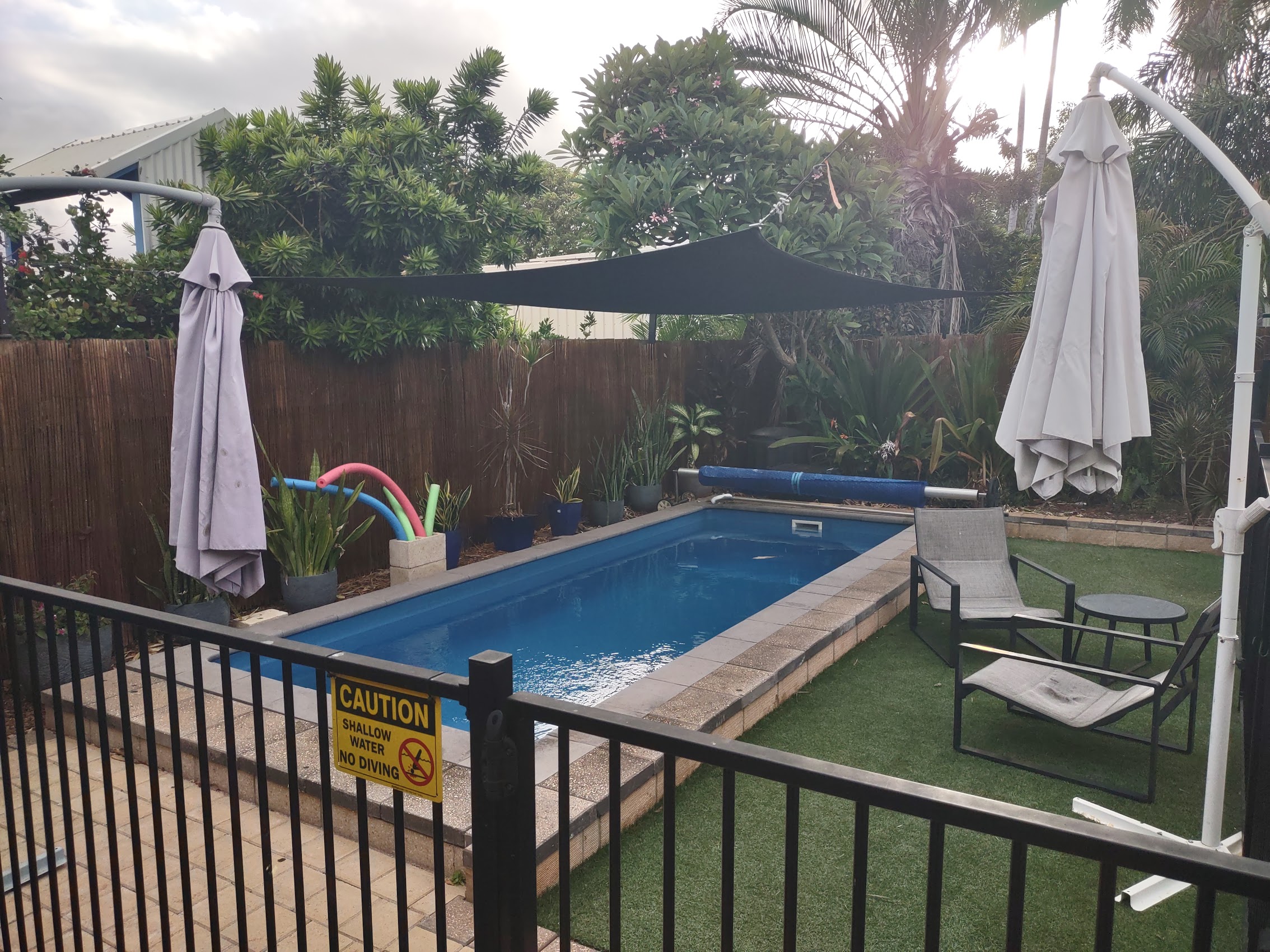
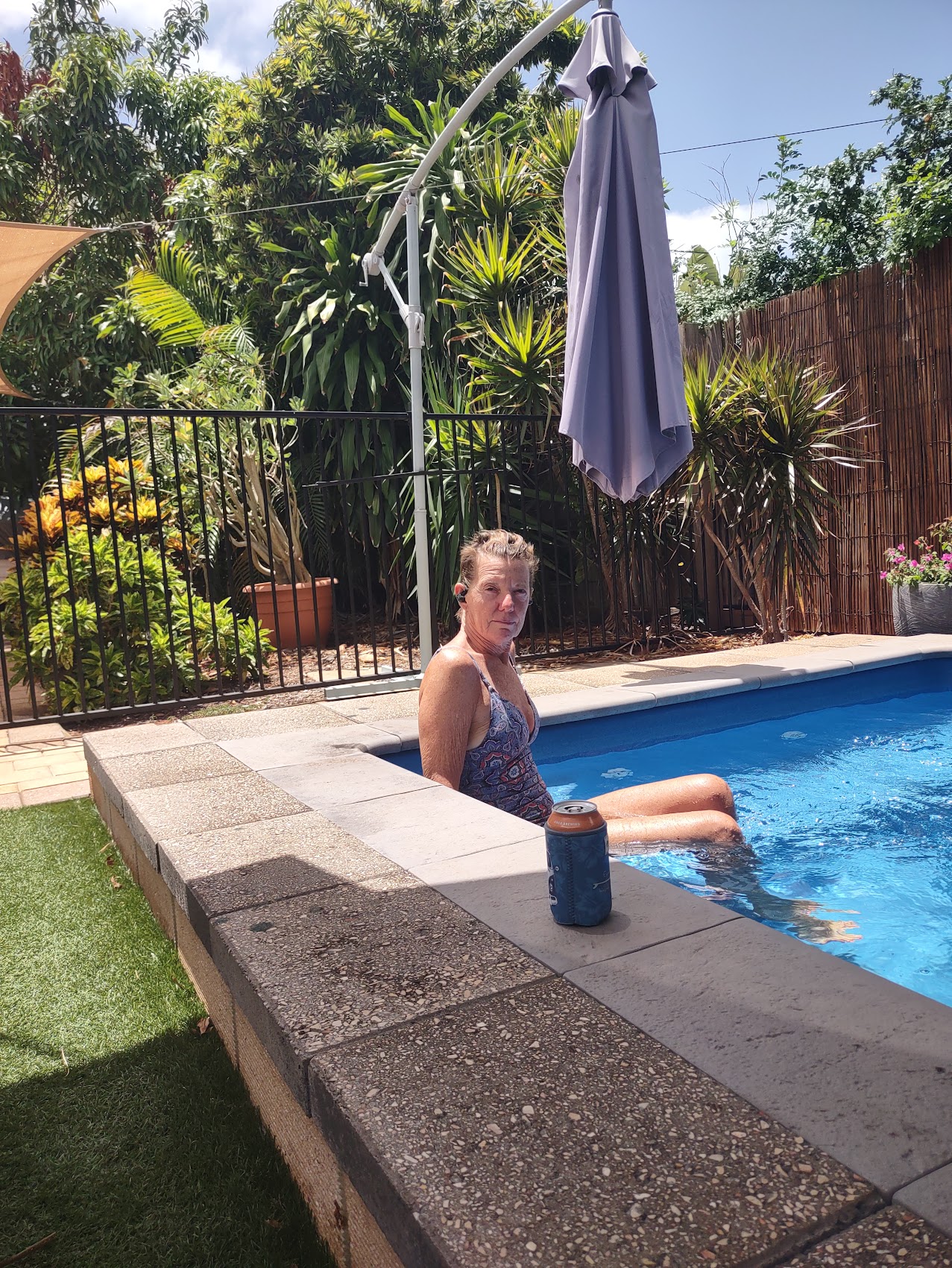
Our stay was in a free-standing guest house behind Graeme’s which they had converted from a utility shed for an adult child who moved home which at first glance (I have to admit) didn’t look much different from Area 51 in Jurien Bay. But on the inside was a very comfortable and roomy studio with a good kitchen and a great bed, and which opened onto a nice secluded garden corner with a shaded patio, a small yard, and a small private swimming pool where we ended up spending most of our afternoons (really hot!).
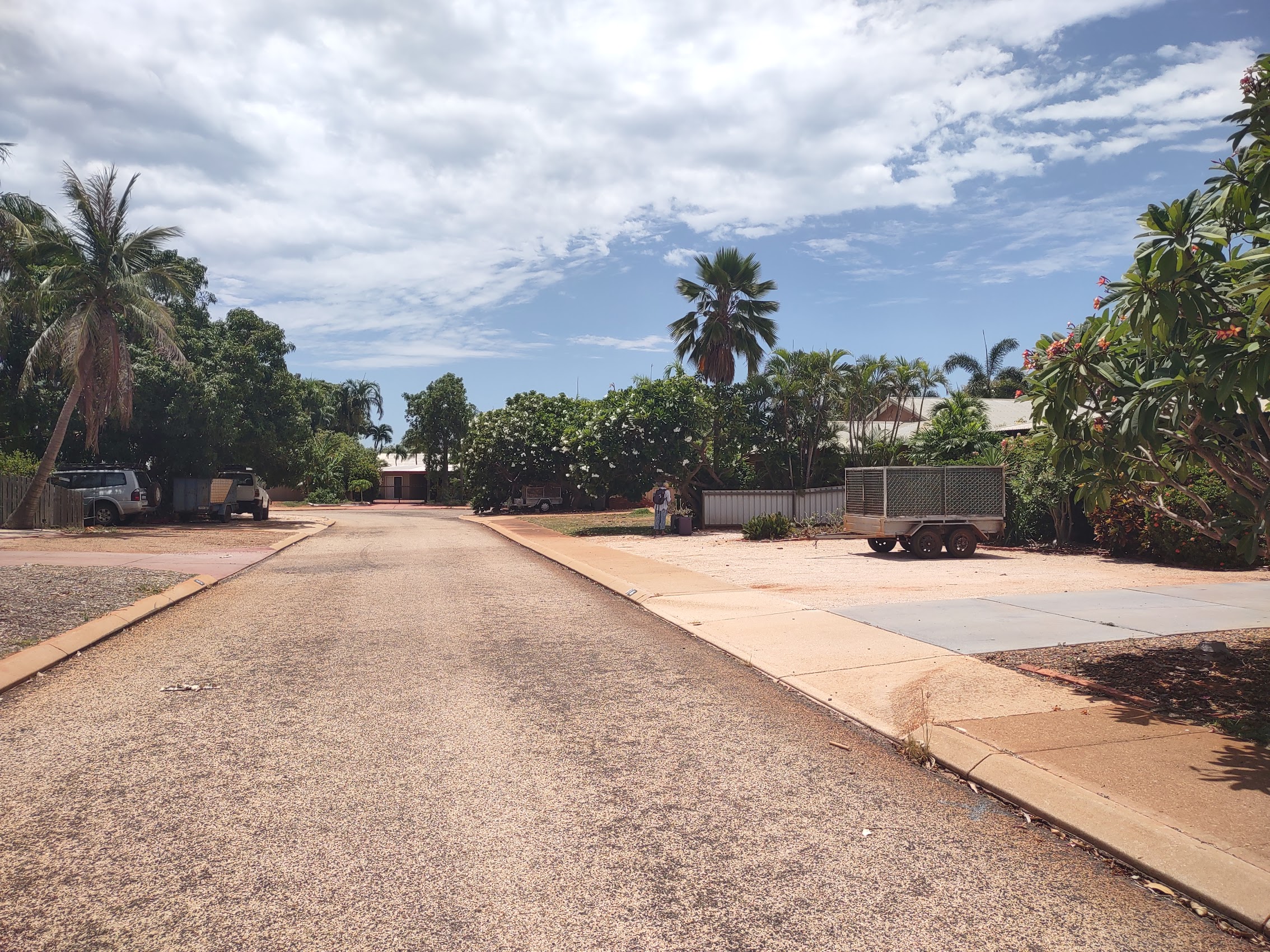
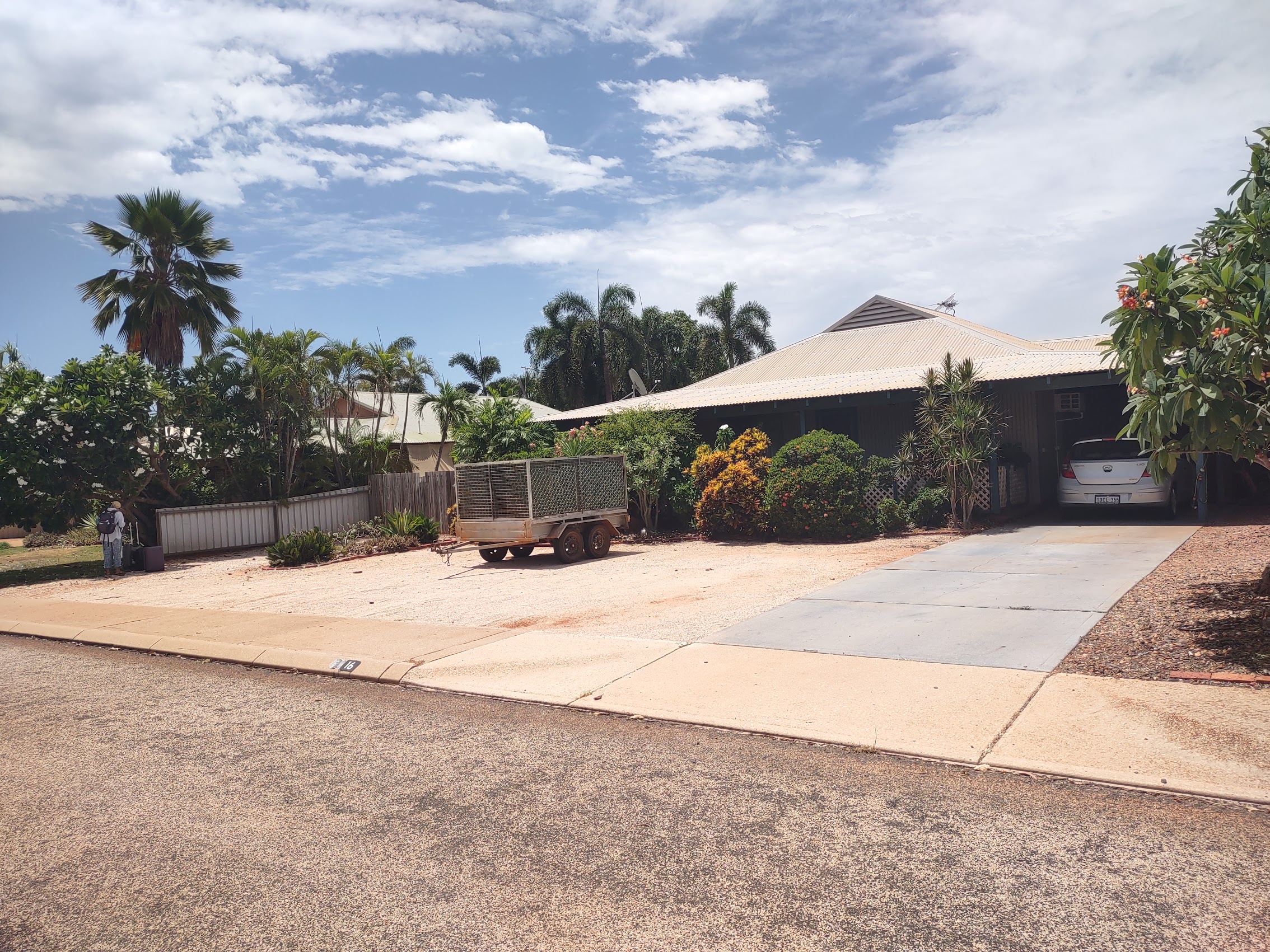
The neighborhood of Cable Beach was laid out very much like an American suburban subdivision with purposely winding streets and houses set back from the road. With its lush tropical landscaping, it could be mistaken for a residential neighborhood in Florida were it not (again) for the preponderant use of corrugated metal as the primary construction material.
The Town of Broome
After a brief settling in at our new place, we borrowed a couple of bikes from Graeme (more about bikes later) and headed back into town as we had read that there was a weekly artisan’s market (the “Courthouse Markets”) which only happens on Saturday mornings. The ride into town from our place in Cable Beach only took about 15 minutes (versus what would have been about an hour walk). Given the absence of any regular street grid in Cable Beach, we were happy to have the bike handlebar phone holder I had purchased in Perth (and last used on Rottnest Island) which allowed us to easily navigate with GPS.
Once out of Cable Beach we were a bit taken back by the volume and speed of car traffic on the main roads, which confirmed that fact that we were in a much larger town than we had seen in some time. About halfway into town we passed a large shopping center (with a Woolie’s and a BWS!) which became our regular stop for groceries and beer.
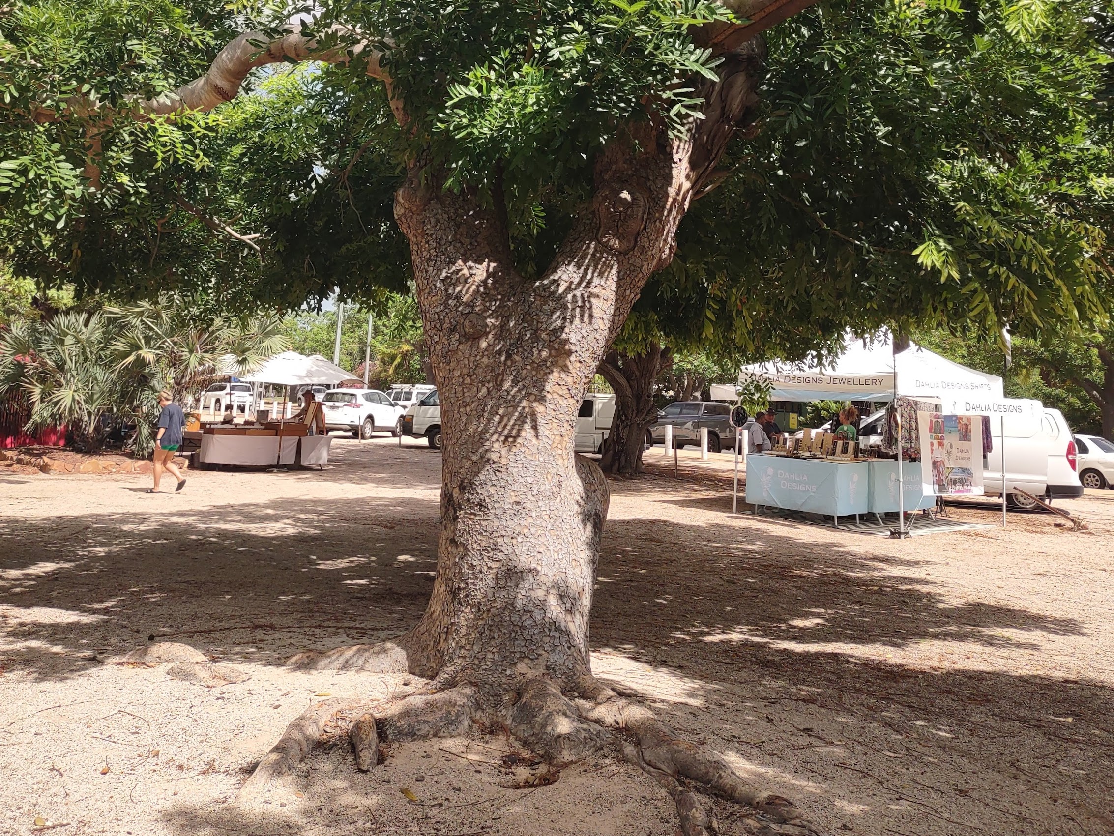
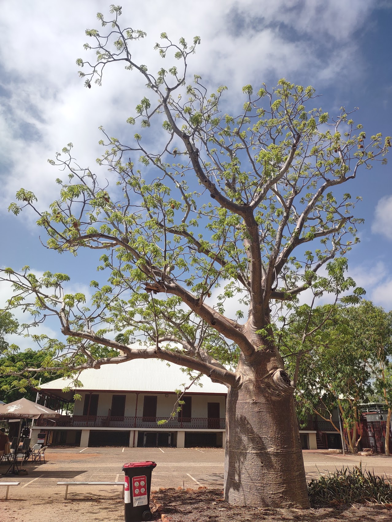
The Courthouse Markets was an assemblage of pop-up tents in an open area adjoining (yes, you guessed it!) the Courthouse, with one lonely baobab tree. (The last time we had seen any of these was in Zanzibar. So oddly beautiful!) The market was a bit smaller than we had imagined (we were advised that it is much larger during the tourist season) but we did see some interesting items, though not the type of native handicrafts we were mistakenly hoping for.
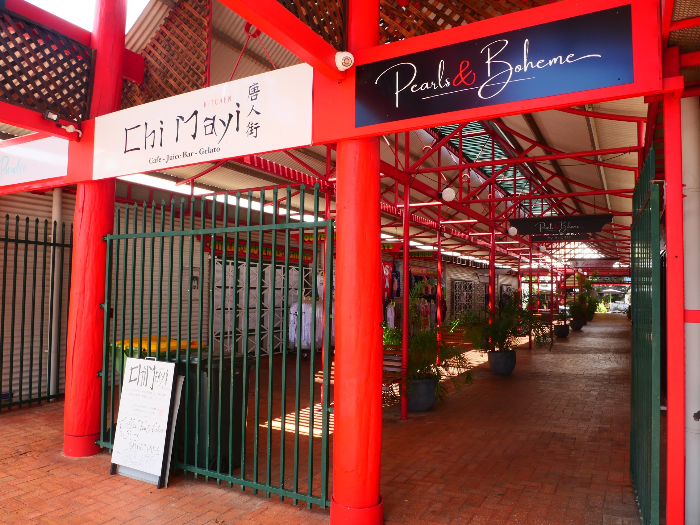
From the Courthouse Markets we made our way to a small neighborhood on the far side of the town’s sports oval called “Chinatown” because it was once the center of the Chinese community in Broome. Today it is an interesting collection of shops and a few restaurants along with an old movie theatre, a couple of hotels, and several shops specializing in pearls. Our first visit there was more of a reconnaissance run, but we earmarked a number of shops to come back to and spend more time in (which we did).

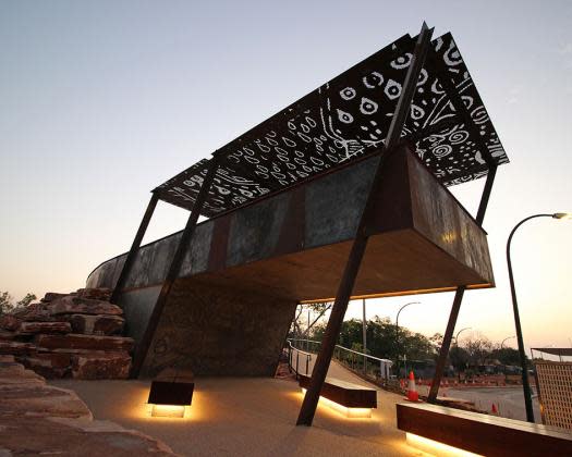
From Chinatown we made our south along the eastern edge of town which is shielded from Roebuck Bay by a belt of mangrove trees, passing an assortment of statues and monuments along the way.
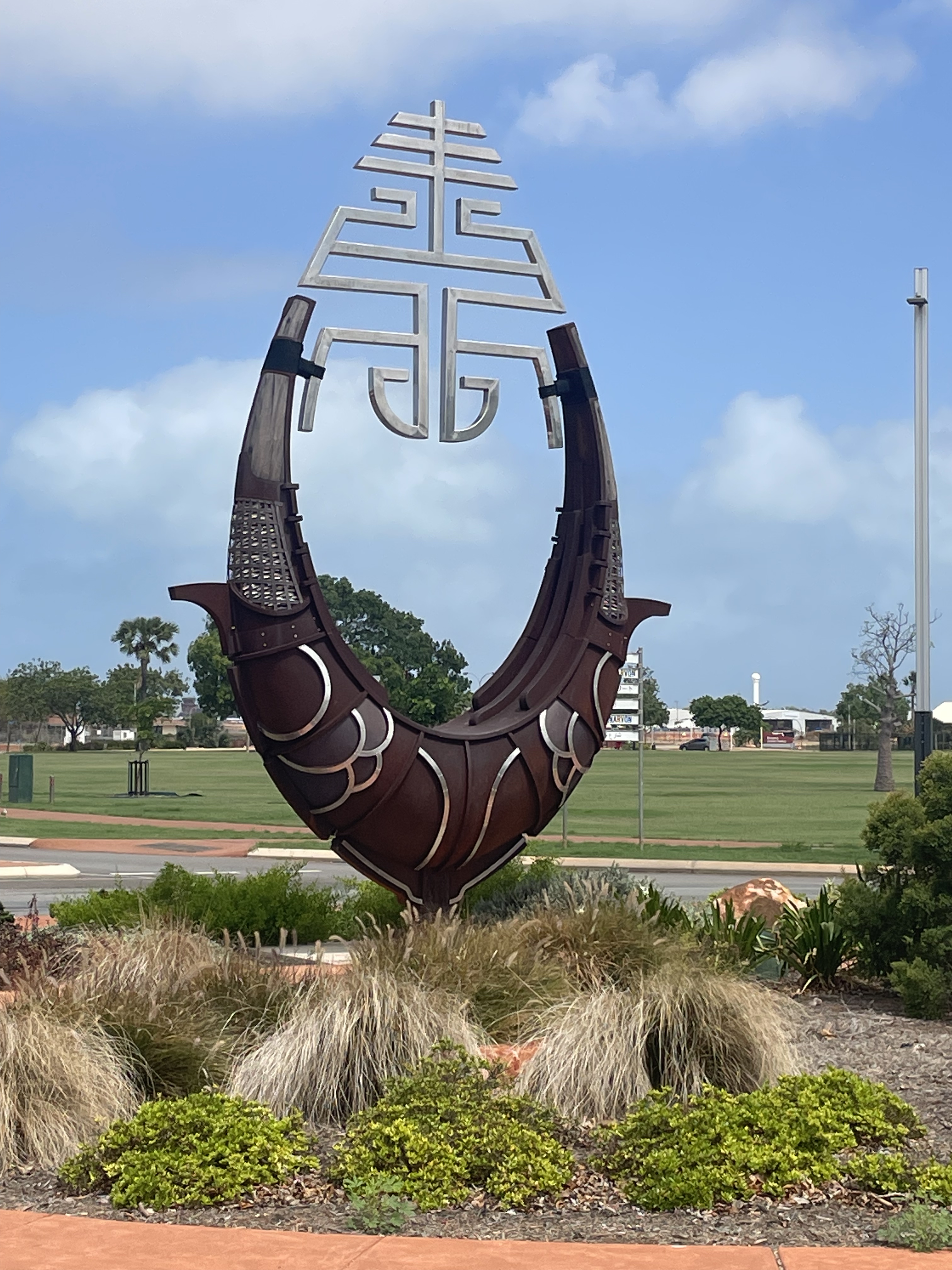
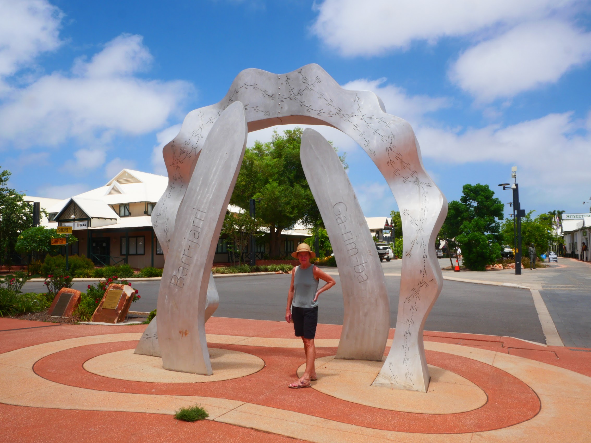

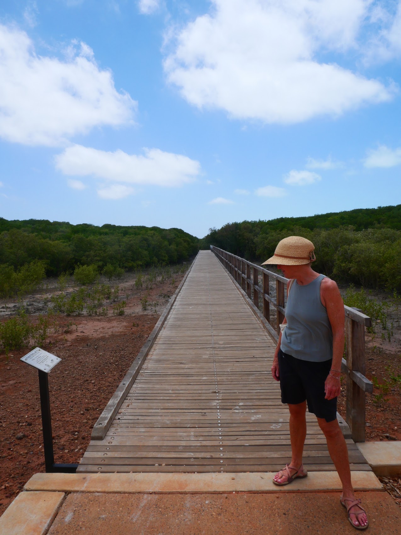

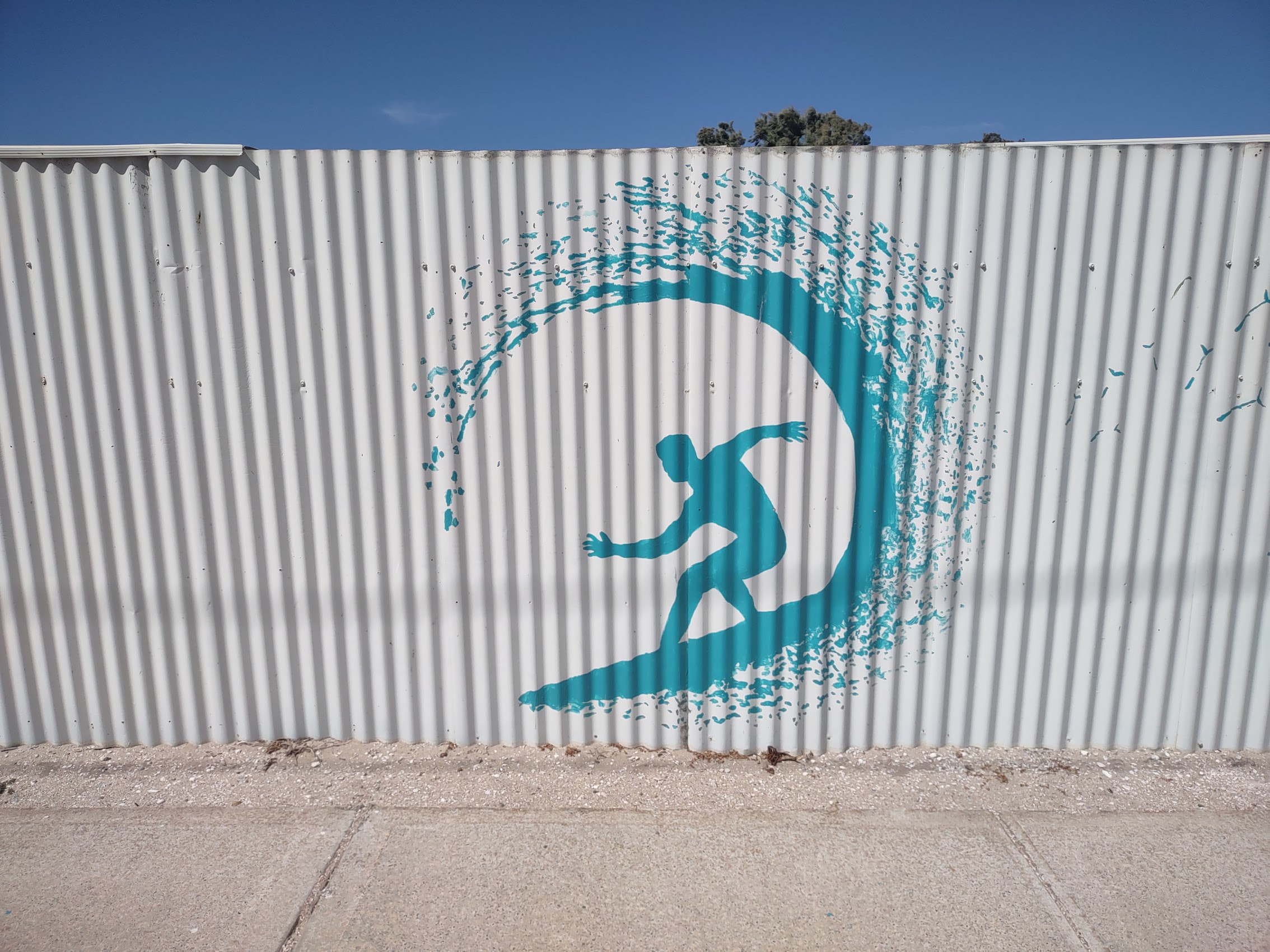
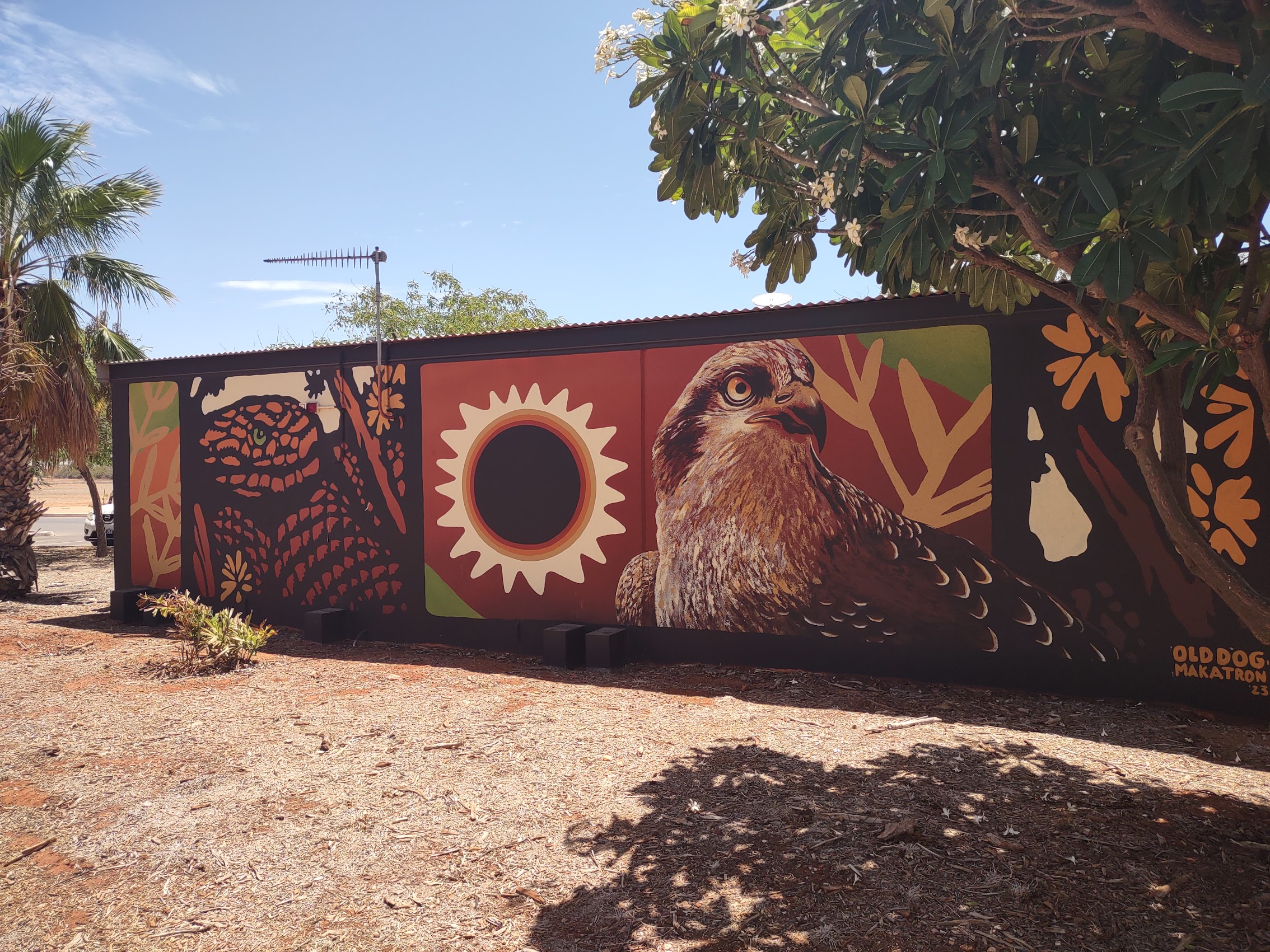
At the crest of a small hill where the walkway turned back toward the center of town, we came upon a very cool elevated structure made of Corten steel (it’s the kind of steel that is supposed to rust) with a plate steel roof which had been laser cut to cast images derived from aboriginal art. We climbed up the ramp to the top of the structure and were completely blown away by the view of Roebuck Bay, having had no idea how beautiful it would be.


The character of the Broom town center was much like the other towns we had visited on the Western Australia coast. Most of the buildings, which generally seemed to be of an indeterminate age, made extensive use corrugated metal with awnings and shade structures to protect from the sun (a style I had begun to identify as “Australian Colonial”). But there were some newer less traditional, even modernist structures (like the overlook) including a few which appeared to be making reference to the town’s Chinese past.
There was one way in which Broome was different from the other cities and towns we had visited thus far in Western Australia was the visible presence of Aboriginal/First Nations people. (First Nations is the preferred term, which includes both the indigenous peoples of Australia and the Torres Strait Islands to the north.) We discovered that while First Nations people only accounted for about 2% of the population in Perth, Fremantle, and the other towns we had thus far visited, they comprise almost 25% of the population of Broome.
Upon learning this, our first reaction was to wonder why we weren’t seeing more First Nations peoples but, after having been in Australia for over 6 weeks, we were happy to finally have the opportunity to observe and maybe even interact with these indigenous peoples. [For the record (and legally since 2006), the Yawuru people are the Native Title holders of the area now called Broome and have lived in that area for tens of thousands of years before the coming of British settlers.] And, while we were able to see and, in a very limited way, interact with some Yawuru people, we struggled to understand the nature of their relationship with the white people of Broome. (To be continued…)
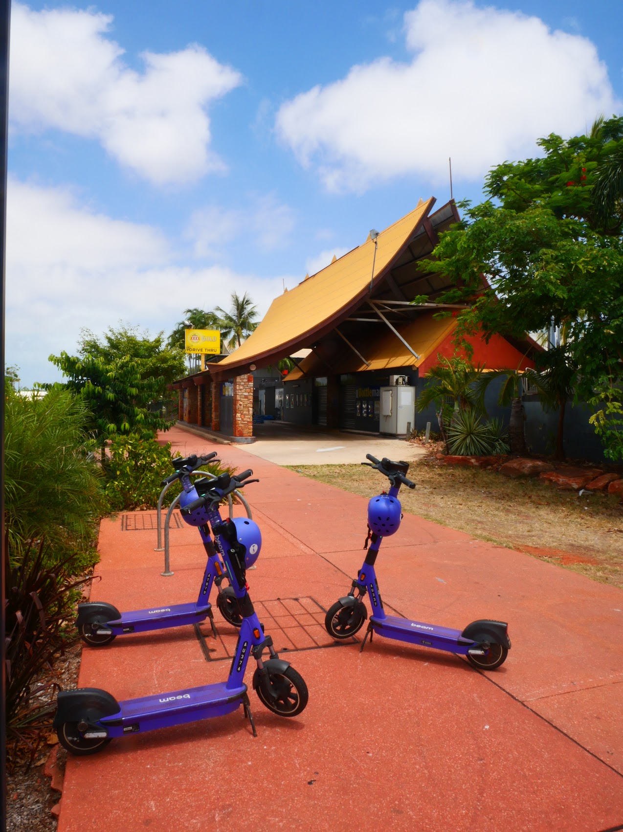
E-Bikes
When we borrowed (traditional pedal-powered) bicycles from Graeme on our first morning in Broome, he mentioned that he also had two electric bikes which we could borrow if we preferred. While we had had many opportunities over the previous year to rent electric bikes, we had never done so, mostly because of cost (E-bikes typically costed four or five times as much as pedal-powered bikes), an expense which we felt was unnecessary and, frankly, we kind of viewed their use as just being lazy. (You may recall me mentioning that back at the start of our trip in Bocas del Toro, we used to whisper “Cheaters!” whenever we passed or were passed by people on E-bikes while we pedaled along on our perfectly fine old-fashioned bikes.)
Even when we were in Dahab, Egypt with daytime temperatures in excess of 110 degrees, we stuck with conventional bicycles (at that point, I don’t think that we even considered E-bikes to be an option). But, after our first day of riding in the intense heat of Broome and knowing that there were places we wanted to see in the area which were too far to walk and which would have been pretty long rides on conventional bikes and because the cost of the E-bikes was the same as the pedal-powered ones (free!), we decided to give the E-bikes a shot.
Confessing that neither of us had actually ever ridden on an E-bike, Graeme offered to give us an instructional ride up the coast on our first evening. This was in fact Colleen’s first encounter with a motorcycle type throttle, but she mastered it pretty quickly and we were off and, by the time we returned home about an hour later, were convinced that this was the way to go. We made arrangements with Graeme for where to leave the bikes for charging each night and that was pretty much that for the rest of our stay in Broome. (In retrospect, given the heat and distances we travelled, I’m not sure we would have seen nearly as much had we not had the E-bikes, and even something as simple as going to the grocery store became a more enjoyable experience.)
Cable Beach
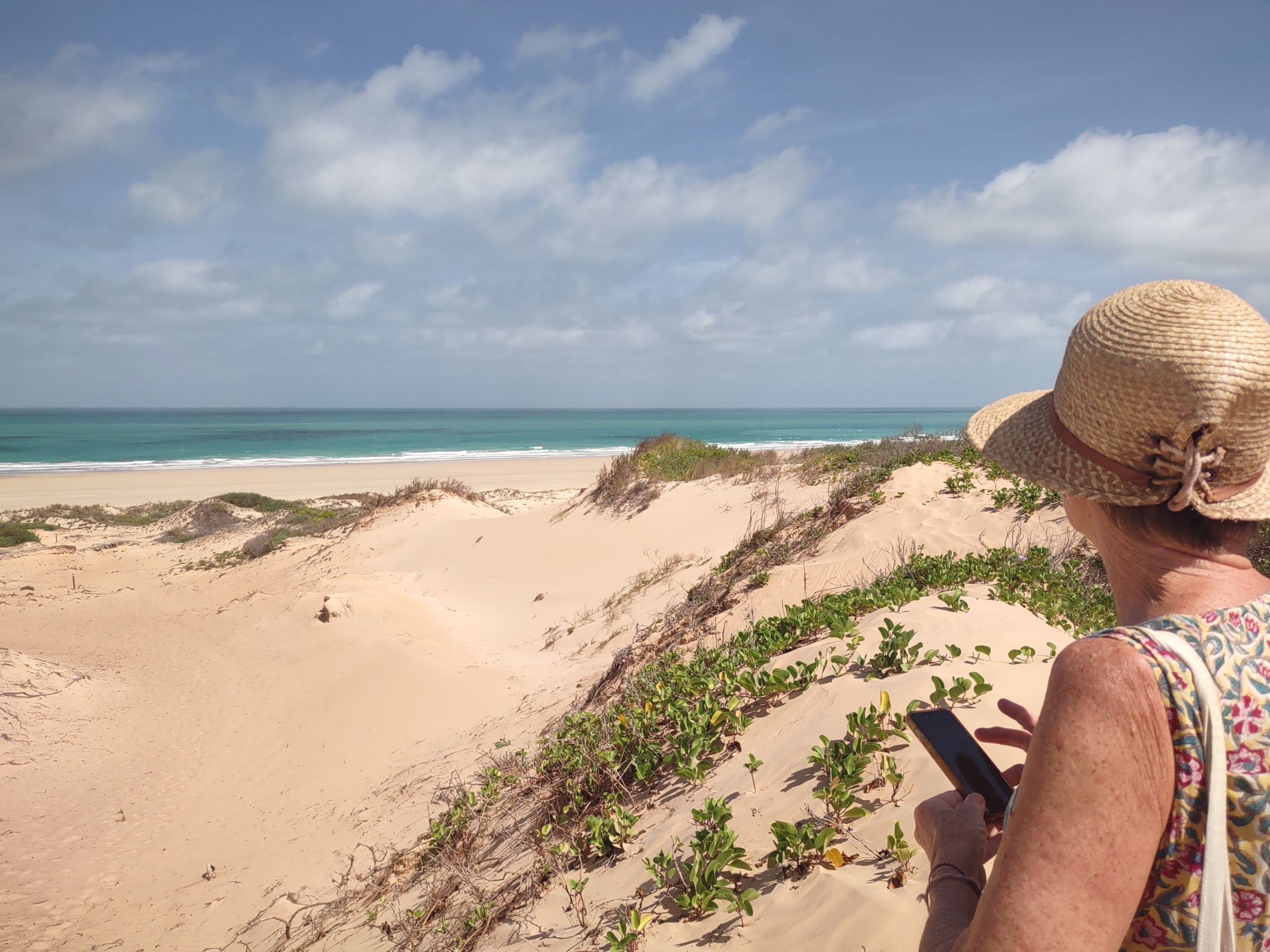
Cable Beach (the actual beach as opposed to the suburb we were staying in) stretches for almost 14 miles along the western edge of Broome along the Indian Ocean and is known for its white sand beaches, beautiful sunsets, and (of all things!) camel rides, for which it is apparently famous in Western Australia (but which seemed strangely out of place to us). We learned that Camels were brought to Australia in the 19th century from India and Afghanistan to help with transportation and labor. They were a vital part of the infrastructure development of the country and have now apparently become a vital part of the tourism industry in Broome.

We had last encountered so-called “camel trains” on the beach south of Essaouira, Morocco and have seen them elsewhere in the world (including on the beach of Oludeniz, Turkey on our honeymoon 35 years ago), but we hadn’t expected to see them in Western Australia. And, while the imagery of a camel train walking along the beach at sunset can be kind of compelling, it all seemed a bit contrived, and we really had no interest in actually taking a camel ride in any case.
For what it’s worth, Cable Beach got its name from the undersea telegraph cable from Java which was landed in 1889 (Cable Beach in Nassau, Bahamas was so-named for a similar reason) and served as Australia’s first and only communications connection to Europe and the rest of the world for many decades. We saw the north end (what he called the “Tourist End”) on our first evening in Broome on our introductory bike tour with Graeme. Although we didn’t actually go down to the beach, what we saw looked pretty good – a wide flat white beach stretching off into the distance with only a few people and (for the moment at least) no camels in sight.
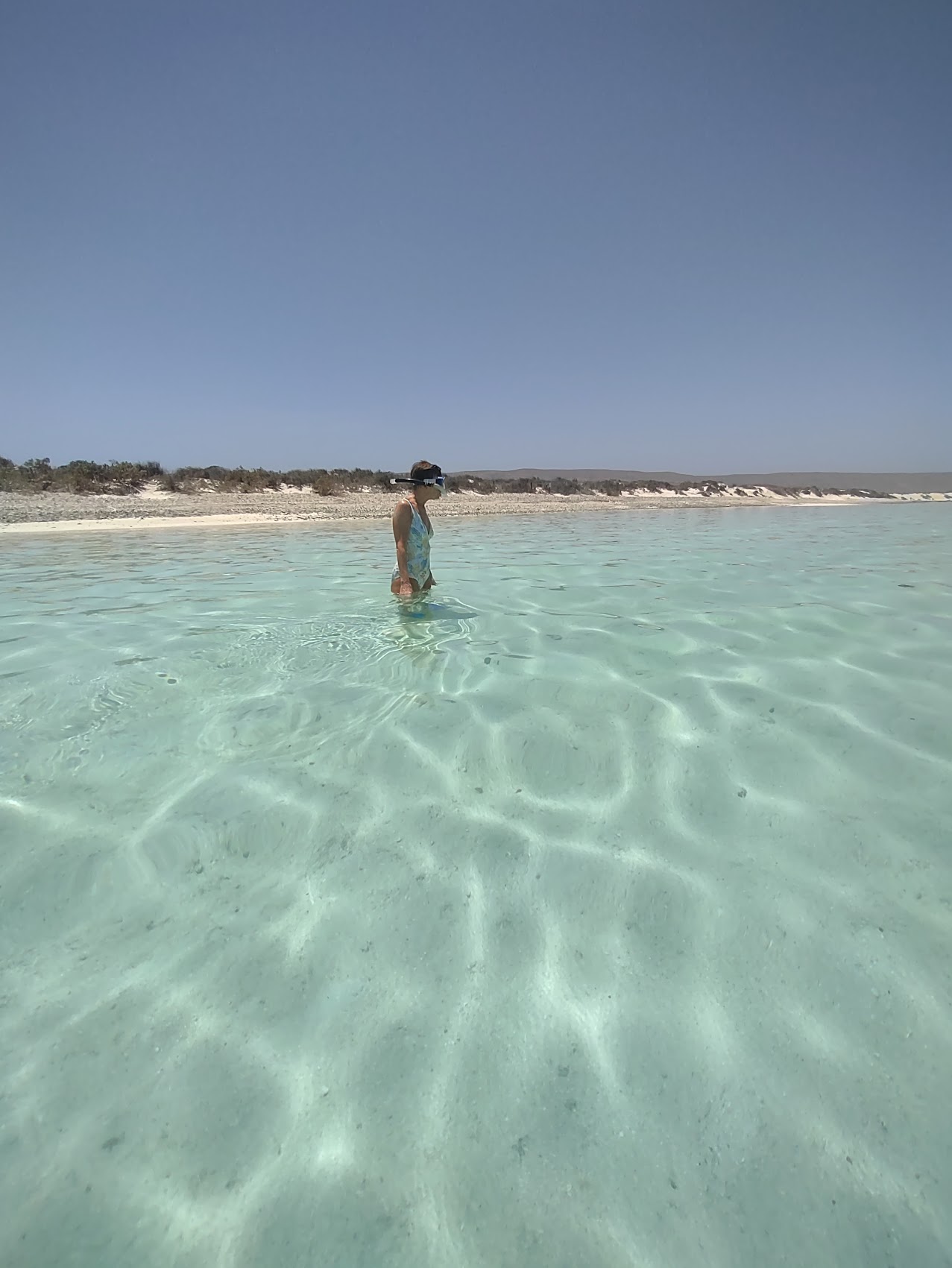
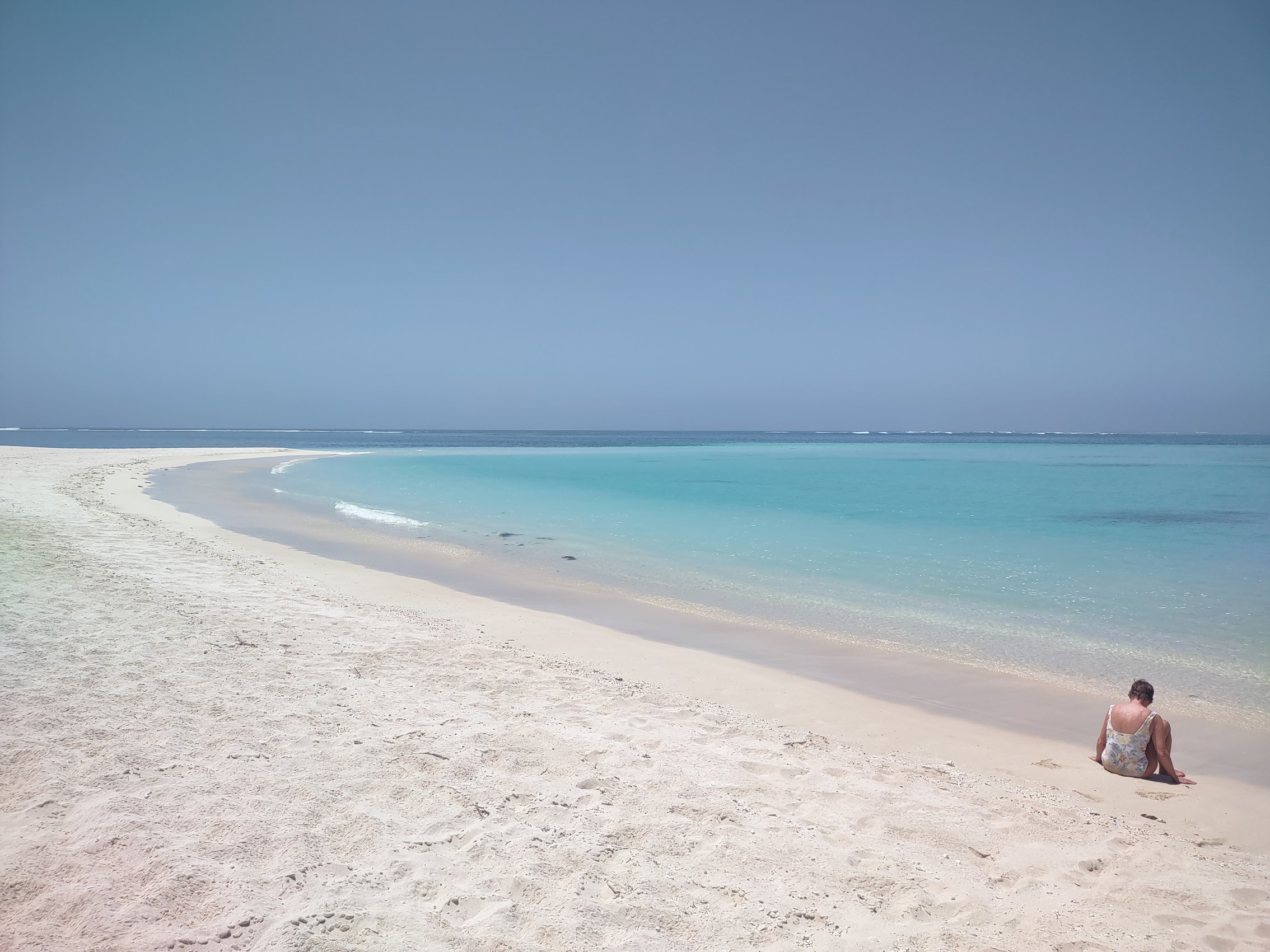
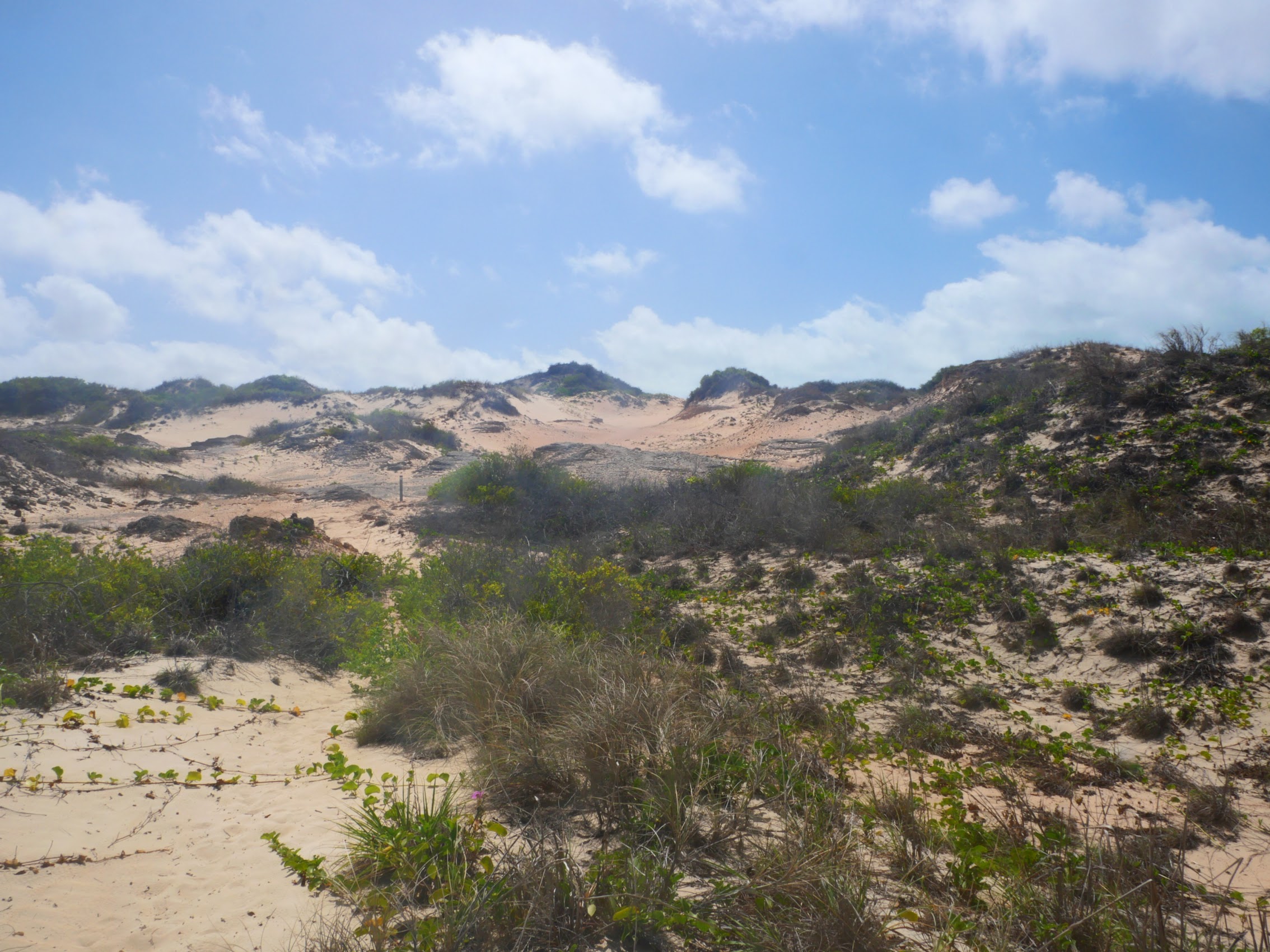
And so, we got going early the next day (sunrise was around 6:40 AM as it was summer there), a beautiful sunny Sunday morning, which seemed like a perfect day for the beach. Armed with directions provided by our host Graeme, we made our way on foot out of the suburb of Cable Beach and found the path which winds through the heavy bush separating the town from the beach. Beyond the bush, we encountered a series of dunes which turned out to be much larger and a bit more challenging to get over than we had imagined. After a bit of trudging along, we crested the last dune and finally reached our destination.


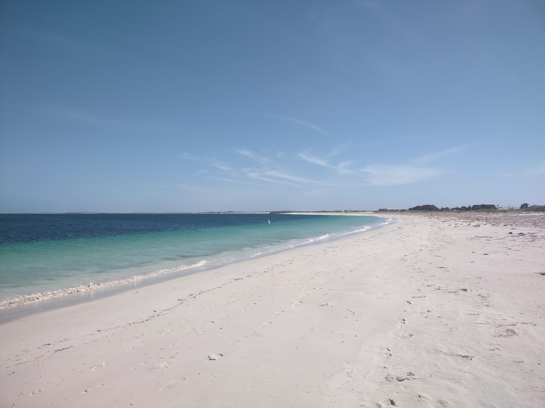
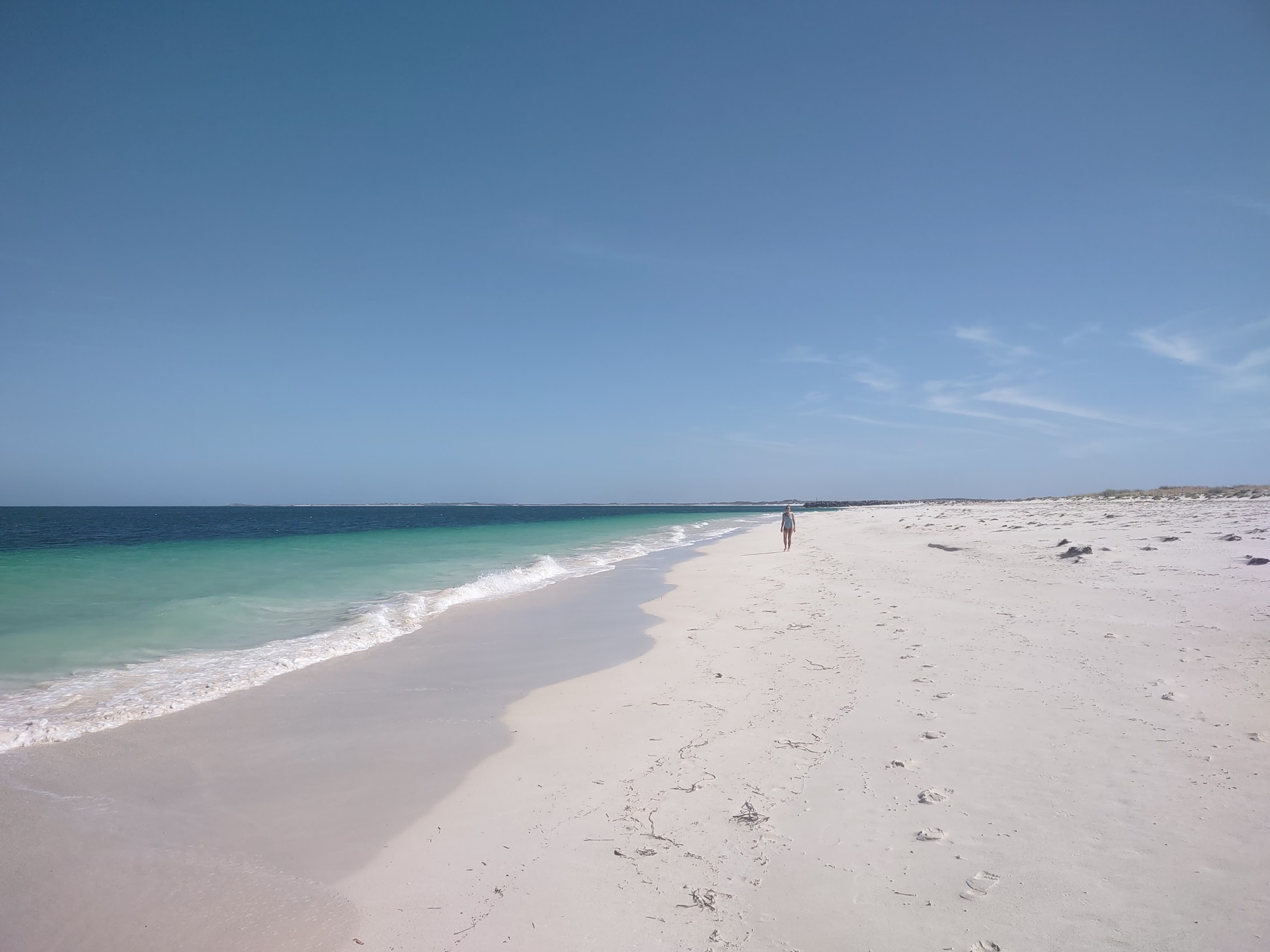
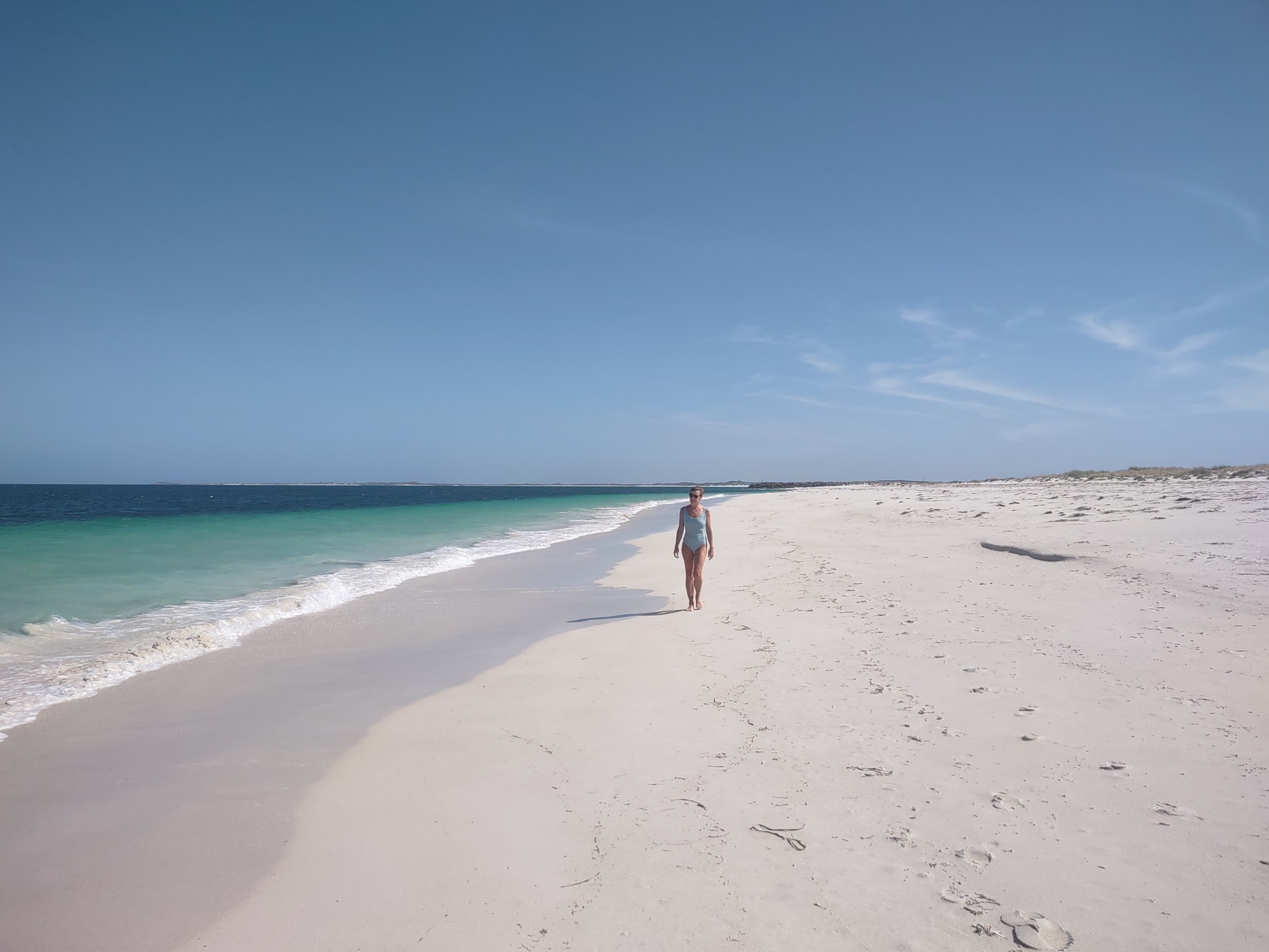
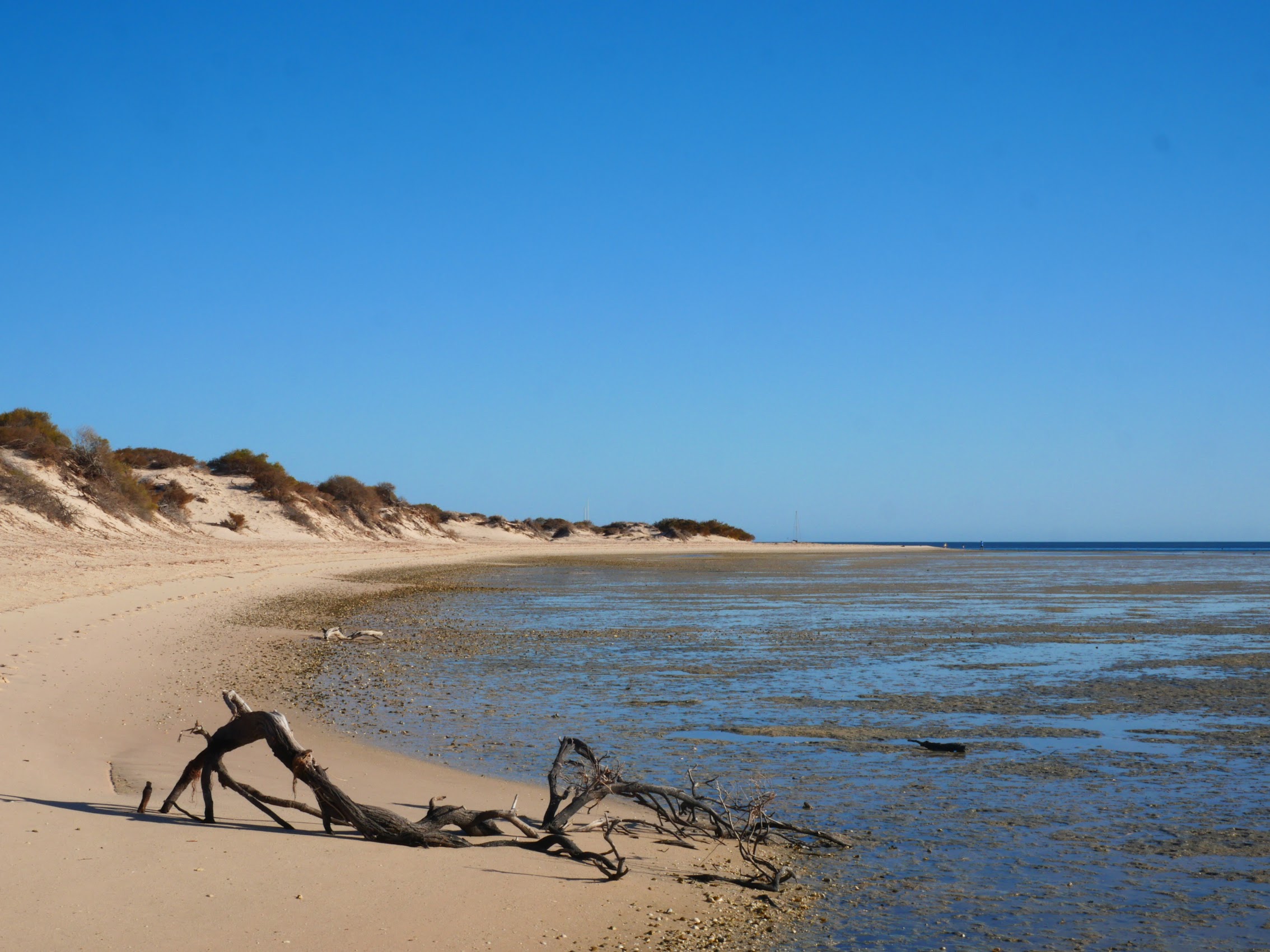
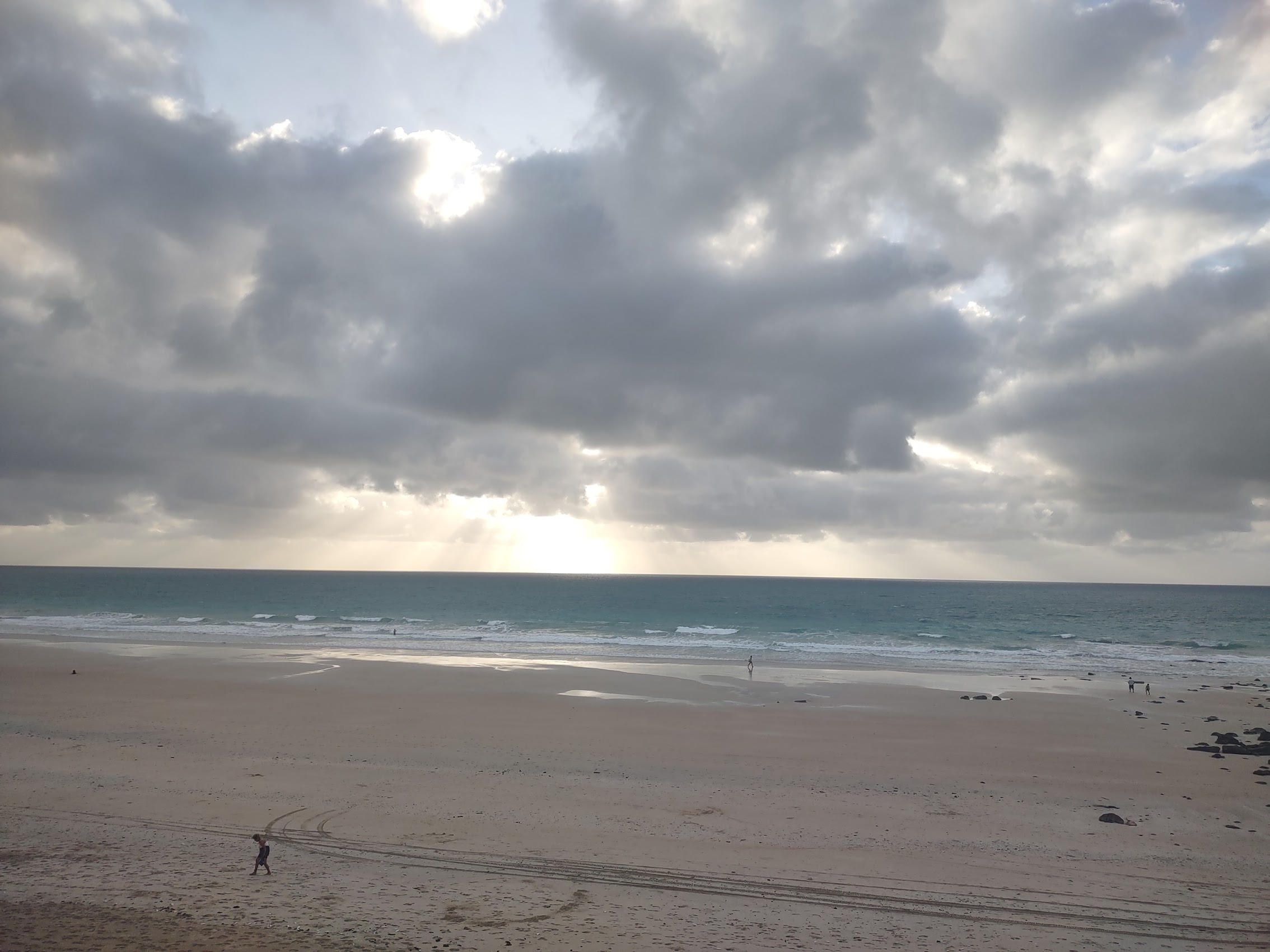
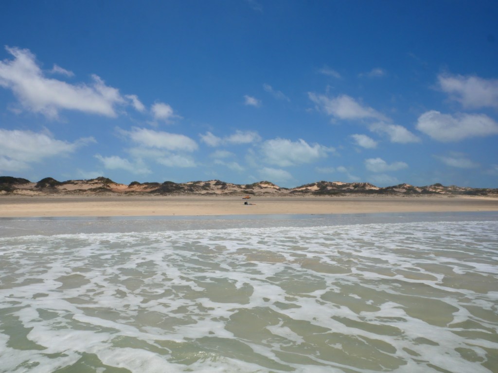
As beaches go, Cable Beach was pretty epic. With the tide out, the scale of it was immense, certainly one of the widest and flattest beaches we had ever seen, fringed by beautiful turquoise water and gentle waves, stretching off for what seemed forever in both directions. Though not the longest beach in Australia (Eighty Mile Beach, which we passed on our way to Broome and which, despite its name, runs for over 130 uninterrupted miles, has that honor), Cable Beach, which is over 14 miles long, was the longest stretch of uninterrupted sand we had seen since coming to Australia.
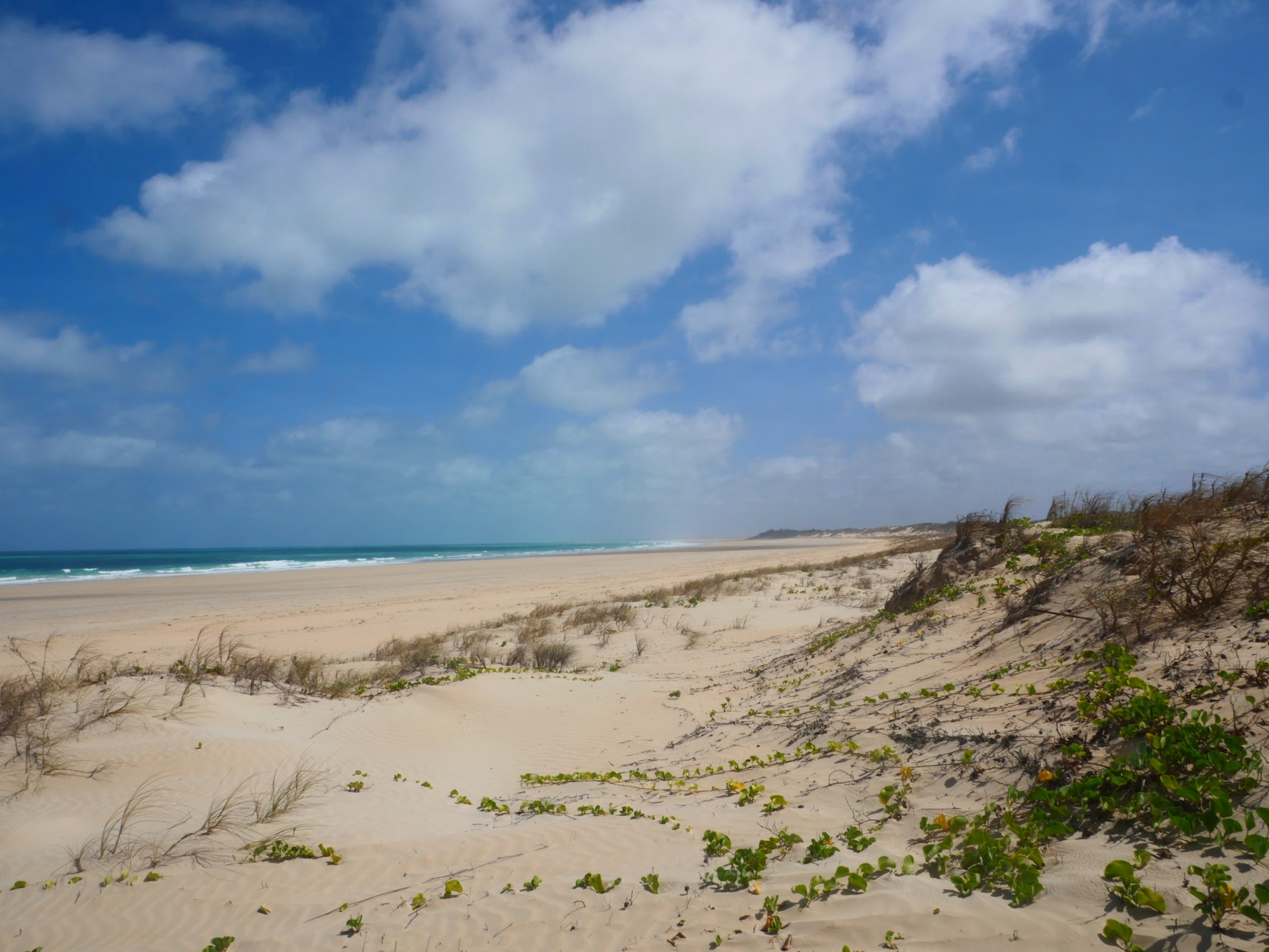
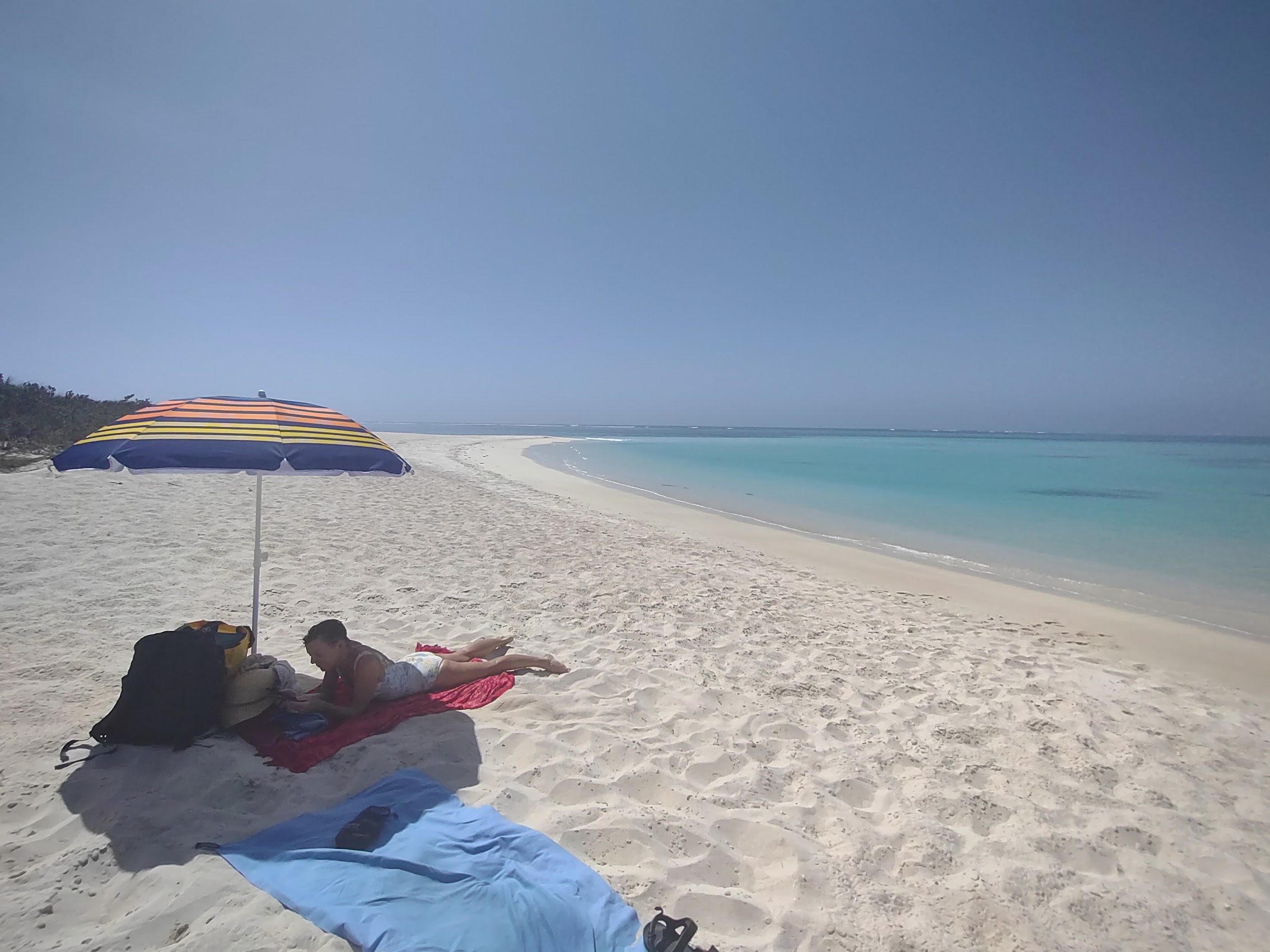
While we did eventually spy the forms of what appeared to be other people in the distance, the scale of it was so vast that we really felt completely alone. We had a wonderful morning laying on the beach enjoying the sound of the surf on its expansive emptiness, alternating between the sun (which was not too intense in the morning) and the shade of our umbrella, which we were quite happy to have as there was (once again) no natural shade to be found.
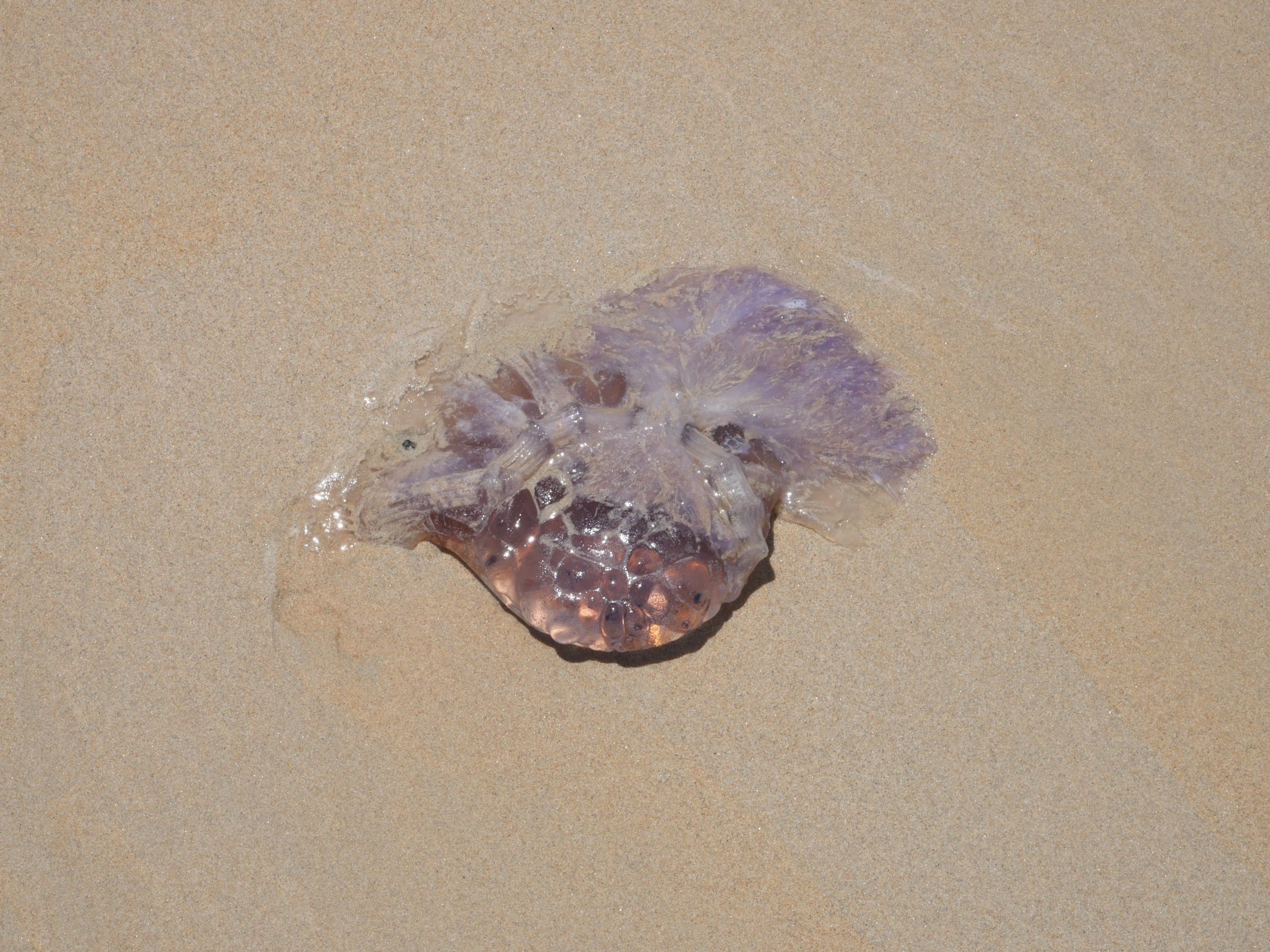
We waded into the shallow surf to cool off occasionally, but did so with a degree of caution because it was “stinger season” (“stingers” are what they call jellyfish here). Although we didn’t see any Box jellyfish (one of those Australian things that can kill you which were reputed to hang out of Cable Beach during the season), we did see the remains of something called a “cannonball” jellyfish on the beach which were quite large and made us even more hesitant to do any actual swimming.
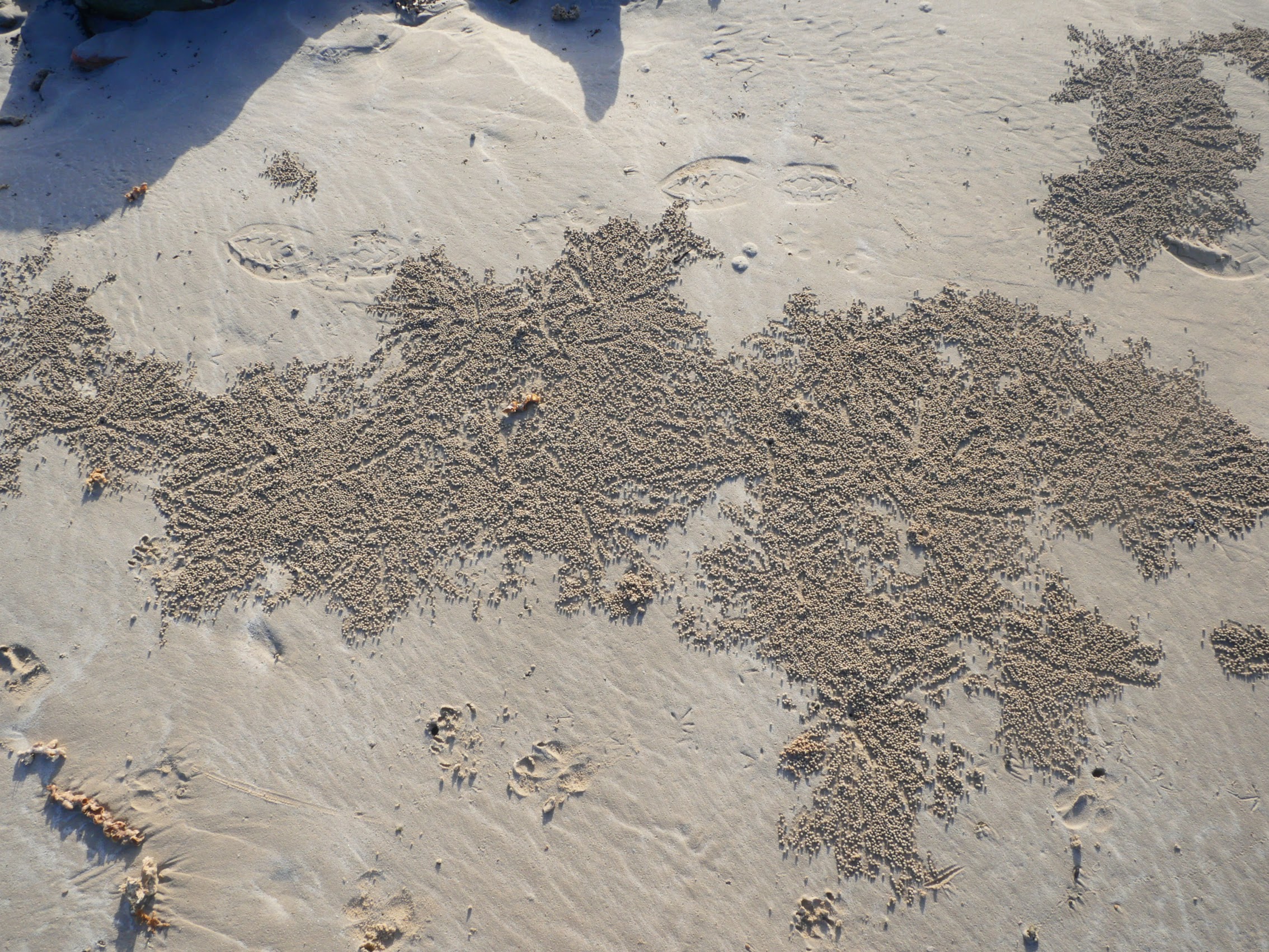
One unusual thing that we did observe on Cable Beach were patches of very small round pellets of sand similar to something I recalled seeing while we were in Zanzibar, but for which we never got a plausible explanation After doing a bit of research, I discovered that these sand balls are actually created by something called a “sand bubbler” crab, which feed by filtering sand through their mouthparts, leaving behind balls of sand, often in interesting spiral patterns, and yes, the same crabs live in Zanzibar. (I have to add that after learning crabs were their source, we were somewhat relieved to find that these sand balls were not actually crab poop.)


By about 1:30 the sun was getting pretty intense and the tide was starting to roll in and take back the extraordinarily flat beach, so we decided it was time to head out. We packed up our stuff, trekked back over the dunes and through the bush back to our place where we spent the remaining afternoon relaxing in the shade of our private pool.
With daytime temperatures in the mid to high 90’s, “real feel” temperatures ten degrees higher, and it seemingly being even hotter in the sun, we generally tried to get out in the early morning, retreating to our shaded back yard and pool during the heat of the day, and then venturing back out in the evening.
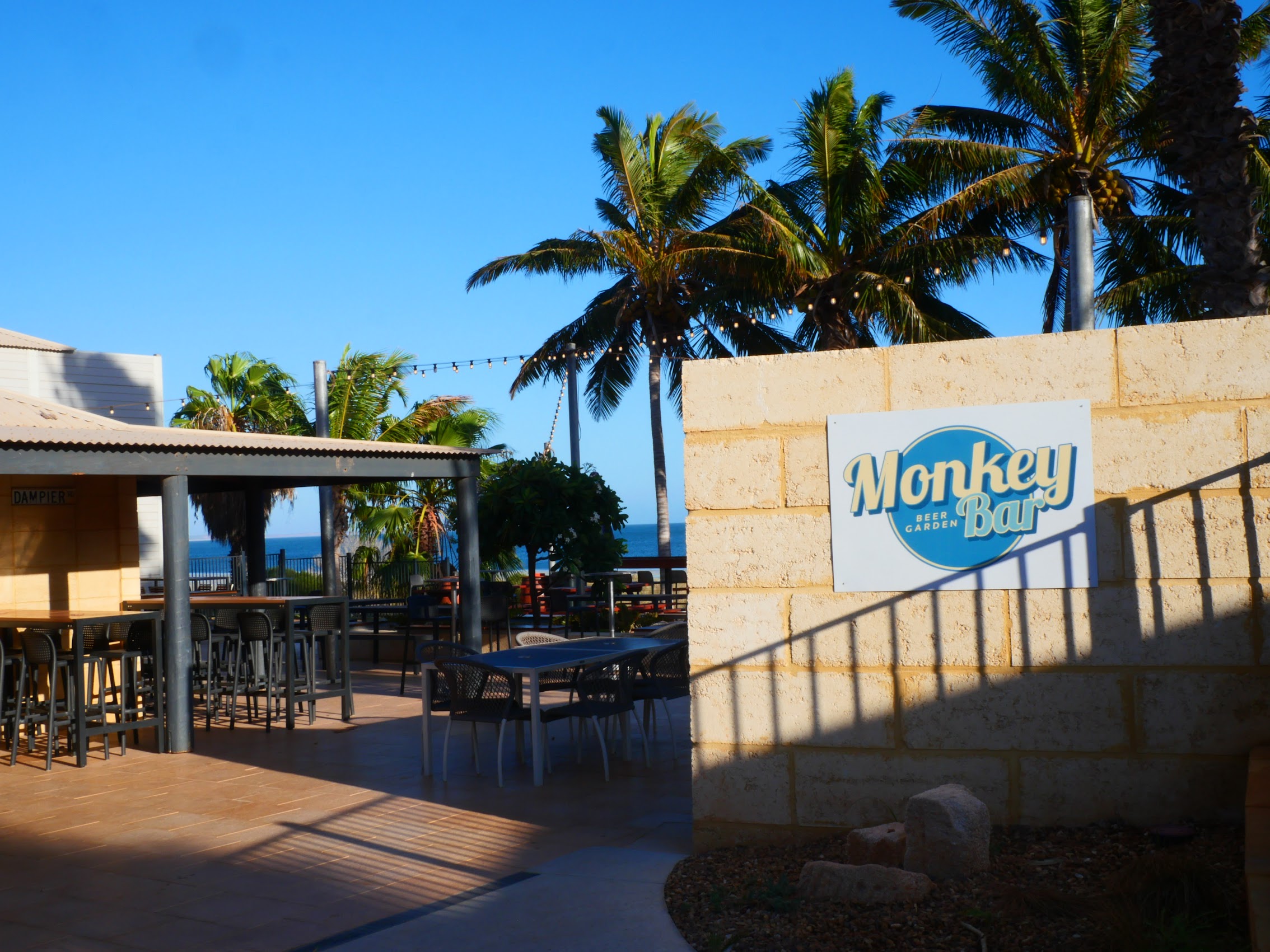
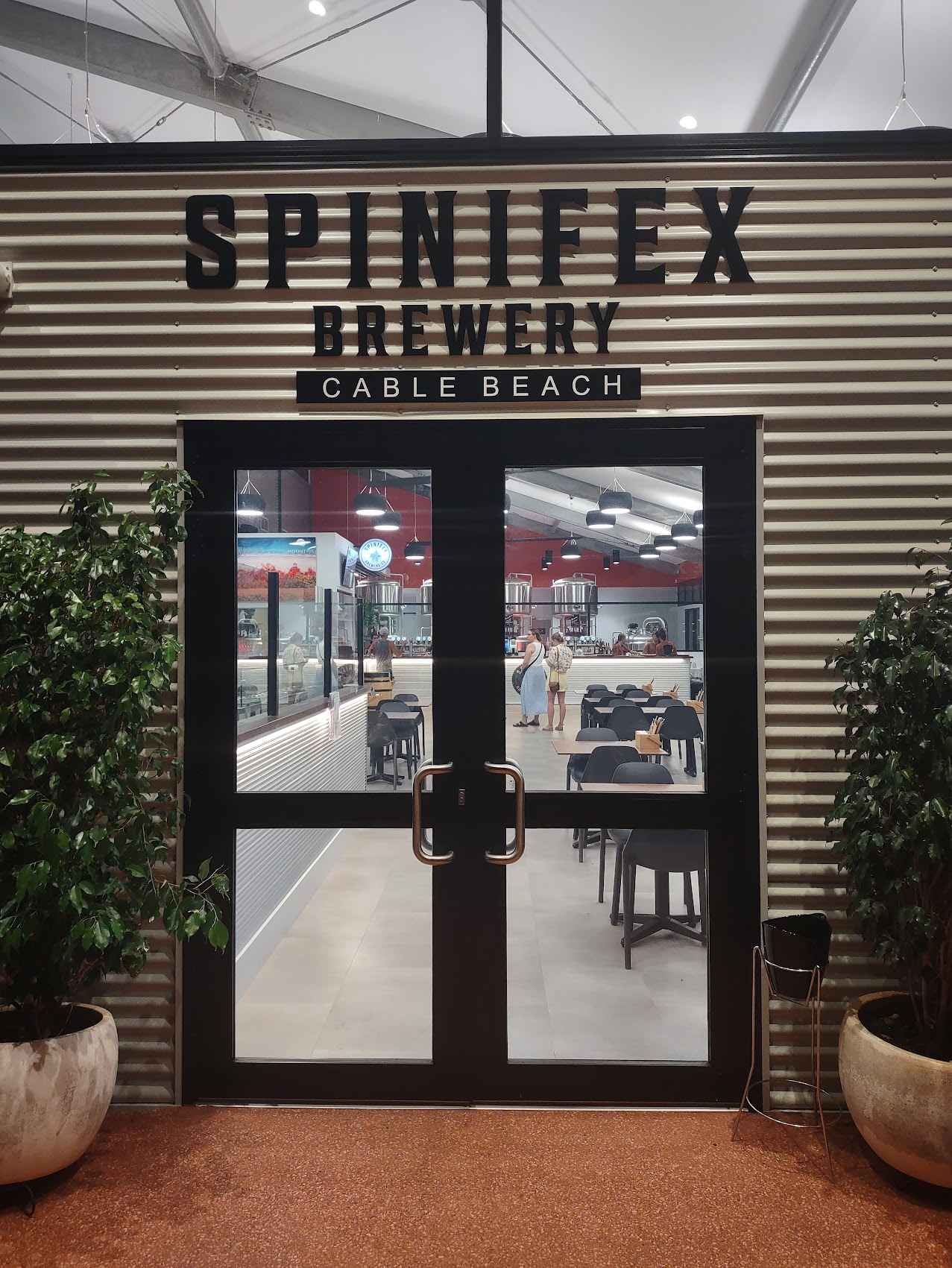
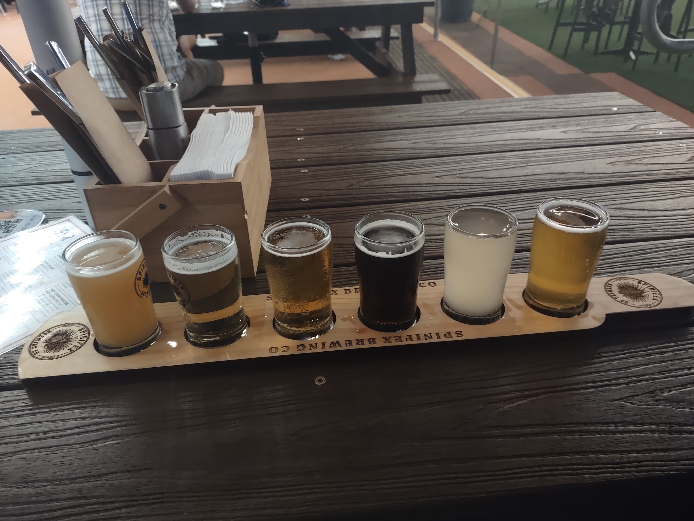
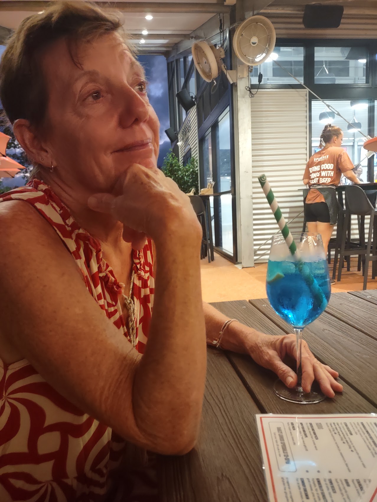
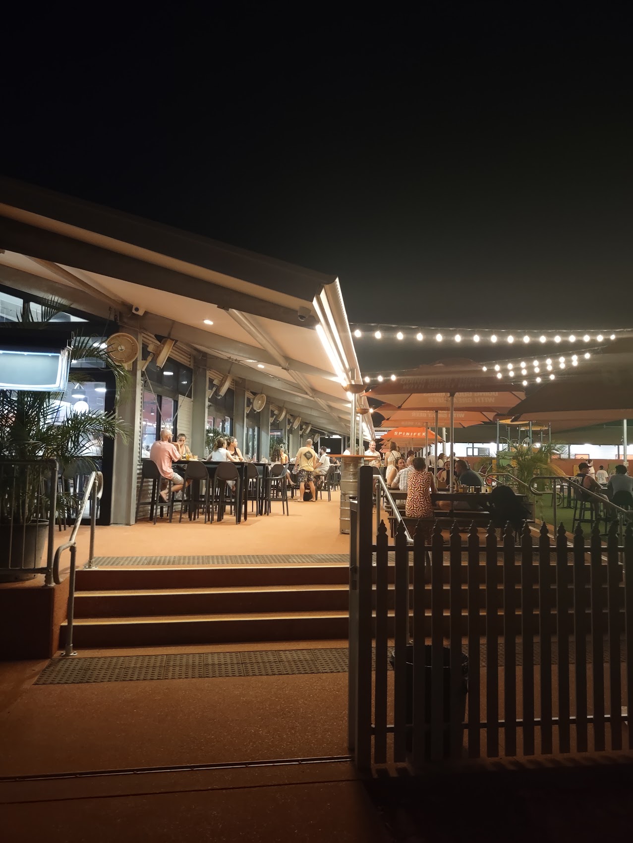
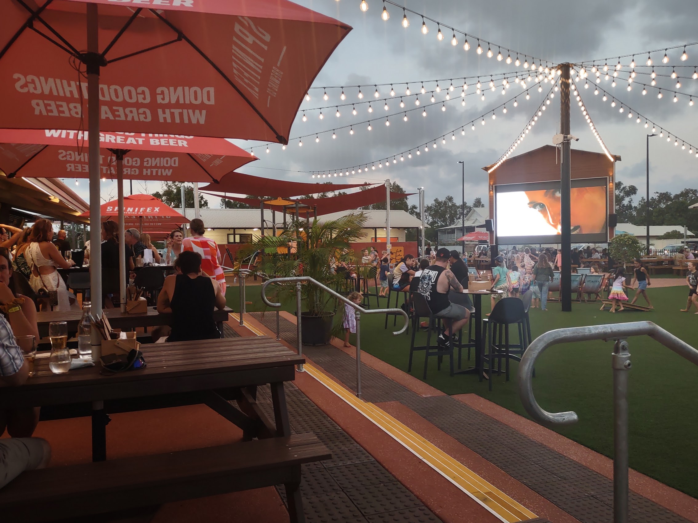
Spinifex Brewing
On Sunday evening, after cooling off in our pool, we took our E-bikes back up to the northern end of Cable Beach to check out a brew pub we had heard about called Spinifex. (Spinifex is a spiny grass common to the dry regions of Australia which had a number of uses by Aboriginals.) Located within the “Tourist Area” north of Broome, Spinifex Brewery had everything we had come to expect in an Australian brew pub, beginning with a nice selection of good beers (but sadly, no sour ales, so Colleen had to settle for a strangely blue cocktail), and multiple bars with a variety of both indoor and outdoor eating and drinking areas.

Not unlike most of the brew pubs we had experienced in Australia, Spinifex touted itself as being a very family-friendly place and they really took it to a whole new level with a large artificial turf playground at its center with a stage and a large outdoor LED screen showing kids movies. The place was pretty packed with lots of families, the parents (and sometimes grandparents) socializing while their kids frolicked and played together. Why weren’t there places like this when we had young kids?

There was another brew pub in the Broome town center called Matso’s, who claimed to be the originators of alcoholic ginger beer back in 1997 because “sometimes its just too hot to drink beer”. (Arguable, but you may recall that ginger beer is incredibly popular in Australia, often taking up almost as much space in the beer display cases as regular beer.) Unfortunately, Matso’s wasn’t open when we first came across it and we never managed to make it back when it was.
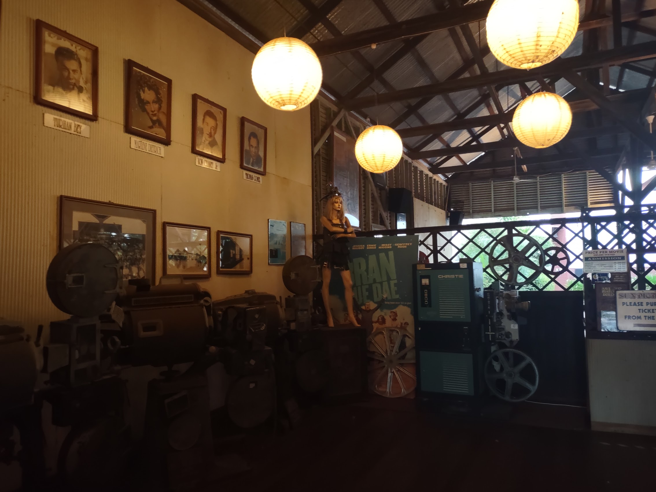
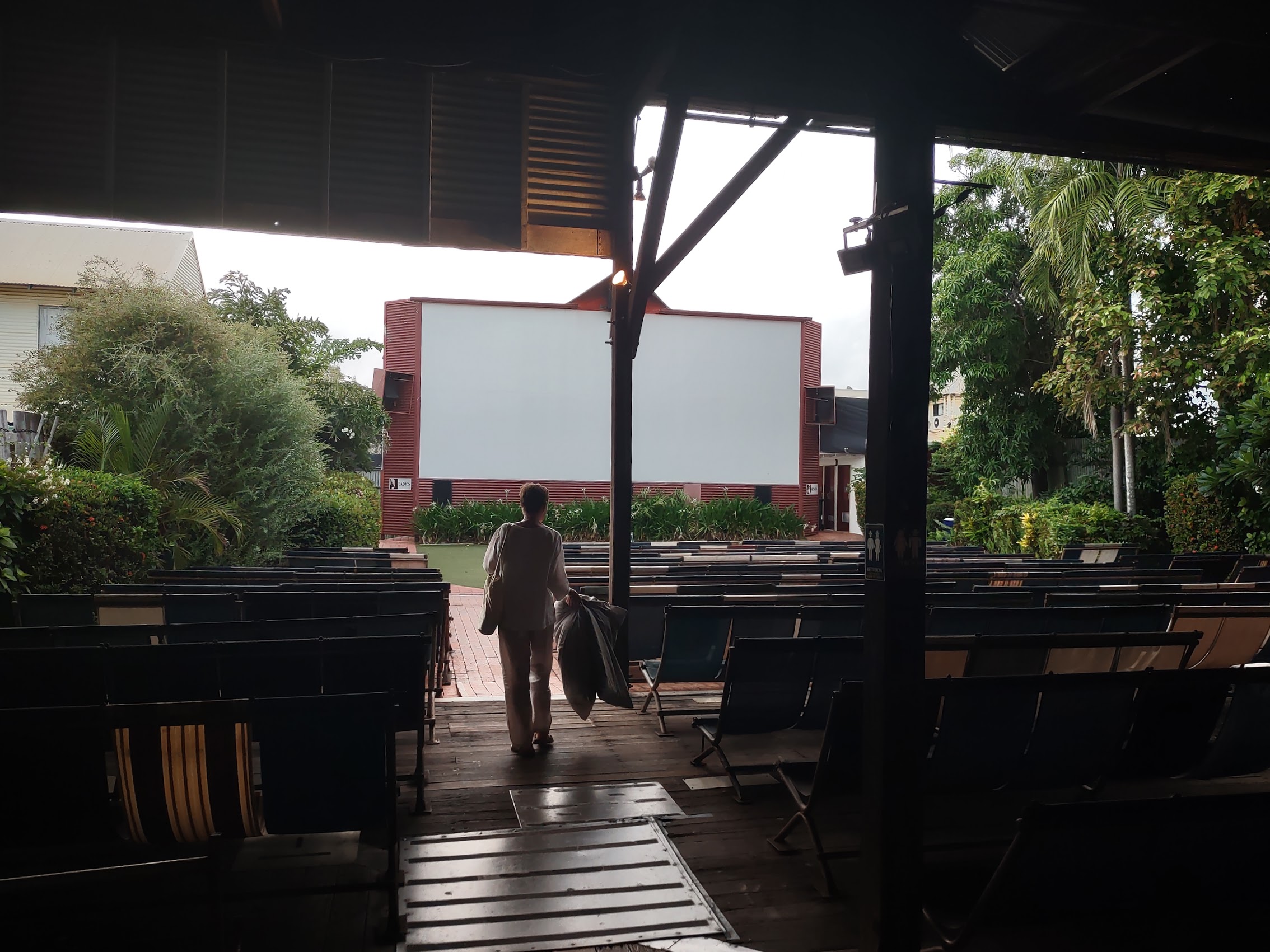
Sun Pictures
During our early explorations of China Town, we noticed what appeared to be an old movie theatre called Sun Pictures which we discovered was an open air cinema, which held a certain attraction for us. (The last time we had been to an open air cinema was 35 years ago while on our honeymoon in the small town of Paleochora on the southern coast of Crete.) Somewhat surprisingly, Sun Pictures screened two different films every evening and, after checking the offerings we decided to see Ferrari (which had only recently been released) on Tuesday night.
Prior to seeing the movie, I did a bit of research and discovered that Sun Pictures or Sun Picture Gardens as it is officially known (open air cinemas were apparently referred to as “picture gardens”), which is listed in the Western Australia Register of Historic Places, has a pretty interesting history. According to the Register citation, the building began as a store opened in 1903 by a Japanese family named Yamasaki, selling Asian clothing, food stuffs and other Asian goods. The Yamasaki’s love of theatre eventually led them to devoting part of the building to a Noh theatre. In 1913, the building was purchased by local master pearler Ted Hunter, who began converting the store into a cinema.
Sun Picture Gardens opened during the silent film era in December 1916 and continued to operate through various challenges including World War II attacks by the Japanese and recurrent tidal flooding (some claimed you could catch a fish during a screening). Although open to all, up until 1967 the theatre practiced a form of segregation with Europeans being seated in the center, other whites and Asians seated to the left, and “coloured people” (who had a separate entrance) being seated on the hard benches to the right side and rear of the theatre. In 2004, Guiness World Records declared Sun Pictures to be the “Oldest Open Air Cinema in Operation”.


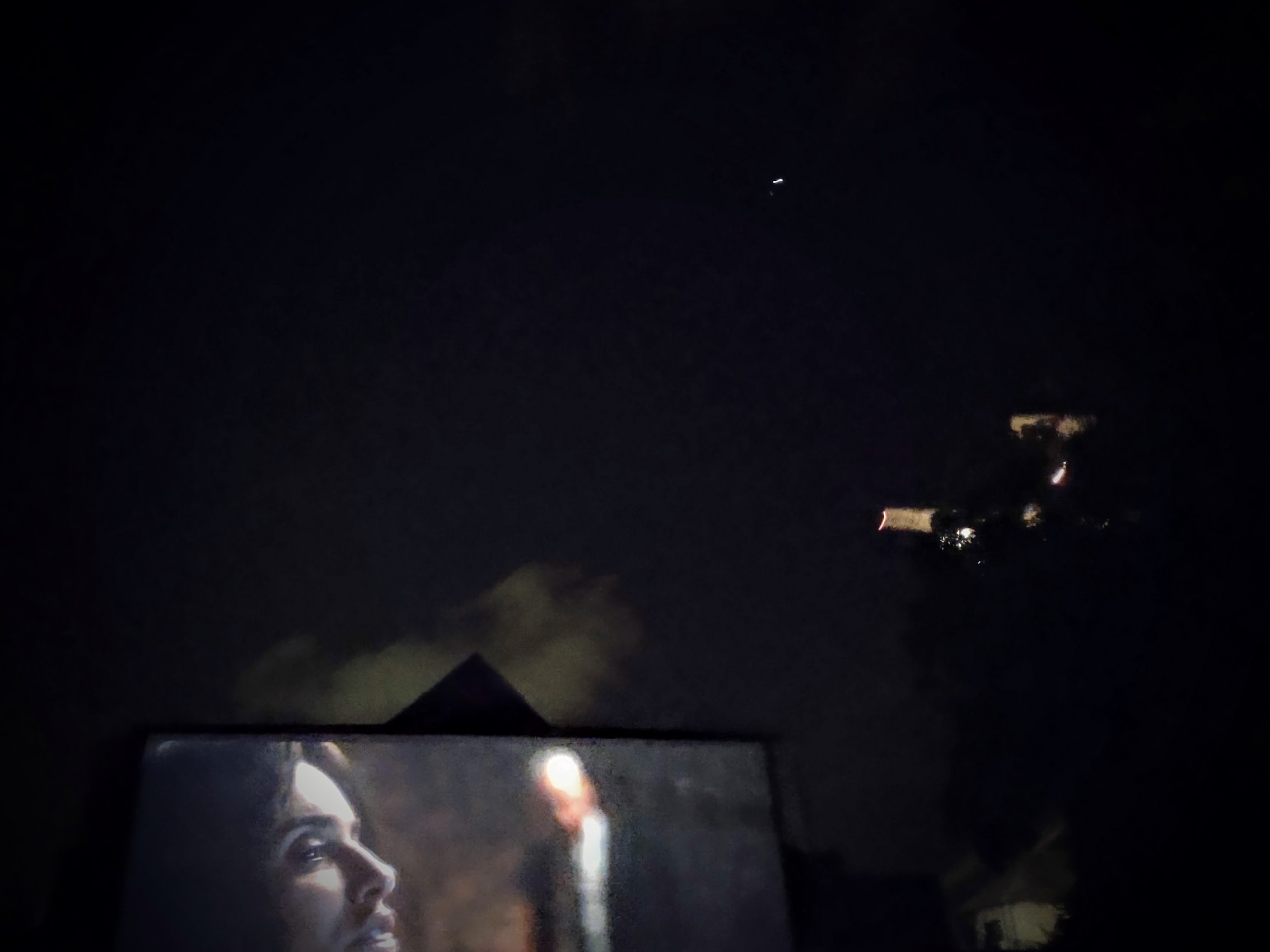
Our screening of Ferrari was quite the experience from start to finish. We arrived early (before sunset) and so were able to spend some time reviewing the historic memorabilia on display in the lobby and to make a stop in at the concessions stand for some snacks (we brought our own beverages!). With no seating restrictions and seating for at least 200 and being pretty much the first to arrive, we had our pick of seats and chose two in the middle of the European (center) section, not too close to the screen, but still under the open sky (Colleen hates front row seats). I’m also happy to report that, thanks to levis constructed during the 70’s, there was no flooding, and our feet stayed dry.
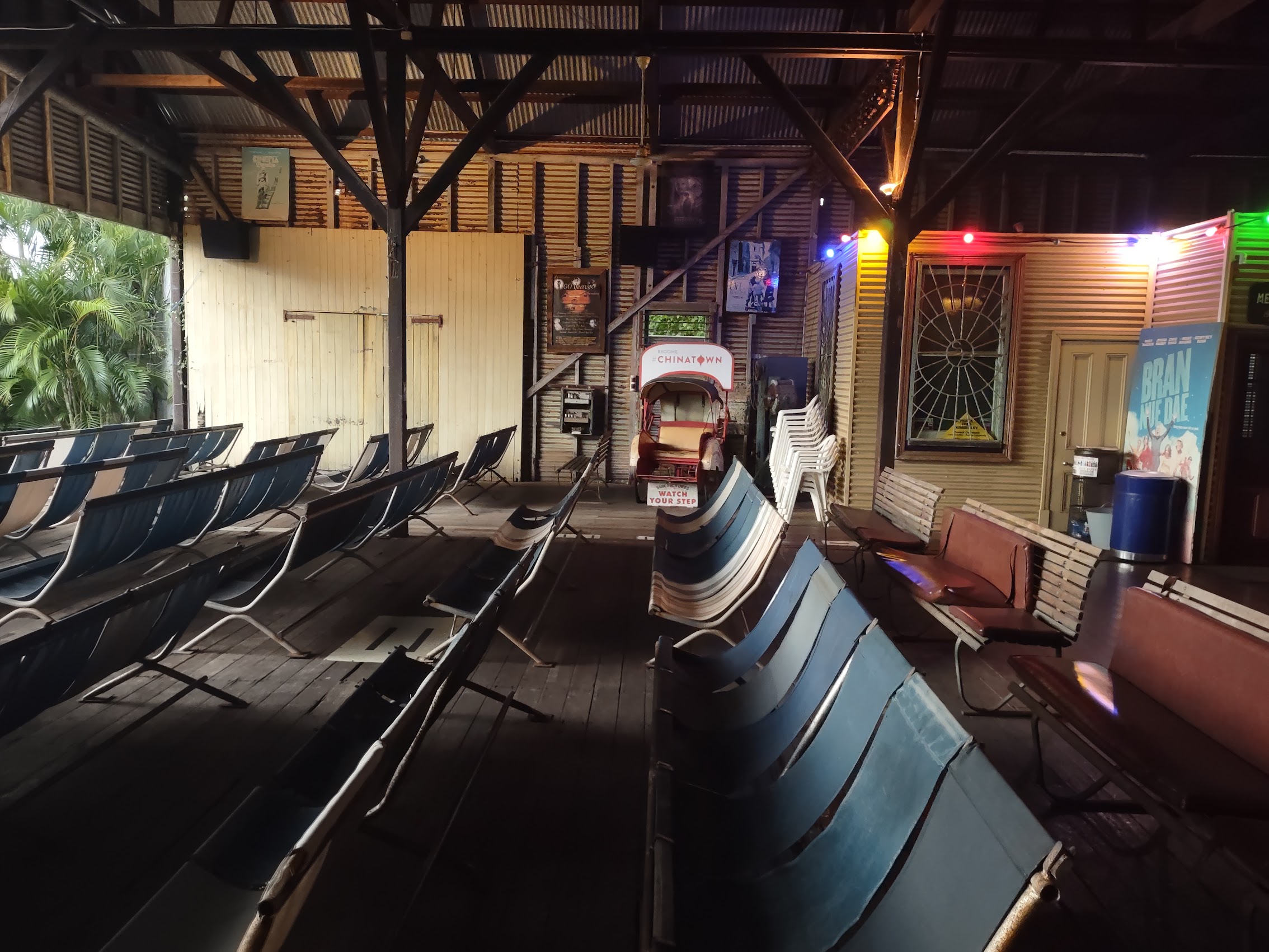

We did have one big surprise when, prior to the start of the show, a small plane passed nearly overhead at a very low altitude, and we realized that the theatre is located only about 1,000 feet from the end of the Broome Airport runway and just south of the flight path of incoming planes! While there wasn’t much air traffic after sunset, two or three small planes did fly over during screening which actually added to the experience of being in an open air cinema. (Very difficult to capture on film, but I did my best!) What a unique experience, definitely a must-do if you every find yourself in this remote place!
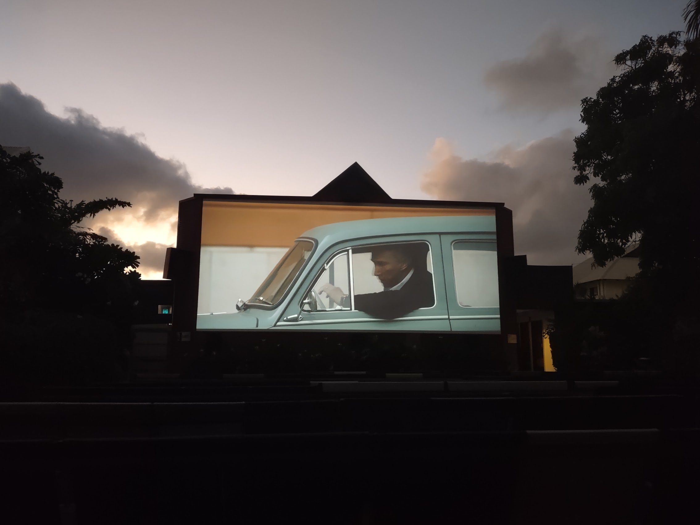
Oh yeah, the film Ferrari was actually pretty good too.
Road Trip
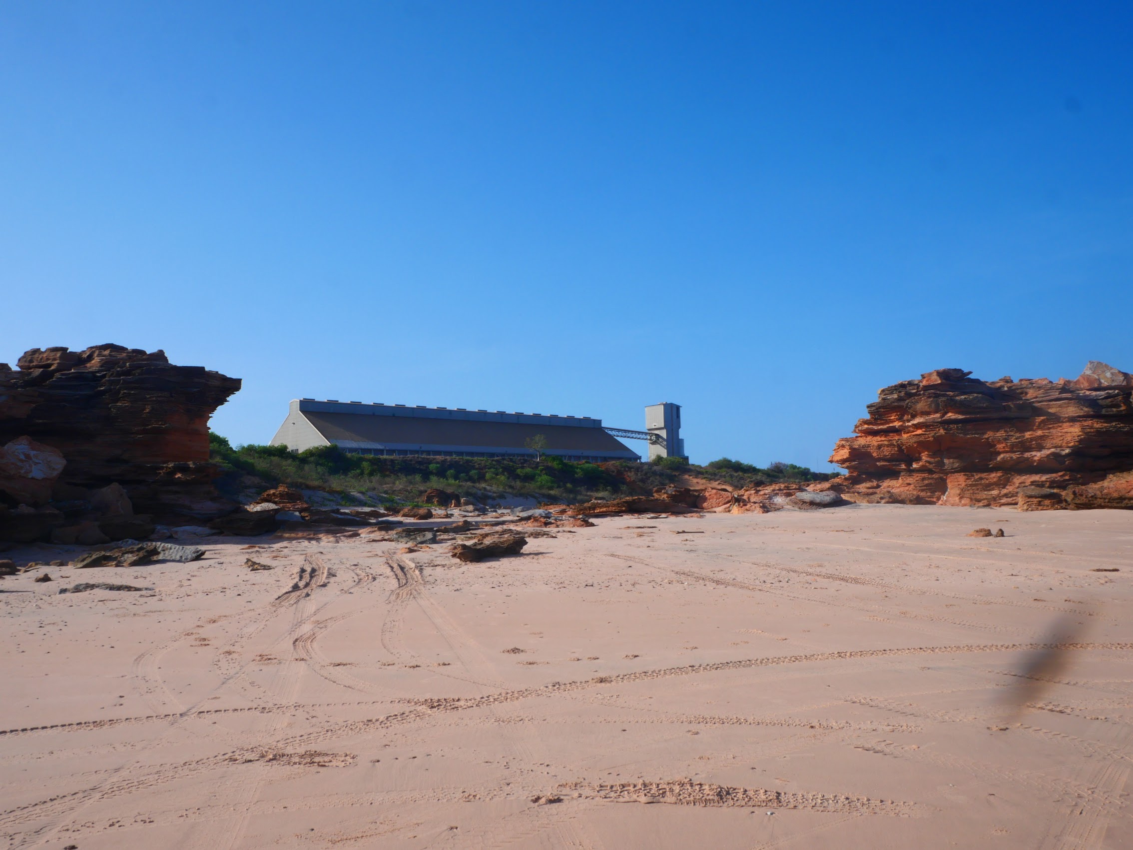
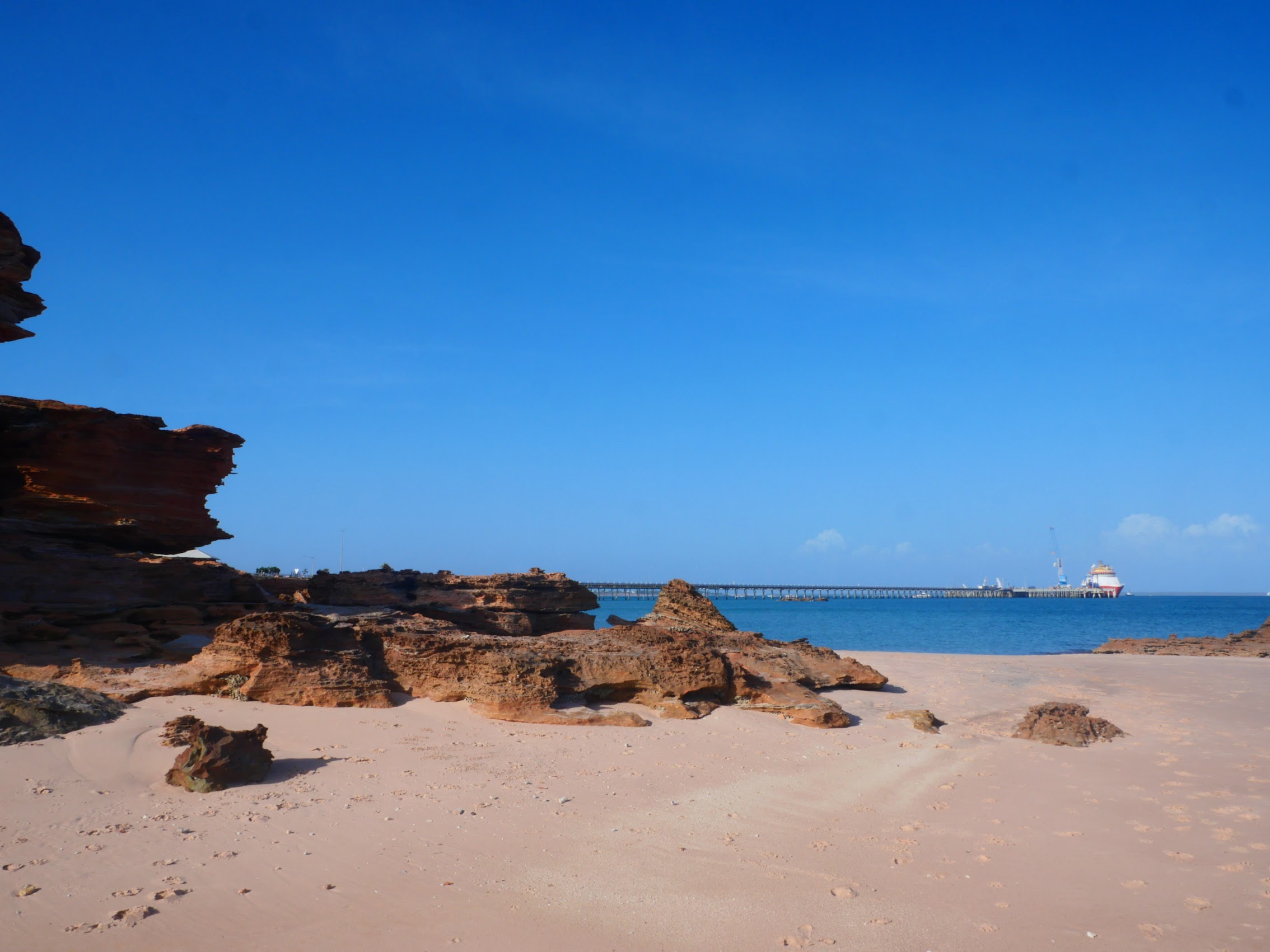
On our last full day in Broome, we decided to brave the heat of the day and venture out on our E-bikes to visit a couple of more remote points of interest. We started by heading south on the Broome Highway, following it for about 7 kilometers to its end at the Broome Port Jetty and from there down a dirt road to the extreme southern tip of the Broome Peninsula, a place called the Kabbarli Lookout.
It was a kind of interesting spot with a strange juxtaposition between the beach and rock formations of the Kabbarli Lookout and the nearby shipping and receiving structures servicing the port, but there wasn’t really anything to do or see, other than a small beach, so we continued on to our next stop, a place called Gantheaume Point, located about 7 kilometers away on the far western tip of the peninsula.

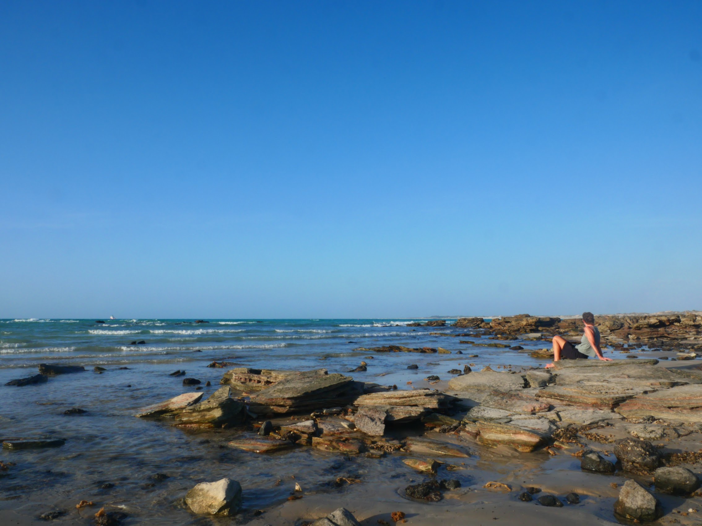
We initially tried to get there via an unpaved coast road, but it quickly turned to deep sand which seemed too treacherous to ride on the E-bikes, so we backtracked on the Broome Highway toward the west coast of the peninsula before turning south on (what else?), Gantheaume Point Road which was (mostly) paved. We stopped at the southern tip of Cable Beach, a spot known as (yup) Gantheaume Beach which had an access road allowing vehicles on to the beach there and spent a little time wandering the rocky inlet just south of it before proceeding to Gantheaume Point.

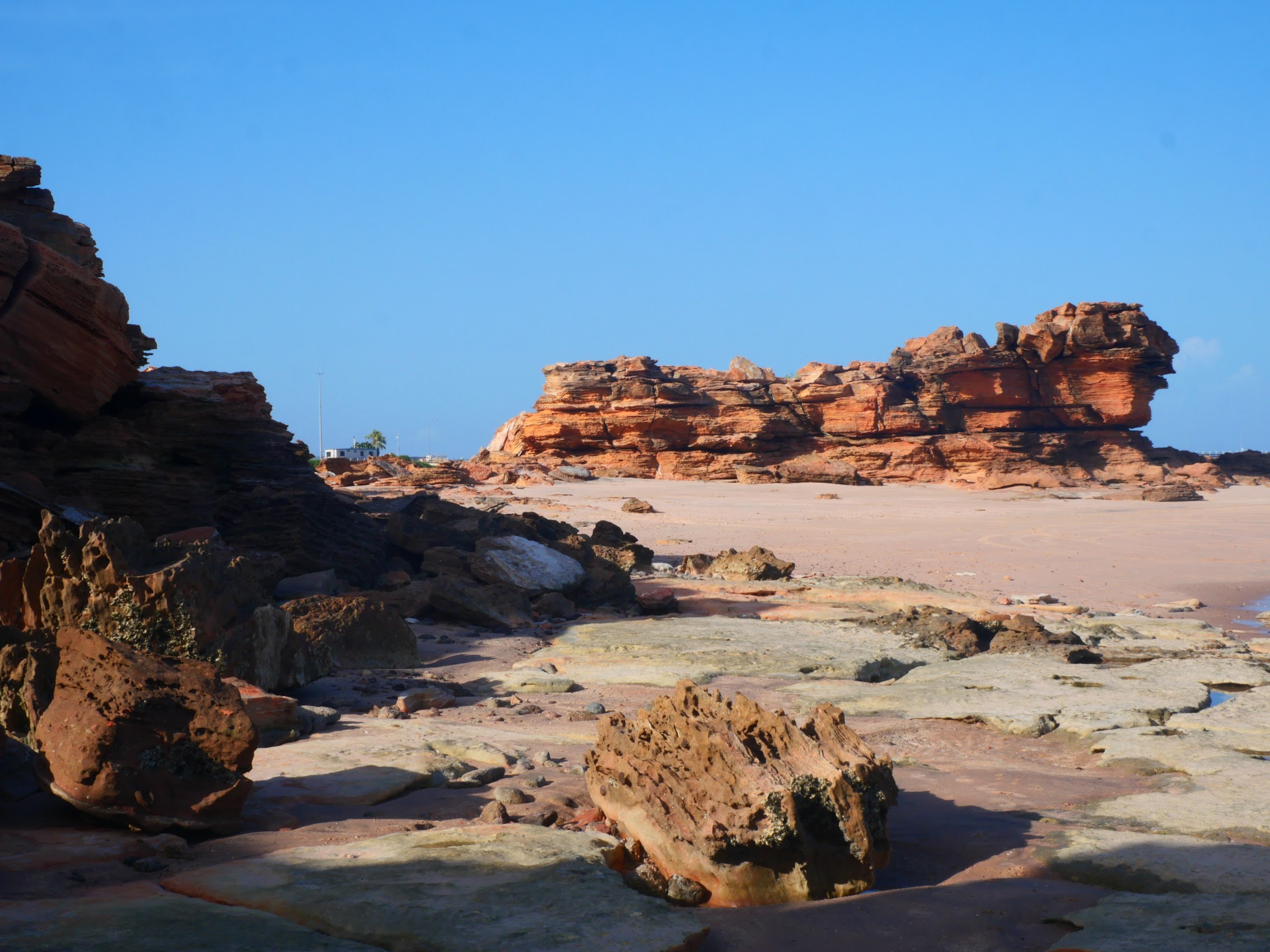
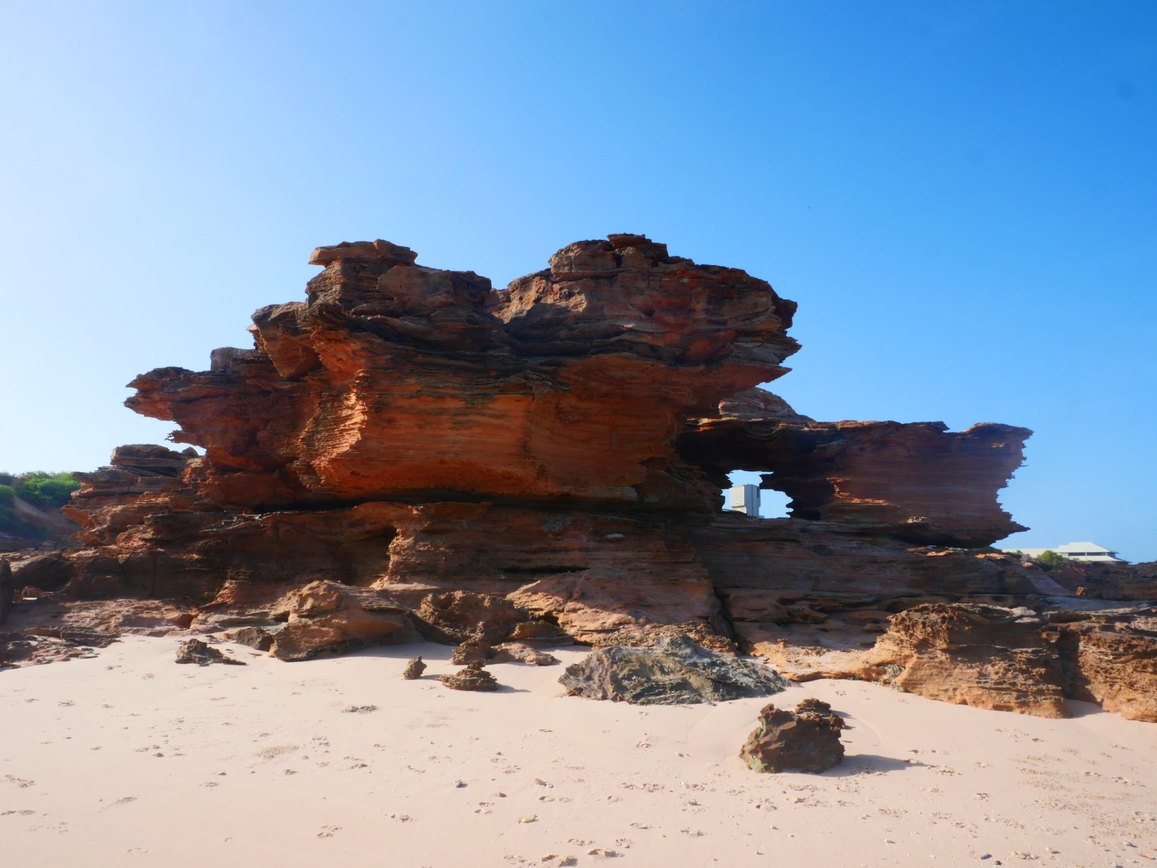
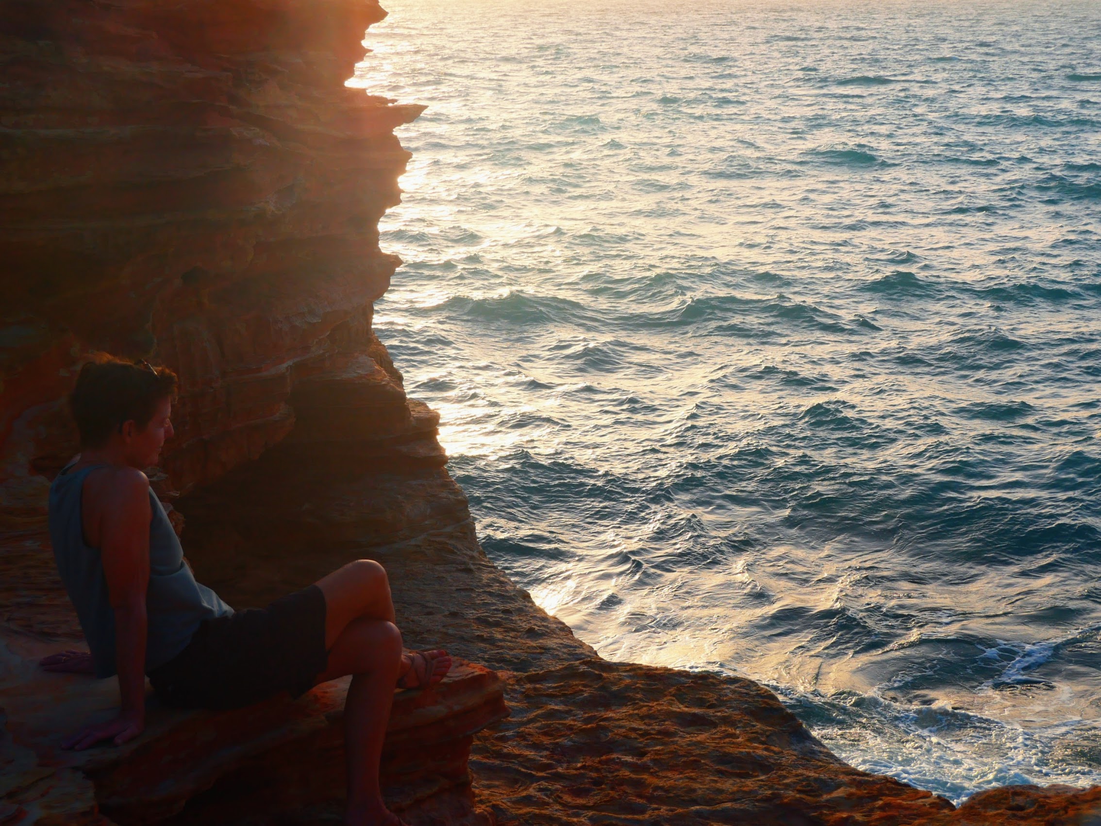
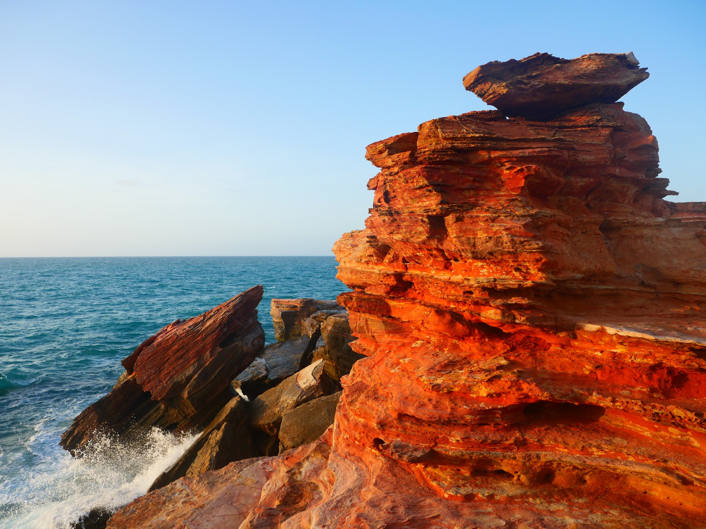
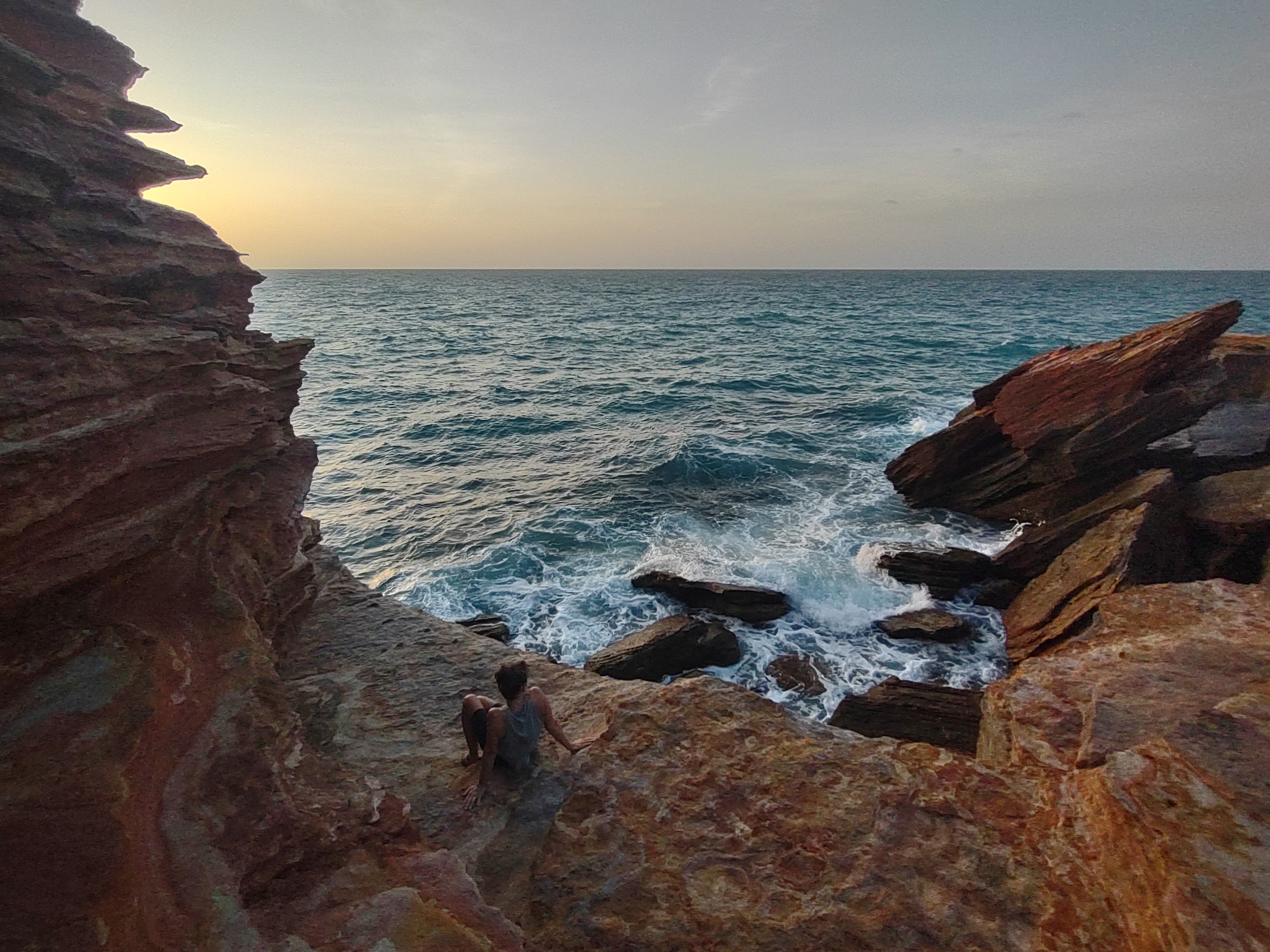
Gantheaume Point is a beautiful red rock promontory located at the far southern end of Cable Beach. There is a lighthouse there (the fourth one, the first lighthouse on the site having been constructed in 1905) as well as a small visitor center. Aside from being a particularly beautiful spot, it is also known for its fossilized dinosaur footprints which have been dated to be over 130 million years old. Unfortunately, the footprints are located in rocks about 100 feet off the point and so are only visible during extremely low tides (which it wasn’t when we were there), but there are plaster casts of them in the visitors center.


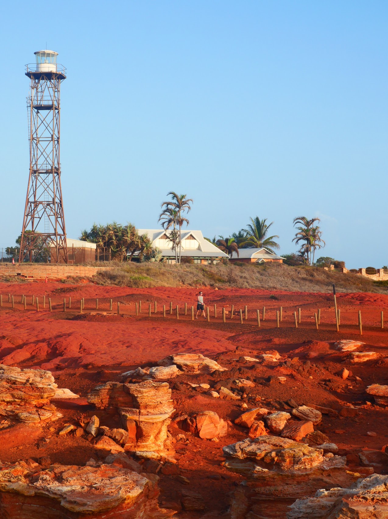
Gantheaume Point offered some spectacular views of Cable Beach stretching off to the north, but one’s attention is invariably drawn back to its intensely red sand and rock formations which contrast so dramatically with the white sands of Cable Beach and the turquoise blue of the waters which surround it. We enjoyed our last evening in Broome hanging out on the far tip of Gantheaume Point with the waves crashing on the rocks around us as the sun slowly descended over the Indian Ocean..


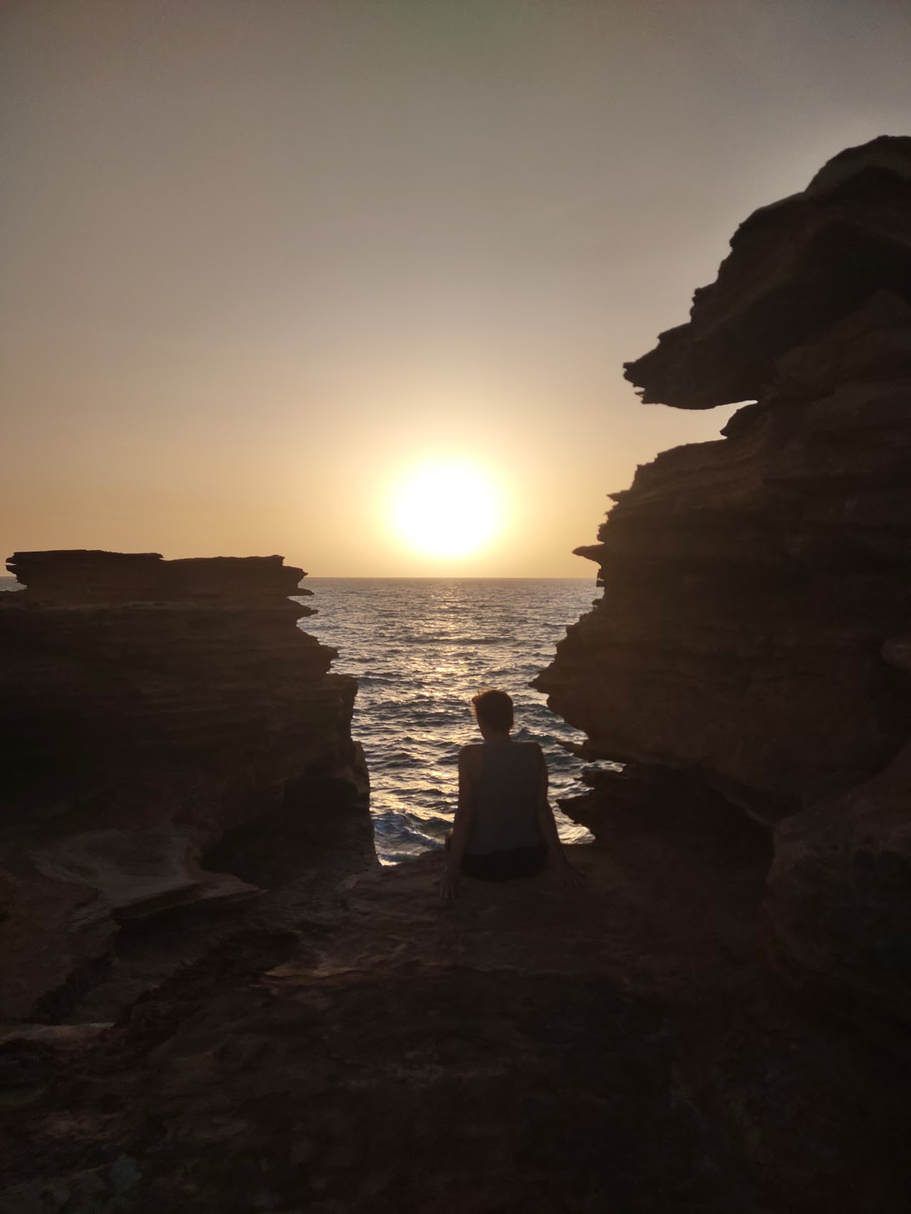
Goodbye to Western Australia
Our last sunset in Western Australia was a little bitter sweet and we were feeling a bit sad as we made our last E-bike ride home to our place in Cable Beach. Although our flight to Perth wasn’t scheduled to leave until 2 PM the next day, we spent some time that evening and were up early the next morning sorting, organizing, and packing our belongings as this was the first time we had flown anywhere in over six weeks. (It was particularly sad parting with the beach umbrella which had served us so well for the past six weeks, but we took some consolation in the hope that other travelers staying at our place in Cable Beach would make good use of it!)
We drank all of our remaining beer, ate all the remaining food we could, and packed a few snacks for what was going to be a very long day of travel. Before we knew it, our taxi to the airport arrived and we had to begin saying our goodbyes. Goodbye to Graeme and our little place in Cable Beach which turned to be our best stay on the west coast; goodbye to Broome, which had turned out to be quite an interesting place; and goodbye to Western Australia, which had turned out to be an amazingly surreal and beautiful place.
But, while this did leave us feeling a bit sad, we were also getting increasingly excited about visiting Australia’s east coast where we would be meeting up again with our friends the Maddens to continue our Australian adventure, which is where we’ll pick up in the next installment. Until then, g’day mate!

Leave a comment